







Ore Trail St. Goar
A hike that takes you over the Werlauer Höhe through vineyards and past the Werlauer mine. Along the way, you will be rewarded with magnificent views at many viewpoints such as the "Pilz" and the "Prinzenstein"....
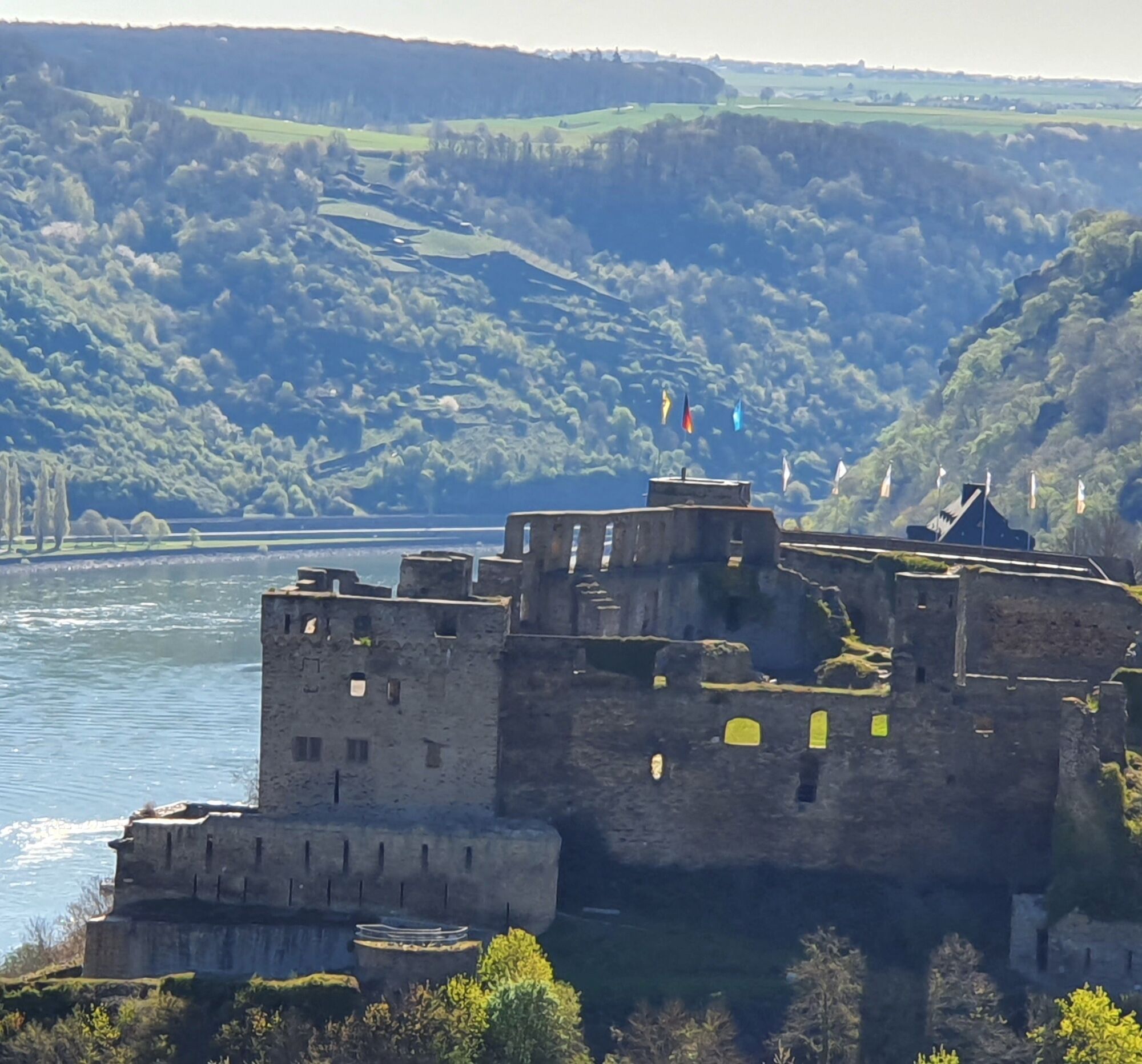
A hike that takes you over the Werlauer Höhe through vineyards and past the Werlauer mine. Along the way, you will be rewarded with magnificent views at many viewpoints such as the "Pilz" and the "Prinzenstein". The view of the Rheinfels is equally unique. Many information boards tell the history of mining in the region and historical background.


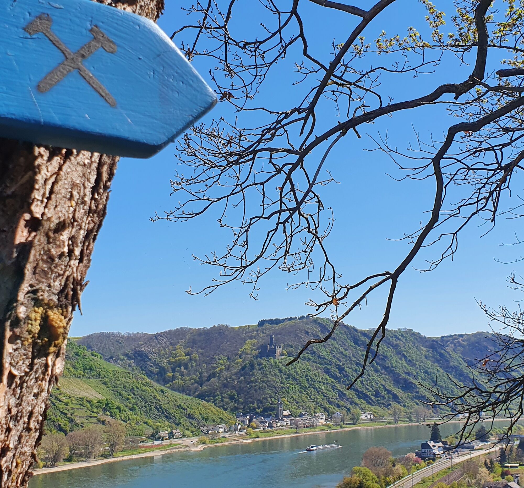

We cross the village street "Alte Heerstraße" and go straight through the street "An der Heimbach" into the Heimbach Valley. The narrow footpath takes us from Fellen in the valley up to the Werlauer Höhe, the "Hartenberg", where we turn left at the second intersection. From the Telekom transmission station, we go left along the edge of the slope with magnificent views to the "Pilz" and further left around the farm "Auf der Schanz" to the vineyards.
We follow the paved vineyard path until just before the state road coming from St. Goar, then walk under the road across a meadow path to the Rheingoldbad parking lot.
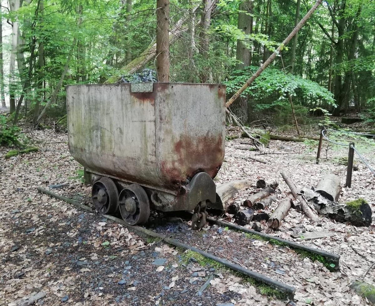
We follow the paved service road to the forest, where we take the Ore Trail past the Werlauer mine up to the "Rehstall" hiking parking lot. We cross the state road and take the next path to the left to Boxberger Hof. At the large themed information board, we take the left path and come to the hiking parking lot at the spoil heap. Here we turn right and pass a barbecue hut. Our path leads us downhill into the Brandswald.
The paved road takes us past the former Brandswald forester's lodge and the Brandsweiher. Then we turn left and walk past a residential area on a forest path to the "Prinzenstein" viewpoint. From here you enjoy another magnificent view. Now the path leads us right and to the district of Fellen, where we reach our start and finish point at the "Spritzenhaus" via the "Alte Heerstraße".
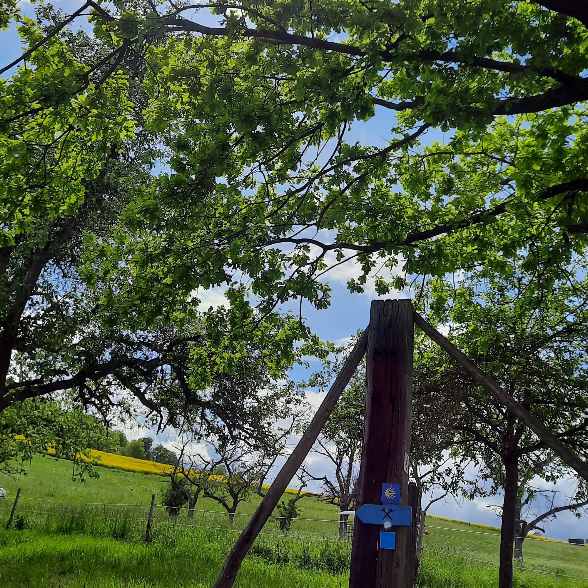
The path is continuously marked with wooden signs with the mine symbol.
Good footwear is recommended. Also feel free to bring a snack to enjoy at the beautiful viewpoints.
no special safety instructions
From Koblenz or Bingen via federal road B 9
From Lahnstein or Rüdesheim via federal road B 42 to St. Goarshausen, then ferry crossing
Via Autobahn 61, exit "Pfalzfeld", then via K100 to St. Goar
The district St. Goar-Fellen lies about 2.5 km north of St. Goar on the B9.
By train to St. Goar station. From there, it is about 2.5 km along the Rhine to the starting point of the hike.
Bus line 680 runs between St. Goar/Station/Ferry and St. Goar/Fellen
No public parking. However, there are parking options in the residential area of St. Goar-Fellen.
Check the weather report from the Rheinfels Ranger in the Heimbach Valley
Obľúbené výlety v okolí
-
4,6
Traumschleife Ehrbachklamm
ťažkéTuristika 11,0 km -
4,6
Langhalsweg Osterspai
strednáTuristika 7,50 km -
5,0
Traumschleife Mittelrhein
ťažkéTuristika 14,7 km -
5,0
Kaub - Burg Herzogenstein - Spitznack - Hasenberg
ťažkédiaľková pešia trasa 22,1 km -
4,6
Panorama Trail St. Goar
strednáTuristika 8,47 km -
4,3
Dream loop Werlauer Pilz
svetloTuristika 5,60 km -
5,0
Traumschleifchen Pfalzblick
svetloTuristika 5,68 km -
4,5
Boppard - Restaurant Cafe Vierseenblick - GedeonsEck
ťažkéTuristika 4,99 km -
4,5
Traumschleife Elfenlay
ťažkéTuristika 11,4 km -
5,0
Traumschleifchen Baybachquellen
svetloTuristika 6,22 km
Turistika a stopovanie


Nenechajte si ujsť ponuky a inšpiráciu na ďalšiu dovolenku
Vaša e-mailová adresa bol pridaný do poštového zoznamu.





