


AhrSchleife WeinBergBlicke
Úroveň náročnosti: T2
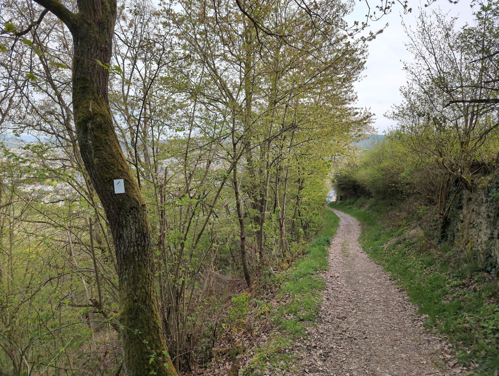
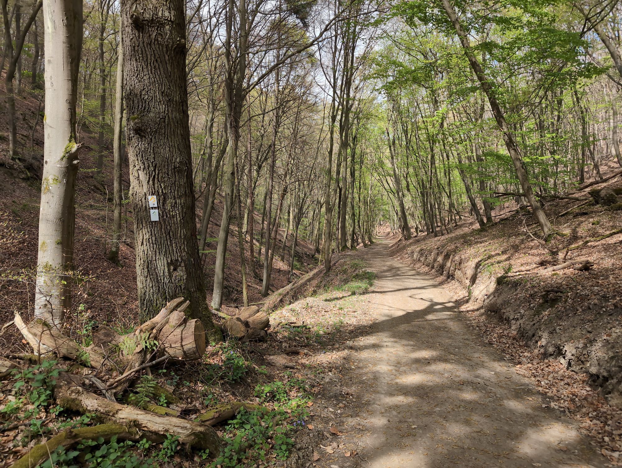
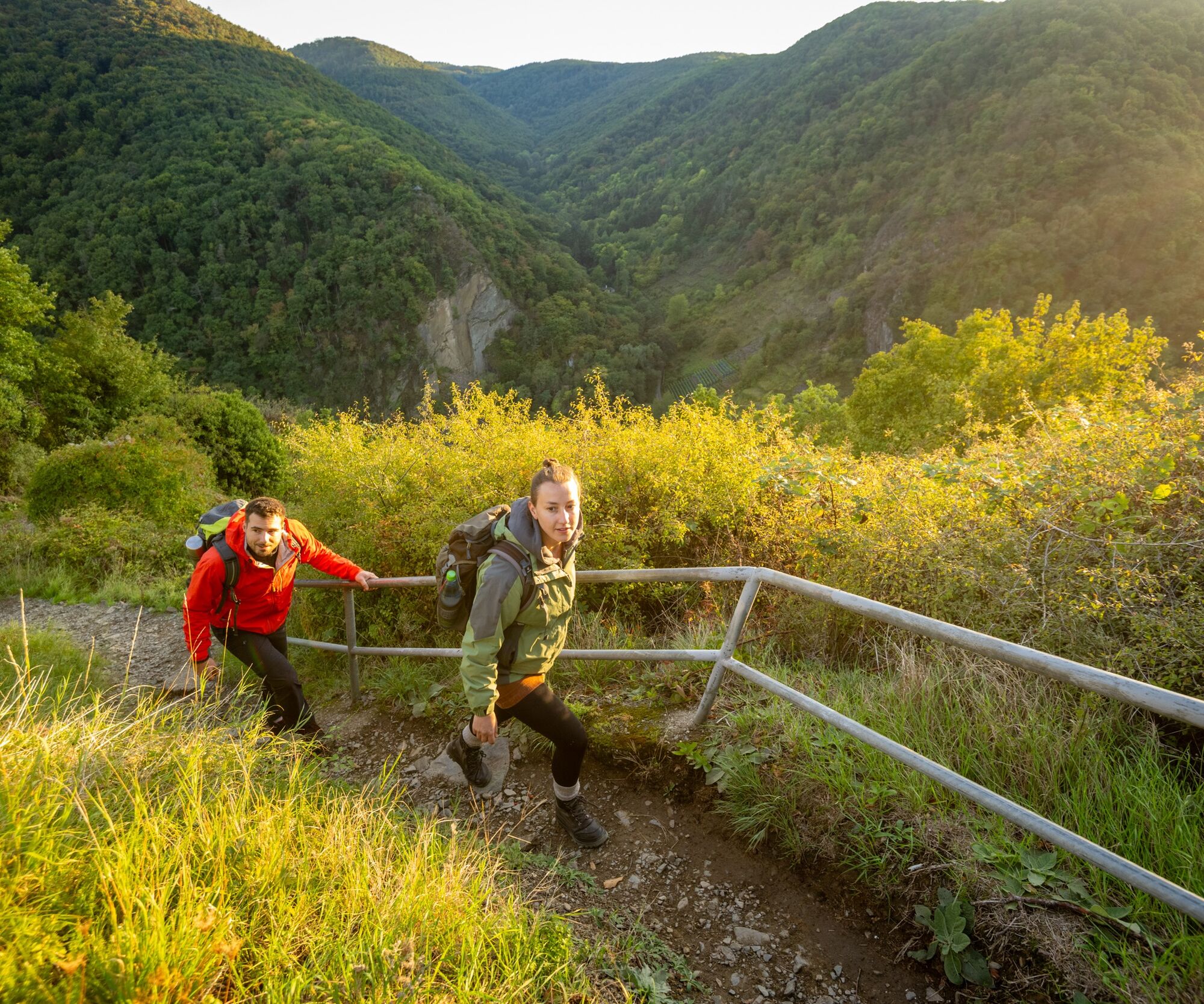
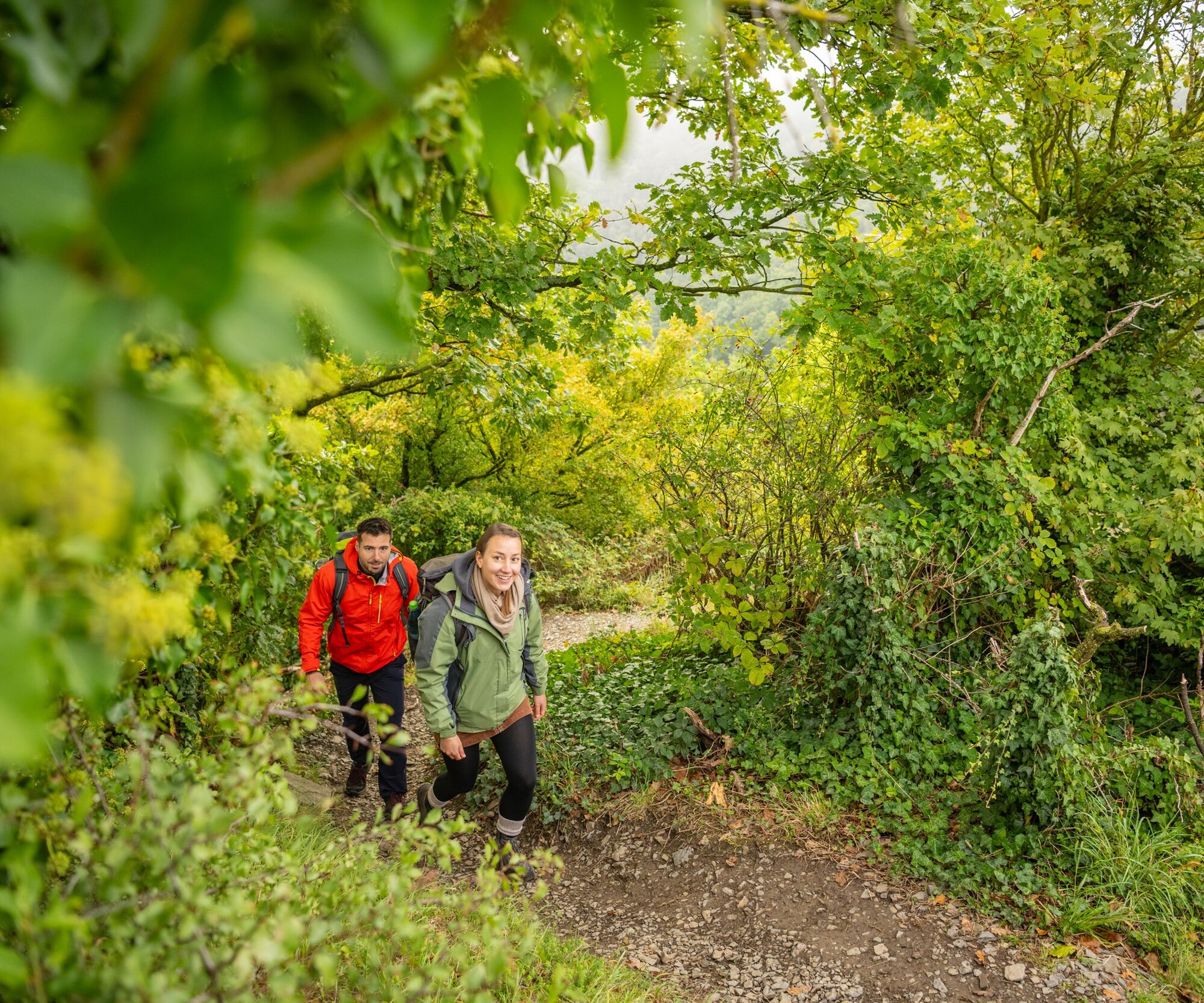
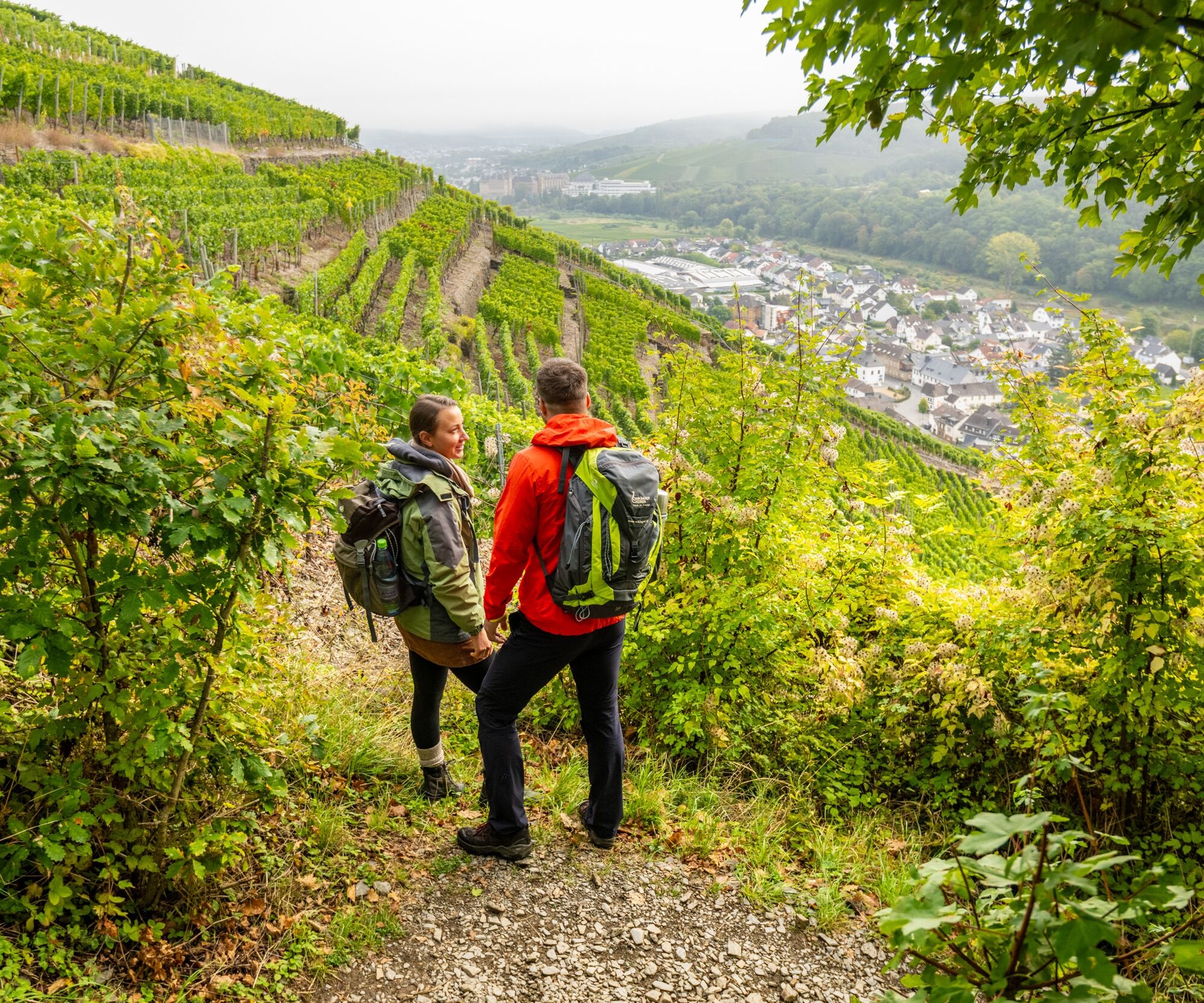
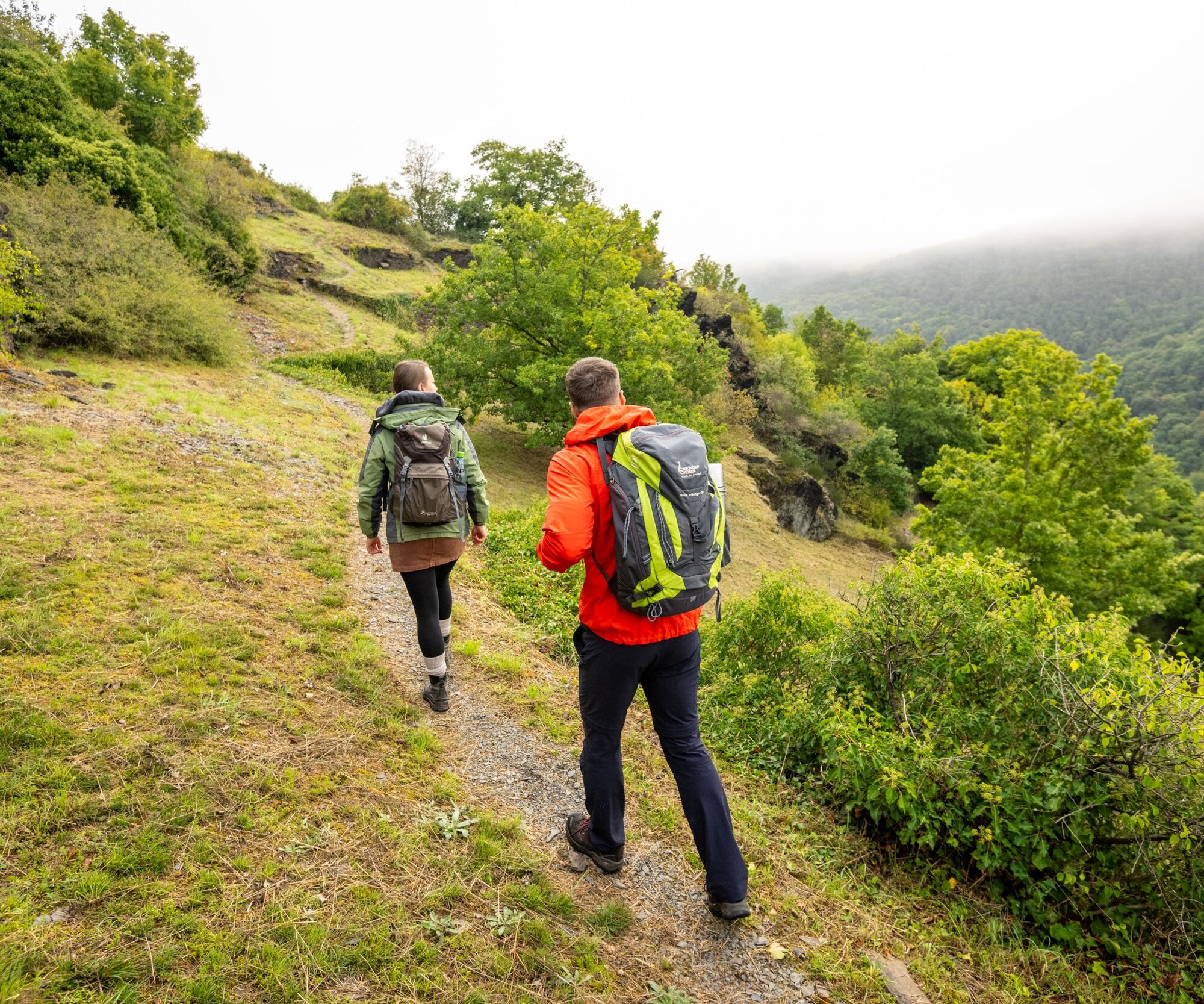
From the Maibachklamm gorge, you hike along wooded paths to the Katzley viewpoint. The trail continues down to the Ahr to Walporzheim and on the other side of the Ahr through steep terraced vineyards up...
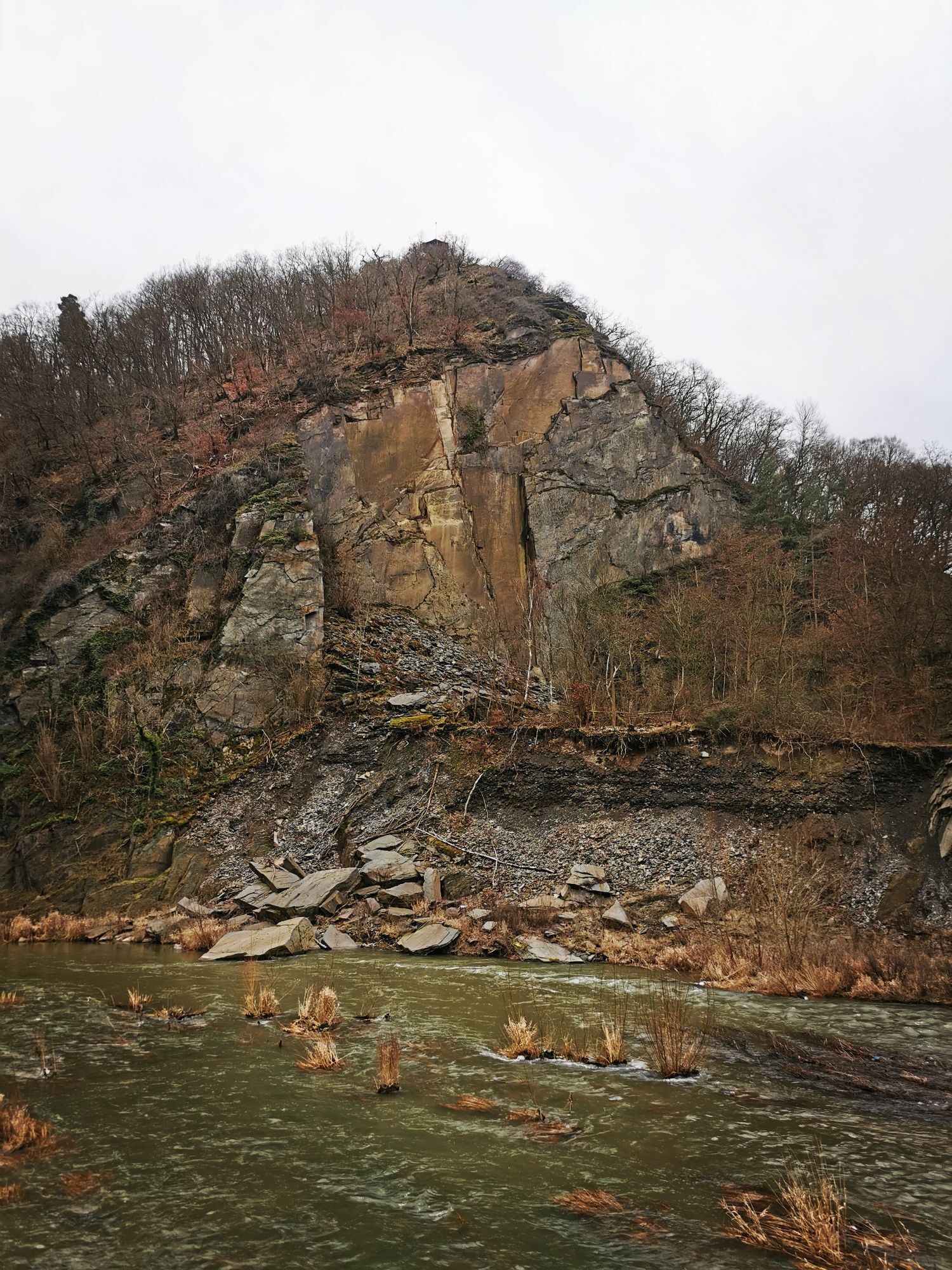
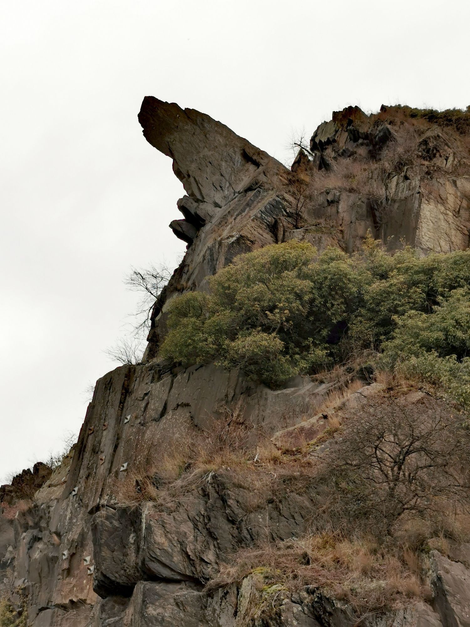
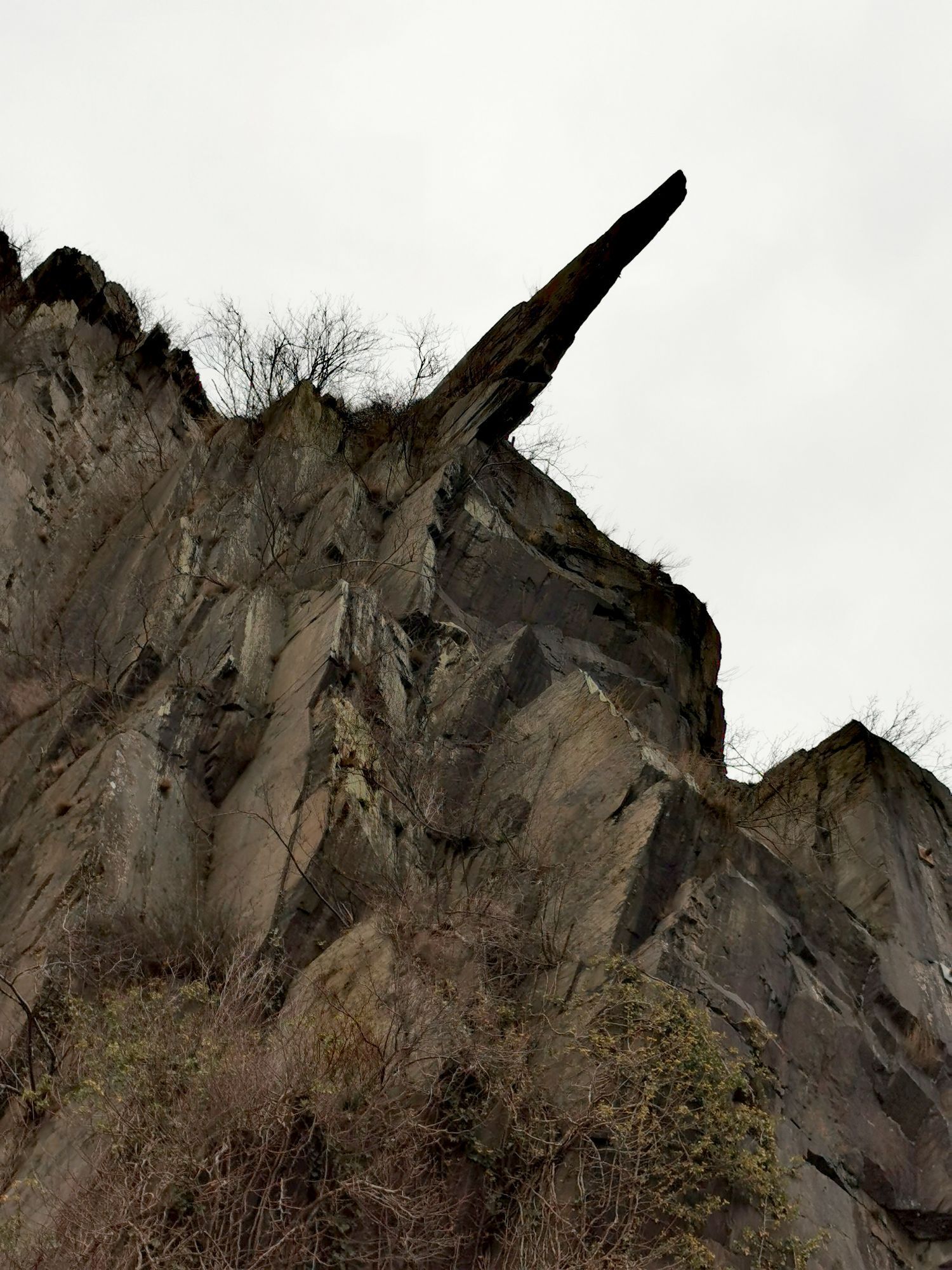
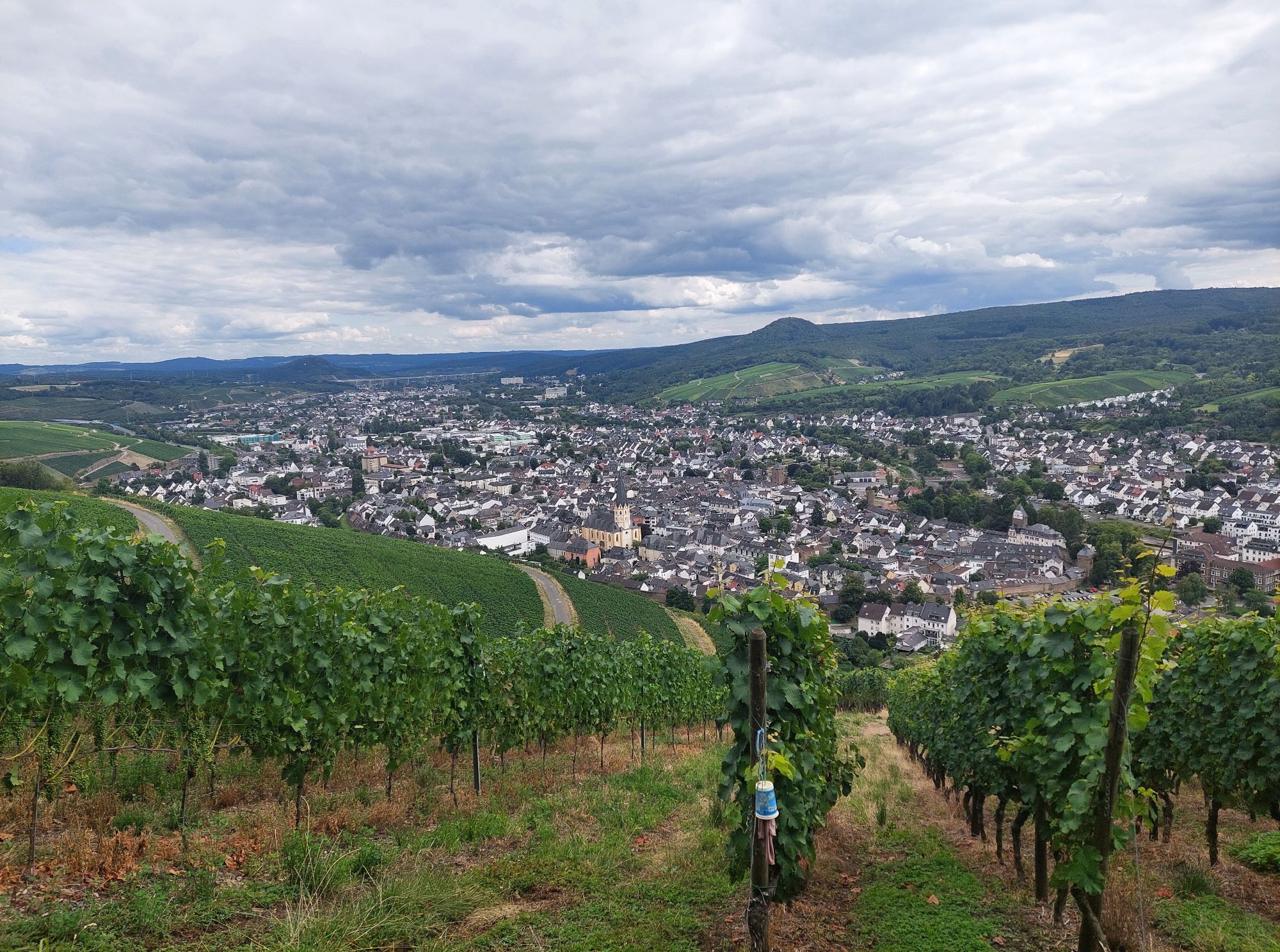
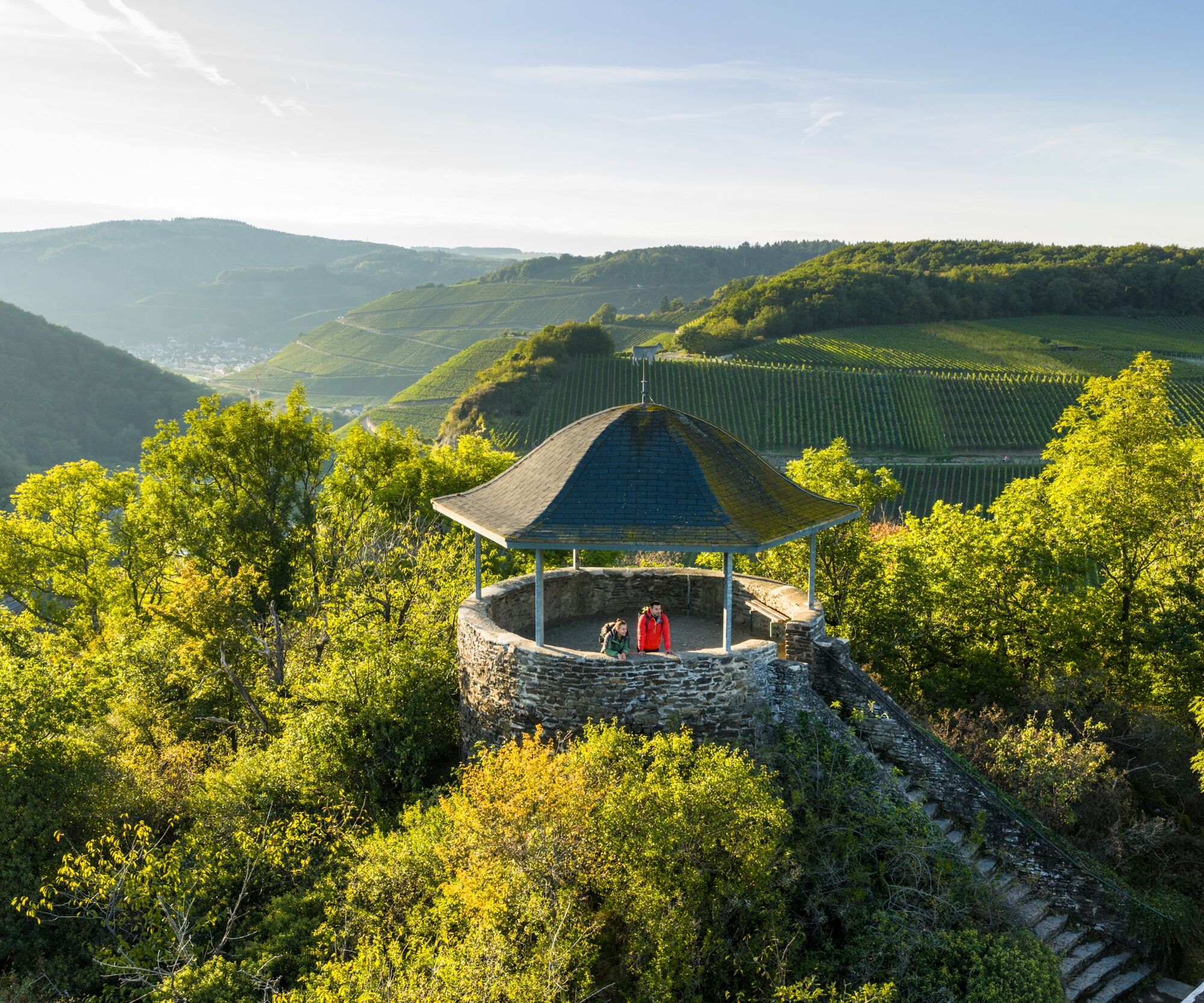
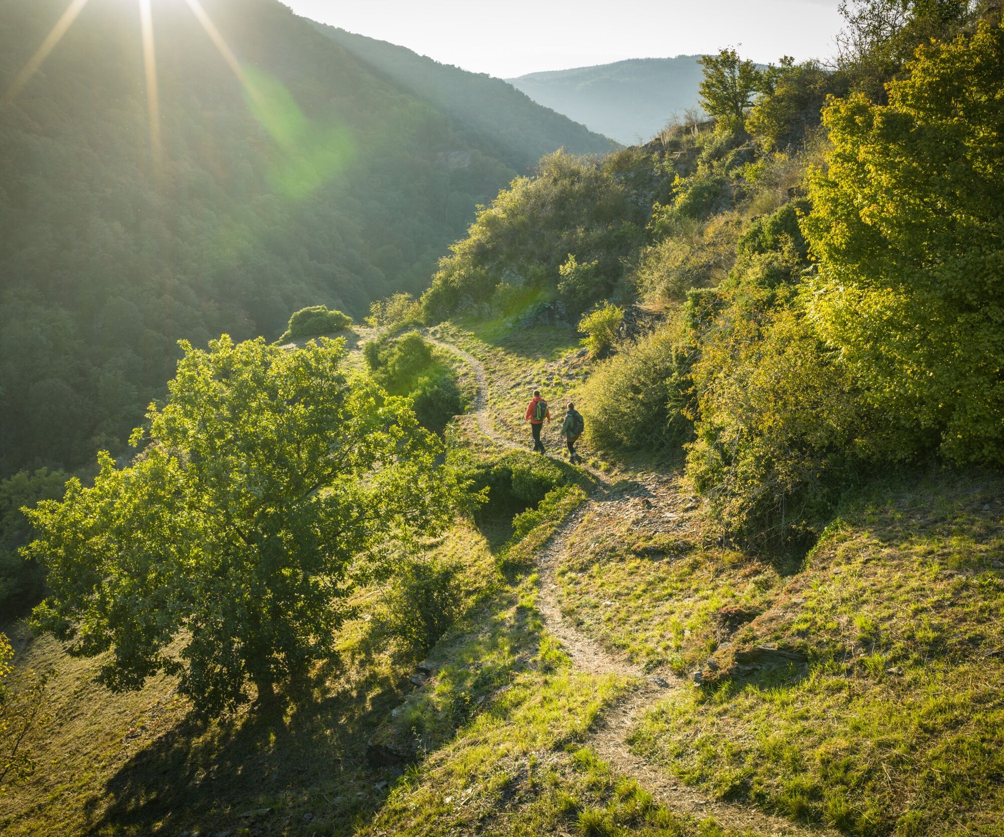
From the Maibachklamm gorge, you hike along wooded paths to the Katzley viewpoint. The trail continues down to the Ahr to Walporzheim and on the other side of the Ahr through steep terraced vineyards up to the Bunte Kuh, which greets you from afar with its rocky outcrop and the pavilion perched on top. With a magnificent panoramic view over the Ahr valley, the trail runs gently up and down through the vines and into the forest, past the wooden EVA tower, until the view opens up again and Ahrweiler with its magnificent St. Laurentius Church lies at the hiker's feet. The AhrSchleife leads through the historic old town and the Ahr Gate back to the starting point at the Quarzkaul hiking parking lot.
to the Quarzkaul hiking parking lot in Ahrweiler
For those arriving by public transport: start the tour from Ahrweiler Markt station
Quarzkaul hiking parking lot in Ahrweiler
T2
Obľúbené výlety v okolí
-
4,0
Teufelsloch-Höhenwanderung
strednáTuristika 7,44 km -
5,0
Round route Bad Neuenahr No. 5 - Through the Ramersbach Forest
strednáTuristika 9,31 km -
Weinwanderung Dernau nach Ahrweiler
Turistika 23,4 km -
4,7
Rundwanderung Rech / Steinerberg
strednáTuristika 14,2 km -
Burg Are - Engelsley Nord - Süd und im Tal zurück
ťažkéHorská turistika 3,63 km -
5,0
Leichte Rund-Wanderung Dernau / Mayschoß
svetloTuristika 5,46 km -
3,5
Rund um die Safenburg
svetloTuristika 8,10 km -
5,0
Rund um Mayschoß und Altenahr
strednáTuristika 17,3 km -
5,0
AhrSteig Etappe 5: Kreuzberg-Walporzheim
diaľková pešia trasa 14,6 km -
3,0
AhrSchleife Auf Wolfsgraben
Turistika 6,37 km
Turistika a stopovanie


Nenechajte si ujsť ponuky a inšpiráciu na ďalšiu dovolenku
Vaša e-mailová adresa bol pridaný do poštového zoznamu.