


Circular hiking trail 3 - Lambrecht (Pfalz) - round table


The circular hiking trail 3 is continuously marked with a black number 3 on a white metal sign (12x12cm size).
The tour starts at Lambrecht (Pfalz) train station. From there, it goes a bit through the...
The circular hiking trail 3 is continuously marked with a black number 3 on a white metal sign (12x12cm size).
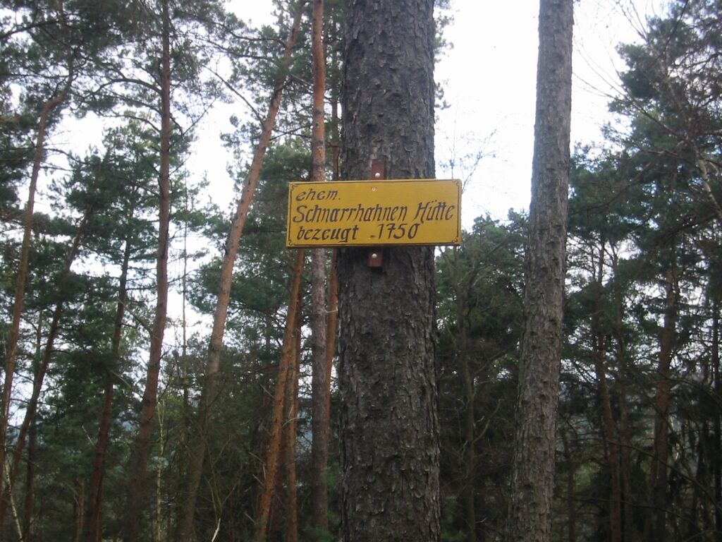
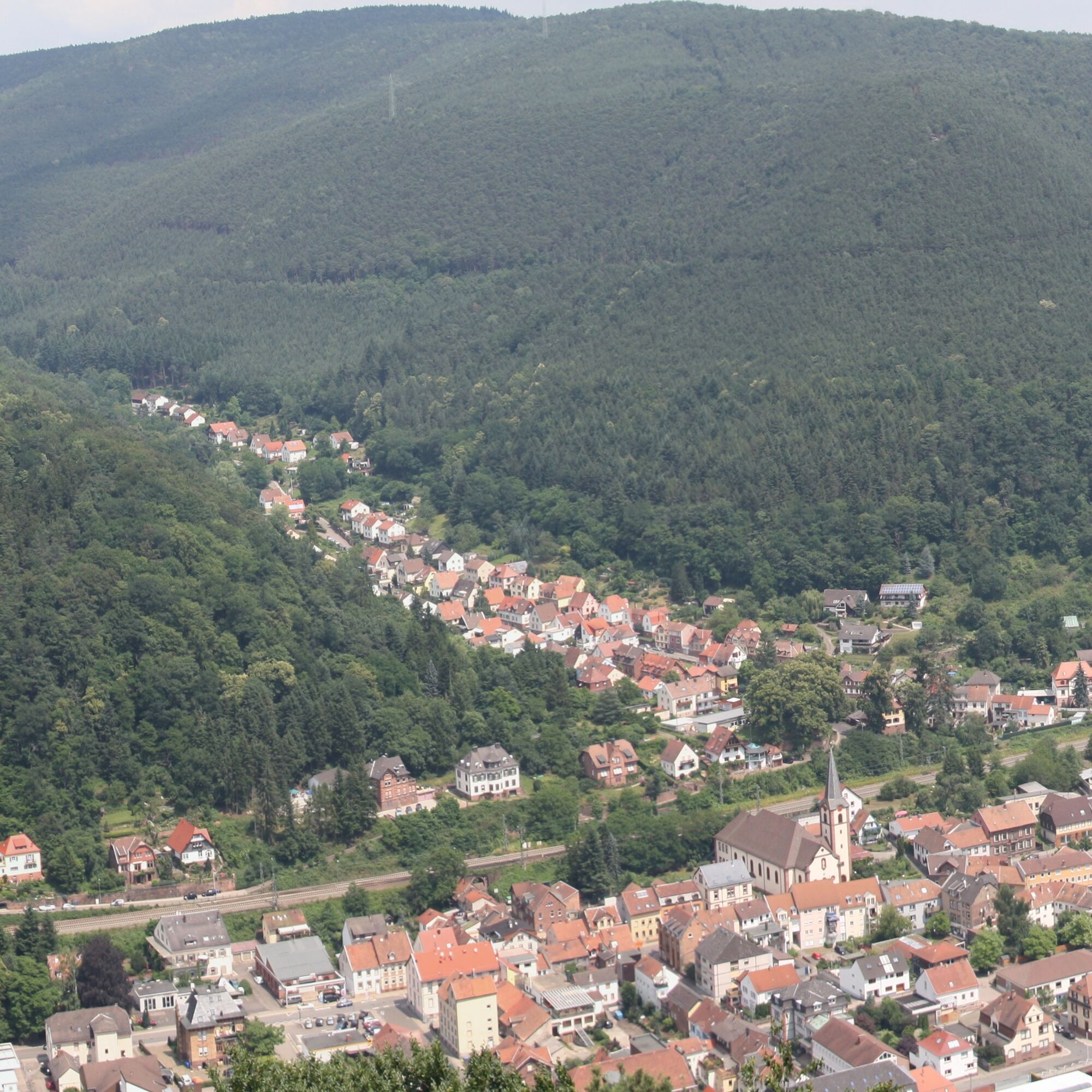
The tour starts at Lambrecht (Pfalz) train station. From there, it goes a bit through the clothmaker town Lambrecht (Pfalz), past Friedrich-Ebert-Platz (where you can still stock up on provisions in a café) and the former monastery church Lambrecht - past Lindenbrunnen - continues towards the cemetery. We hike steadily uphill - a section on the “Path of Virtue”, then leaving it again. At the second driving path we leave the path and turn left, continuing to follow marking 3. After about 1.3 km, we reach the location of the former “Schnarrhahnen Hut 1750” and after a further 1.6 km we reach the “Beautiful View”. This is a good place to rest. After the rest, continue to the “Round Table”. Here you have the possibility to hike a shortened round. A detour to the viewing point “Dicker Stein” is definitely worthwhile. The large outer round is about 11.5 km and the shorter variant about 9.4 km.
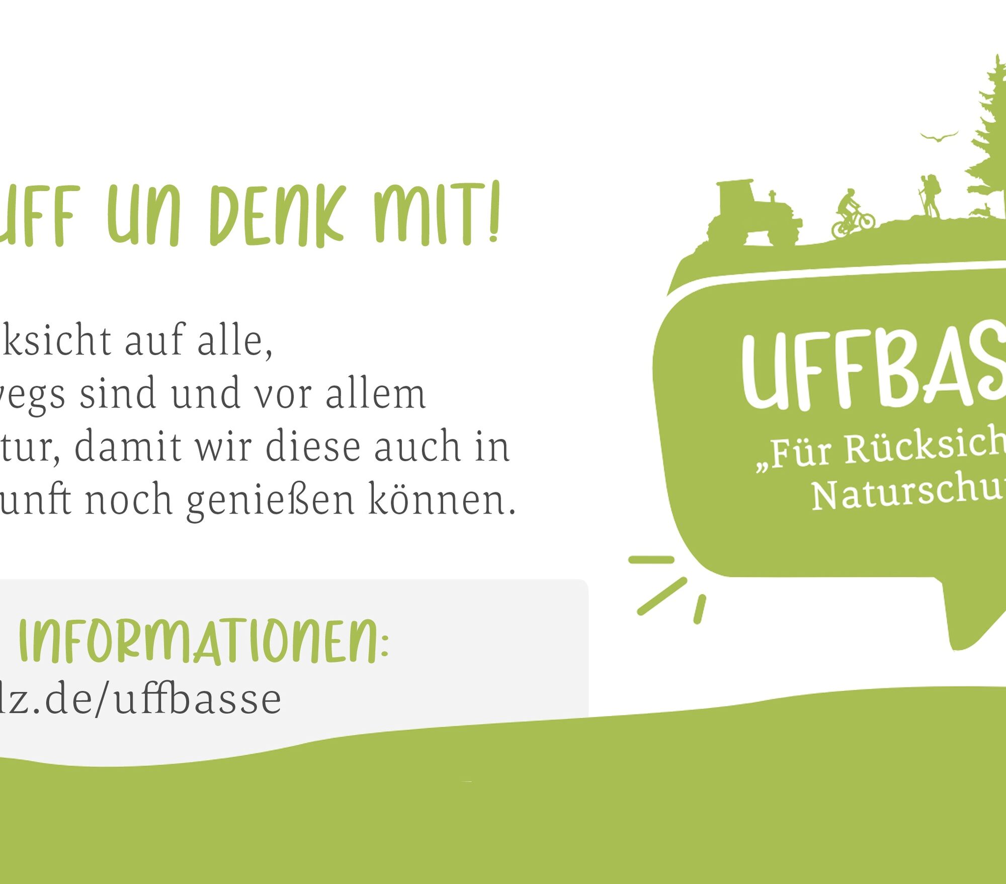
UFFBASSE! - Campaign for a considerate coexistence in nature
Fire & smoking- Making fires, smoking and grilling are strictly forbidden in the forest and must be avoided! Fires and thus great damage to nature and wildlife can only be avoided this way. Be considerate - Always behave foresightedly, friendly and considerately towards everyone you meet on the way. Nature conservation - Stay on designated paths and avoid unnecessary noise when you are in nature. Leave the forest by dusk at the latest to not disturb the rhythm of nocturnal animals. Picnic & waste - Think of a garbage bag for unterwegs and take waste back home. Use only the furnished rest areas for breaks & picnics. Leash dogs - Please keep your dog on a leash at all times. Other visitors and animals will thank you.
More info at www.pfalz.de/uffbasse


The description of the circular hiking trail 3 is given clockwise. Of course, the circular trail can also be walked in the opposite direction.
The circular trail is continuously marked with a black number 3 on a white background (size 12x12 cm).
At trail intersections and forks in the forest, the circular trail is partly marked with white metal signs. In addition to the number 3, the metal signs are also labeled "Forest, Wood, Pride". Other signposts (markings) are painted or stuck on marking carriers in the forest and town (trees, wooden posts, posts of traffic signs and information signs, lighting masts, walls, house walls, etc.). To some extent, the markings of the Palatinate Forest Association (PWV) along the circular trail can be used as orientation aids. This is explicitly pointed out in the description at the relevant points.
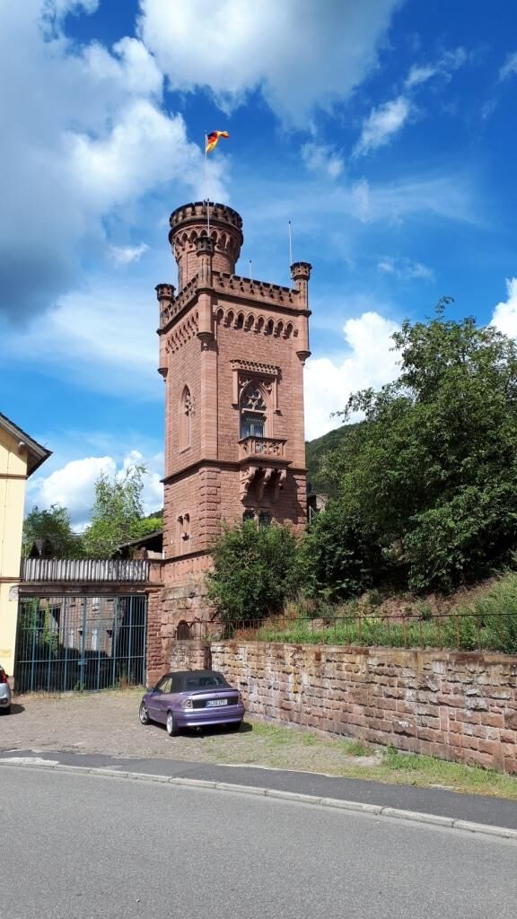
We start at the main entrance in front of the train station building. It goes to the left, past the bus station (bus stops) and the yellow information board of the Palatinate Forest Association. From here we follow the marking number 3. Further orientation aids are the Palatinate Forest markings blue/yellow and blue/red stripe. We walk down Bahnhofstraße. On the right side, we see the “Old Post Tower”. At the end of Bahnhofstraße we reach the main road (B39) and follow it to the right, into the town center, to the pedestrian crossing (traffic light). Cross the main road (B39) and proceed via Herzog-Otto-Platz with the goat fountain, down Schulstraße, past the former elementary school, to Friedrich Ebert Platz. Cross the Speyerbach via Friedrich Ebert Platz and go up Marktstraße, past the monastery church, keeping left on Markstraße towards the cemetery. We pass Lindenbrunnen on the right and finally reach the cemetery. At the end of Marktstraße (turnaround), we leave the paved road and come onto the forest path (driving path). After a left turn, past the “Michael Stöhr 60th birthday bench”, we turn sharply right and after about 80 meters sharply left again onto a path. From here, the blue/red stripe marking serves as our orientation aid. Past Hermann Schneid Fountain and on the “Path of Virtues” we go over the next driving path and continue on the path. At the next driving path we leave the path and turn left, thus also leaving the blue/red stripe marking and now follow the circular trail marking 3. We hike on the driving path first a few meters slightly downhill, then level eastwards, about 1.3 kilometers. At “Kuntze Kehr” (sharp right curve) we reach the site of the former “Schnarrhahnen Hut 1750” (yellow info sign slightly off the driving path, directly at the curve). A few meters behind is a Bavarian level stone.
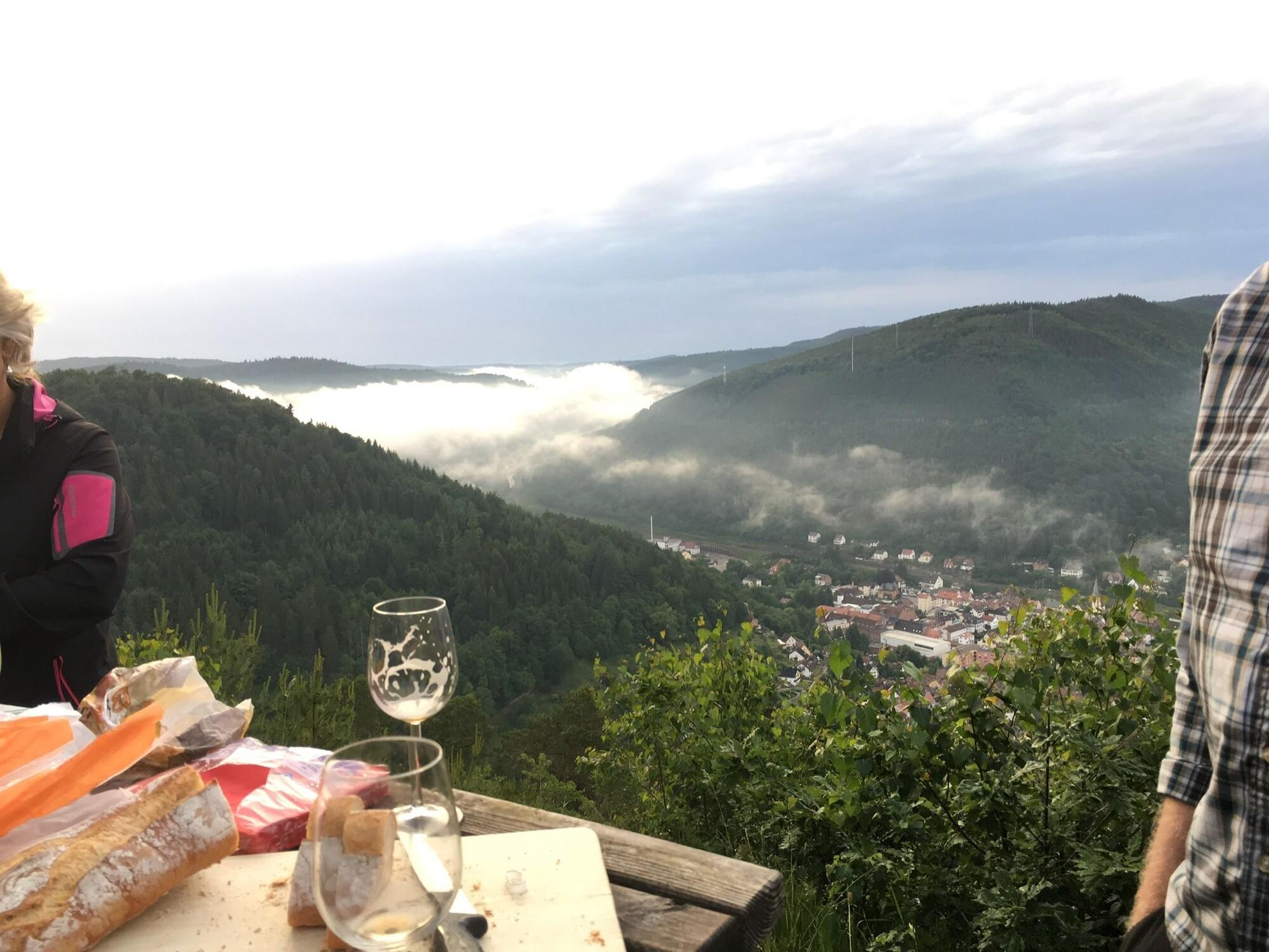
After the curve, continue straight on the driving path, always following marking 3. At a fork, keep right (marking 3), pass Nonnenboll, the “Stadter Bank” and finally reach the viewpoint “Beautiful View” (Wildsaukopf), about 1.6 kilometers. Here a long rest is possible. Continue following marking 3 on the driving path to the “Round Table”, about 1.1 kilometers.
From here, there is the possibility to take a shortened version of circular trail 3 or make a detour to the viewing tower “Dicker Stein”.
Note!!!!! The detour to the viewing tower “Dicker Stein” is definitely worth it. Wonderful view of Lambrecht.
Shortly after the “Round Table”, we turn sharply right (marking 3, blue/yellow stripe marking also serves as a further orientation aid) and after about 100 meters turn left again, towards the viewing tower “Dicker Stein”. We walk on the driving path to the “Stone of Movement”. To the right of the stone, we go down the natural sandstone steps (caution!!!!! steep and slippery when wet) and reach the wooden viewing tower “Dicker Stein”.
Those who want to walk the long circular trail 3 return the same way to the “Round Table” and then continue westwards following marking 3, see further **.
Short round:
Otherwise, from the viewing tower “Dicker Stein”, follow the path marked 3 downhill, again the blue/yellow stripe marking serves as an orientation aid, until you reach the driving path. Follow the driving path left about 250 meters and then turn sharply right onto a path (caution!!!!! the turn can be easily overlooked). Follow the path until you reach a driving path again. Here keep right and reach the cemetery on marking 3 (orientation aid blue/yellow stripe marking). From the cemetery, take the path described at the beginning of the circular trail back through the town to the starting point at the train station.
Further long round **:
From the “Round Table”, follow the driving path westward, marking 3. First slightly uphill, then steadily slightly downhill until you reach a hairpin bend, about 1.7 kilometers. Here turn sharply right and continue downhill on the driving path, past the former festival ground, now a wood storage area, pass on the left the grounds of the Lambrecht shooting club and finally reach Beerentalstraße (turnaround). Here keep right immediately and walk on the forest path (driving path) following marking 3, behind the houses of Beerentalstraße or the street “Am Dicken Stein”, to the cemetery. From the cemetery, take the path described at the beginning of the circular trail back through the town to the starting point at the station.
Those who want to walk the circular trail 3 counterclockwise follow over the cemetery not the blue/red stripe marking on the path, but stay on the driving path straight ahead and orient themselves to the blue/yellow stripe marking and circular trail marking 3. Of course, it is also possible here to walk a short and a long version of the circular trail. For the short version, continue to orient yourself to the blue/yellow stripe marking. At the left turn in a slight left curve, leave the driving path to a path leading up to the viewing tower “Dicker Stein”. Further route and continuation of the circular trail as described above. In the longer version, leave the blue/yellow stripe marking and follow only the marking 3 on the driving path and reach Beerentalstraße (turnaround) and continue the circular trail as described above in the opposite direction.
A few more tips:
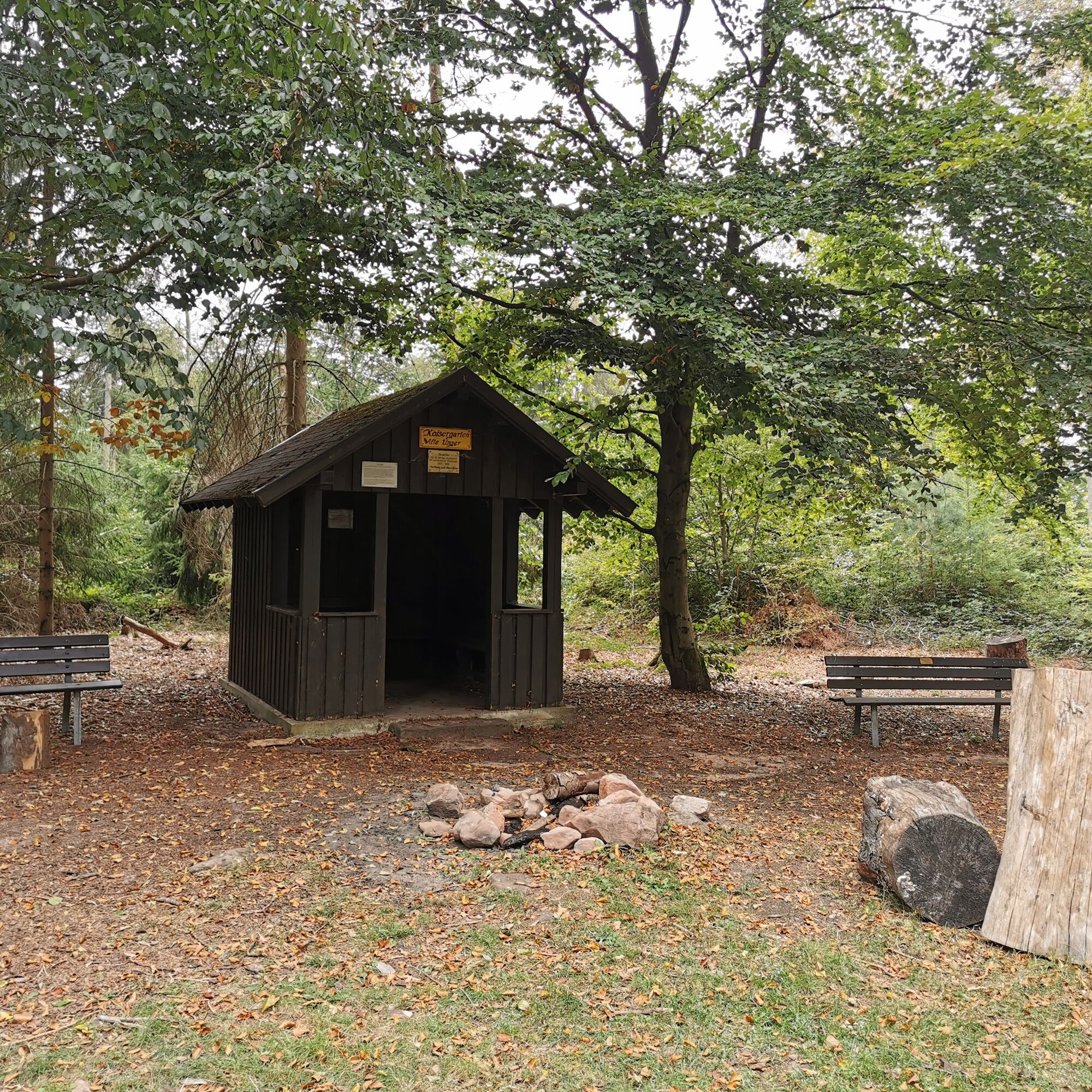
Another nice variation is to combine circular trail 3 with the themed trail “Views of the Cloth Makers”. Starting from the cemetery, walk circular trail 3 clockwise as described above to “Beautiful View”. From here follow the marking of the themed trail “Views of the Cloth Makers” up to the viewpoint at the transmission mast, continue at the “Table” (Bodenfels slightly off the path) and at the “Martins Lag” Bodenfels in a right curve where a path from the left leads onto the driving path, past the Kaisergarten. From here you have the possibility to follow the Palatinate Forest Association marking blue/yellow stripe southwards (Hellerhütte) for about 250 meters to Breite Loog. Otherwise, one can also take a detour to the “Old Unger” near the shelter at Kaisergarten. From Kaisergarten, follow the path again with marking “Views of the Cloth Makers” or the Palatinate Forest Association marking blue/yellow stripe downhill to the “Round Table”. From here, continue following the marking of circular trail 3 and further blue/yellow stripe to the viewing tower “Dicker Stein” and further downhill until we meet the Palatinate Forest Association marking blue/red stripe above the cemetery. Here turn sharply left onto a narrow path marked with the themed trail “Views of the Cloth Makers”. The narrow path runs behind the cemetery, west side, to the Peace Path. On the Peace Path, we continue downhill, cross the orchard meadow “Am Beutelstein” and finally reach Grabenstraße. From there go down to Marktstraße (Protestant monastery church) and from there to the starting point at Lambrecht station.
Áno
For our hiking tours, we recommend the following standard equipment:
Sturdy footwear Weather-appropriate clothing Sun and rain protection A sufficient supply of food and drinks, as there are not always refreshment or shopping opportunities available or open. Even if the paths are continuously very well marked, it is advisable for safety reasons to always carry a suitable hiking map, so that in case of thunderstorm or emergency, you can quickly find a safe area.
Partially narrow paths and steep descents - sturdy footwear is recommended
Hiking on natural paths and trails - Especially in autumn, note that fallen leaves on the ground can conceal unevenness, roots, stones, or holes in the path. After thunderstorms or heavy rainstorms, trees can still fall or branches fall down afterwards. Especially in adverse weather conditions, natural paths can have muddy and slippery passages. Not all rocks or cliffs are secured with ropes or railings. Sure-footedness is required in parts. You must expect such trail impairments when hiking. If you believe certain sections are impassable for you, you should avoid them. Despite the “unmissable” marking of premium hiking trails, we recommend always carrying a suitable hiking map for safety reasons so that you can quickly find a safe area in case of thunderstorm or emergency. Trail closures and detours must be observed.
Danger situations - In case of an emergency, quick help is essential. And even if mobile phones can send GPS signals, classic rescue points are often the fastest. These are located in places easily accessible for rescue vehicles. Remember the points with green signs and a white cross. In an emergency, return there and give the number on the sign when calling for help. This way, rescue workers will know where to find you.
Coming from the A65, take exit 13 - Neustadt a.d.W. South, then follow B39 to Lambrecht (Pfalz).
Coming from the A6, take exit Enkenbach-Alsenborn - then follow B48 towards Fischbach/Hochspeyer - continue on B37 towards Bad Dürkheim - then in Frankenstein follow B39 towards Neustadt an der Weinstraße to Lambrecht (Pfalz).
Well accessible with the VRN
For travelers arriving by car, there is the possibility to park directly at the Lambrecht (Pfalz) train station. In addition, there are enough parking spaces at the lot near Tuchmacherplatz (corner Fabrikstraße/Wiesenstraße, opposite the TSV Lambrecht sports grounds). Those arriving environmentally consciously with their electric car have the option at Tuchmacherplatz to charge at an E-mobility charging station “Saft”. The Stadtwerke Lambrecht installed the charging station for electric and hybrid cars at Tuchmacherplatz. Another charging station is located at the parking lot by the “Stadtcafe” next to the Volksbank. Each charging station can charge 2 cars simultaneously.
Please park only in the designated parking spaces and always keep access routes for emergency vehicles and work paths in the forest and vineyards clear.
For overnight stays in camper & caravan, there are explicitly designated motorhome parking spaces.
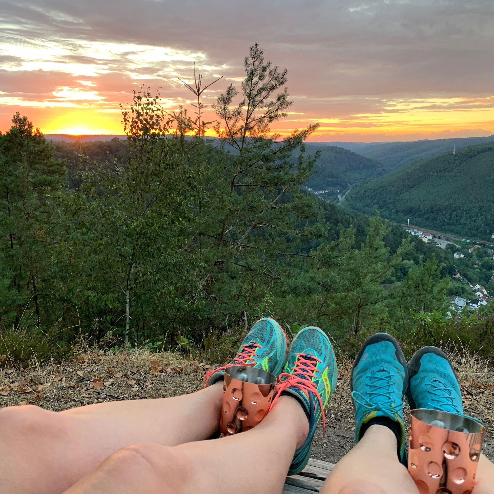
Enjoy a long rest at "Beautiful View" – with wave loungers and a standing table. Also a climb to the viewing tower "Dicker Stein".
Webové kamery z prehliadky
Obľúbené výlety v okolí
-
3,6
Ganerbenweg - Premium circular hiking route in the Freinsheim holiday region
strednáTuristika 10,5 km -
Wachenheim - Eckkopf - Heidenlöcher - Wachenheim
strednáTuristika 12,8 km -
5,0
Palatinate Hut Route
ťažkéTuristika 18,5 km -
4,3
From wide view to wide view
strednáTuristika 9,72 km -
Ramberg - Drei Burgen Weg
strednáTuristika 17,2 km -
3,5
Leininger Monastery Trail - Premium hiking trail with audio and video stations
strednáTuristika 15,3 km -
4,7
Ganerbenweg interactive - Premium hiking with audio and video stations
strednáTuristika 10,5 km -
5,0
Wachenheimer Valleys Route to Oppauer Haus
strednáTuristika 11,7 km -
Palatinate Wine Steig Stage 03 Bad Dürkheim - Deidesheim
strednádiaľková pešia trasa 15,2 km -
Palatinate Wine Route stage 05 Neustadt a. d. Weinstraße - St. Martin
ťažkédiaľková pešia trasa 19,8 km
Turistika a stopovanie


Nenechajte si ujsť ponuky a inšpiráciu na ďalšiu dovolenku
Vaša e-mailová adresa bol pridaný do poštového zoznamu.