







Wachenheimer Valleys Route to Oppauer Haus
From the wine and sparkling wine town of Wachenheim, on the German Wine Route, you enter the heart of the UNESCO Biosphere Reserve Palatinate Forest. Particularly nice: in the summer months, the Palatinate...
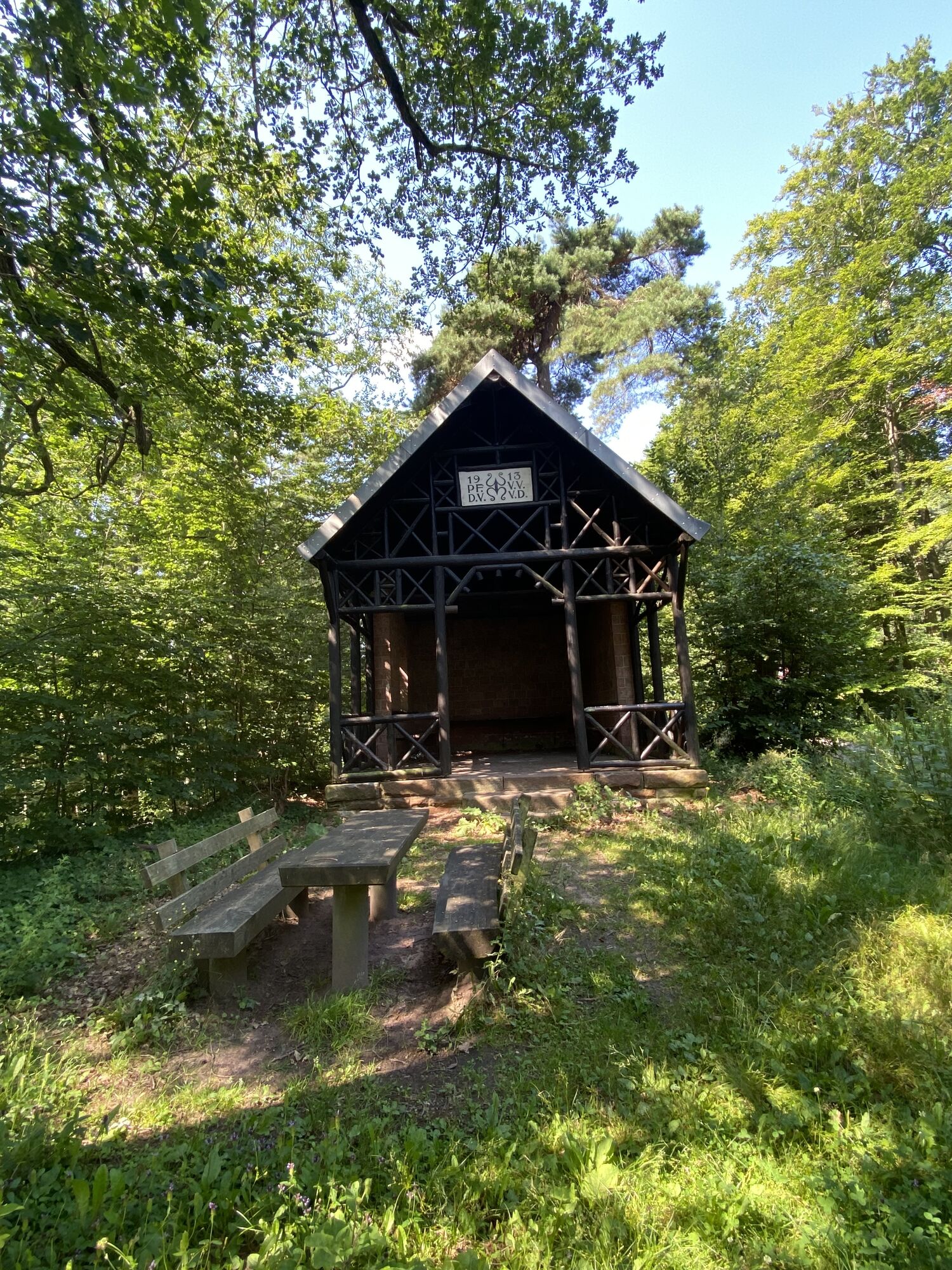
From the wine and sparkling wine town of Wachenheim, on the German Wine Route, you enter the heart of the UNESCO Biosphere Reserve Palatinate Forest. Particularly nice: in the summer months, the Palatinate Forest refreshes with a welcome coolness. For a break, the Naturfreundehaus "Oppauer Haus" in the Palatinate Forest (with overnight accommodation) is ideal, but there are also some other options for a picnic. To finish, you can make a detour to Wachtenburg Castle and enjoy the 360-degree view of the Palatinate wine region, the Rhine Plain, and the Palatinate Forest. Another option is to visit the Wachenheim sparkling wine estate, try a sparkling wine, or simply enjoy the atmosphere in the small wine town.

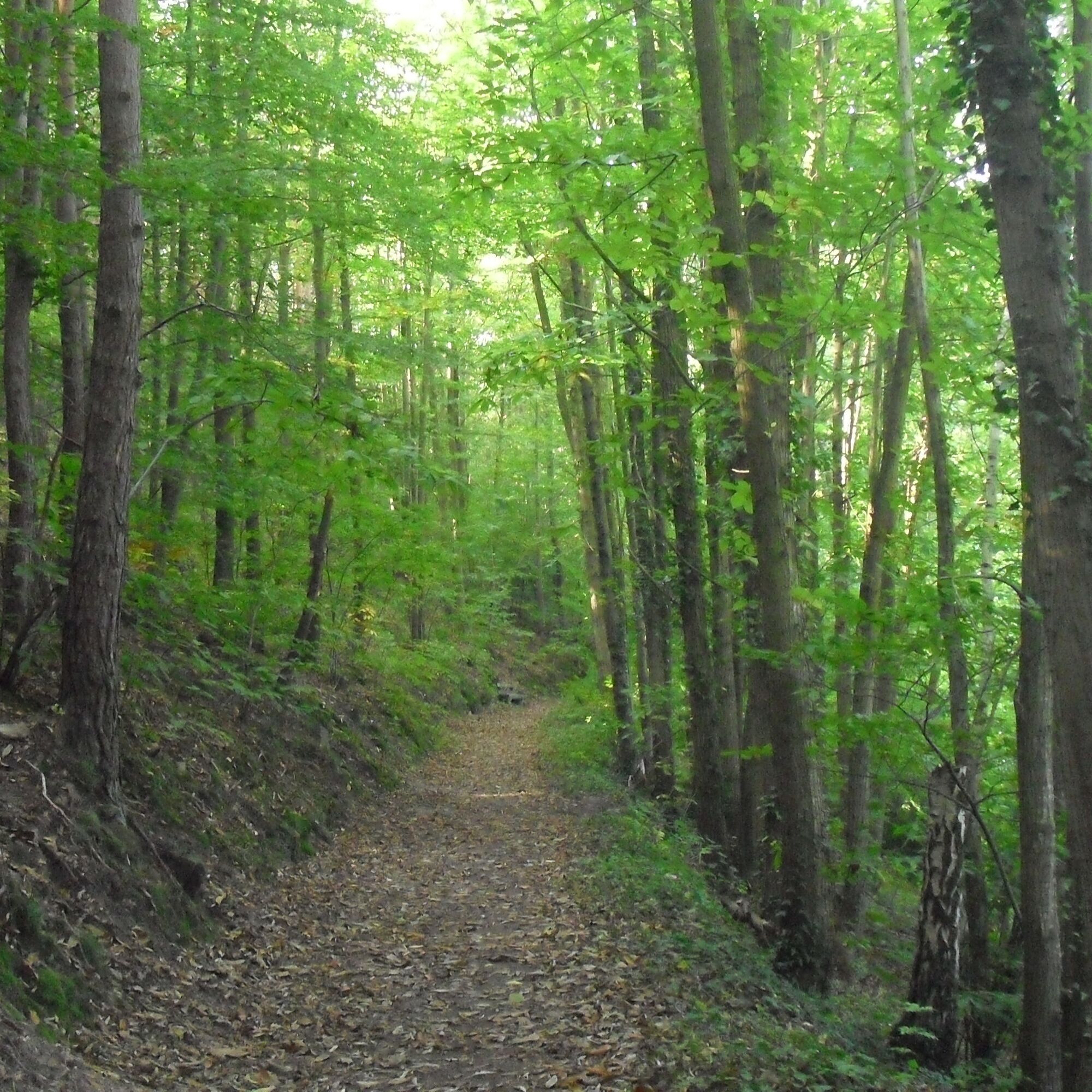
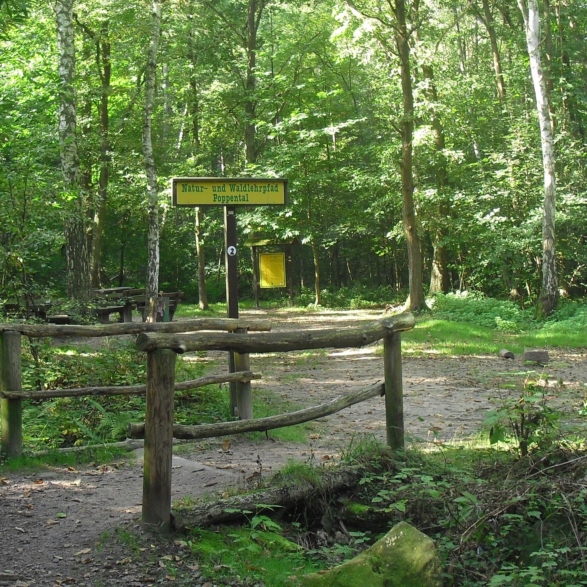
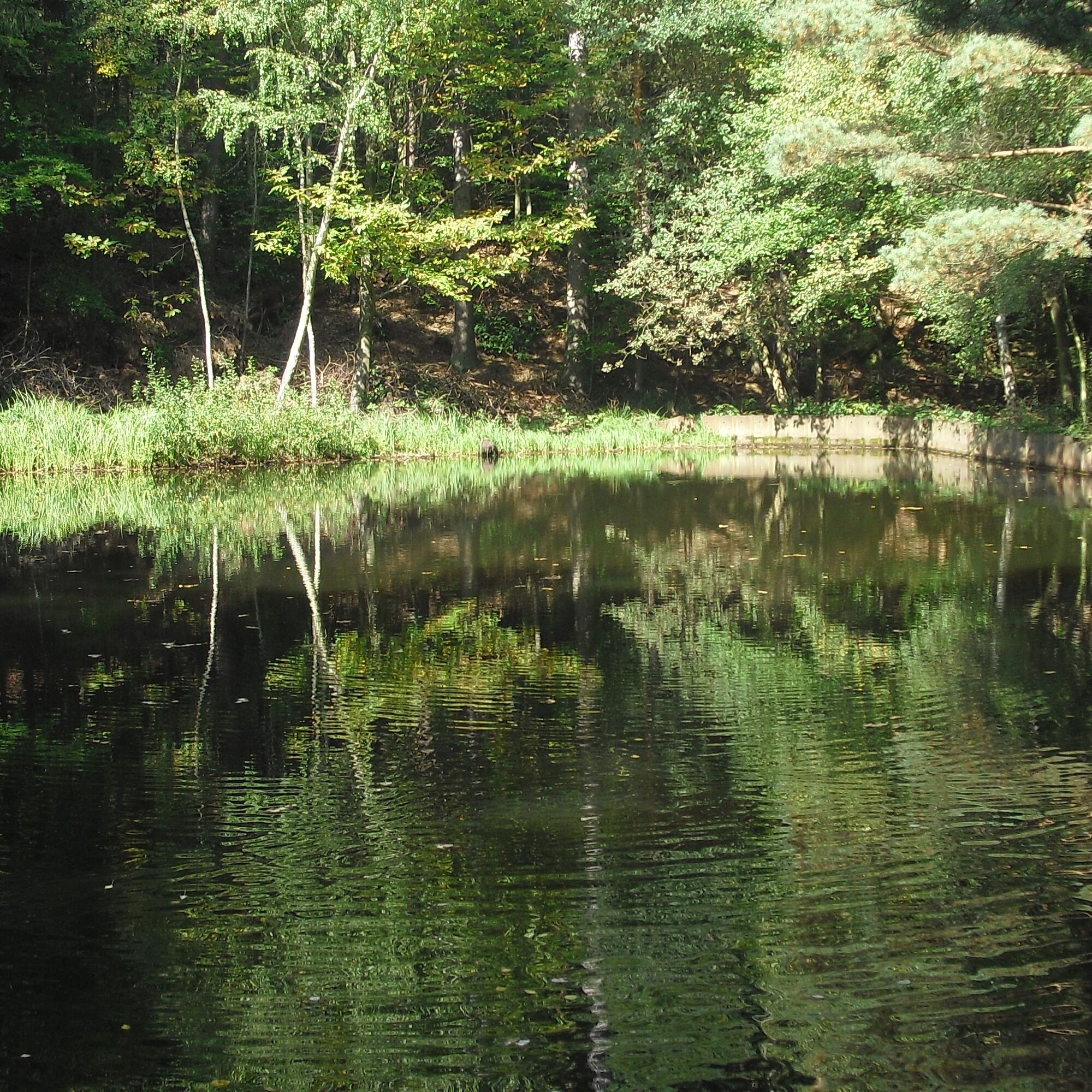
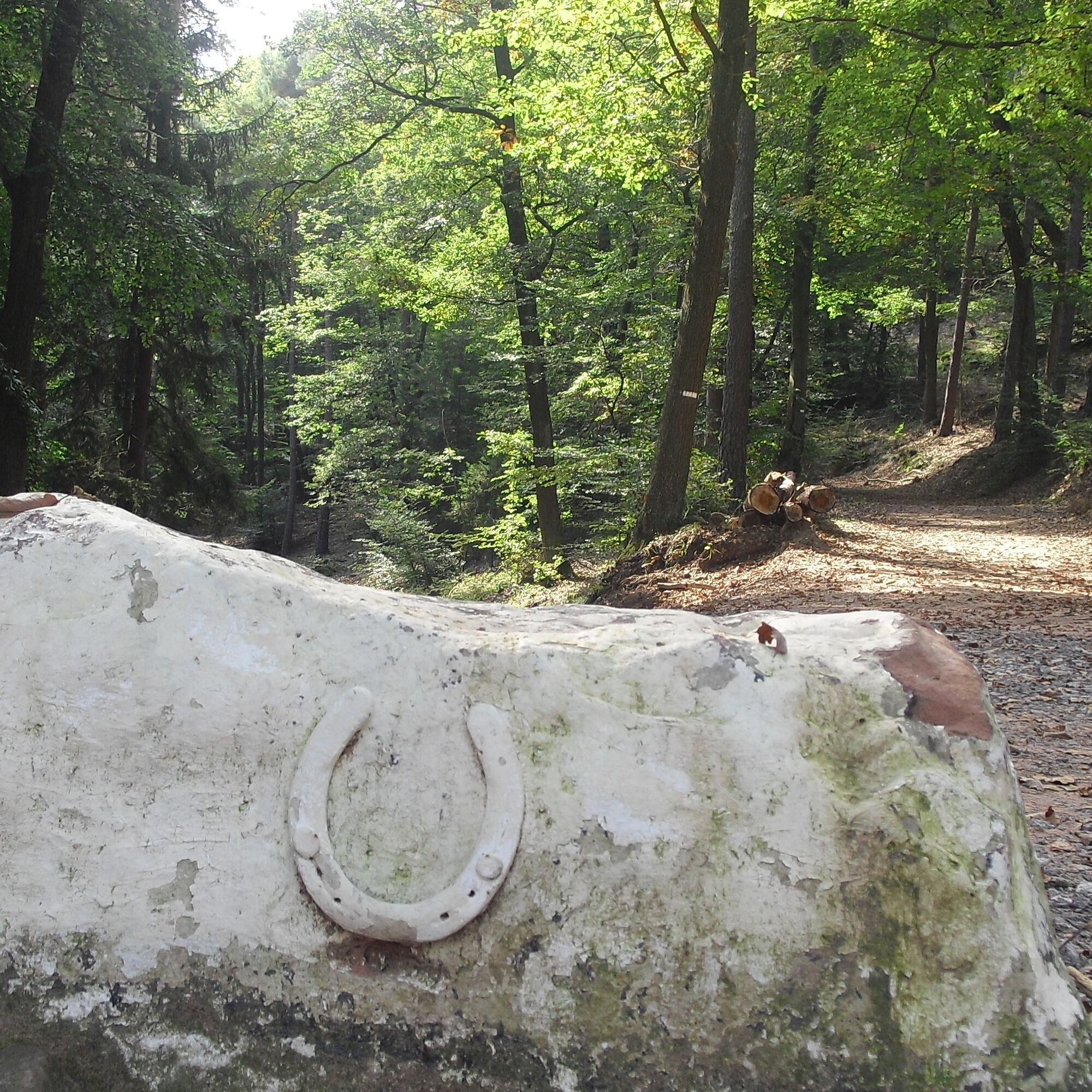
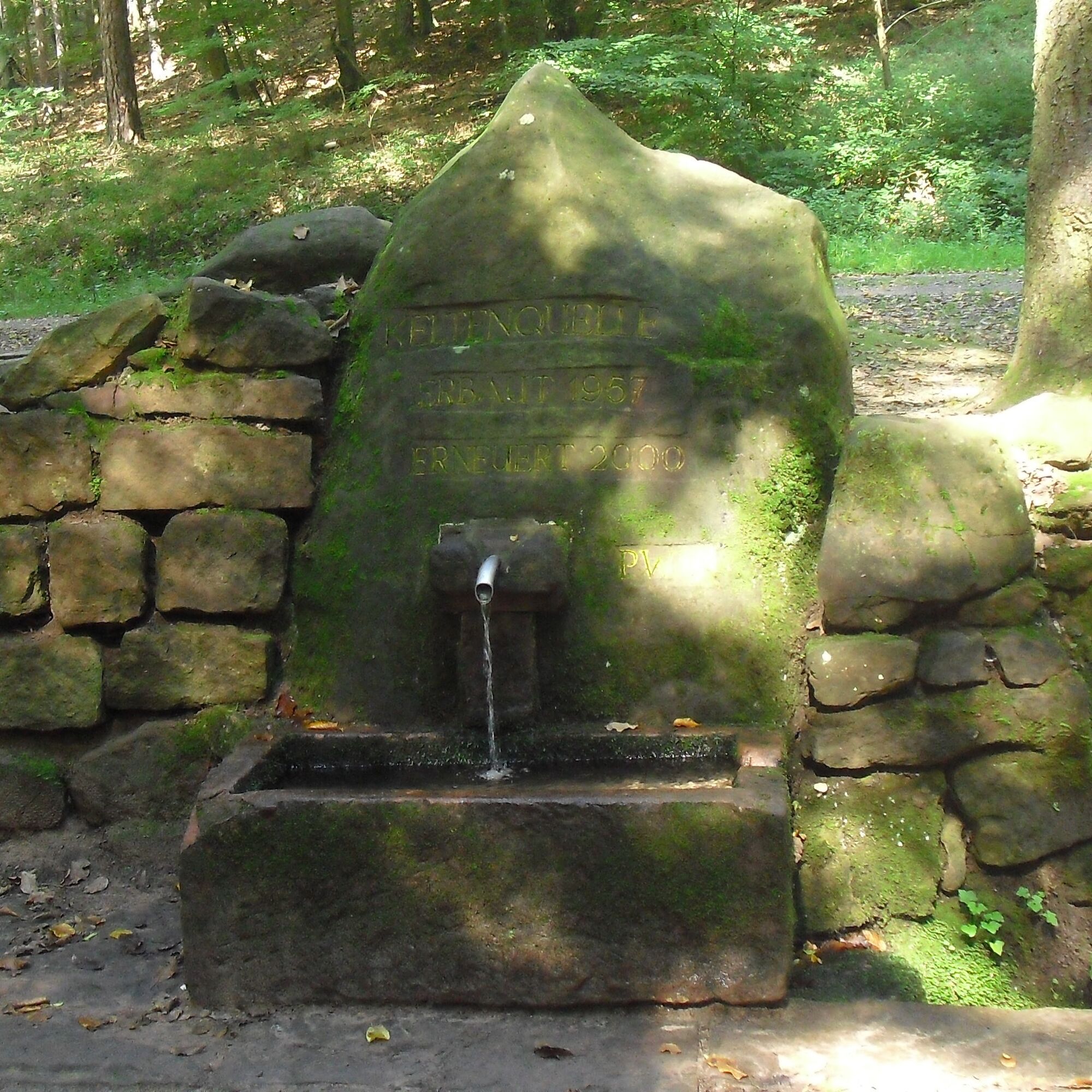

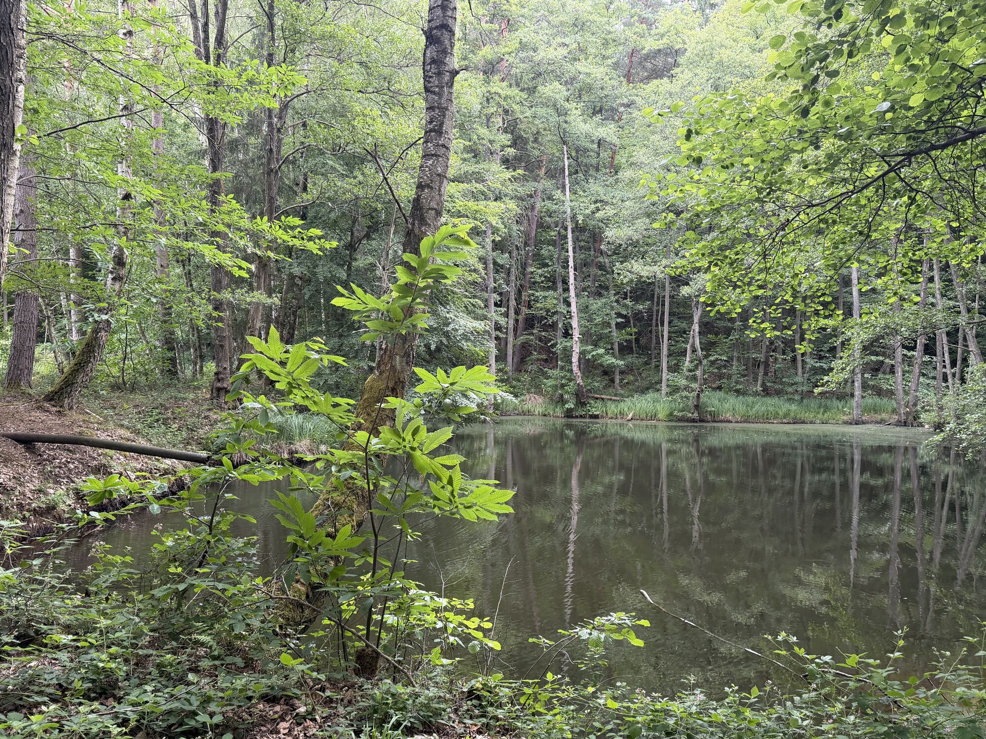
We start on Burgstraße and after about 300 m turn left into a side street. After another approximately 200 m we cross Waldstraße and follow the marking (yellow/red rectangle) into Bornweg, then cross Mittelbergstraße to turn left again after about 150 m. From here we walk westward, pass a fork, and shortly afterwards turn left onto a forest path. We follow the path, leaving the town, and finally reach the idyllic Poppental valley. After about 900 m, at the end of this path, it goes briefly left and then right again into another path (always yellow/red rectangle), gently ascending along a stream. After about 1500 m we reach the Celtic spring and after another approx. 1000 m cross a forest road to the right and reach the forest parking lot "Drei Eichen" via a steep ascending path. About 100 m before the parking lot we come across the path with the marking white rectangle with black dot and follow it down the valley again. Shortly after we reach an idyllic pond, pass it on the left side and leave the valley via a steep ascending, root-covered path.
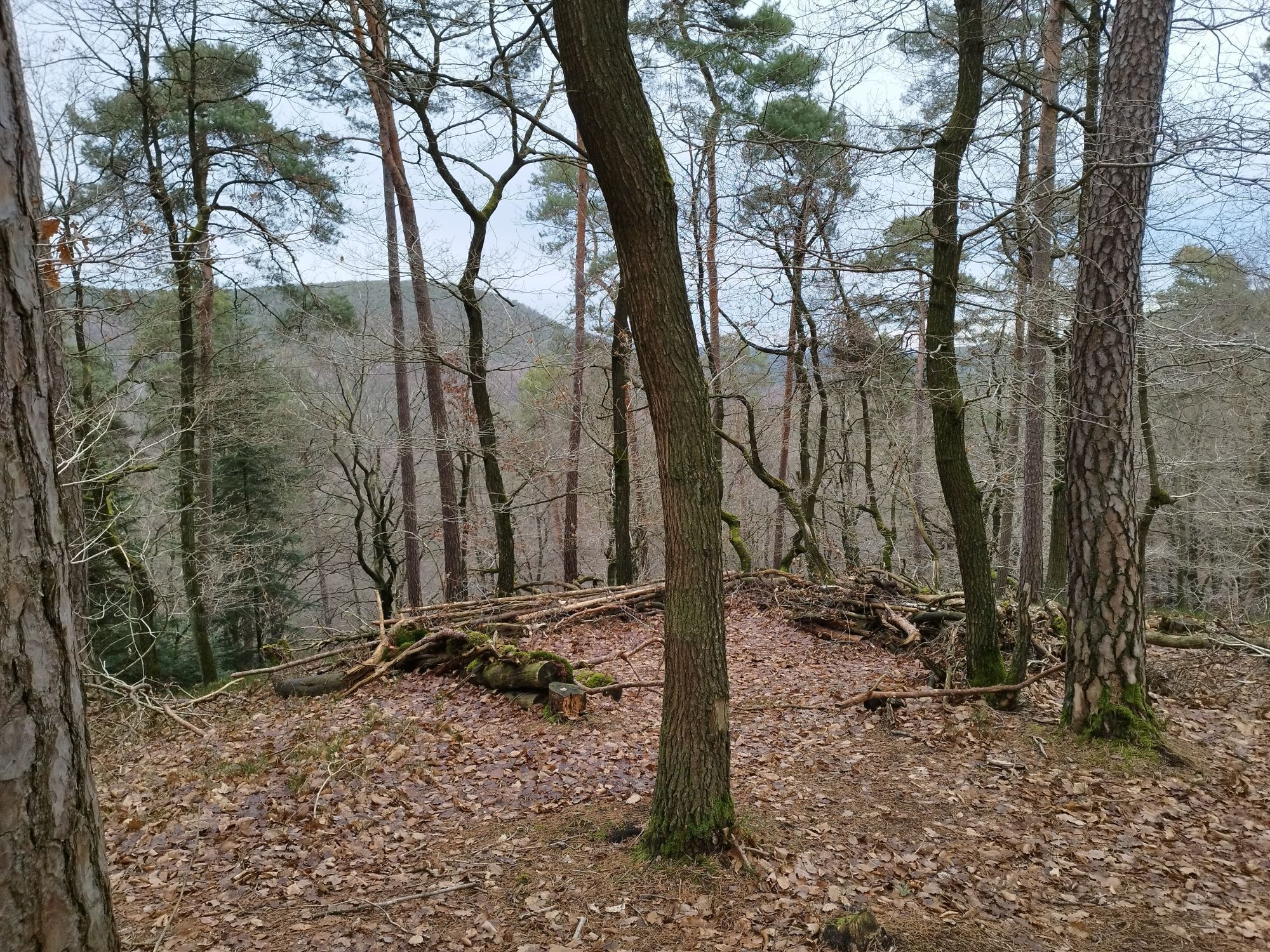
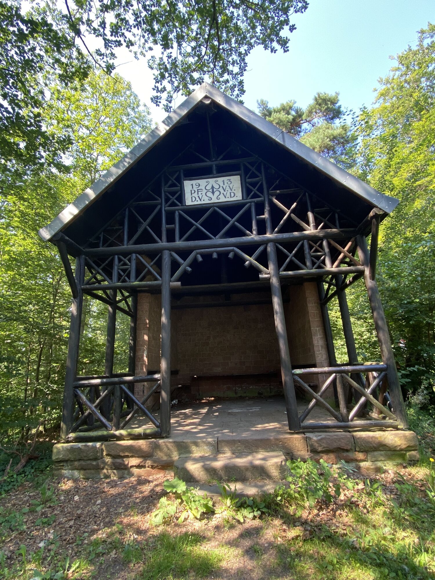
After about 1000 m we reach the highest point, the "White Stone" and now follow the marking white/black rectangle towards the "Oppauer Haus." After about 10 minutes of steep descent, we reach the Naturfreundehaus "Oppauer Haus" with affordable and hearty Palatinate cuisine.
On the way back, follow the farm road down the valley to county road 16, which we cross. Here we come across the marking yellow rectangle, keep left and walk steadily with a slight downhill slope through the "Wachenheim Valley." After about 3000 m we reach a parking lot by the county road. We cross the parking lot and the road to get back into the forest opposite, where we follow the path marked with a yellow rectangle. Parallel to the county road, we pass the campsite, tennis courts, and a small pond, and soon reach Wachenheim again, where we continue following the yellow rectangle marking. Below the Wachtenburg castle ruins, we now enter the town towards the church, where several cafes invite you to take a break. Via Bornweg we reach Burgstraße and shortly after arrive at our destination, the parking lot on Burgstraße.
Sturdy footwear, weatherproof clothing
Via the A650 to the Friedelsheim exit, then continue on the L527 and L525 to the center of Wachenheim.
By train to Neustadt/Böbig, from there by regional train to Wachenheim.
Directly at the starting point at the parking lot on Burgstraße.
Wachenheim Tourist Information
Weinstraße 15
67157 Wachenheim
Tel: 0 63 22 / 95 80 -801
Fax: 0 63 22 / 95 80 - 899
Mail: touristinfo@vg-wachenheim.de
On the meadow stream and barefoot path laid out by the Palatinate Forest Association in the front part of the Poppental valley, we can go on a sensory discovery tour.

Obľúbené výlety v okolí
-
4,0
Ganerbenweg - Premium circular hiking route in the Freinsheim holiday region
strednáTuristika 10,5 km -
4,5
From Deidesheim over the Heidenlöcher to Eckkopf
strednáTuristika 14,6 km -
Wachenheim - Eckkopf - Heidenlöcher - Wachenheim
strednáTuristika 12,8 km -
5,0
Circular route through forest and vineyard: Weisenheim am Berg - "Wine, Forest, Ungeheuer"
strednáTuristika 12,5 km -
4,8
Zum Saupferch - Jägerthal - Drachenfels - Lambertskreuz
strednáTuristika 10,1 km -
4,5
Vom Hambacher Schloss auf die Kalmit
strednáTuristika 11,3 km -
5,0
Palatinate Wine Route stage 05 Neustadt a. d. Weinstraße - St. Martin
ťažkédiaľková pešia trasa 19,8 km -
5,0
Leininger Castle Trail - Premium hiking trail with audio and video stations
ťažkéTuristika 22,3 km -
4,0
Thomas‘ Waldweinstube über die Wachtenburg
svetloTuristika 4,81 km -
3,5
Leininger Monastery Trail - Premium hiking trail with audio and video stations
strednáTuristika 15,3 km
Turistika a stopovanie


Nenechajte si ujsť ponuky a inšpiráciu na ďalšiu dovolenku
Vaša e-mailová adresa bol pridaný do poštového zoznamu.





