


Circular route through forest and vineyard: Weisenheim am Berg - "Wine, Forest, Ungeheuer"
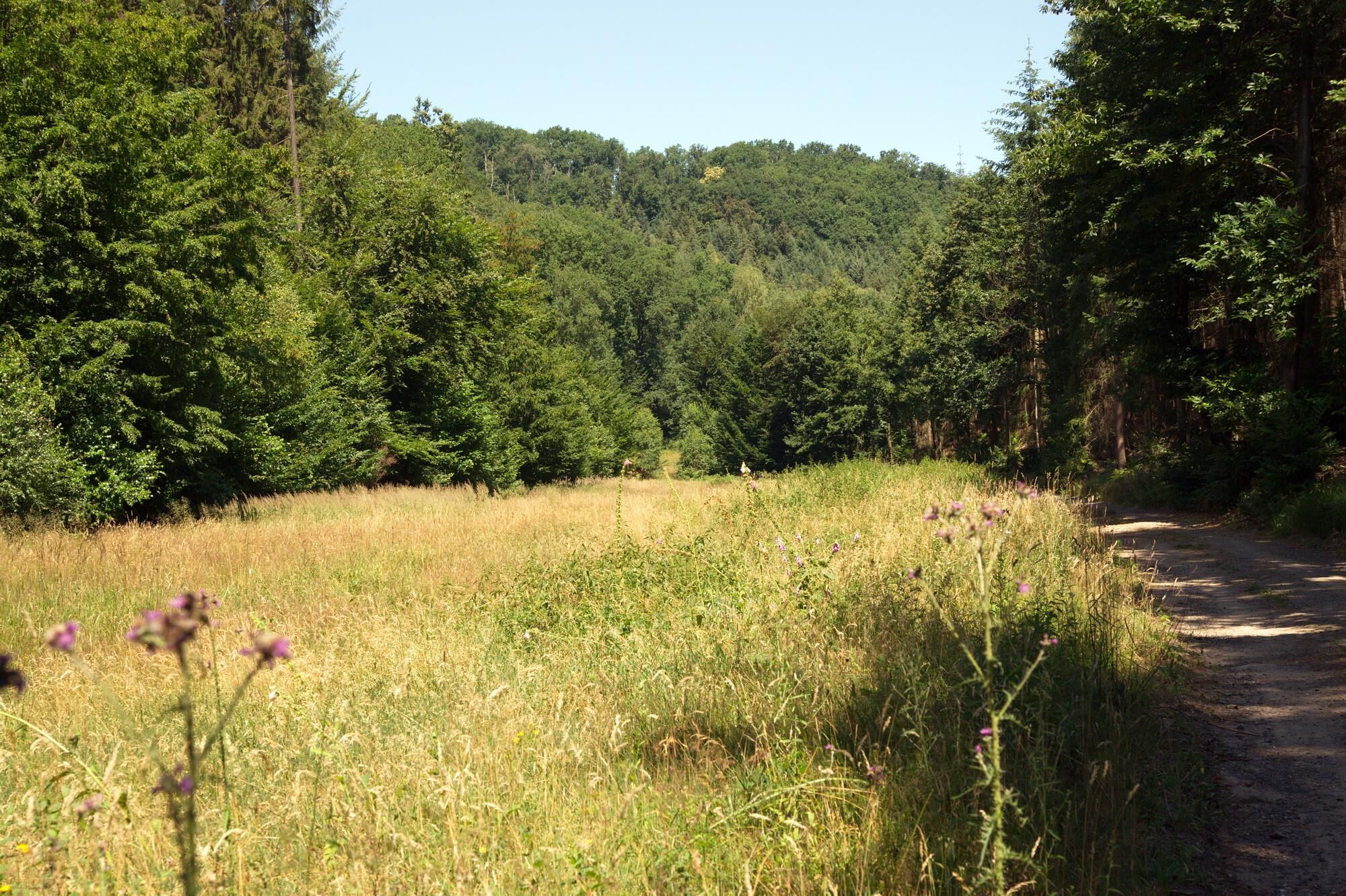
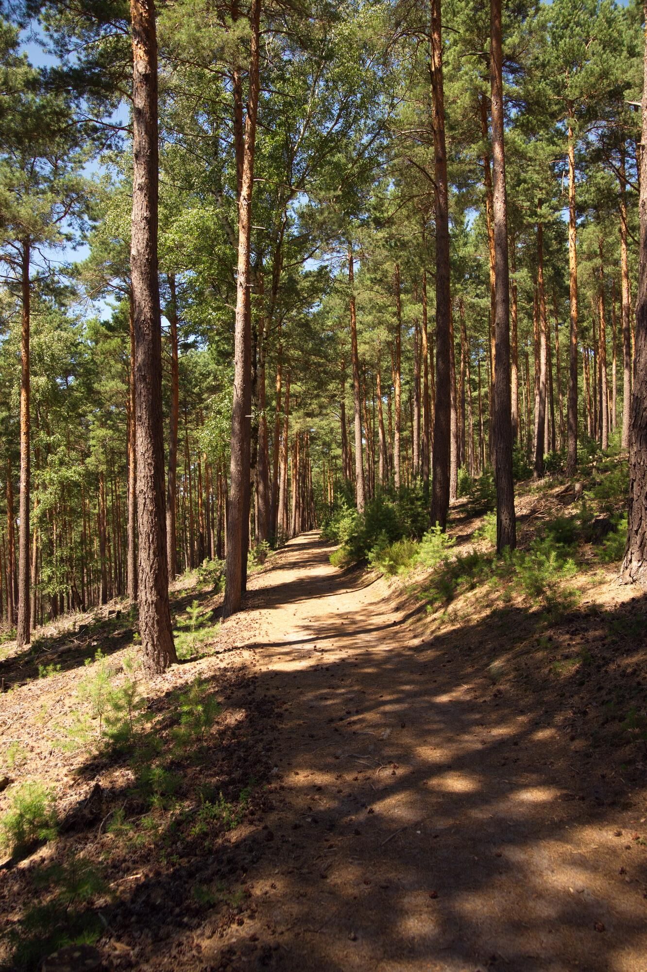
The first two kilometers through the vineyards are very flat, then in the forest up to just after the Ungeheuersee pleasantly but steadily ascending on well-developed forest paths.
The route is not uniformly...
The first two kilometers through the vineyards are very flat, then in the forest up to just after the Ungeheuersee pleasantly but steadily ascending on well-developed forest paths.
The route is not uniformly signposted, please follow the route description.

The starting point of our hike is the village square on the main street in Weisenheim am Berg. You pass the Catholic church and then turn right into Bobenheimer Street. You leave the village to the left and after the last house turn left and take the next path to the right to Bobenheim am Berg. You reach Leininger Street in Bobenheim via Diebspfad. Here you go right and then turn left into Friedhofstraße (a few steps further down Leininger Street you can make a detour to the winemaker's fountain and the bakehouse). You go across Friedhofstraße and continue straight over the mountain path through Bobenheim, turn left after the playground and then immediately leave again to the right via the path "Am Krummbach" to the north out of the village and reach the Krummbach parking lot.
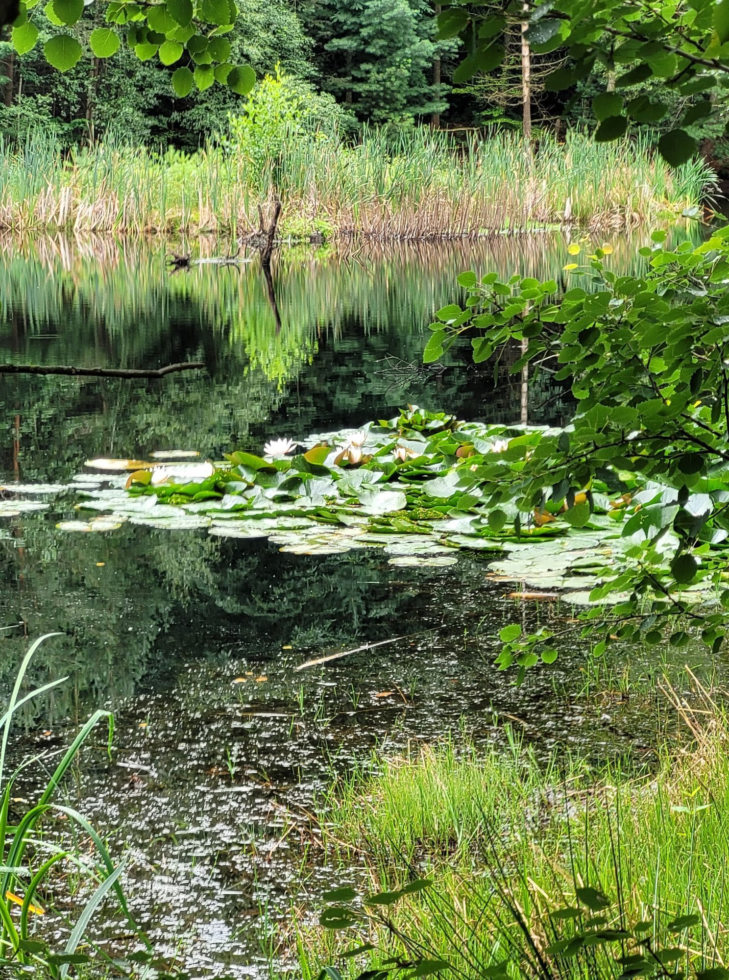
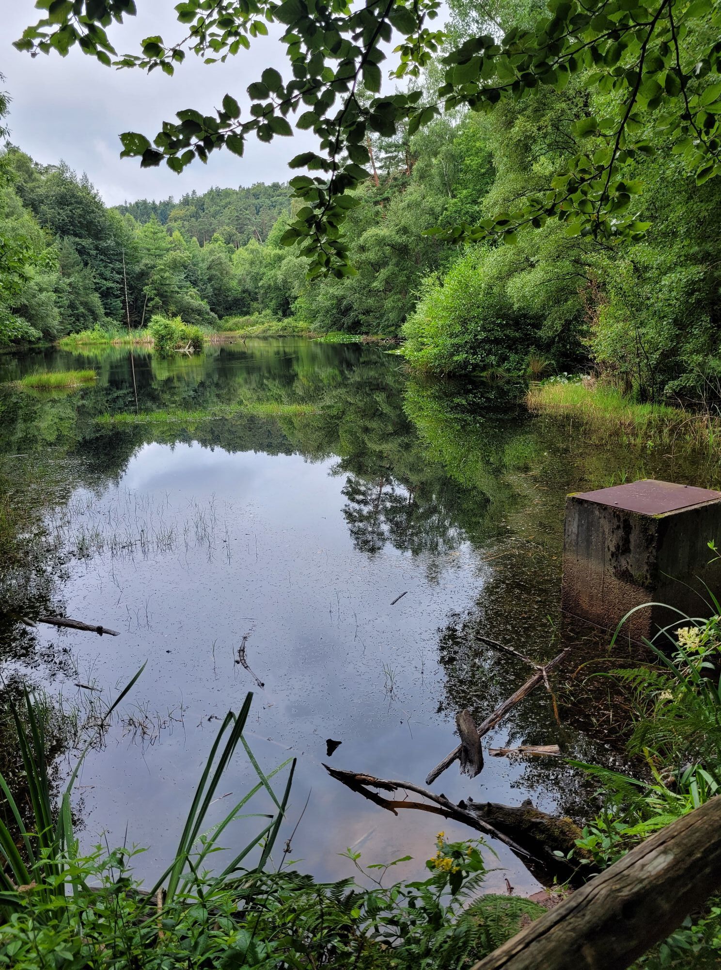
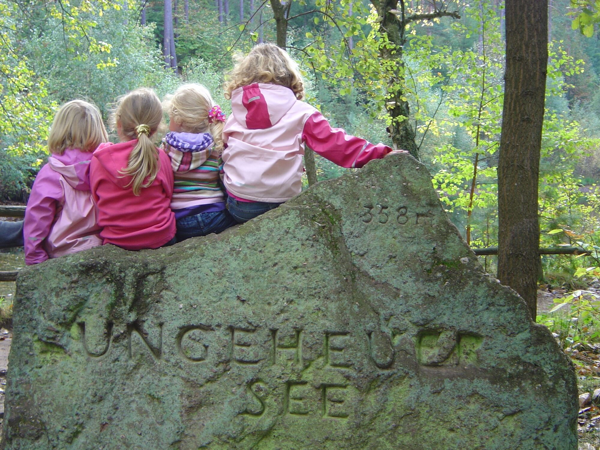
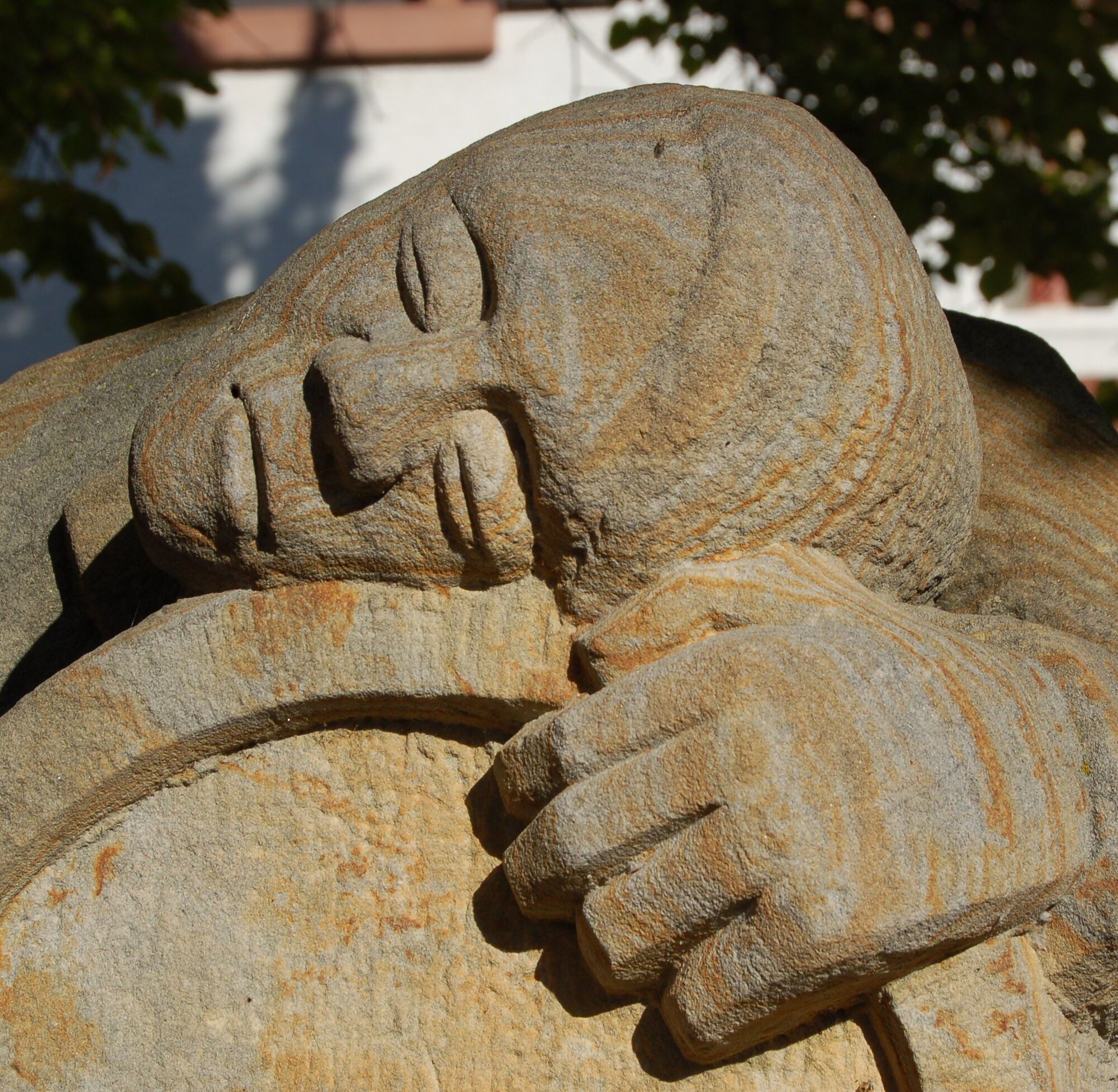
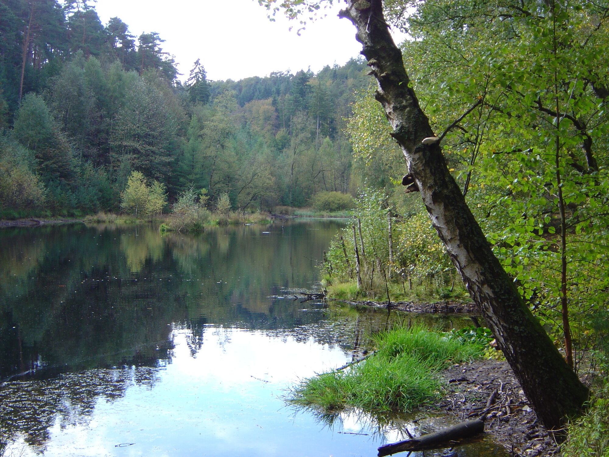
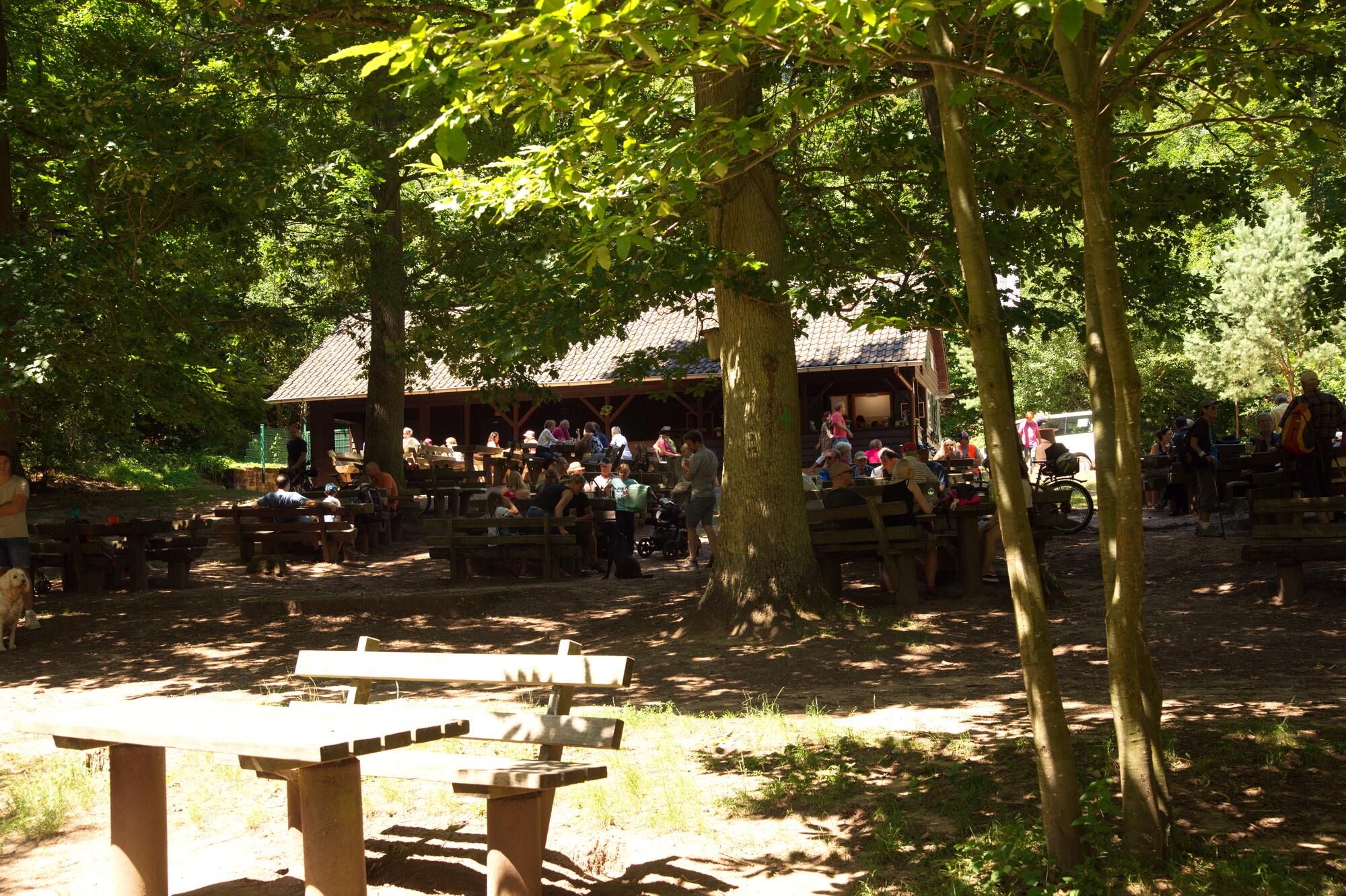
From here follow a well-maintained forest path marked with a white-red bar and finally reach the natural monument Ungeheuersee with a place to eat in the PWV hut (opening hours: see tip). You walk around the lake and then follow the sign "Green Cross" to the village entrance of Weisenheim am Berg. You walk the Sommerbachweg through the green area to Plauser Street, then left and then right into Karl-Gayer Street. You reach Leistadter Street with many places to eat. To the left it goes back to the starting point at the village square.
Áno
Please wear weather-appropriate clothing and good footwear.
In the vineyards, the route runs mainly on unpaved farm tracks. Please give priority to agricultural traffic. The paths can be dirty due to agricultural use.
In the forest, the path runs mostly on unpaved forest ground. Watch out for roots, rocks, and stones so you do not lose your footing.
After rainy days and especially in spring, autumn, and winter the paths can be wet and slippery.
From the north:
via the A61 motorway at the Frankenthal interchange onto the A6 towards Kaiserslautern. Exit Grünstadt/Deutsche Weinstraße. Continue on B271 (German Wine Route) towards Bad Dürkheim, take the exit Weisenheim am Berg from B271 (German Wine Route)
From the south:
via the A61 motorway at the Ludwigshafen interchange onto the A650 towards Bad Dürkheim. At the end of the motorway continue on B37. Pass the Bruch industrial area, at the next traffic light turn right to Ungstein. At the roundabout take the 3rd exit into the village. After about 50 m turn right onto B271 (German Wine Route) towards Grünstadt. At the traffic lights in Herxheim am Berg turn left towards Weisenheim am Berg.
Bus line 453 from the direction of Bad Dürkheim or Grünstadt, stop Weisenheim am Berg - Gemeindehaus
Schedule information: www.vrn.de
Parking lot at the village square in Weisenheim am Berg or follow the parking guidance system.
For further information about route tips, Weisenheim am Berg, and the Freinsheim holiday region, please visit the Tourist Information I-Punkt Kallstadt, phone: 06322/667838 or www.urlaubsregion-freinsheim.de.
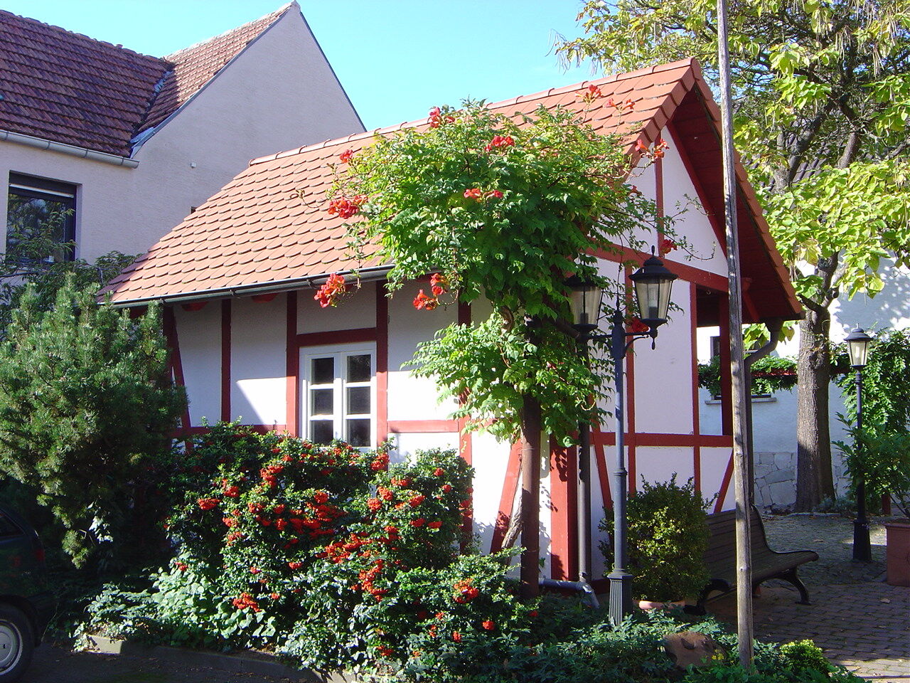
At the end of the route, the diverse Weisenheim gastronomy is available for a stop.
There is a place to eat along the way at the Weisenheim hut at the Ungeheuersee.
Mid-March to the end of October: Sundays and holidays 10 am - 6 pm
From mid-May to the end of October also Wednesdays from 12 pm - 5 pm
Obľúbené výlety v okolí
-
4,0
Ganerbenweg - Premium circular hiking route in the Freinsheim holiday region
strednáTuristika 10,5 km -
4,5
From Deidesheim over the Heidenlöcher to Eckkopf
strednáTuristika 14,6 km -
Wachenheim - Eckkopf - Heidenlöcher - Wachenheim
strednáTuristika 12,8 km -
5,0
Wachenheimer Valleys Route to Oppauer Haus
strednáTuristika 11,7 km -
4,8
Zum Saupferch - Jägerthal - Drachenfels - Lambertskreuz
strednáTuristika 10,1 km -
5,0
Leininger Castle Trail - Premium hiking trail with audio and video stations
ťažkéTuristika 22,3 km -
4,0
Thomas‘ Waldweinstube über die Wachtenburg
svetloTuristika 4,81 km -
3,5
Leininger Monastery Trail - Premium hiking trail with audio and video stations
strednáTuristika 15,3 km -
Palatinate Wine Steig Stage 03 Bad Dürkheim - Deidesheim
strednádiaľková pešia trasa 15,2 km -
4,3
Zwei-Burgen Tour Battenberg
strednáTuristika 5,43 km
Turistika a stopovanie


Nenechajte si ujsť ponuky a inšpiráciu na ďalšiu dovolenku
Vaša e-mailová adresa bol pridaný do poštového zoznamu.