


Circular route Bad Neuenahr no. 8 - From Gimmingen to Landskrone
Meadows, fields, and a chapel in the rock
Shy, hidden in a side valley of the Ahr, lies the small village of Gimmingen, the starting point for this rural route. As if time stood still, the hike leads through...
Meadows, fields, and a chapel in the rock
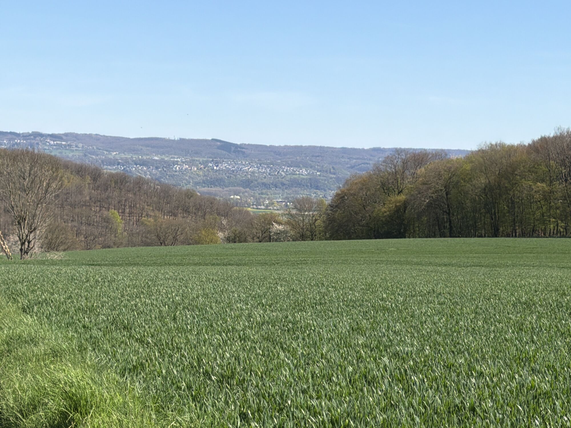
Shy, hidden in a side valley of the Ahr, lies the small village of Gimmingen, the starting point for this rural route. As if time stood still, the hike leads through a picturesque landscape of fields and pastures to a beautiful farm. Past the stately golf club grounds, the tour ends with a climb up to the chapel and castle ruins on the Landskrone – including a magnificent panoramic view.

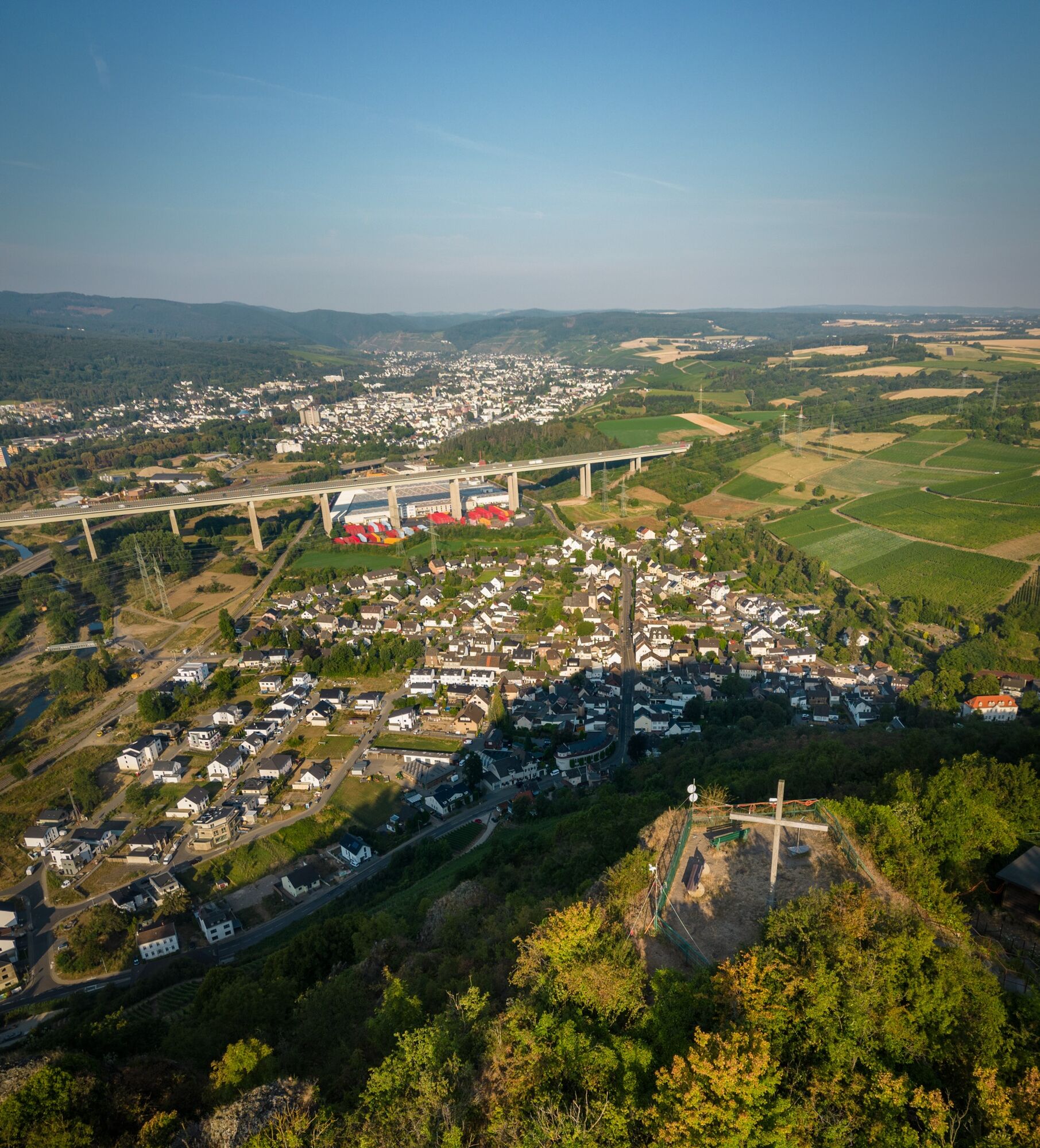
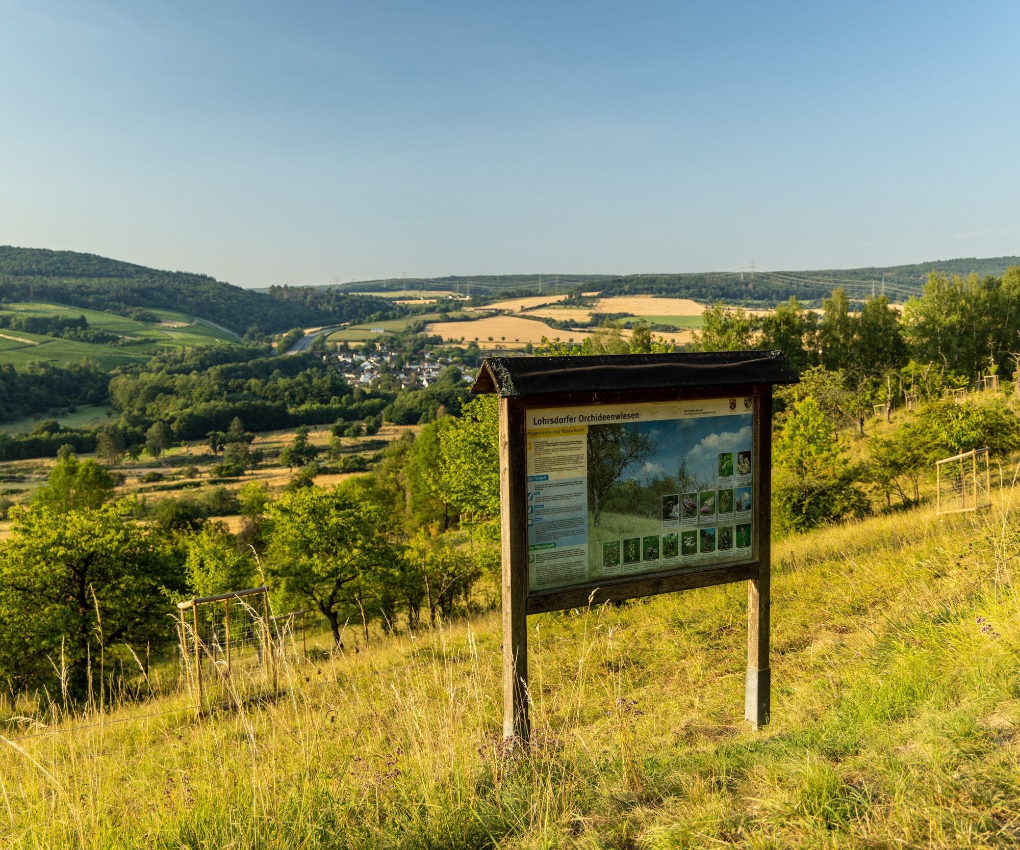
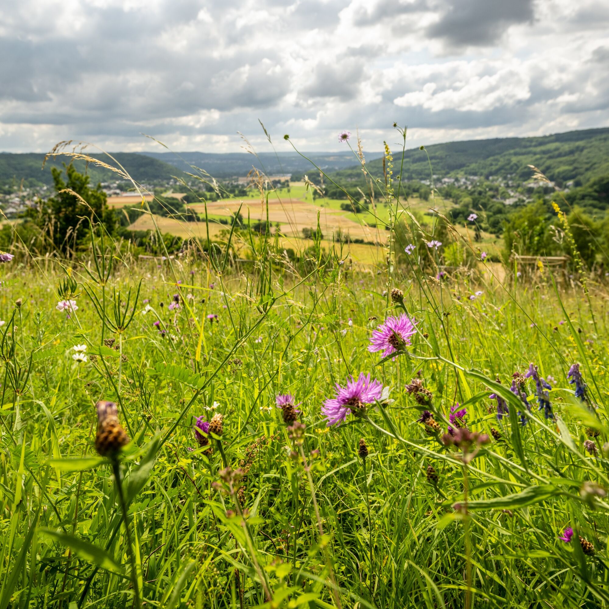
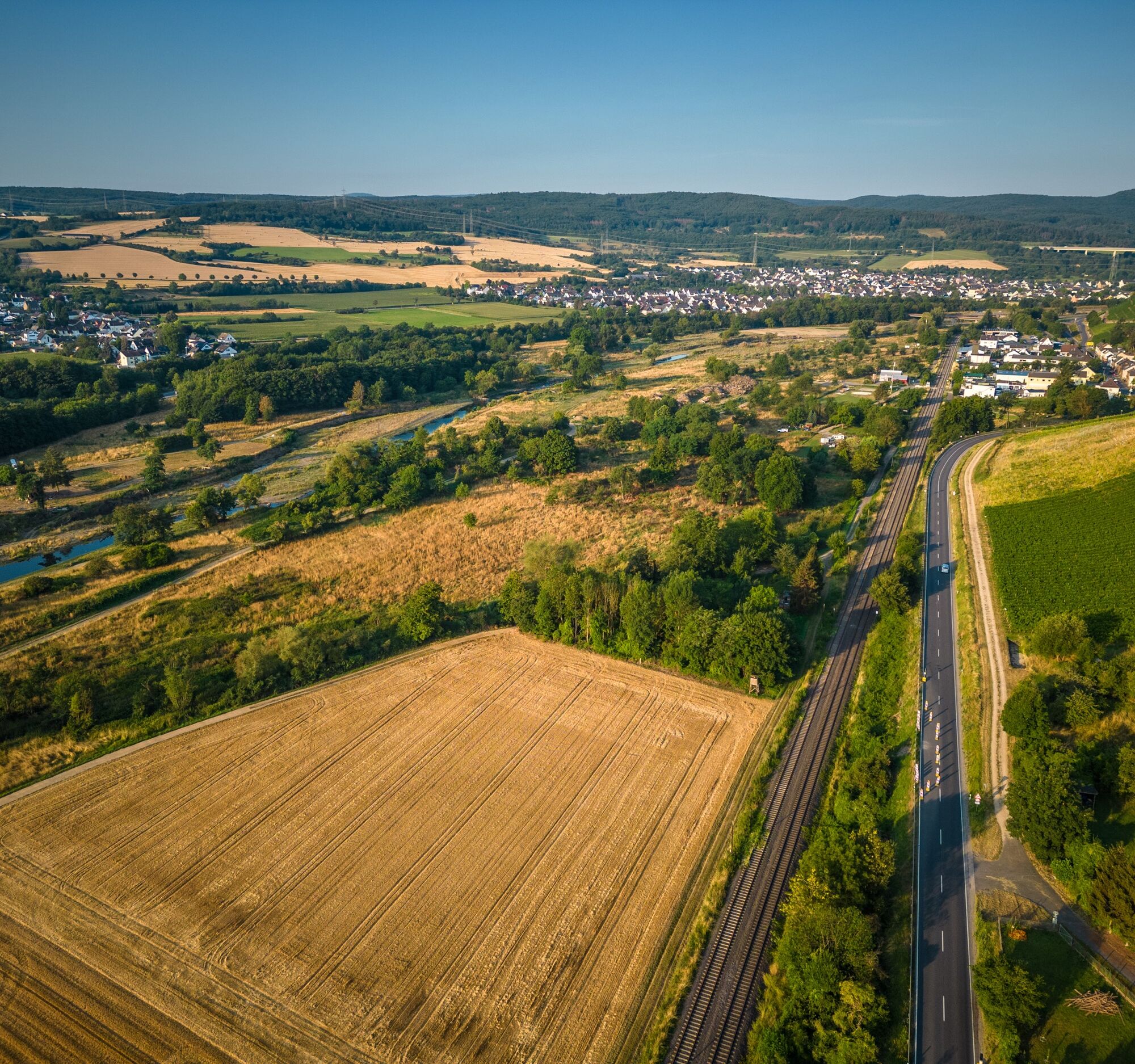
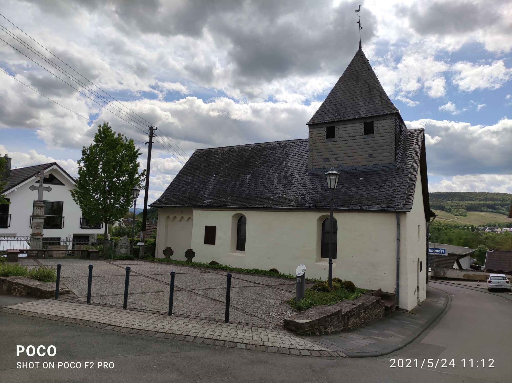
From the hiking parking lot by the small church "St. Cosmas, St. Damian and St. Katharina" in the center of the town of Gimmingen, the route initially crosses the Leimersdorfer Bach to the forest and then continues along a narrow meadow path at the forest edge. The path then goes through pastures, fields, and woodland areas, past fruit trees and weathered garden gates towards Kirchdauen, and then through a small forest area to Landskronerhof. Behind Landskronerhof, the path continues along the forest edge to the Golf and Country Club Bad Neuenahr.
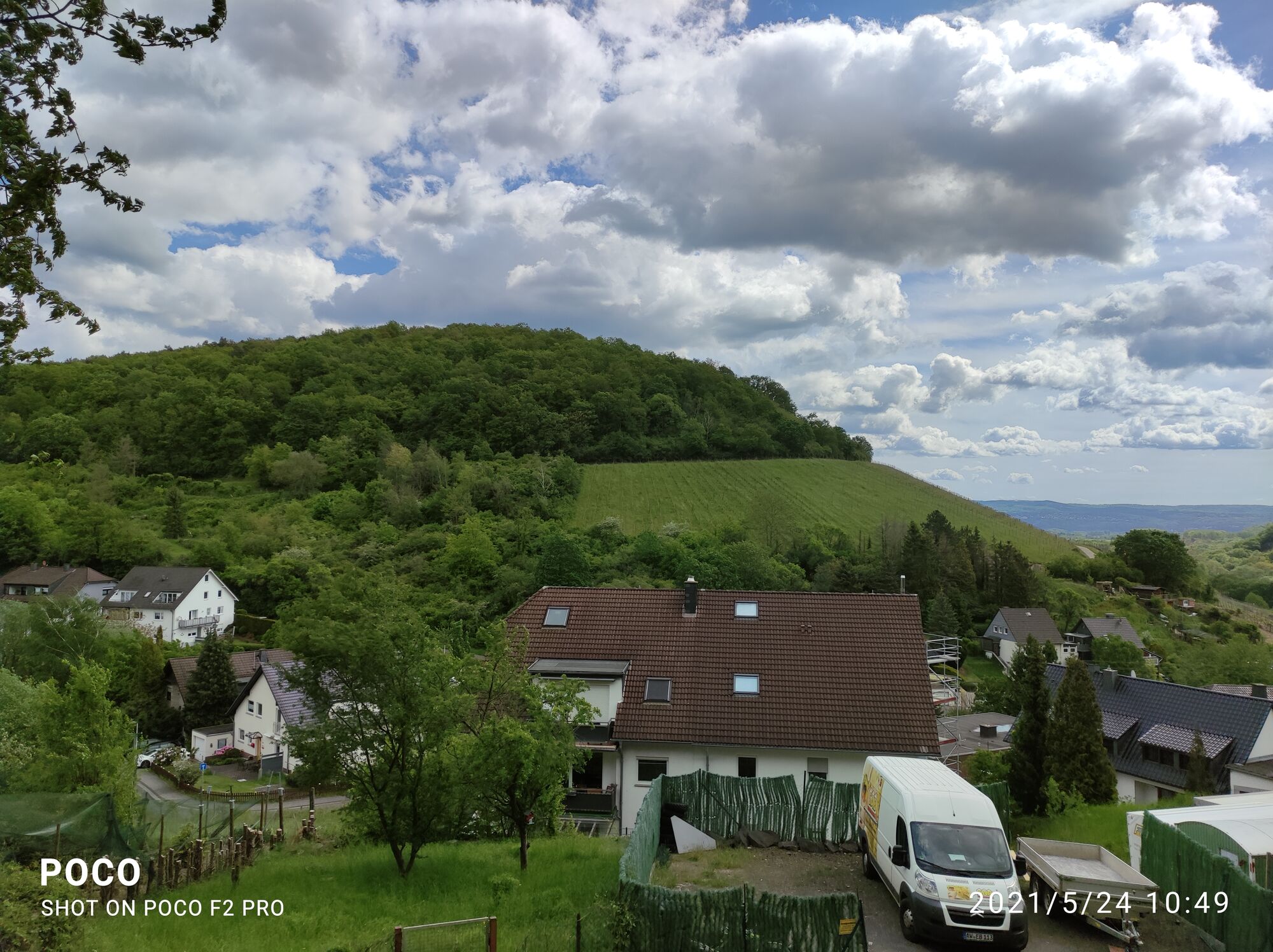
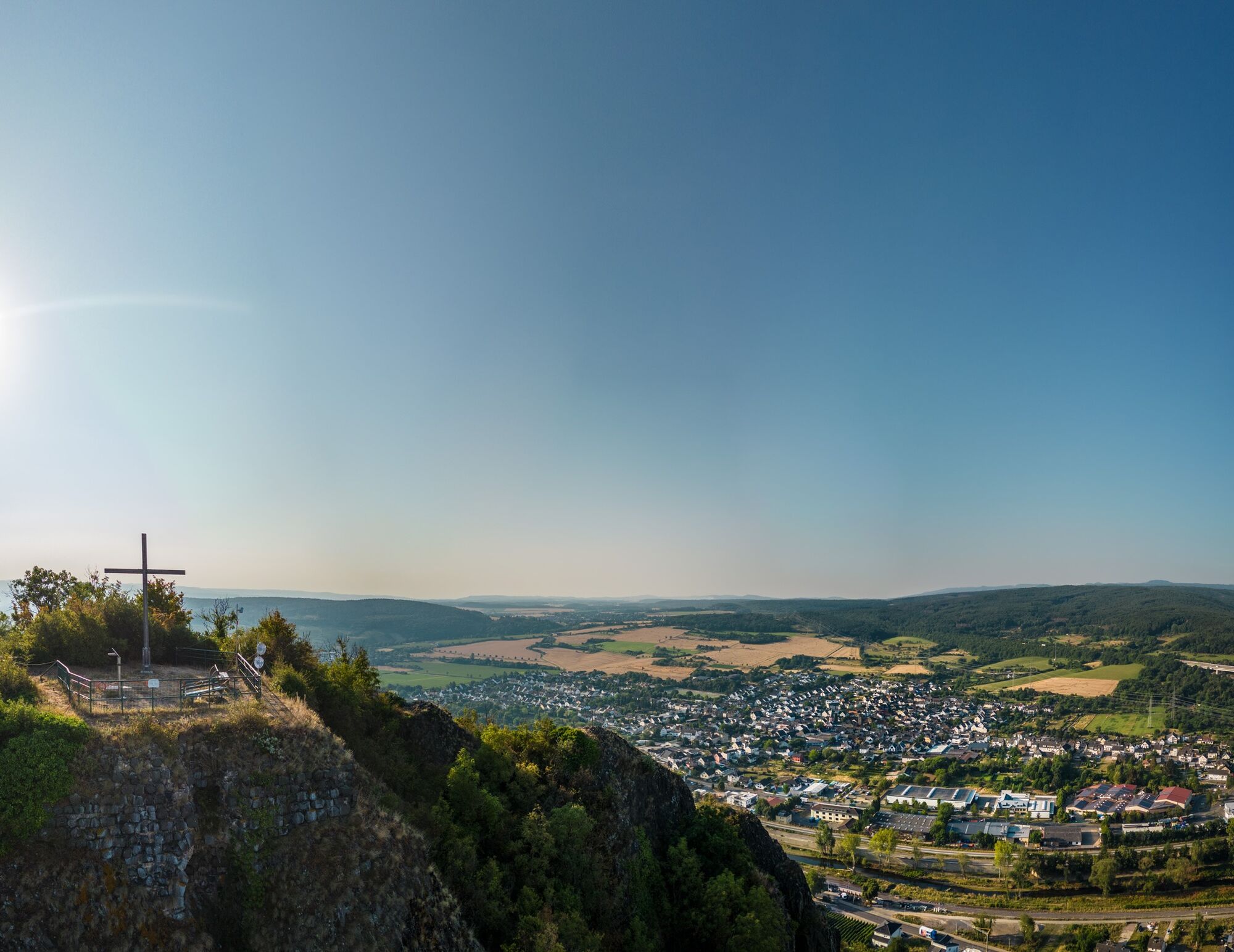
After the golf course, it first crosses wide fields and then descends into the forest towards Lohrsdorf. Further on through the vineyards of the "Heimersheimer Landskrone" and along the Red Wine Hiking Trail, the path leads to the Landskrone castle ruins. After the ascent, the Landskrone rewards hikers with an excellent panoramic view of the Ahr valley. From the castle grounds, the path leads back down to the starting point in Gimmingen.
A detailed route description with tips on places to eat, beautiful viewpoints, and elevation profiles can be found in the hiking book: "Around Bad Neuenahr-Ahrweiler. The 15 most beautiful hiking trails" from J.P. Bachem Verlag (ISBN 978-3-7616-2844-7).
Sturdy footwear.
No special safety instructions are required.
By car coming from the north via the A61 to the Bad Neuenahr-Ahrweiler motorway interchange. The short feeder motorway A 573 leads to Bad Neuenahr, Ahrweiler, and the other districts.
Coming from the south, leave the motorway at the Sinzig / Bad Neuenahr exit and then follow the feeder motorway A 571 as well as the bypass road B 266 towards Bad Neuenahr-Ahrweiler.
Bus connection
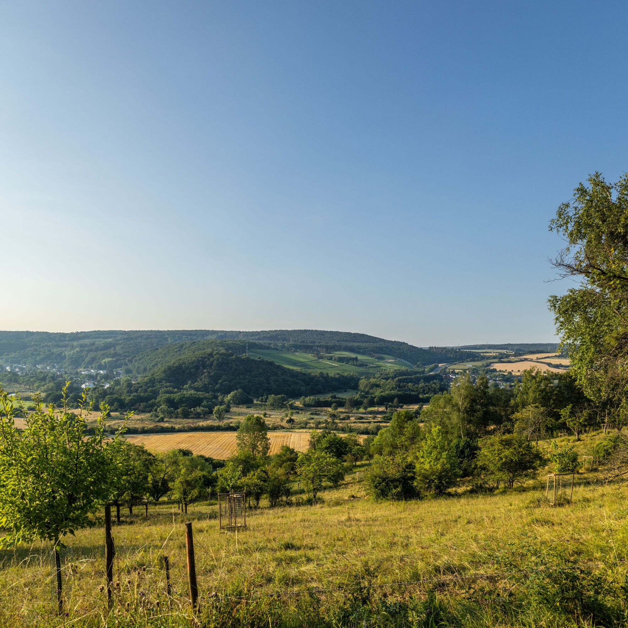
A view from the Landskrone!
Obľúbené výlety v okolí
-
4,6
Drachenfängerrunde
strednáTuristika 11,8 km -
5,0
Rundweg Breiberge, Logebachtal, Tretschbachtal
Turistika 19,8 km -
4,0
Siebengebirge über 7 Berge
strednáTrailrunning 24,2 km -
Wolkenburg und Nonnenstromberg
Turistika 13,0 km -
4,0
Teufelsloch-Höhenwanderung
strednáTuristika 7,44 km -
13-Gipfel-Tour im Siebengebirge
strednáTuristika 19,4 km -
4,9
Sieben auf einen Streich (Skiclub Bad Honnef, GeneralAnzeiger Bonn)
strednáTuristika 24,5 km -
5,0
Round route Bad Neuenahr No. 5 - Through the Ramersbach Forest
strednáTuristika 9,31 km -
Weinwanderung Dernau nach Ahrweiler
Turistika 23,4 km -
4,7
Rundwanderung Rech / Steinerberg
strednáTuristika 14,2 km

Turistika a stopovanie


Nenechajte si ujsť ponuky a inšpiráciu na ďalšiu dovolenku
Vaša e-mailová adresa bol pridaný do poštového zoznamu.