





Stoneman Miriquidi MTB upper basin Markersbach - Rabenberg
Úroveň náročnosti: S1

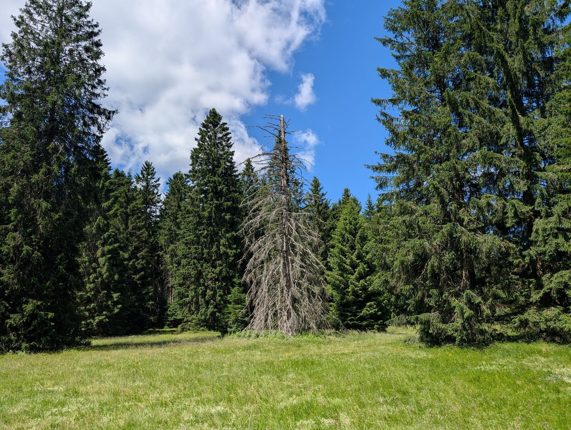
After the Obercken checkpoint, the route descends to Pöhla (479 m, visitor mine with the largest tin chambers in Europe and ski jumping facility) From there, take the Sonnenbergweg up to Rittersgrün. After...
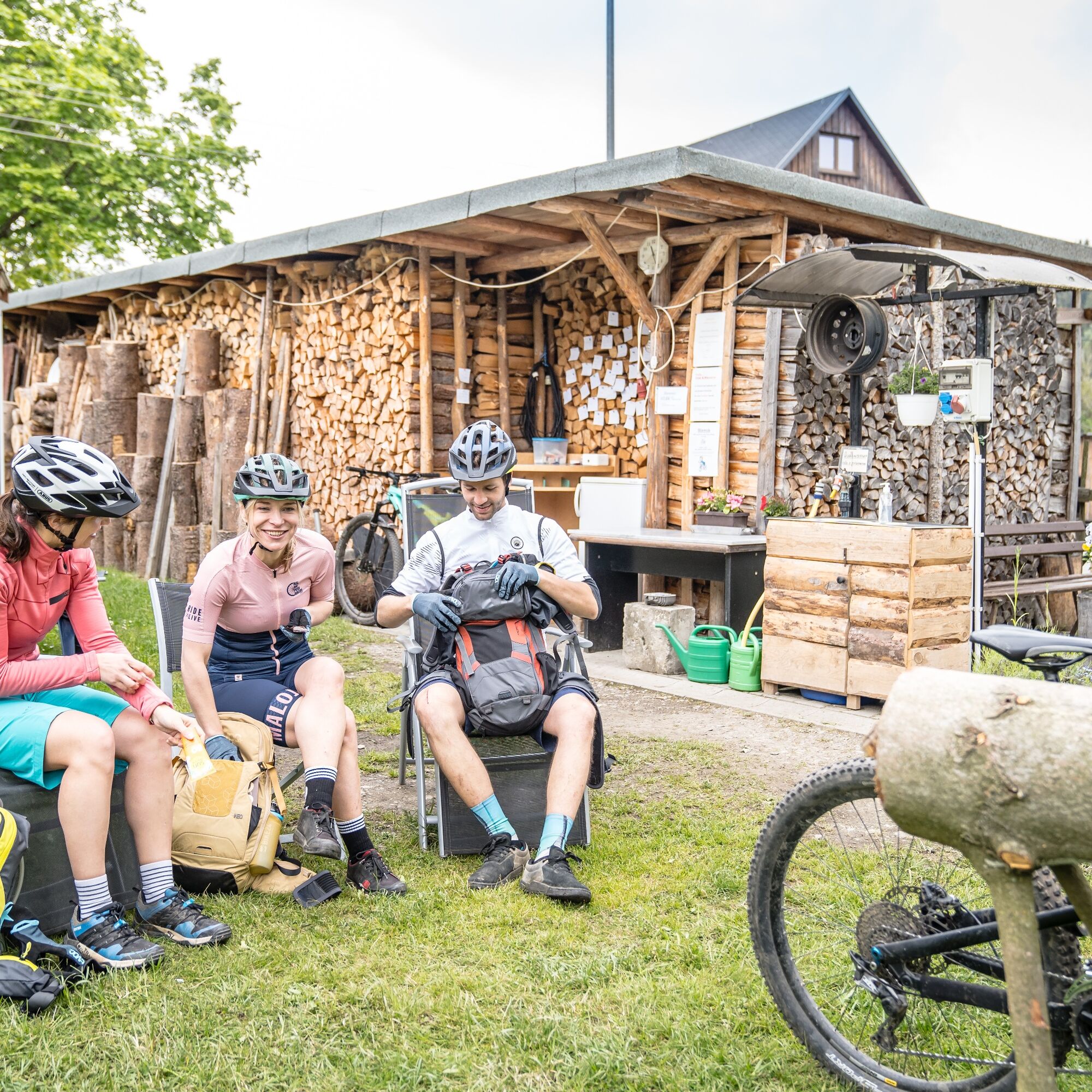
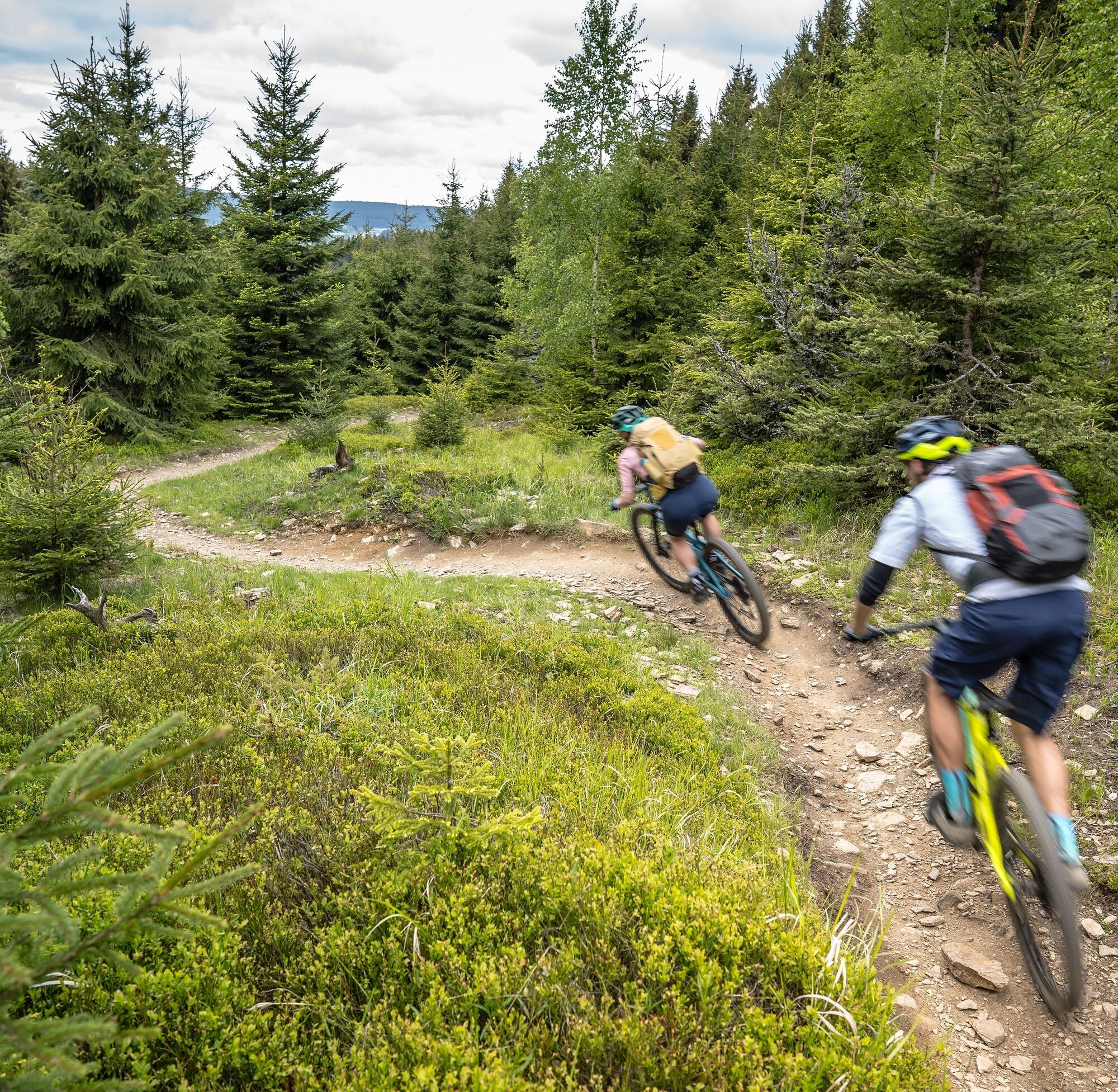
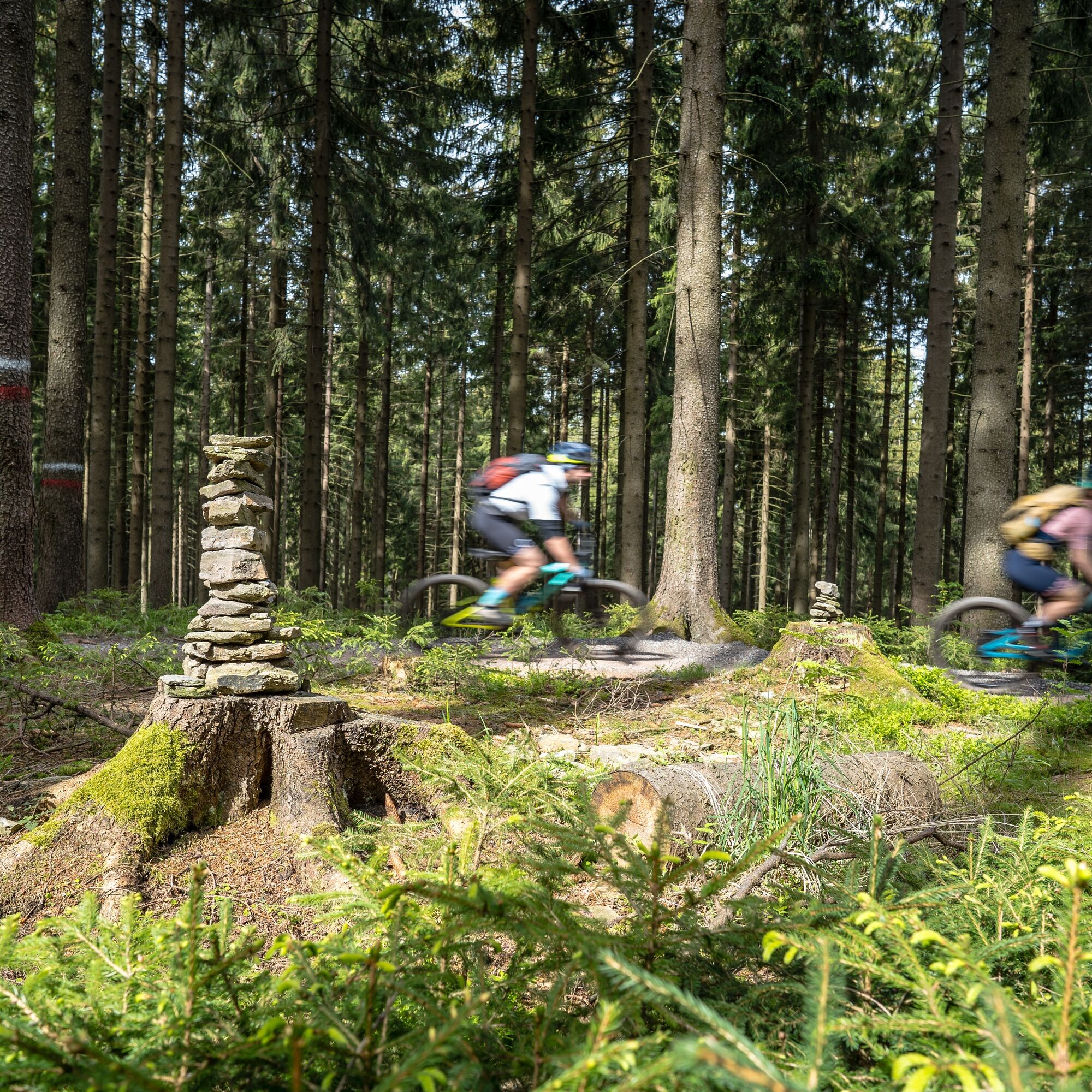
After the Obercken checkpoint, the route descends to Pöhla (479 m, visitor mine with the largest tin chambers in Europe and ski jumping facility) From there, take the Sonnenbergweg up to Rittersgrün. After a short stop at the Bleyl family's Stoneman garden, the last ascent before the trail center to Himmelswiese awaits with 4 km and 260 metres in altitude. Then it's another 6 km over the finest trails in the Trailcenter Rabenberg. The checkpoint is located directly at the trailhead.


S1
Obľúbené výlety v okolí
-
2,5
Oberwiesenthal,Keilberg,Bozi Dar,Fichtelberg, Oberwiesental
strednáTuristika 15,2 km -
Rundwanderung Talsperre Sosa
svetloTuristika 7,95 km -
4,0
Panorama trail Schwarzenberg
strednáTuristika 13,8 km -
4,7
Schlettau circular hiking trail "On the steps of Ottomar Zahm"
strednáTuristika 11,0 km -
Hotel Jens Weissflog - Kreuzbrückenfelsen - Fichtelberg - Hotel Jens Weissflog ,Oberwiesenthal, Deutschland Oberwiesenthal, Deutschland
svetloTuristika 9,71 km -
4,5
Zechengrund und Fichtelberg - Rundwanderung mit Ausblick
strednáTuristika 13,9 km -
In the footsteps of the Hundsmarterweibl
strednáTuristika 10,8 km -
4,0
Oberwiesenthal, Kreuzbrückenfelsen, Eisenberg, Oberwiesenthal
svetloTuristika 7,15 km -
Segwayfahrt bei Eibenstock
svetloMountainbike 15,2 km -
Stoneman Miriquidi 162 kilometers of pure mountain bike emotion
ťažkéMountainbike 168,0 km
Turistika a stopovanie


Nenechajte si ujsť ponuky a inšpiráciu na ďalšiu dovolenku
Vaša e-mailová adresa bol pridaný do poštového zoznamu.





