


Stoneman Miriquidi MTB section Bärenstein Pöhlberg
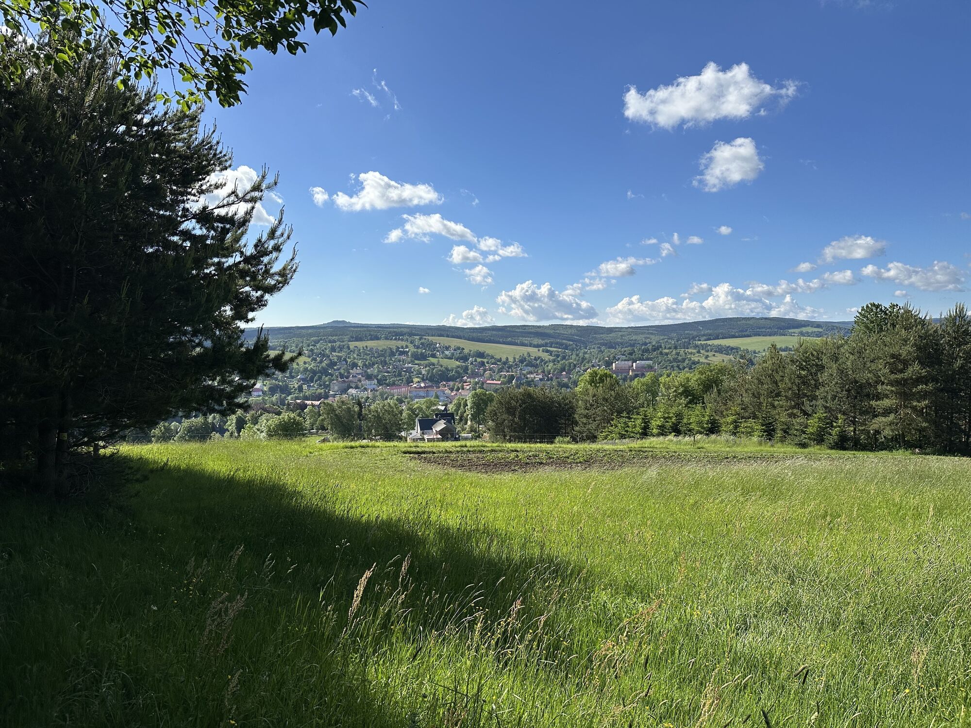
From Bärenstein through the Pöhlbach valley to the Pöhlberg, the local mountain of the district town of Annaberg-Buchholz

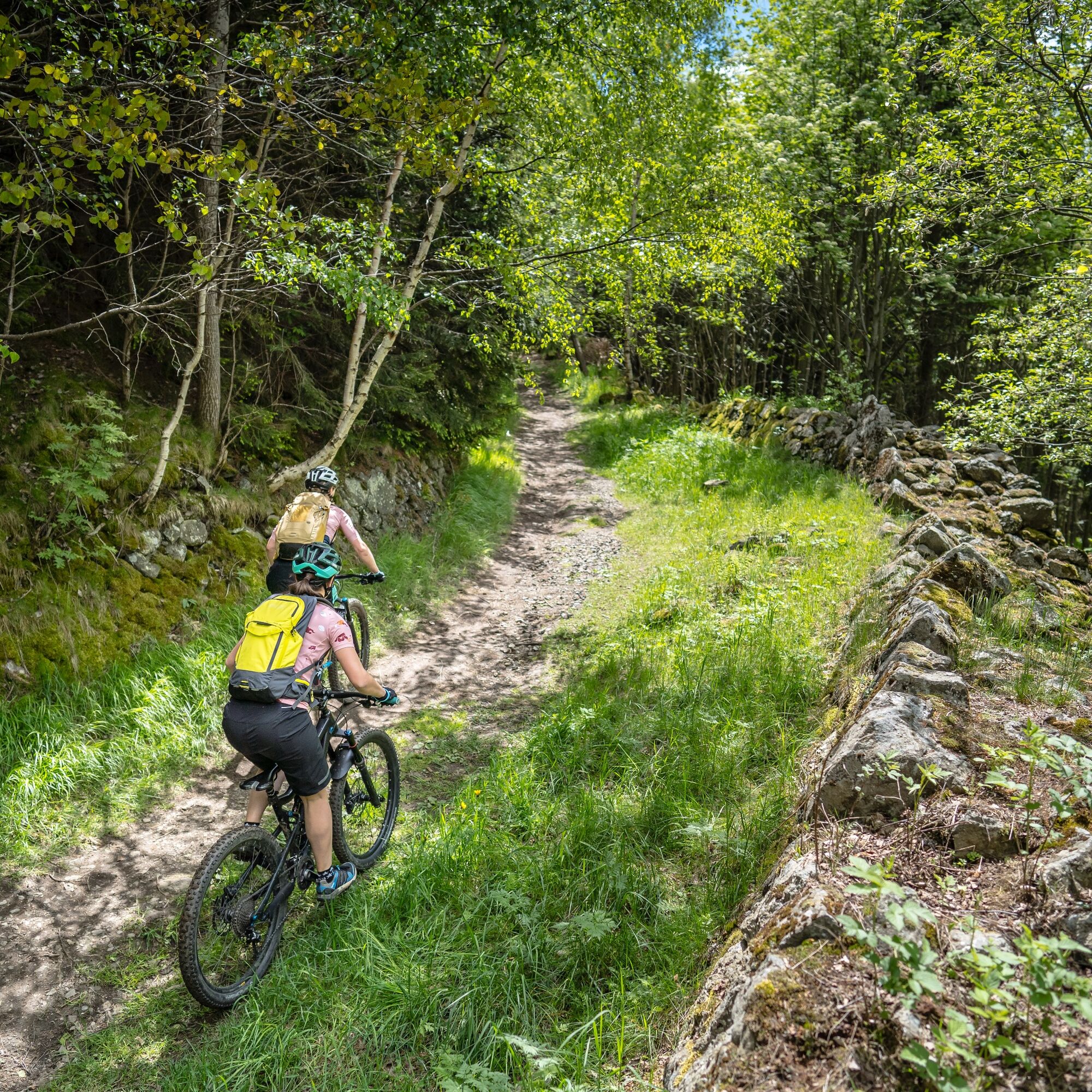
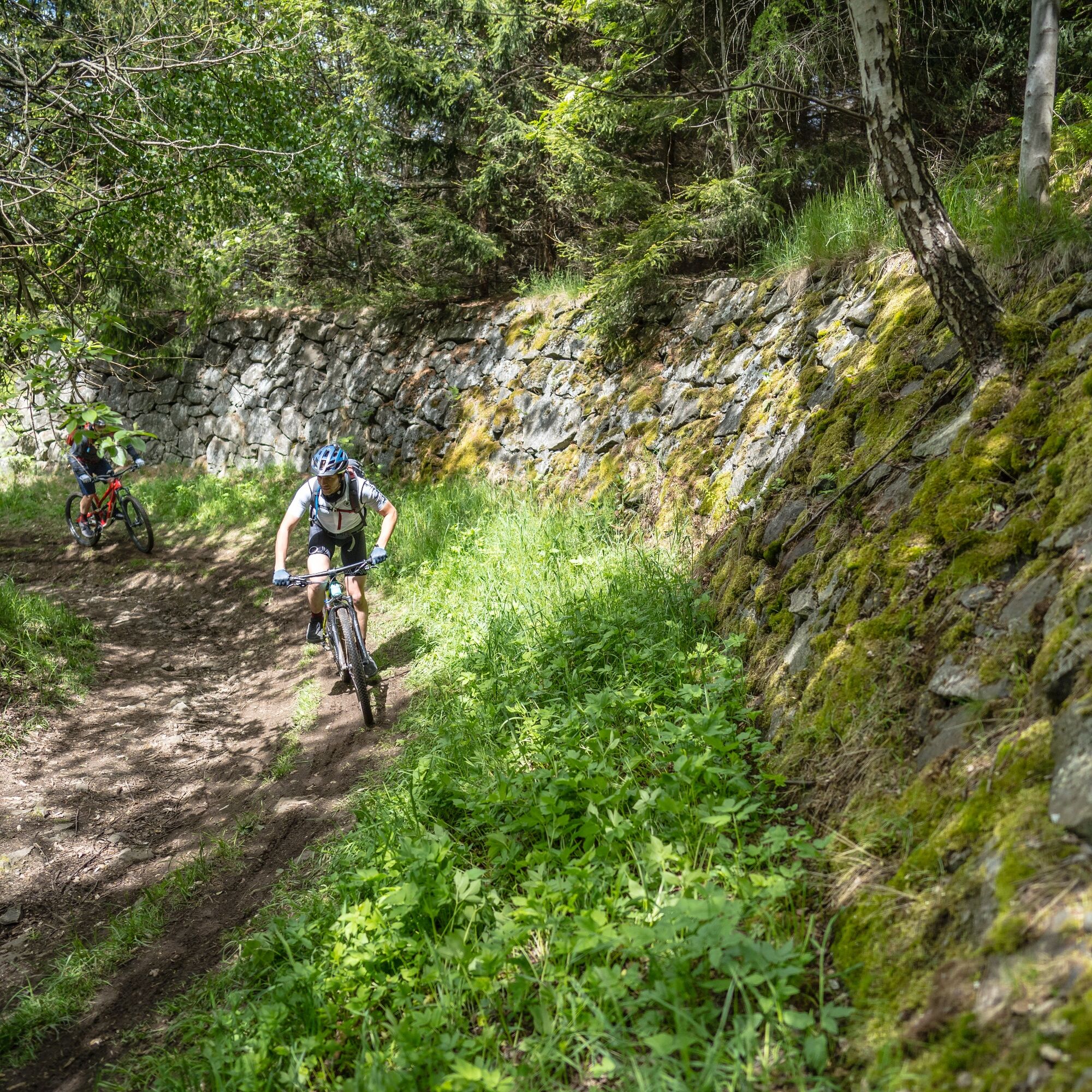
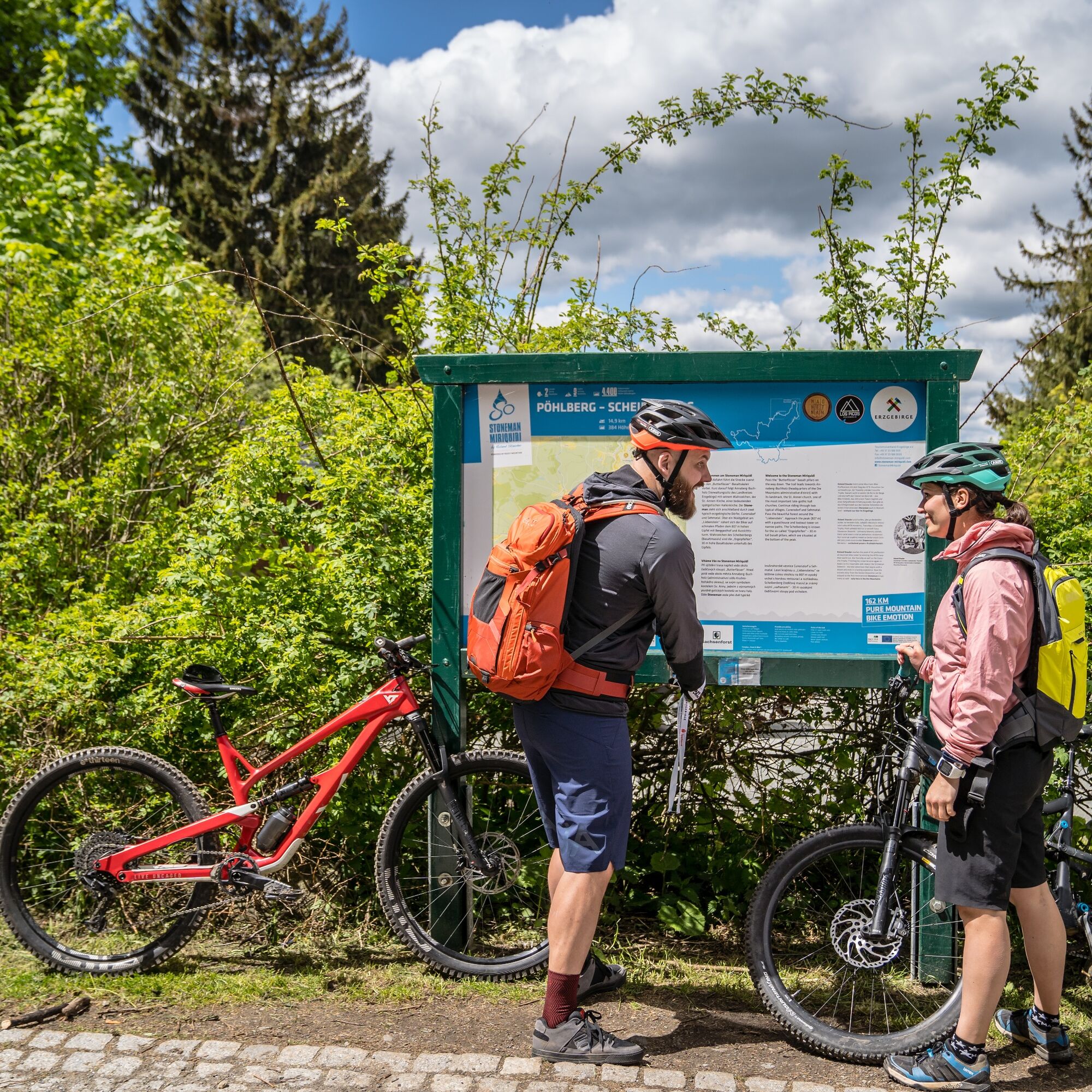
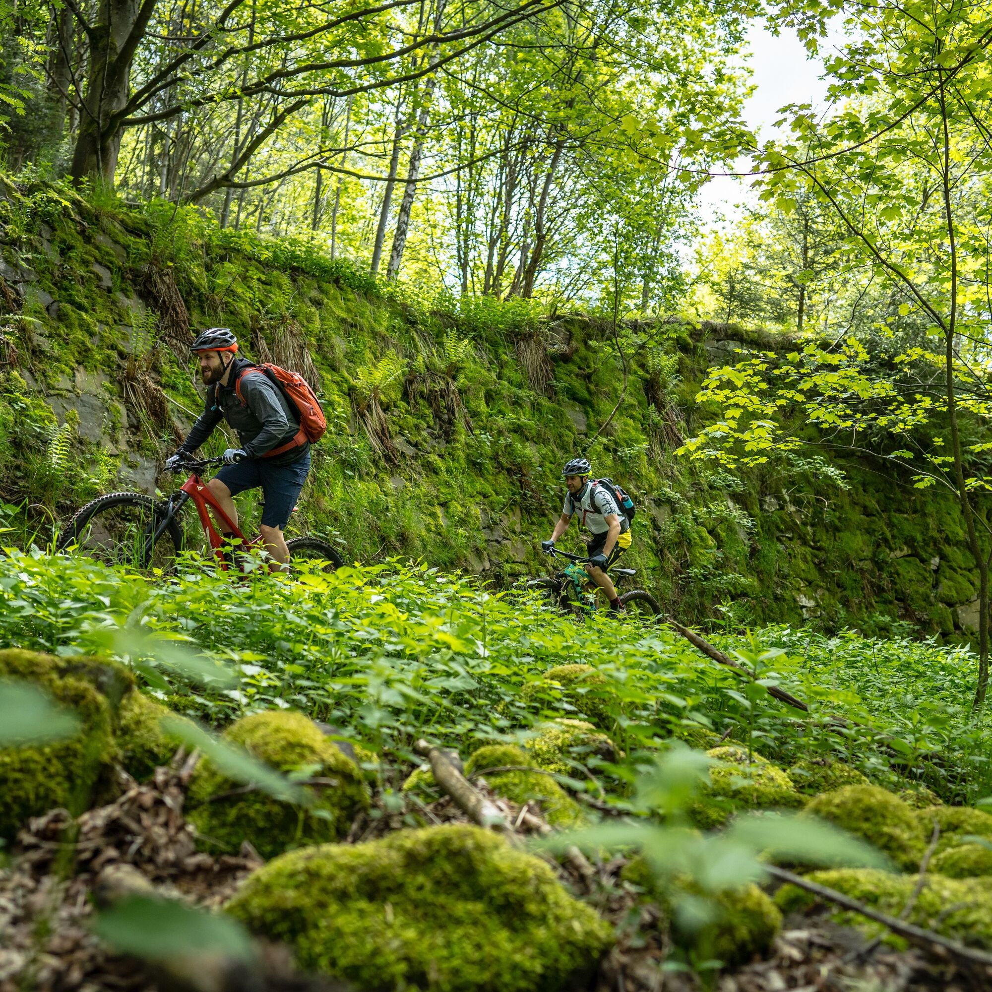
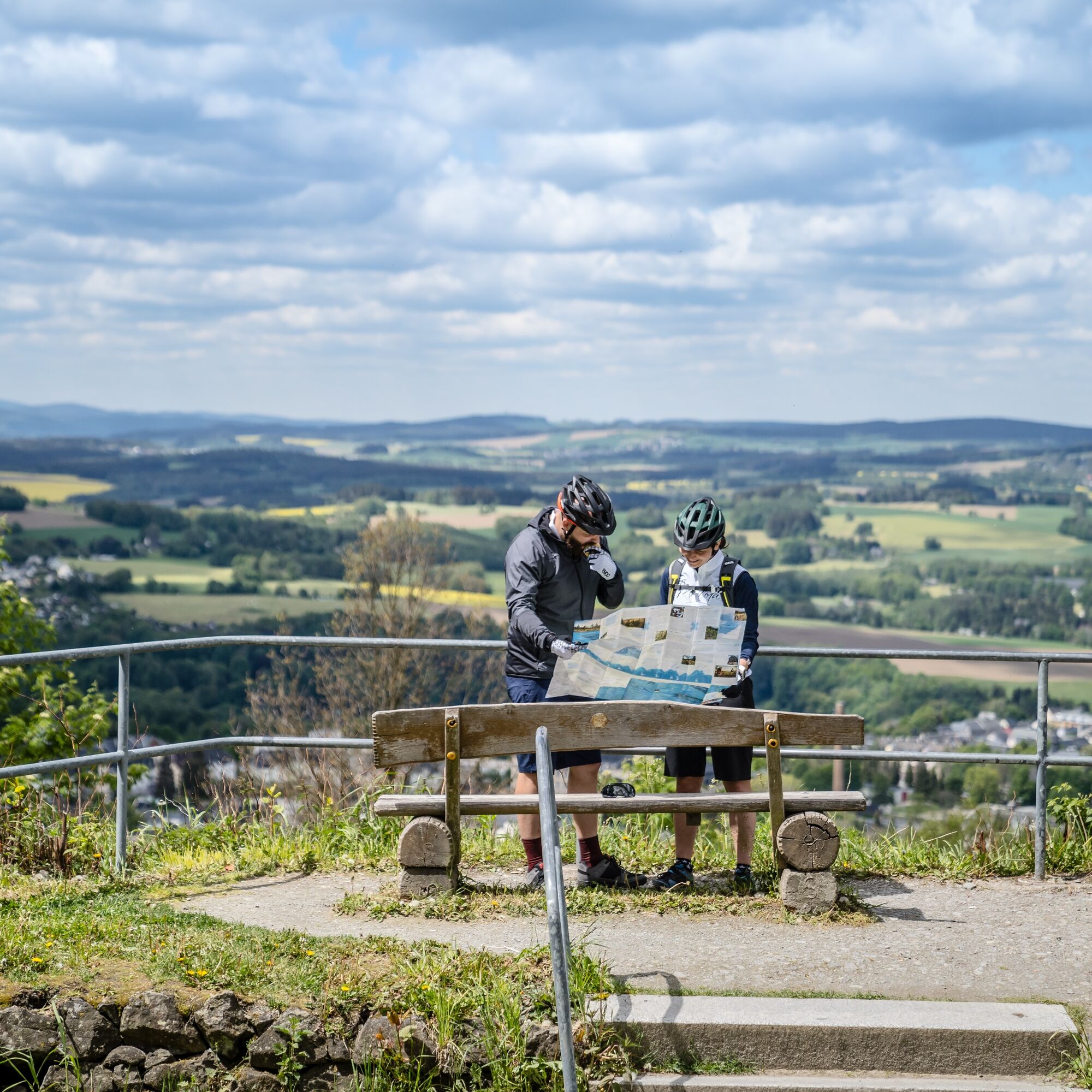
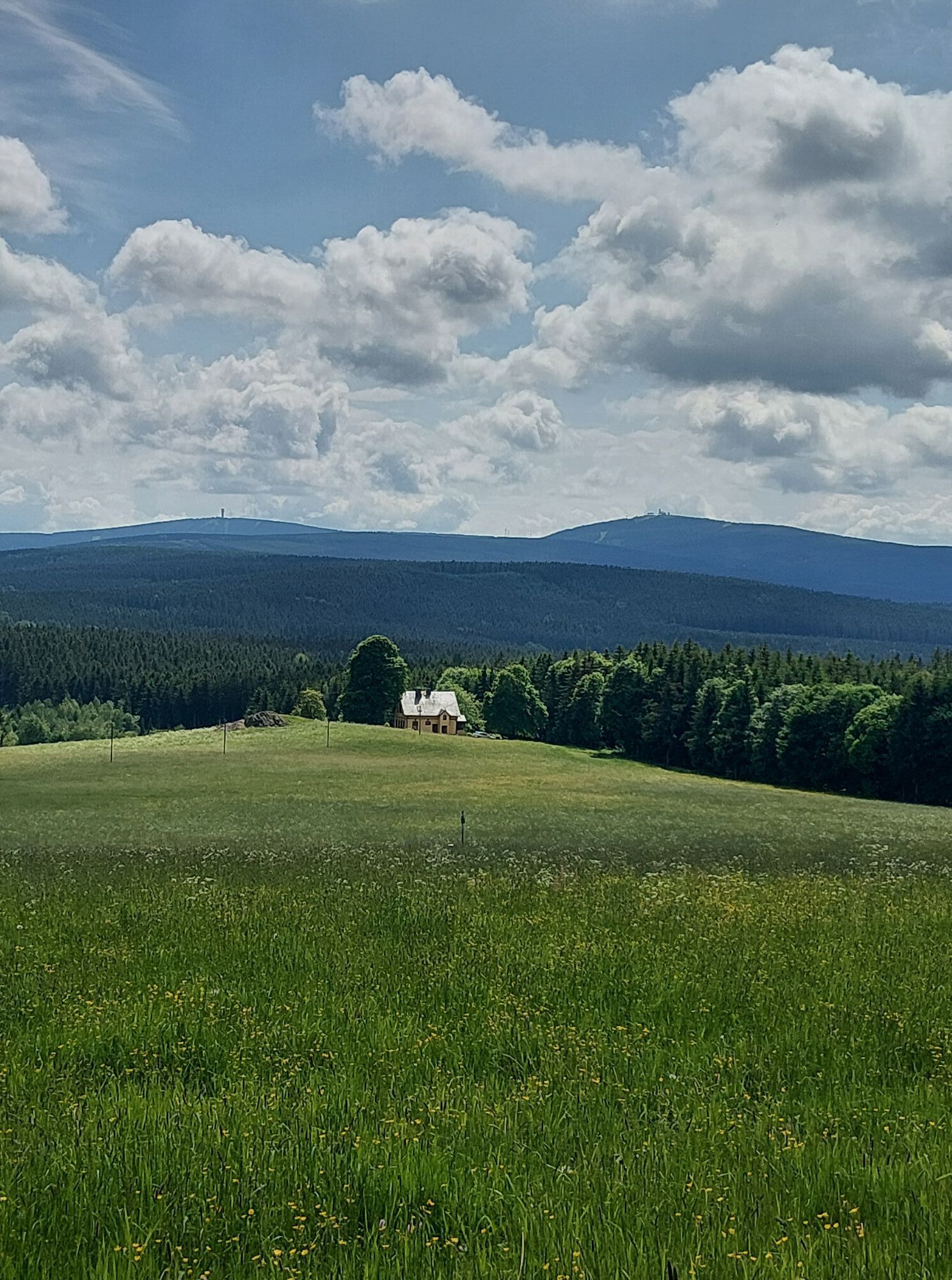
The descent initially follows the road for a while. At the edge of the forest, the route branches off sharply to the left onto a forest path. The route rolls quickly into the Pöhlbach valley. Via Brettmühle, the route leads through the striking village of Königswalde (537 m). Here begins a 300-metre ascent to the Pöhlberg (834 m, basalt mesa). For the last few meters, the Stoneman winds its way up the old bobsleigh track with its high natural stone walls (built in 1915, 1,500 m long at the time). The mountain hotel and the 35-metre-high observation tower built in 1897 await bikers at the summit.
Caution:
At route kilometer 16 (0.6 on the section), the route turns left off the road onto the small forest path before the hiking parking lot.
At route kilometer 19.7 (4.3 on the section), the route turns sharply left from the local road Kühberg approx. 300m after the railroad underpass. Please ride slowly after the railroad underpass.
Obľúbené výlety v okolí
-
5,0
Rocky idyll and ridge view (Wolkenstein)
strednáTuristika 15,2 km -
4,7
Schlettau circular hiking trail "On the steps of Ottomar Zahm"
strednáTuristika 11,0 km -
Hotel Jens Weissflog - Kreuzbrückenfelsen - Fichtelberg - Hotel Jens Weissflog ,Oberwiesenthal, Deutschland Oberwiesenthal, Deutschland
svetloTuristika 9,71 km -
In the footsteps of the Hundsmarterweibl
strednáTuristika 10,8 km -
5,0
Alpine hiking trail - town of Wolkenstein/Warmbad (Boundless. Wild romantic nature experiences)
strednáTuristika 10,1 km -
4,0
Oberwiesenthal, Kreuzbrückenfelsen, Eisenberg, Oberwiesenthal
svetloTuristika 7,15 km -
4,0
Runde über den Fichtelberg
svetloTuristika 10,2 km -
Ehrenfriedersdorf-Waldgeisterweg-Greifensteine
svetloTuristika 7,33 km -
Fichtelberg-Keilberg Oberwiesenthal, Deutschland
strednáTuristika 25,6 km -
4,5
TK 9 - Wiesaer Höhenweg
strednáTuristika 9,46 km
Turistika a stopovanie


Nenechajte si ujsť ponuky a inšpiráciu na ďalšiu dovolenku
Vaša e-mailová adresa bol pridaný do poštového zoznamu.