







Tour of North Shaft - Experience the Rothschönberger Stolln!

The Rothschönberger Stolln is the deepest and longest drainage adit of the Freiberg mining district and part of the UNESCO World Heritage Ore Mountains (Erzgebirge Krušnohoří). It was constructed from...
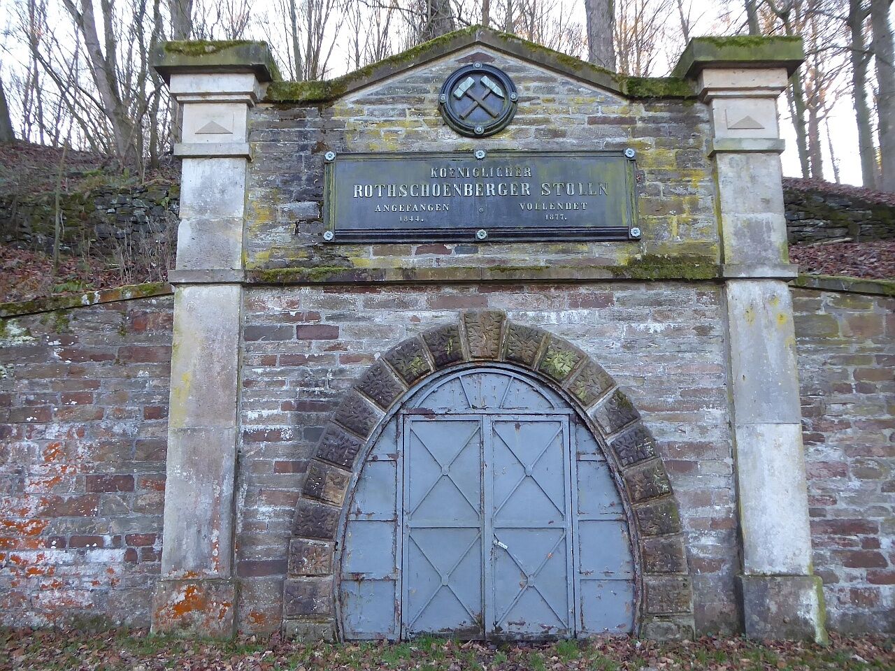
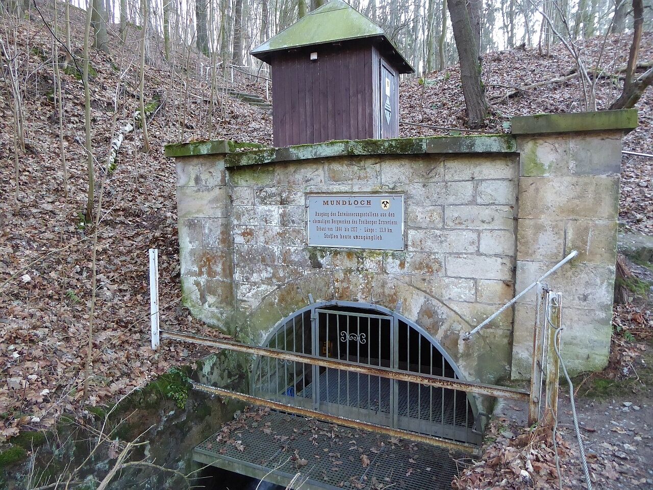
The Rothschönberger Stolln is the deepest and longest drainage adit of the Freiberg mining district and part of the UNESCO World Heritage Ore Mountains (Erzgebirge KrušnohoÅí). It was constructed from 1844 to 1877. The fiscal (state funded) section has a length of 13.7 km from the Röschen adit into the Triebisch near Rothschönberg to the VIII. shaft in Halsbrücke and a gradient of 0.032%. Eight shafts were sunk for ventilation, and the adit was driven with 2.5 m width and 3 m height using counterheading.
The northern route leads from the IV. via the III. and II. shafts with a detour via the I. shaft to Rothschönberg to the adit gate and the adit at the Triebisch. The return path goes over little trafficked roads to Dittmannsdorf and then back via the narrow-gauge railway path.
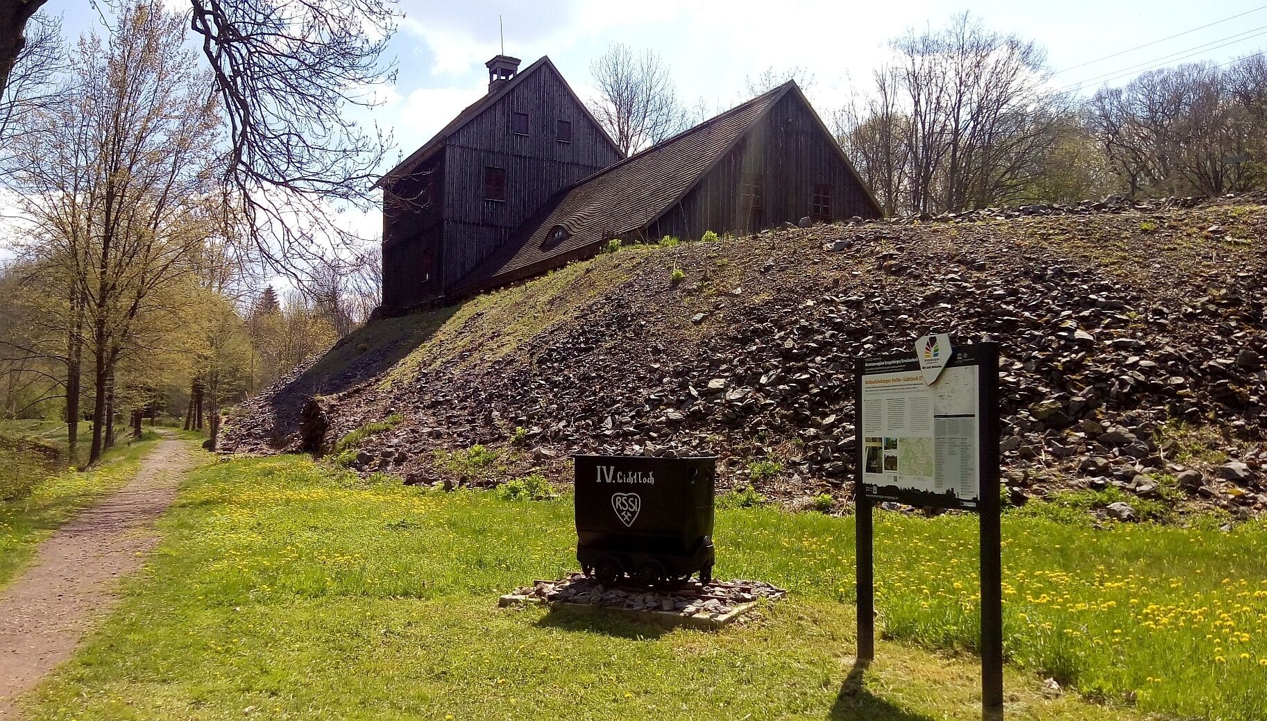
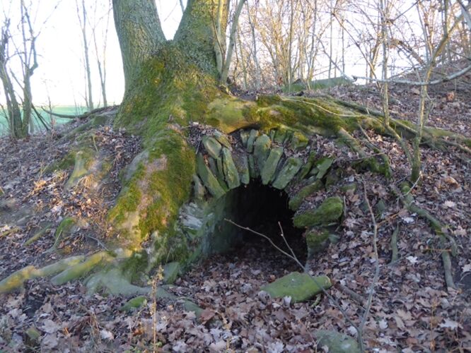
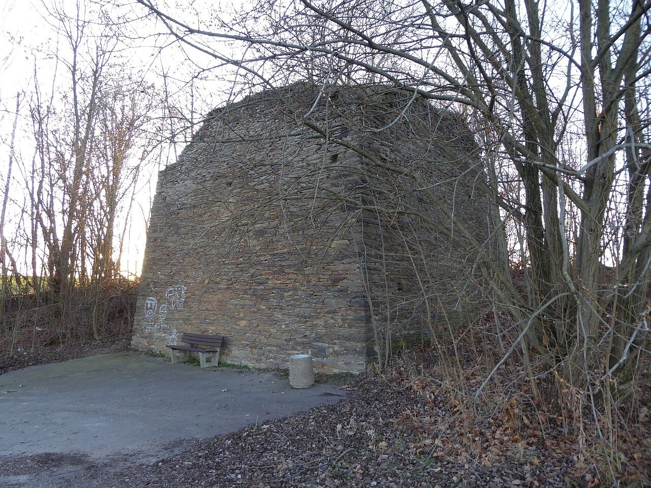
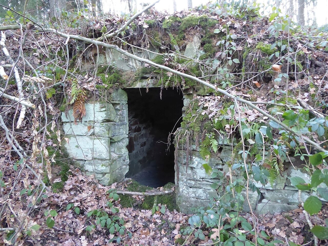

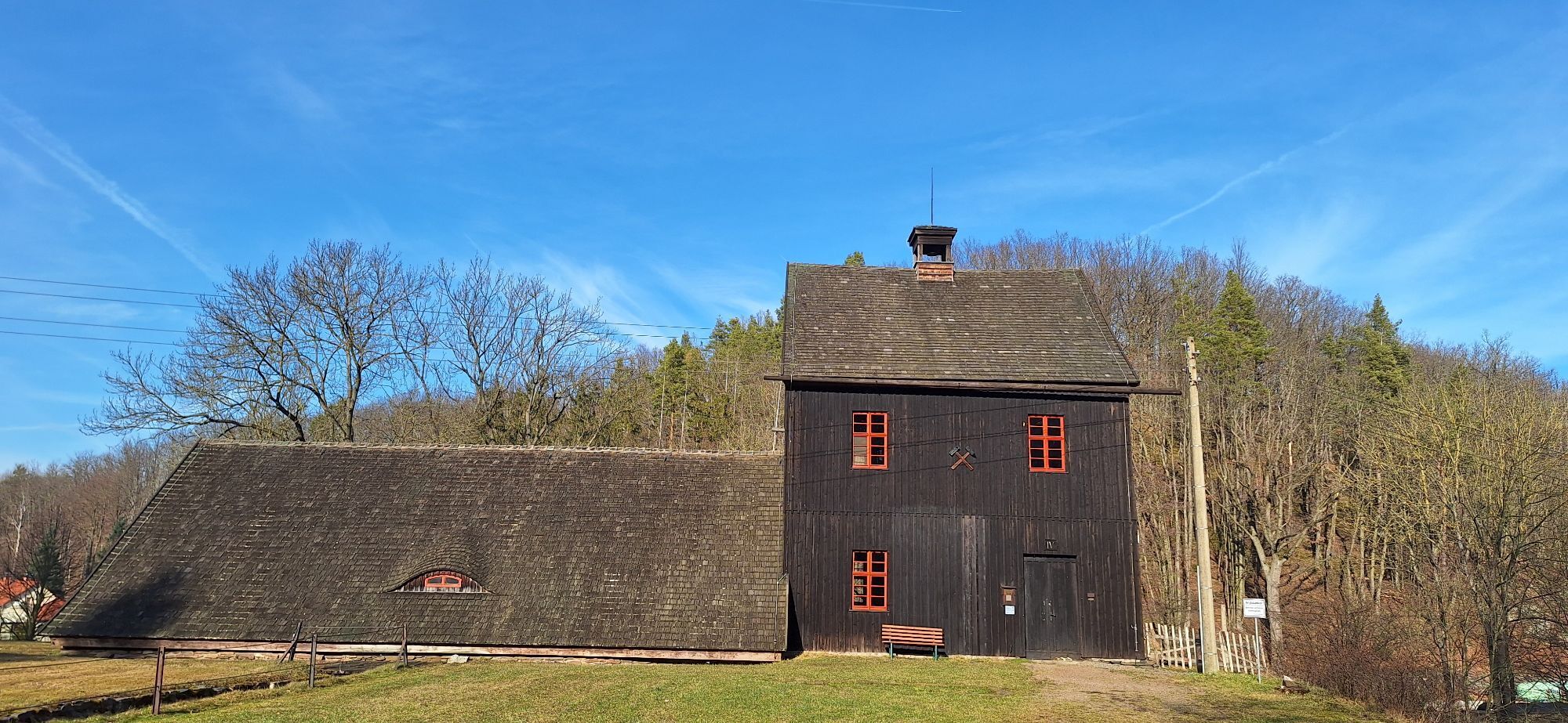
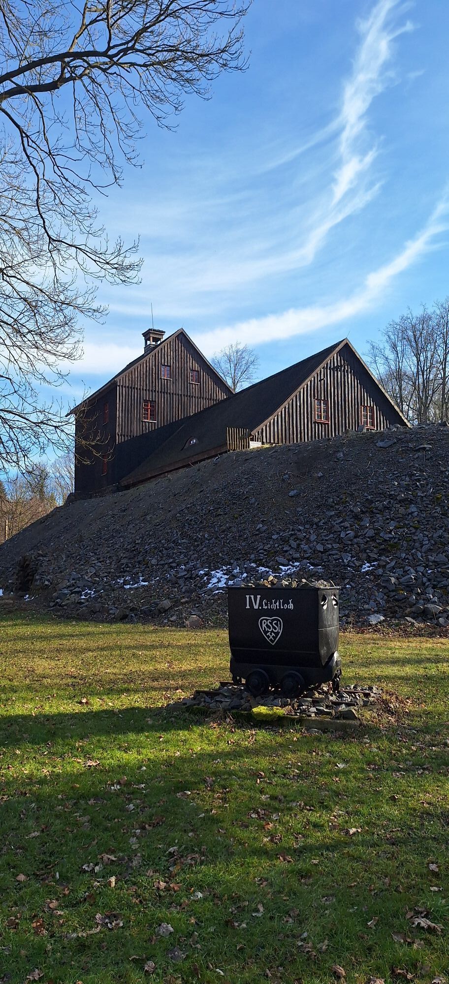
The starting point is the IV. shaft in Reinsberg. From there, continue along the country road towards Neukirchen. Before the pheasant houses, in a bush, you will find the remains of the III. shaft. Then proceed to the western exit of Neukirchen, where the impressive masonry of the shaft’s headframe of the II. shaft lies directly next to the road.
The I. shaft is located in the Rothschönberger Tännicht on the right bank of the Tännichtbach south of Wilsdruffer Straße (S36). You can reach it via Salzstraße and the S36, then via a rather overgrown forest path. The S36 is heavily trafficked, especially during congestion on the A4 towards Dresden. You can turn right from Salzstraße into a field path and then take the Tännichtweg, which is also quite overgrown.
Back on the S36, go a short distance east out of the forest and halfway up turn left onto the narrow paved road over the A4 towards Rothschönberg, where a detour to the castle is recommended. Continue down the Bleiberg, where the road to Perne/Groitzsch leads off to the right. Shortly after the Triebisch bridge, the hiking path branches left downhill along the Triebisch, which we follow to the Röschen adit (suitable for touring bikes) and then return. From this detour, the Main adit gate is about 100 m further upstream on the right side of the road at the junction of the hiking path to Tanneberg behind a house, accessible via a meadow path. The return route initially goes to the Dammmühle under the highway bridge. You can use the hiking path along the Triebisch, which is rather bumpy, but the route follows the road further where you can see the remains of limestone mining with a kiln in Perne, then take the Tanneberg road to Dammmühle.
From here it gets athletic – the road to Tanneberg and further to Neukirchen has some climbs. In Neukirchen, after the church, we turn left over Schenkberg to Dittmannsdorf to the country inn (a shortcut would be right and then left on the busier and steeper Freiberg road). The route now leads over Bahnhofstraße to the Narrow-gauge railway path Wilsdruff-Nossen, which passes directly by the spoil heap of the IV. shaft, returning to the starting point. If you don’t like the bumpy narrow-gauge railway path, you can stay on the main road (S195) and return to Reinsberg.
Áno
Touring bike, mountain bike, e-bike
At the detour to the I. shaft there are blackberry bushes and nettles
Parking available on the grounds of the IV. shaft
The local history museum in Rothschönberg Castle is usually open on Sunday afternoons and provides information on castle and local history as well as about the Rothschönberger Stolln and mining and geology in the Triebisch valley. Information via Rothschönberg Local History Association Tel. 035245/70738
The Dittmannsdorf Country Inn currently has limited opening hours: Fridays from 5 pm, on weekends also 11 am to 2 pm or 3 pm (but sometimes closed for private events), with a beer garden in summer.
In Reinsberg at the campsite there is the “Einkehr am Bad” which is mostly open during the camping season and on weekends.
The Reinsberg Swimming Park (a very nice outdoor pool) has a snack bar.
The association “Fourth Shaft of the Rothschönberger Stolln e.V.” offers guided tours above and below ground by appointment (185 m long adit, wheel chambers, exit via the shaft)
Obľúbené výlety v okolí
-
4,7
Grabentour from Krummenhennersdorf to Reinsberg
svetloTuristika 7,76 km -
Niederwartha, Cossebaude
svetloTuristika 8,01 km -
4,0
Meißen
svetloTuristika 10,8 km -
5,0
Kleine Runde zum Rodigt
svetloTuristika 3,90 km -
Mining history hike in Freiberg's northern mining district
strednáTuristika 10,2 km -
Hiking in the Halsbrücke mining district
strednáTuristika 8,68 km -
Saxon Way of St. James - section Grillenburg - Freiberg
strednáPútnická trasa 18,3 km -
Lightshaft South route - experience the Rothschönberger Stolln!
strednáCyklistika 21,7 km -
Mulde Cycle Route - On the way between Freiberg and Nossen along the Freiberger Mulde
strednáCyklistika 29,4 km -
4,0
Götterfelsenweg - Wanderliebling Dresden Elbland
strednáTuristika 4,63 km
Turistika a stopovanie


Nenechajte si ujsť ponuky a inšpiráciu na ďalšiu dovolenku
Vaša e-mailová adresa bol pridaný do poštového zoznamu.





