







Würschnitztalweg - leisurely cycling
Úroveň náročnosti: 2


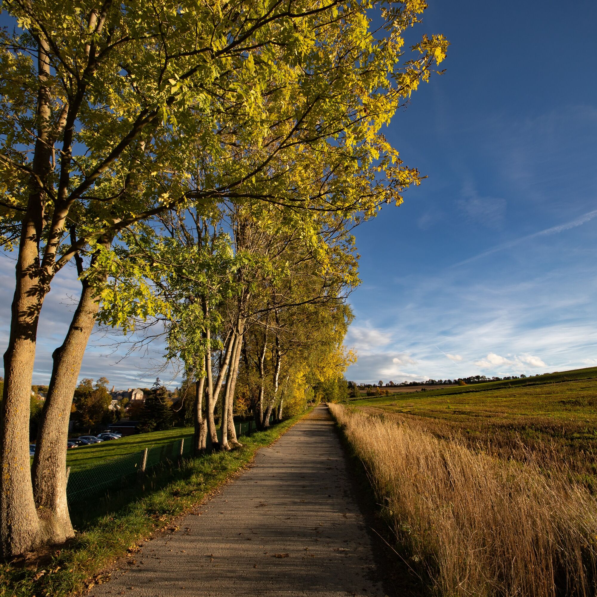
Wide fields, tranquil places, gentle climbs, and often views of the ridge areas of the Erzgebirge are the highlights of the tour through the Würschnitztal. It connects the municipalities Neukirchen, Jahnsdorf,...
Wide fields, tranquil places, gentle climbs, and often views of the ridge areas of the Erzgebirge are the highlights of the tour through the Würschnitztal. It connects the municipalities Neukirchen, Jahnsdorf, Niederdorf, Niederwürschnitz with the cities Oelsnitz and Lugau. The Würschnitztal cycle route begins at Waldbad Neuwürschnitz and leads up to Wasserschloss Klaffenbach on the edge of Chemnitz. The continuously signposted cycle route is designed to be family-friendly with its sights and places to eat. At the recreational area “Alte Ziegelei,” it is recommended to plan a longer break to let yourself be chauffeured through the area on the field railway (on Sundays, public holidays, and during festivals) and to refresh yourself at the snack bar. On the further ride through the Steegenwald forest, you can hear engine noises from the air on some days and see historic machines operating, as you will soon reach Jahnsdorf with its airfield. Only a few kilometers remain to Wasserschloss Klaffenbach, which unites several facilities under one roof. Culture, art, sport, and hospitality find space within the historic walls, offering a diverse program. For a relaxed return journey, you can also use the Würschnitztal cycle route.
For those wanting a slightly more challenging route, the circular tour via the Eisenweg is recommended. From Wasserschloss Klaffenbach, take the Eisenweg towards Brünlos. From Stollberg / Brünlos, follow cycle route 6 to the recreational area “Alte Ziegelei,” where you reconnect with the Würschnitz cycle route and complete the last kilometers of the tour on the familiar path. (The Eisenweg is not yet continuously signposted as a cycle route.) You can then enjoy a refreshing cool down at the Waldbad.


Bus, train
2
Tourism Association Erzgebirge e.V., Adam-Ries-Straße 16, 09456 Annaberg-Buchholz, Tel.: +49 3733 188000, Fax: +49 3733 1880020, info@erzgebirge-tourismus.de, www.erzgebirge-tourismus.de
The RADschlag
Destinations
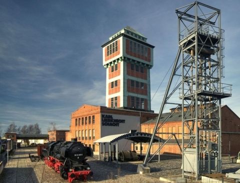
• Mining Museum Oelsnitz
• Wasserschloss Klaffenbach
• Recreational area Alte Ziegelei Niederwürschnitz
• Waldbad Neuwürschnitz

Obľúbené výlety v okolí
-
5,0
Alpine hiking trail - town of Wolkenstein/Warmbad (Boundless. Wild romantic nature experiences)
strednáTuristika 10,1 km -
Ehrenfriedersdorf-Waldgeisterweg-Greifensteine
svetloTuristika 7,33 km -
5,0
Discover Adorf and the Eisenweg
strednáTuristika 11,5 km -
4,0
Via Mala
svetloTuristika 5,36 km -
3,5
Historical circular hiking trail - Witzschdorf
strednáTuristika 7,38 km -
5,0
Greifensteine und Binge von Geyer
strednáTuristika 15,7 km -
Spaziergang um die Talsperre Stollberg
svetloPrechádzka 4,78 km -
Zschopautalweg
ťažkédiaľková pešia trasa 129,0 km -
Zschopau Valley Bike Trail - The Crown Jewel of the Ore Mountains
strednáDiaľková cyklotrasa 132,1 km -
Saxon Way of St. James along the Franconian Road (Bautzen - Hof)
strednáPútnická trasa 300,2 km
Turistika a stopovanie


Nenechajte si ujsť ponuky a inšpiráciu na ďalšiu dovolenku
Vaša e-mailová adresa bol pridaný do poštového zoznamu.





