







“Mittellandroute“ – Picture-Perfect Treasures
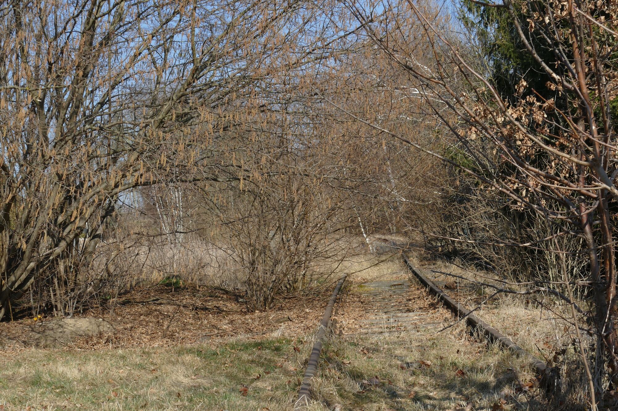
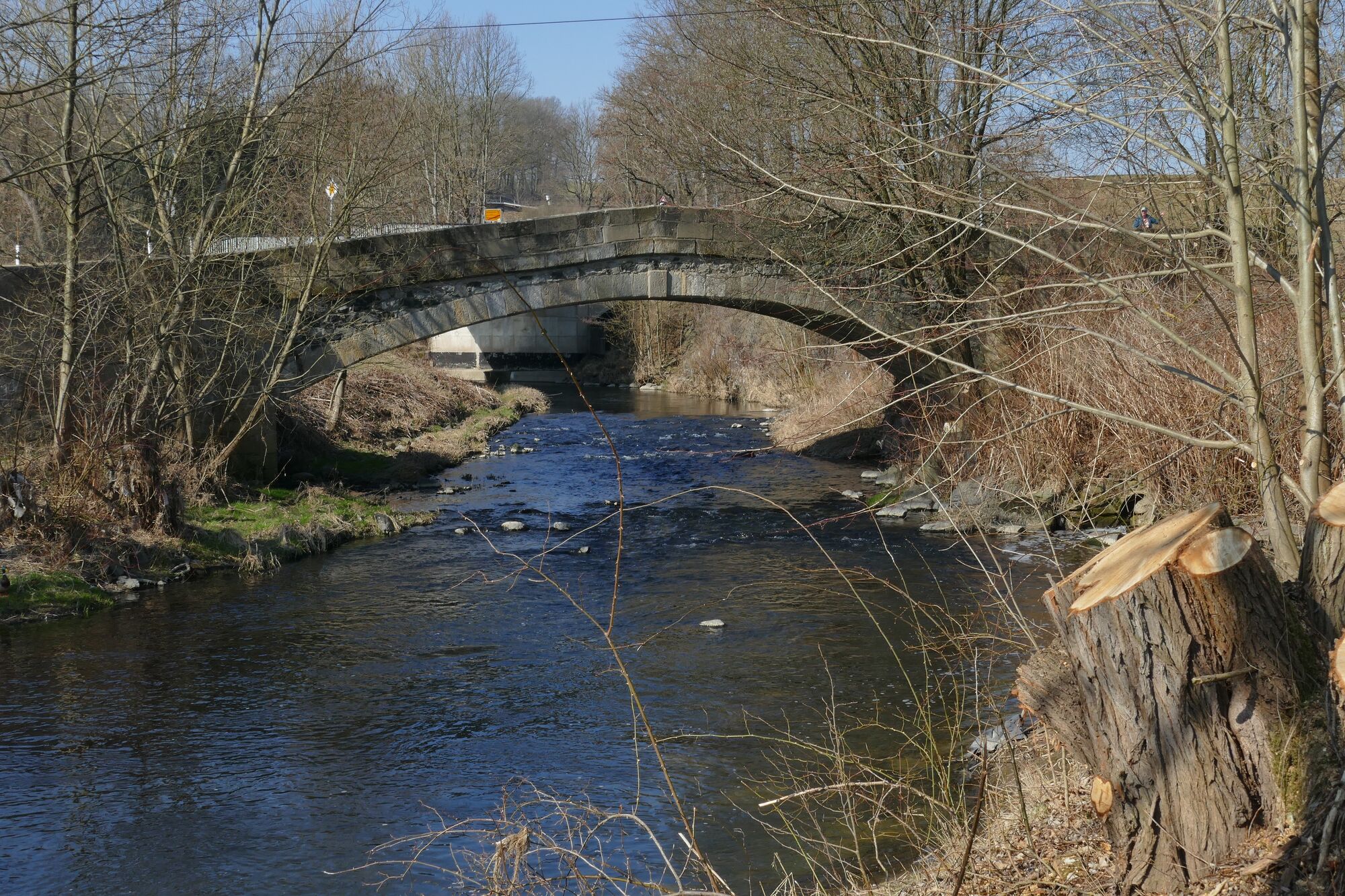
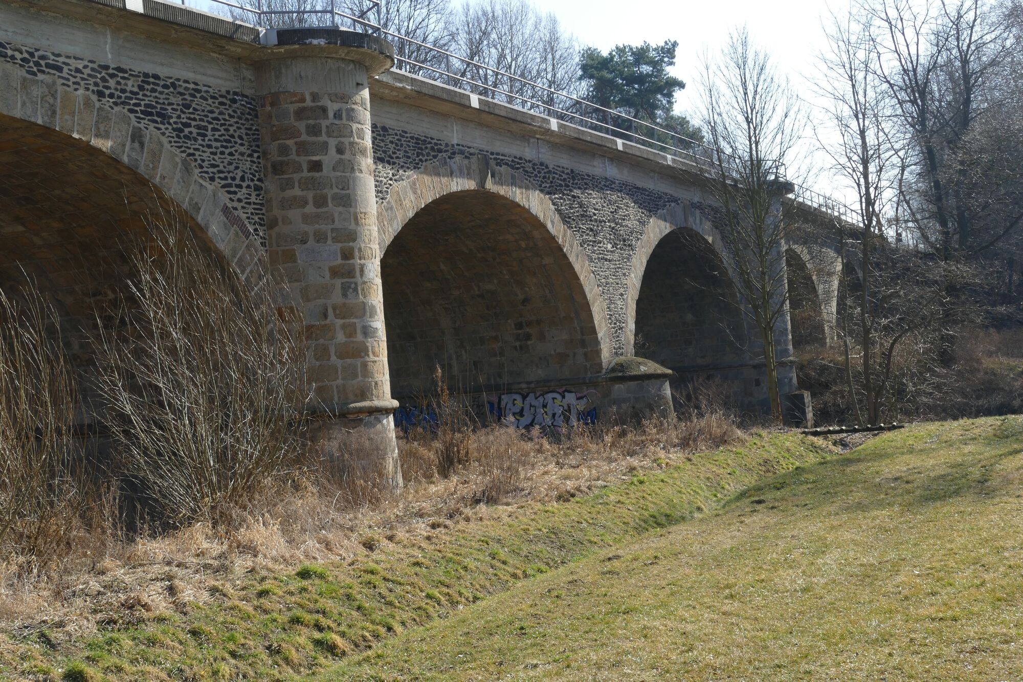
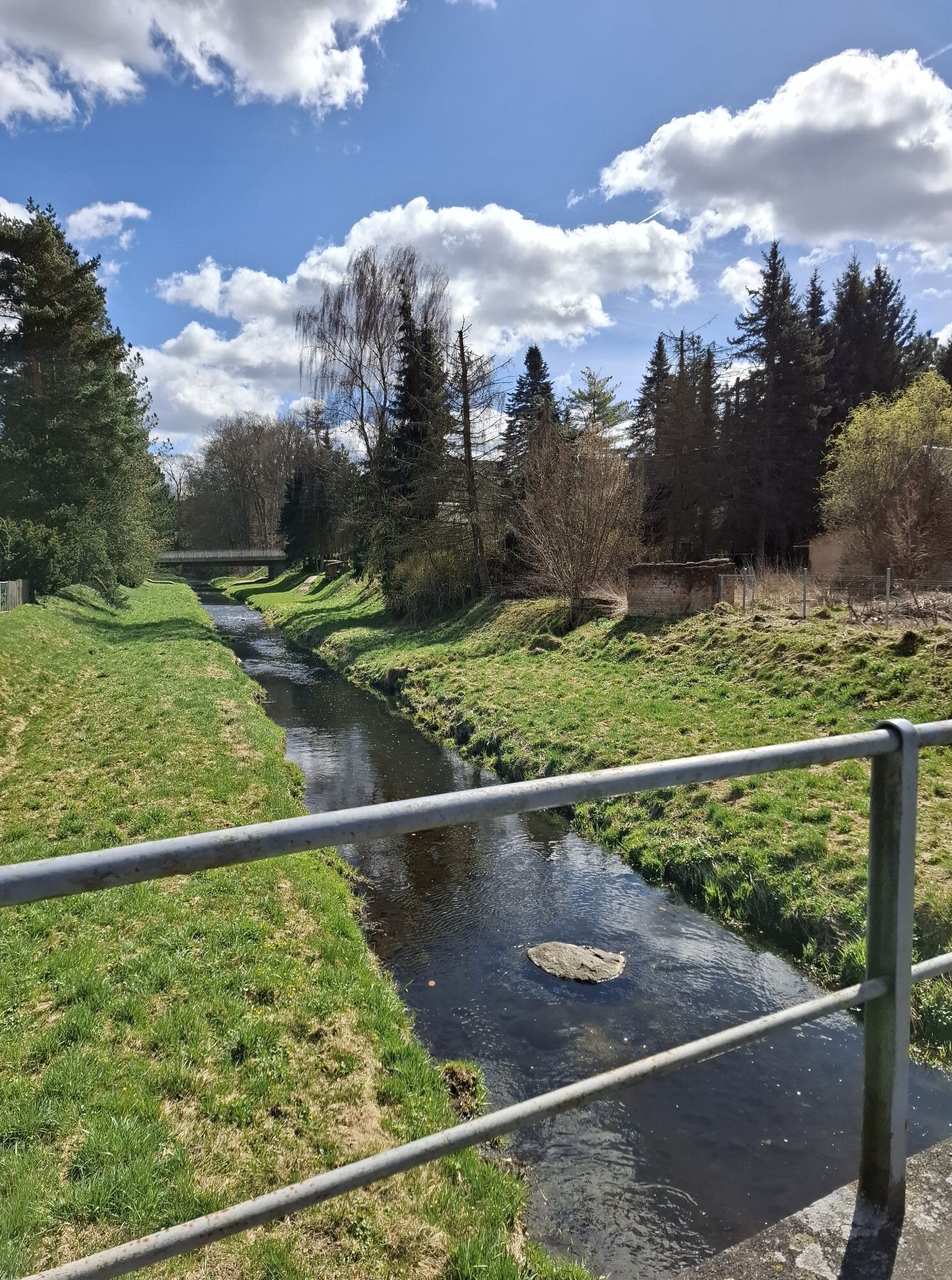
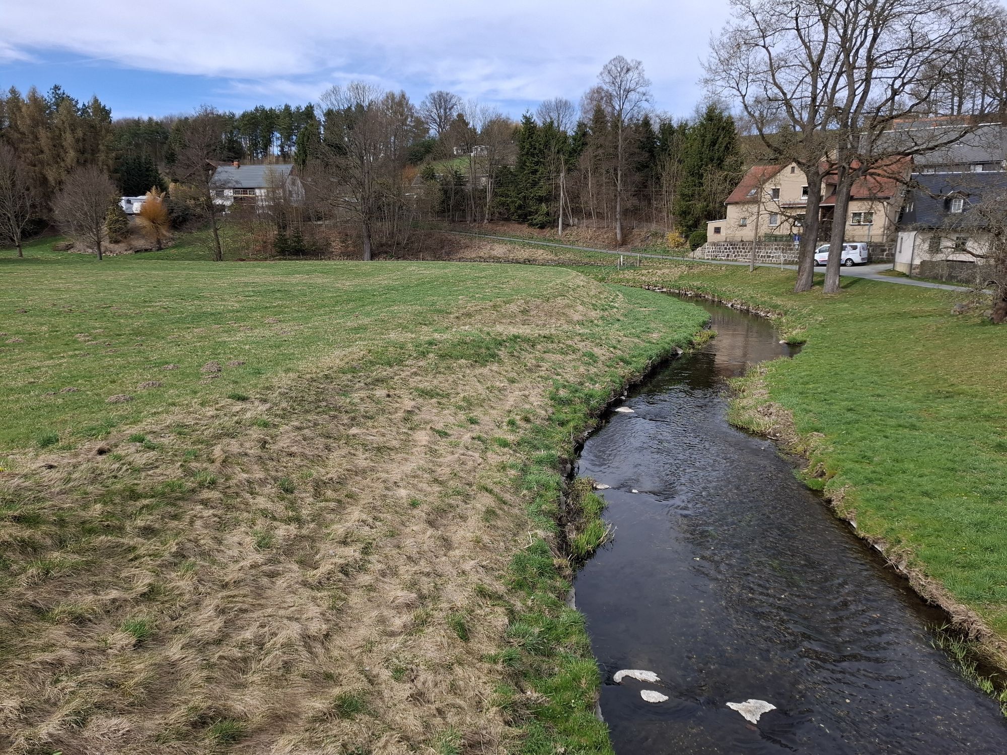
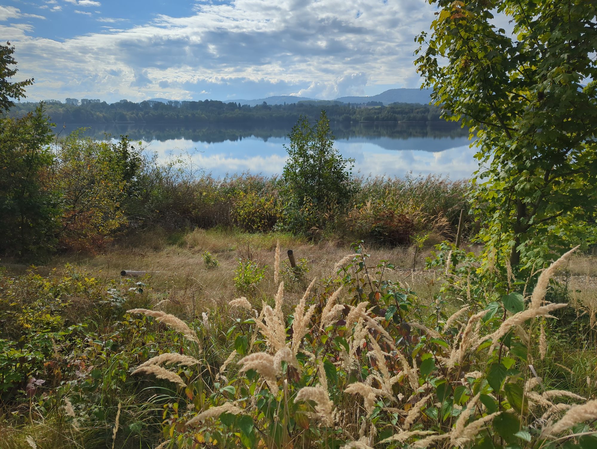
The “Mittellandroute“ cycle route starts in Zittau and leads through Sachsen and Thuringia before ending in the very west of Germany in Aachen. Zittau is a small town featuring baroque buildings and a...
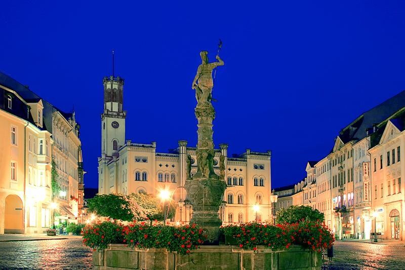
The “Mittellandroute“ cycle route starts in Zittau and leads through Sachsen and Thuringia before ending in the very west of Germany in Aachen. Zittau is a small town featuring baroque buildings and a special treasure: The Zittau Lenten Cloth dates back to the 15th century and is one of the most beautiful and significant in Europe. On its way to Dresden, the cycle route runs through the mellow hills of the Zittau mountains and past Ebersbach. This picture-perfect small town features a number of houses in the traditional building style of the region. Furthermore, one of the three sources of the river Spree is to be found here. After following the Spree Cycle Route for a bit, the trail continues on to Dresden where magnificent cultural treasures await visitors.

Oberlausitzer Bergland, Zittauer Gebirge, Nordböhmen – Wander- u. Radwanderkarte Sachsen-Kartographie GmbH ISBN 978-3868430196 Zittauer Gebirge – Wander- und Radwanderkarte mit Wintersportangaben Sachsen-Kartographie GmbH ISBN 978-3932281396 Oberlausitz-Naturpark Zittauer Gebirge – Rad- und Wanderkarte Verlag Publicpress ISBN 978-3899204889
Webové kamery z prehliadky
Získajte prehľad
Vždy naživo na mieste s viac ako 9 500 webovými kamerami. bergfex Ako používateľ Pro si teraz môžete pozrieť príslušné webové kamery pre mnohé zájazdy v aplikácii zájazdy z. Môžete si tak priamo prezerať aktuálne podmienky.
Obľúbené výlety v okolí
-
5,0
Löbau, Eisener Turm
strednáTuristika 7,17 km -
Oberlausitzer Bergweg - Sagenhafte Weitsichten!
strednáTuristika 128,2 km -
Barrierefreie Route rund um Sohland a.d. Spree
svetloTuristika 3,28 km -
Stauseetour Sohland a.d. Spree
strednáCyklistika 11,4 km -
Rundweg um Wehrsdorf und Sohland a.d. Spree
strednáTuristika 13,7 km -
Barrierefreie Route durch Herrnhut
strednáTuristika 4,23 km -
Oderwitzer Route entlang der Umgebindehäuser
svetloTuristika 17,5 km -
Naturlehrpfad Taubenberg - Taubenheim/Spree
strednáTuristika 5,33 km -
Spaziergang entlang der Oberlausitzer Umgebindehausstraße in Ebersbach-Neugersdorf; Tour 2
Turistika 3,99 km -
Spaziergang entlang der Oberlausitzer Umgebindehausstraße in Ebersbach-Neugersdorf; Tour 1
Turistika 2,88 km
Turistika a stopovanie


Nenechajte si ujsť ponuky a inšpiráciu na ďalšiu dovolenku
Vaša e-mailová adresa bol pridaný do poštového zoznamu.





