


Cycle tour to the Tyssa Walls
The route starts at Goethepark in Bad Gottleuba. Turn left into Hellensdorfer Straße and then left onto the winding road to the S173 to Hellendorf. Continue over the border. After the petrol station on...
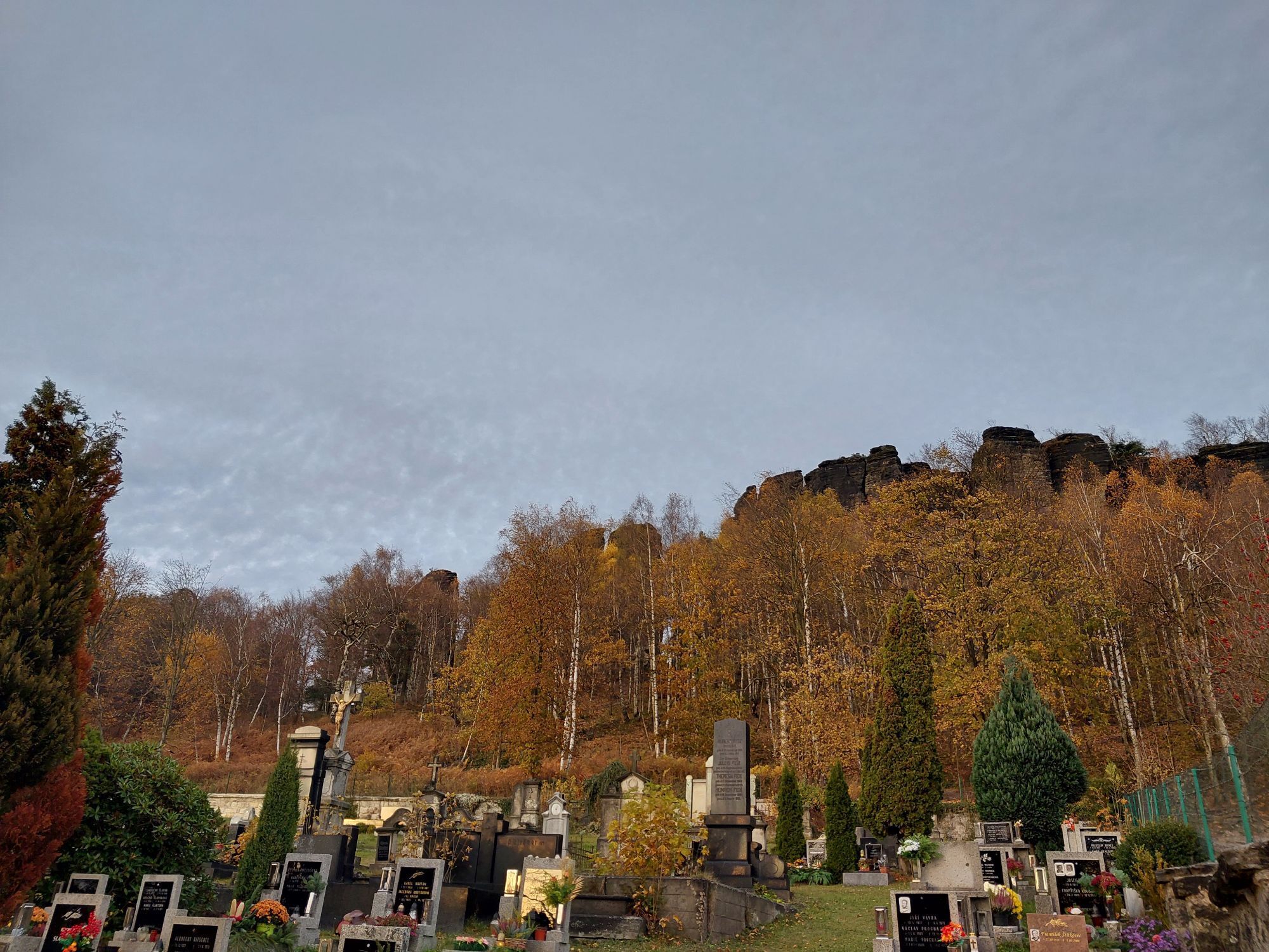
The route starts at Goethepark in Bad Gottleuba. Turn left into Hellensdorfer Straße and then left onto the winding road to the S173 to Hellendorf. Continue over the border. After the petrol station on the left, take the marked cycle path 3017, which leads to Rájec. In the village, continue along cycle route 3017 in the direction of Tisá until you reach cycle route 23 "Krušnohorská magistrála" (Ore Mountains Main Road). The rock faces near Tisá are up to 70 metres high - a paradise for naturalists, climbers and tourists alike. This unique rock formation is considered a rarity and is also known as a rock town. However, the area can only be explored without a bike. The return journey to Bad Gottleuba is via cycle route 23 to Petrovice, via Hellendorf and the winding road.
The tour runs mainly on roads and no separate cycle paths. Don't forget your badge!
Both FahrradBUS lines also run Monday to Friday without bicycle trailers.
The RVSOE bicycle buses can be used at weekends and on all public holidays between 1 April and 31 October. E-bike transport is no problem!
Obľúbené výlety v okolí
-
4,7
Pfaffenstein Sachsen/Deutschland
strednáTuristika 3,89 km -
5,0
Lilienstein
svetloTuristika 3,75 km -
5,0
Über den Malerweg durch die Hölle zum Papststein
strednáTuristika 10,1 km -
Trebnitzgrund to enjoy (Glashütte)
strednáTuristika 14,6 km -
5,0
Wanderung von Kleingießhübel über den kleinen und großen Zschirnstein.
strednáTuristika 13,4 km -
4,5
Malerweg, Etappe 7: Von Kurort Gohrisch bis Weißig (offizielle Version TV Sächsische Schweiz)
strednáTuristika 16,7 km -
5,0
Leupoldishain Nikolsdorfer Wände: Napoleonstein - Felsenlabyrinth - Spanghorn
strednáTuristika 11,2 km -
4,7
Gohrischstein Pabststein
svetloTuristika 5,85 km -
4,7
Bielatal: Durch die bizarre Felsenwelt mit vielen Aussichtspunkten
strednáTuristika 9,50 km -
4,0
Thürmsdorf - Großer Bärenstein - Bärensteinscheibe - Kleiner Bärenstein
strednáTuristika 10,1 km
Turistika a stopovanie


Nenechajte si ujsť ponuky a inšpiráciu na ďalšiu dovolenku
Vaša e-mailová adresa bol pridaný do poštového zoznamu.