







RR ERZ T17 From the Fichtelberg, across the Zschopau valley to the Markersbach pumped storage plant

Úroveň náročnosti: 4
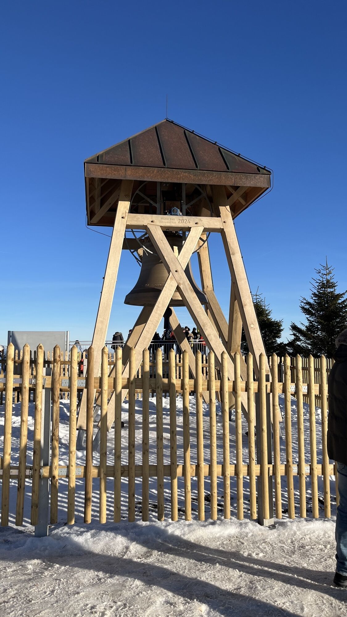
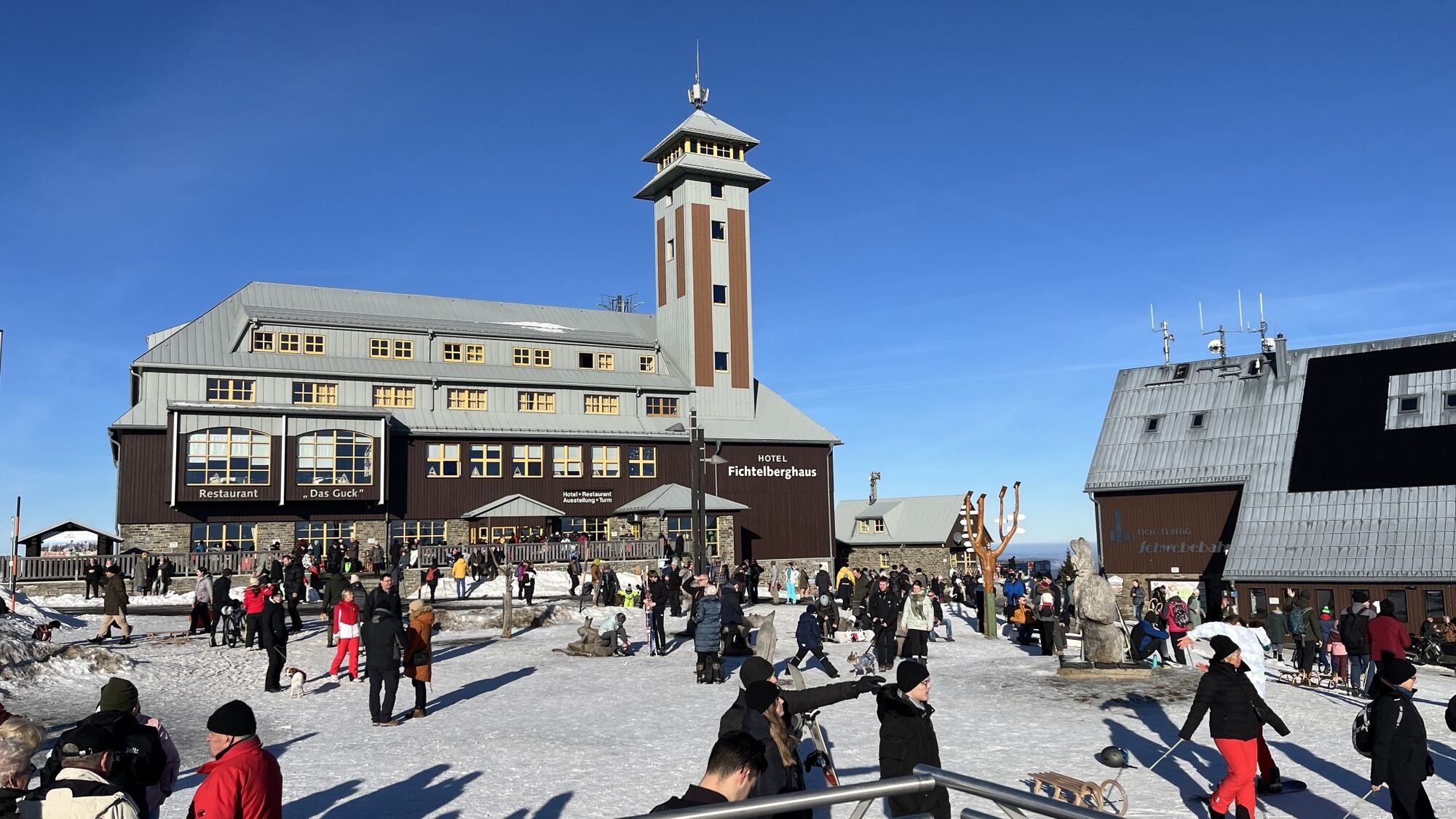
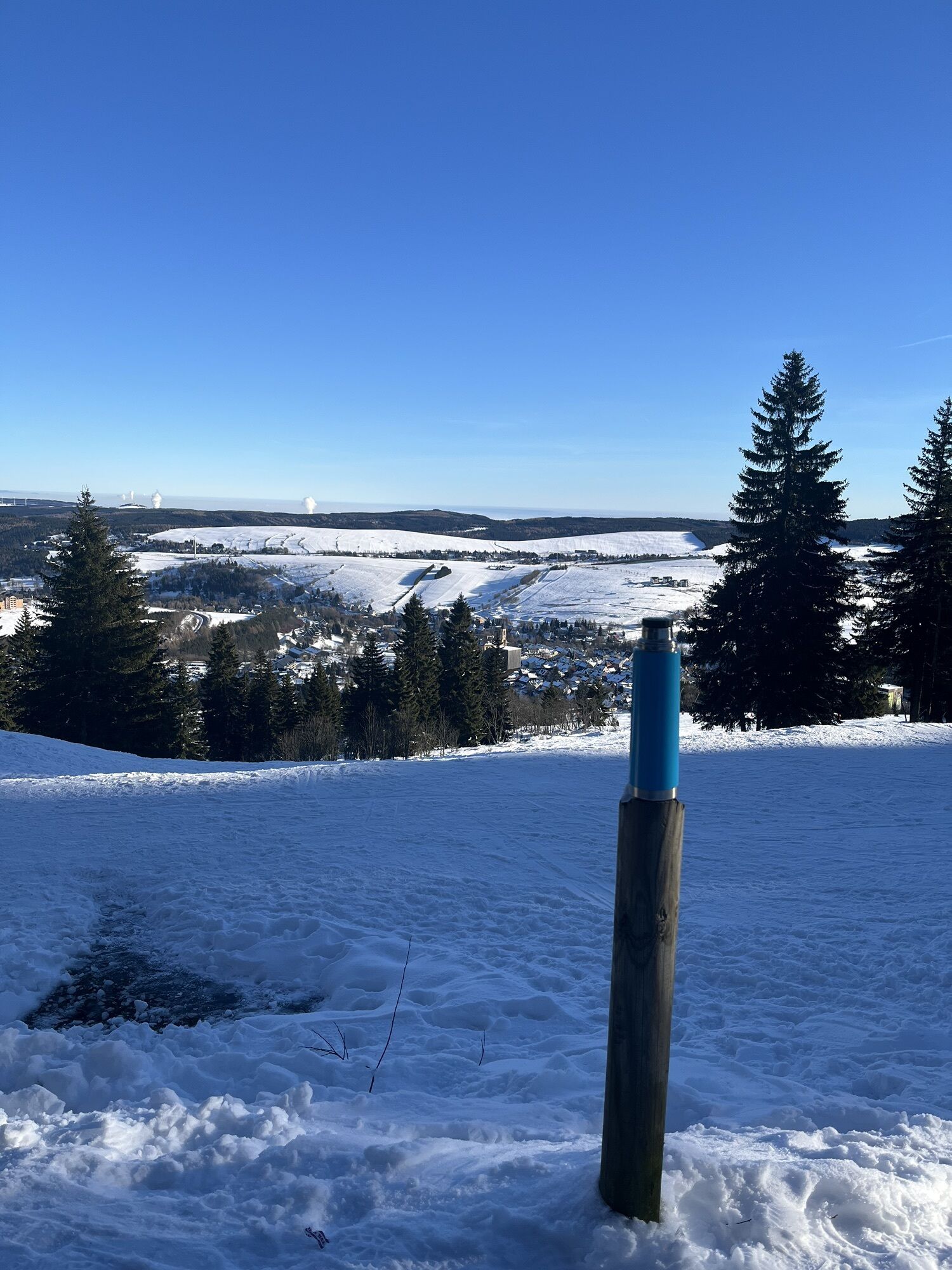
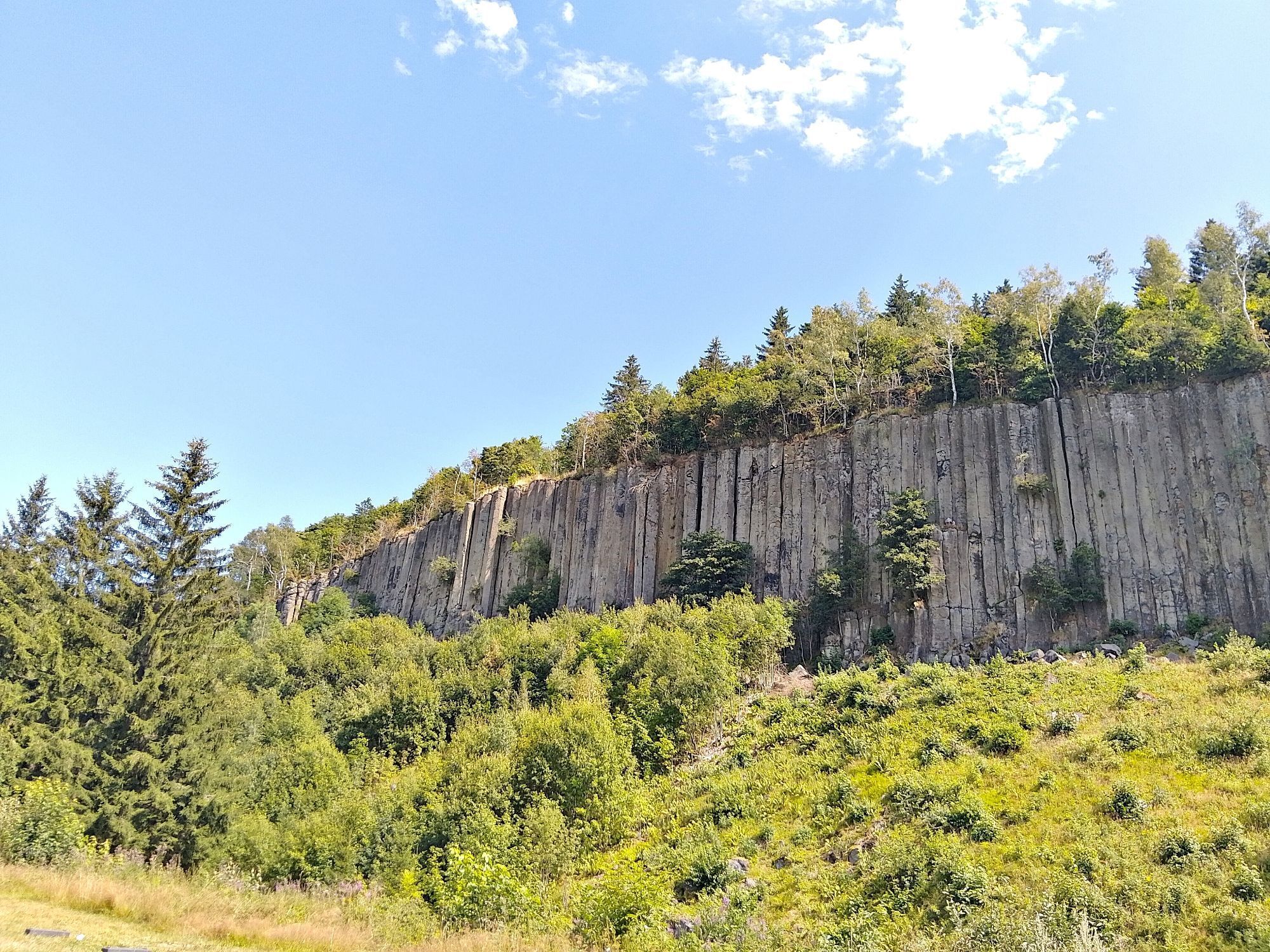
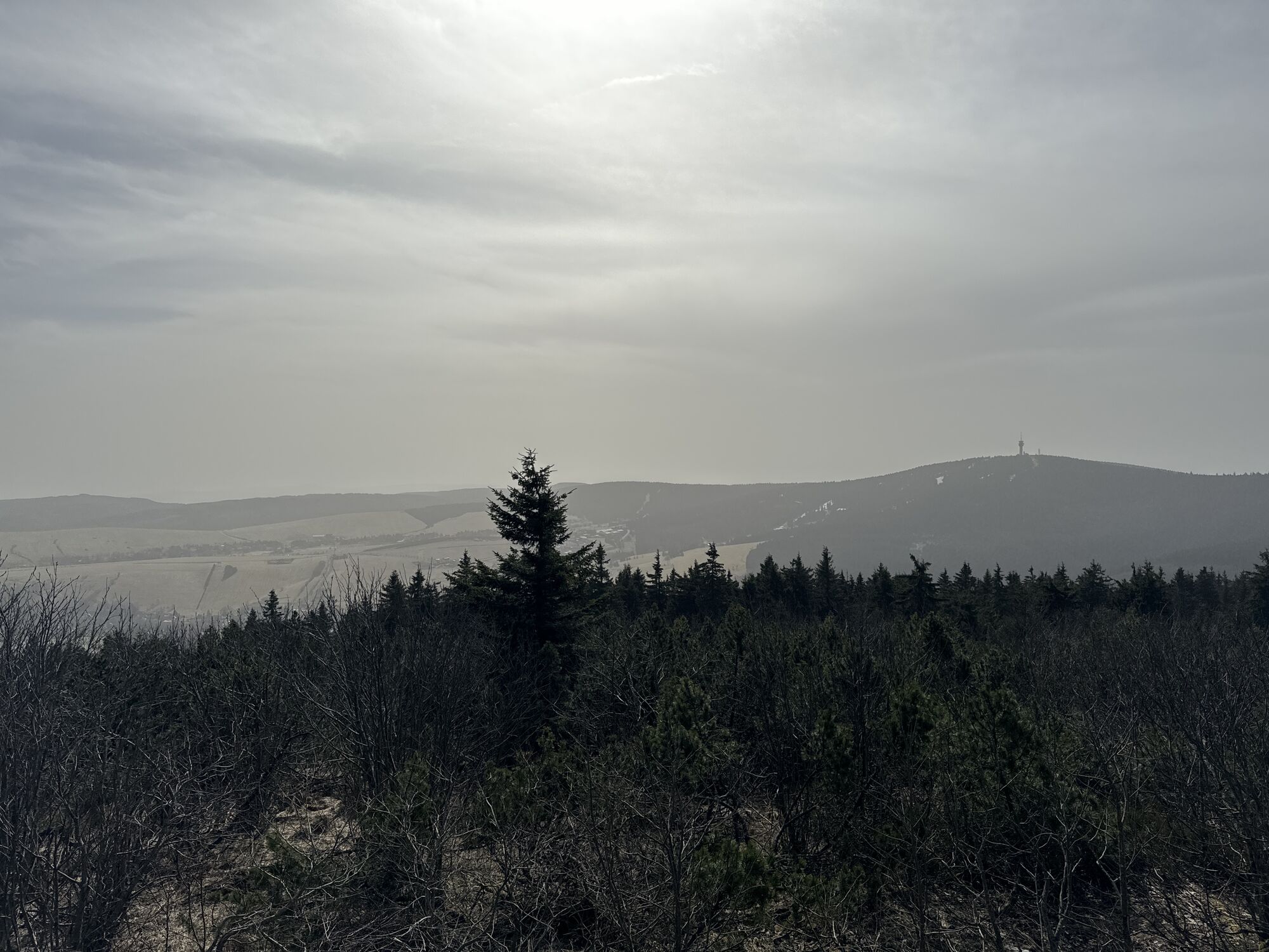
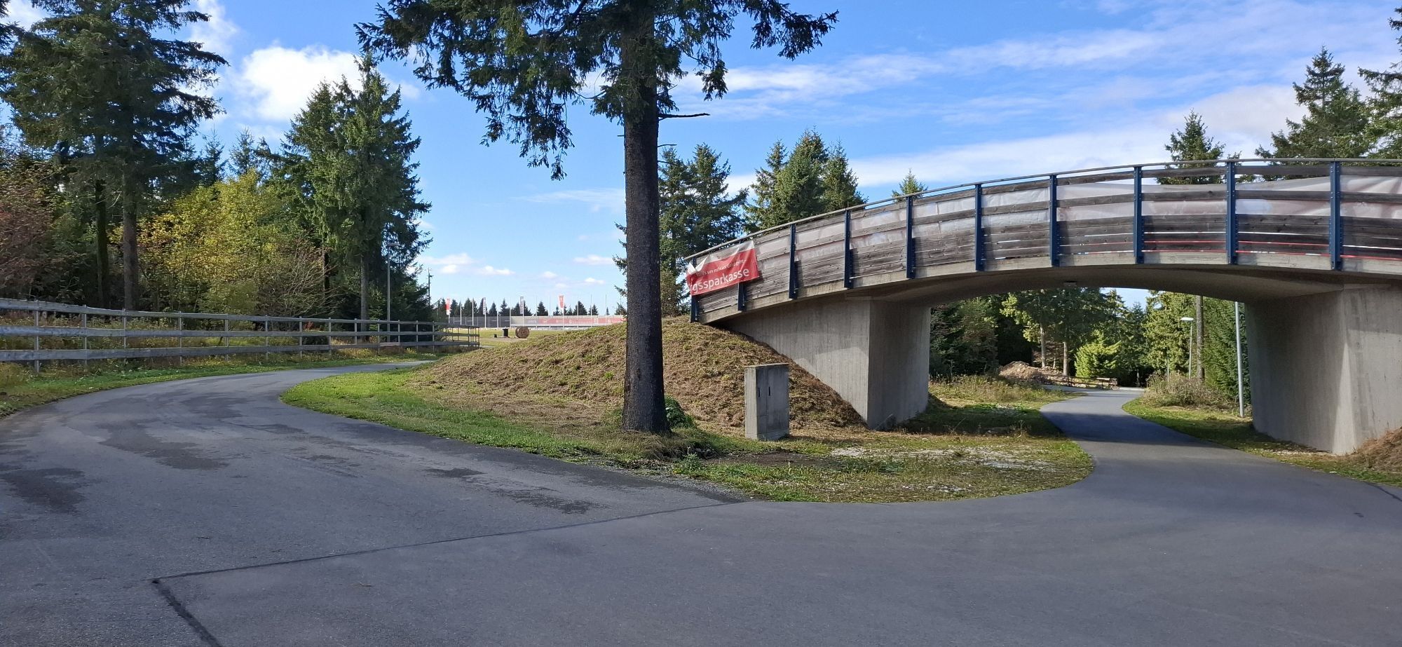
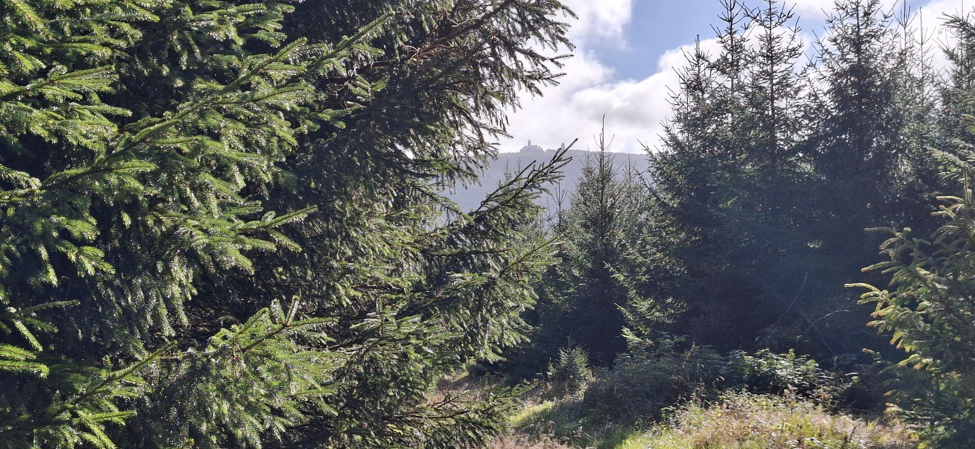
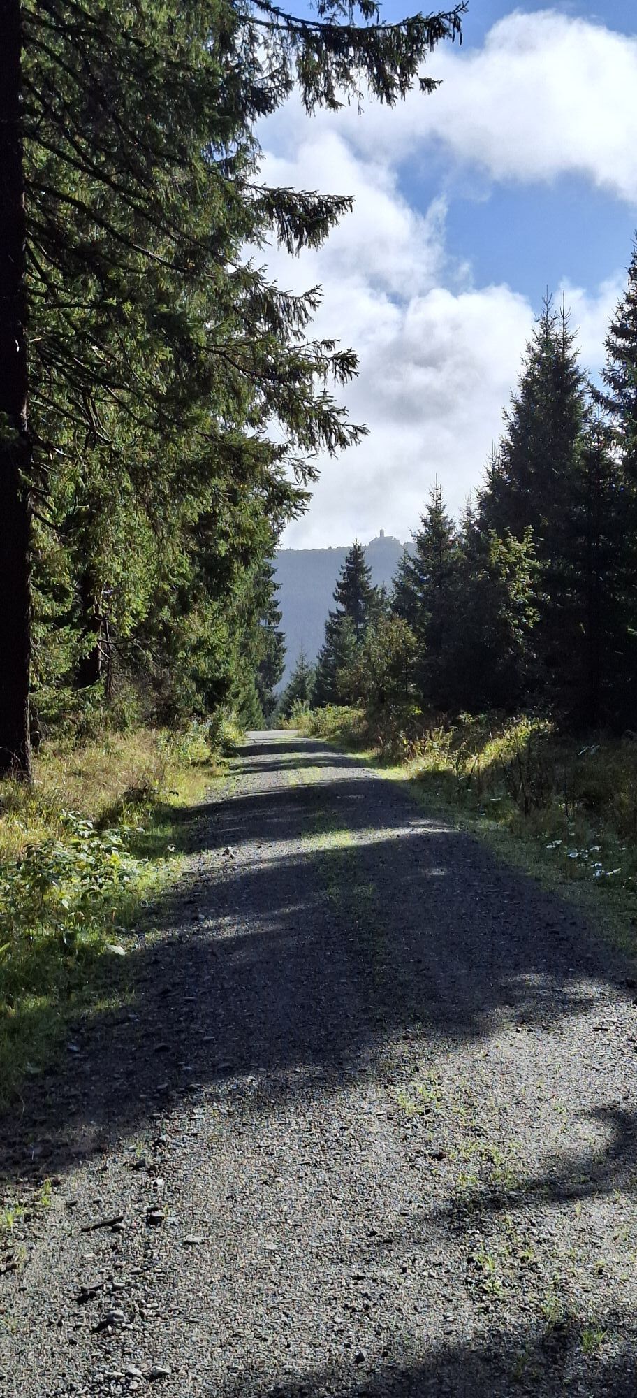
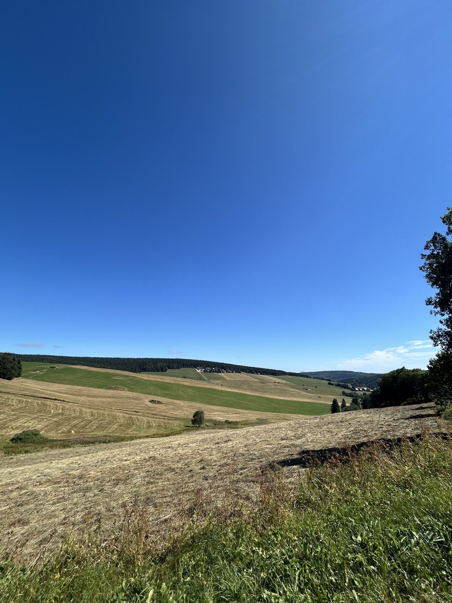
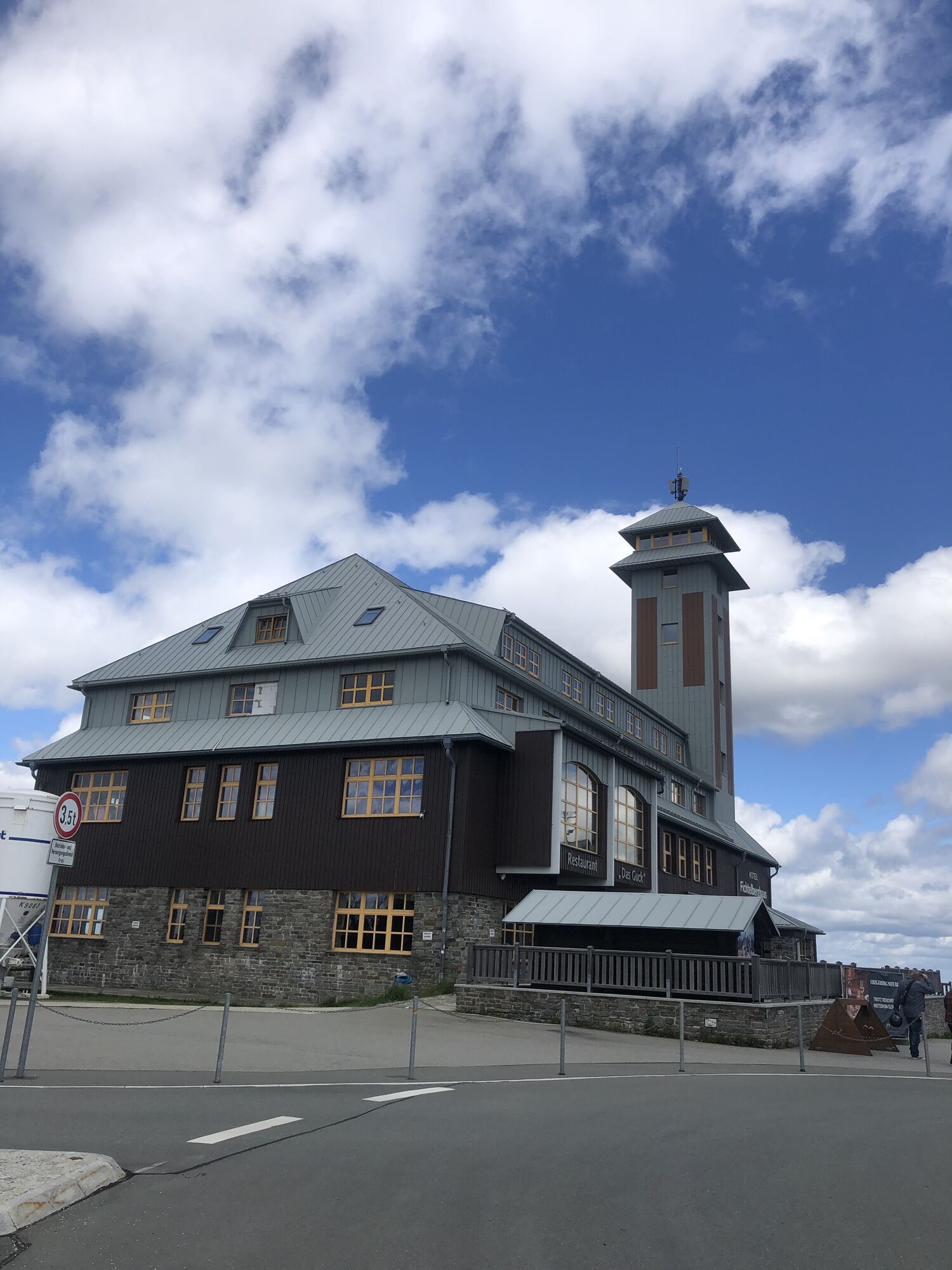
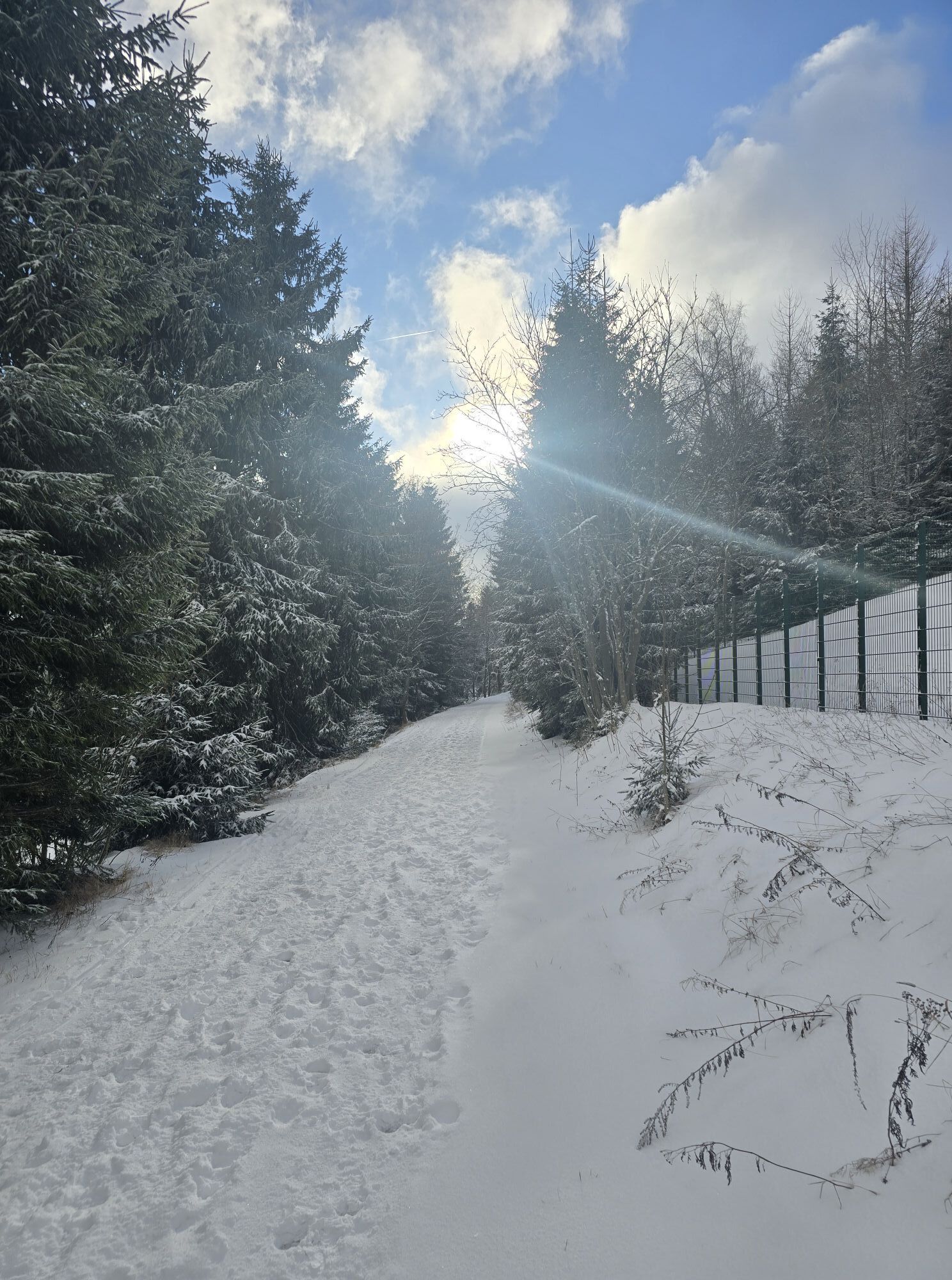
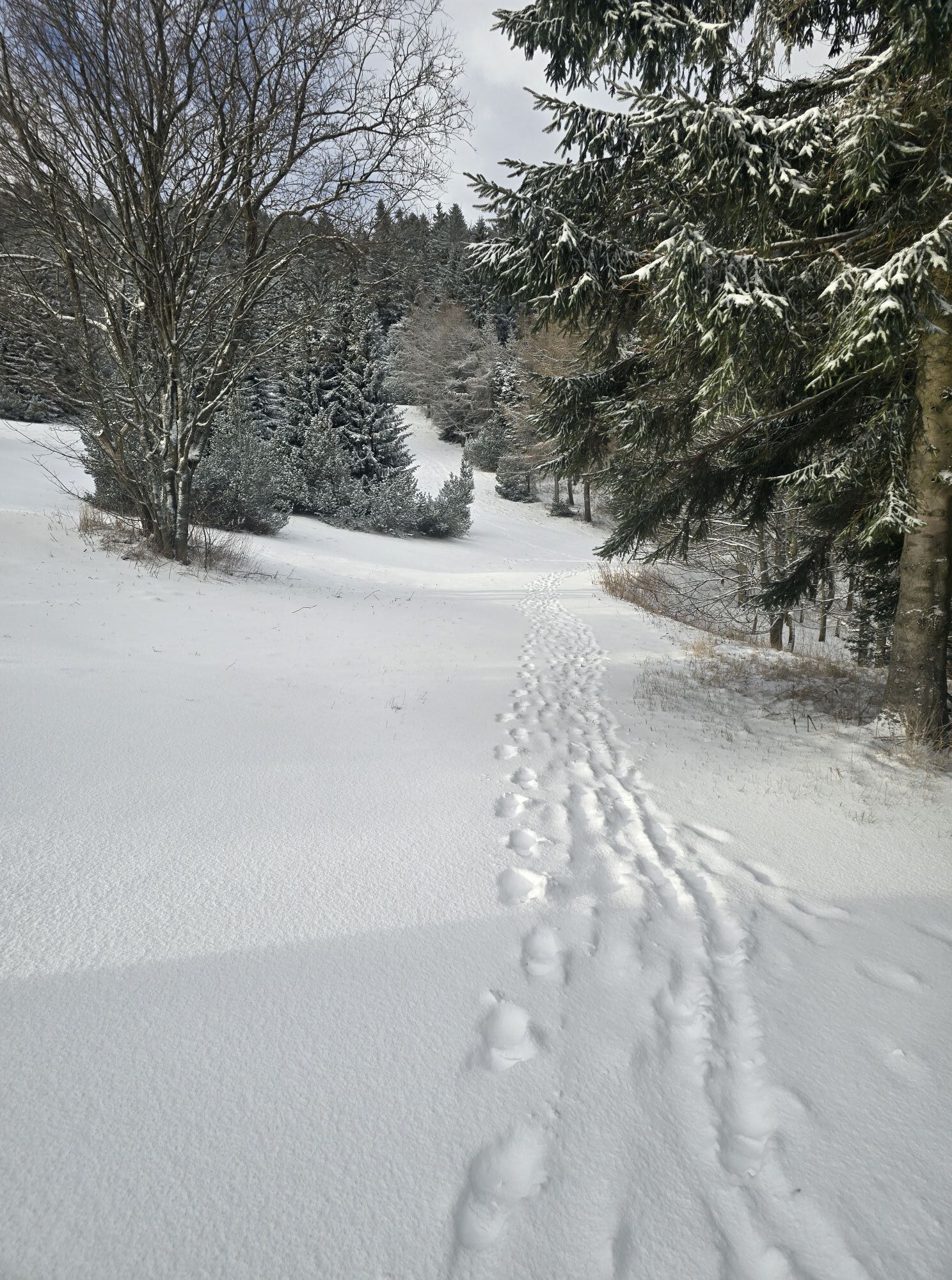

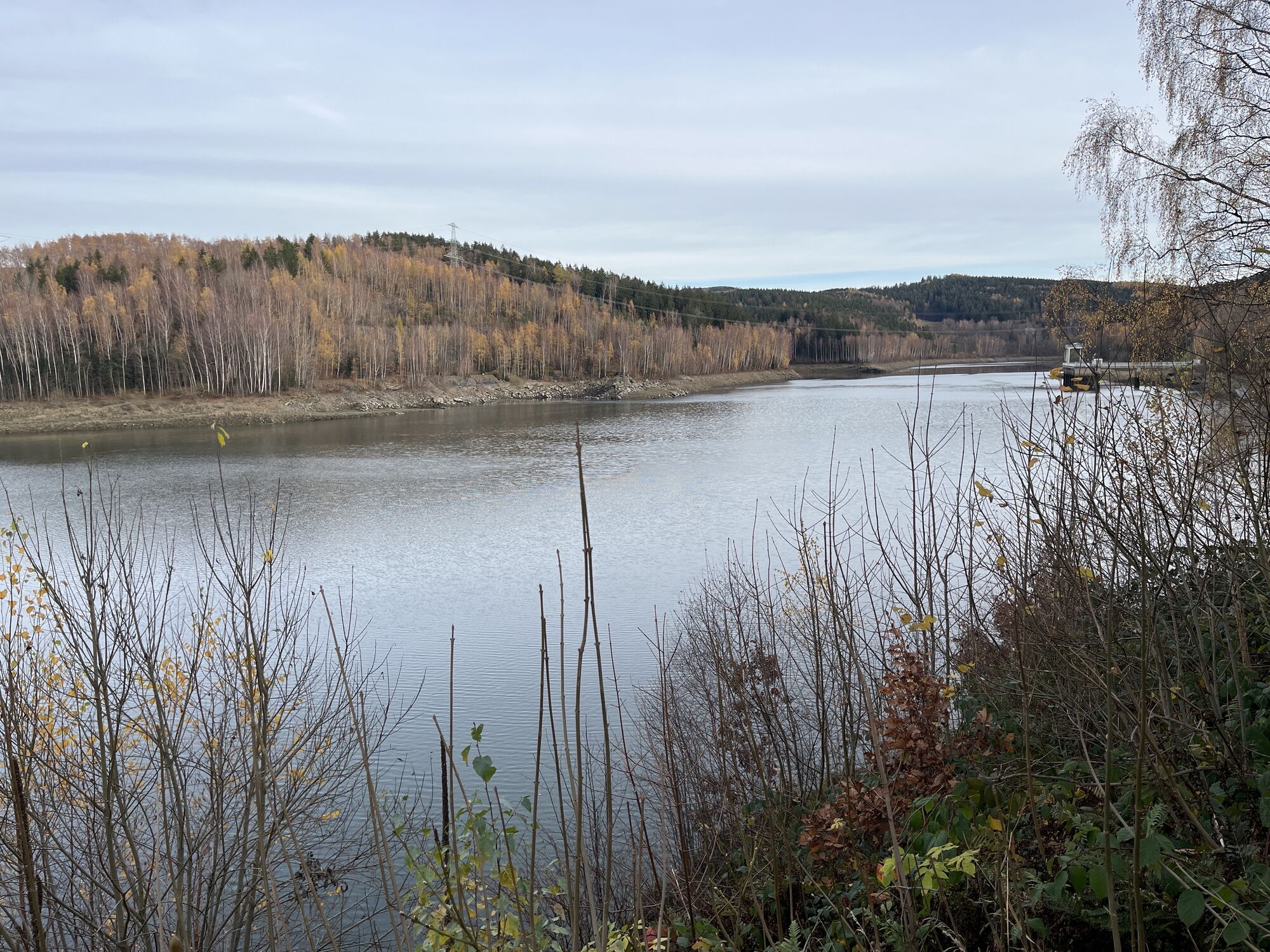
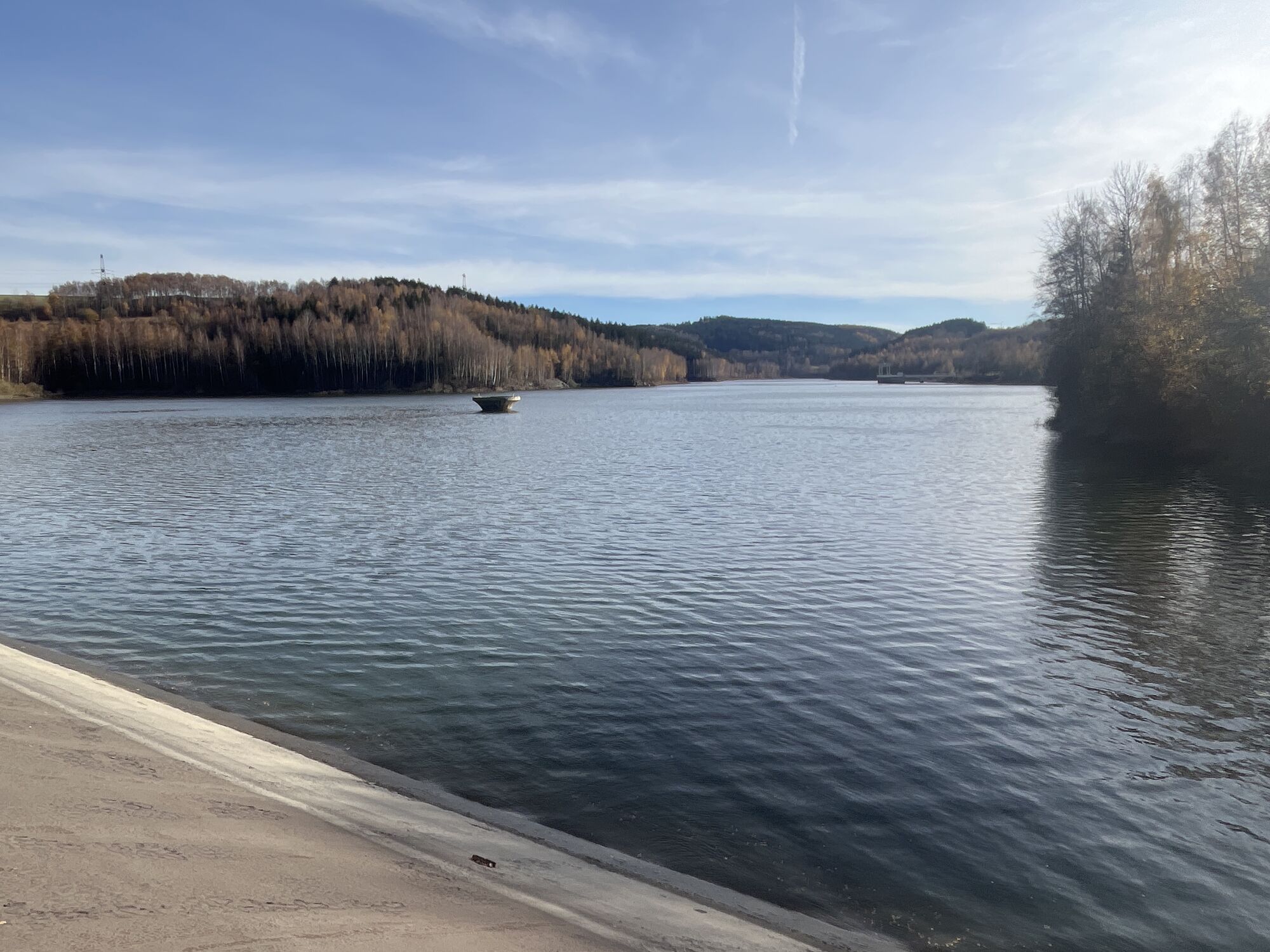
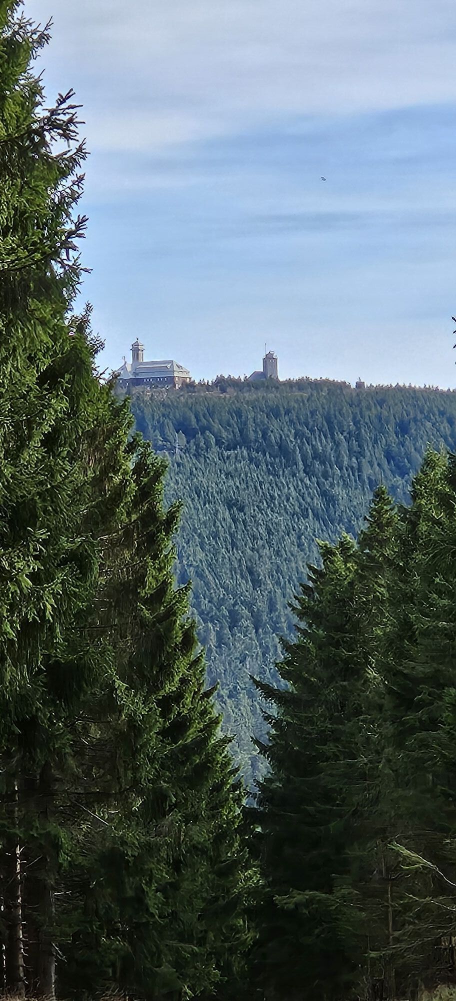
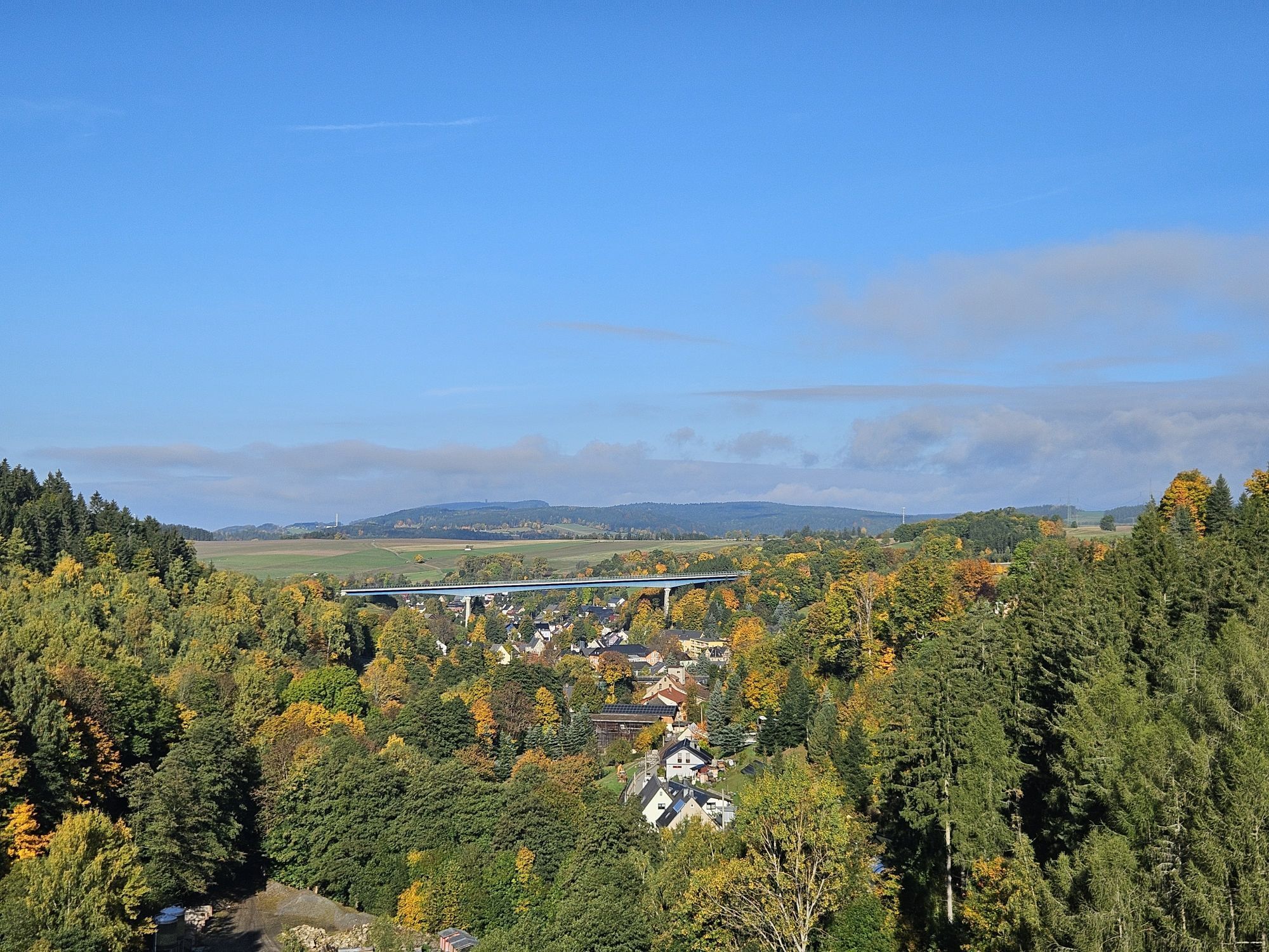
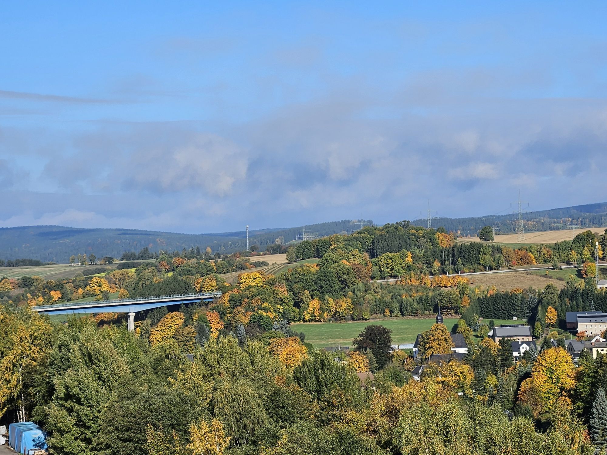
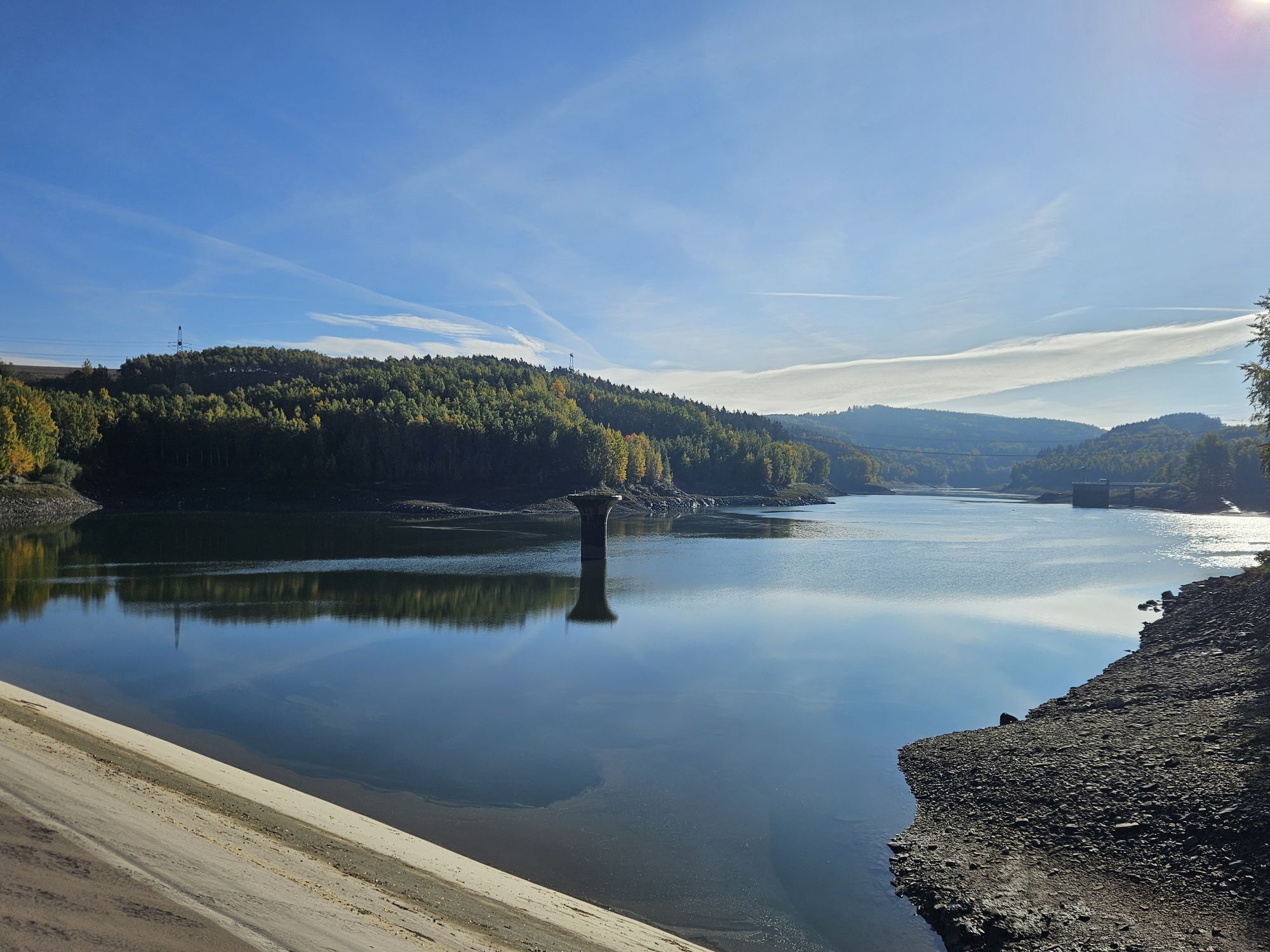

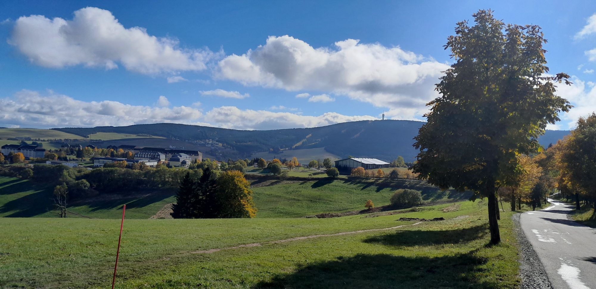
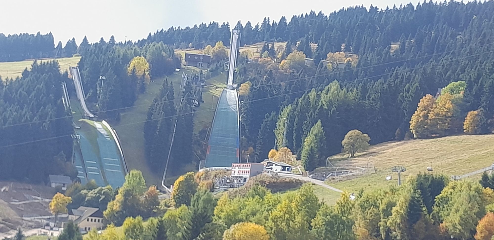

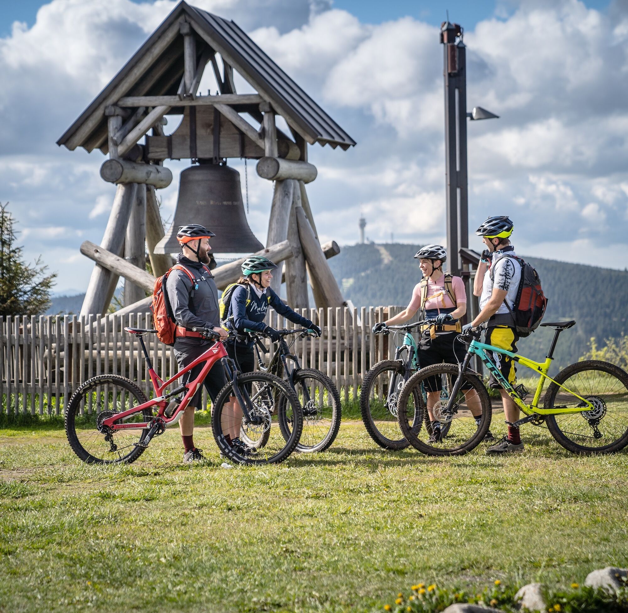
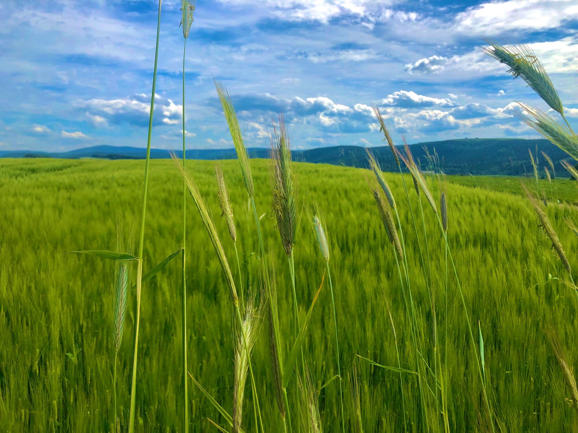
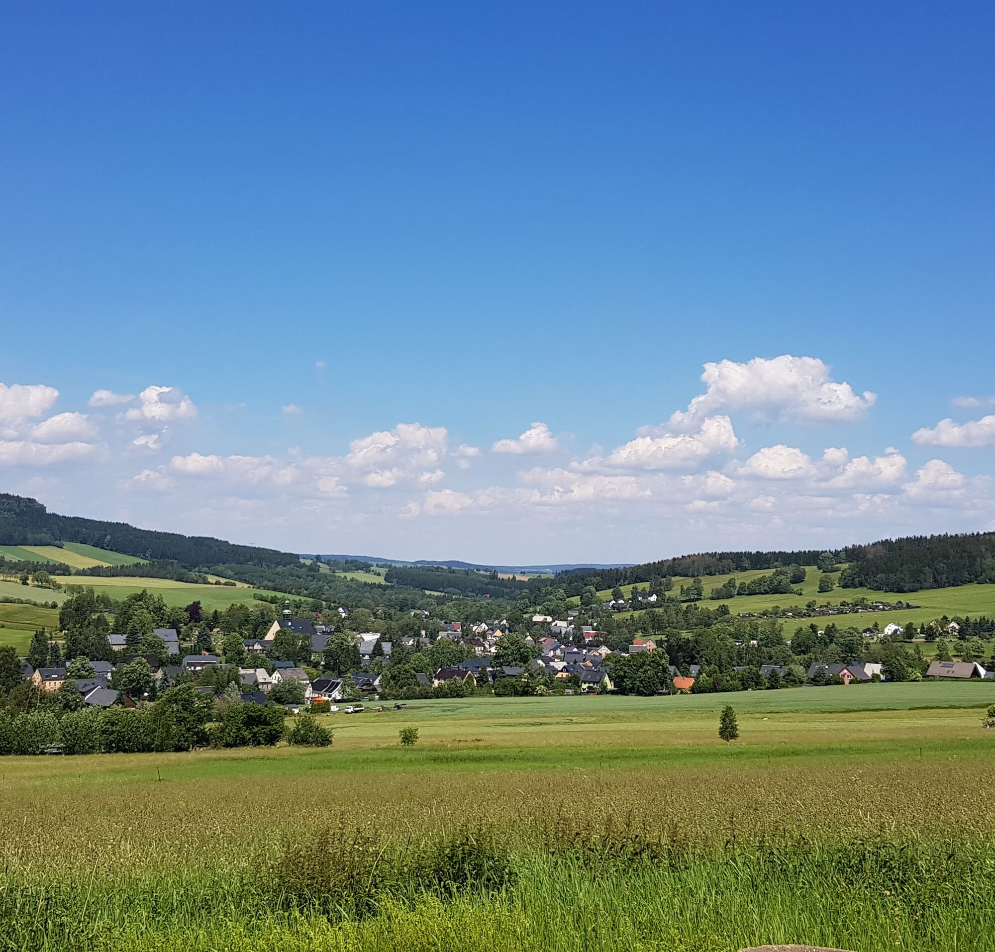
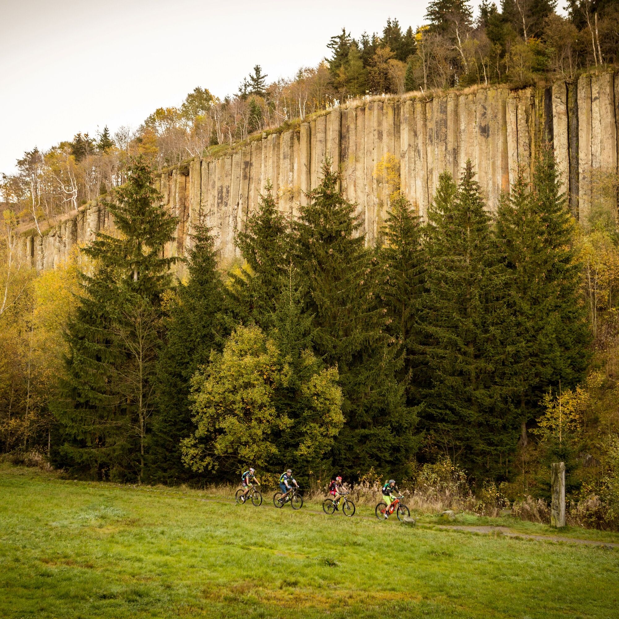

From the Oberwiesenthal steam train station, where the Fichtelberg Railway runs, we first follow the Zschopautal cycle path uphill. From Ausrücke, we then cycle downhill in the Fichtelberg forest through picturesque countryside via Crottendorf to Schlettau. Here we turn left onto the I-6, pass the castle with its park, which can of course be visited, and cycle to Scheibenberg with the table mountain of the same name and the huge basalt columns. For a longer stay, hiking trails lead up to the observation tower. We stay on the I-6 until the I-6/23 towards Markersbach is signposted at Emmlerweg, which we take to the center of the village and then come to one of the largest pumped storage plants in Europe. After many meters in altitude, we reach the Oberbecken reservoir via the circular cycle route, enjoy the view of up to 70 km and recharge our batteries for the further ascent through the Zweibach nature reserve via the Bächelhütte rest area to the ascent to the second highest peak in the Erzgebirge with the oldest cable car in Germany. A little way back up the ascent, we find the start of the Z schopautal cycle path, which leads us back to Oberwiesenthal station.
Áno
Fichtelbergbahn,
Oberwiesenthal
4
Webové kamery z prehliadky
-
Fichtelberg
-
Skilift Neudorf / Sehmatal
-
Fichtelberg Skihang
-
Klínovec II
-
Klínovec II
-
Fichtelberg Skihang
-
Fichtelberg Skihang
-
Fichtelberg Skihang
-
Fichtelberg Skihang
-
Blick zum Fichtelberg
-
Blick nach Oberwiesenthal
-
Fichtelberg Schwebebahn Kurort Oberwiesenthal
-
Annaberg-Buchholz
-
Talstation Fichtelberg
-
Fichtelberg
-
Boží Dar
-
Fichtelberg
-
Oberwiesenthal - Haus am Berg
-
Annaberg-Buchholz
-
Oberwiesenthal

Obľúbené výlety v okolí
-
4,0
Panorama trail Schwarzenberg
strednáTuristika 13,8 km -
Hotel Jens Weissflog - Kreuzbrückenfelsen - Fichtelberg - Hotel Jens Weissflog ,Oberwiesenthal, Deutschland Oberwiesenthal, Deutschland
svetloTuristika 9,71 km -
4,7
Schlettau circular hiking trail "On the steps of Ottomar Zahm"
strednáTuristika 11,0 km -
4,5
Zechengrund und Fichtelberg - Rundwanderung mit Ausblick
strednáTuristika 13,9 km -
4,0
Oberwiesenthal, Kreuzbrückenfelsen, Eisenberg, Oberwiesenthal
svetloTuristika 7,15 km -
Stoneman Miriquidi 162 kilometers of pure mountain bike emotion
ťažkéMountainbike 168,0 km -
4,0
Runde über den Fichtelberg
svetloTuristika 10,2 km -
In the footsteps of the Hundsmarterweibl
strednáTuristika 10,8 km -
Ehrenfriedersdorf-Waldgeisterweg-Greifensteine
svetloTuristika 7,33 km -
4,5
TK 9 - Wiesaer Höhenweg
strednáTuristika 9,46 km
Turistika a stopovanie


Nenechajte si ujsť ponuky a inšpiráciu na ďalšiu dovolenku
Vaša e-mailová adresa bol pridaný do poštového zoznamu.





