
RR ERZ T18 Large round tour Schwarzenberg - Johanngeorgenstadt - Fichtelberg
ťažké
Získajte túto prehliadku v mobilnom telefóne
RR ERZ T18 Large round tour Schwarzenberg - Johanngeorgenstadt - Fichtelberg
ťažké
Cyklistika
103,79
km
Naskenujte kód QR a spustite navigáciu v aplikácii bergfex


Turistika a stopovanie





RR ERZ T18 Large round tour Schwarzenberg - Johanngeorgenstadt - Fichtelberg
ťažké
Vzdialenosť
103,8
km
Trvanie
10:33
h
Ascent
1 788
hm
Hladina mora
392 -
1 211
m

Naviguj sa počas prehliadky v aplikácii
Nainštalujte si aplikáciu zadarmo a sledujte trasu vďaka GPS navigácii a sledovaniu polohy.
Využite službu „ bergfex “ už teraz v aplikácii
Naskenuj QR kód pomocou fotoaparátu
Ak máte aplikáciu nainštalovanú, obsah sa otvorí priamo. Ak aplikáciu ešte nemáte, budete presmerovaní na stránku, kde si ju môžete bezplatne stiahnuť.
Úroveň náročnosti: 4
Stiahnutie skladby
RR ERZ T18 Large round tour Schwarzenberg - Johanngeorgenstadt - Fichtelberg
ťažké
Cyklistika
103,79
km

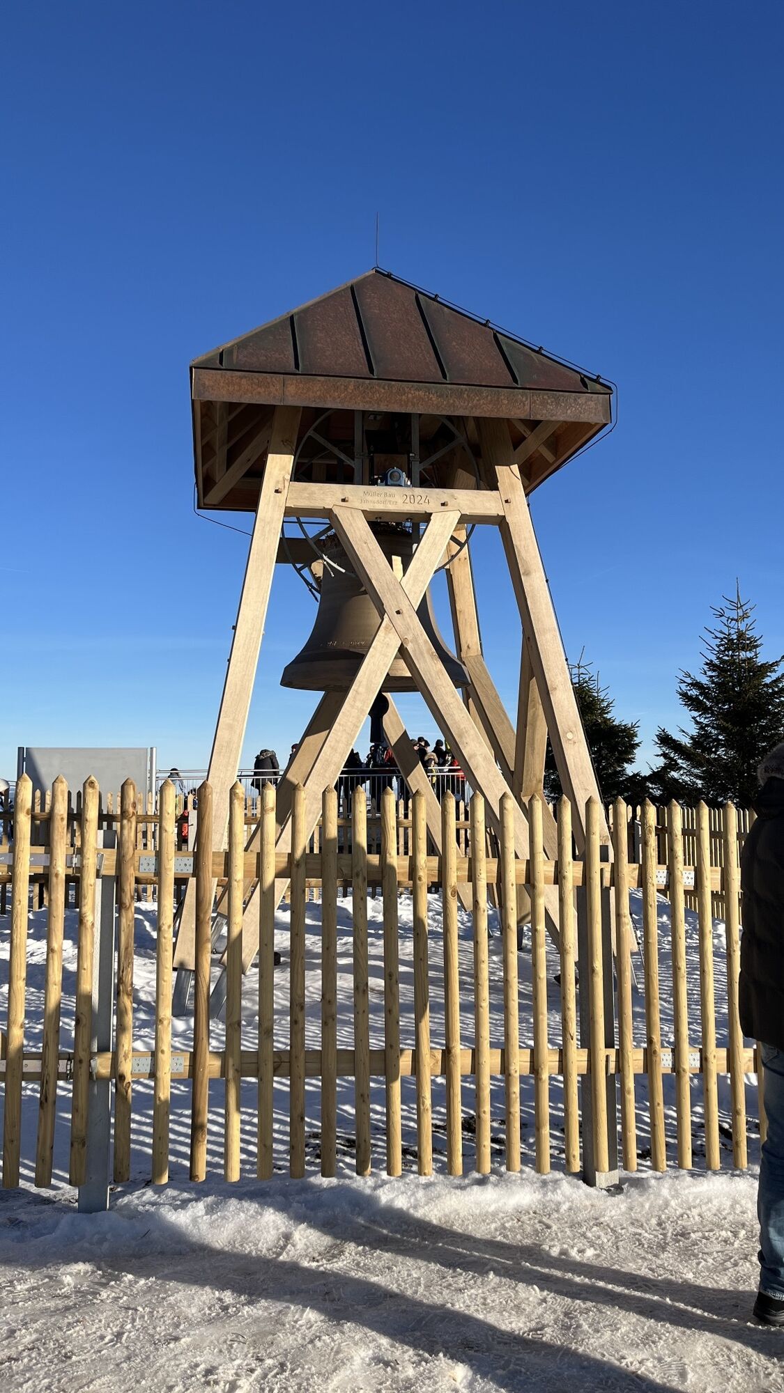
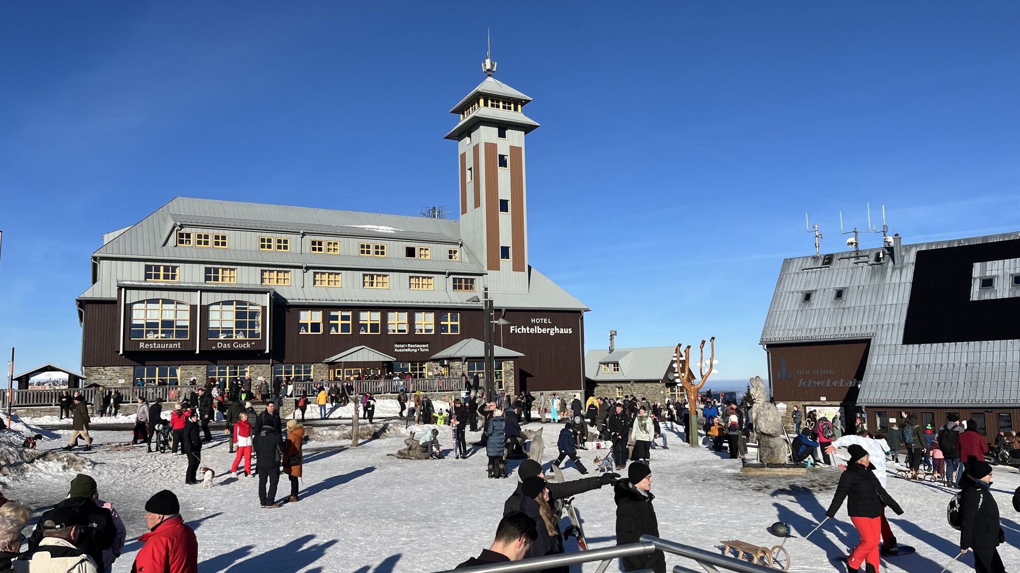
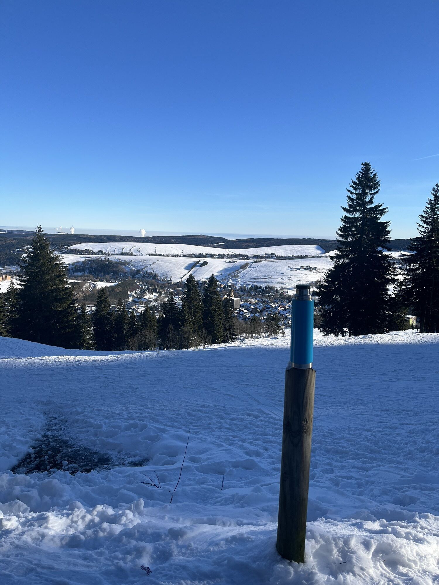
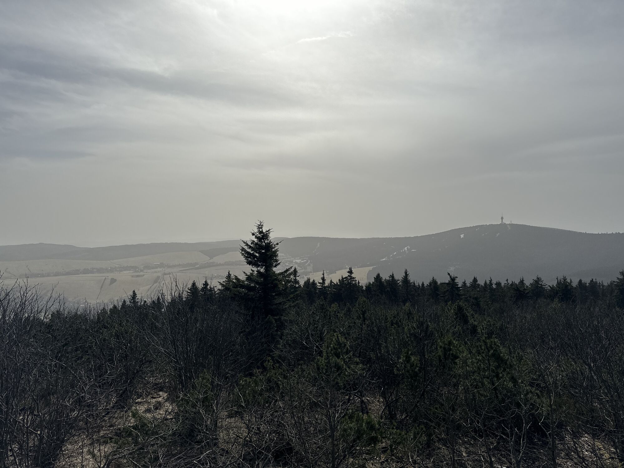


Trasa
Schwarzenberg/Erzgebirge
(468 m)
Mesto
0,2 km
Evangelisch-Lutherische Kirche Blauenthal
(484 m)
Miesto uctievania
20,4 km
Potůčky
(695 m)
Dedina
42,5 km
Blatenský vrch
(1 043 m)
Summit
48,0 km
Fichtelberg
(1 215 m)
Summit
71,7 km
Kleiner Fichtelberg
(1 206 m)
Summit
72,6 km
Johanniskapelle
(425 m)
Miesto uctievania
101,4 km
Trasa
RR ERZ T18 Large round tour Schwarzenberg - Johanngeorgenstadt - Fichtelberg
ťažké
Cyklistika
103,79
km
Schwarzenberg/Erzgebirge
(468 m)
Mesto
0,2 km
Schwarzenberg (Erzgebirge)
(427 m)
Železničná stanica
0,9 km
Valentin
(415 m)
Reštaurácia
1,1 km
Sachsenfeld
(415 m)
Susedstvo
1,8 km
Gaststätte "Zur Bahnhofsstraße"
(403 m)
Reštaurácia
5,1 km
Galerie
(442 m)
Reštaurácia
6,0 km
Lauter
(464 m)
Mesto
6,2 km
Blauenthal
(476 m)
Zúčtovanie
20,2 km
Evangelisch-Lutherische Kirche Blauenthal
(484 m)
Miesto uctievania
20,4 km
Blauenthaler Wasserfall
(548 m)
Vodopád
20,6 km
Wildenthal
(730 m)
Dedina
28,2 km
Gast-Stube Am Rölzhang
(736 m)
Reštaurácia
28,6 km
Oberwildenthal
(774 m)
Zúčtovanie
30,4 km
Nasse Brücke
(858 m)
Koridor/terén
32,4 km
Henneberg
(920 m)
Reštaurácia
36,8 km
Oberjugel
(833 m)
Susedstvo
38,7 km
Wanderheim
(844 m)
Reštaurácia
38,8 km
Unterjugel
(726 m)
Susedstvo
40,9 km
Altstadt
(756 m)
Susedstvo
41,8 km
Potůčky
(695 m)
Dedina
42,5 km
Stráň
(708 m)
Zúčtovanie
42,6 km
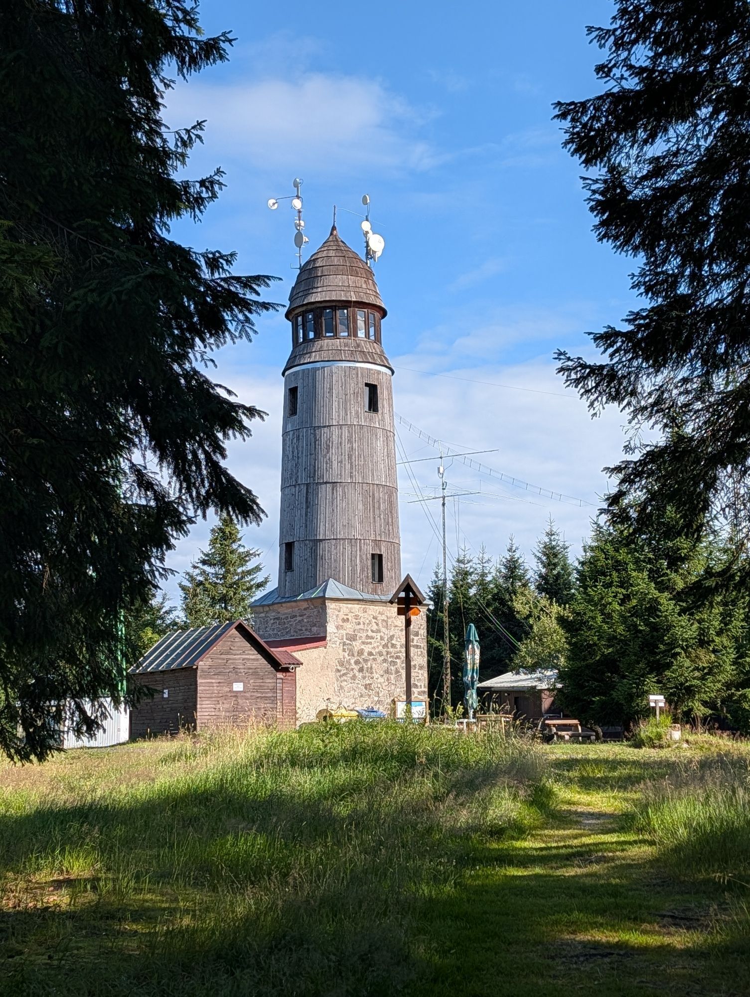
Rozhledna Blatenský vrch
(1 044 m)
Uhol pohľadu
47,8 km
Blatenský vrch
(1 043 m)
Summit
48,0 km
Bludná
(1 011 m)
Zúčtovanie
50,0 km
Pivovar Ryžovna
(968 m)
Reštaurácia
52,2 km
Ryžovna
(970 m)
Zúčtovanie
52,4 km
Myslivny
(957 m)
Zúčtovanie
54,2 km
Boží Dar
(1 028 m)
Dedina
58,8 km
svatá Anna
(1 022 m)
Miesto uctievania
59,4 km
Kurort Oberwiesenthal
(918 m)
Mesto
63,2 km
Basislager Fichtelberg
(981 m)
Reštaurácia
67,4 km
Sehma-Quelle
(1 030 m)
Zdroj
68,2 km
Erzgebirgsstuben
(1 219 m)
Reštaurácia
71,7 km
Fichtelberg
(1 215 m)
Summit
71,7 km
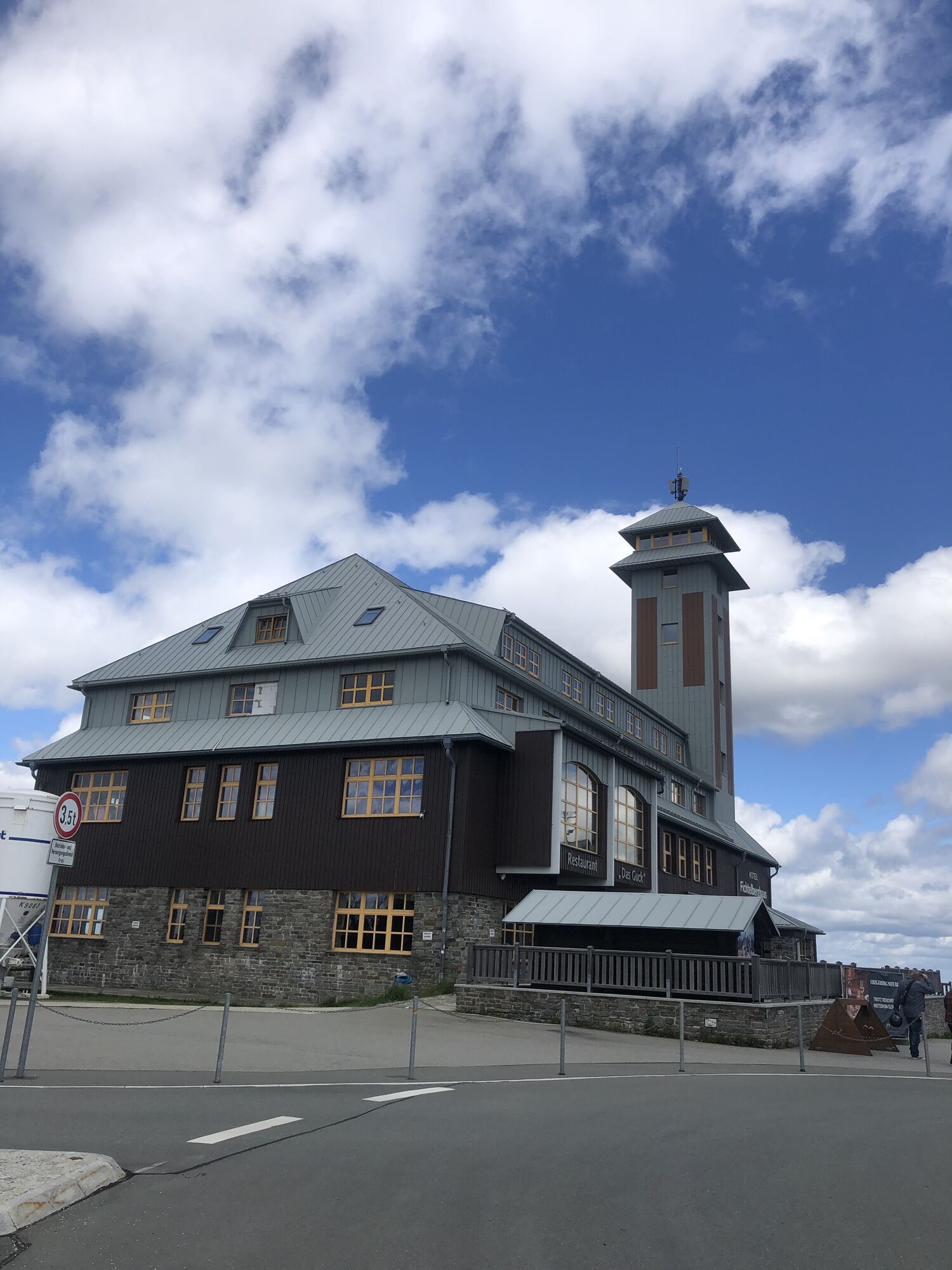
Das Guck
(1 219 m)
Reštaurácia
71,7 km
Kleiner Fichtelberg
(1 206 m)
Summit
72,6 km
Dreiberg
(960 m)
Summit
79,7 km
Markersbach
(497 m)
Dedina
93,4 km
Langenberg
(482 m)
Dedina
96,8 km
St. Katharina
(479 m)
Reštaurácia
97,3 km
Kath. Kirche "Heilige Familie"
(438 m)
Miesto uctievania
99,8 km
Wildenau
(425 m)
Susedstvo
100,4 km
Johanniskapelle
(425 m)
Miesto uctievania
101,4 km
Sachsenfeld
(415 m)
Susedstvo
102,0 km
Valentin
(415 m)
Reštaurácia
102,4 km
Schwarzenberg (Erzgebirge)
(427 m)
Železničná stanica
102,7 km
Schwarzenberg/Erzgebirge
(468 m)
Mesto
103,5 km
Autor
Poskytuje Erlebnisheimat Erzgebirge
Prehliadku RR ERZ T18 Large round tour Schwarzenberg - Johanngeorgenstadt - Fichtelberg zabezpečuje outdooractive.com.


Informácie o trase
Trasa
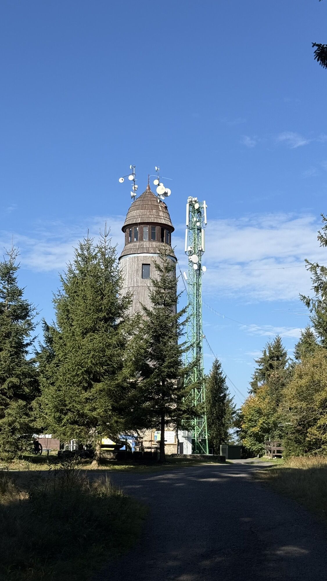
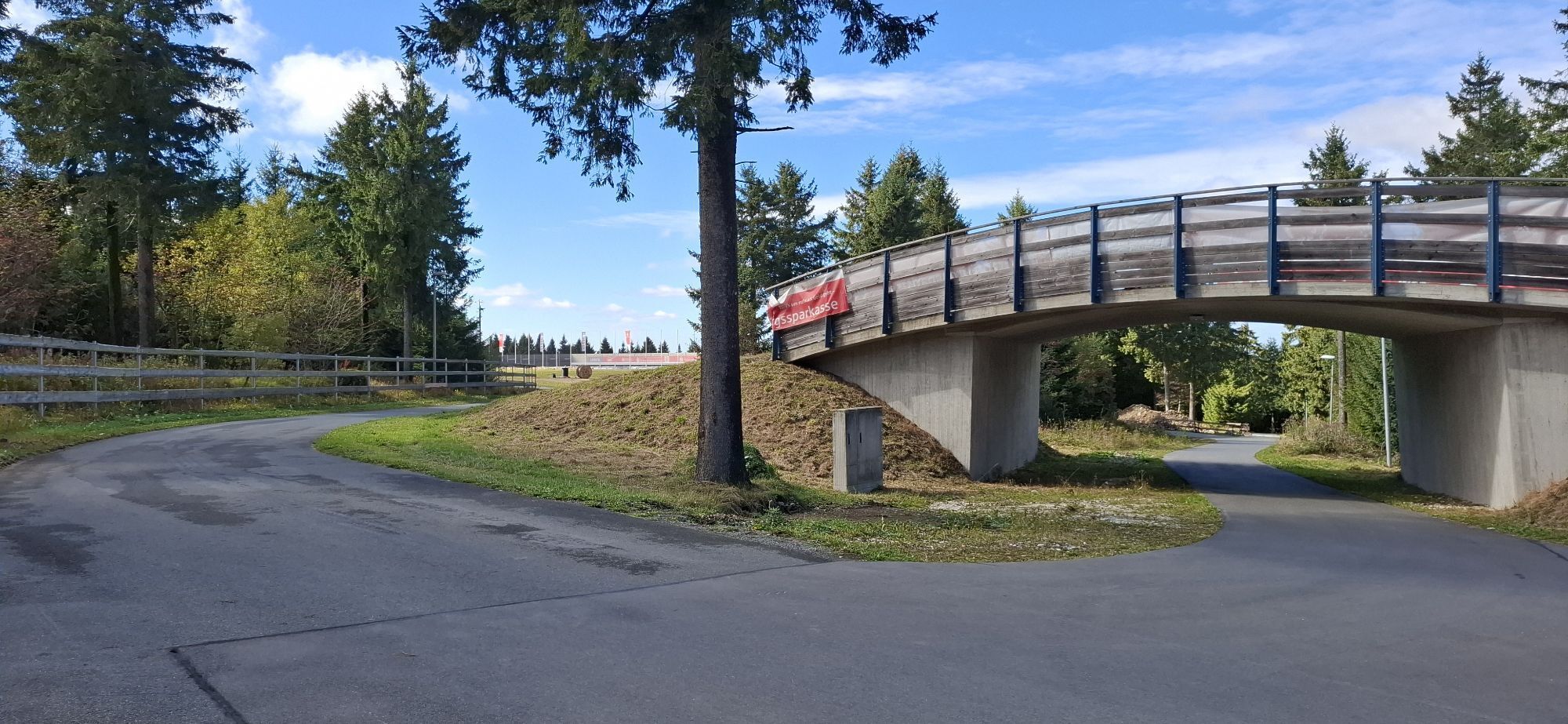
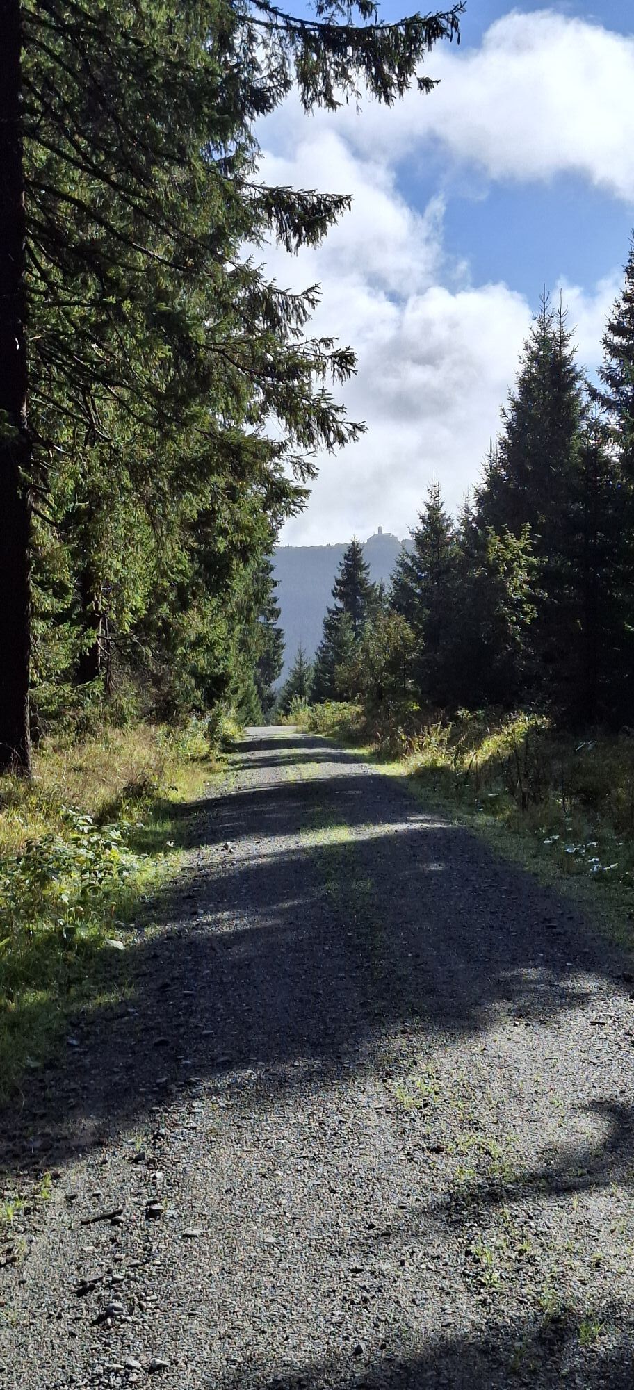
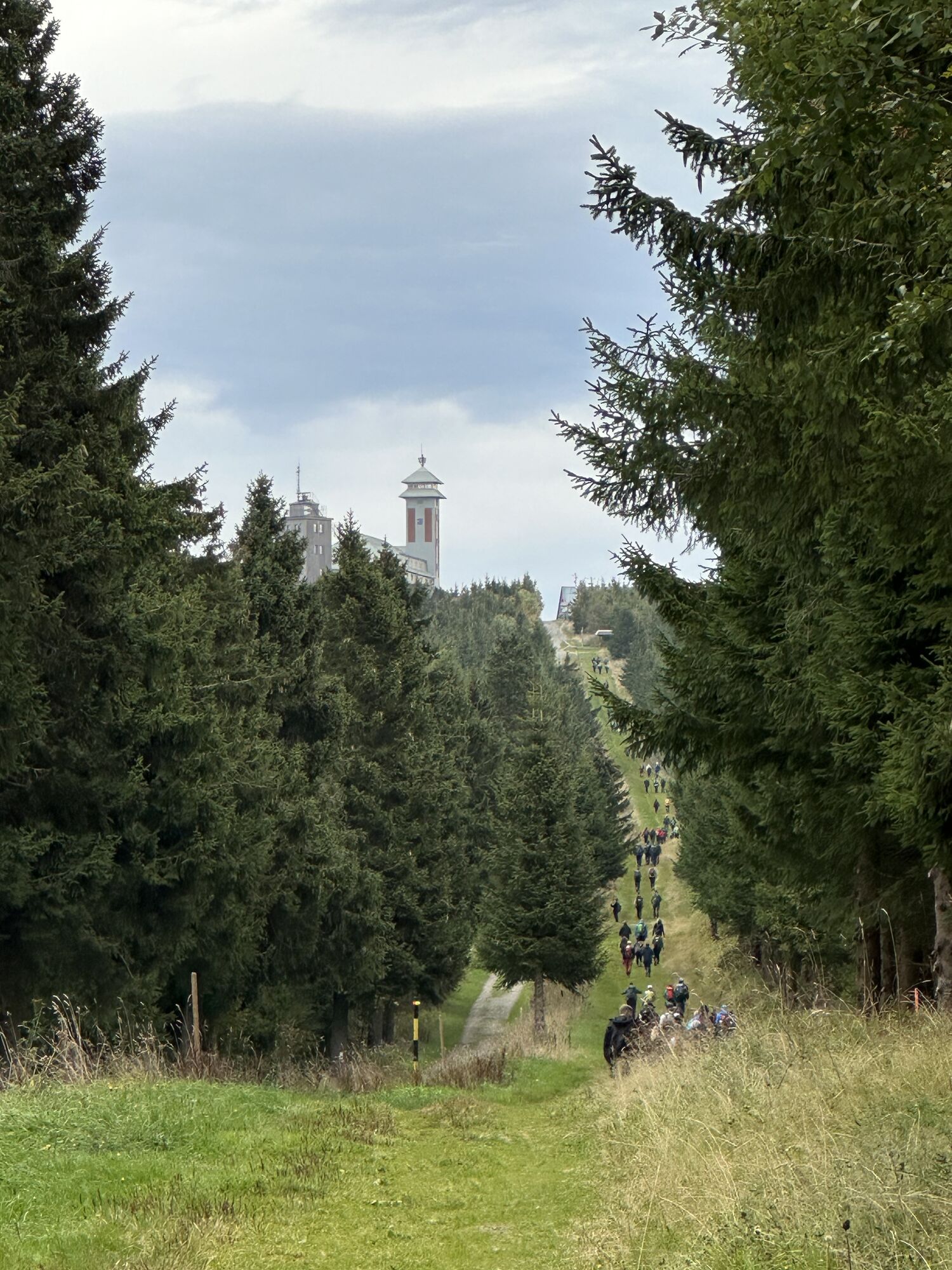
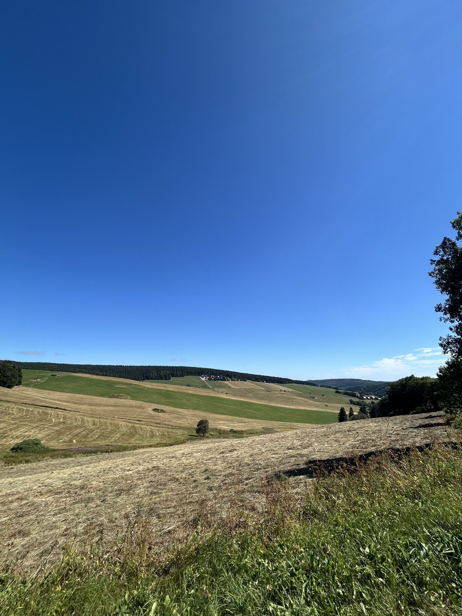
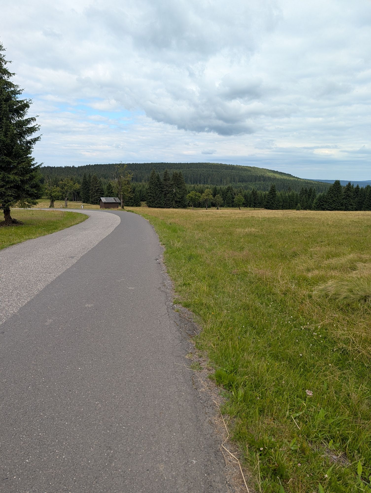
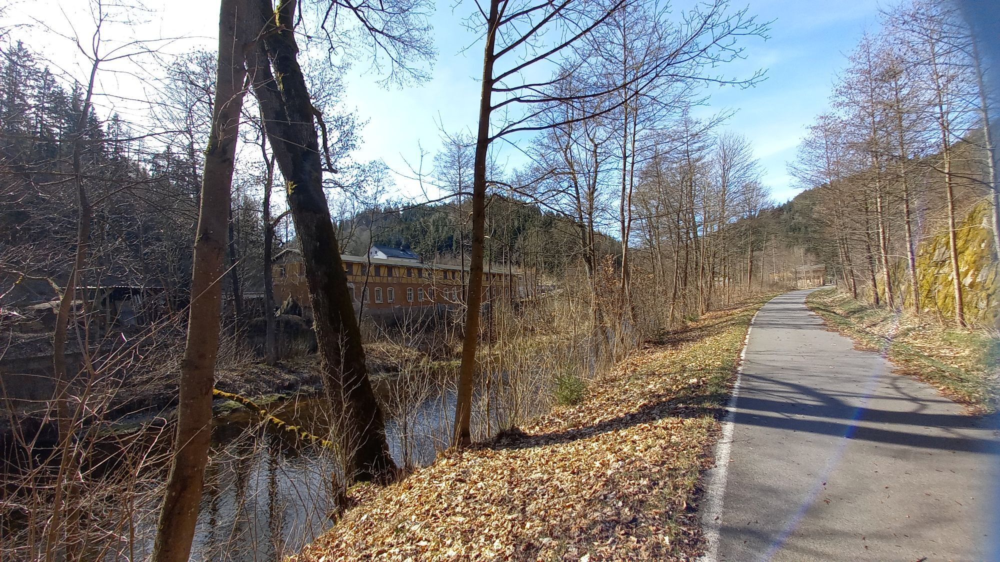
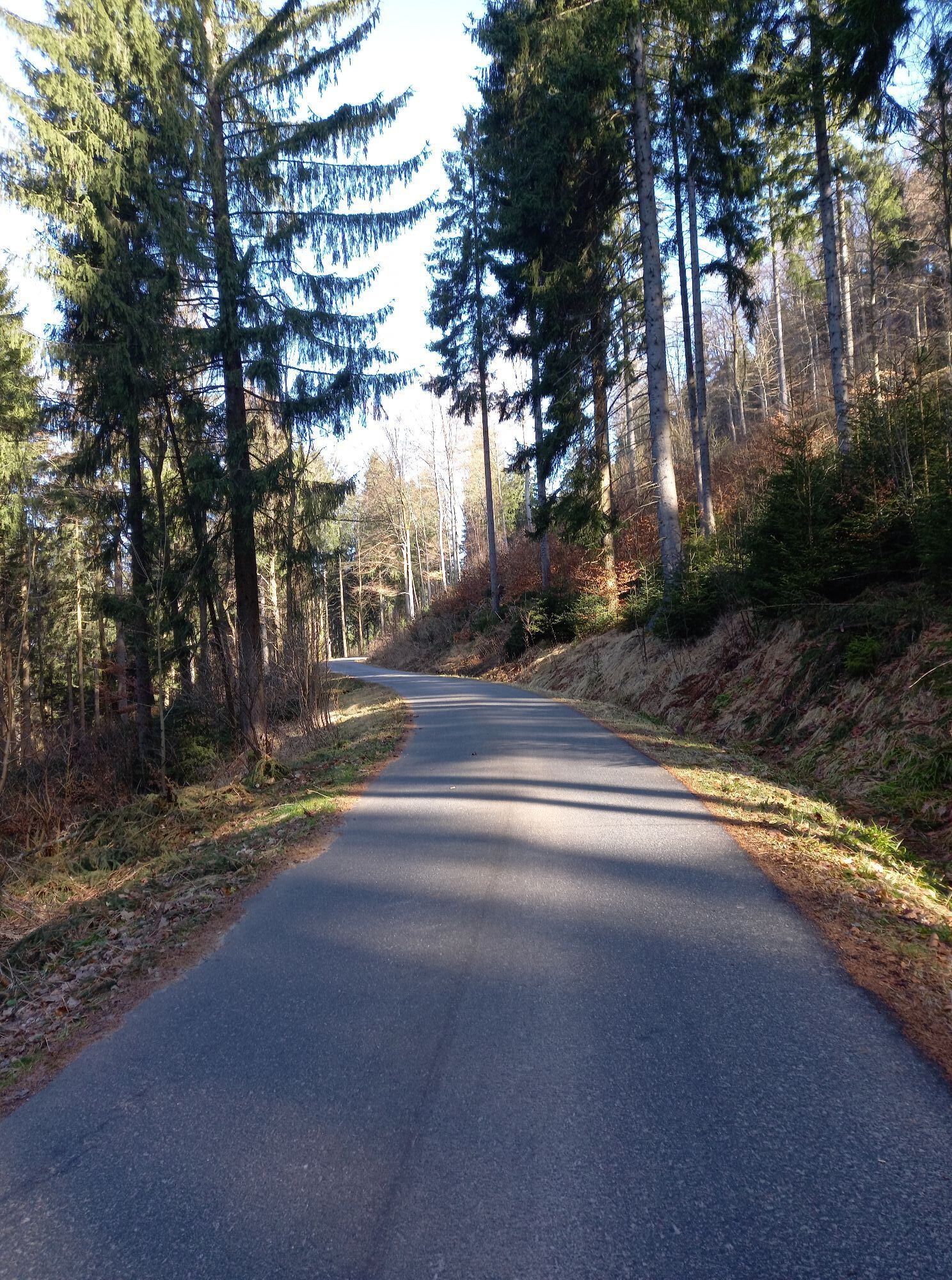
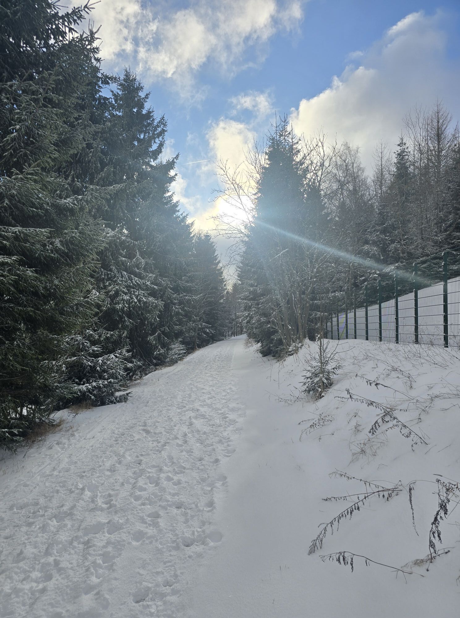
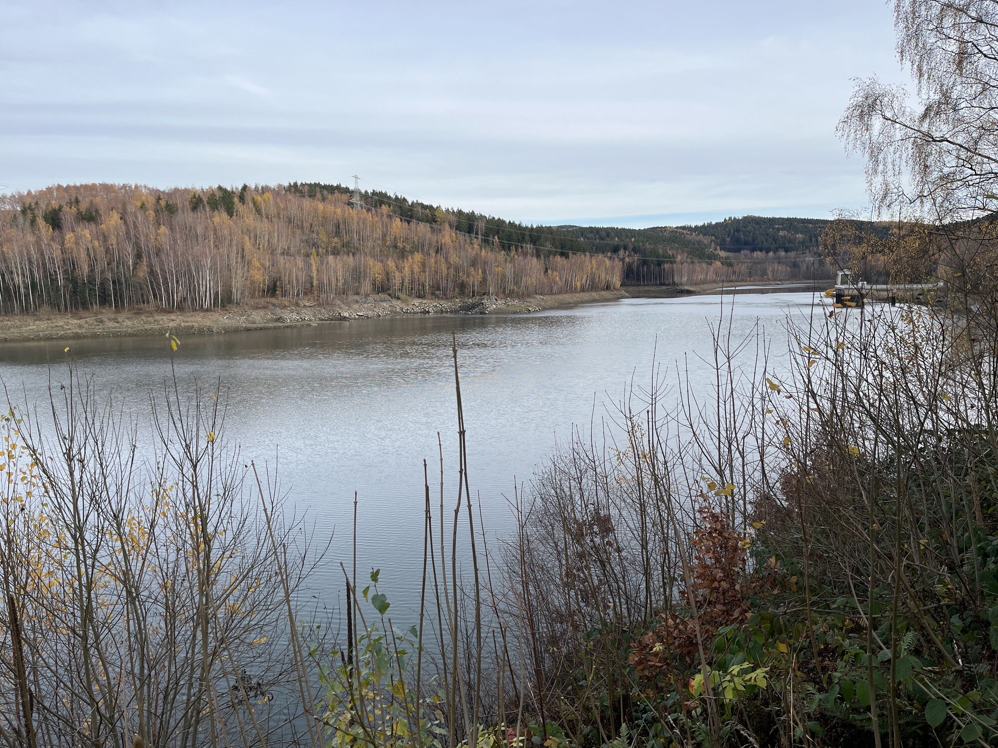
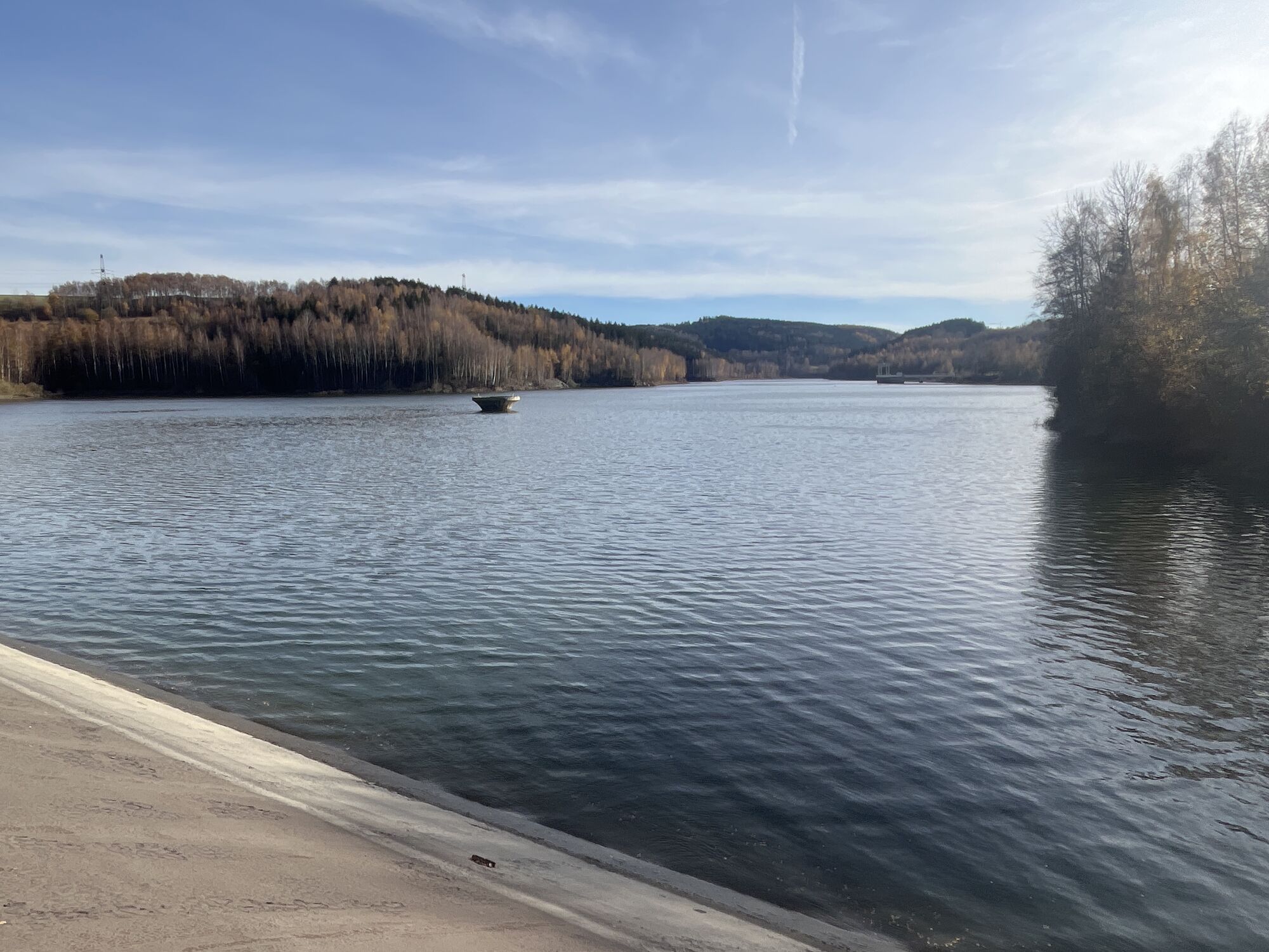
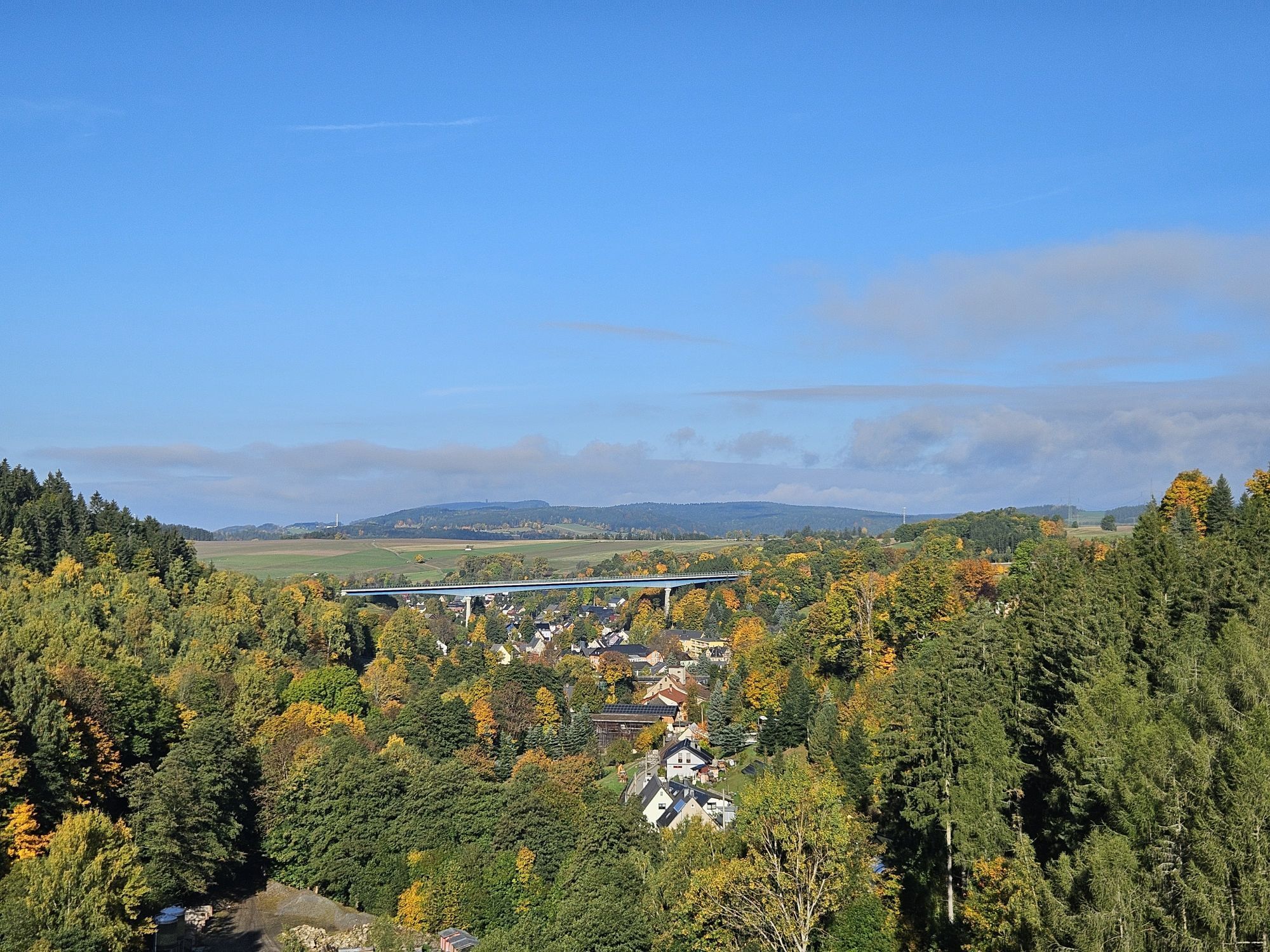
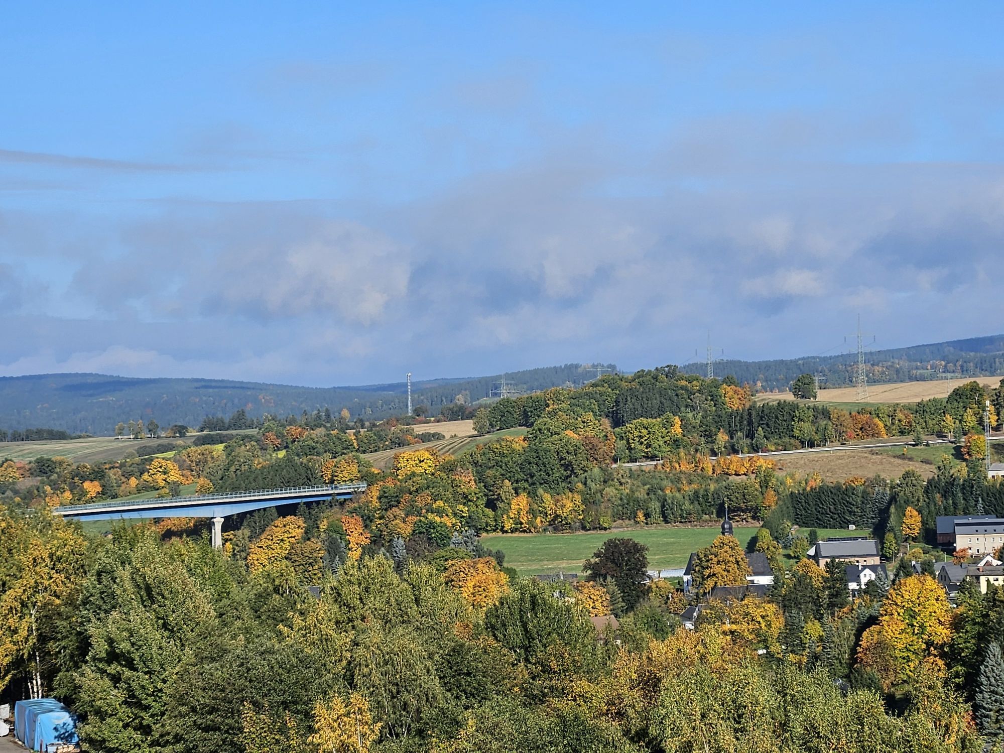
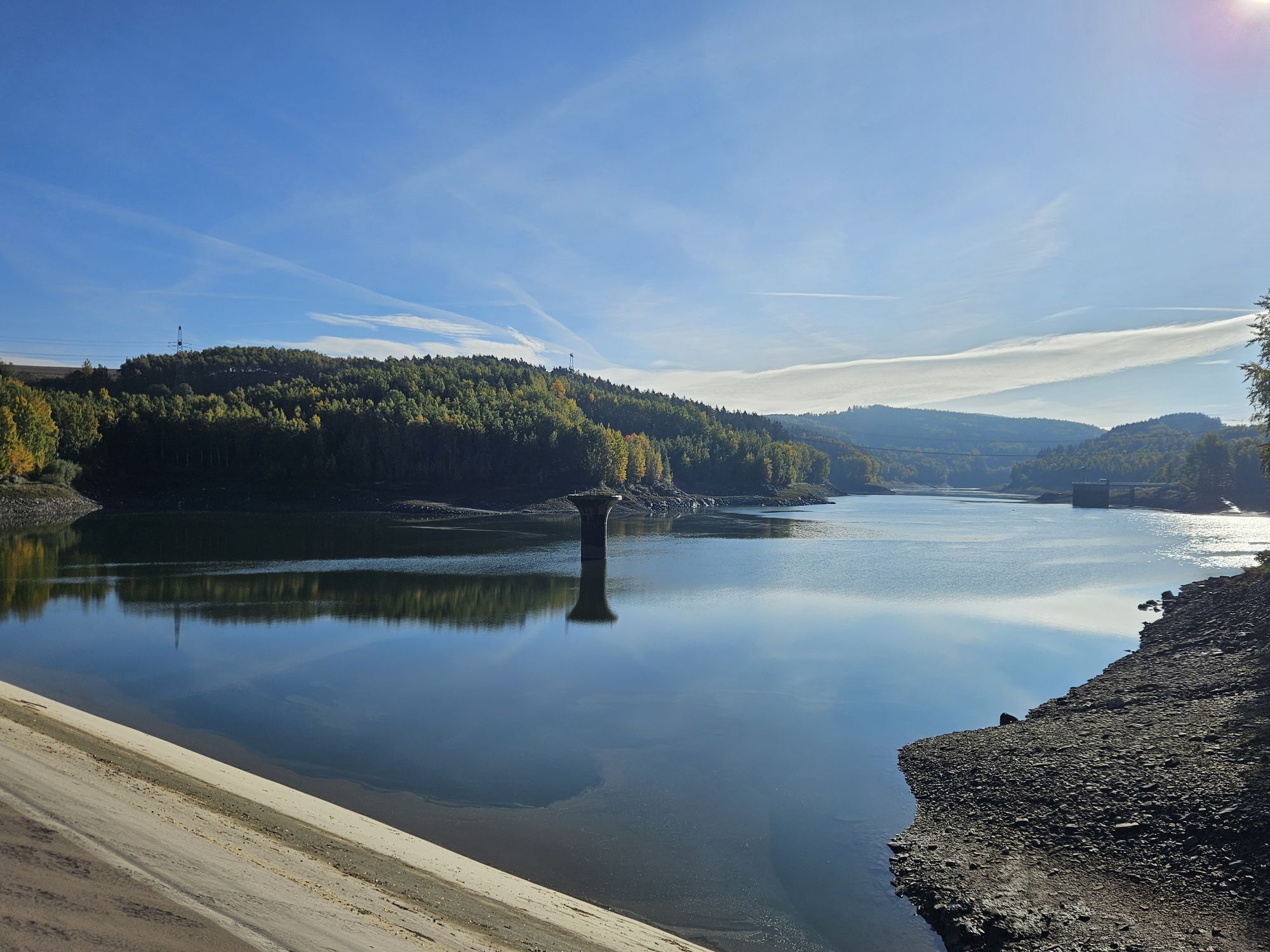
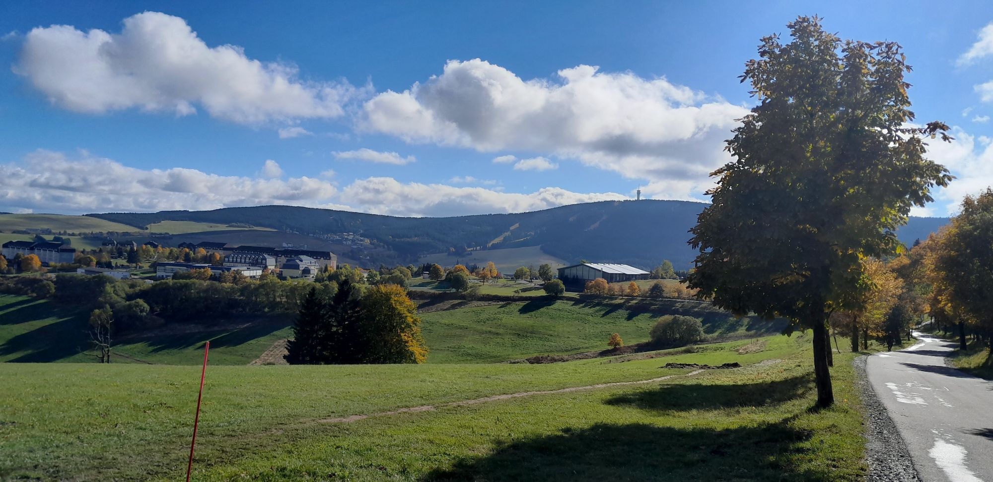
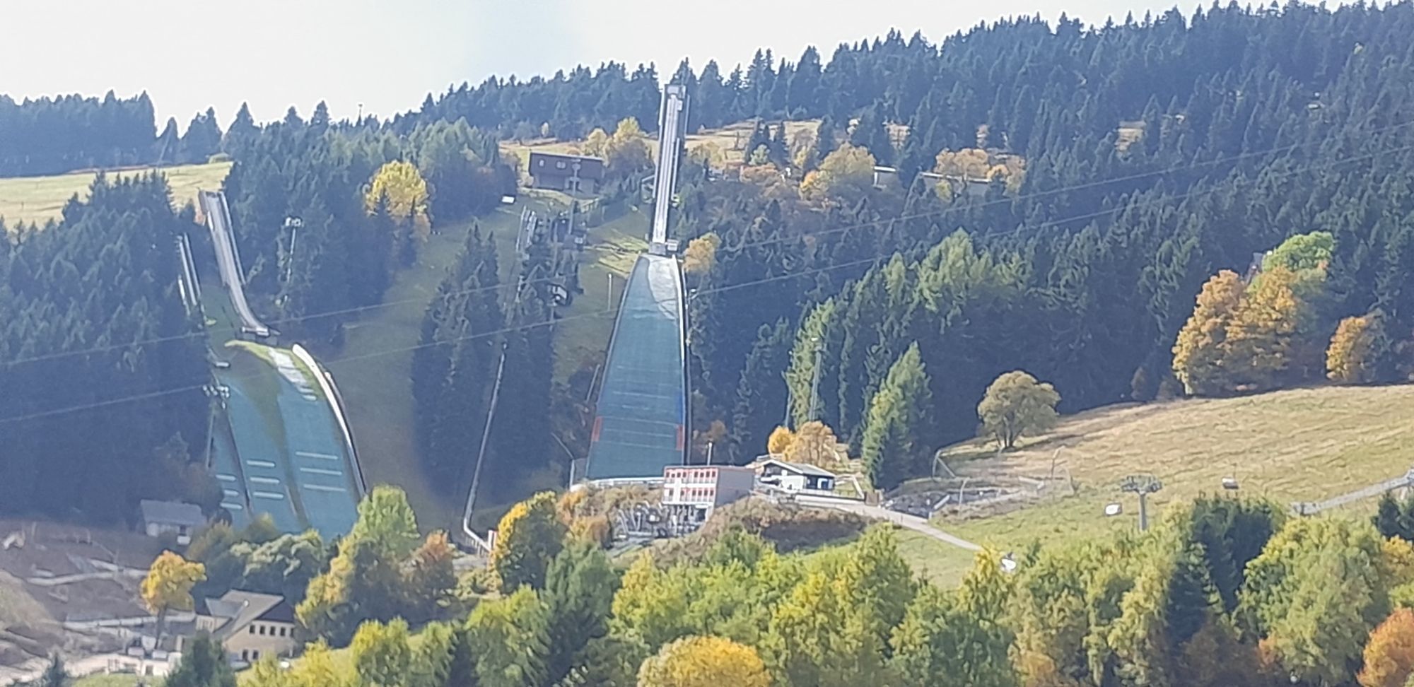
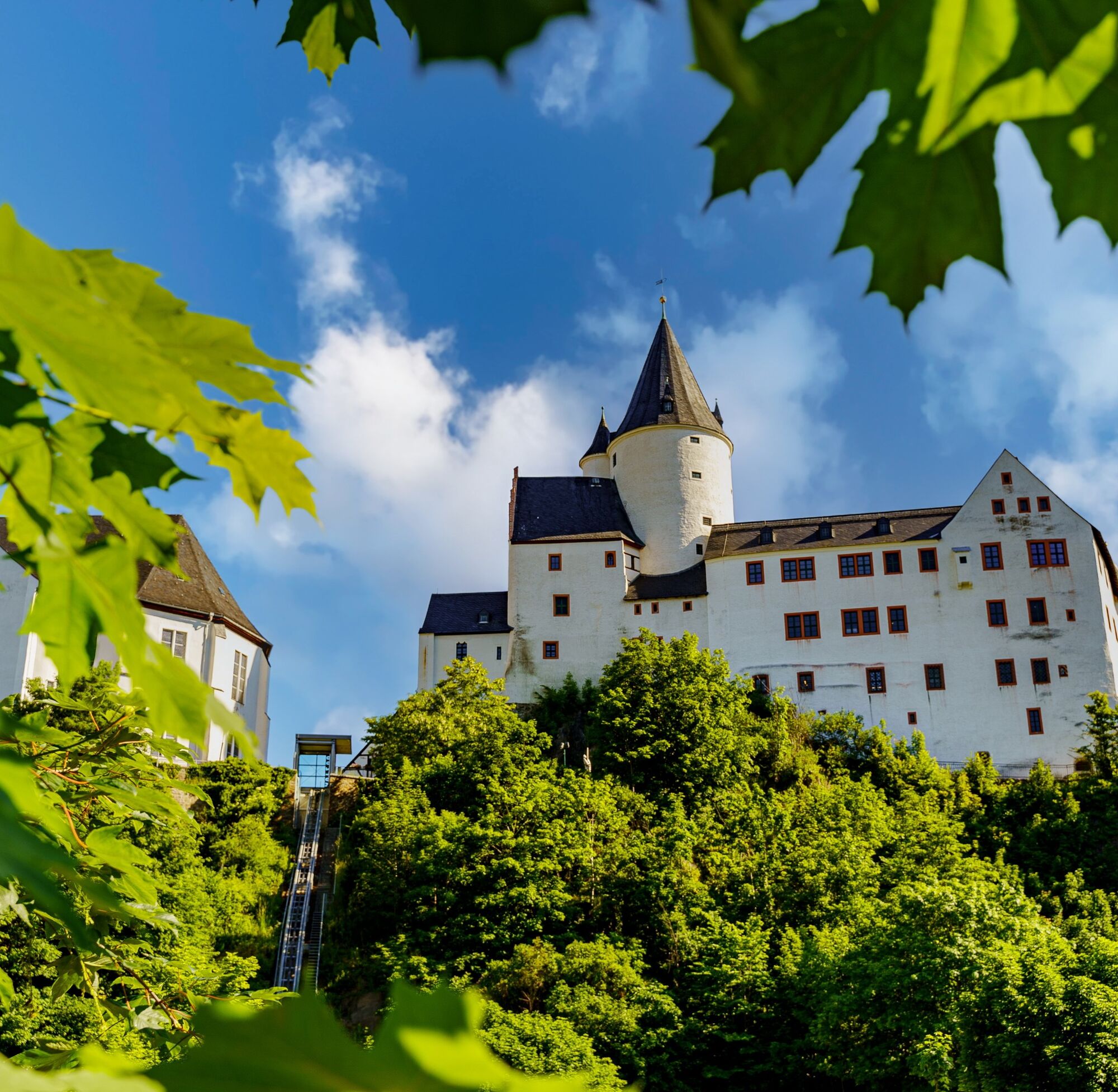
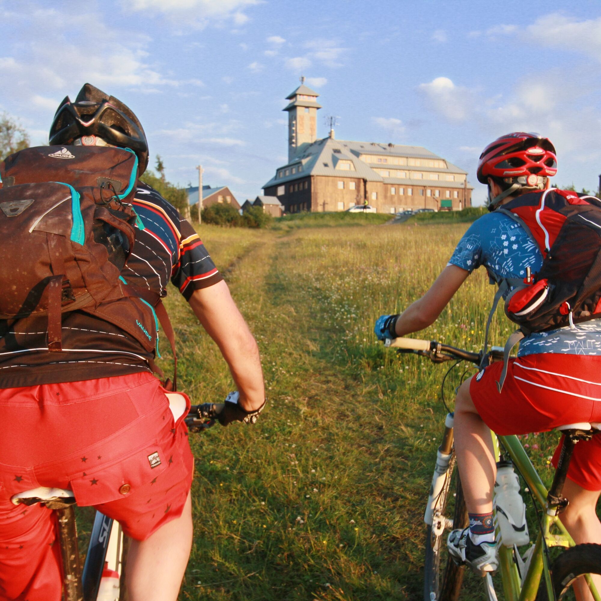
In Schwarzenberg, the tour starts at the train station on the I-6 towards Lauter. O ver the idyllic Schwarzwasser and across the listed Neuwelt covered wooden bridge, the I-6 leads us to Lauter, known for its spirits production. At the end of the village, it leads us along paved forest paths to Bockau with its tradition in the production of medicines and herbal liqueurs. Turning right downhill, we reach the Mulde cycle path, which was built on the old railroad embankment of the former Chemnitz - Aue - Adorf line and is used jointly as the I-6 and Karlsroute to the junction in Blauenthal. We continue our tour alongside the rushing Große Bockau and marvel at Saxony's largest legendary waterfall in Blauenthal, which is 30 m high. Climbing steadily uphill, we reach the hammer community of Wildenthal and after Oberwildenthal, shortly before the border crossing "Grenztor", the turn-off to the ridge tour. We follow this to Johanngeorgenstadt and on the way we pass a path caused by Kyrill (tornado), where original unique pieces have been created from tree stumps by artists. The first candle arch was created in Johanngeorgenstadt in 1778 by the miners' blacksmith Teller. Unique mining facilities, such as the Pferdegöpel and the Glöckl visitor mine, reflect the history of the town, which was heavily influenced by mining. In the village, we cross the border to PotůÄky and cycle up the R2001 on the Czech side to the R23 at Blatenský vrch (Plattenberg 1043 m). We pass several 1000 m peaks along the R23 to Boží Dar. We cross the border and ride downhill through the Zechengrund on route II-25 to the center of the spa town of Oberwiesenthal. At Büttnerweg/Vierenstraße, we change to the Zschopautal cycle path, which we follow up to the Fichtelberg. After a break, the route continues westwards along Fichtelbergstraße and Tellerhäuser Straße onto Altpöhlaer Straße. Via the district cycle route in the direction of Oberbecken/Markersbach, we reach the bridge village on the Silberstraße vacation route. The steel railroad bridge - 237 m long and 37 m high from 1888 - is a popular photo motif. We soon return to the I-6/23, which takes us to our destination in Schwarzenberg.
Prehliadka vrcholu
Áno
Informácie o príchode
Parkovanie
Schwarzenberg/train station on Gartenstraße, Wildenthal/hikers' parking lot on the ski slope, Johanngeorgenstadt, Oberwiesenthal
Ďalšie informácie a tipy
Úroveň náročnosti
4
Zatiaľ žiadne recenzie
Webové kamery z prehliadky
-
Fichtelberg
-
Skilift Neudorf / Sehmatal
-
Fichtelberg Skihang
-
Klínovec II
-
Klínovec II
-
Fichtelberg Skihang
-
Blick zum Fichtelberg
-
Blick nach Oberwiesenthal
-
SkiArena Eibenstock Berg
-
SkiArena Eibenstock
-
Fichtelberg Schwebebahn Kurort Oberwiesenthal
-
Talstation Fichtelberg
-
Fichtelberg
-
Johanngeorgenstadt Loipenhaus
-
Skiarena Eibenstock Bergstation
-
Bad Schlema Kurhaus
-
Boží Dar
-
Abertamy
-
Abertamy
-
Abertamy
-
Pernink
-
Eibenstock
-
Eibenstock
-
Fichtelberg
-
Oberwiesenthal - Haus am Berg
-
Oberwiesenthal

Všetky webové kamery na mape
Nainštaluj si aplikáciu zadarmo a porovnaj živé zábery z viacerých miest, než vyrazíš.
Využite službu „ bergfex “ už teraz v aplikácii
Naskenuj QR kód pomocou fotoaparátu
Ak máte aplikáciu nainštalovanú, obsah sa otvorí priamo. Ak aplikáciu ešte nemáte, budete presmerovaní na stránku, kde si ju môžete bezplatne stiahnuť.
Obľúbené výlety v okolí
-
3,5
Oberwiesenthal,Keilberg,Bozi Dar,Fichtelberg, Oberwiesental
strednáTuristika 15,2 km -
Rundwanderung Talsperre Sosa
svetloTuristika 7,95 km -
4,0
Panorama trail Schwarzenberg
strednáTuristika 13,8 km -
Hotel Jens Weissflog - Kreuzbrückenfelsen - Fichtelberg - Hotel Jens Weissflog ,Oberwiesenthal, Deutschland Oberwiesenthal, Deutschland
svetloTuristika 9,71 km -
4,5
Zechengrund und Fichtelberg - Rundwanderung mit Ausblick
strednáTuristika 13,9 km -
Stoneman Miriquidi 162 kilometers of pure mountain bike emotion
ťažkéMountainbike 168,0 km -
4,0
Oberwiesenthal, Kreuzbrückenfelsen, Eisenberg, Oberwiesenthal
svetloTuristika 7,15 km -
4,0
Runde über den Fichtelberg
svetloTuristika 10,2 km -
In the footsteps of the Hundsmarterweibl
strednáTuristika 10,8 km -
Fichtelberg-Keilberg Oberwiesenthal, Deutschland
strednáTuristika 25,6 km
Turistika a stopovanie

Viac ako 550.000 návrhov výletov, podrobné mapy a intuitívny plánovač trás robia z aplikácie povinnú výbavu pre všetkých nadšencov prírody.

Nenechajte si ujsť ponuky a inšpiráciu na ďalšiu dovolenku
Prihlásiť sa k odberu noviniek
Chyba
Vyskytla sa chyba. Prosím, skúste to znova.
Ďakujeme za vašu registráciu
Vaša e-mailová adresa bol pridaný do poštového zoznamu.
Zájazdy po celej Európe
Rakúsko
Švajčiarsko
Nemecko
Taliansko
Slovinsko
Francúzsko
Holandsko
Belgicko
Poľsko
Lichtenštajnsko
Česko
Slovensko
španielsko
Hrvaška
Bosna a Hercegovina
Luxembursko
Andorra
Portugalsko
Island
Spojené kráľovstvo
Írsko
Grécko
Albánsko
Severné Macedónsko
Malta
Nórsko
Čierna Hora
Moldavsko
Kosovo
Maďarsko
San Maríno
Rumunsko
Estónsko
Lotyšsko
Bielorusko
Cyprus
Litva
Srbsko
Bulharsko
Monako
Dánsko
Švédsko
Fínsko





