
RR ERZ T12 Around Rübenau to Katharinaberg
stredná
Získajte túto prehliadku v mobilnom telefóne
RR ERZ T12 Around Rübenau to Katharinaberg
stredná
Cyklistika
41,08
km
Naskenujte kód QR a spustite navigáciu v aplikácii bergfex


Turistika a stopovanie




RR ERZ T12 Around Rübenau to Katharinaberg
stredná
Vzdialenosť
41,08
km
Trvanie
04:16
h
Ascent
719
hm
Hladina mora
467 -
840
m
Úroveň náročnosti: 4
Stiahnutie skladby
RR ERZ T12 Around Rübenau to Katharinaberg
stredná
Cyklistika
41,08
km


Trasa
Strážce
(825 m)
Summit
10,1 km
Rudolice v Horách
(825 m)
Zúčtovanie
14,3 km
Deutschkatharinenberg
(576 m)
Dedina
19,7 km
Michael Archanděl
(553 m)
Miesto uctievania
24,5 km
Zelený Důl
(474 m)
Zúčtovanie
26,8 km
Grünthal
(469 m)
Susedstvo
27,1 km
Olbernhau
(456 m)
Mesto
28,9 km
Trasa
RR ERZ T12 Around Rübenau to Katharinaberg
stredná
Cyklistika
41,08
km
Načetín
(738 m)
Zúčtovanie
4,6 km
Kalek
(675 m)
Dedina
6,9 km
Strážce
(825 m)
Summit
10,1 km
Rudolice v Horách
(825 m)
Zúčtovanie
14,3 km
Malý Háj
(848 m)
Zúčtovanie
15,6 km
Hora Svaté Kateřiny
(692 m)
Dedina
19,4 km
Deutschkatharinenberg
(576 m)
Dedina
19,7 km
Vagon
(575 m)
Reštaurácia
20,1 km
Oberlochmühle
(566 m)
Dedina
20,7 km
Brandov
(553 m)
Dedina
24,5 km
Michael Archanděl
(553 m)
Miesto uctievania
24,5 km
U Boženky
(519 m)
Reštaurácia
24,7 km
U Hřište
(493 m)
Reštaurácia
25,6 km
Zelený Důl
(474 m)
Zúčtovanie
26,8 km
Kegelhalle Matthes
(470 m)
Reštaurácia
27,1 km
Hüttenschänke
(470 m)
Reštaurácia
27,1 km
Grünthal
(469 m)
Susedstvo
27,1 km
Stockhausen
(471 m)
Detské ihrisko
27,2 km
Olbernhau
(456 m)
Mesto
28,9 km
Autor
Poskytuje Erlebnisheimat Erzgebirge
Prehliadku RR ERZ T12 Around Rübenau to Katharinaberg zabezpečuje outdooractive.com.


Informácie o trase
Trasa
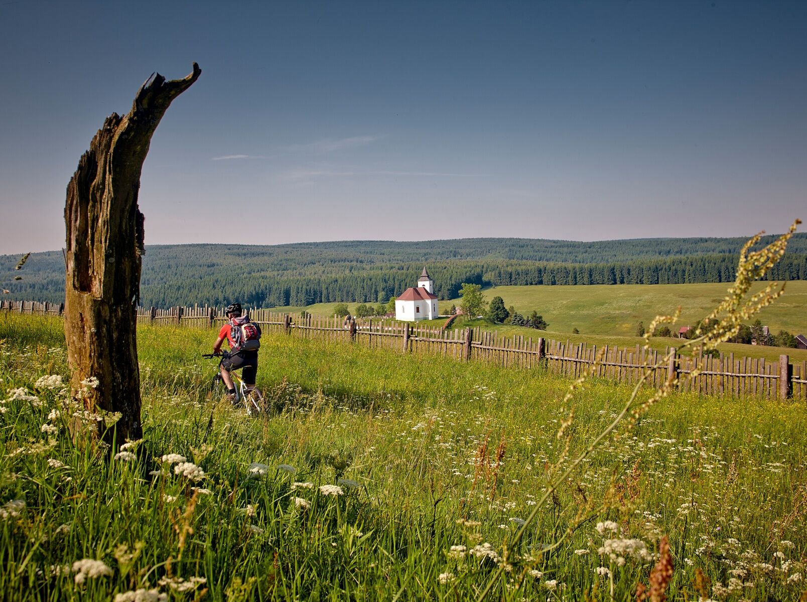
From the starting point, we follow the I-6/23 towards Rübenau/NaÄetín along the border road near Äihadlo (Lauschhübel 842 m) to NaÄetín. Here we meet the R23 and turn left towards Kalek, uphill past the church through a wooded area via Rudolice v Horach to Malý Háj with a church at the highest point of the loop. Then we descend until we turn left onto the I-6/23 to Hora Svaté KateÅiny. Close to the border, we come to Olbernhau/Grünthal via Brandov and the border. Various sights await visitors at the Saigerhütte monument complex, which is steeped in history. From the Saigerhütte area, we cycle along the I-6 towards Rübenau via the Dörfel industrial estate until the route takes us left into the beech forest. On the Königsweg (King's Path), we climb a considerable amount of altitude over serpentines. After crossing the S 217 Ansprung-Rübenau road, the I-6 leads us downhill through the Kriegwald forest into the wild and romantic Schwarzwassertal nature reserve. Once in the valley of the Schwarze Pockau, we take the I-6/23 on the left to Kühnhaide and reach our destination.
Informácie o príchode
Parkovanie
Kühnhaide/hiking parking lot Am Schwarzwasser, Olbernhau/hiking parking lot Rothenthaler Straße
Ďalšie informácie a tipy
Úroveň náročnosti
4
Zatiaľ žiadne recenzie
Získajte prehľad
Vždy naživo na mieste s viac ako 9 500 webovými kamerami. bergfex Ako používateľ Pro si teraz môžete pozrieť príslušné webové kamery pre mnohé zájazdy v aplikácii zájazdy z. Môžete si tak priamo prezerať aktuálne podmienky.
Obľúbené výlety v okolí
-
4,8
Katzenstein - Schwarzwassertal - Katzenstein
strednáTuristika 15,5 km -
5,0
First German bell hiking trail
ťažkéTuristika 23,1 km -
In der Mitte thront der Schwartenberg - No 7 -
strednáTuristika 8,64 km -
5,0
Circular hike to the Rauschenbach reservoir
Turistika 9,52 km -
3,0
Day tour Kammweg around Neuhausen and the Schwartenberg
Turistika 12,5 km -
RR ERZ T10 Through the Schweinitz Valley to the toy village of Seiffen
strednáCyklistika 32,4 km -
5,0
Ore Mountain Cycle Main Route Krusnohorska Magistrala R23 Jeleni-Decin
strednáCyklistika 171,0 km -
3,5
Neuhausen/Erzgebirge nach Seiffen über den Schwartenberg
svetloTuristika 14,3 km -
Neuhausen Panorama Trail -No 9-
strednáTuristika 10,1 km -
RR ERZ T09 Over Ahornberg to the Fláje dam back to the toy village
strednáCyklistika 39,5 km
Turistika a stopovanie

Viac ako 550.000 návrhov výletov, podrobné mapy a intuitívny plánovač trás robia z aplikácie povinnú výbavu pre všetkých nadšencov prírody.

Nenechajte si ujsť ponuky a inšpiráciu na ďalšiu dovolenku
Prihlásiť sa k odberu noviniek
Chyba
Vyskytla sa chyba. Prosím, skúste to znova.
Ďakujeme za vašu registráciu
Vaša e-mailová adresa bol pridaný do poštového zoznamu.
Zájazdy po celej Európe
Rakúsko
Švajčiarsko
Nemecko
Taliansko
Slovinsko
Francúzsko
Holandsko
Belgicko
Poľsko
Lichtenštajnsko
Česko
Slovensko
španielsko
Hrvaška
Bosna a Hercegovina
Luxembursko
Andorra
Portugalsko
Island
Spojené kráľovstvo
Írsko
Grécko
Albánsko
Severné Macedónsko
Malta
Nórsko
Čierna Hora
Moldavsko
Kosovo
Maďarsko
San Maríno
Rumunsko
Estónsko
Lotyšsko
Bielorusko
Cyprus
Litva
Srbsko
Bulharsko
Monako
Dánsko
Švédsko
Fínsko





