







RR ERZ E06 Stage tour long-distance cycle route Saxon Central Uplands and Ore Mountains Cycle Route Stage 06

Úroveň náročnosti: 3


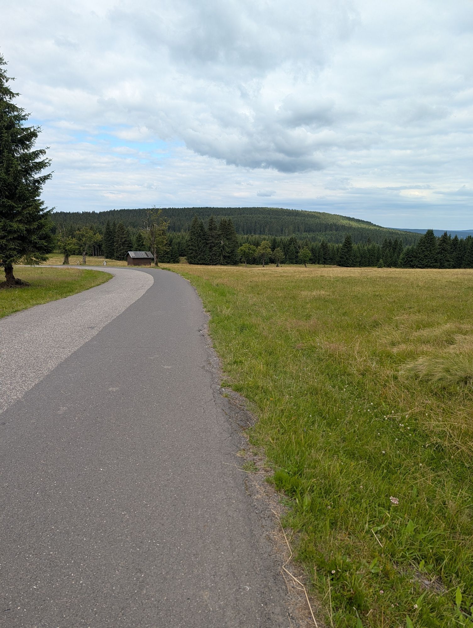
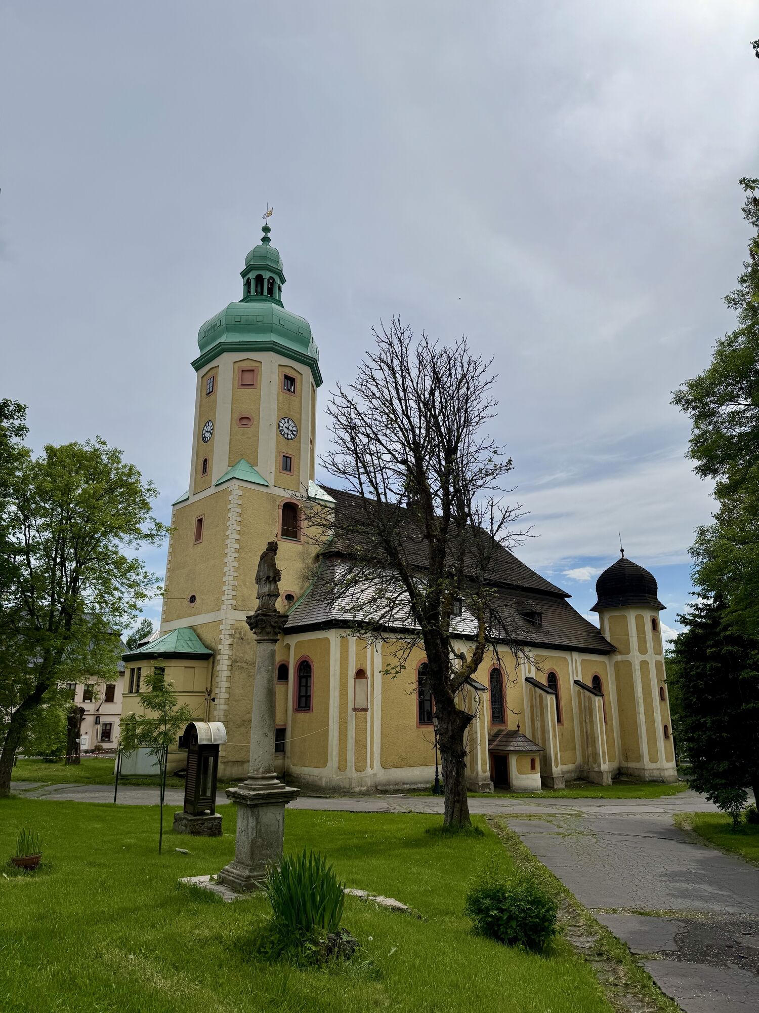
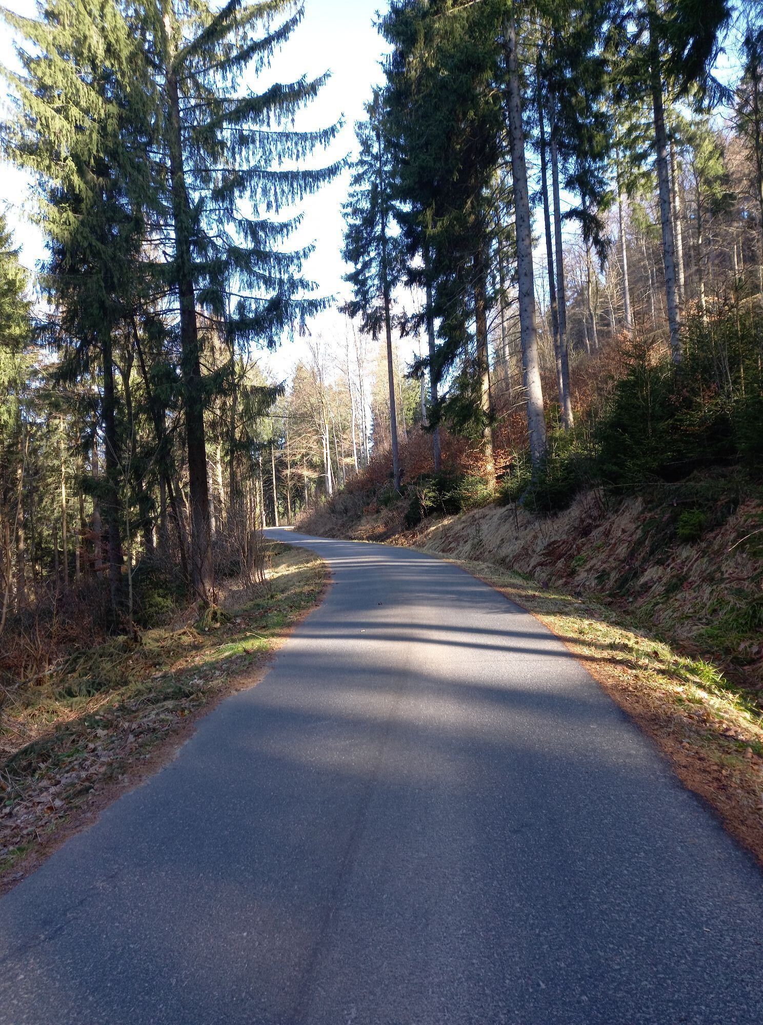

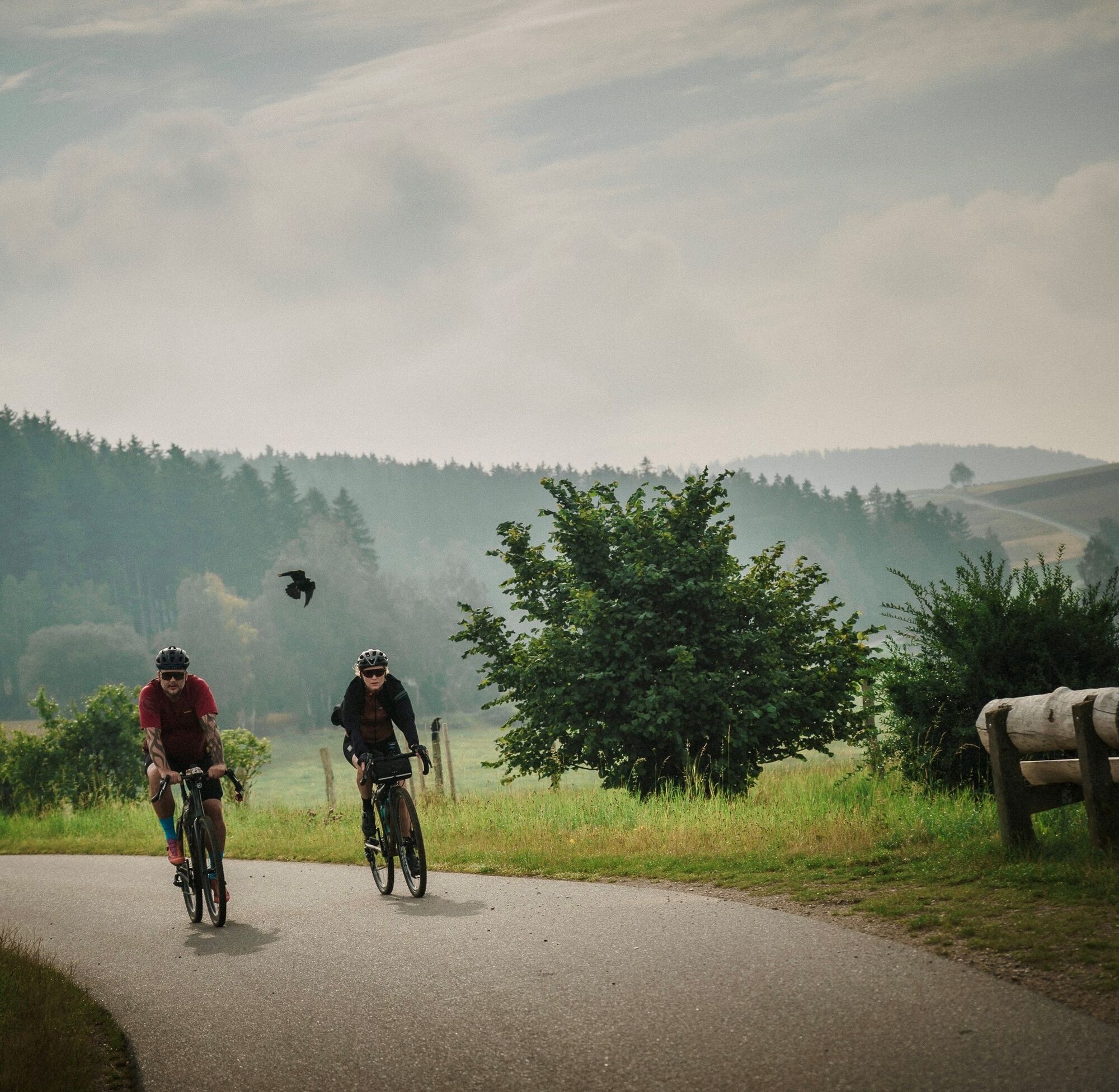
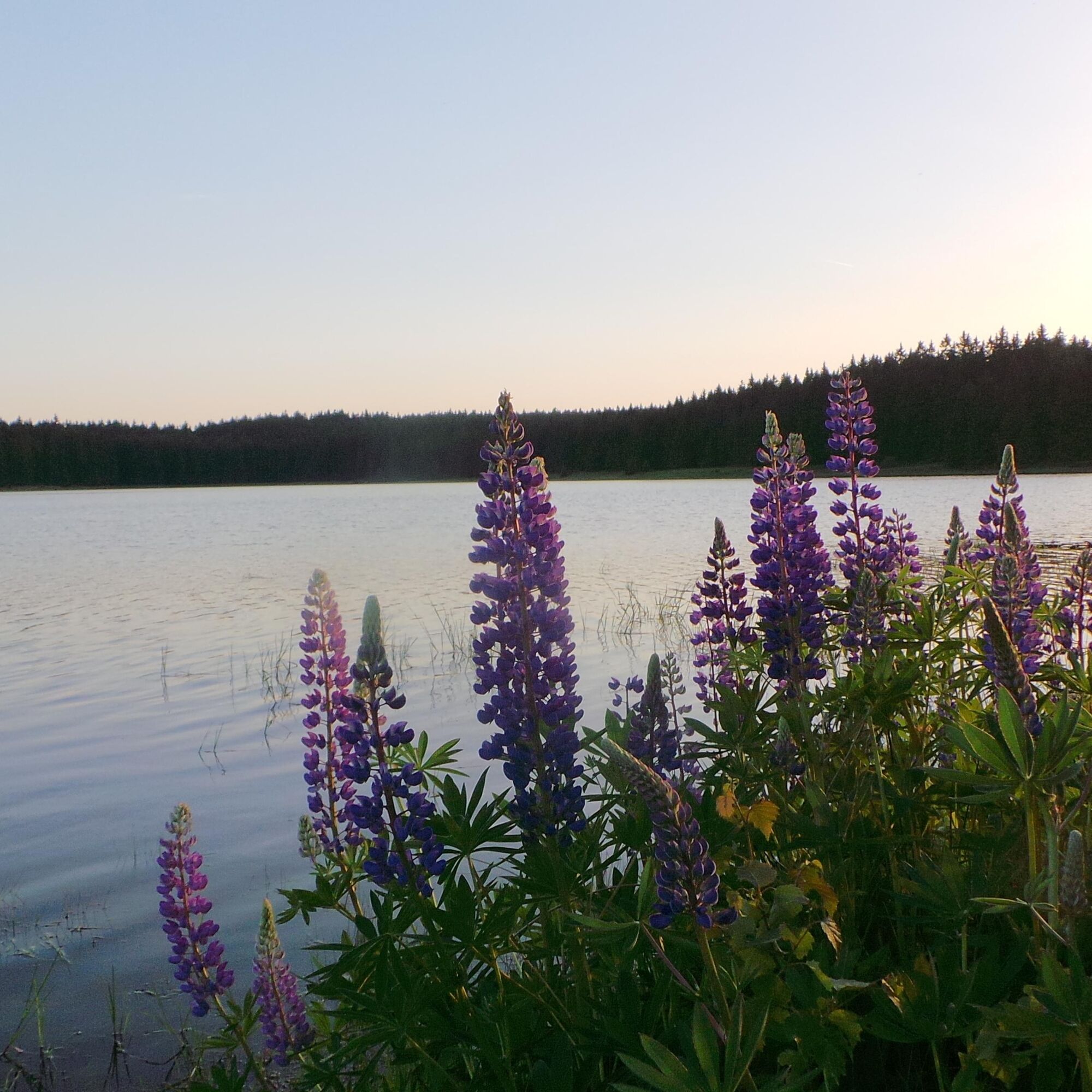
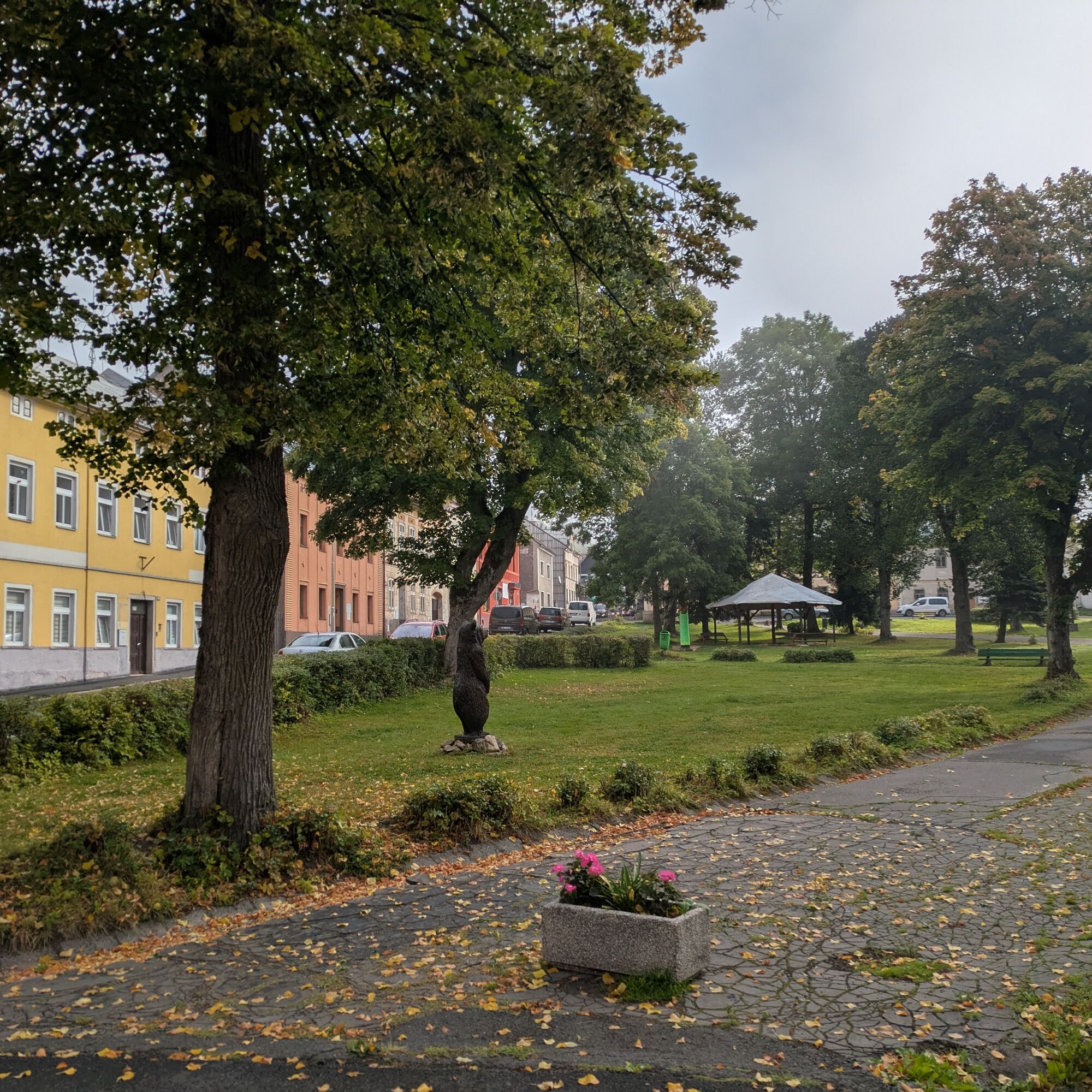
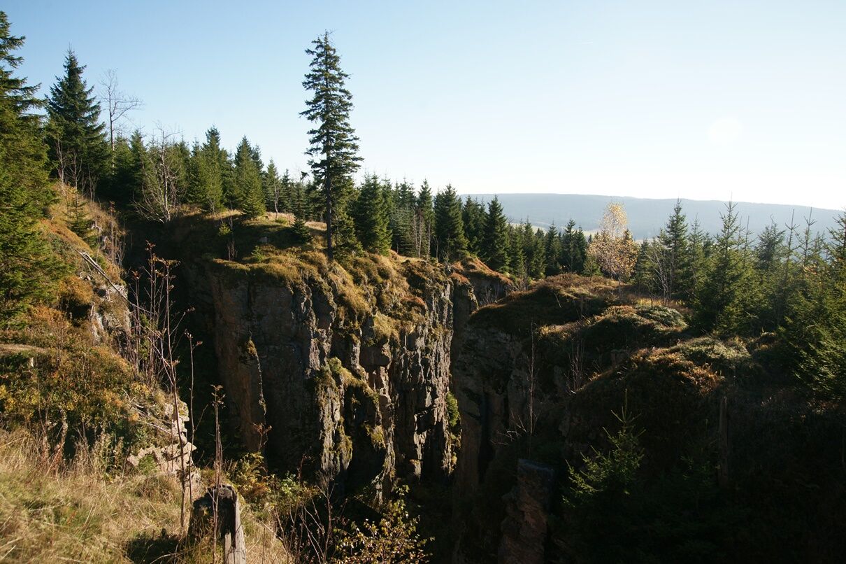
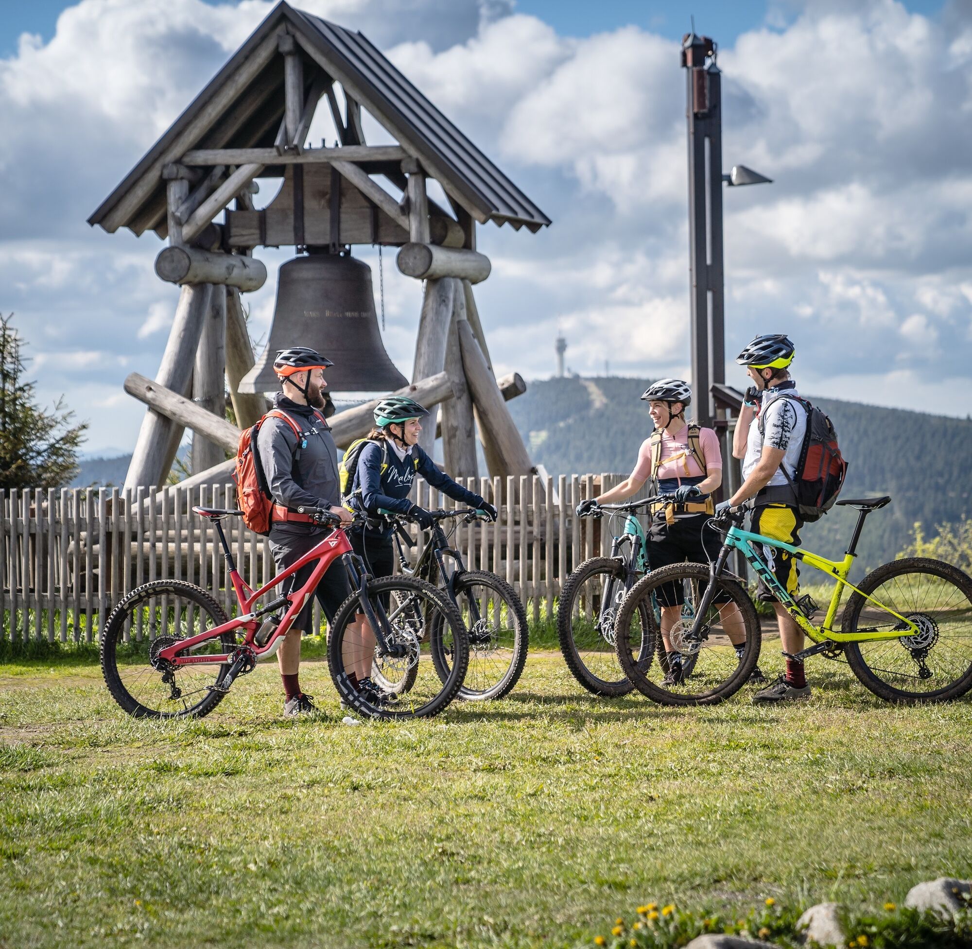

From the start in Eibenstock, we take the Euregio Egrensis long-distance cycle route towards Sosa and turn right onto the I-6 in the valley of the Große Bockau, which is also the Karlsroute. Climbing steadily uphill, we reach the Hammer community of Wildenthal and the border crossing "Grenztor" via Oberwildenthal. Continuing along the Karlsroute, we meet the Ore Mountains main road no. 23. A short relaxation awaits us downhill to the small village of Jelení (Hirschenstand), before we continue uphill past Scheffelsberg and Zaječí vrch (Rammelsberg 1009 m) to the mountain town of Horní Blatná (Platten). And if you like, take the turnoff to the lookout tower on Blatenský vrch (1043 m). Back on the R23, in Myslivny (forester's houses) with a pond, we reach the Christkindweg, a themed trail suitable for children, as far as Boží Dar (Gottesgab), the birthplace of the Ore Mountains' native singer Anton Günther. The stage ends here.
Trekking bike, mountain bike, suitable for bicycle trailers
Oberwiesenthal/train station
From Boží Dar we use the connecting route I-6/R23 to the border crossing and then continue on the II-25 to Oberwiesenthal railroad station (stage approx. 44 km)
Bozi Dar, city center
3
Webové kamery z prehliadky
-
Fichtelberg
-
Fichtelberg Skihang
-
Klínovec II
-
Klínovec II
-
Fichtelberg Skihang
-
Blick zum Fichtelberg
-
Blick nach Oberwiesenthal
-
SkiArena Eibenstock Berg
-
SkiArena Eibenstock
-
Fichtelberg Schwebebahn Kurort Oberwiesenthal
-
Talstation Fichtelberg
-
Fichtelberg
-
Skilift Stützengrün
-
Johanngeorgenstadt Loipenhaus
-
Skiarena Eibenstock Bergstation
-
Boží Dar
-
Abertamy
-
Abertamy
-
Abertamy
-
Pernink
-
Eibenstock
-
Eibenstock
-
Fichtelberg
-
Oberwiesenthal - Haus am Berg
-
Oberwiesenthal

Obľúbené výlety v okolí
-
Rundwanderung Talsperre Sosa
svetloTuristika 7,95 km -
Stoneman Miriquidi 162 kilometers of pure mountain bike emotion
ťažkéMountainbike 168,0 km -
2,0
Sosa Talsperre - Blauenthaler Wasserfall
ťažkéTuristika 9,03 km -
5,0
Day route Ridge path 25 From Auersberg to the Carlsfeld dam and back
ťažkéTuristika 20,4 km -
4,5
Small Crane Lake
strednáTuristika 8,11 km -
5,0
Day tour Kammweg 21 Between Fichtelberg and Tellerhäuser 18km
Turistika 17,7 km -
50 km - loop of the Drei-Talsperren-Marathon Eibenstock
ťažkéMountainbike 50,3 km -
3,0
Erla-Crandorf circular hiking trail
strednáTuristika 6,93 km -
5,0
Natur- und Bergjuwelen rund um Horní Blatná
ťažkéTuristika 14,6 km -
5,0
Carlsfeld dam circuit
svetloMountainbike 18,1 km
Turistika a stopovanie


Nenechajte si ujsť ponuky a inšpiráciu na ďalšiu dovolenku
Vaša e-mailová adresa bol pridaný do poštového zoznamu.





