


Schlettau circular hiking trail "Hofbusch and Stockholz"
The hike leads centrally from Schlettau with good parking facilities in a north-westerly direction to the so-called Hofbusch, a small section of forest above the Zschopau. You pass the village of Hermannsdorf...
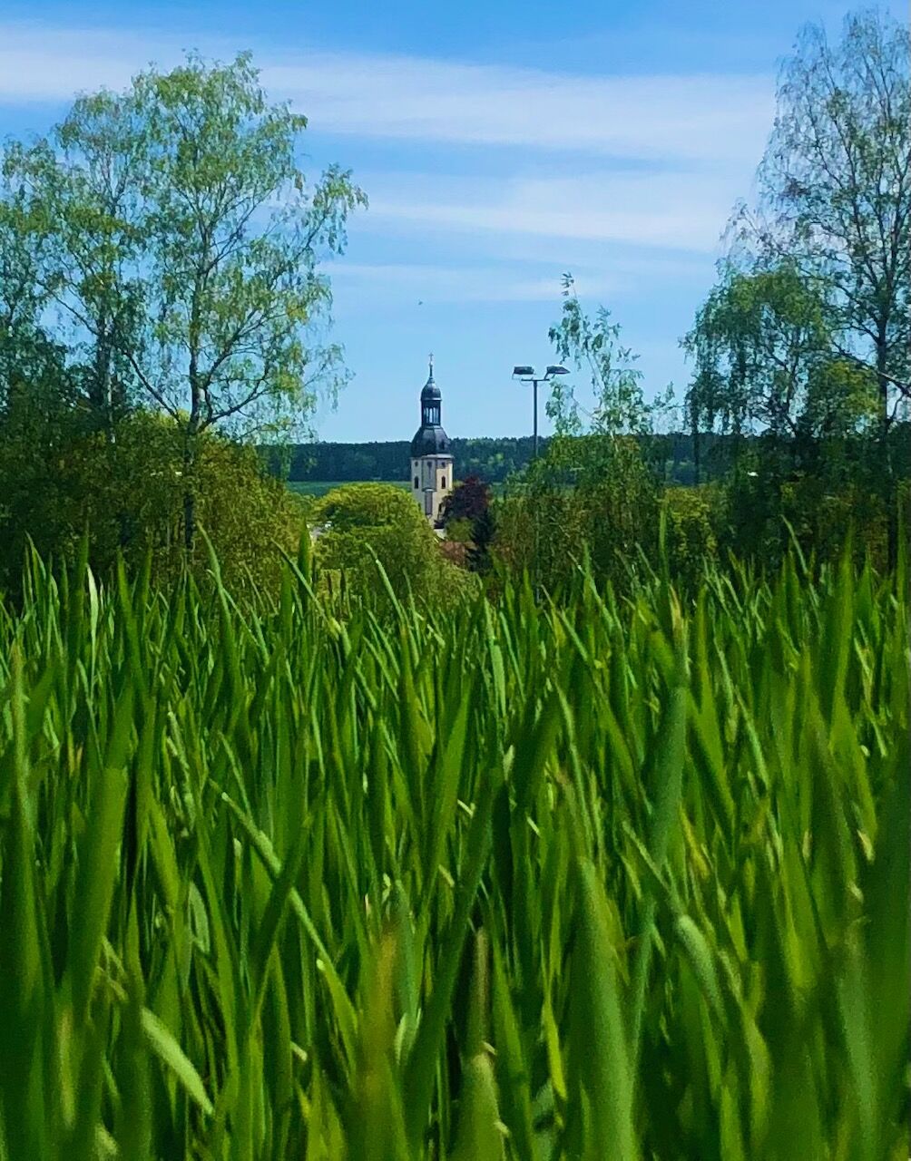
The hike leads centrally from Schlettau with good parking facilities in a north-westerly direction to the so-called Hofbusch, a small section of forest above the Zschopau. You pass the village of Hermannsdorf before returning to a section of forest known as Stockholz. In between, you pass through fields with wonderful views and opportunities to rest. At the Rote Pfütze, a small stream, you return to the starting point in Schlettau.

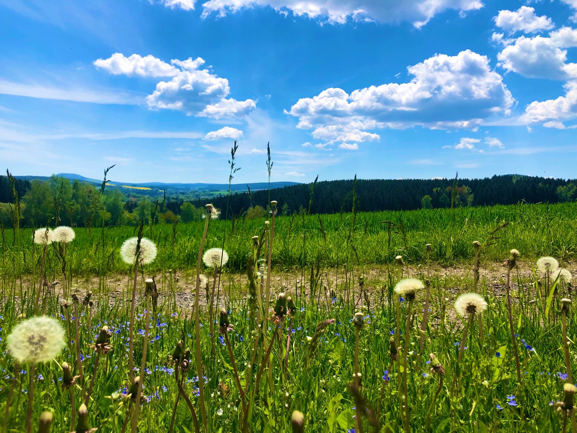
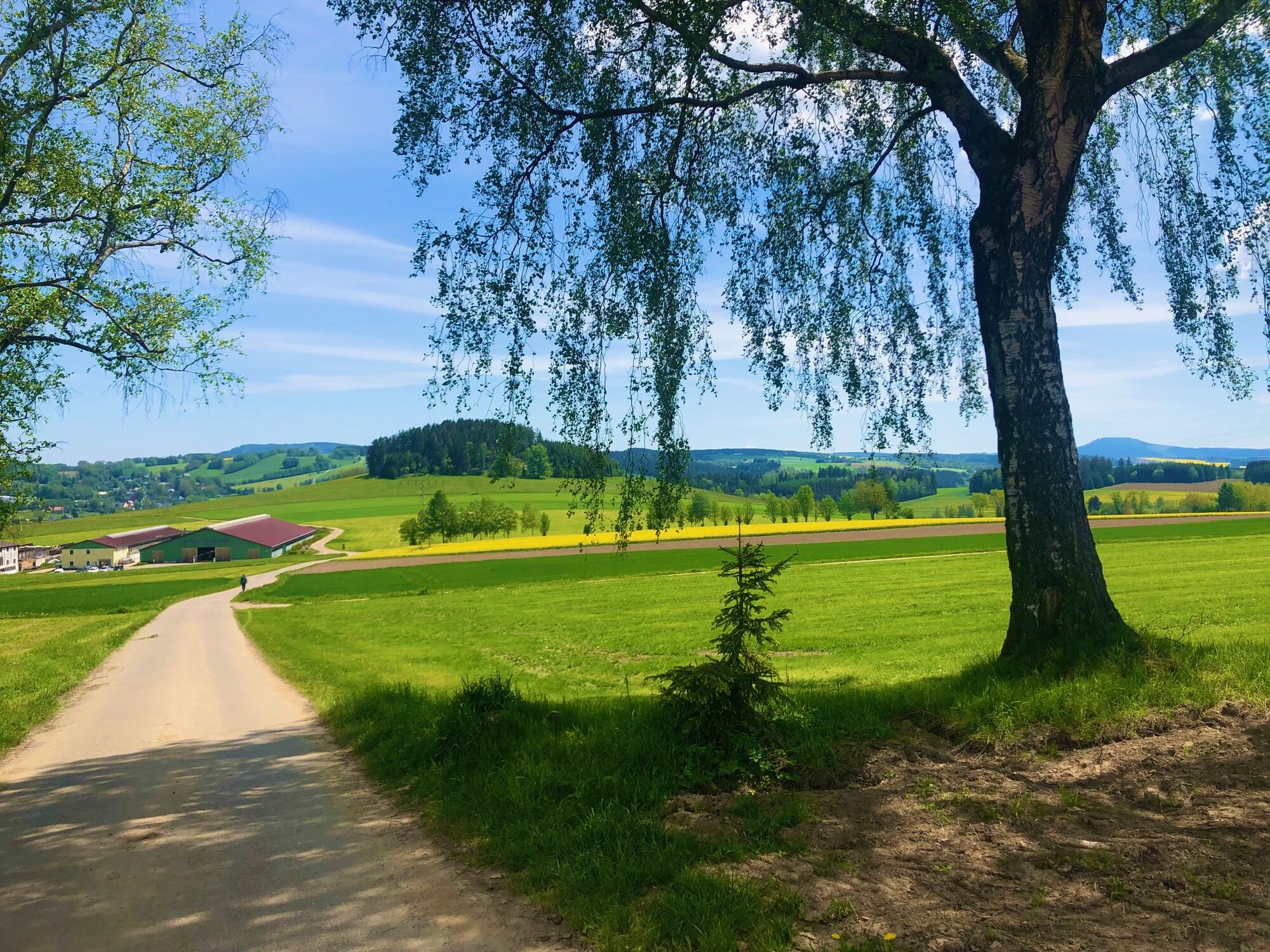
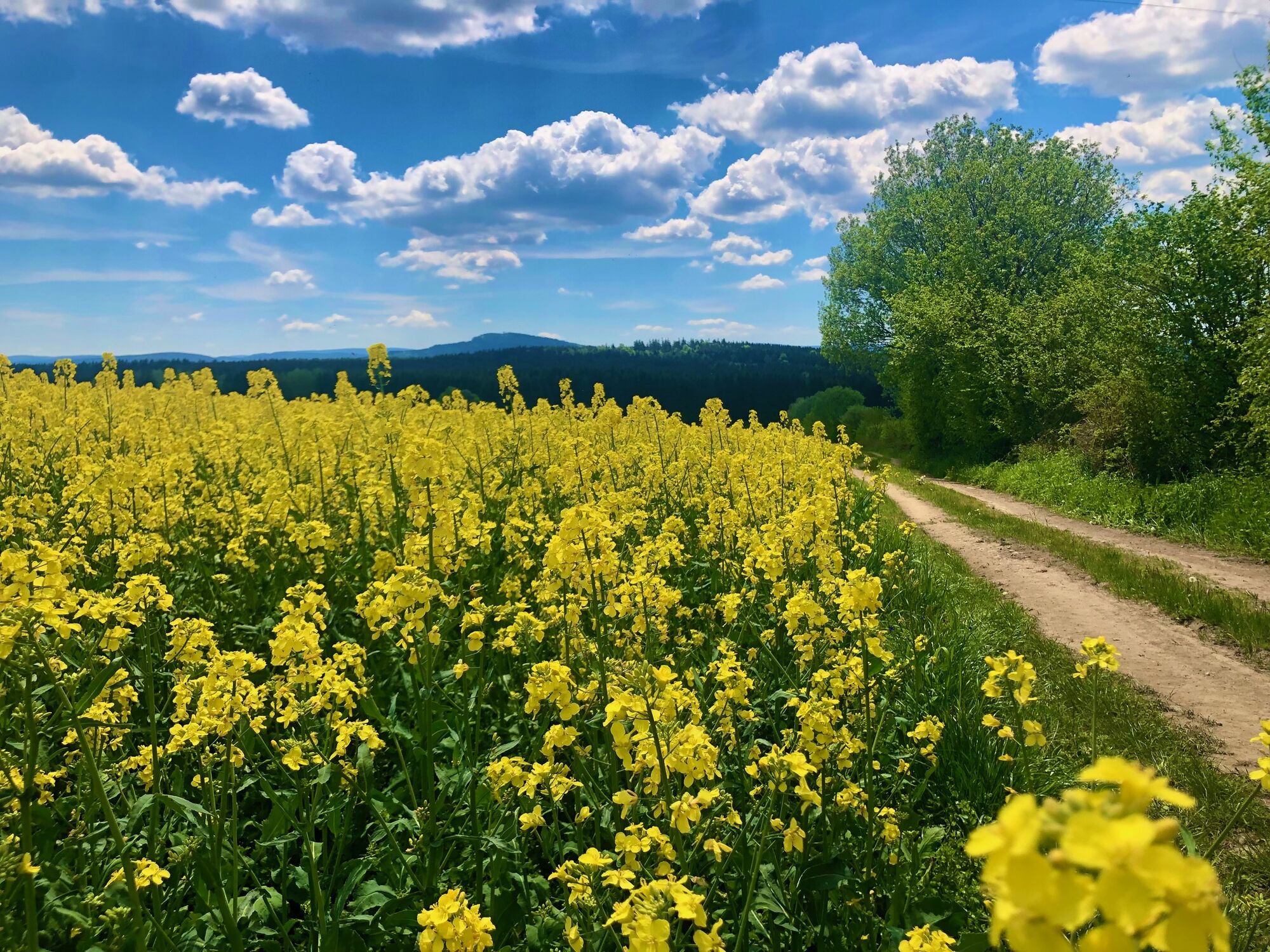

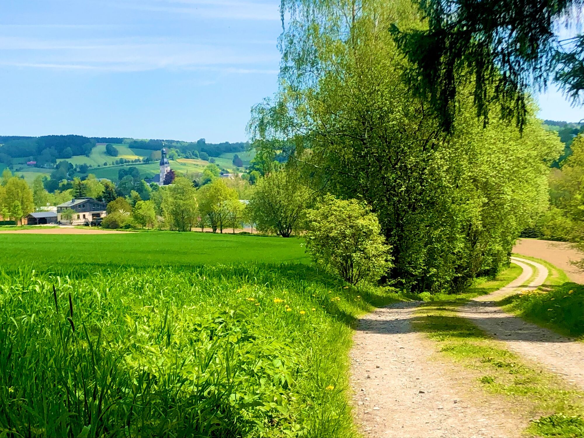
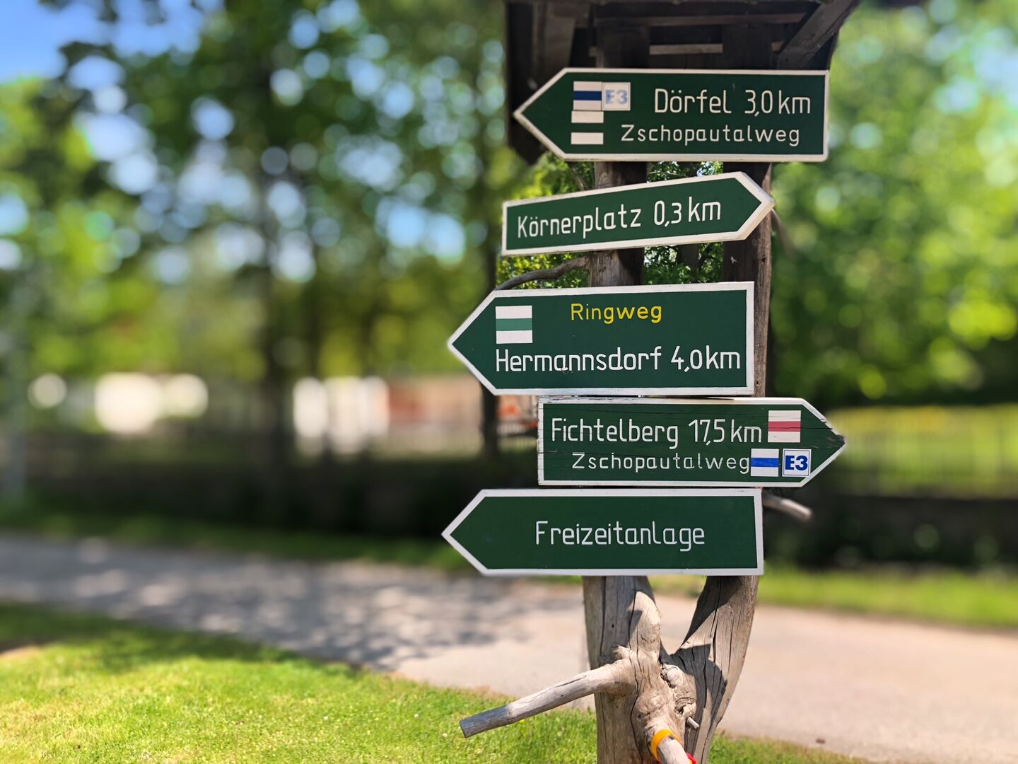
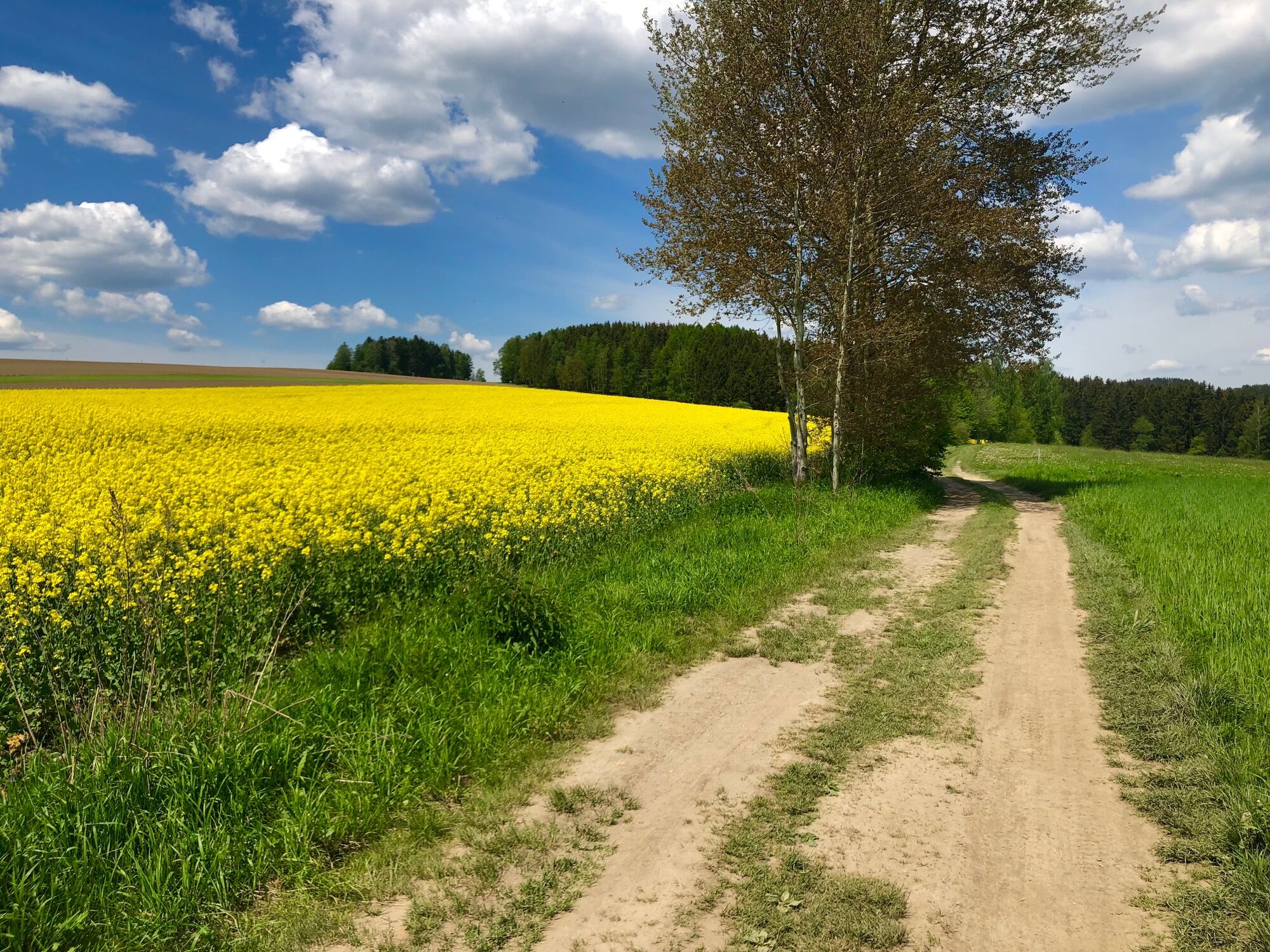
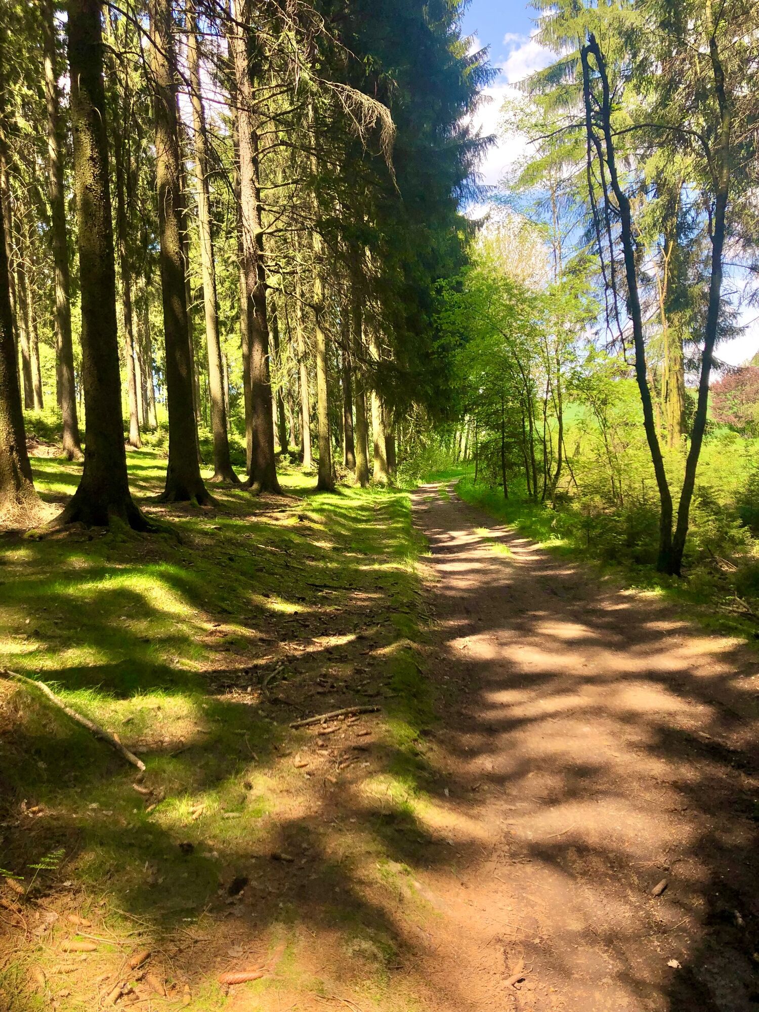
The hike begins at the church square by the large signpost. First you walk towards the town following the green markings past the town hall, across the market square to the castle and through the castle park to the wooden bridge over the Rote Pfütze. Then slightly uphill, always following the green markings, past barns to the leisure center. Continue along this path through the Hofbusch. After leaving the Hofbusch, the trail goes uphill along a Benjes hedge, past a bench with a beautiful view of Schlettau. The trail then descends into the forest again, crosses a small stream in the valley, the Seifenbach, and continues slightly uphill, past several benches, with a view of Dörfel and downhill again to a crossroads. Here you turn sharp left onto the old Elterlein-Annaberg post road and head steeply uphill, crossing the asphalted former LPG road and continuing on an asphalt road past the Hermannsdorf sports field to Hermannsdorfer Höhe. Once there, turn left onto the downhill field path, always paying attention to the green markings, cross a small section of forest until you reach a large meadow. Cross the meadow on the left-hand side, briefly enter the forest and then take the next forest path on the right and follow it to the Schlettau-Elterlein connecting road. The valley of the Rote Pfütze widens in front of you and you can see the popular Finkenburg restaurant on the right. The hike continues to the left for approx. 200 m along the road uphill. Then turn left again, following the green markings, onto a forest path. It leads to a lane, which we follow to the right and then after approx. 200 m turn right again onto a narrow forest path, which takes us through several hollows, so-called hollows, back onto the road in question. After walking a few meters on this road to the left, you reach a refuge coming out of the forest. Follow the path downhill past the hut until you reach the so-called Krumme Weg. Walk left along the Krumme Weg for approx. 3 km until you pass commercial buildings and reach the familiar road again. Turn right on the road and after a few meters you are in Schlettau. Pass Körnerplatz and turn into Mühlgasse, cross the Rote Pfütze and head uphill towards the church, reaching the starting point at Kirchplatz after approx. 200 m.
Áno
Áno
Áno
Sturdy shoes
By car via the B101 coming from Aue/Schwarzenberg. You can reach Schlettau by highway via the A72, exit Stollberg-West, follow the S258 to Scheibenberg and take the second exit at the traffic circle in the direction of Schlettau.
The bus stop "Schlettau - Mark" is just a few meters from the start and finish point of the circular walk.
There are various hiking parking spaces available in Schlettau. These include at the starting point of the church or along the route at the leisure center.
At the end of the Krummen Weg, it is worth taking a detour down to the Rote Pfütze to the "Grüner Zweig", a former mining tunnel.
Obľúbené výlety v okolí
-
Ehrenfriedersdorf-Waldgeisterweg-Greifensteine
svetloTuristika 7,33 km -
4,7
Schlettau circular hiking trail "On the steps of Ottomar Zahm"
strednáTuristika 11,0 km -
Schlettau circular hiking trail "Up to the Liebenstein"
strednáTuristika 15,0 km -
4,0
Vacation route Silver Road Excursion Annaberg-Oberwiesenthal-Ostrov
Motorrad 40,8 km -
5,0
Greifensteine und Binge von Geyer
strednáTuristika 15,7 km -
Around Crottendorf - pleasure tour
svetloCyklistika 20,2 km -
Silberstrasse vacation route - Annaberg-Geyer-Falkenbach excursion tour
Motorrad 27,6 km -
Schlettau cycle tour "Mittweida uphill and Zschopau downhill"
strednáMountainbike 44,5 km -
4,0
Panorama trail Schwarzenberg
strednáTuristika 13,8 km -
Ore Mountains ridge tour On the highest route through Saxony and Bohemia
ťažkéCyklistika 180,9 km
Turistika a stopovanie


Nenechajte si ujsť ponuky a inšpiráciu na ďalšiu dovolenku
Vaša e-mailová adresa bol pridaný do poštového zoznamu.