



From Wolkenstein to Zschopau - On the Zschopau Valley route



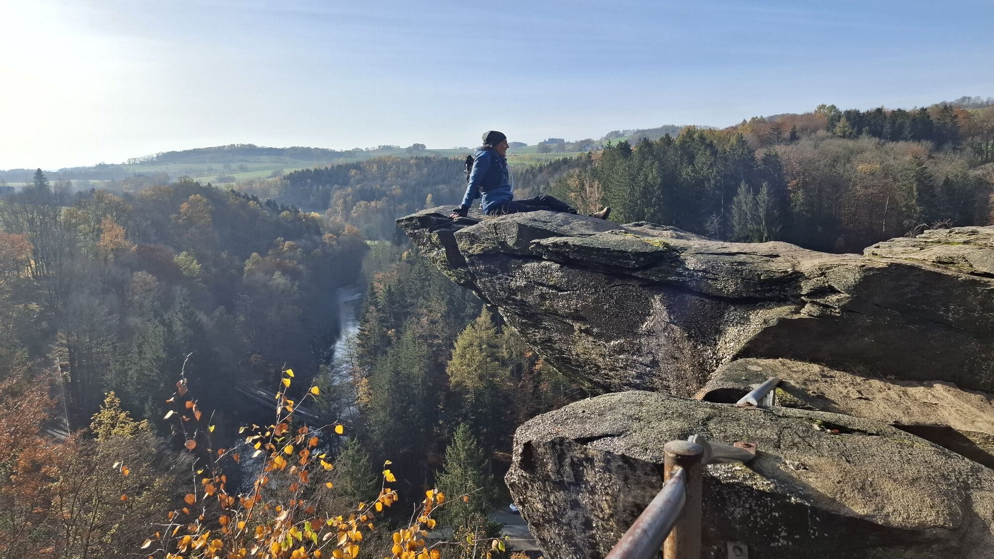

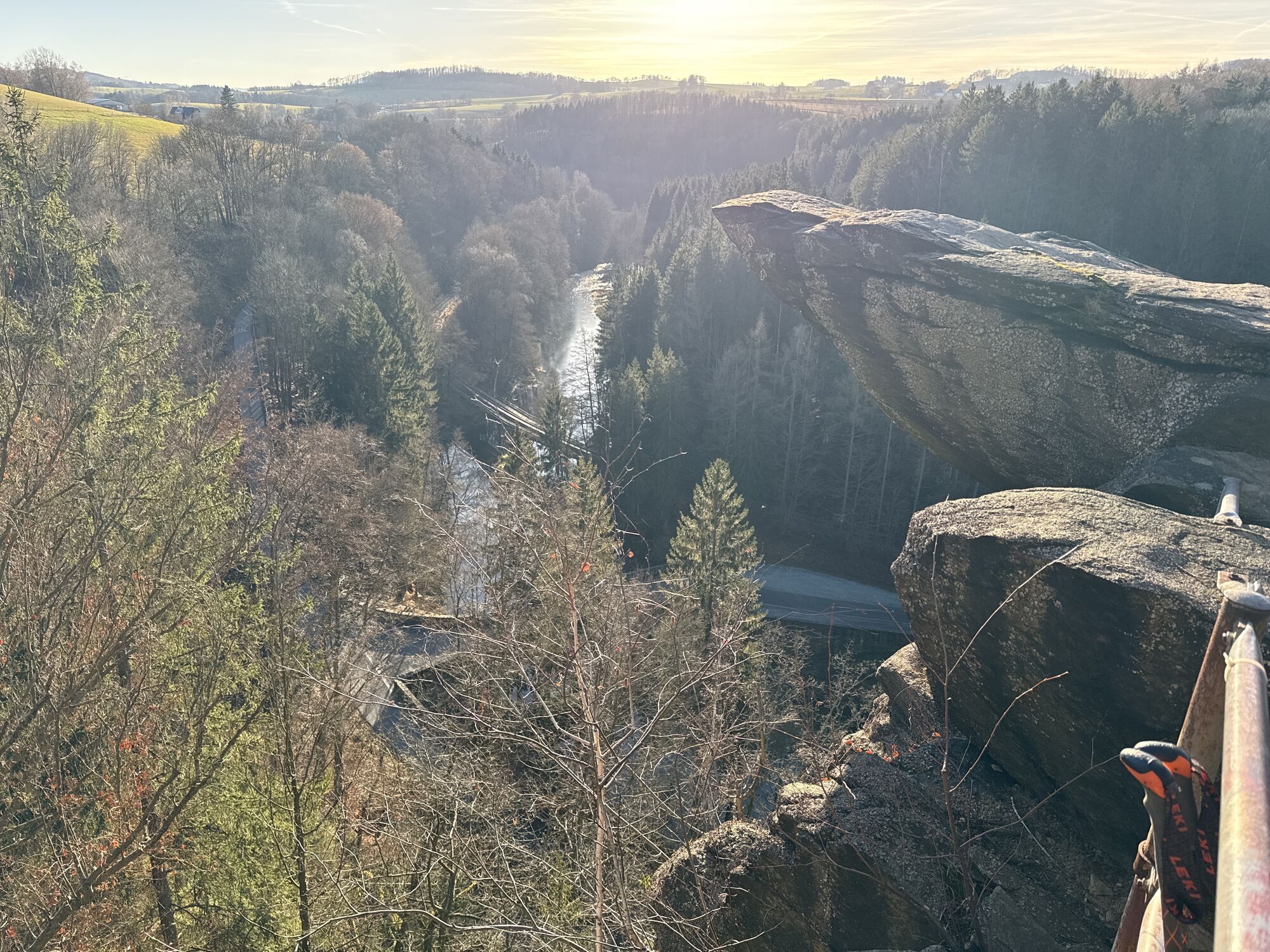
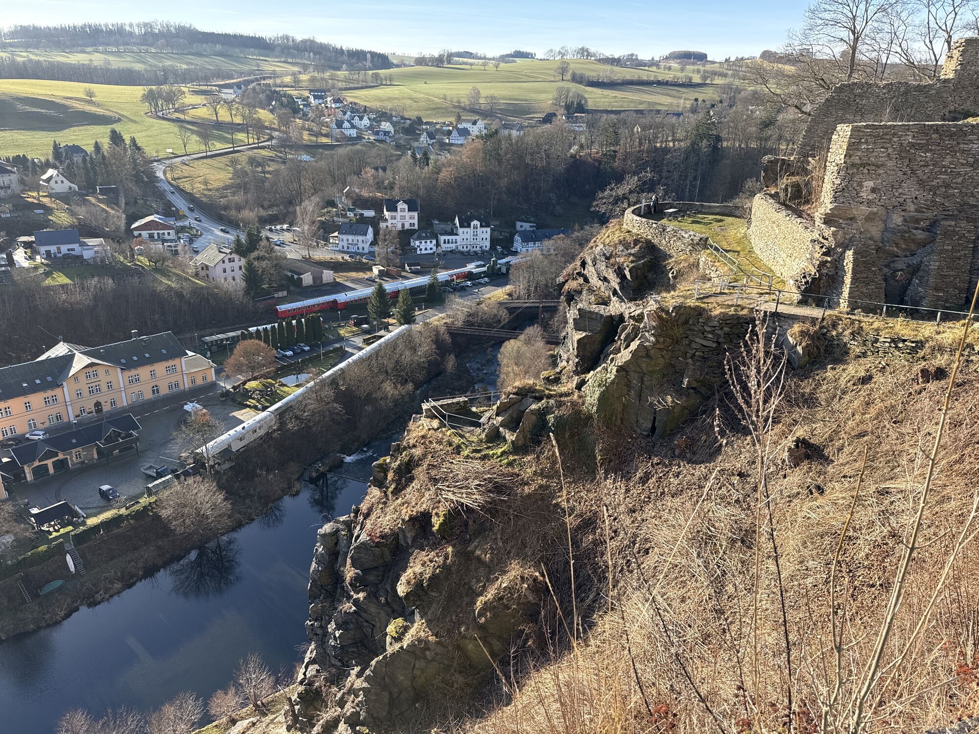
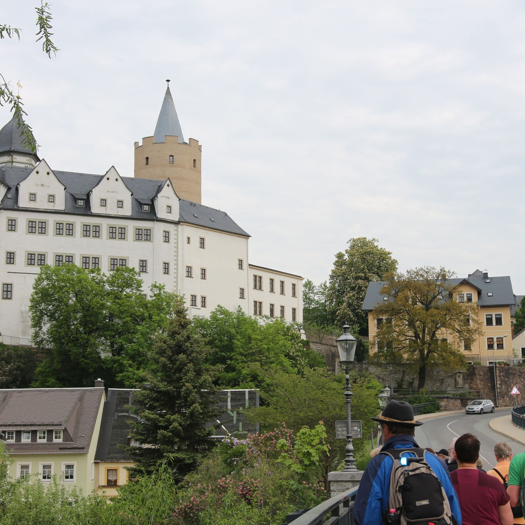
This route promises great views, castles, a fortress and lots of nature.
At the end of this beautiful stage on the Zschopau Valley route, the Erzgebirgsbahn (RB80) will comfortably take you back to your...
This route promises great views, castles, a fortress and lots of nature.
At the end of this beautiful stage on the Zschopau Valley route, the Erzgebirgsbahn (RB80) will comfortably take you back to your starting point.


Áno
With the Erzgebirgsbahn (RB80) Chemnitz - Cranzahl (Annaberg-Buchholz)
Get off at Wolkenstein or Zschopau
Digital Hiking Badge
Digital Hiking Badge:
The hike is part of the Digital Hiking Badge "For Train Enthusiasts". Download the SummitLynx app, activate your phone's GPS and check in at remarkable check-in points. These take you on a total of 10 routes into the world of viaducts, train stations and fascinating museums on the topic.
The special feature of our Digital Hiking Badges is the possibility to create a personal tour book with pictures, texts and locations in a contemporary way.
Obľúbené výlety v okolí
-
4,5
Rocky idyll and ridge view (Wolkenstein)
strednáTuristika 15,2 km -
4,5
Alpine hiking trail - town of Wolkenstein/Warmbad (Boundless. Wild romantic nature experiences)
strednáTuristika 10,1 km -
Ehrenfriedersdorf-Waldgeisterweg-Greifensteine
svetloTuristika 7,33 km -
4,5
TK 9 - Wiesaer Höhenweg
strednáTuristika 9,46 km -
4,0
Off to the "Crown of the Ore Mountains"
strednáTuristika 9,51 km -
5,0
Discover Adorf and the Eisenweg
strednáTuristika 11,5 km -
5,0
Greifensteine und Binge von Geyer
strednáTuristika 15,7 km -
4,0
Via Mala
svetloTuristika 5,36 km -
3,5
Historical circular hiking trail - Witzschdorf
strednáTuristika 7,38 km -
5,0
Wiesenbad spa circular hiking trail
Turistika 16,2 km

Turistika a stopovanie


Nenechajte si ujsť ponuky a inšpiráciu na ďalšiu dovolenku
Vaša e-mailová adresa bol pridaný do poštového zoznamu.


