


In the south of the Wolkenstein rocky area with mining artefacts
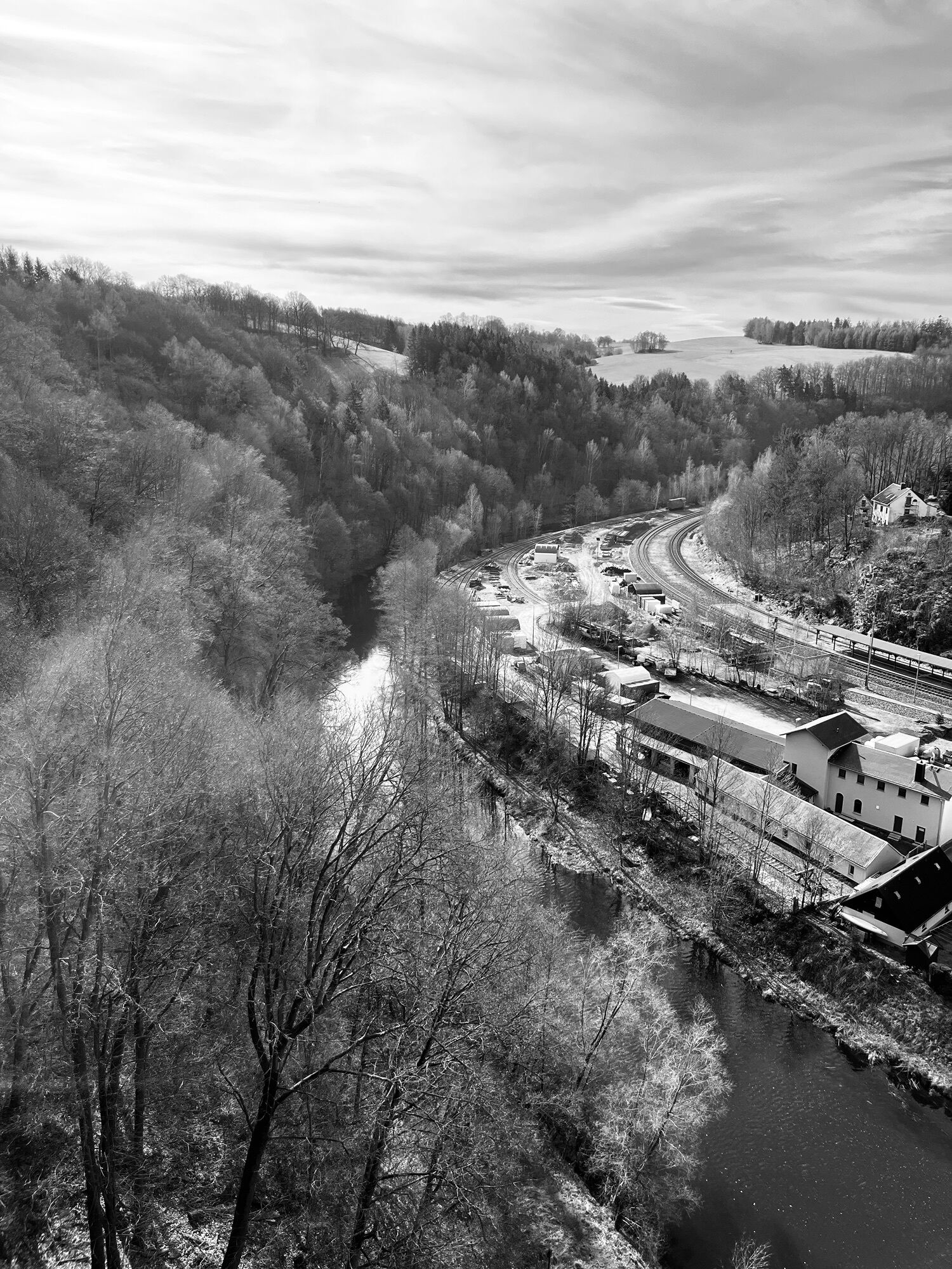
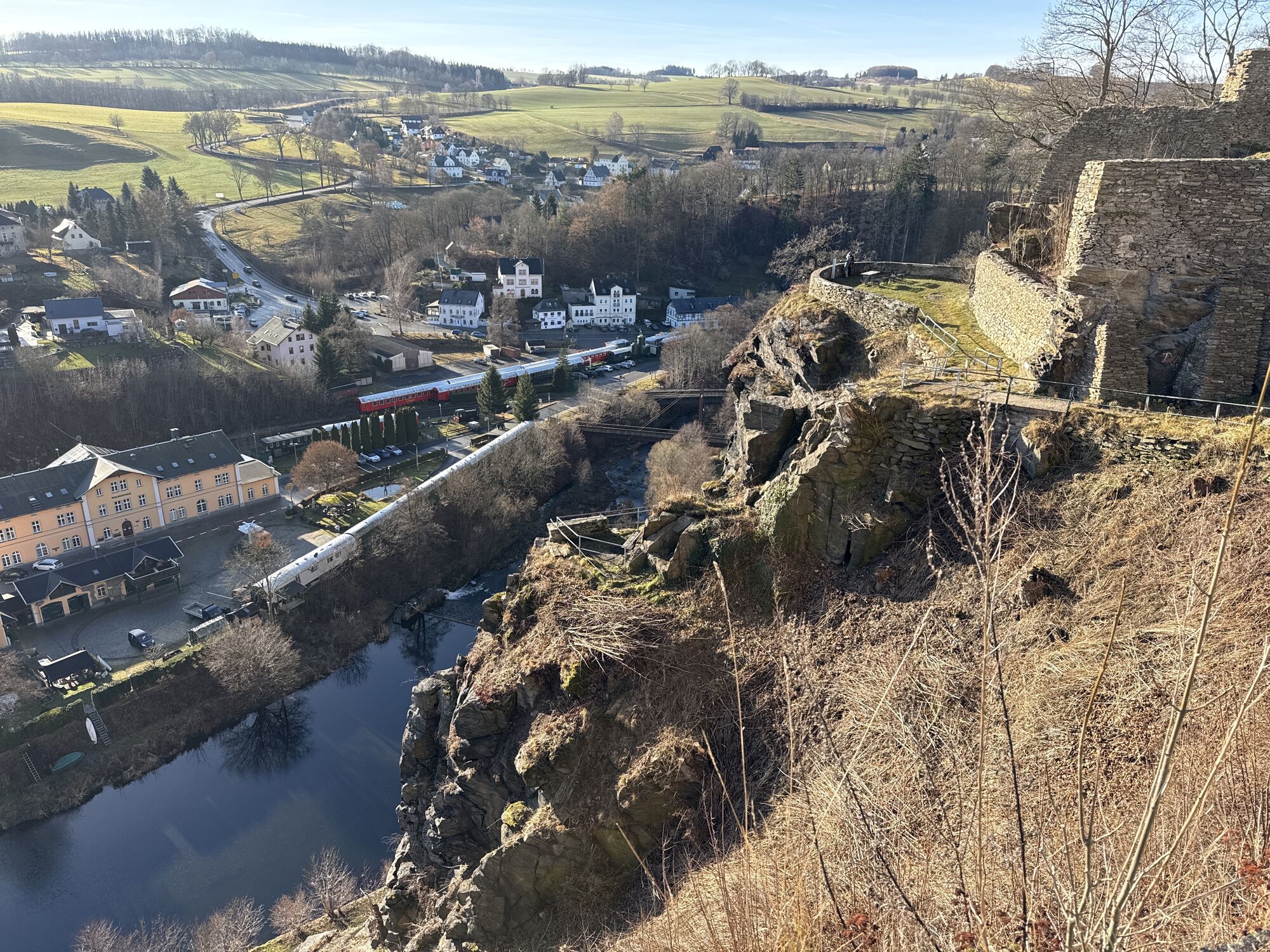
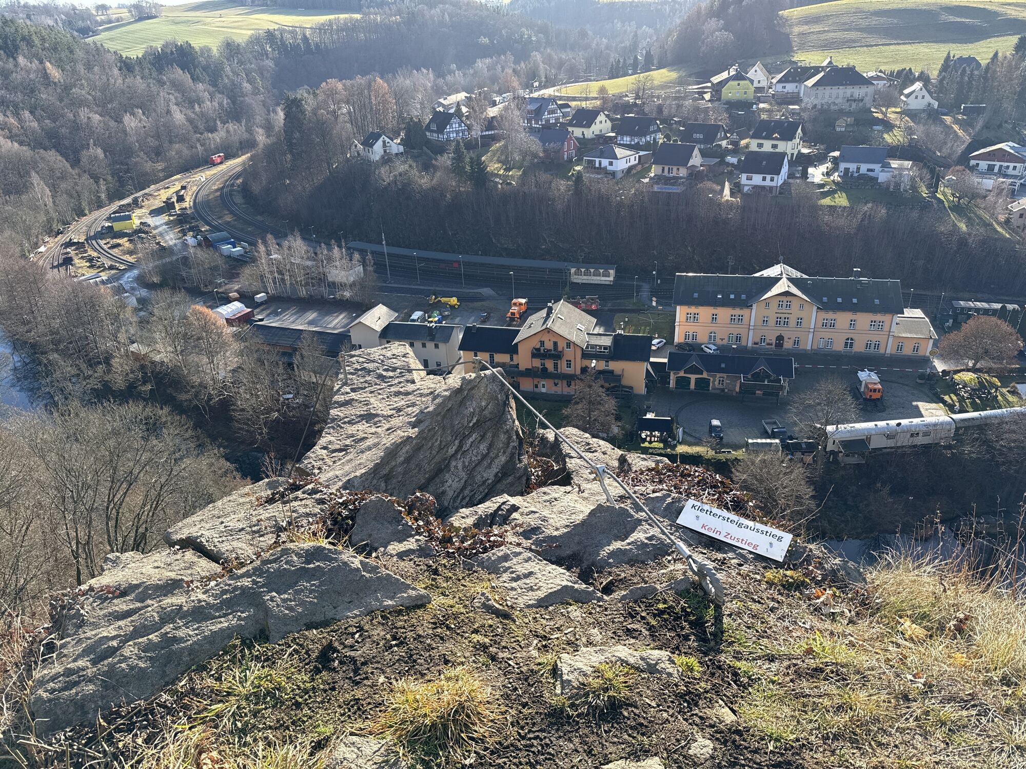
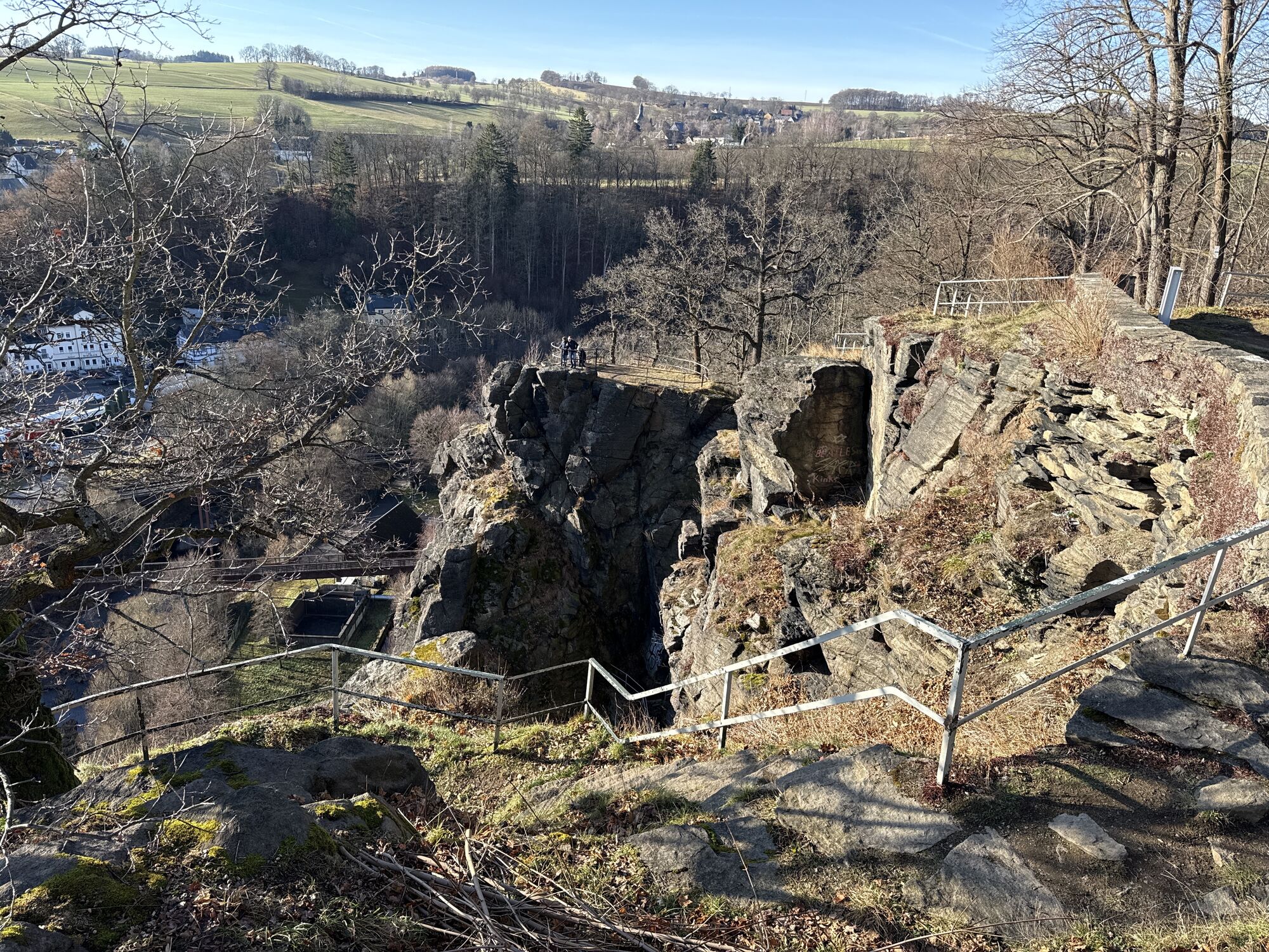
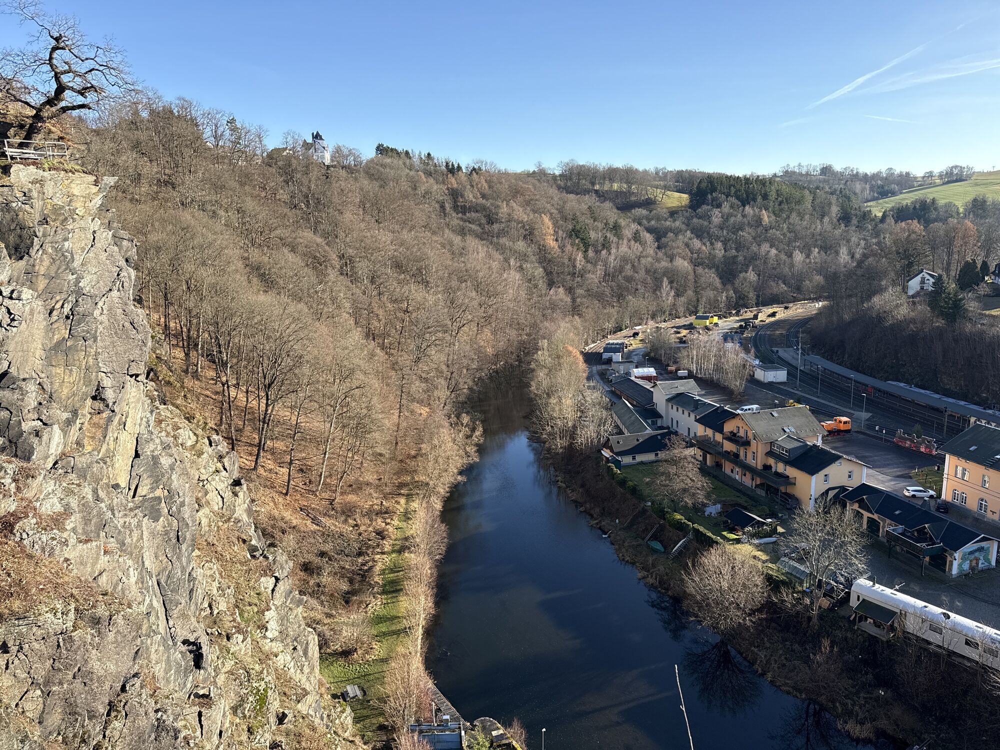


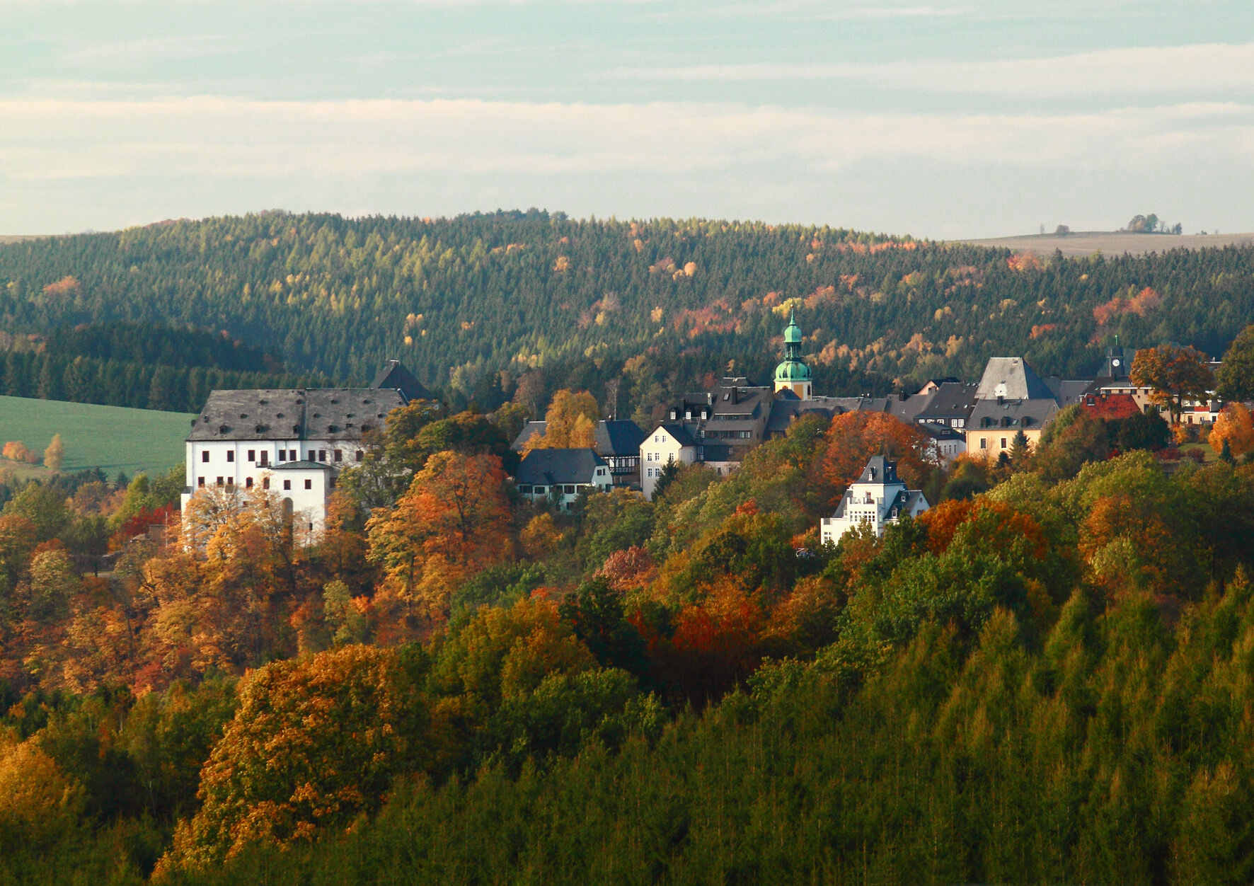
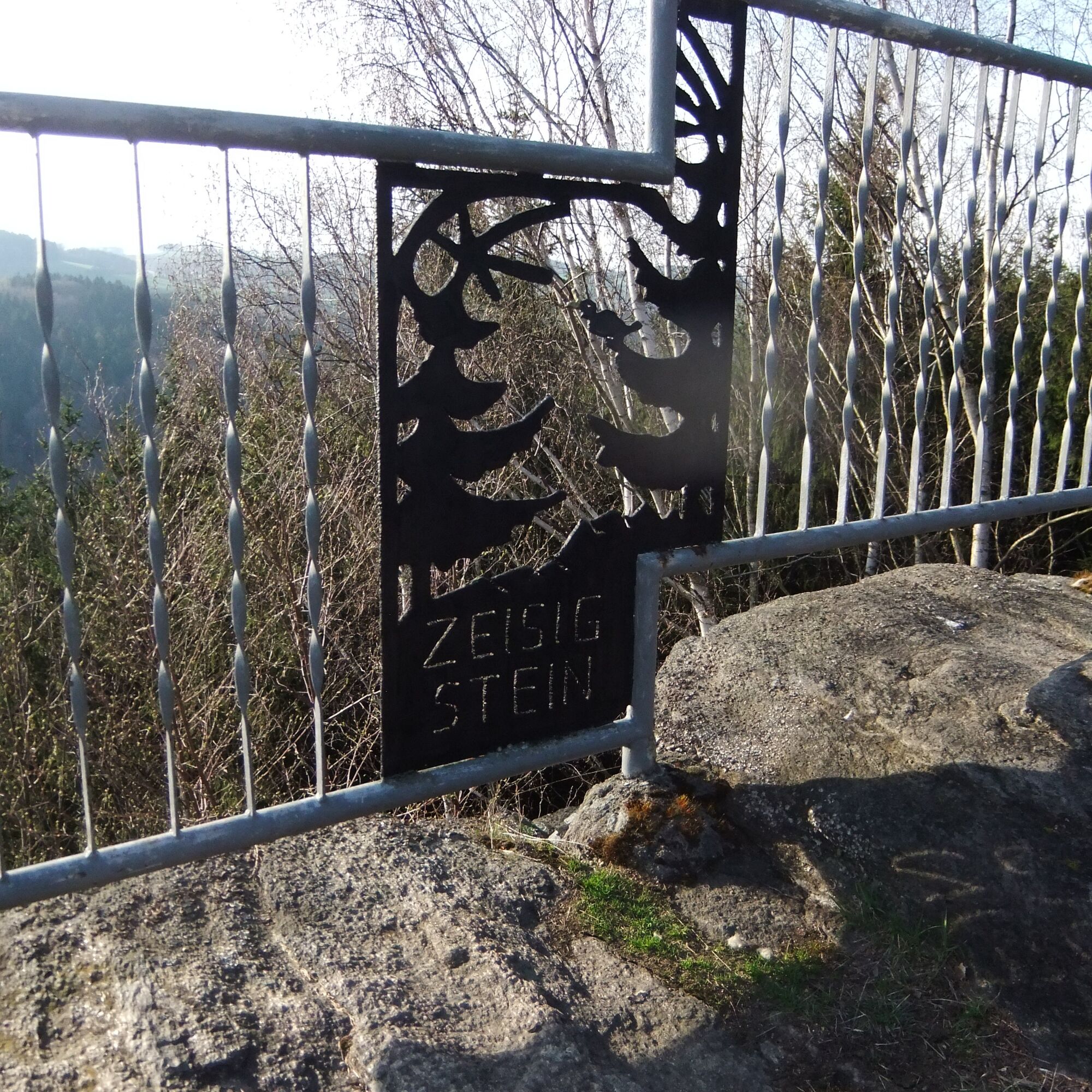
From the castle, we walk along the Große Kirchgasse to the market. Opposite the town hall, our red-marked path begins through the gateway out of town and soon downhill into the Zschopau valley. Before we cross a small stone arch bridge, we change to the green markings. The path gradually climbs up to the Zeisigstein, whose sunny south face reaches the confluence of the Zschopau and Preßnitz rivers 100 m below. The return tour through the Kohlau outlying area (white-yellow-white) offers views of the Annaberger Land mountains and the forest hoof villages of Schönbrunn and Falkenbach.
Hiking tips
Between Kohlau and Wolkenstein, you can alternatively hike along the entire green marked trail. However, this section, which is even higher up, is mostly asphalted.
Áno
Áno
Via the B174 and B101 you can quickly reach Wolkenstein via Heinzebank
Highway exit Chemnitz Süd ( A72 )
https://www.vms.de/fahrplan/fahrplanauskunft/
Bus: from/to -Wolkenstein Markt
Annaberg Buchholz : 499
Marienberg : 489, 499
Bus from/to - Wolkenstein, Annaberger Straße
Zschopau: 216, 217
Marienberg : 216
Dresden/Freiberg :400
Annaberg-Buchholz: 400
Train: from/to Wolkenstein Bf
RB 80
Chemnitz - Annaberg-Buchholz (Cranzahl)
Fastest connection from Chemnitz:
Chemnitz Omnibusbahnhof :207 to Olbernhau ( hourly )
Change at: Zschopau bus station : 216 to Marienberg Markt
(For exact times please use the vms timetable information above)
Parking is available on the market square, Schlossplatz and the large parking lot on Annaberger Straße

Obľúbené výlety v okolí
-
4,8
Katzenstein - Schwarzwassertal - Katzenstein
strednáTuristika 15,5 km -
5,0
Rocky idyll and ridge view (Wolkenstein)
strednáTuristika 15,2 km -
4,7
Schlettau circular hiking trail "On the steps of Ottomar Zahm"
strednáTuristika 11,0 km -
5,0
Alpine hiking trail - town of Wolkenstein/Warmbad (Boundless. Wild romantic nature experiences)
strednáTuristika 10,1 km -
Ehrenfriedersdorf-Waldgeisterweg-Greifensteine
svetloTuristika 7,33 km -
4,5
TK 9 - Wiesaer Höhenweg
strednáTuristika 9,46 km -
3,5
Historical circular hiking trail - Witzschdorf
strednáTuristika 7,38 km -
4,0
Via Mala
svetloTuristika 5,36 km -
5,0
Greifensteine und Binge von Geyer
strednáTuristika 15,7 km -
5,0
Wiesenbad spa circular hiking trail
Turistika 16,2 km
Turistika a stopovanie


Nenechajte si ujsť ponuky a inšpiráciu na ďalšiu dovolenku
Vaša e-mailová adresa bol pridaný do poštového zoznamu.