






Day route Ridge path 12 Around Olbernhau on the EB and ridge path
Follow the white-red-white marking (EB) towards the station. Continue on Rübenauer Weg. At the Hammerweg junction continue on the white-blue-white marking to the Großer Steinbach. From there on the ridge...
Follow the white-red-white marking (EB) towards the station. Continue on Rübenauer Weg. At the Hammerweg junction continue on the white-blue-white marking to the Großer Steinbach. From there on the ridge path past the Stößerfelsen to the Grünthaler Straße hiking car park. From there on the white-red-white marking back to the starting point.

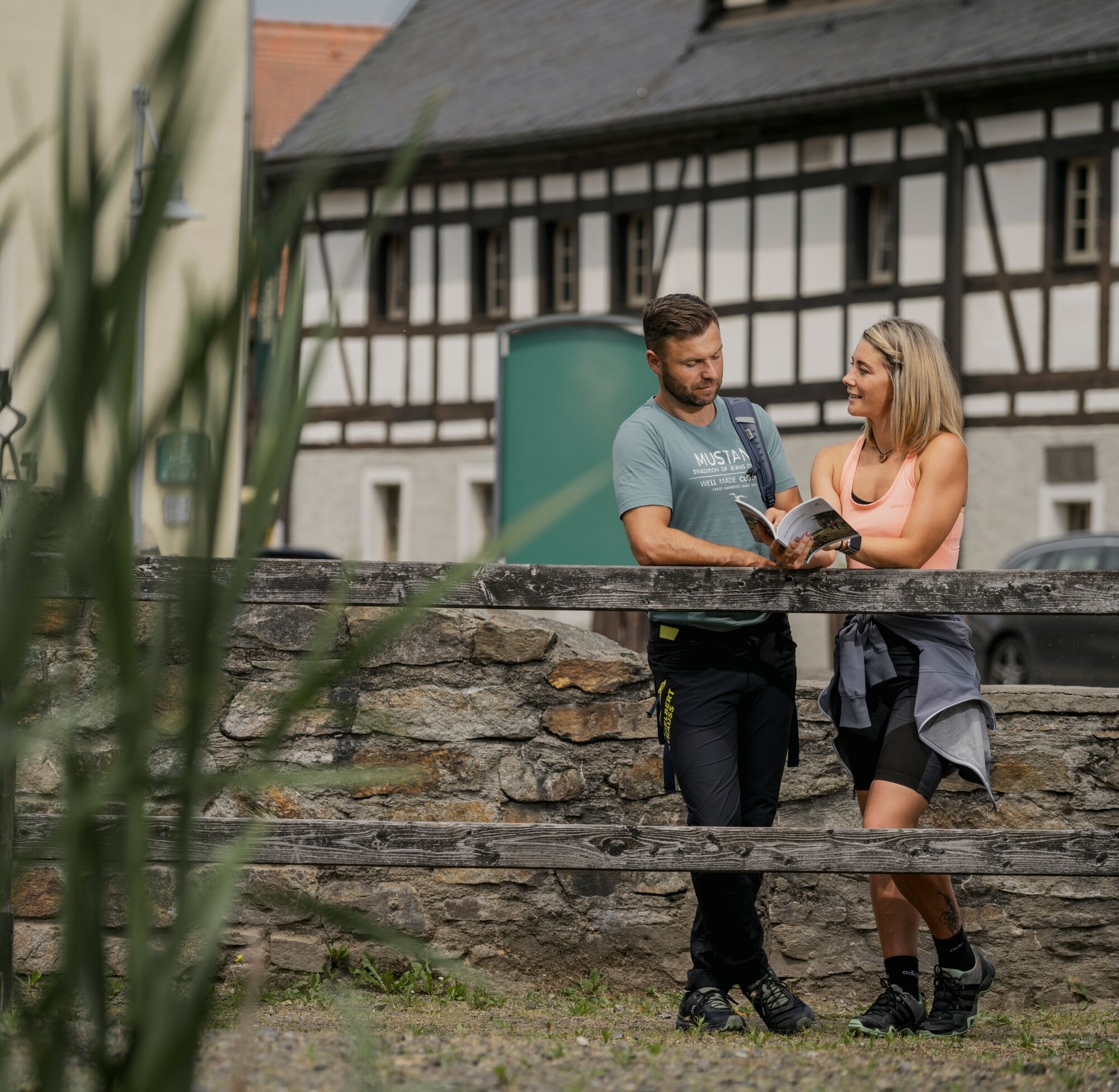
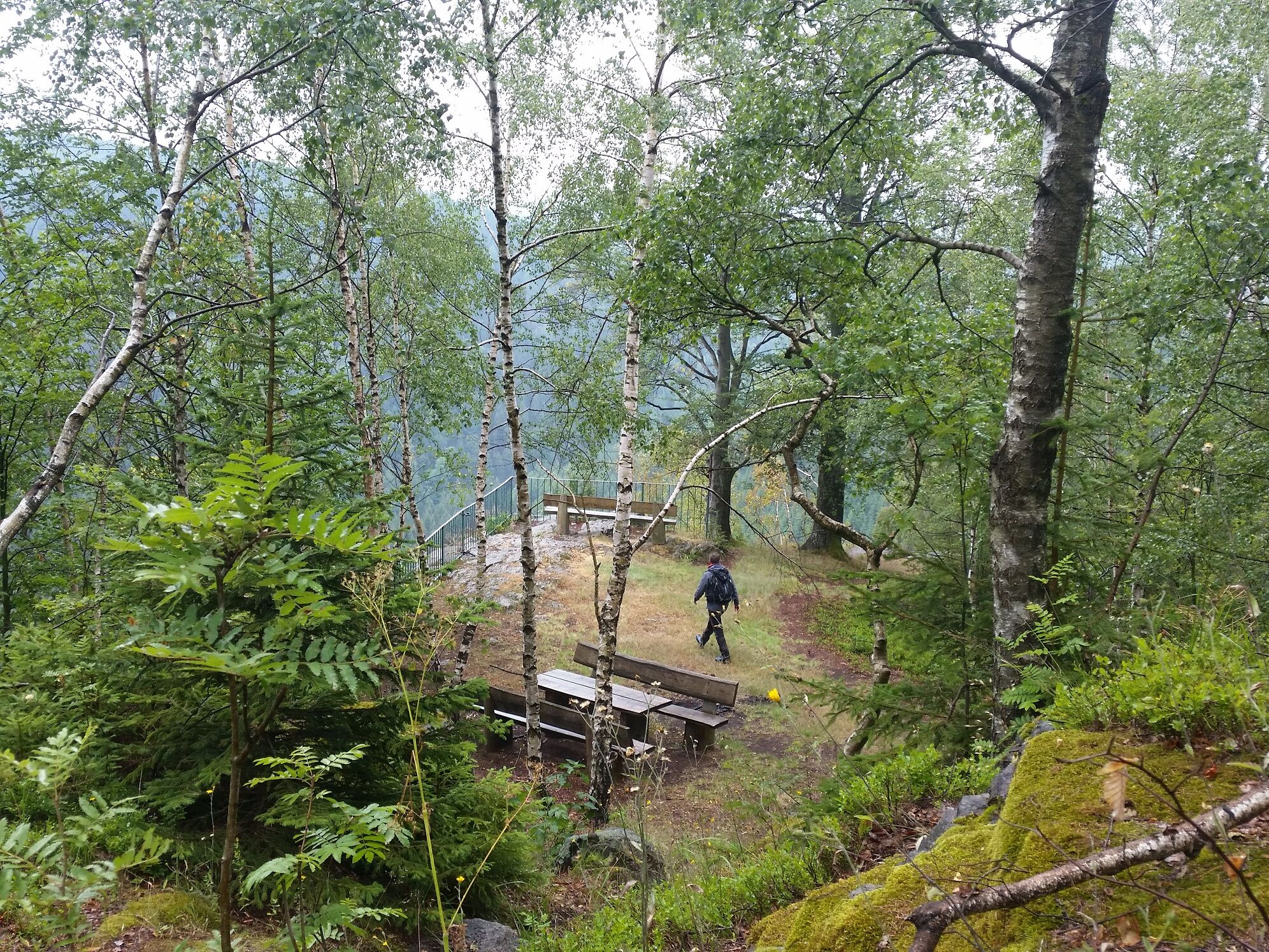


Please do not forget packed lunch and weatherproof clothing!
by bus line 207 Chemnitz-Olbernhau,
by Flöhatalbahn to Olbernhau station or Grünthal station
- At the Rittergut car park (city centre)
- At the Rothenthal car park
Start of the route also possible at the Rothenthal car park.
Obľúbené výlety v okolí
-
4,8
Katzenstein - Schwarzwassertal - Katzenstein
strednáTuristika 15,5 km -
5,0
First German bell hiking trail
ťažkéTuristika 23,1 km -
In der Mitte thront der Schwartenberg - No 7 -
strednáTuristika 8,64 km -
5,0
Circular hike to the Rauschenbach reservoir
Turistika 9,52 km -
3,0
Day tour Kammweg around Neuhausen and the Schwartenberg
Turistika 12,5 km -
4,0
Pockau - discover a paradise
strednáTuristika 14,1 km -
RR ERZ T10 Through the Schweinitz Valley to the toy village of Seiffen
strednáCyklistika 32,4 km -
5,0
Ore Mountain Cycle Main Route Krusnohorska Magistrala R23 Jeleni-Decin
strednáCyklistika 171,0 km -
3,5
Neuhausen/Erzgebirge nach Seiffen über den Schwartenberg
svetloTuristika 14,3 km -
Neuhausen Panorama Trail -No 9-
strednáTuristika 10,1 km
Turistika a stopovanie


Nenechajte si ujsť ponuky a inšpiráciu na ďalšiu dovolenku
Vaša e-mailová adresa bol pridaný do poštového zoznamu.





