


At the Eibenstock dam / Hundshübler circular hiking trail
Úroveň náročnosti: T1
Kneipp facilities ... suitable for bicycles ...suitable for baby carriages ... great views ... refreshment stop ... Cacher loop
Whether on foot, by bike, with a baby carriage or wheelchair everything is...
Kneipp facilities ... suitable for bicycles ...suitable for baby carriages ... great views ... refreshment stop ... Cacher loop
Whether on foot, by bike, with a baby carriage or wheelchair everything is possible...
(possibly at the sign "Ausblick Talsperre" there are roots on the path, so it is not suitable for wheelchair users. But you can try it, it's worth it)
Goldener Hirsch Mon-Tues day off / Wed-Sun 11-20h Tel.: 037462/639975

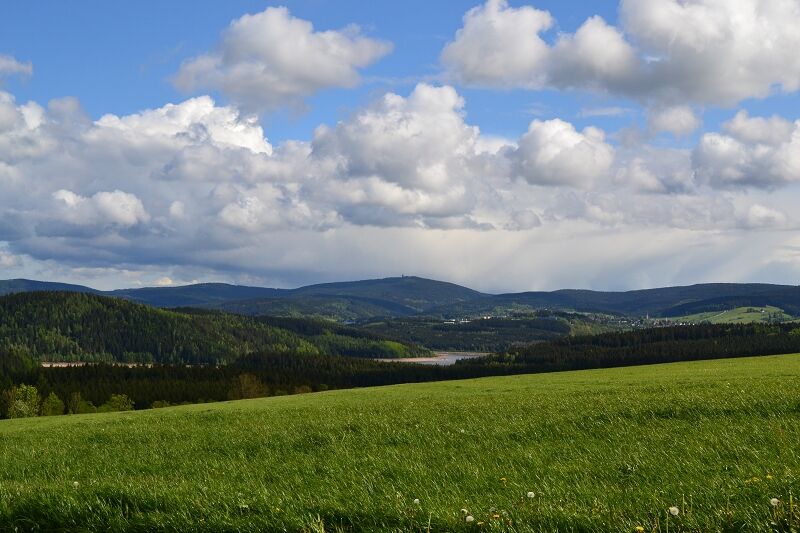
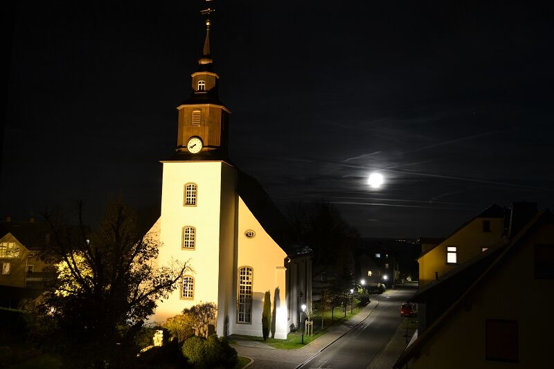
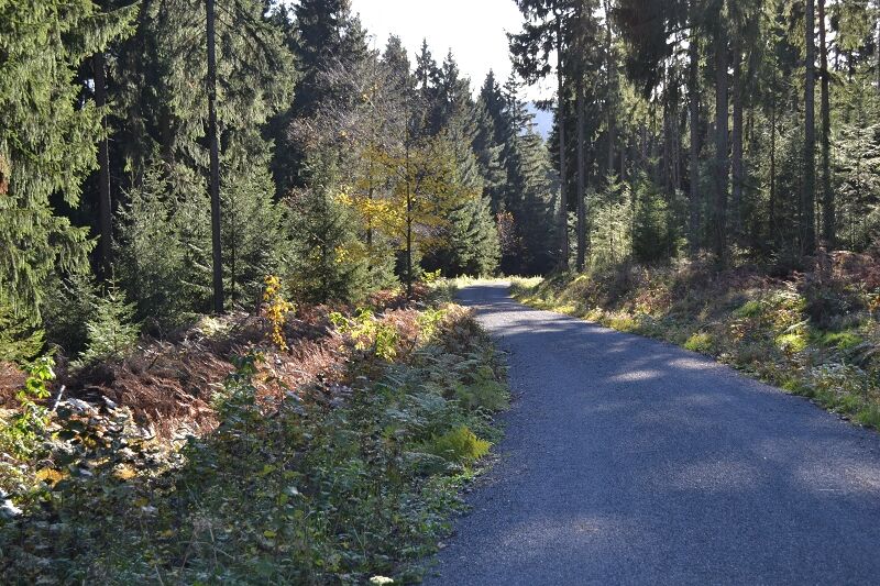
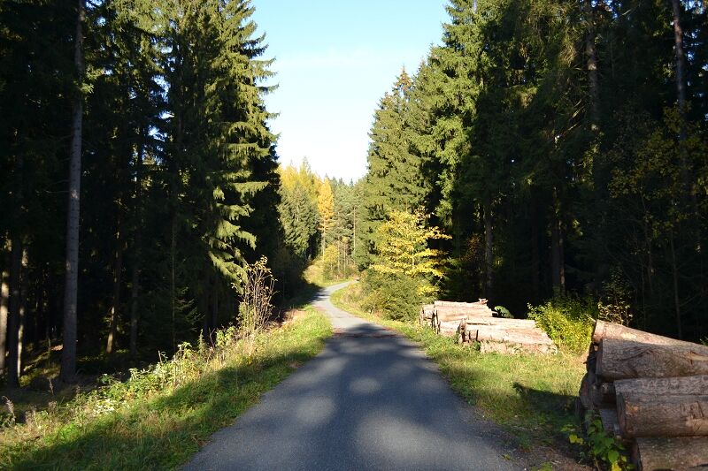
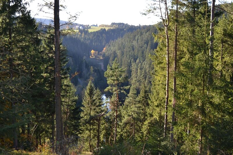
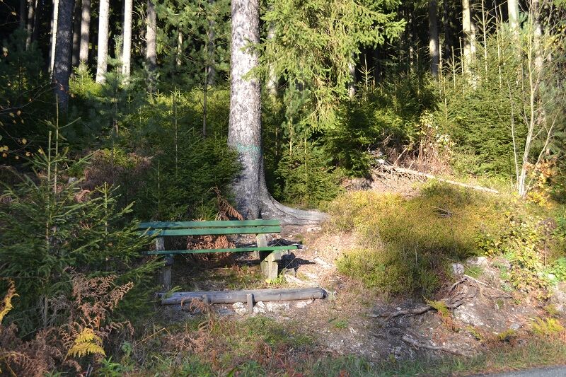
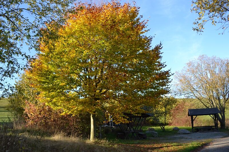
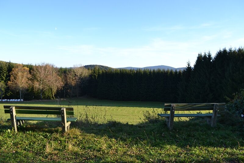
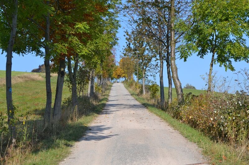
Park in the parking lot at the cemetery, then walk through the village past the church (at the church tower on the right, the path leads to the inn). If you continue past the church, you will pass the 4 chestnut trees. At the next crossroads, turn left up the hill to Viechzig, keep left at the crossroads, past the Nadlerhaus to the last house on the road and then follow the path to the end. You have finally reached the viewpoint with a magnificent view of the Eibenstock and Auersberg valley barrier, also known as "Little Canada". On a good day, you can see the Keilberg and the Geyer transmitter tower. Of course you can also take a rest, there is a bench and a table. Then walk a few meters back past the Nadelhaus and turn left towards the forest at the crossroads by the Nadlerhaus. There are a few benches to rest on in the forest. To get a view towards the dam wall at water level, you have to walk down the path at the next signpost "Ausblick Talsperre" (be careful, there are roots on the path and you need a little stamina with a baby carriage), once there you can see the dam and its arms and the dam wall. Then it goes up the path again and right on a normal path out of the forest. After a few meters uphill to the Kneipanlage and meadow orchard. Here you can rest and dangle your feet in the water. After the break, continue along the path to the next crossroads. Turn left up the hill. When you reach the top of Lärchenstraße, you have a beautiful view of the Auersberg (there are also benches to rest on). Just a few meters back to the parking lot and you've completed the loop. Have fun hiking.
Áno
Áno
Áno
Normal footwear is sufficient.
Predominantly firm surface.
z. Between Lisbon and Porto, for example, the infrastructure is not yet so well developed. The stages from one accommodation to the next can therefore be long and adventurous.
From direction Schneeberg B169 junction Lichtenau / Hundshübel
From direction Rodewisch B169 junction Lichtenau / Hundshübel
There is a bus connection from Eibenstock or Schneeberg. Please check the timetable.
http://www.rve.de/fahrplan/regional/
Bus route 370 from Schneeberg or Schönheide
Bus route 372 from Eibenstock
Parking lot at the church / Dorfstraße 34, 08328 Stützengrün OT Hundshübel
Parking lot at the Nadlerhaus / Viechzig 18, 08328 Stützengrün OT Hundshübel
Parking lot at the cemetery / Lärchenstraße 3, 08328 Stützengrün OT Hundshübel
T1
A visit to the Eibenstock dam on the top of the wall is well worthwhile. There is the Marienweg, which starts at the same place. The town of Eibenstock is also worth a visit. There are several points of the UNESCO World Heritage Site "Montanregion Erzgebirge / KrušnohoÅí" nearby
*Mining area Schneeberg these include:
High Forest Mining Landscape
Schneeberg Mining Landscape
Schneeberg-Neustädtel mining landscape
Historic old town of Schneeberg
White stag mine
Ore processing plants Siebenschlehen
Sauschwart mine
Daniel mine
Company Fundgrube
Felt pond
Wolfgang Maßen Fundgrube
St. Anna am Freudenstein treasure trove
Schindler's blue paint factory
and
*Schwarzenberg mining area
Mining landscape Eibenstock
Mining landscape Roter Berg

Obľúbené výlety v okolí
-
Rundwanderung Talsperre Sosa
svetloTuristika 7,95 km -
2,0
Sosa Talsperre - Blauenthaler Wasserfall
ťažkéTuristika 9,03 km -
Segwayfahrt bei Eibenstock
svetloMountainbike 15,2 km -
4,0
Burg Stein- Alexanderstein -Prinzenhöhle - Burg Stein ,Hartenstein, Deutschland Hartenstein, Deutschland
svetloTuristika 9,51 km -
4,7
Burg Stein-Prinzenhöhle Hartenstein-Romantik Hotel Waldidyll
svetloTuristika 7,56 km -
5,0
Day route Ridge path 25 From Auersberg to the Carlsfeld dam and back
ťažkéTuristika 20,4 km -
Burg Stein - Prinzenhöhle - Bastei (Mehltheuer) - Burg Stein ,Hartenstein, Deutschland Hartenstein, Deutschland
strednáTuristika 13,9 km -
3,0
At the Eibenstock reservoir / Marienweg
strednáTuristika 8,64 km -
30 km - Loop of the Three-Reservoir Marathon Eibenstock
strednáMountainbike 33,4 km -
Langenweißbach, Talsperre Amselbach und Weißbach , z. T. urig ,querfeldein Langenweißbach, Deutschland
strednáTuristika 8,93 km

Turistika a stopovanie


Nenechajte si ujsť ponuky a inšpiráciu na ďalšiu dovolenku
Vaša e-mailová adresa bol pridaný do poštového zoznamu.