


Grossarltal: 3-day hike across Tappenkarsee to the Ellmautal
Fotografie našich používateľov
-
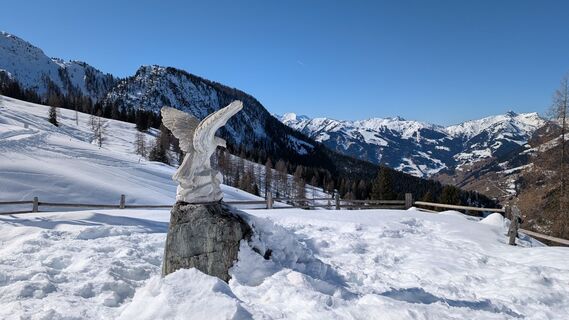
 © PfefferamVytvorené dňa 27.02.2026
 -
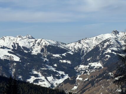 © Julius ScholzVytvorené dňa 23.01.2026
 -
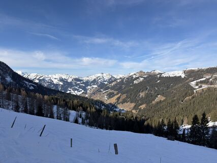 © Julius ScholzVytvorené dňa 23.01.2026
 -
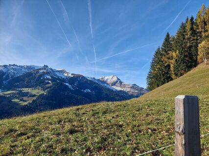 © Andrea MahringerVytvorené dňa 29.10.2025
 -
 © Andrea MahringerVytvorené dňa 29.10.2025
 -
 © Andrea MahringerVytvorené dňa 29.10.2025
 -

 © Peter De Smedt2Vytvorené dňa 08.10.2025
 -
 © Peter De Smedt2Vytvorené dňa 08.10.2025
 -
 © Peter De Smedt2Vytvorené dňa 08.10.2025
 -
 © Peter De Smedt2Vytvorené dňa 08.10.2025
 -
 © Peter De Smedt2Vytvorené dňa 08.10.2025
 -
 © Peter De Smedt2Vytvorené dňa 08.10.2025
 -
 © Peter De Smedt2Vytvorené dňa 08.10.2025
 -
 © Hannah AnyanVytvorené dňa 27.09.2025
 -
 © Hannah AnyanVytvorené dňa 27.09.2025
 -
 © Hannah AnyanVytvorené dňa 27.09.2025
 -
 © Hannah AnyanVytvorené dňa 27.09.2025
 -
 © Hannah AnyanVytvorené dňa 27.09.2025
 -
 © Hannah AnyanVytvorené dňa 27.09.2025
 -
 © Hannah AnyanVytvorené dňa 27.09.2025
 -
 © Hannah AnyanVytvorené dňa 27.09.2025
 -
 © Hannah AnyanVytvorené dňa 27.09.2025
 -
 © Hannah AnyanVytvorené dňa 27.09.2025
 -

 © stéphanie dalla-faveraVytvorené dňa 20.09.2025
 -
 © Olaf SchmidtVytvorené dňa 07.09.2025
 -
 © Noah RoeVytvorené dňa 07.09.2025
 -
 © Noah RoeVytvorené dňa 07.09.2025
 -
 © Helmut Wagner 2Vytvorené dňa 19.08.2025
 -
 © Helmut Wagner 2Vytvorené dňa 19.08.2025
 -
 © Helmut Wagner 2Vytvorené dňa 19.08.2025
 -
 © Helmut Wagner 2Vytvorené dňa 19.08.2025
 -
 © Helmut Wagner 2Vytvorené dňa 19.08.2025
 -
 © Helmut Wagner 2Vytvorené dňa 19.08.2025
 -
 © Helmut Wagner 2Vytvorené dňa 19.08.2025
 -
 © Helmut Wagner 2Vytvorené dňa 19.08.2025
 -
 © Helmut Wagner 2Vytvorené dňa 19.08.2025
 -
 © Helmut Wagner 2Vytvorené dňa 19.08.2025
 -
 © Helmut Wagner 2Vytvorené dňa 19.08.2025
 -
 © Helmut Wagner 2Vytvorené dňa 19.08.2025
 -
 © Helmut Wagner 2Vytvorené dňa 19.08.2025
 -
 © Helmut Wagner 2Vytvorené dňa 19.08.2025
 -
 © Helmut Wagner 2Vytvorené dňa 19.08.2025
 -
 © Helmut Wagner 2Vytvorené dňa 19.08.2025
 -
 © Helmut Wagner 2Vytvorené dňa 19.08.2025
 -
 © Josef NockerVytvorené dňa 09.08.2025
 -

 © KHStraussVytvorené dňa 07.08.2025
 -
 © john klokVytvorené dňa 16.07.2025
 -
 © john klokVytvorené dňa 16.07.2025


Day 1:
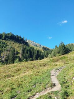
This hike starts at the Hallmoosalm in Hüttschlag. After a short stretch on the service road, you turn off and follow the alpine path to the Karteisalm (not serviced). Across alpine meadows (especially...
Day 1:
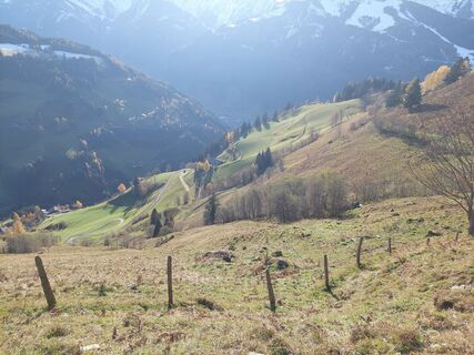
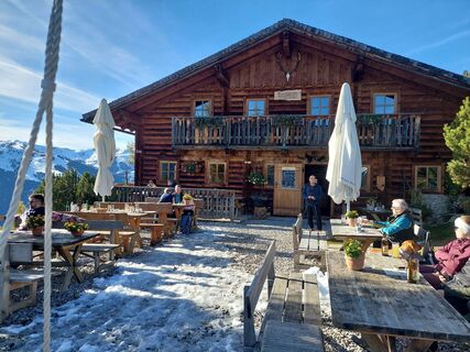
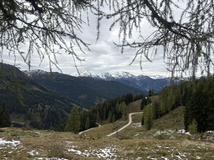
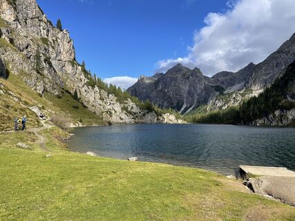
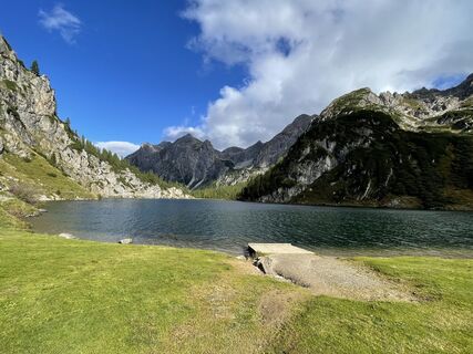
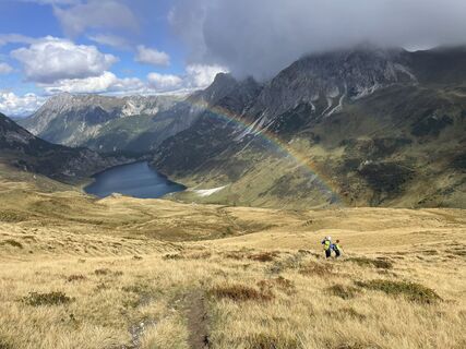
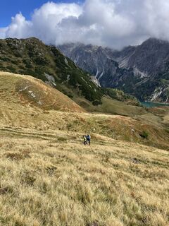
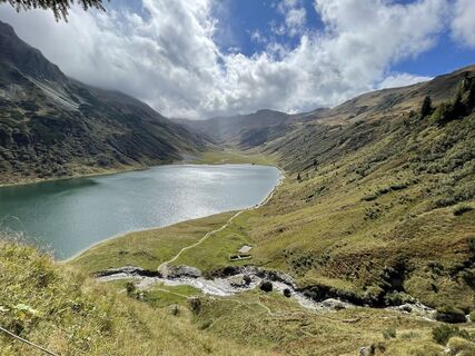
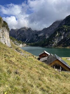
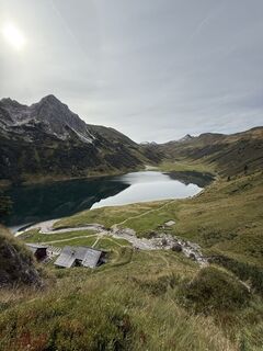
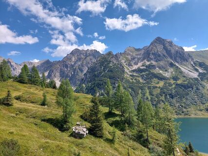
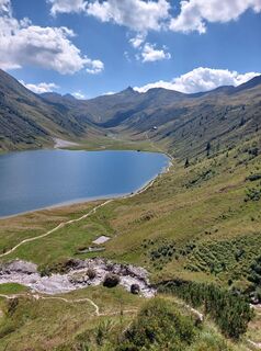
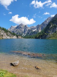
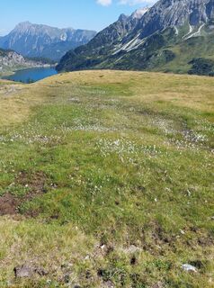
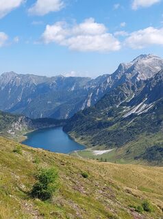
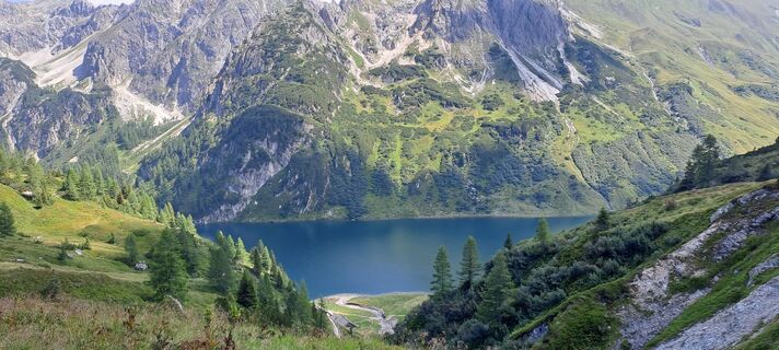
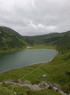
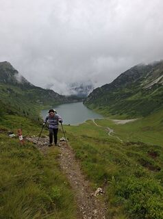
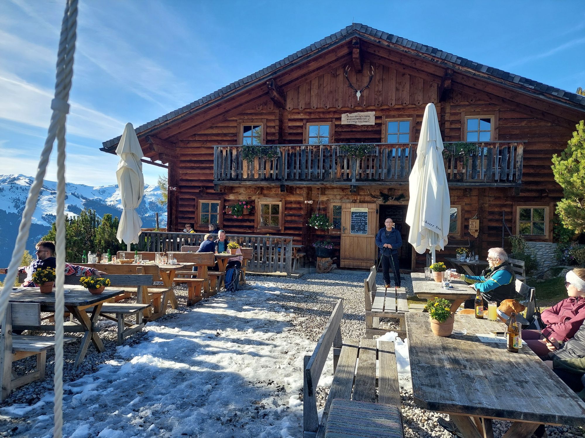
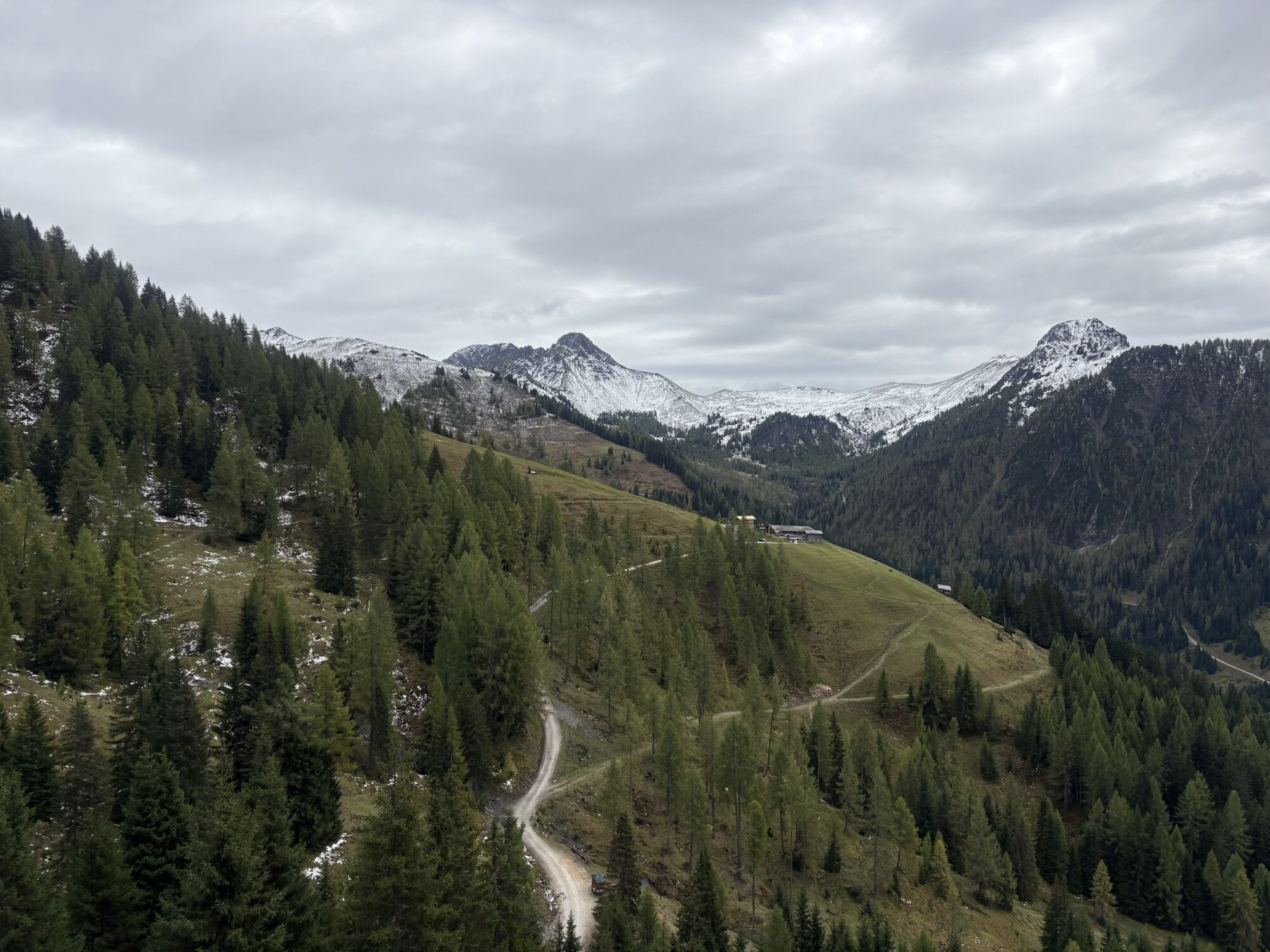
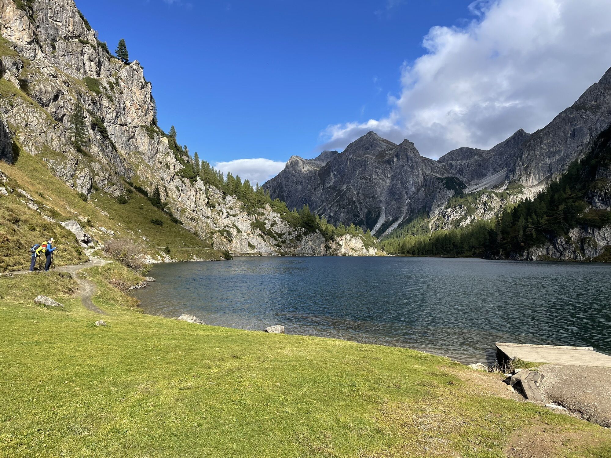
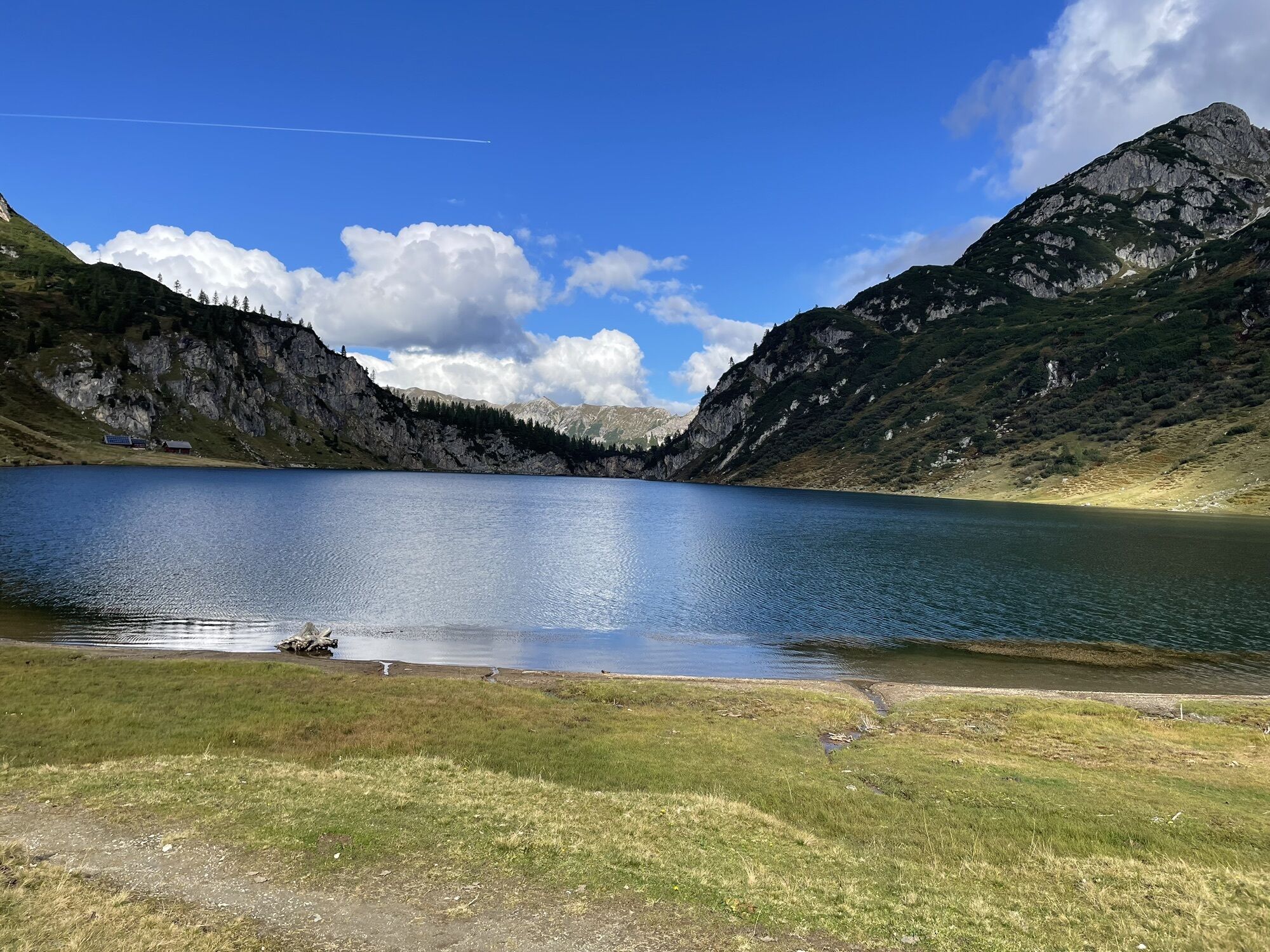
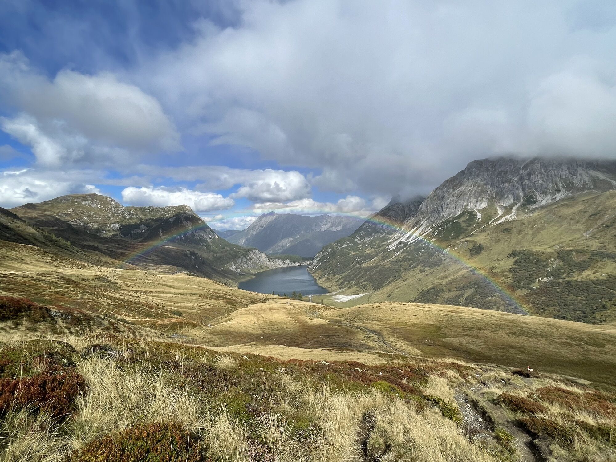
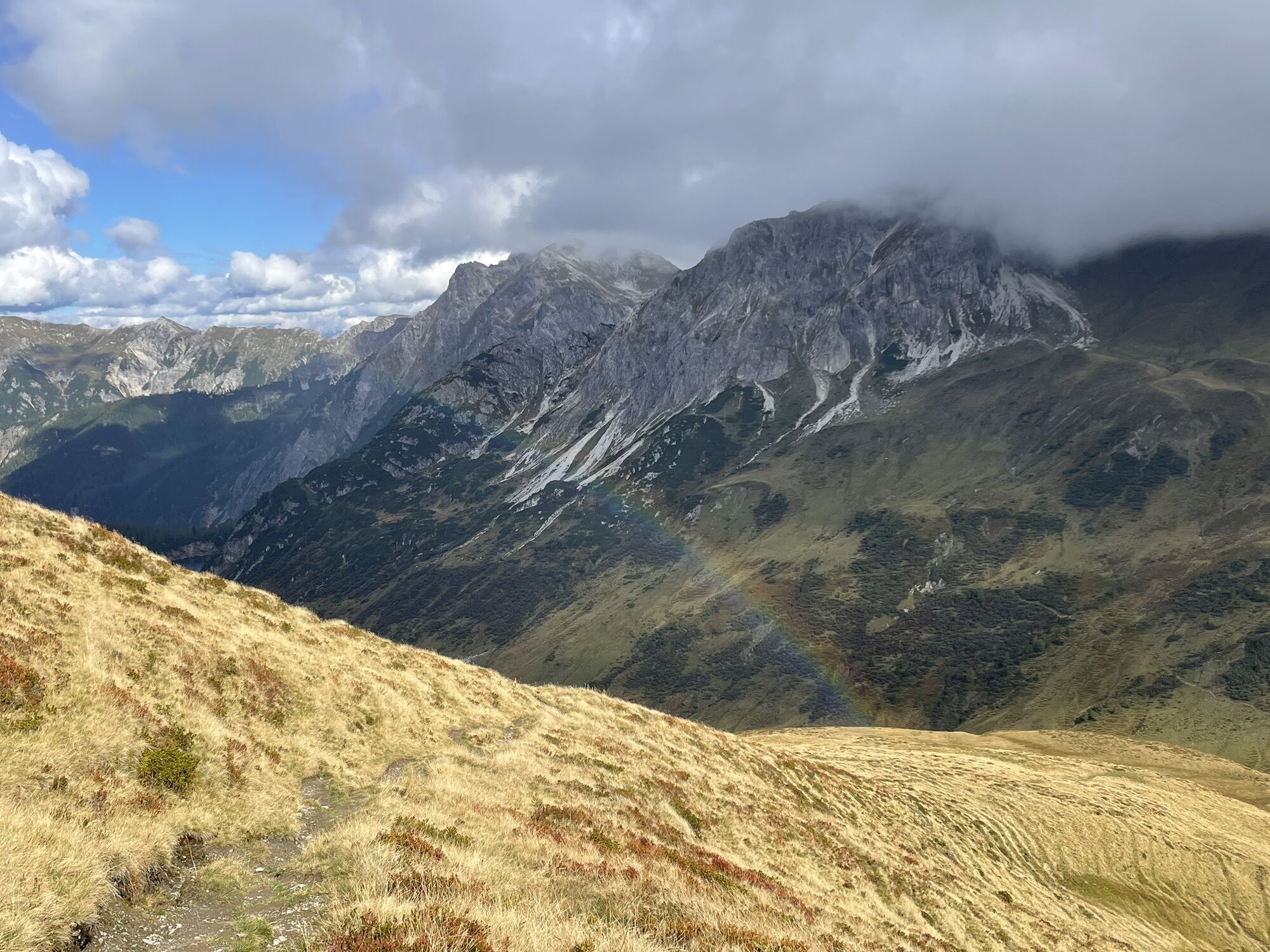
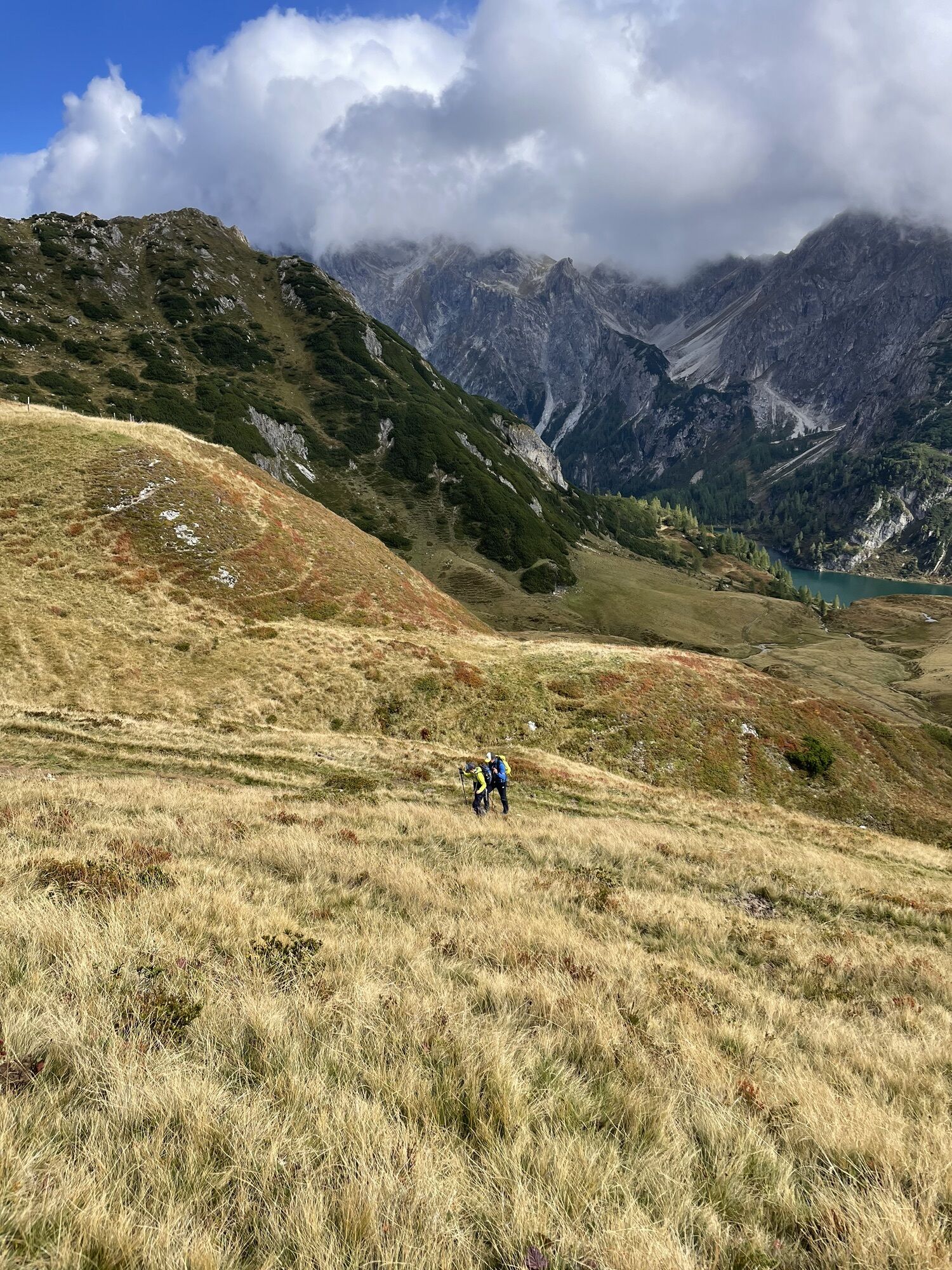
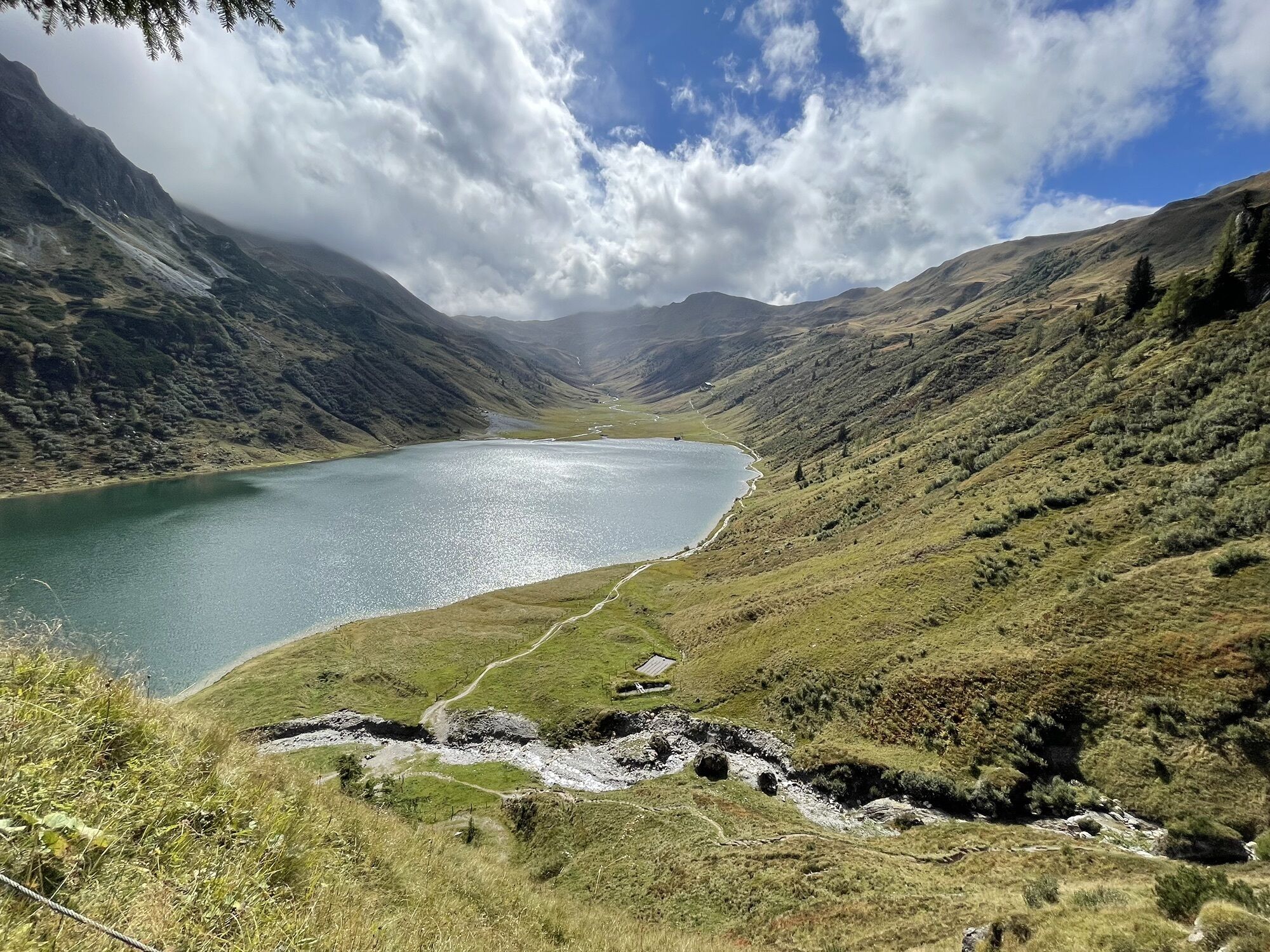
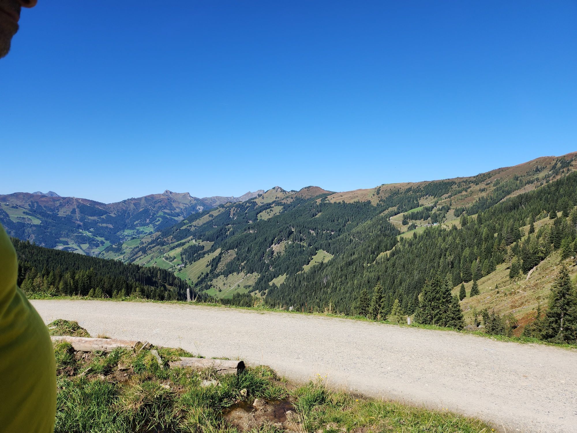
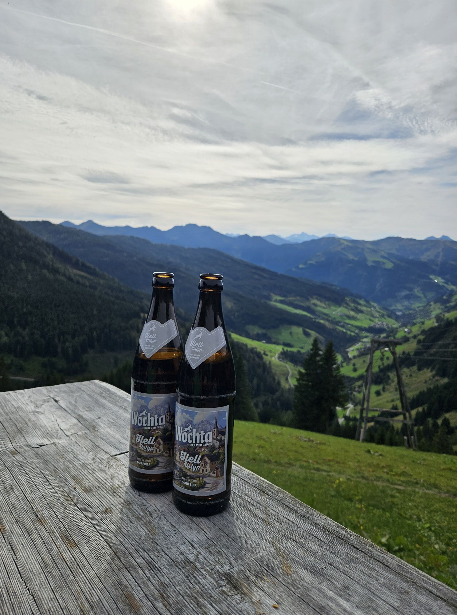
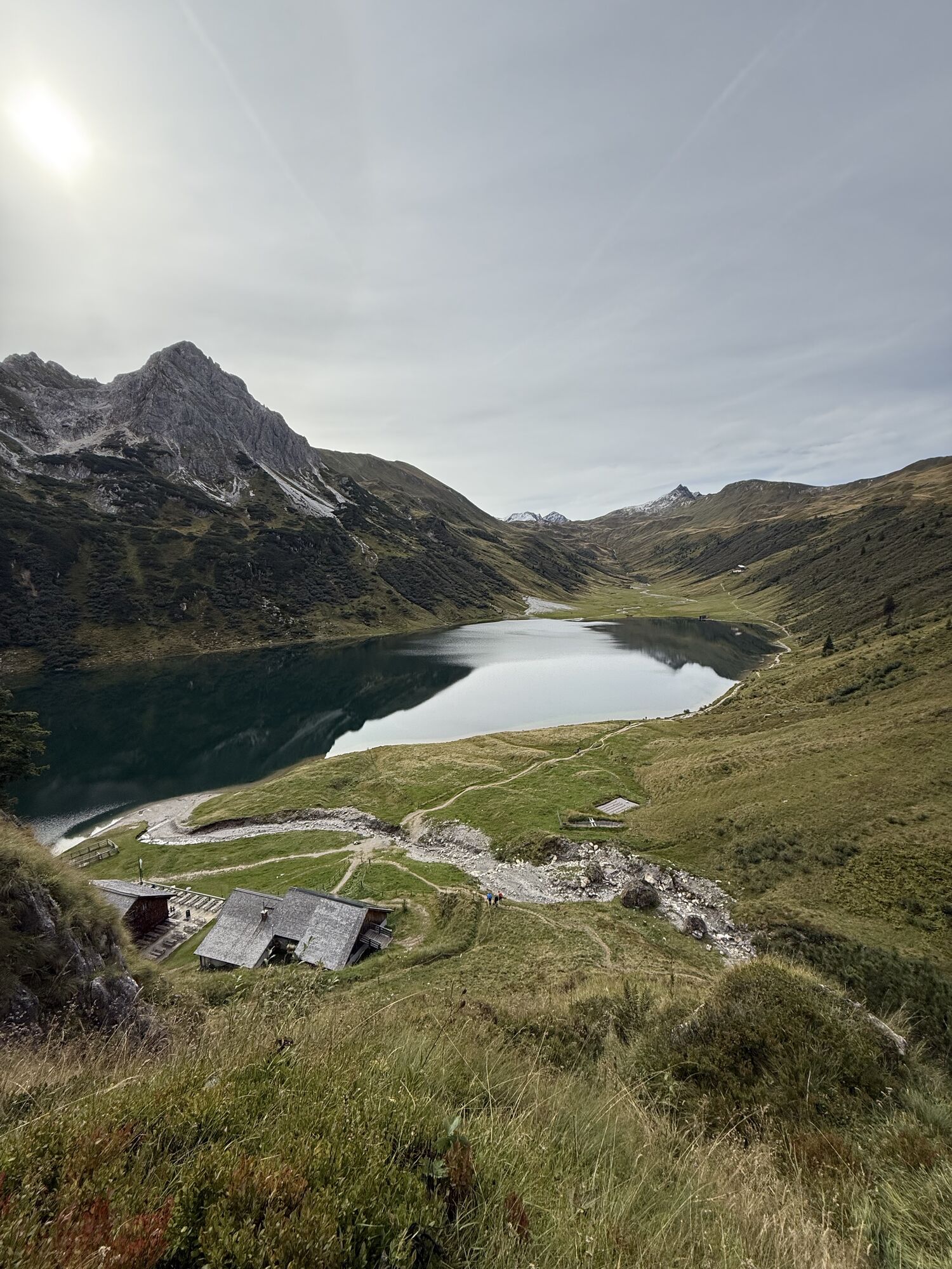
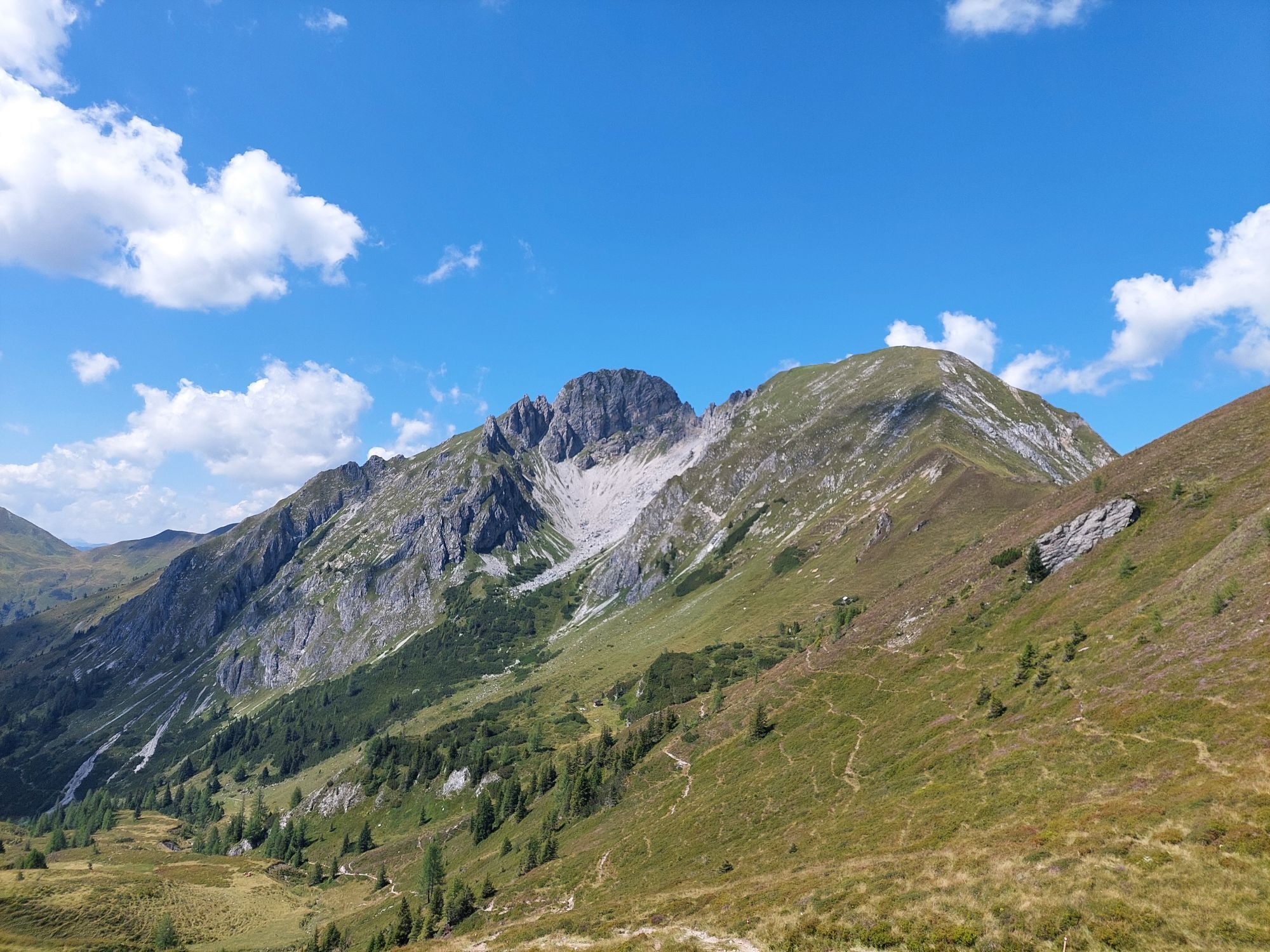
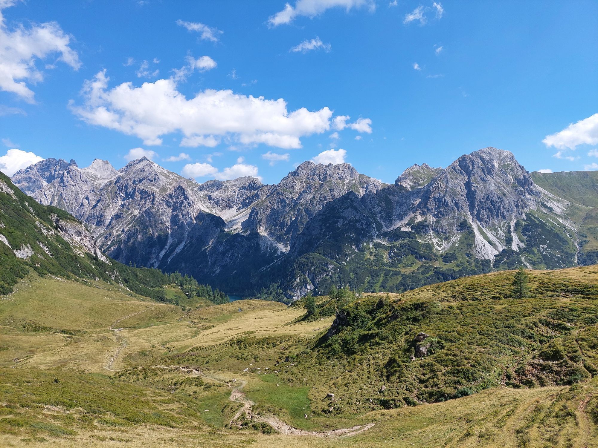
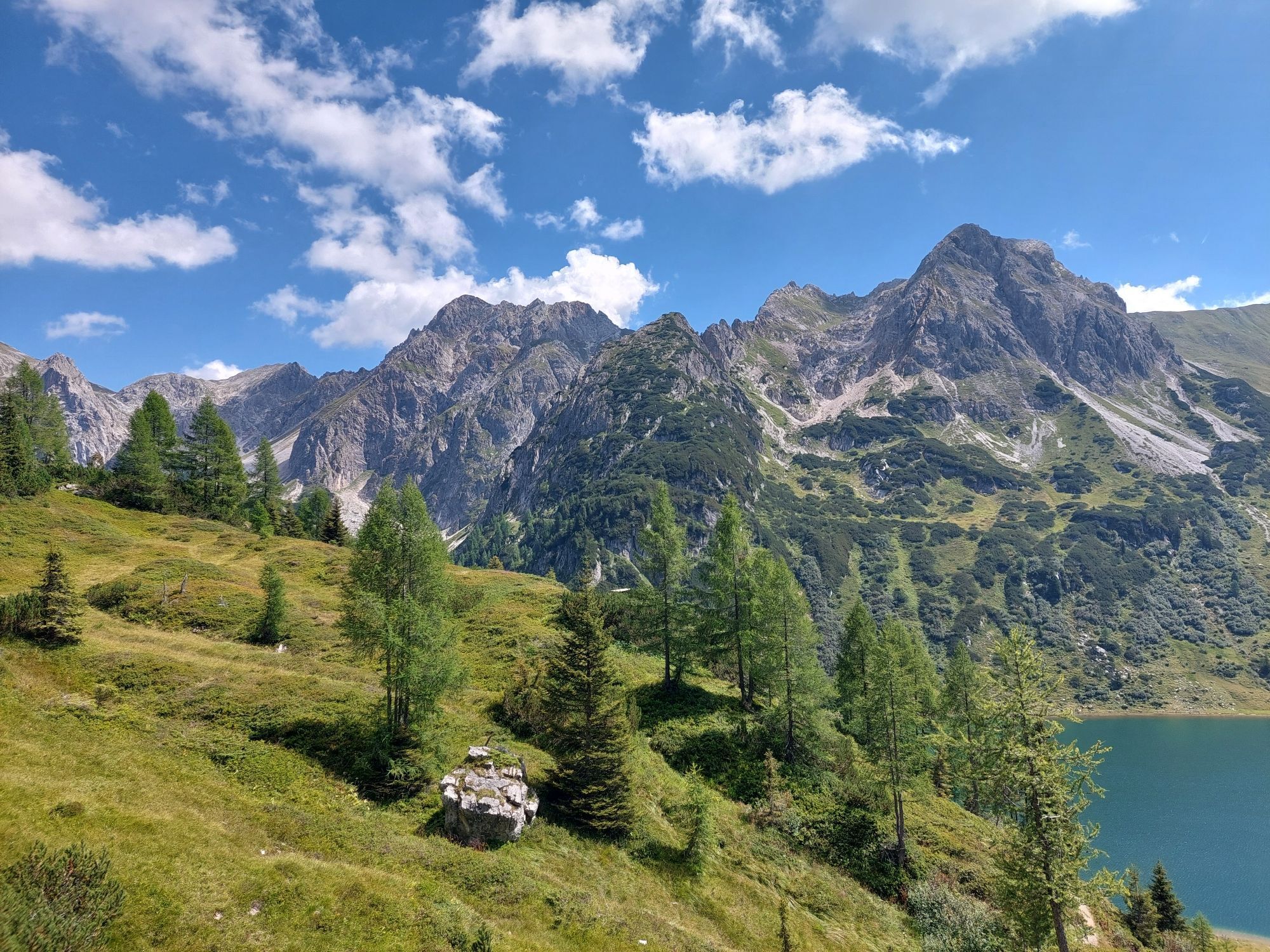
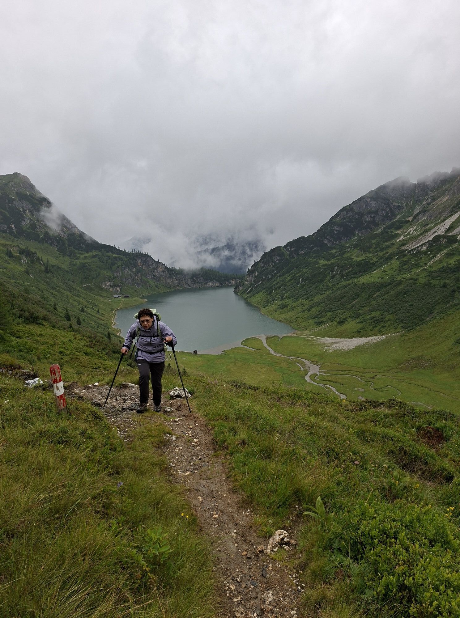
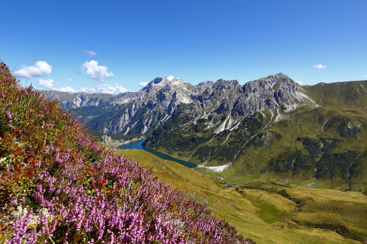
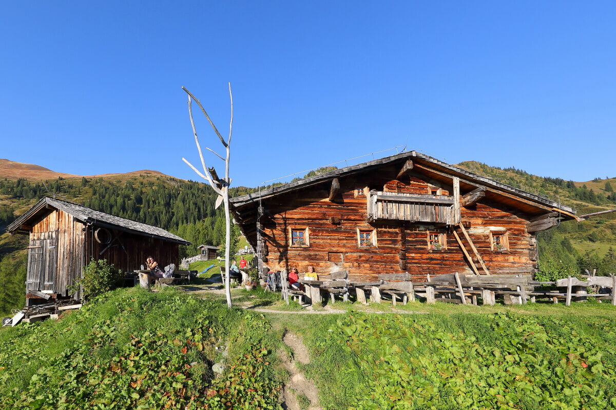
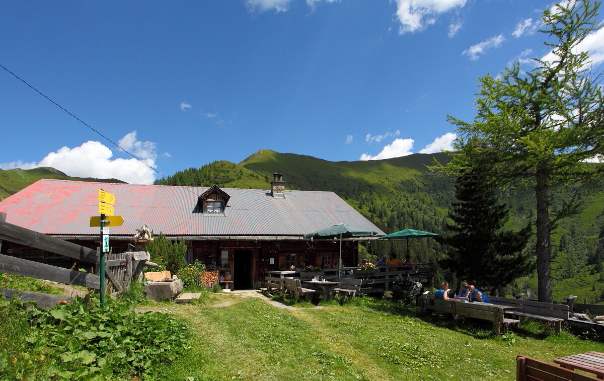
This hike starts at the Hallmoosalm in Hüttschlag. After a short stretch on the service road, you turn off and follow the alpine path to the Karteisalm (not serviced). Across alpine meadows (especially beautiful in early summer when the alpine roses bloom) you walk comfortably to the Karteistörl. From here a magnificent view opens up to the Tappenkarsee, the largest mountain lake in the Alps. According to legend, it is connected to the Schuhflickersee. In the Schuhflickersee a wagon wheel is said to have been found that fell into the Tappenkarsee. Descent to the Tappenkarsee, where you can indulge in regional delicacies at the Tappenkarseehütte and the Tappenkarseealm. Wonderful walk along the Tappenkarsee. Then ascent to the Draugsteintörl. Descent to the Draugsteinalmen. Two alpine huts await you there - the right one is the Steinmannhütte, the left one the Schrambachhütte. Both offer delicacies from their own production (cheese, butter, bread, bacon, sausage, schnapps) and both also offer overnight stays. After a cozy evening at the hut, it's time for bed.
Day 2:
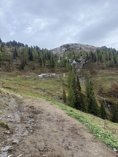
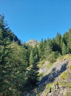
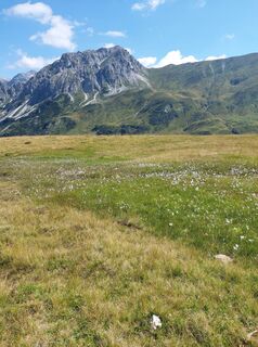
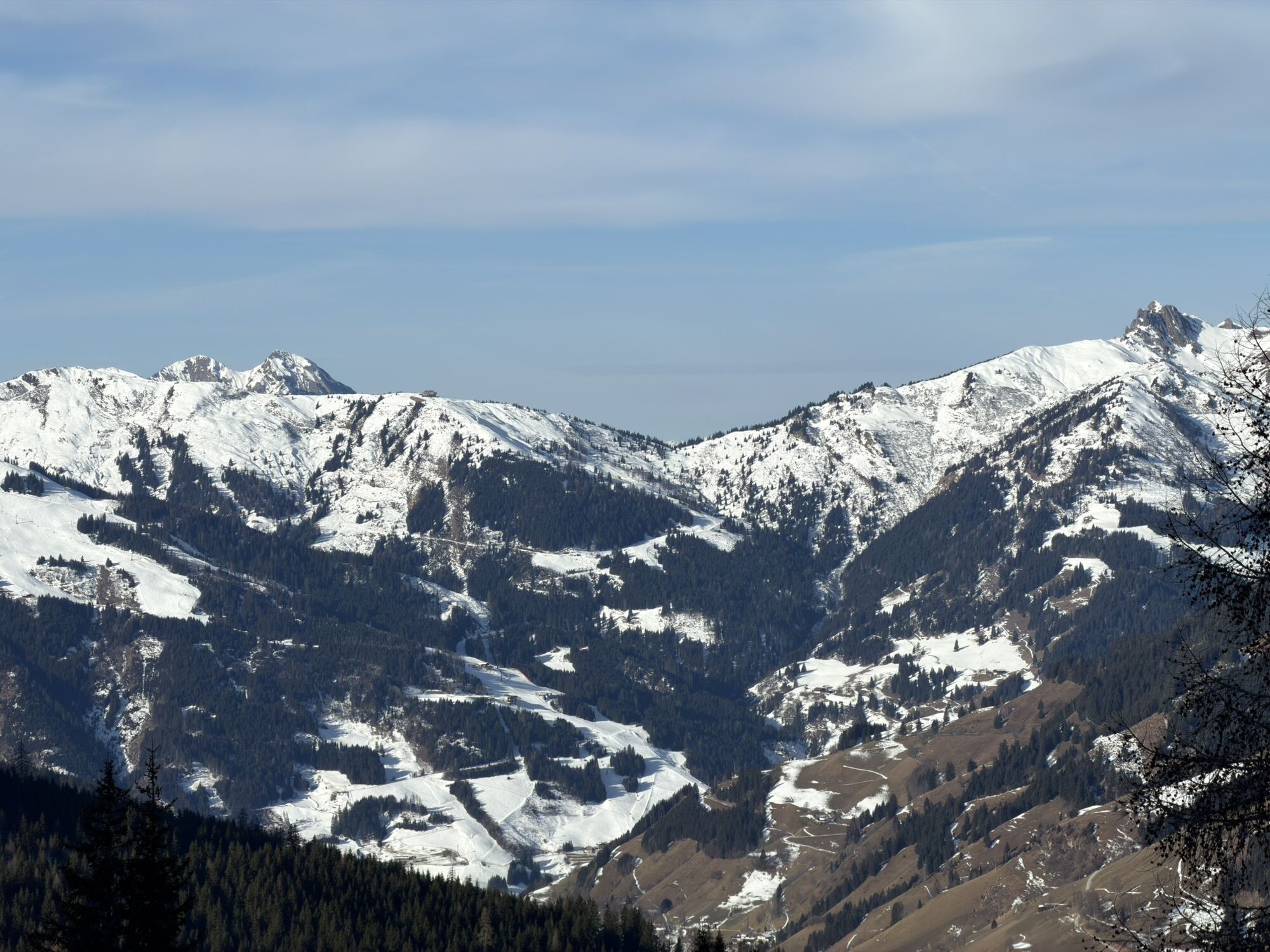
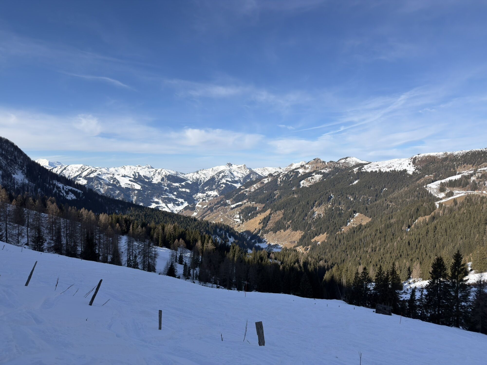
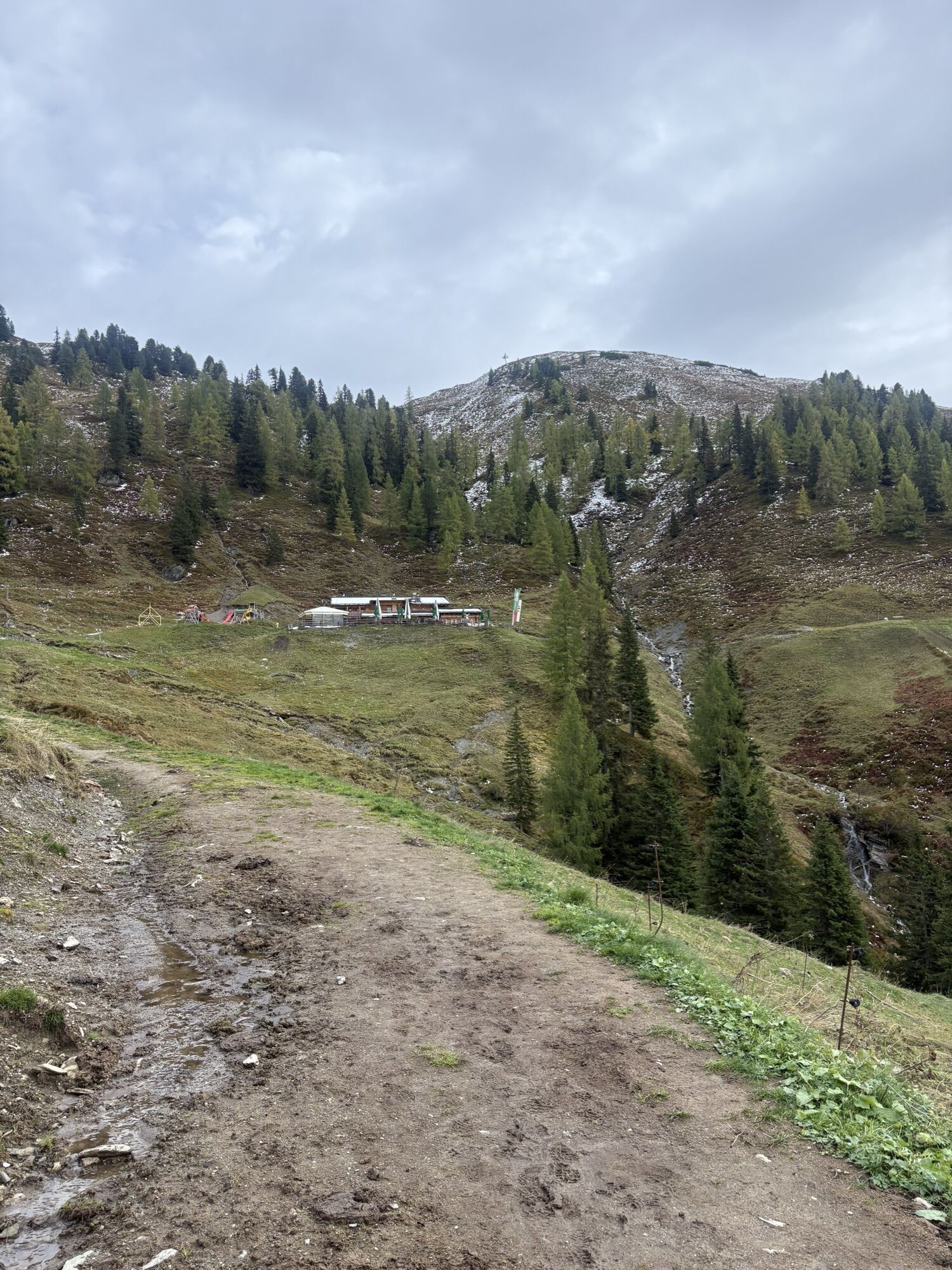
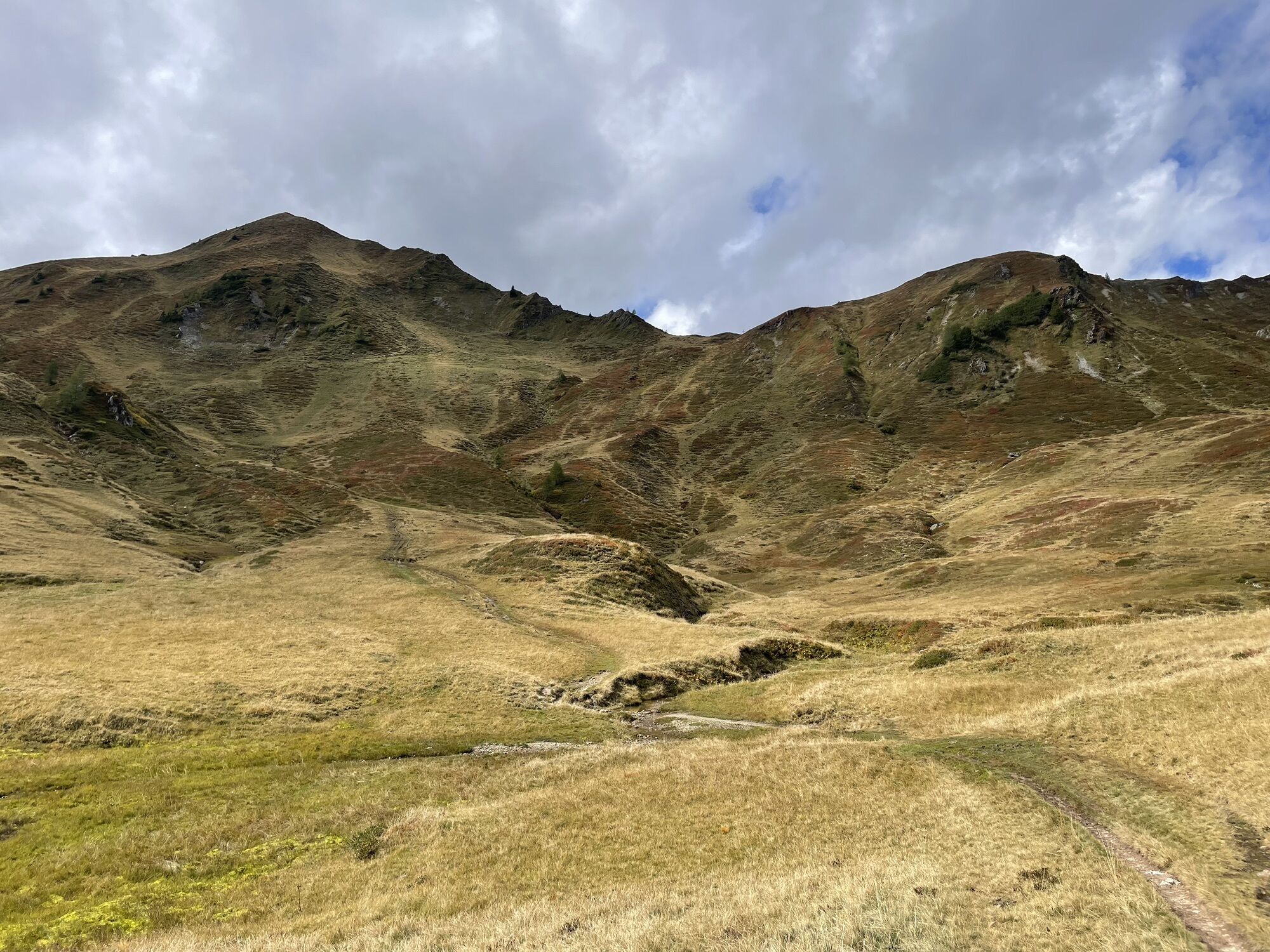
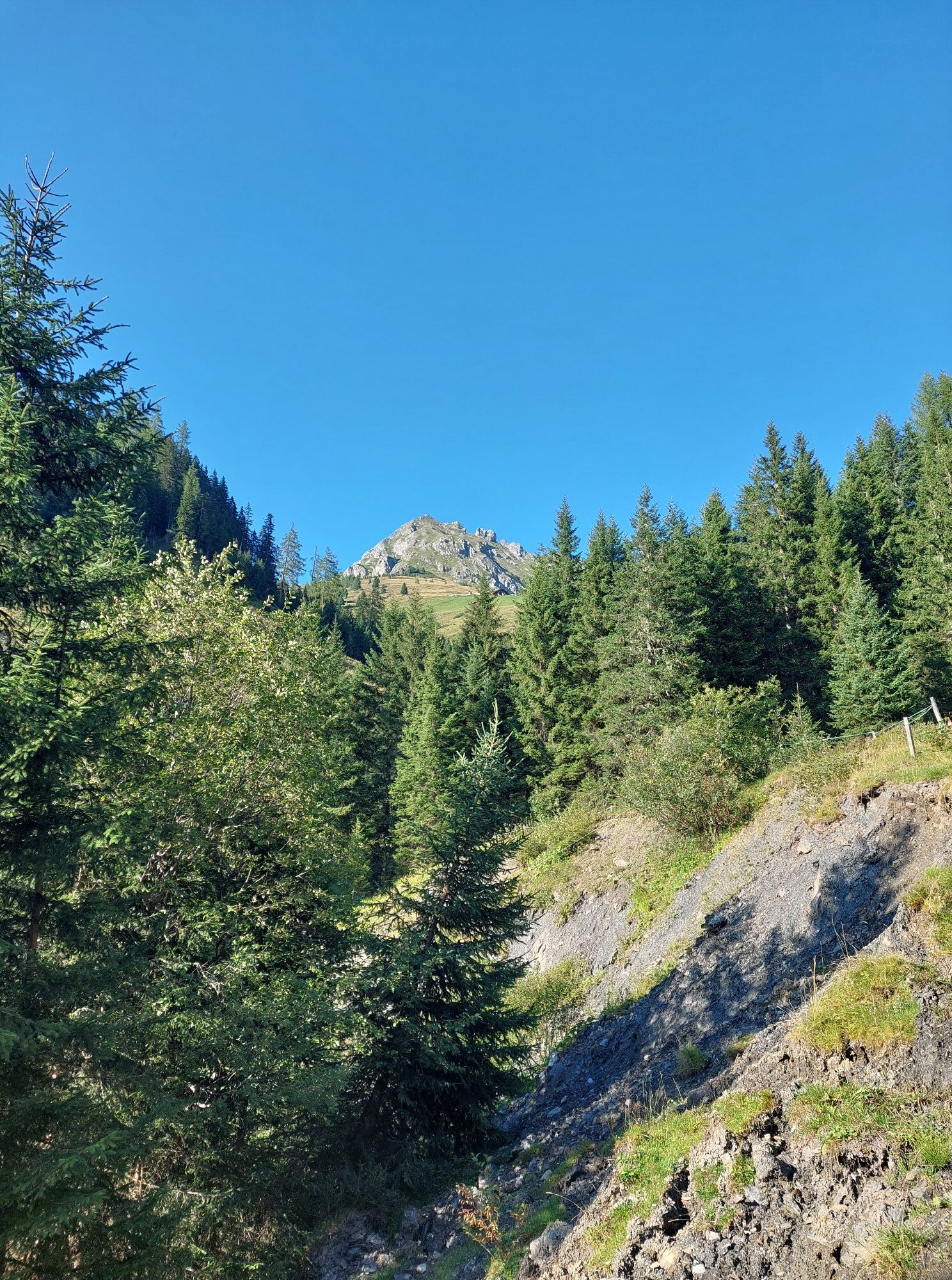
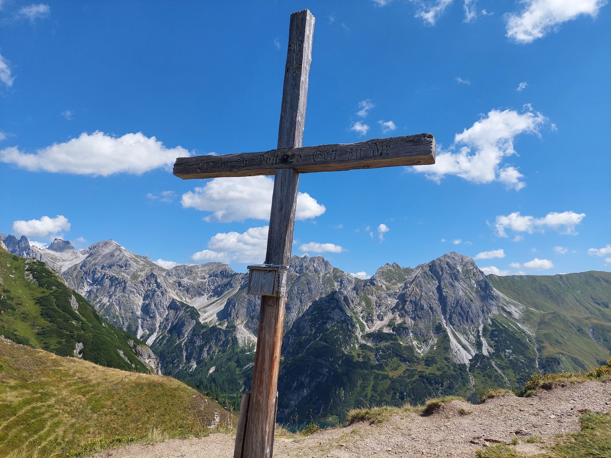
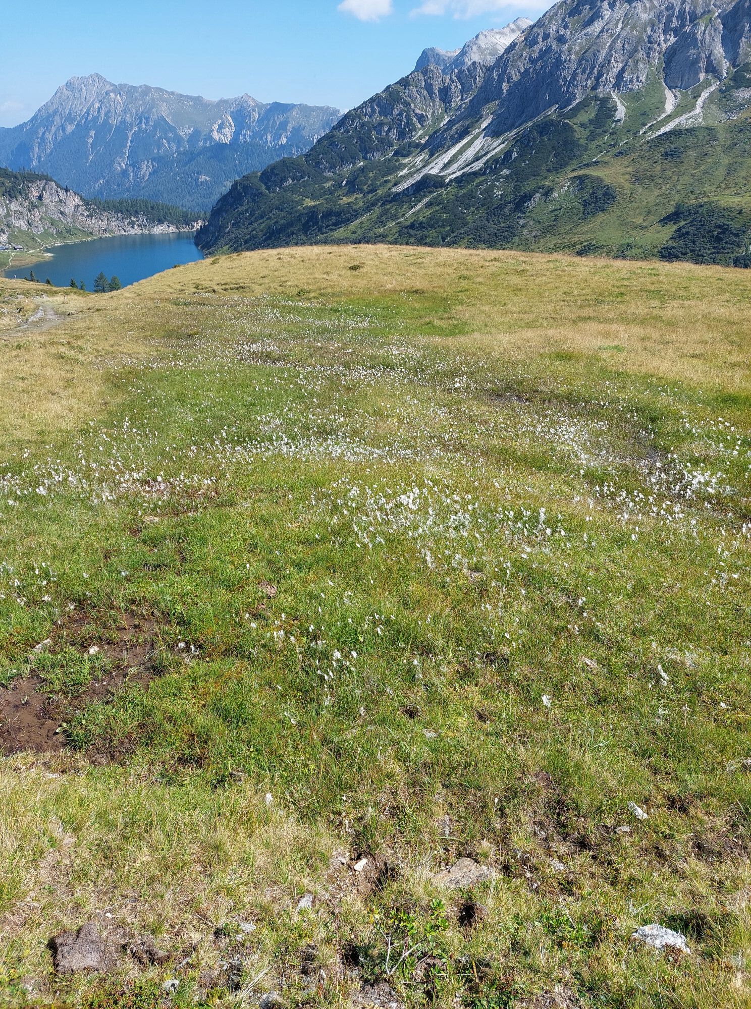
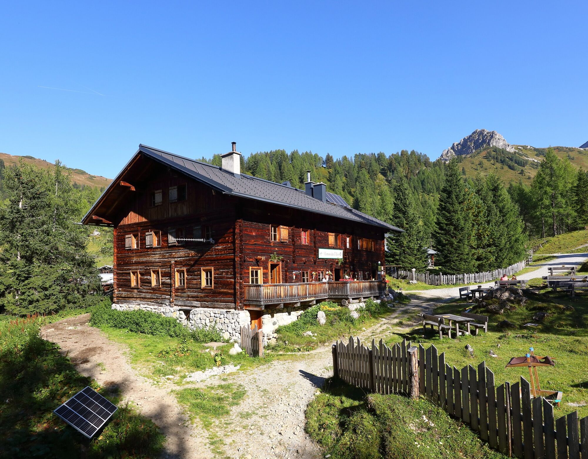
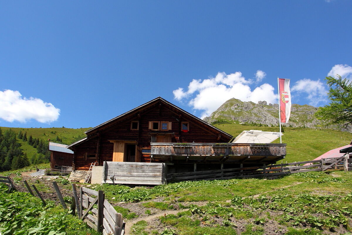
Awakened by cowbells and freshly strengthened by a delicious alpine breakfast, head upwards to the Filzmoossattel. There is a beautifully designed gentian that always accompanies you along the Salzburg Alpine Pasture Trail. About 50 m above the Filzmoossattel is the Filzmooshöhe. If you turn around now, you see the majestically overlooking Draugstein above the Ellmautal. This mountain is one of three limestone mountains in our valley. The descent takes place on a beautiful hiking trail to the Filzmoosalm. Here you pass numerous stone pine trees typical for the rear Ellmautal. A delicious snack awaits you at the Filzmoosalm. Then continue along the Ellmautal alpine path to the Weißalm or Ellmaualm, where you will spend the night.
Day 3:
After a delicious alpine breakfast, continue the next morning. Depending on which hut you stayed at, the path length varies.
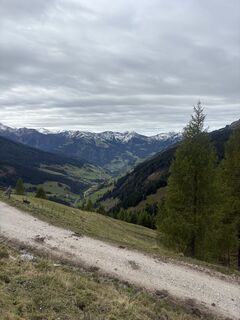
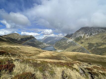
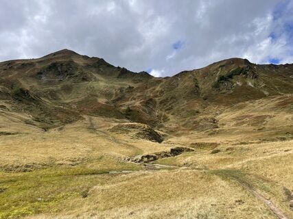
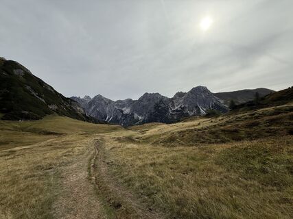
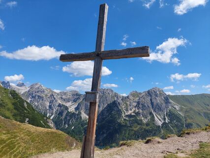
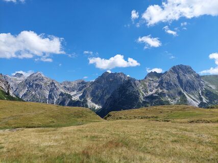
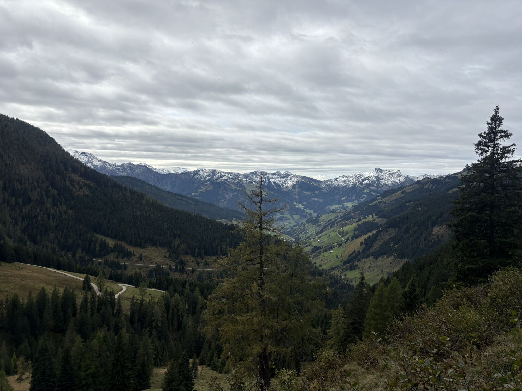
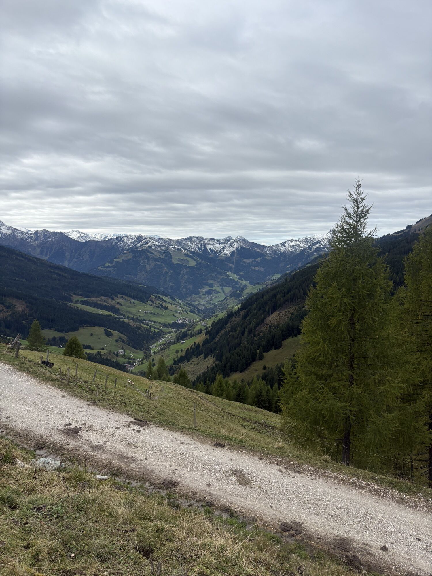
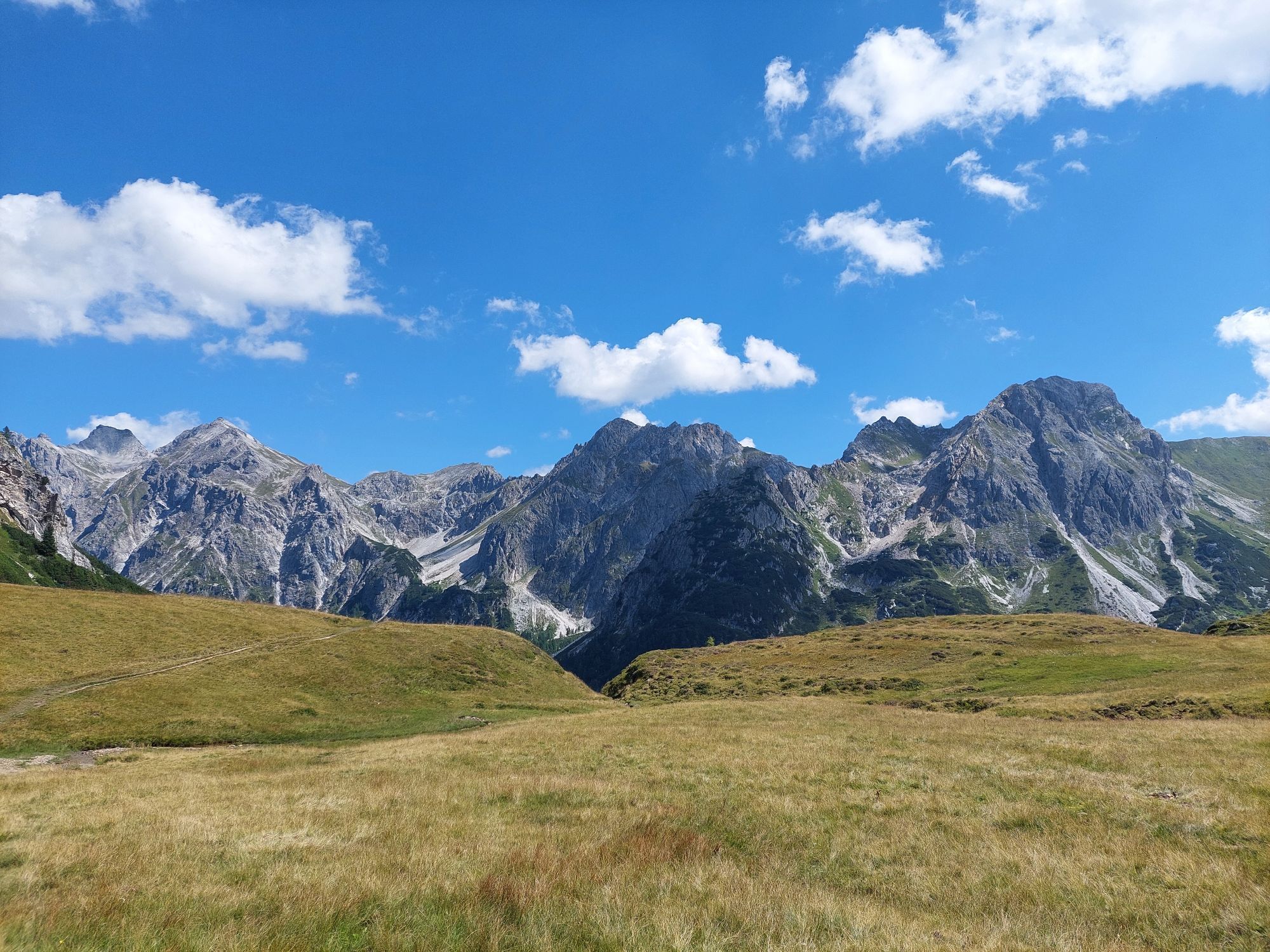
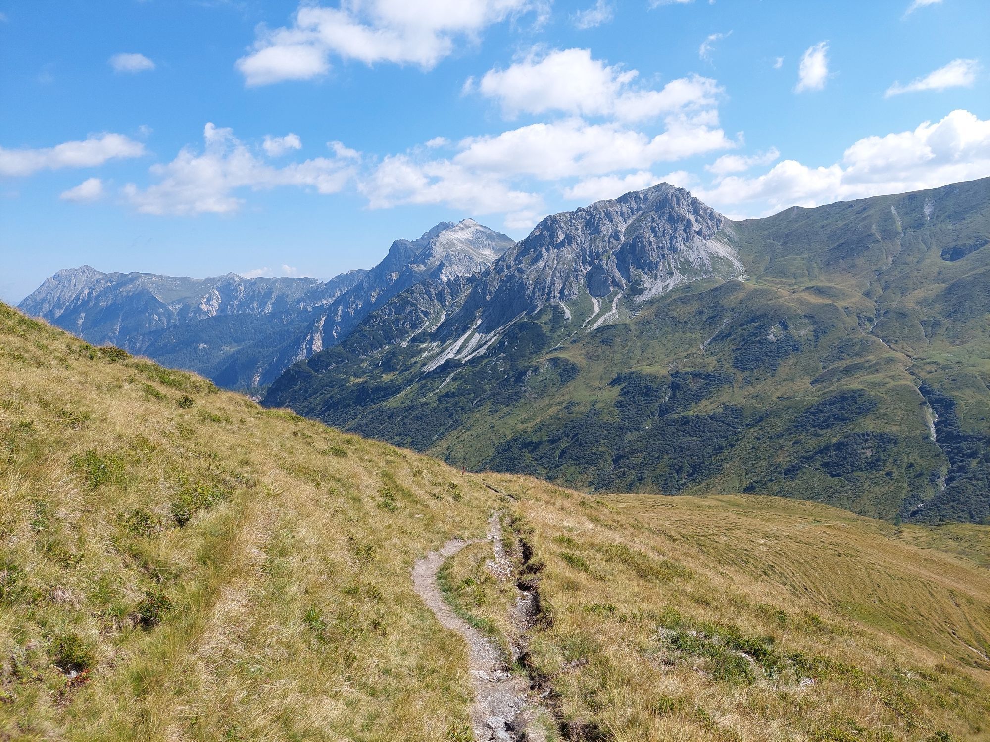
Continue comfortably along the Salzburg Alpine Pasture Trail past the Henerbichlalm (not serviced). As an alternative, you can hike via the Trögseen. These "Lacken" are small mountain lakes especially good for cooling off in midsummer. The hiking time remains the same on both routes. Then you reach the Spatkar. Past the Karalmen (not serviced) you arrive at the Saukaralm. This alpine pasture is the highest in the Großarl valley. The view from here is simply unique. The Hohe Tauern, the Hochkönig, as well as the Tennen and Hagen mountain ranges make this alm one of the most beautiful viewpoints in Großarl. The descent goes via the Röschenbergalm (not serviced) to the Gerstreitalm. Here you can indulge once again in delicacies from your own production. Rested, you finally head over Hertas Rast to the town center in Großarl.
Day 1:
Drive by car or hiking taxi to Hüttschlag in the district of Karteis - continue on the Seilsitzberg service road to the Hallmoosalm, 1,300 m (parking available) - hike first a short section along the service road (No. 53, 721) - after approx. 1 km follow hiking trail 53, 721 to the Karteisalm, 1,661 m (approx. 1 1/4 h, not serviced) - continue on the same path to the Karteistörl, 2,145 m (approx. 1 1/2 h from Karteisalm). Descent on trail No. 721 to the Tappenkarseehütte, 1,820 m (approx. 3/4 h). Hike along the Tappenkarsee to the Tappenkarseealm, 1,768 m (approx. 1/2 h). Ascent on trail No. 12 to the Draugsteintörl, 2,077 m (approx. 1 h). Descent on trail No. 54 to the Draugsteinalmen, 1,778 m (approx. 1 h from Draugsteintörl, the left hut is the Schrambachhütte, the right one is the Steinmannhütte) - overnight at the Draugsteinalmen. Total walking time: 6 hours
Day 2:
Ascent on trail No. 54, then 54A to the Filzmoossattel, 2,062 m (approx. 3/4 h). Descent on trail No. 57, 720 to the Filzmoosalm, 1,710 m (approx. 1 1/4 h). Hike along trail No. 63 to the Loosbühelalm, 1,769 m (approx. 1 h), continue on the same path to the Weißalm, 1,723 m (approx. 1/2 h) and to the Ellmaualm, 1,794 m (approx. 1/2 h) - overnight at the Weiß- or Ellmaualm. Alternative: From Filzmoossattel on trail No. 64 and descent to the respective alms. Total walking time: approx. 4 hours
Day 3:
Hike along trail No. 63, then 64 to the Saukaralm, 1,820 m (approx. 2 h from Ellmaualm). Descent on trail No. 65, then 65A to the Gerstreitalm, 1,575 m (approx. 1 h). Descent on trail No. 65A, then 65 to the Vorderstadluck farm (approx. 1 h) and to the town center via Hertas Rast (No. 17) into the Großarl town center (approx. 1 h). Total walking time: approx. 5 hours
Áno
Hiking boots with profiled sole, some fruit, drinks (refillable bottles), wind and rain protection, toiletries, warm clothing and a change of clothes, flashlight, mini first aid kit, hiking map, sunscreen, chocolate or muesli bars, …
Drive by car or hiking taxi to the Hallmoosalm in Hüttschlag. You can also take Postbus Line No. 540 to the "Karteis" stop and walk from there (approx. 1 h to the Hallmoosalm).
Hallmoosalm parking lot - there are parking spaces directly at the Hallmoosalm and more further up.
There is a culinary treat at the Tappenkarseehütte: You absolutely must try the blueberry pancake scramble.
Webové kamery z prehliadky
-
Kreuzkogel
-
Fulseck
-
Hotel Lammwirt im Großarltal/Ellmautal
-
Dorfgastein - Spiegelsee
-
Talschluss des Grossarltals - Steinmannbauer
-
Bergstation 6er Sesselbahn Harbach
-
Ellmautal - Palfenhof
-
Kühhagerbahn Bergstation
-
Großarl - Ort
-
Dorfgastein - Spiegelsee
-
Dorfgastein - Spiegelsee
-
Dorfgastein - Spiegelsee
-
Dorfgastein - Spiegelsee
-
Mooslehen Berg
-
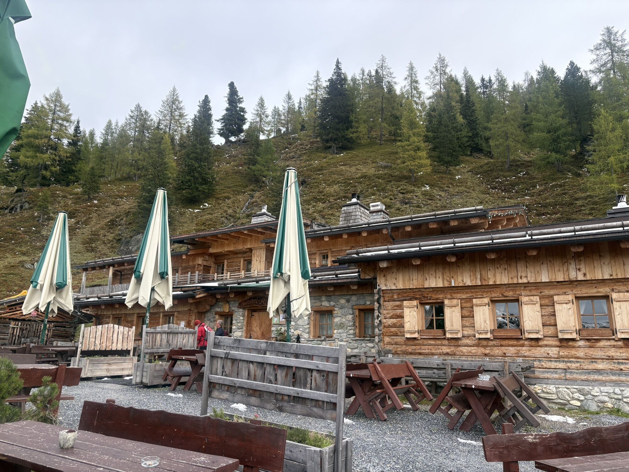
Großarl - Loosbühelalm
-
Großarl - Kieserlbahn
-
Grossarl - Hotel Gasthof Schützenhof
-
Großarl - Hotel Kristall Übungslift
-
Bergstation Kieserl
-
Fulseck
-
Fulseck
-
Fulseck
-
Fulseck
-
Fulseck
-
Fulseck
-
Fulseck
-
Tappenkarseehütte
-
Hüttschlag - Grossarltal
-
Großarl
Obľúbené výlety v okolí
-
4,9
Großarl: Aualm - Liechtensteinkopf - Aukopf - Schuhflicker - Schuhflickersee
strednáTuristika 5,84 km -
5,0
Großarl: Alpine pasture circuit in Ellmautal
strednáTuristika 9,69 km -
4,1
Tappenkarsee Kleinarl
strednáTuristika 9,11 km -
4,9
Höhenweg vom Grünen Baum bis Bad Hofgastein
svetloTuristika 7,92 km -
4,8
Großarl: Mooslehenalm – Niggeltalalm – Viehhausalm
strednáTuristika 5,44 km -
4,8
Hüttenkogel - Graukogel von der Bergstation
strednáHorská turistika 4,68 km -
4,5
Mountain route from the Kötschachtal to the natural jewel Reedsee
strednáTuristika 12,5 km -
4,6
Bahnhof Bad Hofgastein nach Bahnhof Bad Gastein
strednáTuristika 13,0 km -
4,5
Großarl: Saukaralm - Saukarkopf - Gerstreitalm
strednáTuristika 9,11 km -
4,5
Wasserfall Bad Hofgastein
svetloTuristika 3,89 km
Turistika a stopovanie


Nenechajte si ujsť ponuky a inšpiráciu na ďalšiu dovolenku
Vaša e-mailová adresa bol pridaný do poštového zoznamu.