


Hüttschlag: Murtörl - Nebelkarscharte - Klingspitz
Fotografie našich používateľov
-

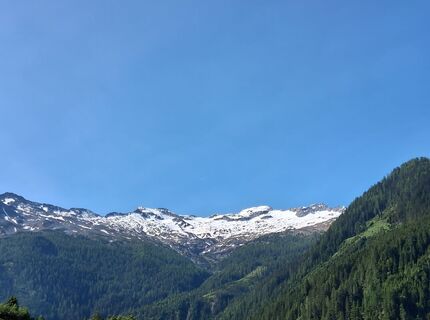
 © Johannes PetschkVytvorené dňa 19.06.2025
 -
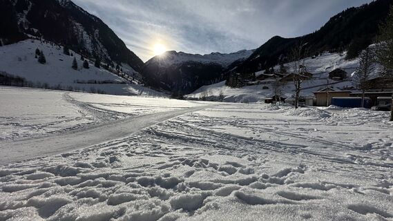
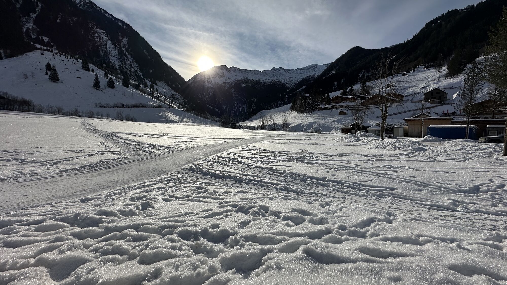
 © Martin OberascherVytvorené dňa 28.03.2026
 -
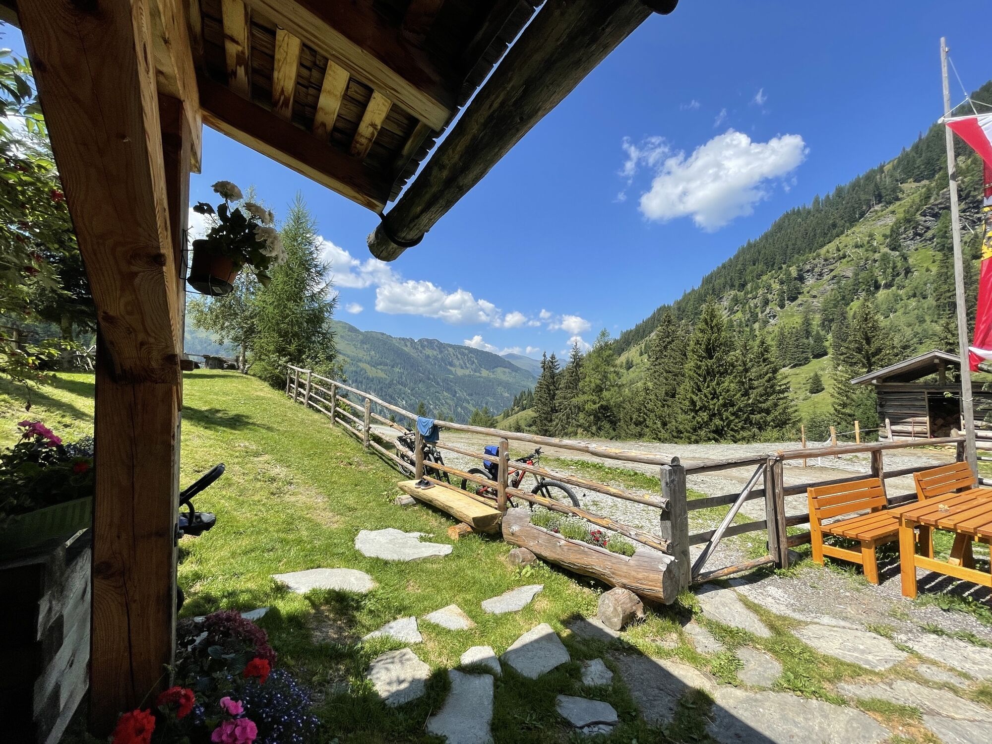
 © Sven KrieblinVytvorené dňa 13.12.2025
 -
 © Michael GschwandtnerVytvorené dňa 28.10.2025
 -
 © Andrea MahringerVytvorené dňa 28.10.2025
 -
 © Andrea MahringerVytvorené dňa 28.10.2025
 -

 © Hannah AnyanVytvorené dňa 27.09.2025
 -
 © Rico WeijsVytvorené dňa 22.09.2025
 -

 © PhilVytvorené dňa 13.09.2025
 -
 © PhilVytvorené dňa 13.09.2025
 -

 © Helmut Wagner 2Vytvorené dňa 19.08.2025
 -
 © Helmut Wagner 2Vytvorené dňa 19.08.2025
 -
 © Helmut Wagner 2Vytvorené dňa 19.08.2025
 -
 © Helmut Wagner 2Vytvorené dňa 19.08.2025
 -
 © Helmut Wagner 2Vytvorené dňa 19.08.2025
 -
 © Helmut Wagner 2Vytvorené dňa 19.08.2025
 -

 © Josef NockerVytvorené dňa 09.08.2025
 -
 © Josef NockerVytvorené dňa 09.08.2025
 -
 © Enkidu55Vytvorené dňa 06.06.2025
 -
 © NupperVytvorené dňa 02.01.2025
 -
 © GeraldVytvorené dňa 25.07.2022
 -
 © GeraldVytvorené dňa 25.07.2022
 -
 © GeraldVytvorené dňa 25.07.2022


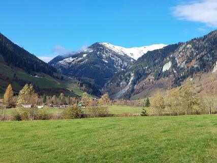
This hike starts at the parking lot at the Hüttschlag valley end. At the Gasthof Talwirt you can find local delicacies and buy self-smoked bacon.
Past the Stockham farm towards the Kreealmen. Right at...
This hike starts at the parking lot at the Hüttschlag valley end. At the Gasthof Talwirt you can find local delicacies and buy self-smoked bacon.
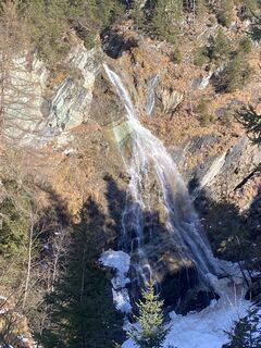
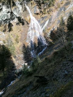
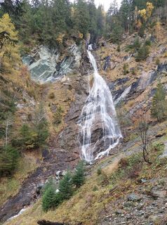
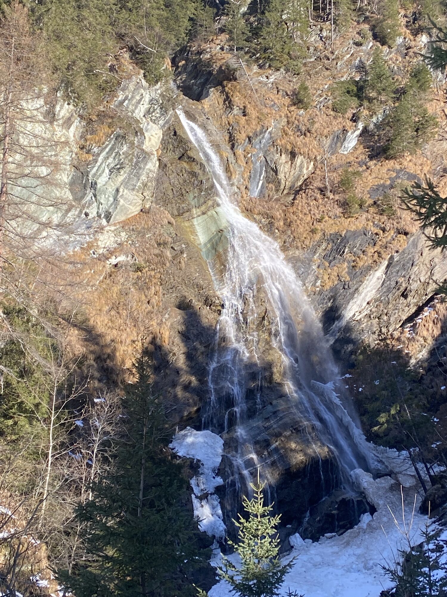
Past the Stockham farm towards the Kreealmen. Right at the beginning of the path to the Kreealmen a short detour to the Kreealm waterfall is definitely worthwhile, which plunges about 100 m down a rock face into the valley.
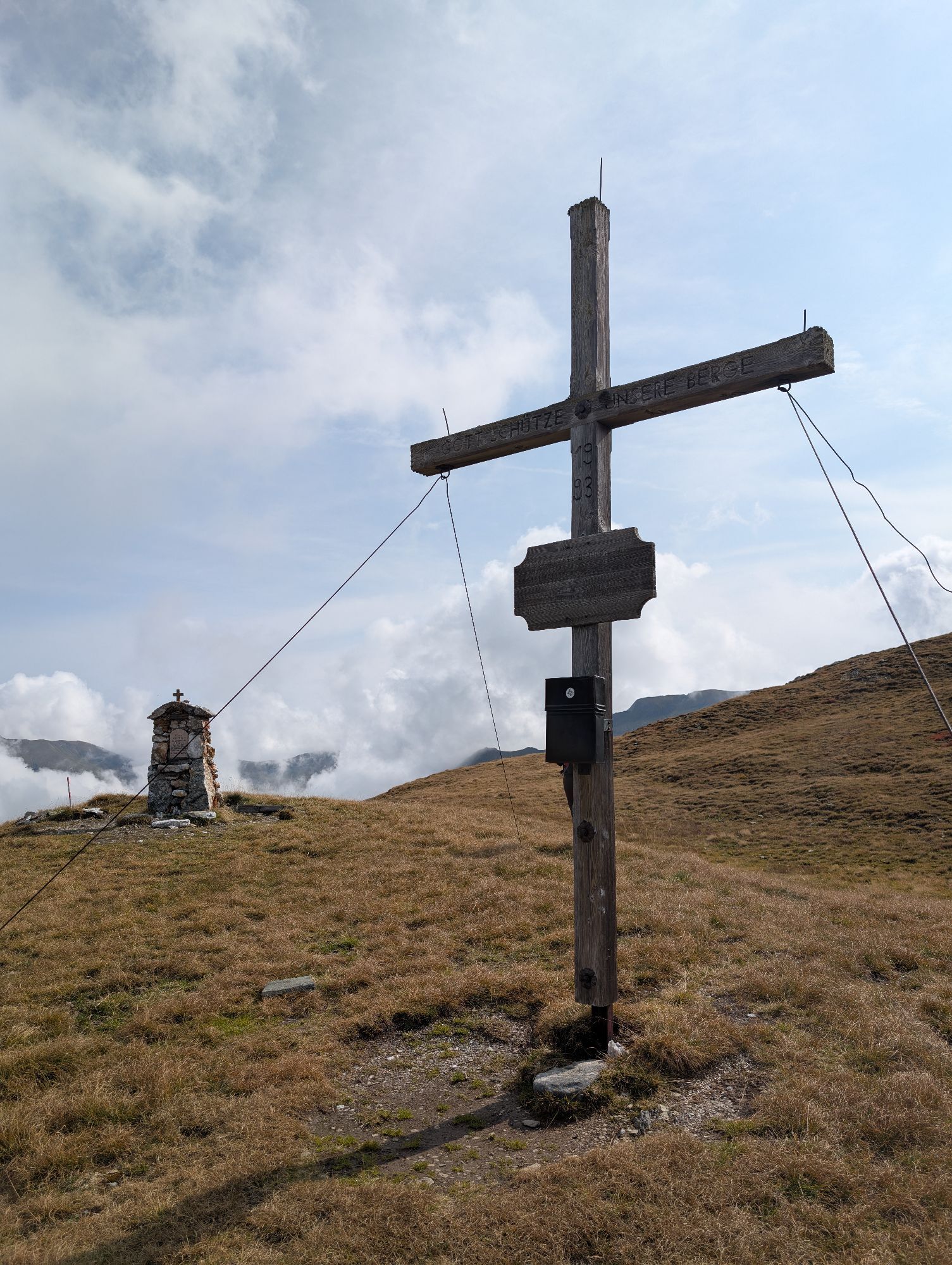
During the ascent, you can choose whether you prefer the forest road or shortcuts through the forest. Shortly before the alpine huts, you will come to a small chapel. This is a place to pause and encourages every hiker to say thank you briefly.
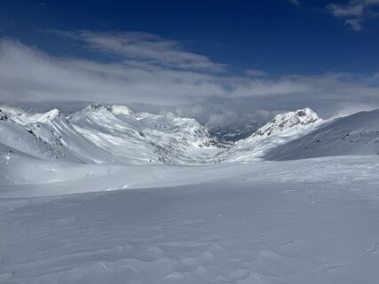
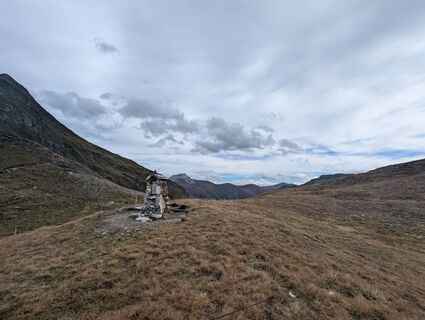
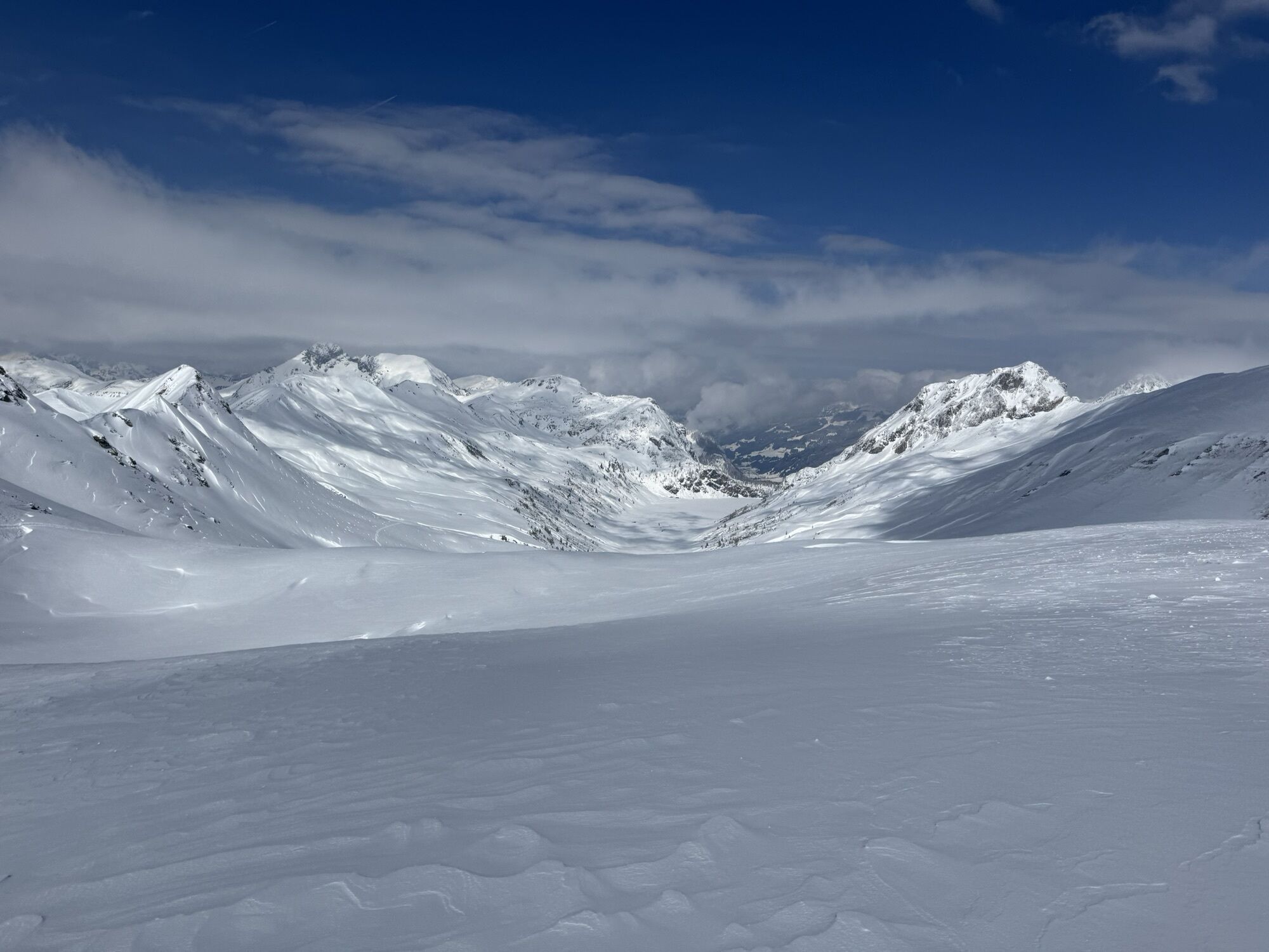
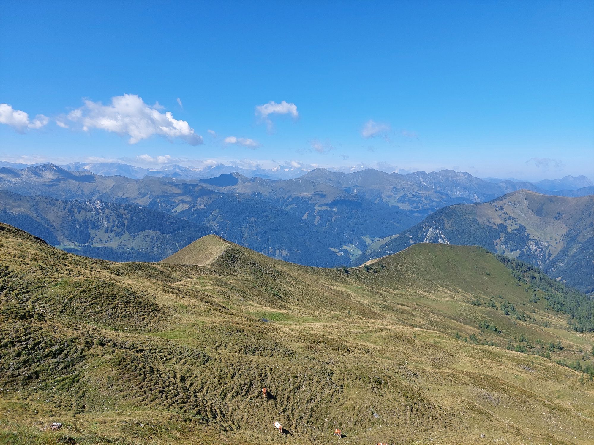
Two alpine huts await you on the Kreealm, the Kreealm-Kreehütte is the lower one, the upper one is the Kreealm-Bichlhütte. At both huts, you will be spoiled with delicacies from their own production (cheese, butter, bread, bacon, or sausage). After a short rest, continue uphill through a huge cirque to the Murtörl. Just below this pass, the Mur river springs. It is often very windy here; it may happen that you hike in short sleeves everywhere and that icy cold wind blows at Murtörl.
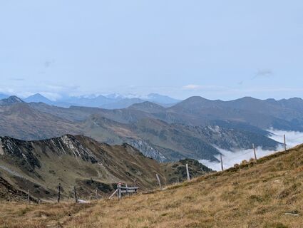
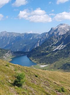
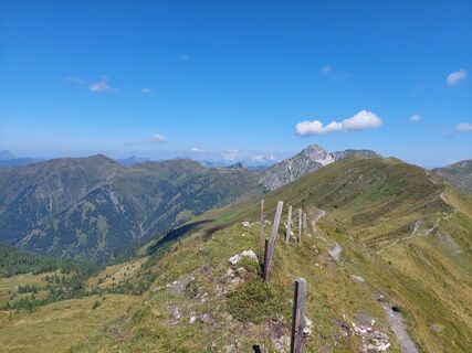
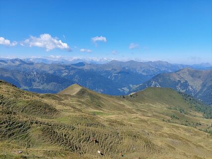
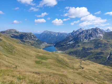
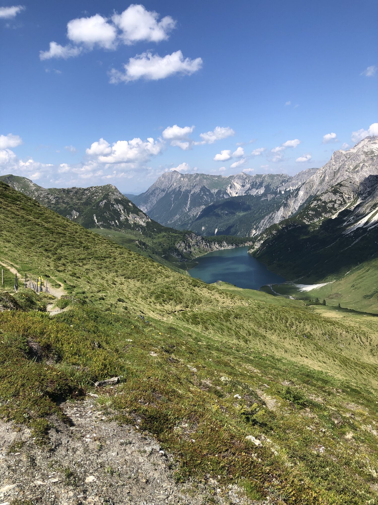
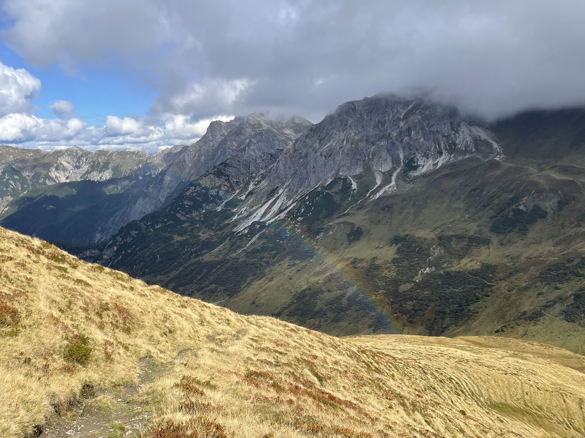
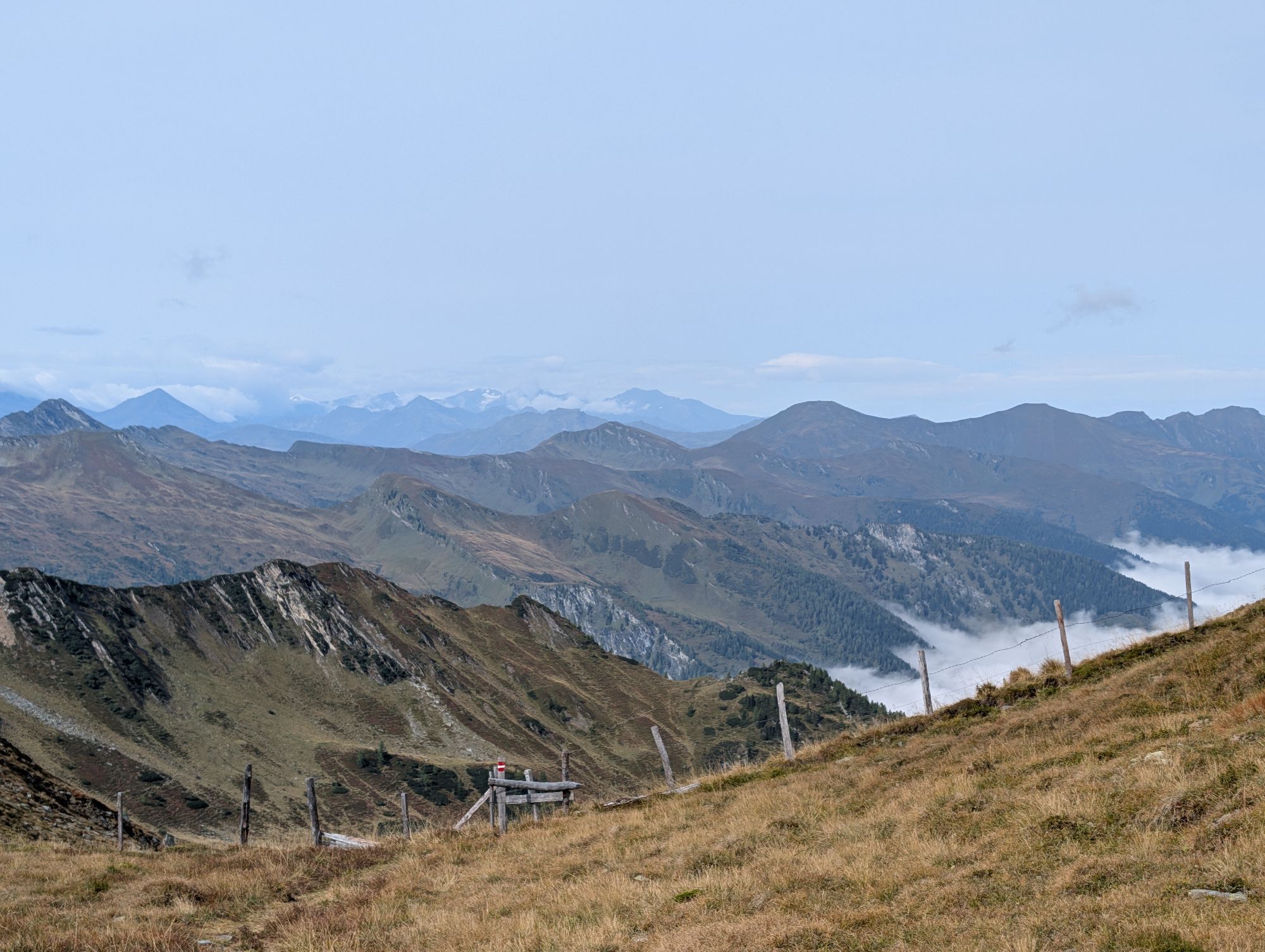
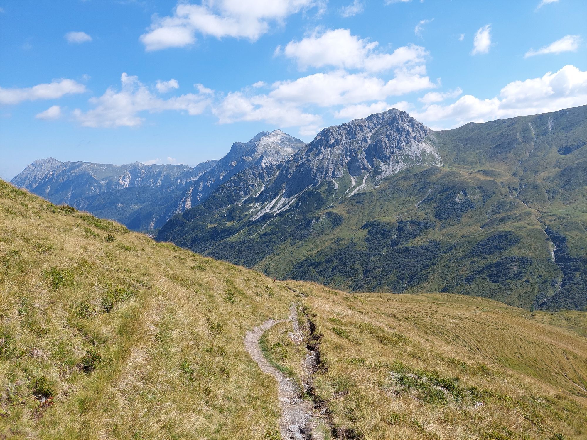
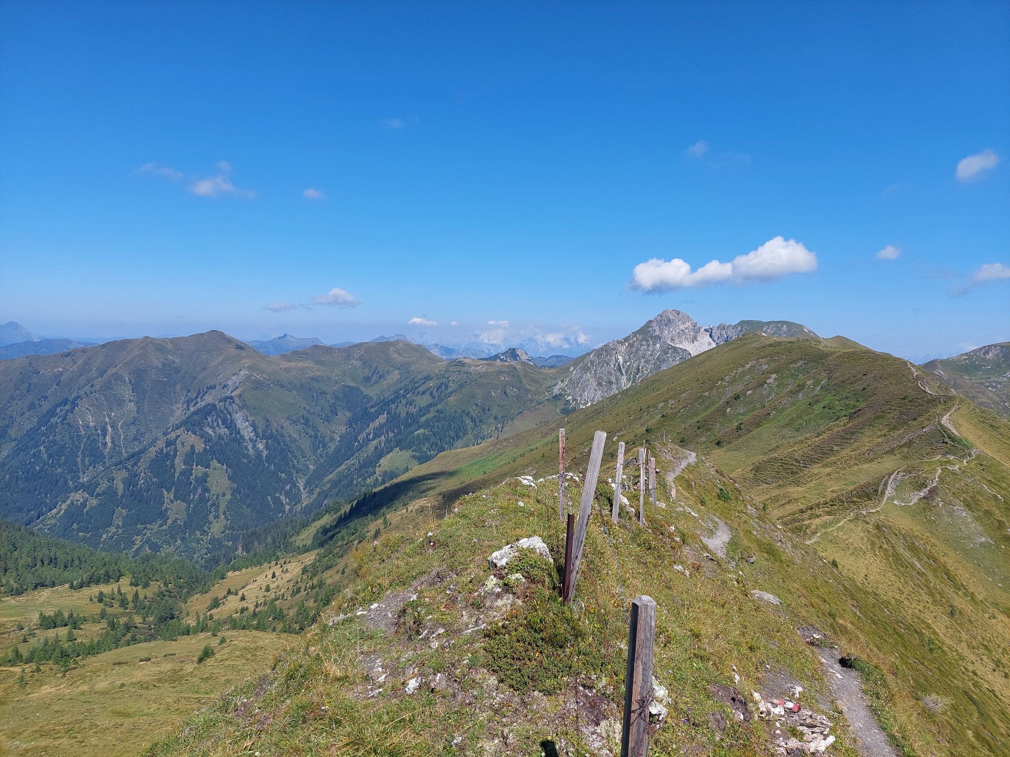
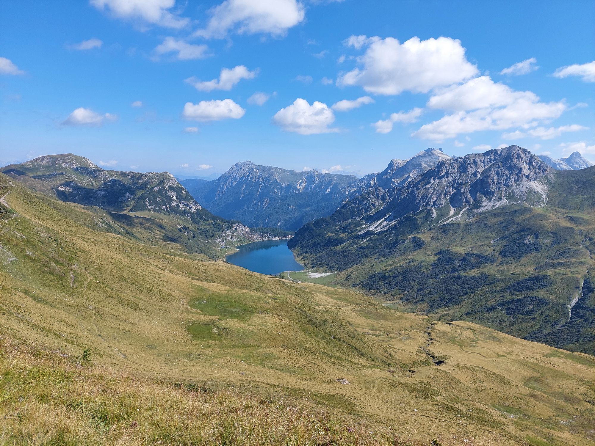
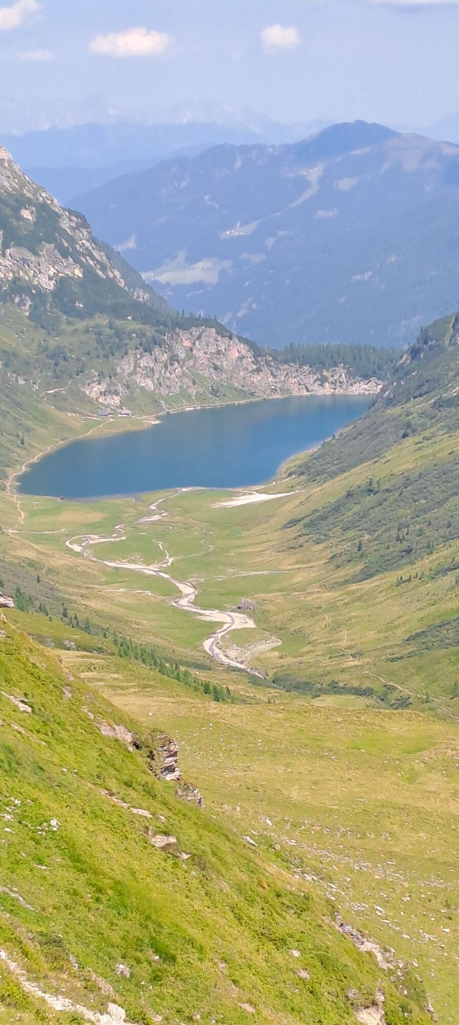
Follow the high path further to the Nebelkarscharte and the Wasserfallscharte. When ascending the summit of Klingspitz, surefootedness and a head for heights are required – in return, you will be rewarded with a magnificent panoramic view of the surrounding mountains. Along the high path, it goes back into the Tappenkar with the Tappenkarsee, the largest mountain lake in the Eastern Alps. According to legend, the Tappenkarsee is connected to the Schuhflickersee because a wagon wheel that fell into the Tappenkarsee was found in the Schuhflickersee...
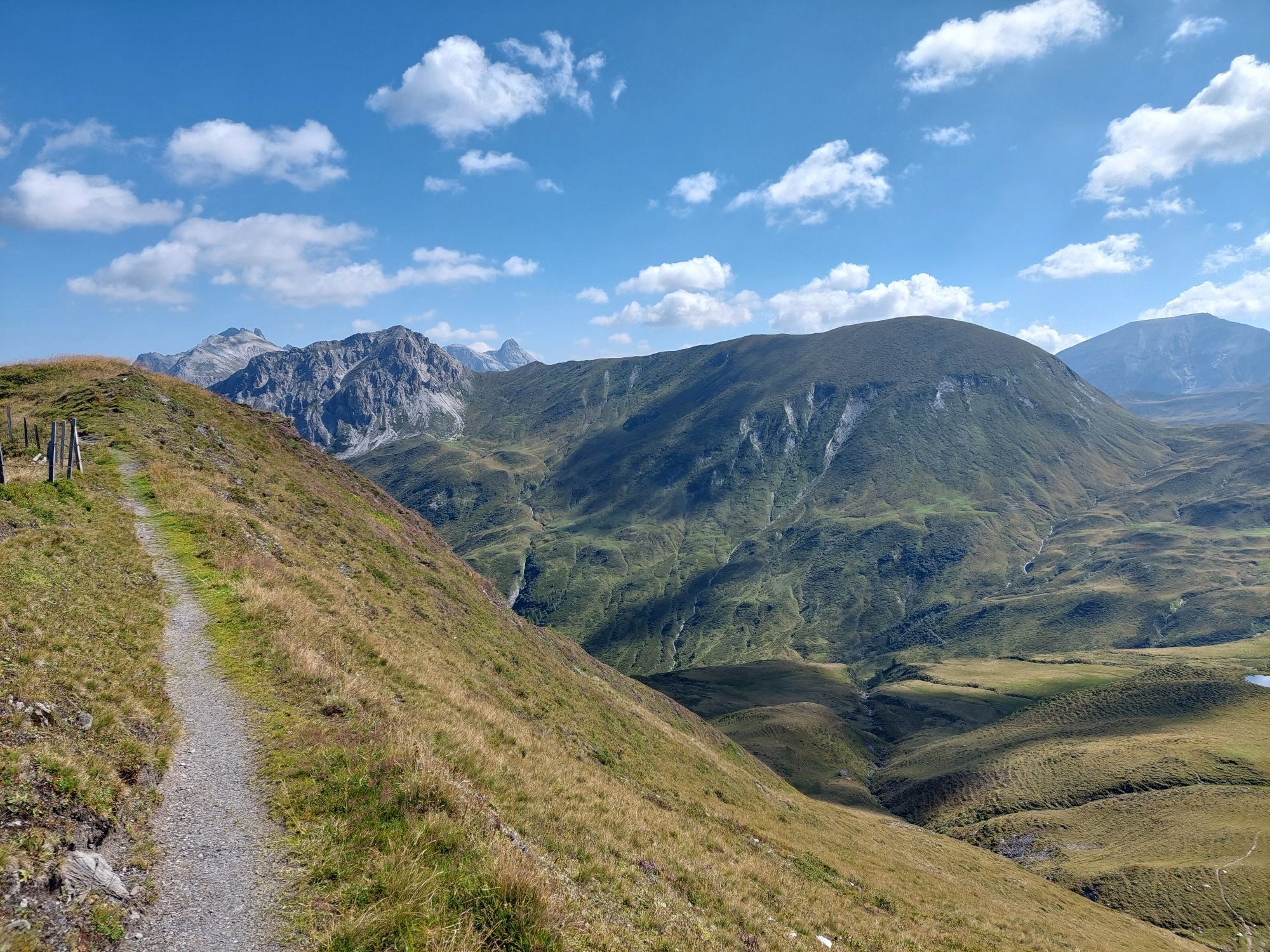
Via alpine meadows, it goes to the Karteistörl and from there downhill to the Karteisalm, which unfortunately is not operated. Especially in early summer, the area around Karteistörl offers a magnificent floral display. Via a beautiful hiking path, you reach the Hallmoosalm (not operated). From here there is the option to take the hiking taxi downhill. Alternatively, you can walk the hiking path to Hüttschlag/Karteis and take the postbus back to the car at the valley end. For the athletically inclined, there is also the option to walk from the Karteis district into the valley end on foot.
Hike from the Stockham parking lot past the Stockham farm to the first bridge, then turn left. First, a steep climb on path no. 724, 51 in switchbacks up to a small chapel (alternative: ascent along the forest road) – from here a consistently gentle ascent to the two Kreealmen (Kreehütte, 1,483 m and Bichlhütte, 1,570 m) (approx. 1 1/2 h). From here it continues uphill through the wide alpine pasture area of the Kreealm. Continue ascending on the marked path (no. 724, 51) on the left mountainside to the Murtörl, 2,260 m (approx. 2 h). On the high path no. 702 northwards to the Nebelkarscharte, 2,453 m (possibly ascent to Nebelkareck, 2,535 m). Further to the Wasserfallscharte, 2,183 m towards Tappenkar. From the back of Tappenkar, ascent to the Klingspitz, 2,433 m (approx. 3 1/2 h from Murtörl), descent back the same way to path no. 702 – then continue on path no. 53 to the KarteistÖrl, 2,145 m (approx. 2 h), descent via the Karteisalm, 1,661 m (approx. 1 h - not operated) to the Hallmoosalm, 1,300 m (approx. 1 h, not operated) to Hüttschlag Karteis (approx. 1 h).
Áno
Áno
Mountain boots with profiled sole, hiking map, sufficient drinks
Surefootedness and a head for heights as well as sufficient fitness are prerequisites.
For a long time, you will not pass any hut – so take enough food and drinks with you!
Drive by car to Hüttschlag and further into the valley end Hüttschlag, where there are several parking options. Alternatively, you can take bus no. 540 to the Hüttschlag valley end stop.
Parking lot Hüttschlag valley end
For experienced hikers there is also an alternative descent option from Klingspitz, which is partly unmarked. Surefootedness and a head for heights are required: From Klingspitz along the west ridge downhill to Hierzeck, 2,069 m and from there along the marked path (trail no. 52B) to the Glettrnalm, 1,760 m (approx. 2 h). Descent on path no. 52 via Ragglalm to Hüttschlag Karteis to the Hallmoosalm, 1,300 m, (approx. 1 1/2 to 2 h) - onwards to Hüttschlag Karteis (approx. 1 h).
Obľúbené výlety v okolí
-
4,1
Tappenkarsee Kleinarl
strednáTuristika 9,11 km -
5,0
Großarl: Alpine pasture circuit in Ellmautal
strednáTuristika 9,69 km -
4,3
"Elendrunde" Kleinelend Valley - Zwischenelendscharte - Großelend Valley
strednáTuristika 21,9 km -
4,9
Höhenweg vom Grünen Baum bis Bad Hofgastein
svetloTuristika 7,92 km -
4,8
Hüttenkogel - Graukogel von der Bergstation
strednáHorská turistika 4,68 km -
4,2
Großarl: Unterwandalm - Karseggalm - Breitenebenalm
strednáTuristika 5,93 km -
4,7
Kölnbreinspeicher bis Osnabrücker Hütte
svetloTuristika 15,9 km -
4,6
Bahnhof Bad Hofgastein nach Bahnhof Bad Gastein
strednáTuristika 13,0 km -
4,4
Großarl: Saukaralm - Saukarkopf - Gerstreitalm
strednáTuristika 9,11 km -
4,6
Mountain route from the Kötschachtal to the natural jewel Reedsee
strednáTuristika 12,5 km
Turistika a stopovanie


Nenechajte si ujsť ponuky a inšpiráciu na ďalšiu dovolenku
Vaša e-mailová adresa bol pridaný do poštového zoznamu.