






Via ferrata Selbhorn - Herzogsteig
Úroveň náročnosti: C/D
The original ascent through the southwest face of the Selbhorn was built in 1907. Johann Moßhammer (ÖTK Maria Alm) was responsible for the construction along with the mountain guide Johann Herzog. Very...
The original ascent through the southwest face of the Selbhorn was built in 1907. Johann Moßhammer (ÖTK Maria Alm) was responsible for the construction along with the mountain guide Johann Herzog. Very few technical aids and no markings were installed. The ascent was intended only for mountaineers who find their way without markings, using only directional cairns. In guide literature, the ascent was called "Moßhammersteig" or "Herzogsteig." Not to be confused with the routes of the same name on the Hochsailer in the Hochkönig massif. In the following years, footholds (e.g., the red chisel) and a steel cable were added in the Keilpromenade at the steep sections. Later, some bolts were placed by mountain guides to better secure their guests. In 2014, this mix of climbing path and via ferrata was equipped over long sections with steel cables and "direction cables" (static textile ropes).

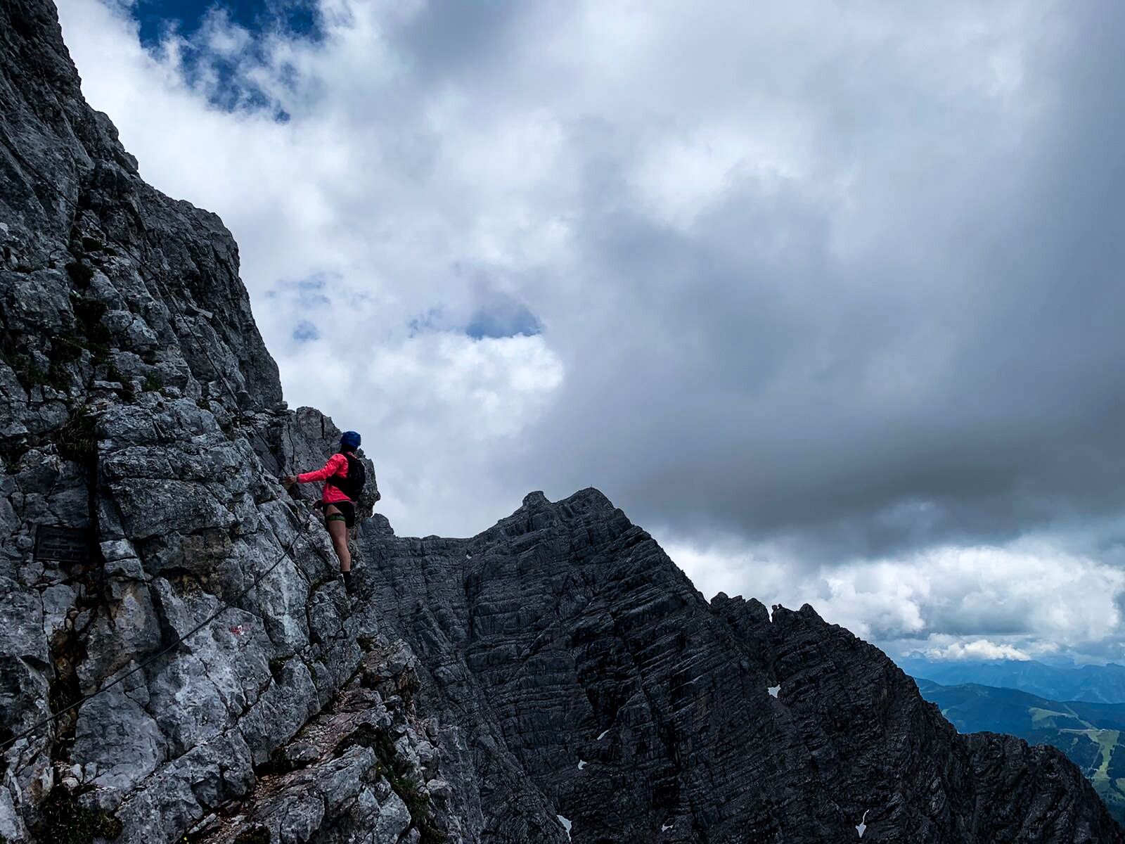

The original ascent through the southwest face of the Selbhorn was built in 1907. Johann Moßhammer (ÖTK Maria Alm) was responsible for the construction along with the mountain guide Johann Herzog. Very few technical aids and no markings were installed. The ascent was intended only for mountaineers who find their way without markings, using only directional cairns. In guide literature, the ascent was called "Moßhammersteig" or "Herzogsteig." Not to be confused with the routes of the same name on the Hochsailer in the Hochkönig massif. In the following years, footholds (e.g., the red chisel) and a steel cable were added in the Keilpromenade at the steep sections. Later, some bolts were placed by mountain guides to better secure their guests. In 2014, this mix of climbing path and via ferrata was equipped over long sections with steel cables and "direction cables" (static textile ropes).
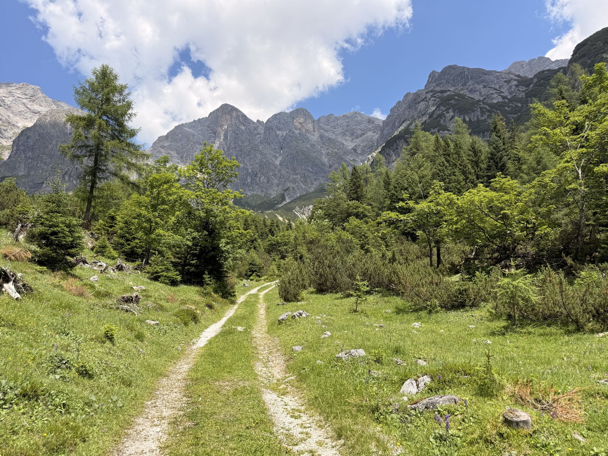
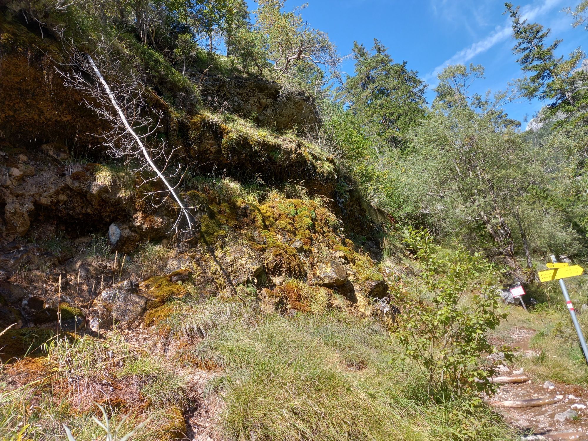
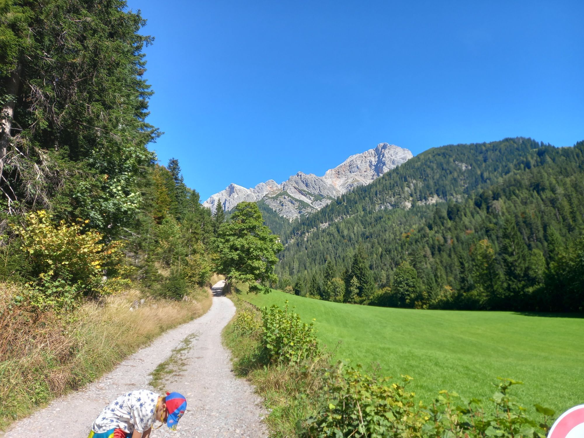
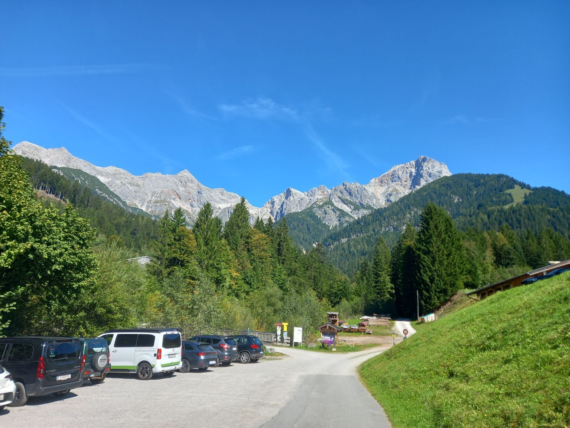
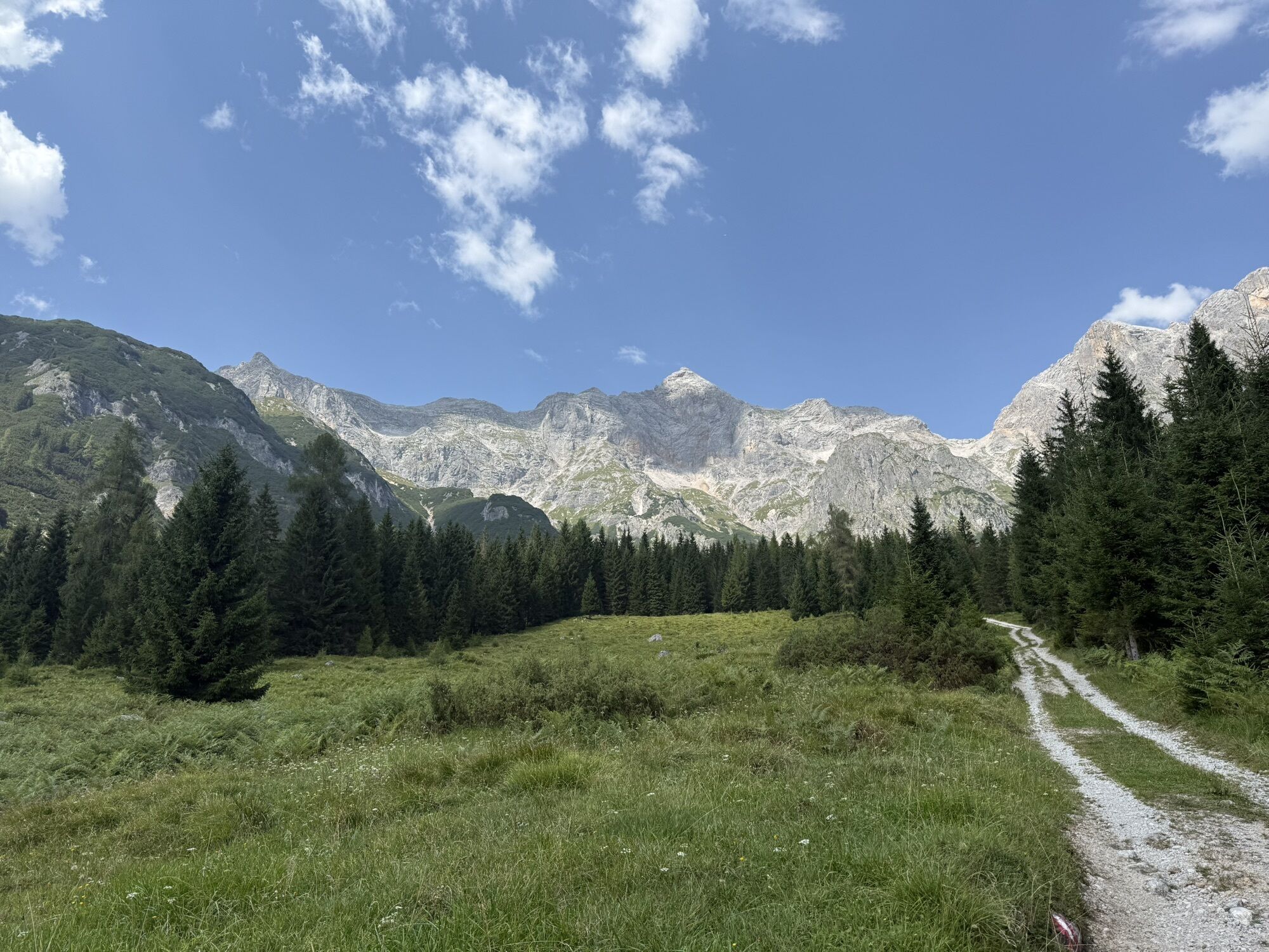
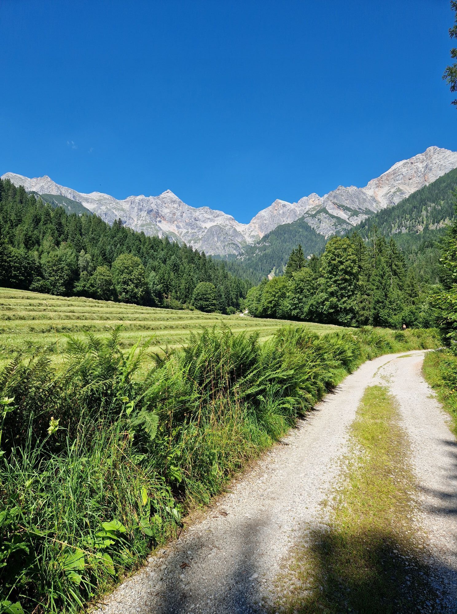
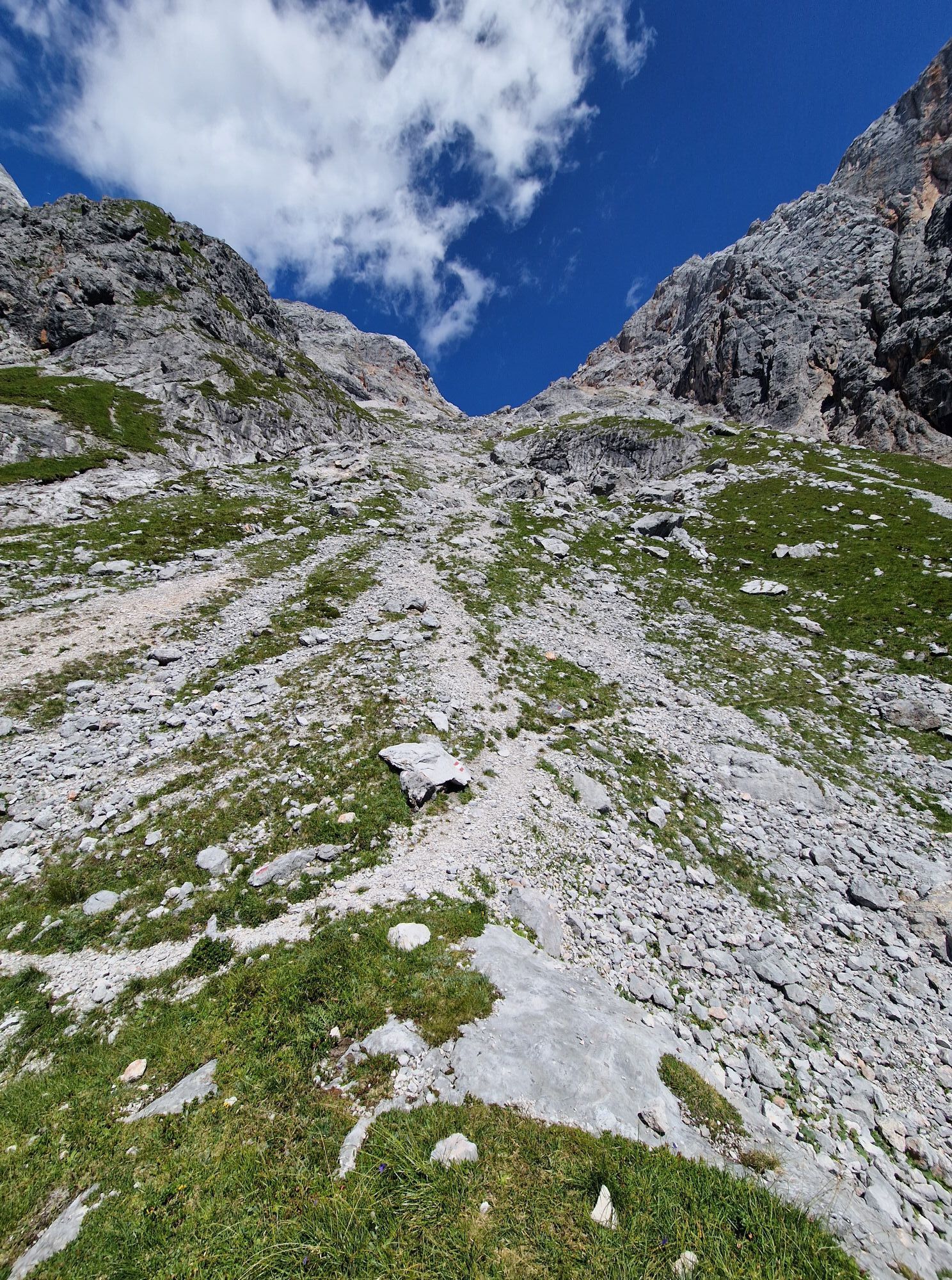
The via ferrata to the Selbhorn – the north summit is the highest peak of the Steinernes Meer – is a huge route requiring about 1800 meters of altitude to overcome. The via ferrata matches large parts of the old Herzogsteig. Some passages have been relocated for better rock quality and climbing pleasure. From the Lechneralm onwards, there is no hut, bivouac shelter, or water available along the entire route. Thus, endurance and good fitness are required. The efforts are rewarded with solitude in the mountains and spectacular landscapes. From the Rohrmoos parking lot, where the information board is located, first ascend on a forest road, then on a marked hiking trail to the Lechneralm. Leave the unmanaged alpine hut on the left and, following the markings, ascend steeply through the forest and open areas to the Braggstein at 1827 m. Rest spot directly at the small hunting hut. Over the dwarf pine-covered ridge to a fork in the path. There, turn left and ascend steeply below the southwest cliffs of the Selbhorn. The junction to the via ferrata is at 2210 m and marked by an information board. Following the trail marks shortly leads to a bench (tying-in place). Another info and planning board is located at the bench.
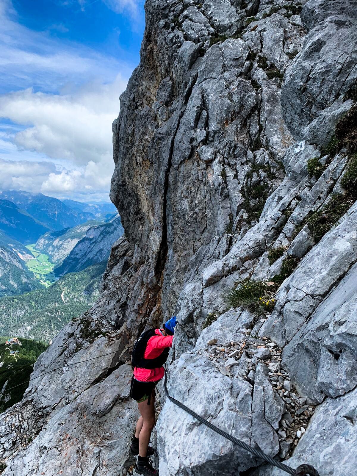
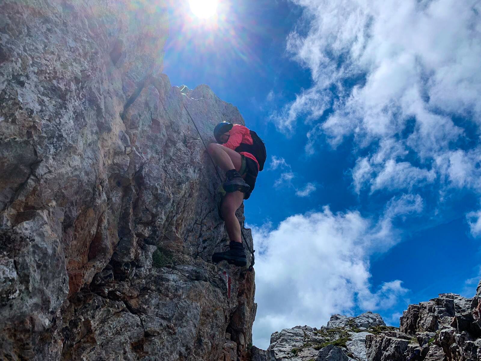
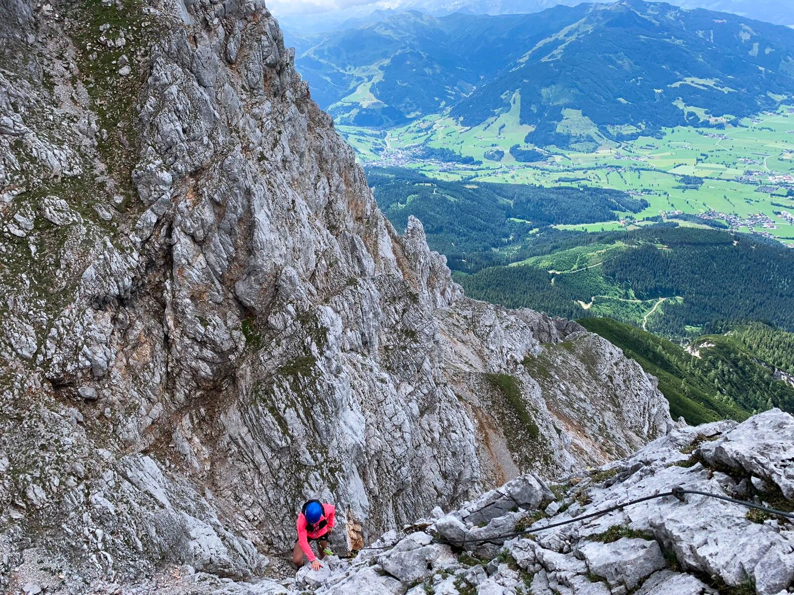
From the entry, always follow the steel cables over slabby ramps and grooves - C - traverse along a wide ledge secured with a textile rope - A - continue over slabs always along the edge to the "Straubinger Rest." - B and C - Now follows the very original passage of the "Keilpromenade" and the "Herzogkamin." - C - After the chimney, airy around the corner and steeply up to the next slab ramp. - C - Over flat slabs - B - continue and then turn right into a small gorge (textile rope). Shortly somewhat steeper into a winding passage (textile rope) and over bulges - B and C - to a large cave that offers a wonderful resting place. Continue along the textile ropes and then change from the west side to the southeast side of the Selbhorn - A - continue over varied passages to the "Örgei Schnaggl," airy, staying on the ridge, on to a short vertical wall. - C - Upon reaching the top, the traverse along textile ropes to the summit wall follows. - A - Over slabby steps straight upwards, steeply and airy traverse left and steeply continue to the exit at the ridge. - C/D - Now always follow the textile ropes in easy climbing to under the red groove directly under the summit. Through the groove, somewhat loose, straight up and after a few meters to the summit cross at 2643 meters.
Descent:
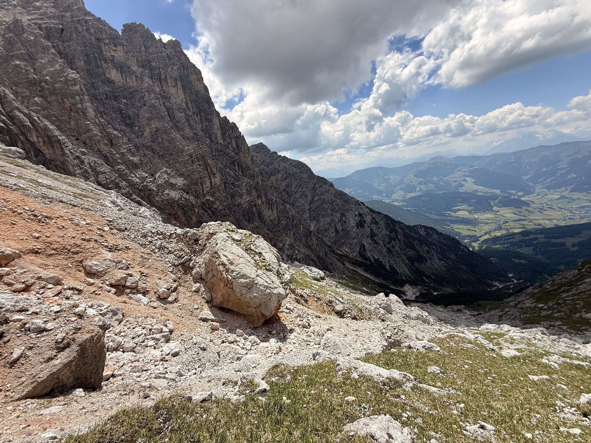
From the summit cross, follow the marked path to the north summit of the Selbhorn (2655 m). A short steep section is overcome with the help of a steel cable. You can visit the north summit. Usually, however, one descends directly westward following the markings and steel cables into the Luegscharte (2451 m). There, keep left and follow the marked but partly unpleasant scree terrain path to the ascent trail. Continue as ascent. Alternatively, you can descend via the Buchauer Scharte, about 30 minutes more effort, as the Mandlköpfe must be circumvented. This descent is somewhat less exposed than the descent via the Luegscharte.
This via ferrata is only suitable for experienced, sure-footed, and enduring via ferrata climbers! The day tour has almost 2000 m elevation. This circumstance should be considered in tour planning! Be sure to follow the information on the planning board at the Rohrmoos parking lot and at the start of the via ferrata. Only ascend to the summit in stable weather, with an early start and enough drinking reserves. The descent from the summit and over the Luegscharte runs over steep scree terrain. So you should be sure-footed – those who are not should choose the descent via the Buchauerscharte (about 30 minutes additional effort)!
Especially in early summer, long snow remnants persist in the steep cirque below the Luegscharte. These then have to be crossed on the descent. If you encounter old snow on the approach and don't have an ice axe and crampons, you should better turn back.
Information and maps:
Alpine Club map 10/2 Hochkönig-Hagengebirge, 1:25,000 BEV ÖK-UTM 3215 Saalfelden, 1:50,000 BEV ÖK-BMN 124 Saalfelden, 1:50,000 Kompass WK 15 Tennengebirge-Hochkönig, 1:50,000 Freytag & Berndt WK 103 Pongau - Hochkönig - Saalfelden, 1:50,000
www.bergsteigen.com www.alpenvereinaktiv.com
Time schedule:
Approach from the Rohrmoos parking lot to the entry - 3.5 hours Via ferrata - 2 to 2.5 hours
Descent via Luegscharte to the Rohrmoos parking lot 4.5 hours. Descent via Buchauerscharte to the Rohrmoos parking lot 5 hours.
© Markus Hirnböck
Áno
Self-assessment: Before every mountain tour, check your physical fitness and correctly estimate your strength and that of your companions – especially children! Sure-footedness and a head for heights are often very important!
Planning and preparation: Carefully plan every intended mountain tour beforehand. Hiking maps and guidebooks, as well as information from alpine clubs and locals, such as mountain guides and hut wardens, can be helpful.
Equipment: You need appropriate equipment and clothing for the mountain, especially sturdy, high footwear with a grippy sole. Weather and cold protection are indispensable; weather can often change suddenly.
Emergency equipment: Take a complete first aid kit, a mobile phone with a power bank, and possibly a satellite phone.
Rope teams: On alpine tours with technical sections, it is advisable to travel in rope teams. Practice proper securing techniques and communication with your partners.
Glacier crossing: Watch for crevasses and inform yourself about glacier conditions. Use correct techniques and always maintain a safe distance.
Proper handling of altitude: Watch for symptoms of altitude sickness (headaches, nausea, dizziness). Ascend slowly and take breaks for acclimatization.
Weather forecasts: Check current weather conditions at: zamg.at or www.uwz.at.
Coexistence: Observe the 10 rules for proper interaction with grazing animals and do not leave any litter in nature!
Do not dislodge stones: Do not dislodge stones as this can seriously endanger other hikers. Areas marked with danger of rockfall should be crossed as quickly and attentively as possible.
Turn back in time: This is no disgrace but a sign of prudence. It becomes necessary if the weather changes, fog sets in, or if the path becomes too difficult or is in poor condition.
Emergency numbers: Alpine emergency: 140, International emergency: 112, Rescue: 144
Arrival from Salzburg: Take the A10 motorway to the Bischofshofen exit, then on B311 towards Bischofshofen. Follow the Hochkönig federal road/B164 to Maria Alm.
Arrival from Innsbruck/Kufstein: Take the Loferer road/B178 towards St. Johann in Tirol, then via the Hochkönig federal road/B164 through Saalfelden to Maria Alm.
For the use of the Austrian motorway and expressway network, a valid vignette is required. Carrying a first aid kit, warning triangle, and safety vest is also mandatory. More info at Asfinag.
ÖBB-Scotty: Schedule information
Bus line 620: Schedule information
Hiking bus: Schedule information
Free parking available at the Rohrmoos guesthouse
C/D
More information about hiking and activities in the Hochkönig region:
For detailed information about hiking maps, the opening hours of mountain railways as well as huts and alpine pastures in summer, we recommend you visit the local service center. There you will receive not only the hiking maps but also valuable tips on the best hiking routes and current conditions.
Summer opening hours of mountain railways: During the summer months, the mountain railways offer various opening hours that may vary depending on weather conditions and the season. Please check the current operating times in advance.
Opening hours of huts and alpine pastures in summer: The huts and alpine pastures in the region are ideal rest stops for hikers. Here too, opening hours may vary depending on the season and the day of the week. Let the friendly hosts advise you about the offers and specialties on site.
For more information please visit our website: www.hochkoenig.at.
If you have questions or want to get specific information, please feel free to contact us:
Email: region@hochkoenig.at
Phone: +43 (0)6584 20388
We look forward to helping you and wish you lots of fun exploring the beautiful hiking region Hochkönig!
 Získajte prehľad
Vždy naživo na mieste s viac ako 9 500 webovými kamerami. bergfex Ako používateľ Pro si teraz môžete pozrieť príslušné webové kamery pre mnohé zájazdy v aplikácii zájazdy z. Môžete si tak priamo prezerať aktuálne podmienky.
Získajte prehľad
Vždy naživo na mieste s viac ako 9 500 webovými kamerami. bergfex Ako používateľ Pro si teraz môžete pozrieť príslušné webové kamery pre mnohé zájazdy v aplikácii zájazdy z. Môžete si tak priamo prezerať aktuálne podmienky.
Obľúbené výlety v okolí
-
5,0
Königssee - Kärlinger-Haus
Turistika 10,1 km -
4,2
Maria Alm - Riemannhaus
Turistika 3,99 km -
4,8
Summit stormer route Lauskopf
ťažkéTuristika 8,16 km -
4,8
Summit storming route Taghaube
ťažkéTuristika 6,25 km -
4,7
Panorama hike to the Hochkeil
strednáTuristika 6,07 km -
4,7
About the "Four Huts circular route" to Windraucheggalm
strednáTuristika 10,1 km -
4,6
Steinalm
svetloTuristika 2,71 km -
5,0
Watzmann Überschreitung an einem Tag
ťažkéTuristika 23,9 km -
4,3
Schwalbenwand Nr. 80, 81, 82
strednáTuristika 13,0 km -
4,4
Peter-Wiechenthaler Hut
strednáTuristika 4,32 km
Turistika a stopovanie


Nenechajte si ujsť ponuky a inšpiráciu na ďalšiu dovolenku
Vaša e-mailová adresa bol pridaný do poštového zoznamu.





