






TIP Trip Tirol ➤ Felbertauern Pass connection between North and East Tyrol
Úroveň náročnosti: 1
📌 Elevation 1632 m
🡱 1002 m 🡳 1118m
Gradient: Ø 🡱 4.5% 🡳 2.6 %
Max: 🡱 14.7% 🡳 10.4 %
From Mittersill, the north ramp winds uphill with about 9% gradient to the 5 km long Felbertauern...
ð Elevation 1632 m
𡱠1002 m 𡳠1118m
Gradient: Ø ð¡± 4.5% 𡳠2.6 %
Max: 𡱠14.7% 𡳠10.4 %
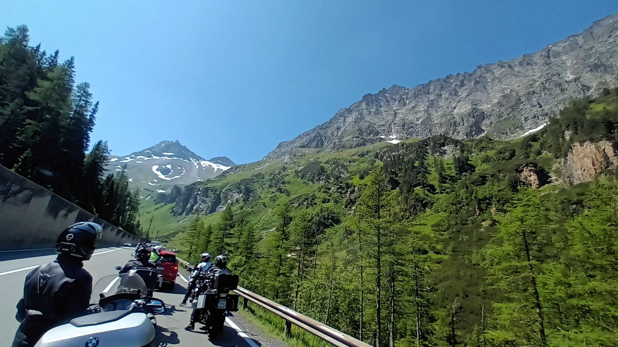
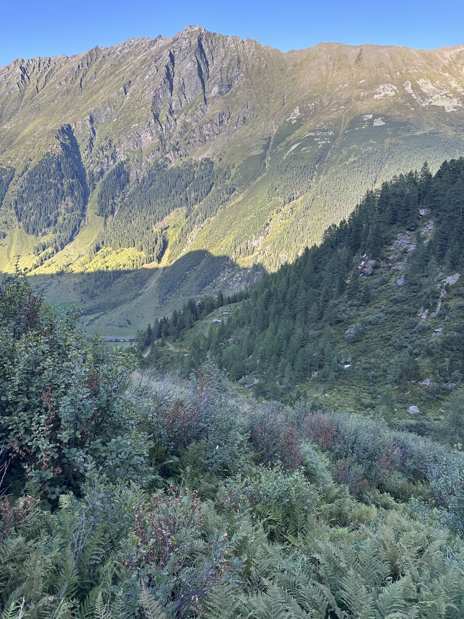
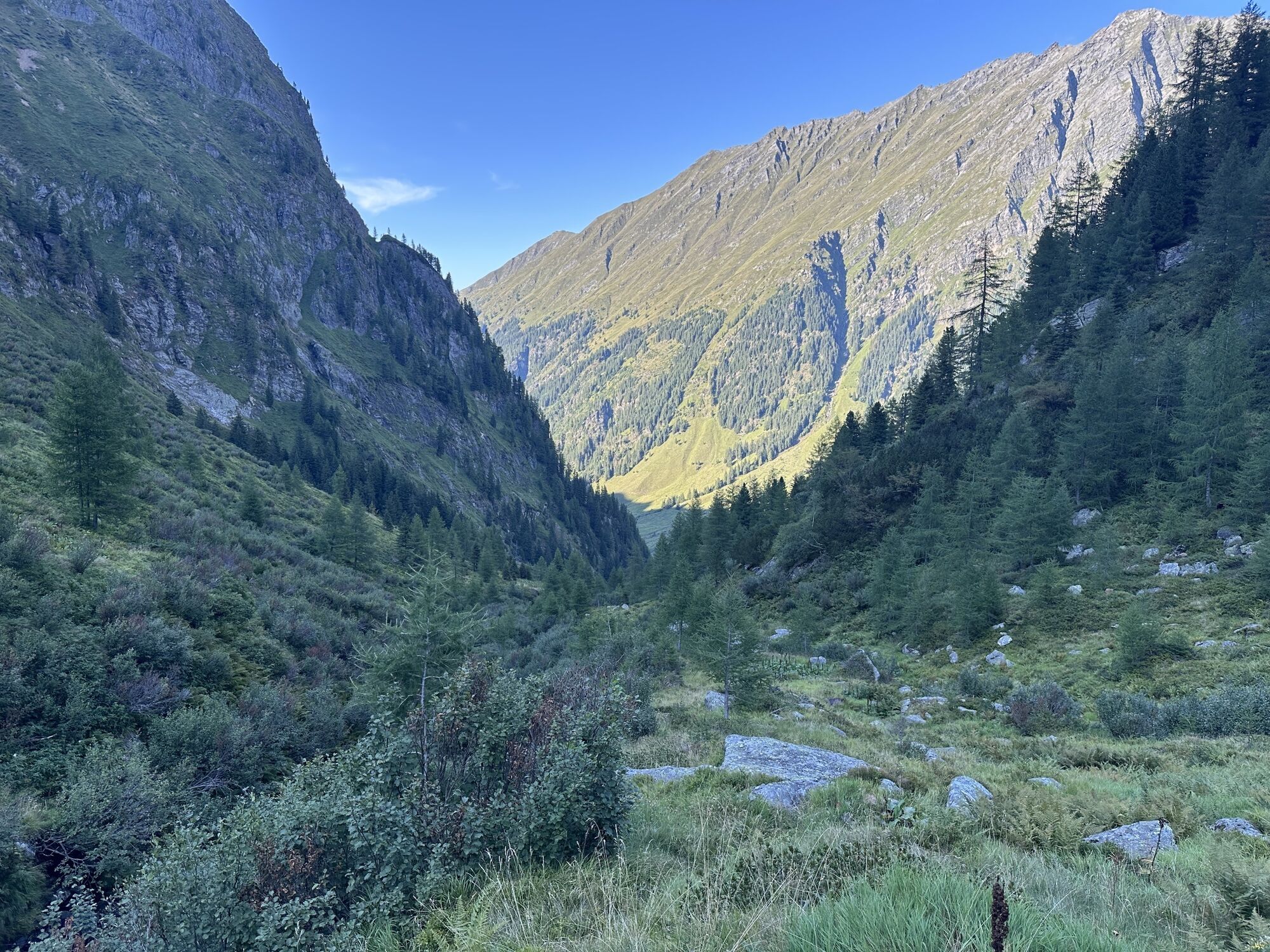
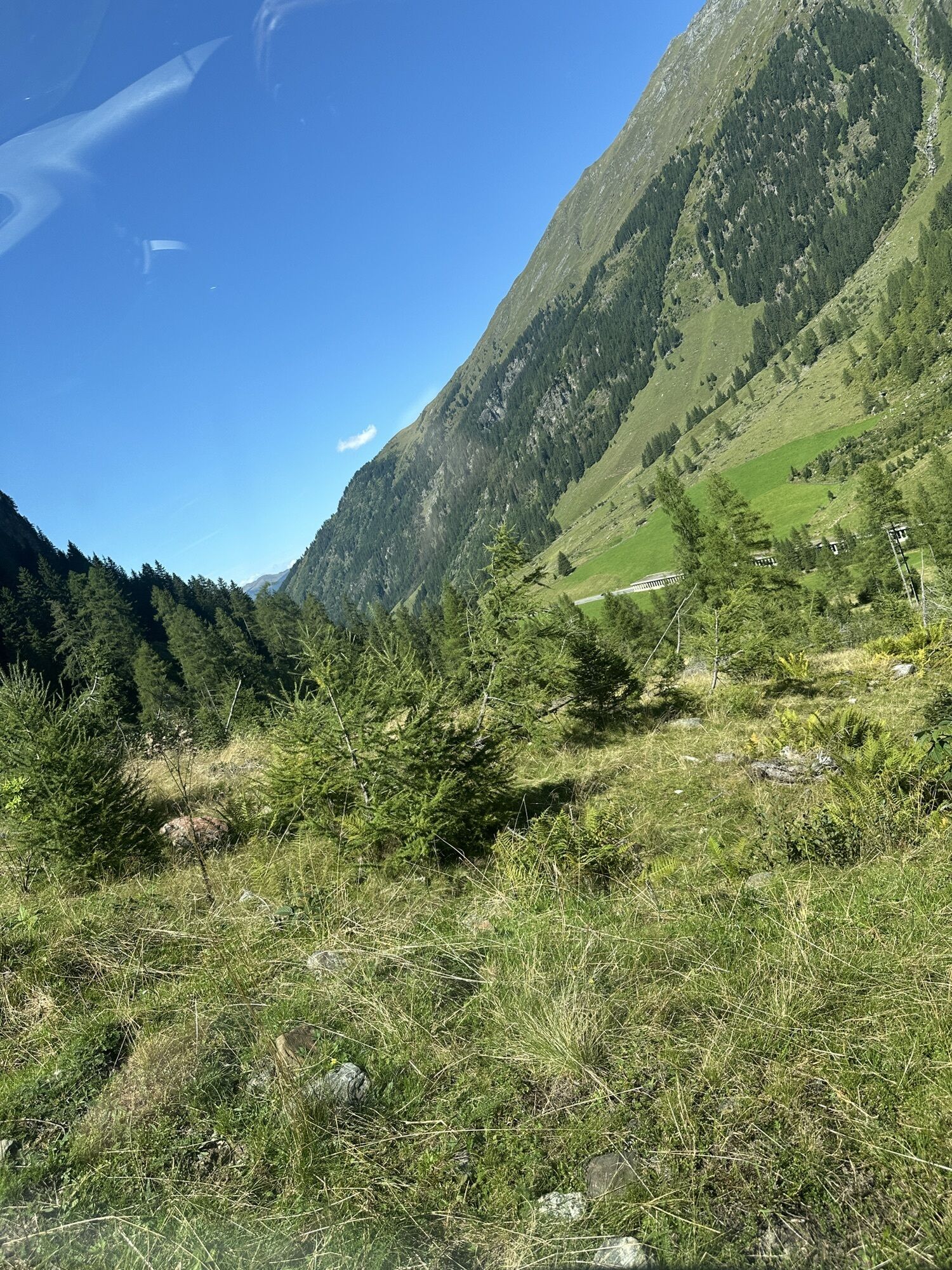
From Mittersill, the north ramp winds uphill with about 9% gradient to the 5 km long Felbertauern tunnel, whose south portal already lets the biker enter the sun-drenched high mountain landscape of East Tyrol. Built with three lanes, it goes up to 1632 meters elevation, then downhill through the magnificent Alpine panoramas of the Hohe Tauern.
A special attraction lies to the right and left of the handlebars. Definitely treat yourself to a detour to the toll-required Kals Großglockner road near Huben. The latter leads from the south to the imposing flanks of Austria's highest peak and offers breathtaking views of the Hohe Tauern along almost the entire route. And at the very end of the toll route, we find the famous Lucknerhaus, a year-round operated mountain hut. And the Defereggental south of the Felbertauern road leads us wonderfully winding directly to the Staller Sattel.

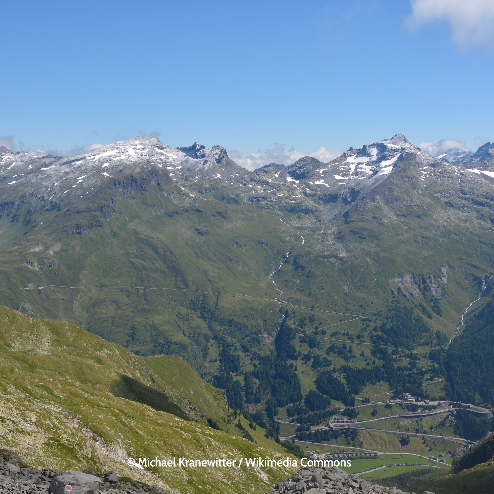
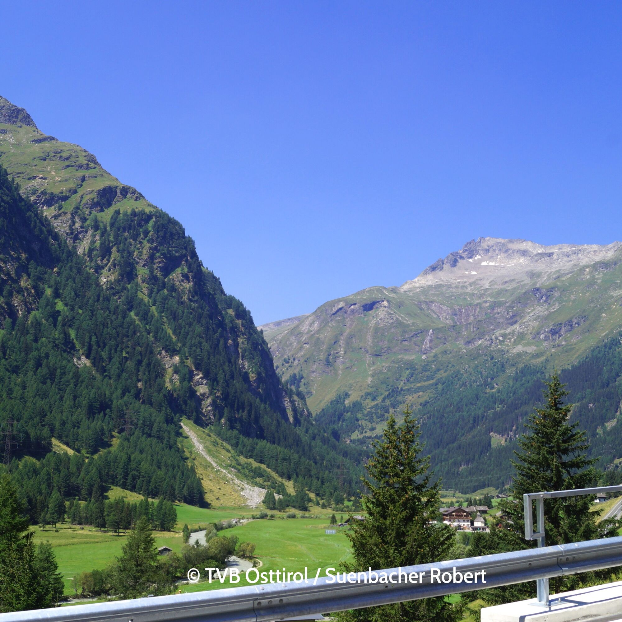
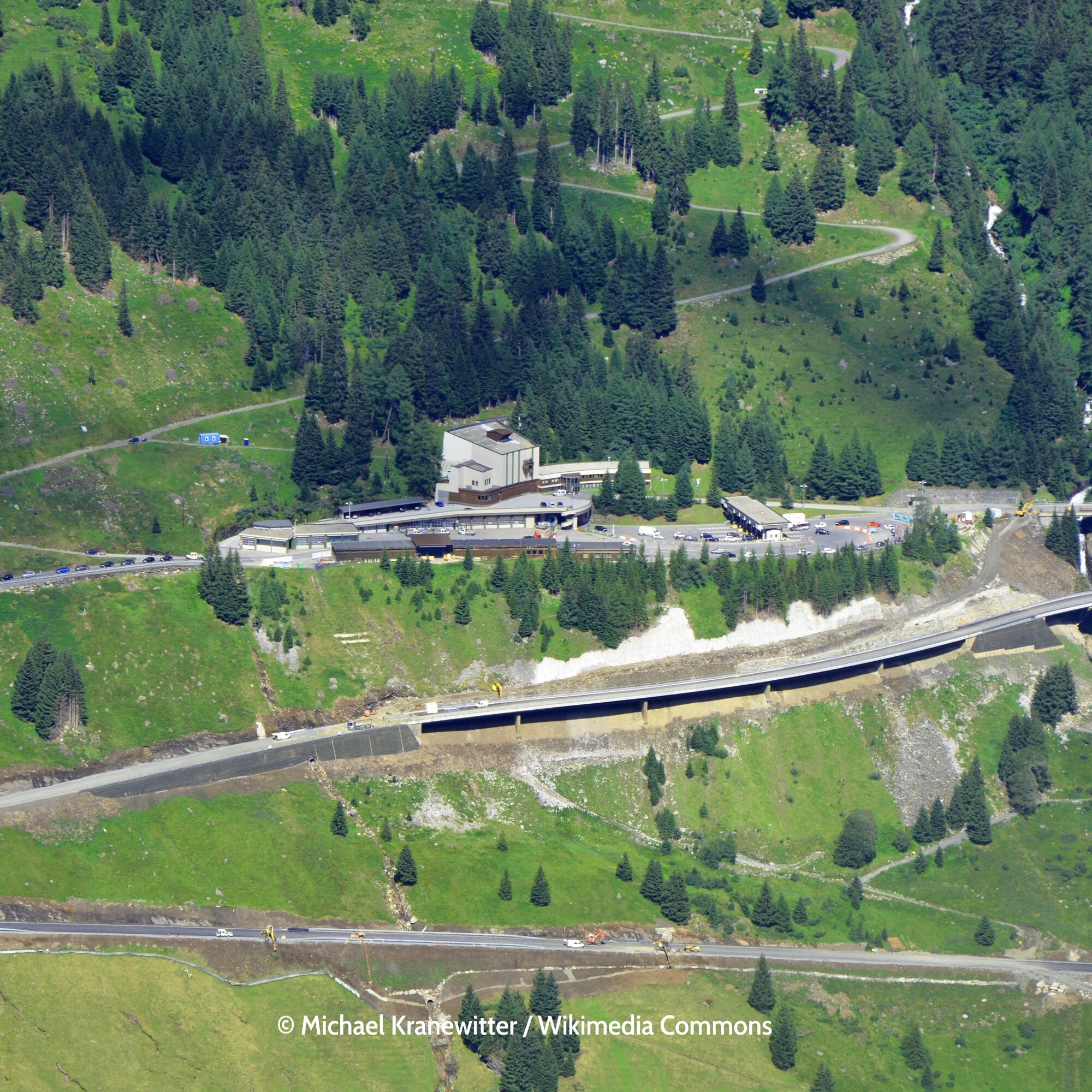

ð Felbertauern
𡱠1002 m 𡳠1118m
Gradient: Ø ð¡± 4.5% 𡳠2.6 %
Max: 𡱠14.7% 𡳠10.4 %
Between Mittersill in Salzburg region and Lienz in East Tyrol, the 34 km long, well-developed and year-round passable road leads through the Hohe Tauern National Park up to 1,630 m and offers many viewpoints, parking spaces and hiking opportunities
Áno
Áno
Áno
Motorcycle: ⤠Motorcycle helmet ⤠Motorcycle gloves ⤠Motorcycle boots ⤠Motorcycle jacket and pants
Convertible: ⤠Baseball cap ⤠Sunscreen ⤠Sunglasses ⤠Convertible ?!?!
Always pay attention to the road surface
Coming from the north - (no vignette required!) (D, NL, ...): Munich - Kufstein - St. Johann in Tirol - Kitzbühel - Pass Thurn - Mittersill
Coming from the west (CH): Inn Valley Motorway (A12 = vignette required!) - Exit Wörgl East - St. Johann in Tirol - Kitzbühel - Pass Thurn - Mittersill
Coming from the east: Vienna - Salzburg (A 1 = vignette required!) - Lofer - St. Johann in Tirol - Kitzbühel - Pass Thurn - Mittersill
Coming from the south: Lienz - Matrei - Felbertauern road (toll required) - Mittersill
Preferably with convertible or motorcycle 😀
Enough parking spaces available
â¤ï¸ Vacation in Tyrol â search & book
1
Definitely treat yourself to a ride through the Virgental.
Definitely buy the toll ticket for Großglockner and Felbertauern at once - somewhat cheaper
 Získajte prehľad
Vždy naživo na mieste s viac ako 9 500 webovými kamerami. bergfex Ako používateľ Pro si teraz môžete pozrieť príslušné webové kamery pre mnohé zájazdy v aplikácii zájazdy z. Môžete si tak priamo prezerať aktuálne podmienky.
Získajte prehľad
Vždy naživo na mieste s viac ako 9 500 webovými kamerami. bergfex Ako používateľ Pro si teraz môžete pozrieť príslušné webové kamery pre mnohé zájazdy v aplikácii zájazdy z. Môžete si tak priamo prezerať aktuálne podmienky.
Obľúbené výlety v okolí
-
4,1
Gletscherlehrweg Innergschlöß
strednáTuristika 9,36 km -
4,5
Circular hike Proßeggklamm
strednáTuristika 8,41 km -
4,6
Vom Matreier Tauernhaus über die Felsenkapelle nach Innergschlöss
svetloTuristika 9,19 km -
4,7
Hollersbach - Neue Fürther Hütte
Turistika 16,0 km -
3,8
Mittersill - Hintersee und Plattachsee
ťažkéTuristika 9,90 km -
3,9
Hollersbach: Pihapper Wegnr. 935
ťažkéTuristika 12,8 km -
4,1
Habachtal bis zur Thüringer Hütte
Turistika 6,53 km -
4,1
Via the Schösswendklamm to Hintersee
strednáTuristika 8,29 km -
4,8
Hollersbach: Stream Nature Trail Path no. 16
strednáTematická trasa 11,7 km -
4,7
Runde um den Weißsee - Gletscherlehrpfad Uttendorf, Österreich
strednáTuristika 6,48 km
Turistika a stopovanie


Nenechajte si ujsť ponuky a inšpiráciu na ďalšiu dovolenku
Vaša e-mailová adresa bol pridaný do poštového zoznamu.





