






MTB: Hallein - Zinkenkogel
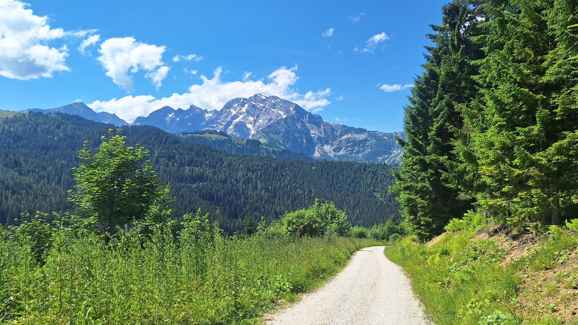
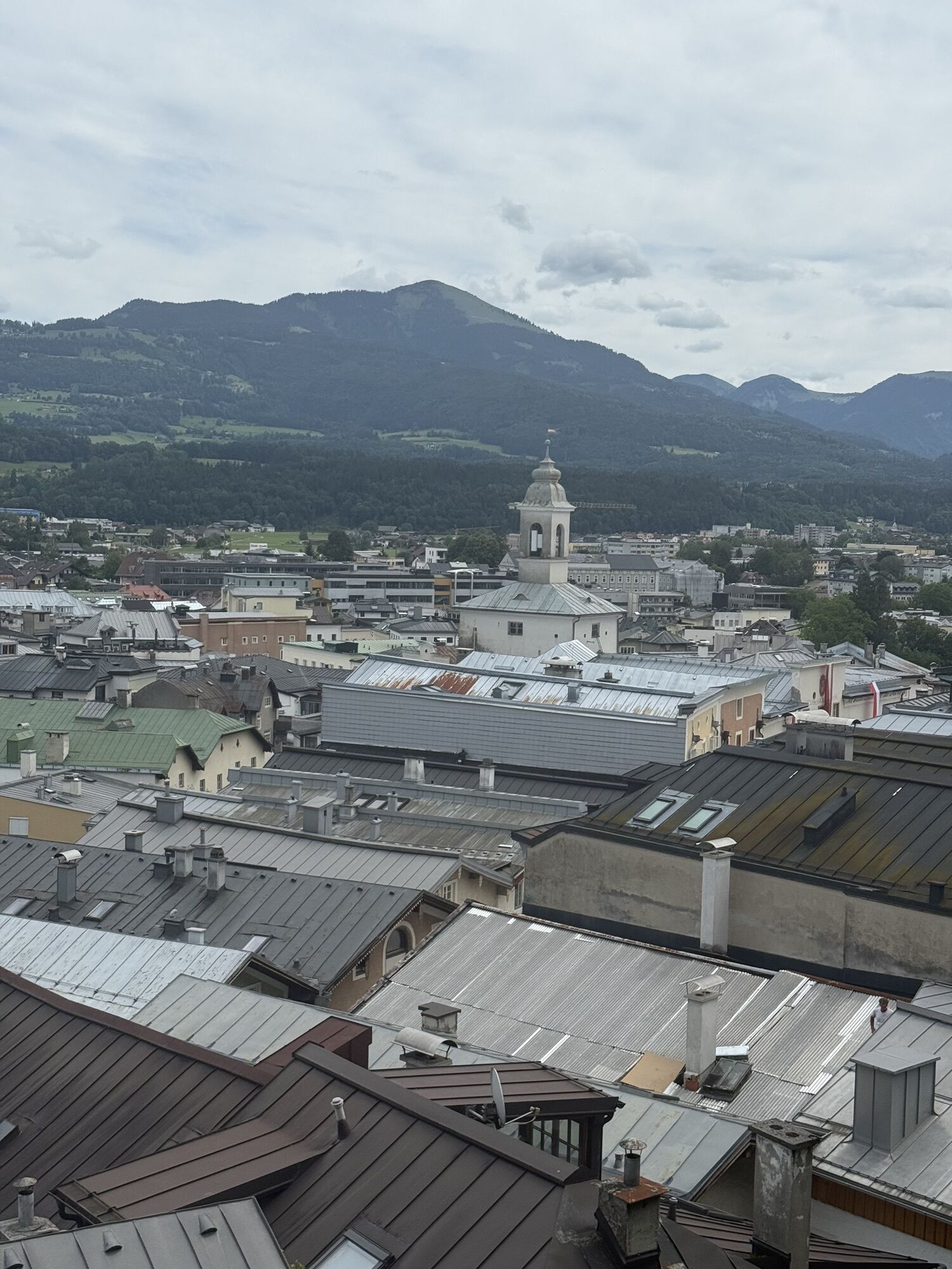
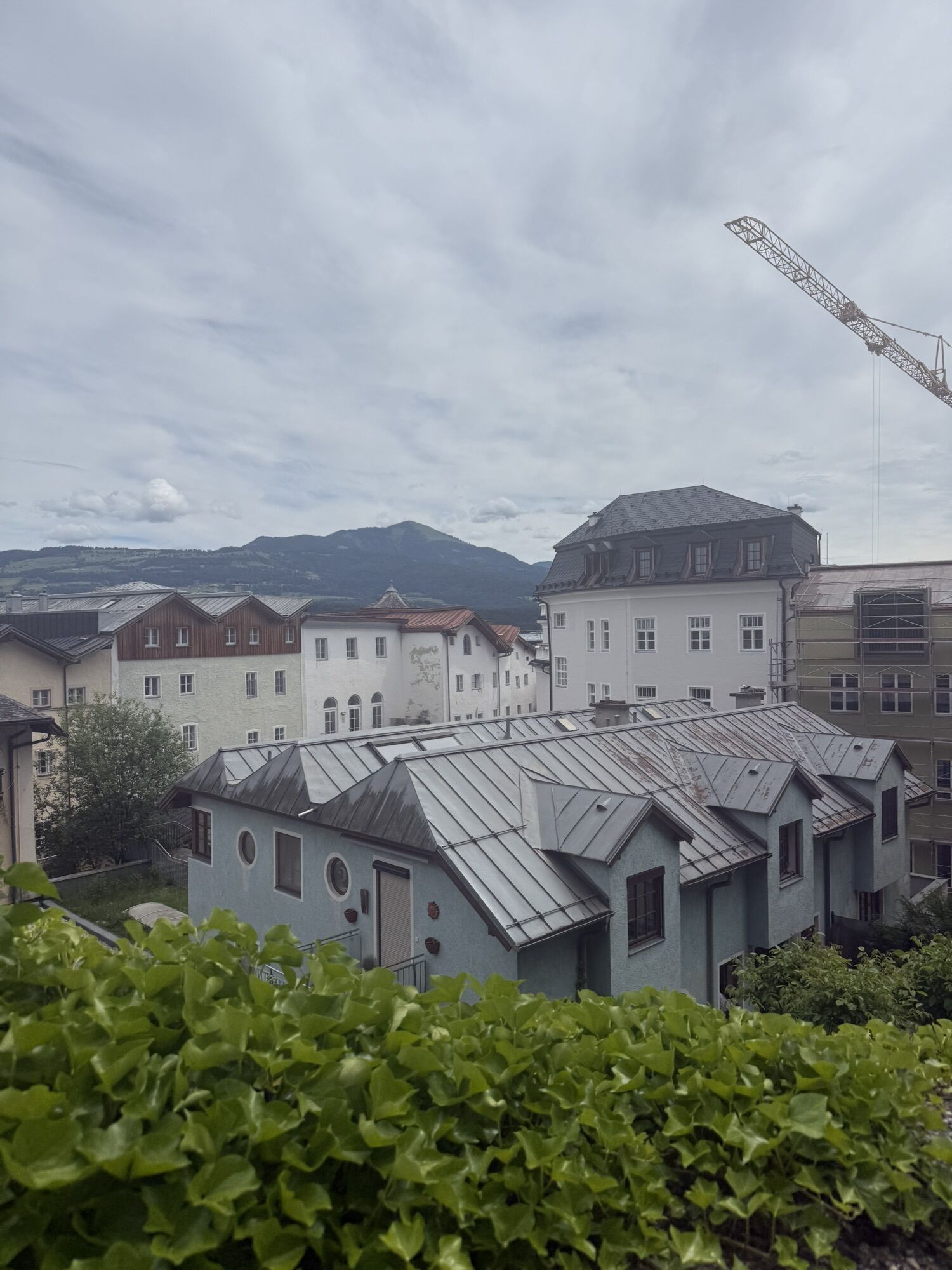
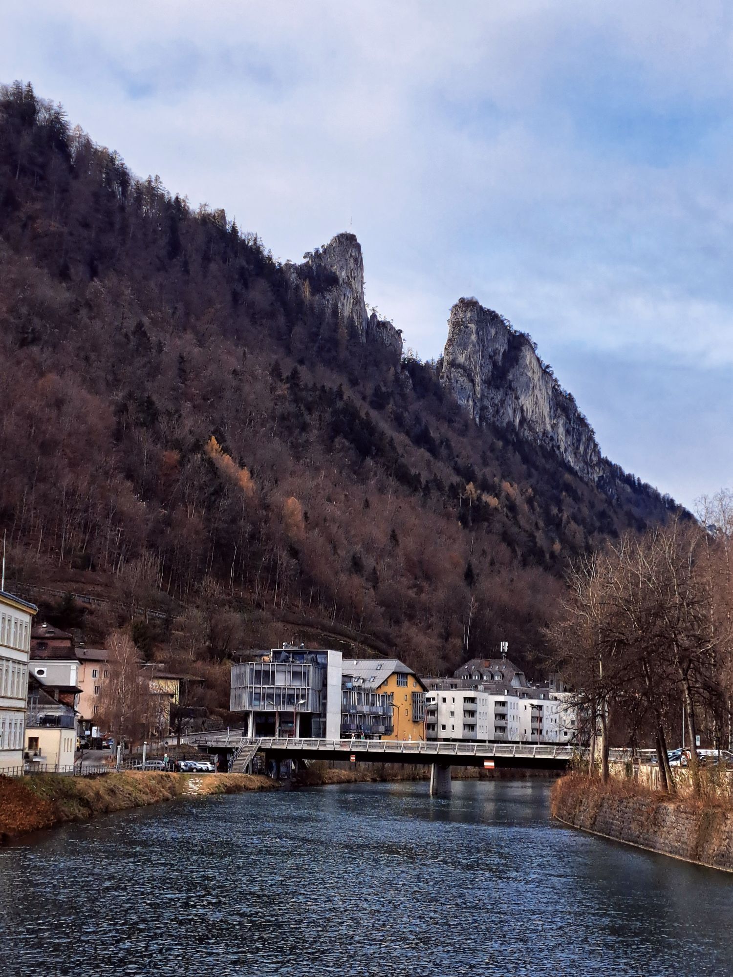
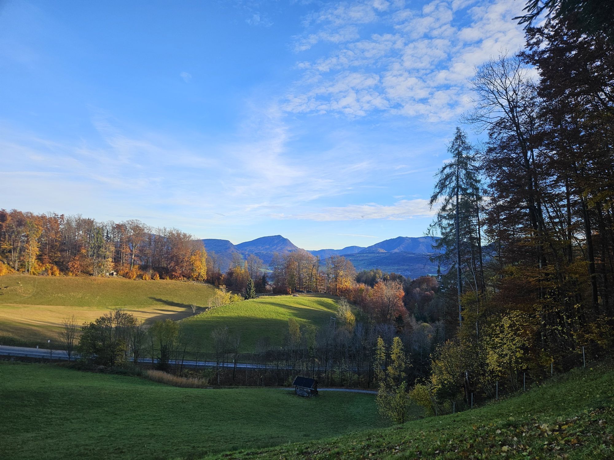
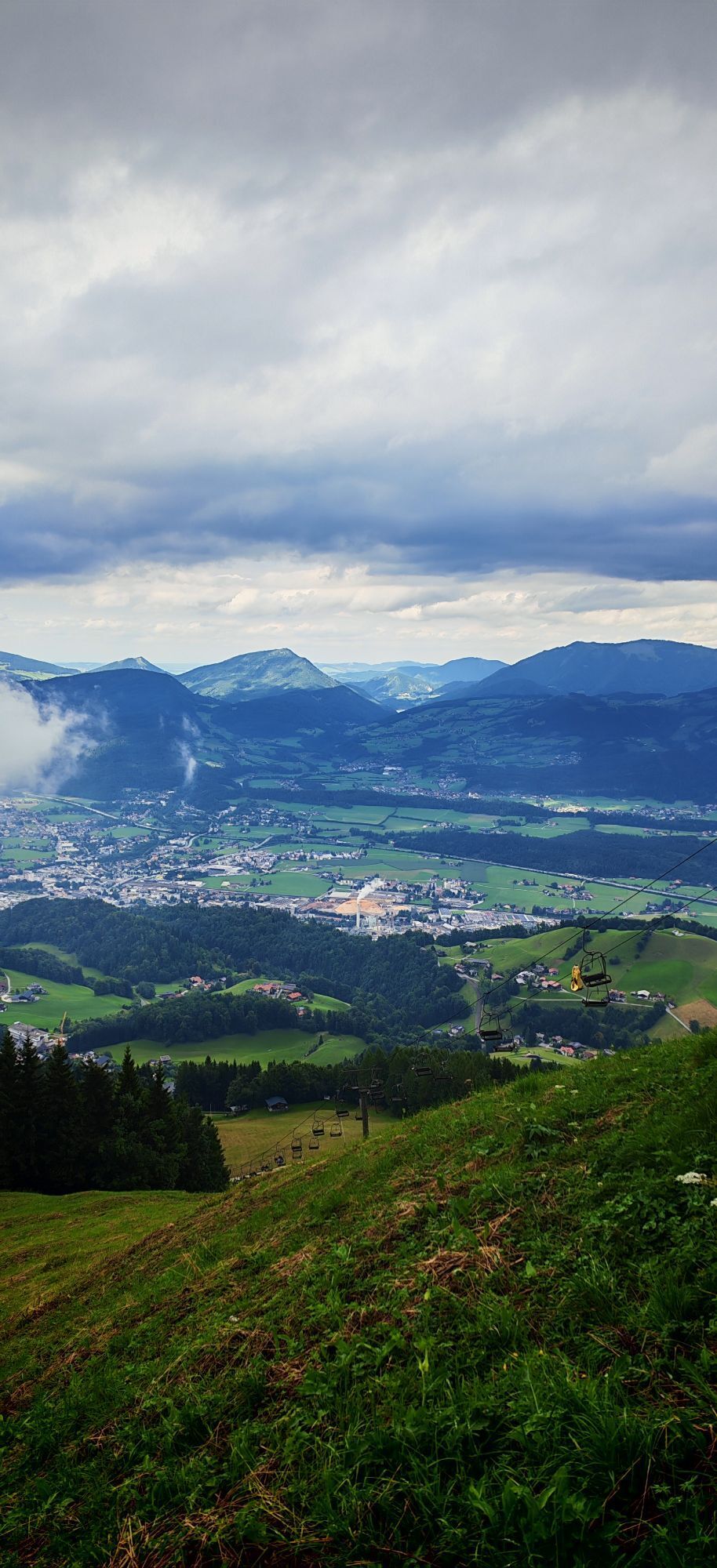
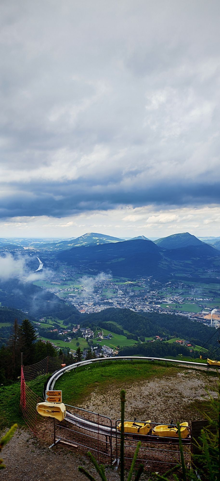
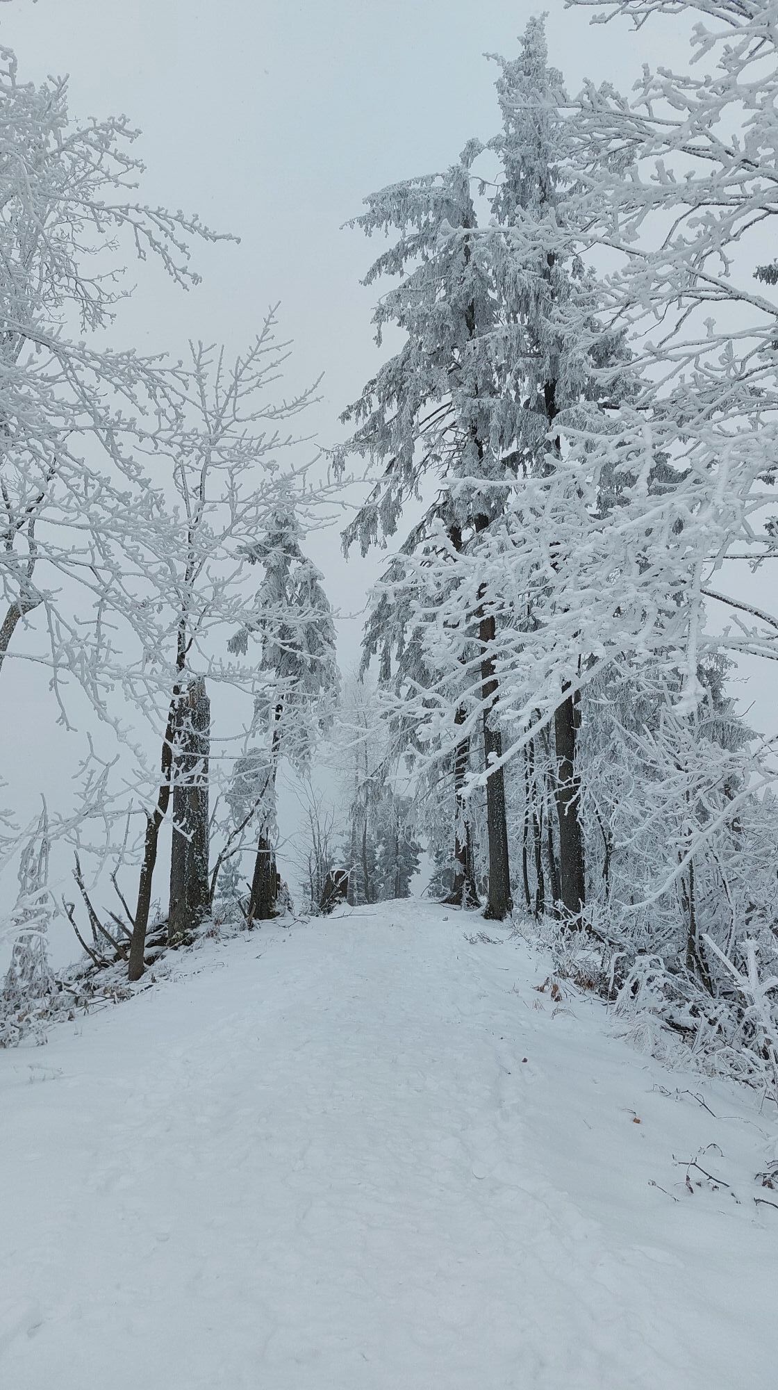
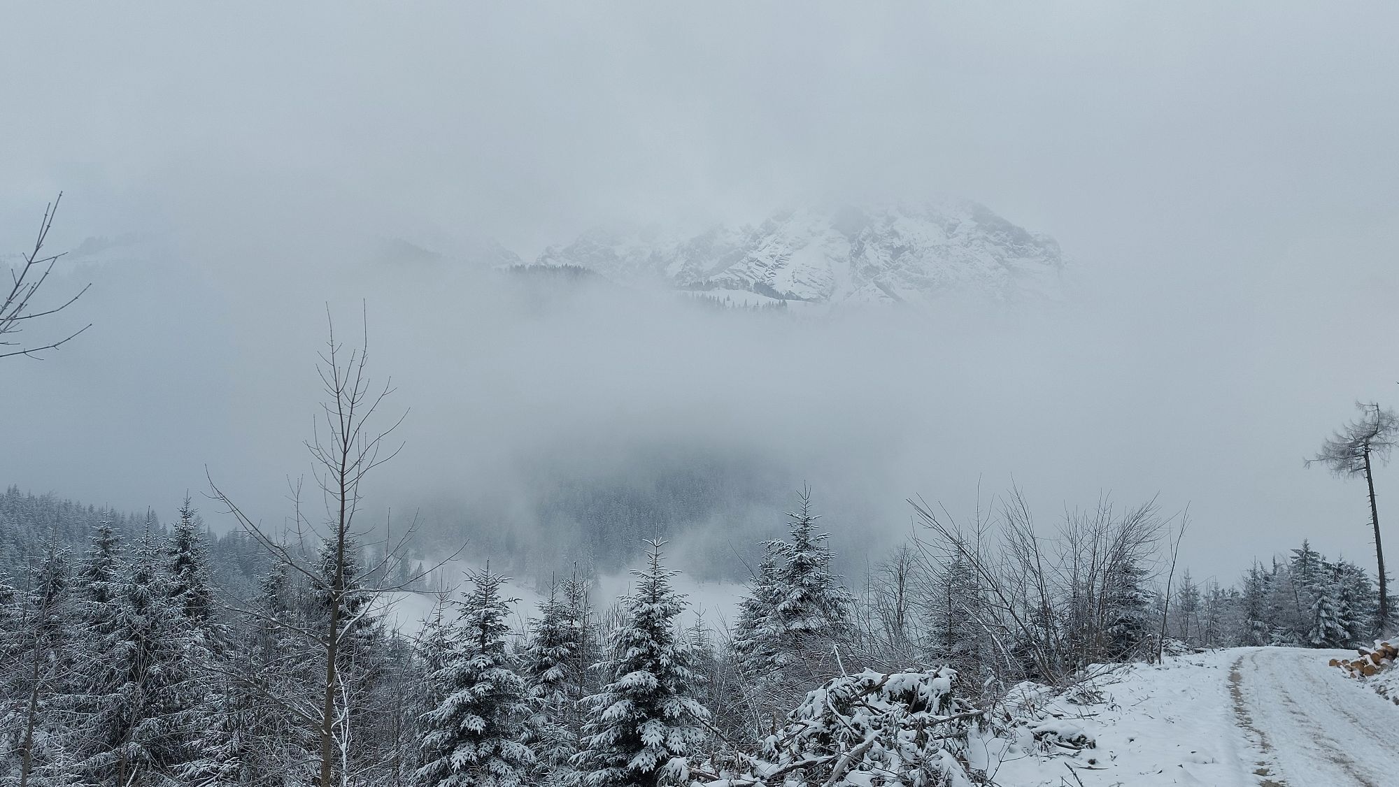
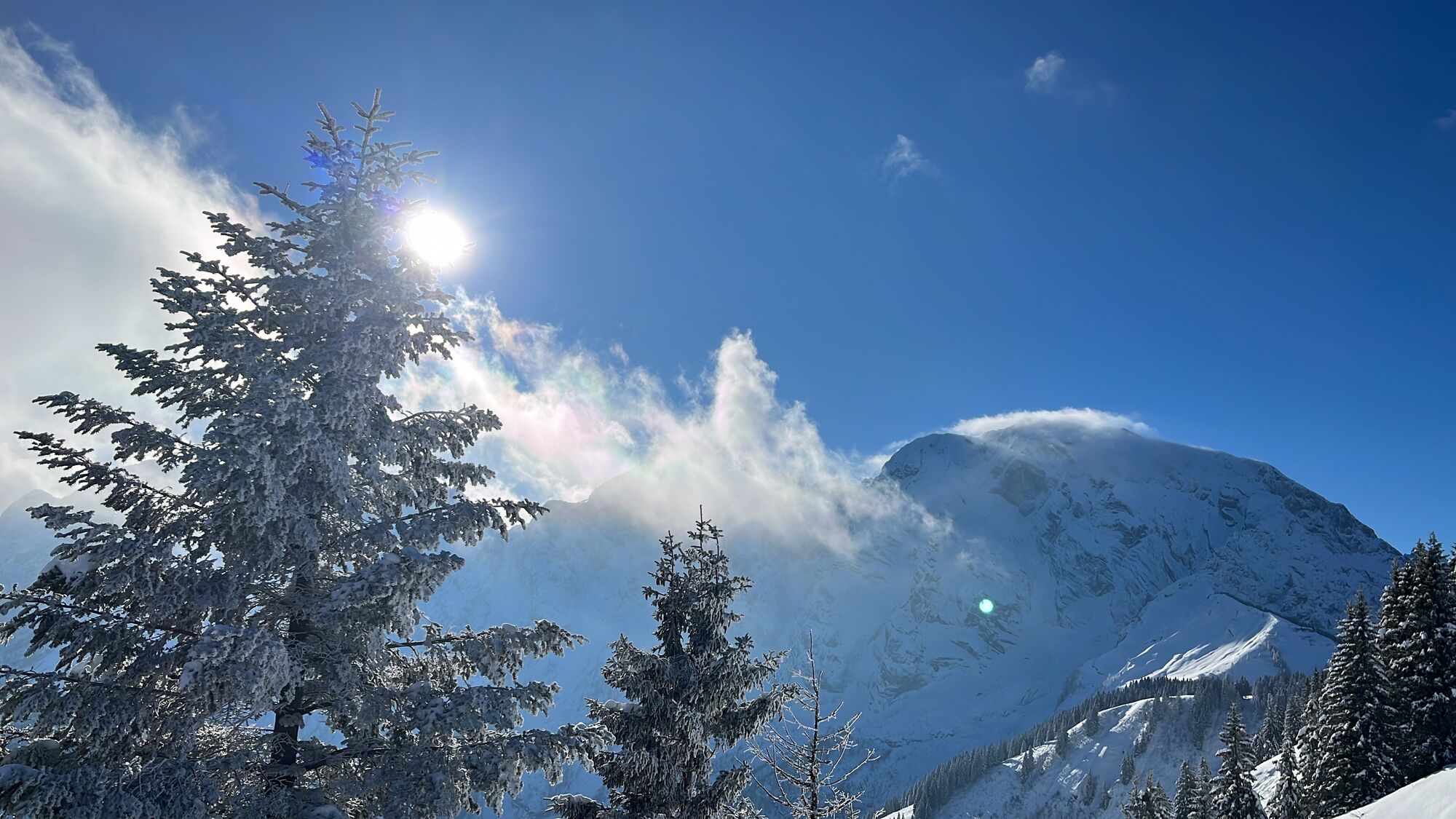
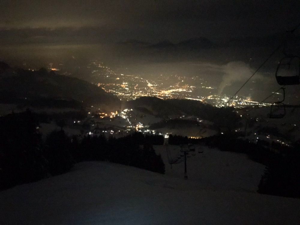
From Pernerinsel in Hallein we ride through the town, past the parish church and the Silent Night Museum, up to the Gymnasium at Georgsberg. There, Winterstallstraße branches off to the right to Dürrnberg....
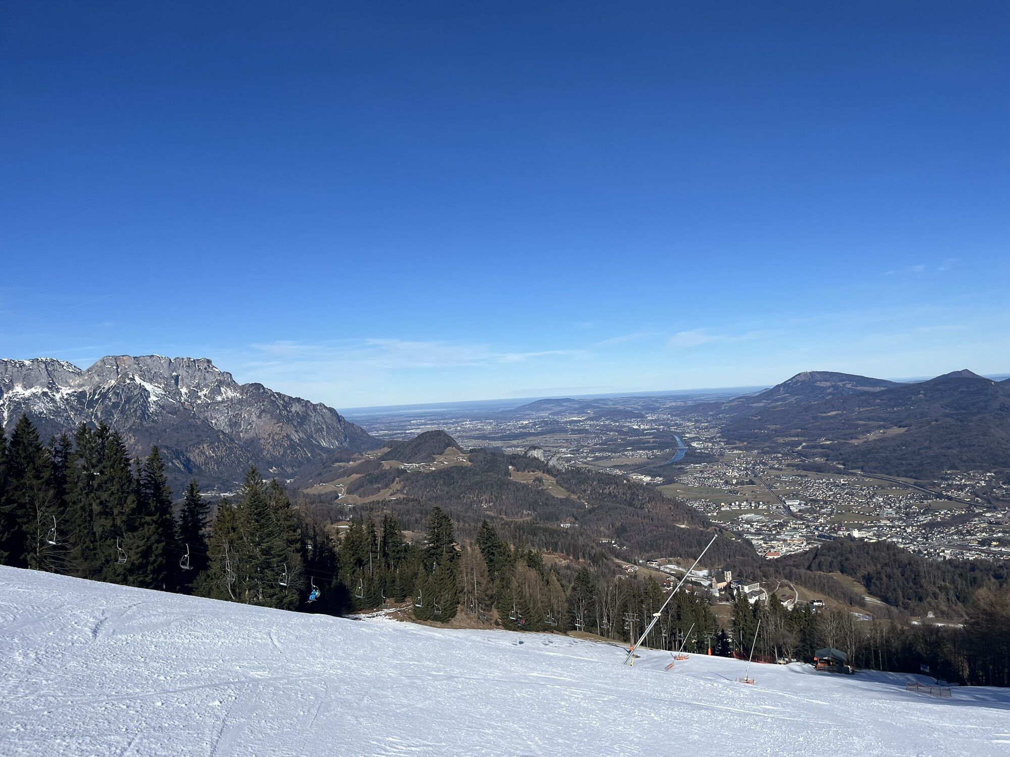
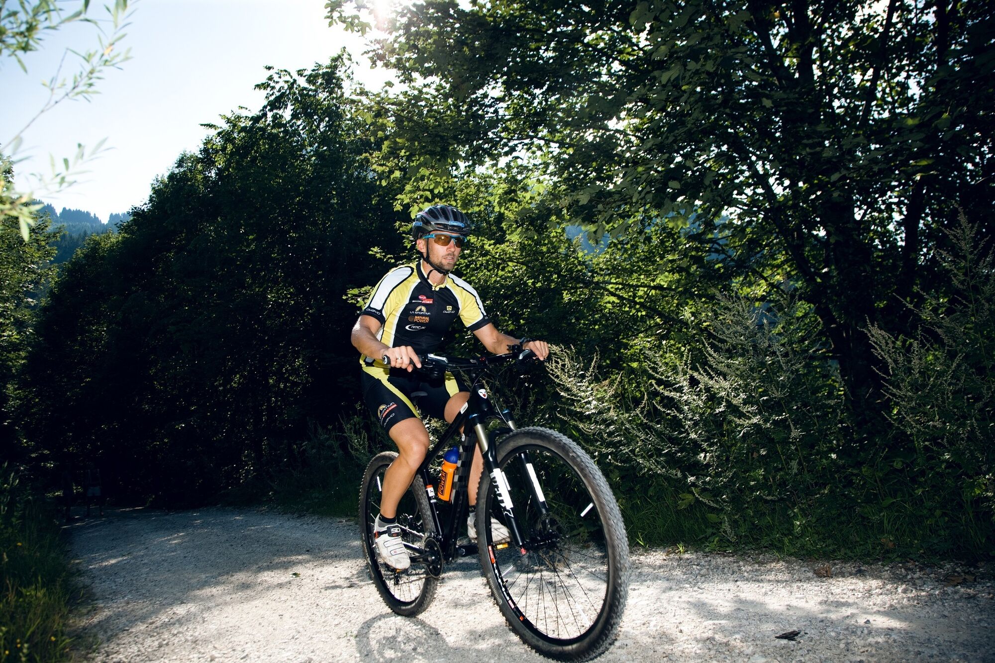
From Pernerinsel in Hallein we ride through the town, past the parish church and the Silent Night Museum, up to the Gymnasium at Georgsberg. There, Winterstallstraße branches off to the right to Dürrnberg. With a short exception, it goes steadily uphill to the parking lot of the Zinken lifts and from there along the Protestants' path to the barrier just past Stockergut. There we leave the paved roads and ride on forest roads and partly very steeply over the ski slope to the mountain station "Zinkenstüberl".
After reaching the highest point, the descent is on the same trail that was used for the ascent.


Áno
Take the Hallein exit (Exit 16) on the Tauern motorway (A10) towards Hallein. We follow the signs to "Zentrum" and turn right onto Pernerinsel on the city bridge. The Hallein / Bad Dürrnberg tourism association is located directly on Pernerinsel.
By train to Hallein station, from there it is only a short walk or a short bike ride to the tourism association on Pernerinsel.
At the Pernerinsel parking lot (as well as at the surface parking lot Salzberghalle):
- 3 hours free
- free on weekends (Saturday 1 pm to Sunday 6 am)
- beyond that a maximum parking fee of EUR 4 per day

 Získajte prehľad
Vždy naživo na mieste s viac ako 9 500 webovými kamerami. bergfex Ako používateľ Pro si teraz môžete pozrieť príslušné webové kamery pre mnohé zájazdy v aplikácii zájazdy z. Môžete si tak priamo prezerať aktuálne podmienky.
Získajte prehľad
Vždy naživo na mieste s viac ako 9 500 webovými kamerami. bergfex Ako používateľ Pro si teraz môžete pozrieť príslušné webové kamery pre mnohé zájazdy v aplikácii zájazdy z. Môžete si tak priamo prezerať aktuálne podmienky.
Obľúbené výlety v okolí
-
4,7
Schwarzer Berg / Golling
strednáTuristika 2,54 km -
4,6
Kneifelspitze
Turistika 2,53 km -
4,6
Grünstein
svetloTuristika 2,57 km -
4,0
Malerwinkel Rundwanderweg
svetloTuristika 3,60 km -
3,9
Durch die Almbachklamm nach Ettenberg
Turistika 7,54 km -
4,8
Great and Small Barmstein, the landmarks of Hallein
ťažkéTuristika 6,58 km -
4,2
Untersberg, Toni-Lenz-Hütte
Turistika 4,86 km -
3,9
Rundwanderweg zur Steinernen Agnes
Turistika 9 km -
4,9
von Schönau am Königssee zum Watzmannhaus und zurück
strednáTuristika 17,1 km -
4,4
Hike to the Kleiner Barmstein via the Thürndl ruin
strednáTuristika 4,20 km
Turistika a stopovanie


Nenechajte si ujsť ponuky a inšpiráciu na ďalšiu dovolenku
Vaša e-mailová adresa bol pridaný do poštového zoznamu.





