Navigácia na stránke
Získajte túto prehliadku v mobilnom telefóne
Mapa
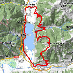
LE 06 | Panorama Tour
stredná
Mountainbike
31,73 km
Naskenujte kód QR a spustite navigáciu v aplikácii bergfex
QR Code
Turistika a stopovanie

LE 06 | Panorama Tour

Vzdialenosť
31,7 km
Trvanie
03:29 h
Ascent
532 hm
Hladina mora
749 - 1 794 m
Stiahnutie skladby
Mapa
LE 06 | Panorama Tour
stredná
Mountainbike
31,73 km

Fotografie našich používateľov

The panoramic view of this tour is truly remarkable. In the North the Leoganger stonemountains and the "Steinernes Meer", in the east the striking Hochkönig, in the south the majestic summit of the Hohen...

Opis

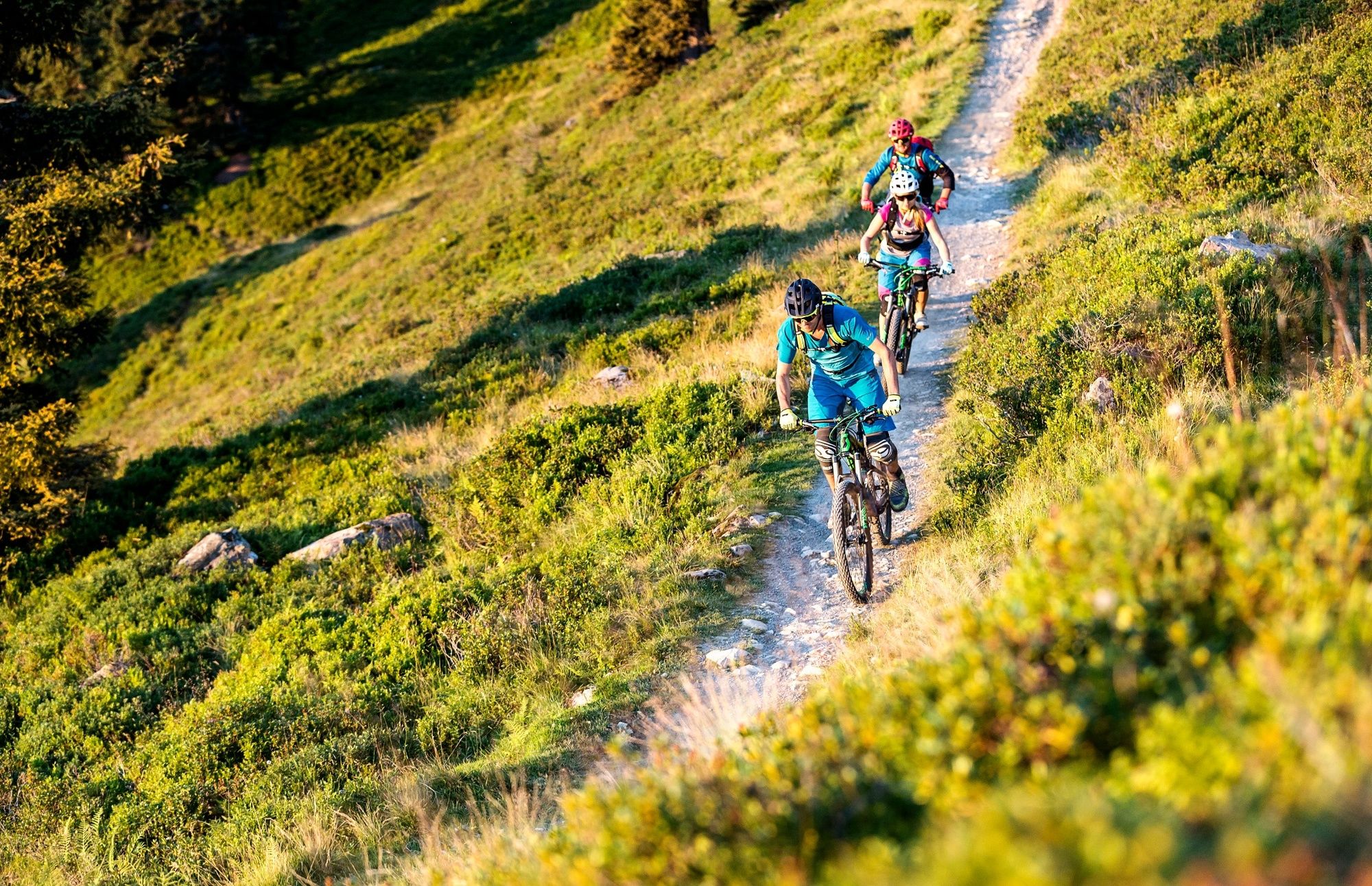
The panoramic view of this tour is truly remarkable. In the North the Leoganger stonemountains and the "Steinernes Meer", in the east the striking Hochkönig, in the south the majestic summit of the Hohen Tauern and in the west the unique mountain range from the Wilden Kaisergebirge.

Trasa
Poltenalm
(1 691 m)
Koridor/terén
2,5 km
Lochalm
(1 680 m)
Koridor/terén
7,4 km
Örgenbaueralm
(1 335 m)
Koridor/terén
13,8 km
Berggasthof Biberg
(1 427 m)
Úkryt
17,9 km
Sinning
(775 m)
Dedina
26,6 km
Rosental
(781 m)
Dedina
27,6 km
Leogang
(788 m)
Dedina
28,4 km
Trasa
Mapa
LE 06 | Panorama Tour
stredná
Mountainbike
31,73 km
Alte Schmiede
(1 757 m)
Reštaurácia
0,1 km
Poltenalm
(1 691 m)
Koridor/terén
2,5 km
Lochalm
(1 680 m)
Koridor/terén
7,4 km
Gstallneralm
(1 516 m)
Koridor/terén
11,1 km
Örgenbauernalm
(1 318 m)
Reštaurácia
13,8 km
Örgenbaueralm
(1 335 m)
Koridor/terén
13,8 km
Berggasthof Biberg
(1 427 m)
Úkryt
17,9 km
Otting
(751 m)
Zúčtovanie
26,1 km
Sinning
(775 m)
Dedina
26,6 km
Rosental
(781 m)
Dedina
27,6 km
Leogang
(788 m)
Dedina
28,4 km
Informácie o prehliadke

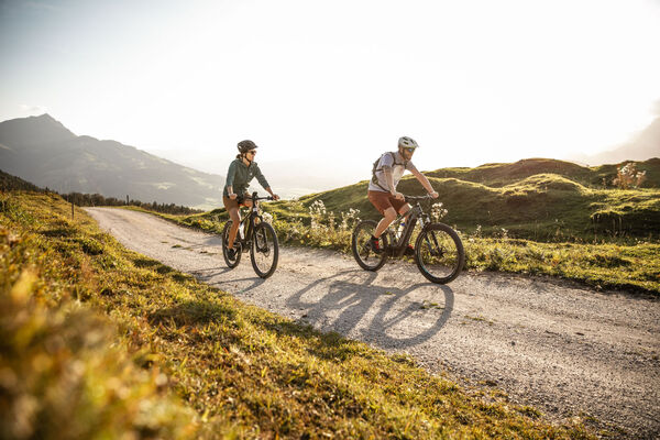
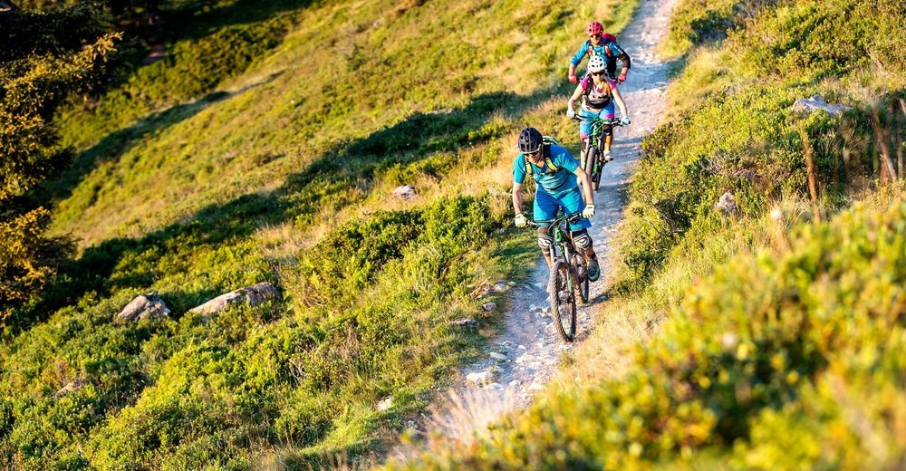
Panoramic MTB tour with fantastic views of five mountain ranges!

Technológia
n.a.
Stav
3 / 6
Krajina
6 / 6
Skúsenosti
4 / 6
Zdieľať prehliadku
Mapa
LE 06 | Panorama Tour
stredná
Mountainbike
31,73 km
Chyba
Vyskytla sa chyba. Prosím, skúste to znova.
Naposledy sledované Pred 5 dňami
Informácie o trase
Trasa

The tour starts with a trip on the cable car (Leogang) up to the Asitz mountain station (lift pass required!) After the Asitztrail to the Schönleitenhütte, the route follows uphill and downhill sections past the Jahnhütte and Örgenbauernalm and on to the Berggasthof Biberg. Here you can enjoy magnificent panoramic views from one of the region's most beautiful vantage points and savour some culinary treats before tackling the descent down to Leogang. The last few kilometres back to the starting point follow comfortable terrain.

Gondola/kára

Áno

Informácie o príchode
Verejná doprava
BY TRAIN

Take the train and start to enjoy your vacation as soon as you leave home. Relax and enjoy the view as you travel to Saalfelden Leogang with no traffic to slow you down. Visit the website of the Austrian railway (ÖBB) for schedules and tickets to Leogang station: www.oebb.at (route to the starting point approx. 10 minutes)

Oceňovanie
4,6
5
(5)
4
(3)
3
(0)
2
(0)
1
(0)
2 Komentáre
Avatar z Heinrich Slesak
Heinrich Slesak
25. okt. 2024
Super
Eine der schönsten Panoramatouren überhaupt💥
Užitočné (0) |
Správa
Chyba
Vyskytla sa chyba. Prosím, skúste to znova.
Avatar z Gregor RESCH
Gregor RESCH
19. máj. 2024
Coole Panorama Runde, noch viel Schnee
EBike hat nicht funktioniert 🥵 Oben noch sehr viel Schnee, Mega anstrengend zu schieben!
Napíšte recenziu

Recenzie pomáhajú ostatným používateľom vybrať si ďalšie dobrodružstvo. Prosím, hodnoťte len prehliadku, nie počasie alebo občerstvenie.

Vyberte jednu z hviezdičiek a ohodnoťte prehliadku
Zlé turné
Slabé turné
Priemerné turné
Dobrá prehliadka
Vynikajúca prehliadka
Turistika a stopovanie

Turistika a stopovanie

Turistika a stopovanie
Viac ako 550.000 návrhov výletov, podrobné mapy a intuitívny plánovač trás robia z aplikácie povinnú výbavu pre všetkých nadšencov prírody.
bergfex