






Around the Reiter Alpe

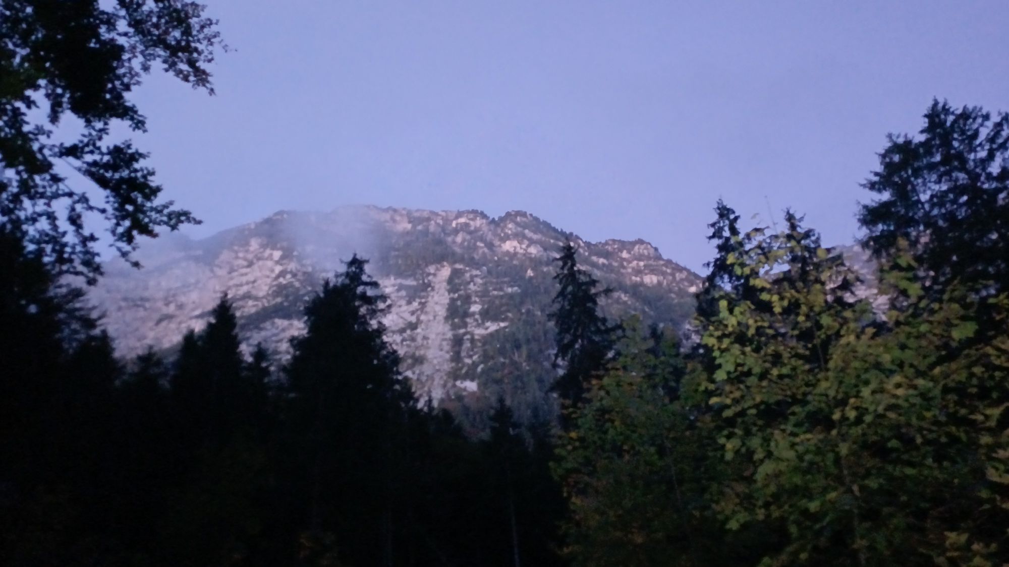
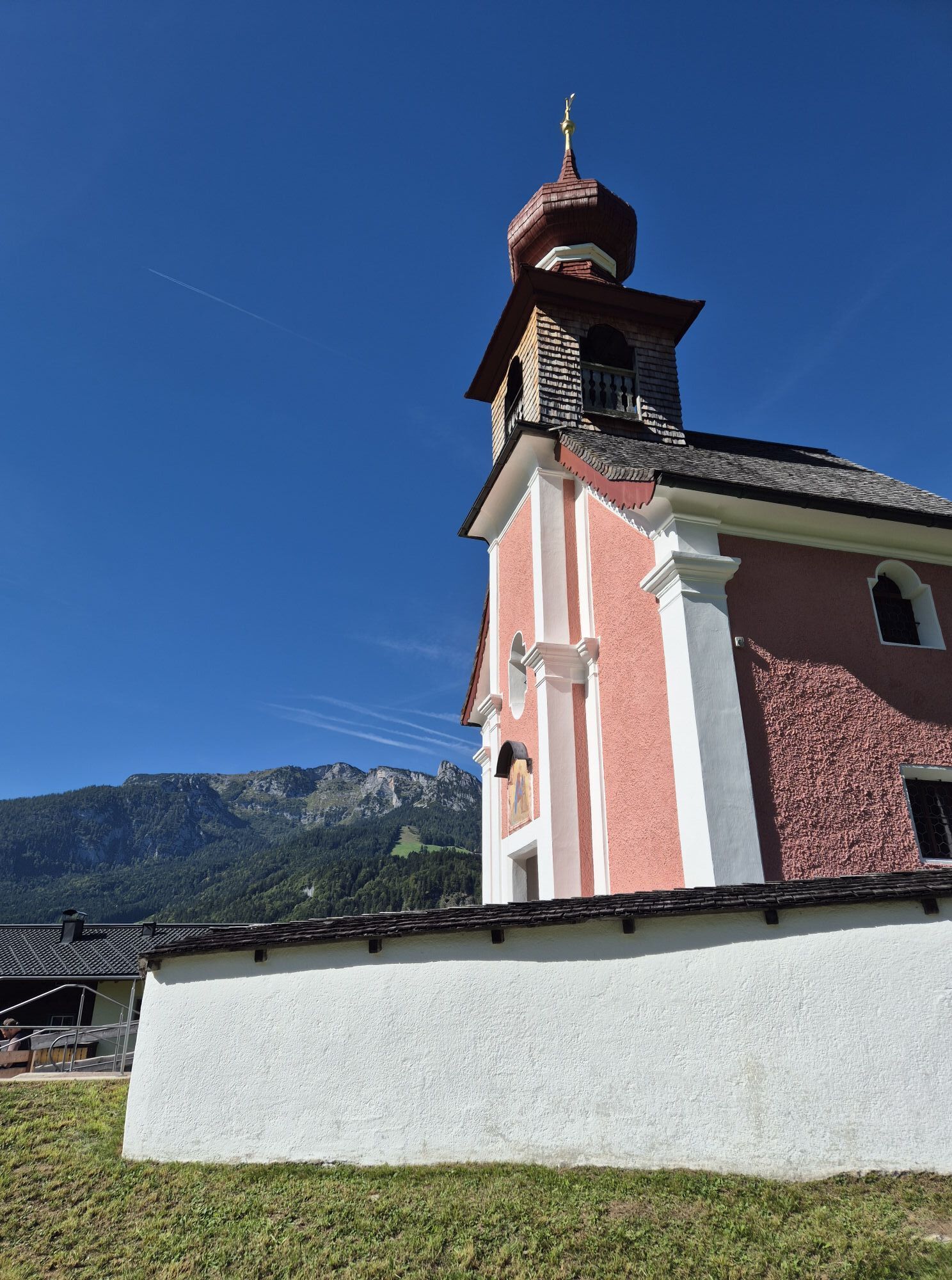
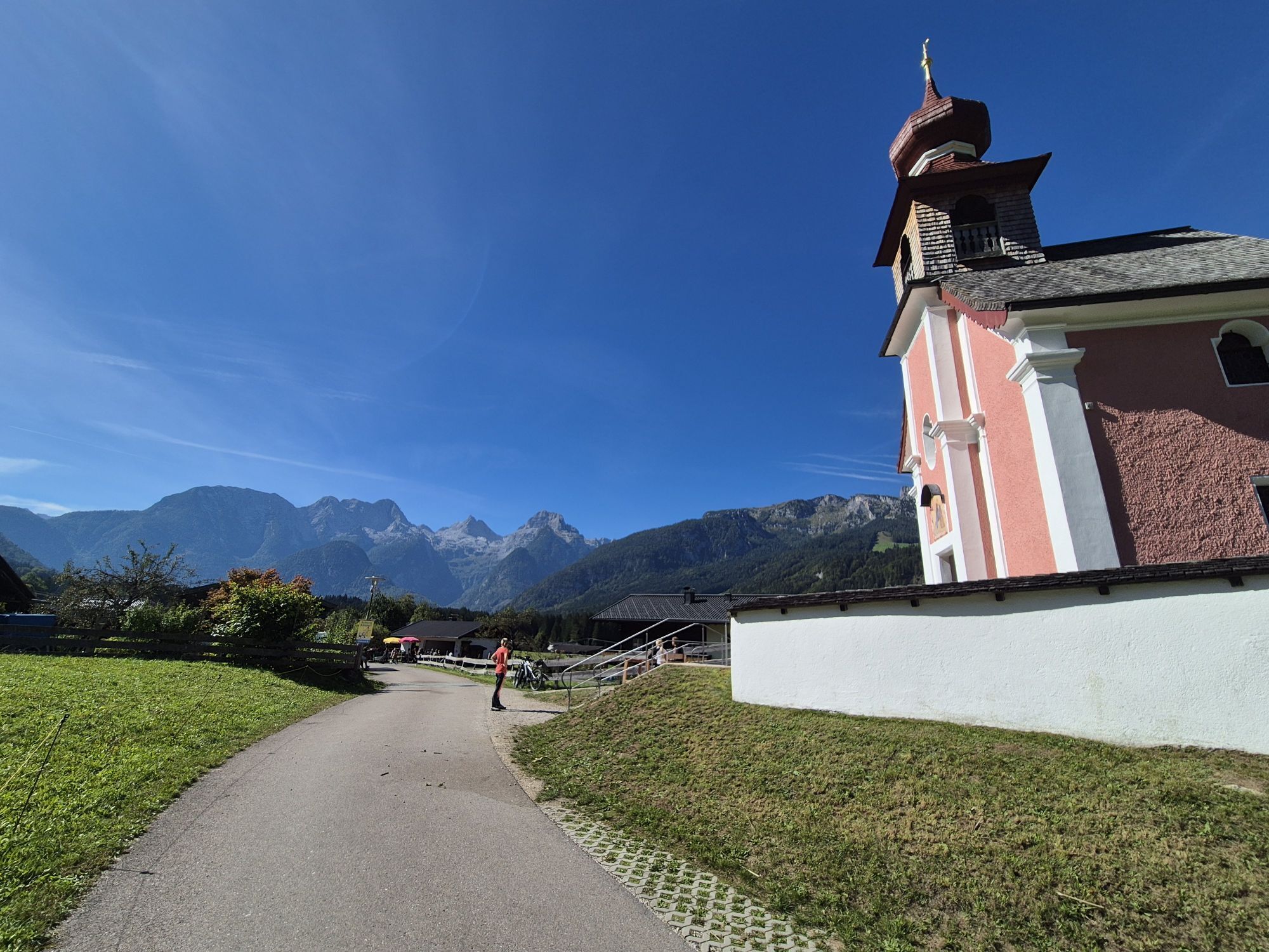
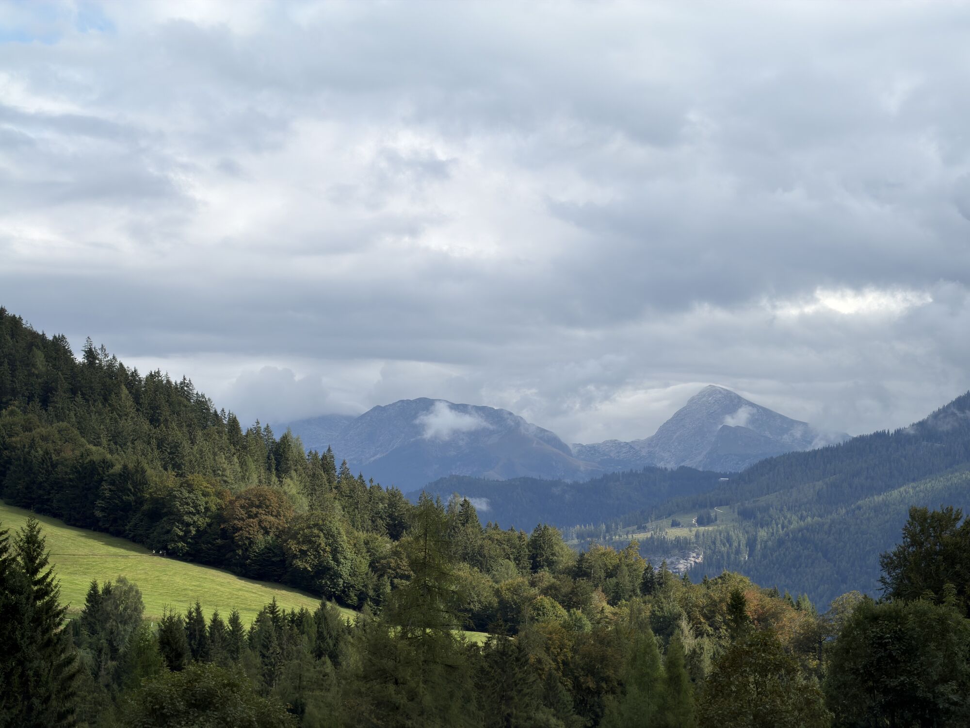
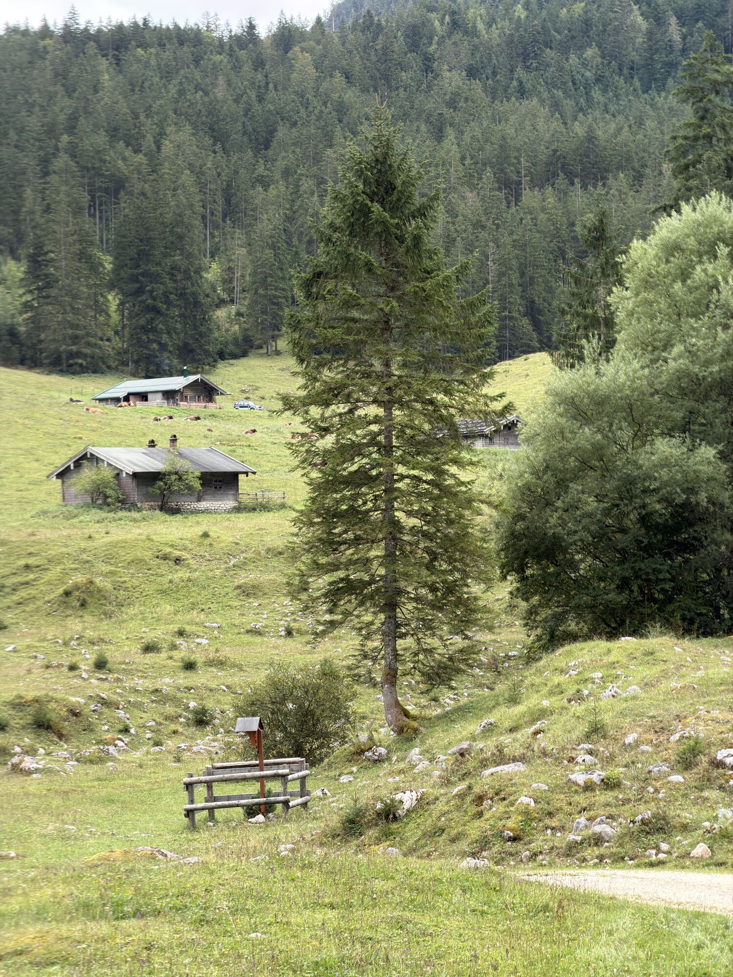
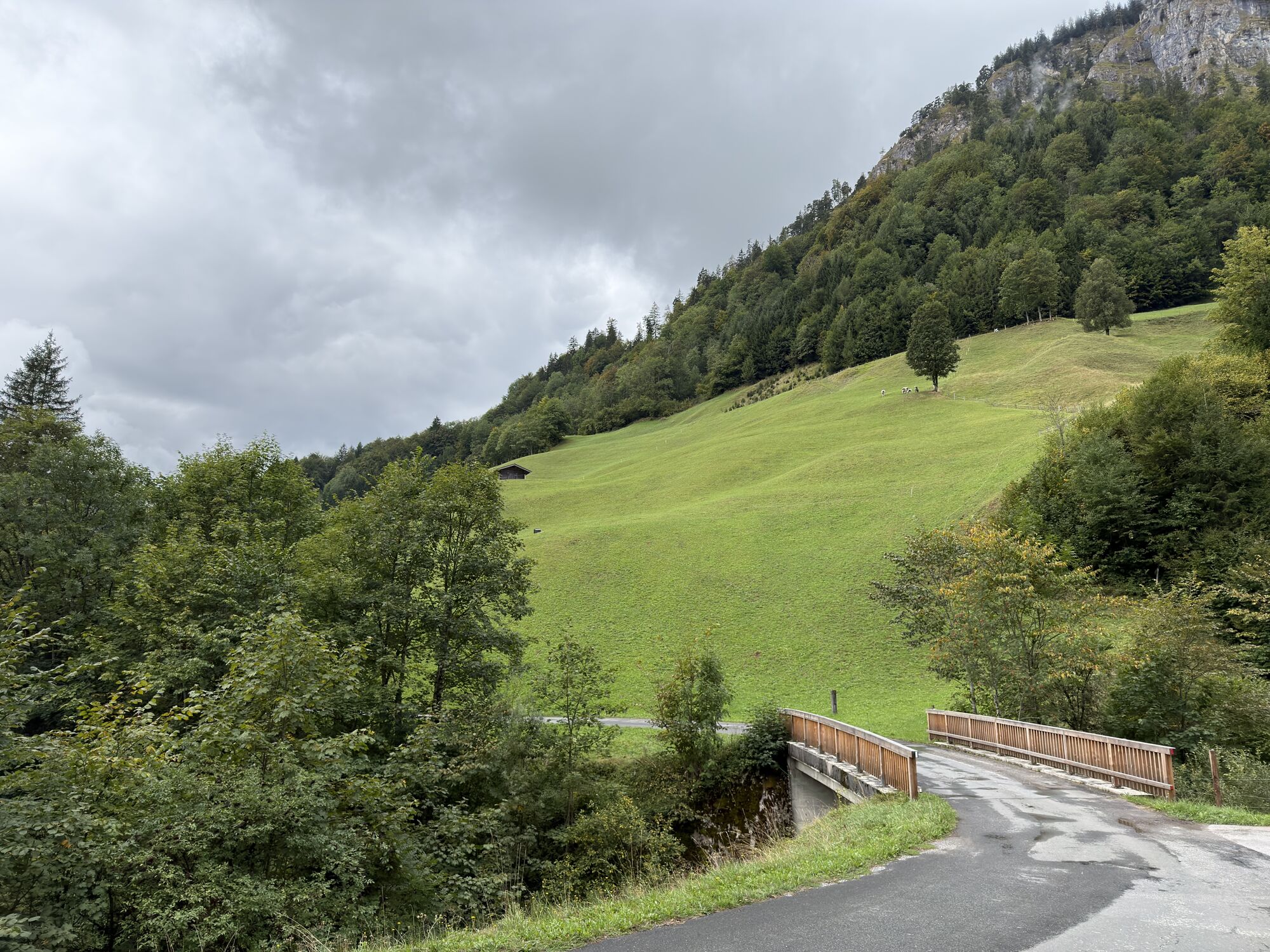
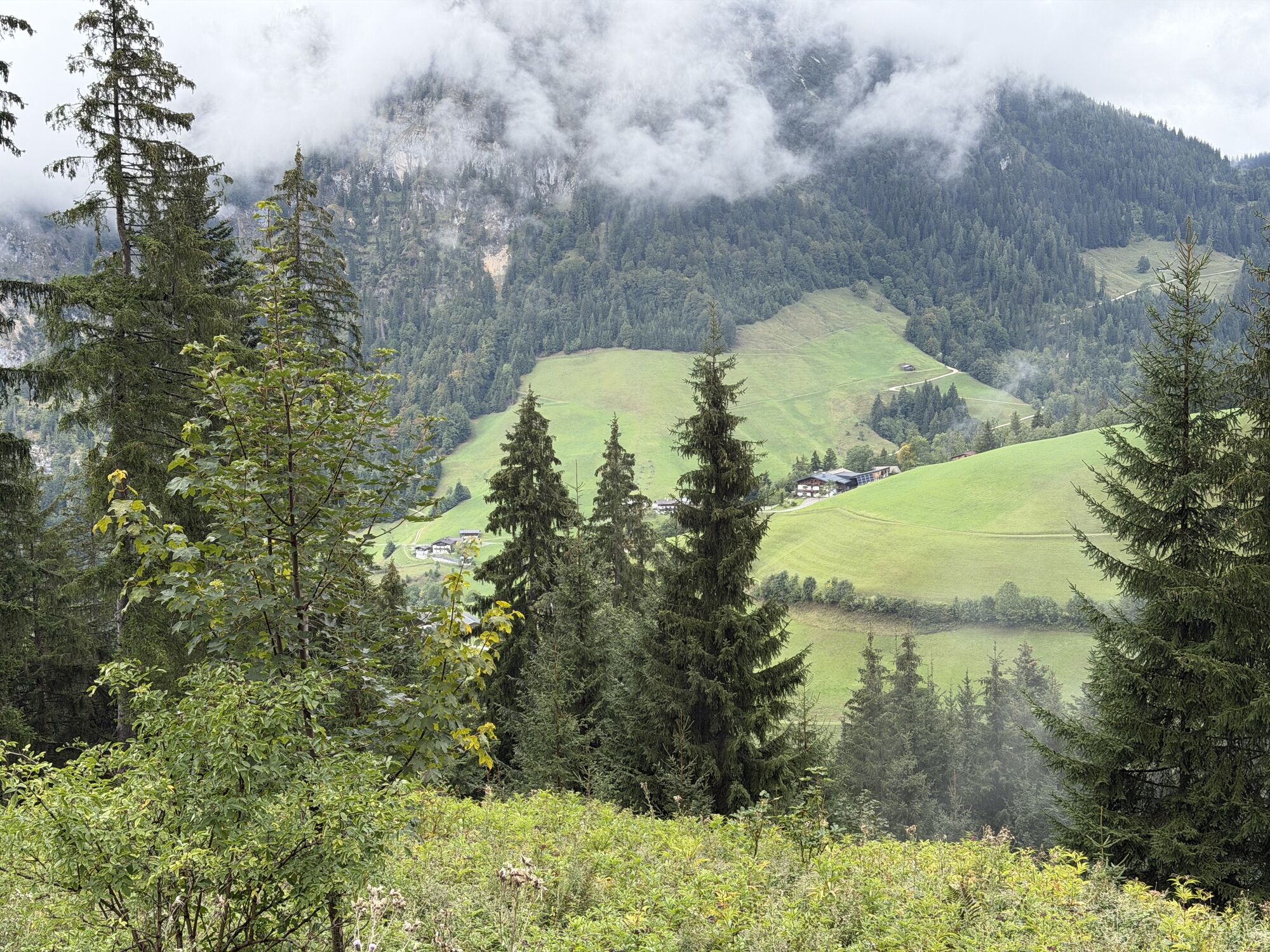
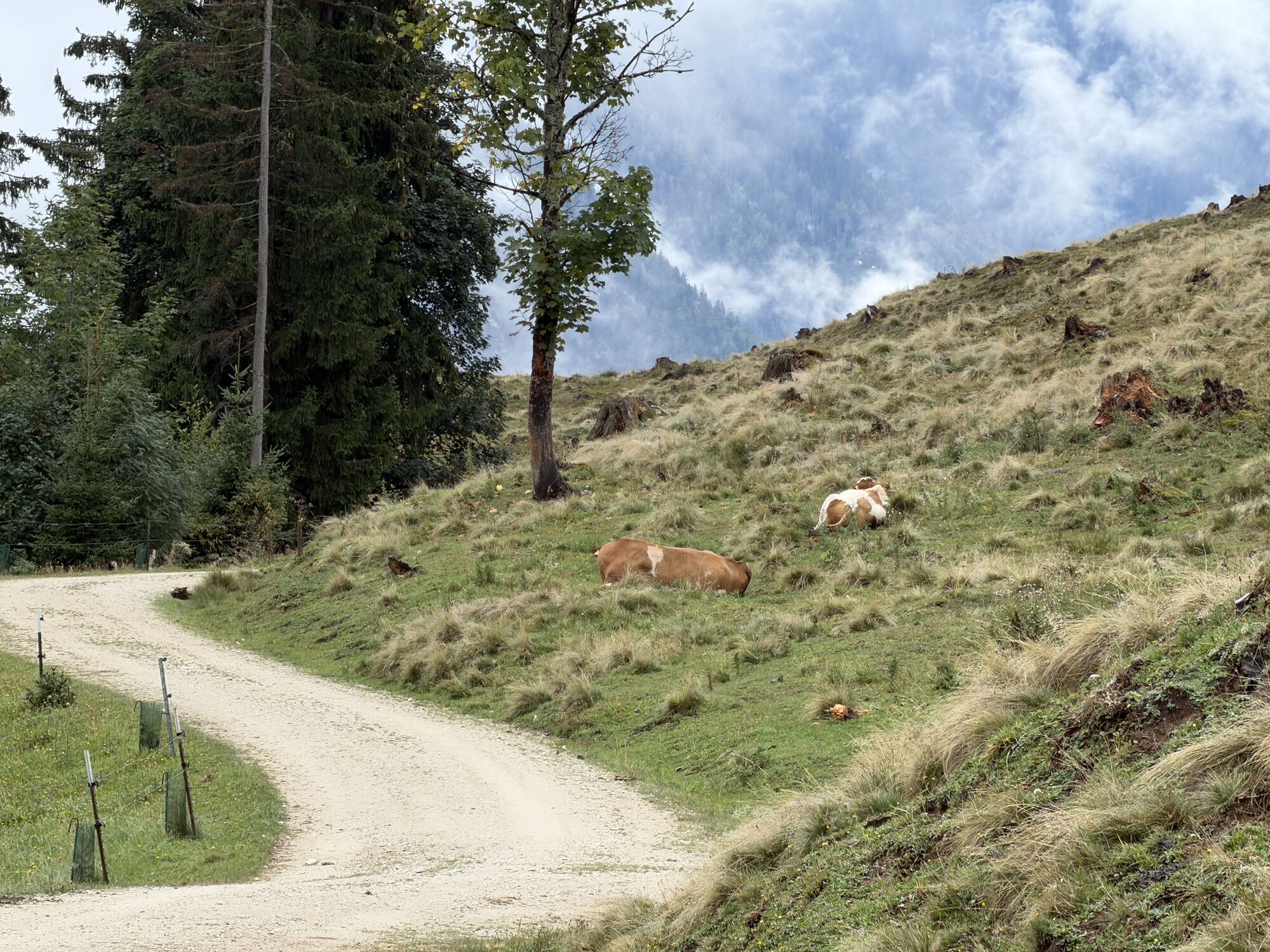
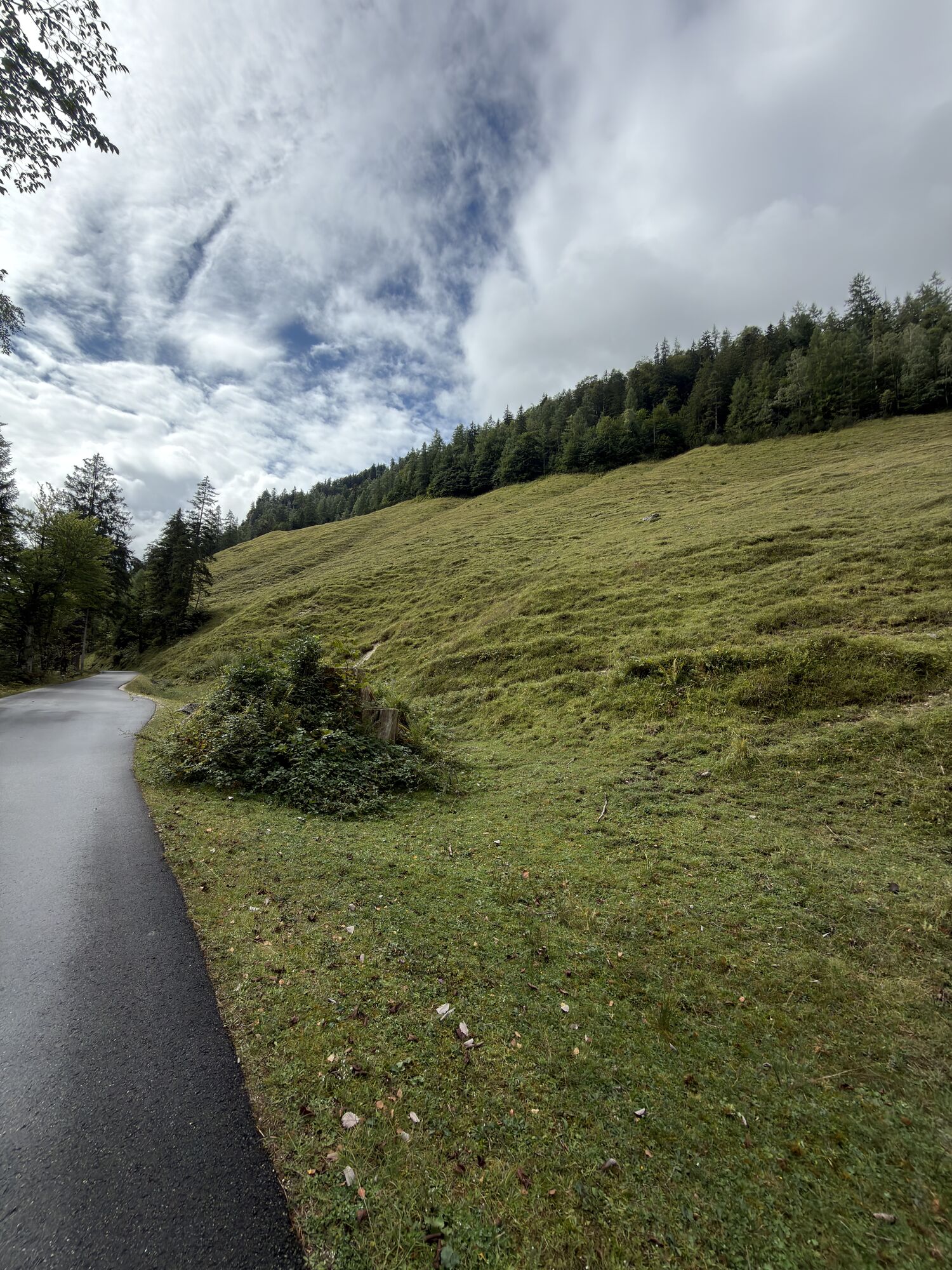
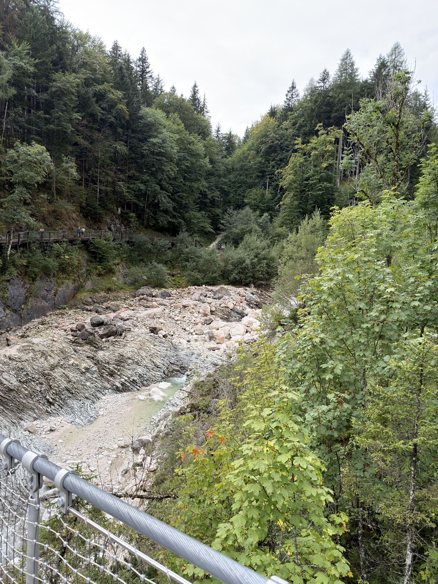
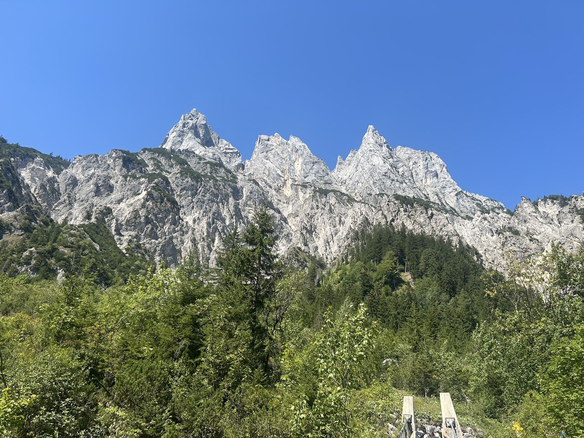
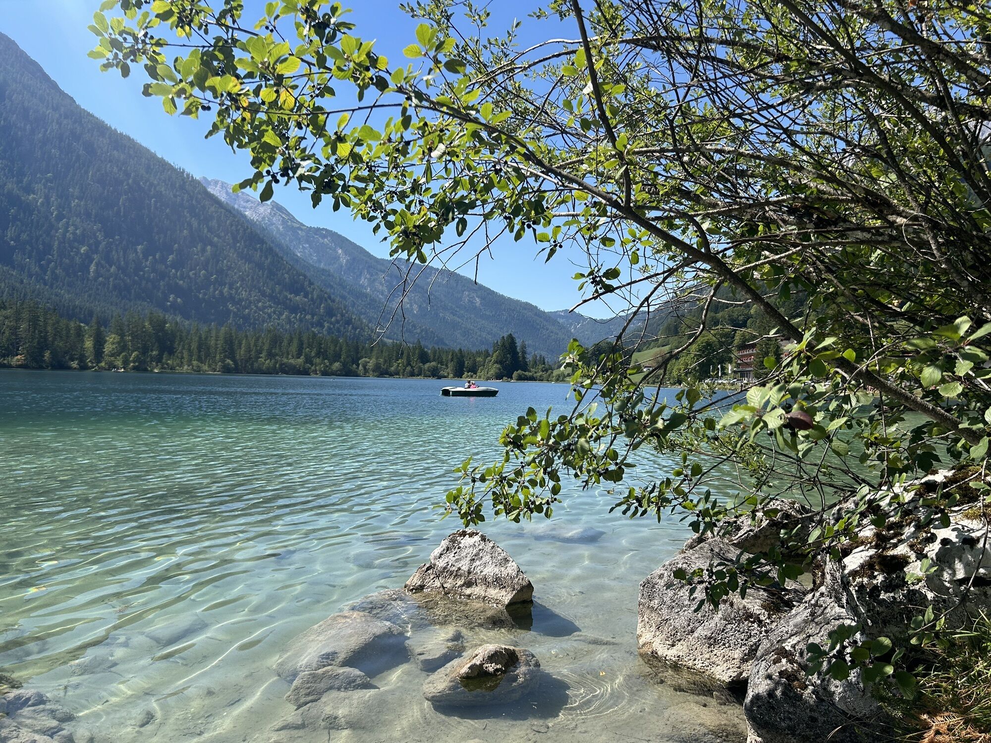
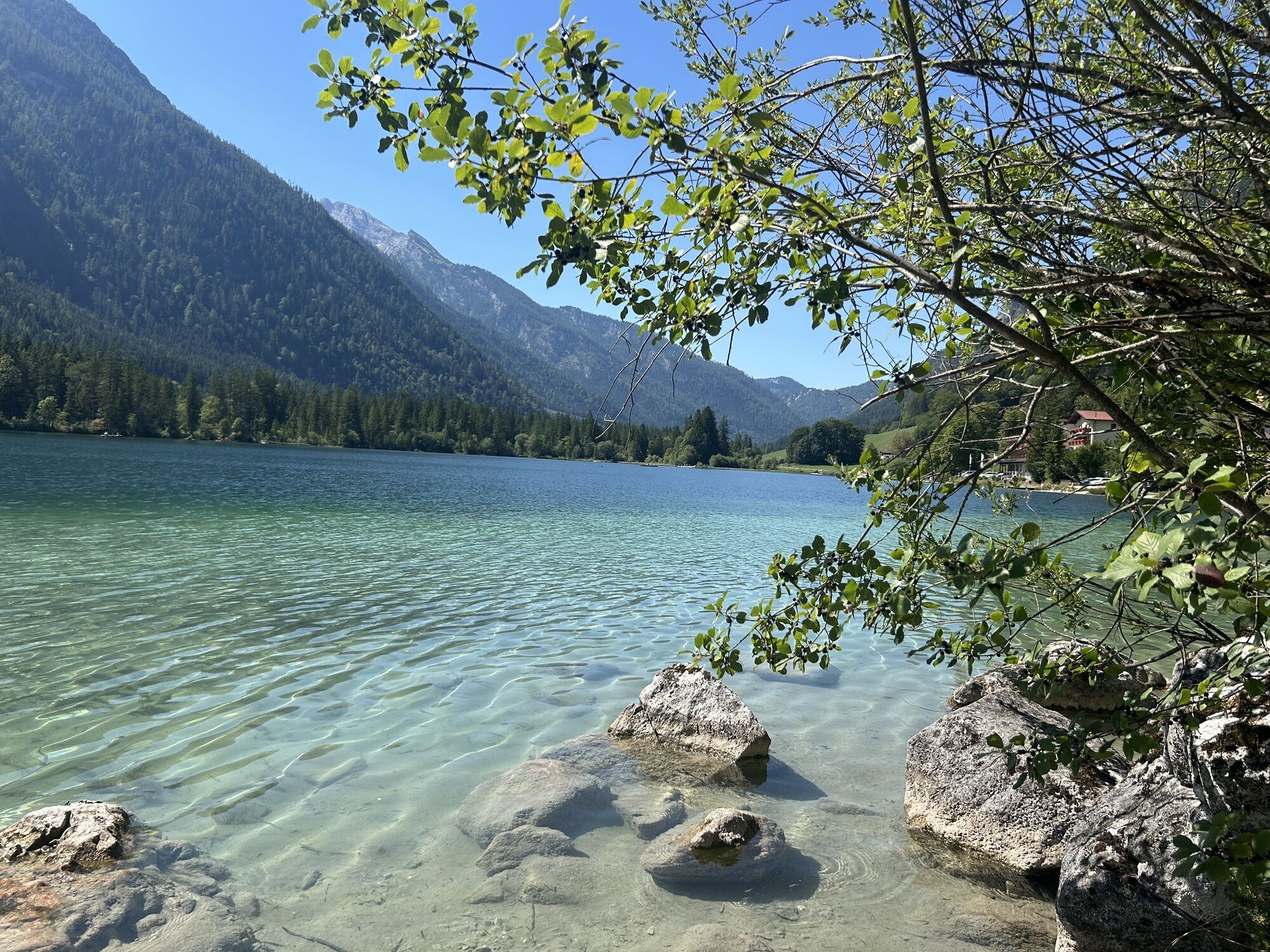
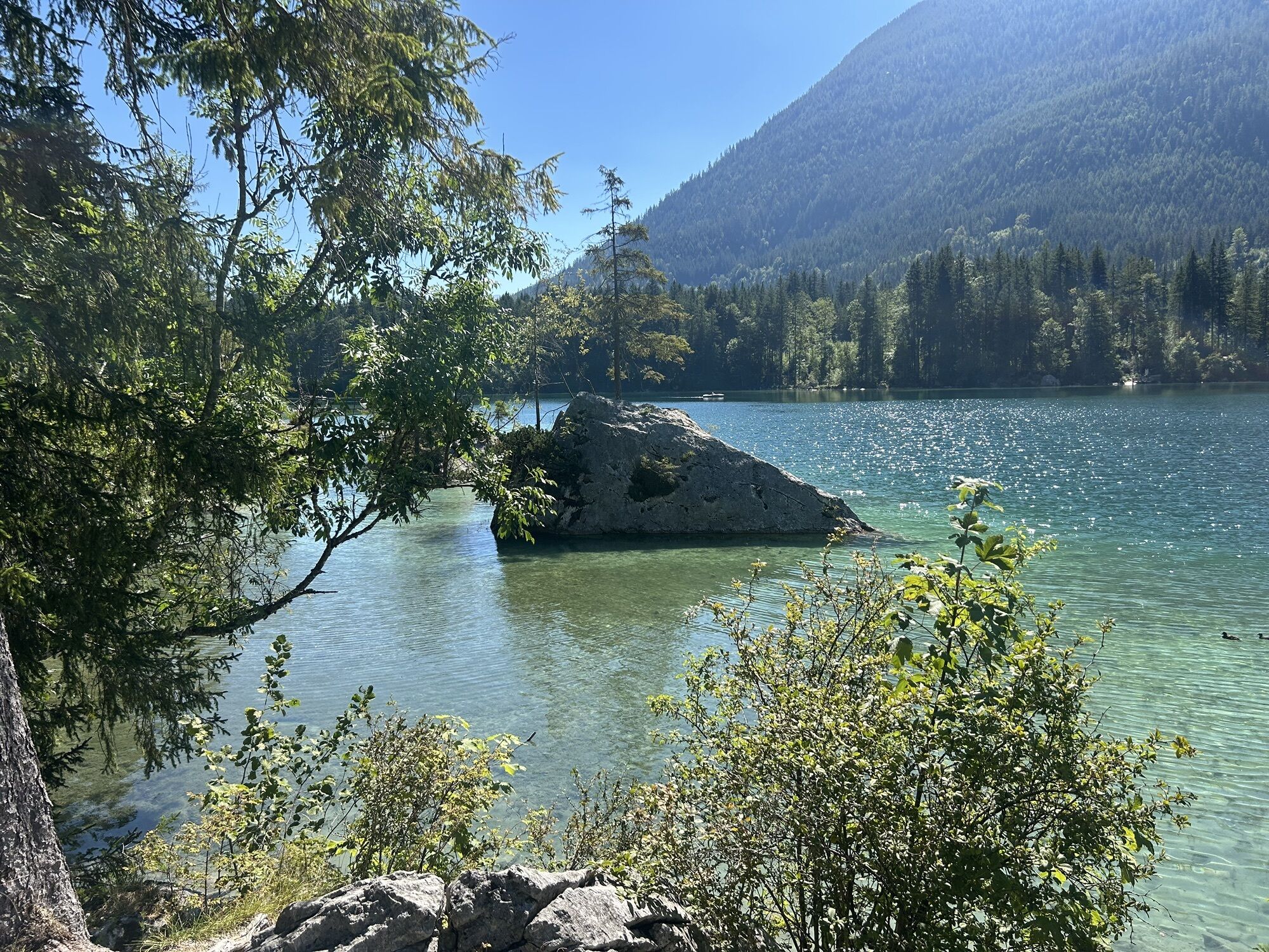
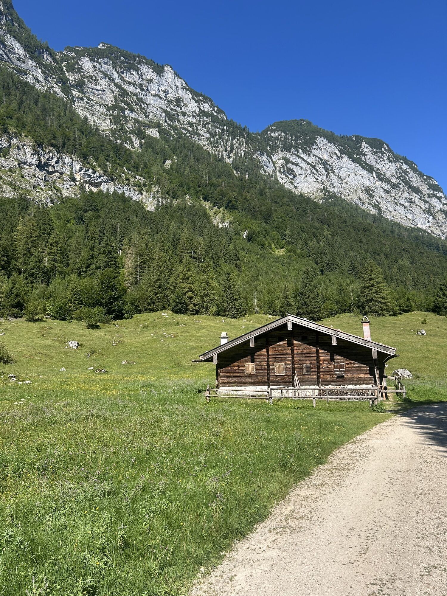
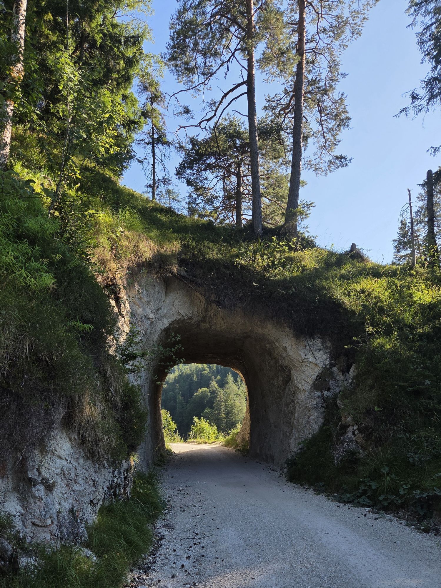
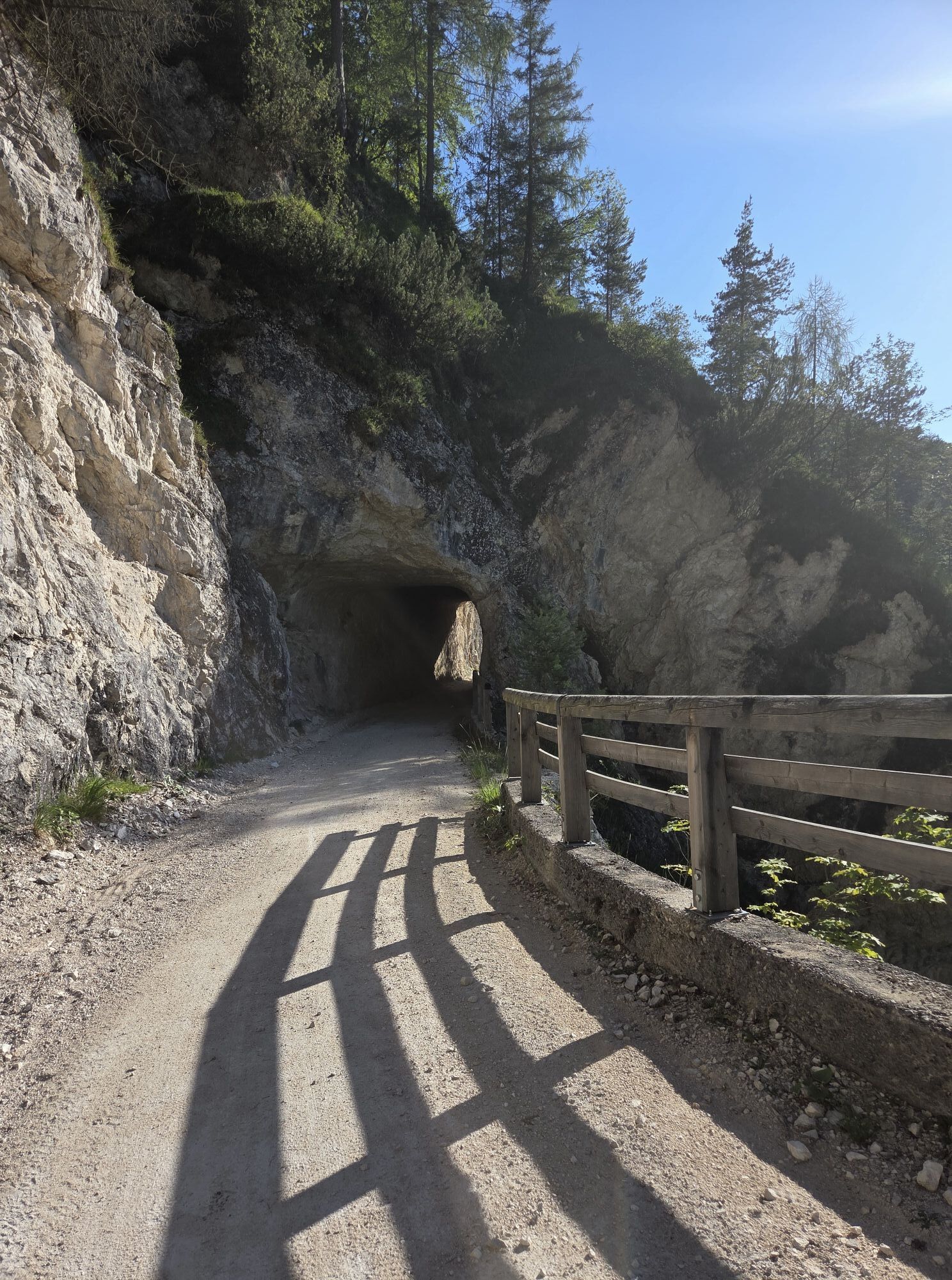
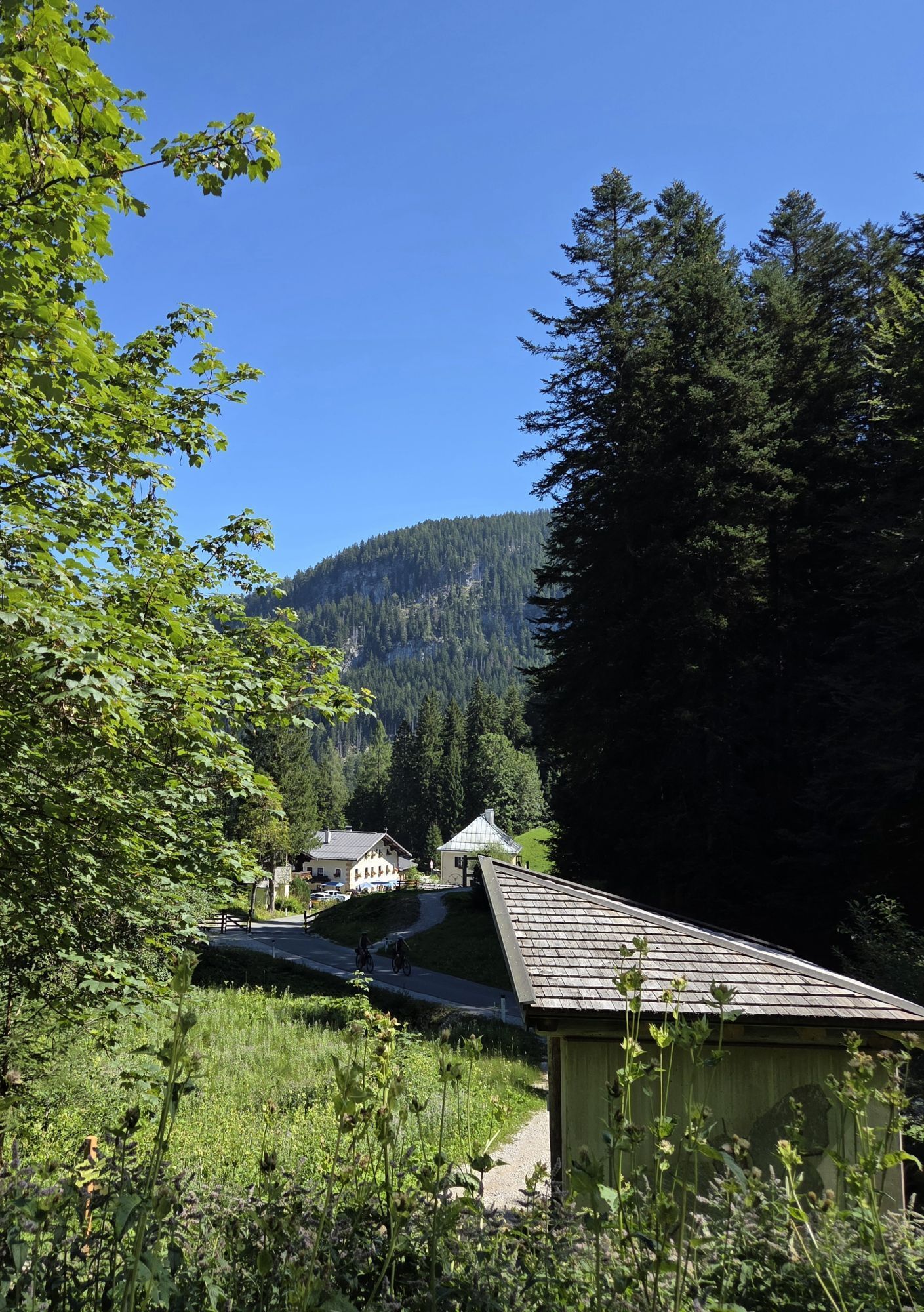
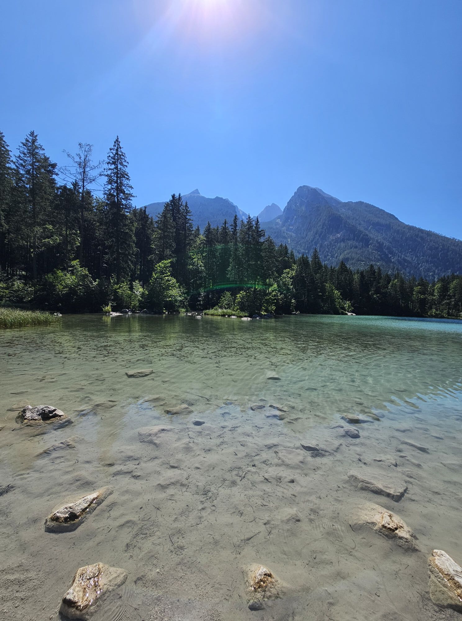
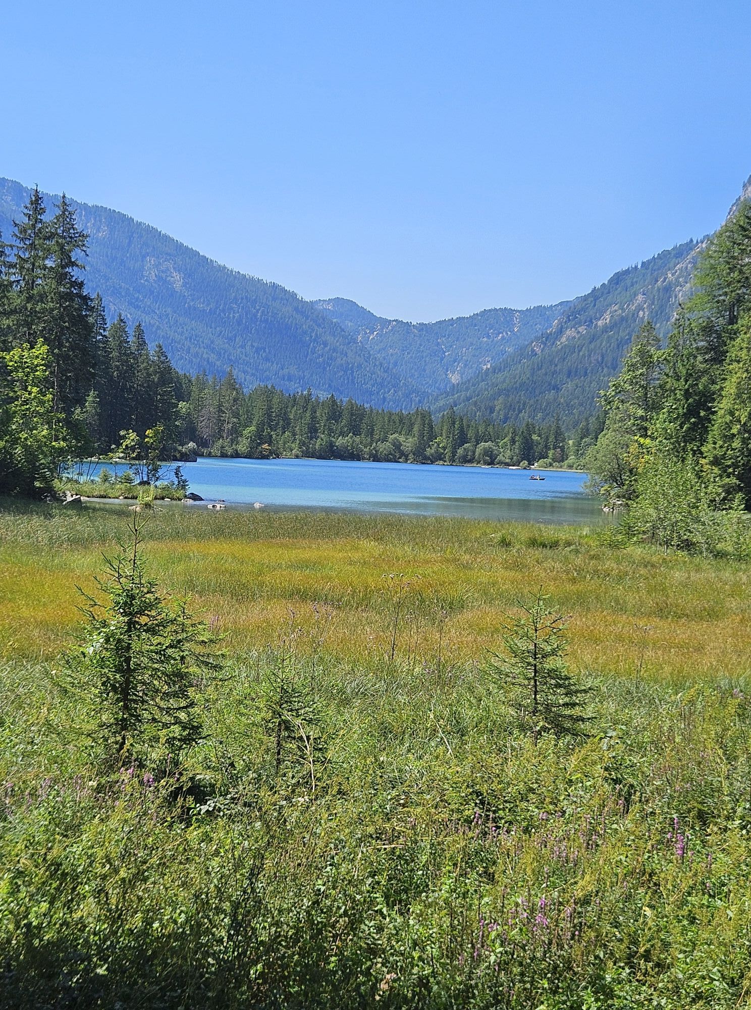
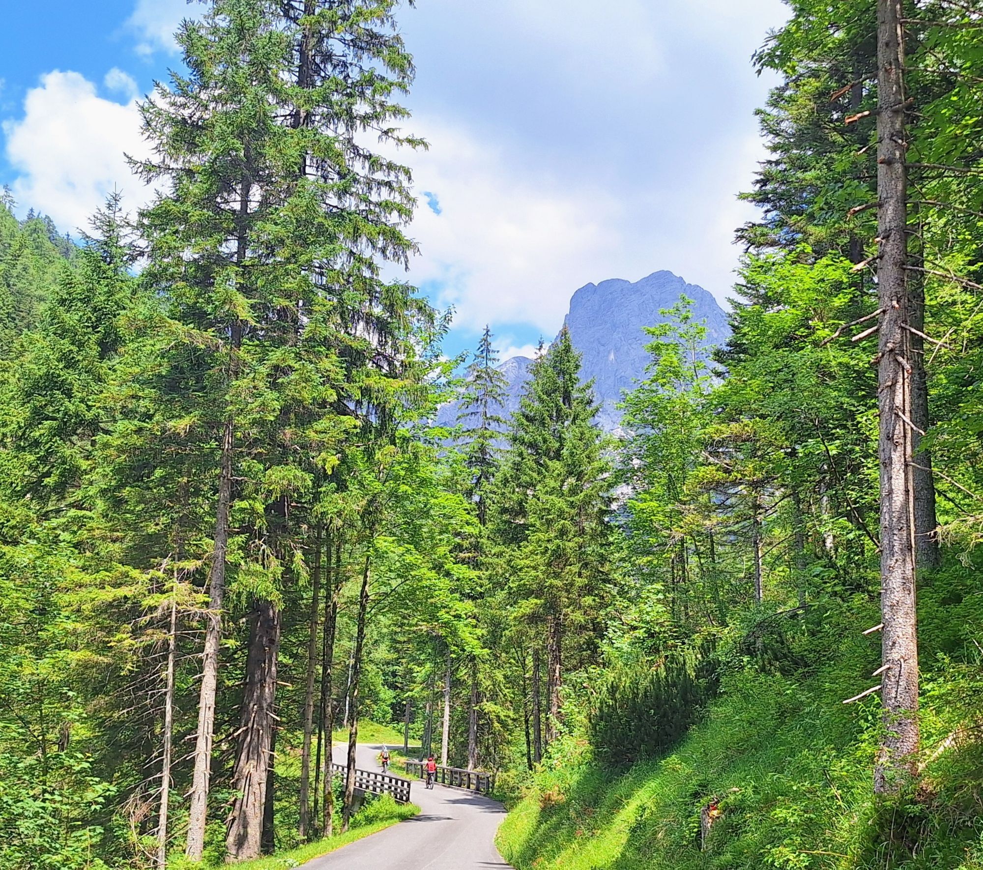
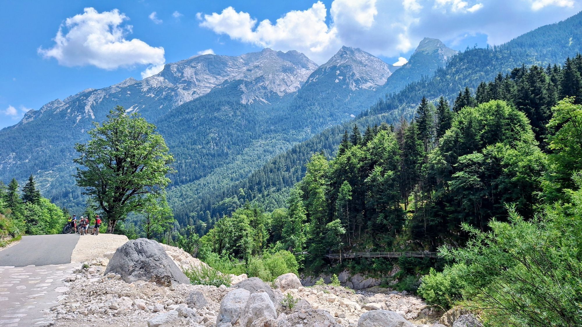
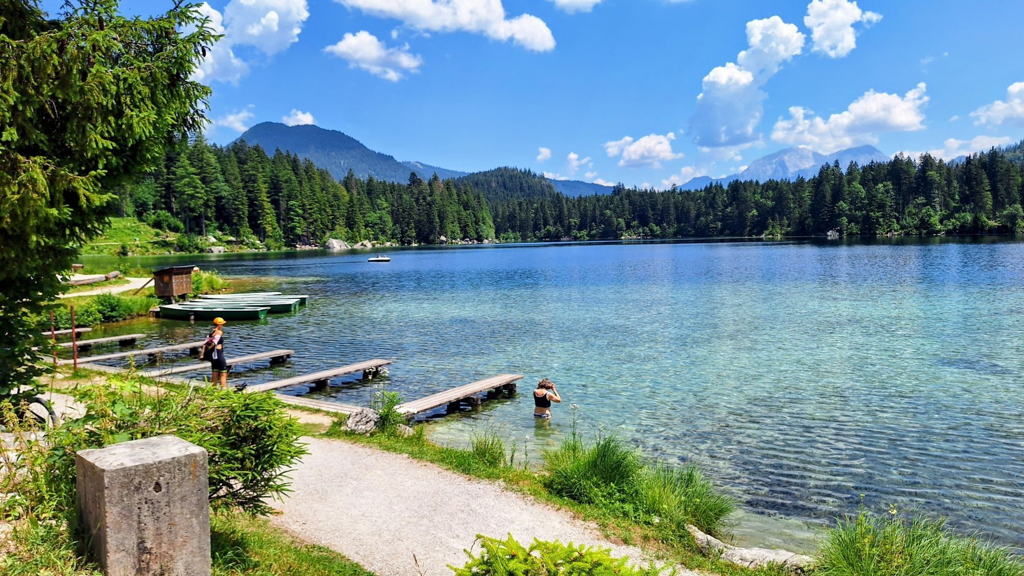
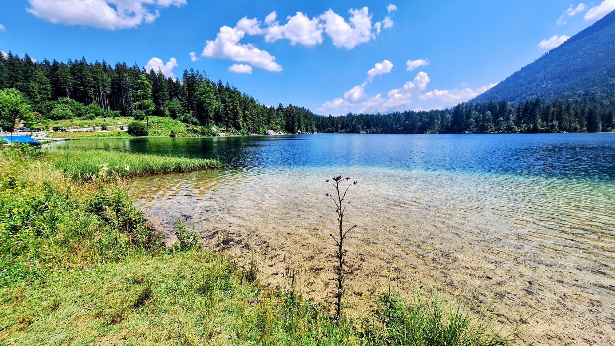
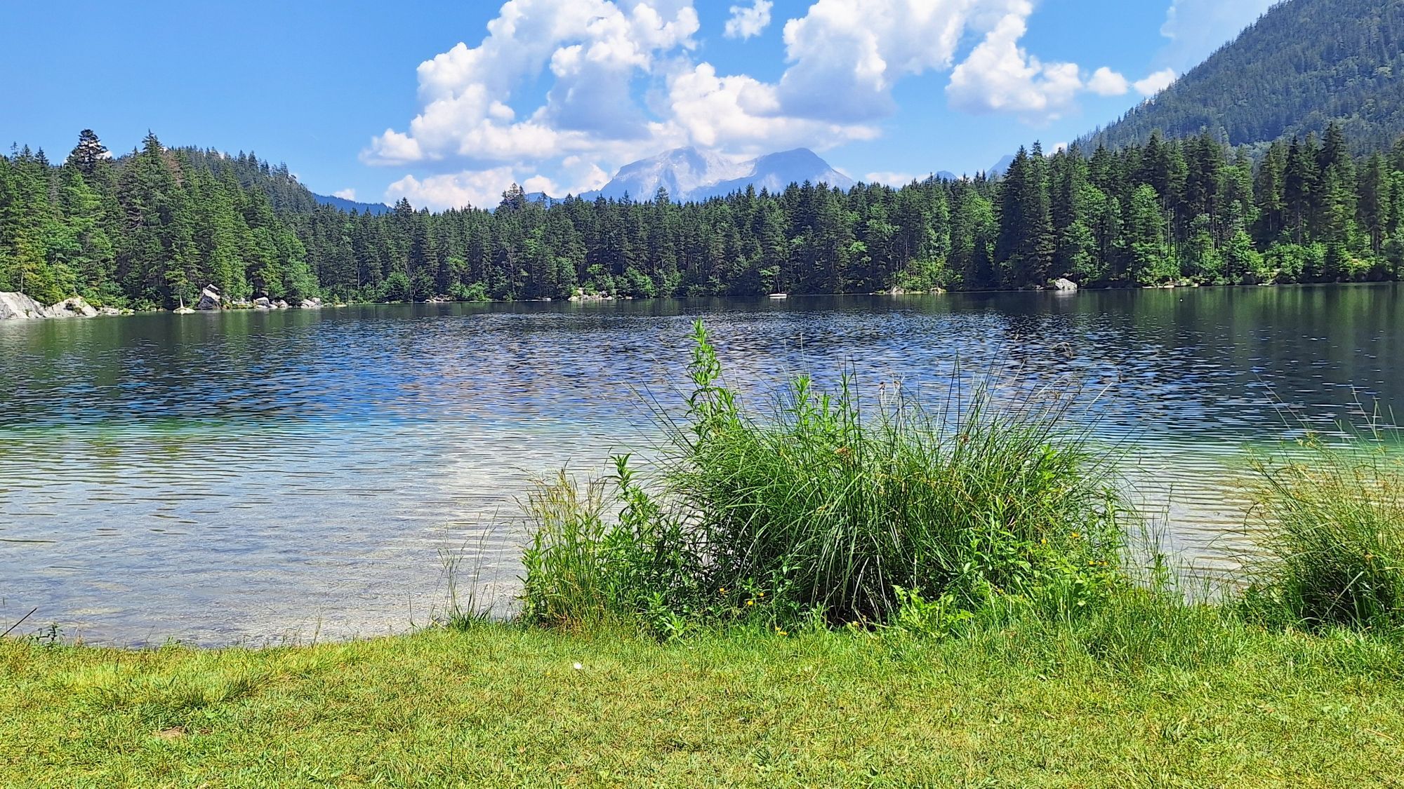
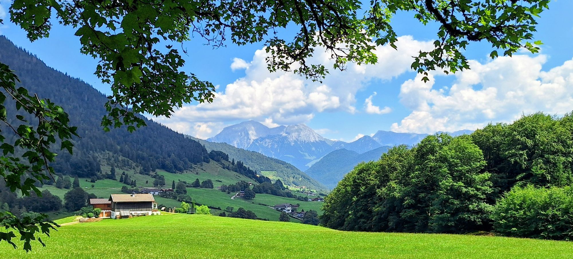
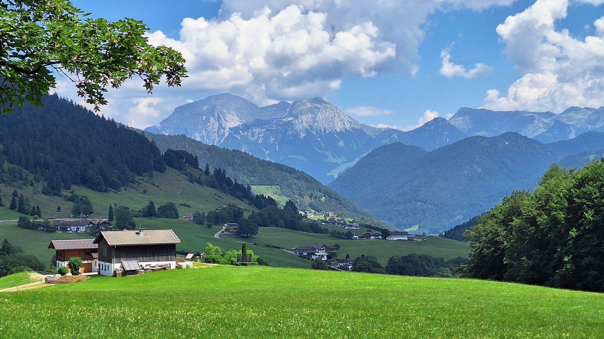
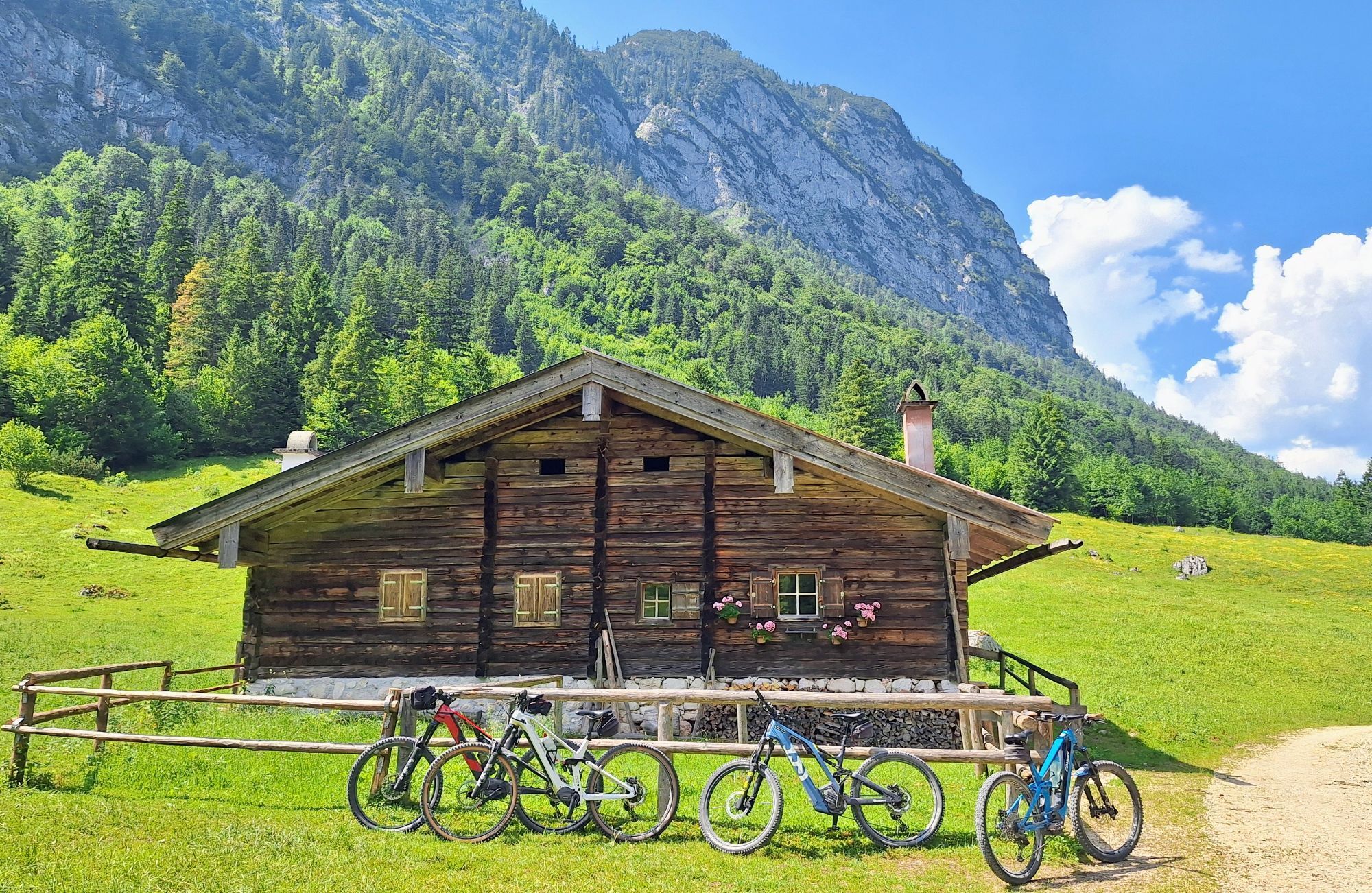
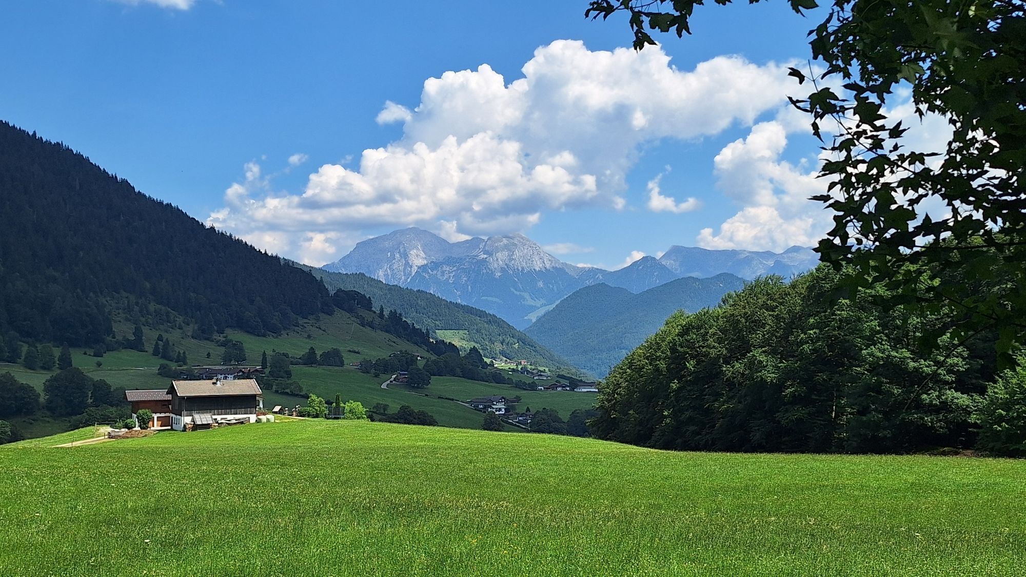
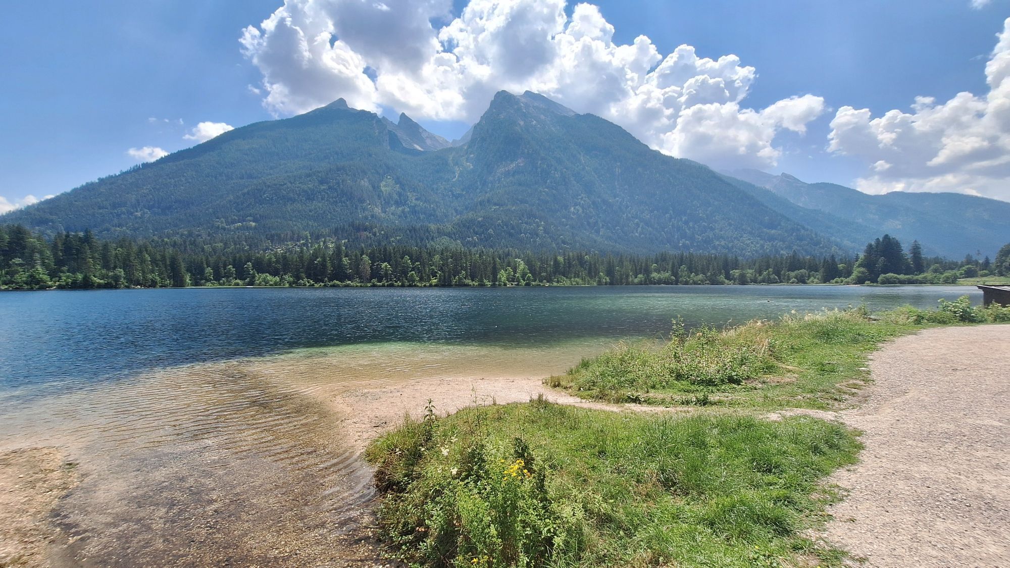
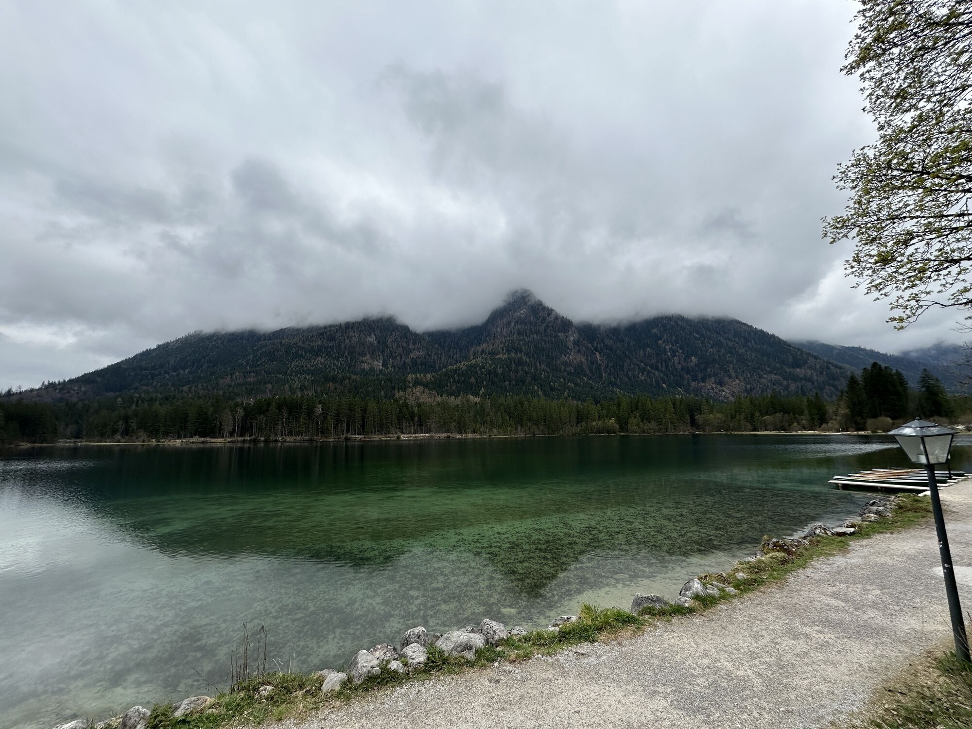

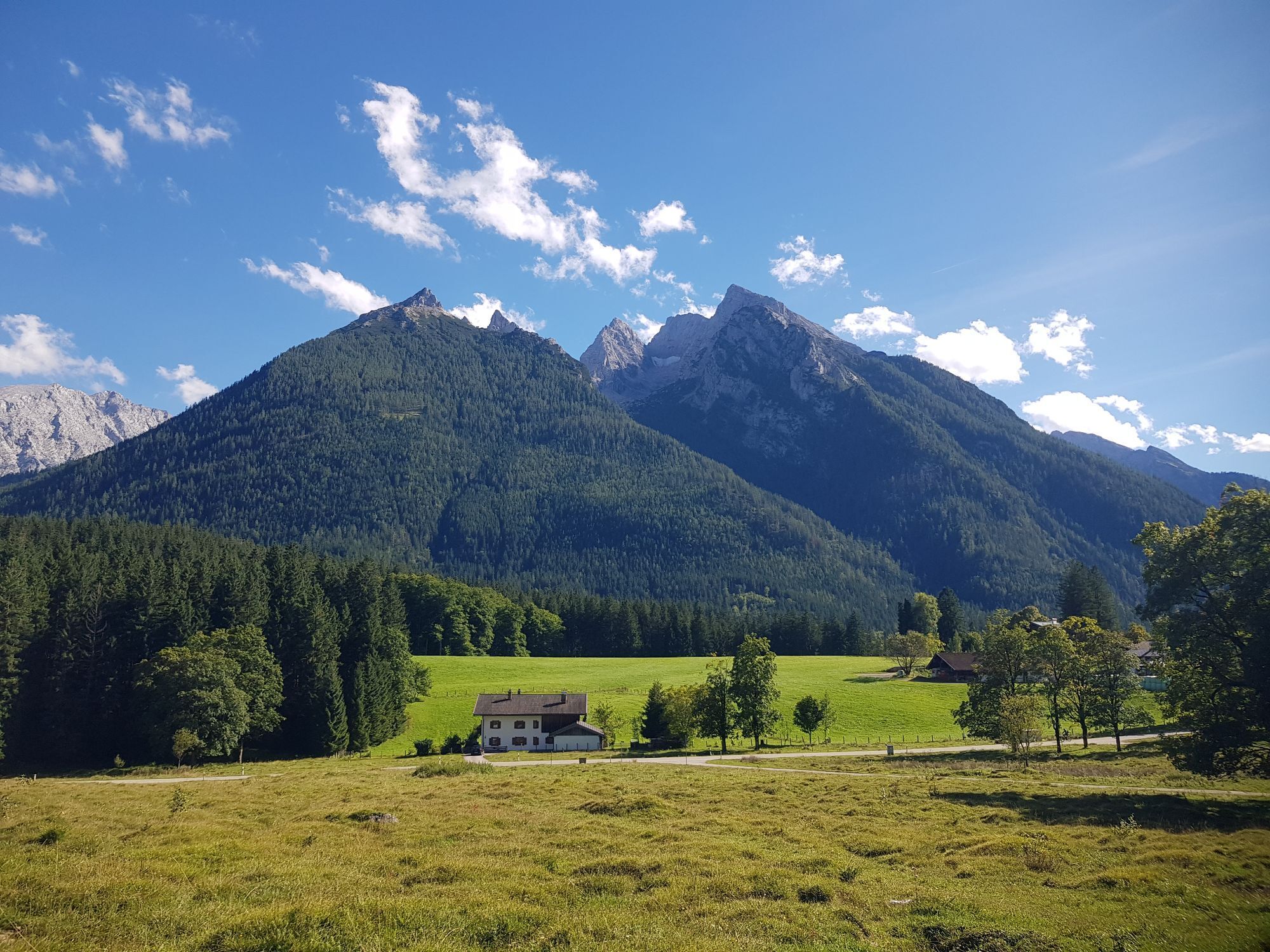
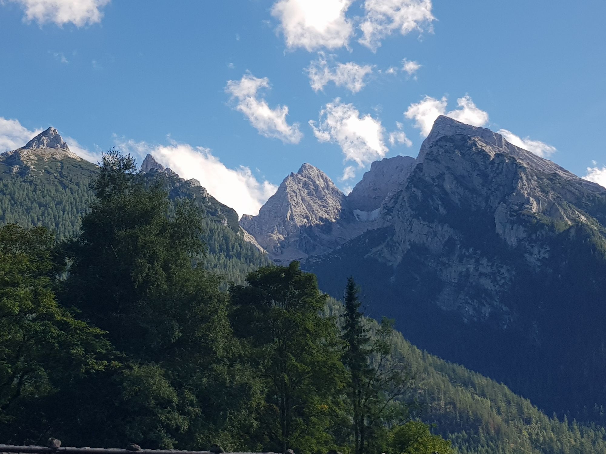
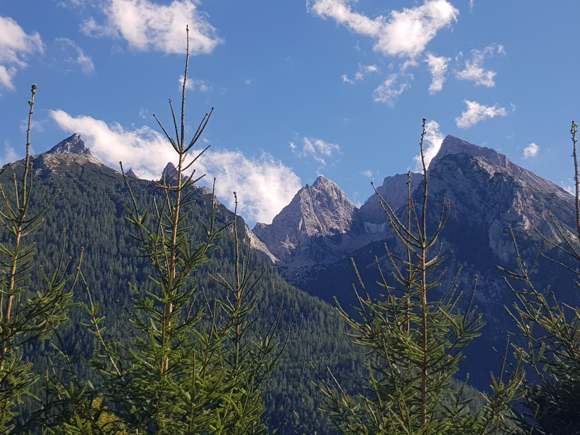
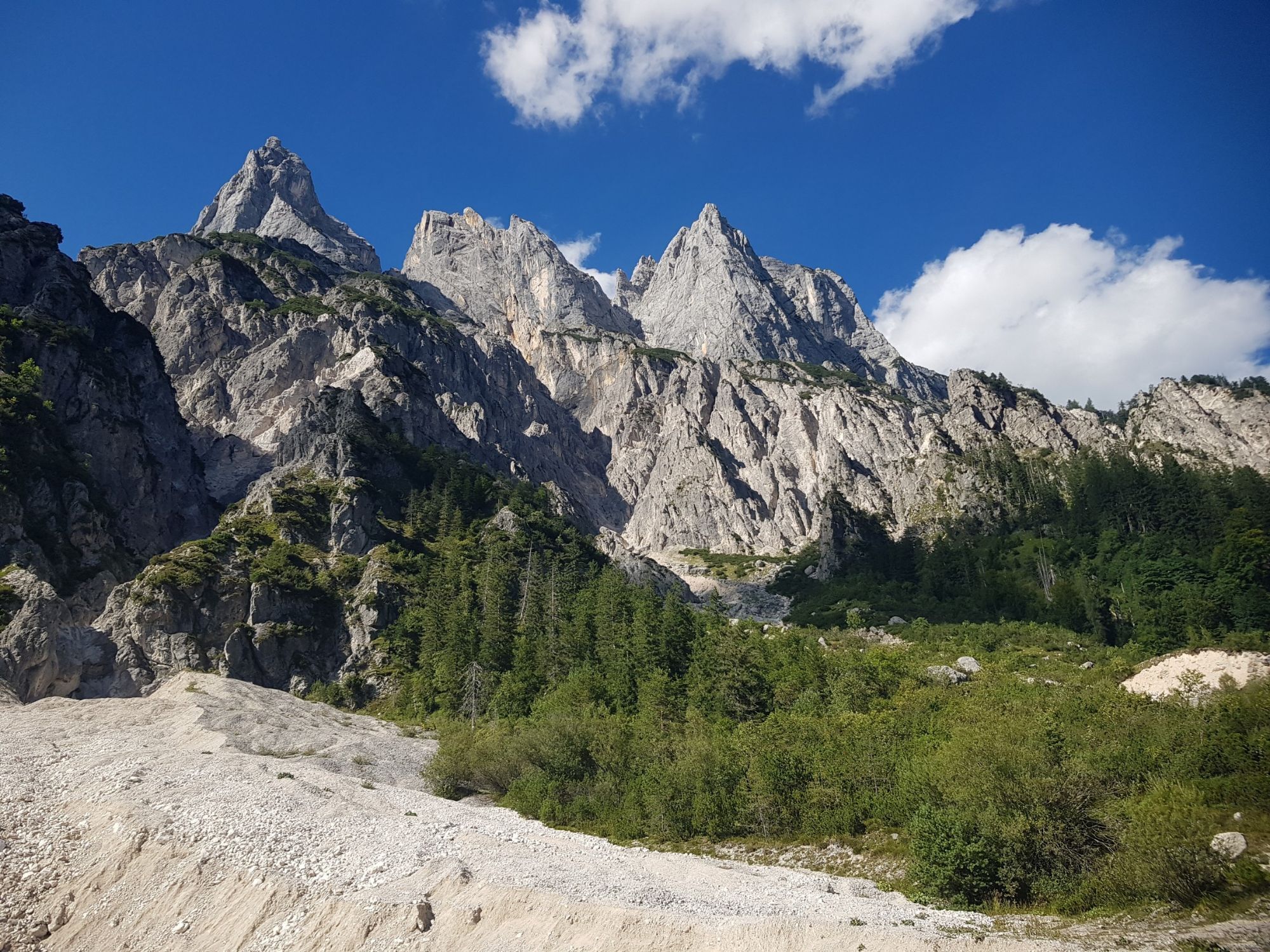
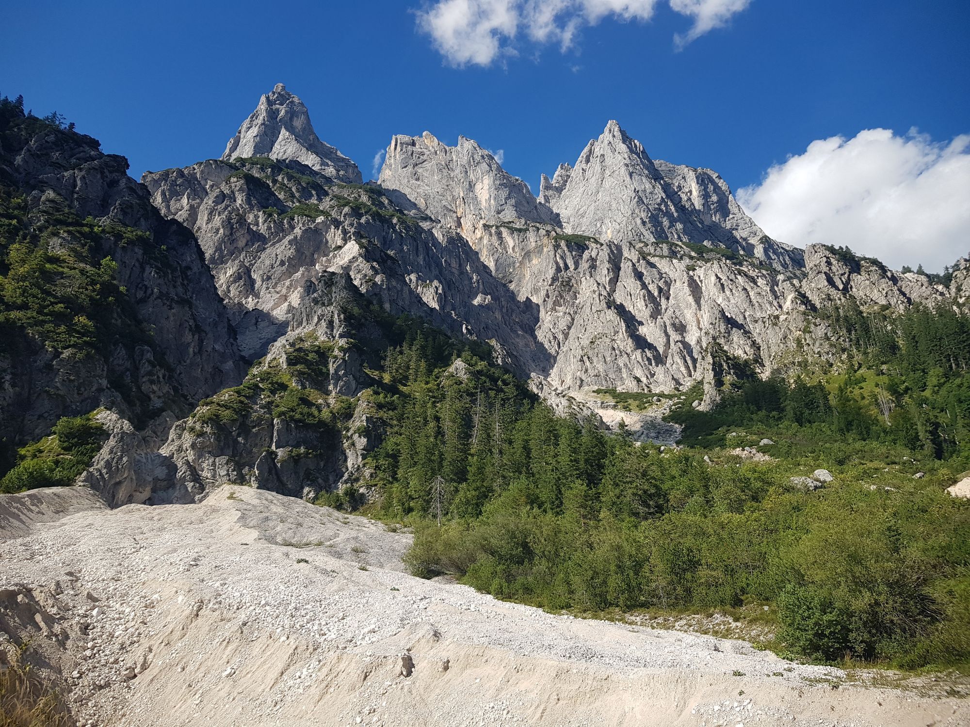
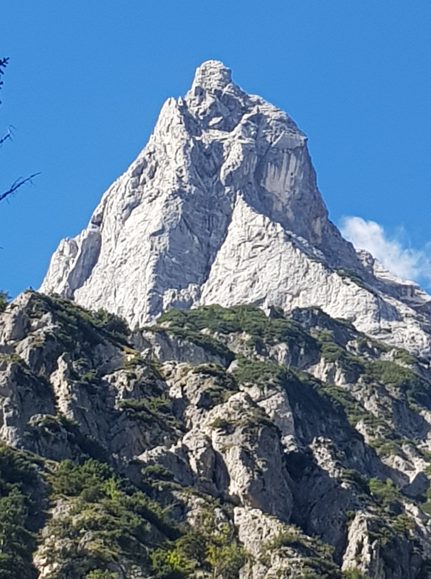
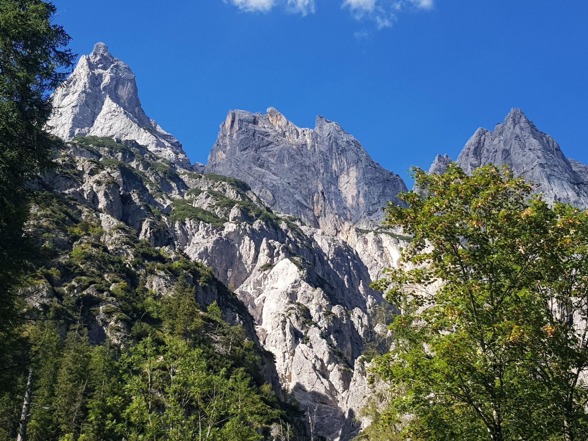
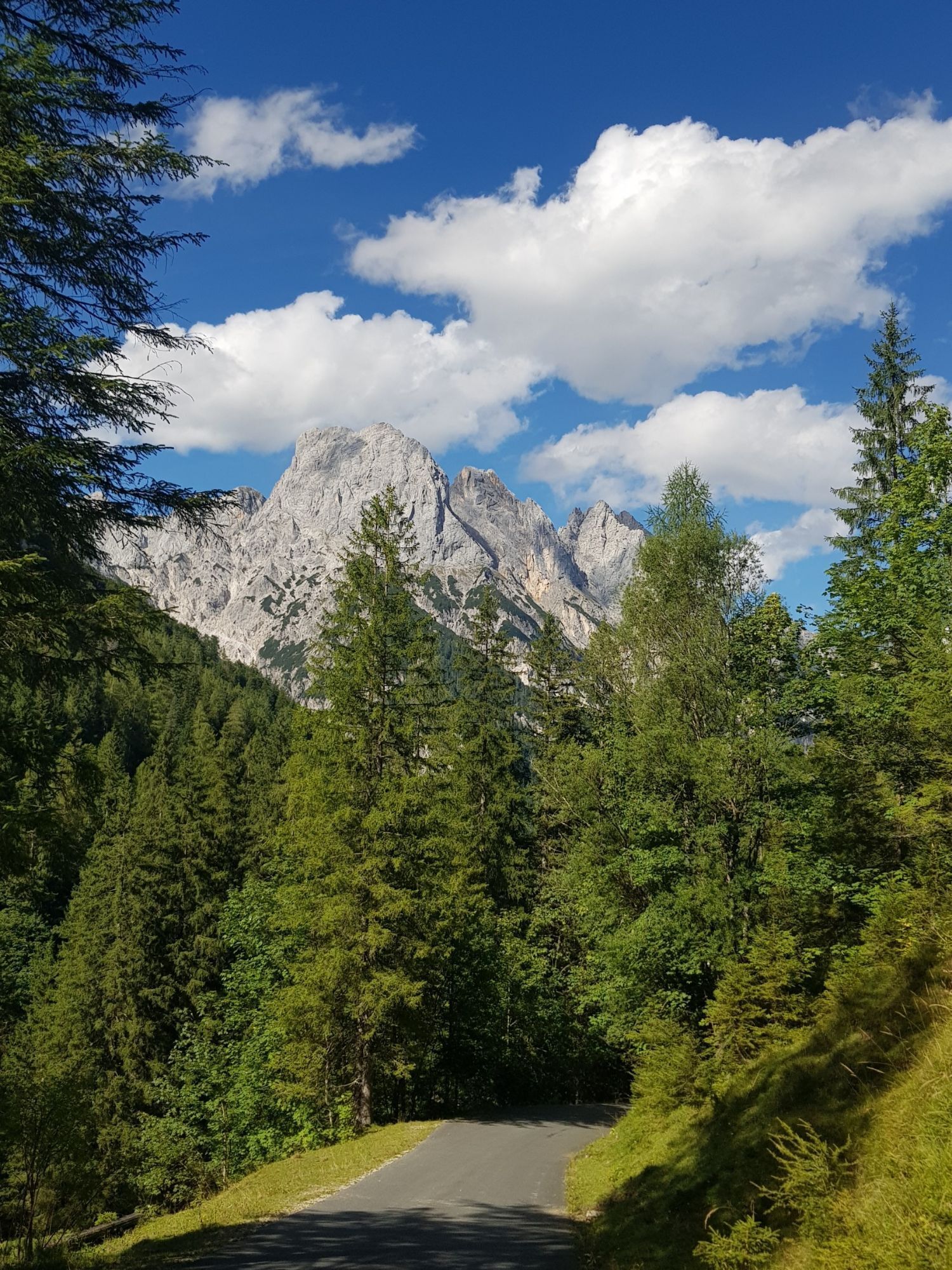

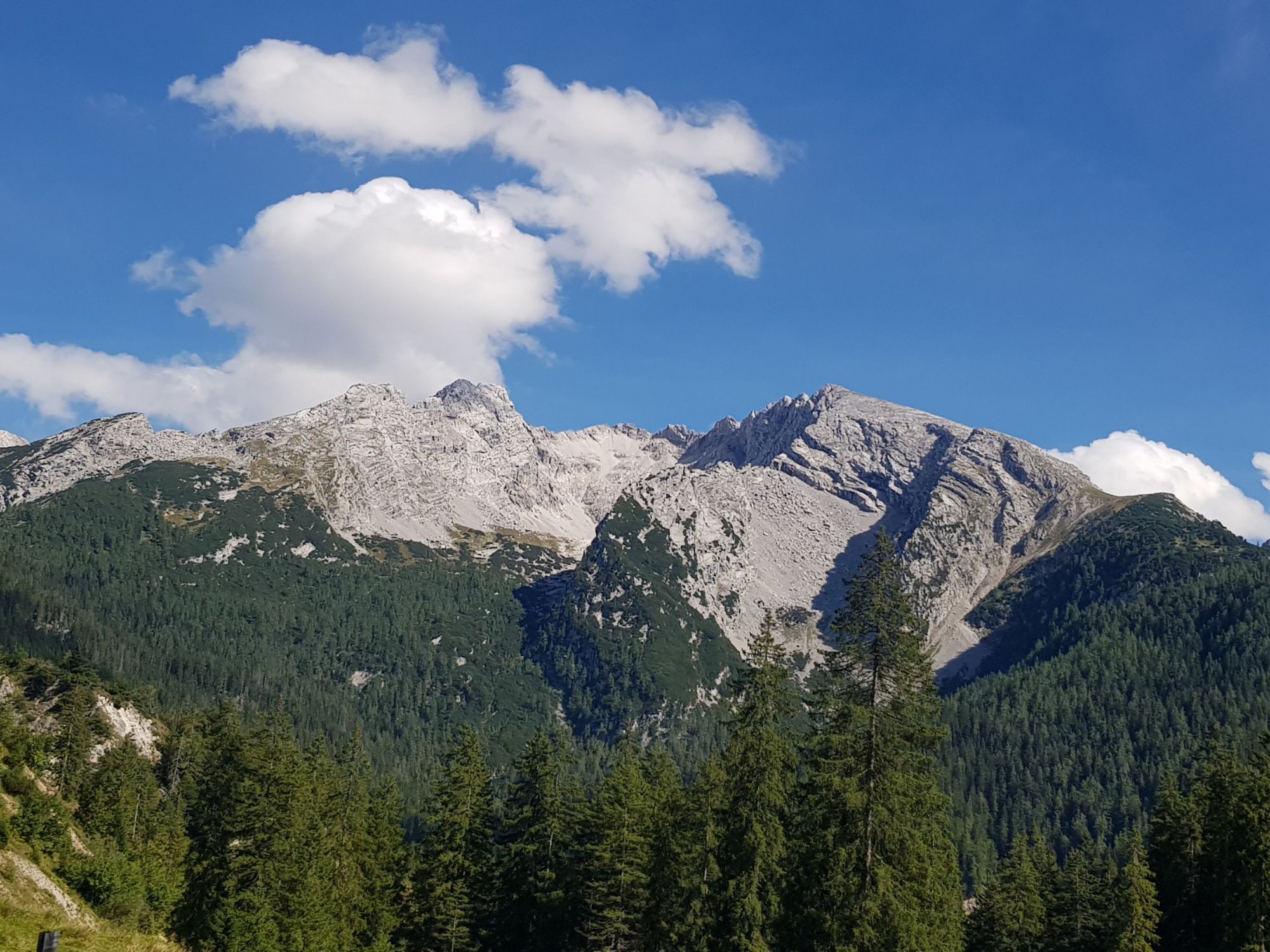
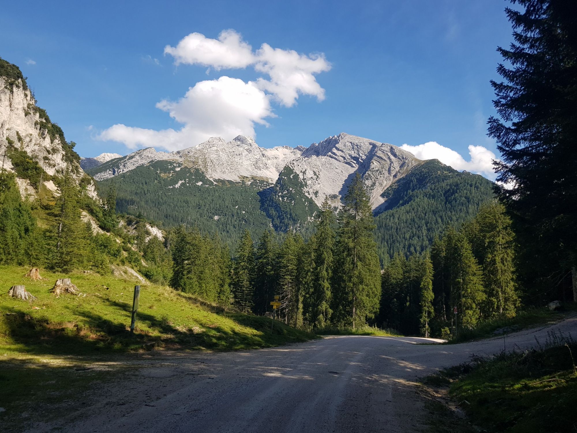
The route covers almost 50 kilometers and 1350 meters around the Reither Steinberge (Reither Alpe). Along the route, in addition to some places to eat, there are also great panoramic spots.
Route SASA 26...
The route covers almost 50 kilometers and 1350 meters around the Reither Steinberge (Reither Alpe). Along the route, in addition to some places to eat, there are also great panoramic spots.
Route SASA 26 on the bike map Salzburger Saalach valley

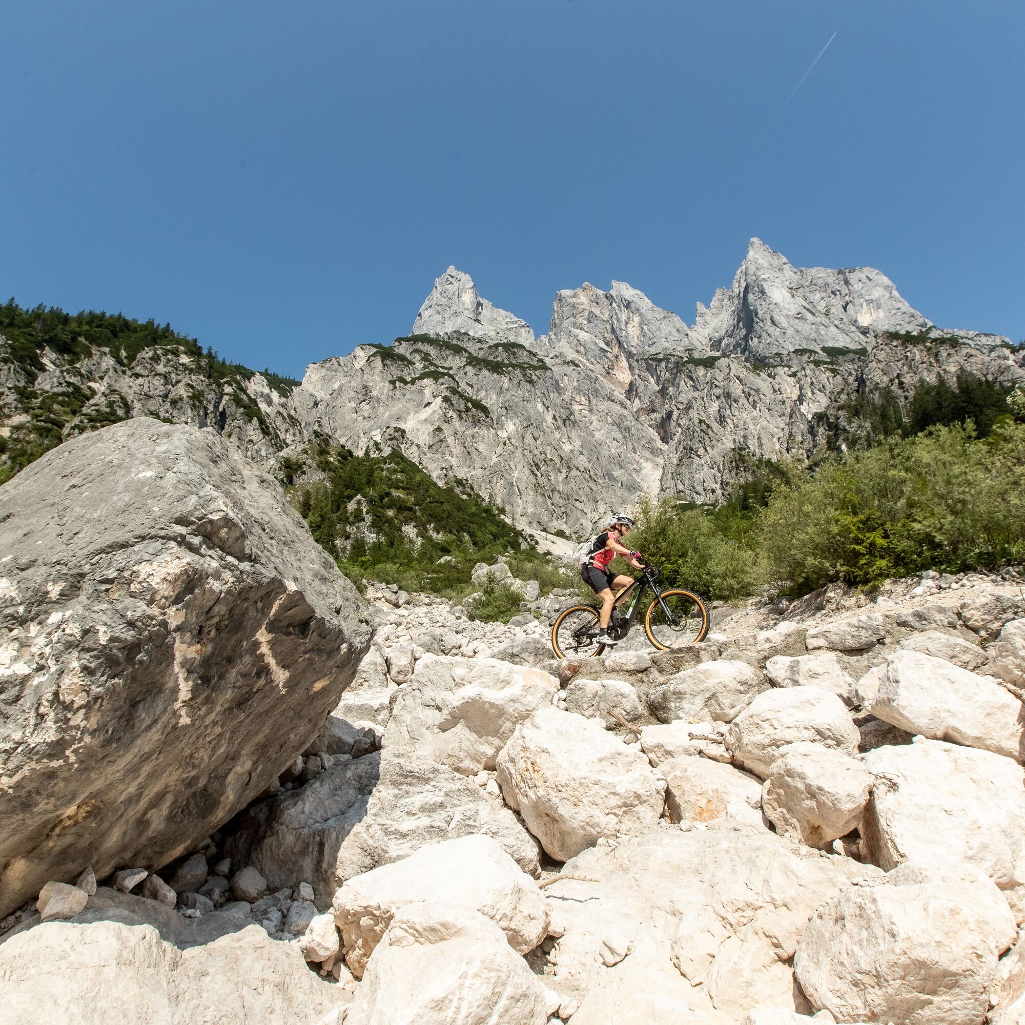
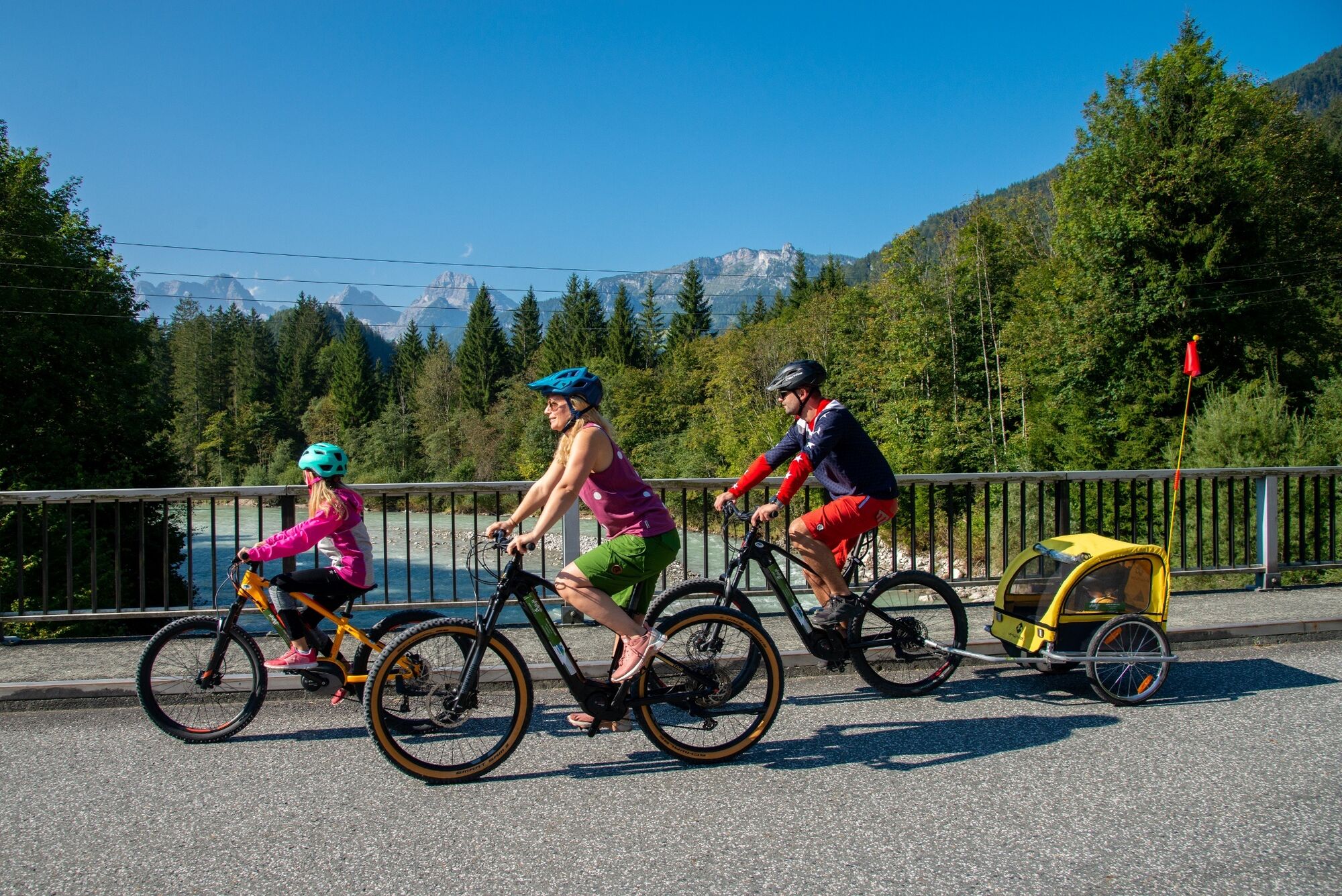
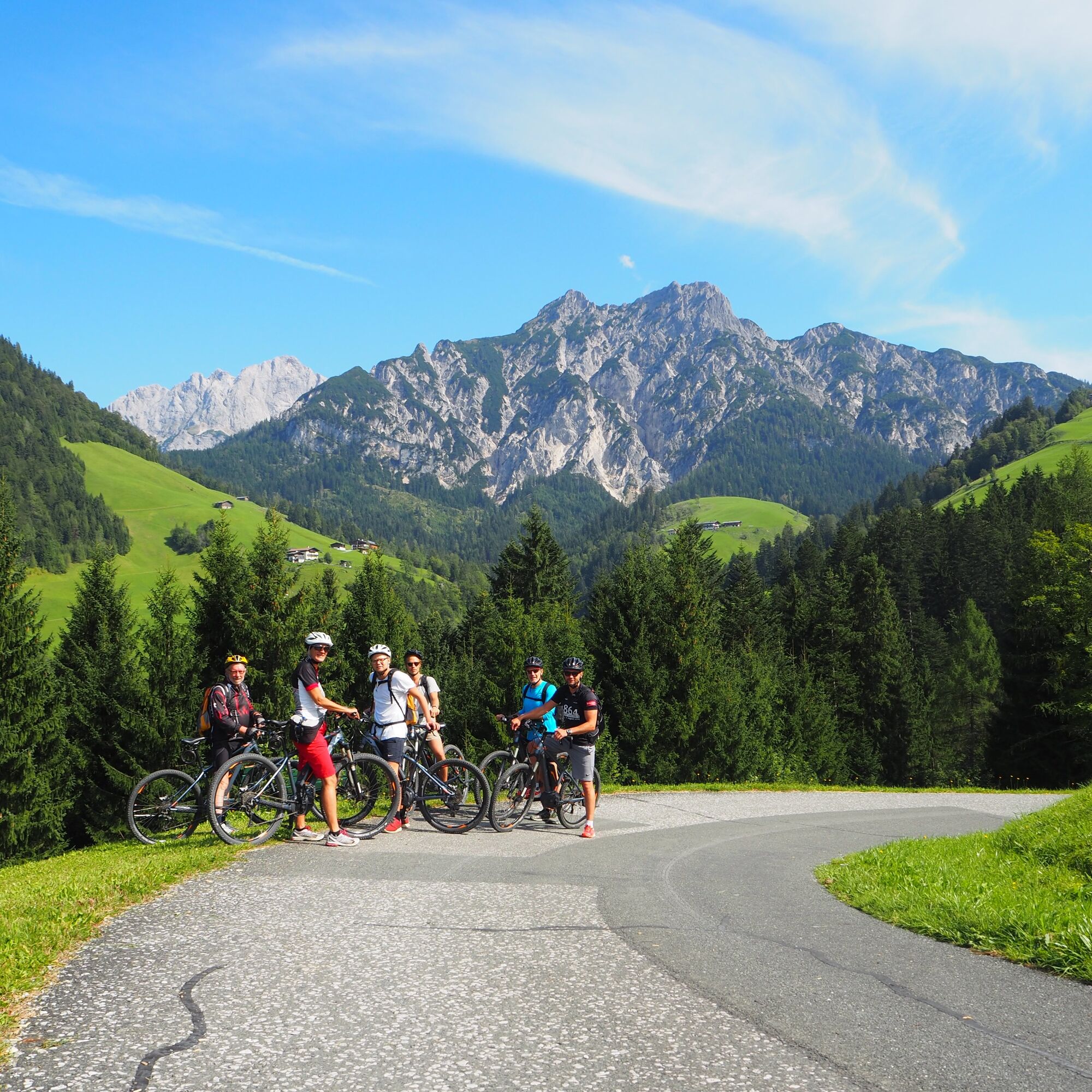
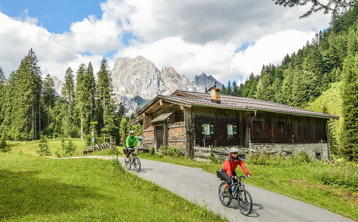

We start our e-mountain bike route in Reith and ride over Lenzen and Au upstream along the Saalach to St. Martin. From here, we take the steep climb into Wildental and via the Möserwald forest road to Hirschbichl. From here, we continue through Berchtesgaden National Park, so on the Bavarian side, past Hintersee to Taubensee and Schwarzbachalm. We then follow the stream to Unterjettenberg and over the Aschau saddle back to the starting point of the route in Reith.
E-mountain bike or mountain bike
Besides a water bottle, we recommend sturdy footwear, warm clothing, and rain protection.
Carry a repair kit, first-aid kit, mobile phone, light, gloves, sunglasses, as well as some food.
And, of course, don't forget the helmet.
We reach Reith, the starting point of our route, via the B178. The district of Reith is located between Unken and Lofer. (Arrival)
By bus line 260 (timetable) to the stop Reith/Unken.
Right after crossing the Saalach, there are free parking spaces.


Webové kamery z prehliadky
-
Hirscheckbahn Bergstation / Ramsau
-
Bergstation Almbahn II
-
Loderbichl - Talblick von Mittelstation, 1000 m
-
Ramsau / Berchtesgadener Land
-
Vorderloiplsau - Ramsau - Berchtesgadener Land
-
Predigtstuhl - Bad Reichenhall
-
Almenwelt Lofer - Talstation
-
Predigtstuhl - Bad Reichenhall
-
Lofer
-
Hintersee/Ramsau
-
Predigtstuhl III
-
Ramsau bei Berchtesgaden
-
Bergsteigerdorf Ramsau
-
Weißbach bei Lofer


Obľúbené výlety v okolí
-
4,6
Kneifelspitze
Turistika 2,53 km -
4,5
Alpgarten-Rundweg
Turistika 2,93 km -
4,1
Malerwinkel Rundwanderweg
svetloTuristika 3,60 km -
4,8
Königssee - Kärlinger-Haus
Turistika 10,1 km -
4,5
Wimbachgrieshütte
Turistika 8,30 km -
4,5
Grünstein
svetloTuristika 2,57 km -
4,4
Halsalm
Turistika 6,43 km -
4,7
Over the waterfall trail into the Almenwelt Lofer
strednáTuristika 3,29 km -
4,1
Blaueis - Schärtenspitze
Turistika 7,29 km -
4,6
Seisenberg Gorge
svetloTuristika 2,41 km
Turistika a stopovanie


Nenechajte si ujsť ponuky a inšpiráciu na ďalšiu dovolenku
Vaša e-mailová adresa bol pridaný do poštového zoznamu.





