


ASKÖ Heuberg Trail near Salzburg
Úroveň náročnosti: S3
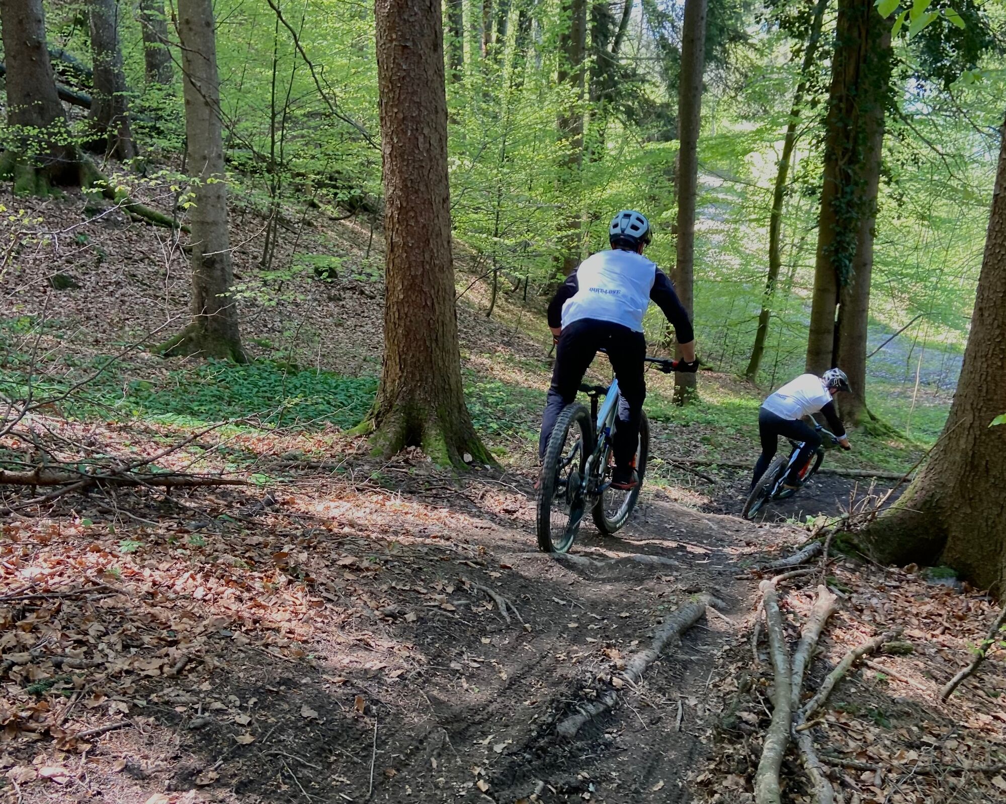
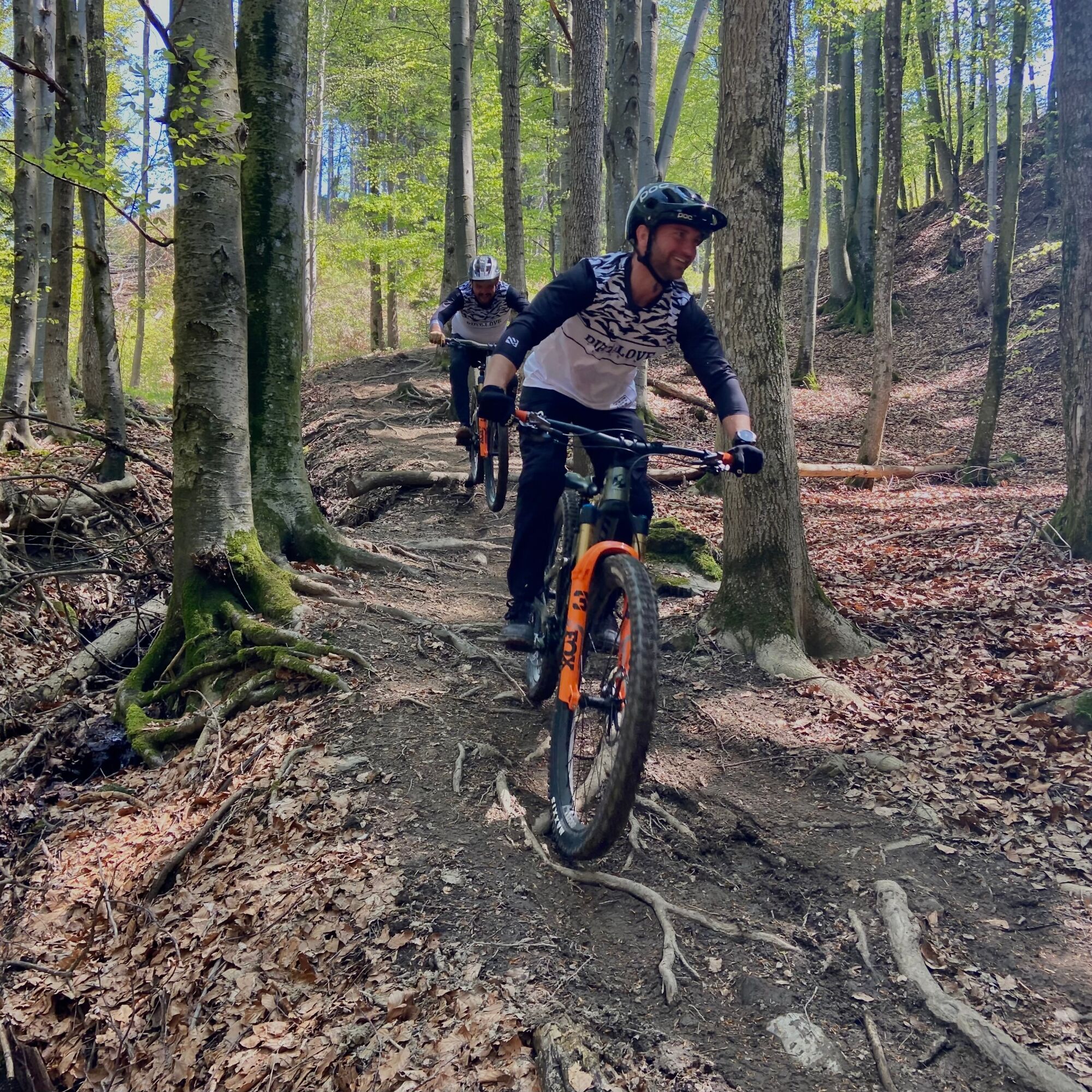
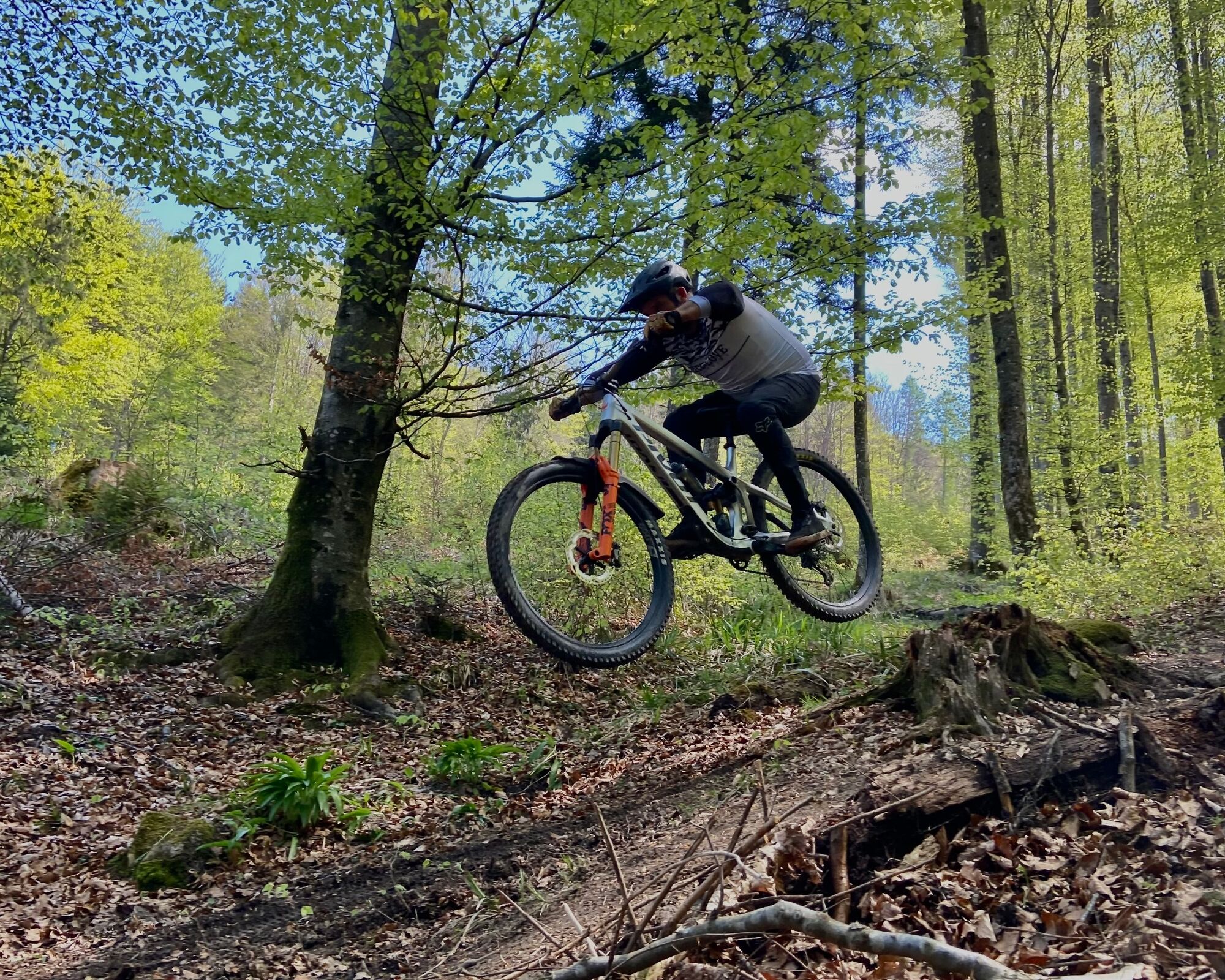
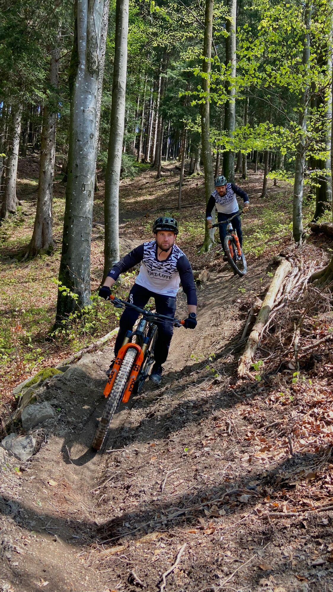
The trail was hand-built as a natural and demanding singletrail and requires good to very good mountain bike riding skills depending on the weather. Therefore, use by less experienced mountain bikers,...
The trail was hand-built as a natural and demanding singletrail and requires good to very good mountain bike riding skills depending on the weather. Therefore, use by less experienced mountain bikers, or those who have mostly ridden on forest roads so far, is discouraged. Challenges such as diagonally running root carpets, fall line curves, narrow passages, and partly slippery surfaces are present along the trail and cannot be bypassed. Therefore, the ASKÖ Heuberg Trail may only be ridden downhill (!) with appropriate skills and suitable equipment.


Helmet requirement applies on the trail.
Difficulty level: Black! The trail generally contains sections at S2-S3 level according to the STS singletrail scale; especially in wet conditions, the difficulty increases.
No riding after heavy rainfall or in snow. There is an absolute night riding ban! Riding on the trail and forest roads is only allowed from March 1 to November 30, from one hour after sunrise until one hour before sunset. User rules for the trailAscent is either via Daxlueg Road/ Gasthaus Daxlueg or via Wolfgangsee Road to Daxlueg Road, each following the signage via the adjoining forest road. The trail entry, route, and trail end are also clearly marked with signs.
Ample parking is available in Gnigl at ASKÖ Salzburg, at the P+R parking lot in Koppl, and at the CONTIPARK parking lot in Hallwang-Mayrwies (day rate €4).
ASKÖ Salzburg, Parscherstraße 4, 5023 Salzburg CONTIPARK parking lot Hallwang-Mayrwies, Waldorfstraße, 5023 Salzburg Wolfgangsee Federal RoadS3
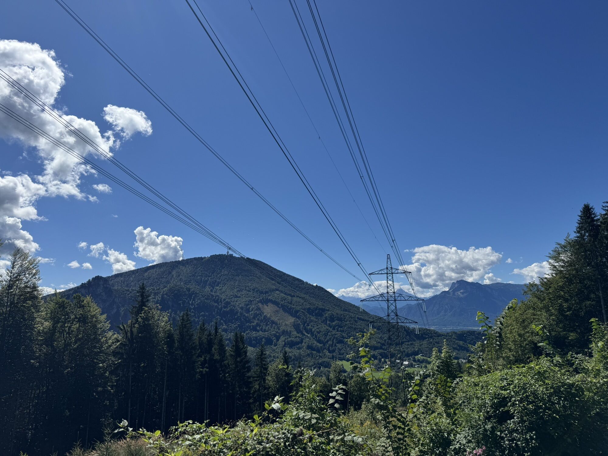
Stop by the Panoramic Inn Dax Lueg for a small refreshment and enjoy the fantastic view.
Obľúbené výlety v okolí
-
4,4
Fuschlseewanderung
svetloTuristika 11 km -
4,0
Bärenweg am Lidaun
svetloTuristika 9,05 km -
4,4
From Koppl to the Gaisberg summit
strednáTuristika 9,86 km -
4,3
Panoramic circular route Kaiserbuche
svetloTuristika 4,93 km -
4,7
Reitsteig - Dopplersteig Runde_Untersberg
strednáVysoké turné 9,89 km -
4,2
Idyllic Hintersee Rund
svetloTuristika 5,10 km -
4,9
Untersberg (Salzburger Hochthron)
strednáTuristika 11,8 km -
4,7
Salzburger Hochthron (Untersberg)
svetloTuristika 2,36 km -
4,4
Ochsenberg & Eibleck Rundweg
svetloTuristika 7,83 km -
4,2
+++ Filbling, Österreich
svetloTuristika 12,3 km
Turistika a stopovanie


Nenechajte si ujsť ponuky a inšpiráciu na ďalšiu dovolenku
Vaša e-mailová adresa bol pridaný do poštového zoznamu.