


KA10 Bruckerberg Runde
Fotografie našich používateľov
-
 © Matej Mikus 1Vytvorené dňa 12.10.2022
 -
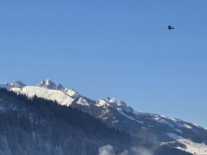
 © - Peter -Vytvorené dňa 18.09.2025
 -
 © Matej Mikus 1Vytvorené dňa 12.10.2022
 -
 © Matej Mikus 1Vytvorené dňa 12.10.2022
 -
 © Matej Mikus 1Vytvorené dňa 12.10.2022
 -
 © Matej Mikus 1Vytvorené dňa 12.10.2022
 -
 © Matej Mikus 1Vytvorené dňa 12.10.2022
 -
 © Shitlas TrashVytvorené dňa 27.03.2026
 -

 © klausarnezederVytvorené dňa 28.02.2026
 -
 © klausarnezederVytvorené dňa 28.02.2026
 -
 © klausarnezederVytvorené dňa 28.02.2026
 -
 © klausarnezederVytvorené dňa 28.02.2026
 -
 © Rebeka MikusVytvorené dňa 11.02.2026
 -
 © Sigrid BöhmVytvorené dňa 18.01.2026
 -
 © Sigrid BöhmVytvorené dňa 18.01.2026
 -
 © Sigrid BöhmVytvorené dňa 18.01.2026
 -
 © Sigrid BöhmVytvorené dňa 18.01.2026
 -
 © Sigrid BöhmVytvorené dňa 18.01.2026
 -
 © Sigrid BöhmVytvorené dňa 18.01.2026
 -
 © Sigrid BöhmVytvorené dňa 18.01.2026
 -
 © Johann HoellerVytvorené dňa 17.09.2025
 -
 © Johann HoellerVytvorené dňa 17.09.2025


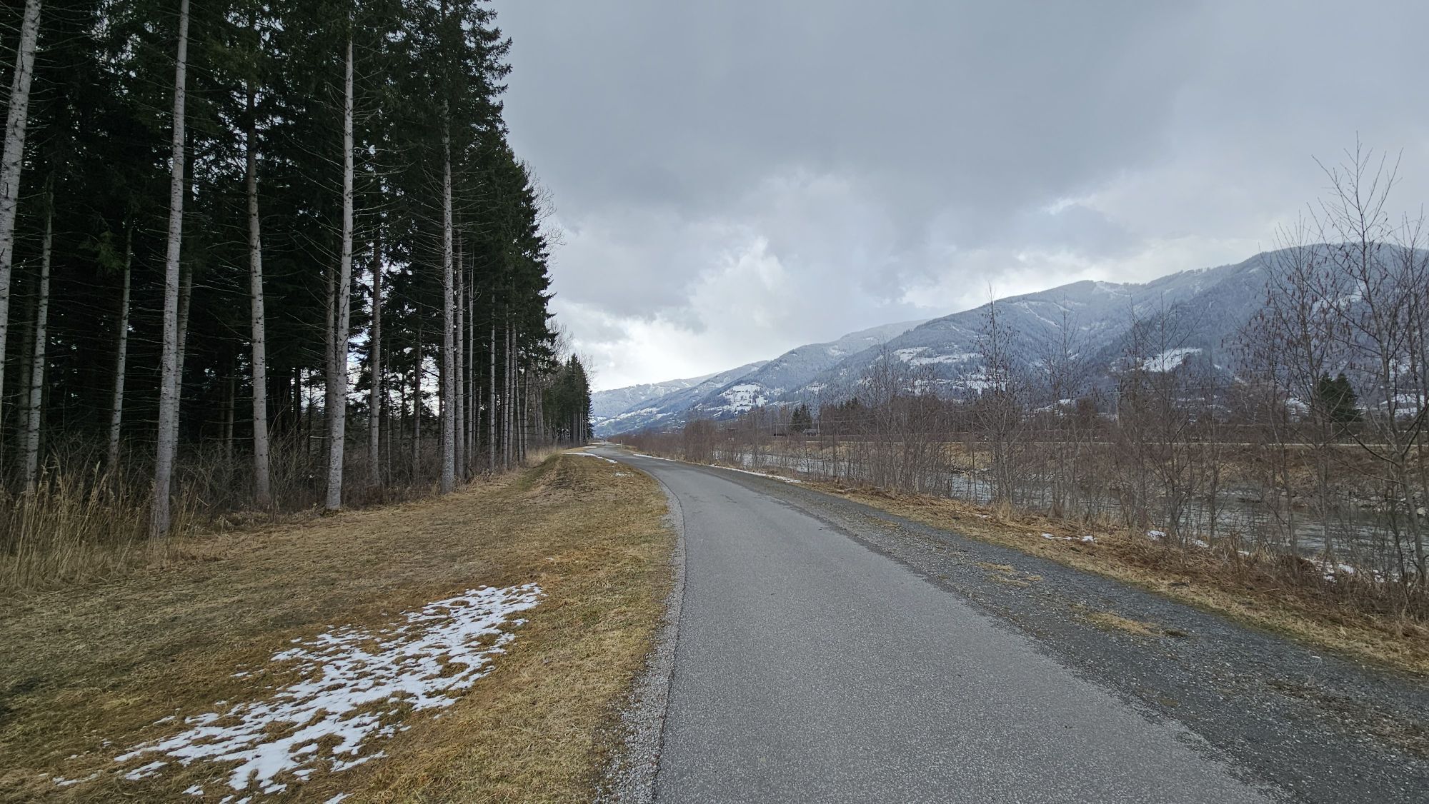
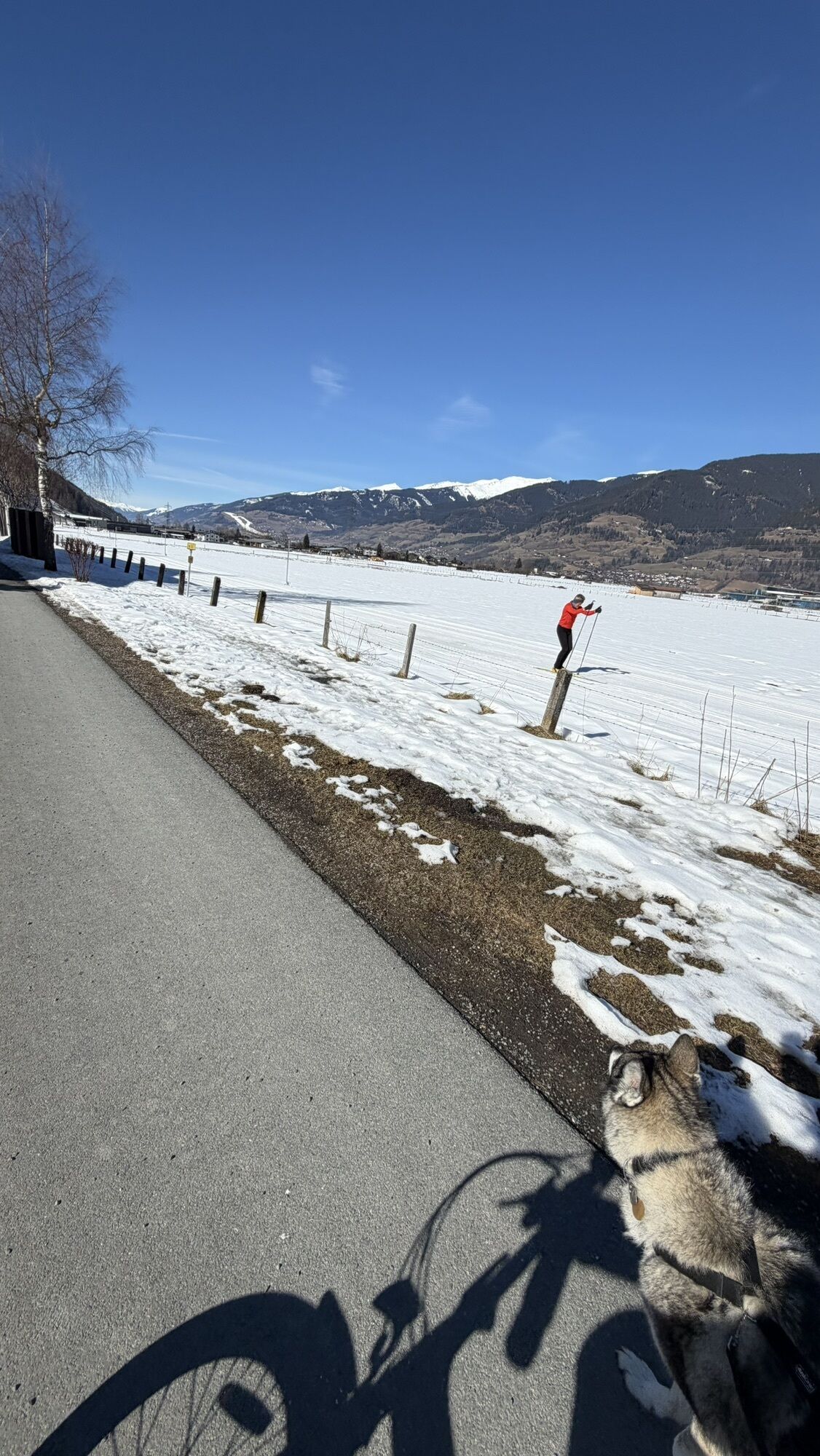
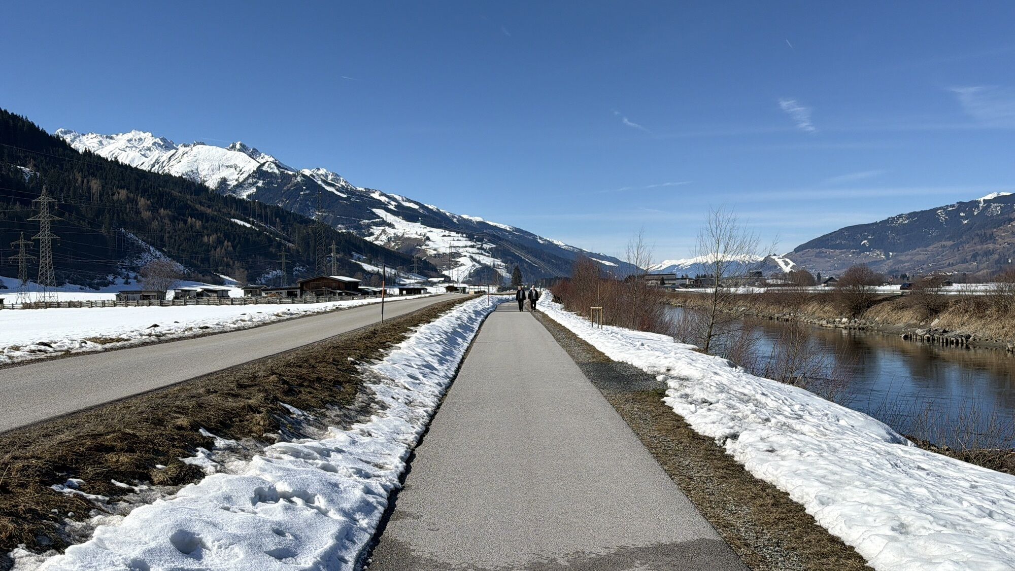
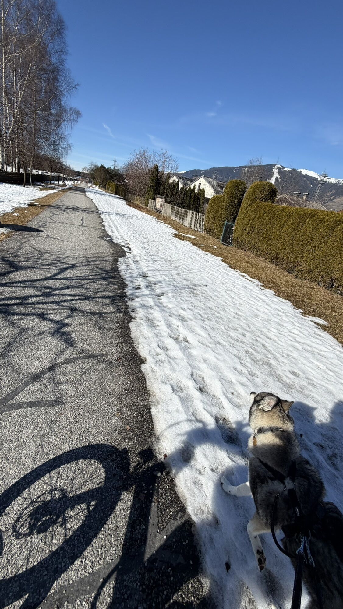


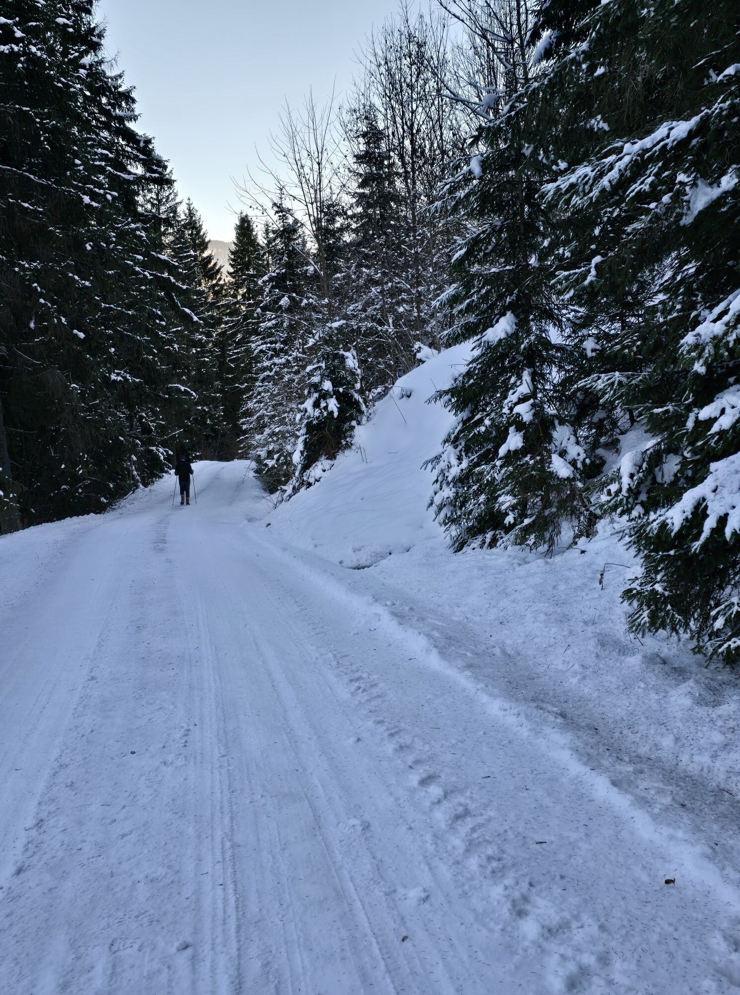
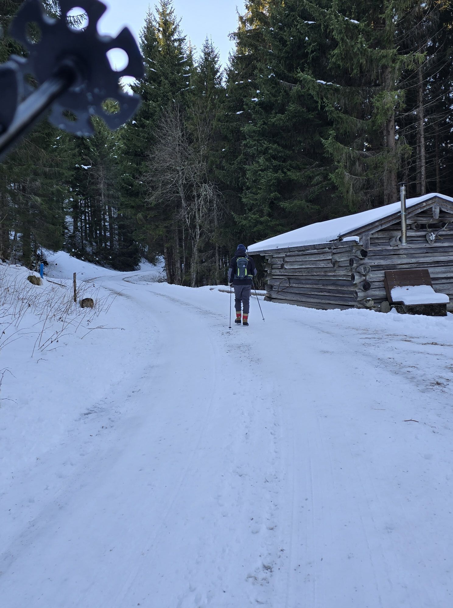
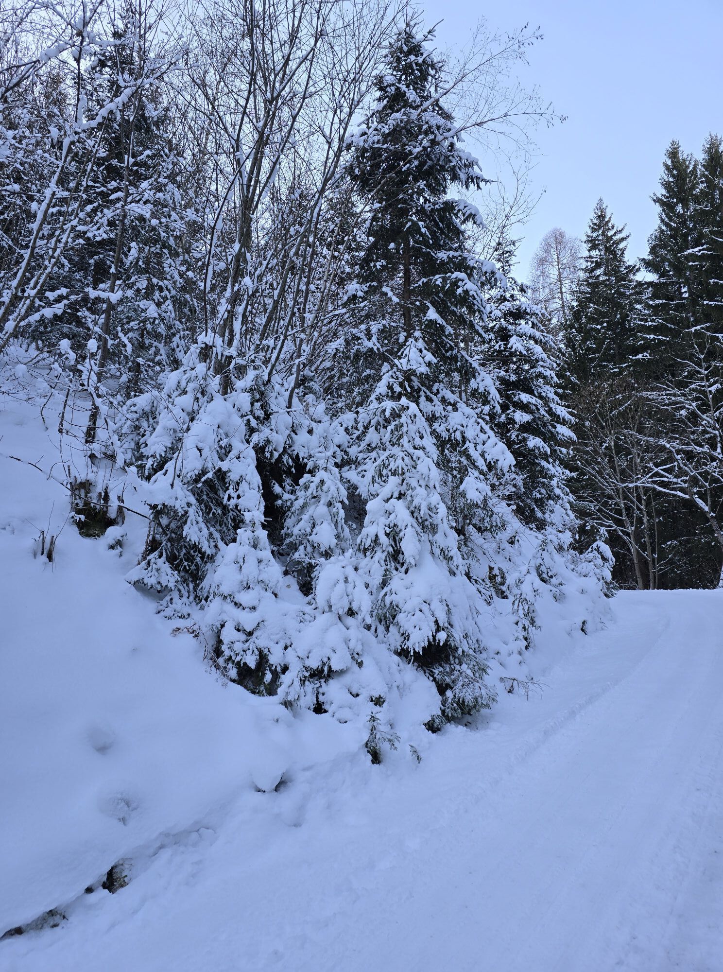
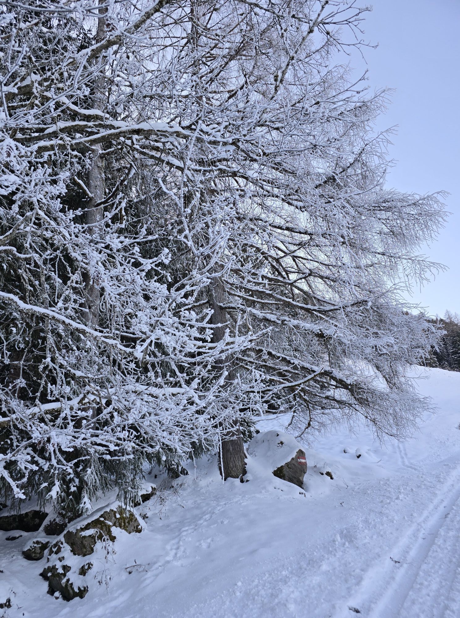
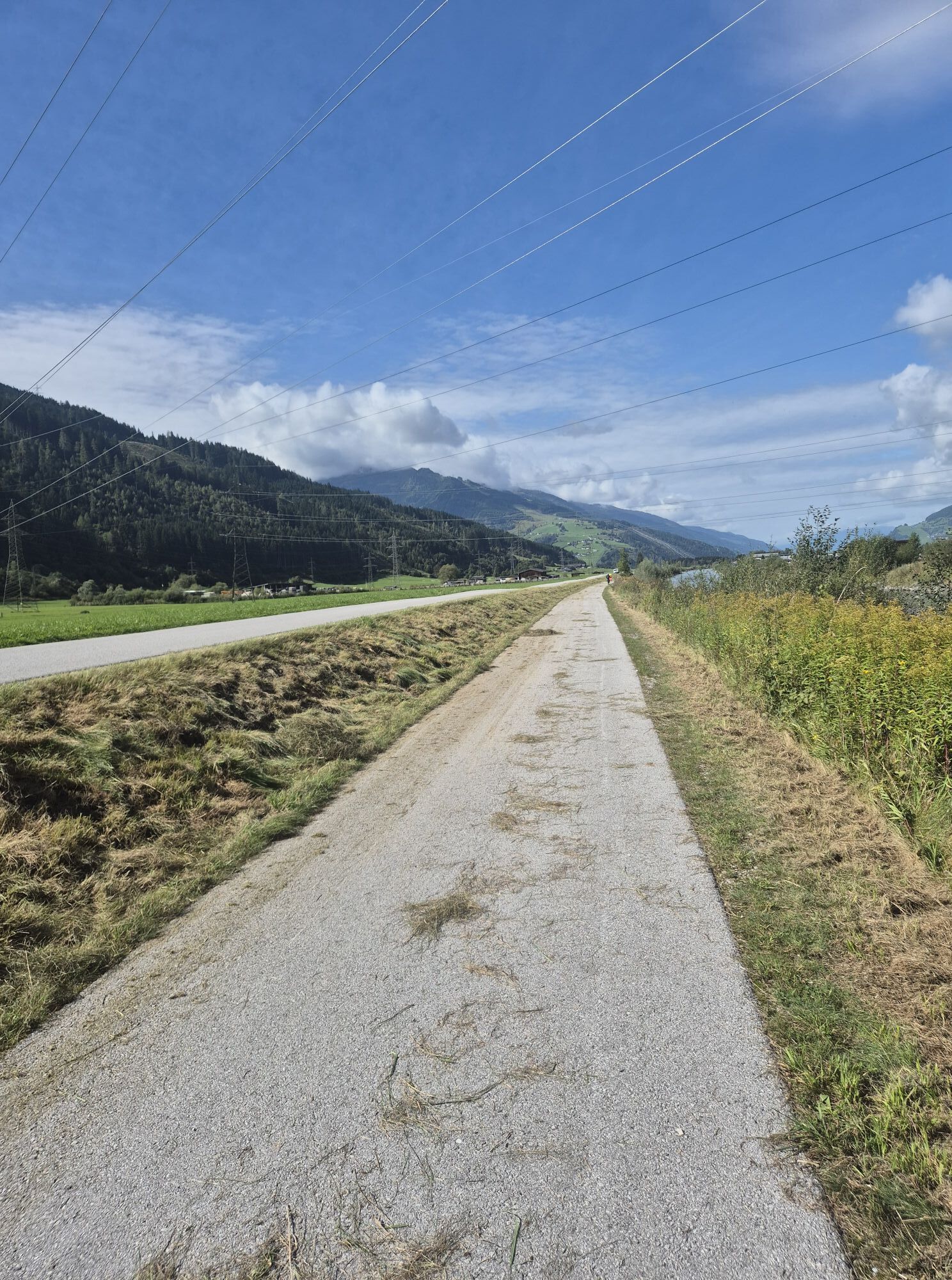
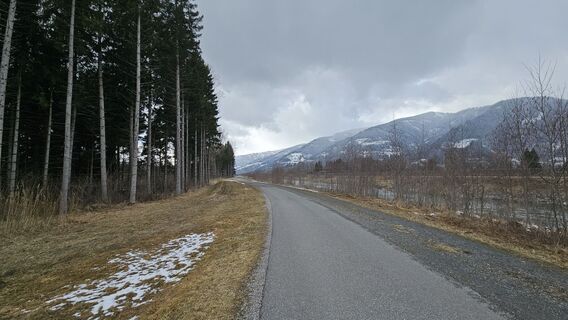
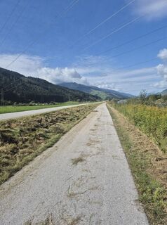
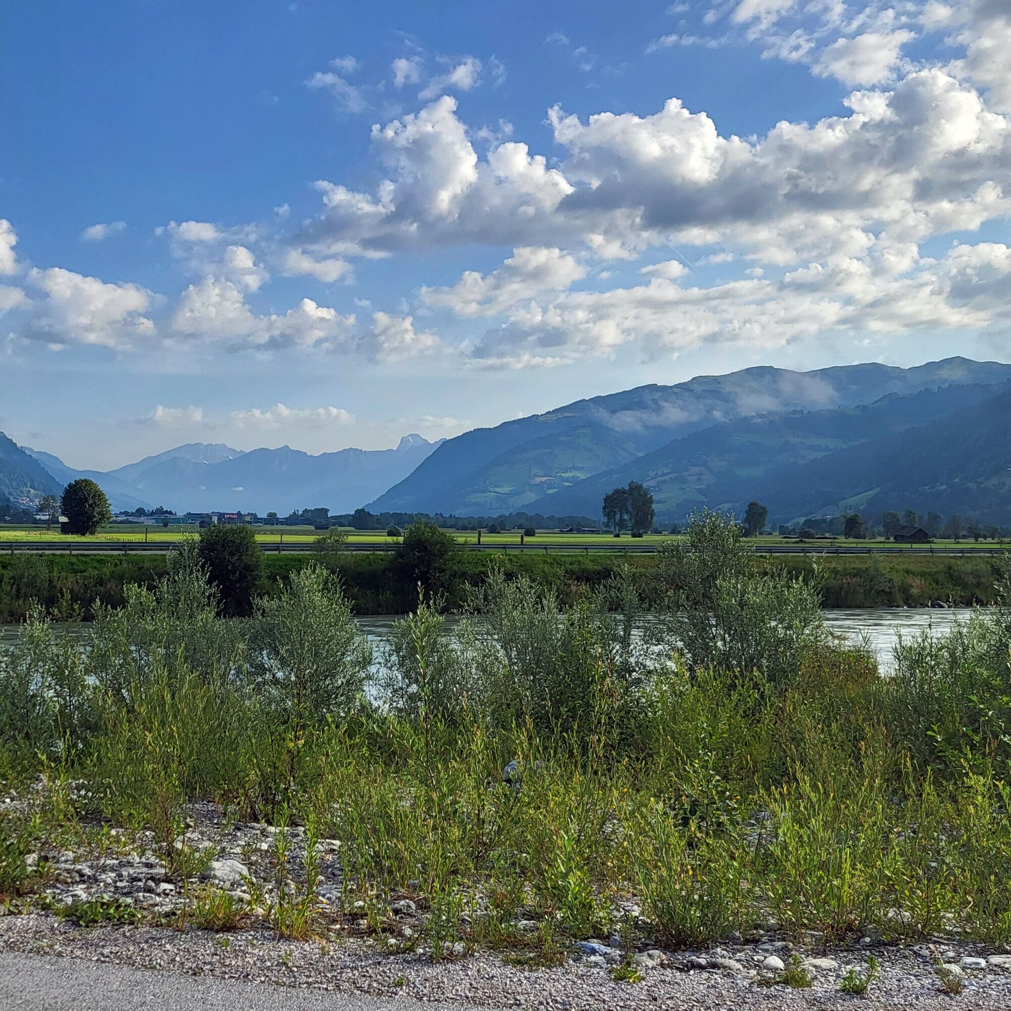
The moderate tour starts on flat asphalt and later transitions to gravel and forest paths. Along the Tauern Cycle Path, it passes through the protected landscape area of "Filzmoos" and follows the picturesque...
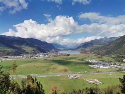
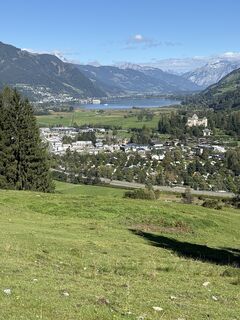
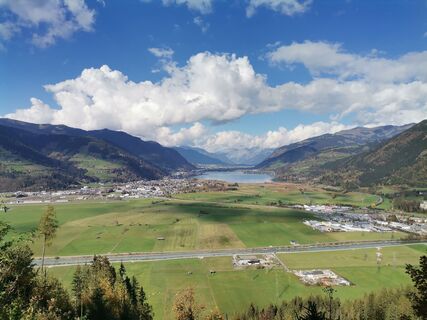
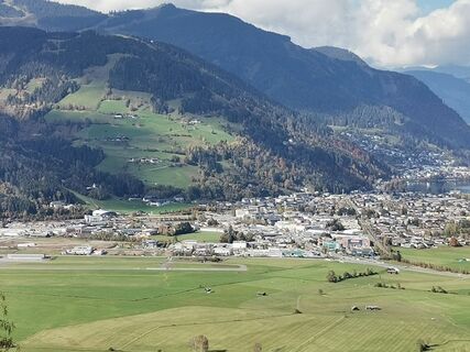
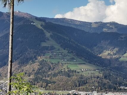
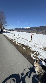
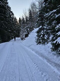
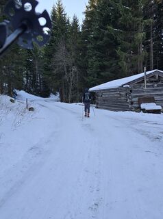
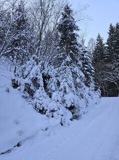
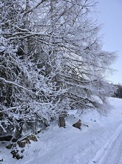
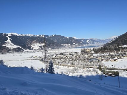
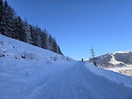
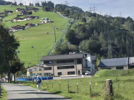
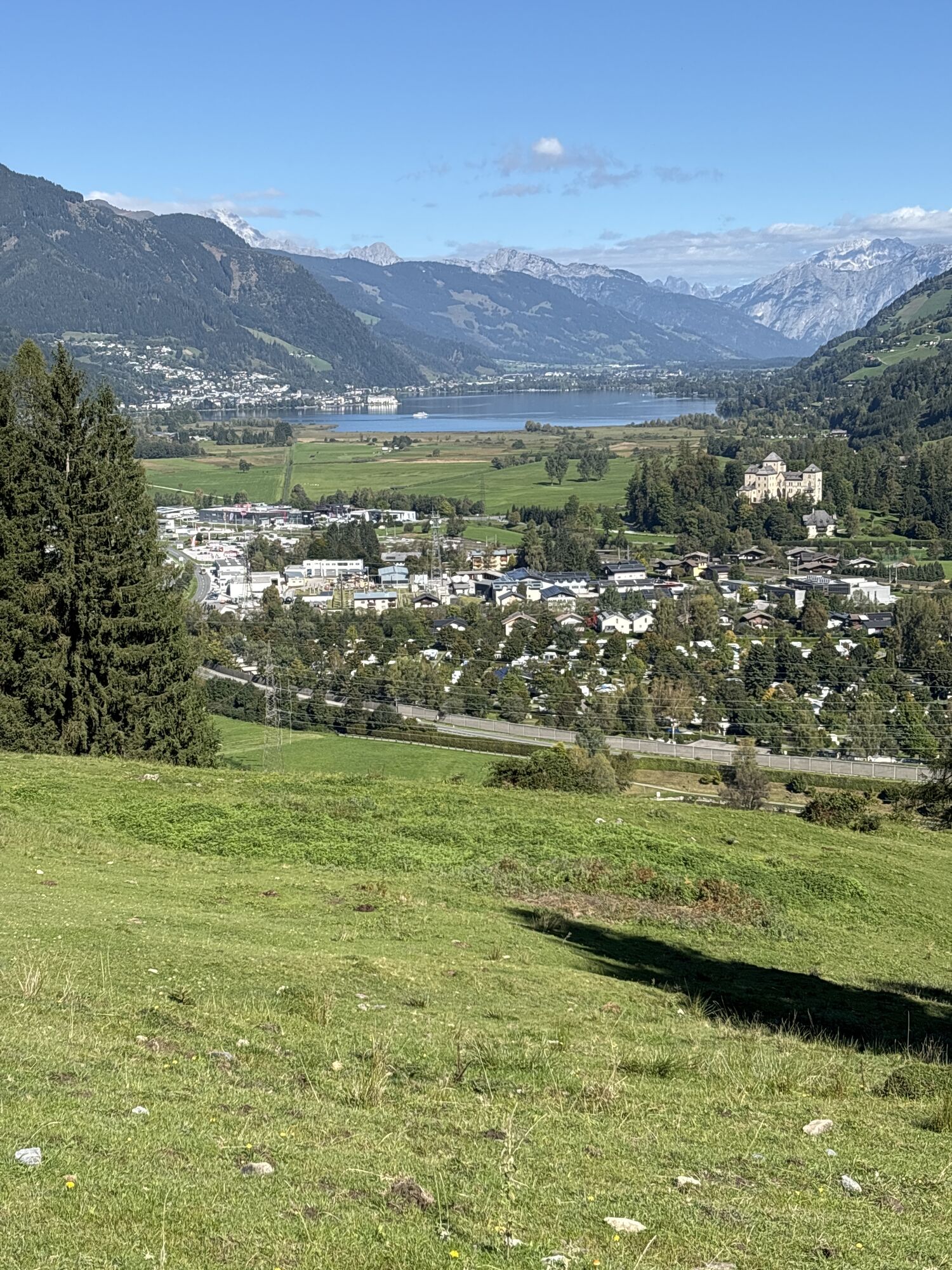
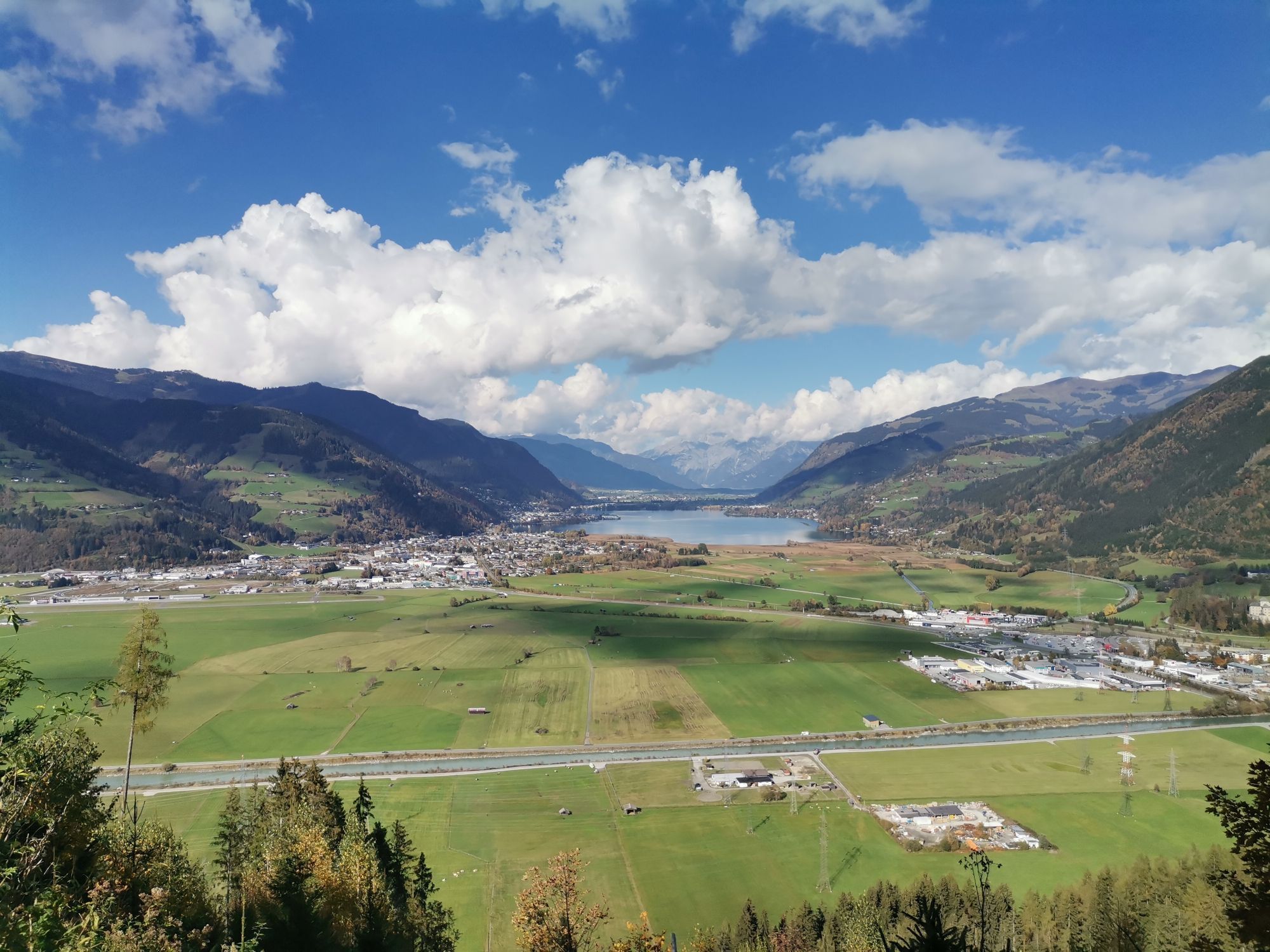
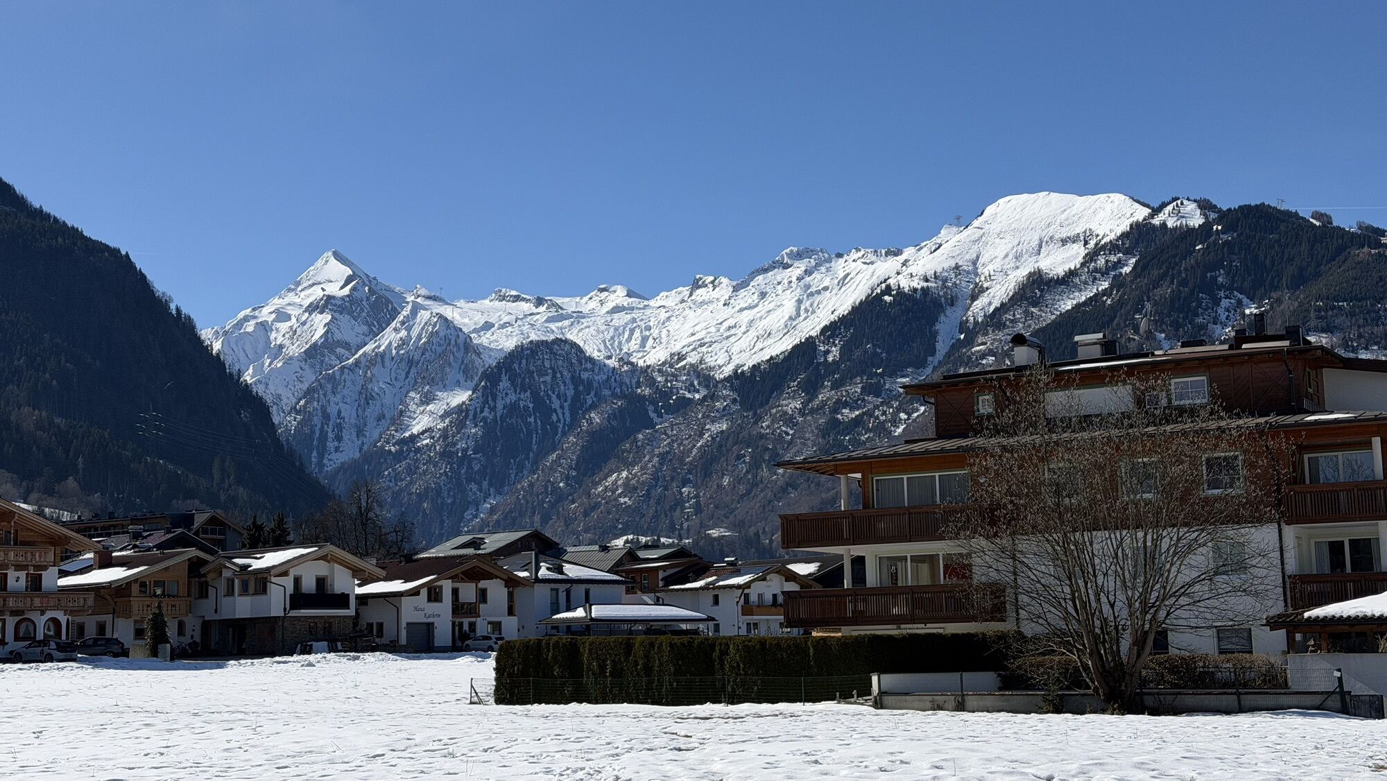
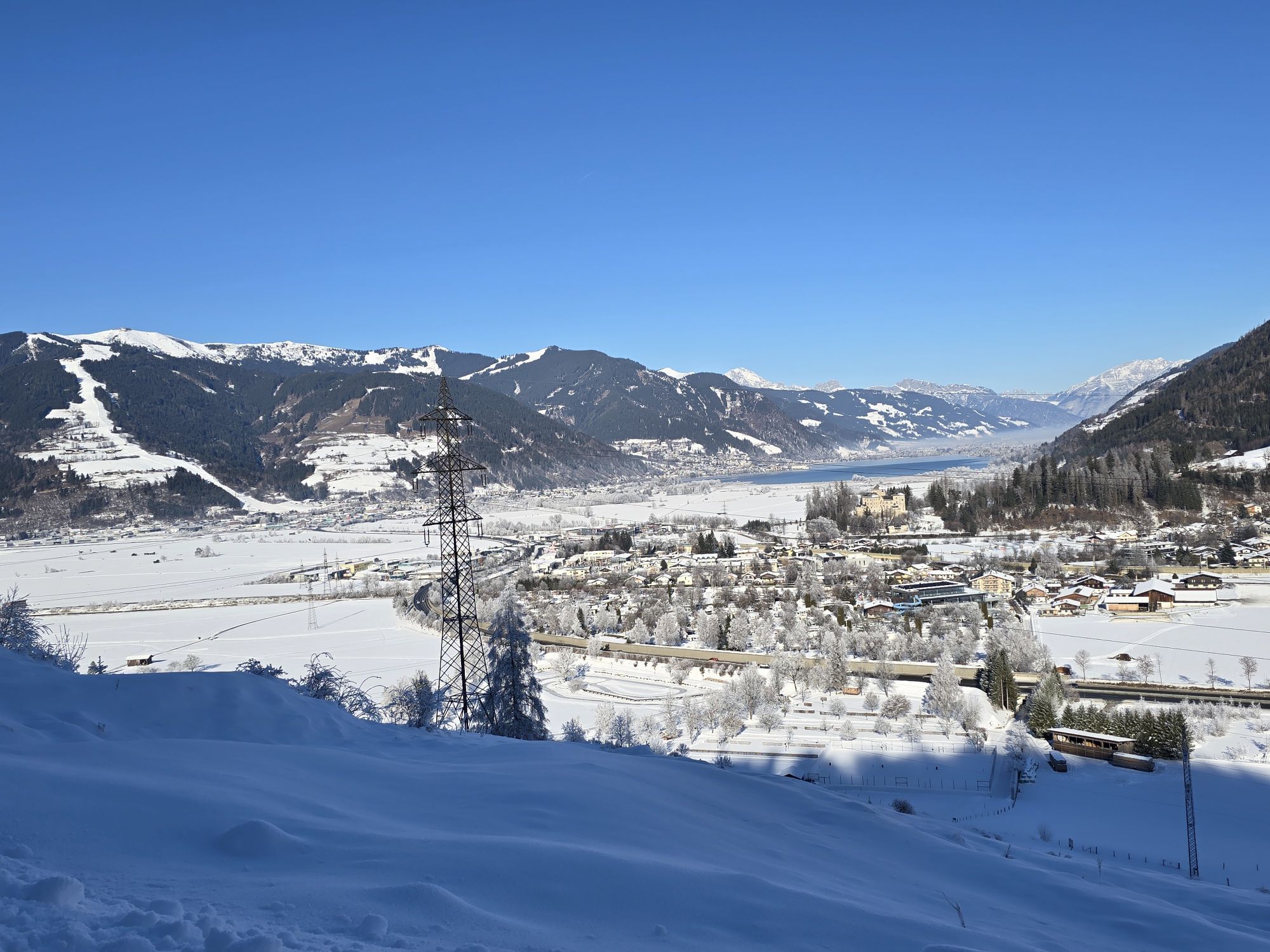
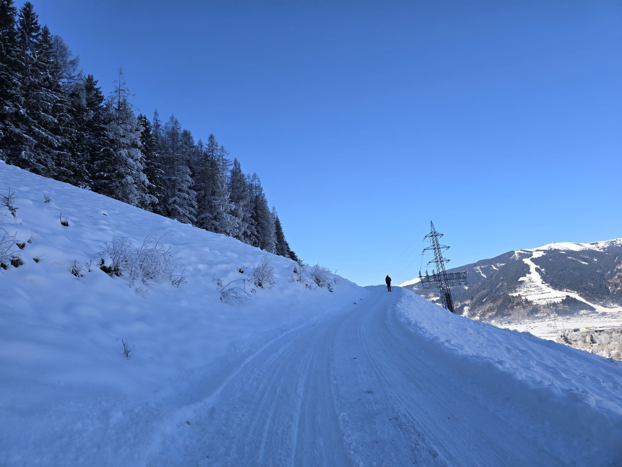
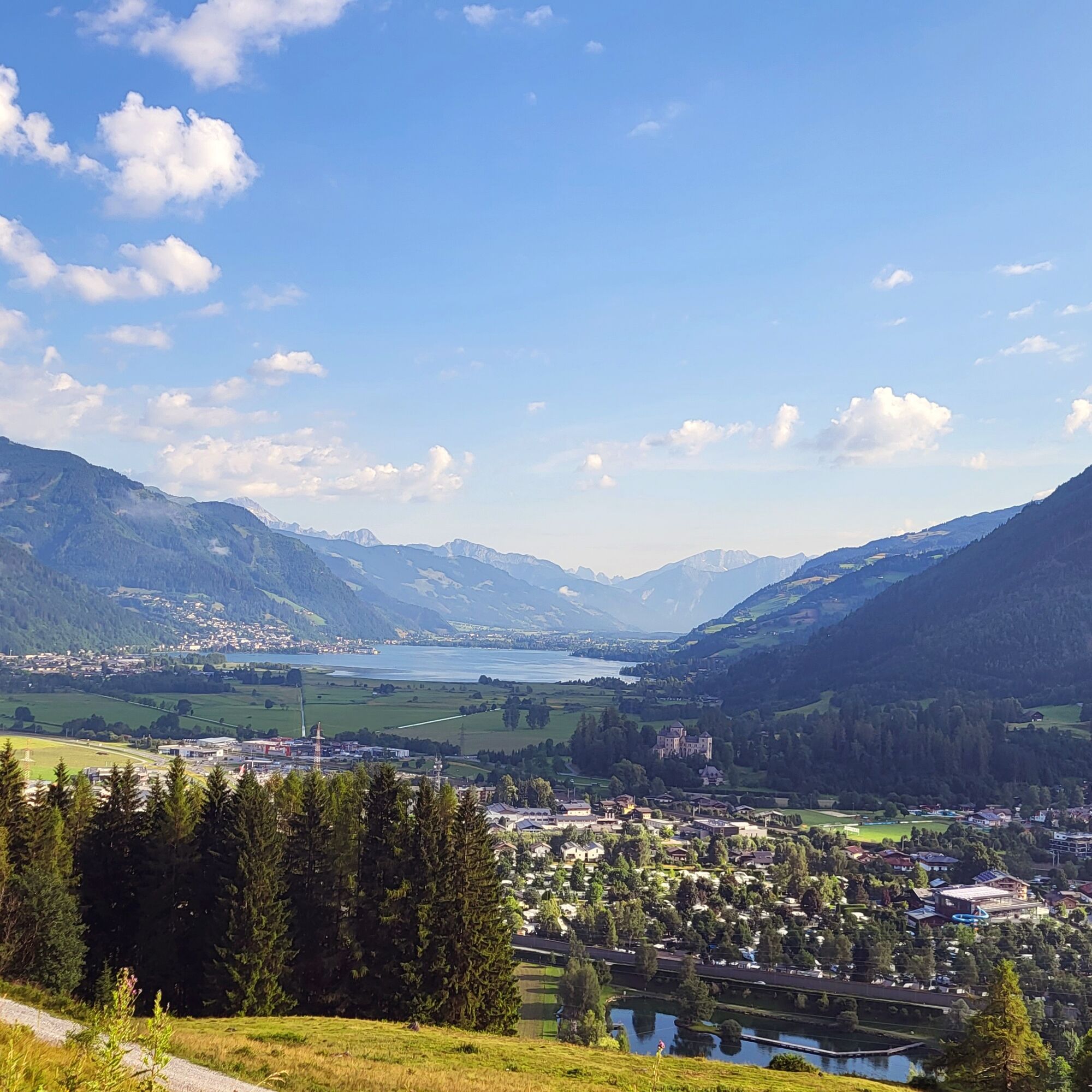
The moderate tour starts on flat asphalt and later transitions to gravel and forest paths. Along the Tauern Cycle Path, it passes through the protected landscape area of "Filzmoos" and follows the picturesque Salzach river to Bruck. The route along Bruckerberg offers spectacular views of the Schmittenhöhe, Lake Zell, Fischhorn Castle, and the Steinere Meer mountain range. A brief downhill trail section from the highest point requires skill - less experienced riders might prefer walking their bikes here.

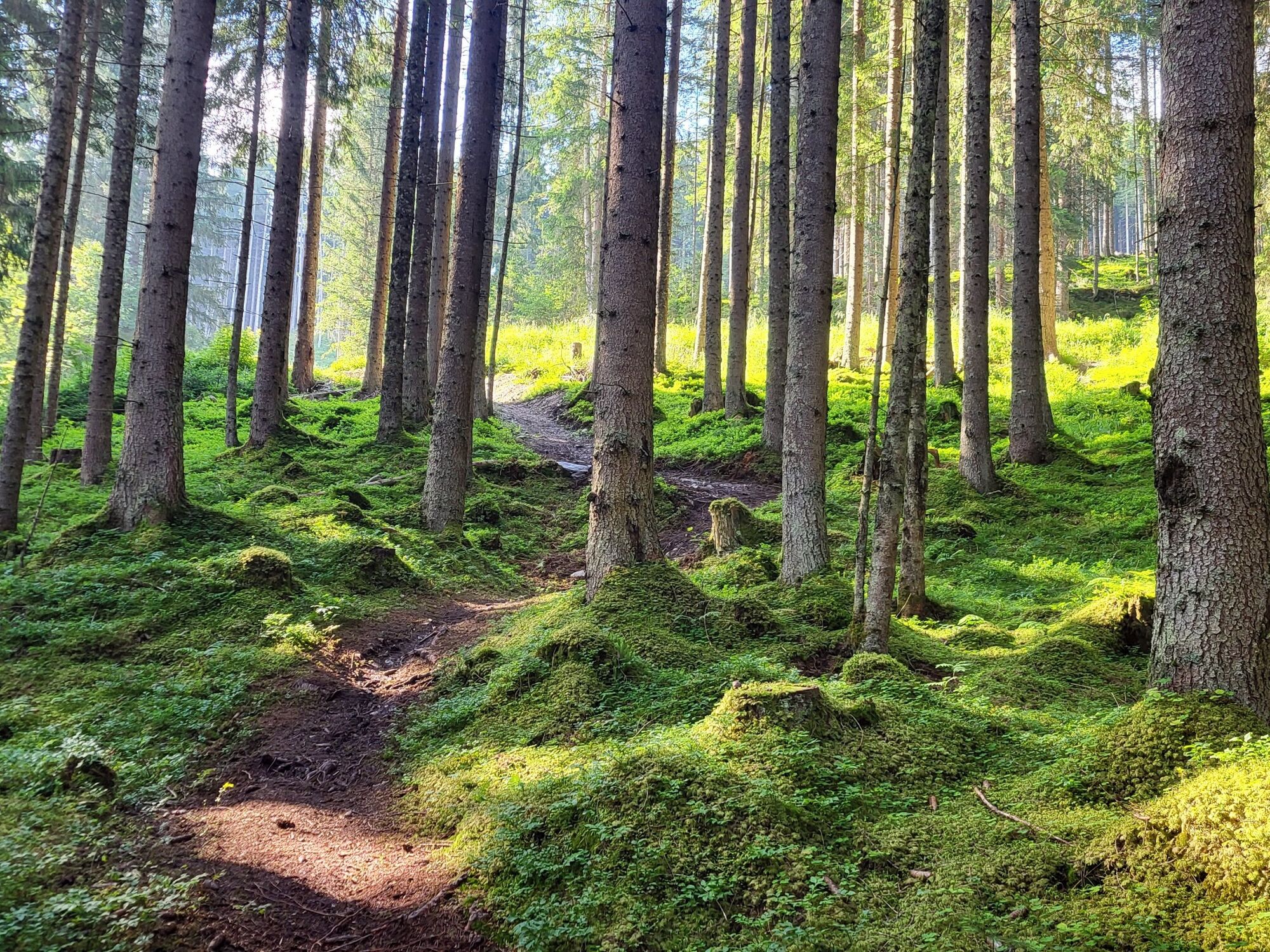
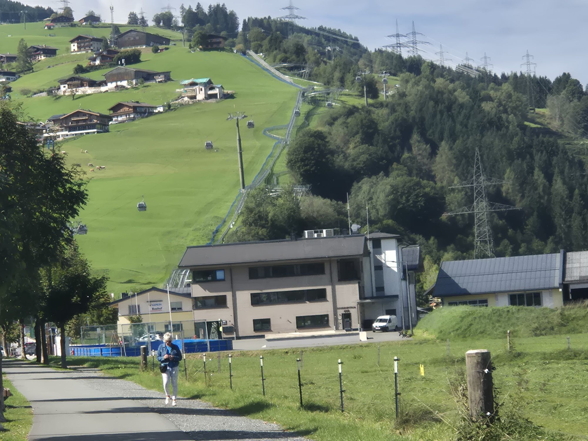
Start at the valley station of the MK Maiskogelbahn and follow the Tauern Cycle Path eastward, passing through the protected landscape area of "Filzmoos" and along the Salzach river to Bruck. Continue the tour towards Fusch on the Großglocknerstraße. At road kilometer 1.3 (between the houses), turn right and follow the paved road, which later transitions into a gravel road (forest path), steadily ascending to the tour's highest point. Here, a short and challenging downhill trail section awaits - less experienced riders should proceed with caution. Continue on the forest path, passing Guggenbichl, and return to Kaprun. Follow Schiedstraße, Hohenwarterweg and Imbachstraße back to the starting point.
Stay on the marked trails/routes!
The common rules of conduct provide that the forest and pastures will continue to offer a unique recreational living and working area for all in the future.
Your behaviour influences public opinion and tolerance.
Sufficient parking facilities are available at the valley station.
Treat yourself to a short break along the way and enjoy the panorama :)
Webové kamery z prehliadky


Obľúbené výlety v okolí
-
4,5
Sigmund Thun Klamm
svetloTuristika 3,10 km -
4,3
Bruck: 732+736+730 | Drei Brüder
ťažkéTuristika 16,1 km -
4,1
Schwalbenwand Nr. 80, 81, 82
strednáTuristika 13,0 km -
4,8
Sigmund Thun Klamm, Klammsee, Bürgkogel
svetloTuristika 4,56 km -
4,7
Fusch: Gleiwitzer Hütte
ťažkéTuristika 8,26 km -
4,5
Hoher Tenn mit Bergspitze 3.368m, Schneespitze 3.317m, Kleiner Tenn 3.158m, Bauernbrachkopf 3.125m, Kempsenkopf 3.090m, Imbachhorn 2.470m, Rettenzink 2.510m & Rosskopf 1.999m
ťažkéVysoké turné 31,8 km -
4,6
3 Oktober Fusch Walcher Grung und Hohalm
strednáTuristika 8,57 km -
4,4
Thumersbach, Runde um den Zeller See
svetloTuristika 13,3 km -
4,2
Saalachtaler Höhenweg EAST (Asitz - Biberg)
strednáTuristika 13,1 km -
4,7
Areitweg - Plettsauerkopf - Rundwanderung
strednáTuristika 11,8 km
Turistika a stopovanie


Nenechajte si ujsť ponuky a inšpiráciu na ďalšiu dovolenku
Vaša e-mailová adresa bol pridaný do poštového zoznamu.