






Königstour Bike MEDIUM overall

Úroveň náročnosti: S3
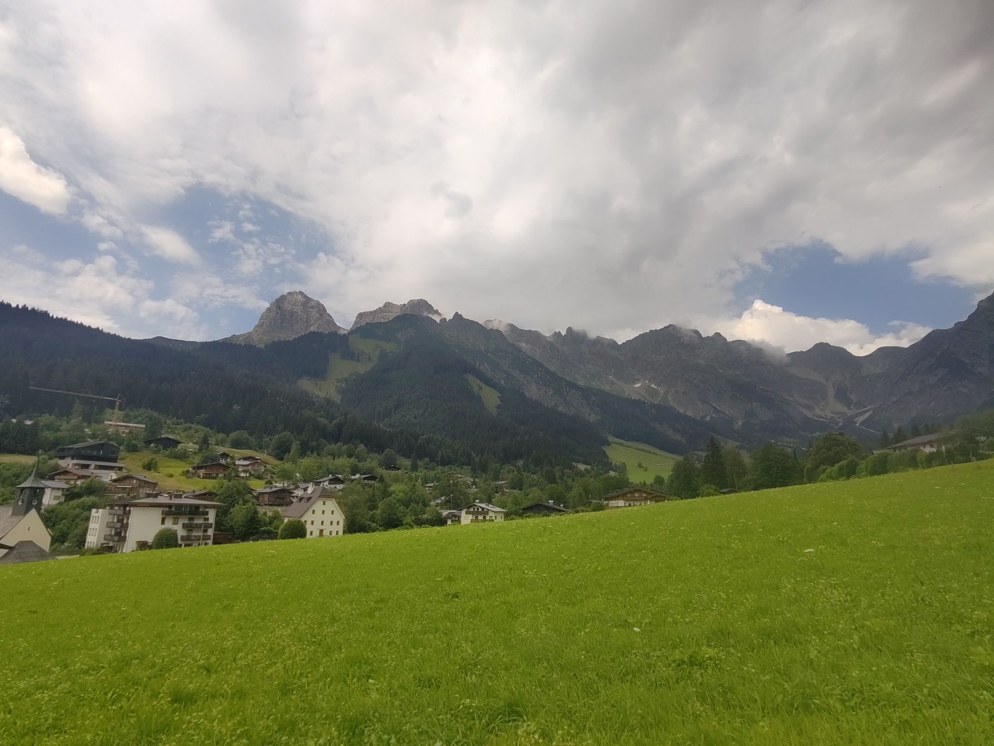
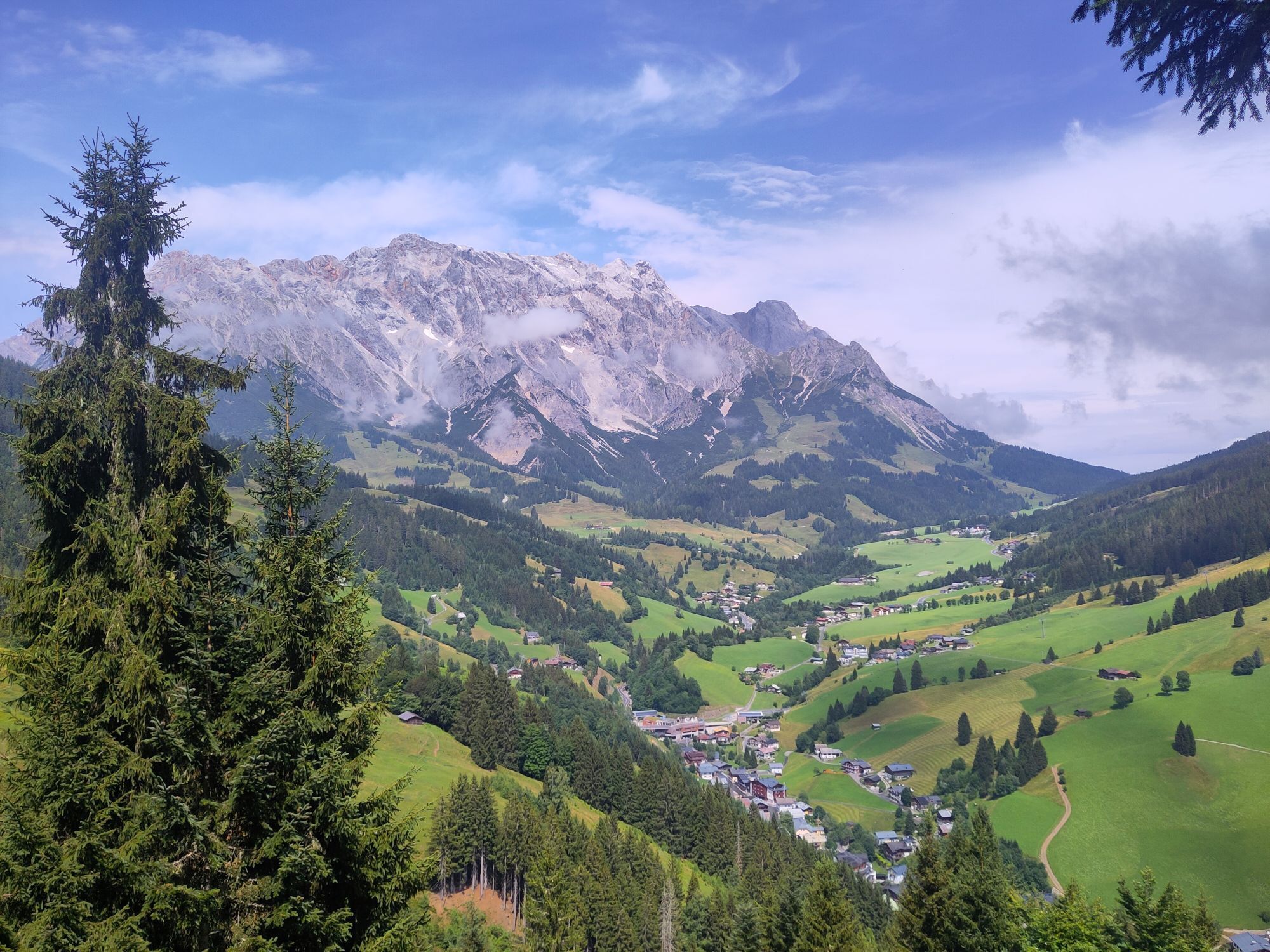
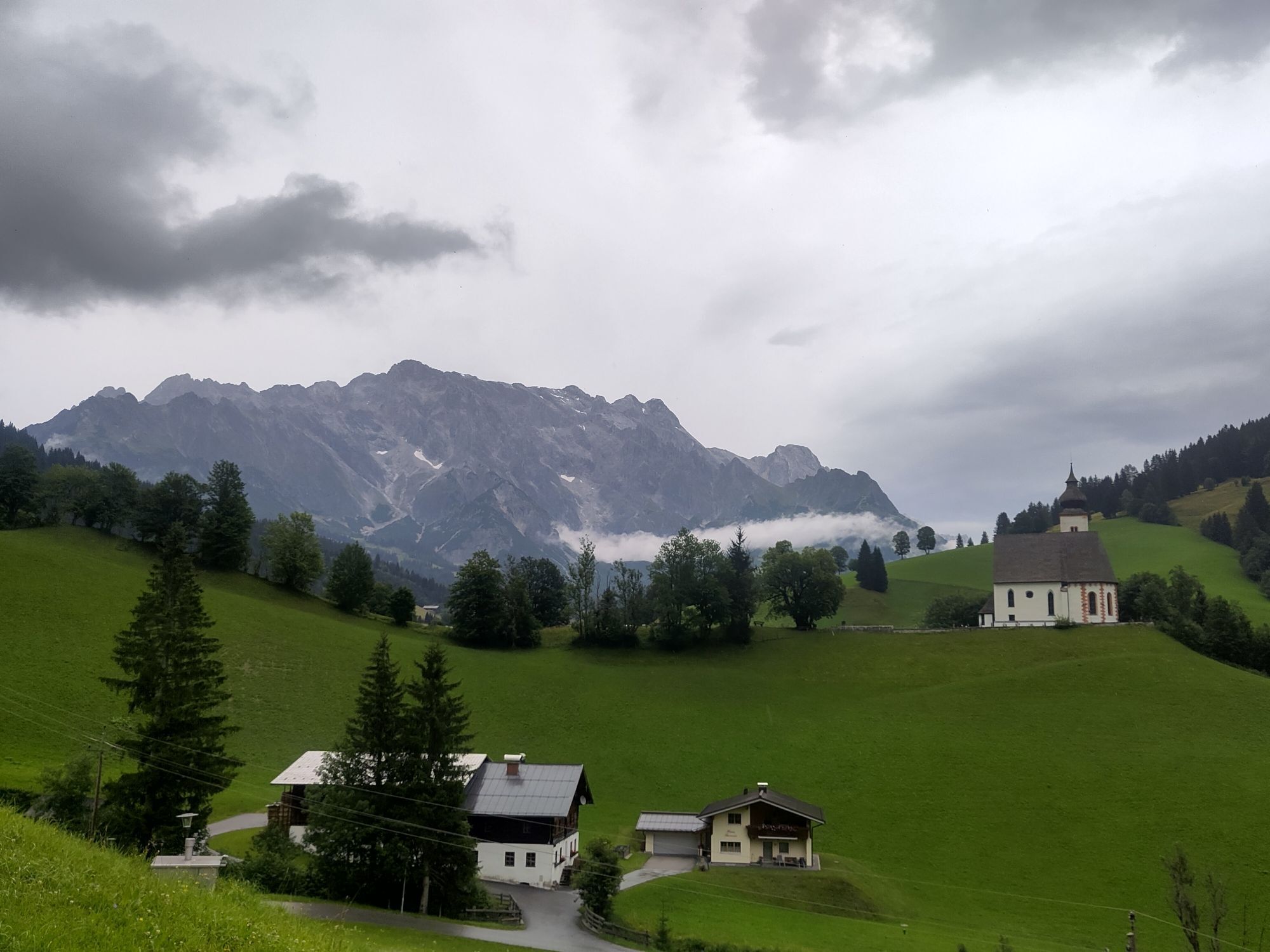
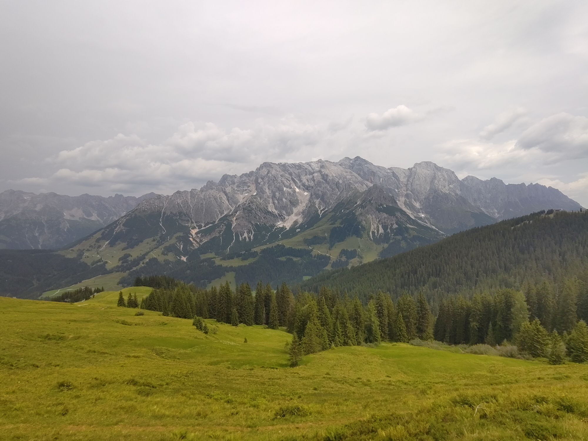
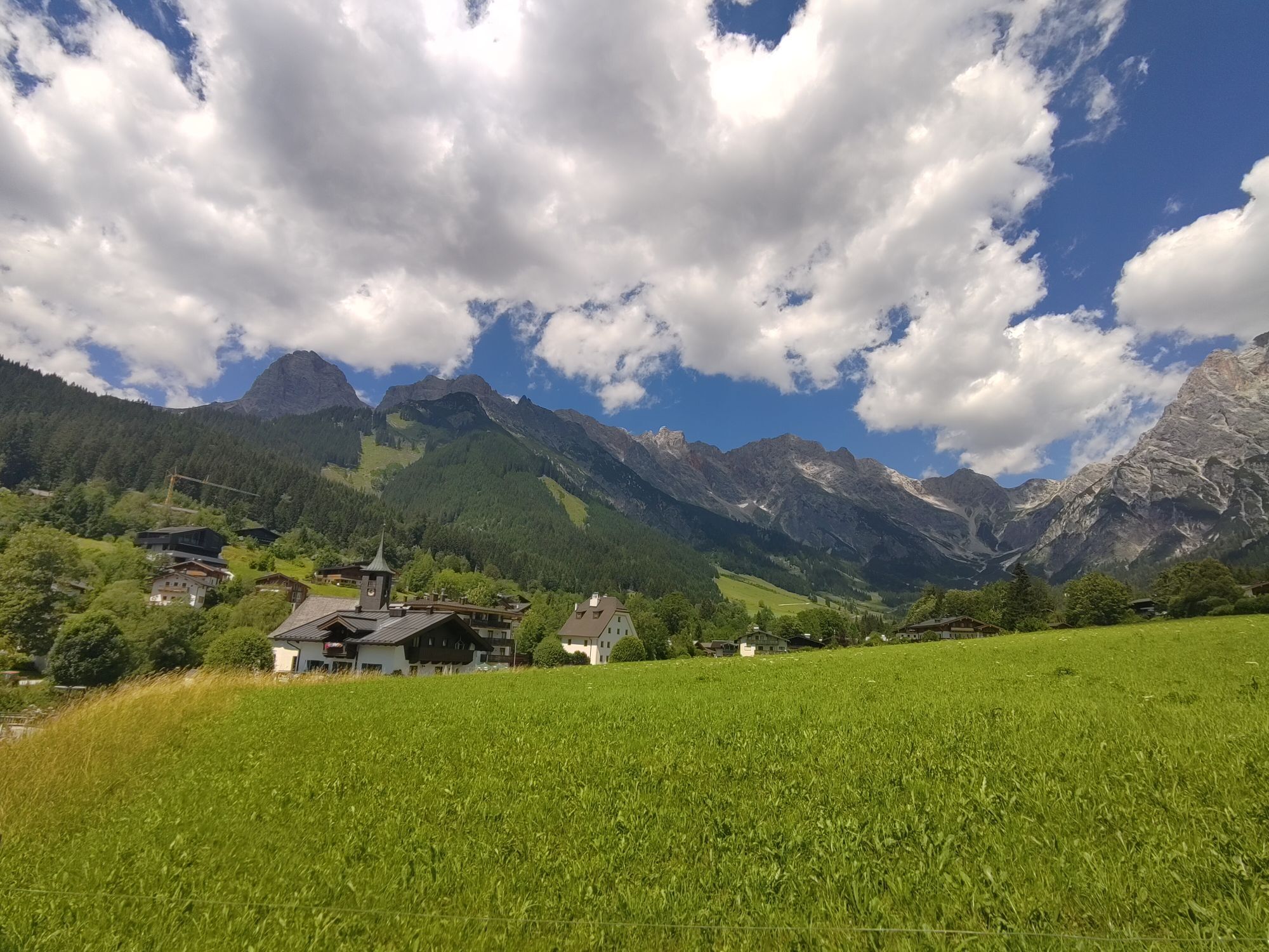
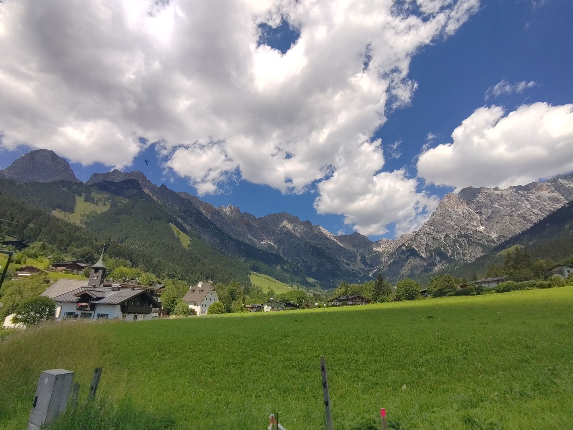
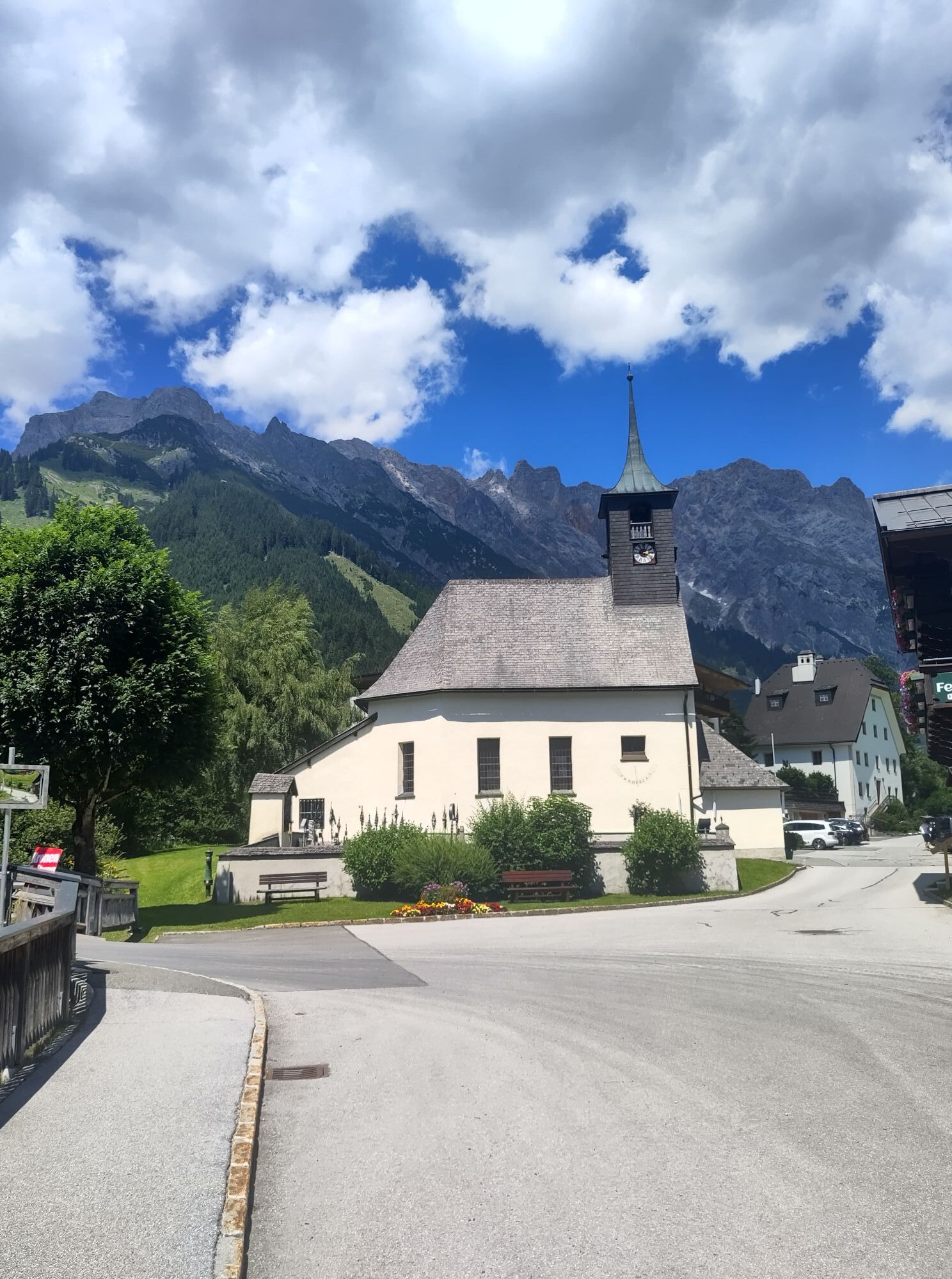
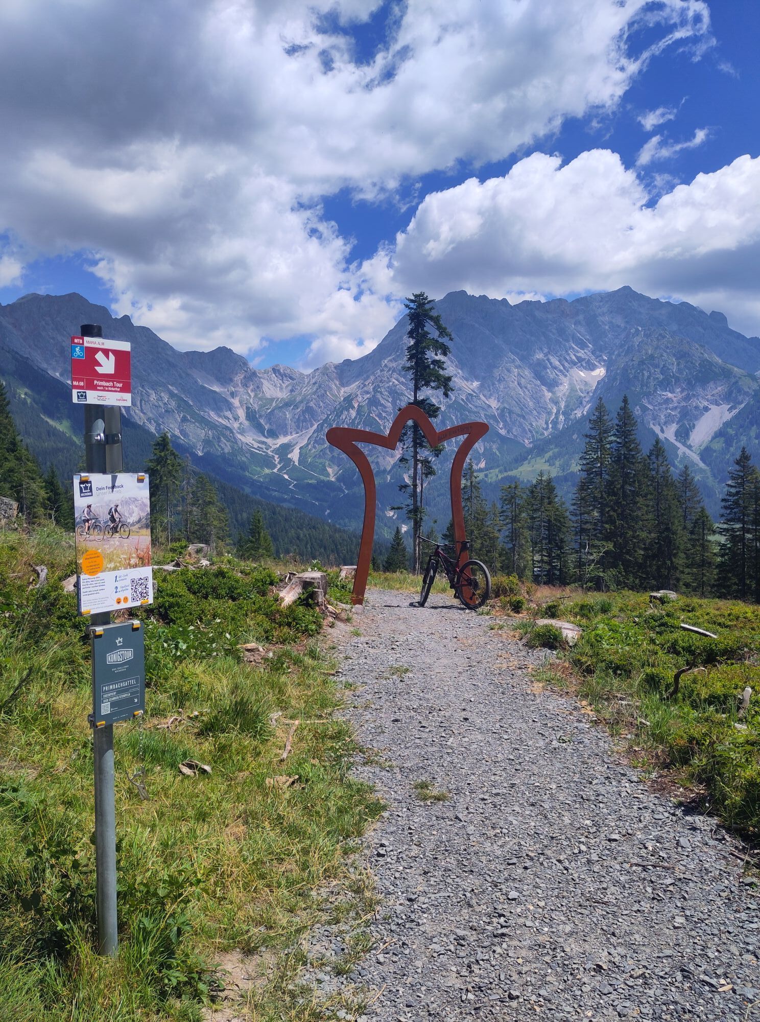

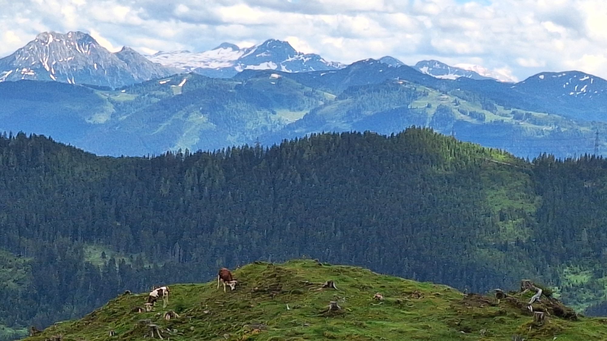
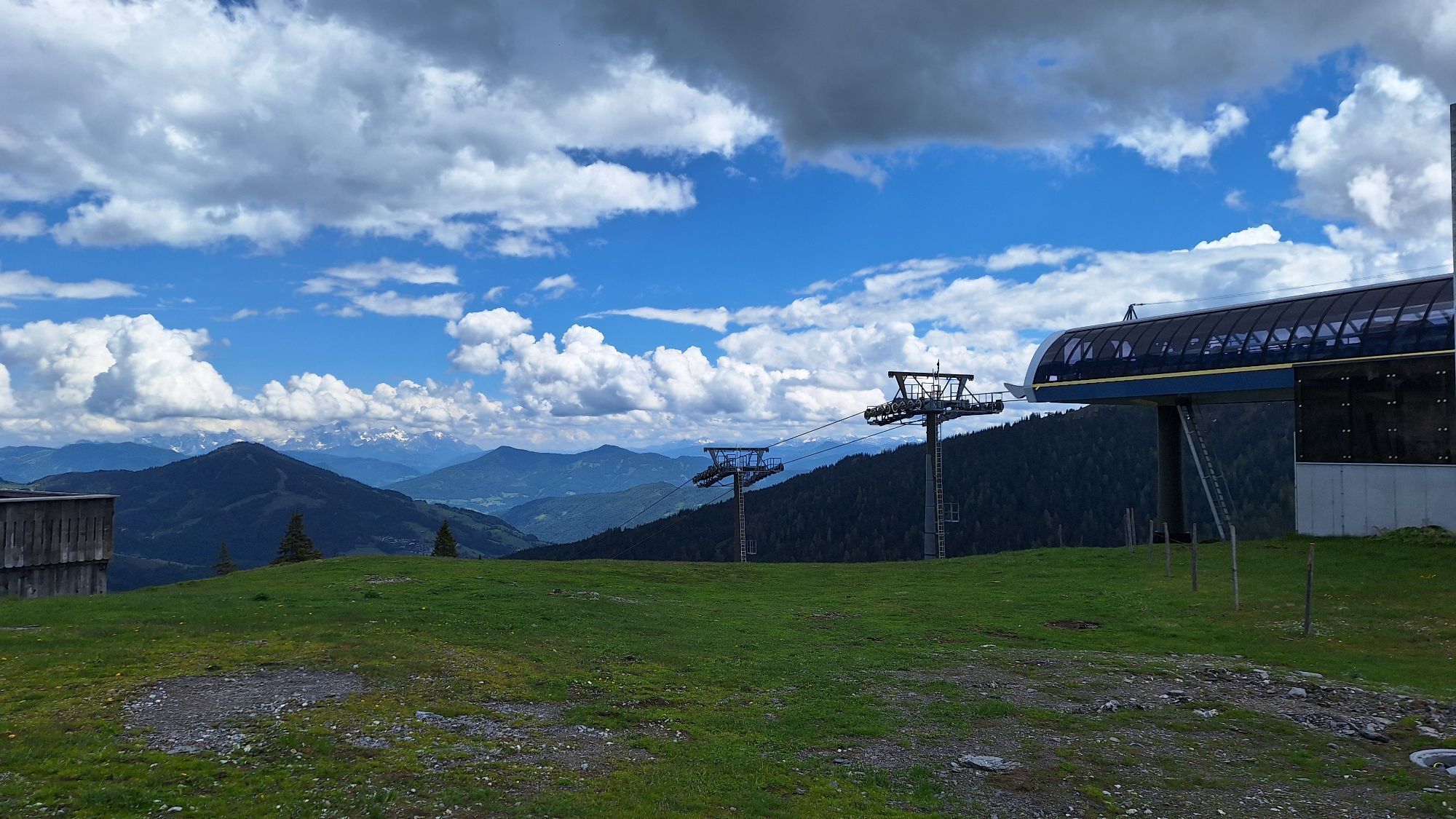
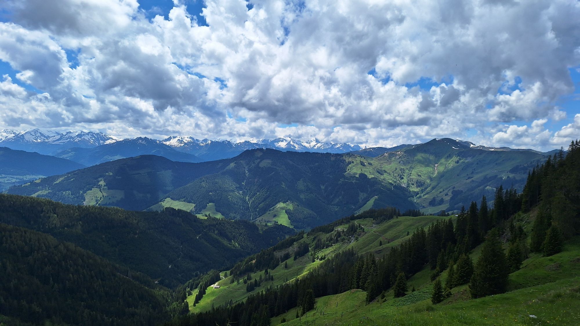
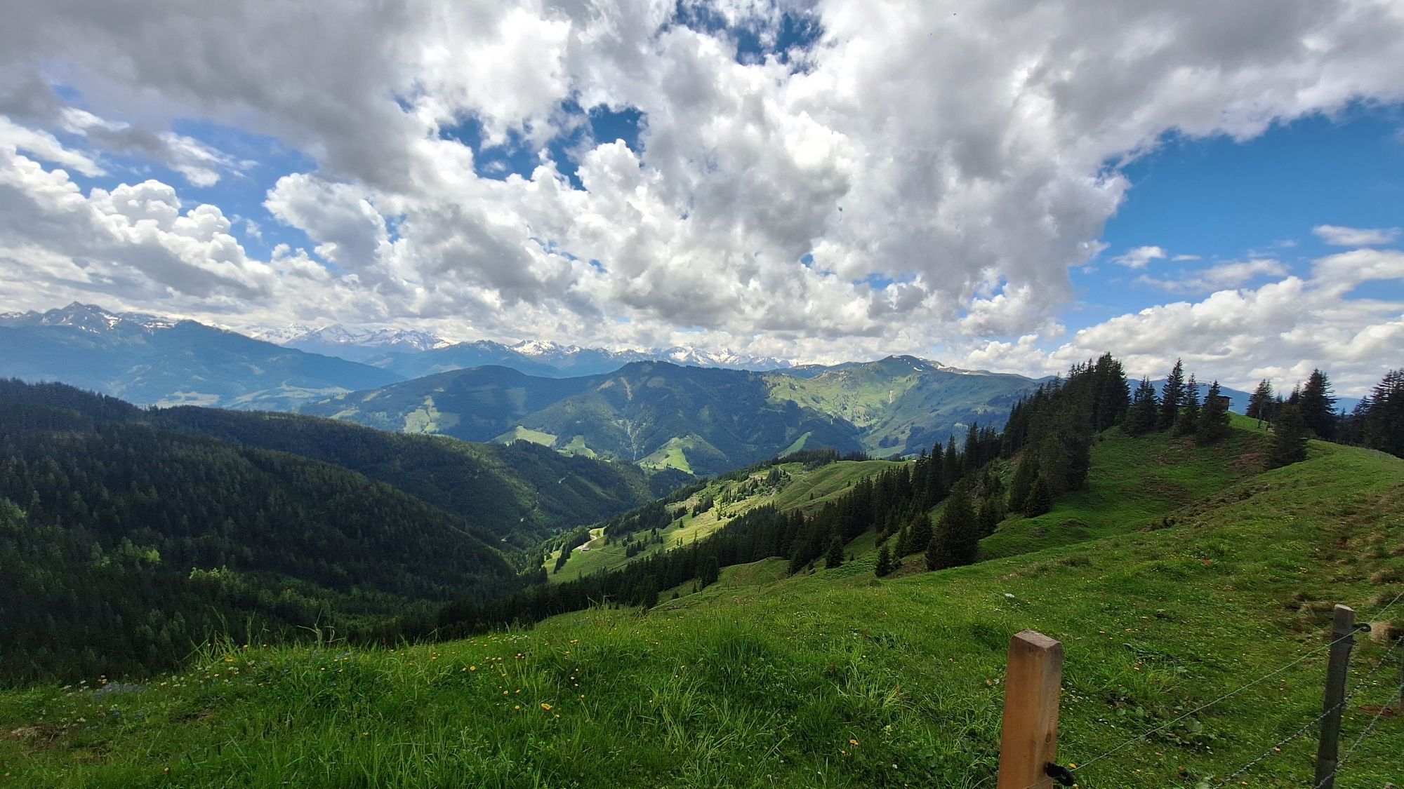
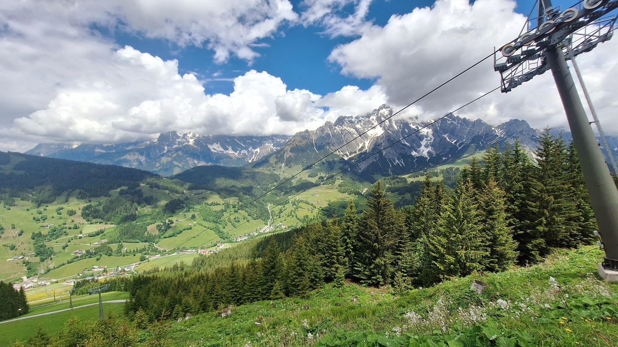
The ideal choice for ambitious bikers looking for a sporting challenge without giving up comfort and enjoyment. Experience the full variety of the Königstour - from steep climbs to flowing descents, embedded...
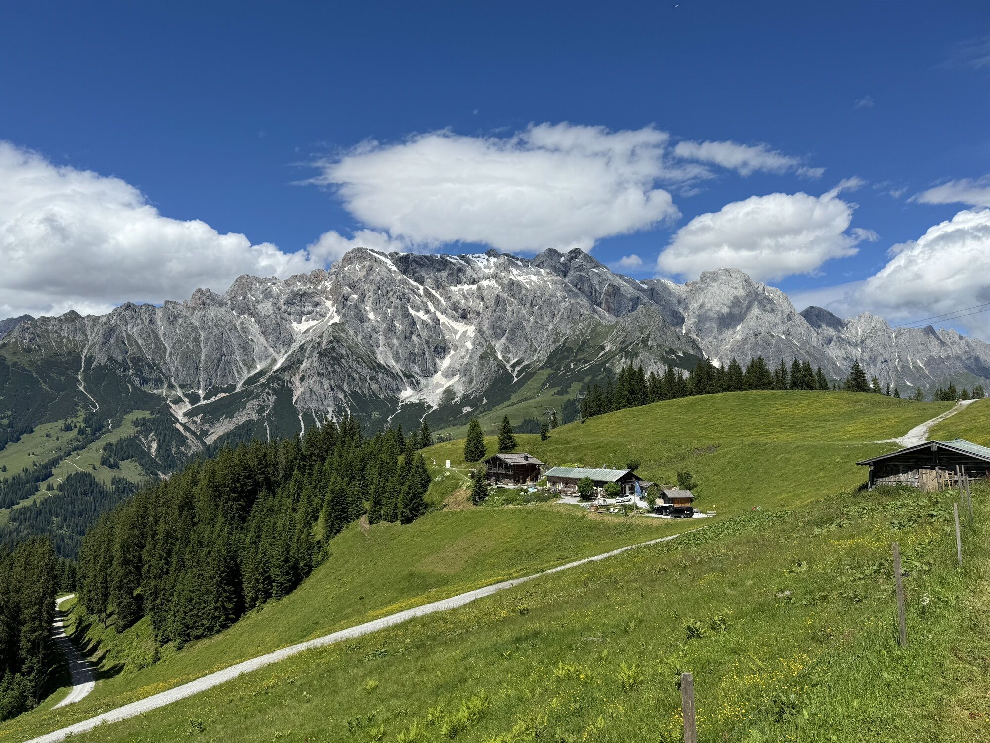
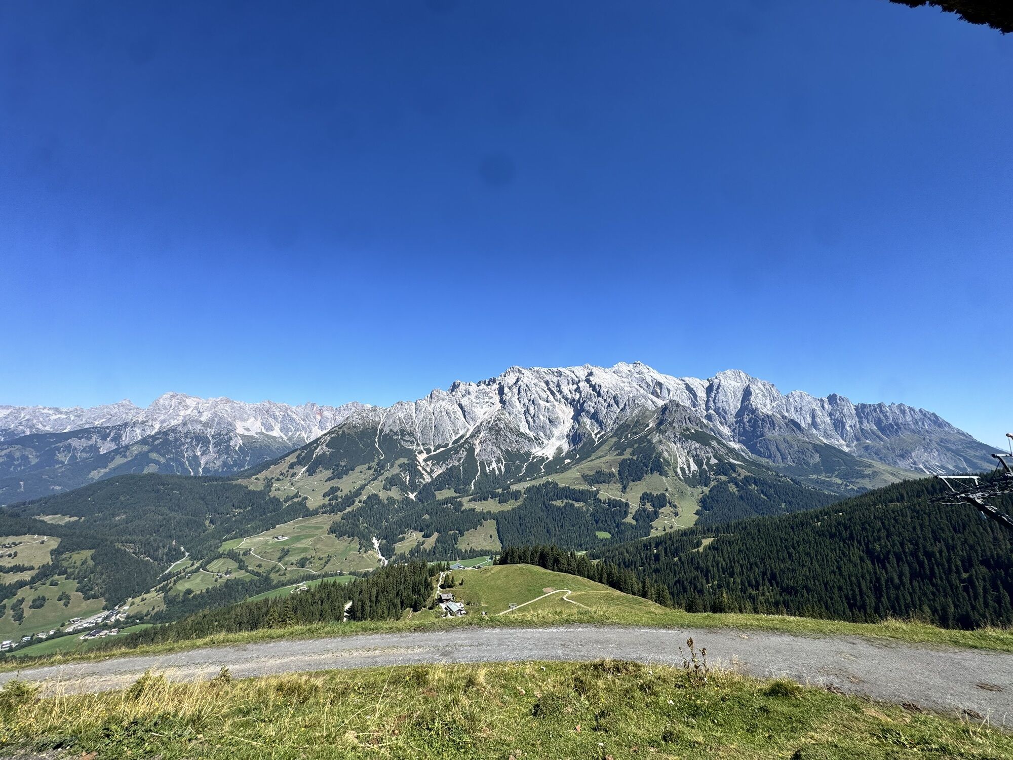
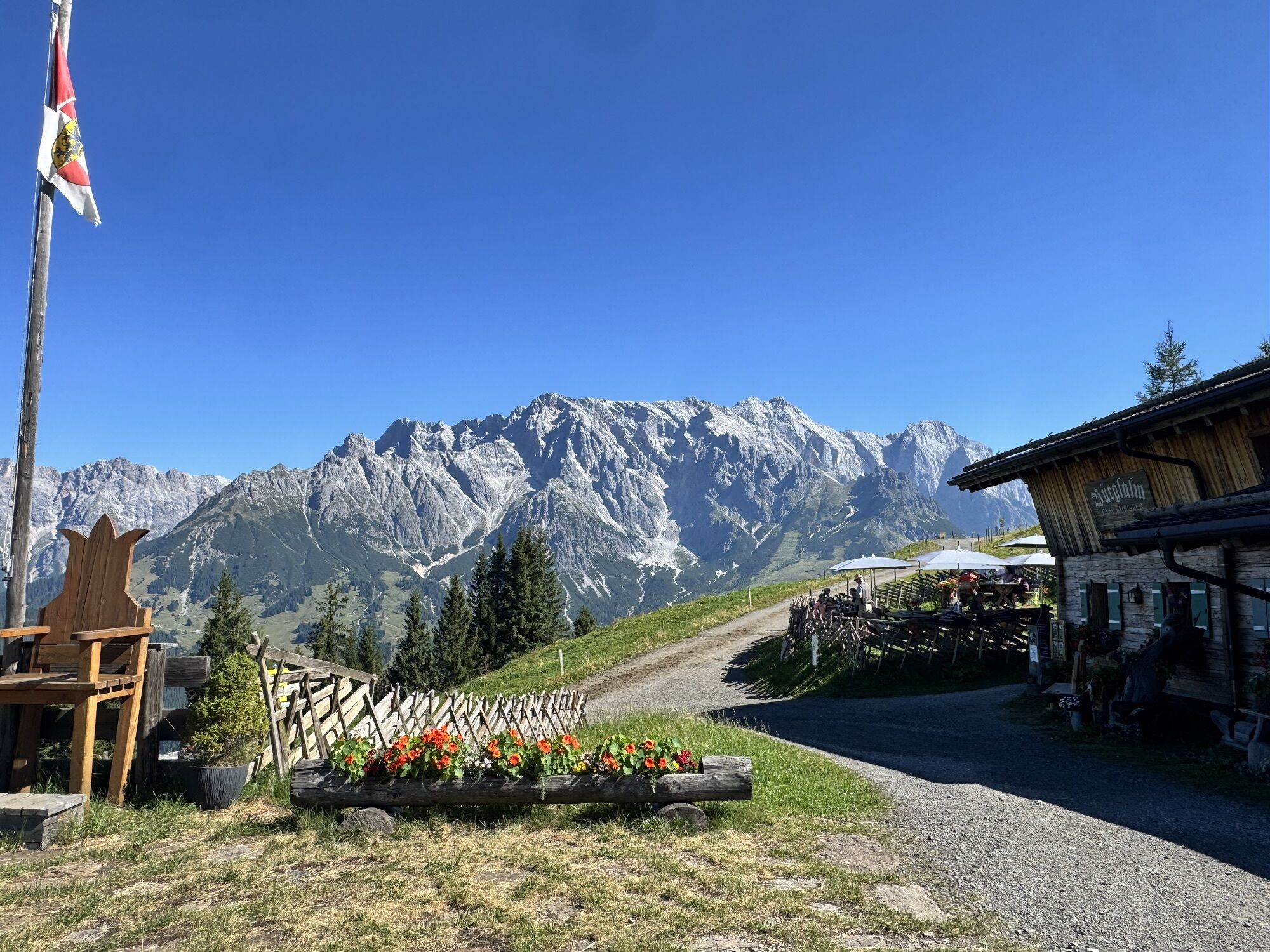
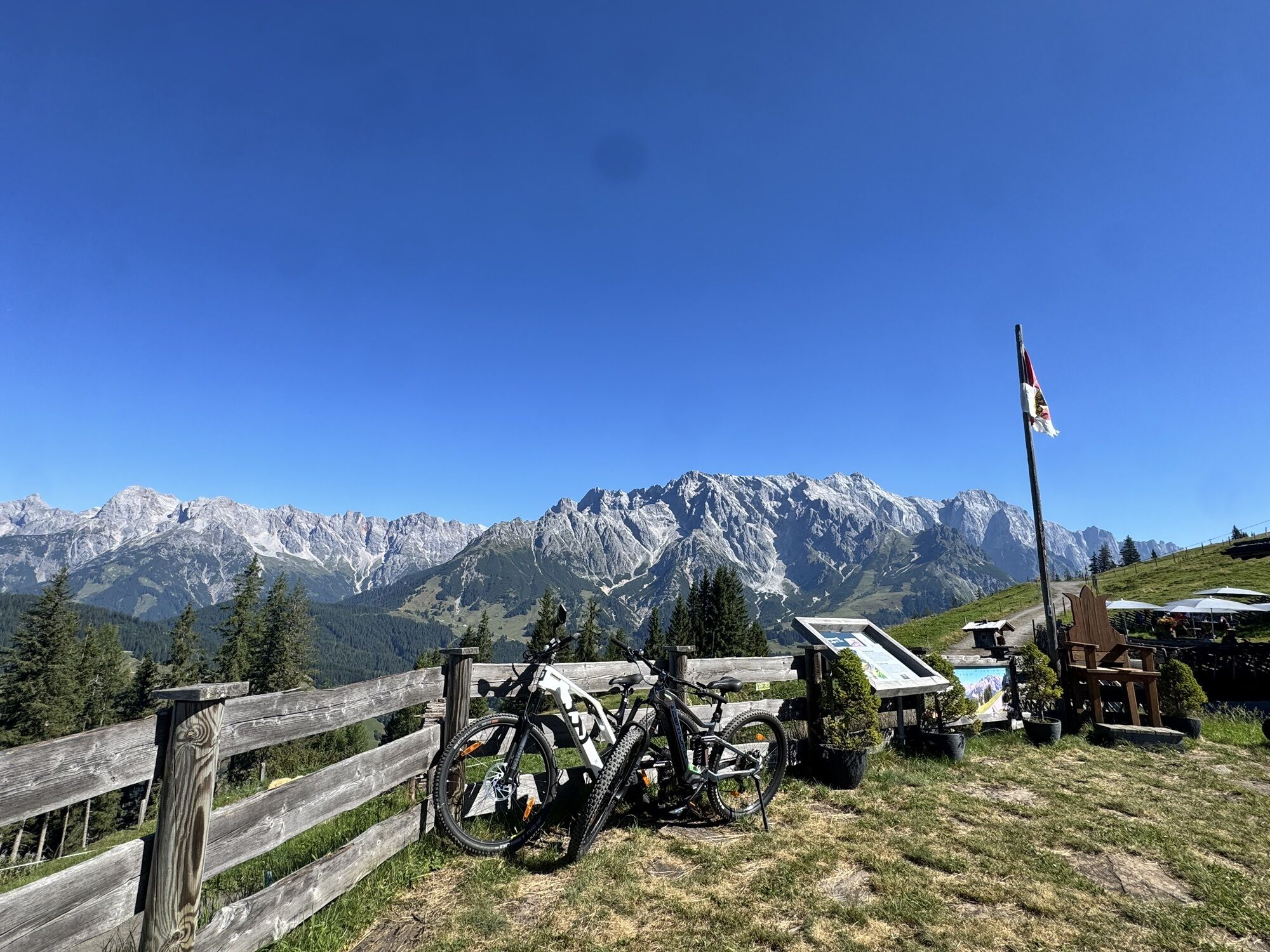
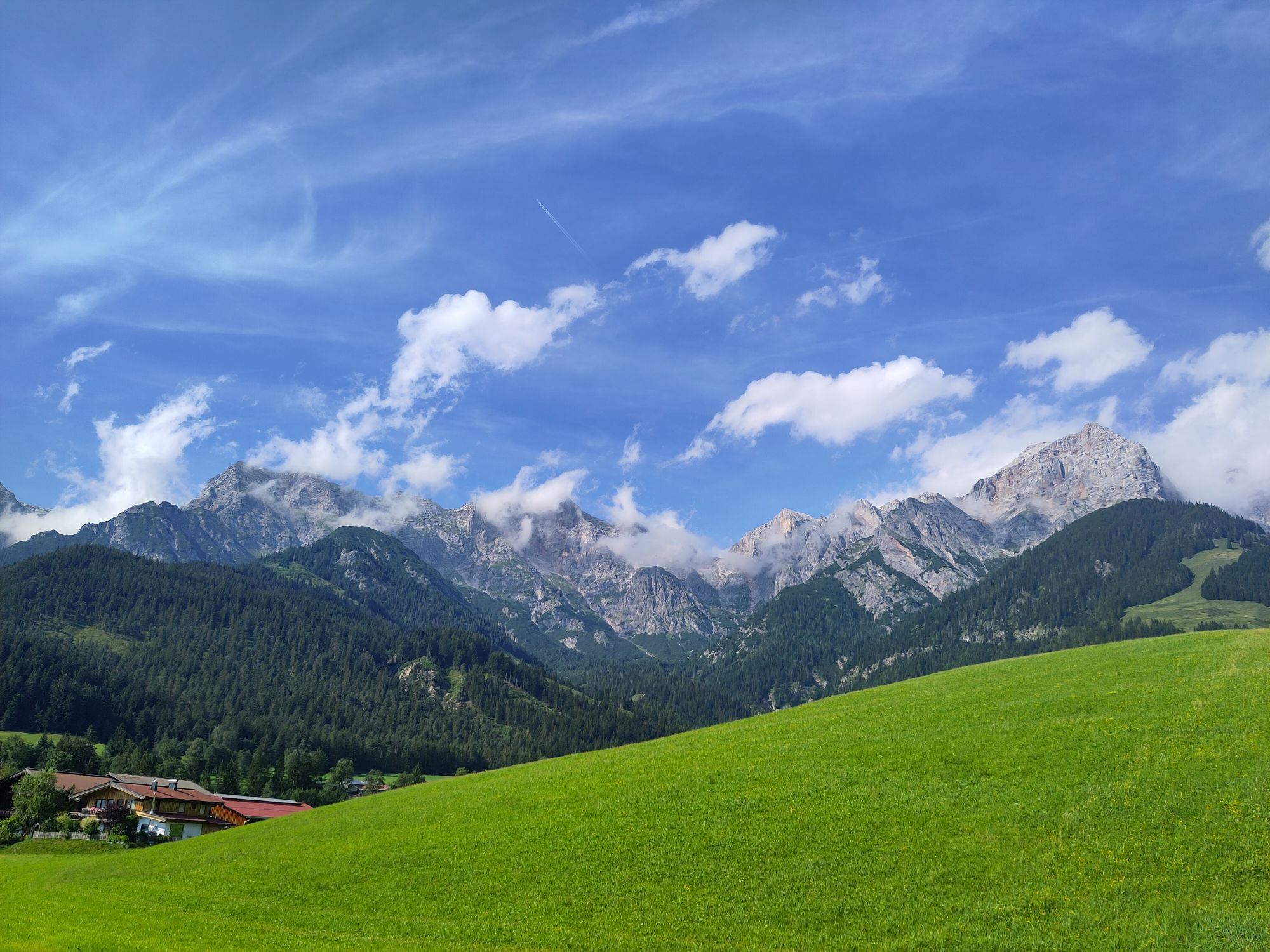
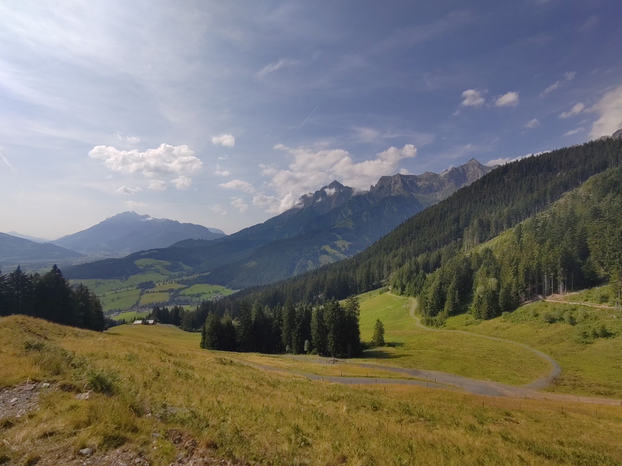
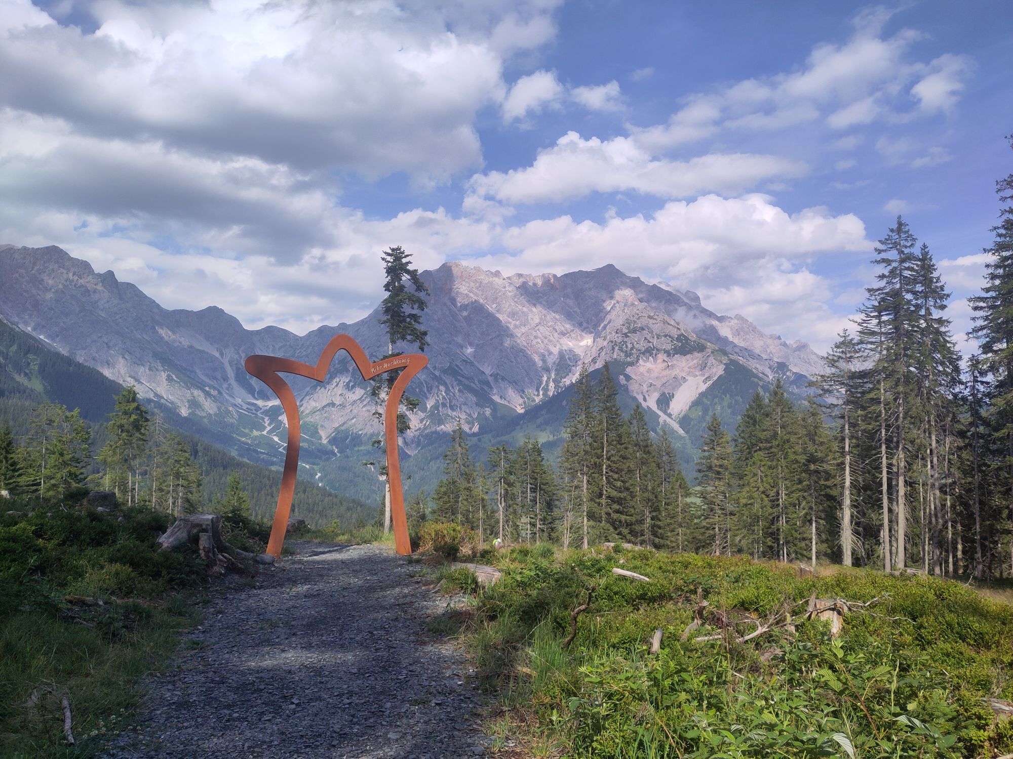
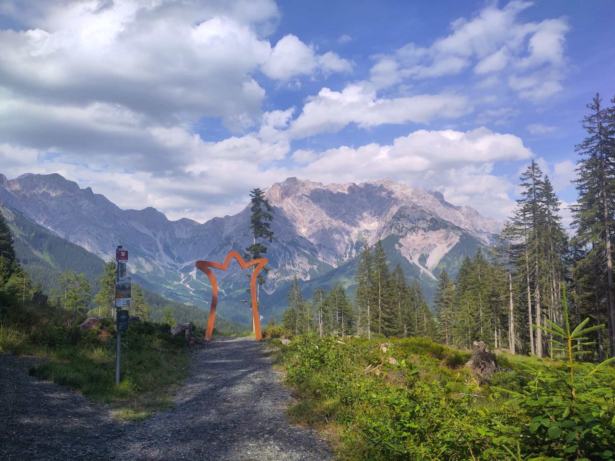
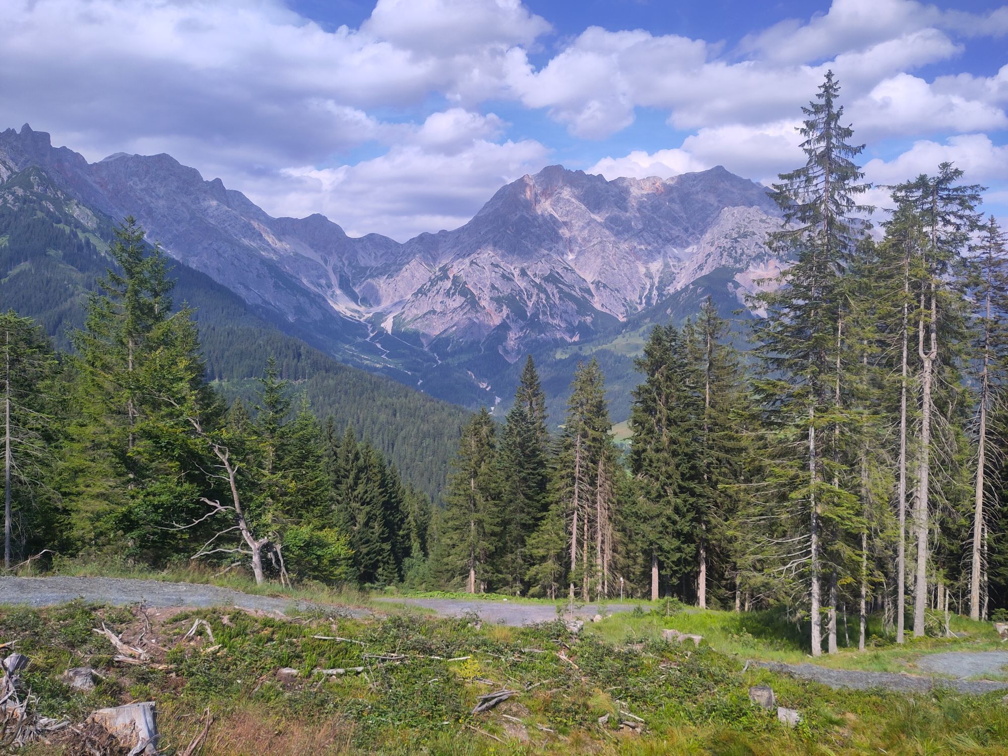
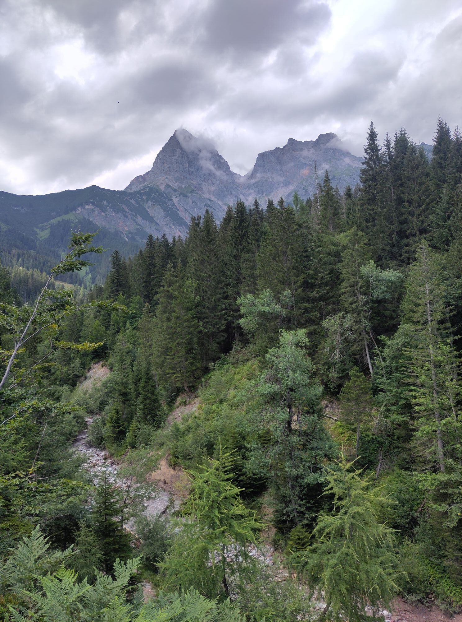
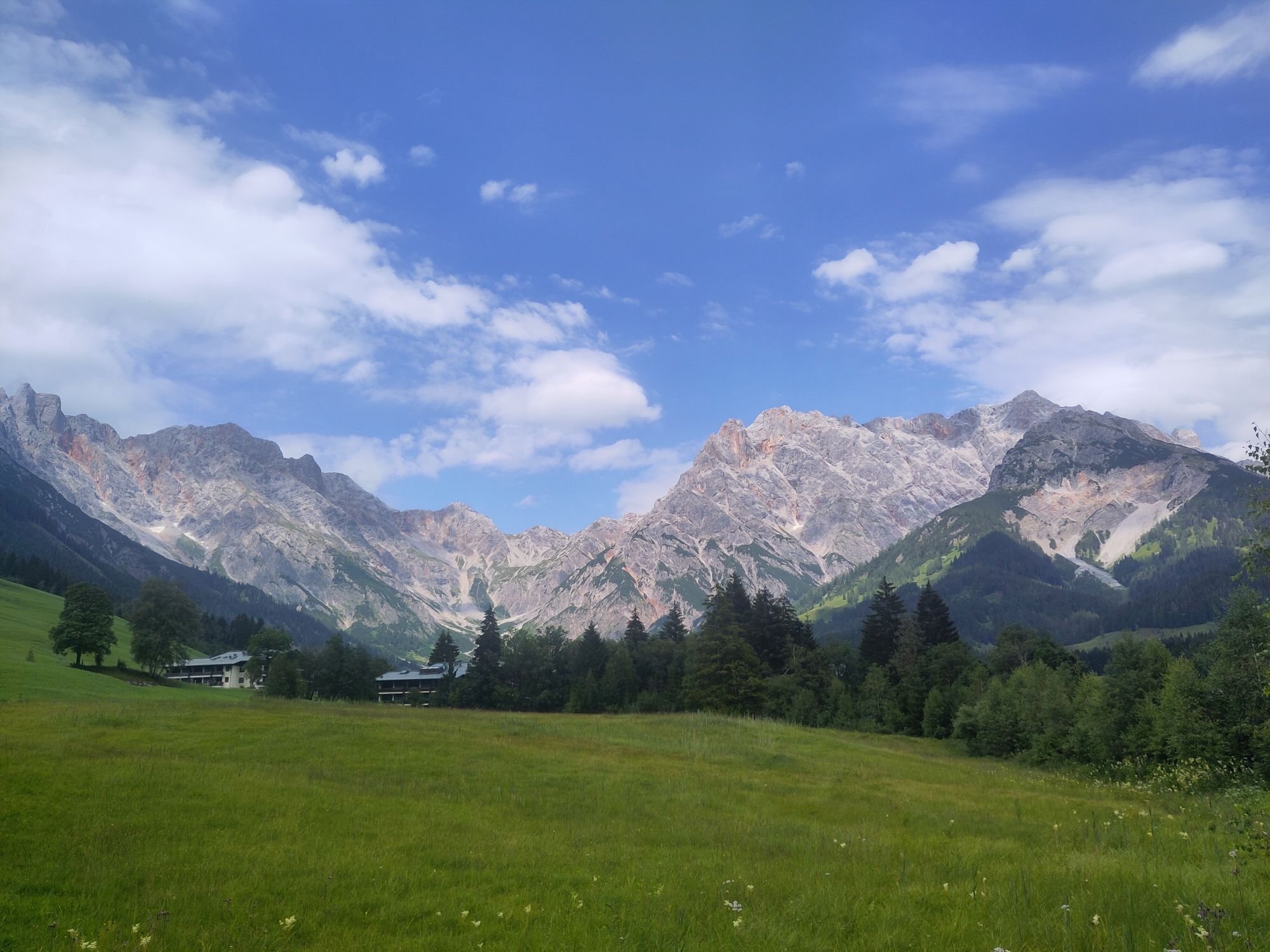
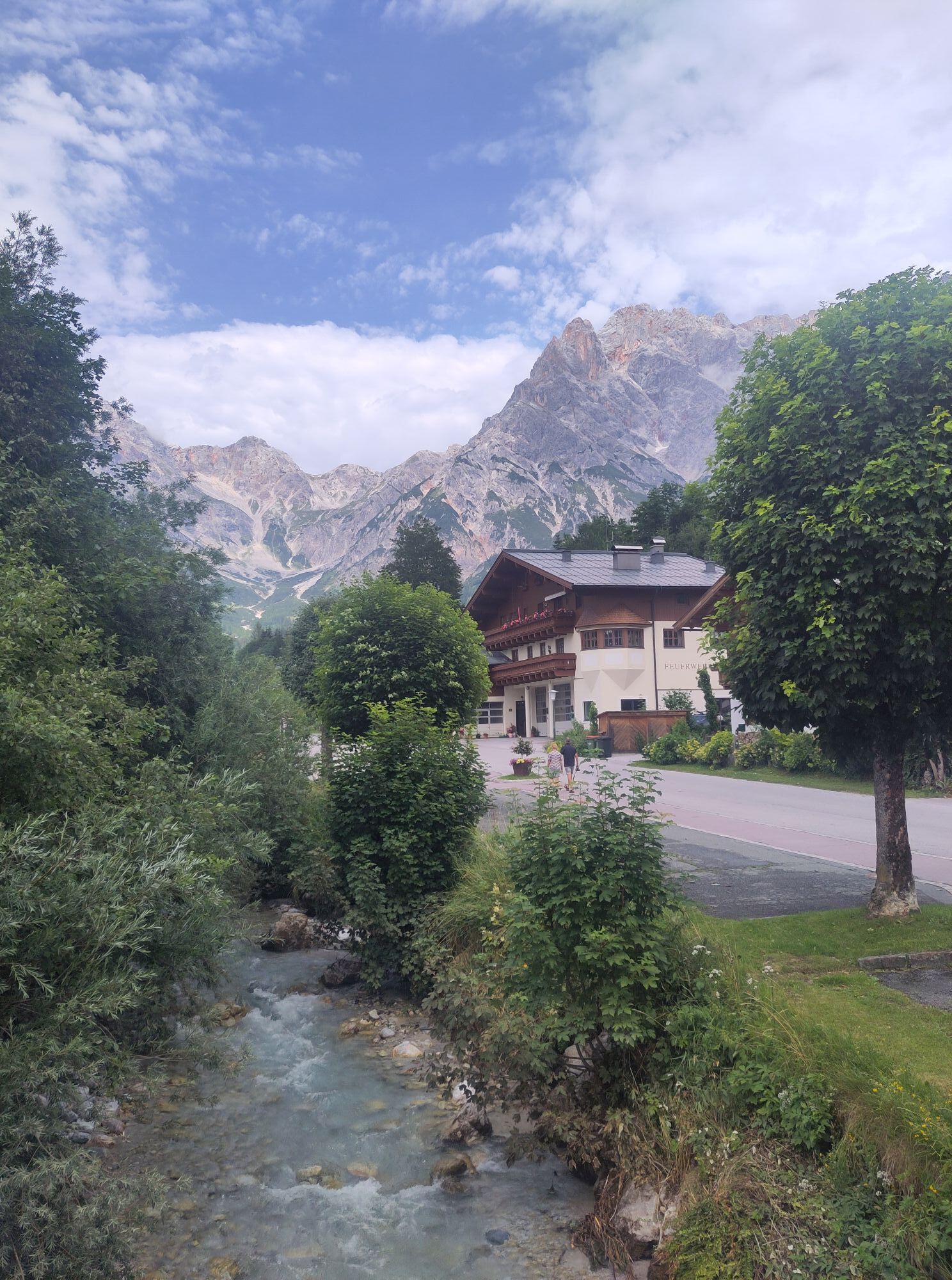
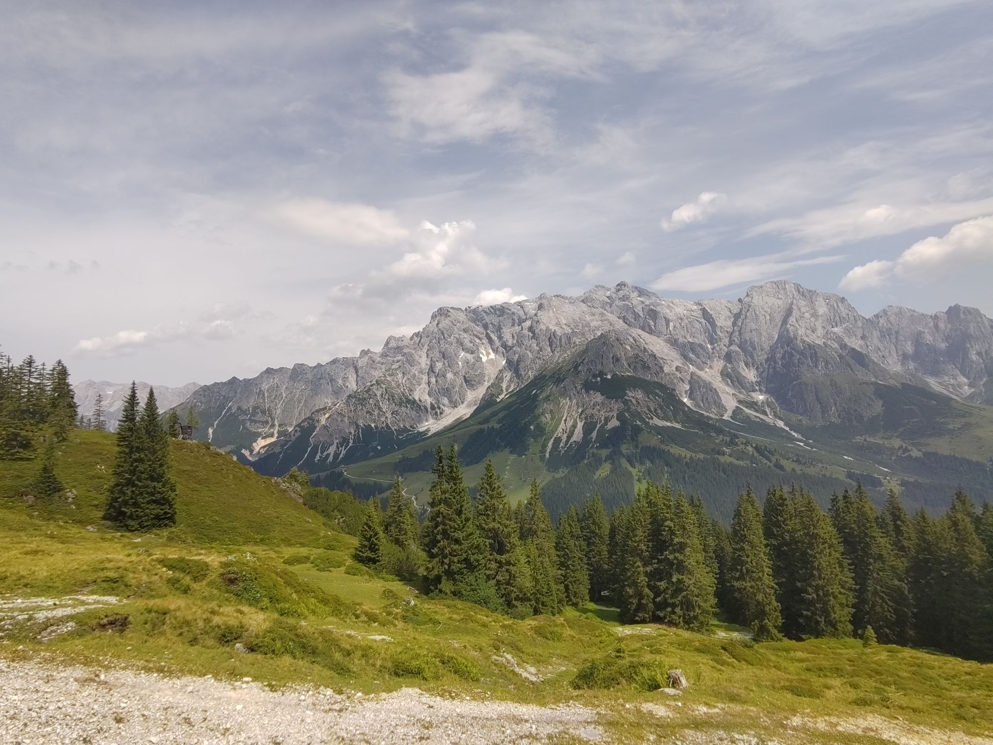
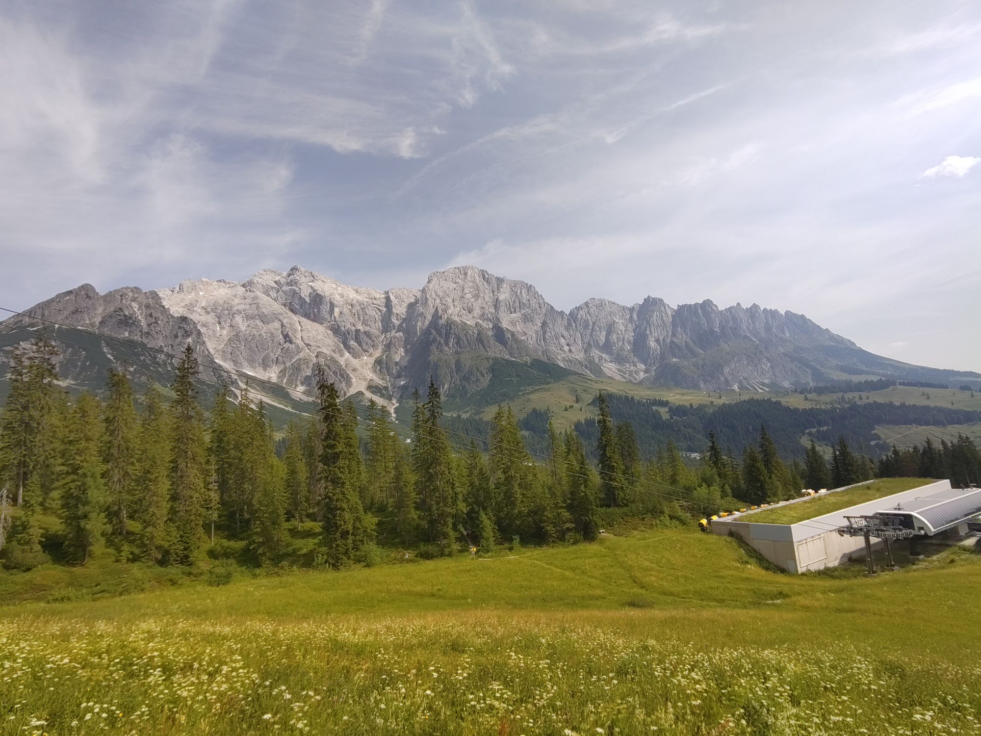
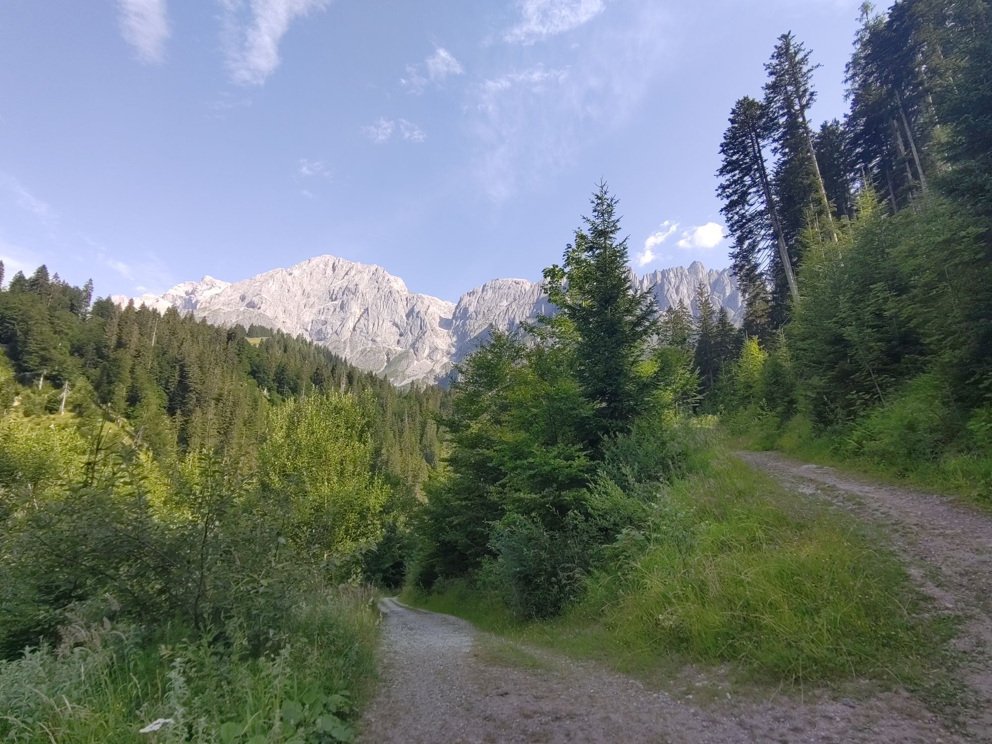
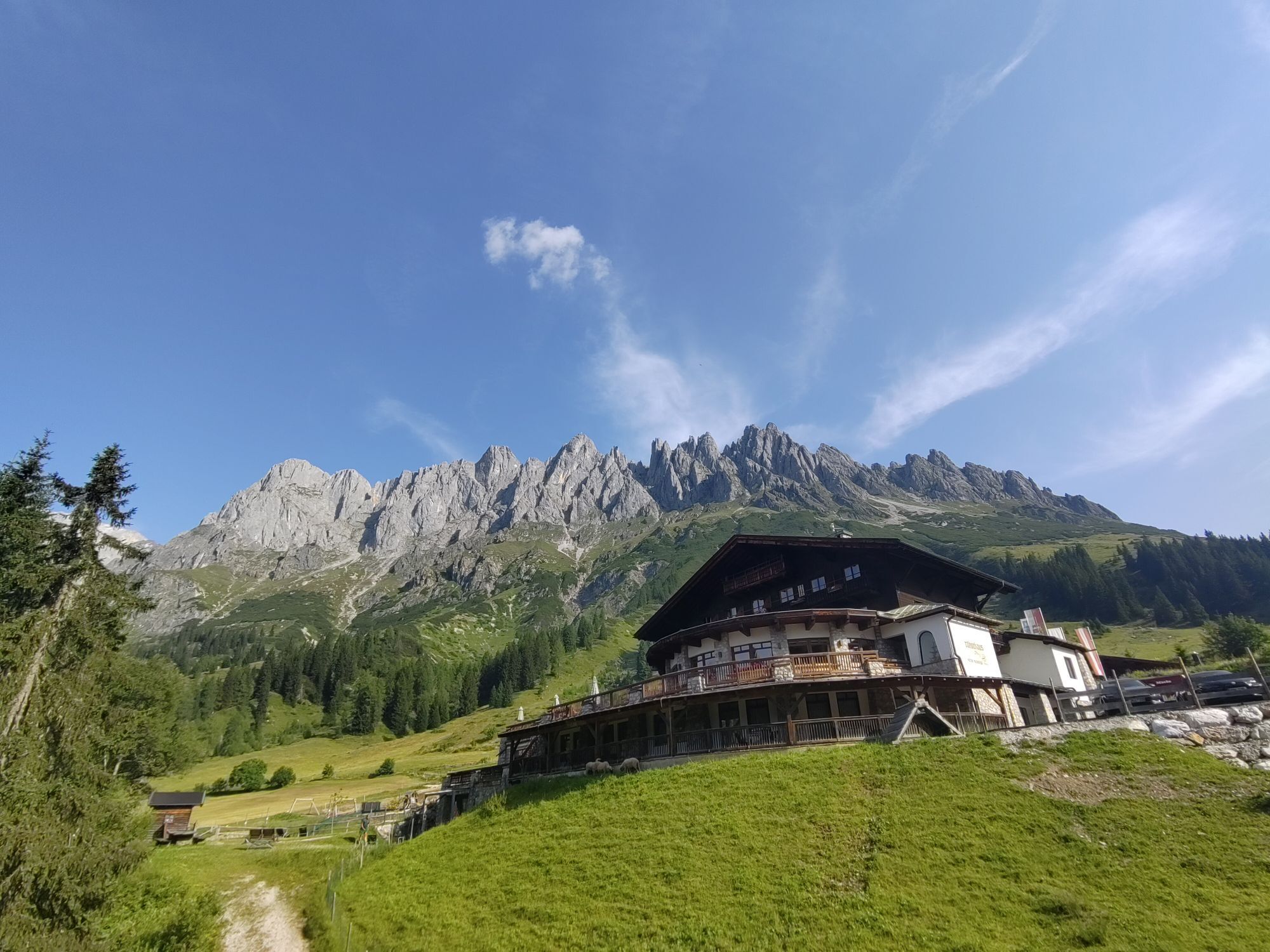
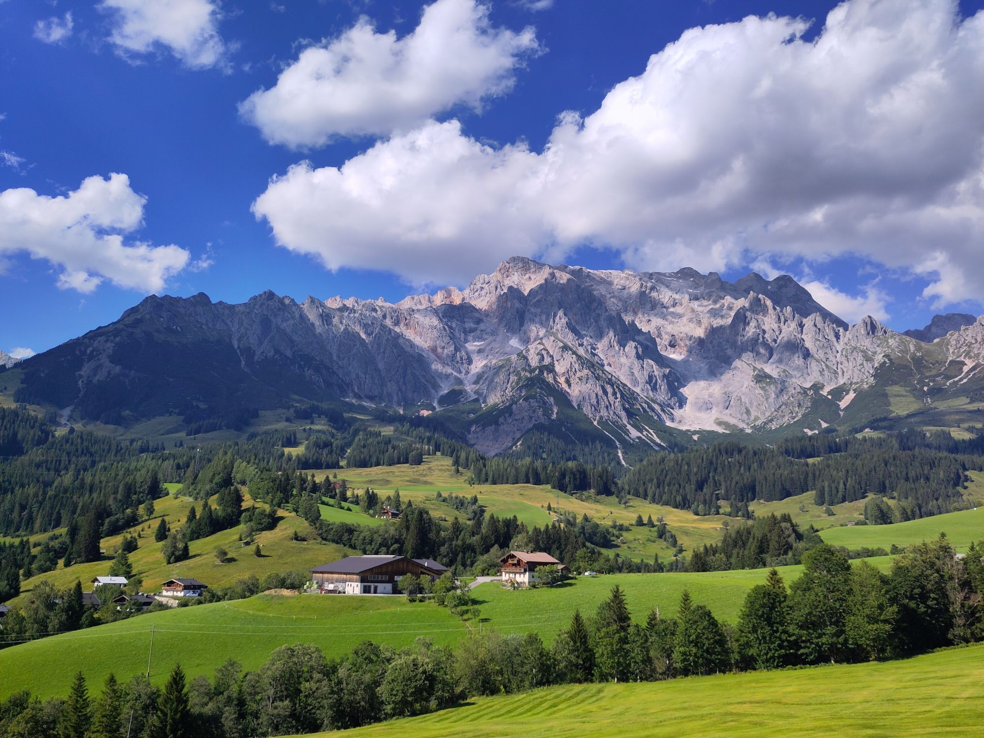
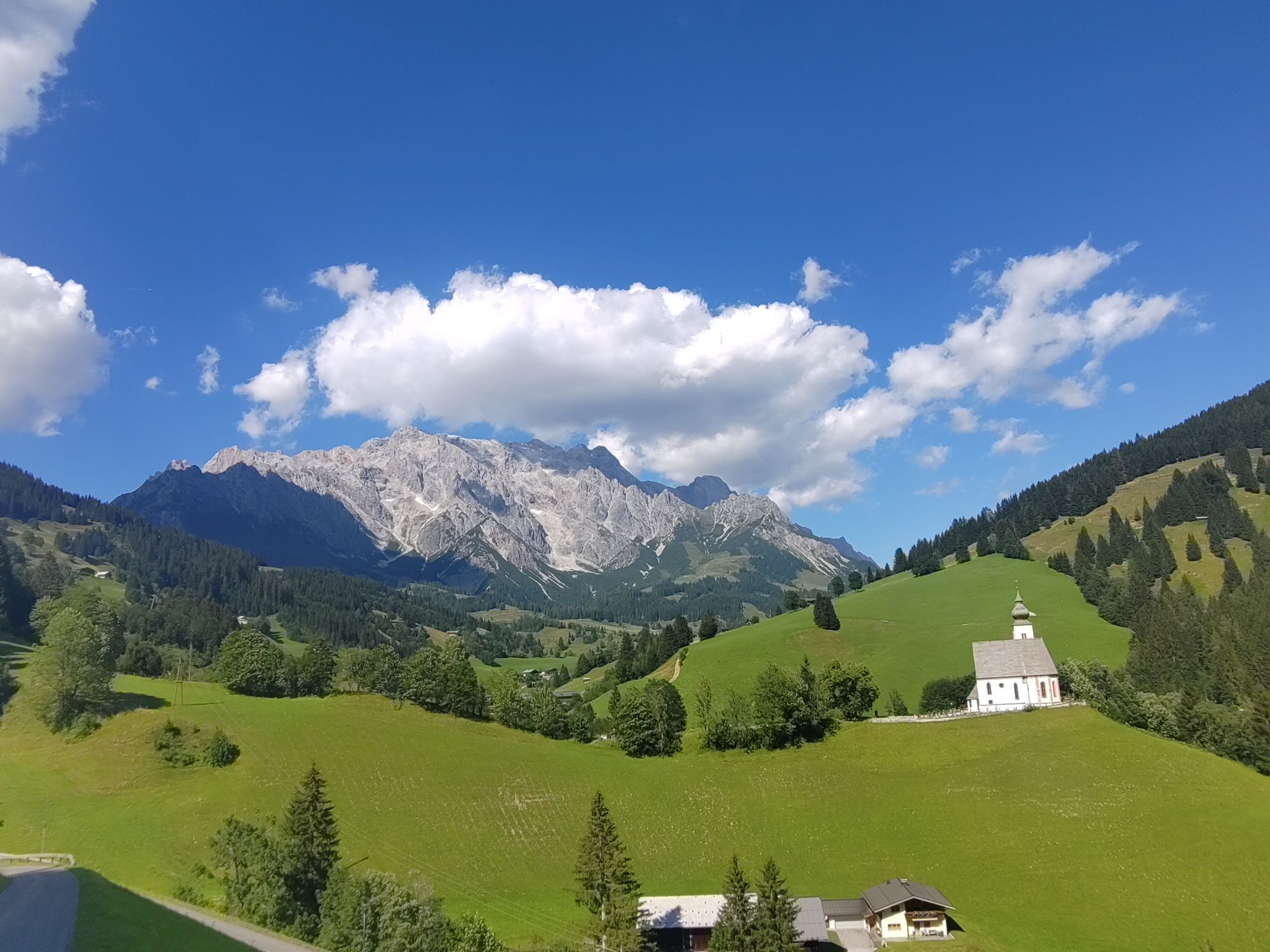
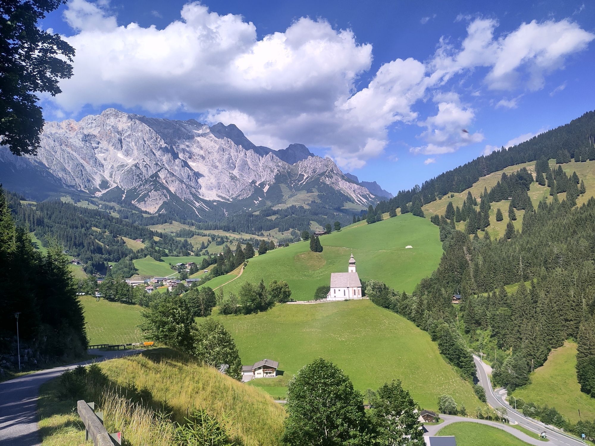
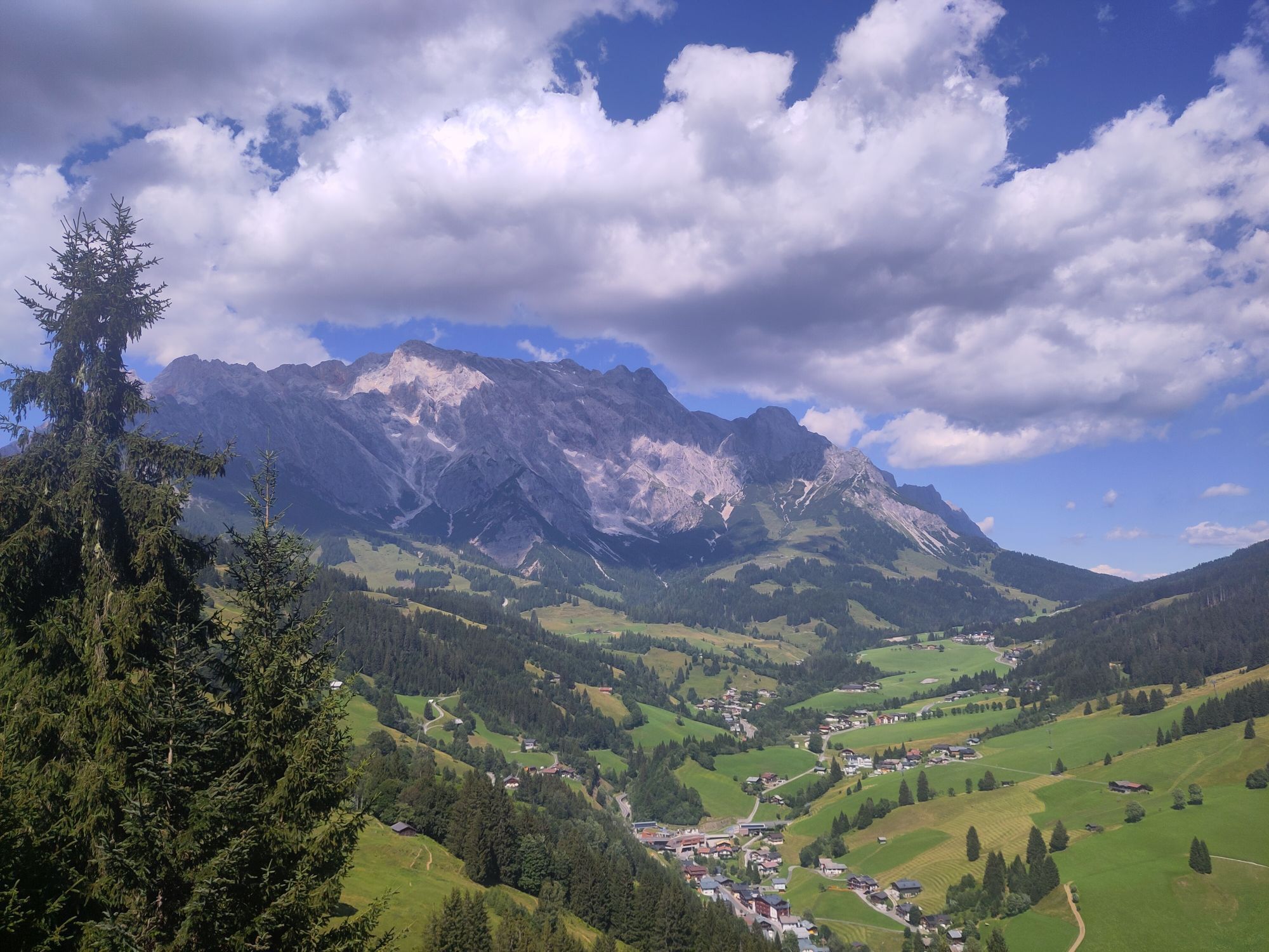
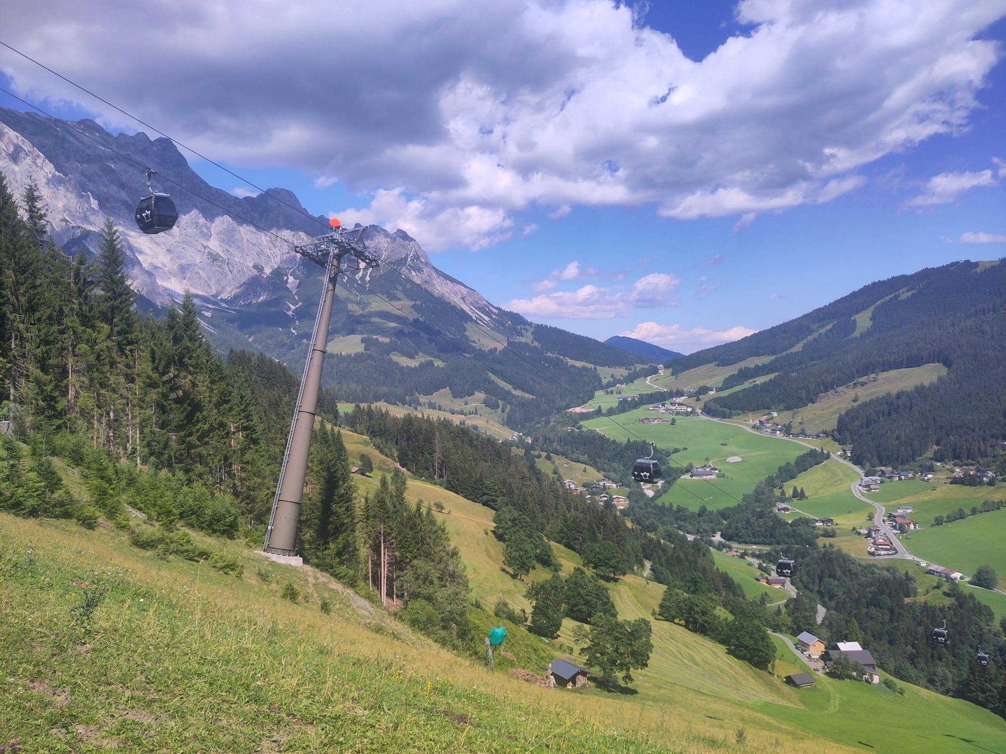
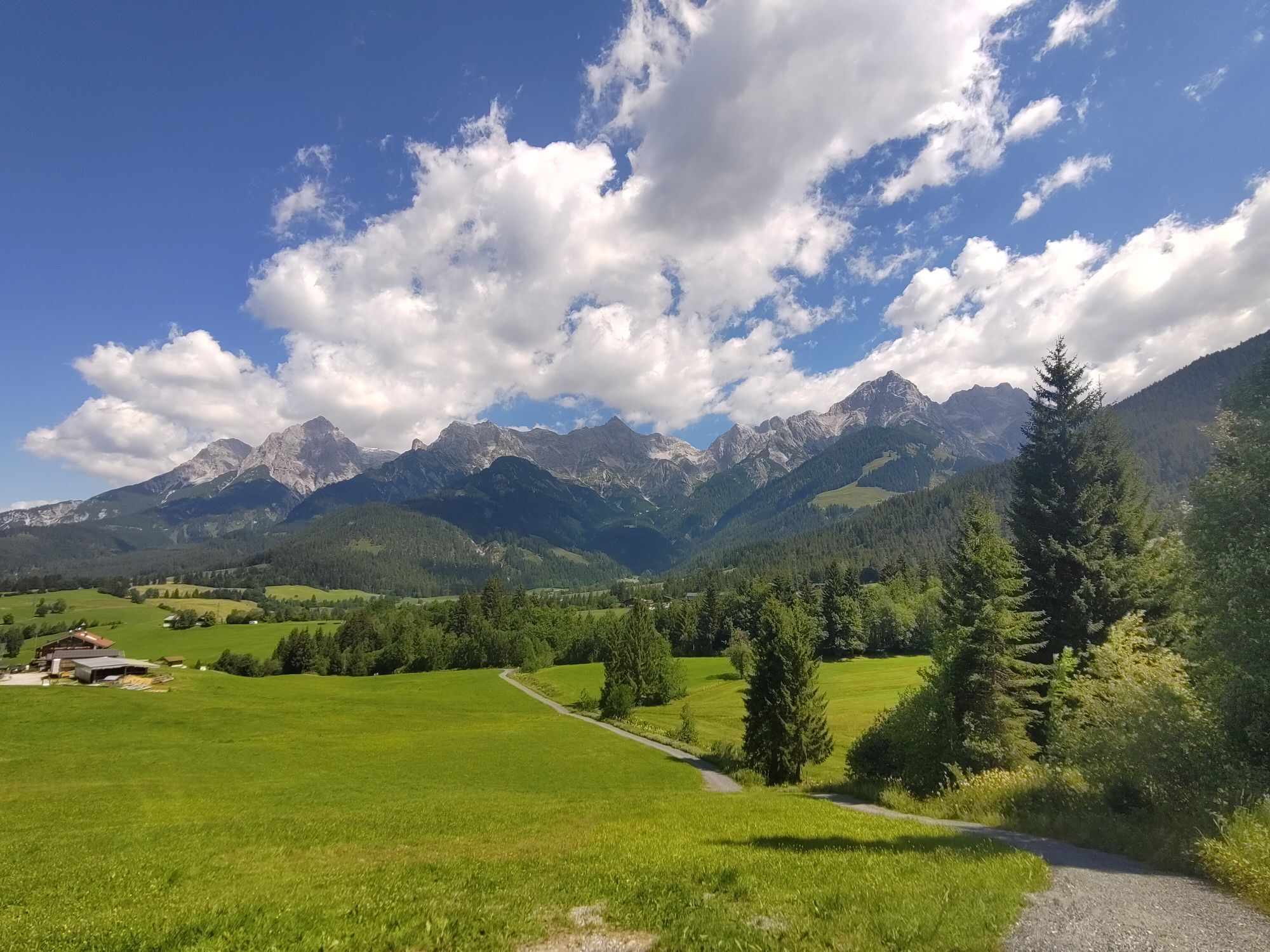
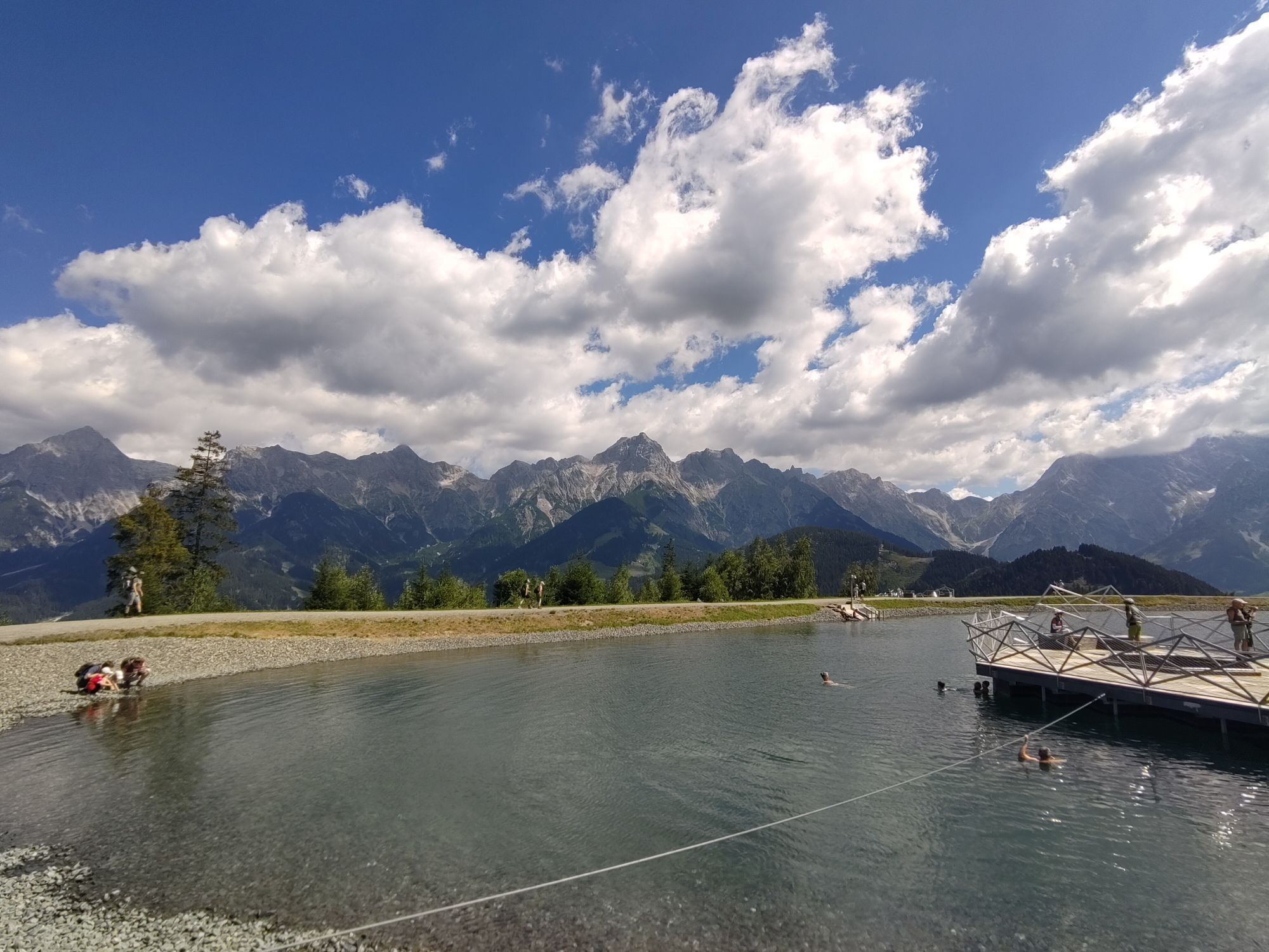
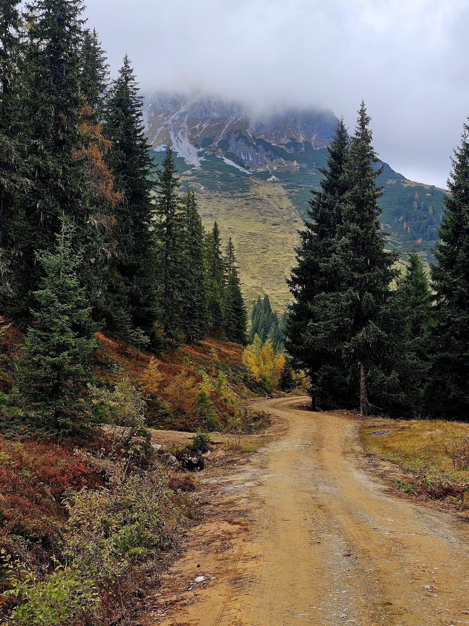
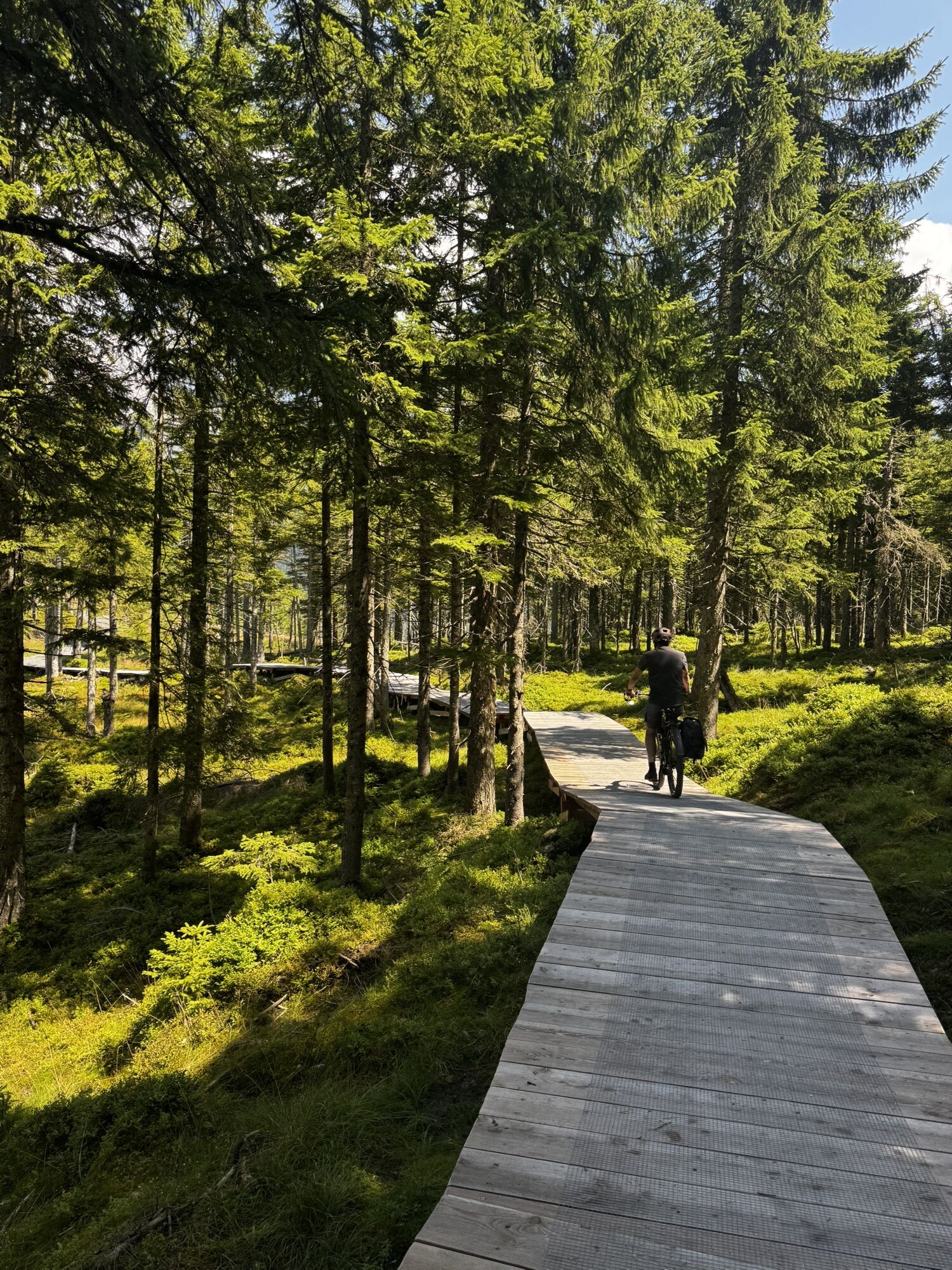
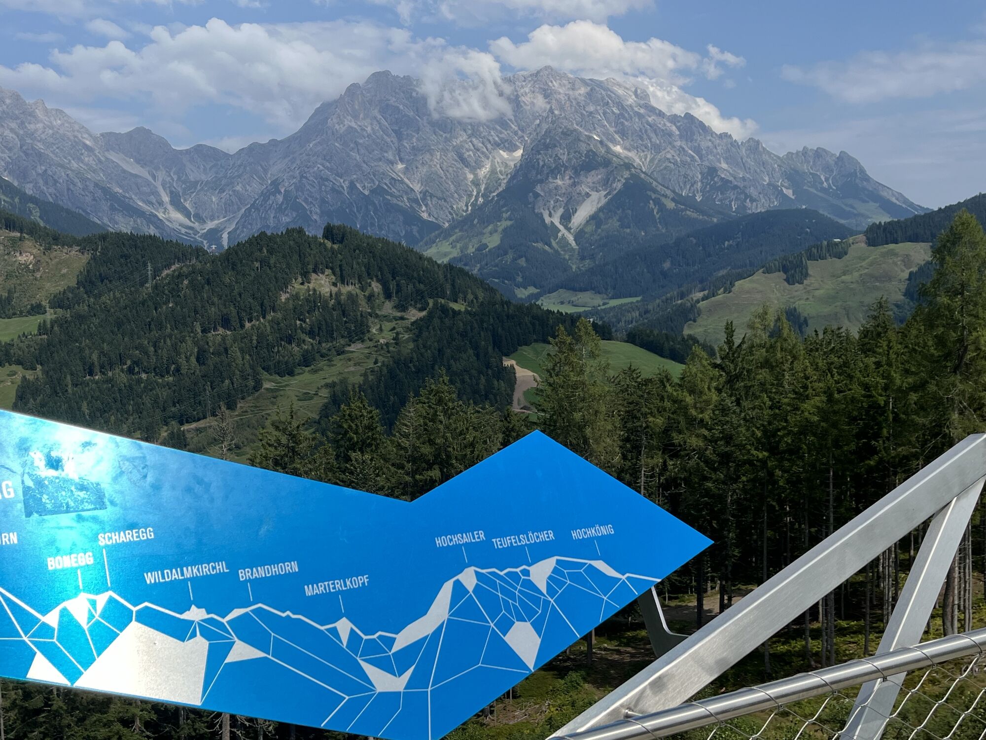
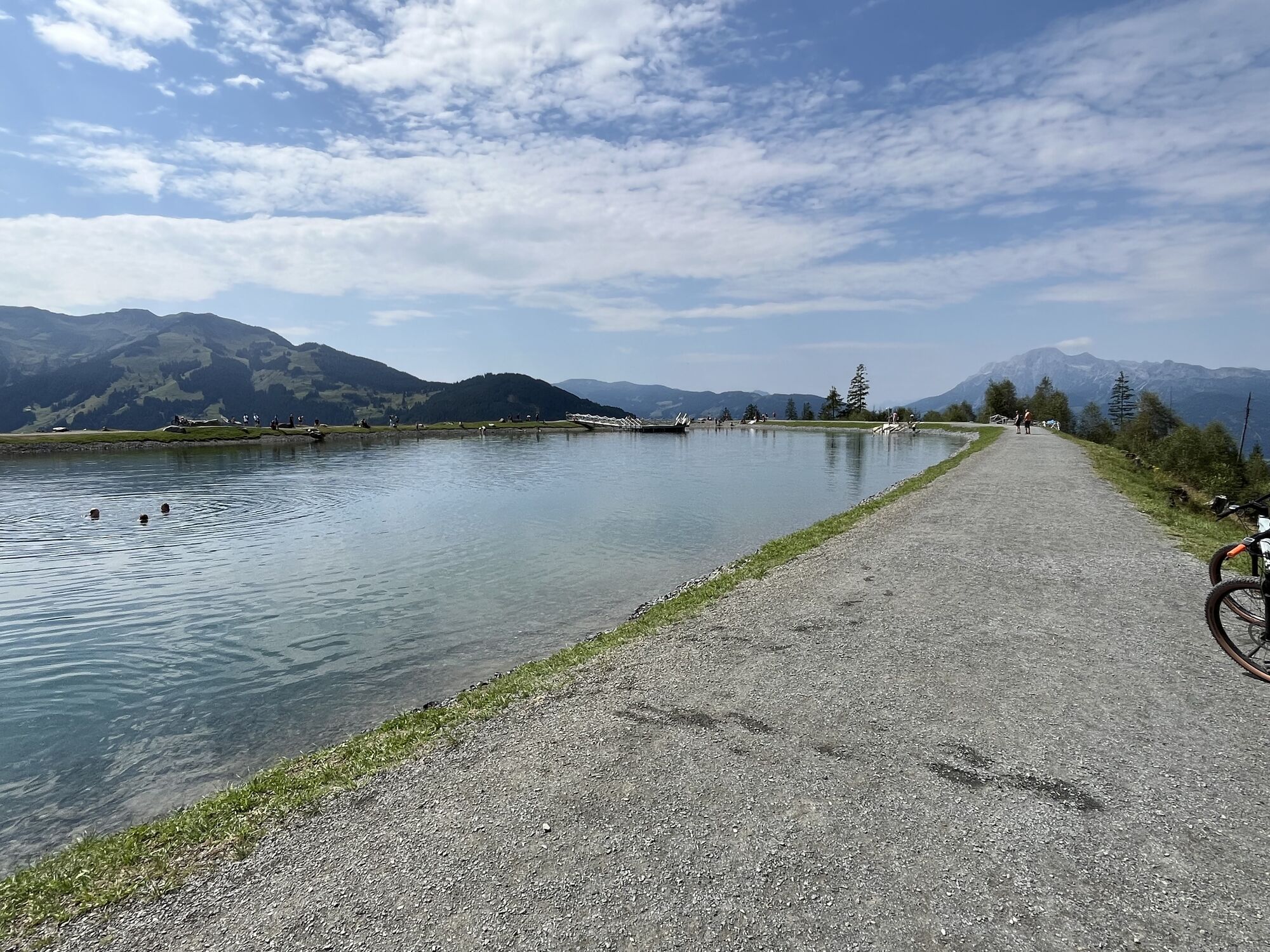
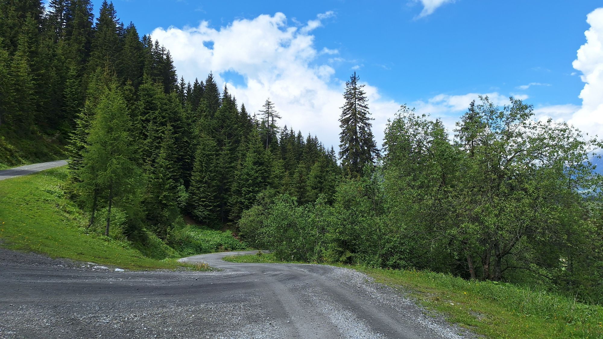
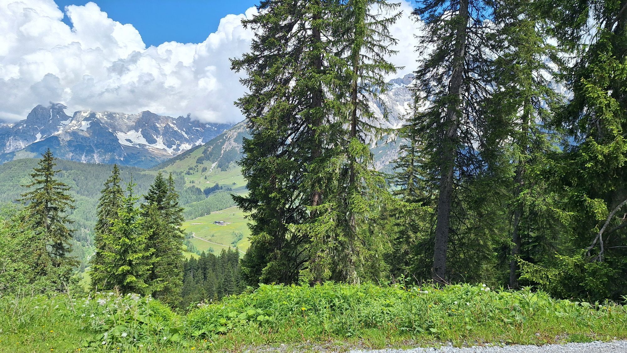
The ideal choice for ambitious bikers looking for a sporting challenge without giving up comfort and enjoyment. Experience the full variety of the Königstour - from steep climbs to flowing descents, embedded in the spectacular mountain landscape. Discover over 3 stages the most beautiful corners of the Hochkönig region. The Königstour Bike MEDIUM runs through the 3 towns Maria Alm, Dienten and Mühlbach and offers varied routes on forest roads, asphalt and trails.
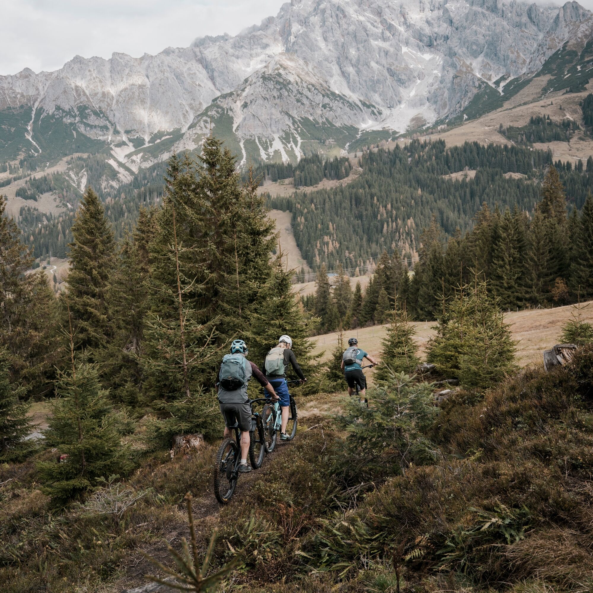

Along the route there are 8 checkpoints that you can complete either with an app or a stamp card. More detailed information about this and the individual stages can be found in the starter package, which can be booked online at www.koenigstour.bike or picked up at the tourist offices.
Checked bike equipment with helmet
Sunglasses, sunscreen, rain protection
Drinks and a small snack
Necessary medication
First aid kit
Bike map
Stay on the paths! Ride exclusively on marked trails to protect nature and property.
Respect grazing fences! All gates, barriers and pasture gates must be closed again after passing through.
Observe traffic regulations! Especially on road sections, be considerate and comply with traffic rules.
Overtake safely! Overtake other bikers or hikers only at walking pace and with sufficient distance.
Be considerate! Encounter other nature users, farmers, forestry and hunting personnel with respect.
Protect wildlife! Avoid noise and unnecessary disturbances, especially at dusk.
Do not leave trash behind! Take your waste with you and keep nature clean!
Ride responsibly! Adjust your speed to the terrain, your skills and weather conditions.
Check the weather! Inform yourself about current weather conditions before the tour at: www.zamg.at or www.uwz.at.
Important emergency numbers: Alpine emergency: 140 | International emergency: 112 | Rescue: 144
Arrival from Salzburg: Take the A10 motorway to the Bischofshofen exit, then on the B311 towards Bischofshofen. Follow the Hochkönig federal road/B164 towards Mühlbach and further to Dienten. Arrival from Innsbruck/Kufstein: Take the Loferer Straße/B178 towards St. Johann i.T., then via the Hochkönig federal road/B164 via Saalfelden and Maria Alm to Dienten or to the Filzensattel. A valid vignette is required for use of the Austrian motorway and expressway network. Carrying a first-aid kit, warning triangle and safety vest is also mandatory. More information can be found at Asfinag.
ÖBB Scotty: Timetable information
Bus line 620: Timetable information
Bus line 631: Timetable information
Hiking bus: Timetable information
Free parking lots at the entrance to Maria Alm
S3
For detailed information about hiking maps, opening times of the mountain lifts as well as huts and alpine pastures in summer, we recommend visiting the on-site service center. There you will receive not only the hiking map but also valuable tips on the best hiking routes and current conditions.
Summer mountain lifts opening times: The mountain lifts offer various opening times during the summer months, which can vary depending on weather conditions and season. Please check the current operating hours in advance.
Huts and alpine pastures opening times in summer: The huts and alpine pastures in the region are ideal rest stops for hikers. Their opening hours can also differ according to season and day of the week. Let the friendly hosts advise you about the offers and specialties on site.
For more information please visit our website: www.hochkoenig.at.
If you have questions or want to get specific information, you can contact us:
Email: region@hochkoenig.at
Phone: +43 (0)6584 20388
We look forward to helping you and wish you a lot of fun exploring the beautiful hiking region Hochkönig!
Be sure to visit one or more of the diverse huts in the region!

Webové kamery z prehliadky
-
Mühlbach am Hochkönig
-
Maria Alm - Hochmaisbahn
-
Aberg - Bergstation
-
Maria Alm - Aberg
-
Mühlbach am Hochkönig - Hotel Bergheimat
-
Bischofshofen-Kreuzberg
-
Bergstation Kings Cab
-
Saalfelden
-
Dienten - Übergossene Alm Resort
-
Dienten - Almsee
-
Dienten - Übergossene Alm Resort
-
Natrun Bergstation
-
Dienten, Bürglalmabfahrt
-
Hoferbichlgut
-
Hinterreit - Saalfelden
-
Saalfelden - Obermühlhof
-
Maria Alm - "die Hochkönigin"
-
Bürglalmbahn Abfahrt
-
Hochkönigblick
-
Arthurhaus - Mühlbach
-
Hinterthal - Urslauerhof
-
Hinterthal - Urslauerhof

Obľúbené výlety v okolí
-
5,0
Großarl: Aualm - Liechtensteinkopf - Aukopf - Schuhflicker - Schuhflickersee
strednáTuristika 5,84 km -
4,9
Großarl: Heukareck
strednáTuristika 12,5 km -
4,9
Summit stormer route Lauskopf
ťažkéTuristika 8,16 km -
4,8
Summit storming route Taghaube
ťažkéTuristika 6,25 km -
4,7
About the "Four Huts circular route" to Windraucheggalm
strednáTuristika 10,1 km -
3,7
Wanderung zur Ostpreußenhütte in Werfen (1.630 m)
strednáTuristika 11,2 km -
4,6
Großarl: Mooslehenalm – Niggeltalalm – Viehhausalm
strednáTuristika 5,44 km -
4,6
Panorama hike to the Hochkeil
strednáTuristika 6,07 km -
4,9
Hochkönig - Gipfel der Gefühle - Matrashaus
ťažkéTuristika 20,9 km -
4,3
Mühlbacher Höhenweg
strednáTuristika 11,2 km
Turistika a stopovanie


Nenechajte si ujsť ponuky a inšpiráciu na ďalšiu dovolenku
Vaša e-mailová adresa bol pridaný do poštového zoznamu.





