


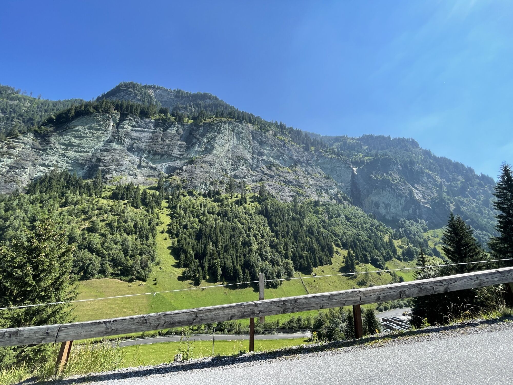
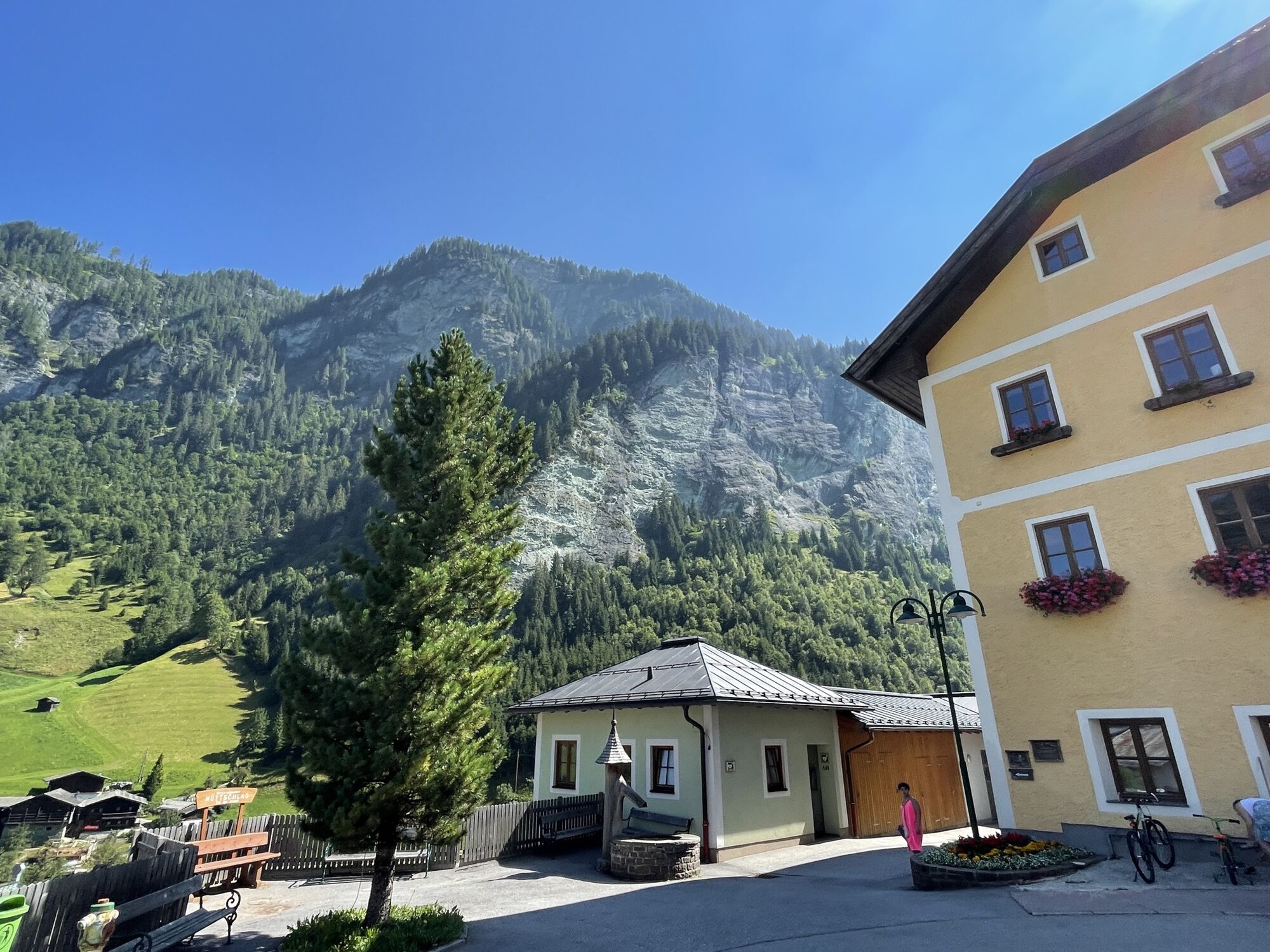
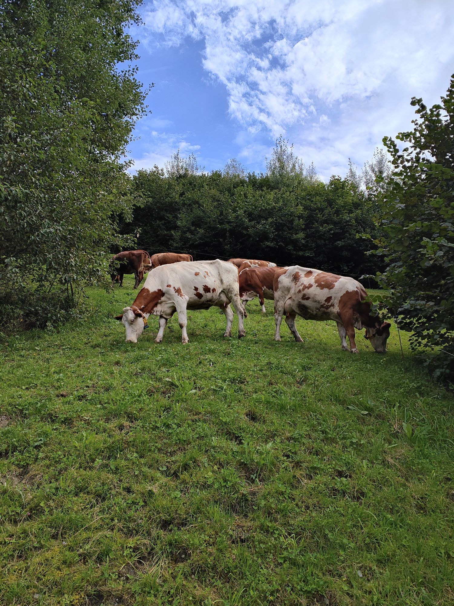
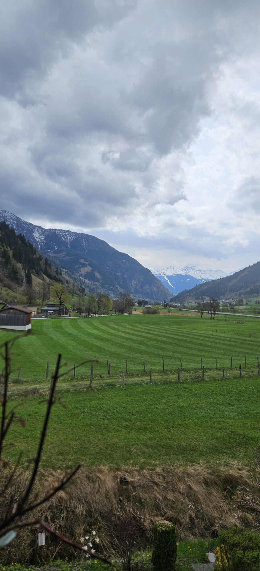
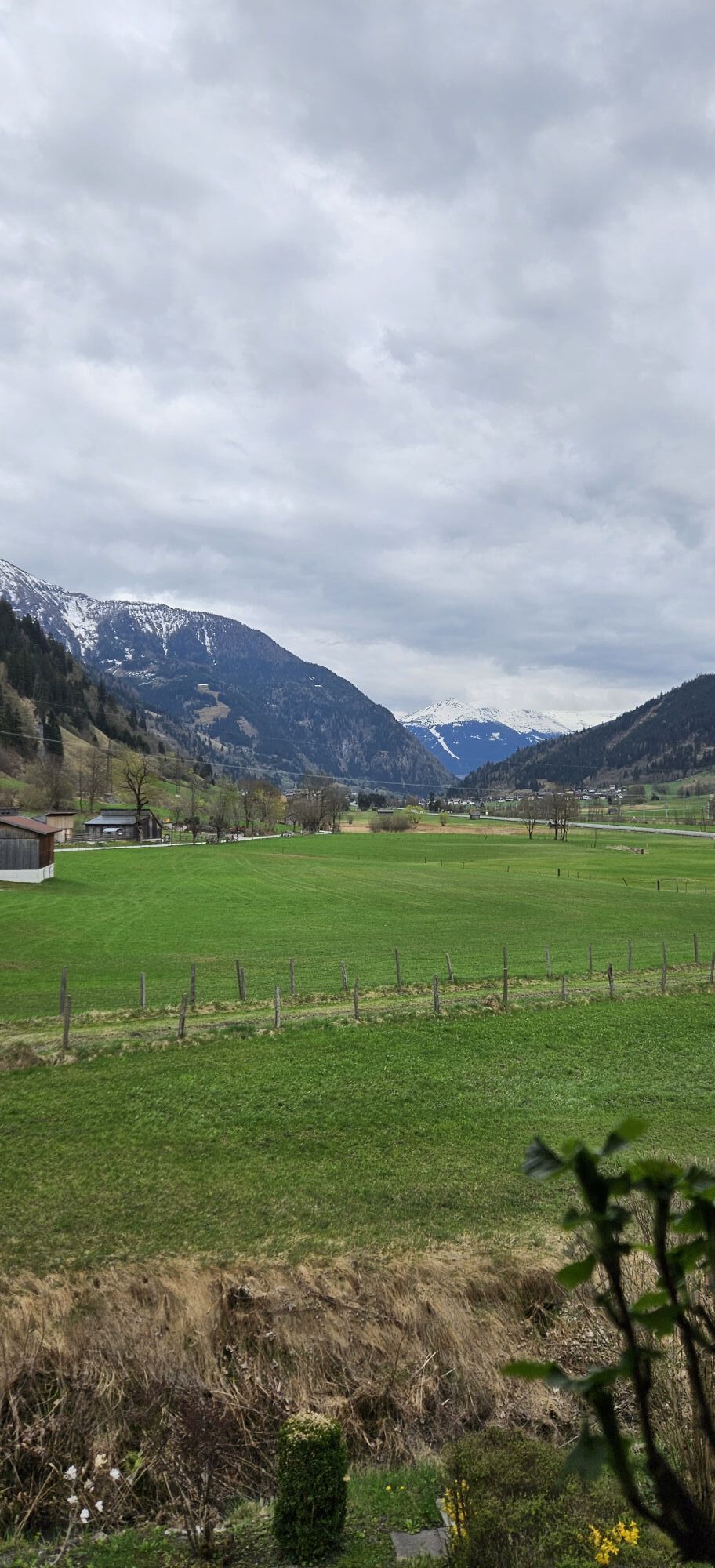
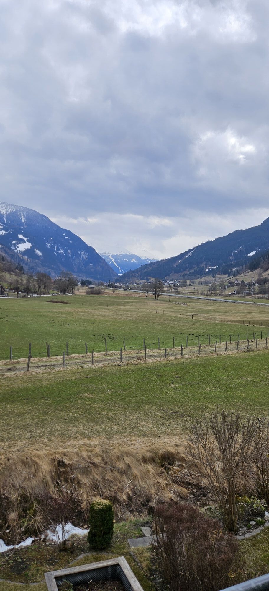
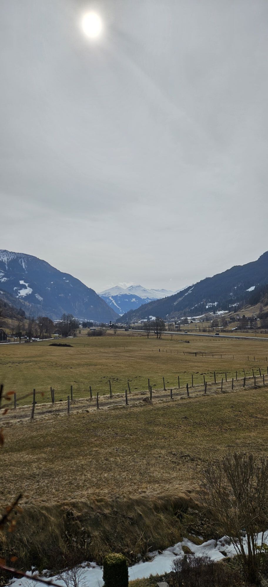
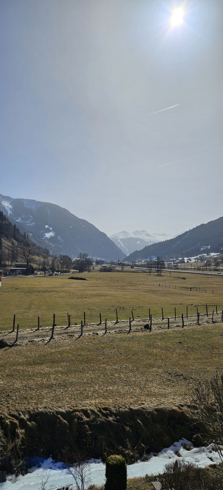
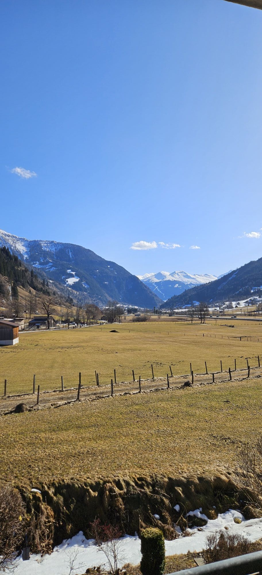
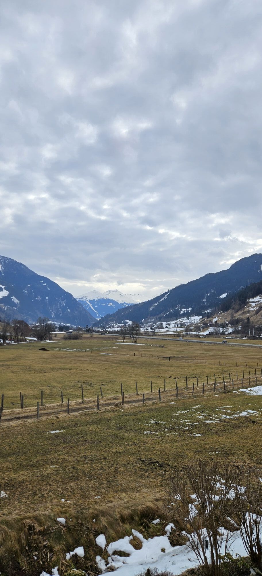
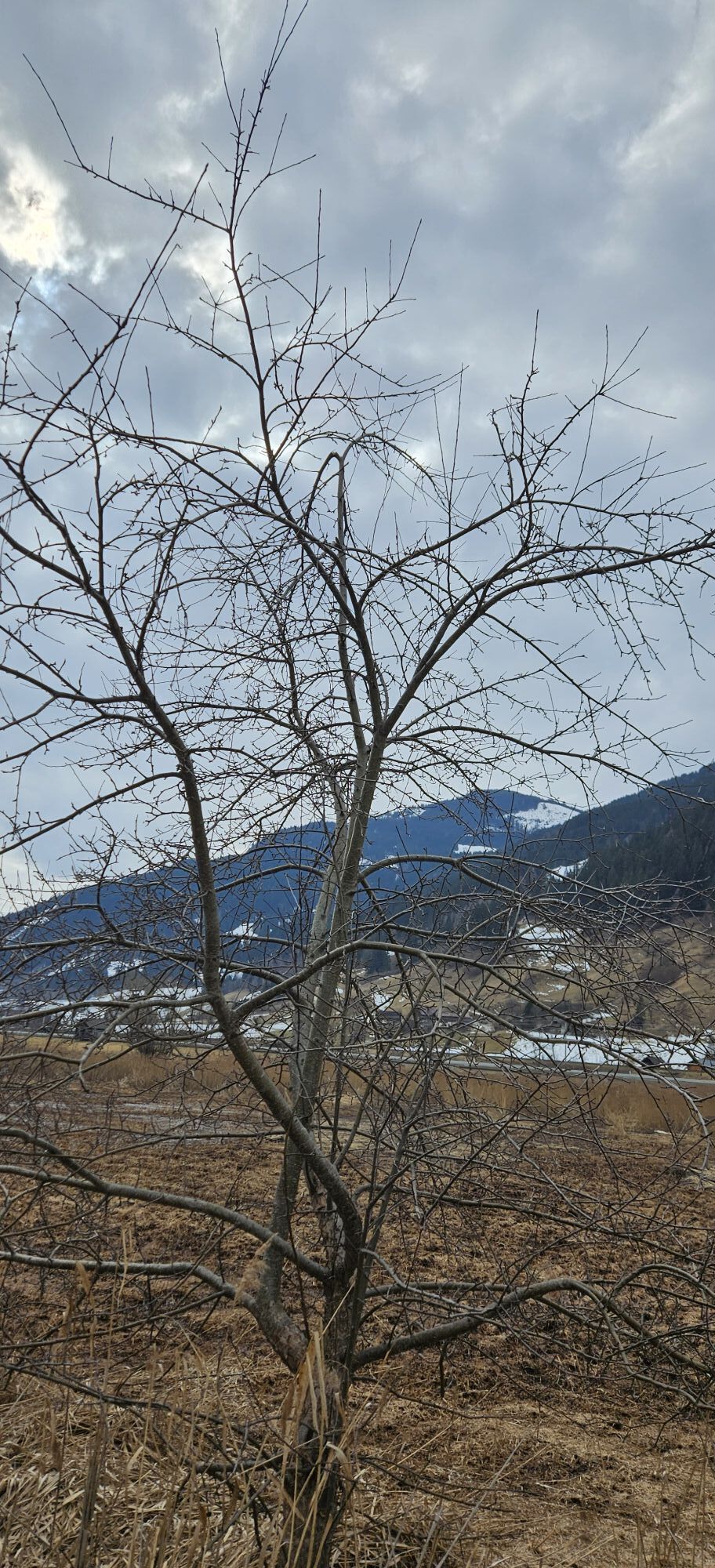
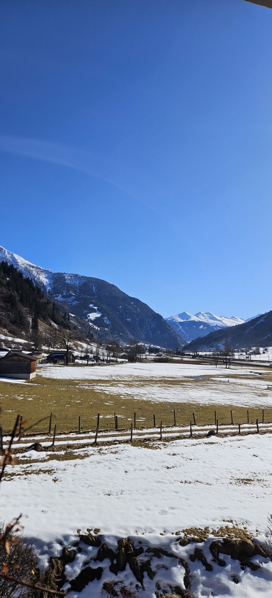
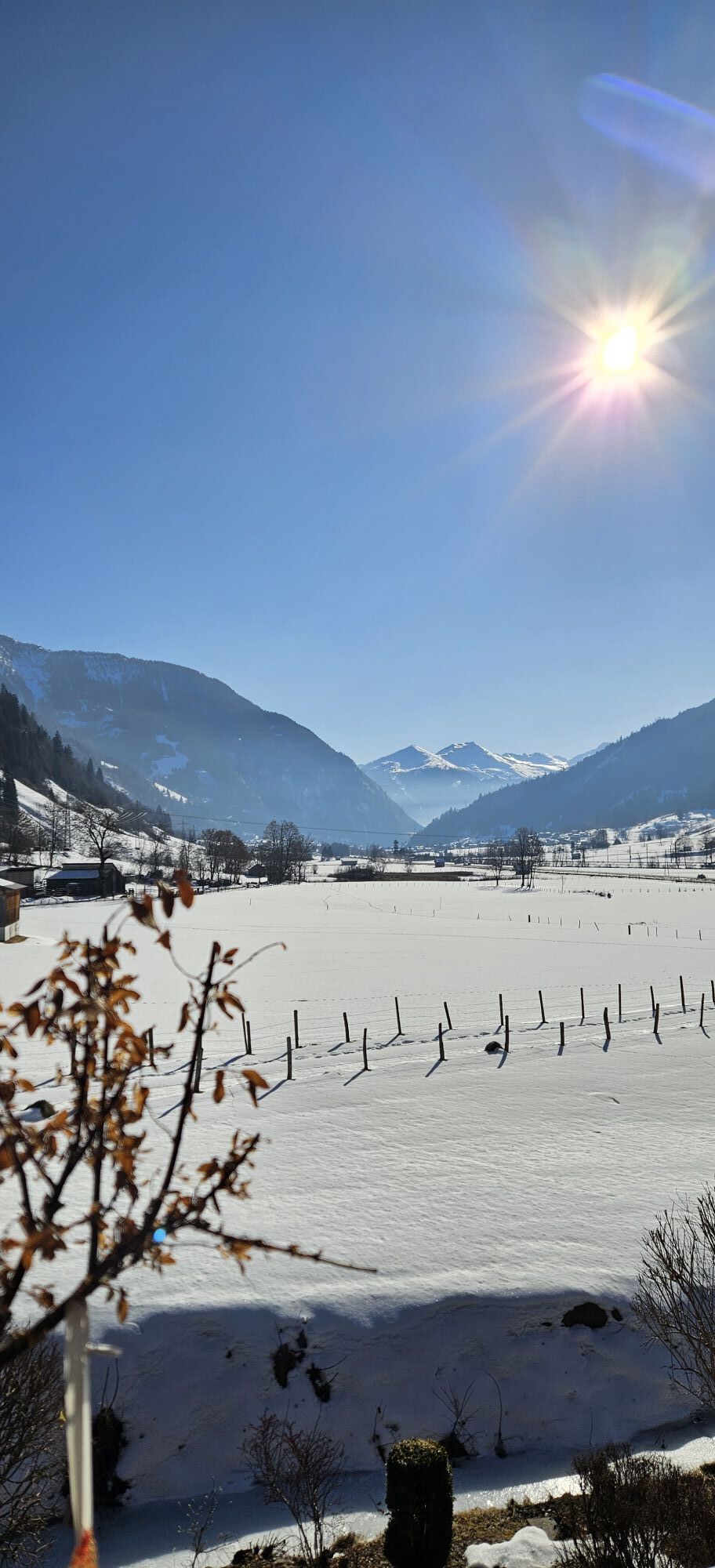
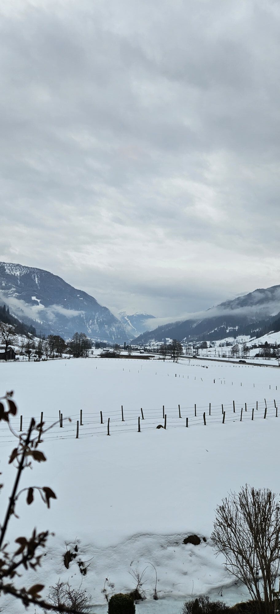
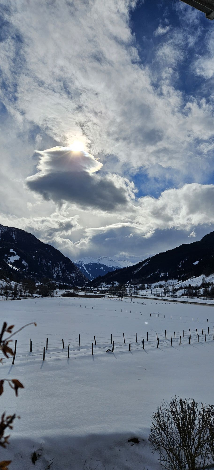
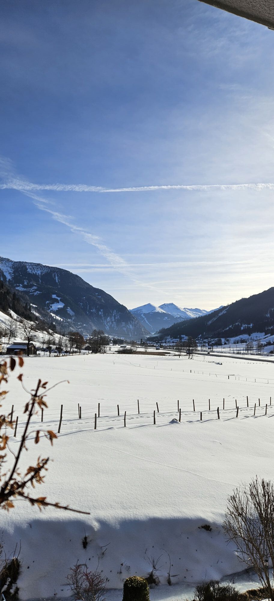
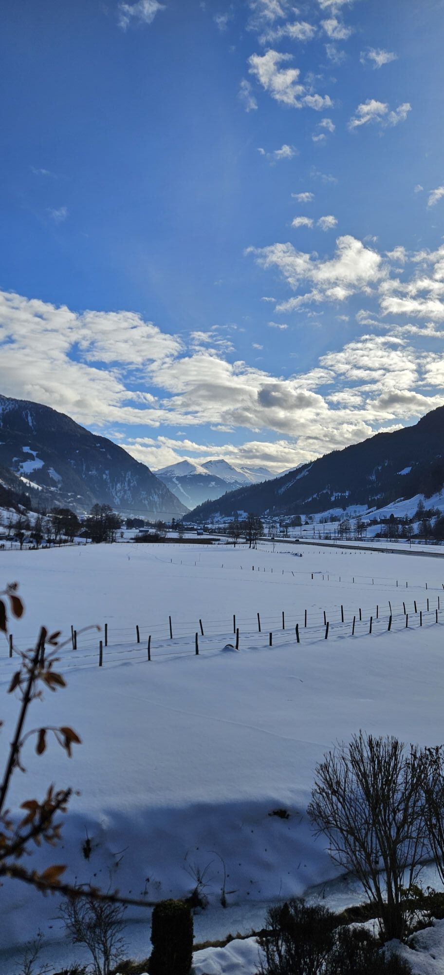
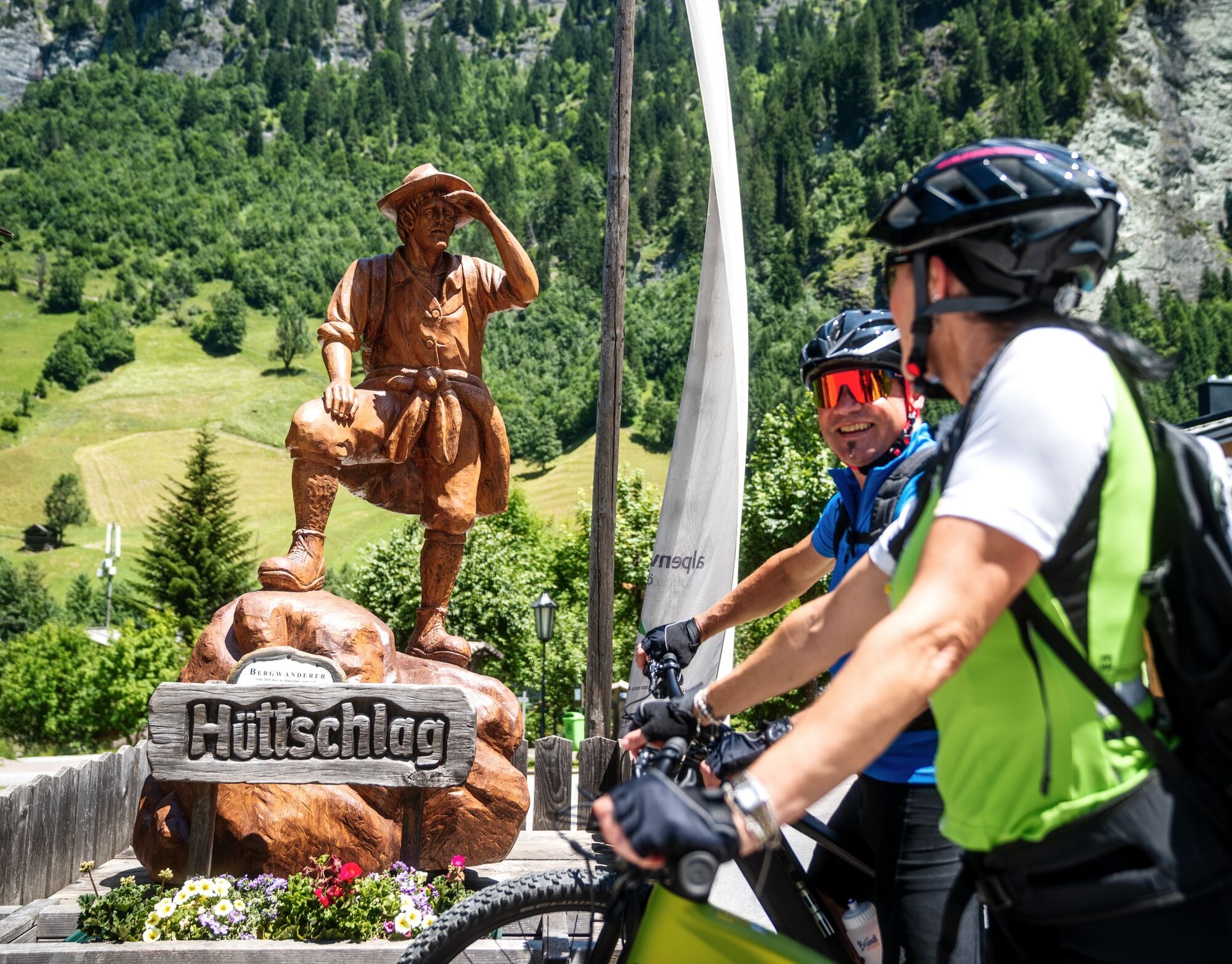
Alternative route Etappe 01 Hüttschlag – Großarltal – Bad Gastein


E-Bike charging stations along the stage:
Großarl Valley: No charging stations available
Gastein Valley: https://www.gastein.com/service/gastein-von-a-z/e-ladestationen/
A detailed list of recommended equipment can be found here: Recommended Equipment >>
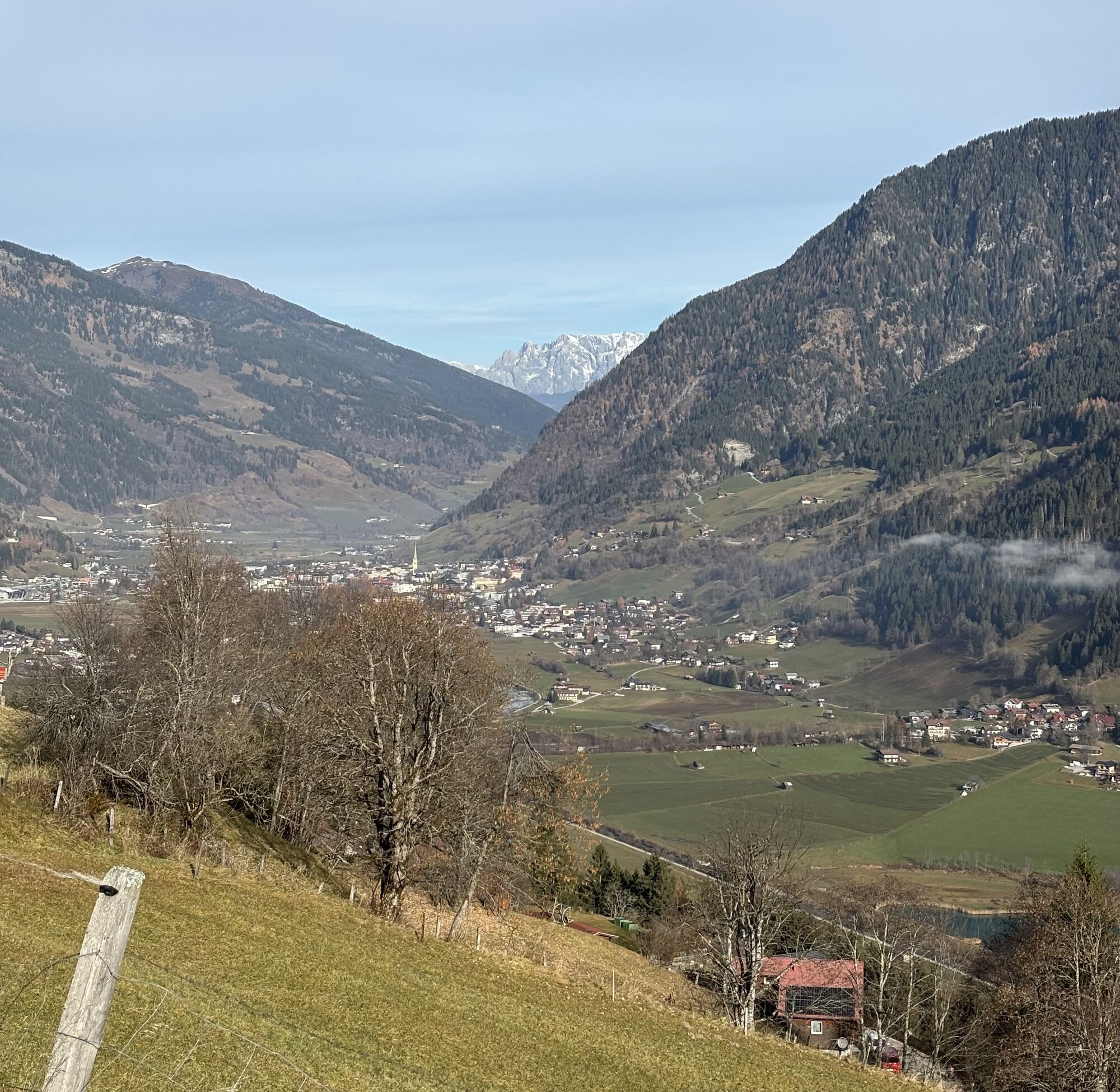
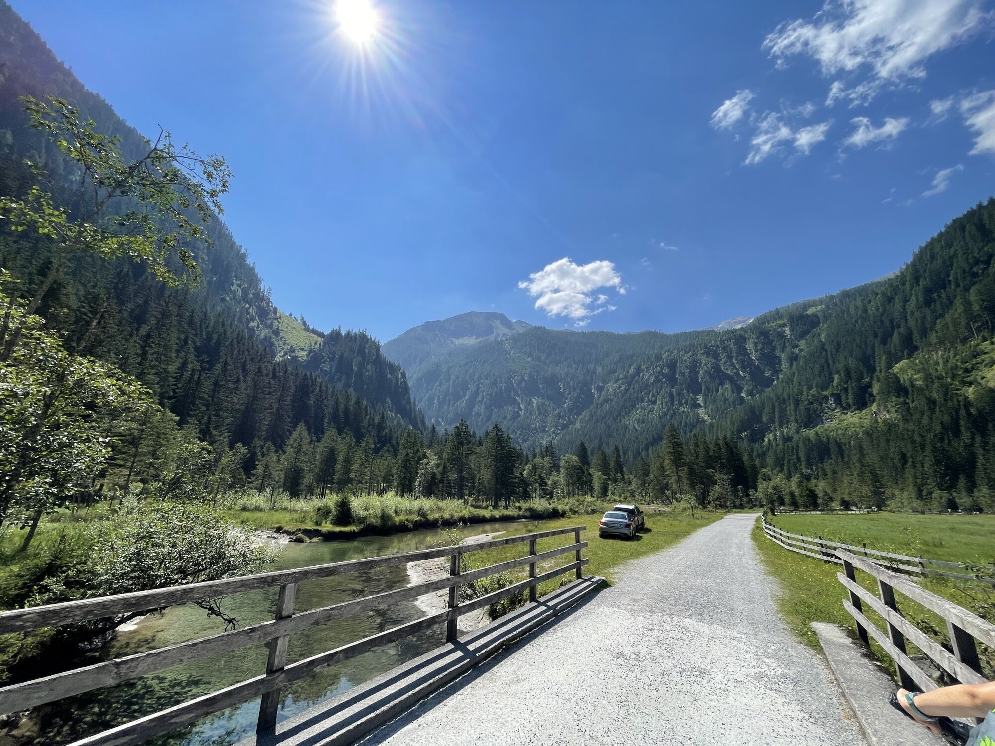
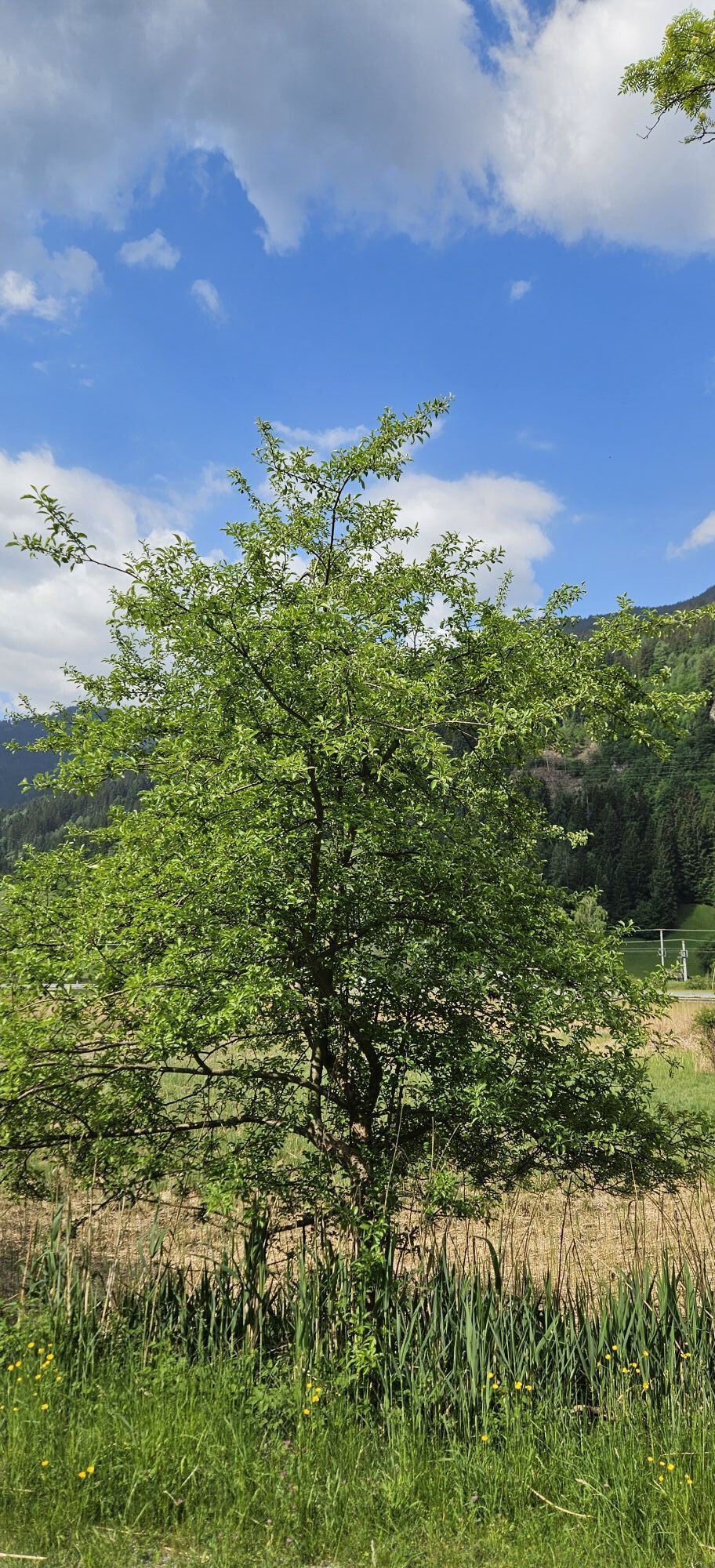
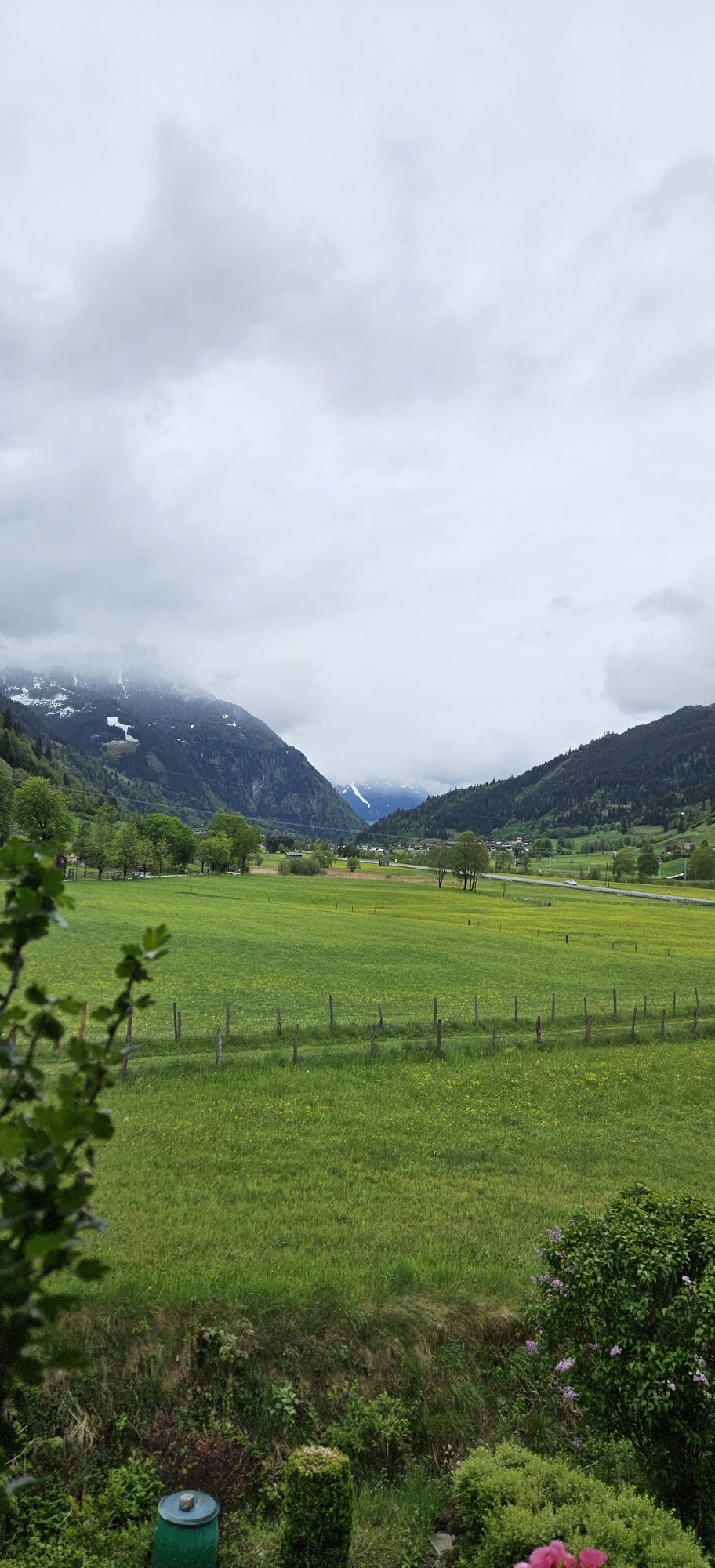
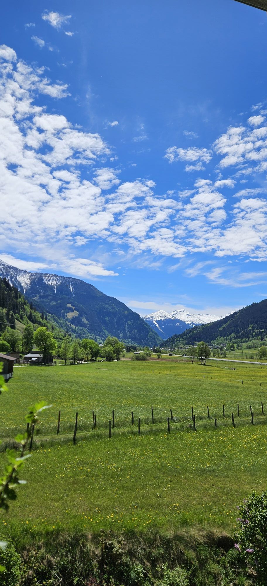
From St. Johann im Pongau via Alpendorfstrasse and the L109 to Hüttschlag town center.
Coming from St. Johann im Pongau, take the regional bus 540 towards Hüttschlag Talschluss to the Hüttschlag Ortsmitte stop.
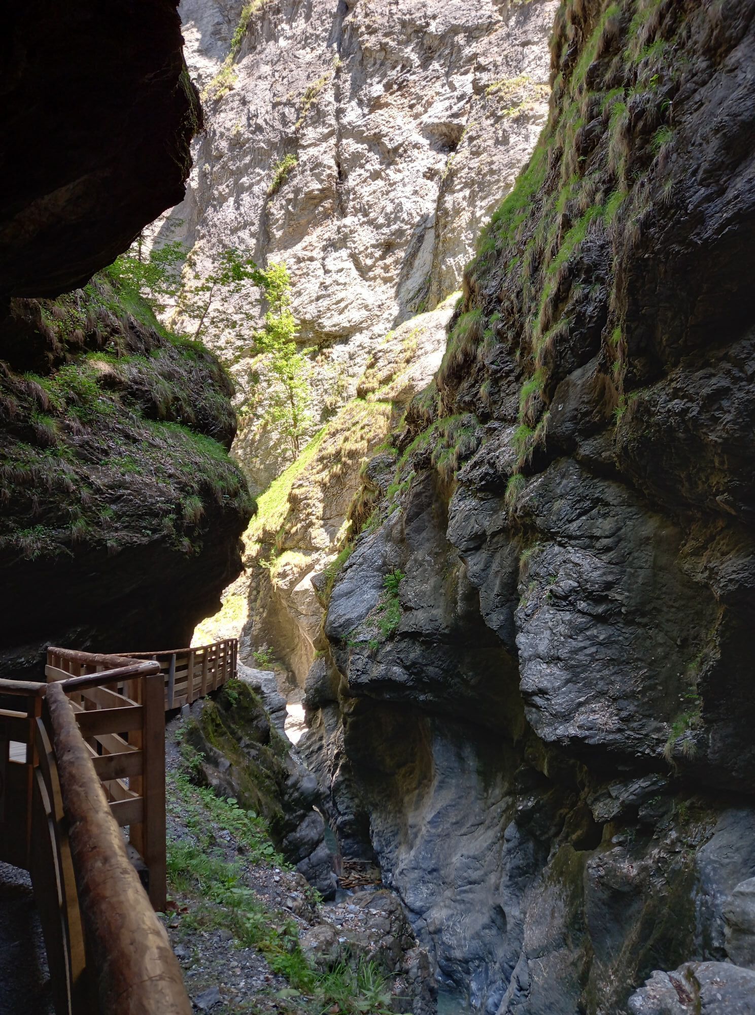
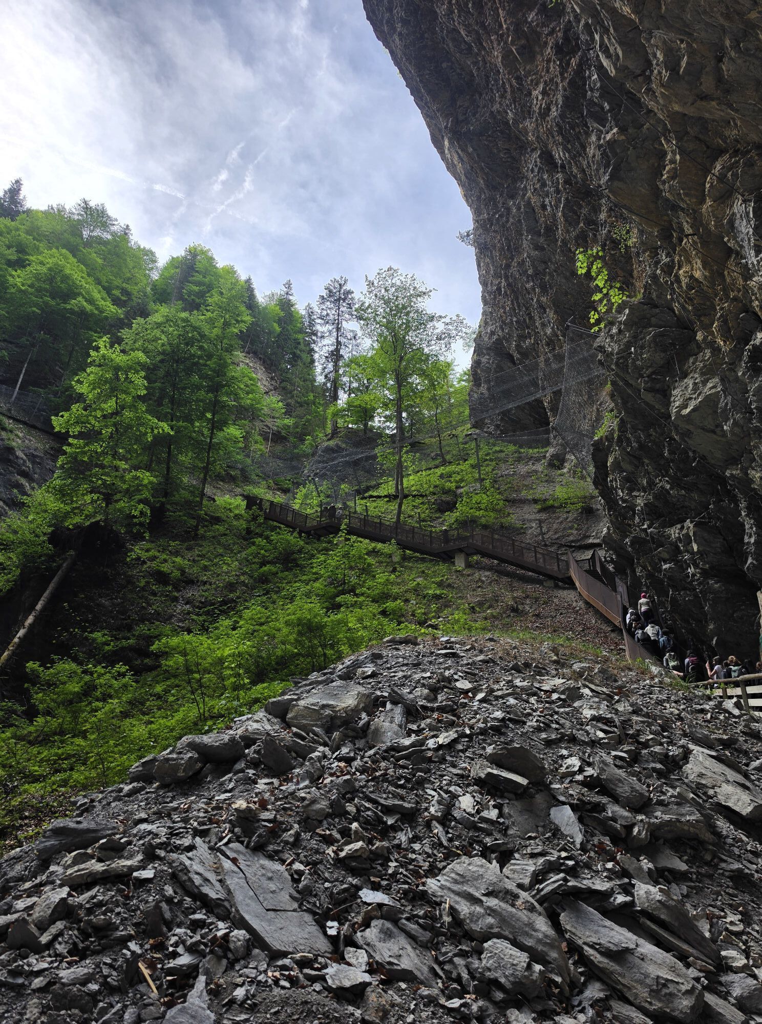
Just before reaching Hüttschlag, you pass through a short tunnel. Immediately after the tunnel, the road branches off to the right, leading up to the village center. There, right next to a small chapel, are several parking areas that can be used for several days.
Ferienregion Nationalpark Hohe Tauern
Gerlosstraße 18, 5730 Mittersill, Österreich
Tel. +43 6562 40939 E-Mail: hohetauerntrail@nationalpark.at
Bookingcenter & Info-Hotline Trail Angels GmbH
9821 Obervellach 15, Österreich
Tel. +43 4782 93093 E-Mail: info@bookyourtrail.com
Webové kamery z prehliadky
-
Kreuzkogel
-
Fulseck
-
Gernkogel - Alpendorf St. Johann
-
Haitzingalm
-
Hotel Lammwirt im Großarltal/Ellmautal
-
Bad Gastein - Golfplatz
-
Dorfgastein - Spiegelsee
-
Bad Hofgastein - Schloßalm
-
Talschluss des Grossarltals - Steinmannbauer
-
Bergstation 6er Sesselbahn Harbach
-
Gästehaus Hagenhofer - Dorfgastein
-
Ellmautal - Palfenhof
-
St. Johann-Alpendorf
-
Bad Hofgastein - Akzent Hotel Germania
-
Bad Gastein - Hotel Schillerhof
-
Skizentrum Angertal
-
Schlossalm - Weitmoser
-
Jungerstube / Stubnerkogel
-
Kühhagerbahn Bergstation
-
Großarl - Ort
-
St.Johann-Alpendorf Gernkogel
-
Golfplatz Goldegg
-
Golfplatz Goldegg
-
Gernkogel - Alpendorf St. Johann
-
Gernkogel - Alpendorf St. Johann
-
Dorfgastein - Spiegelsee
-
Dorfgastein - Spiegelsee
-
Dorfgastein - Spiegelsee
-
Dorfgastein - Spiegelsee
-
Stubnerkogel Bergstation Südseite
-
Graukogel Bergstation
-
Schlossalm Funslope
-
Bad Gastein
-
Bad Gasteiner Wasserfall
-
Haitzingalm
-
Dorfgastein - Bergl
-
Embach
-
Großarl - Kieserlbahn
-
Grossarl - Hotel Gasthof Schützenhof
-
Großarl - Hotel Kristall Übungslift
Obľúbené výlety v okolí
-
4,9
Großarl: Aualm - Liechtensteinkopf - Aukopf - Schuhflicker - Schuhflickersee
strednáTuristika 5,84 km -
5,0
Großarl: Alpine pasture circuit in Ellmautal
strednáTuristika 9,69 km -
4,1
Tappenkarsee Kleinarl
strednáTuristika 9,11 km -
4,7
Großarl: Mooslehenalm – Niggeltalalm – Viehhausalm
strednáTuristika 5,44 km -
4,9
Höhenweg vom Grünen Baum bis Bad Hofgastein
svetloTuristika 7,92 km -
4,6
Mountain route from the Kötschachtal to the natural jewel Reedsee
strednáTuristika 12,5 km -
4,8
Hüttenkogel - Graukogel von der Bergstation
strednáHorská turistika 4,68 km -
4,5
Großarl: Saukaralm - Saukarkopf - Gerstreitalm
strednáTuristika 9,39 km -
4,6
Bahnhof Bad Hofgastein nach Bahnhof Bad Gastein
strednáTuristika 13,0 km -
4,7
Bad Hofgastein Bergbahn Parkplatz - Rastötzenalm Bad Hofgastein
strednáMountainbike 16,9 km
Turistika a stopovanie


Nenechajte si ujsť ponuky a inšpiráciu na ďalšiu dovolenku
Vaša e-mailová adresa bol pridaný do poštového zoznamu.