



13D Trauneralm


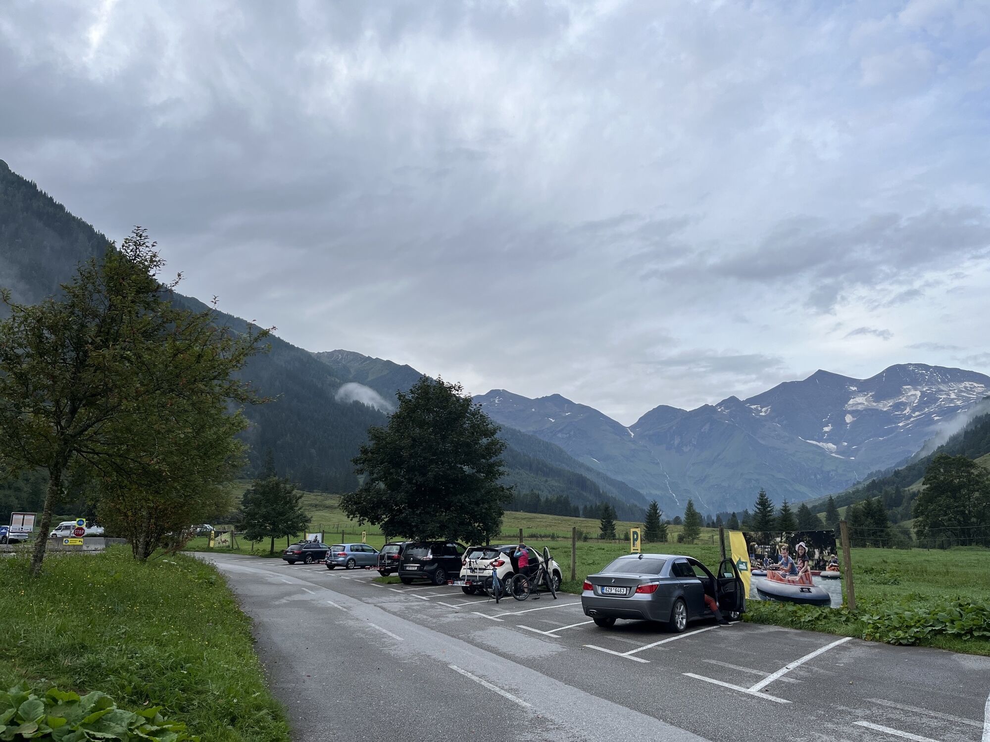
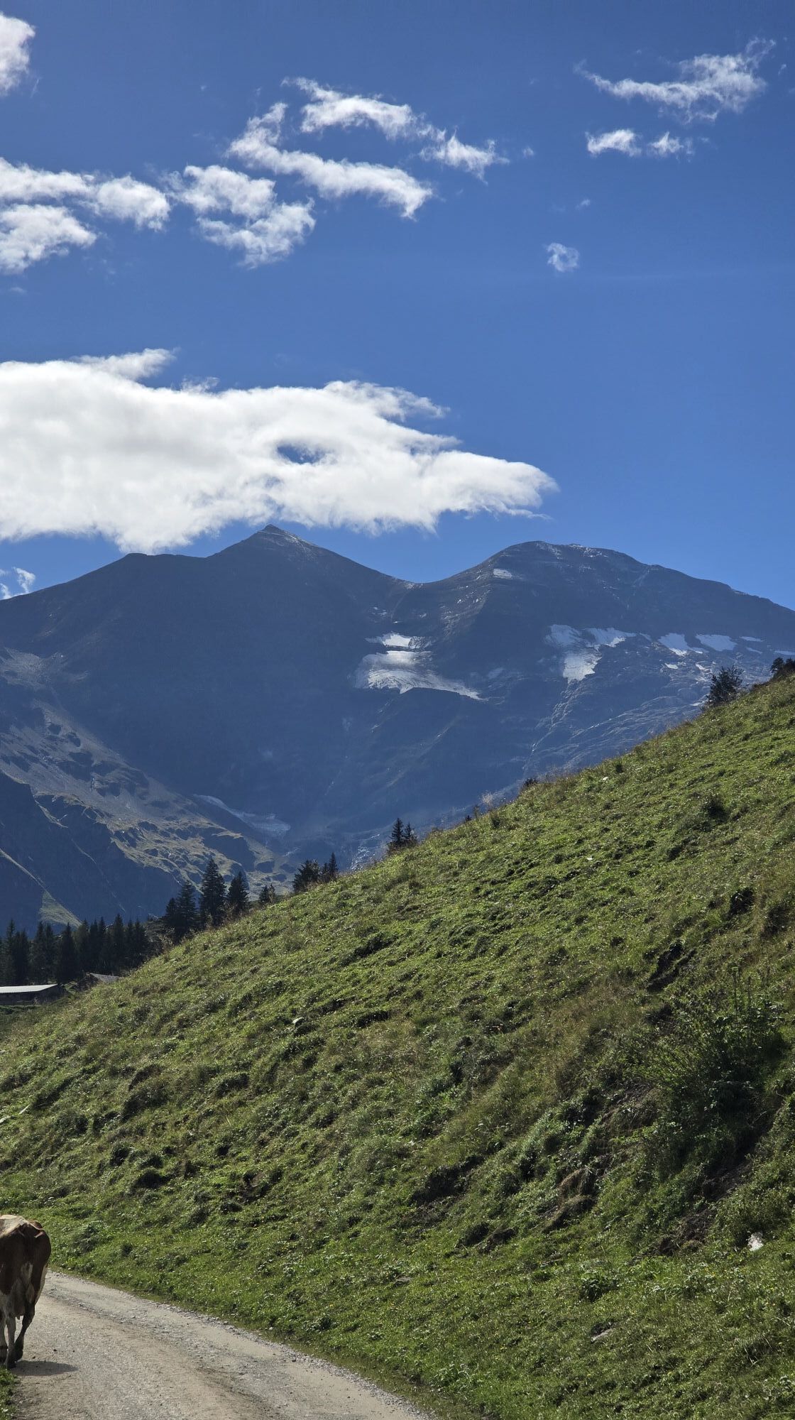
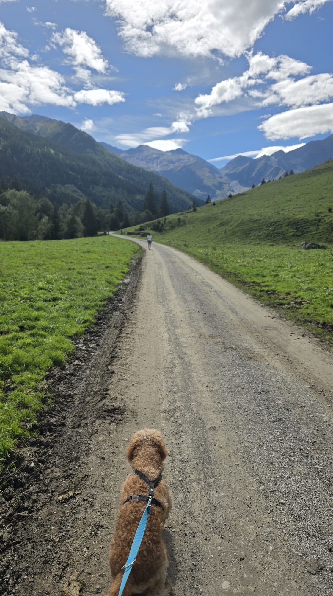
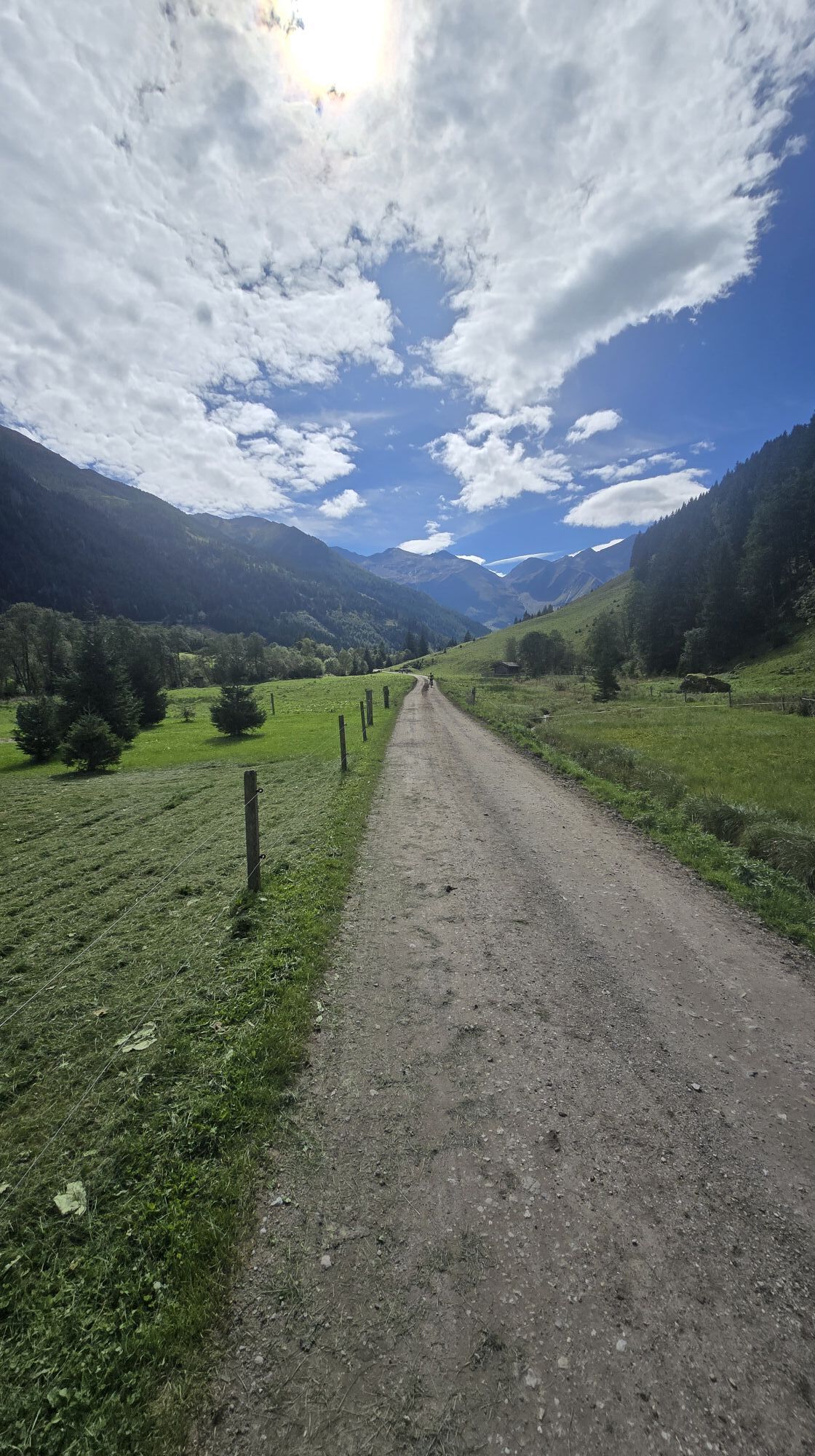
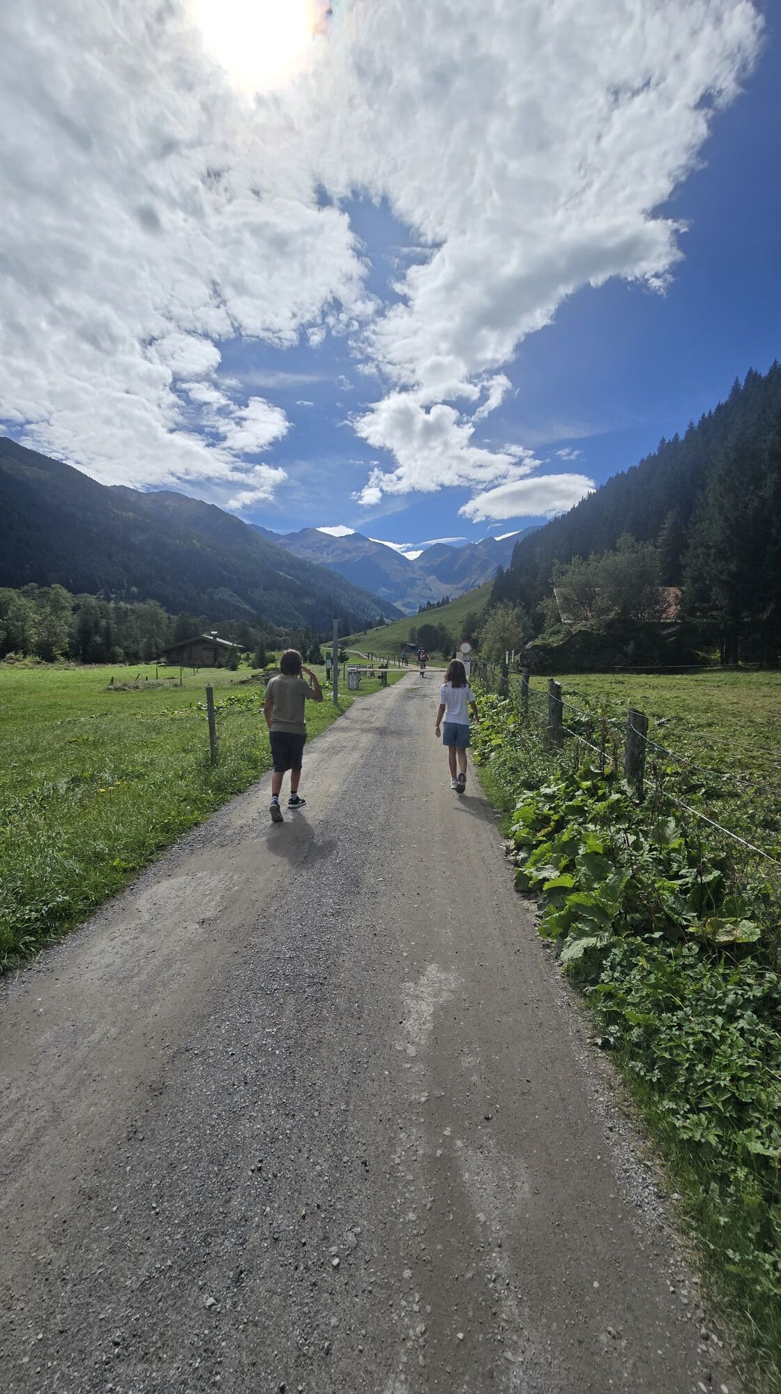
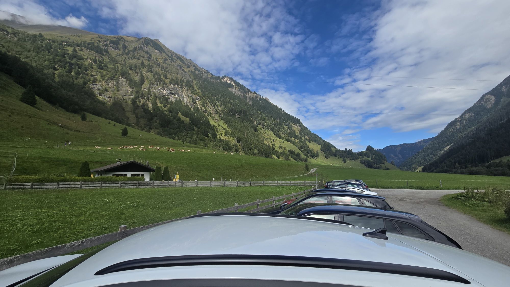
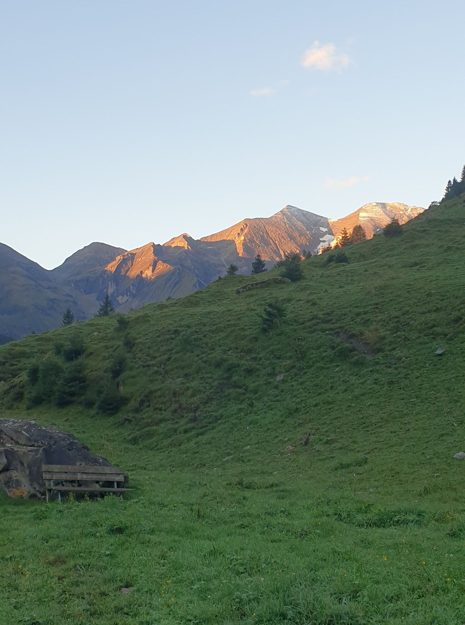
The managed Trauneralm from the time of the Pfandelscharte crossing to the Großglockner is surrounded by 15 three-thousanders and is located amidst an alpine flora-orchid diversity in the Rotmoos in the...
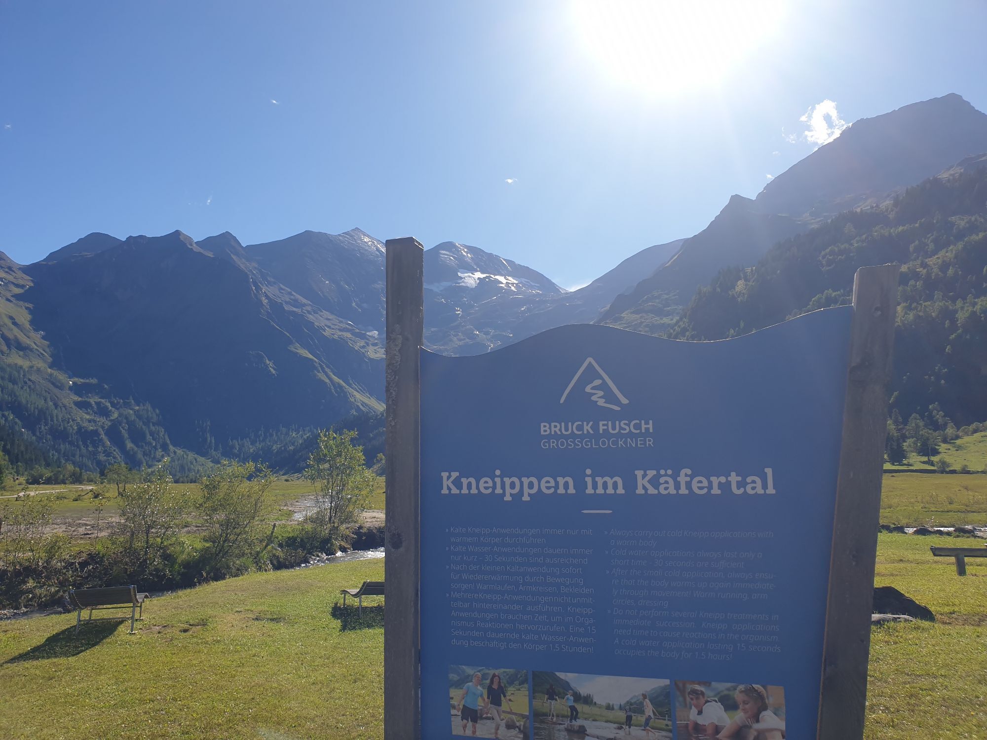
The managed Trauneralm from the time of the Pfandelscharte crossing to the Großglockner is surrounded by 15 three-thousanders and is located amidst an alpine flora-orchid diversity in the Rotmoos in the Käfertal, which not only impresses with untouched nature, a magnificent panorama, and roaring waterfalls, but also with the Rotmoostal and its marsh meadows, counts among the unique floras in Europe and opens up one of the most beautiful and impressive valleys in the Alps. At over 1,100 m above sea level, more than 300 beetle species, nearly 200 large butterfly species, and a variety of wild animals live there.



This bike route starts at the Tauernhaus Ferleiten (near the toll station). From here, follow the forest road with a slight incline into the Käfertal. After about 4 km, turn left and continue over the bridge. Now the path, which ascends a bit more steeply, leads to the managed Trauneralm at 1,530 m above sea level.
The return journey follows the same route.
The use of the marked and authorized routes/trails is permitted from May 1 to November 15 and exclusively at the following times:
May 1 to November 15 2 hours after sunrise until 1 hour before sunsetStay on the marked routes/trails!
The shared rules of conduct ensure that the forest and pasture areas will continue to provide a unique recreational and living space as well as a workplace for all.
Your behavior influences public opinion and tolerance.
By mountain bike: From Piesendorf Niedernsill, follow the well-signposted Tauern cycle path to Bruck. From there, continue into the Fuschertal to the toll station Ferleiten.
Sufficient parking available at the toll station in Ferleiten.
A visit to the wildlife and adventure park rounds off your eventful mountain biking day.


Aktivity počas prehliadky
-

Fusch an der Großglocknerstraße, Salzburg/Österreich
16.08.2026 – Turistika -

Fusch an der Großglocknerstraße, Salzburg/Austria
12.08.2026 – Turistika -

Fusch an der Großglocknerstraße, Salzburg/Österreich
28.07.2026 – Turistika -

Fusch an der Großglocknerstraße, Salzburg/Österreich
22.07.2026 – Turistika -

Fusch an der Großglocknerstraße, Salzburg/Österreich
13.07.2026 – Turistika -
Fusch an der Großglocknerstraße, Salzburg/Österreich
07.07.2026 – Turistika -
Fusch an der Großglocknerstraße, Salzburg/Österreich
07.07.2026 – Turistika -

Fusch an der Großglocknerstraße, Salzburg/Austria
02.05.2026 – Vysoké turné -

Fusch an der Großglocknerstraße, Salzburg/Austria
18.08.2025 – Turistika
Obľúbené výlety v okolí
-
4,8
Kaiser-Franz-Josefs-Höhe to Oberwalderhütte
ťažkéTuristika 5,52 km -
4,7
Geotrail Tauernfenster
svetloTuristika 5,90 km -
4,5
Glacier Route to the Pasterze with Gamsgrubenweg (up to Tunnel 6)
strednáTuristika 8,05 km -
4,9
Glockner Alpincenter - Salmhütte - Hohenwartkees
strednáTuristika 8,64 km -
4,9
Glockner
strednáVysoké turné 19 km -
4,7
1 Großglockner Normalweg von der Stüdlhütte (Tirol & Kärnten)
ťažkéVysoké turné 8,17 km -
4,5
Spielmann
strednáTuristika 9,48 km -
5,0
Wasserfallboden/Mooserboden
ťažkéTuristika 19,5 km -
4,6
Sigmund Thun Klamm, Klammsee, Bürgkogel
svetloTuristika 4,56 km -
4,6
Runde um den Weißsee - Gletscherlehrpfad Uttendorf, Österreich
strednáTuristika 6,48 km
Turistika a stopovanie


Nenechajte si ujsť ponuky a inšpiráciu na ďalšiu dovolenku
Vaša e-mailová adresa bol pridaný do poštového zoznamu.


