



KA7 Kitzsteinhorn-Uphill

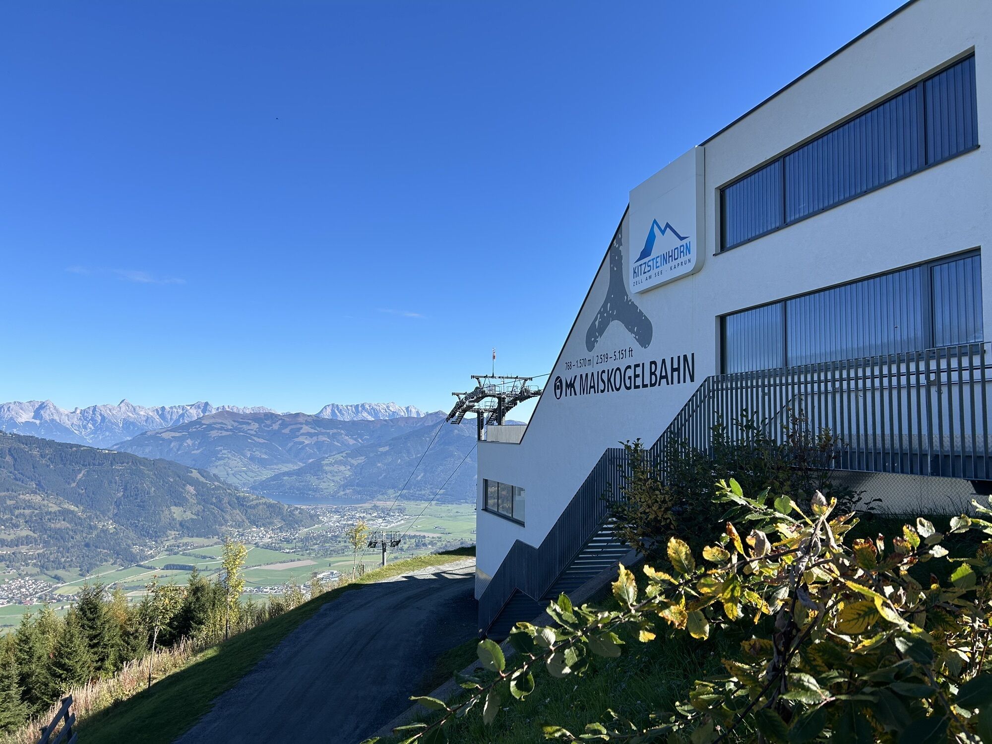
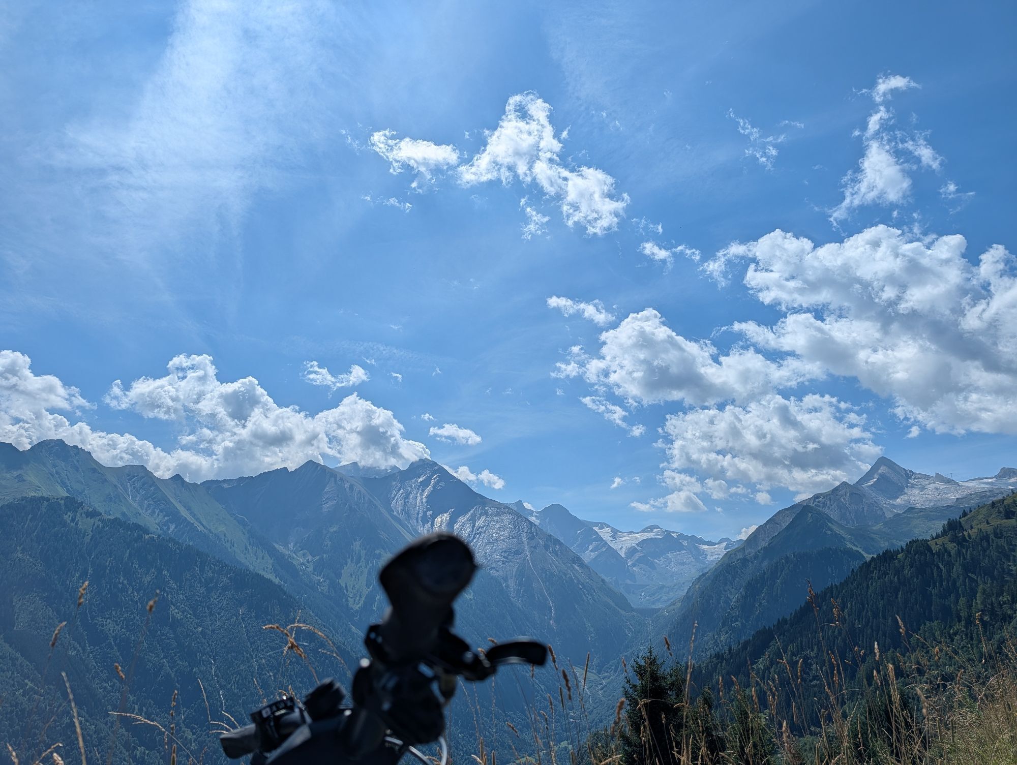
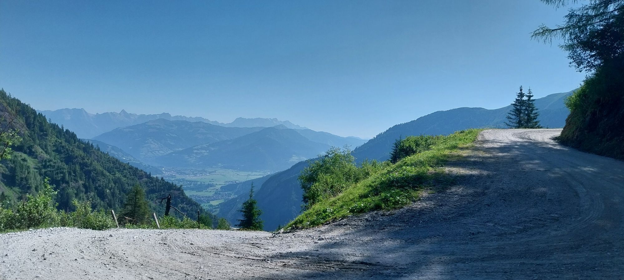


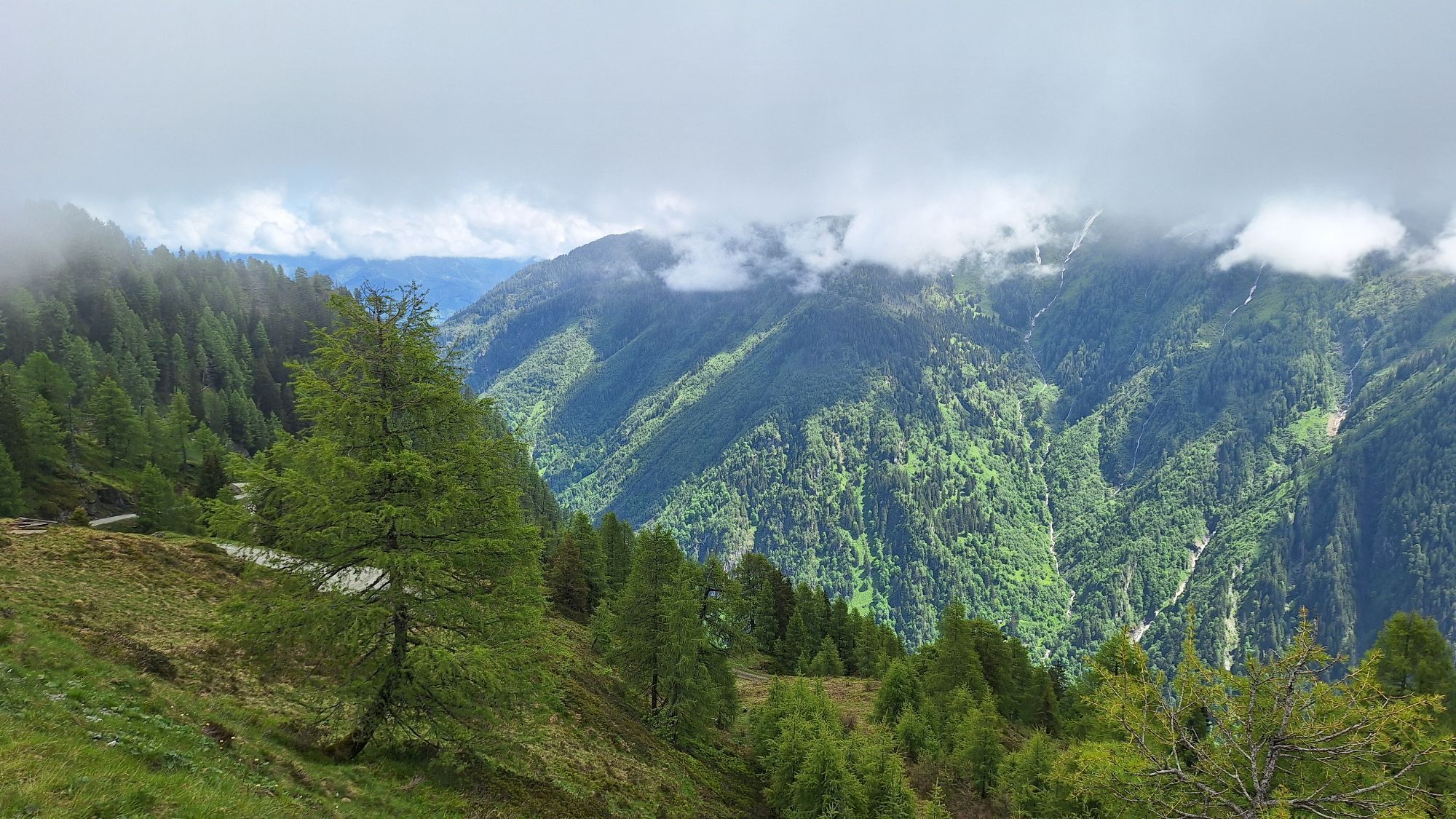
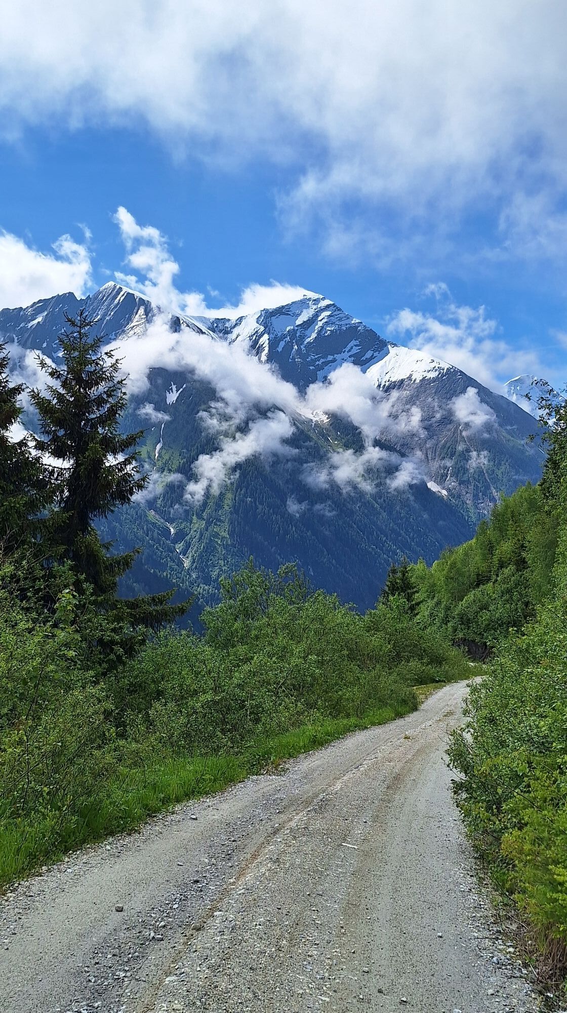


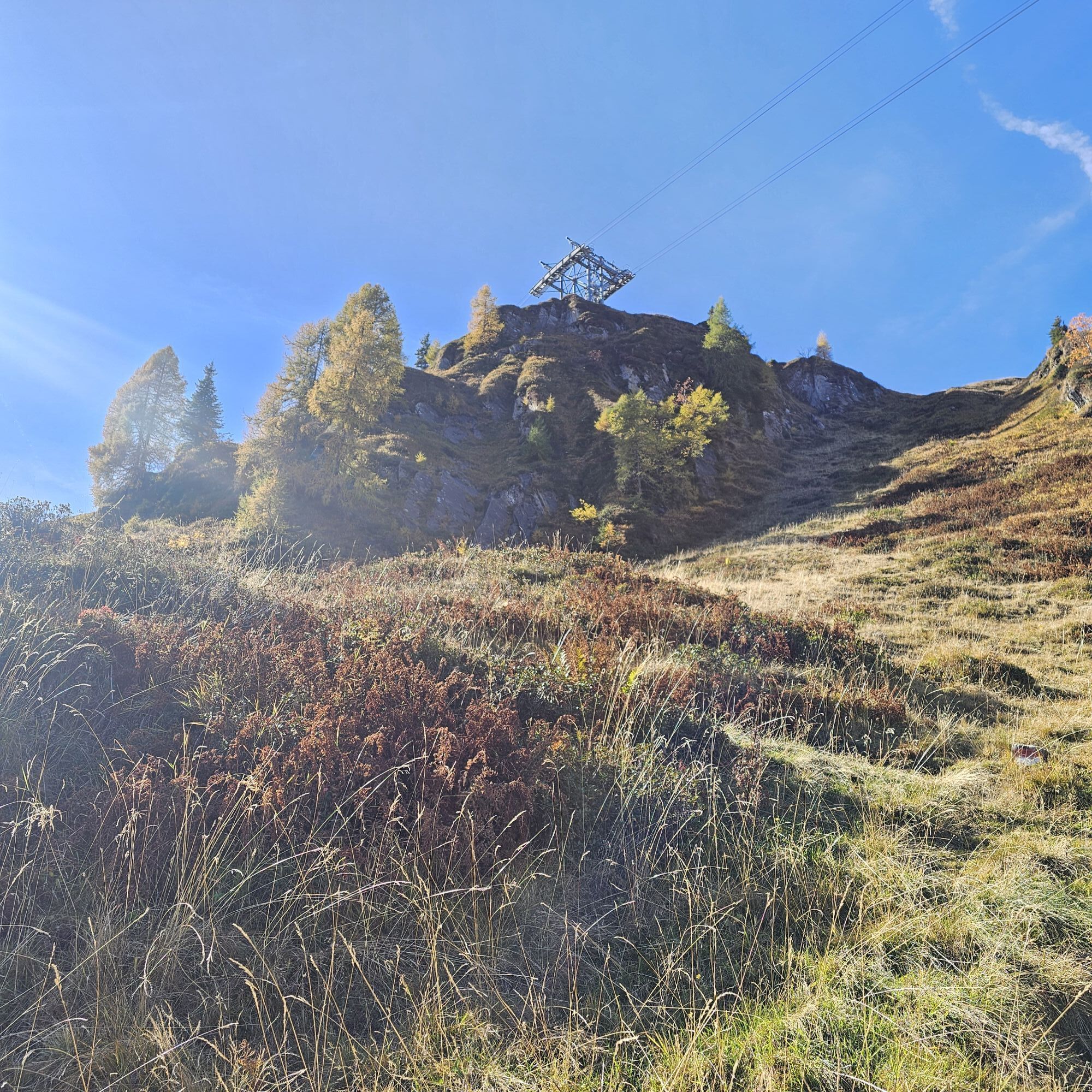
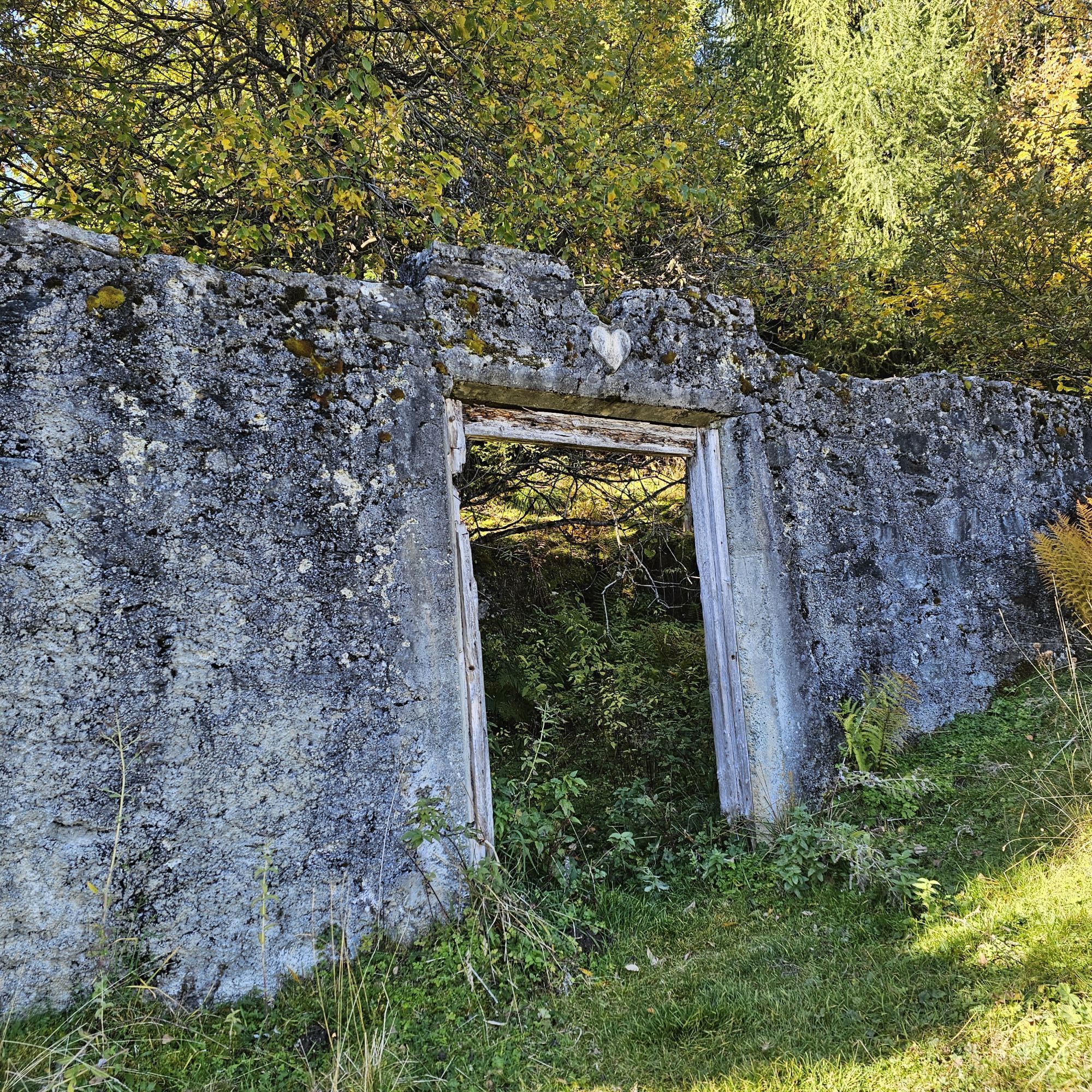
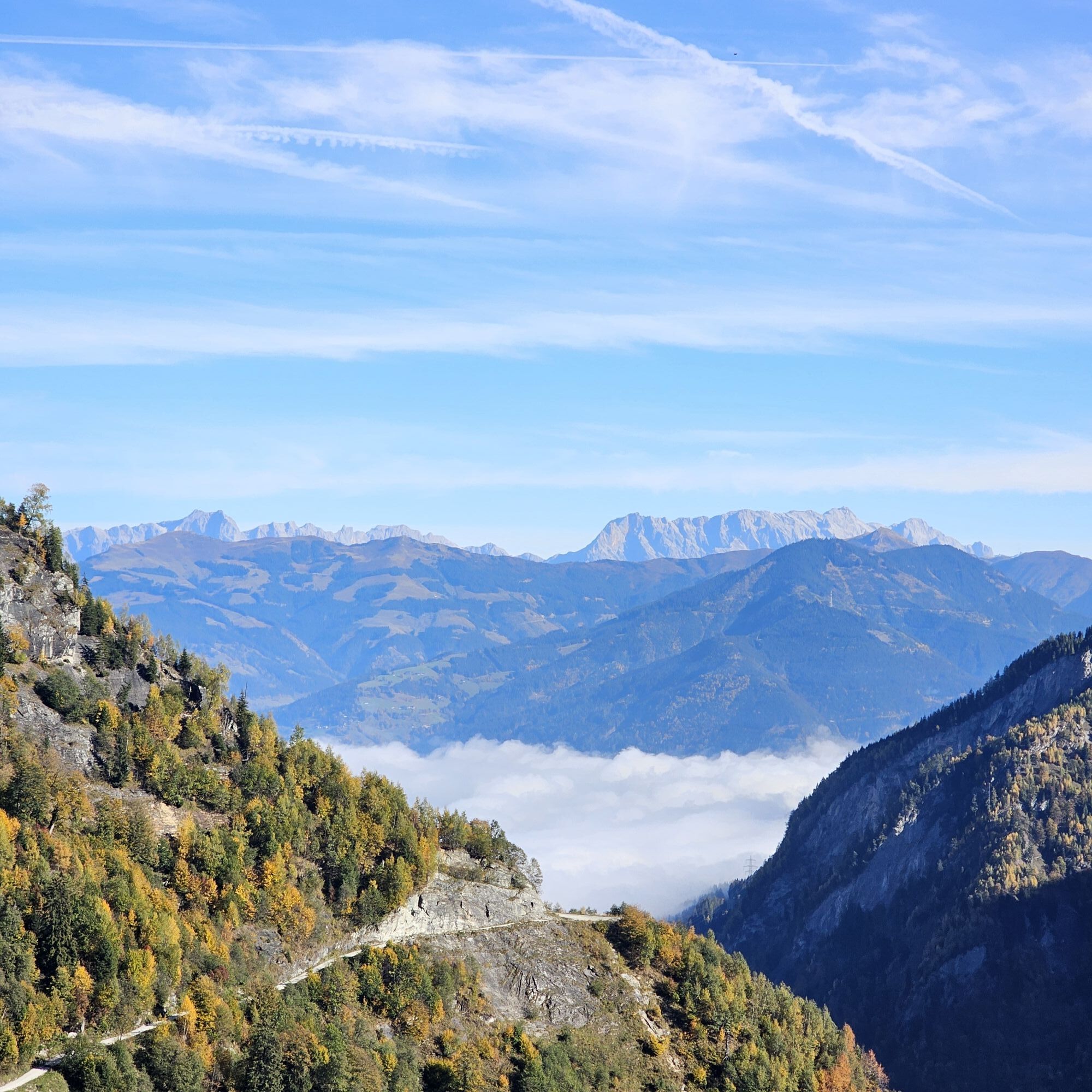
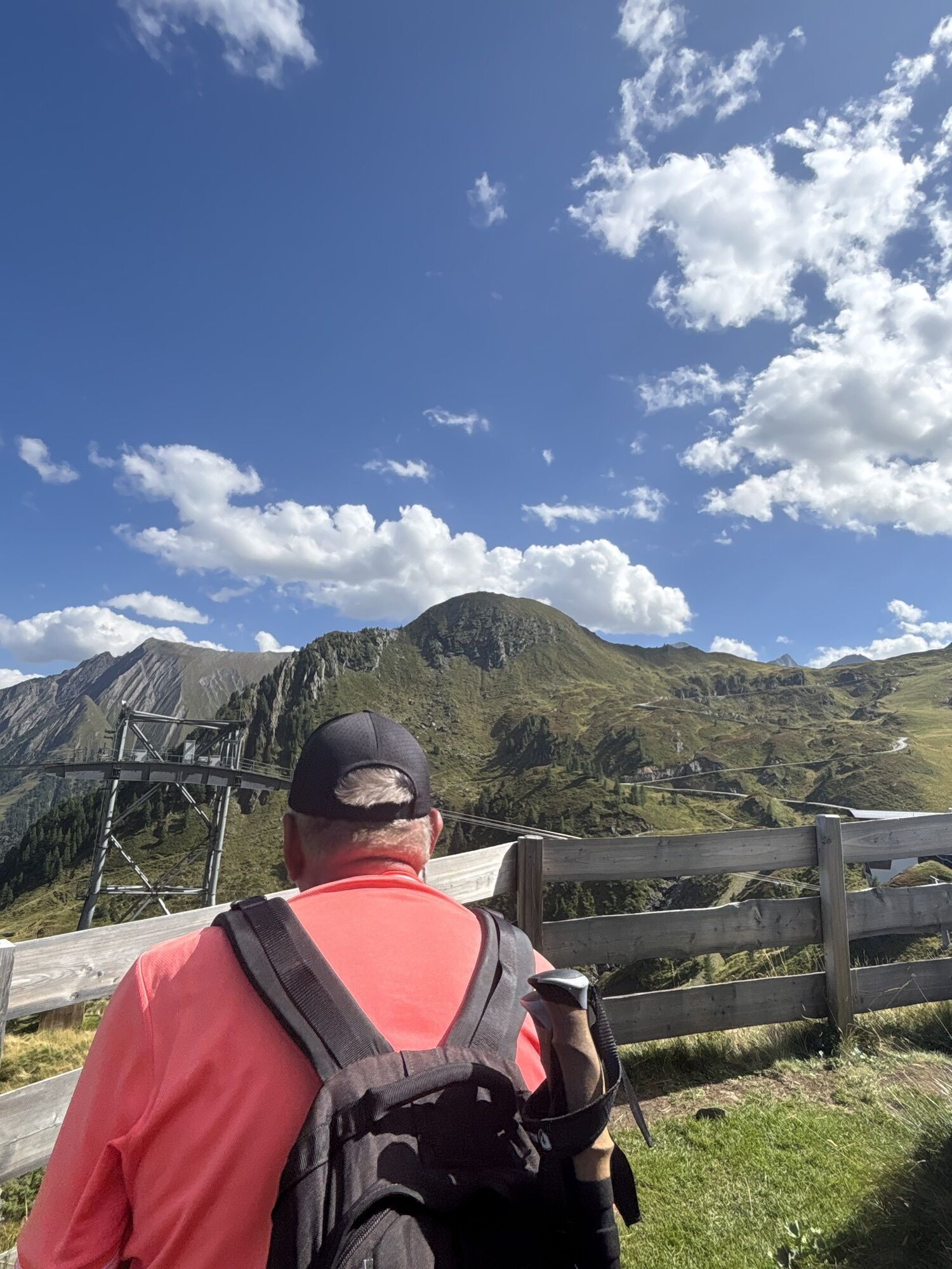
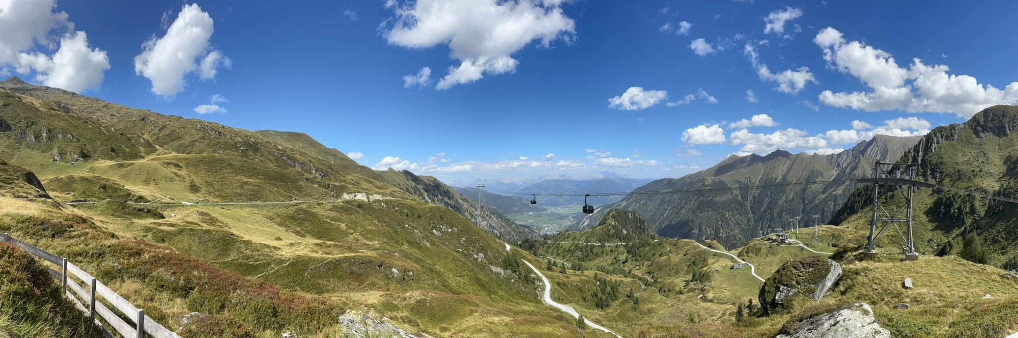
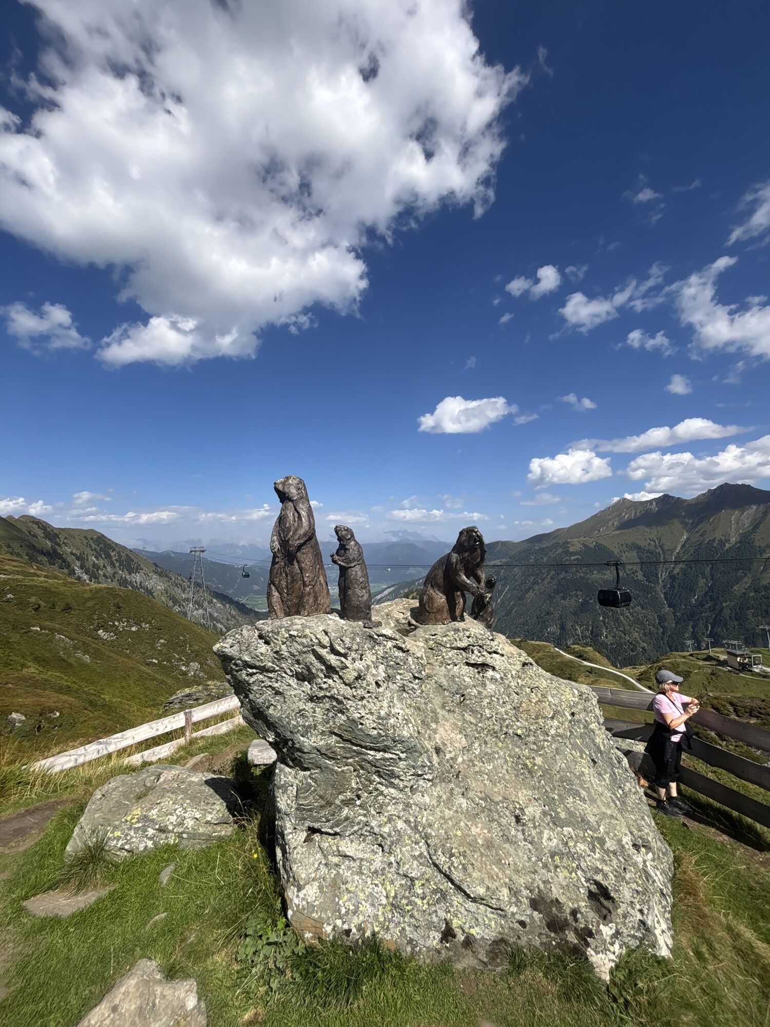
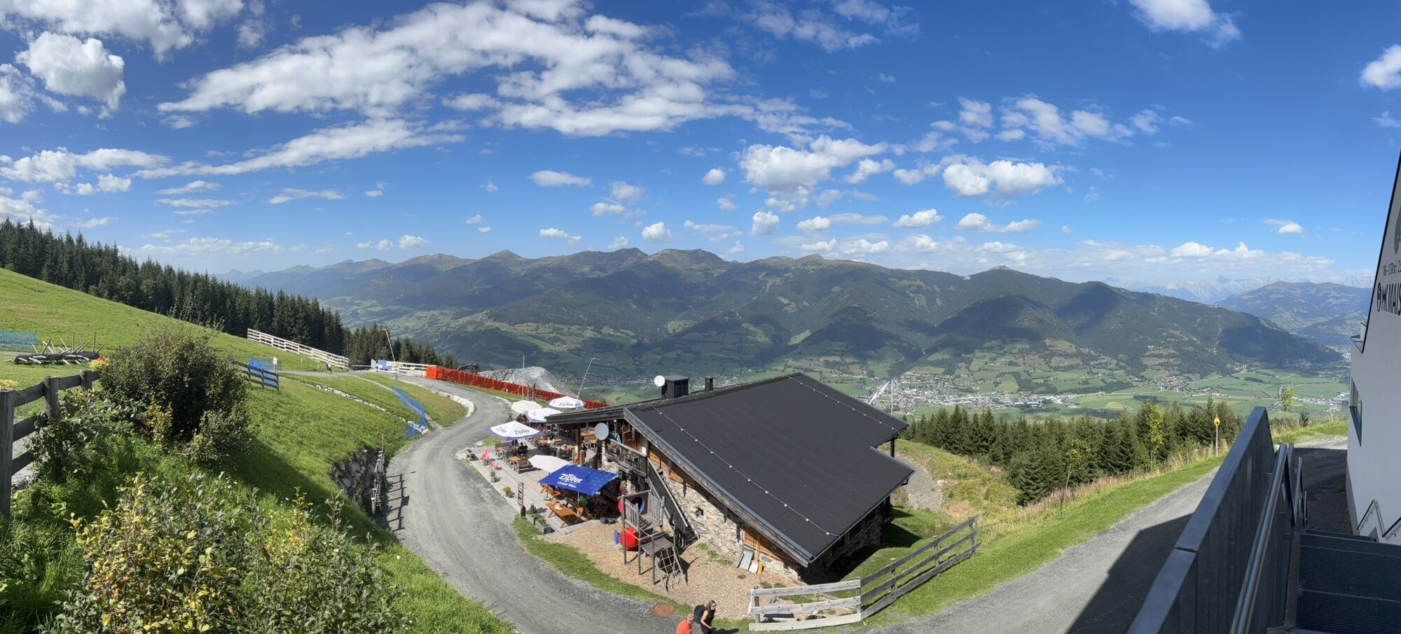
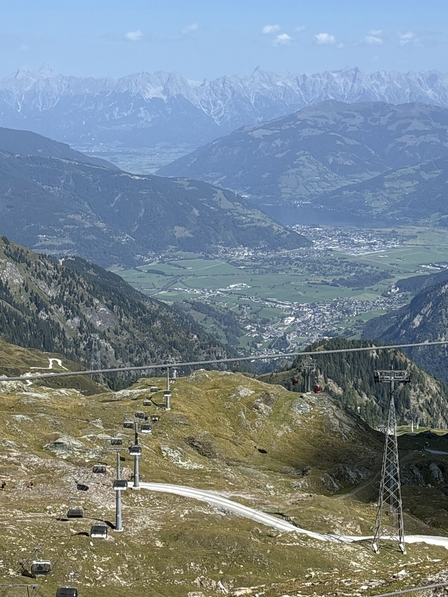
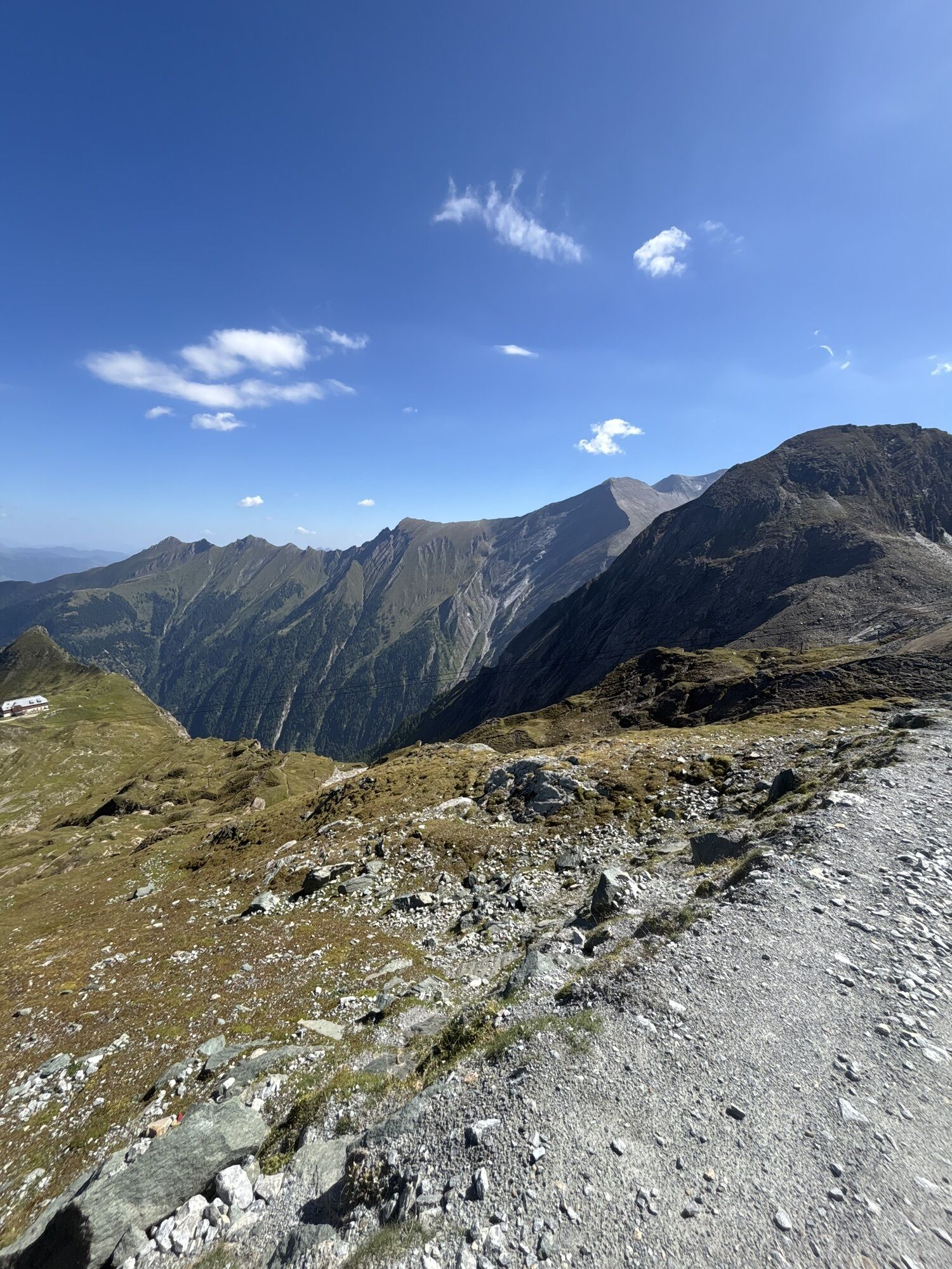
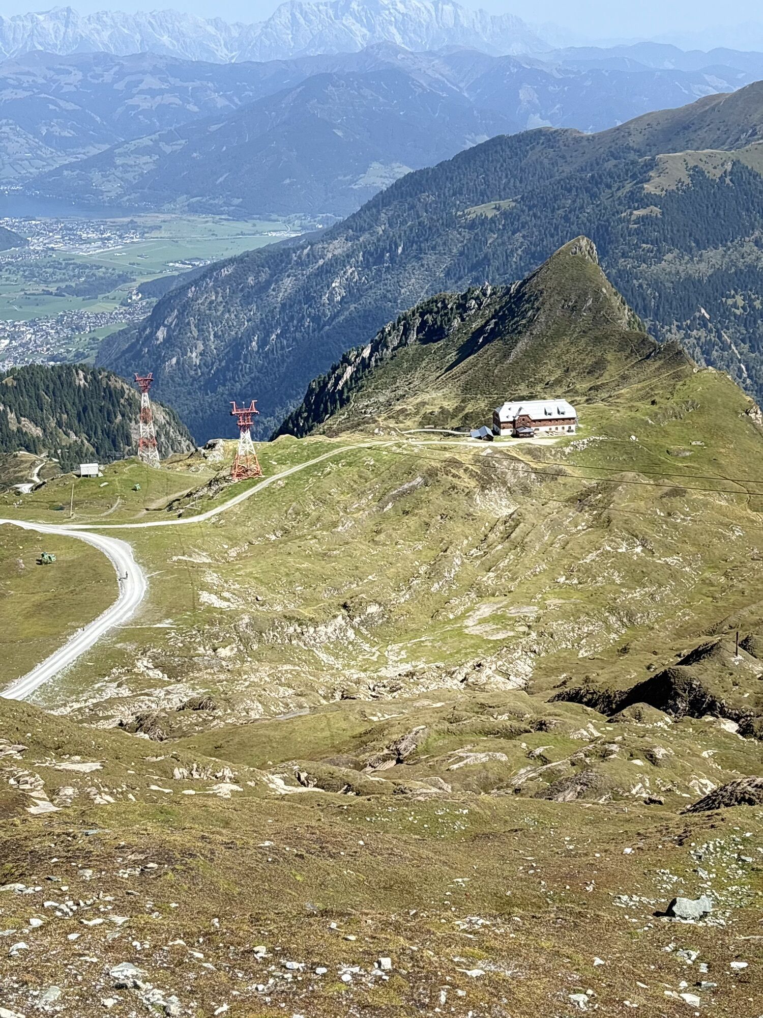
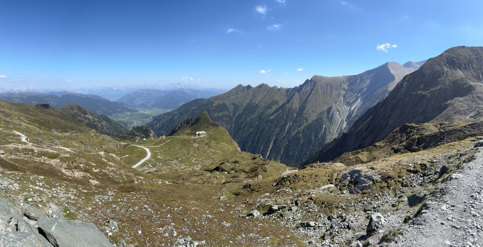


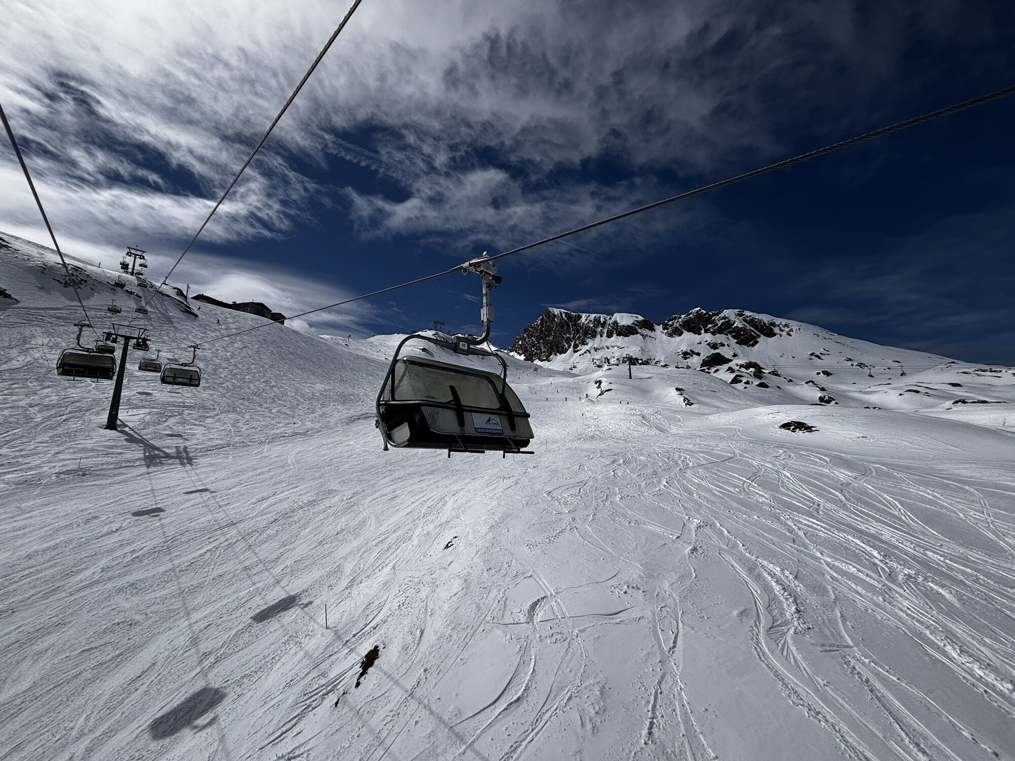
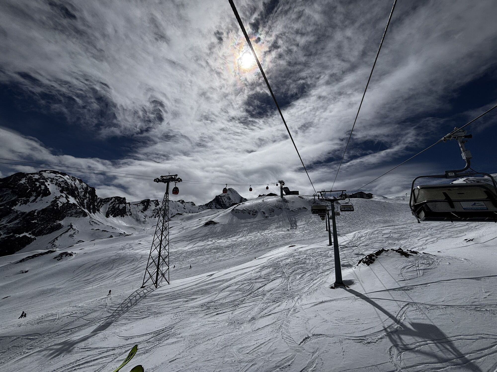

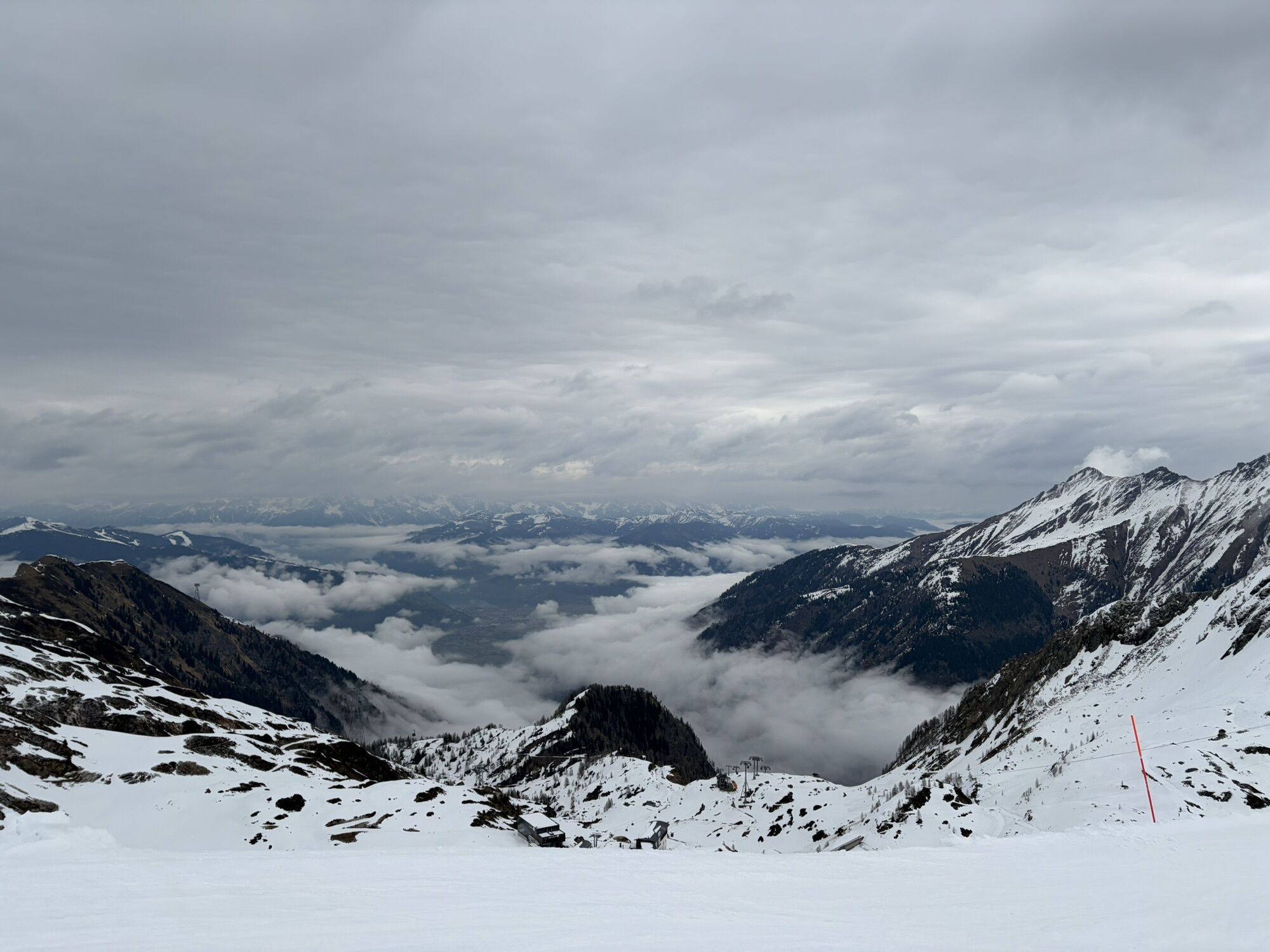
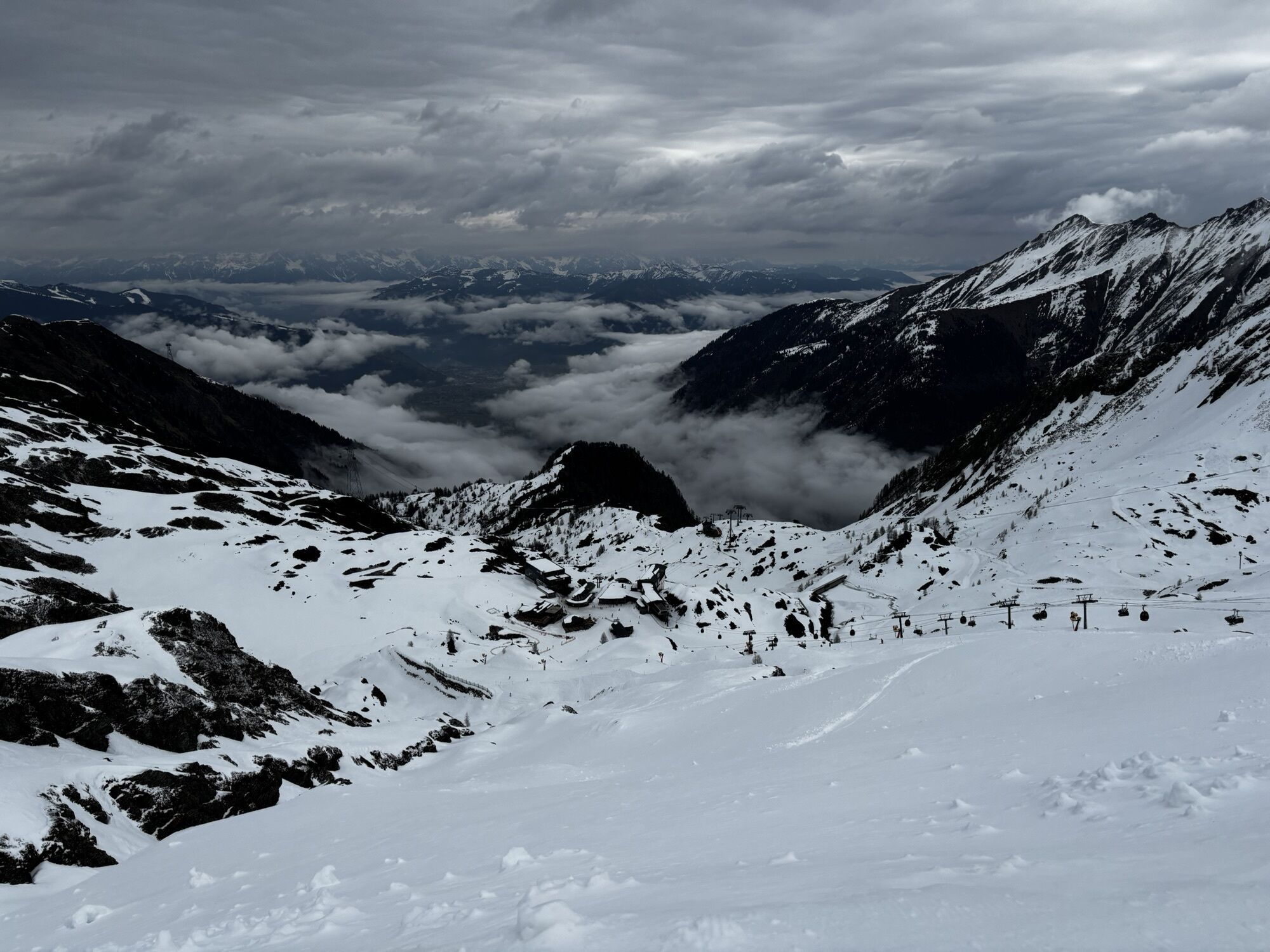

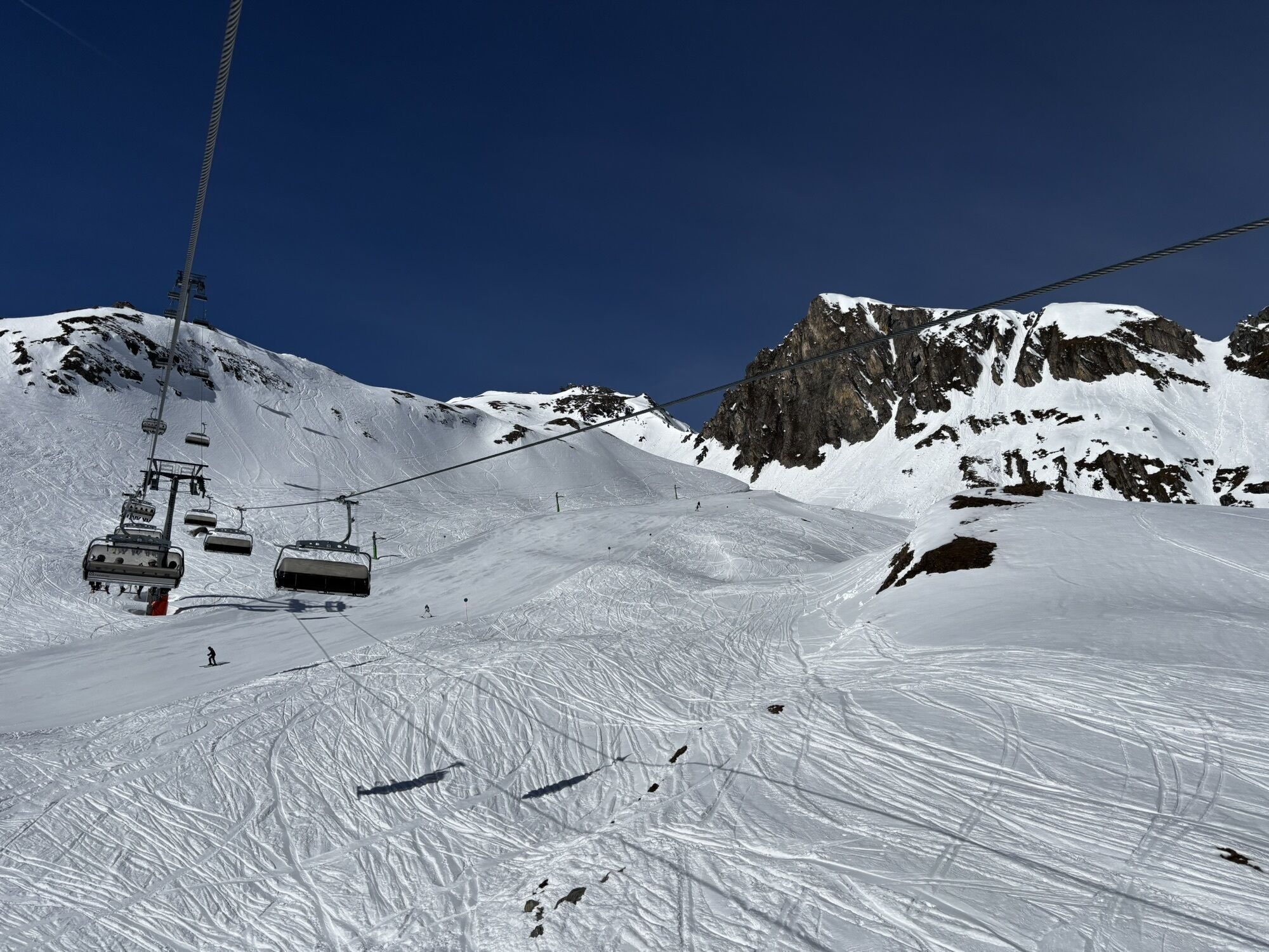
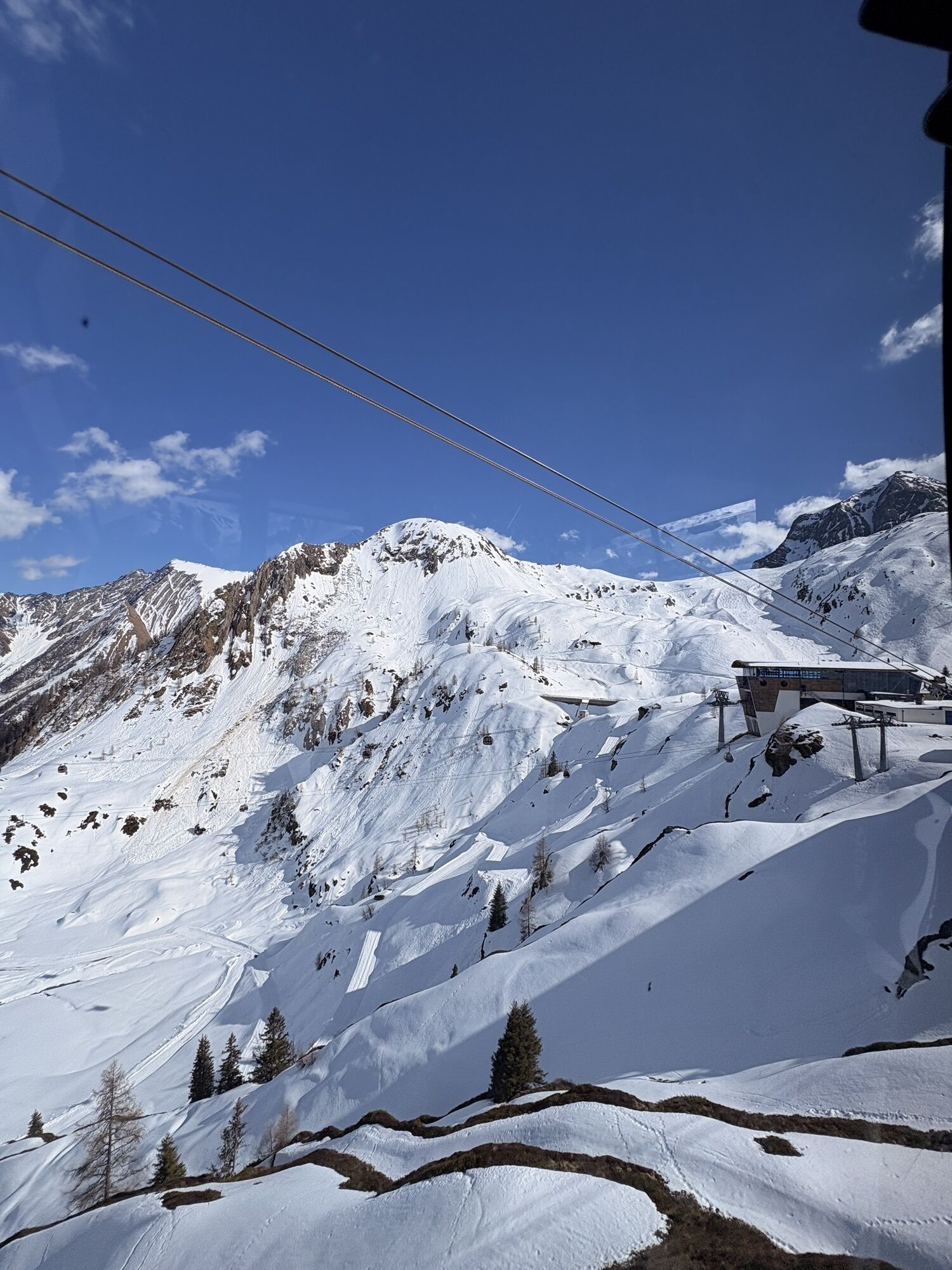


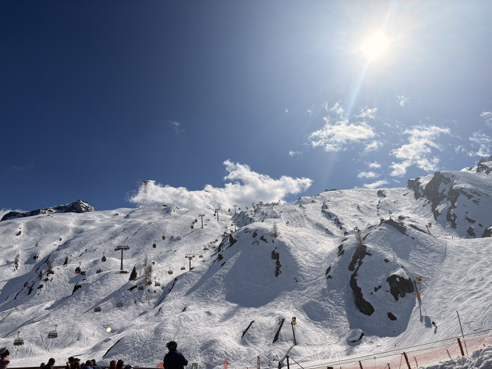


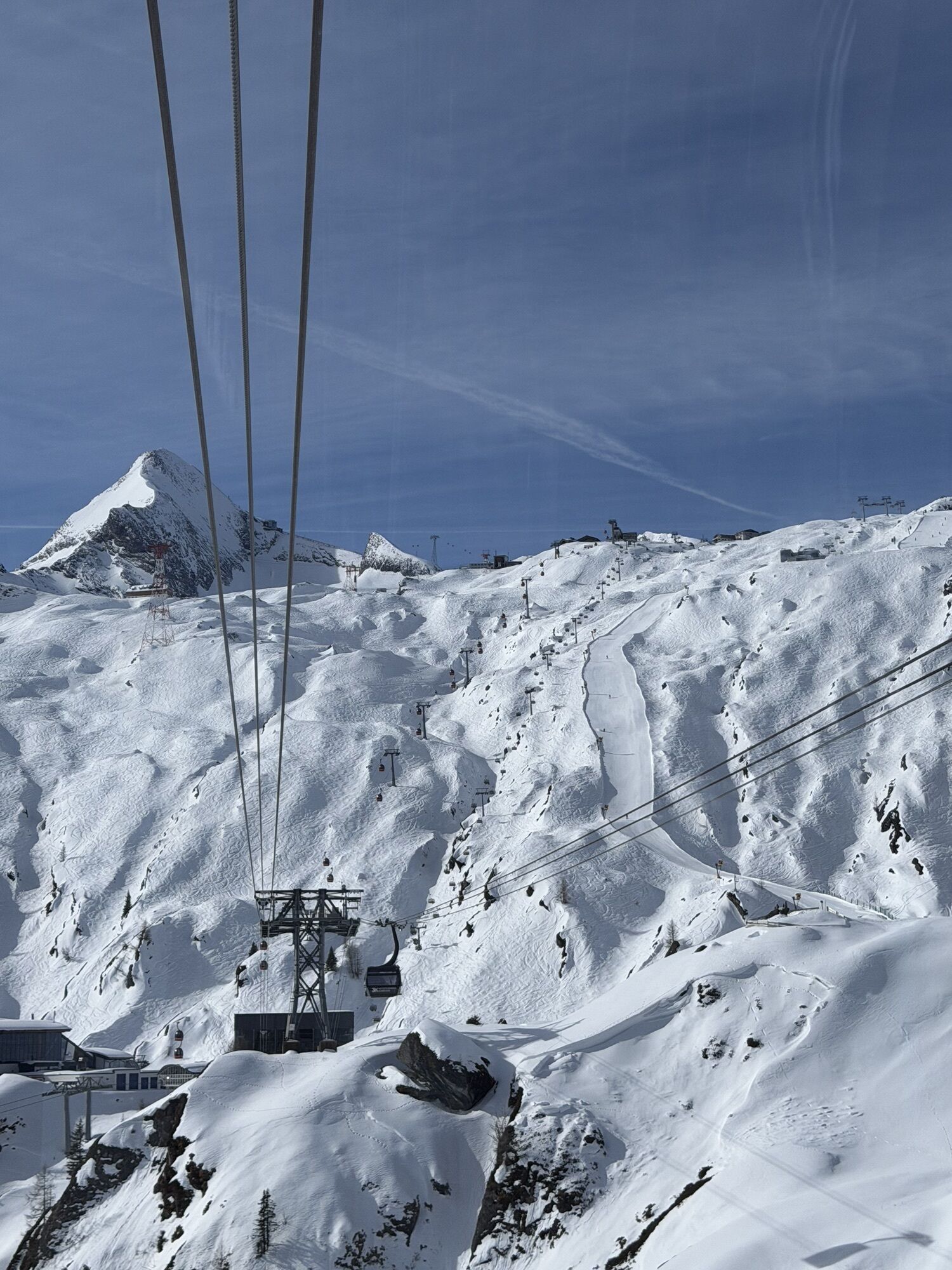


Endurance cyclists enjoy the uniquely scenic ascent with views of the mountain world of the Hohe Tauern National Park and the Zeller Basin from Kaprun over the Maiskogel up to the Alpincenter/Gletschermühle...
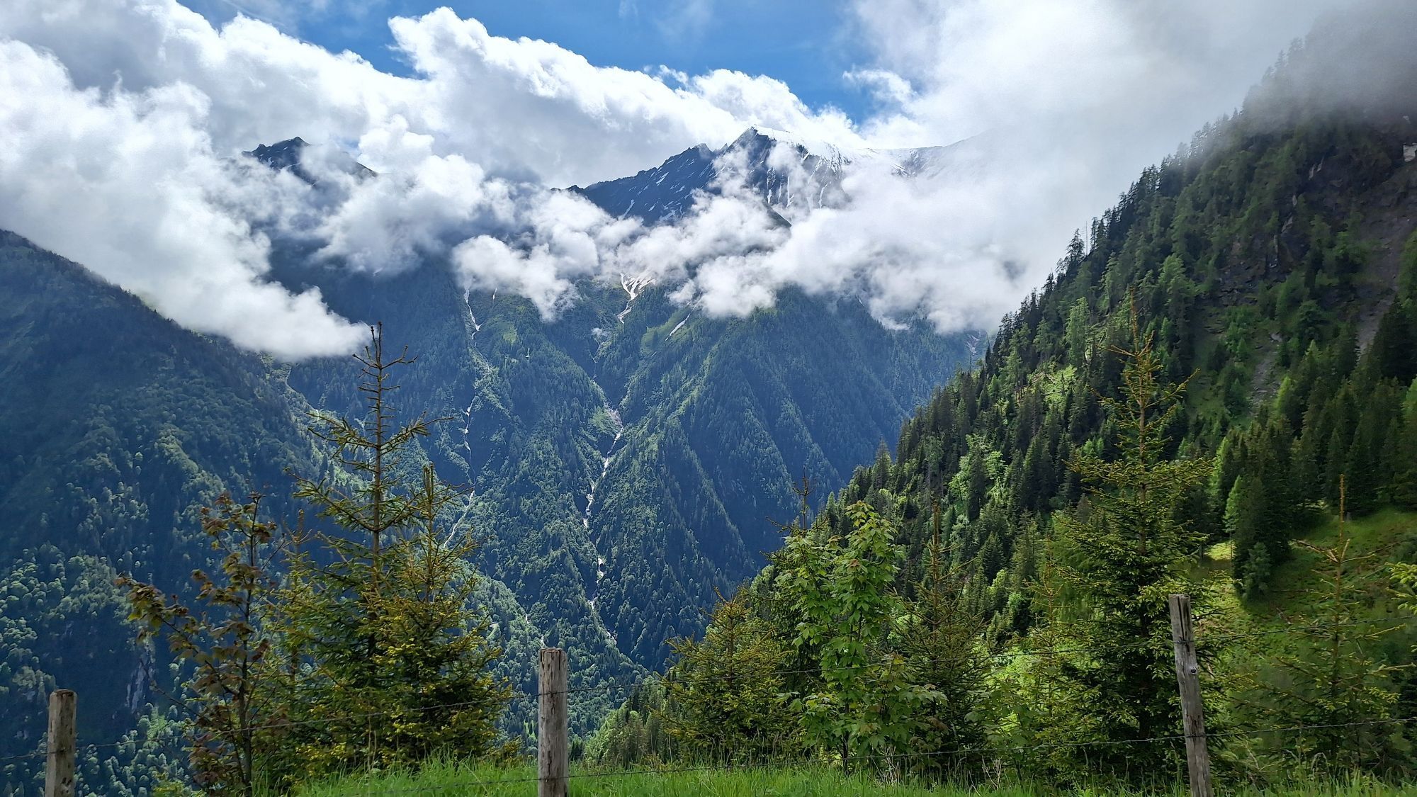
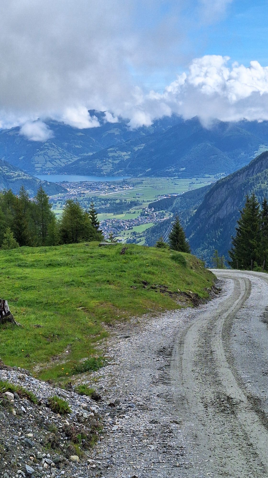
Endurance cyclists enjoy the uniquely scenic ascent with views of the mountain world of the Hohe Tauern National Park and the Zeller Basin from Kaprun over the Maiskogel up to the Alpincenter/Gletschermühle at 2,450 m. E-bikers will find a free charging station at the Gletschermühle restaurant.

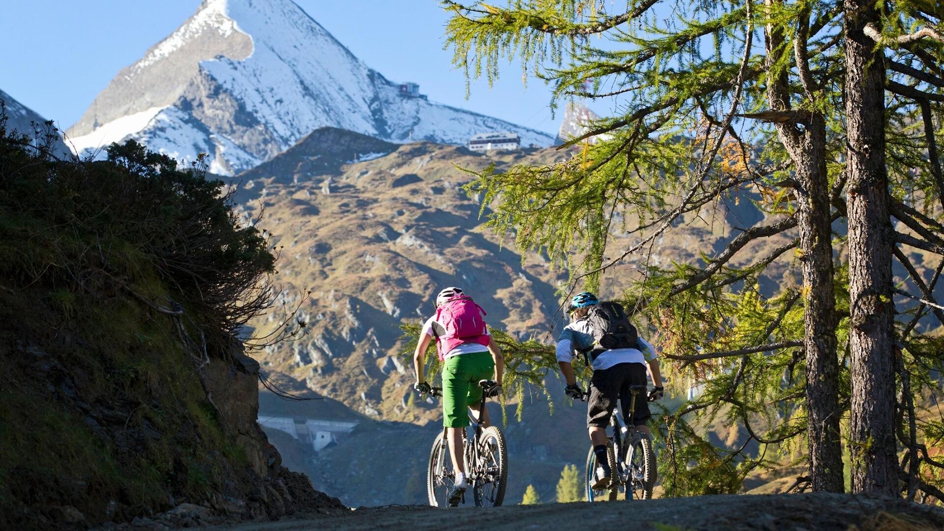

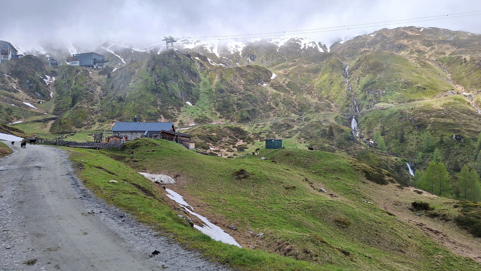
Follow the bike path from the MK Maiskogelbahn through the tunnel to the Schaufelbergstraße junction. Turn right and cycle uphill past the Unteraigen snack station towards Stangerbauer. In the last right turn, pass the barrier and follow the well-marked path to the upper station of the gondola. Then continue to the Maiskogel Alm Ranch, from where the path briefly leads downhill to the rustic Ederalm at 1,420 m. After that, it goes uphill again, past the Salzburger Hut and over the Langwiedboden up to the Alpincenter at 2,450 m.
The return route follows the same path. Descending by gondola is possible!
Áno
The use of the marked and approved routes/trails is permitted from May 1 to November 1 and only at the following times:
May 1 to August 31 from 08:00 to 19:00 September 1 to November 1 from 08:30 to 16:00remain on the marked routes/trails!
The common rules of conduct ensure that the forest and pasture areas continue to provide a unique recreational and living space as well as a workplace for all in the future.
Your behavior influences public opinion and tolerance.
By mountain bike: Follow the well-signposted Tauern bike path from Piesendorf Niedernsill to the valley station of the MK Maiskogelbahn in Kaprun.
Adequate parking facilities available!
Alternatively, you can comfortably gondola with the MK Maiskogelbahn up to 1,570 m (bike transport possible).

Obľúbené výlety v okolí
-
4,3
Maurerkogel (Top)
Turistika 10,5 km -
4,7
Panorama route 3 peaks and 2 lakes
strednáTuristika 7,21 km -
5,0
Wasserfallboden/Mooserboden
ťažkéTuristika 19,5 km -
4,6
Sigmund Thun Klamm, Klammsee, Bürgkogel
svetloTuristika 4,56 km -
4,6
Thumersbach, Runde um den Zeller See
svetloTuristika 13,3 km -
4,7
Fusch: Gleiwitzer Hütte
ťažkéTuristika 8,26 km -
4,5
Areitweg - Plettsauerkopf - Rundwanderung
strednáTuristika 11,8 km -
4,9
Hochsonnberg Runde
strednáMountainbike 59,8 km -
4,4
Sigmund Thun Klamm
svetloTuristika 3,10 km -
4,8
Schmittenhöhe - Hochsonnbergalm - Pinzgauer Hut
strednáTuristika 9,09 km
Turistika a stopovanie


Nenechajte si ujsť ponuky a inšpiráciu na ďalšiu dovolenku
Vaša e-mailová adresa bol pridaný do poštového zoznamu.


