Navigácia na stránke
Získajte túto prehliadku v mobilnom telefóne
Mapa
From Eugendorf to Mondsee and Irrsee

ťažké
Cyklistika
82,32 km
Naskenujte kód QR a spustite navigáciu v aplikácii bergfex
QR Code
Turistika a stopovanie

From Eugendorf to Mondsee and Irrsee

Vzdialenosť
82,3 km
Trvanie
06:10 h
Ascent
587 hm
Hladina mora
481 - 716 m

Úroveň náročnosti: 3

Stiahnutie skladby
Mapa
From Eugendorf to Mondsee and Irrsee
ťažké
Cyklistika
82,32 km

Fotografie našich používateľov

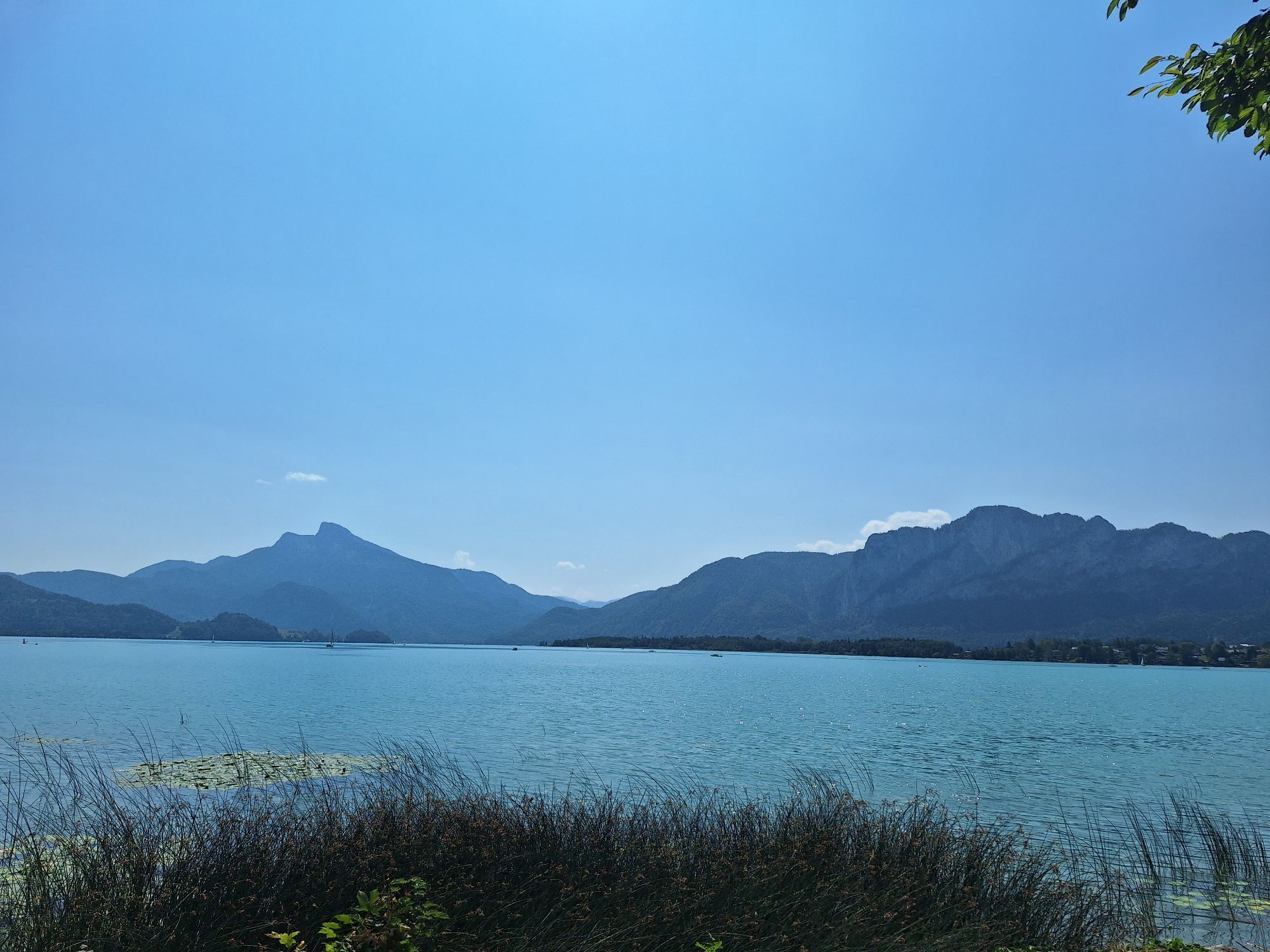
On a section of the Salzkammergut Cycle Path, you ride from Eugendorf via Thalgau towards Mondsee. The well-signposted route passes by green meadows and gentle hills. At the Mondsee beach, you can refresh...

Opis

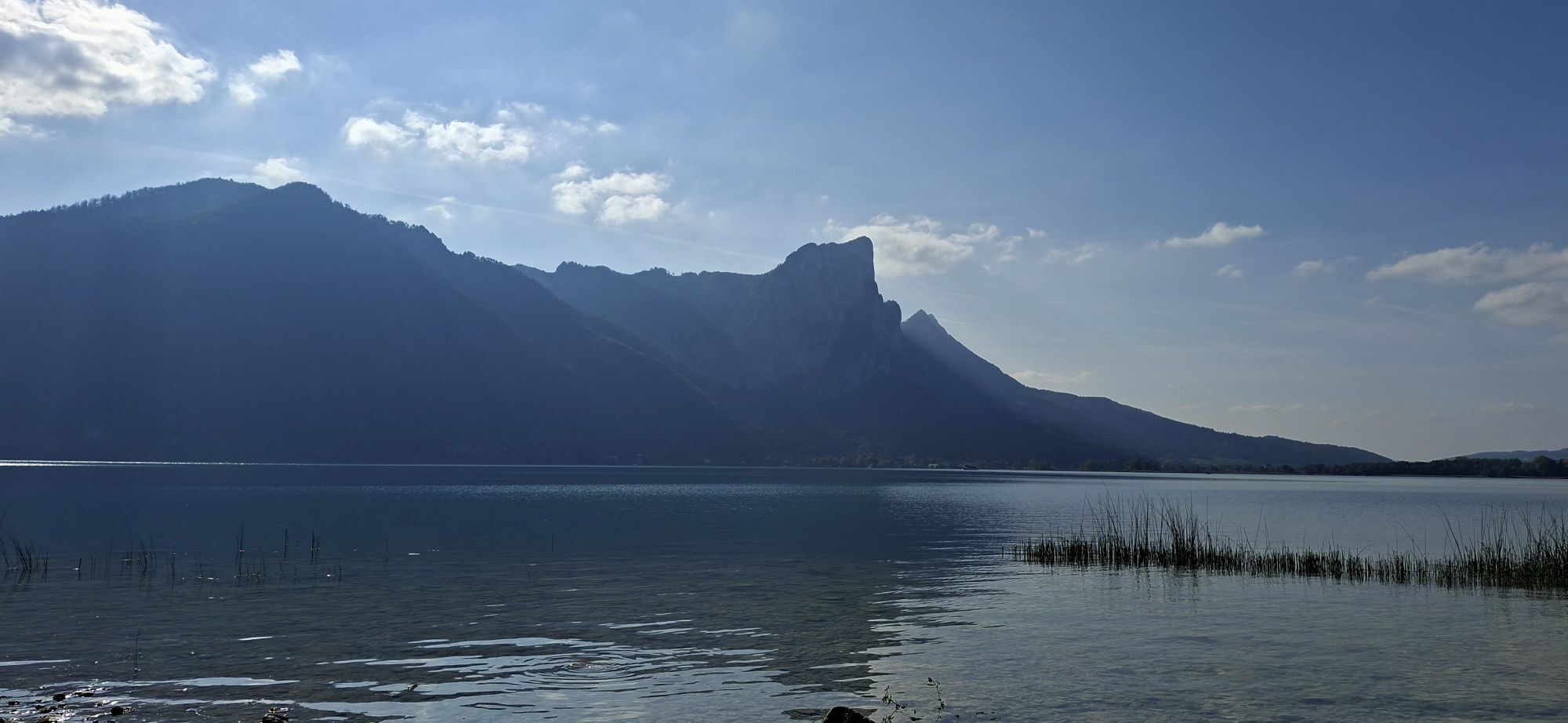
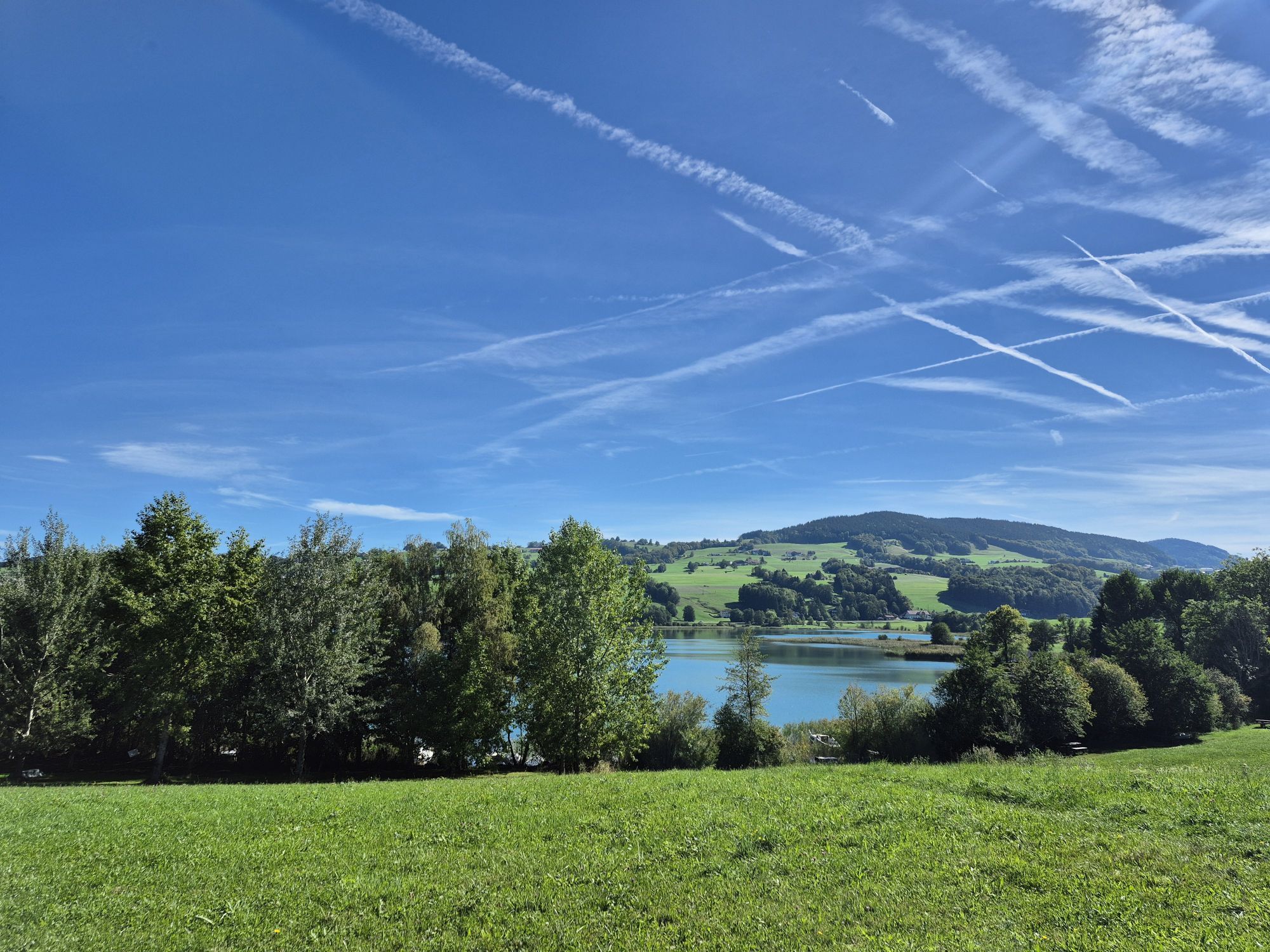
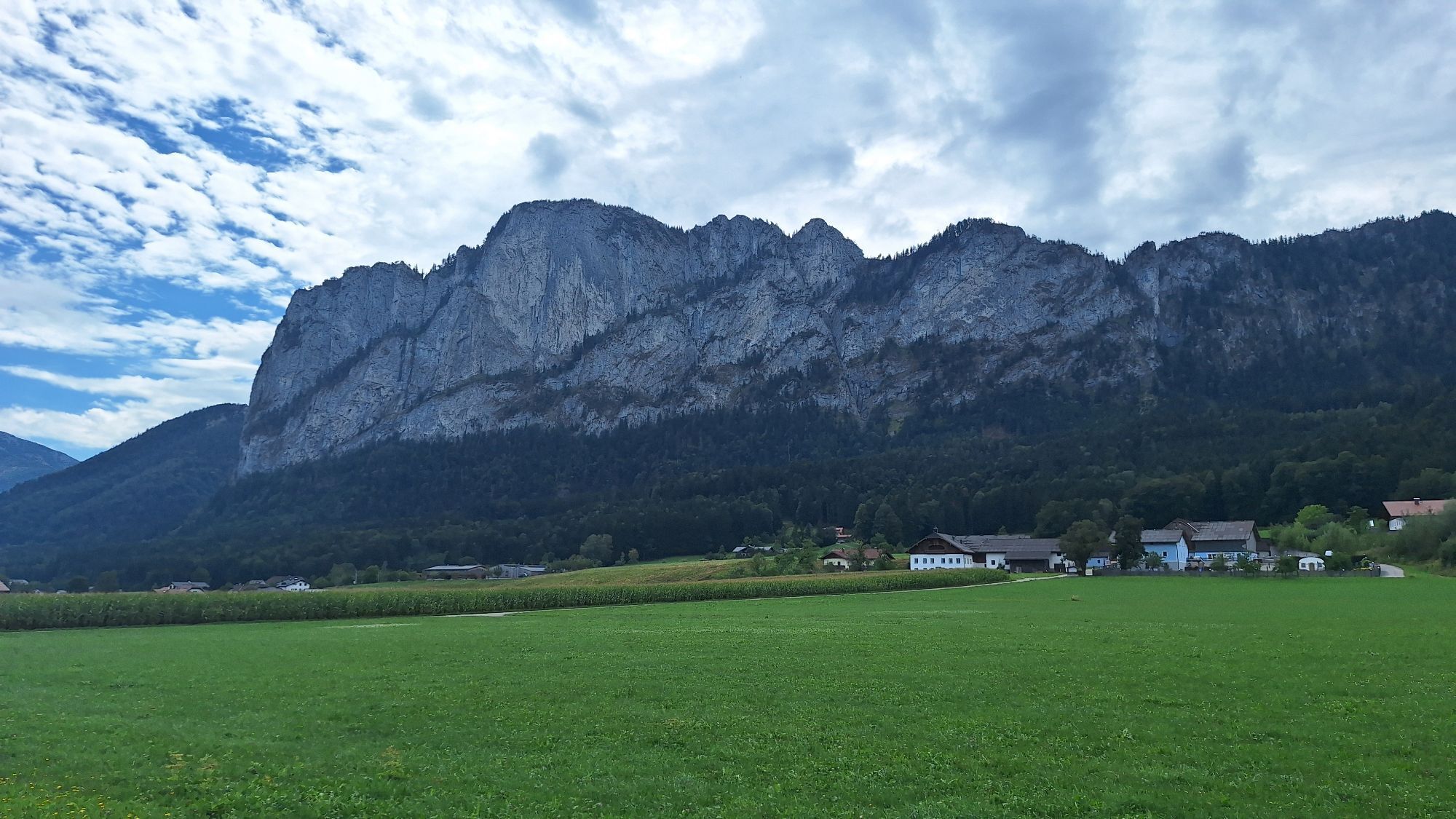
On a section of the Salzkammergut Cycle Path, you ride from Eugendorf via Thalgau towards Mondsee. The well-signposted route passes by green meadows and gentle hills. At the Mondsee beach, you can refresh yourself on hot summer days or be pampered in one of the many inns along the way, e.g. at Gasthof Neuhofen, Restaurant Calouba in Thalgau, or directly at the See Restaurant Mondsee.

The route leads first to Thalgau, then around the Mondsee and into the town of Mondsee. There, the basilica awaits you at the marketplace, which already had a guest appearance in "Sound of Music." Afterwards, you can reward yourself with a delicious "Übeleis" and recharge your energy for the journey towards Oberhofen along the Irrsee. From there, it goes back to Eugendorf via Neumarkt and Henndorf. At the end, the Eugendorf culinary hosts invite you to enjoy traditional and local delicacies to end the rest of the day pleasantly.

If this route is too long, you can also cycle directly to Mondsee, spend a few hours there surrounded by the mountains of the Salzkammergut, and then return to Eugendorf through the green lake landscape.

Trasa
Römisch Katholische Pfarrkirche Eugendorf zum Heiliger Martin
(561 m)
Miesto uctievania
0,9 km
Pfarrkirche Thalgau
(545 m)
Miesto uctievania
13,0 km
Laurentiuskirche St. Lorenz
(485 m)
Miesto uctievania
22,1 km
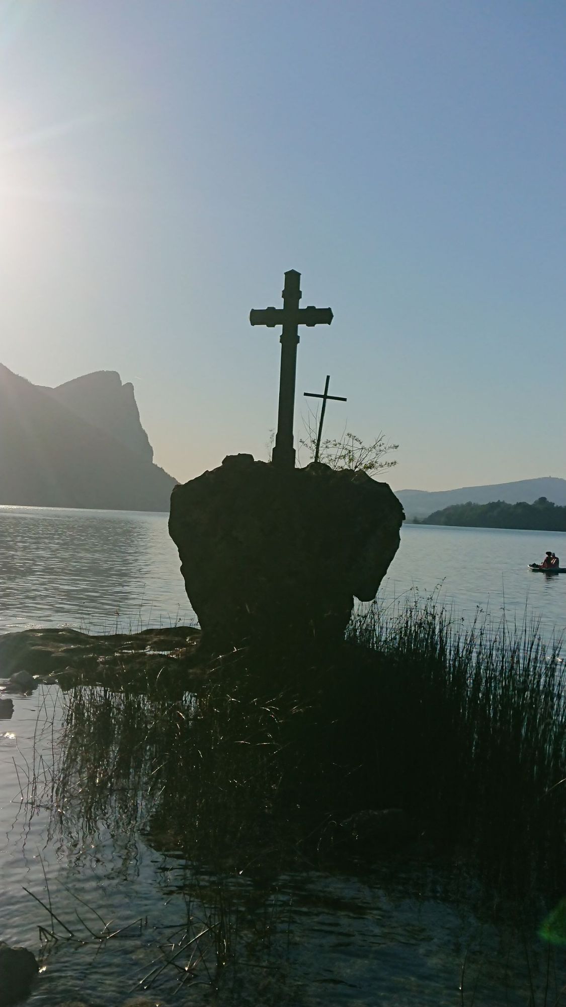
Kreuzstein
(483 m)
Susedstvo
28,8 km
Haubnerkapelle
(561 m)
Miesto uctievania
52,8 km
Gegend
(596 m)
Zúčtovanie
58,3 km
Römisch Katholische Pfarrkirche Eugendorf zum Heiliger Martin
(561 m)
Miesto uctievania
81,2 km
Trasa
Mapa
From Eugendorf to Mondsee and Irrsee
ťažké
Cyklistika
82,32 km
Eugendorf
(562 m)
Dedina
0,8 km
Römisch Katholische Pfarrkirche Eugendorf zum Heiliger Martin
(561 m)
Miesto uctievania
0,9 km
Eugenbach
(537 m)
Zúčtovanie
2,2 km
Gastagwirt
(554 m)
Reštaurácia
2,5 km
Landhotel Gschirnwirt
(555 m)
Reštaurácia
2,7 km
Schaming
(556 m)
Zúčtovanie
2,9 km
Golfplatzrestaurant
(569 m)
Reštaurácia
3,4 km
Unzing
(602 m)
Zúčtovanie
5,4 km
Kraiwiesen
(600 m)
Zúčtovanie
6,0 km
Gasthaus Neuhofen
(615 m)
Reštaurácia
6,3 km
Enzersberg
(608 m)
Zúčtovanie
8,8 km
Breitwies
(577 m)
Zúčtovanie
9,1 km
Unterdorf
(566 m)
Zúčtovanie
11,0 km
Betenmacher
(554 m)
Reštaurácia
11,7 km
Beisl
(544 m)
Reštaurácia
12,9 km
Thalgau
(544 m)
Dedina
12,9 km
Ro&Ko
(544 m)
Reštaurácia
12,9 km
Pfarrkirche Thalgau
(545 m)
Miesto uctievania
13,0 km
Schmidingkapelle
(532 m)
Miesto uctievania
14,2 km
Bichl
(488 m)
Zúčtovanie
21,4 km
Laurentiuskirche St. Lorenz
(485 m)
Miesto uctievania
22,1 km
St. Lorenz
(485 m)
Dedina
22,2 km
Gries
(489 m)
Susedstvo
23,2 km
Plomberg
(486 m)
Zúčtovanie
23,9 km
Michelofen - Harnischwand
(487 m)
Koridor/terén
24,9 km
Scharfling
(482 m)
Zúčtovanie
26,5 km
Gasthof Scharflingerhof
(483 m)
Reštaurácia
26,6 km
Kreuzstein
(483 m)
Susedstvo
28,8 km
Oberburgau
(483 m)
Dedina
31,0 km
Oberleiten
(487 m)
Susedstvo
31,8 km
See am Mondsee
(483 m)
Zúčtovanie
31,9 km
Marienau
(487 m)
Zúčtovanie
32,9 km
Ort am Mondsee
(499 m)
Zúčtovanie
33,2 km
Gasthof Seestern
(497 m)
Reštaurácia
33,3 km
Niedersee
(515 m)
Zúčtovanie
35,2 km
Pichl-Auhof
(484 m)
Zúčtovanie
35,7 km
Maierhof
(485 m)
Zúčtovanie
38,6 km
Wirt zu Wangau
(485 m)
Reštaurácia
39,3 km
Mondsee
(490 m)
Dedina
43,9 km
Hochkreuz-Kapelle
(506 m)
Miesto uctievania
44,5 km
Schlößl
(547 m)
Dedina
45,2 km
Haubnerkapelle
(561 m)
Miesto uctievania
52,8 km
Fischhof
(574 m)
Zúčtovanie
55,1 km
Harberg
(572 m)
Zúčtovanie
57,3 km
Gegend
(596 m)
Zúčtovanie
58,3 km
Sighartstein
(562 m)
Dedina
63,6 km
Schloßwirt
(568 m)
Reštaurácia
63,9 km
Wertheim
(570 m)
Dedina
64,5 km
Haslach
(587 m)
Susedstvo
65,5 km
Berg
(623 m)
Dedina
69,2 km
Henndorf am Wallersee
(542 m)
Dedina
71,7 km
Unzing
(602 m)
Zúčtovanie
76,5 km
Filialkirche zum heiligen Jakobus
(602 m)
Miesto uctievania
76,7 km
Golfplatzrestaurant
(569 m)
Reštaurácia
78,8 km
Schaming
(556 m)
Zúčtovanie
79,1 km
Landhotel Gschirnwirt
(555 m)
Reštaurácia
79,4 km
Eugenbach
(537 m)
Zúčtovanie
79,6 km
Gastagwirt
(554 m)
Reštaurácia
79,7 km
Eugendorf
(562 m)
Dedina
81,2 km
Römisch Katholische Pfarrkirche Eugendorf zum Heiliger Martin
(561 m)
Miesto uctievania
81,2 km
Informácie o prehliadke

The bike tour is suitable for ambitious cyclists as well as leisure riders with a moderate level of difficulty. It leads to the beautiful Mondsee, where you can take a break at the lakeside bath or visit the numerous restaurants along the way.

Technológia
3 / 6
Stav
5 / 6
Krajina
5 / 6
Skúsenosti
5 / 6
Zdieľať prehliadku
Mapa
From Eugendorf to Mondsee and Irrsee
ťažké
Cyklistika
82,32 km
Chyba
Vyskytla sa chyba. Prosím, skúste to znova.
Oceňovanie
3,0
5
(1)
4
(0)
3
(0)
2
(0)
1
(1)
Napíšte recenziu

Recenzie pomáhajú ostatným používateľom vybrať si ďalšie dobrodružstvo. Prosím, hodnoťte len prehliadku, nie počasie alebo občerstvenie.

Vyberte jednu z hviezdičiek a ohodnoťte prehliadku
Zlé turné
Slabé turné
Priemerné turné
Dobrá prehliadka
Vynikajúca prehliadka
Turistika a stopovanie

Turistika a stopovanie

Turistika a stopovanie
Viac ako 550.000 návrhov výletov, podrobné mapy a intuitívny plánovač trás robia z aplikácie povinnú výbavu pre všetkých nadšencov prírody.
bergfex