







Goldberg cycling route in the Raurisertal variant via Embach
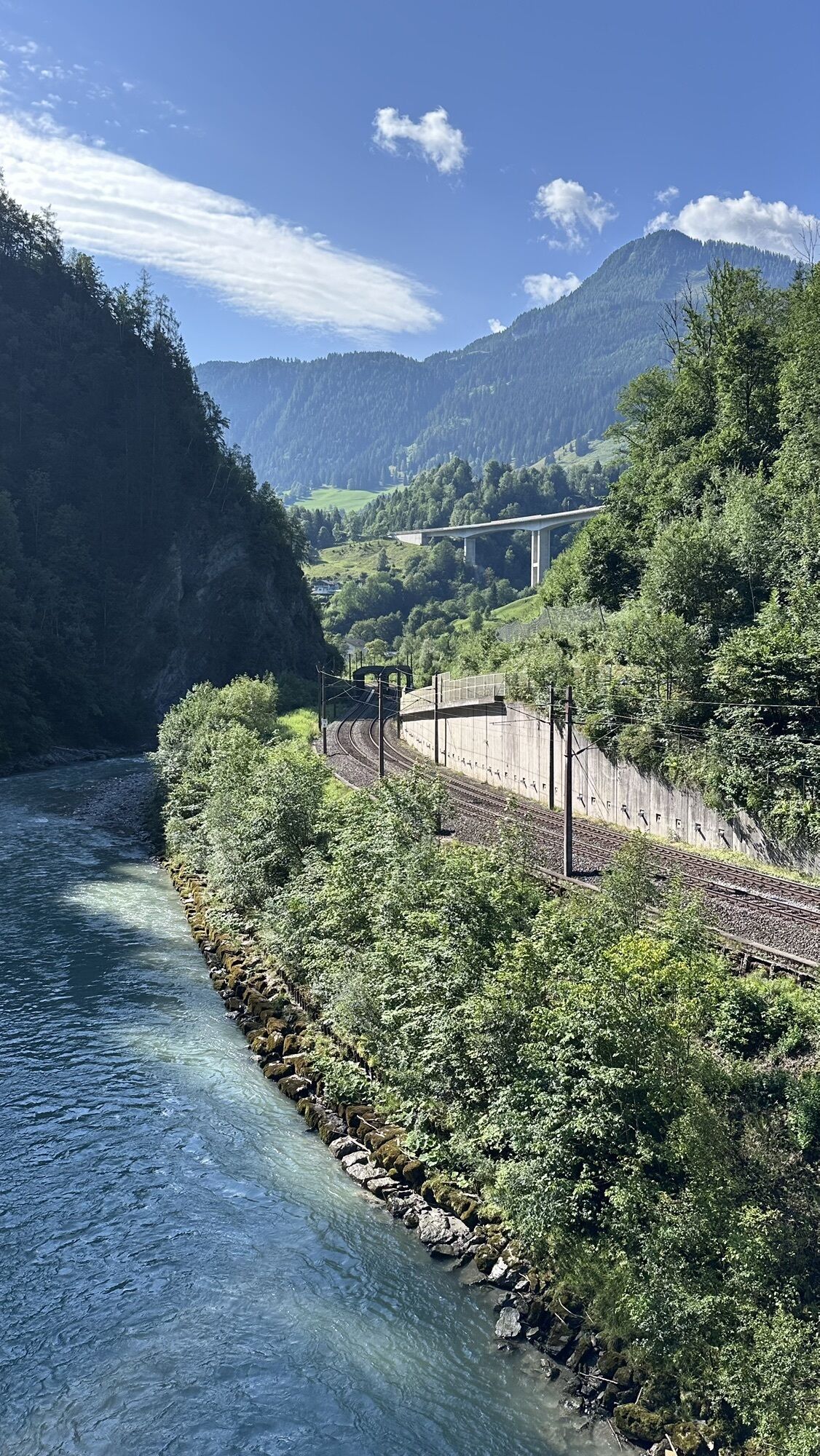
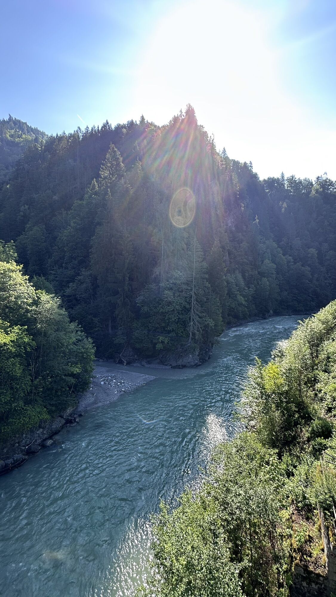
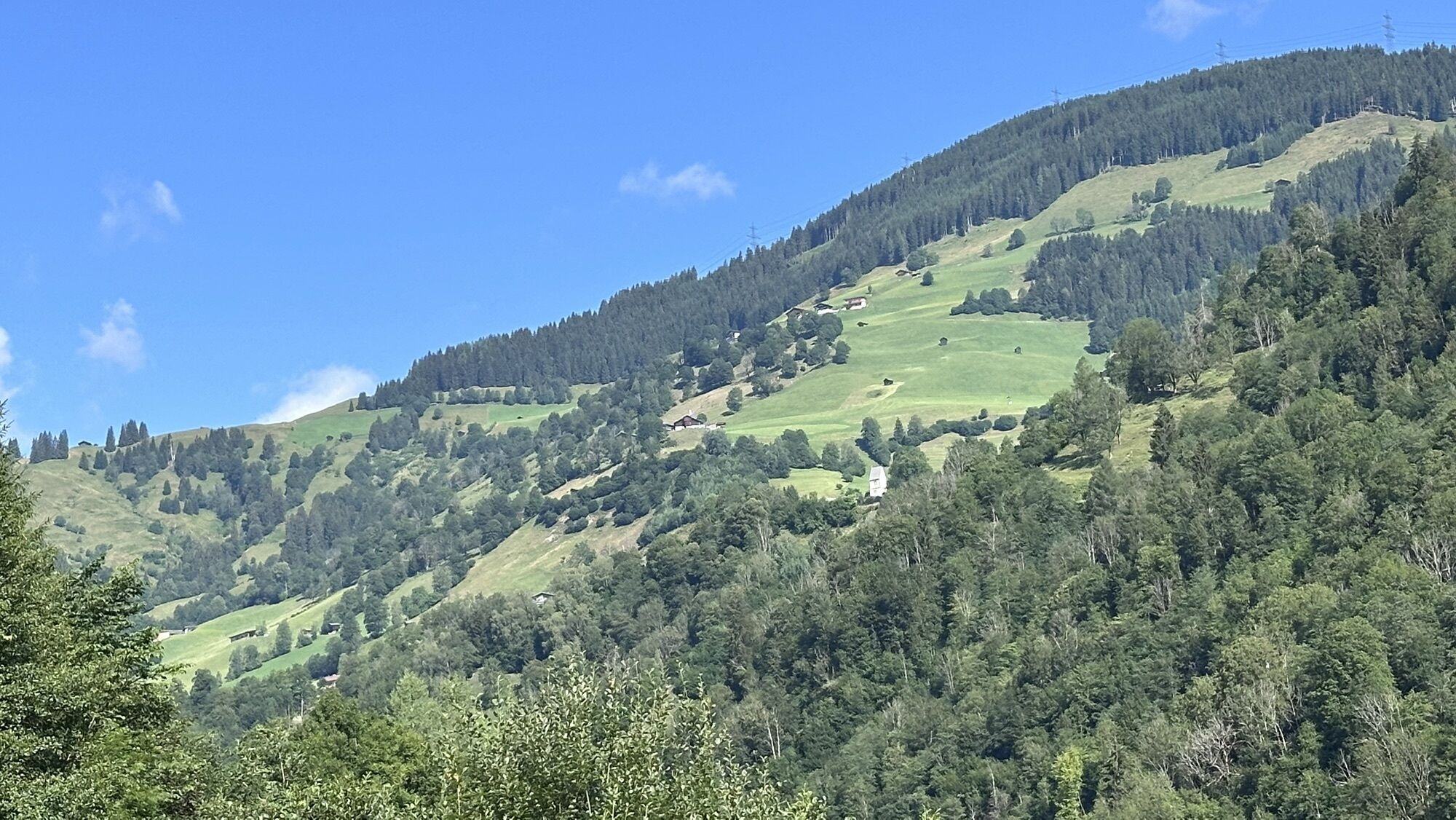
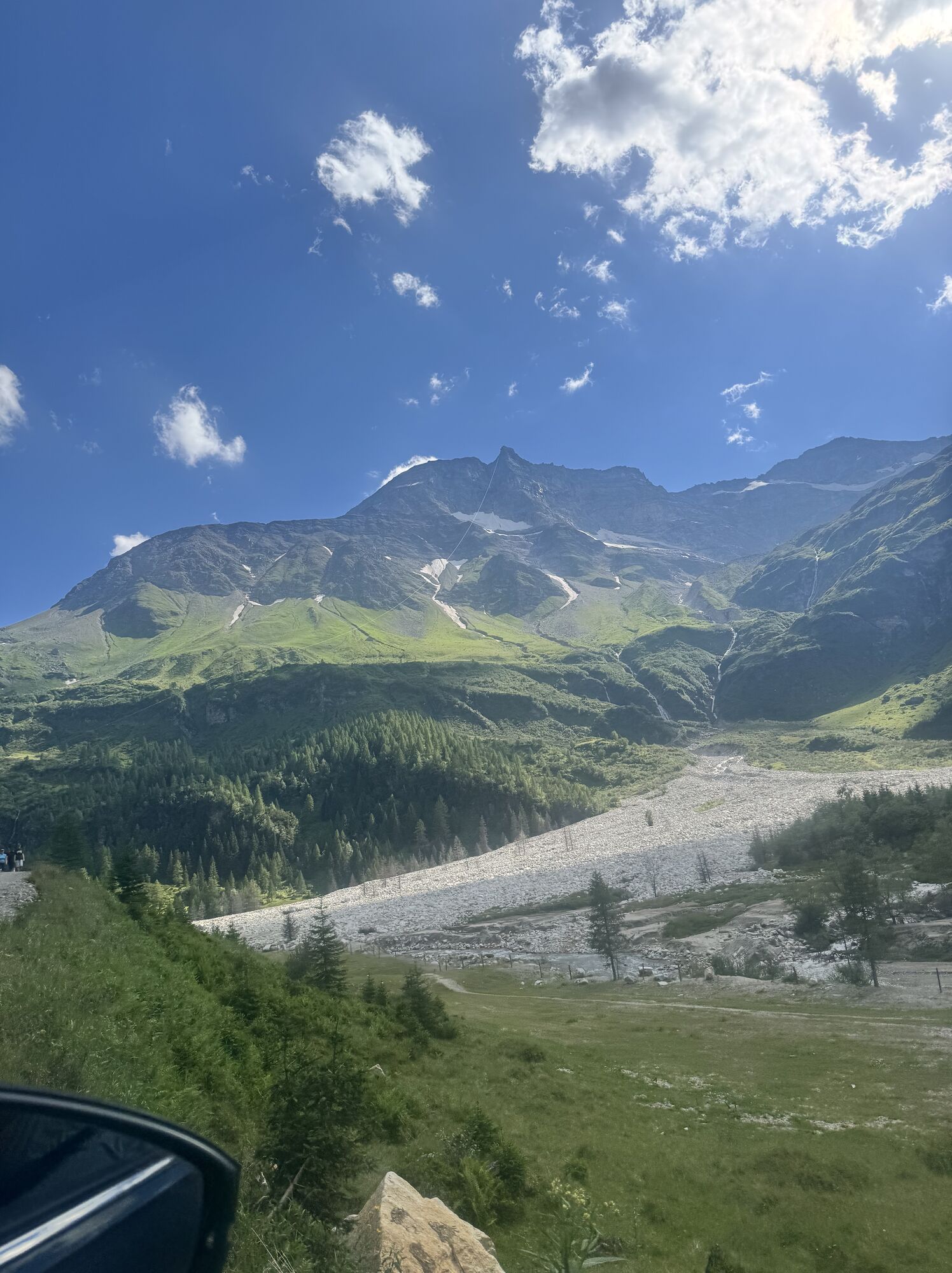
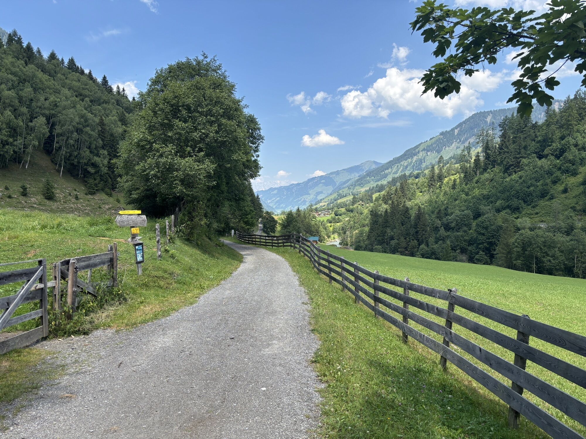
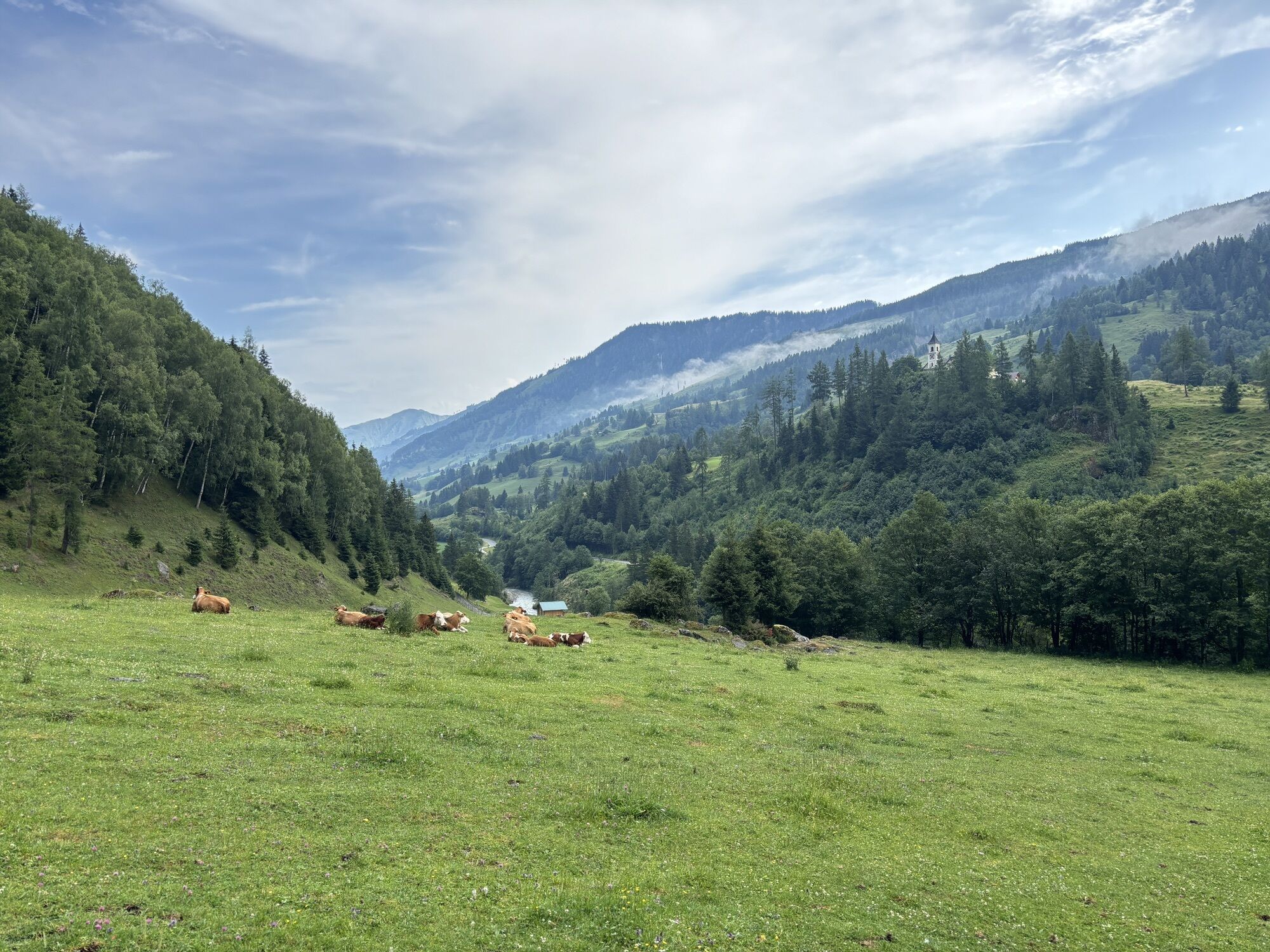
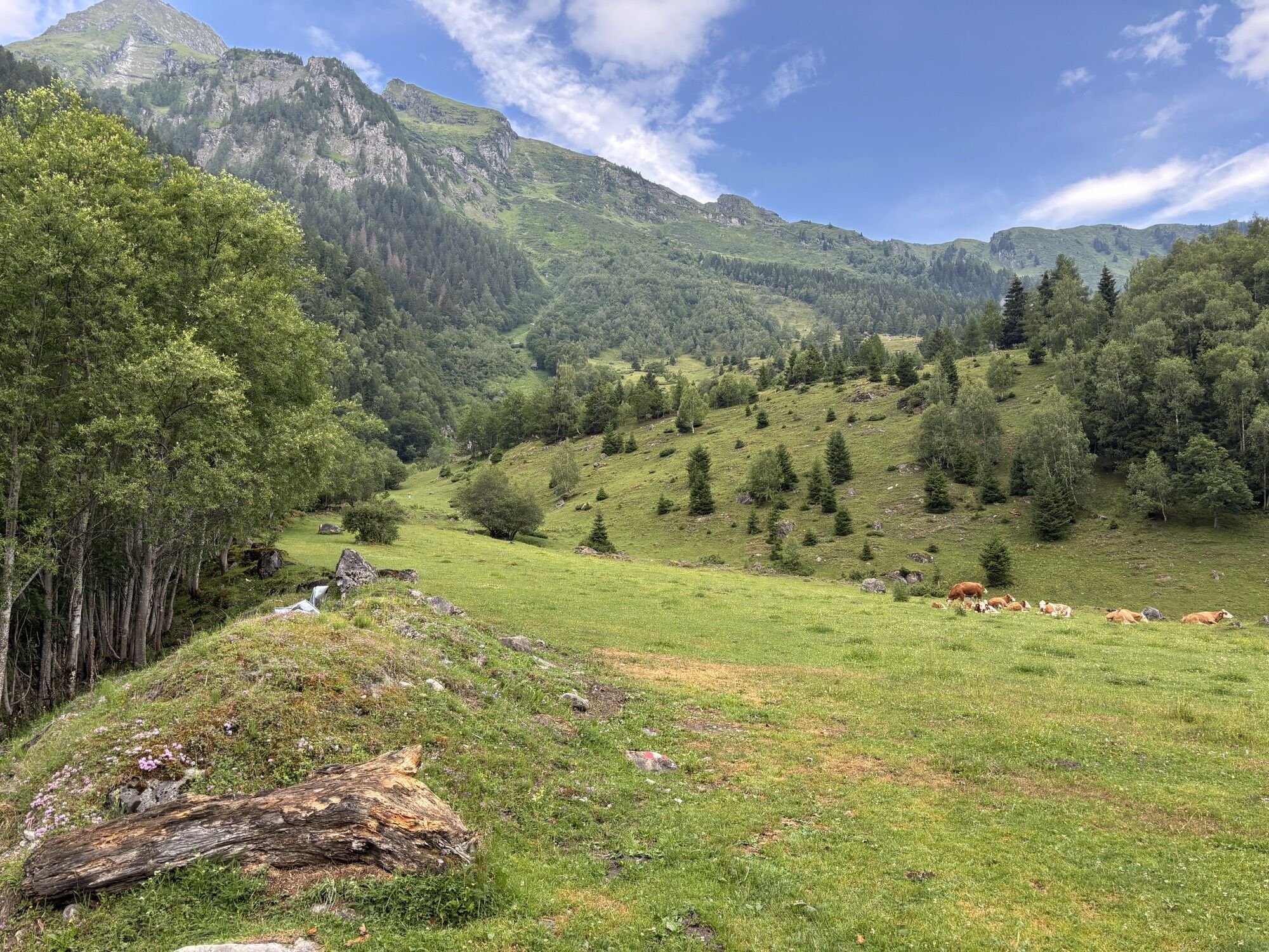
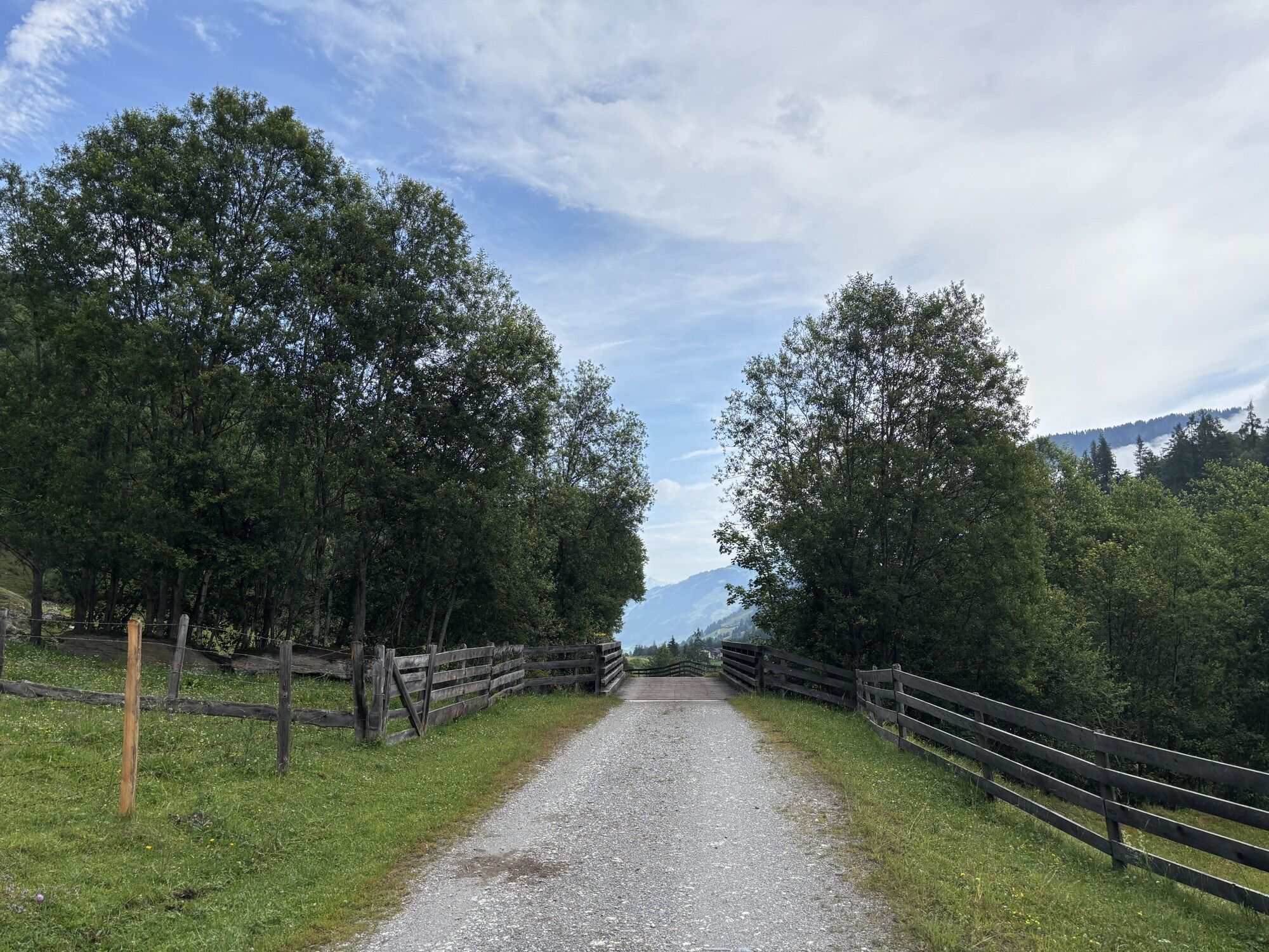
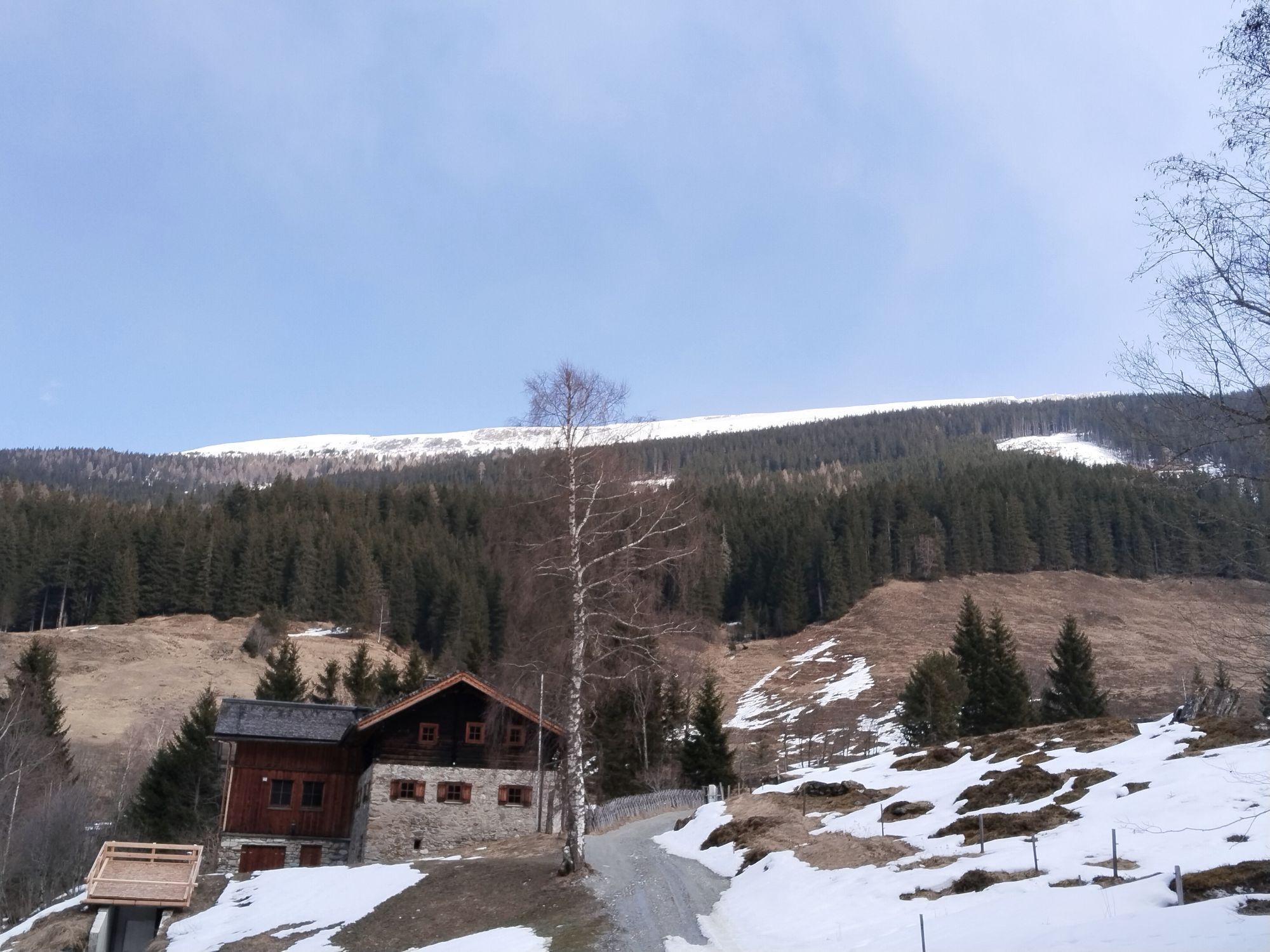
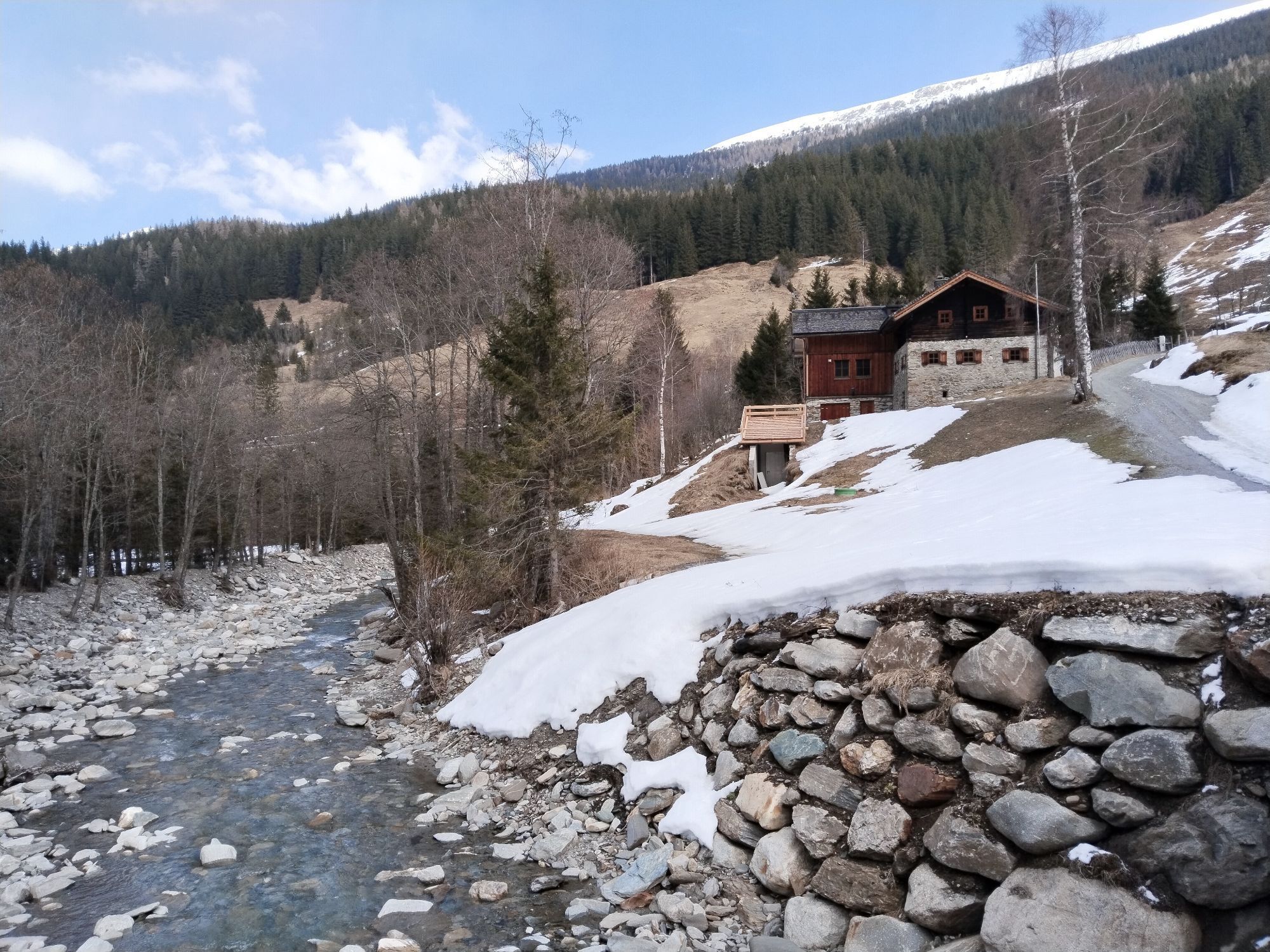
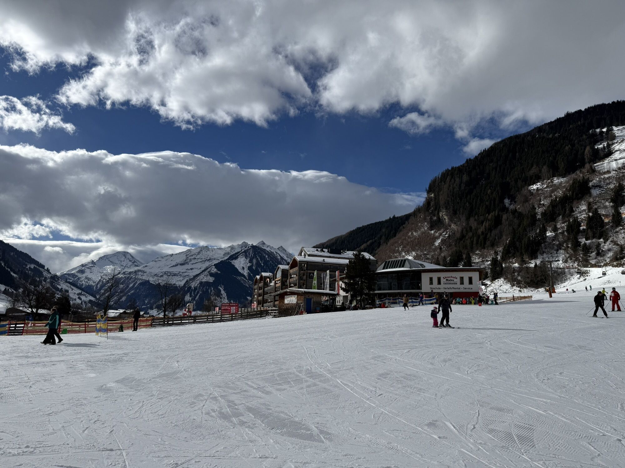
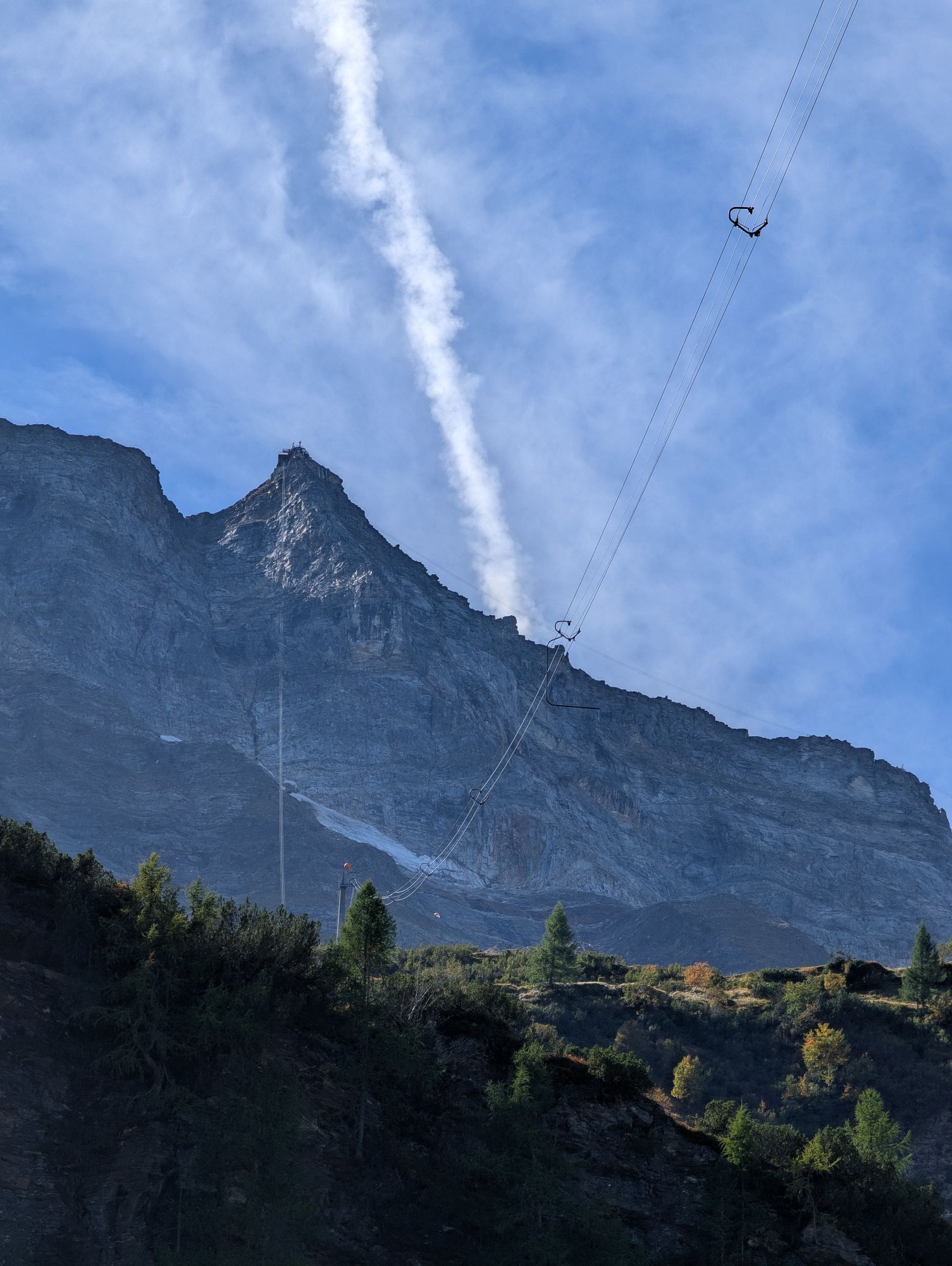
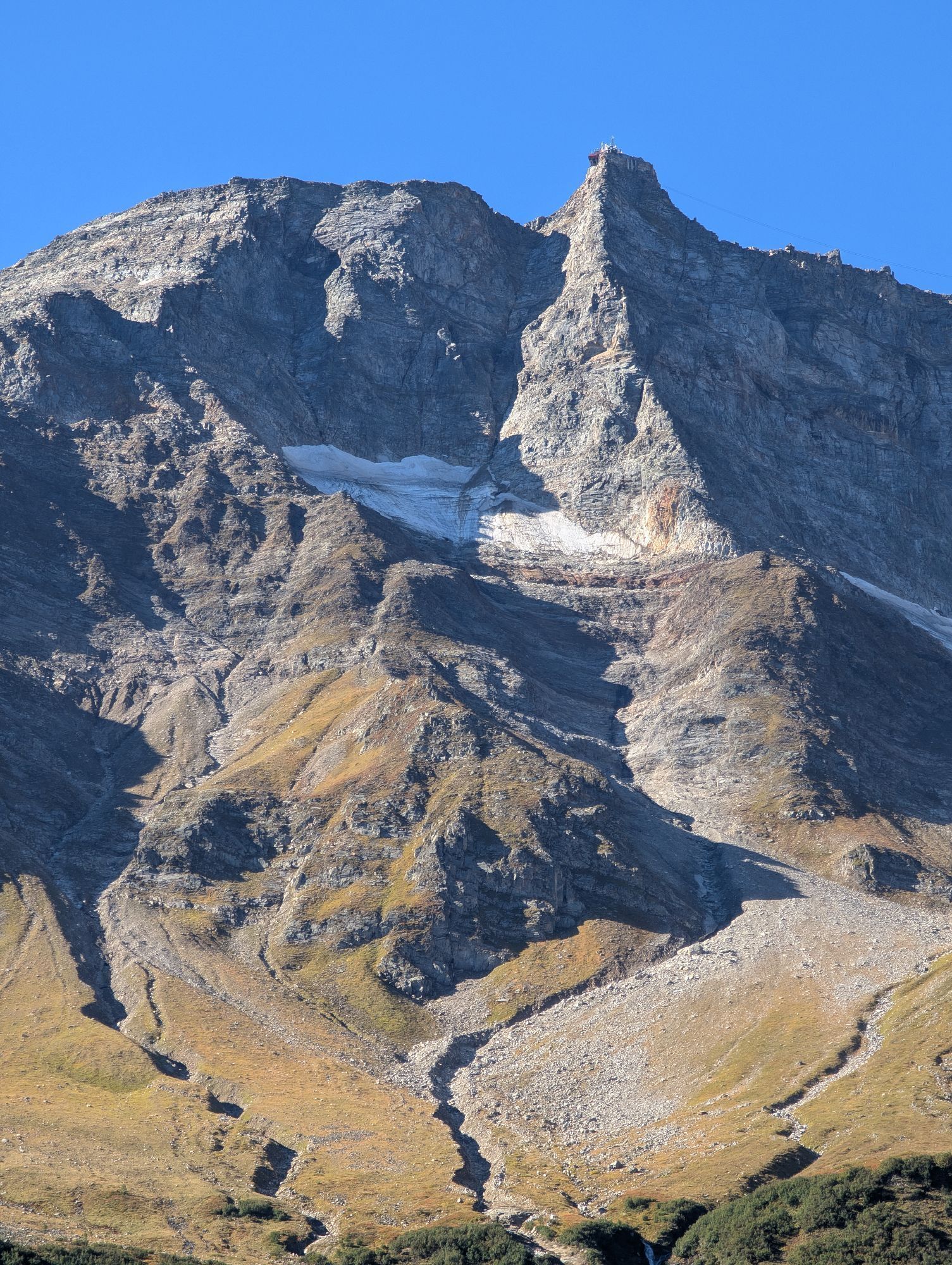
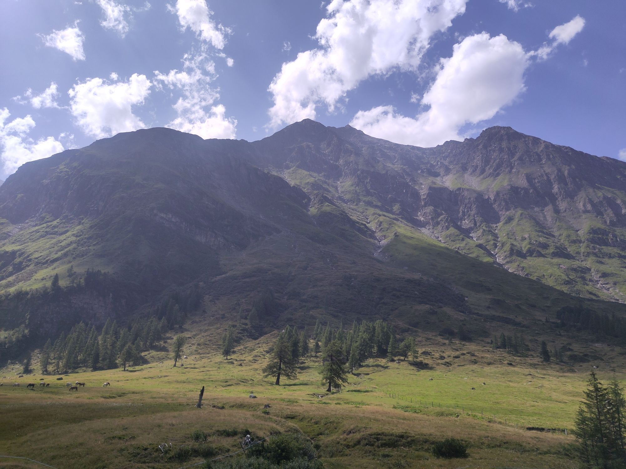
This beautiful mountain bike route is really recommended for everyone who likes to explore nature and the breathtaking landscape of the Raurisertal on two wheels. The view back to the 3,000-meter peaks...
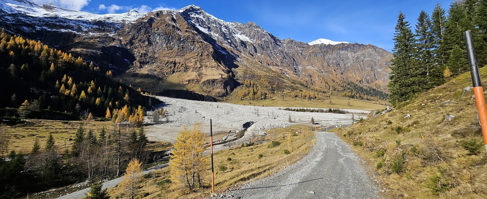
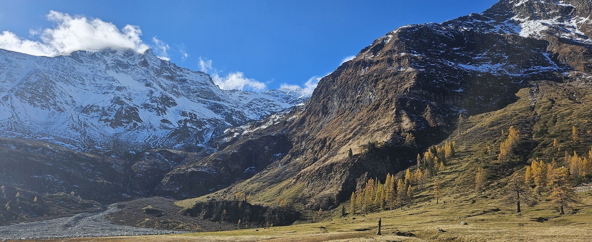
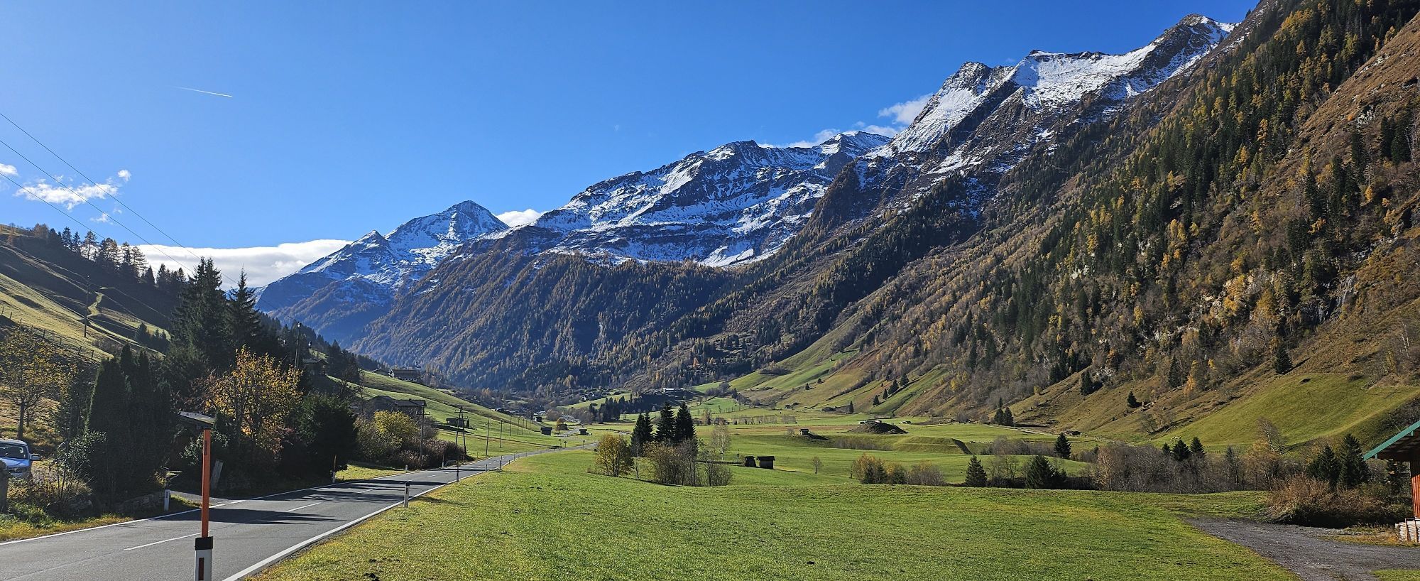
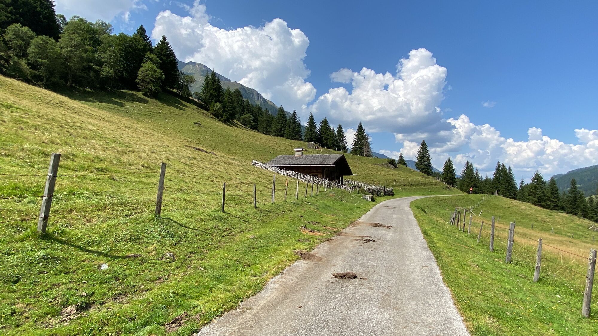
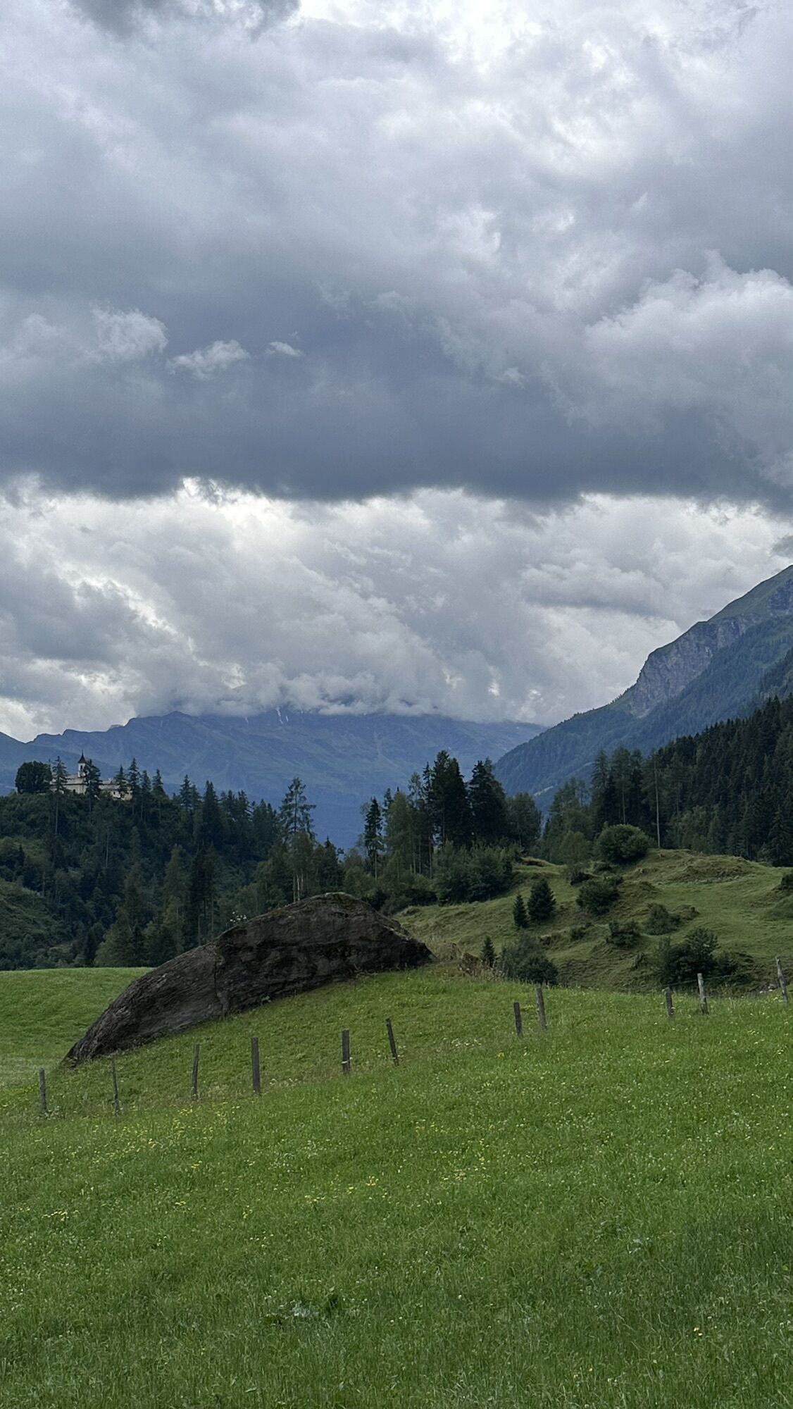
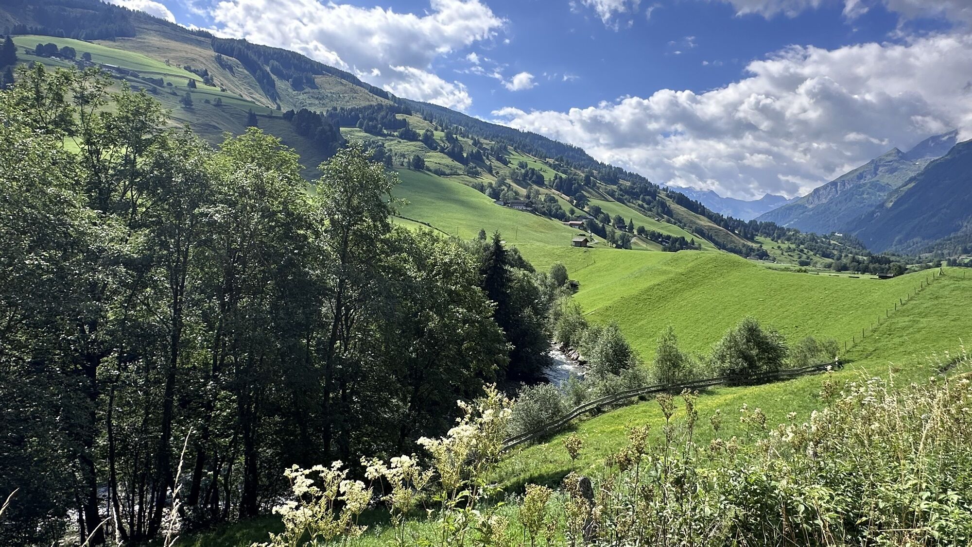
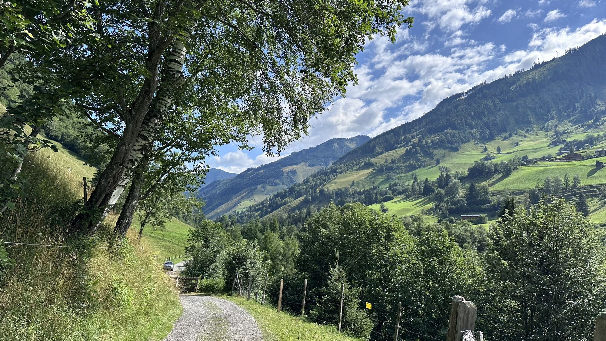
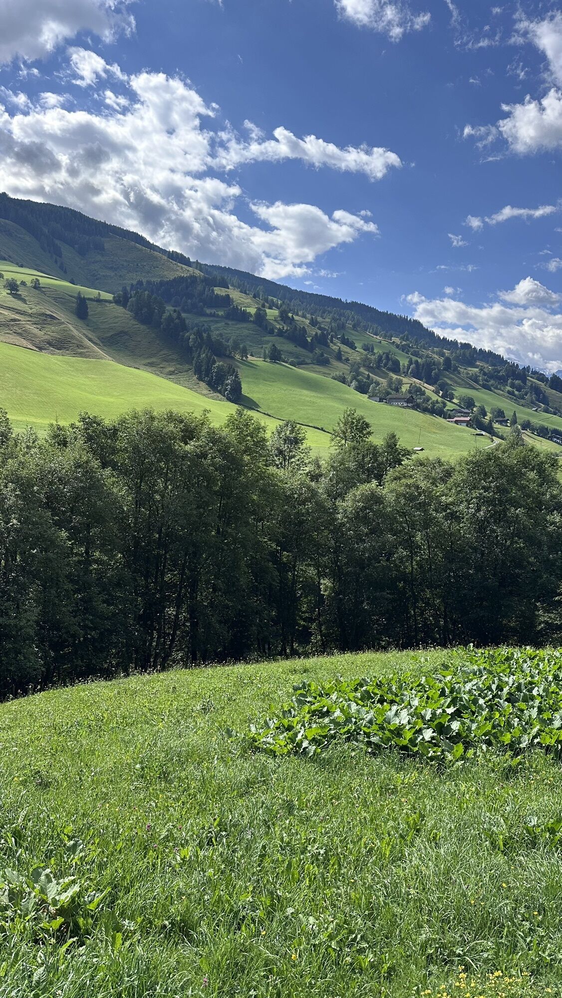
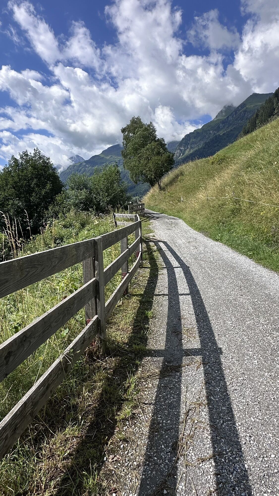
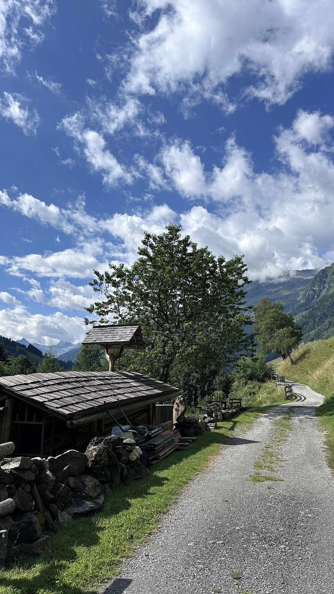
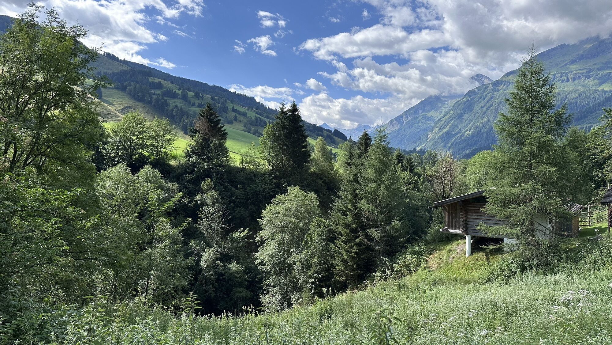
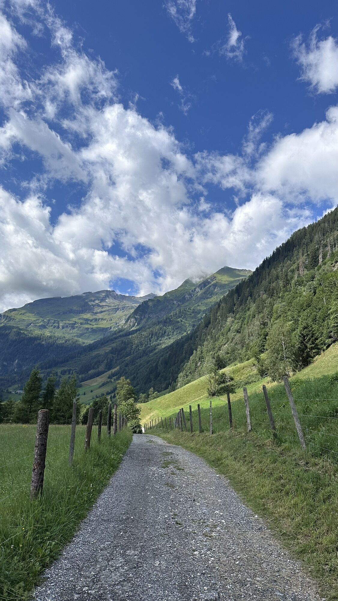
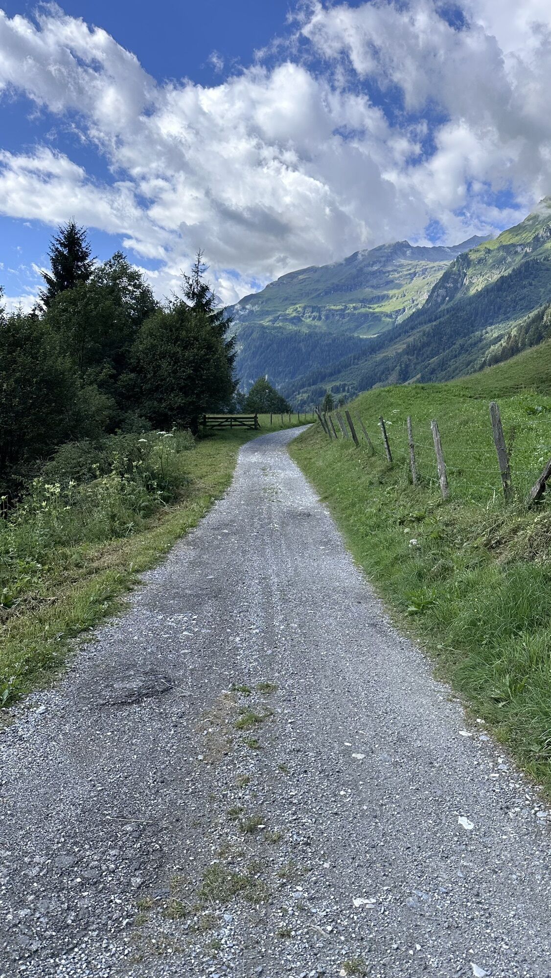
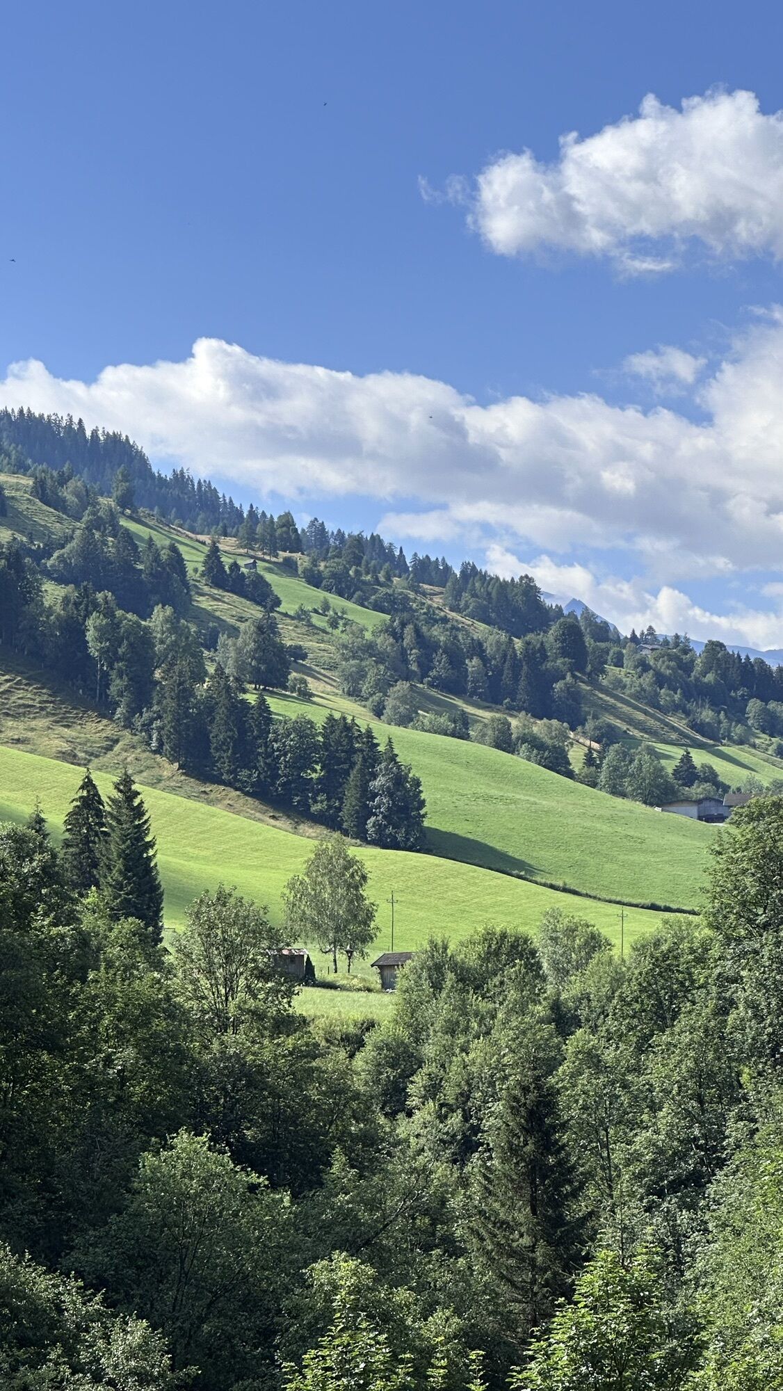
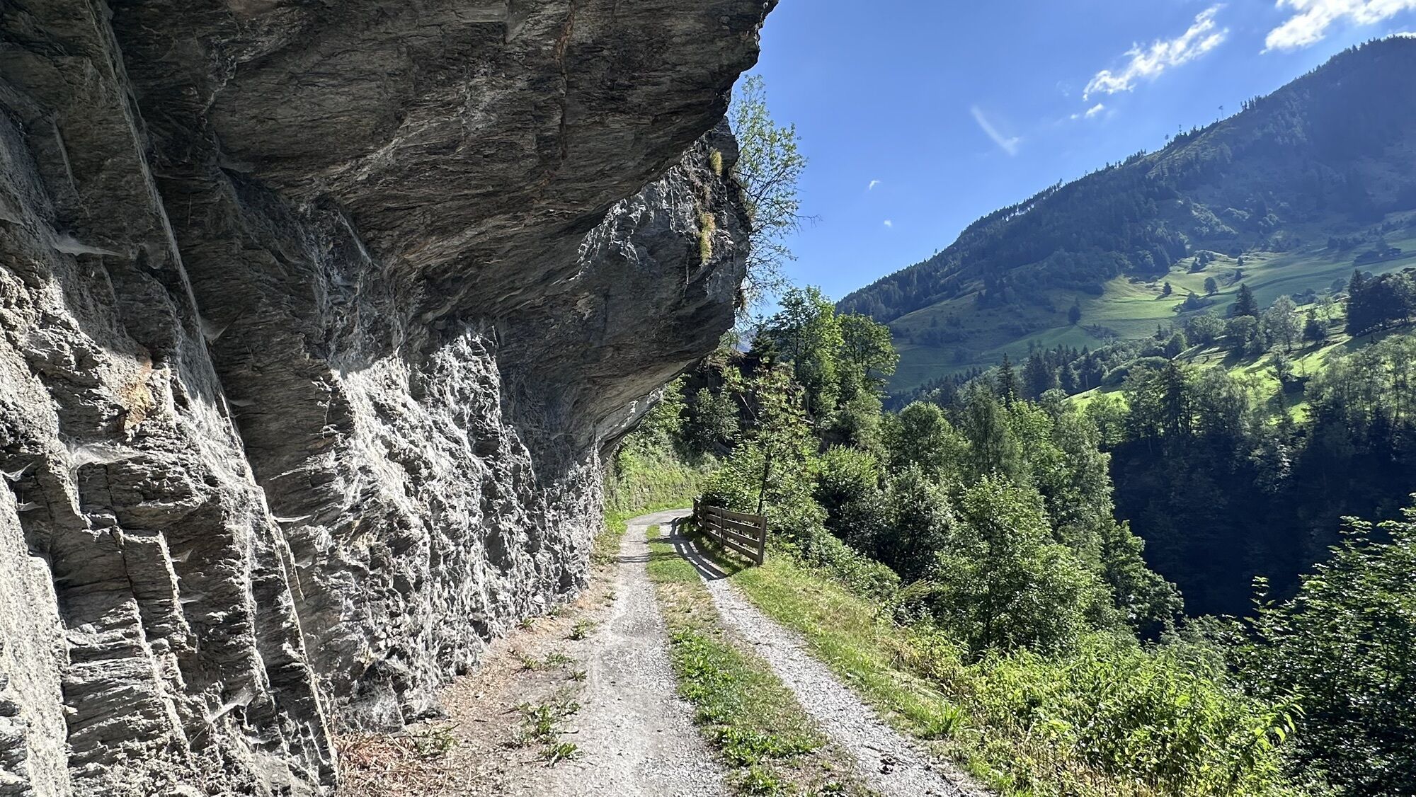
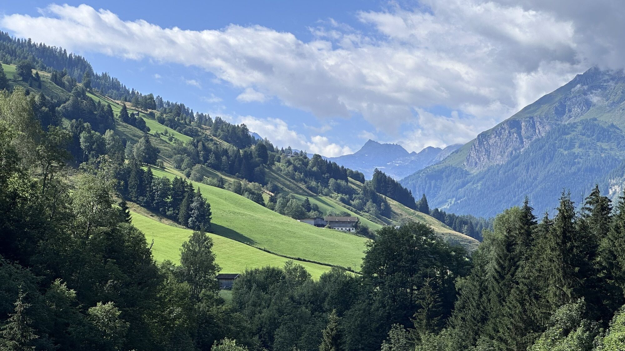
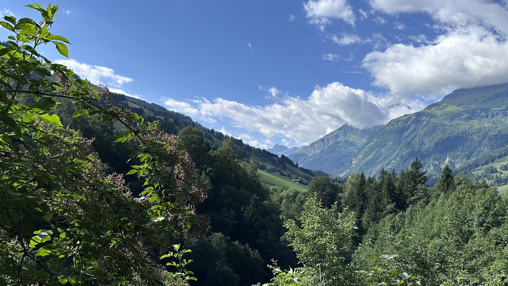
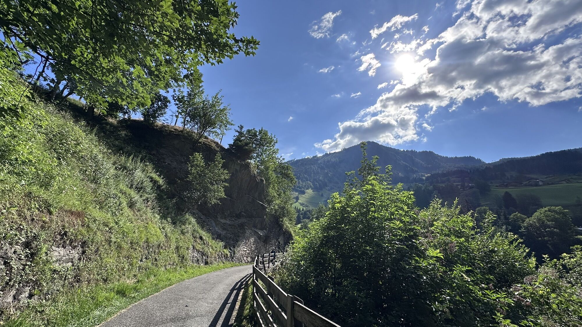
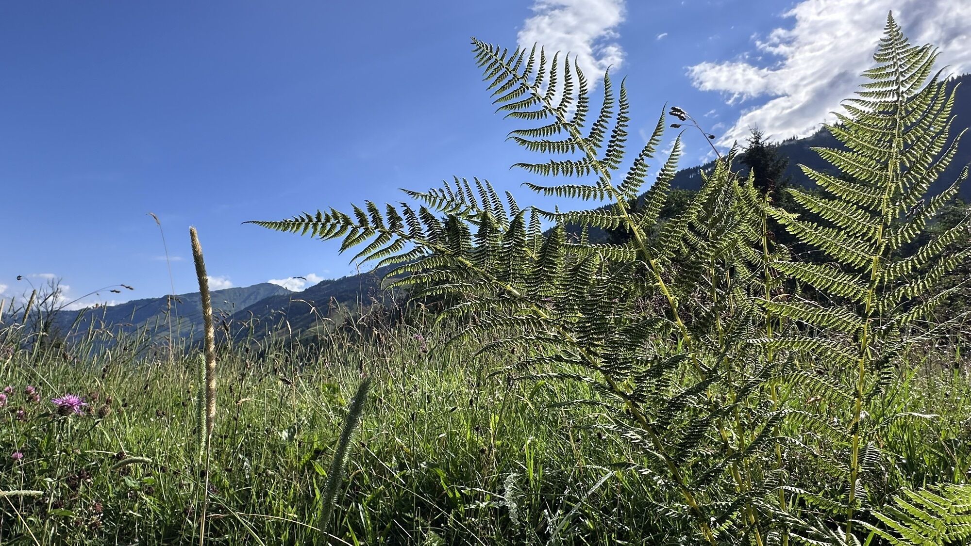
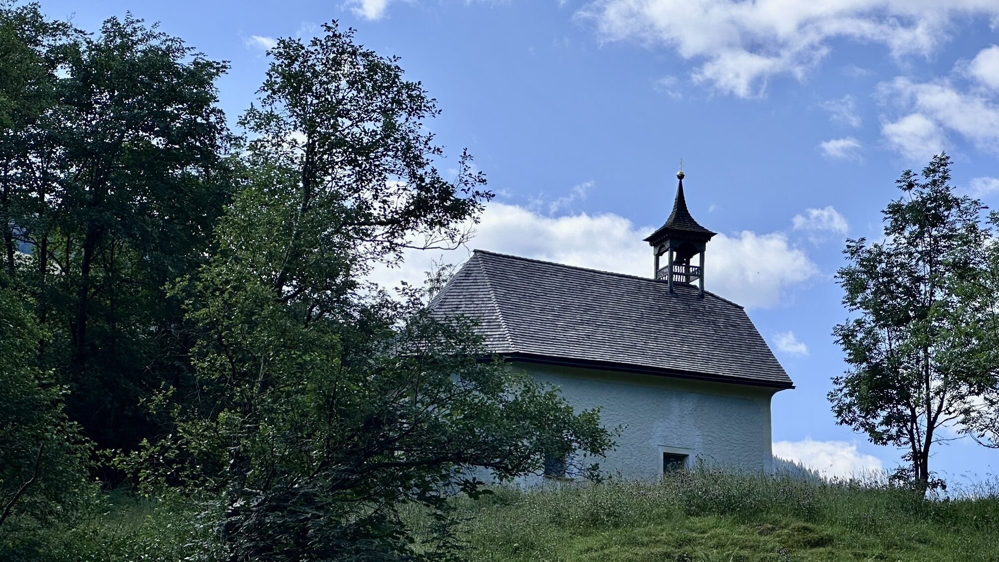
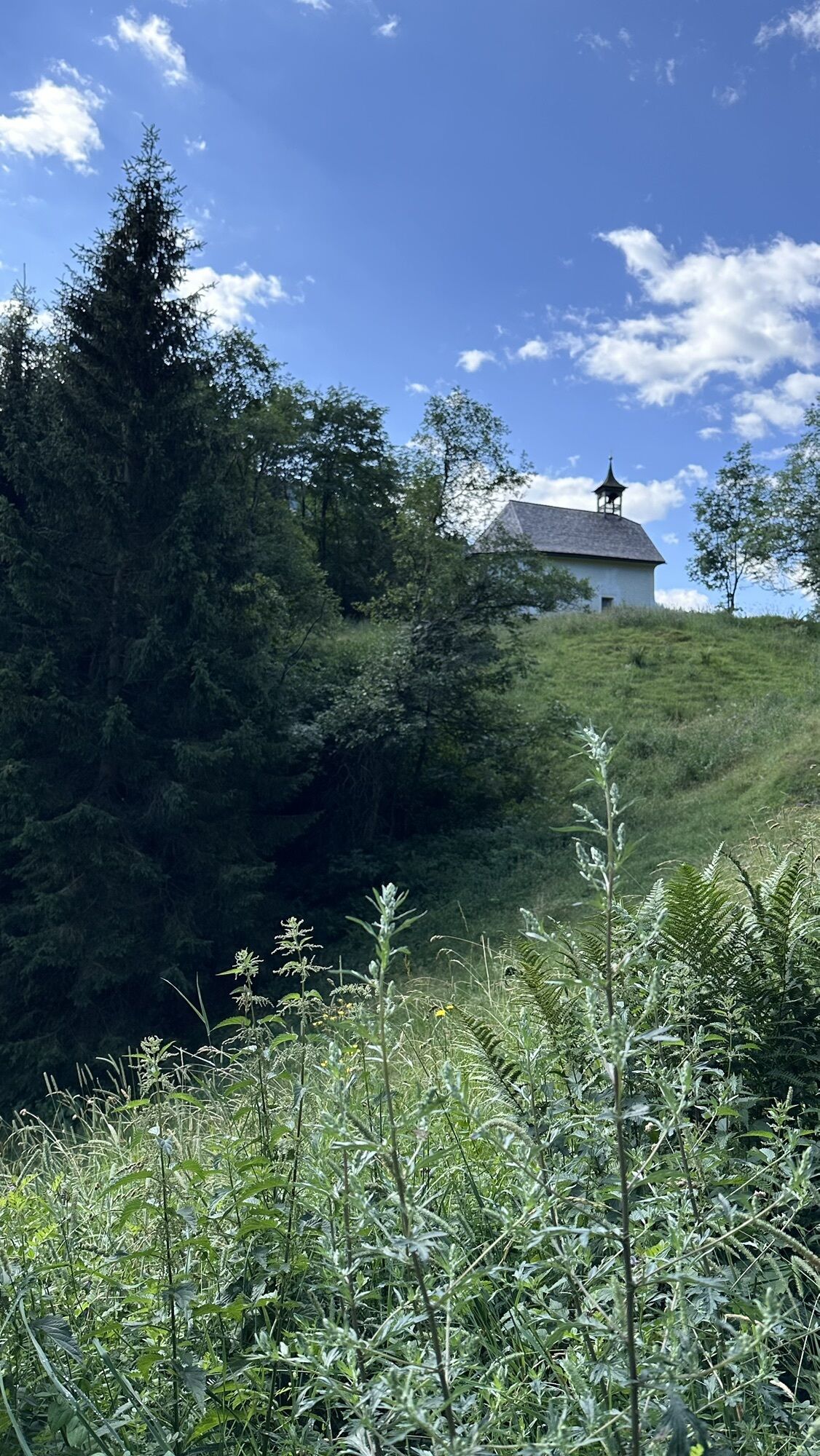
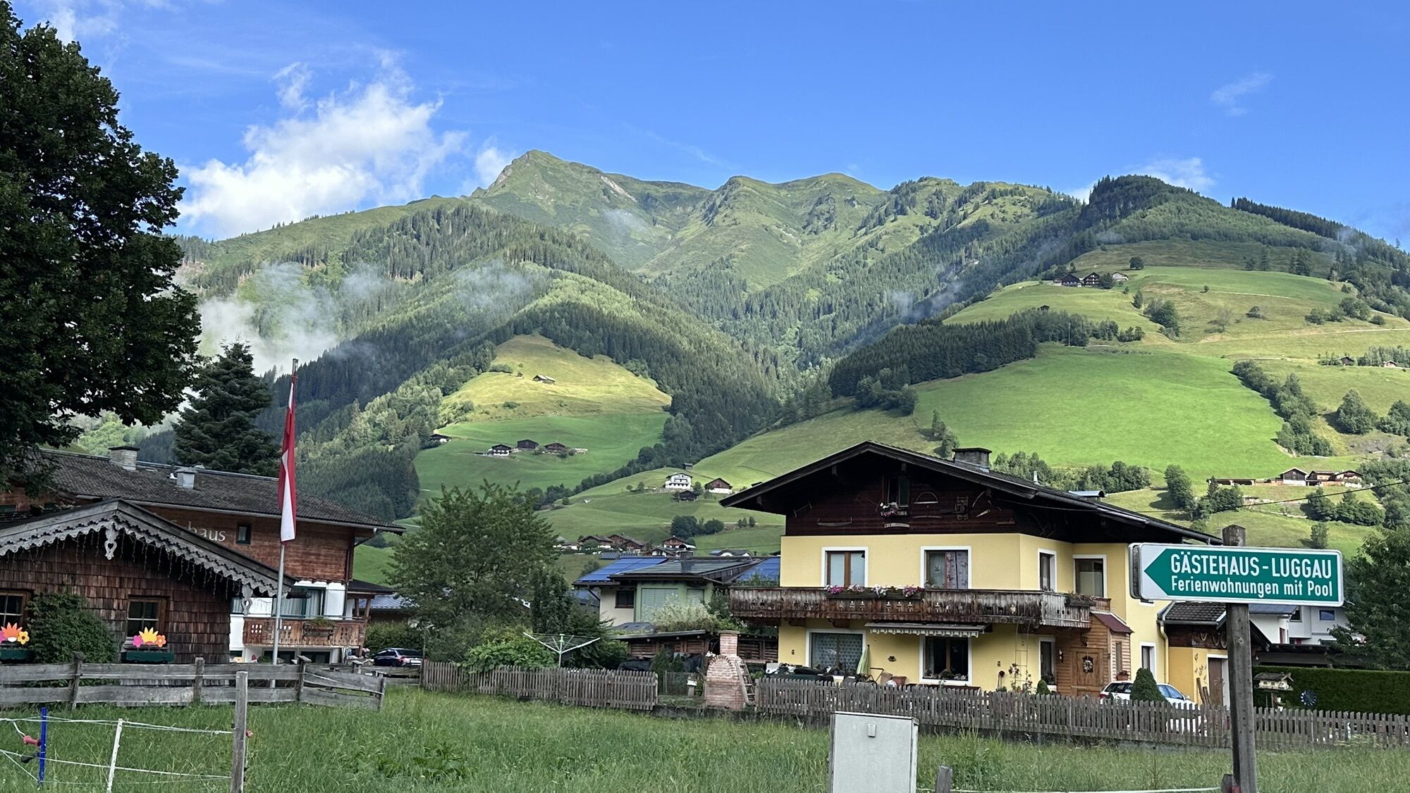
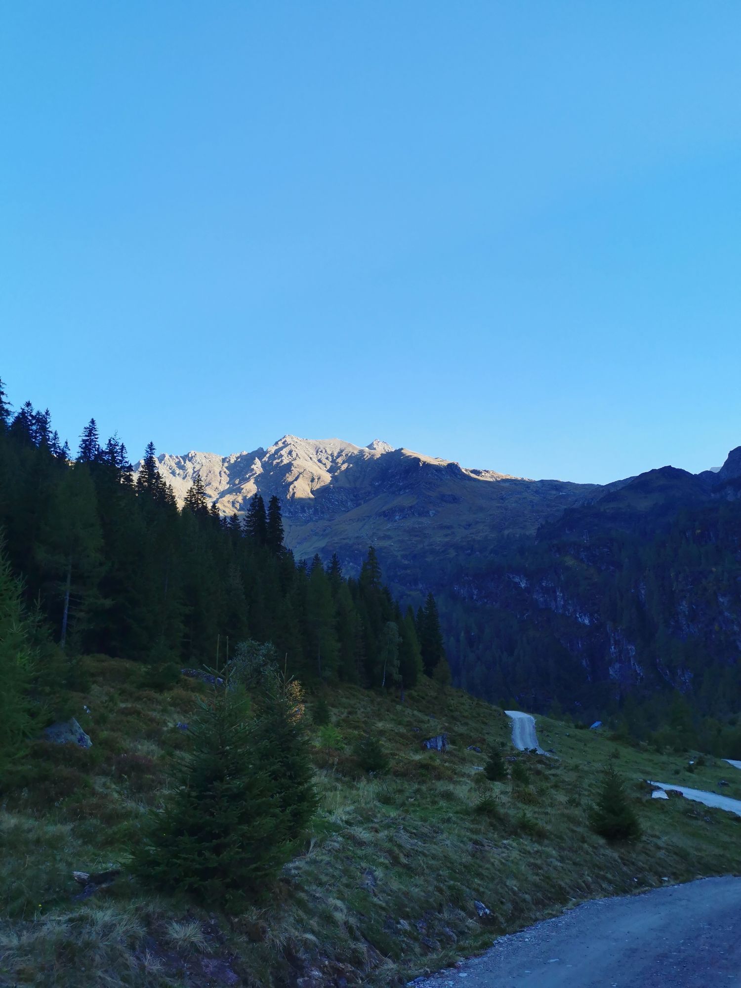
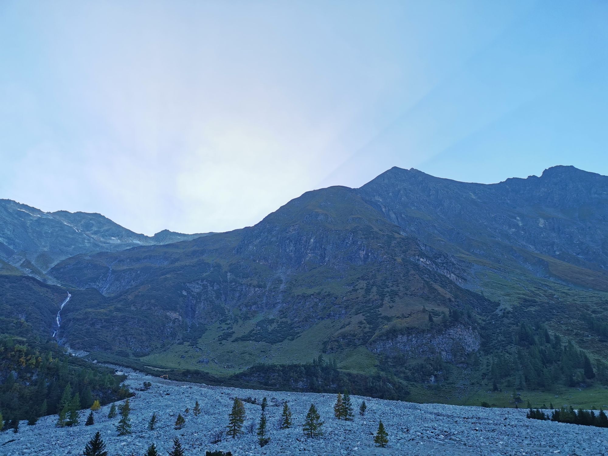
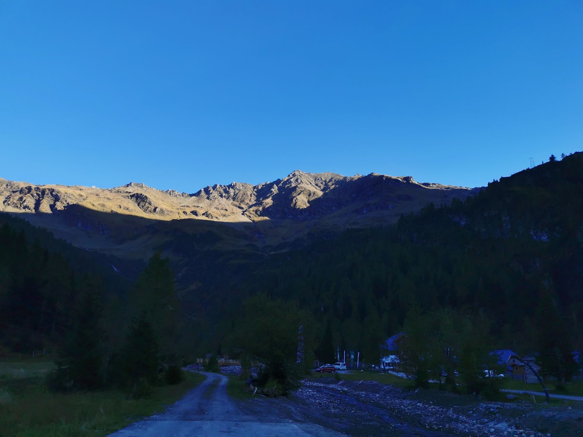
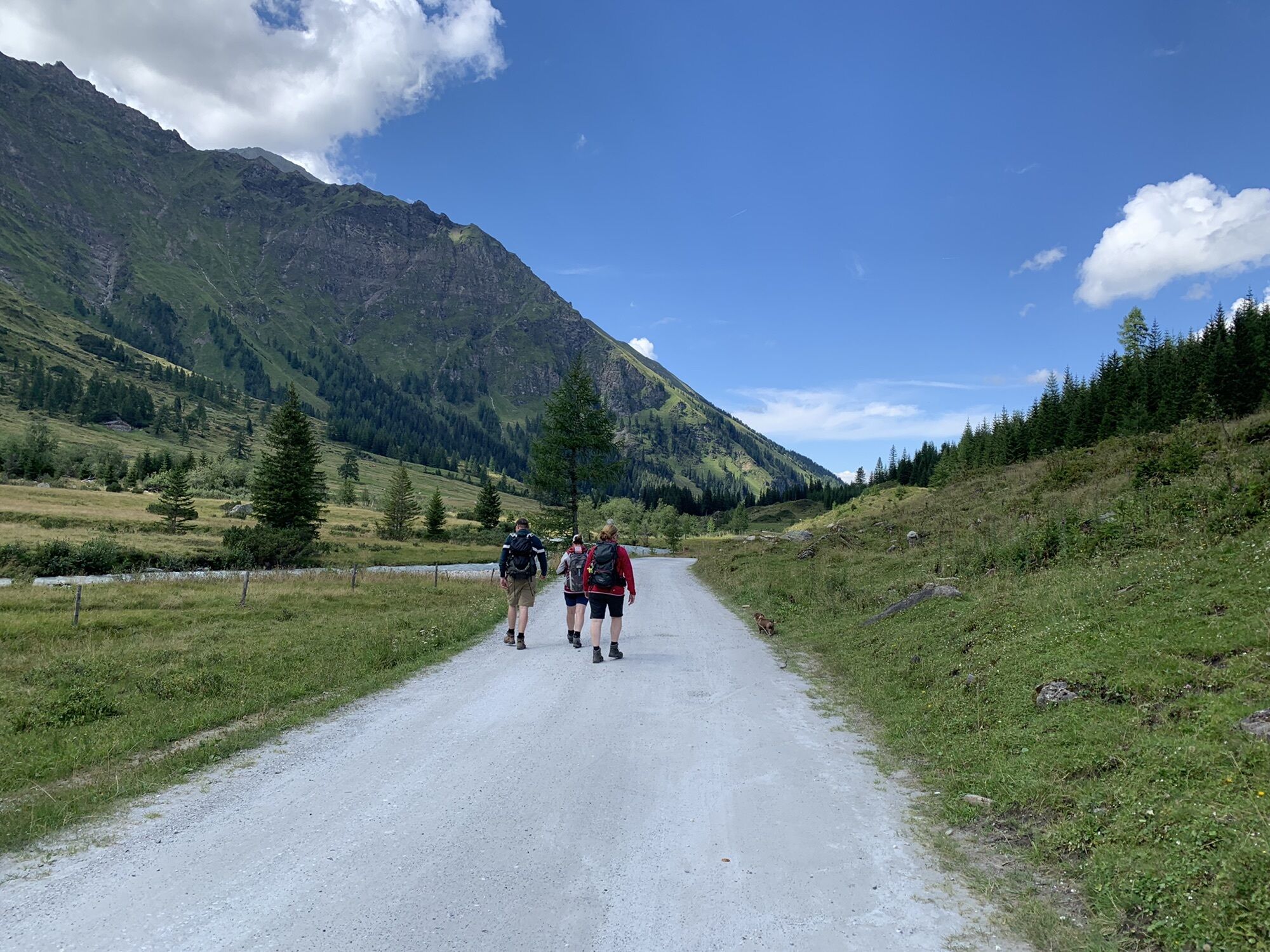
This beautiful mountain bike route is really recommended for everyone who likes to explore nature and the breathtaking landscape of the Raurisertal on two wheels. The view back to the 3,000-meter peaks while riding is unique and very impressive. The small inclines are easy to manage, and the rest of the route can be ridden comfortably on flat paths, giving you the opportunity to better enjoy the beautiful landscape around you.

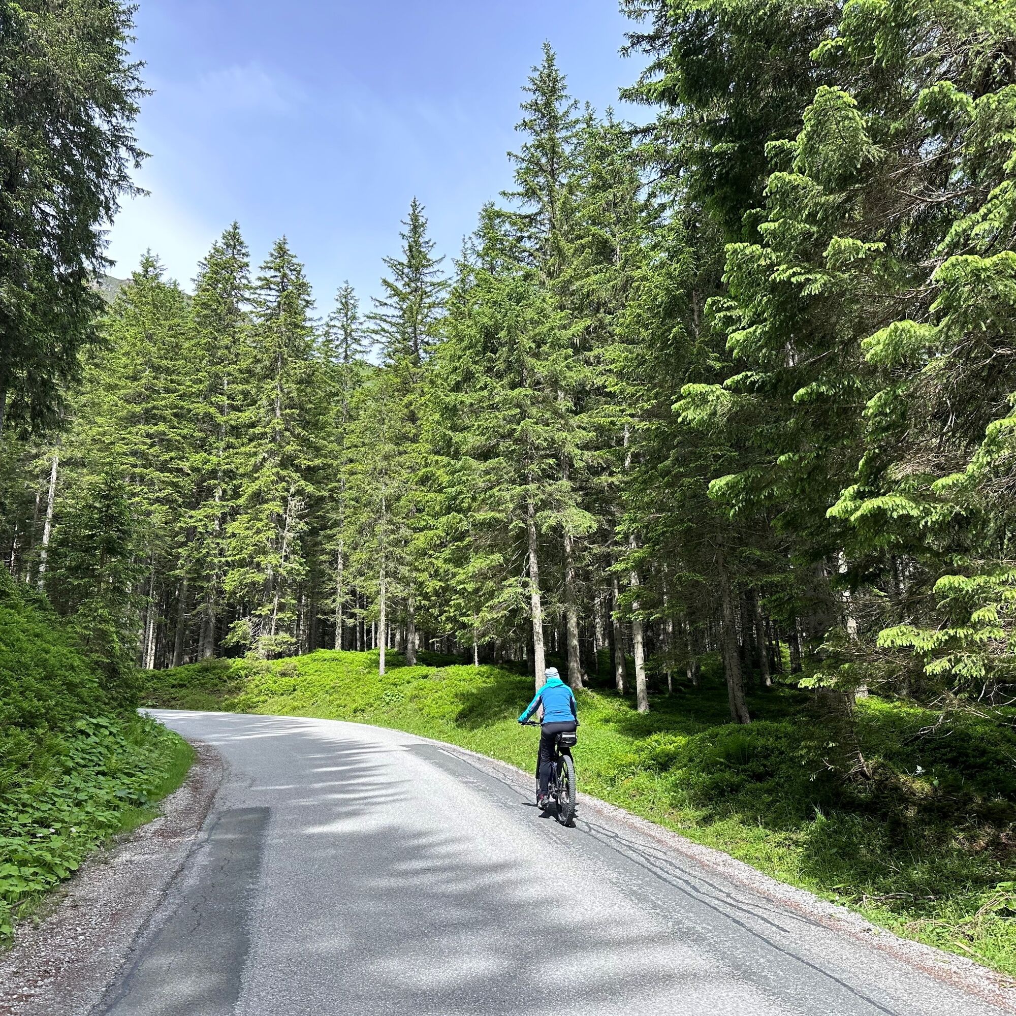

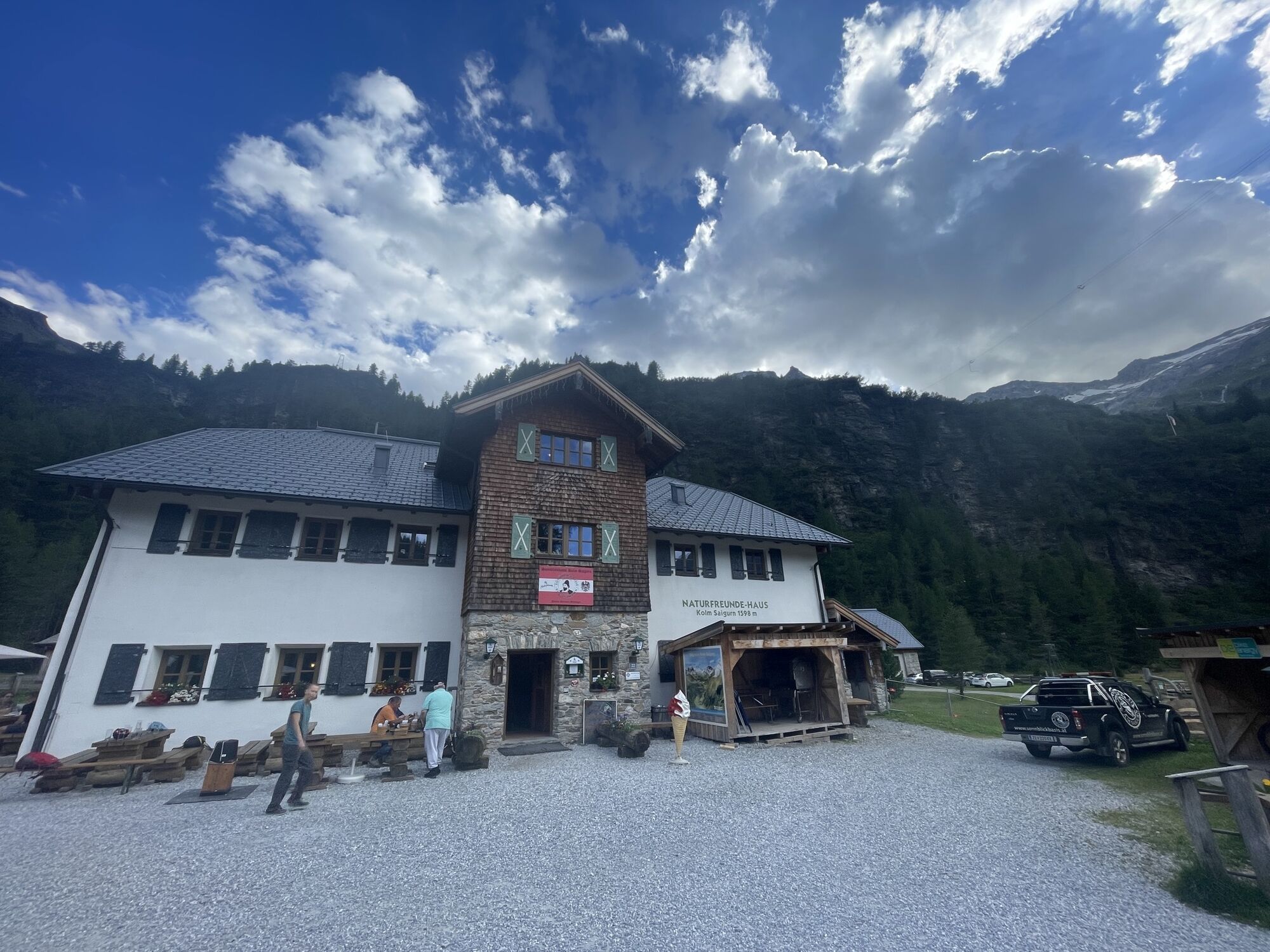
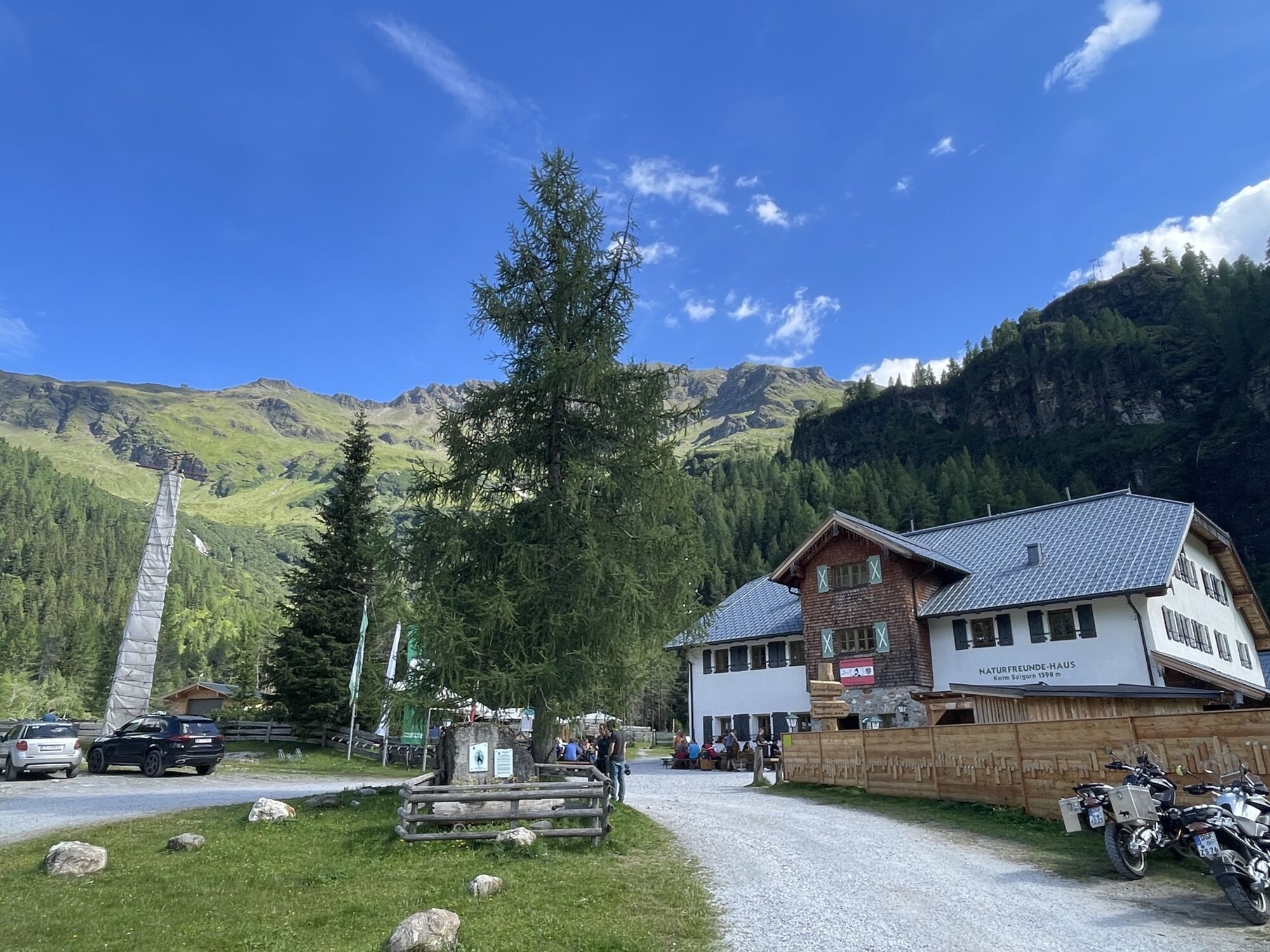
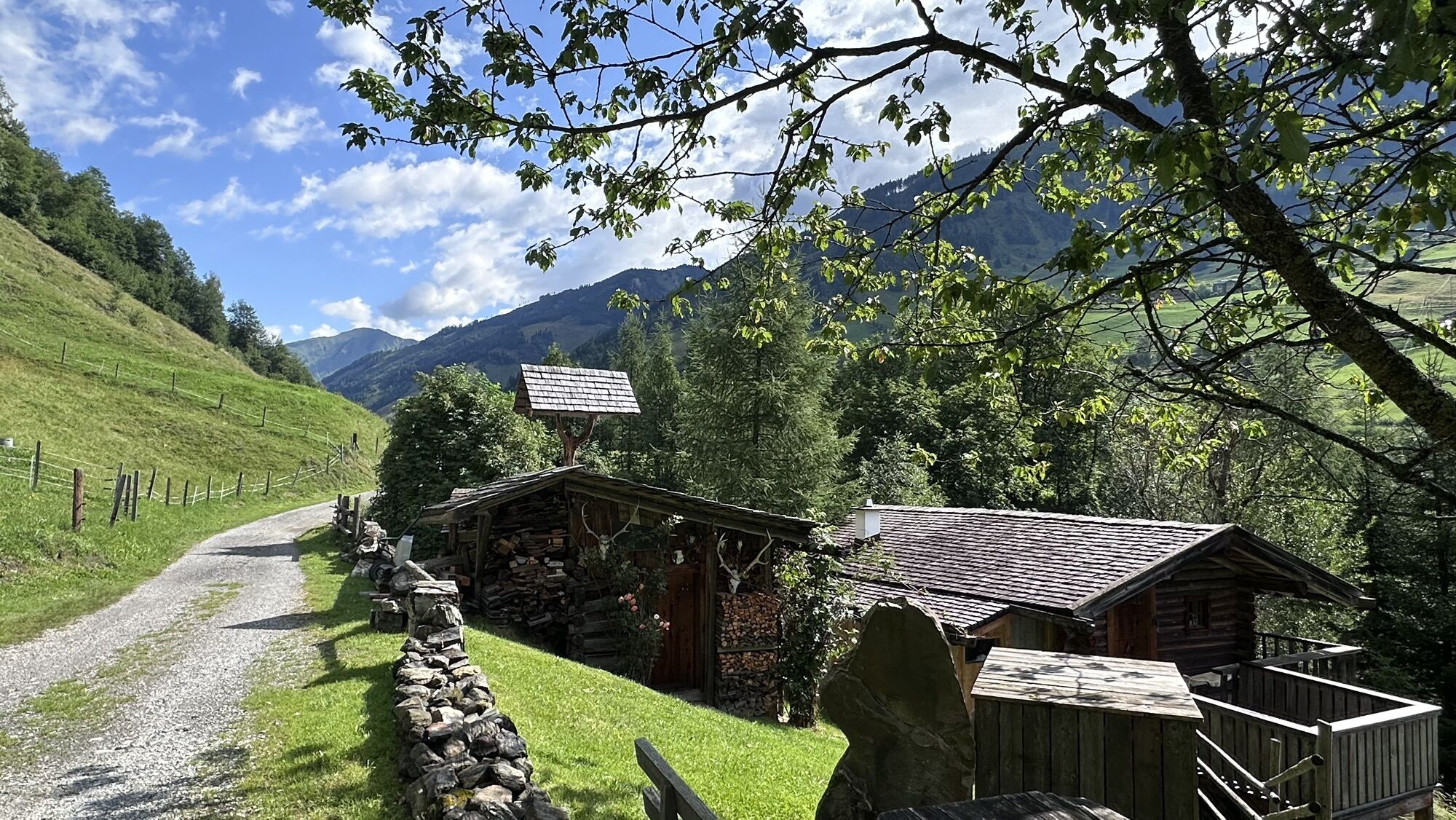
This variant of the Goldberg cycling route starts at the intersection Dientner Str. via Embach to Rauris and further to Wörth. Through Wörth, turn right into Pfandlerweg and stay on the approximately 15 km long old Buchebenstraße, passing the Almgasthaus Lechnerhäusl to the Alpengasthof Bodenhaus. From there, the Maustraße (approx. 6 km) begins to the valley end Kolm Saigurn, which leads to the Naturfreundehaus and the Ammererhof.
Áno
This mountain bike route variant of the Goldberg cycling route leads via Embach.
Stop by one of the cozy inns located directly on the Goldberg cycling route. Gasthof Andrelwirt, Almgasthaus Lechnerhäusl, Almgasthof Bodenhaus, Naturfreundehaus, and Ammererhof.
Webové kamery z prehliadky
-
Rauriser Hochalm
-
Rauris - Hotel Alpina
-
Sonnblick
-
Kolm-Saigurn / Materialseilbahn
-
Kleinfleißkees
-
Schareck / Mölltaler Gletscher
-
Rauris Tal
-
Golfplatz Goldegg
-
Golfplatz Goldegg
-
Waldalmbahn
-
Waldalmbahn
-
Waldalmbahn
-
Waldalmbahn
-
Waldalmbahn
-
Goldbergkees
-
Goldbergkees2
-
Gamskopf/Rauris
-
Gletscher - Eissee
-
Gletscher - Panorama
-
Bergstation Altecklift
-
Embach
-
Pension Theresa Rauris
-
Bodenhaus / Rauris
-
Rauris
-
Bodenhaus / Rauris
-
Bodenhaus / Rauris
-
Bodenhaus / Rauris
-
Bodenhaus / Rauris
-
Bodenhaus / Rauris
-
Bodenhaus / Rauris
Získajte prehľad
Vždy naživo na mieste s viac ako 9 500 webovými kamerami. bergfex Ako používateľ Pro si teraz môžete pozrieť príslušné webové kamery pre mnohé zájazdy v aplikácii zájazdy z. Môžete si tak priamo prezerať aktuálne podmienky.
Obľúbené výlety v okolí
-
4,7
Geotrail Tauernfenster
svetloTuristika 5,90 km -
4,6
Gasteiner Höhenweg von Bad Gastein nach Bad Hofgastein
svetloTuristika 8,58 km -
5,0
Silberpfennig, Salzburger Land/Österreich
strednáTuristika 13,8 km -
4,8
Hohe Sonnblick Up
ťažkéTuristika 9,14 km -
4,7
Hüttenkogel - Graukogel von der Bergstation
strednáHorská turistika 4,68 km -
4,6
Bahnhof Bad Hofgastein nach Bahnhof Bad Gastein
strednáTuristika 13,0 km -
4,5
Niedersachsenhaus
strednáTuristika 4,84 km -
4,5
Bad Gastein-Böckstein-Sportgastein(Schlechtwettervariante)
Turistika 17,2 km -
4,2
Wasserfall Bad Hofgastein
svetloTuristika 3,89 km -
4,5
Böckfeldalm-Stubnerkogel Mittelstation
strednáTuristika 10,9 km
Turistika a stopovanie


Nenechajte si ujsť ponuky a inšpiráciu na ďalšiu dovolenku
Vaša e-mailová adresa bol pridaný do poštového zoznamu.





