






Mittersill: Resterhöhe Gravel
Úroveň náročnosti: 6
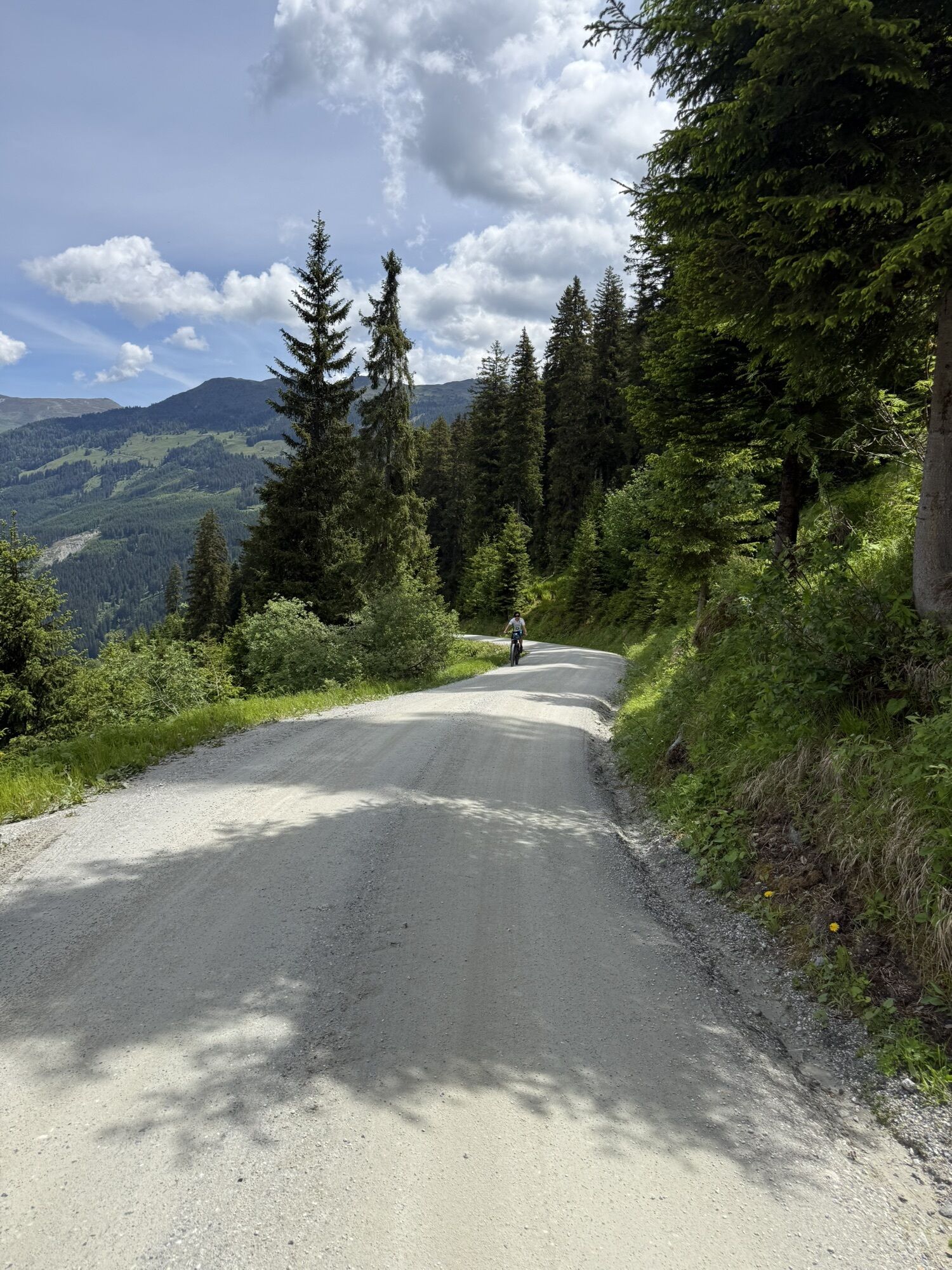
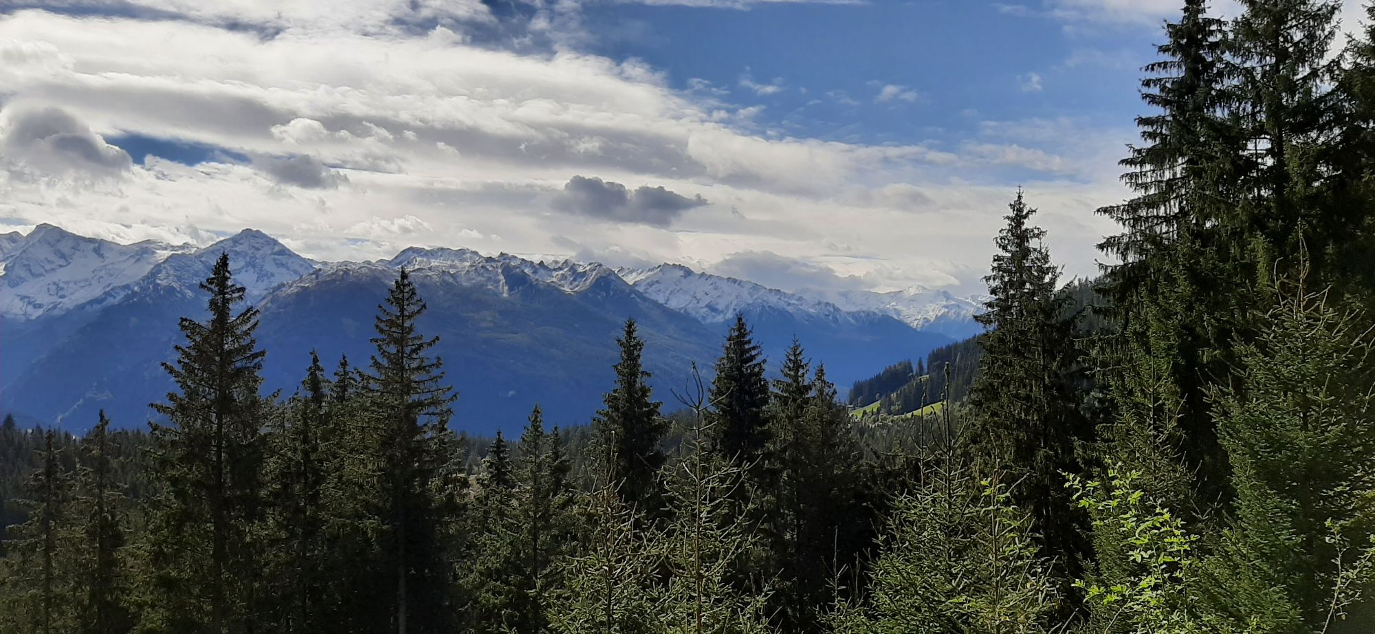
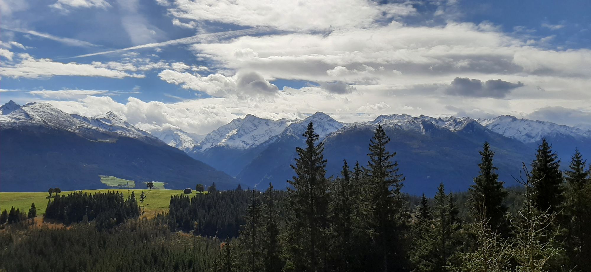
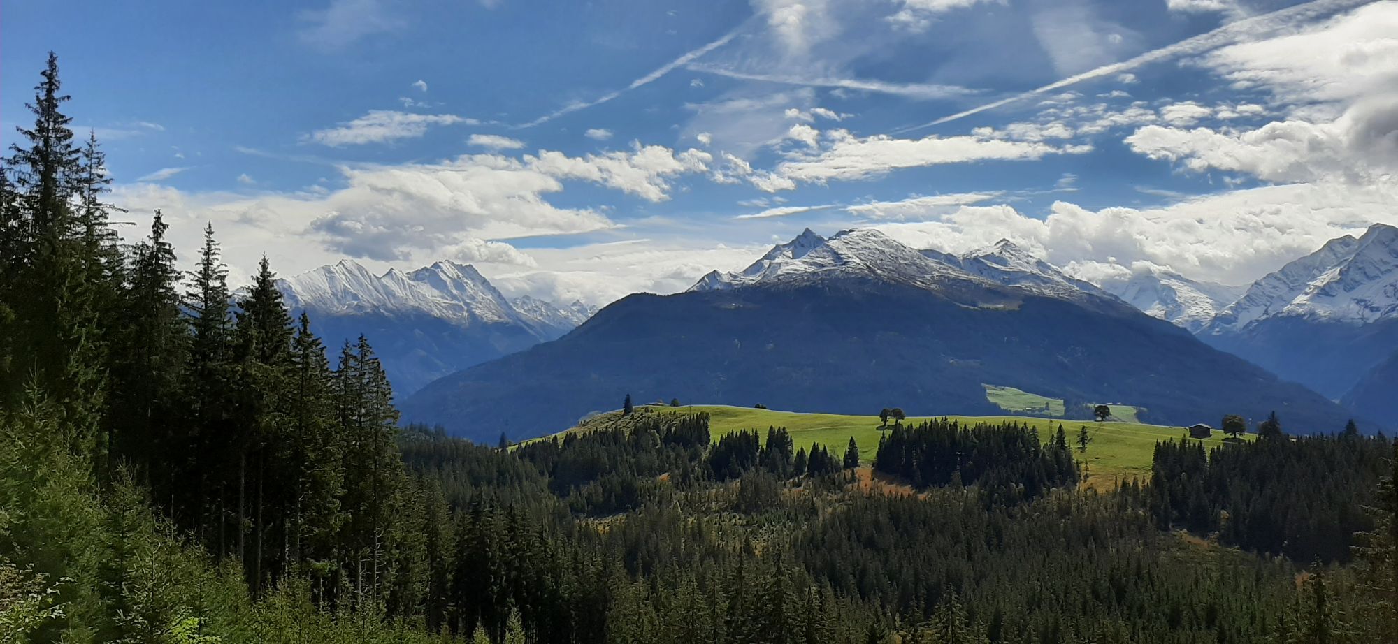
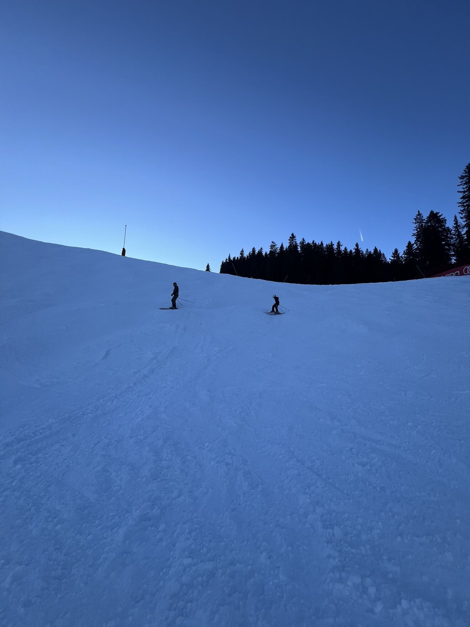
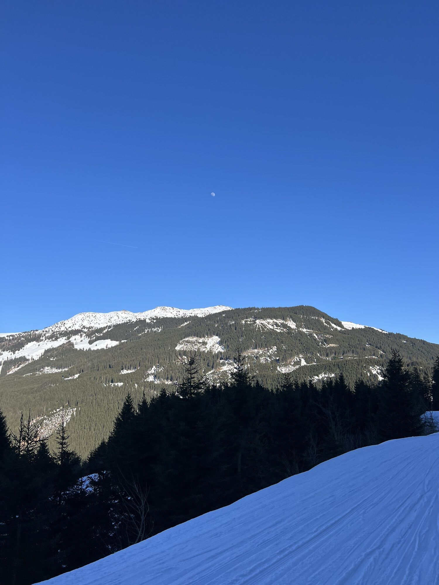

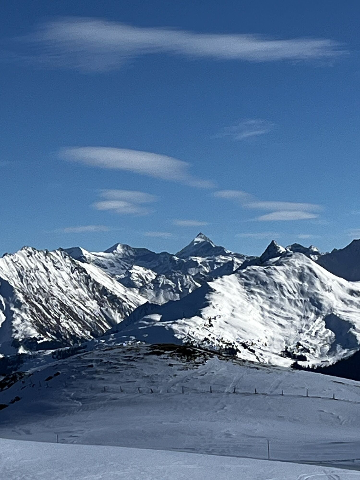
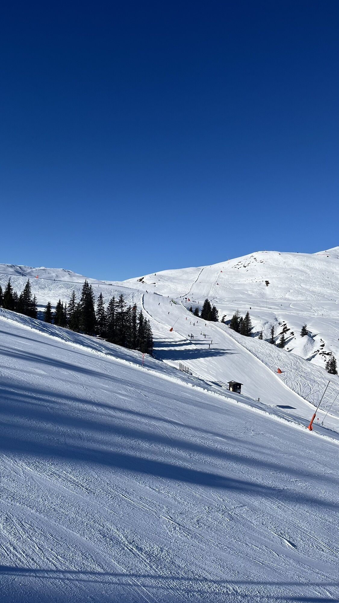
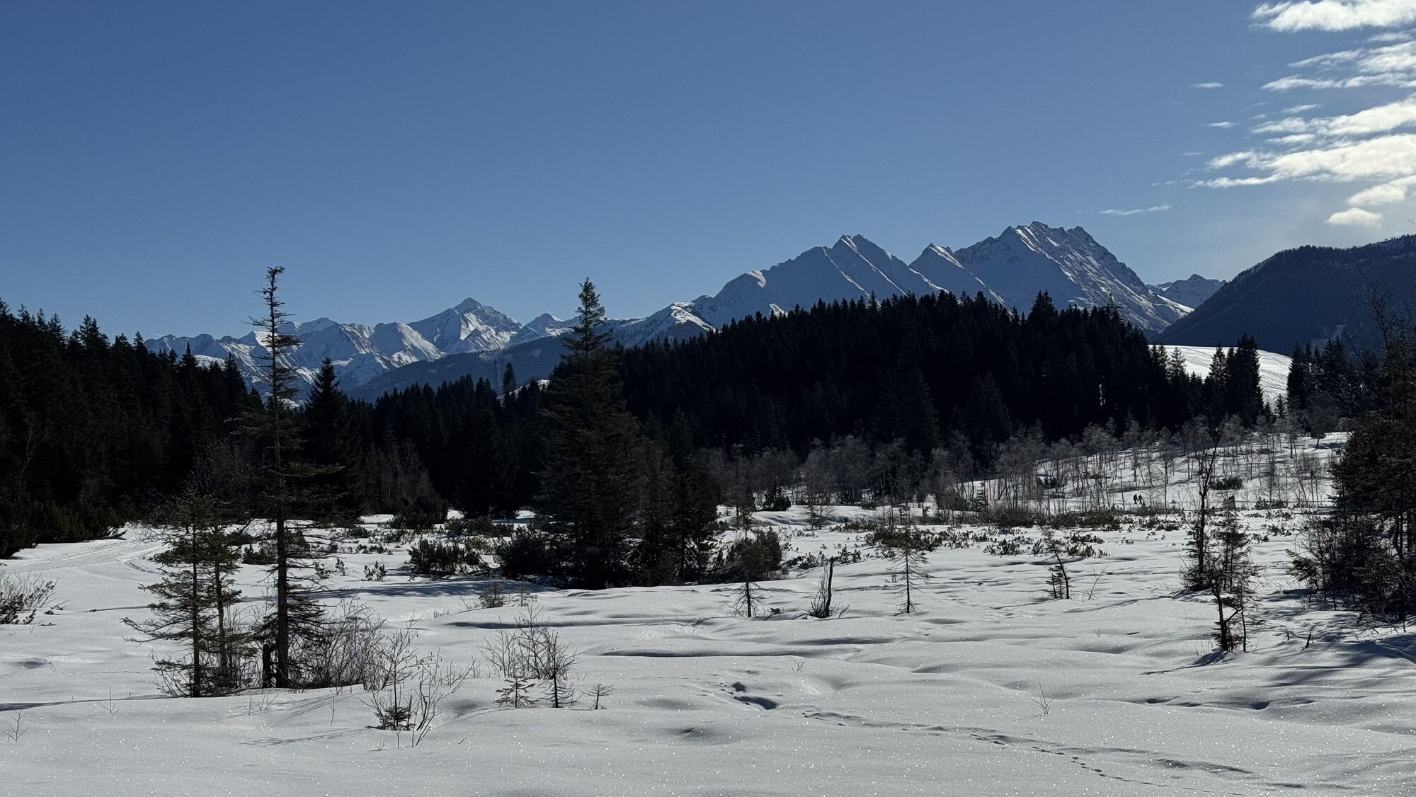
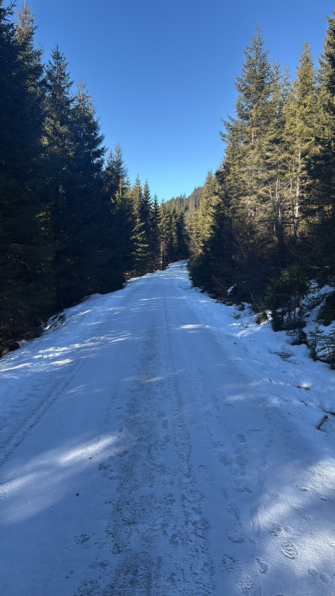
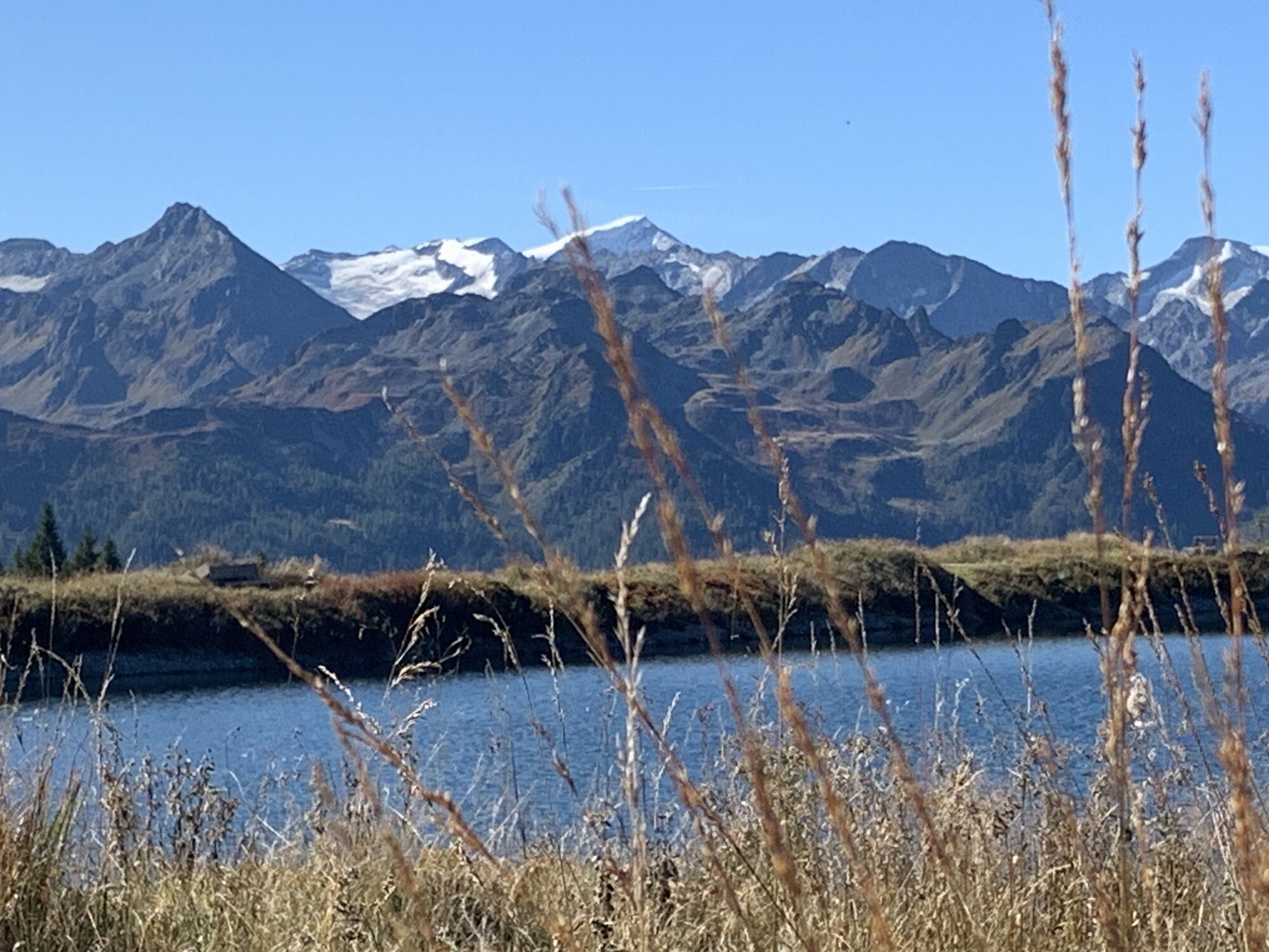

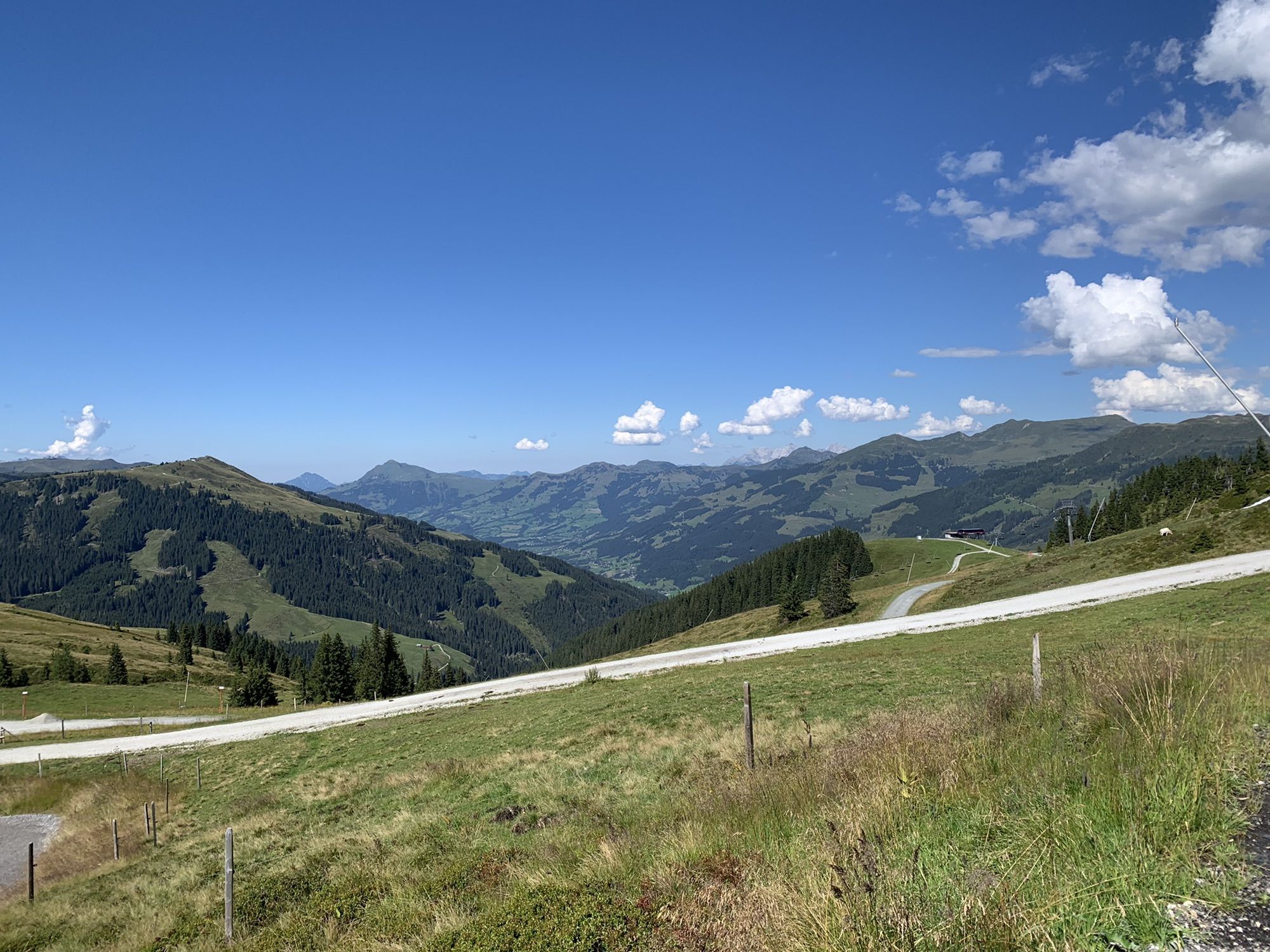
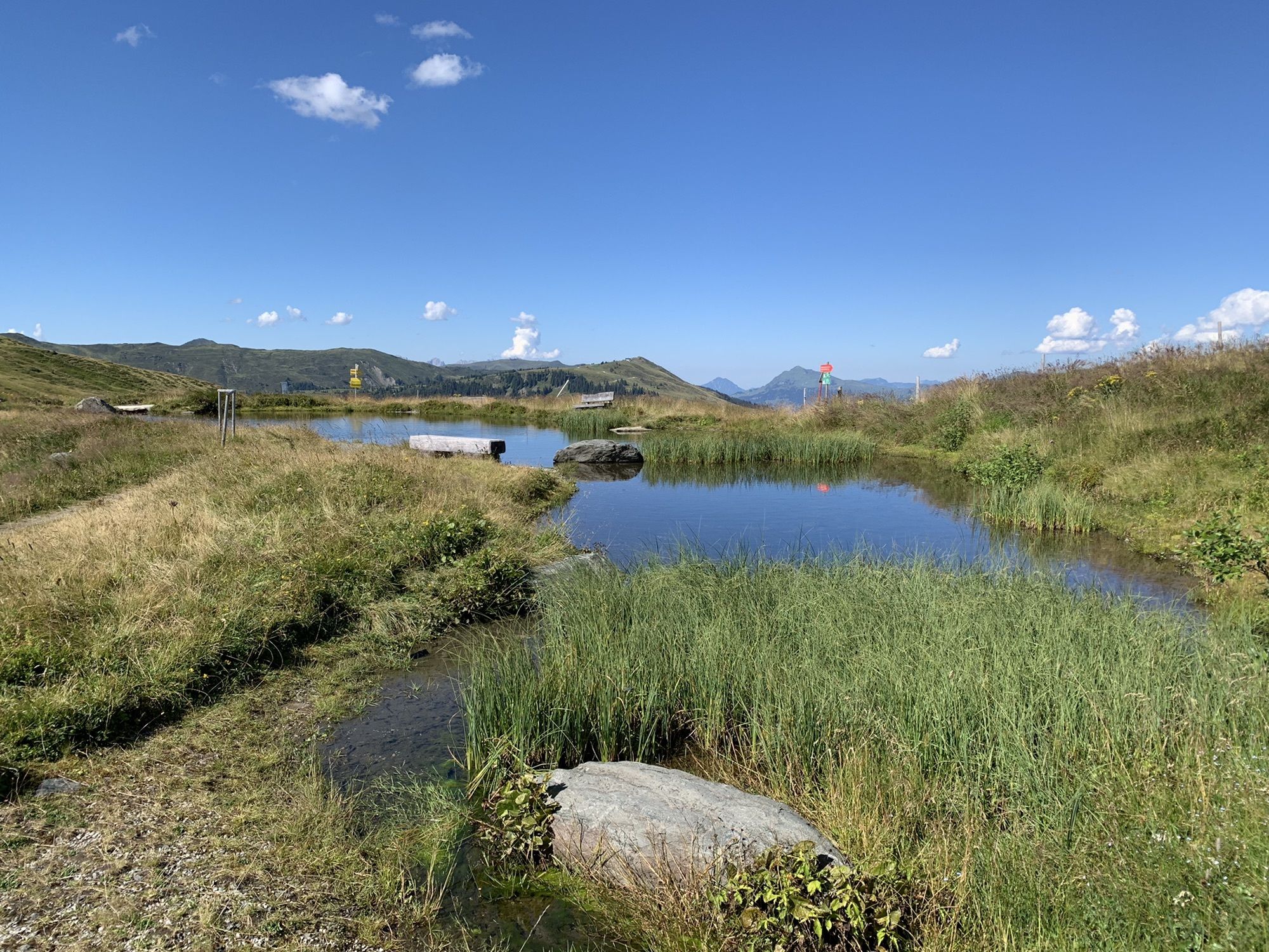
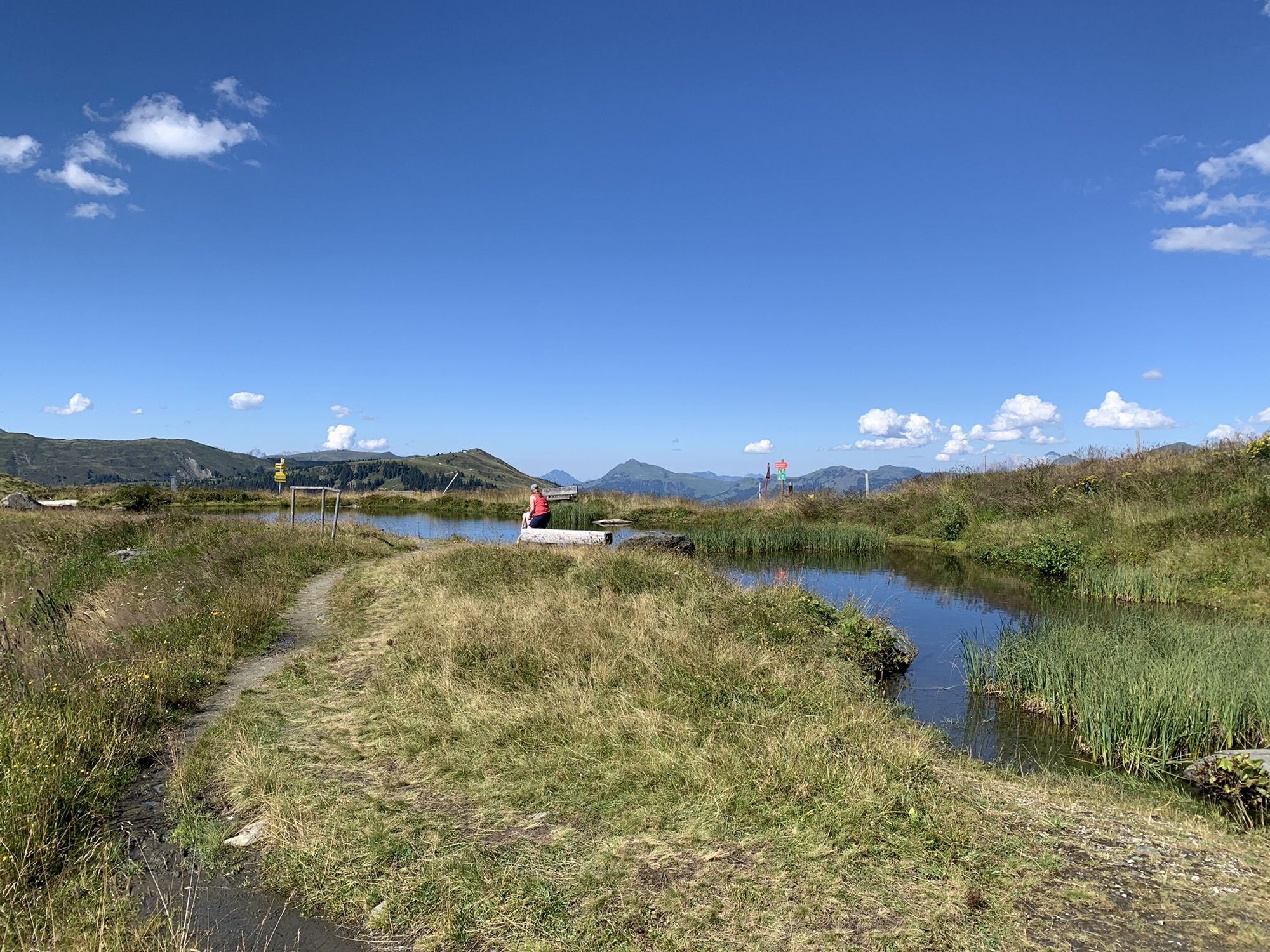
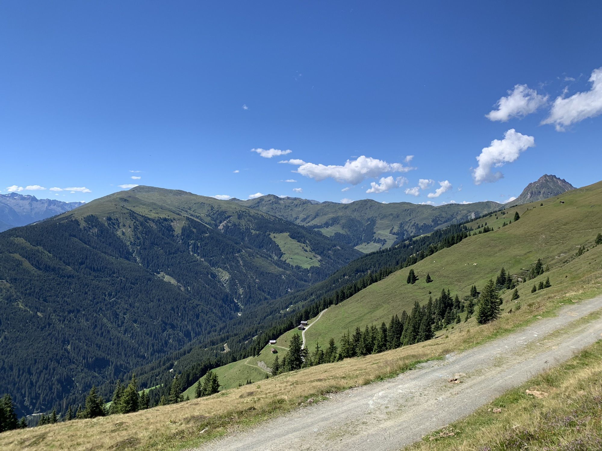
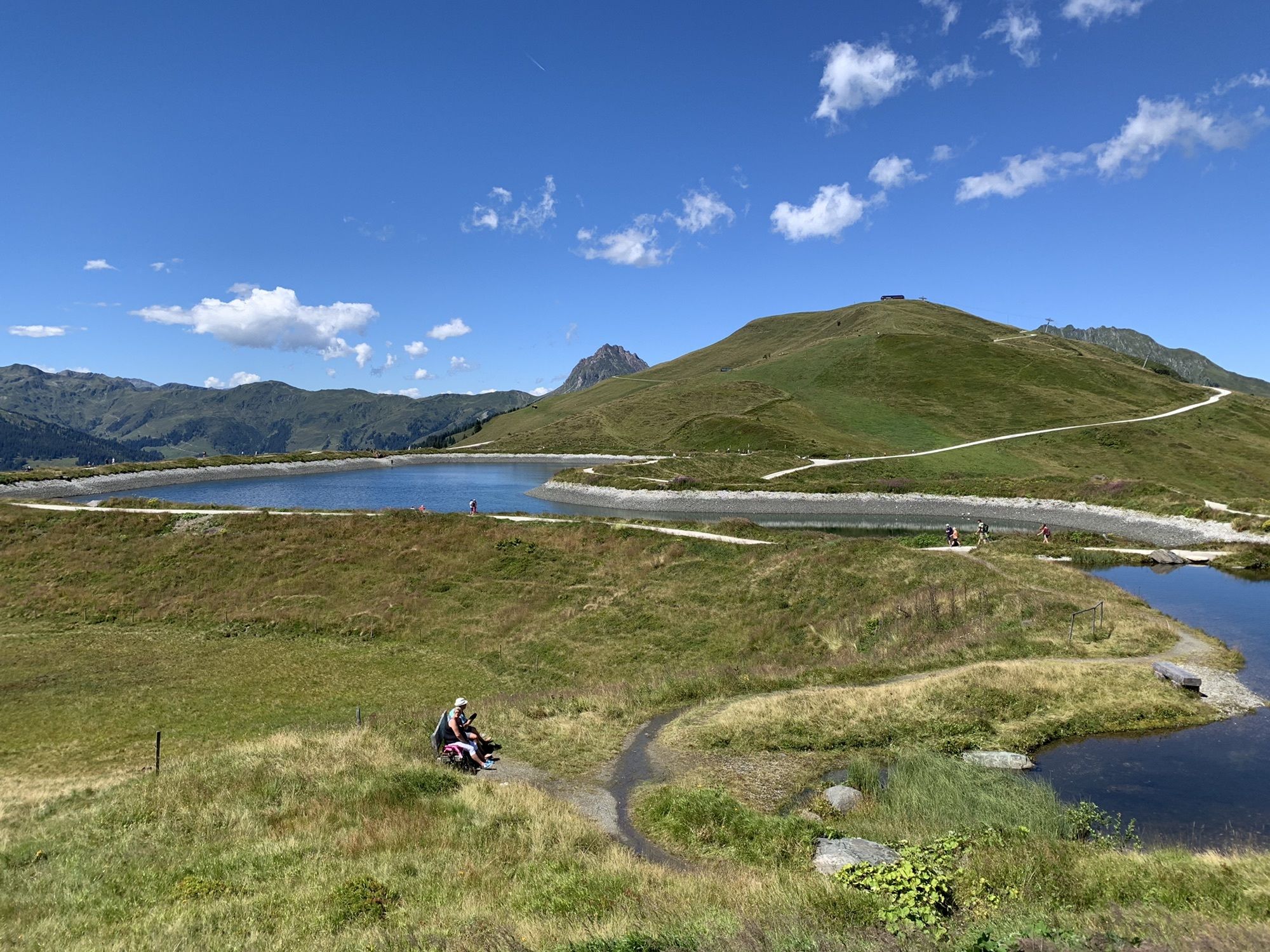
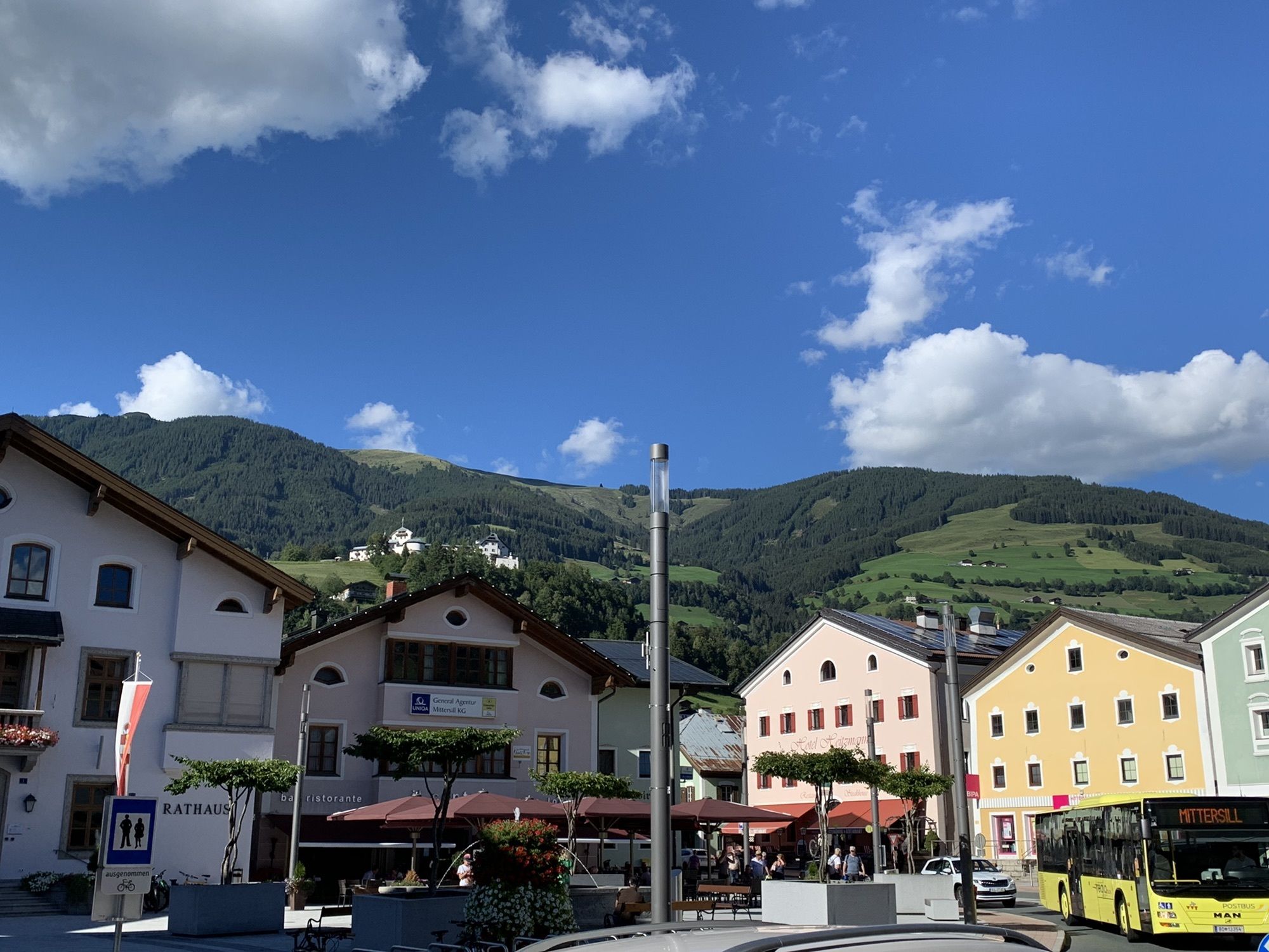
This route offers a bit of everything: lots of fun, gravel sections winding through forests and meadows and past farms, alpine pastures, and waterfalls. The route is more for ambitious cyclists, but the...
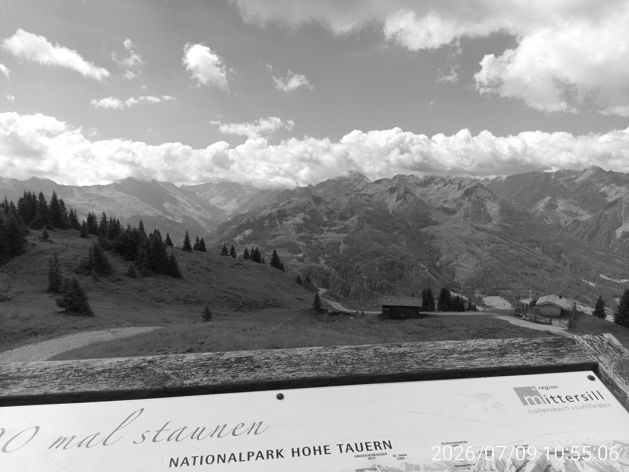
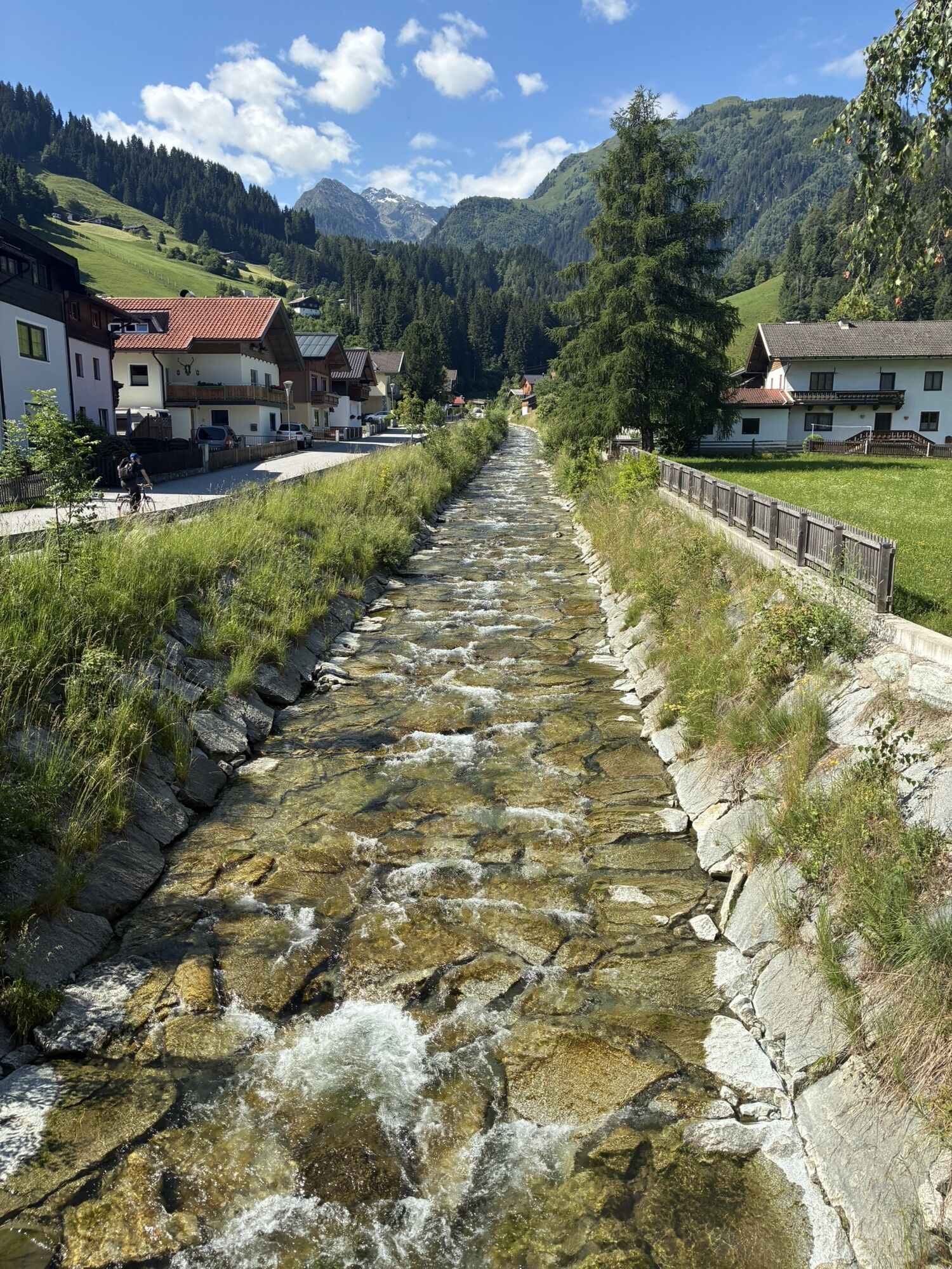
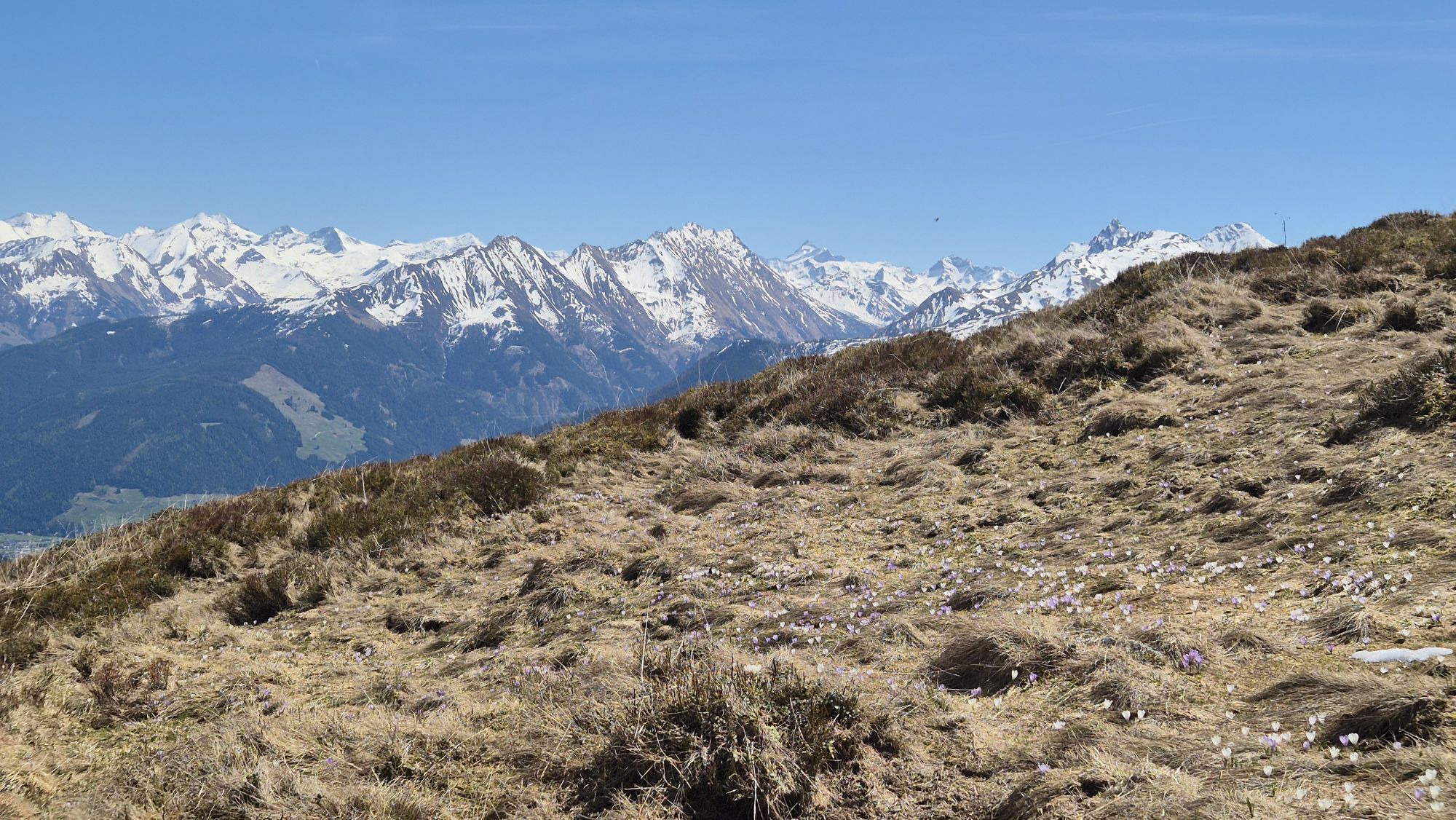
This route offers a bit of everything: lots of fun, gravel sections winding through forests and meadows and past farms, alpine pastures, and waterfalls. The route is more for ambitious cyclists, but the effort is definitely worth it. Hardly any place offers such an incredible panoramic view as the Resterhöhe, as it is practically in the center of the surrounding mountain world. The day is perfectly rounded off by stopping at the Gasthaus Resterhöhe (https://resterhoehe.at/) or at Pinzgablick (https://www.pinzgablick.at/), and after the descent into the picturesque Mühlbachtal, you can enjoy a coffee with homemade strudel at the Baumgartenalm (https://www.baumgartenalm.at/).

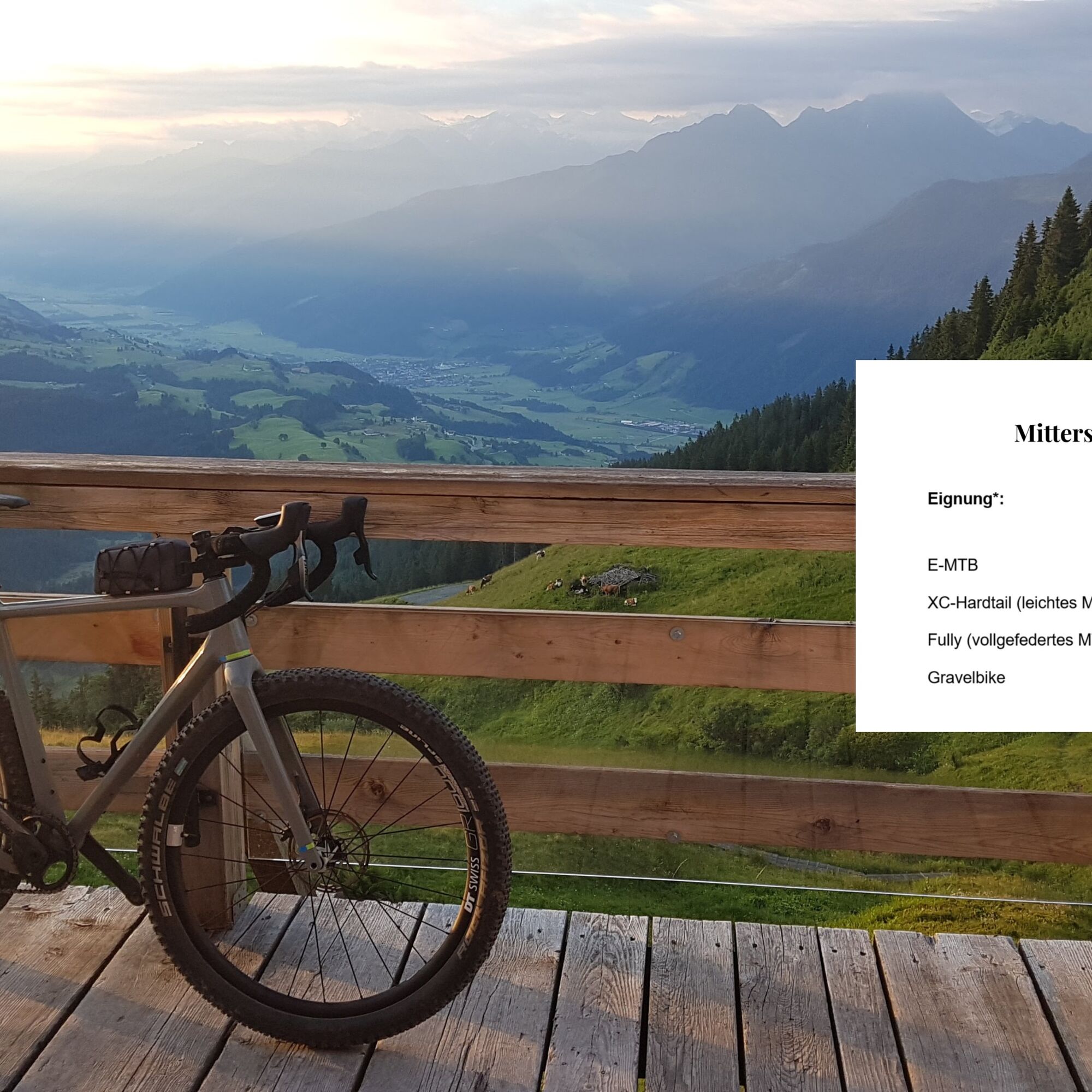
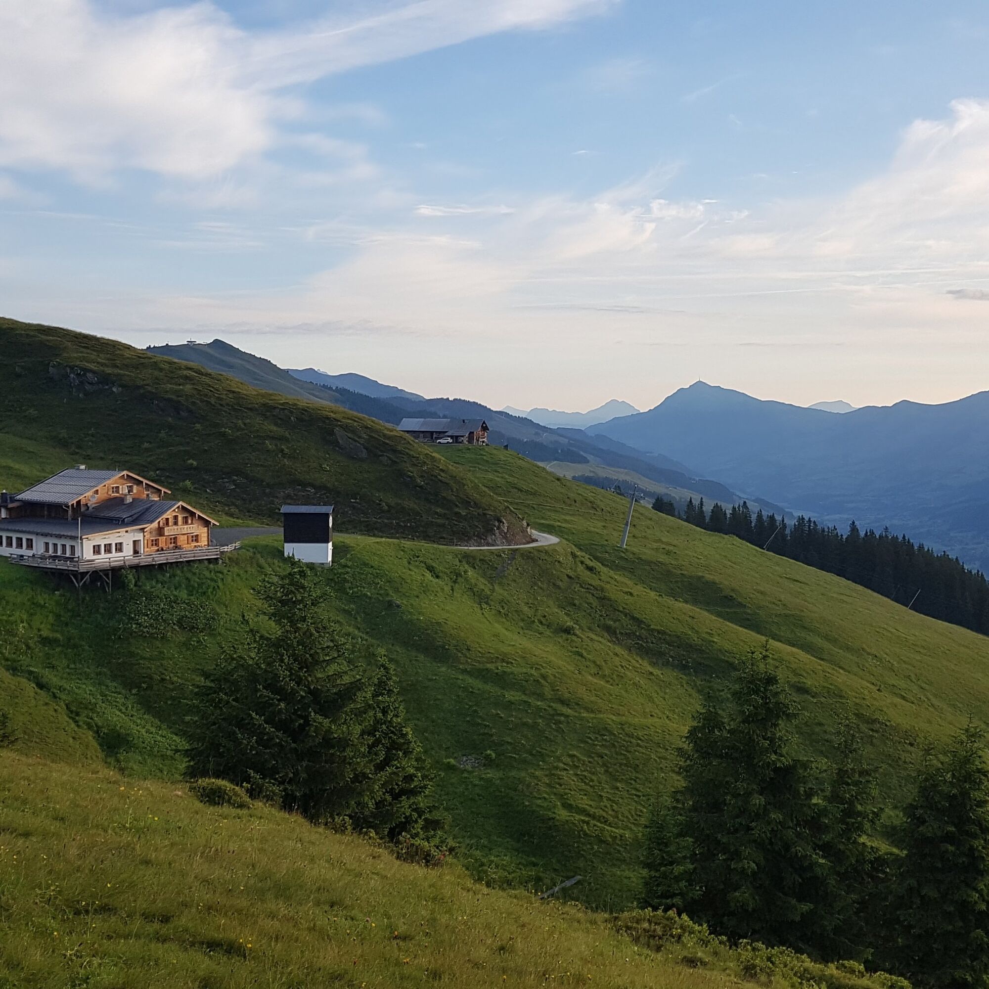

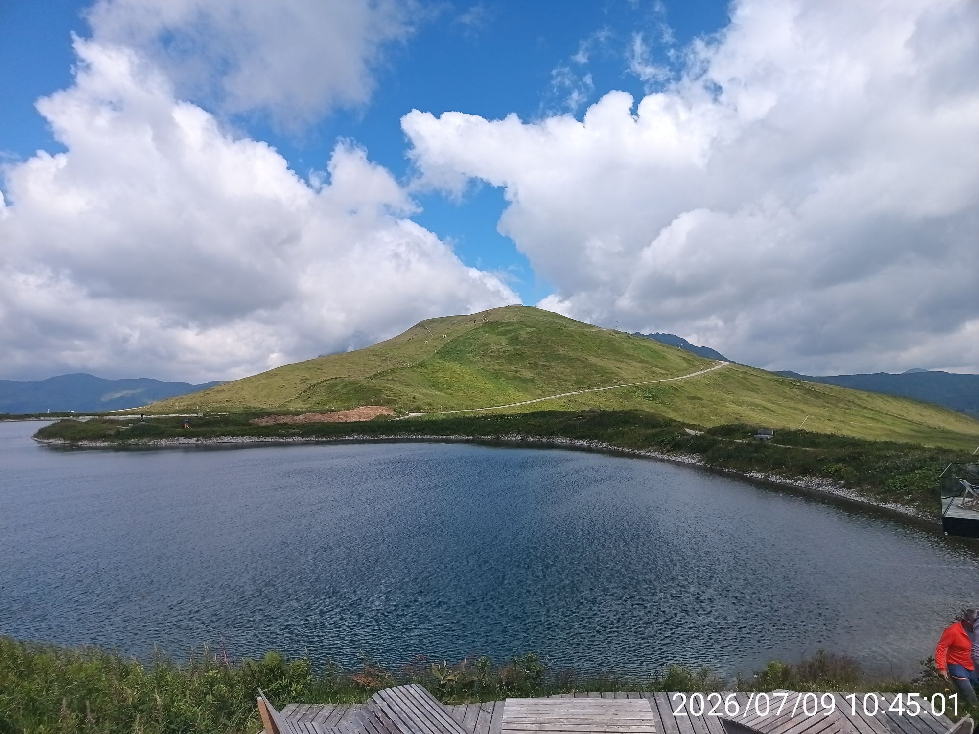
The start is in Mittersill, from where it goes via Burk and Mittersill Castle first to Thalbach and then continues steadily uphill via Weißenstein and Loferstein before turning left and going downhill for a bit towards Klicken. From there, the path leads uphill again to Bärenfilz and then downhill again to Pass Thurn. At the pass summit, follow a short section along the main road before turning left to the next ascent. The path continuously goes uphill over the Moseralm to the reservoir lake. For a detour to the Resterhöhe, turn left or follow the reservoir lake downhill. Through the Plattwald forest it continues to Bramberg. You switch to the shaded side and ride along the valley via Mühlbach to Hollersbach and from there along the Tauern cycle path back to Mittersill.
Áno
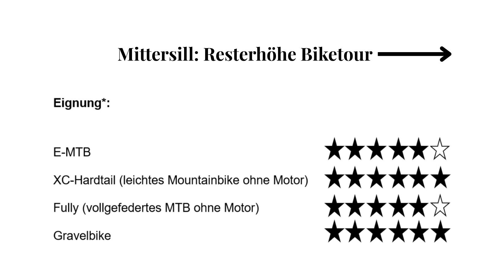
CX/gravel bikes are best suited, although light hardtail mountain bikes are slower on the flatter sections, they also work well. Also bring provisions, a helmet, gloves and rain gear.
Experience on gravel is important. However, if you are primarily used to road biking, a preparation course is recommended (www.bikeaustria.com). Stable braking technique is important when riding fast on gravel with CX tires.
The route starts in the town center of Mittersill.
The region Mittersill-Hollersbach-Stuhlfelden is well accessible by public transport.
There are plenty of parking spaces available in Mittersill.
6
If you prefer to go on gravel with professional guides, you can find all information at bikeaustria.com.
Mittersill Plus GmbH, Zeller Straße 2, 5730 Mittersill, Tel. +43(0) 6562 4292
On the way to the Resterhöhe, you can also easily add a detour to the Hörgeralm with a corresponding ascent.
Webové kamery z prehliadky
-
Resterhöhe - Bergstation Panoramabahn
-
Resterhöhe - Bergstation Panoramabahn
-
PassThurn - Gasthof Hohe Brücke
-
Funpark Hanglalm
-
Smaragdbahn Tal 826m
-
Kogel-Mogel Kinderland 2100m
-
Funpark Hanglalm
-
Ganzer X-press Berg 2128m
-
Wildkogel Arena - Wildkogelbahn
-
Wildkogel Arena - Wildkogelbahn
-
Bärenbadkogel
-
Geisl Hochalm
-
Neukirchen-Bramberg
-
Bärenbadkogel
Získajte prehľad
Vždy naživo na mieste s viac ako 9 500 webovými kamerami. bergfex Ako používateľ Pro si teraz môžete pozrieť príslušné webové kamery pre mnohé zájazdy v aplikácii zájazdy z. Môžete si tak priamo prezerať aktuálne podmienky.
Obľúbené výlety v okolí
-
3,7
Smaragdwanderweg Habachtal/Bramberg
svetloTuristika 7,17 km -
4,7
Hollersbach - Neue Fürther Hütte
Turistika 16,0 km -
3,8
Mittersill - Hintersee und Plattachsee
ťažkéTuristika 9,90 km -
4,7
Tristkogel
ťažkéTuristika 15,6 km -
4,7
Frühmesser
strednáTuristika 10,6 km -
3,9
Hollersbach: Pihapper Wegnr. 935
ťažkéTuristika 12,8 km -
4,1
Habachtal bis zur Thüringer Hütte
Turistika 6,53 km -
4,9
Manlitzkogel
ťažkéTuristika 13,4 km -
4,1
Via the Schösswendklamm to Hintersee
strednáTuristika 8,29 km -
4,0
Mittersill: ski tour Sonnalm
strednáSkitour 4,87 km
Turistika a stopovanie


Nenechajte si ujsť ponuky a inšpiráciu na ďalšiu dovolenku
Vaša e-mailová adresa bol pridaný do poštového zoznamu.





