



Bluntau Valley route from Bad Vigaun via Hallein (Bad Vigaun-Kuchl-Golling-Bluntau Valley-Hallein-Bad Vigaun)

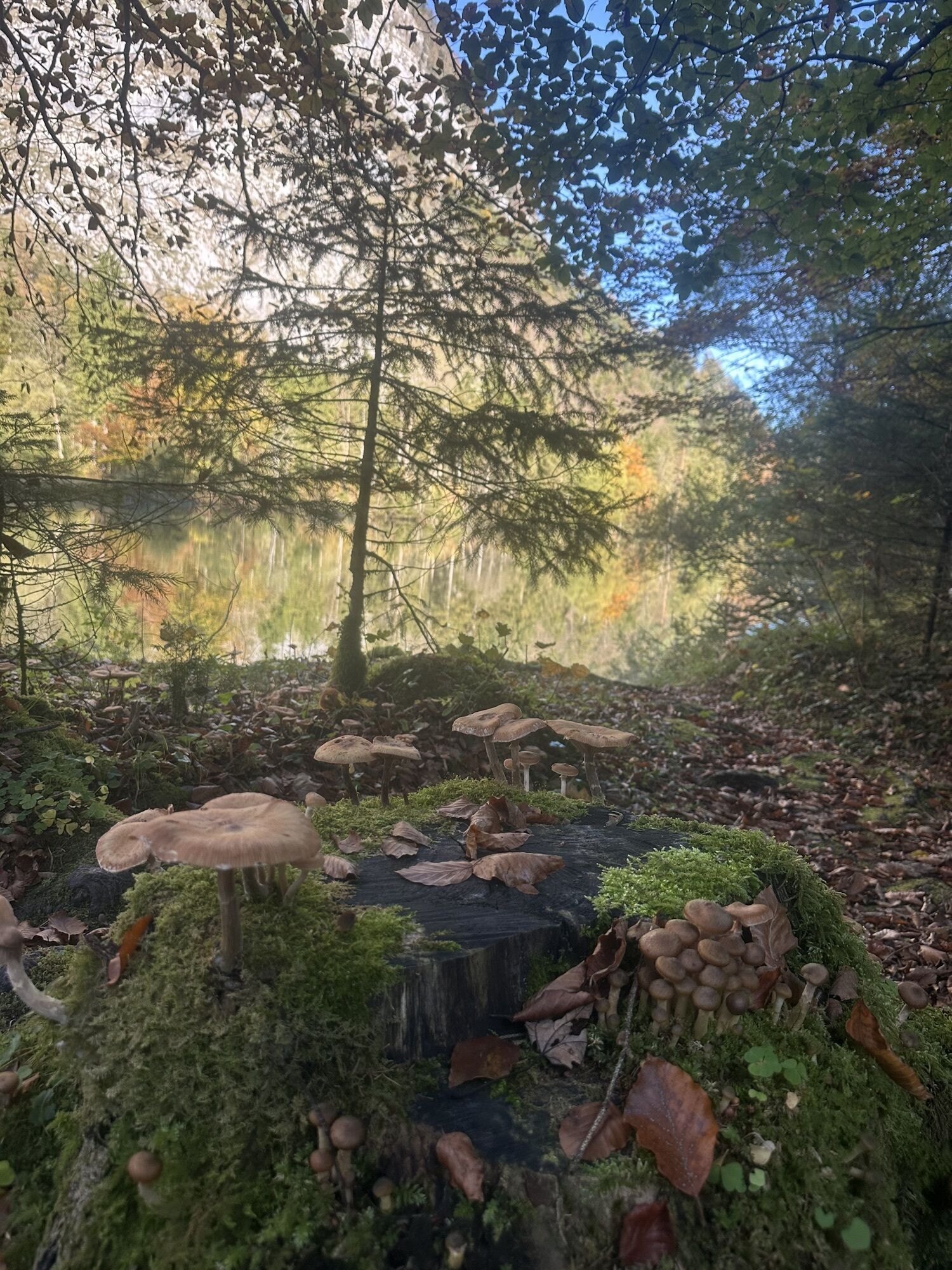
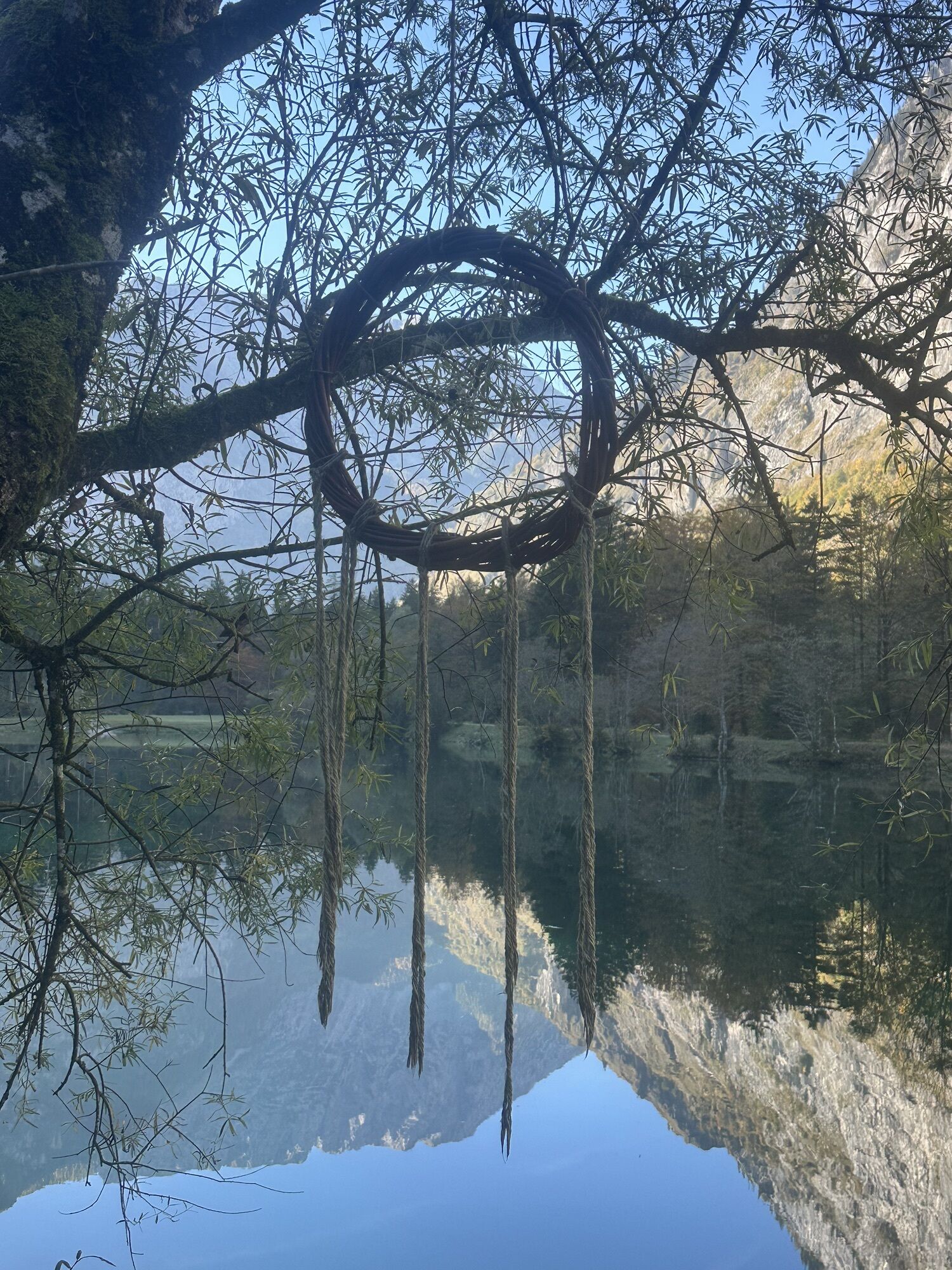
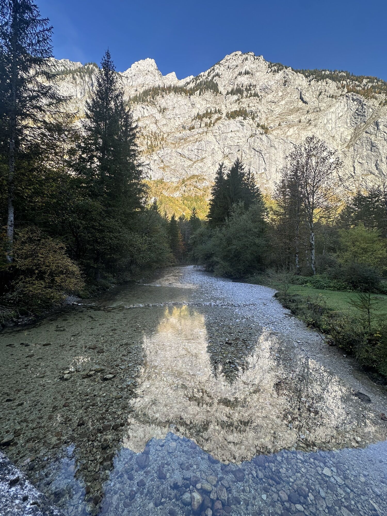
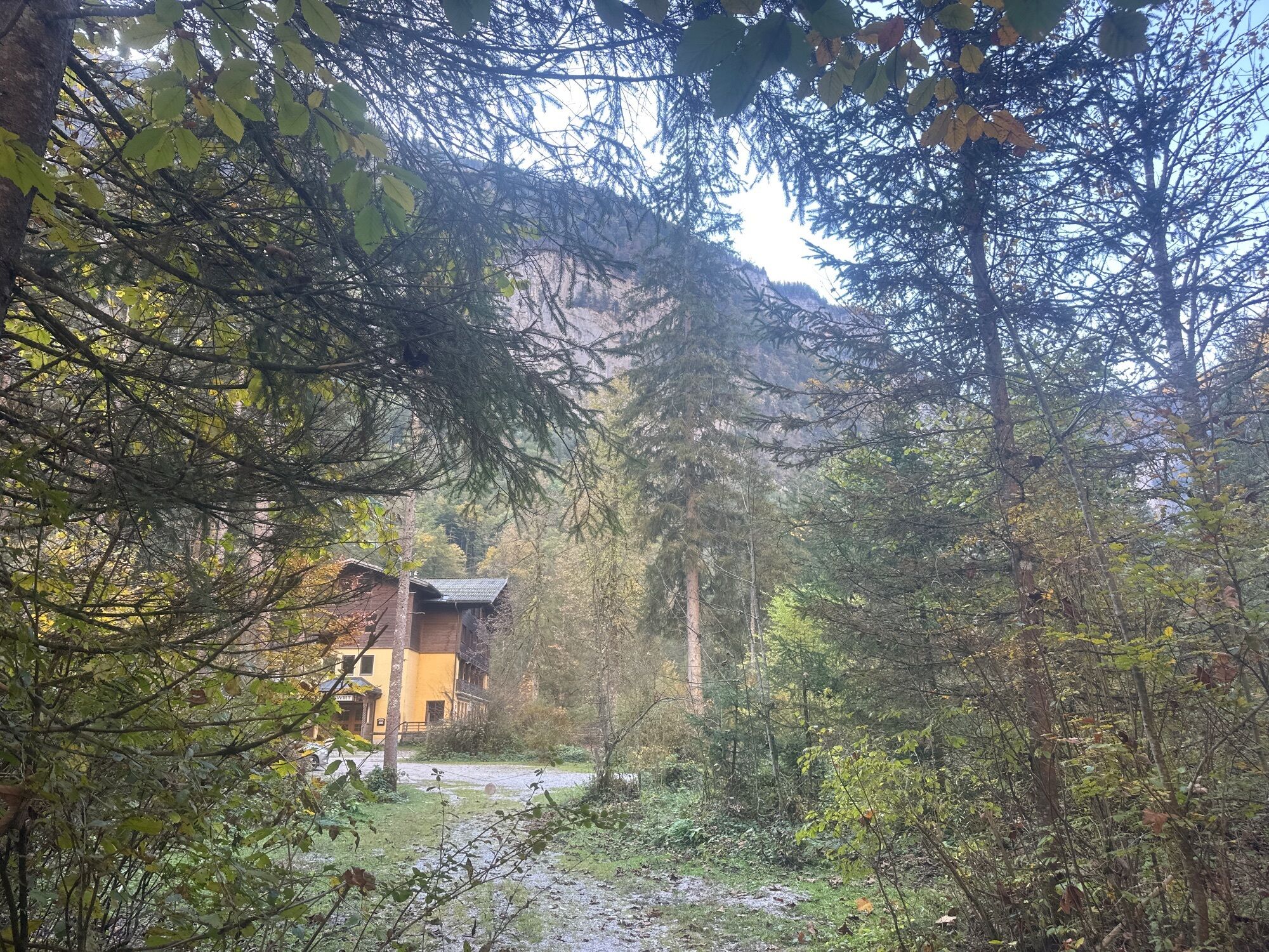
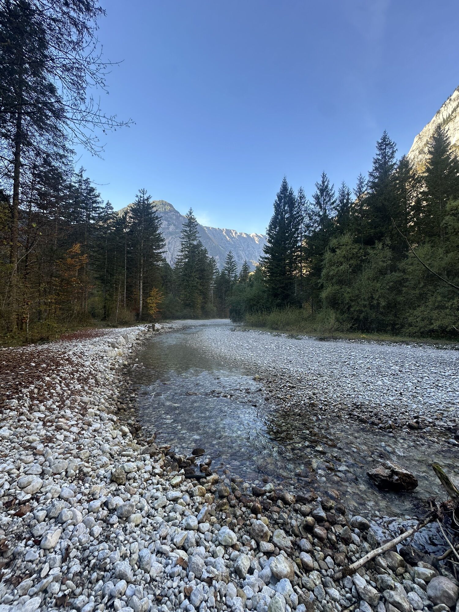
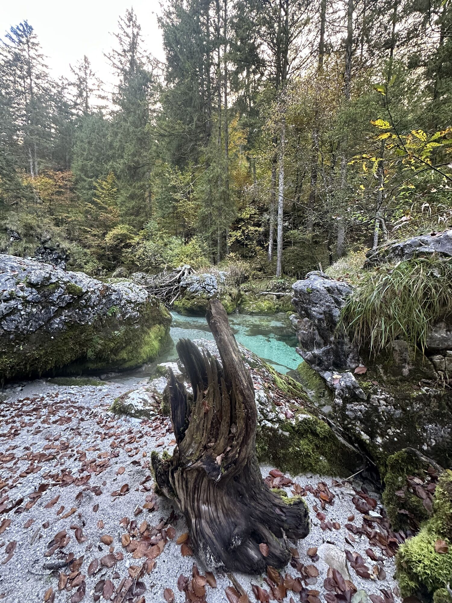
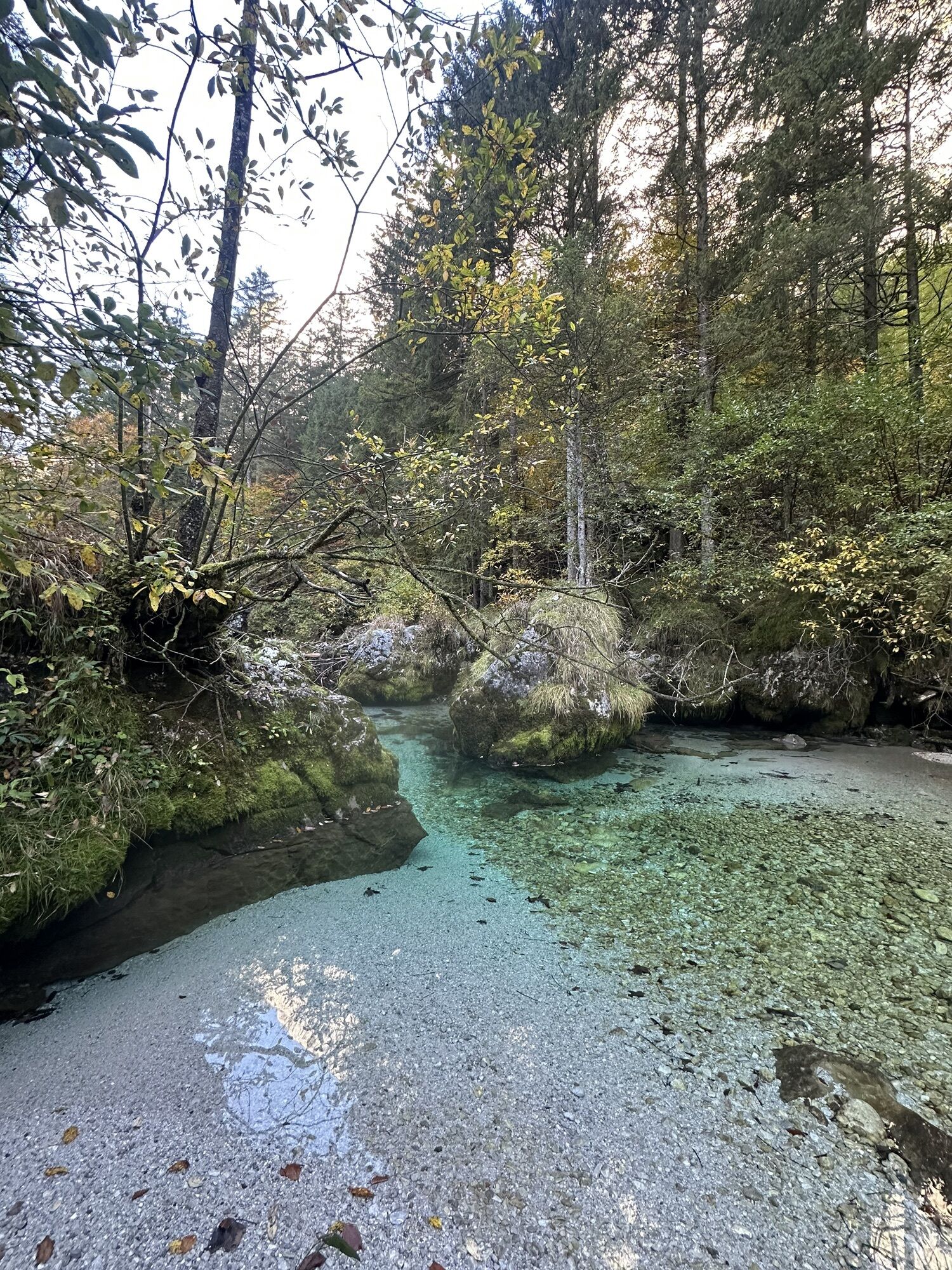
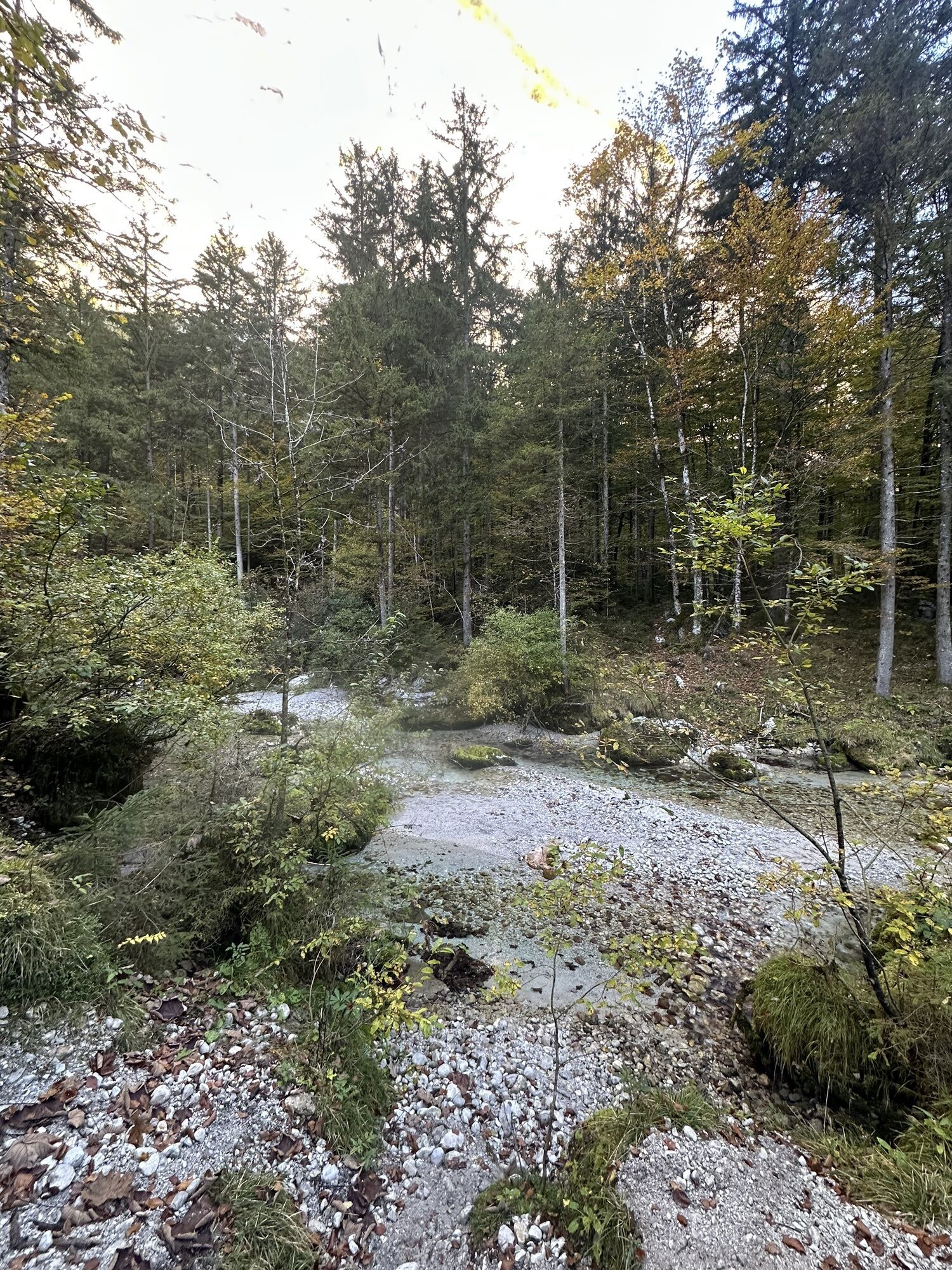
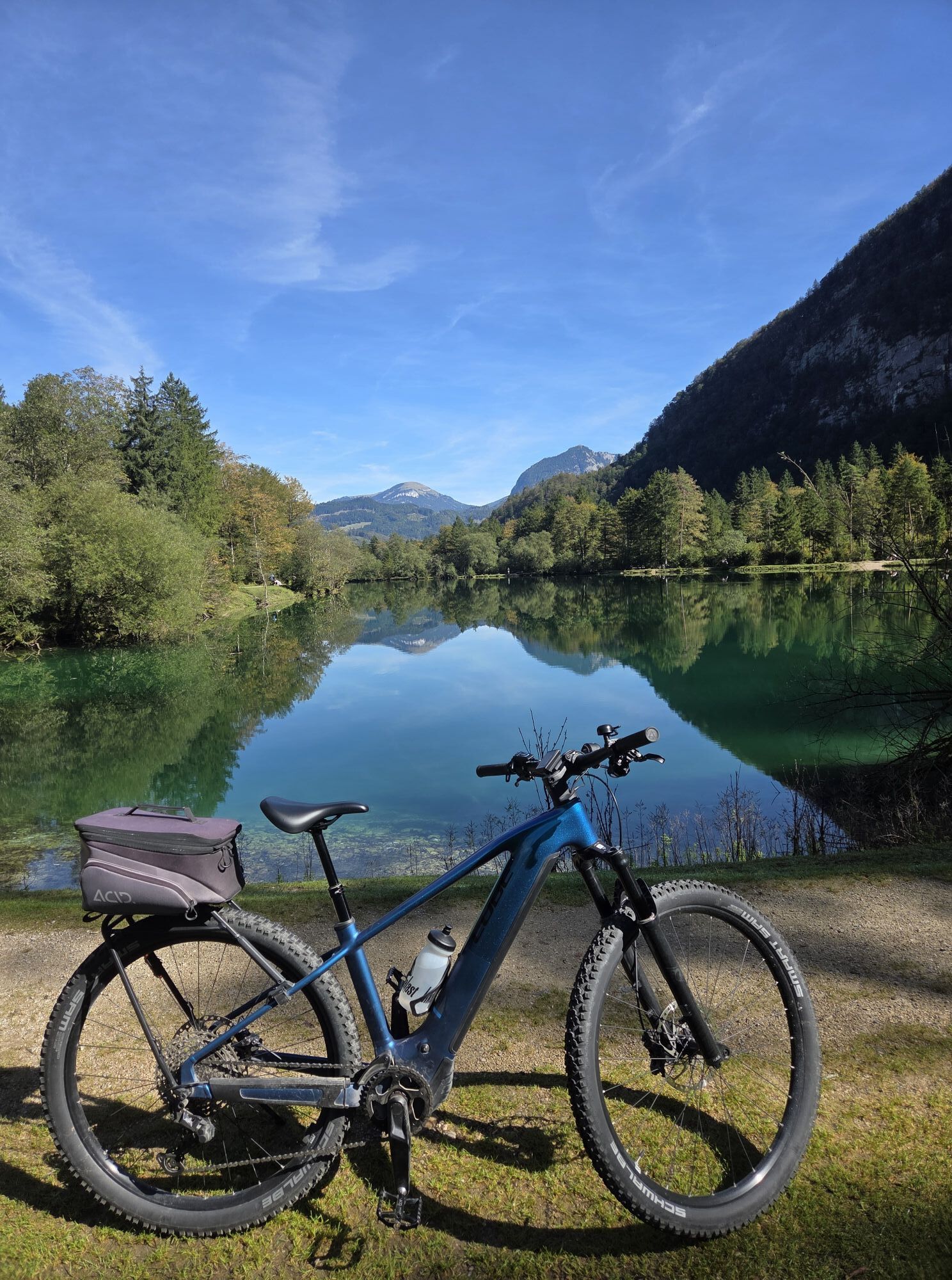
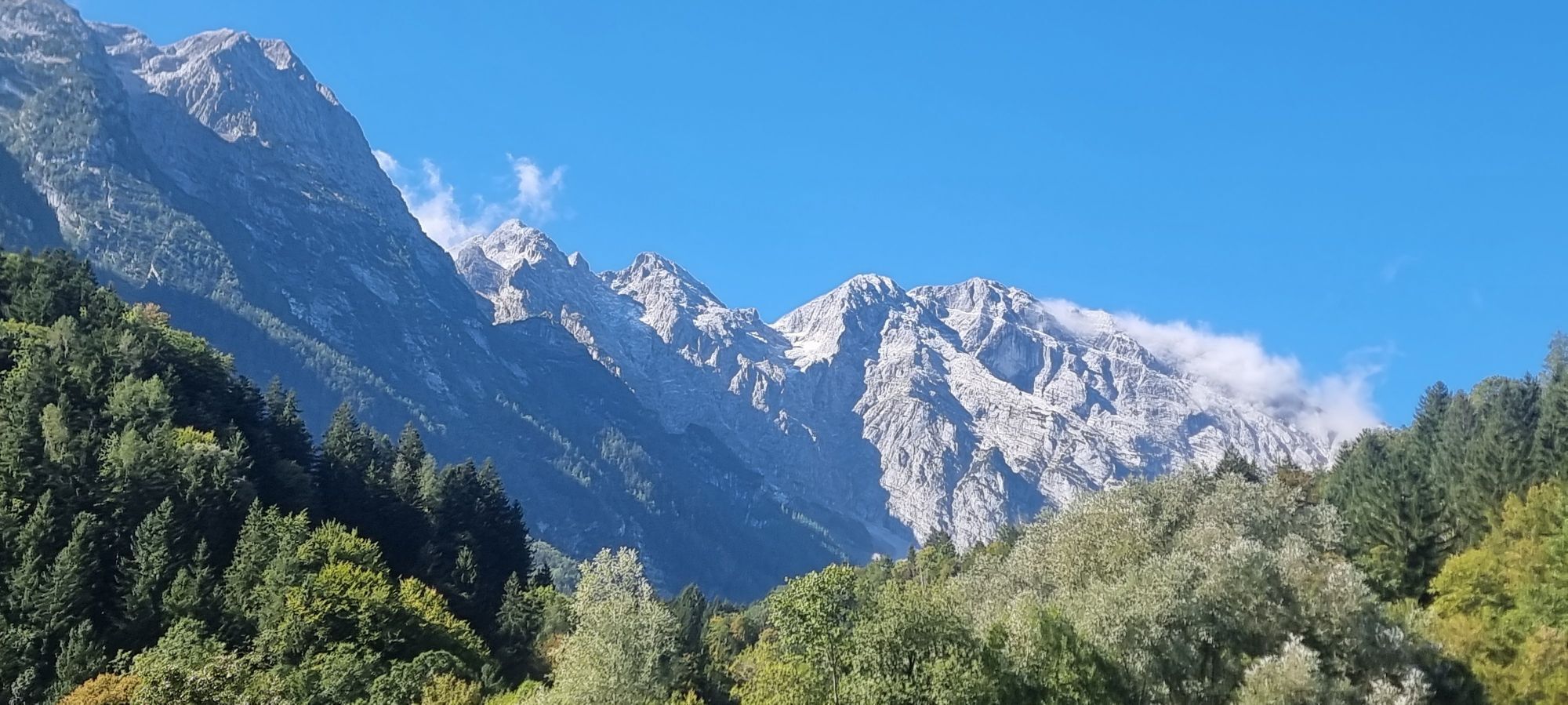




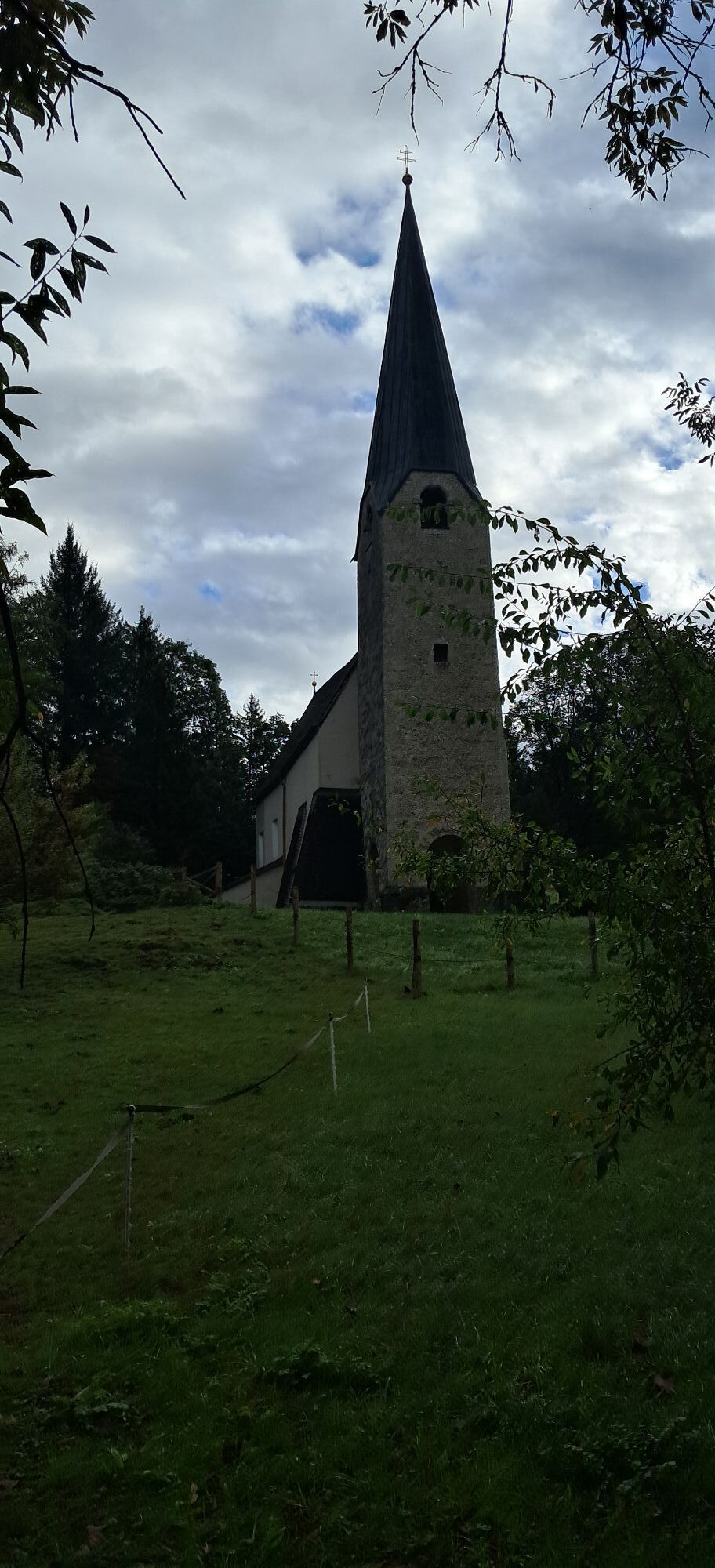
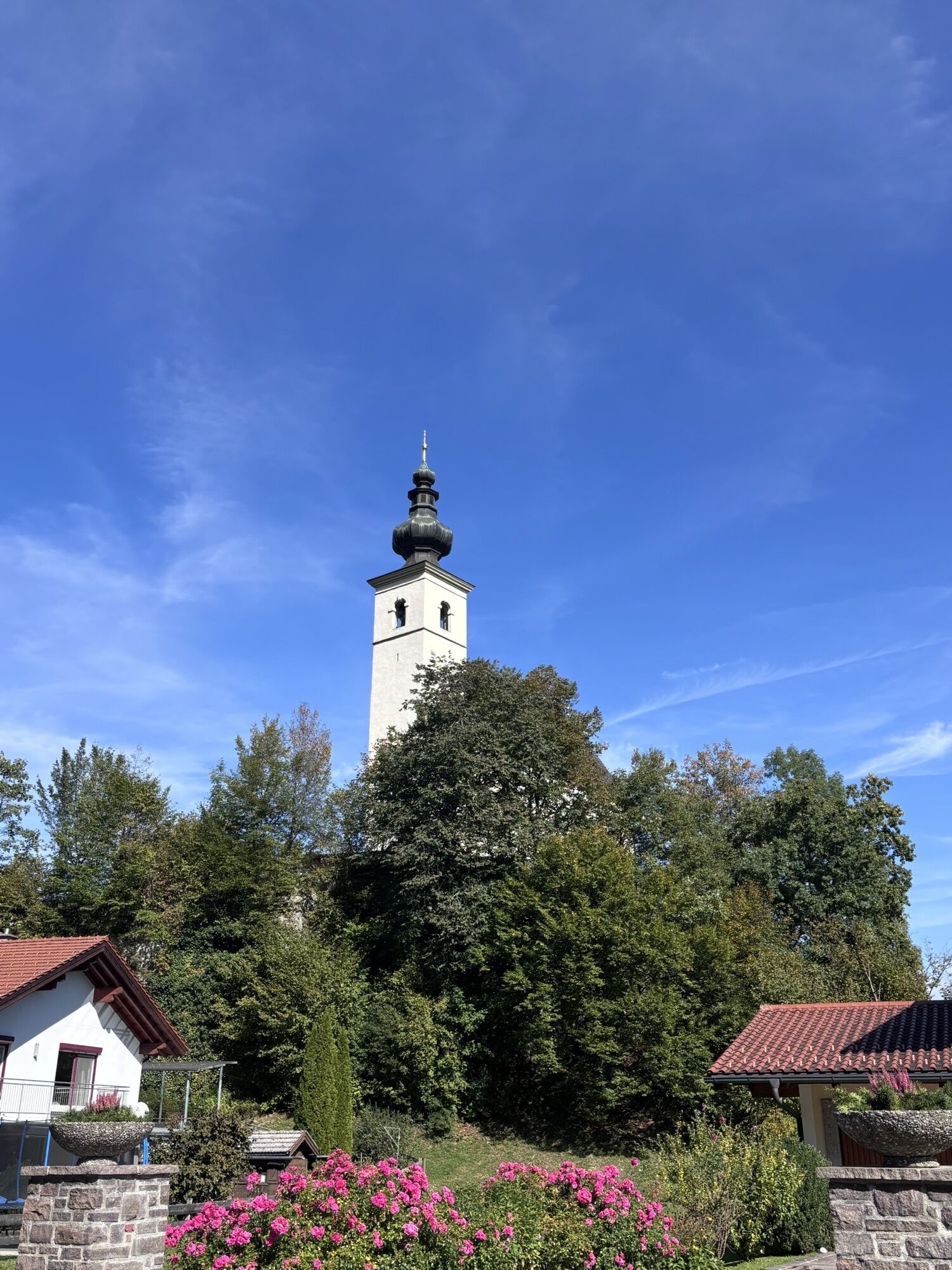
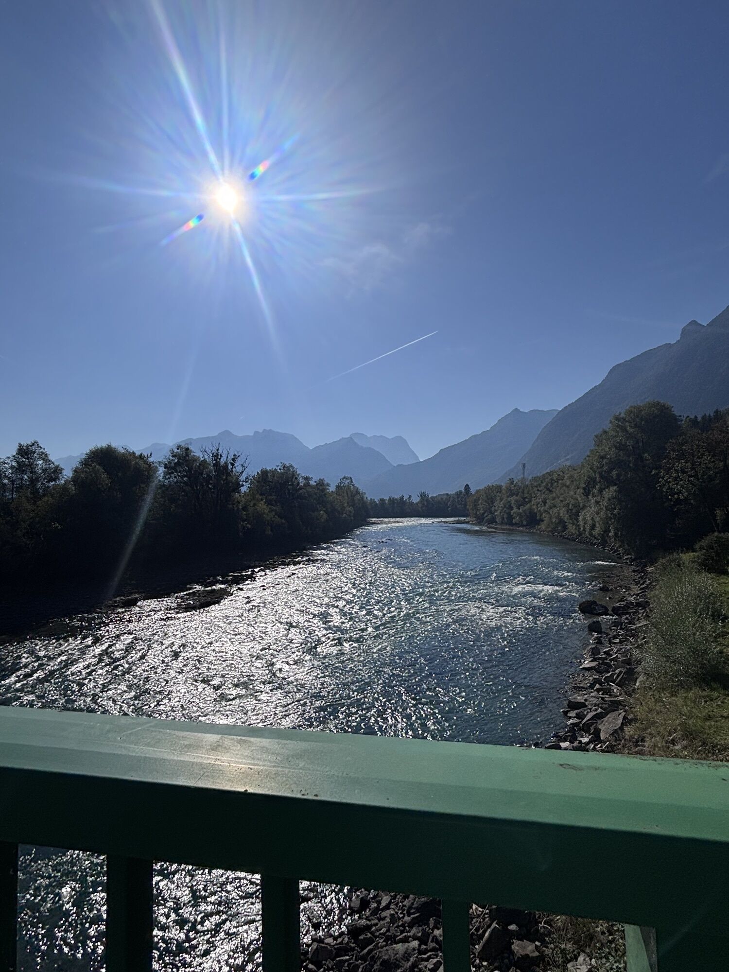
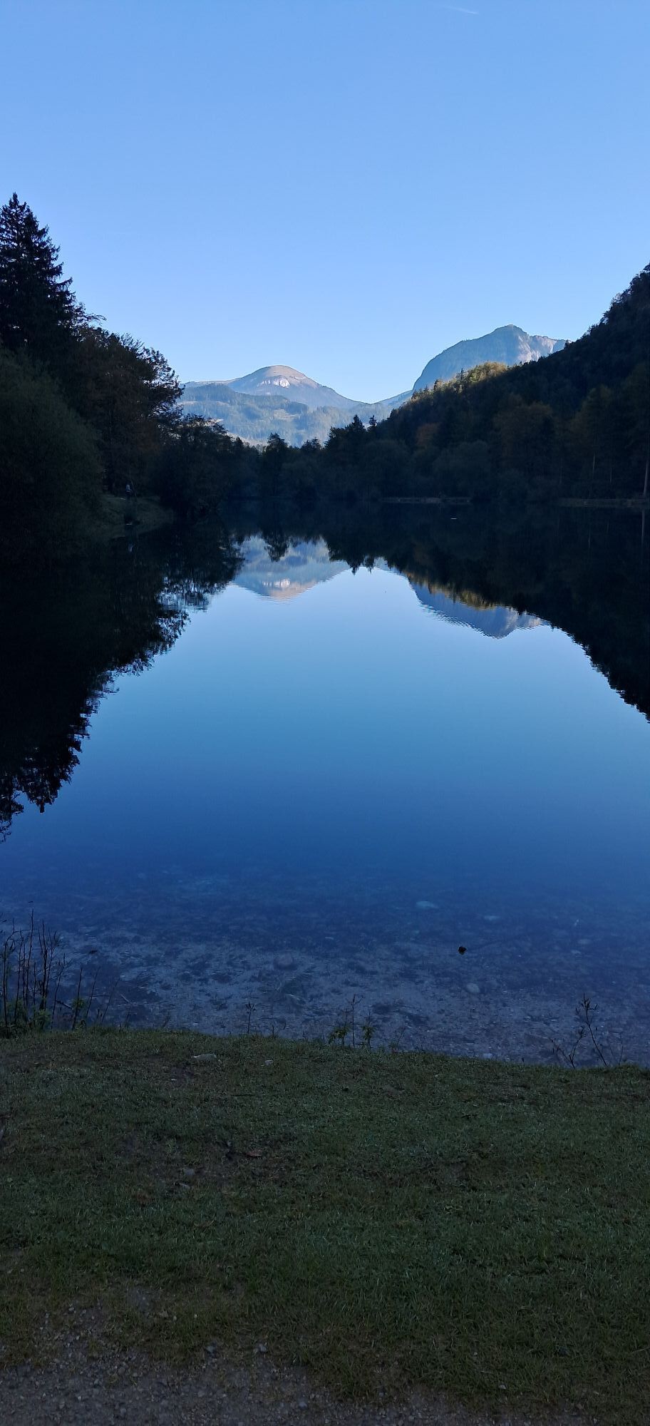
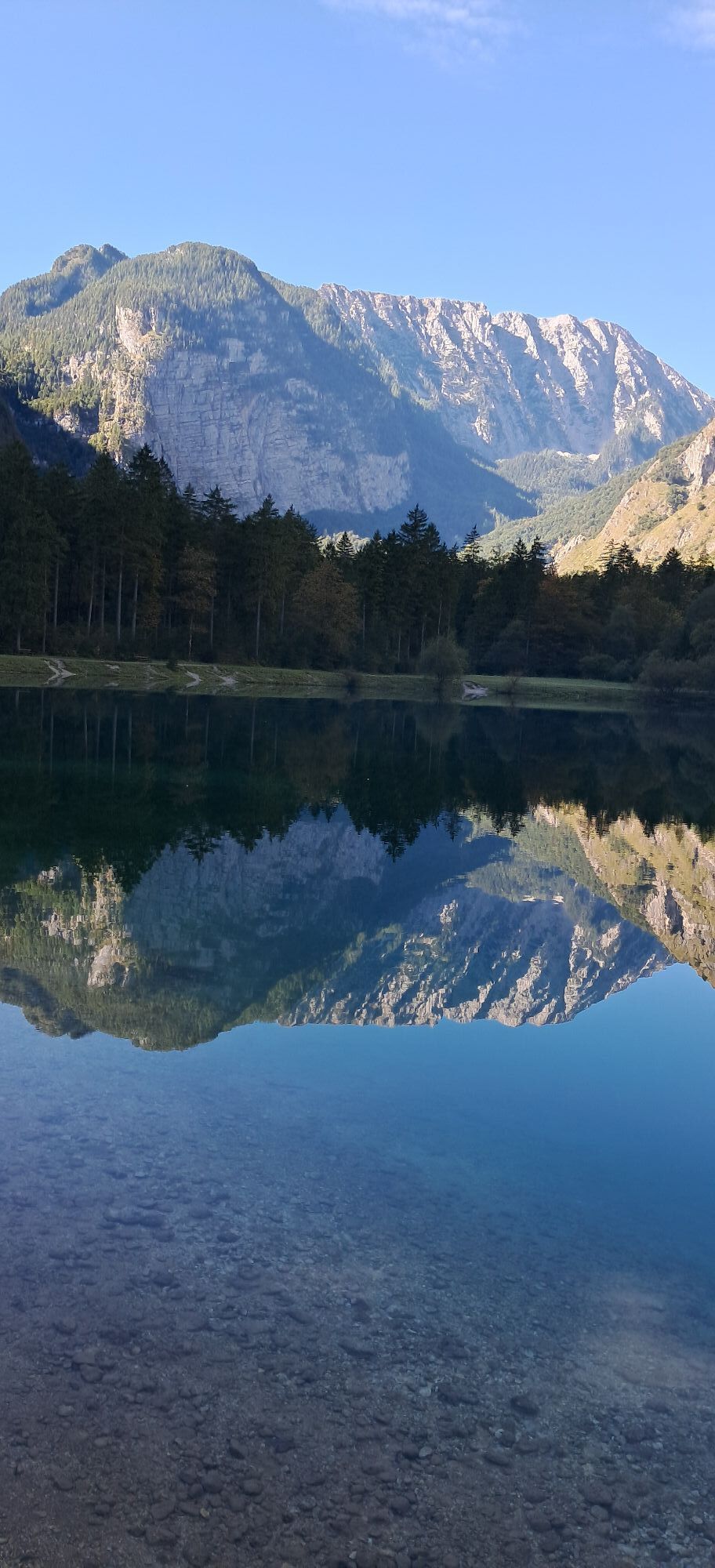
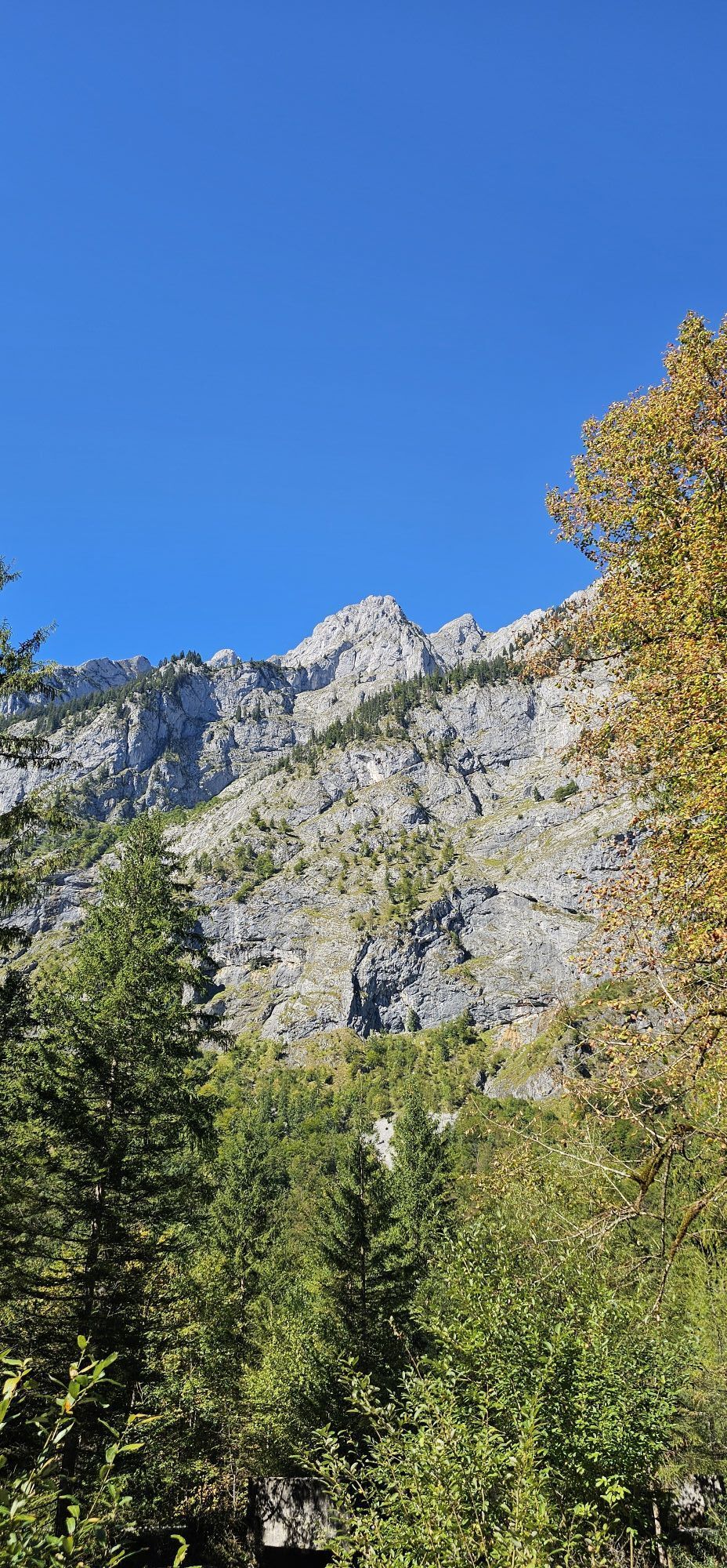
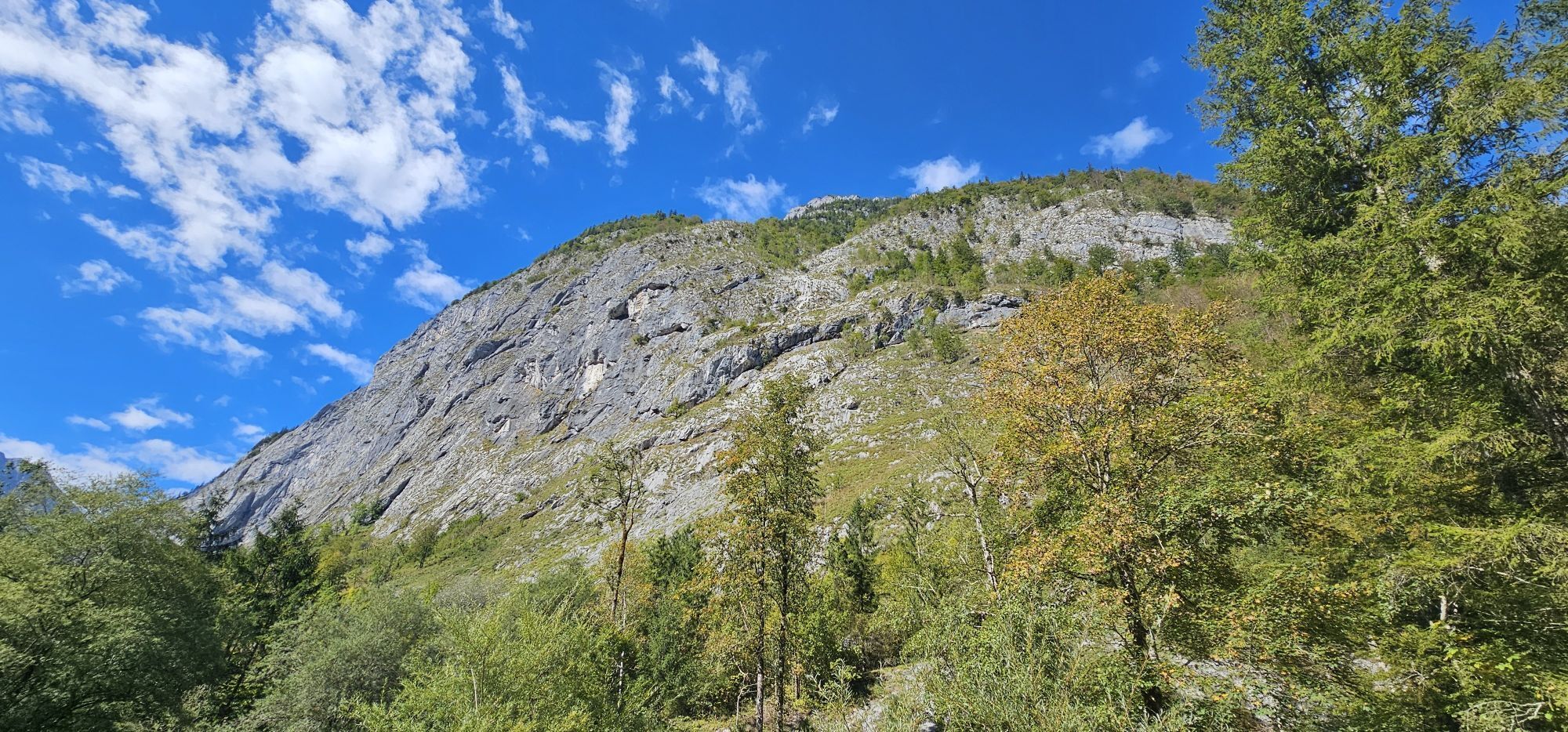
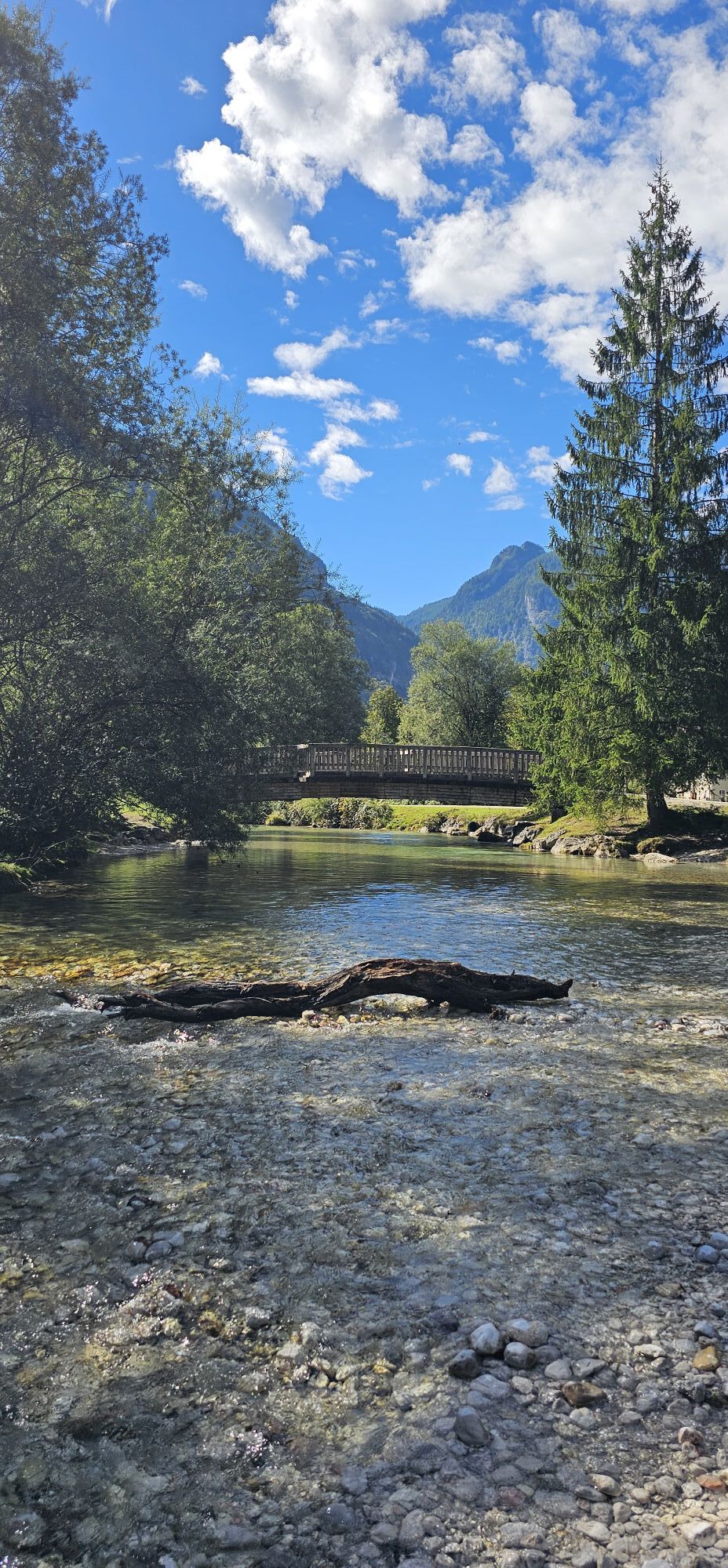


The route runs mostly on pleasant side roads, away from heavy traffic. In the Bluntau Valley, you can first enjoy nature to the fullest and then stroll through the old town of Hallein. Along the route...
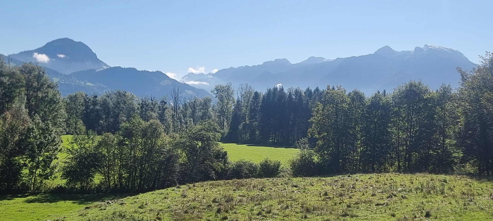
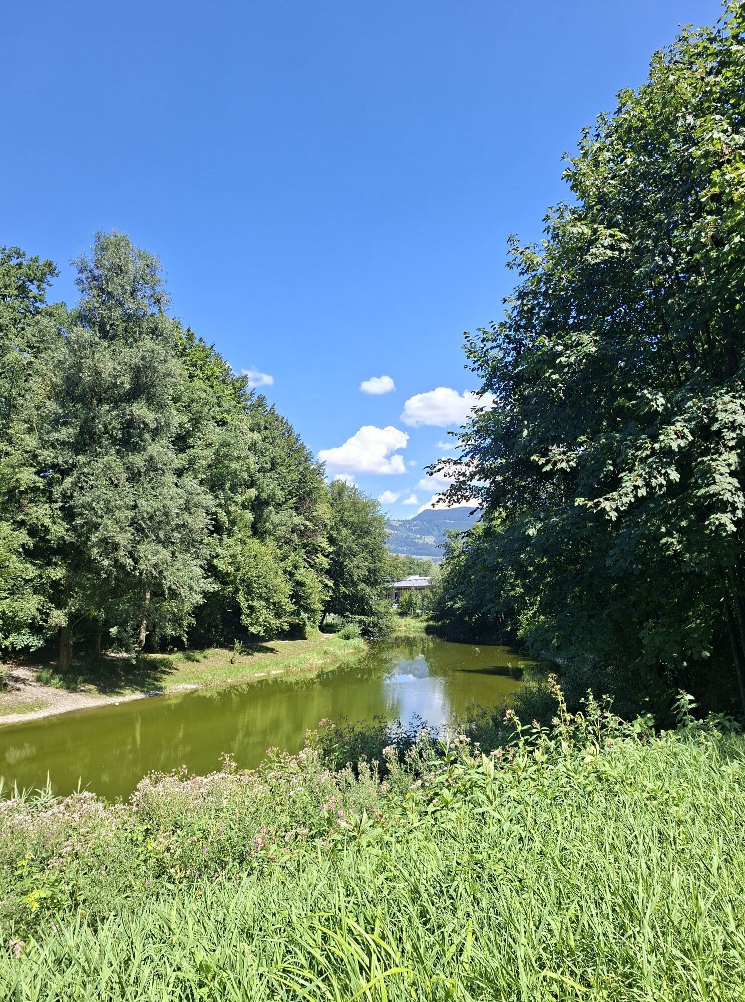
The route runs mostly on pleasant side roads, away from heavy traffic. In the Bluntau Valley, you can first enjoy nature to the fullest and then stroll through the old town of Hallein. Along the route you will find many places to stop, such as inns and cafés.



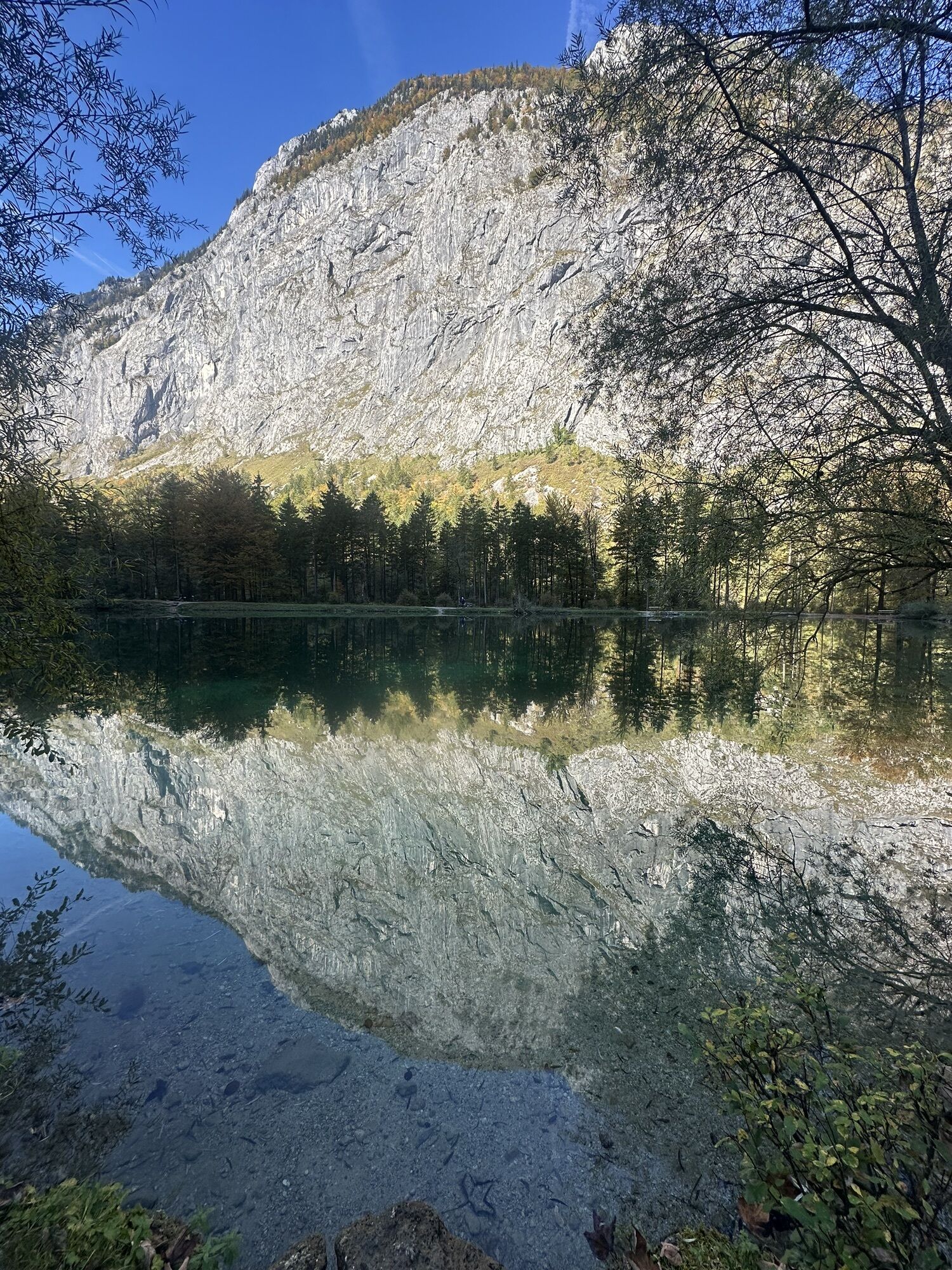
Starting from the village square Bad Vigaun, cycle via Schulweg and Langgasse towards St. Koloman. About 800 meters after the sign marking the end of Bad Vigaun, turn left at the junction towards Kuchl into Römerstraße. Here you will discover the natural monument "Roman Bridge". From here you cycle on side roads to Golling. In Golling, go along Marktstraße under the railway underpass and cross the Salzach bridge. Just after the bridge turn left into Bluntaustraße. On this street you will reach the Bluntau Valley directly, where you can cycle the circuit up to the inn Bärenwirt or only to Lake Bluntau.
Return: After the two motorway underpasses that you passed on Bluntaustraße on the way there, turn left onto Hoferweg. Turn left into Wasserfallstraße and follow the signs for "Tauernradweg". Cross the Anton-Neumayr bridge in Hallein. Turn right into Davisstraße. Via Kellnerstraße and Partingtonstraße you reach Salzachtal federal road. Follow the cycle path along it back to the starting point in Bad Vigaun.
Áno
Take the Hallein motorway exit, straight over two roundabouts. At the third roundabout take the second exit. From here, Bad Vigaun can be reached within a few minutes by car.
The starting point is reachable within a 10-minute walk with the ÖBB S3 from/to Bad Vigaun stop.
Public parking east at the fire brigade Bad Vigaun or at the New Middle School/Nah&Frisch Bad Vigaun.
Webové kamery z prehliadky

Obľúbené výlety v okolí
-
4,7
Schwarzer Berg / Golling
strednáTuristika 2,54 km -
4,6
Kneifelspitze
Turistika 2,53 km -
4,1
Malerwinkel Rundwanderweg
svetloTuristika 3,60 km -
4,2
Durch die Almbachklamm nach Ettenberg
Turistika 7,54 km -
4,5
Grünstein
svetloTuristika 2,57 km -
3,7
Wanderung zur Ostpreußenhütte in Werfen (1.630 m)
strednáTuristika 11,2 km -
4,7
Great and Small Barmstein, the landmarks of Hallein
ťažkéTuristika 6,58 km -
4,4
Hike to the Kleiner Barmstein via the Thürndl ruin
strednáTuristika 4,20 km -
4,8
von Schönau am Königssee zum Watzmannhaus und zurück
strednáTuristika 17,1 km -
4,8
Jägersteig Jenner Mittelstation
strednáTuristika 11,4 km
Turistika a stopovanie


Nenechajte si ujsť ponuky a inšpiráciu na ďalšiu dovolenku
Vaša e-mailová adresa bol pridaný do poštového zoznamu.


