




E-BLACK LION

Úroveň náročnosti: 1
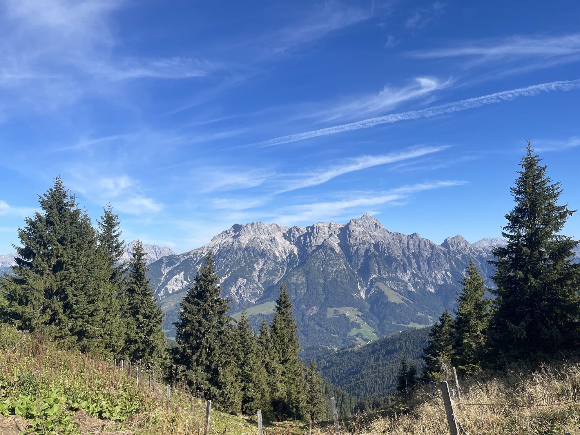
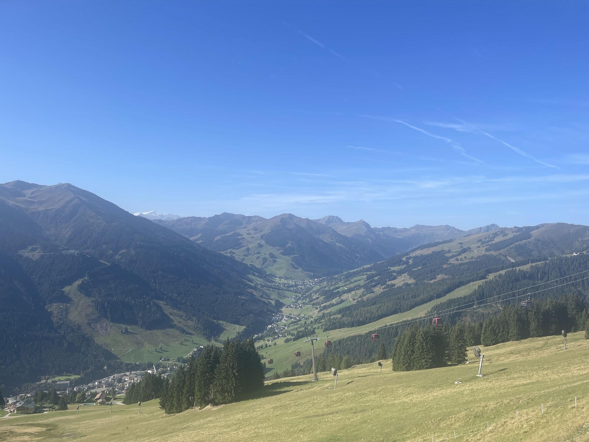
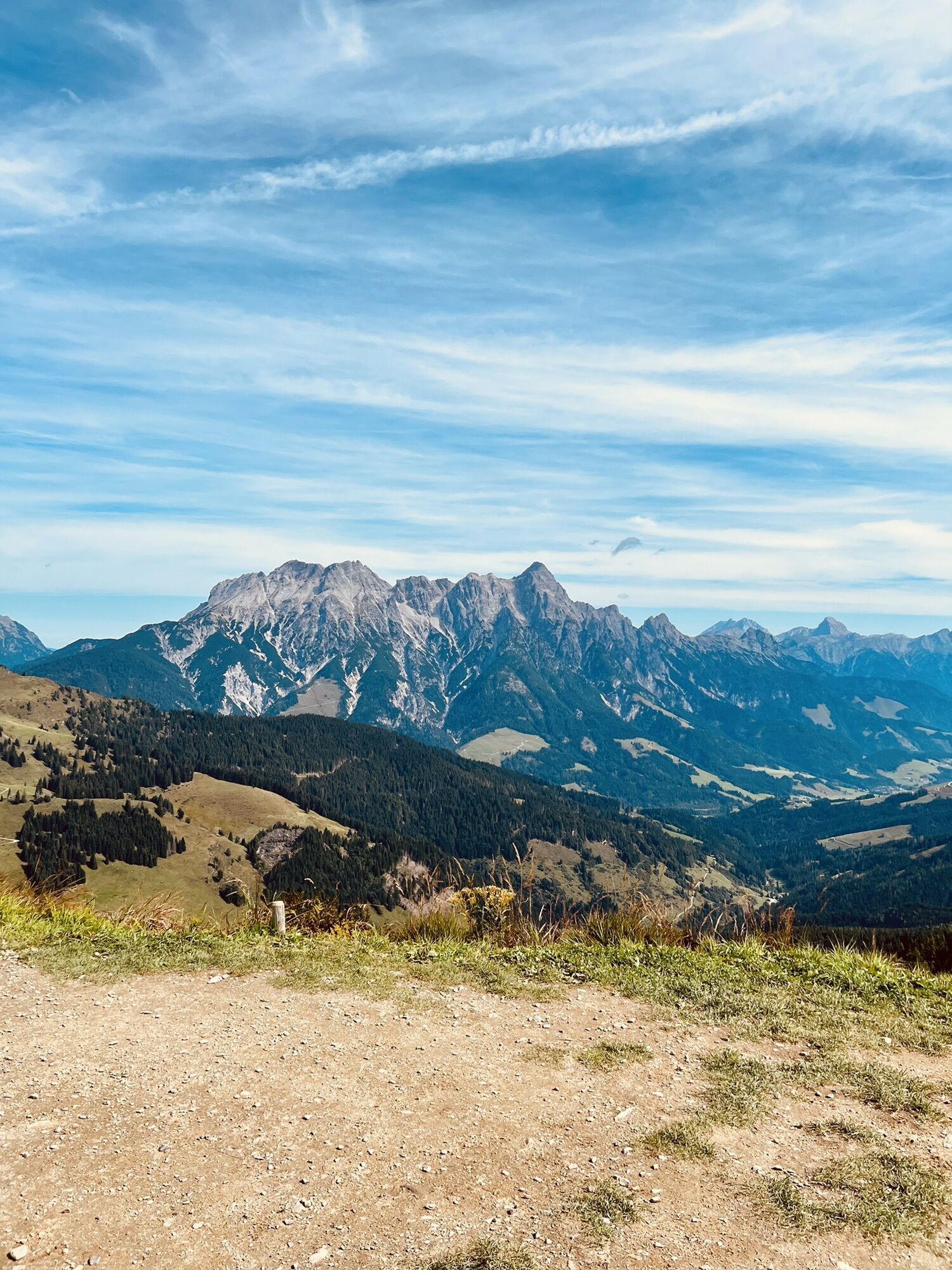
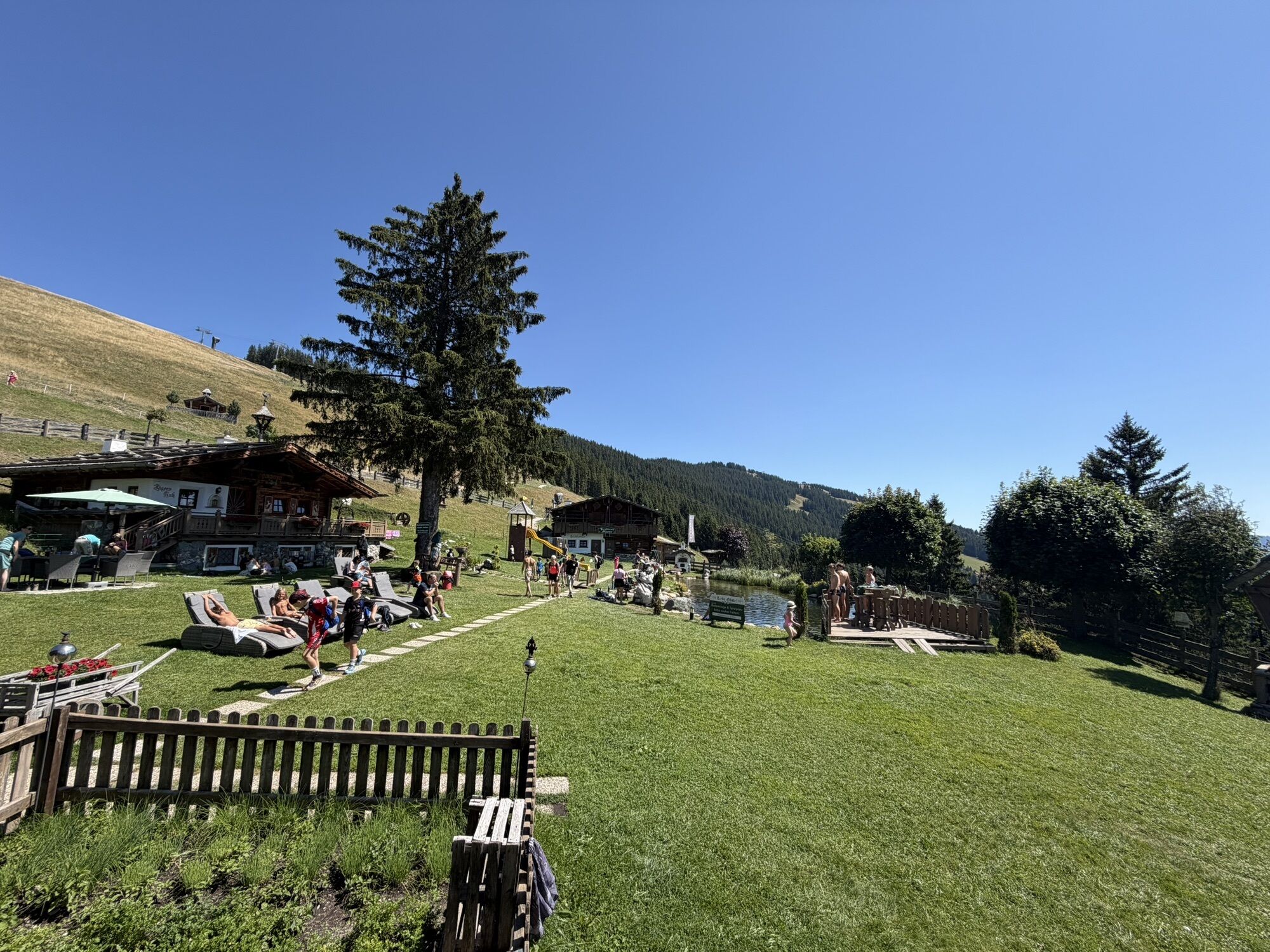


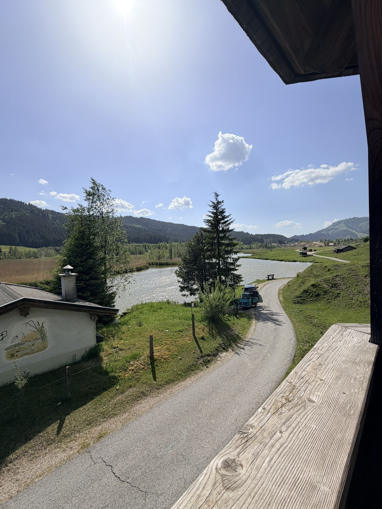
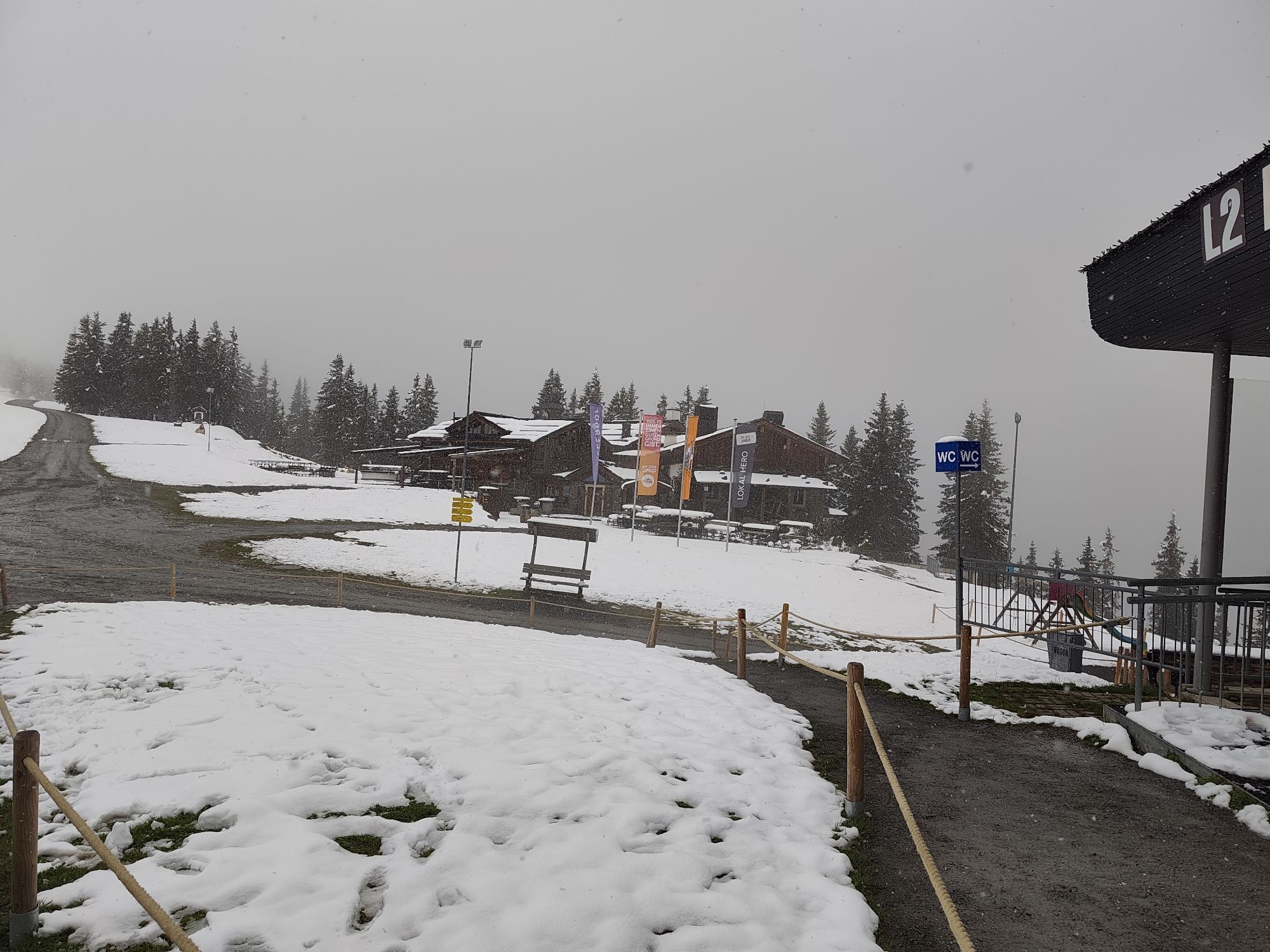


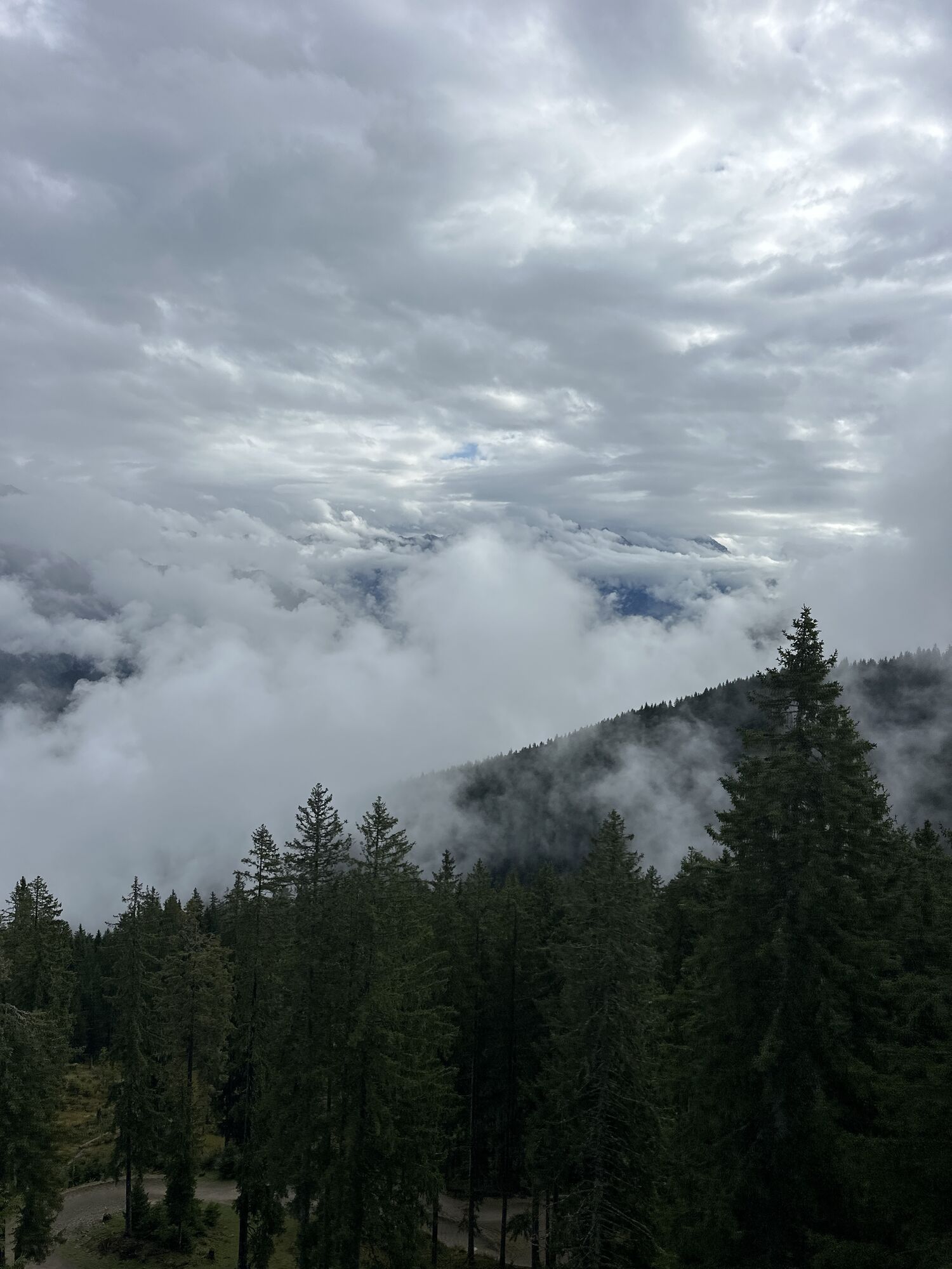
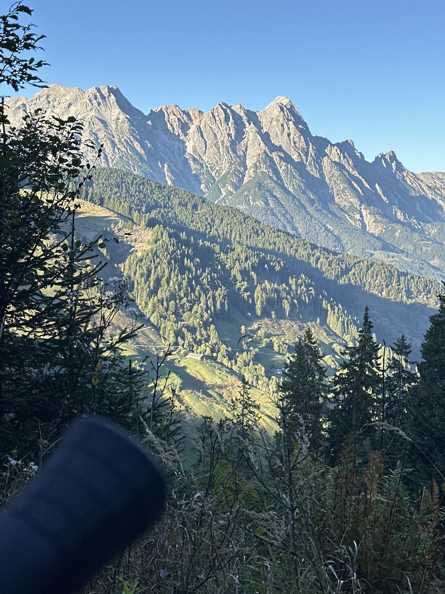
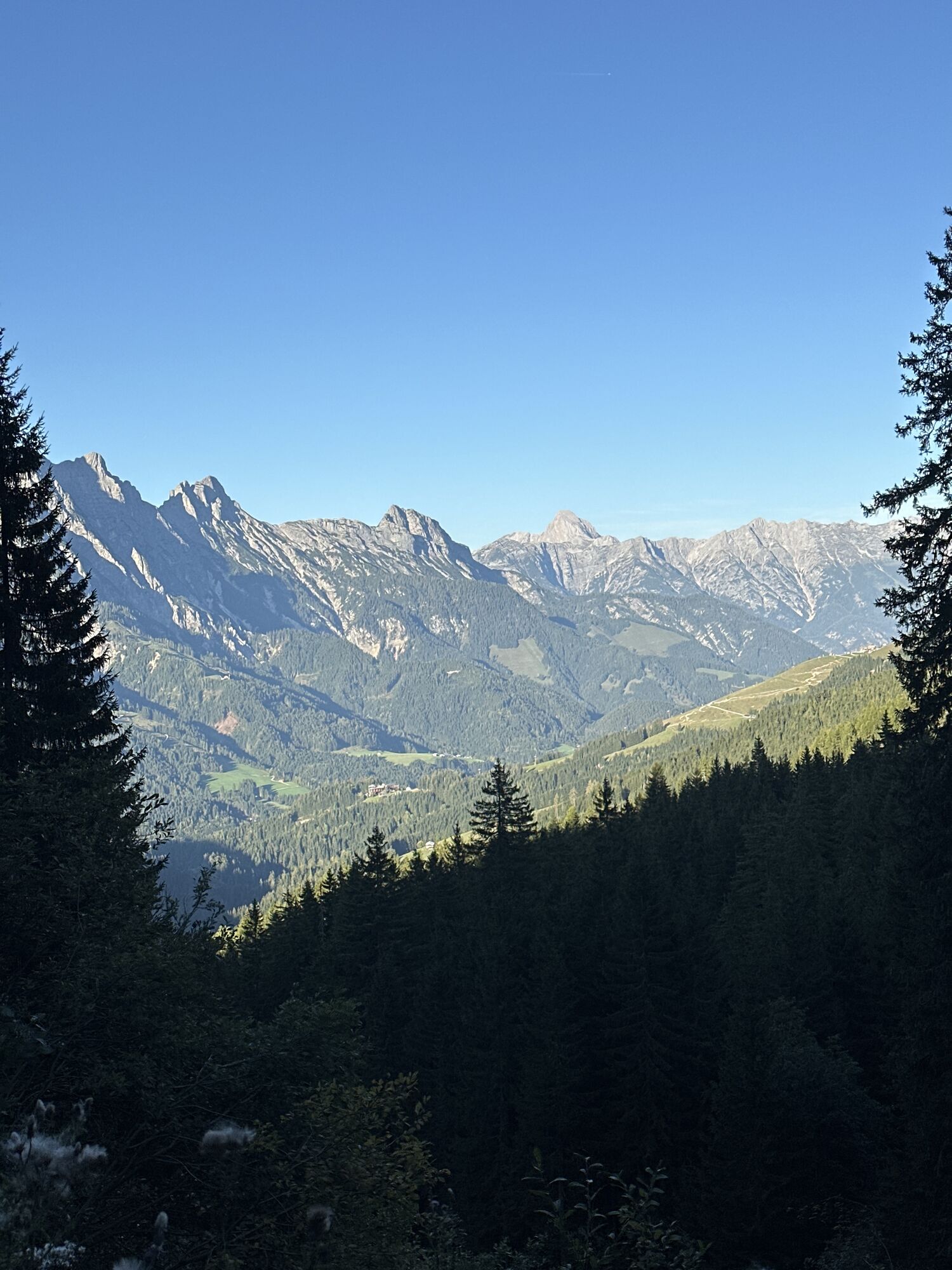
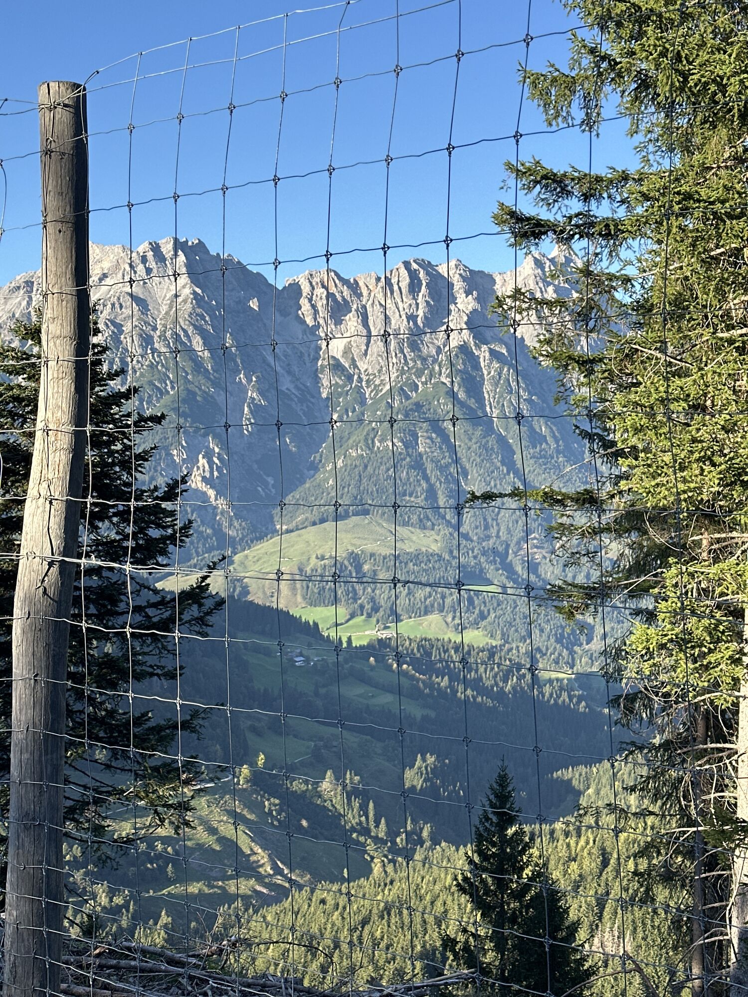
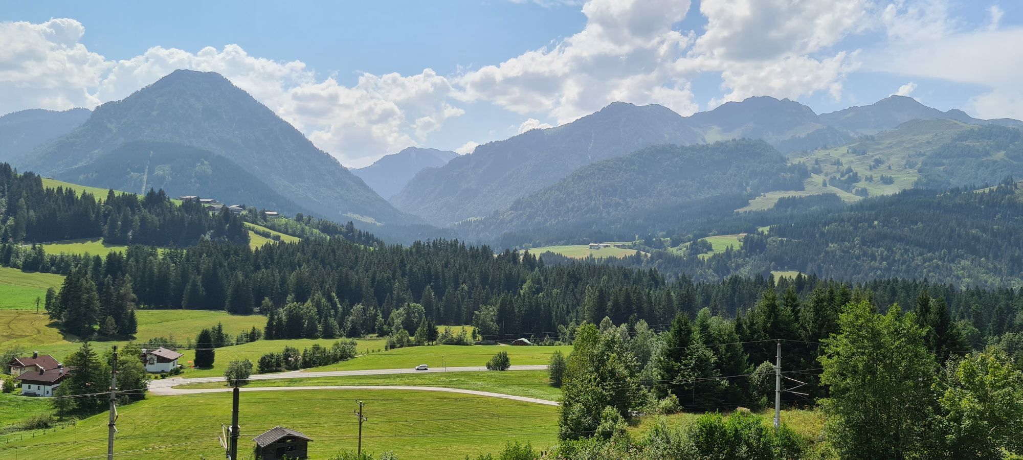
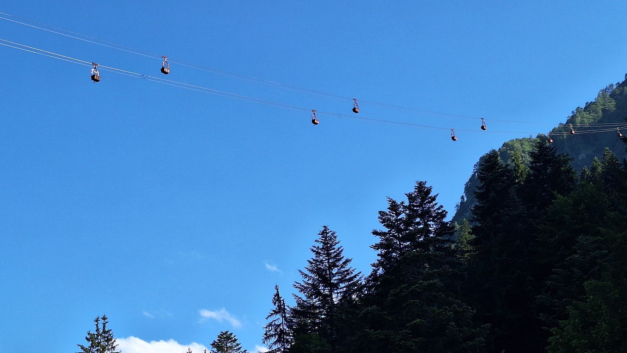
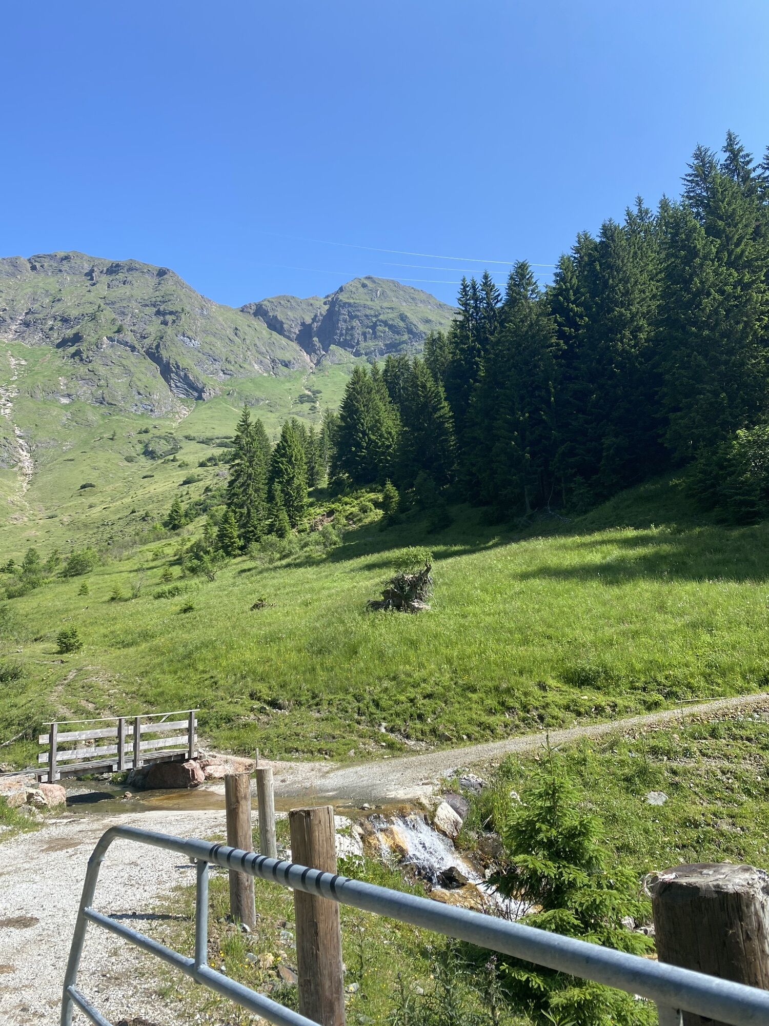
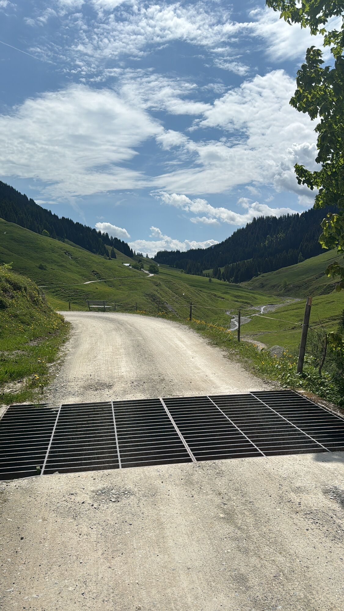
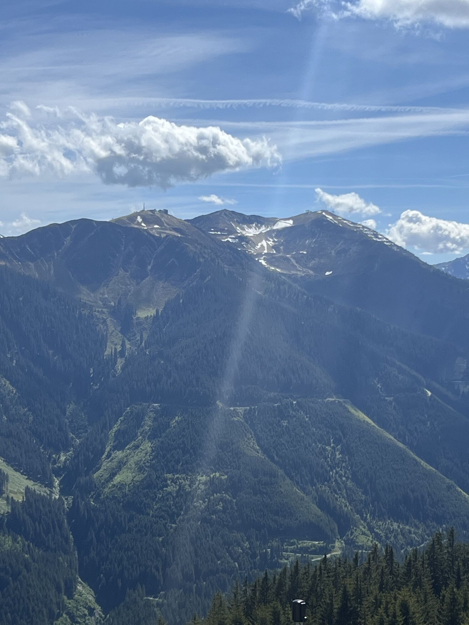
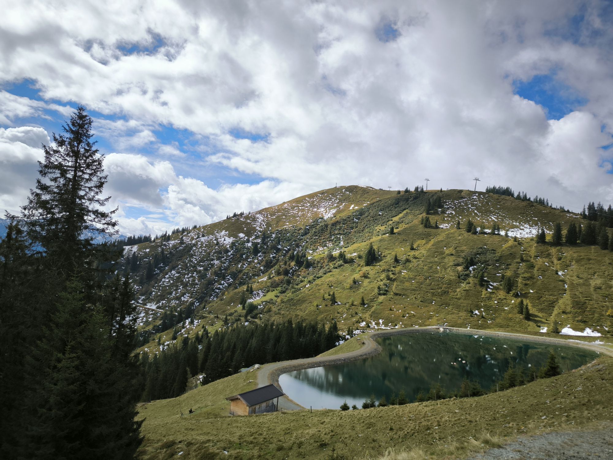

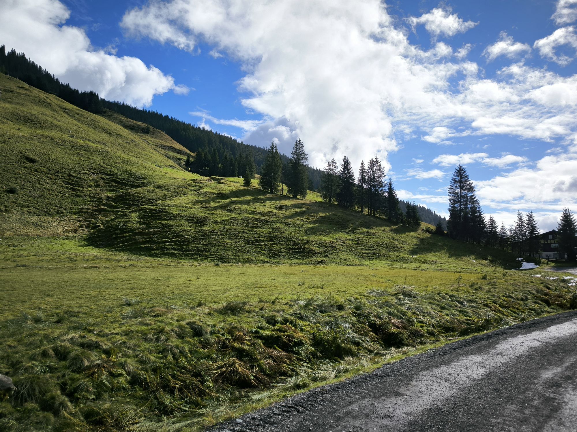
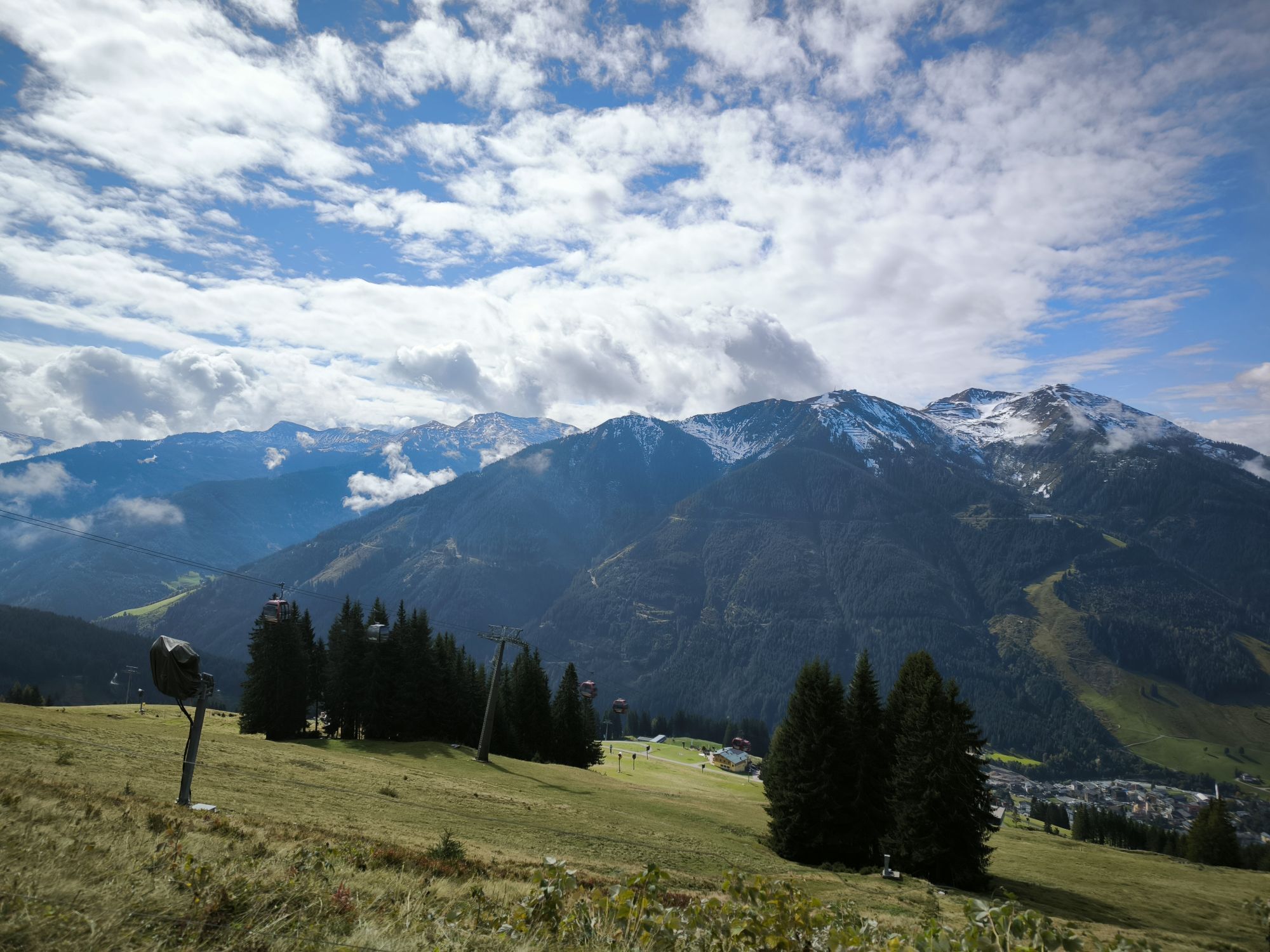
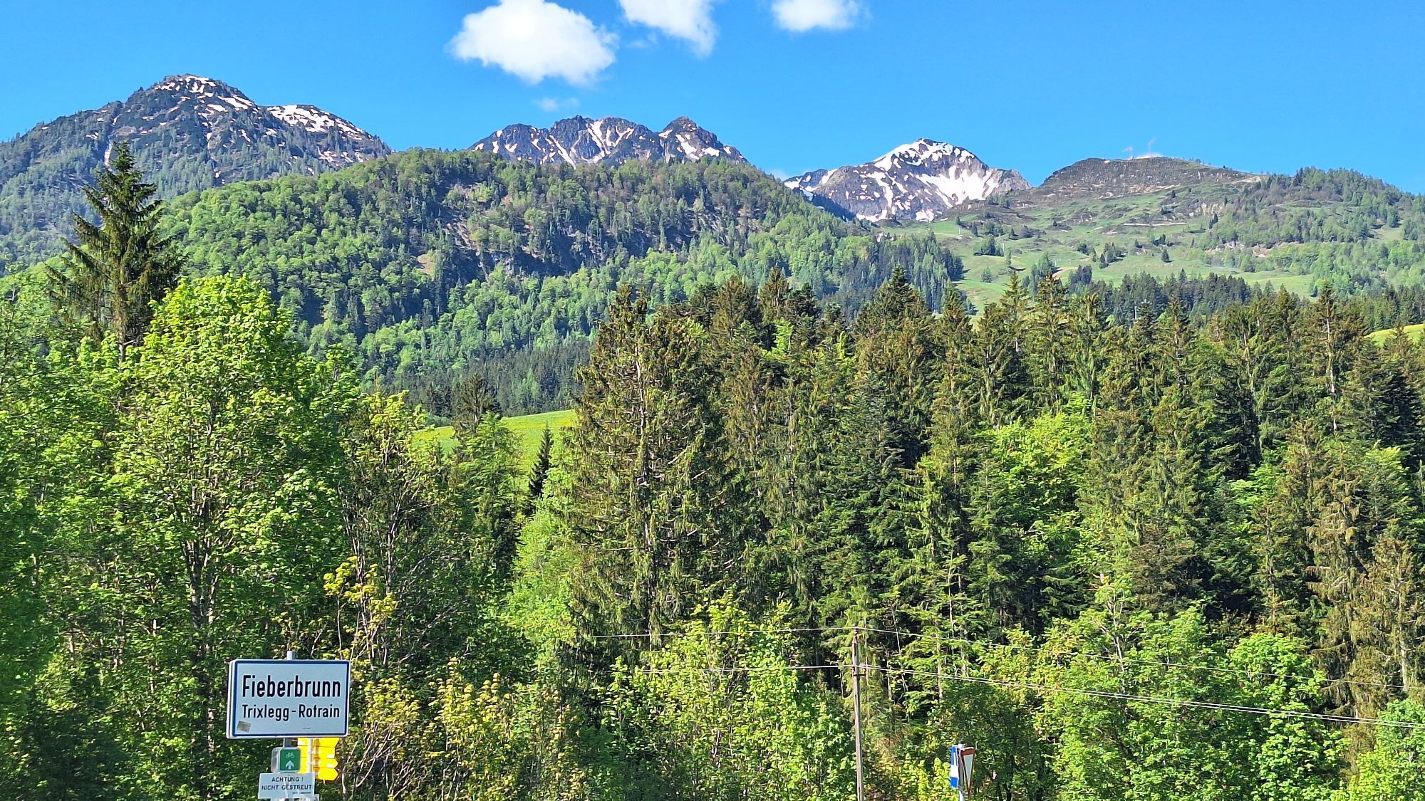
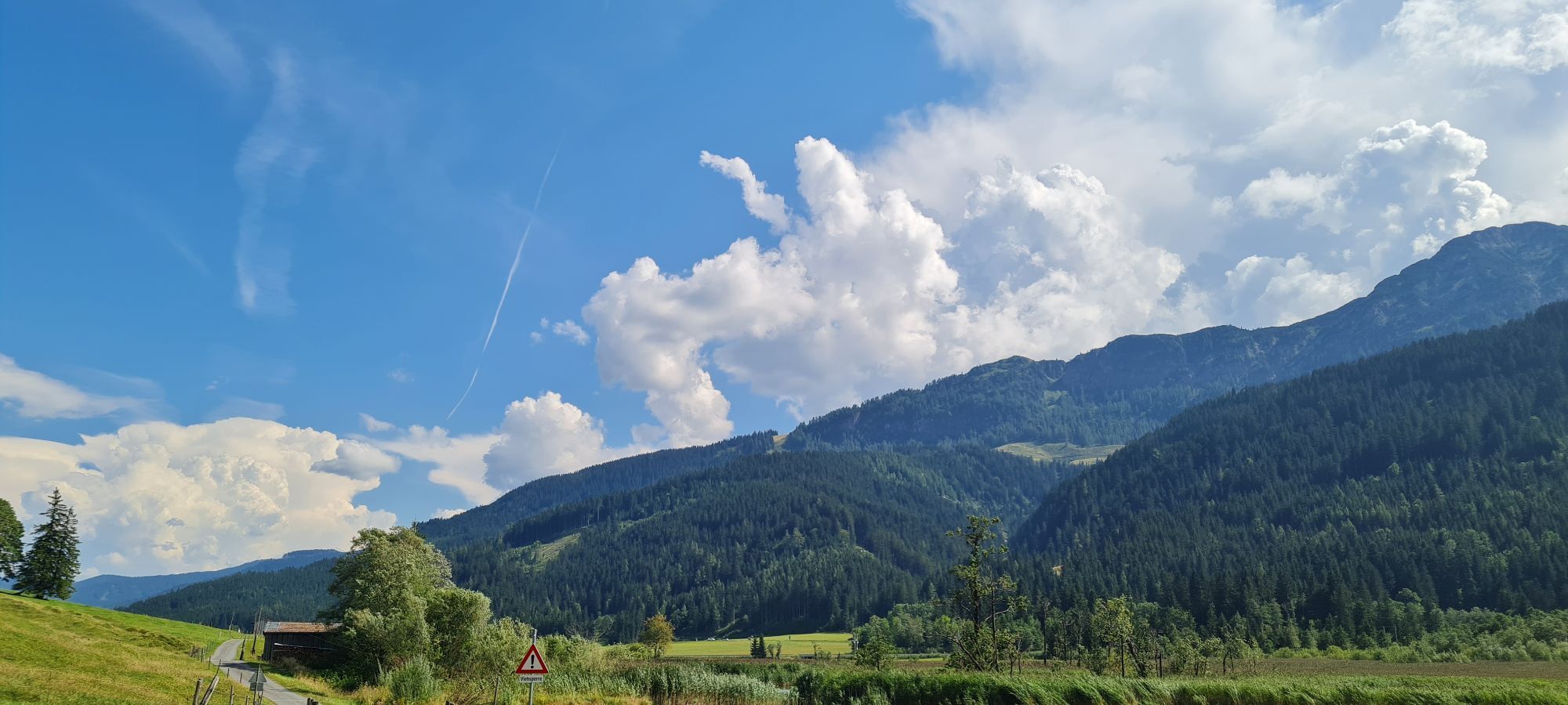
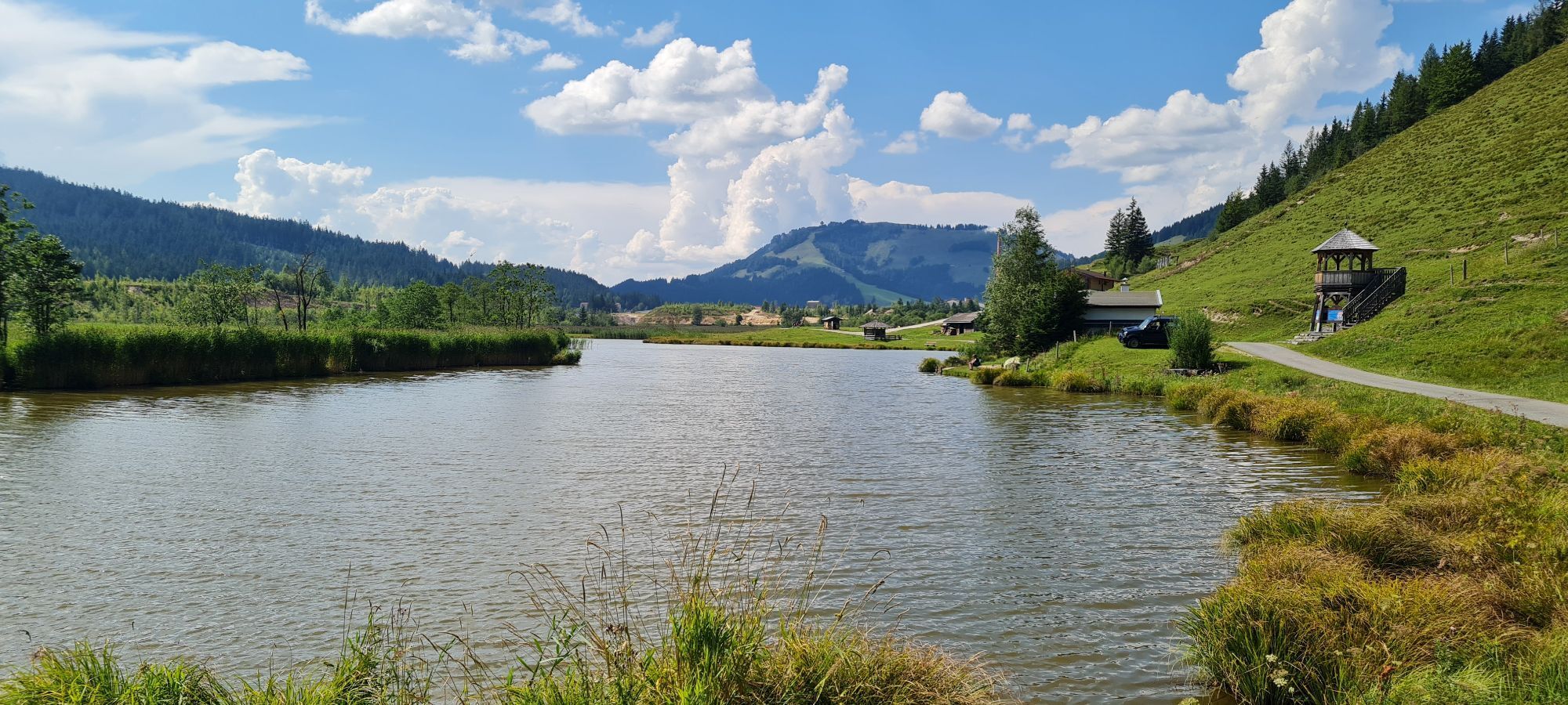
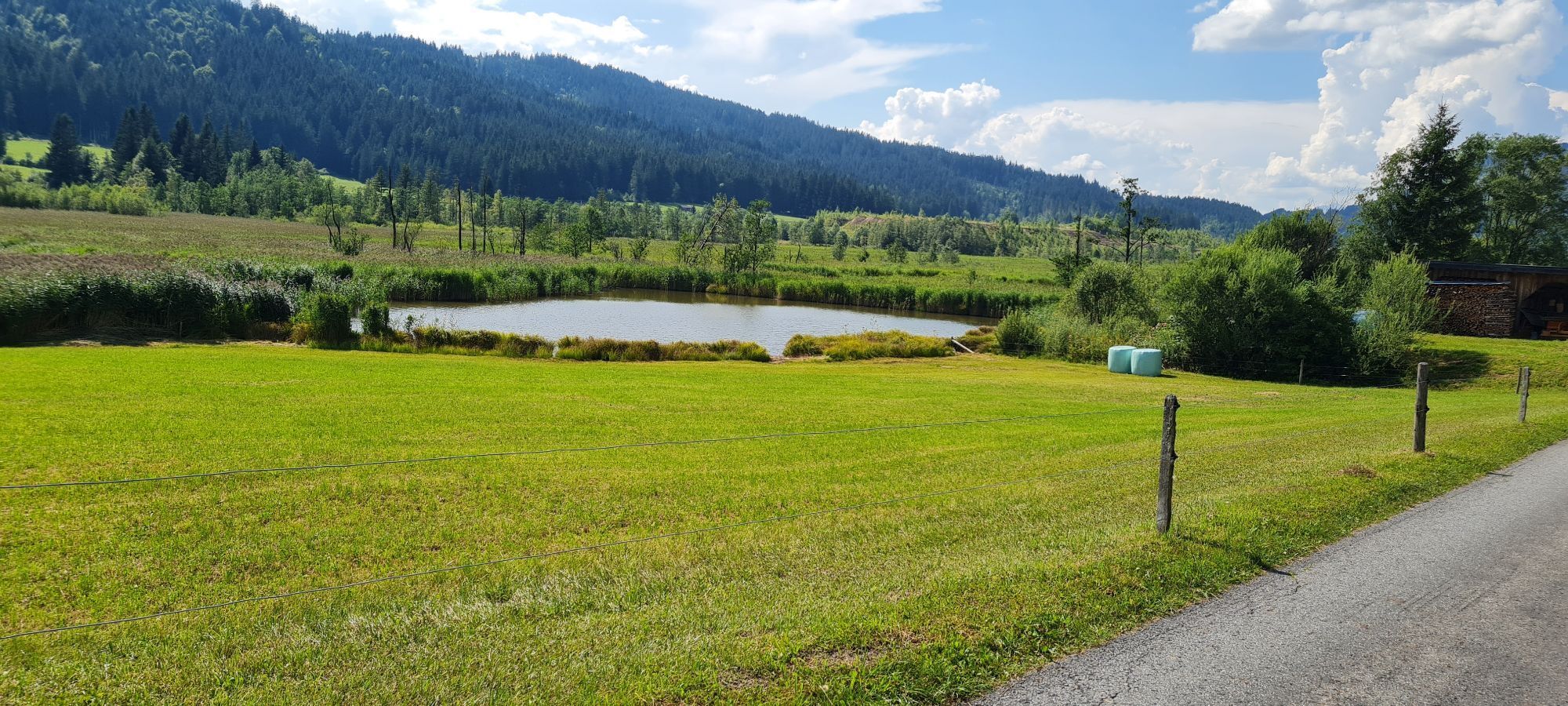
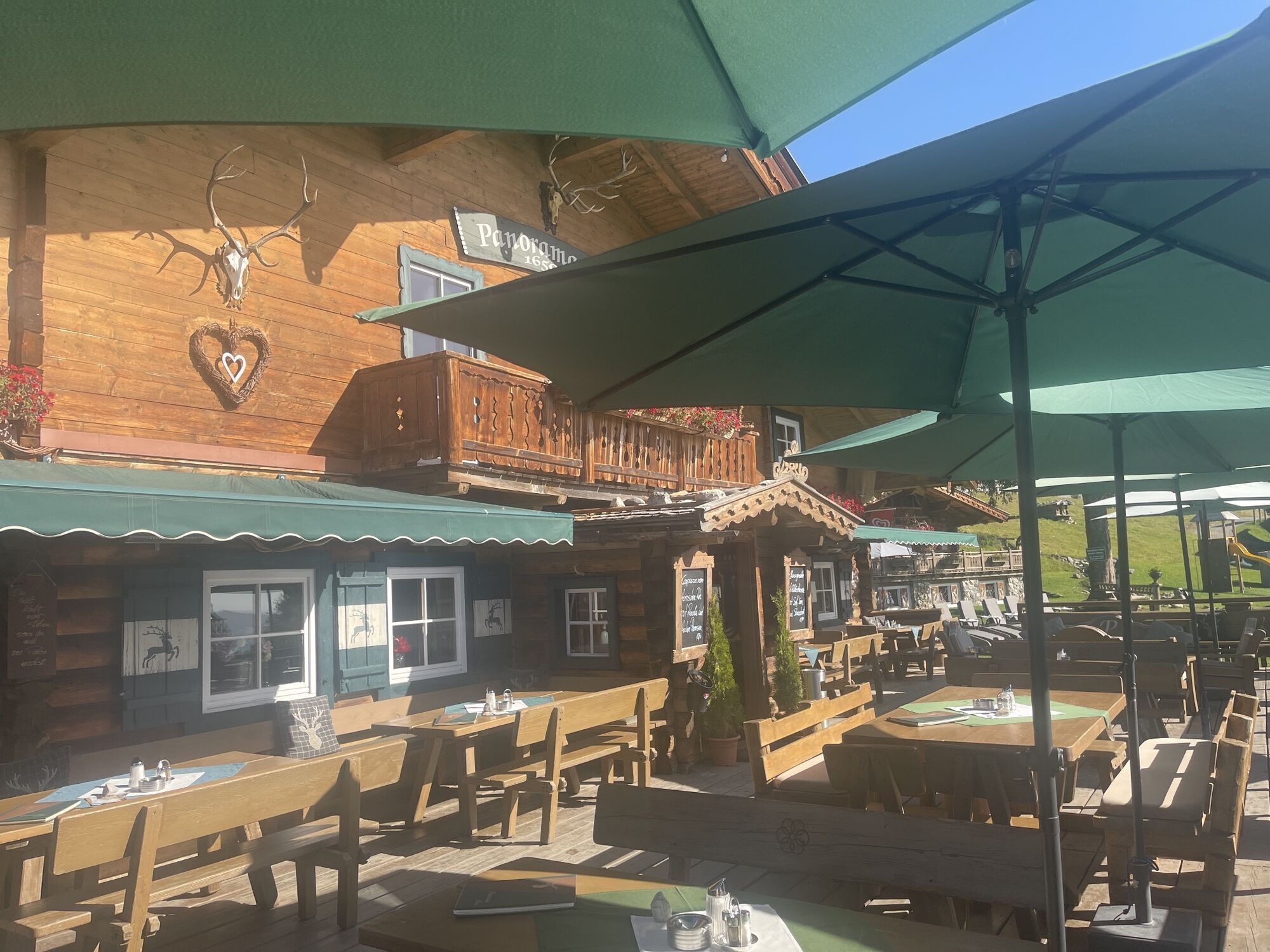
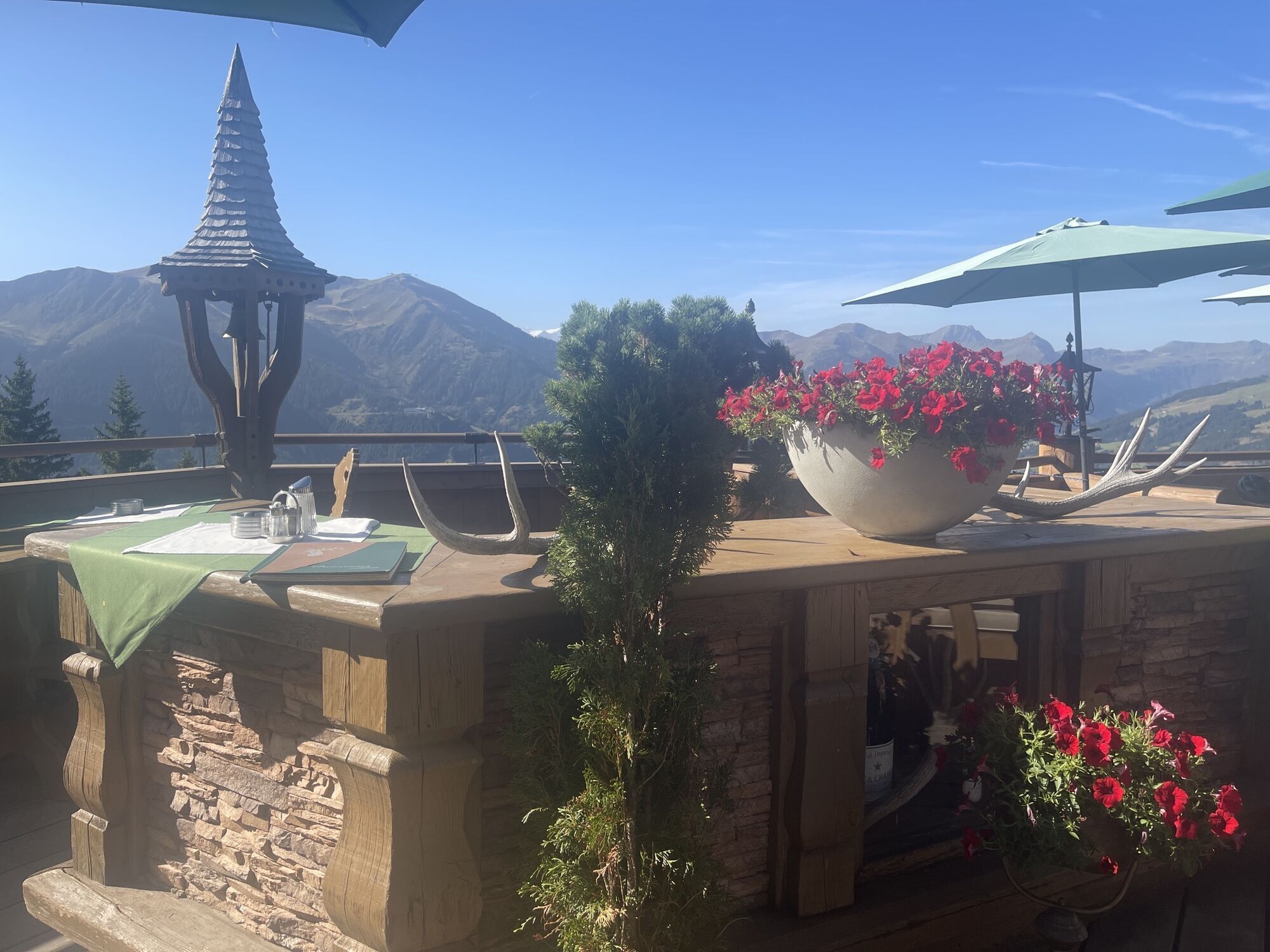
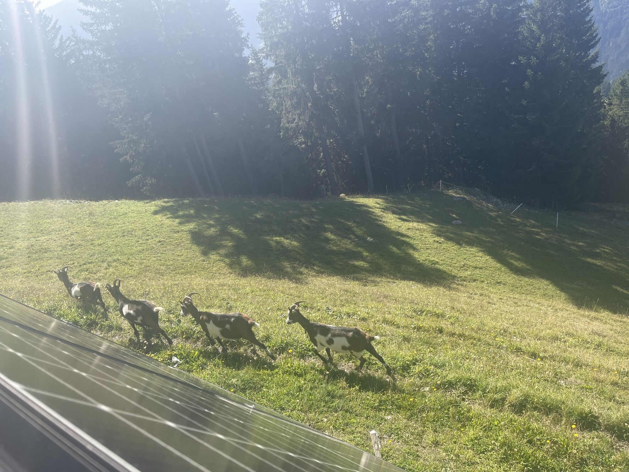
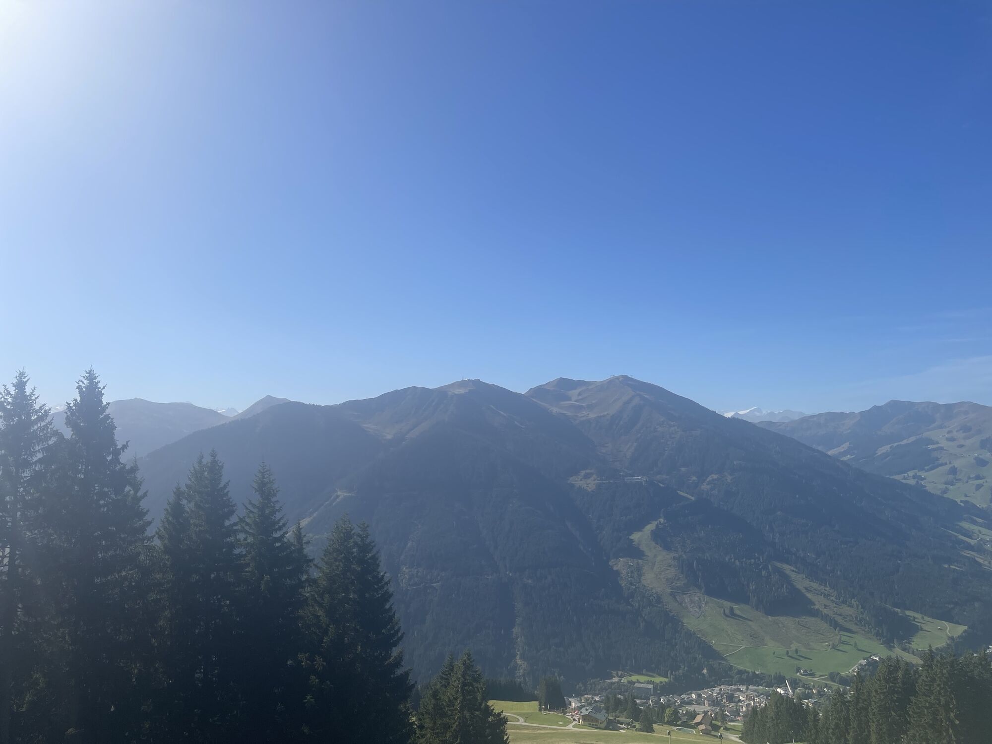
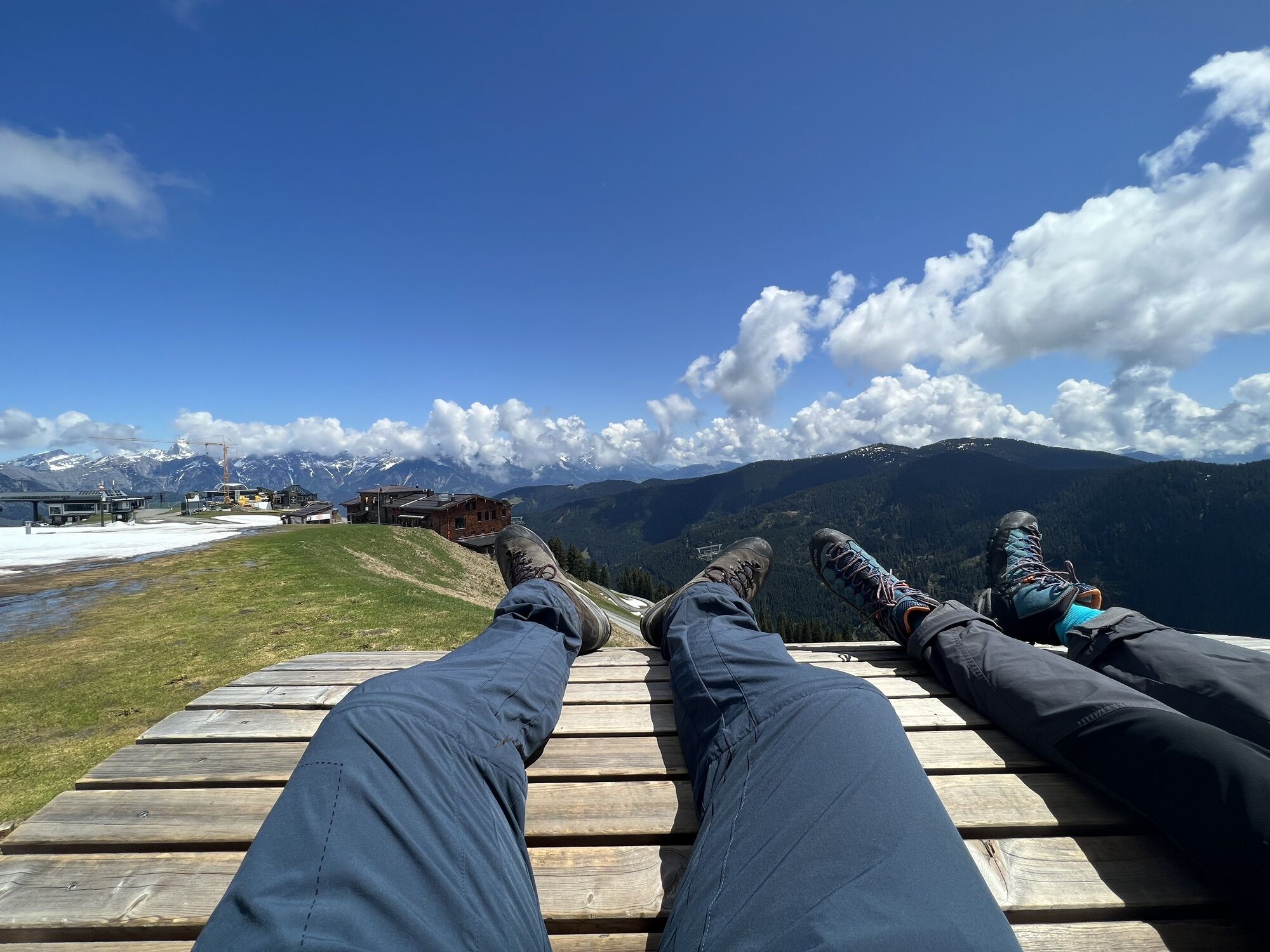
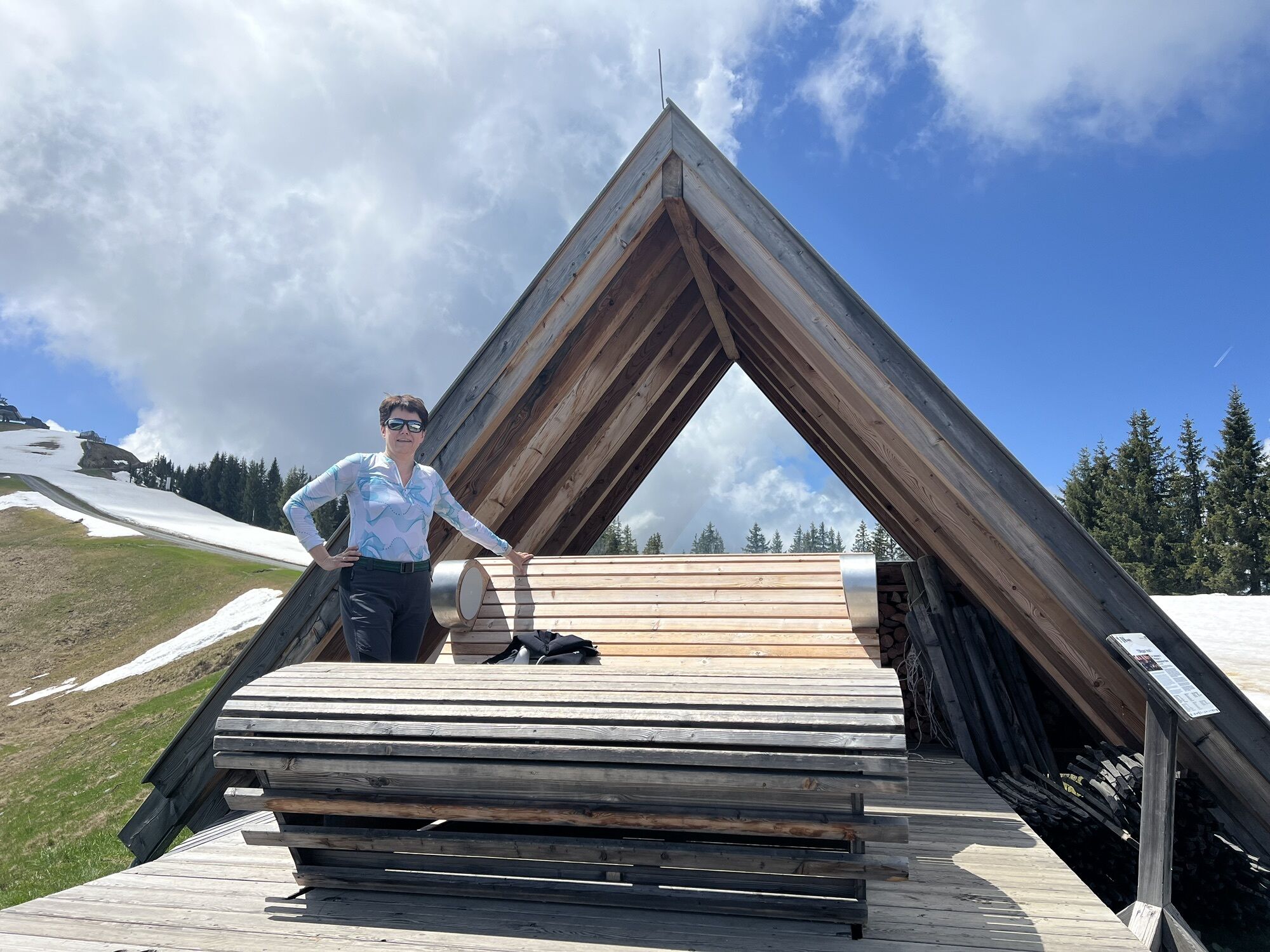
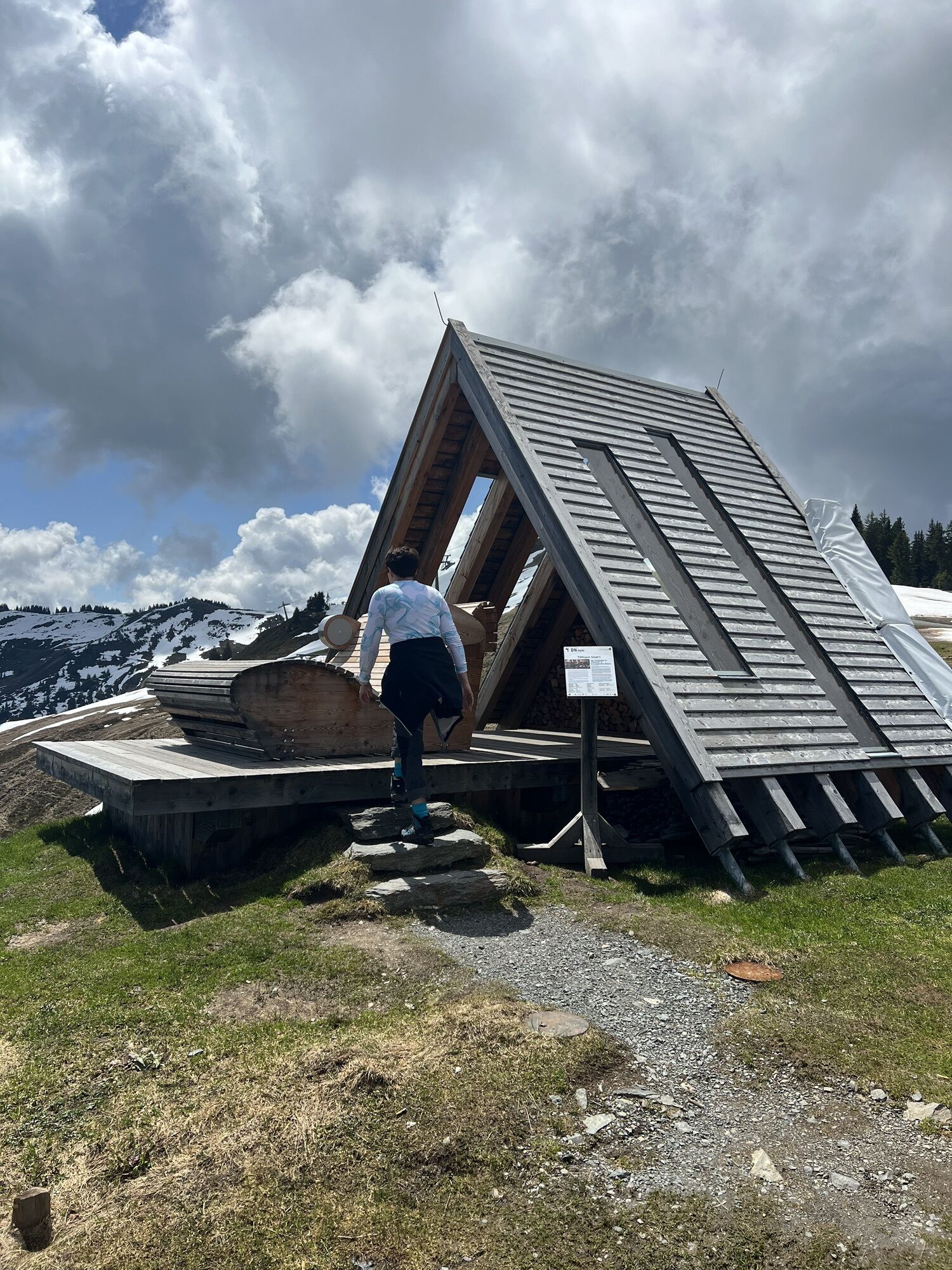
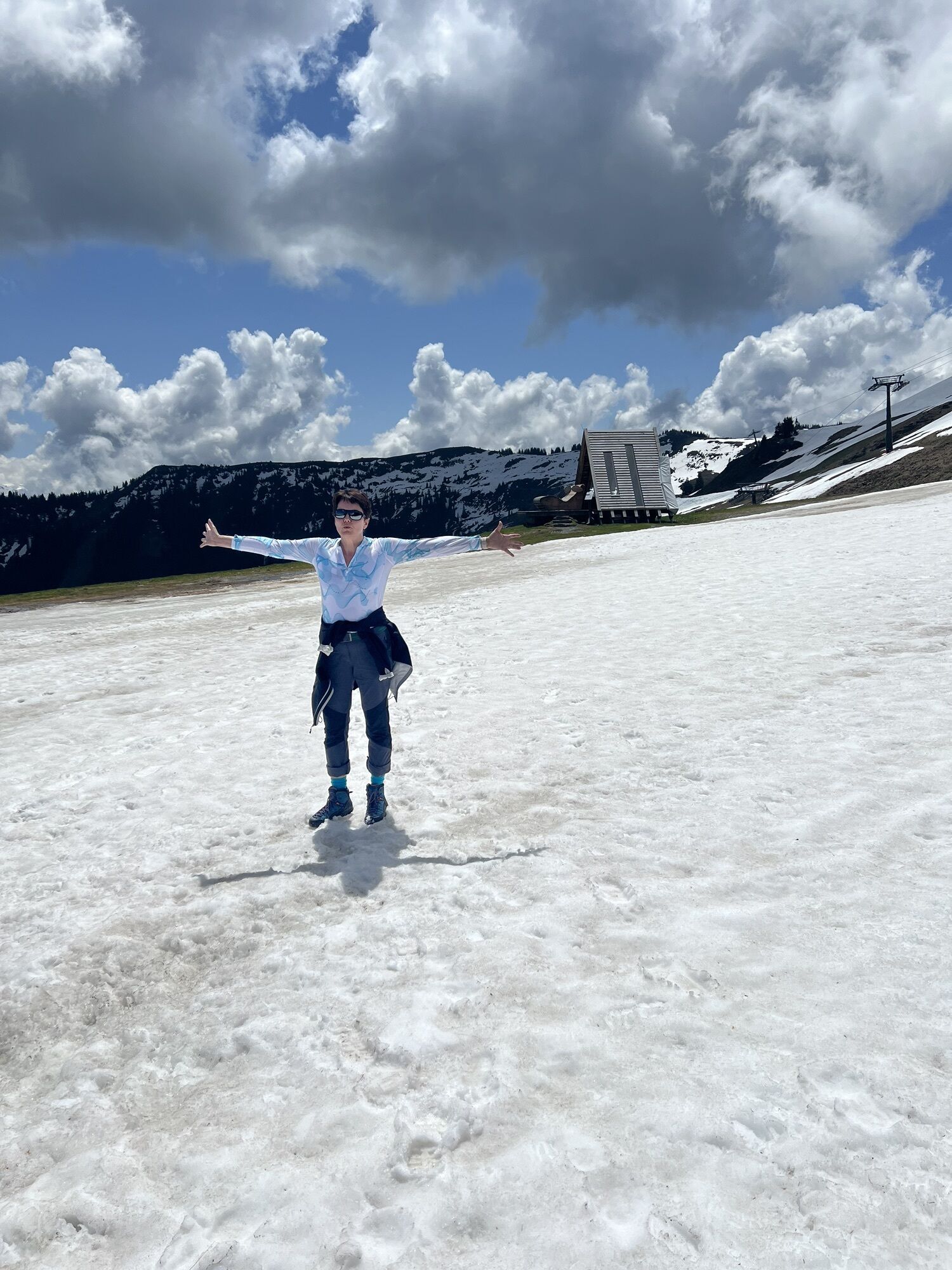
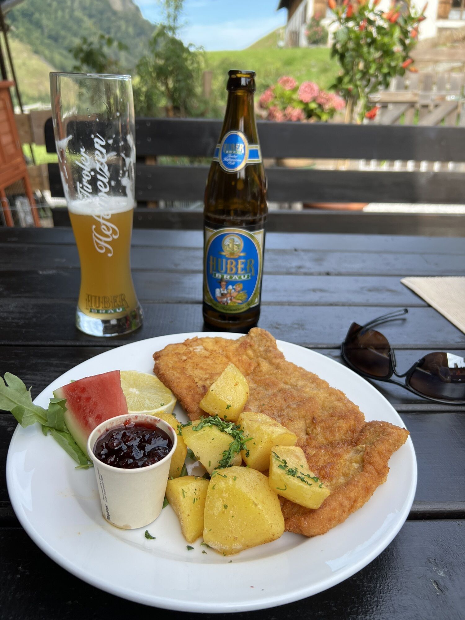
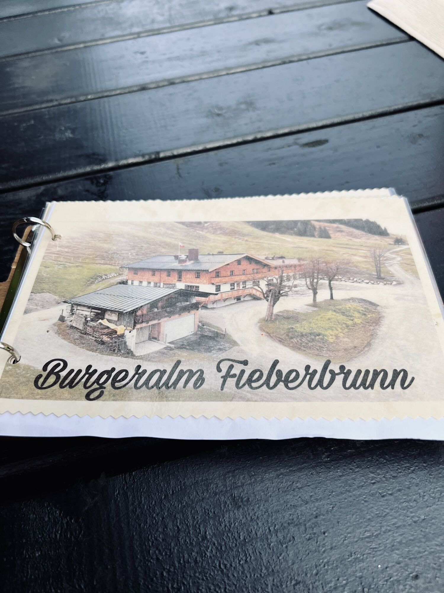
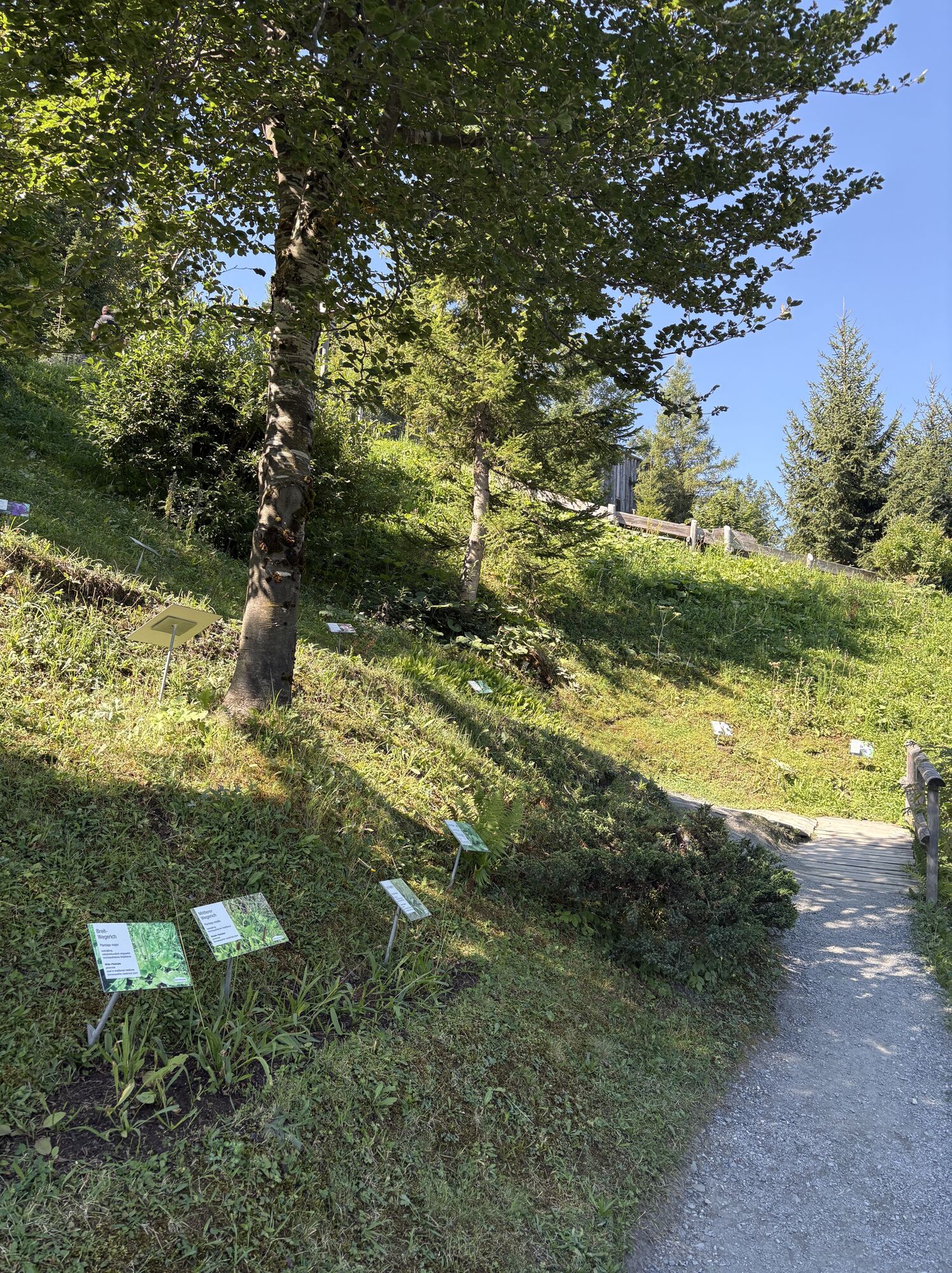
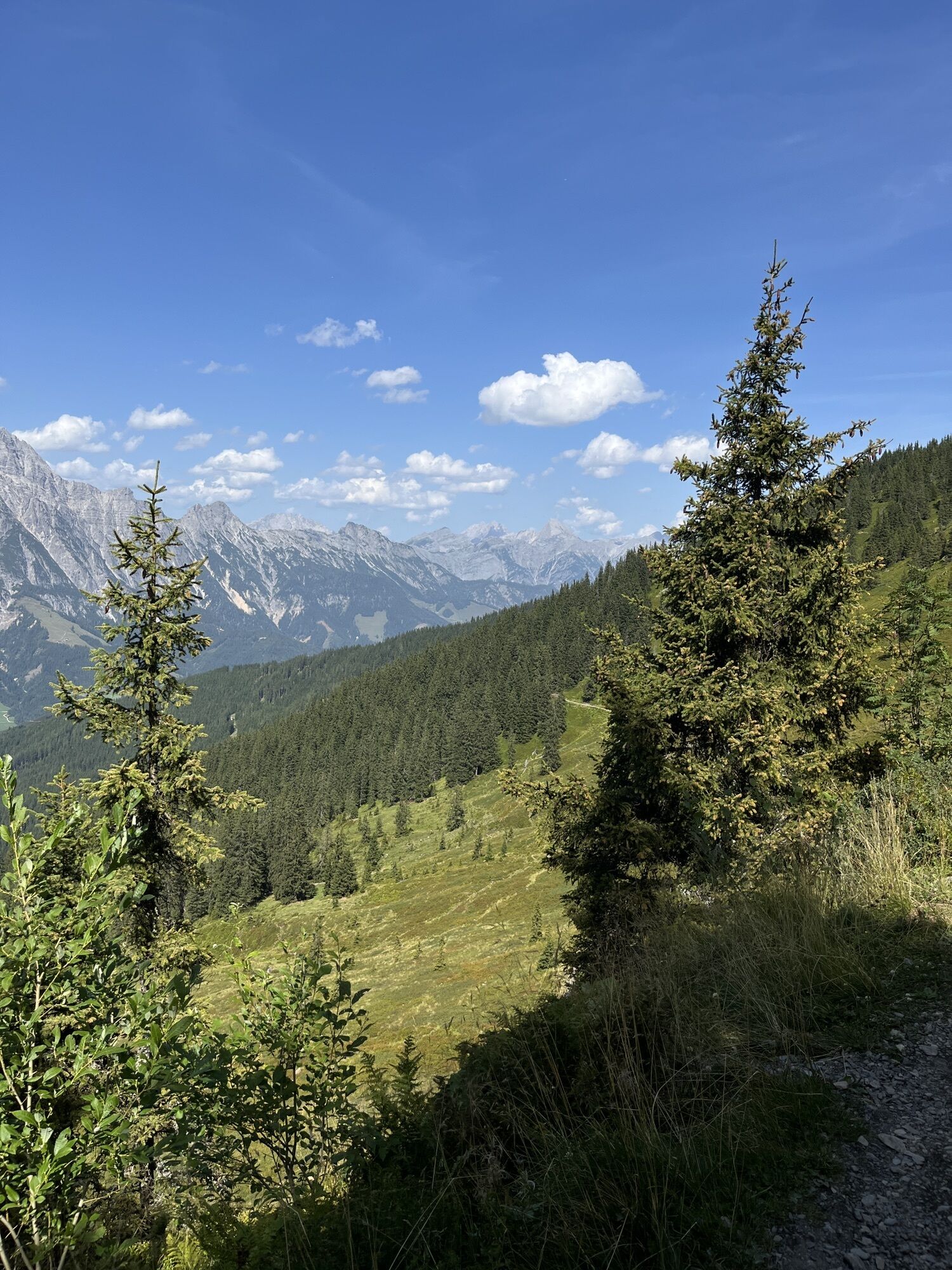
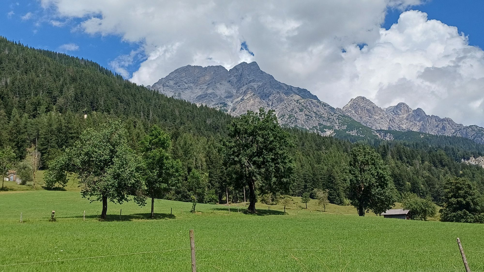
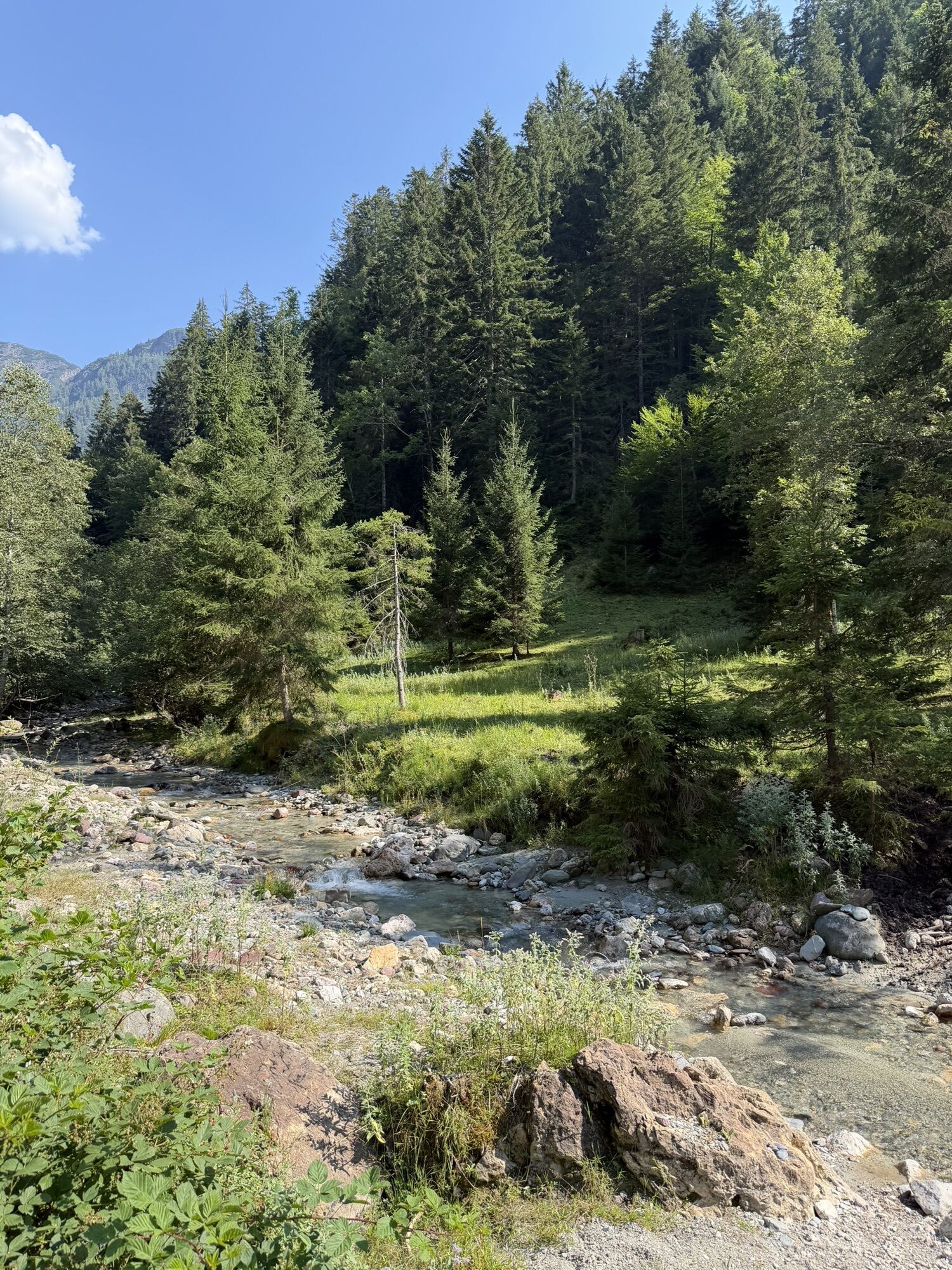
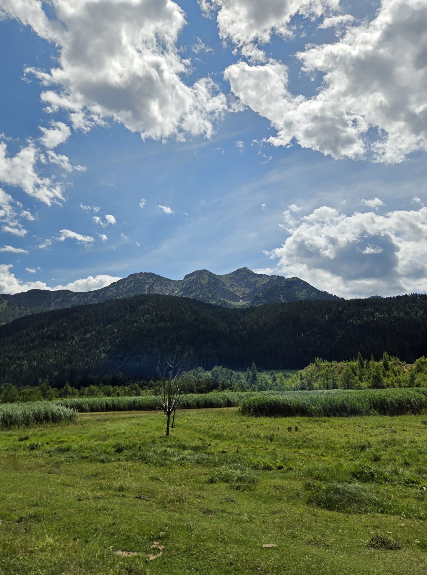

A route with two gondola rides, relaxed and easy trails, as well as picturesque forest roads. Of course, one must not forget the numerous places to stop for refreshments and also e-bike charging stations at the huts.



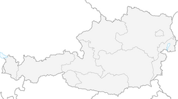
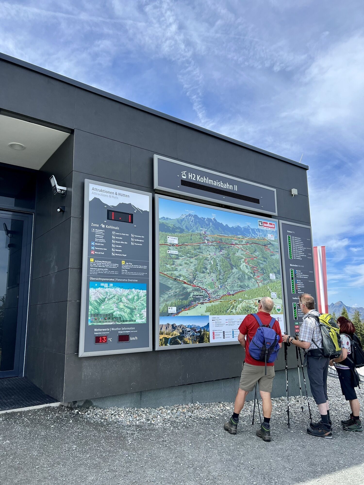
The start of this impressive route is in the center of Saalbach and begins with a leisurely gondola ride on the Kohlmaisbahn. Upon reaching the mountain station, the Panorama Trail awaits the e-bikers. After the Panorama Trail, this e-bike route continues towards Wirtsalm in Tyrol. Upon arriving in the valley, you pass the inn "Eiserne Hand" and continue towards the district of Pfaffenschwendt, where you join the gravel bike path to Hochfilzen. From Hochfilzen to Leogang, the route follows the picturesque bike path to the district of Hütten just before Leogang.
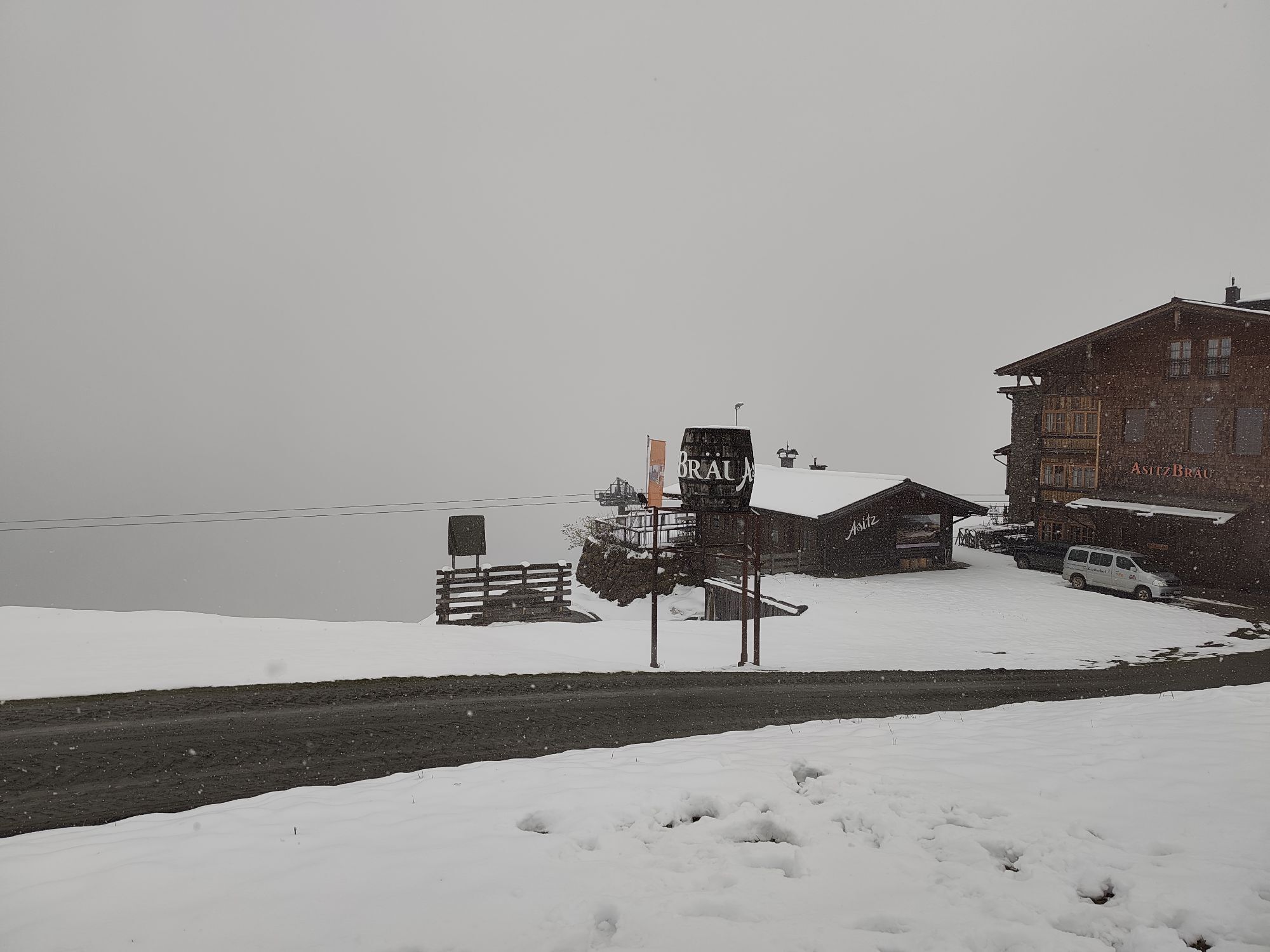
In Hütten, turn right into the Schwarz Leo Graben, where a beautiful forest road winds upward along the Ache river. Upon reaching about 1400 meters in elevation, you cycle at a constant altitude level to the middle station of the Asitzbahn. Ideally, take the gondola now for the remaining elevation meters before returning to Saalbach via the Schönleitenweg. In Schönleiten, the route descends a few hundred meters towards Thurneralm and back to Kohlmais. Via Bergeralm and Ederalm, you cycle to the middle station of the Kohlmaisbahn and thus also to the Milka Line for the last kilometers back to the center of Saalbach. Of course, you could also choose one of the numerous forest roads back to Saalbach as an alternative to the Milka Line.
Áno
1
Webové kamery z prehliadky
-
Asitz Gipfel
-
Hochfilzen - Ferienwohnungen Schreder
-
St. Jakob im Pillerseetal
-
Fieberbrunn - Buchensteinwand in Tirol
-
Leogang
-
Großer Asitz / Gipfelkreuz
-
Saalbach-Hinterglemm - Schattberg Ost
-
Saalbach-Hinterglemm - Wildenkarkogel
-
Fieberbrunn - Lärchfilzkogel
-
Talstation Asitzbahn
-
Leogang - Grosser Asitz
-
Fieberbrunn - Bikepark, Streuböden Talstation (836m)
-
Fieberbrunn - Streuböden Bergstation
-
Pillersee - Jakobskreuz
-
Talstation Pillersee
-
Wohlfühlhotel-Johanneshof
-
Fairhotel Hochfilzen
-
Eberharthof - Saalbach-Hinterglemm

Obľúbené výlety v okolí
-
4,6
Seisenberg Gorge
svetloTuristika 2,41 km -
4,6
Peter-Wiechenthaler Hut
strednáTuristika 8,63 km -
4,6
Steinalm
svetloTuristika 5,43 km -
4,3
Maurerkogel (Top)
Turistika 10,5 km -
4,8
Loferer Steinberge, zum Hinterhorn über die Schmid-Zabierow Hütte, 19.06.22
ťažkéTuristika 14,0 km -
4,3
Persailhorn South via ferrata
strednáVia ferrata 6,83 km -
4,6
Lettlkaser
strednáTuristika 8,80 km -
4,6
MTB route Ramseiden round (route 1)
strednáMountainbike 18,9 km -
4,7
Panorama route 3 peaks and 2 lakes
strednáTuristika 7,21 km -
5,0
Leo’s play hiking trail
svetloTematická trasa 4,89 km
Turistika a stopovanie


Nenechajte si ujsť ponuky a inšpiráciu na ďalšiu dovolenku
Vaša e-mailová adresa bol pridaný do poštového zoznamu.


