







E-bike route to the Saalachtaler Natural Wonders
Úroveň náročnosti: 2

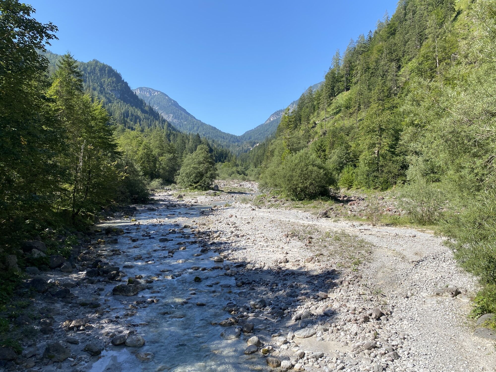
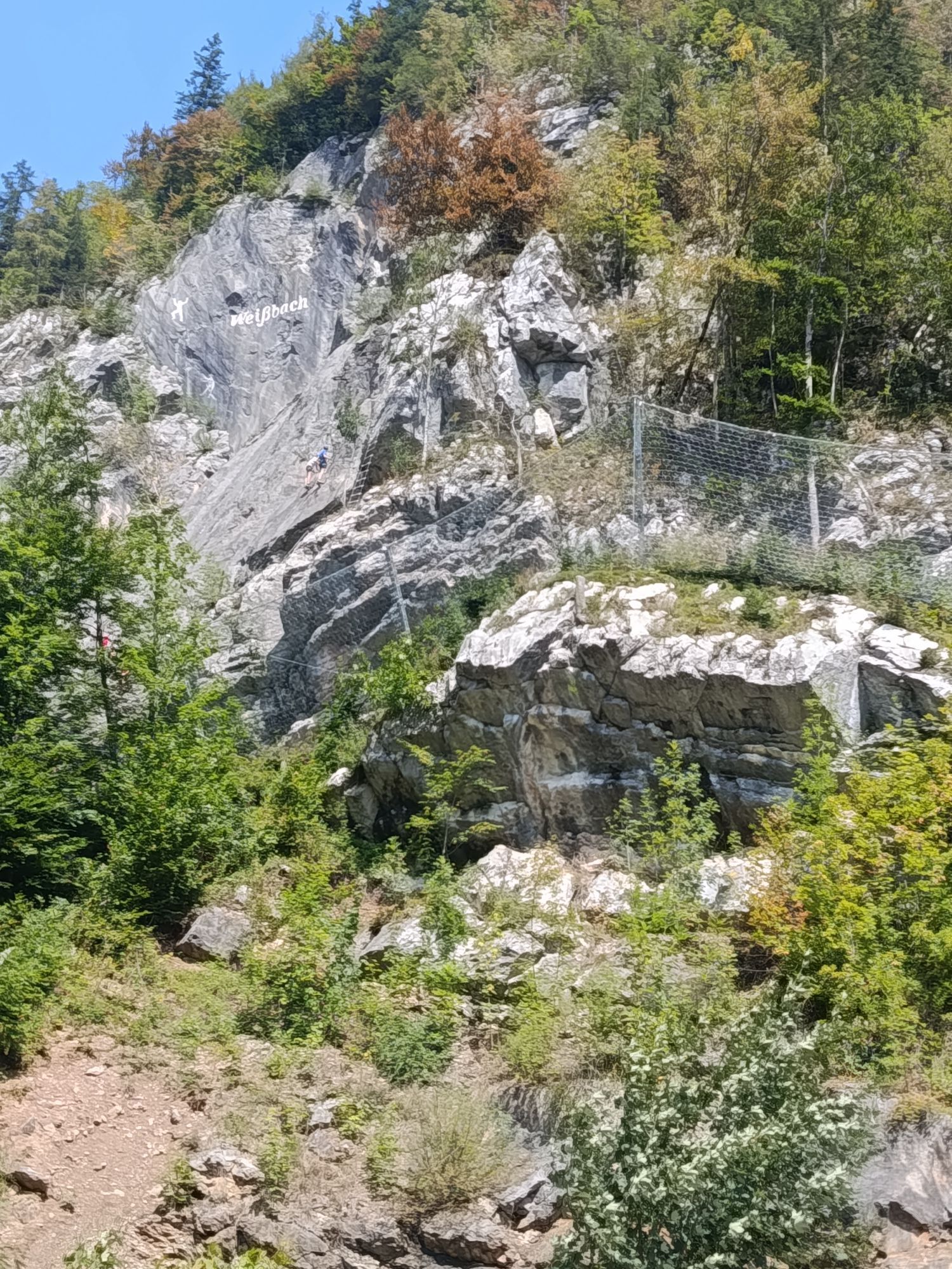
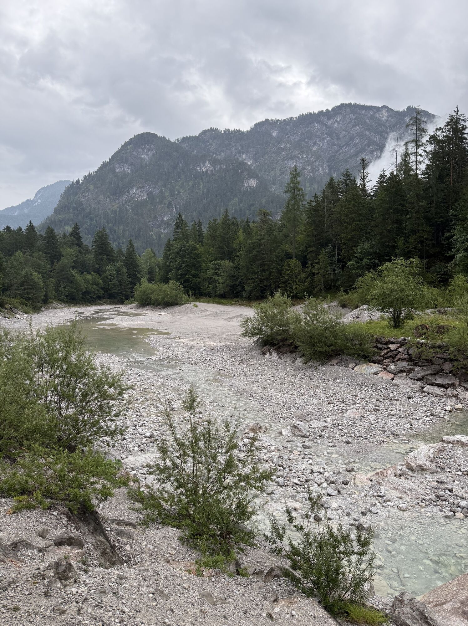
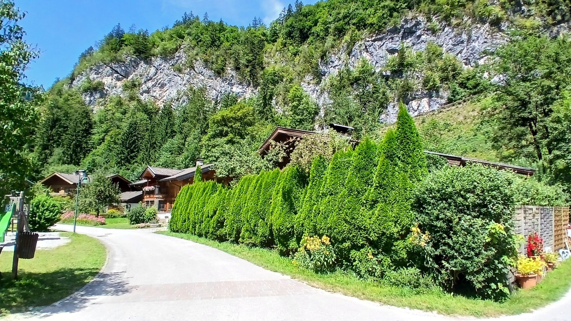
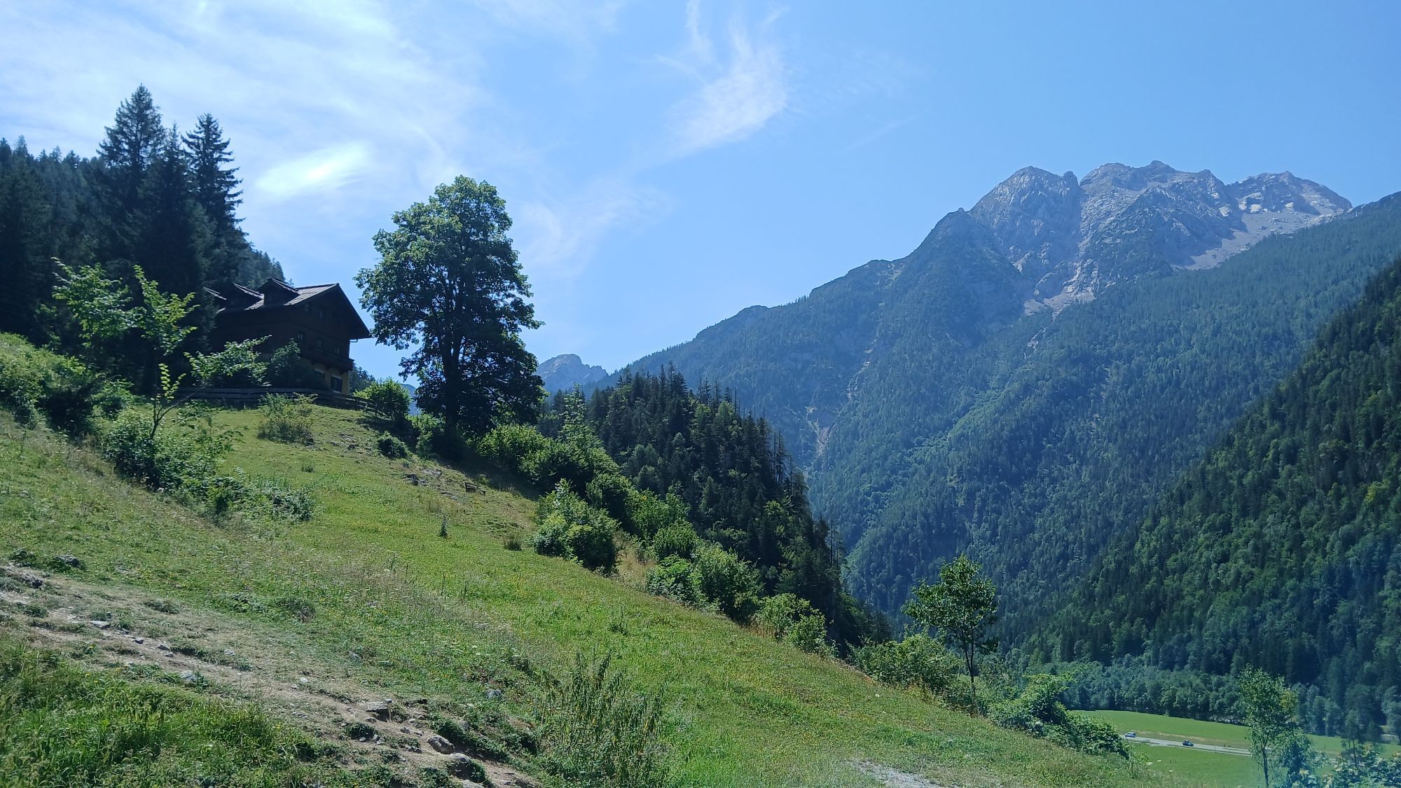
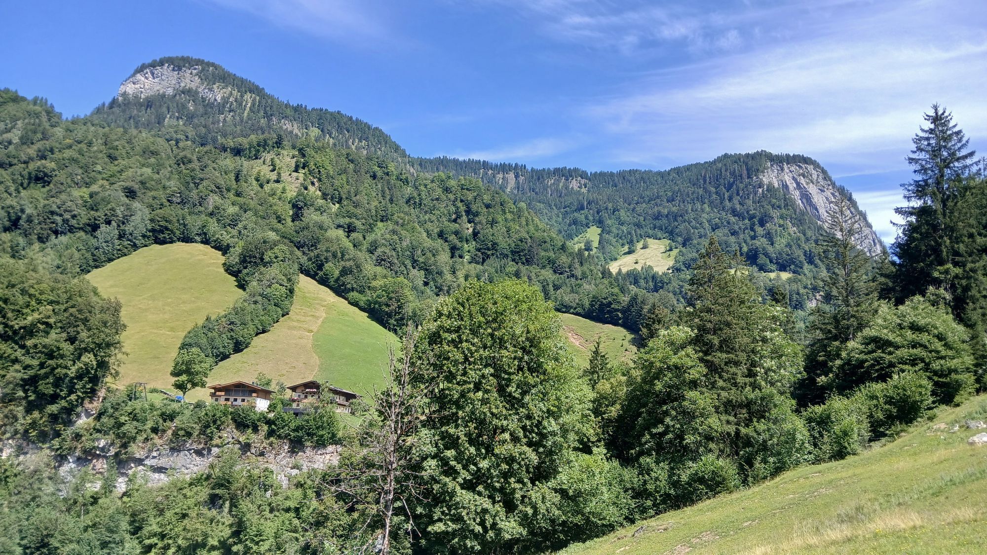
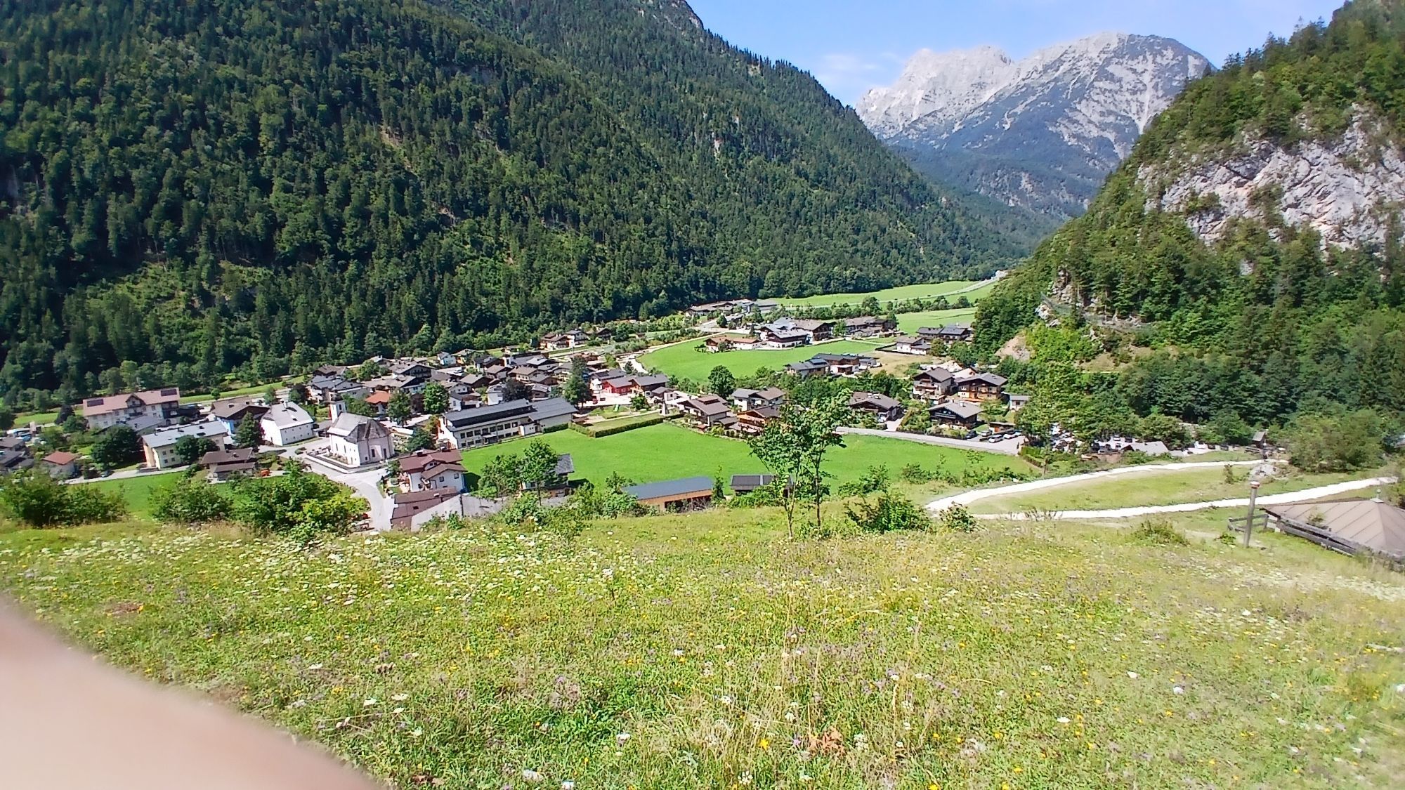
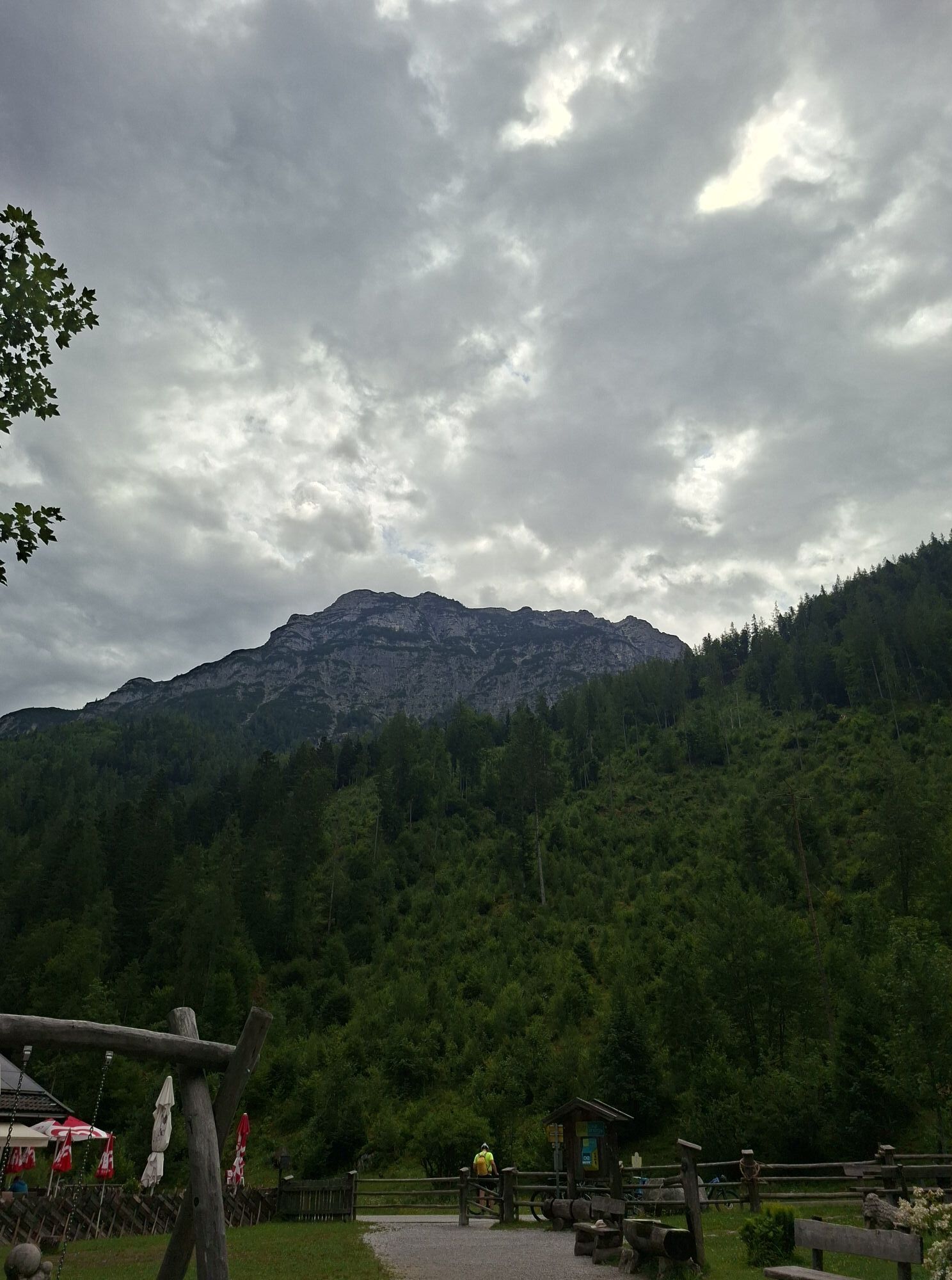
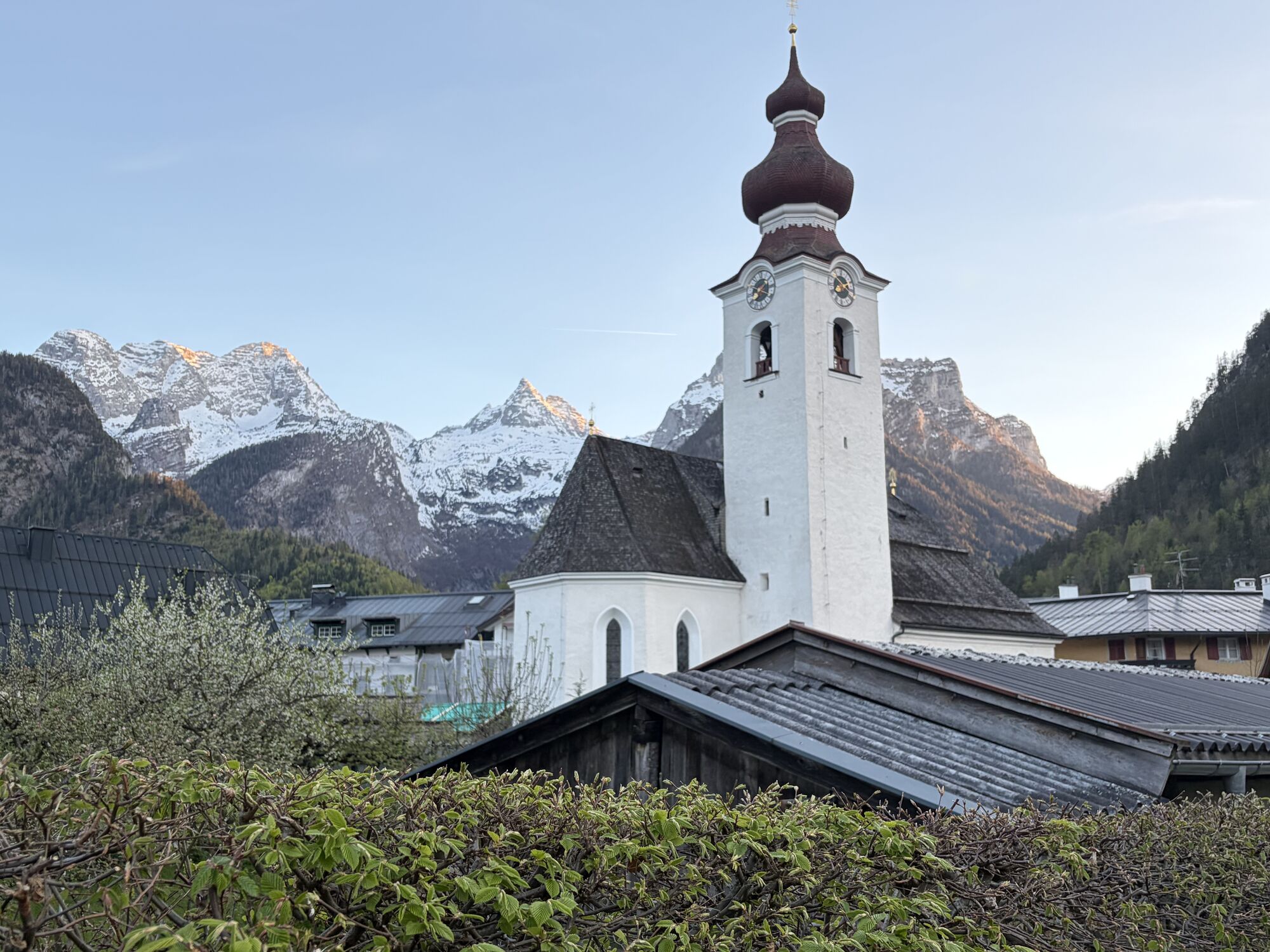
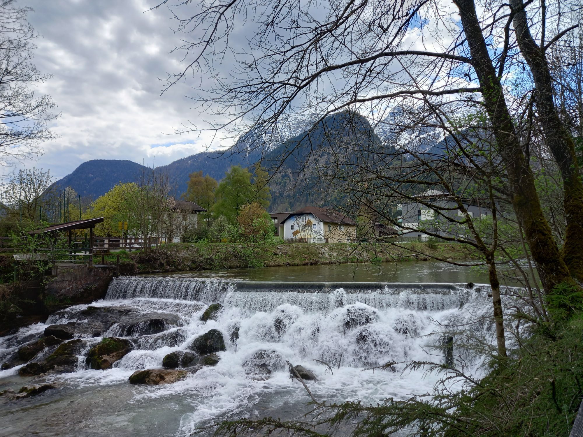
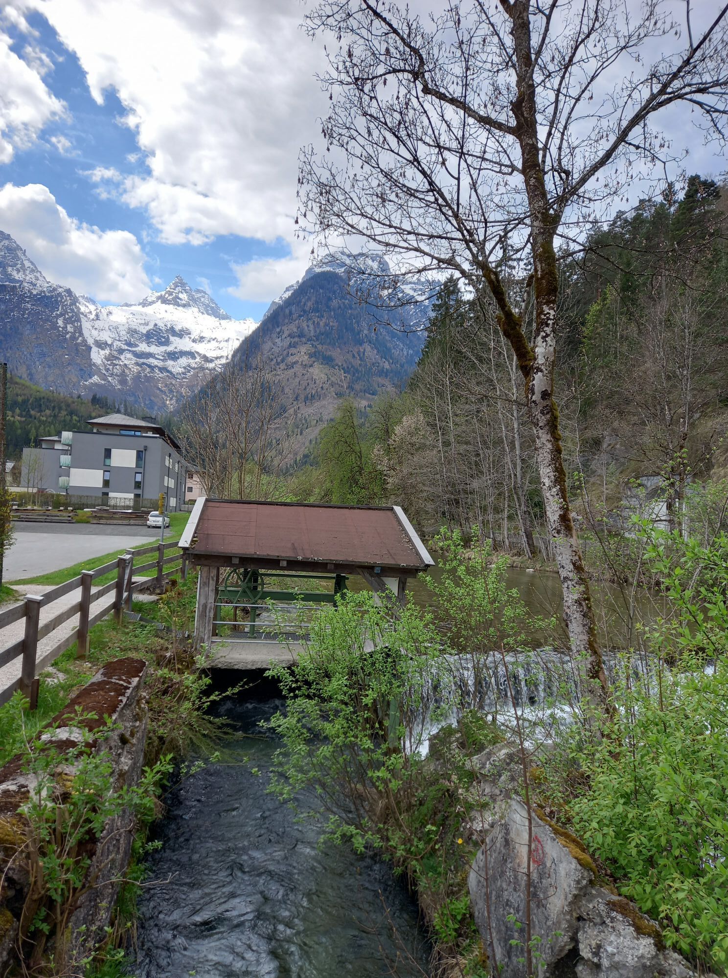
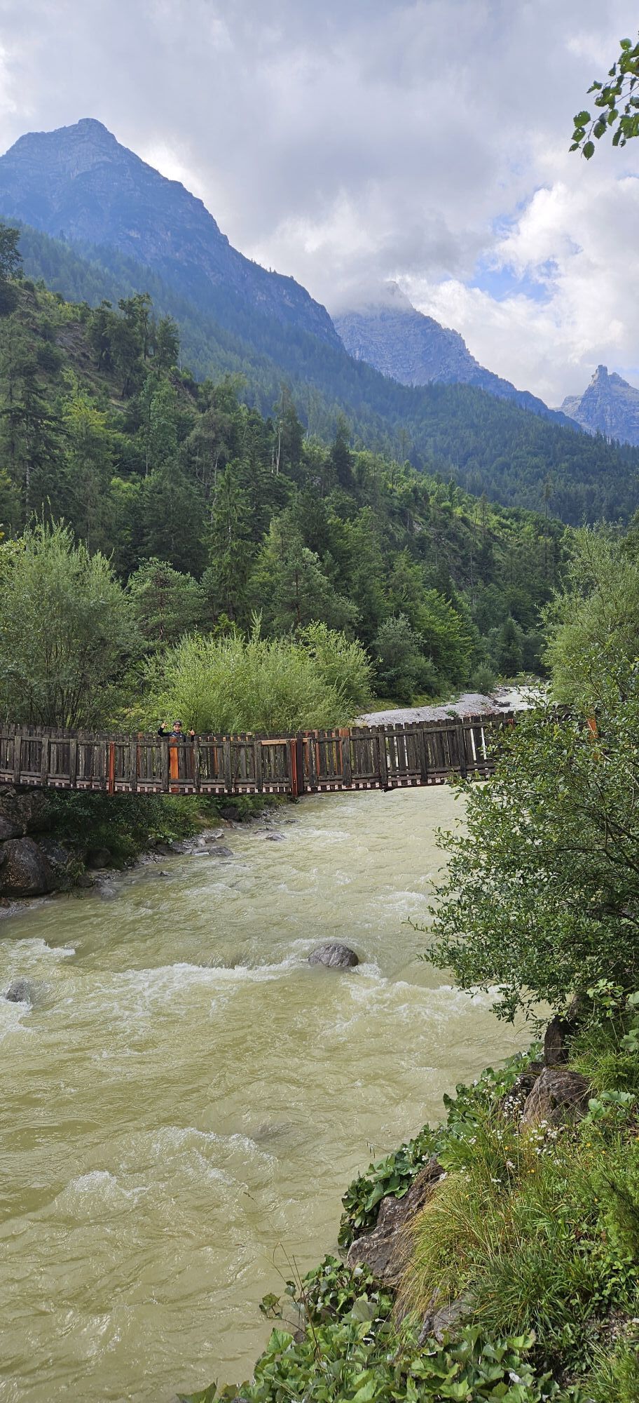
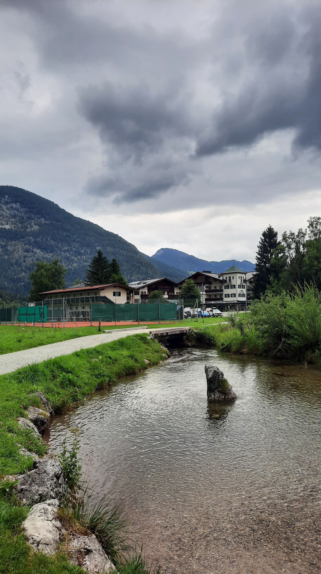
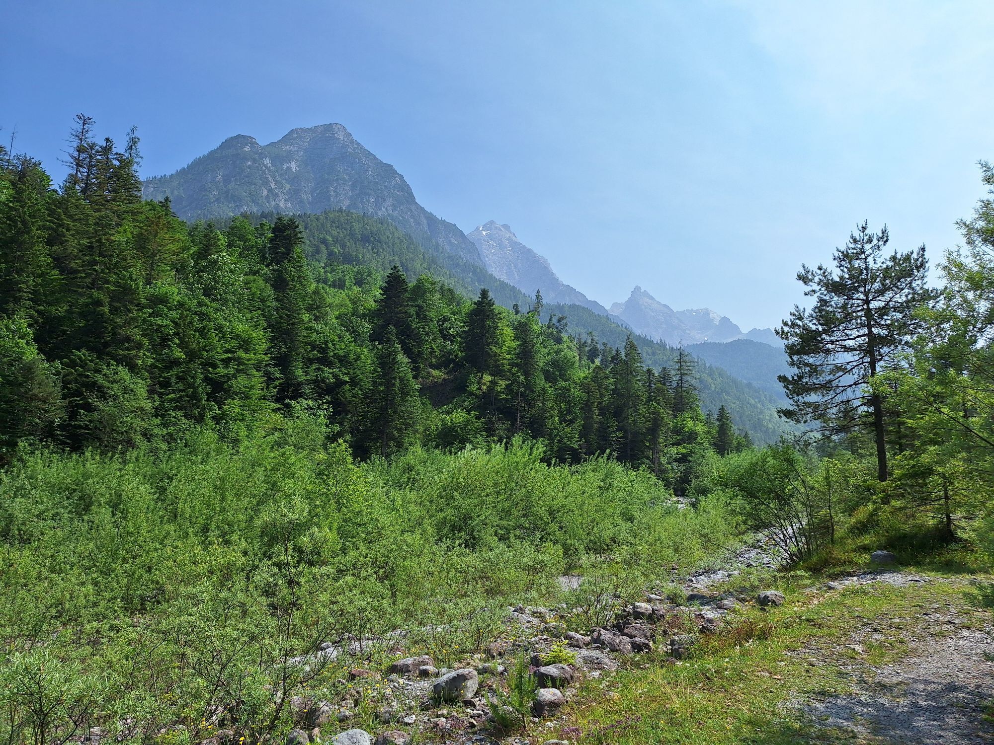
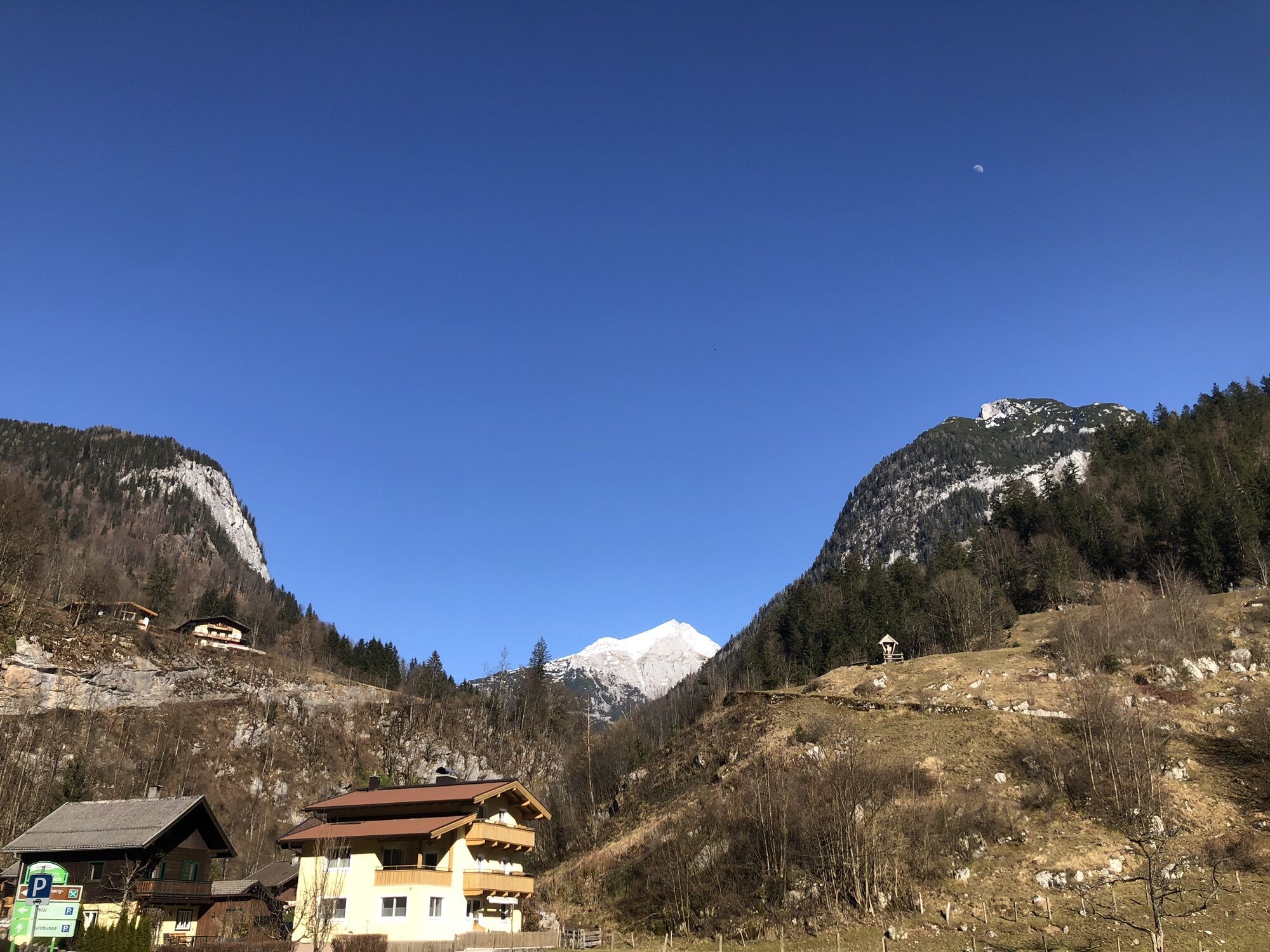
From Lofer the route follows the Tauern Cycle Path without many altitude meters to the Saalachtaler Natural Wonders. At the foot of the two mountain ranges of the Loferer and the Leoganger Steinberge and...
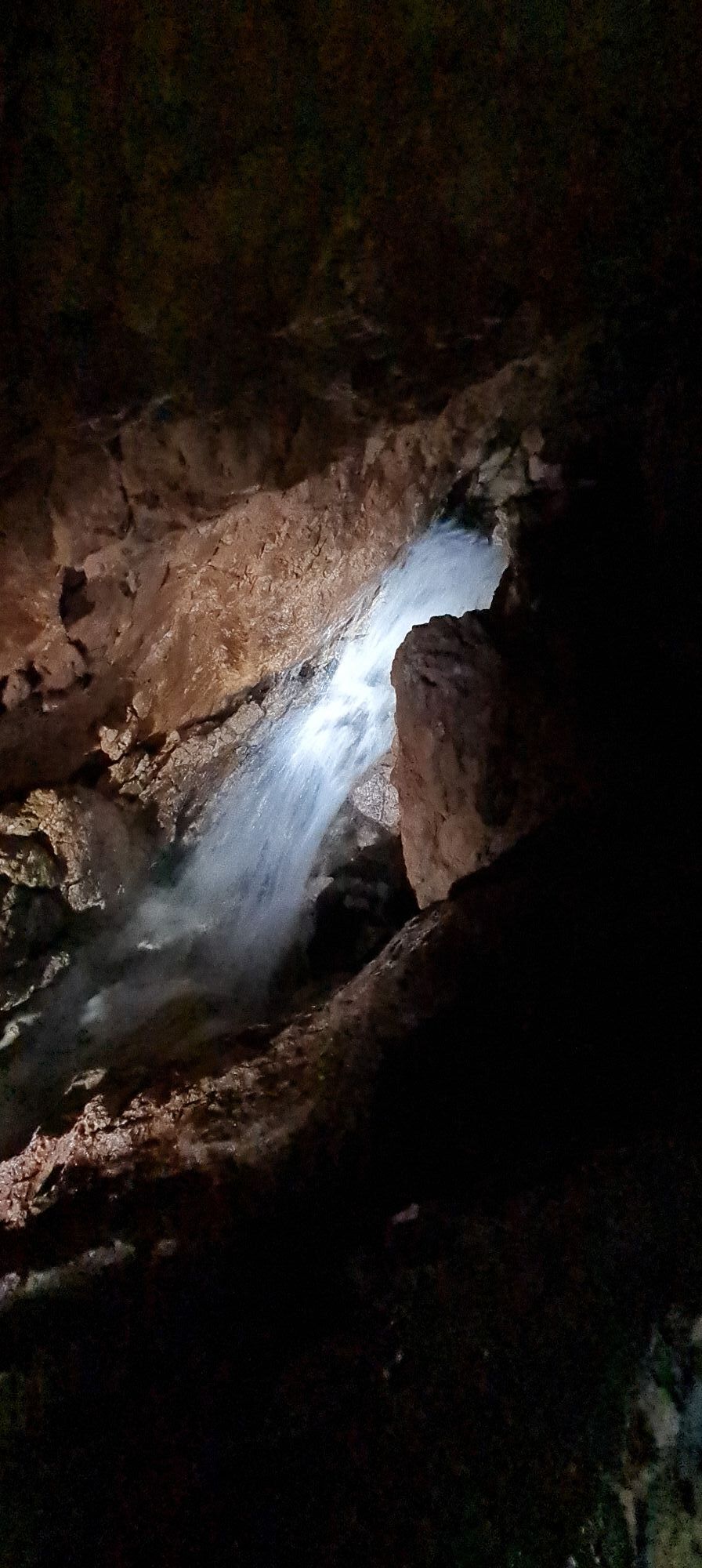
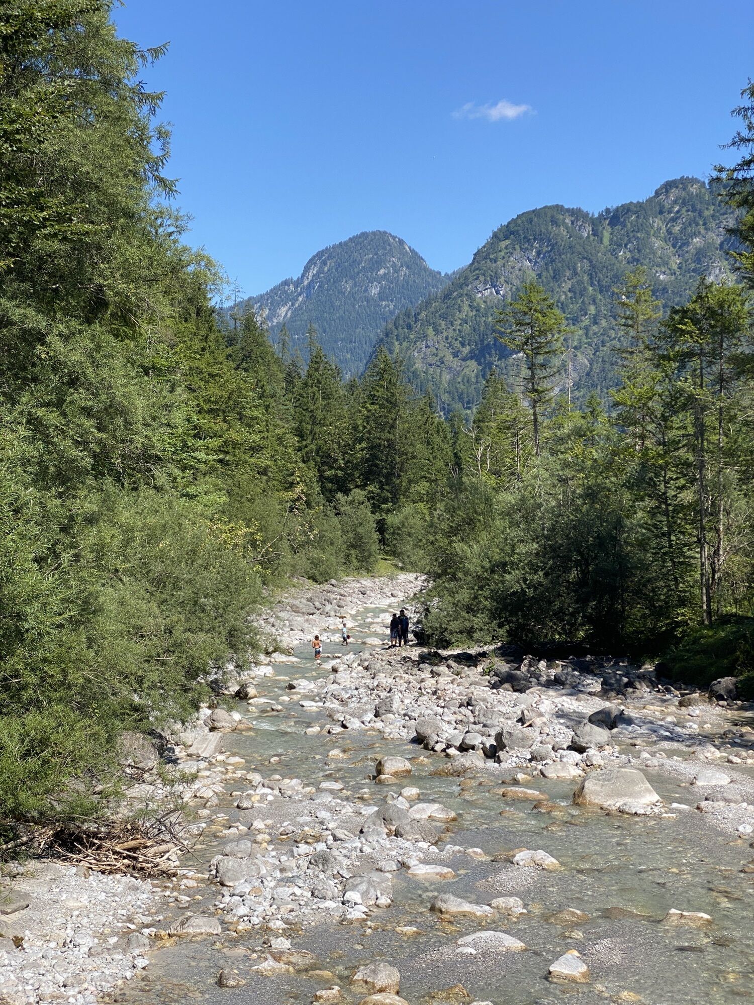
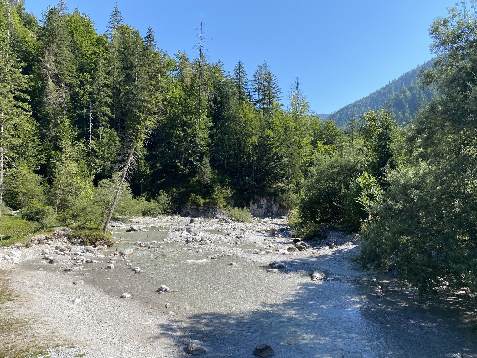
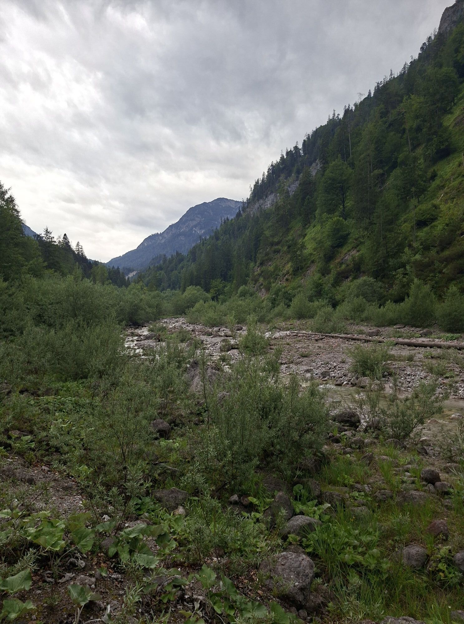
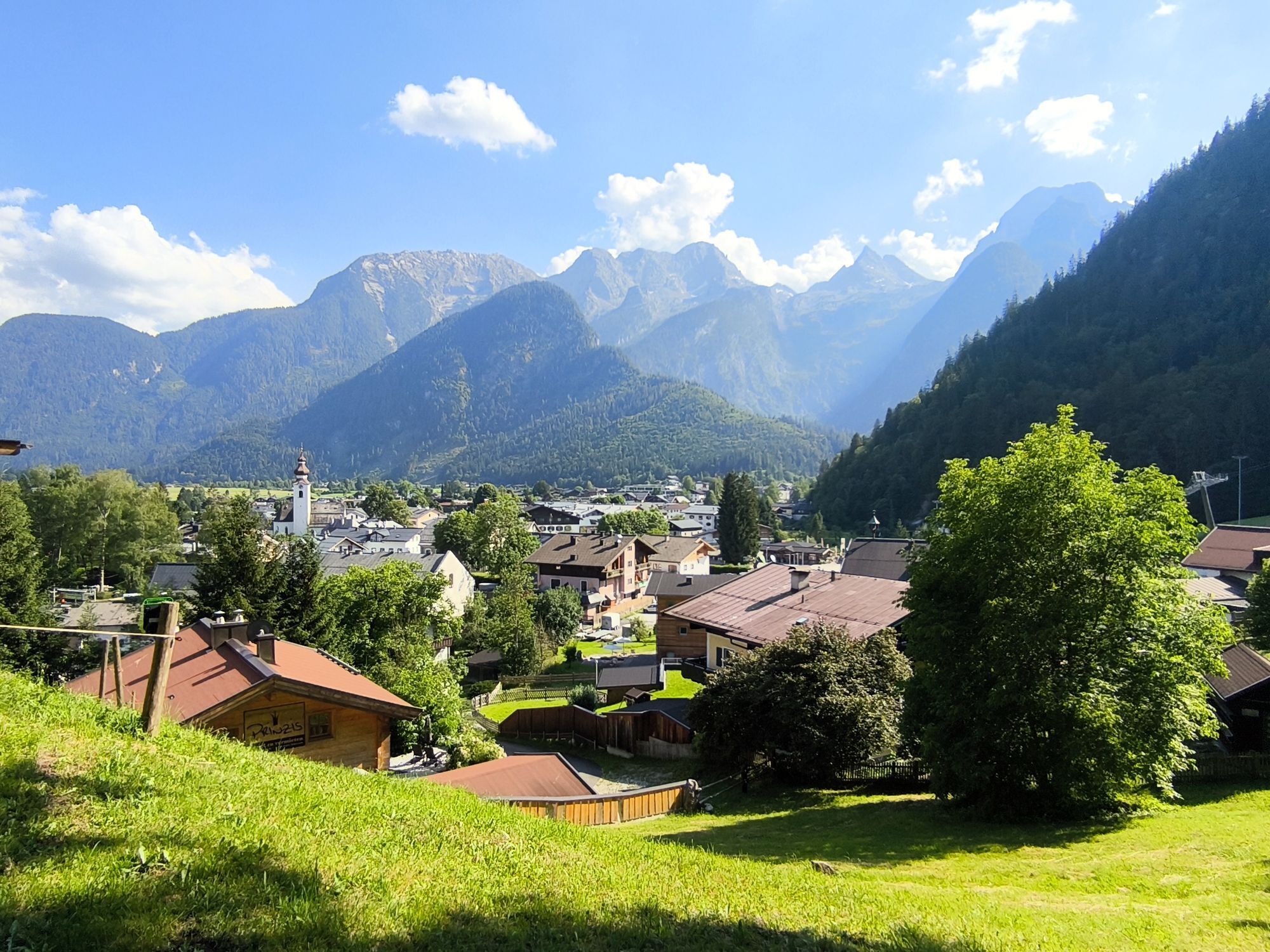
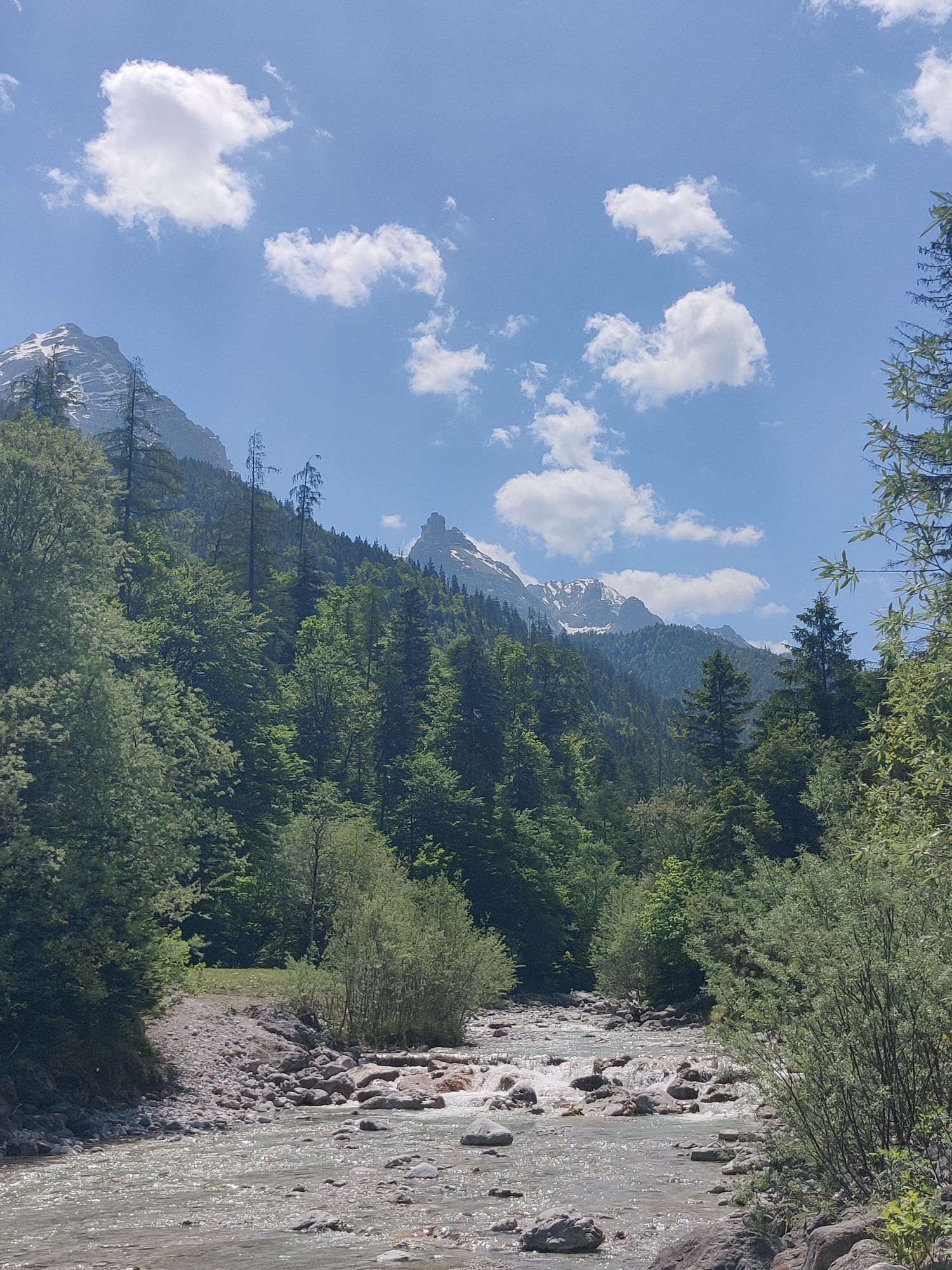
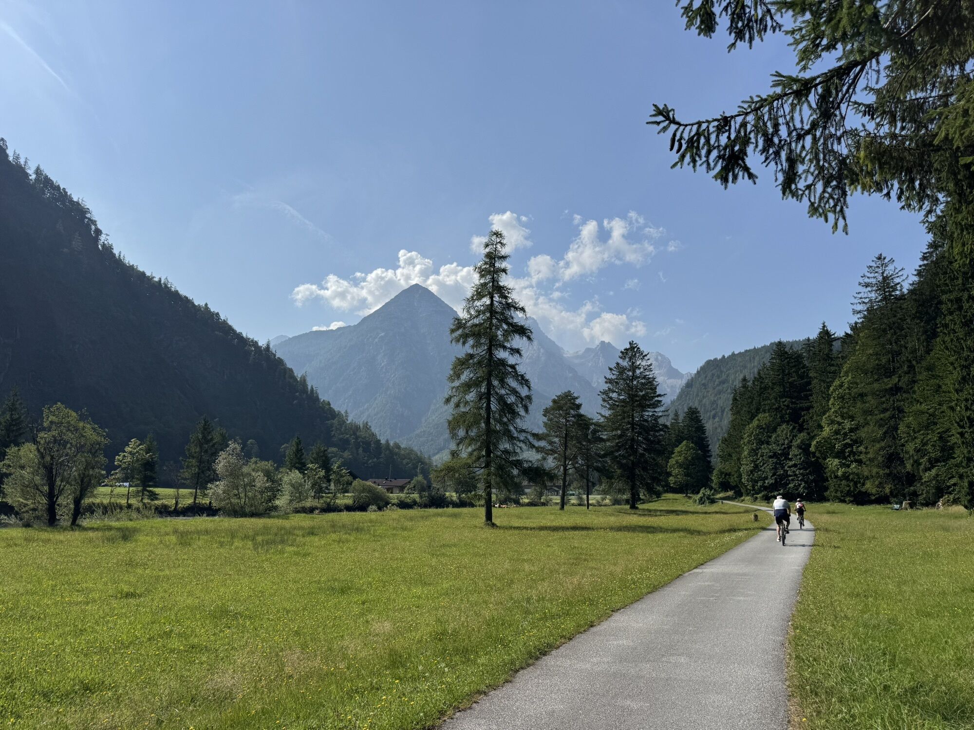
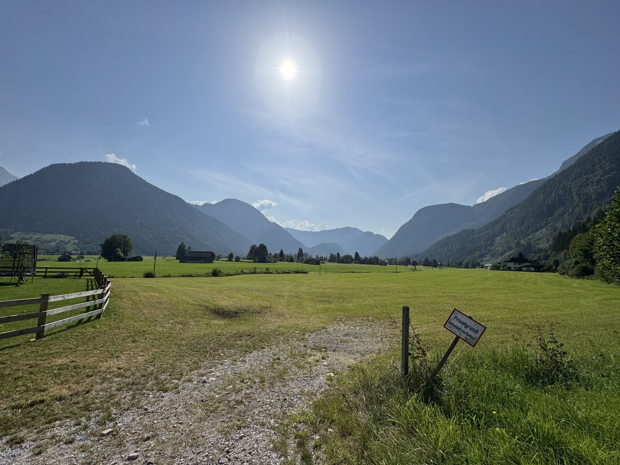
From Lofer the route follows the Tauern Cycle Path without many altitude meters to the Saalachtaler Natural Wonders. At the foot of the two mountain ranges of the Loferer and the Leoganger Steinberge and the foothills of the Stone Sea, nature has created bizarrely shaped rocks, raging waterfalls and one of the largest cave systems in Europe in a very small area: the Vorderkaser Gorge, the Lamprecht Cave and the Seisenberg Gorge. The visit to the individual natural monuments lasts about 1 hour each.

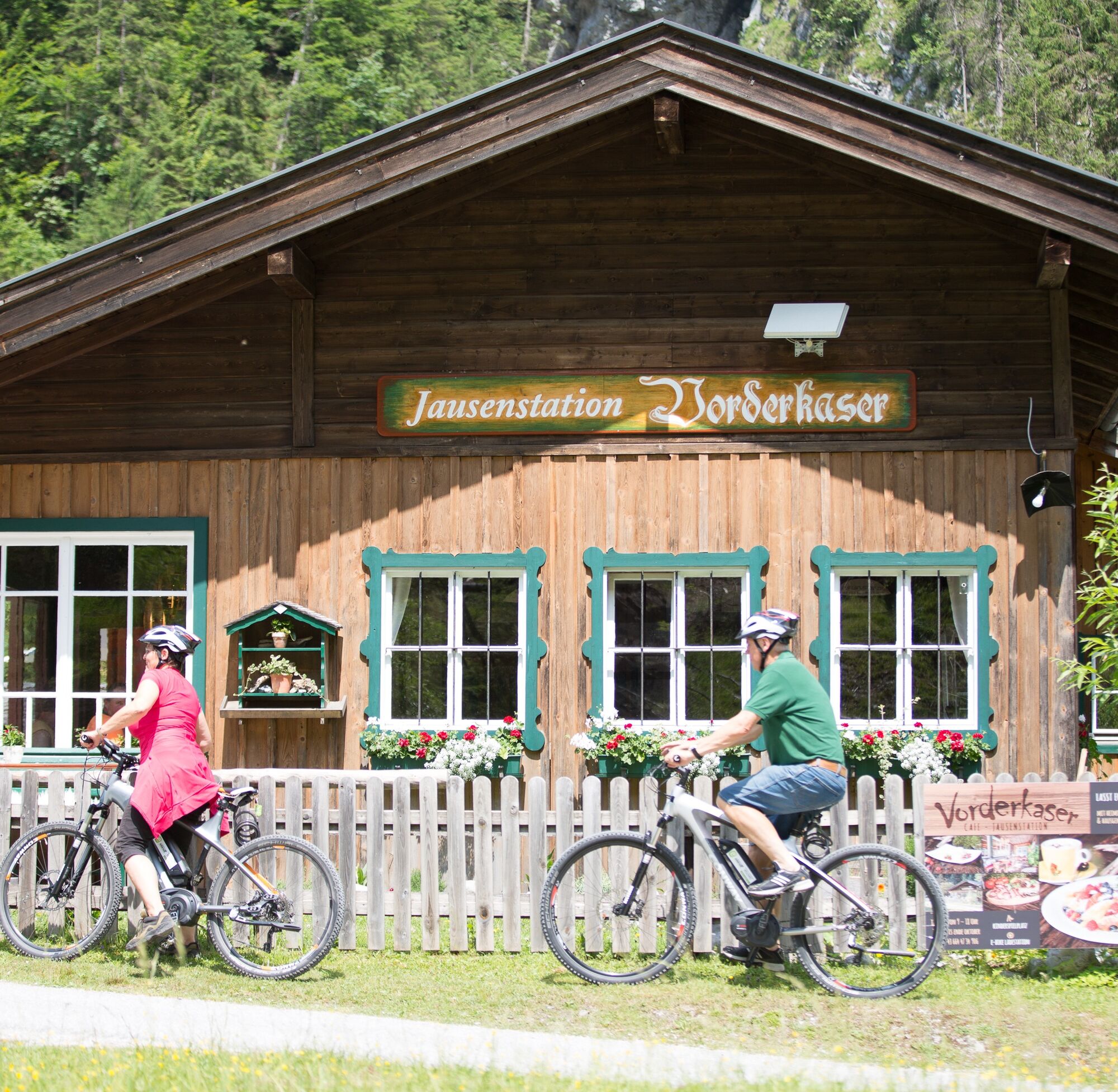
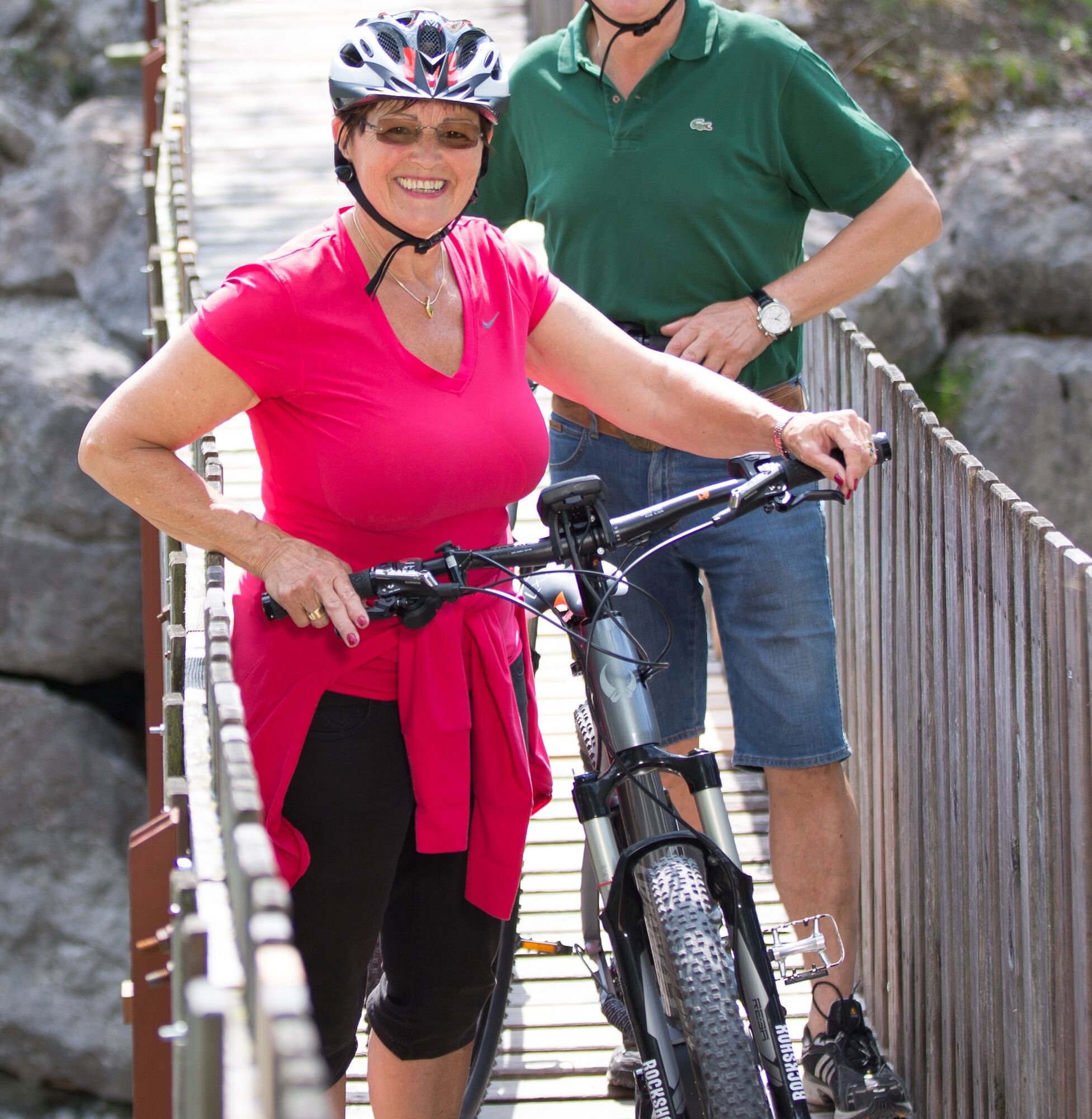
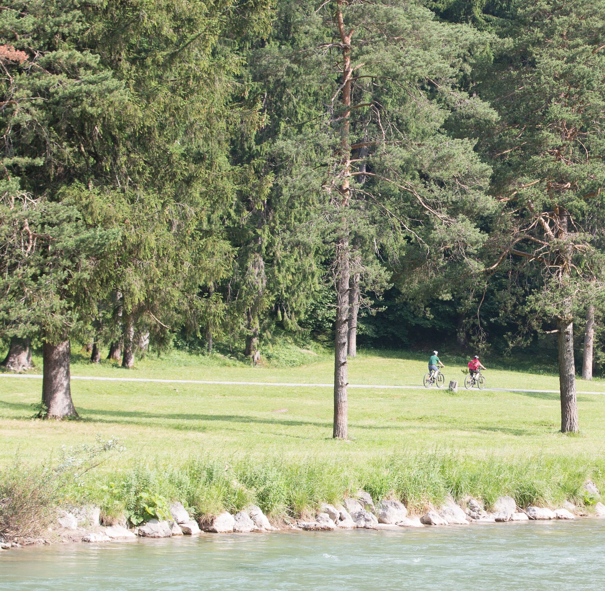
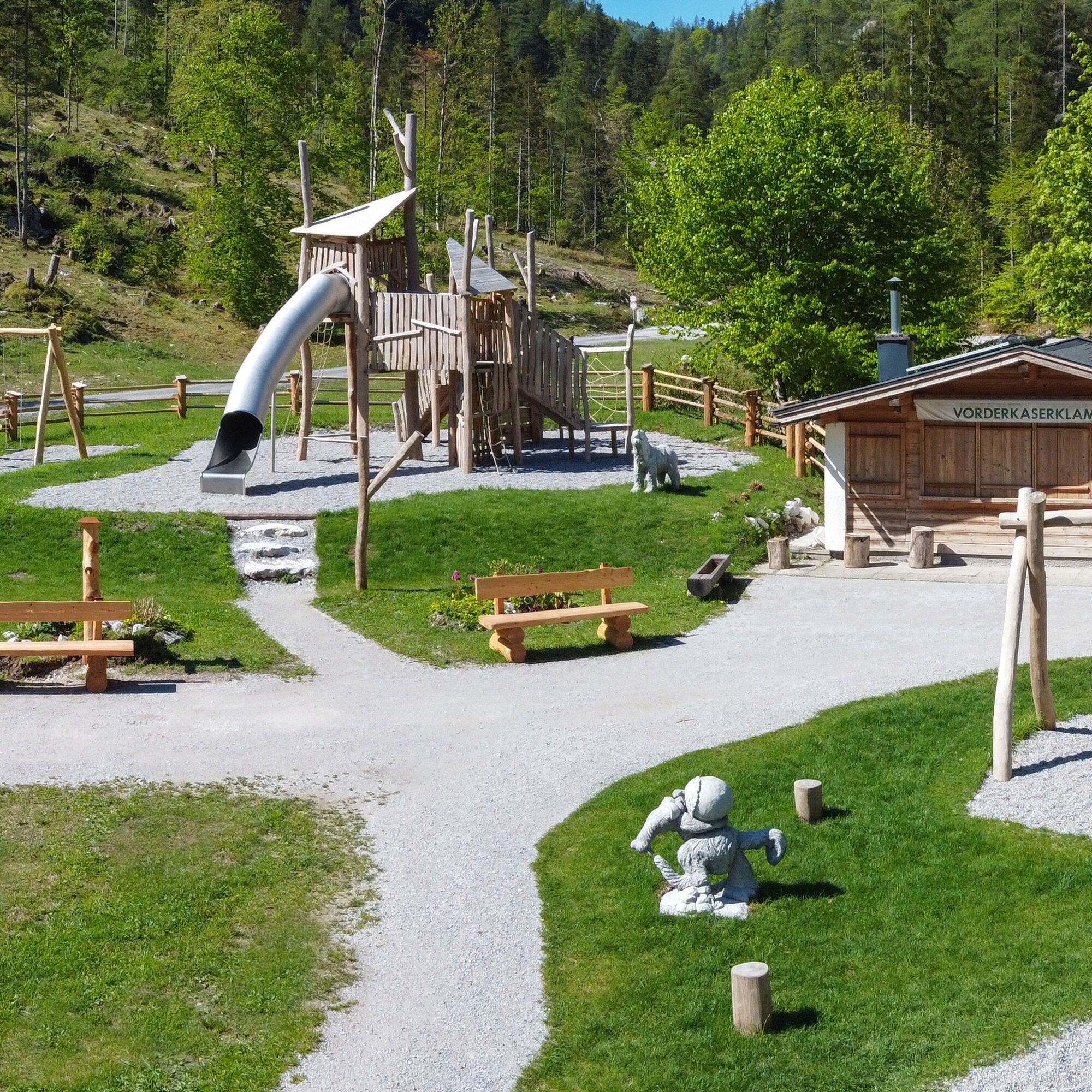
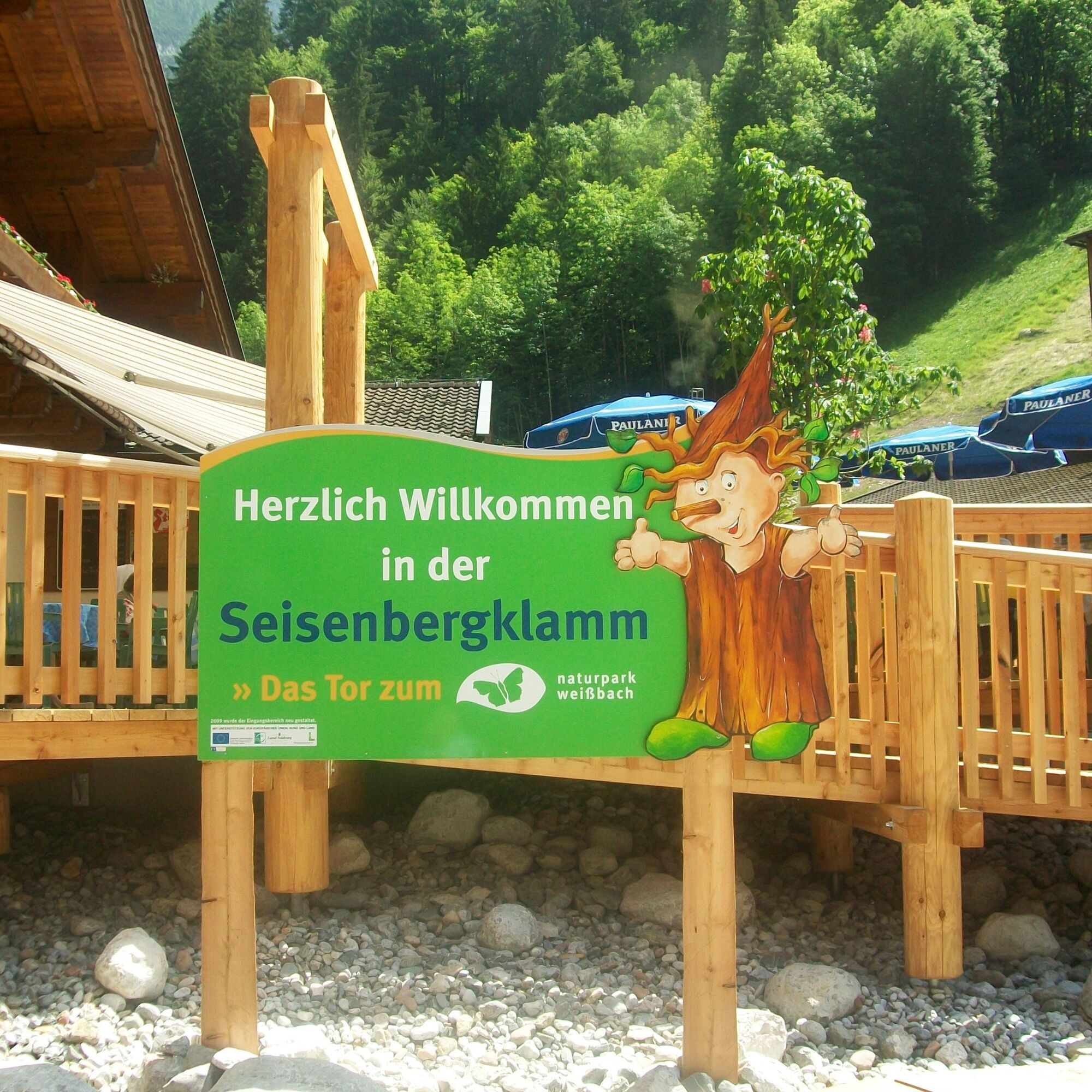
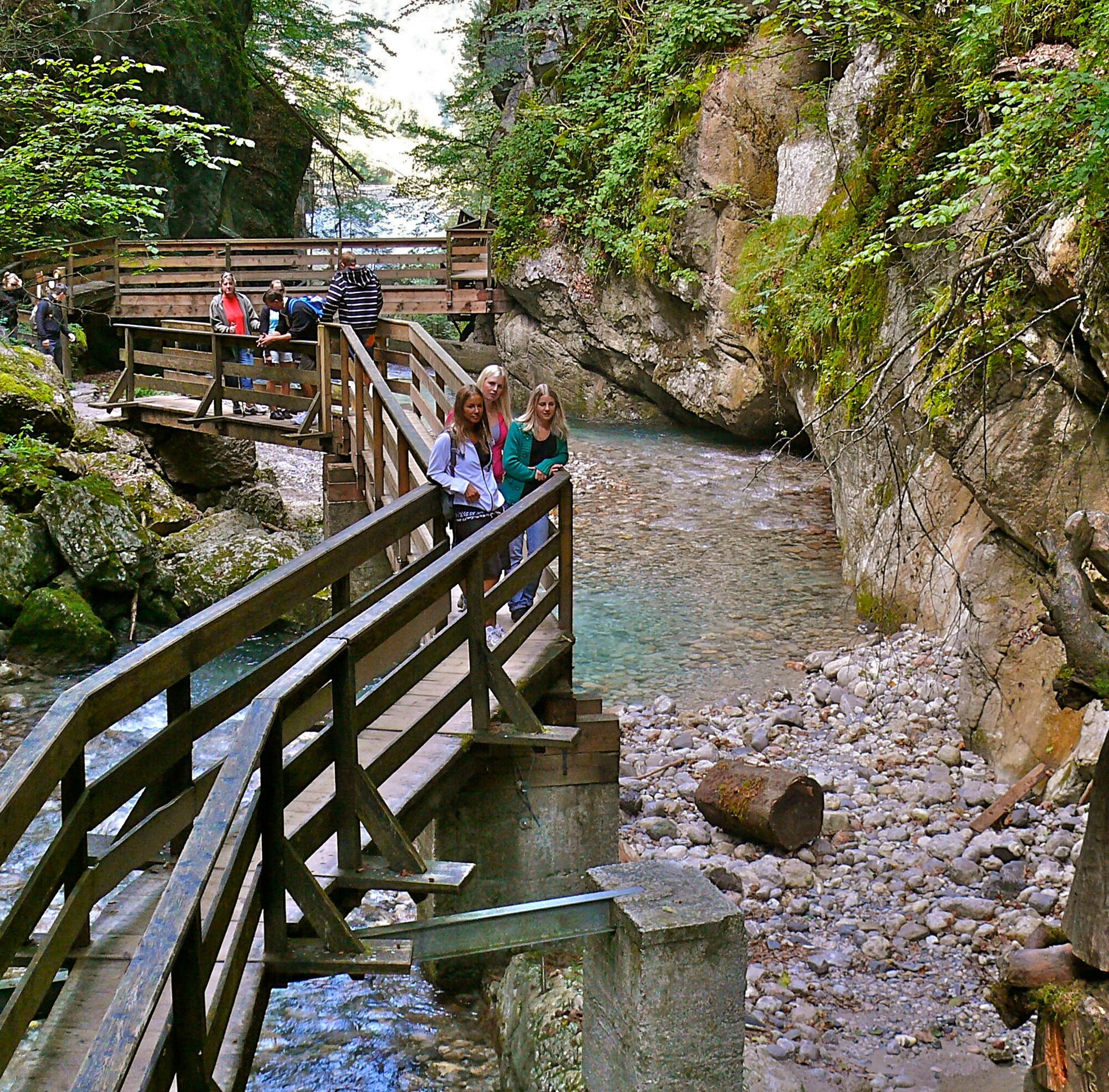
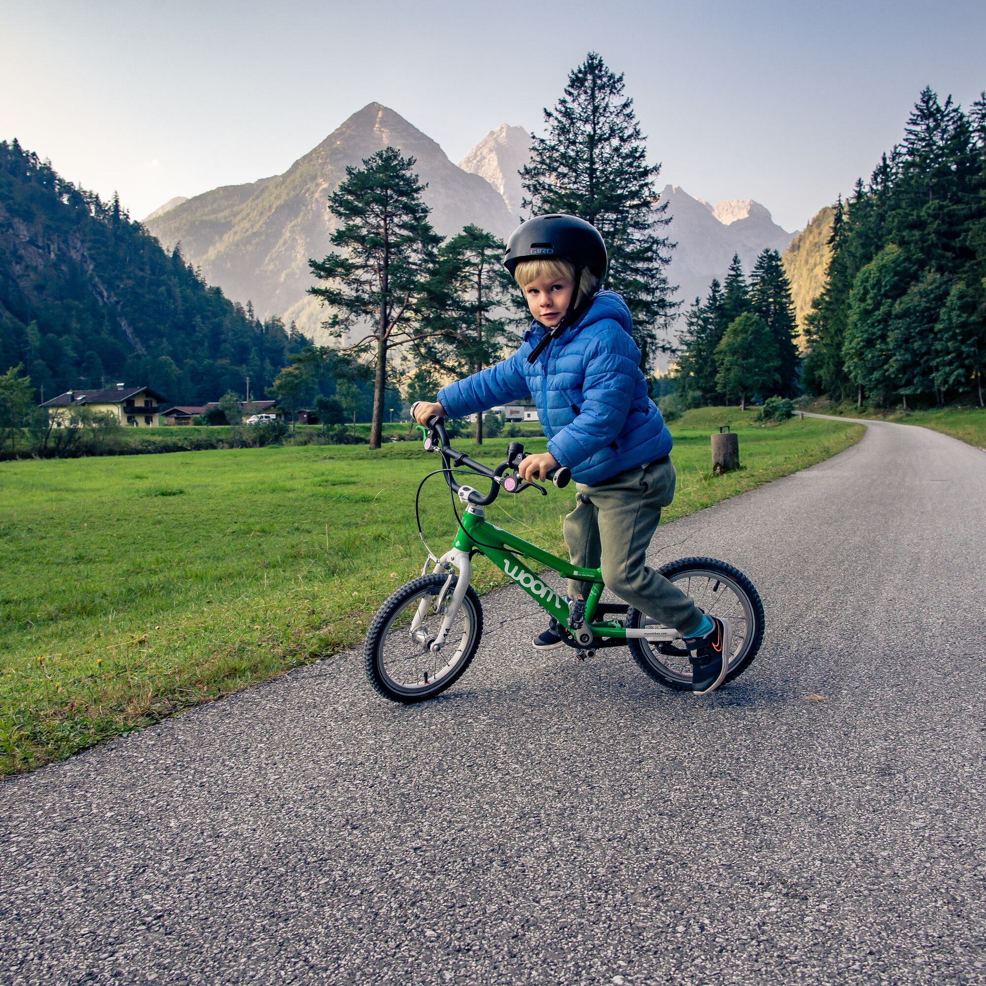
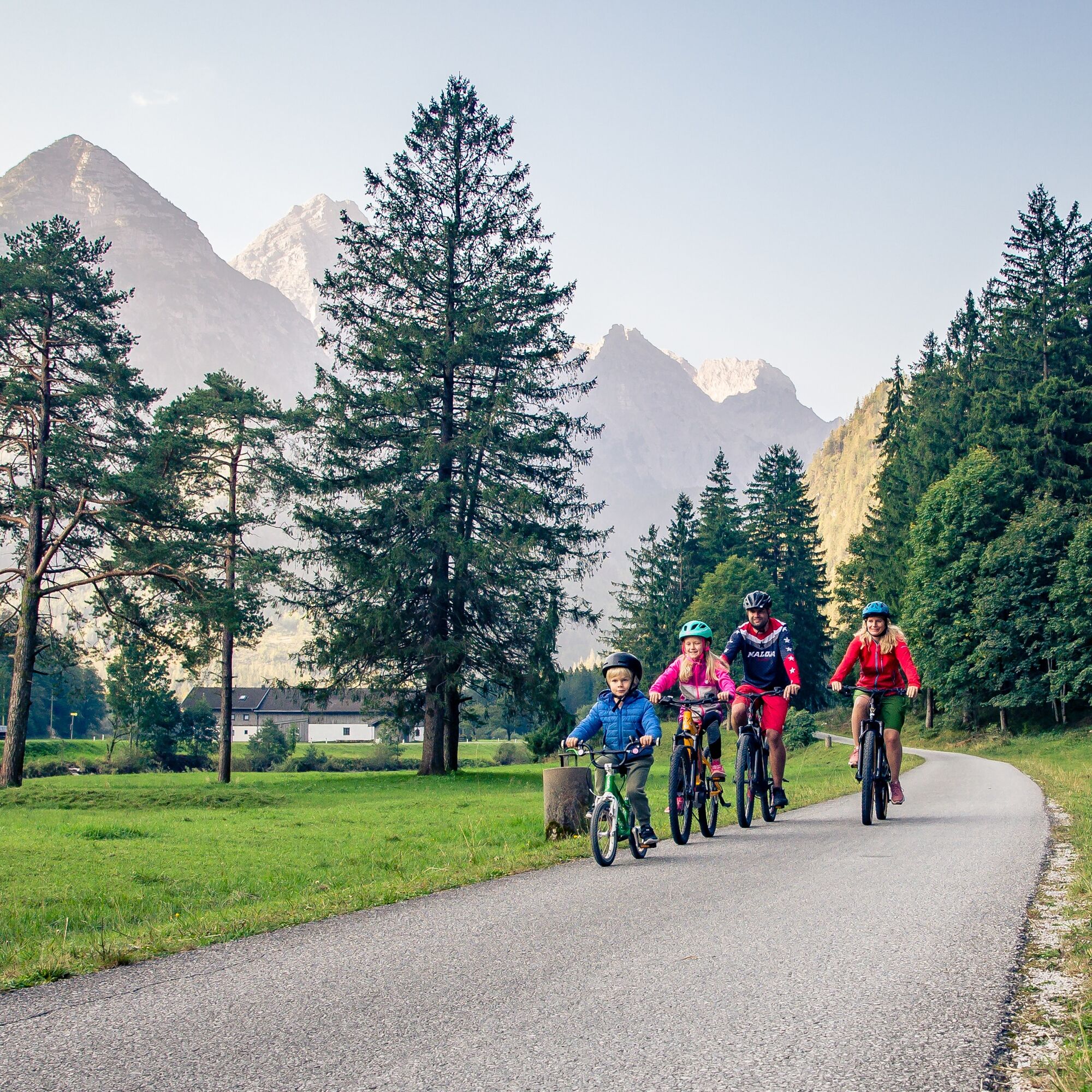

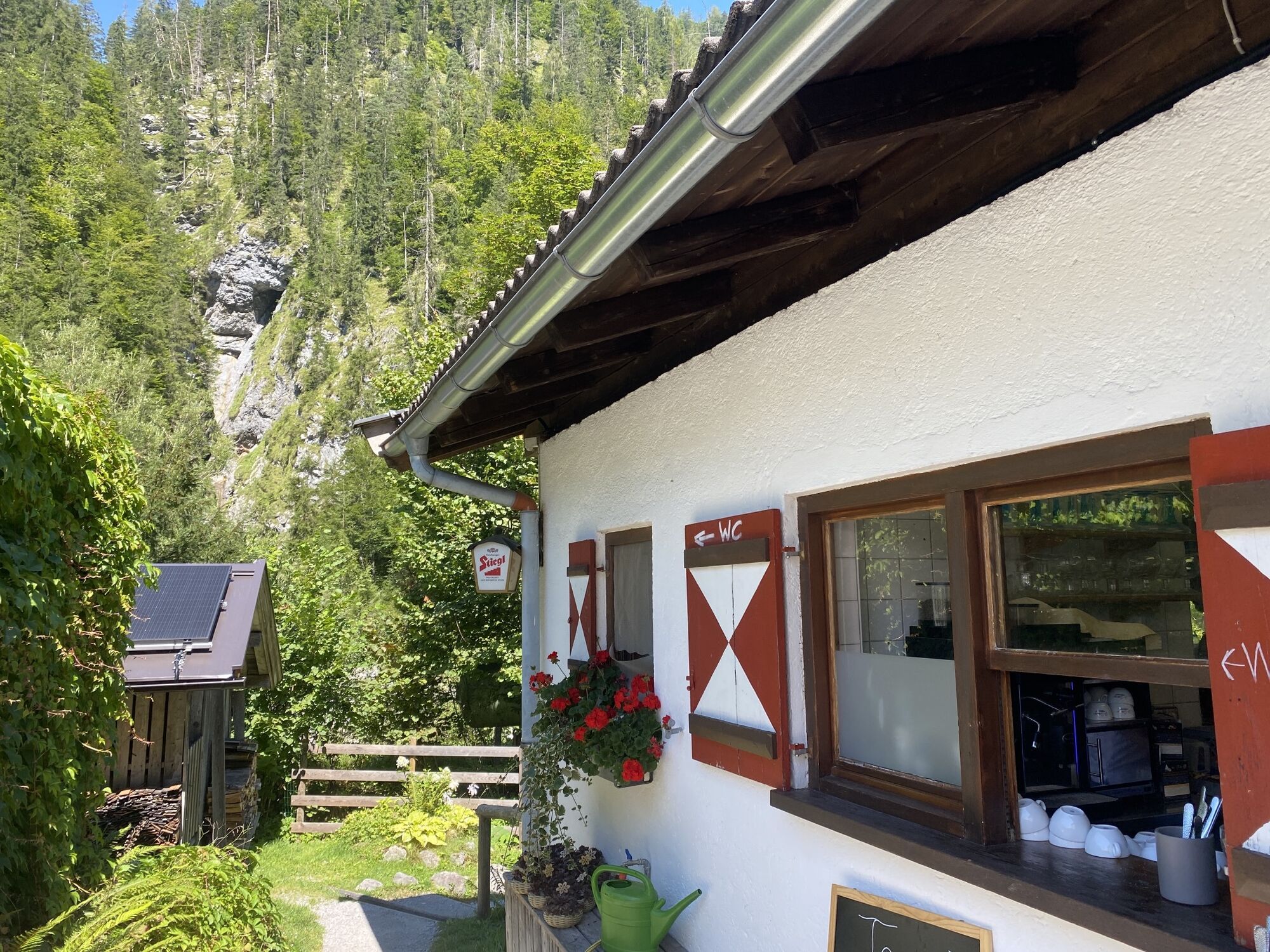
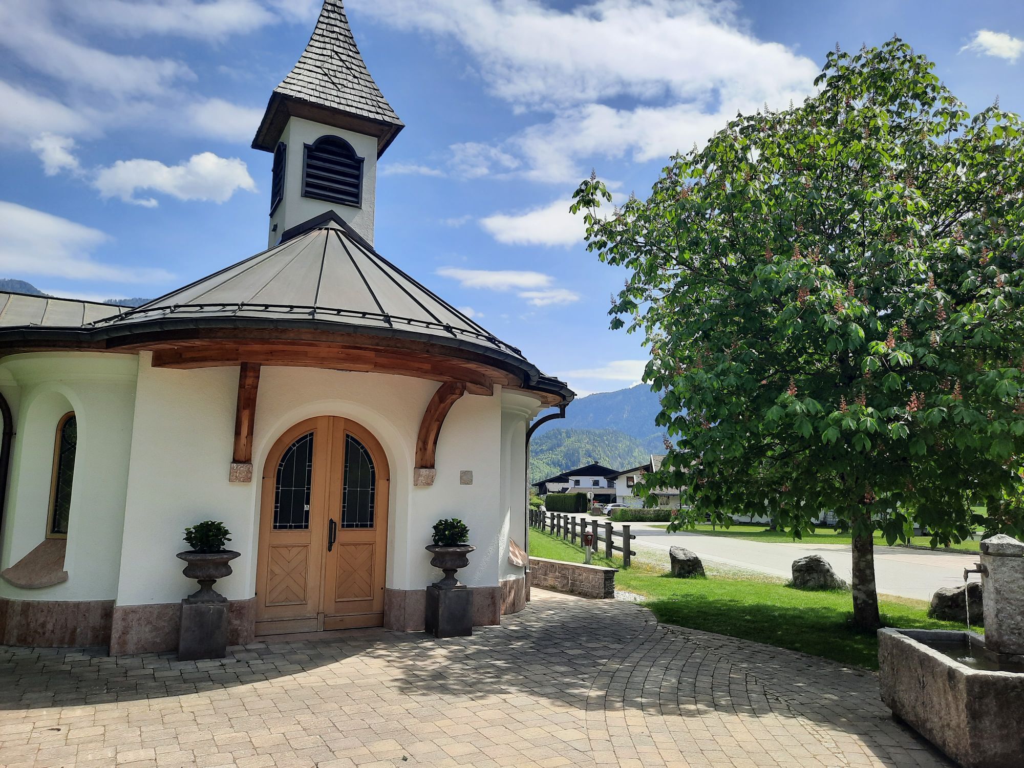
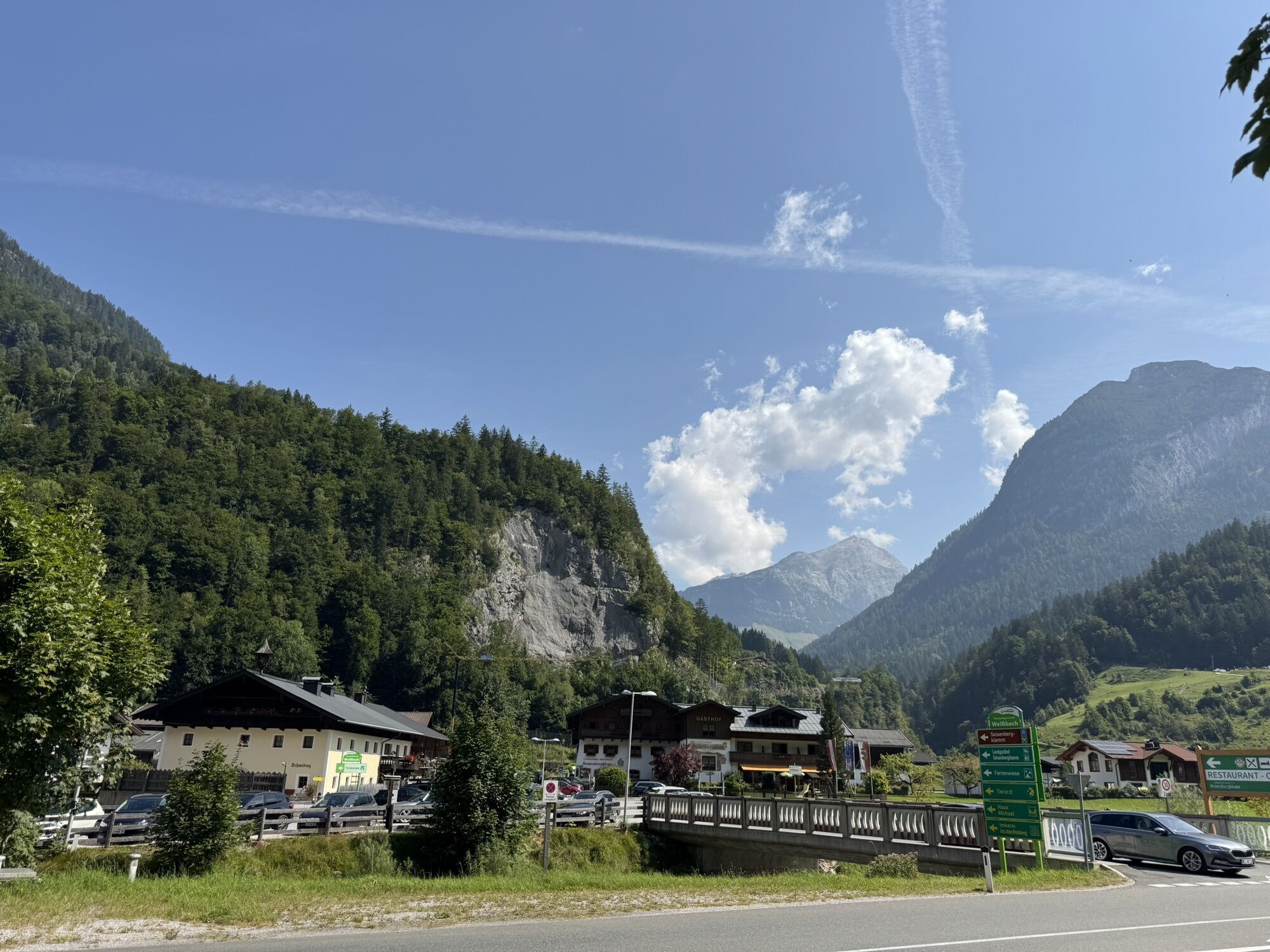
The bike route leads from Lofer to Weißbach and back along the well-signposted Tauern Cycle Path. You start at the large parking lot in Lofer and ride towards the church tower to reach the town center of Lofer. Here you pass through the marketplace, ride along Marktstraße to the federal highway, turn left behind Hotel Lintner and ride in the shadow of the Rauchenberg past the Hochmoos inn, following the road to the federal highway. Here you turn right and follow a short section alongside the federal highway to Sankt Martin near Lofer. Then continue following the cycle path towards the Vorderkaser nature recreation area, which is perfect for a first short break. After about 2 km you reach the Vorderkaser Gorge. Returning back past the natural bathing area, turn right then to continue towards Weißbach. After about 2 km you reach the Lamprecht Cave (show cave - one of the largest cave systems in Europe). After a few more kilometers you come to Weißbach, where your last stop, the Seisenberg Gorge, awaits. The return route leads back via the Tauern Cycle Path to Lofer.
Áno
In addition to a water bottle, we recommend sturdy footwear, warm clothing and rain protection (temperature in the cave approx. 4 °C), repair kit, first aid kit, mobile phone, light, gloves, sunglasses. Possibly bring provisions - and of course don't forget the helmet.
Coming from Salzburg via the small German corner (Bad Reichenhall/B21). Then follow the B178 to Lofer.
Coming from Innsbruck via the A12 to the Wörgl exit. From there via the B178 and St. Johann to Lofer.
free parking at the large parking lot Lofer (P2)
2
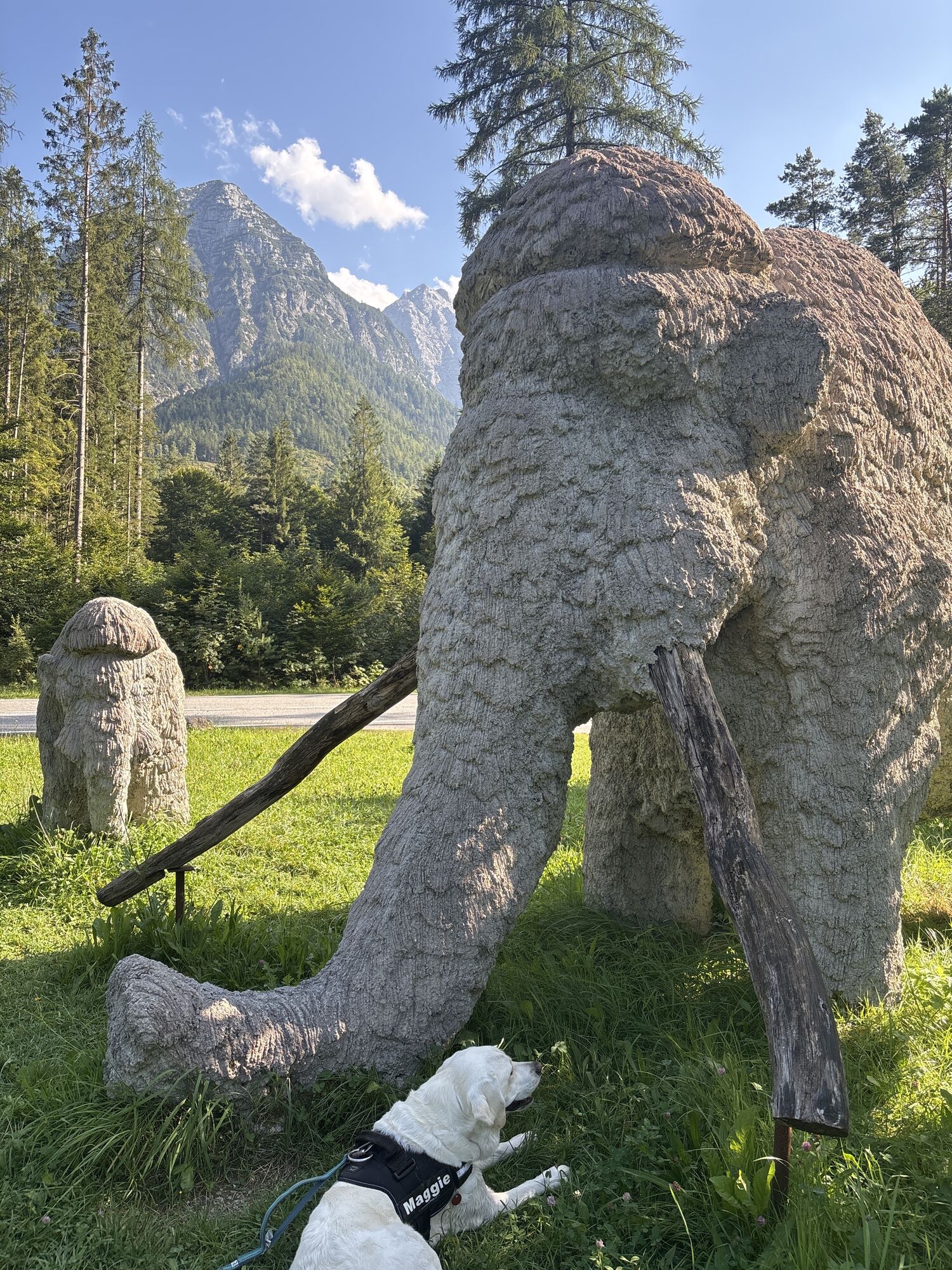
Attention children: On the way to the Vorderkaser Gorge you will find adventure stations on the Stone Age path and the Vorderkaser natural bathing area. In the Lamprecht Cave there is the legend of the knight Lamprecht, and through the Seisenberg Gorge a gorge spirit guides you.
Získajte prehľad
Vždy naživo na mieste s viac ako 9 500 webovými kamerami. bergfex Ako používateľ Pro si teraz môžete pozrieť príslušné webové kamery pre mnohé zájazdy v aplikácii zájazdy z. Môžete si tak priamo prezerať aktuálne podmienky.

Obľúbené výlety v okolí
-
4,5
Wimbachgrieshütte
Turistika 8,30 km -
4,3
Halsalm
Turistika 6,43 km -
4,7
Over the waterfall trail into the Almenwelt Lofer
strednáTuristika 3,29 km -
4,6
Steinalm
svetloTuristika 2,71 km -
4,6
Seisenberg Gorge
svetloTuristika 2,41 km -
4,5
Peter-Wiechenthaler Hut
strednáTuristika 4,32 km -
5,0
Goldtoni - Wandern - Watzmann - Überschreitung
ťažkéVysoké turné 25,3 km -
3,8
Blaueis - Schärtenspitze
Turistika 7,29 km -
4,9
Ramsau/Hintersee-Runde
svetloTuristika 9,44 km -
4,9
Watzmann Überschreitung an einem Tag
ťažkéTuristika 23,9 km
Turistika a stopovanie


Nenechajte si ujsť ponuky a inšpiráciu na ďalšiu dovolenku
Vaša e-mailová adresa bol pridaný do poštového zoznamu.





