


Flachau - Marbachalms - e-MTB route (12)


Fotografie našich používateľov
-

 © Olariu AdrianVytvorené dňa 18.08.2025
 -
 © Olariu AdrianVytvorené dňa 18.08.2025
 -
 © Olariu AdrianVytvorené dňa 18.08.2025
 -
 © Olariu AdrianVytvorené dňa 18.08.2025
 -
 © Olariu AdrianVytvorené dňa 18.08.2025
 -
 © Olariu AdrianVytvorené dňa 18.08.2025
 -
 © Olariu AdrianVytvorené dňa 18.08.2025
 -
 © Olariu AdrianVytvorené dňa 18.08.2025
 -
 © Olariu AdrianVytvorené dňa 18.08.2025
 -
 © Olariu AdrianVytvorené dňa 18.08.2025
 -
 © Olariu AdrianVytvorené dňa 18.08.2025
 -
 © Olariu AdrianVytvorené dňa 18.08.2025
 -
 © Olariu AdrianVytvorené dňa 18.08.2025
 -
 © Olariu AdrianVytvorené dňa 18.08.2025
 -
 © Buchegger BarbaraVytvorené dňa 15.09.2025
 -
 © Buchegger BarbaraVytvorené dňa 15.09.2025
 -
 © Buchegger BarbaraVytvorené dňa 15.09.2025
 -
 © Buchegger BarbaraVytvorené dňa 15.09.2025
 -
 © Buchegger BarbaraVytvorené dňa 15.09.2025
 -
 © Buchegger BarbaraVytvorené dňa 15.09.2025
 -
 © Buchegger BarbaraVytvorené dňa 15.09.2025
 -

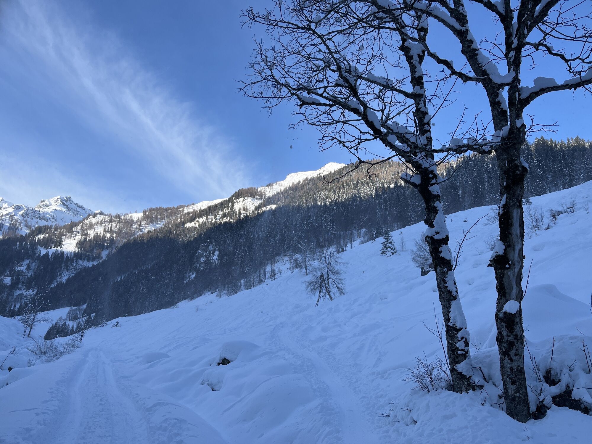
 © Rok BendaVytvorené dňa 15.02.2025
 -

 © Heinz SperlVytvorené dňa 10.01.2024

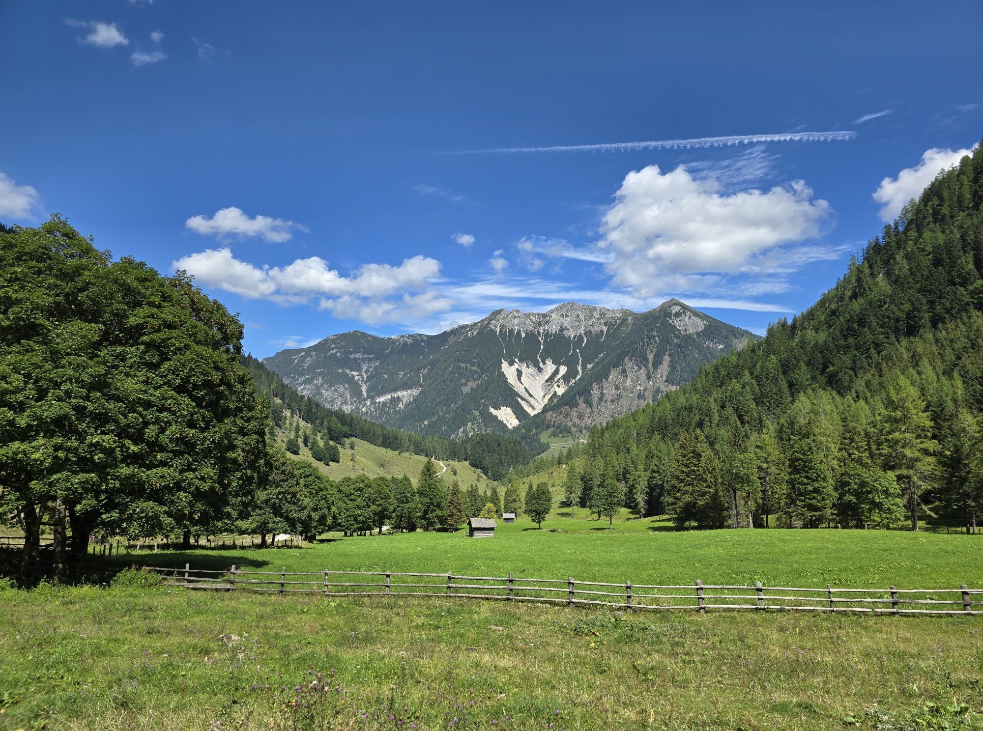


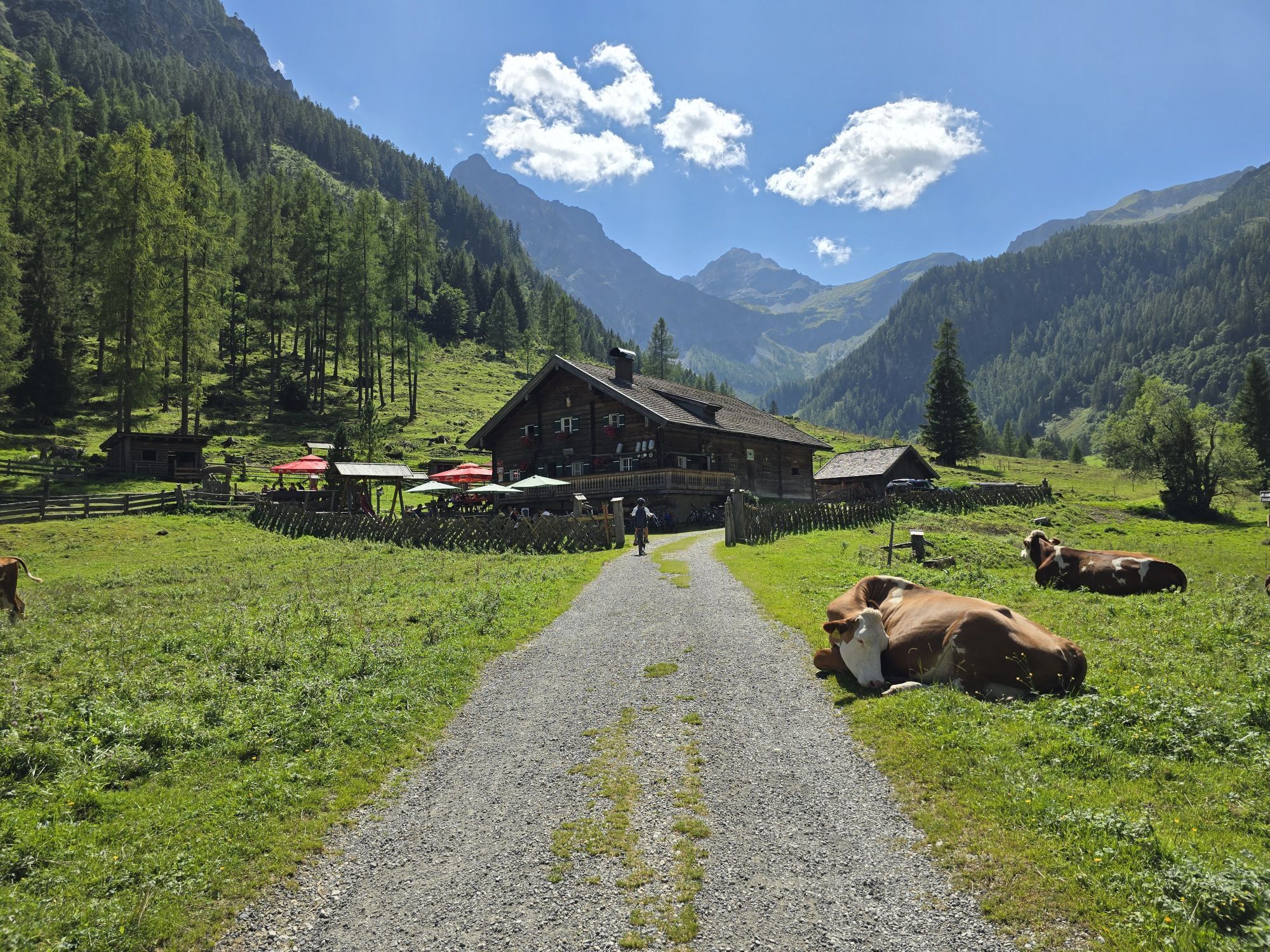

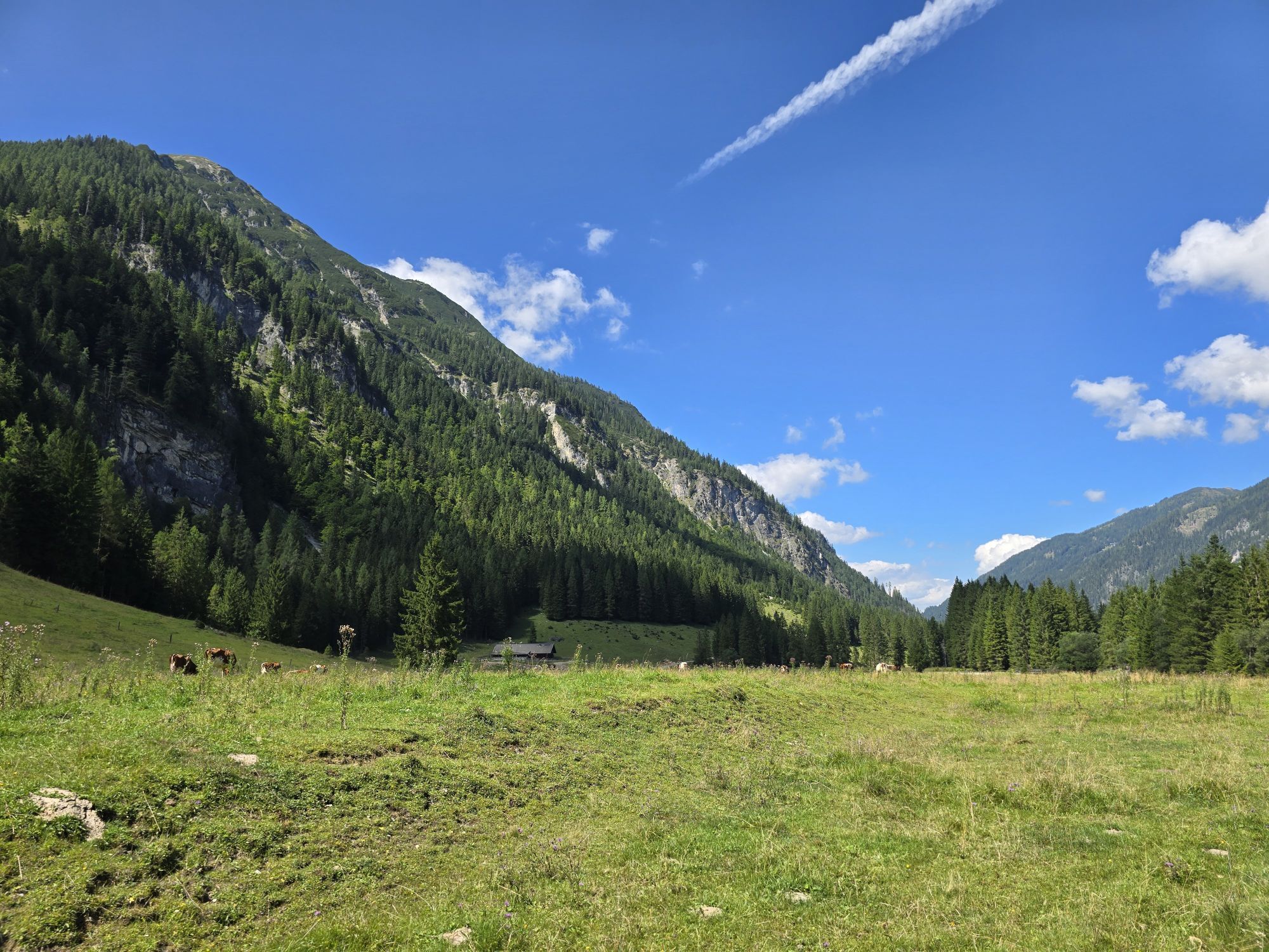


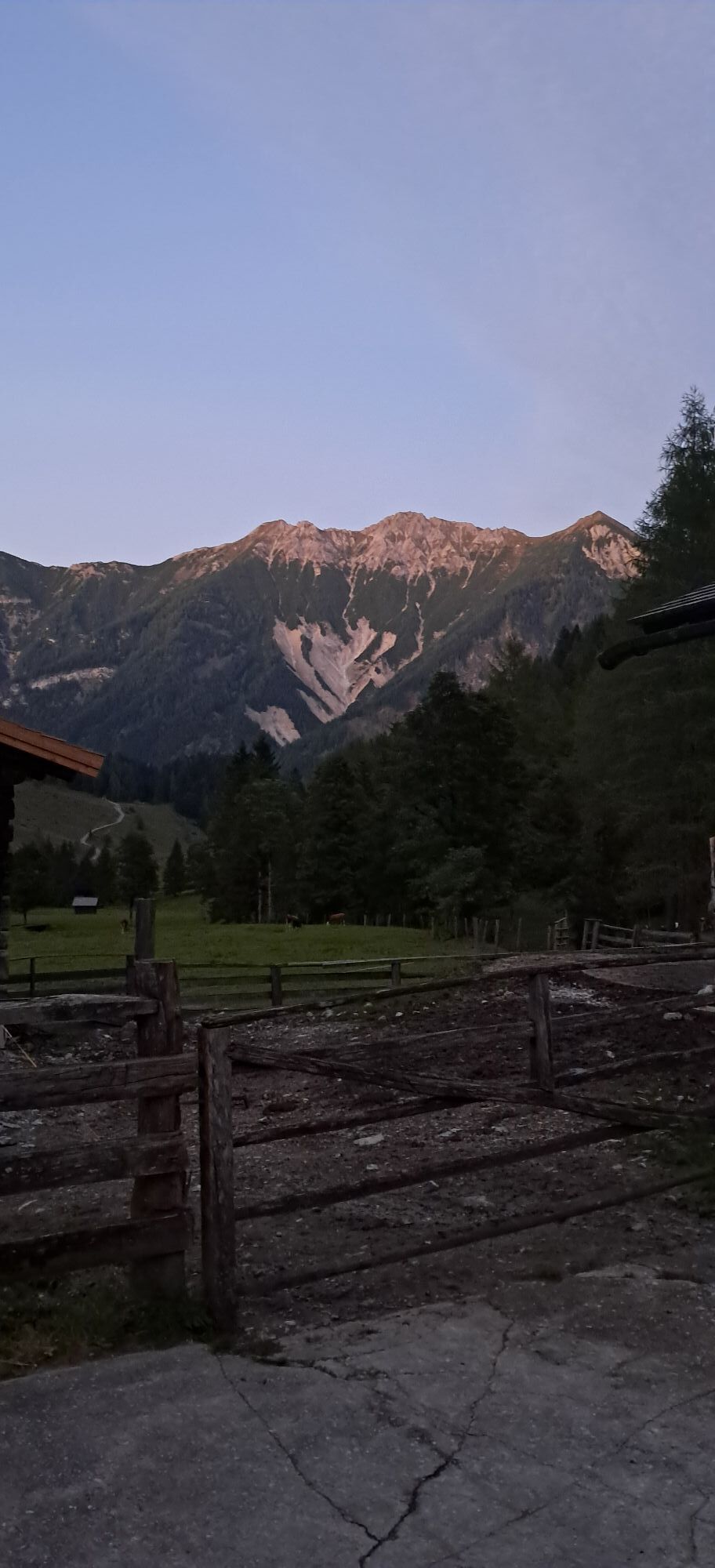
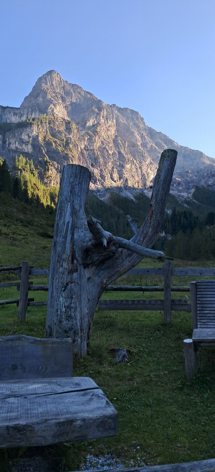
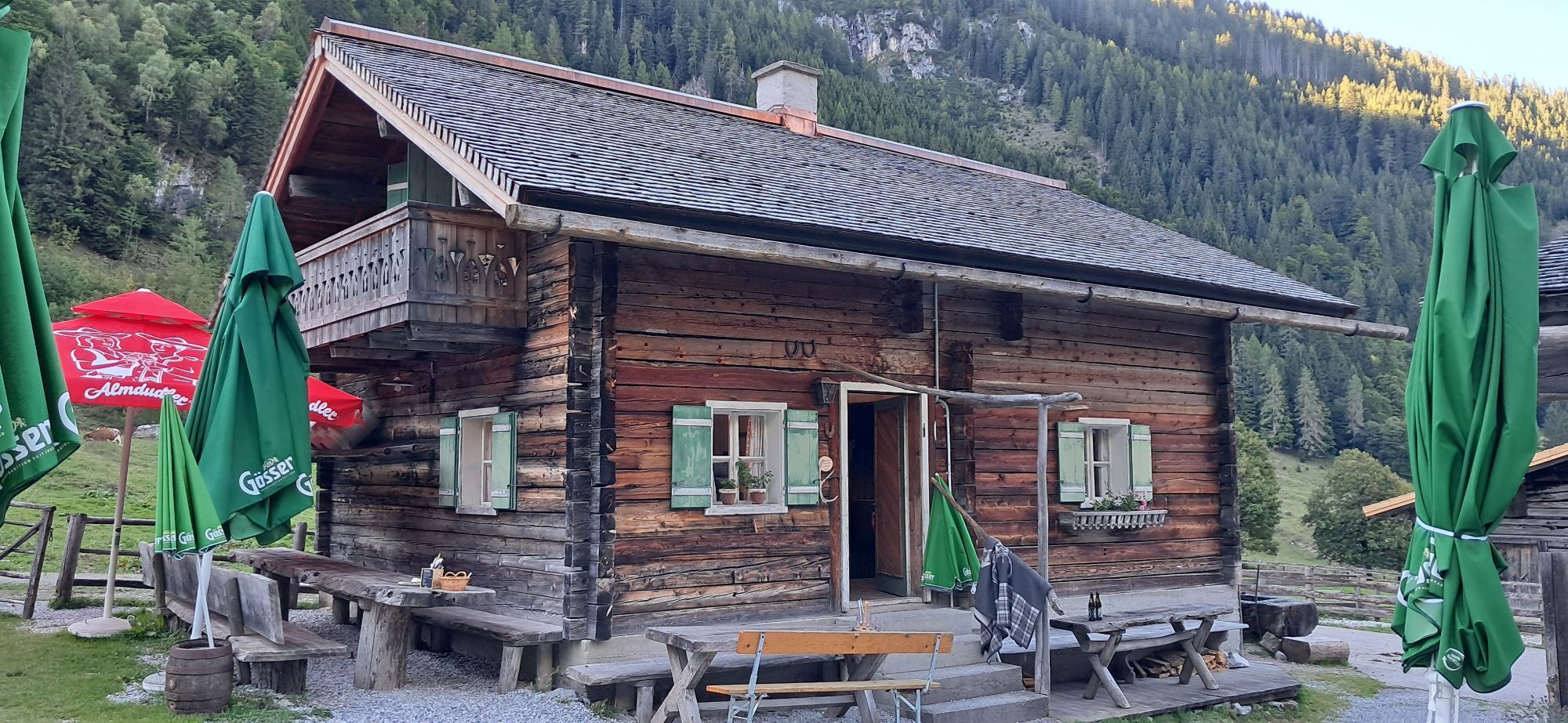
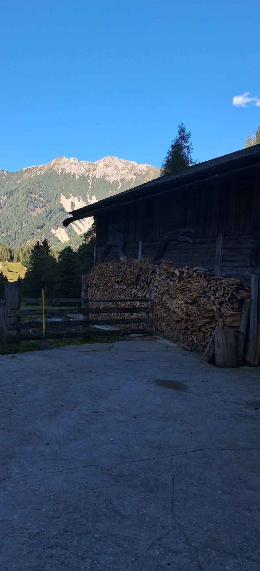
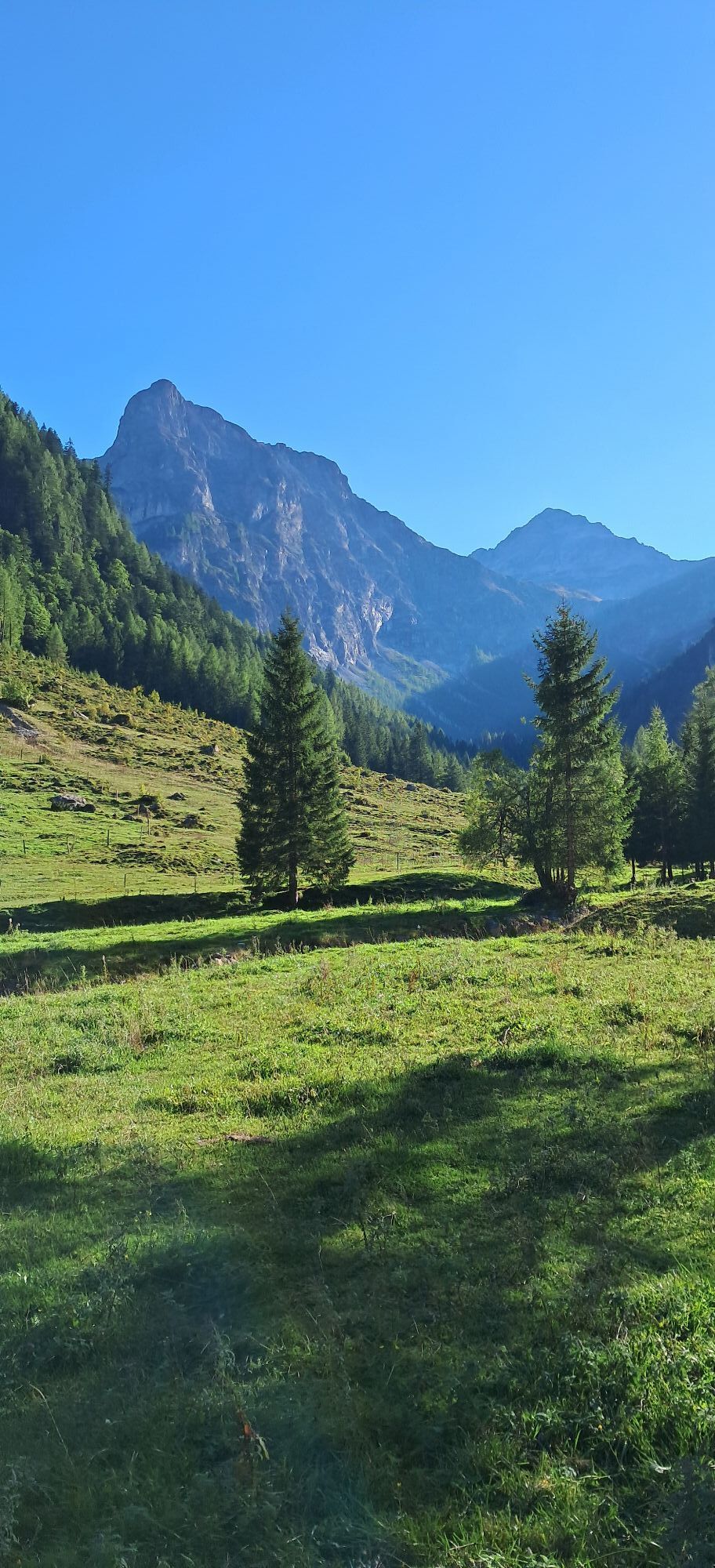
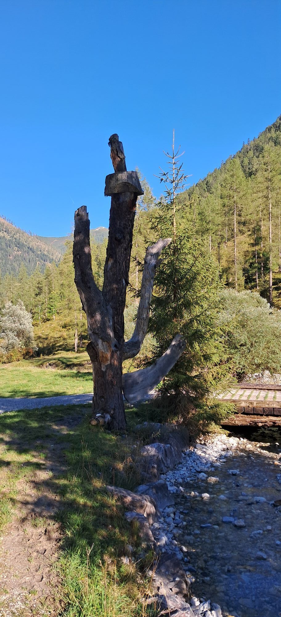


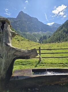
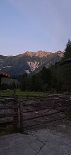
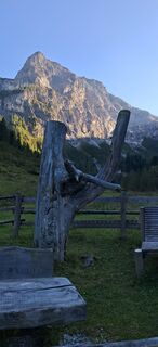
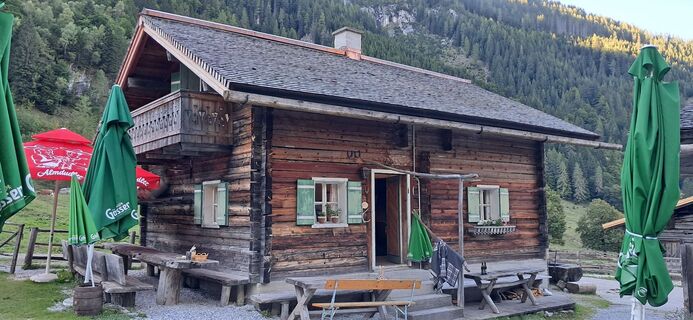
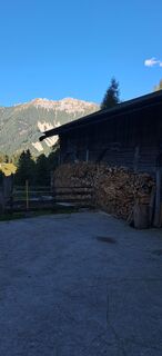
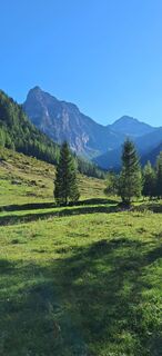
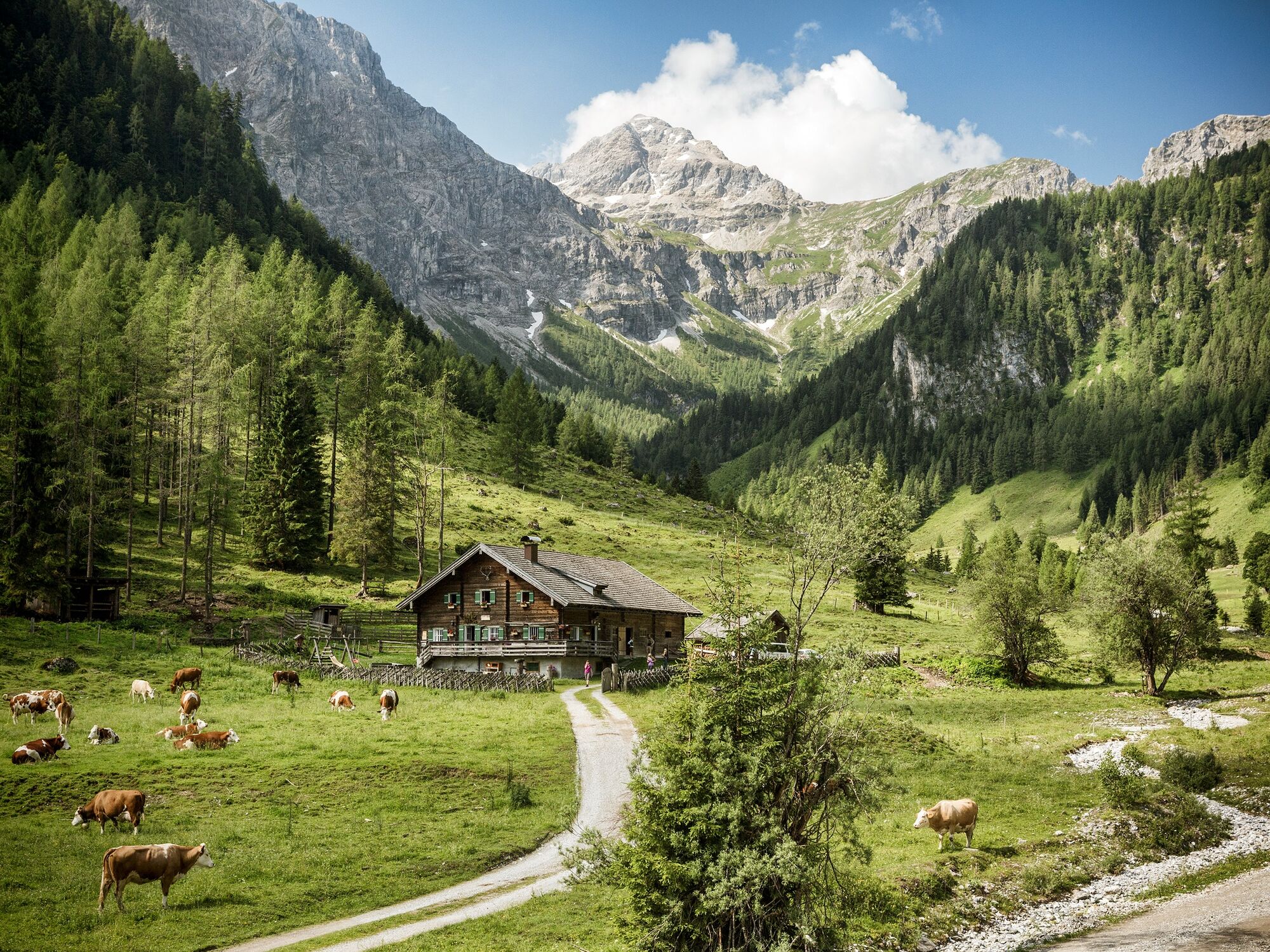
Along the picturesque Marbach in a beautiful alpine pasture area lie the Marbachalms in the valley end of Flachauwinkl. The steep cliffs of the Radstädter Tauern, at the foot of which the Marbach valley...
Along the picturesque Marbach in a beautiful alpine pasture area lie the Marbachalms in the valley end of Flachauwinkl. The steep cliffs of the Radstädter Tauern, at the foot of which the Marbach valley lies, form a magnificent backdrop. Several cozy huts invite you to stop for a break.
E-bike charging station directly in front of the Flachau tourist information and the Schauphof snack station.


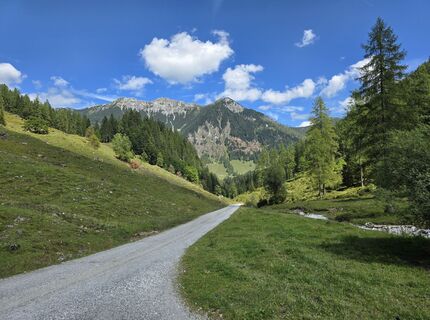
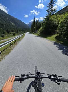
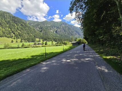
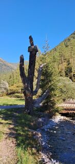
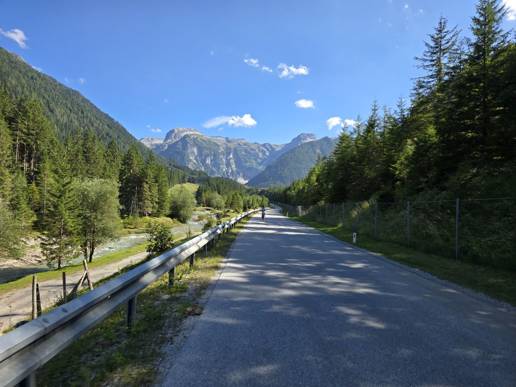
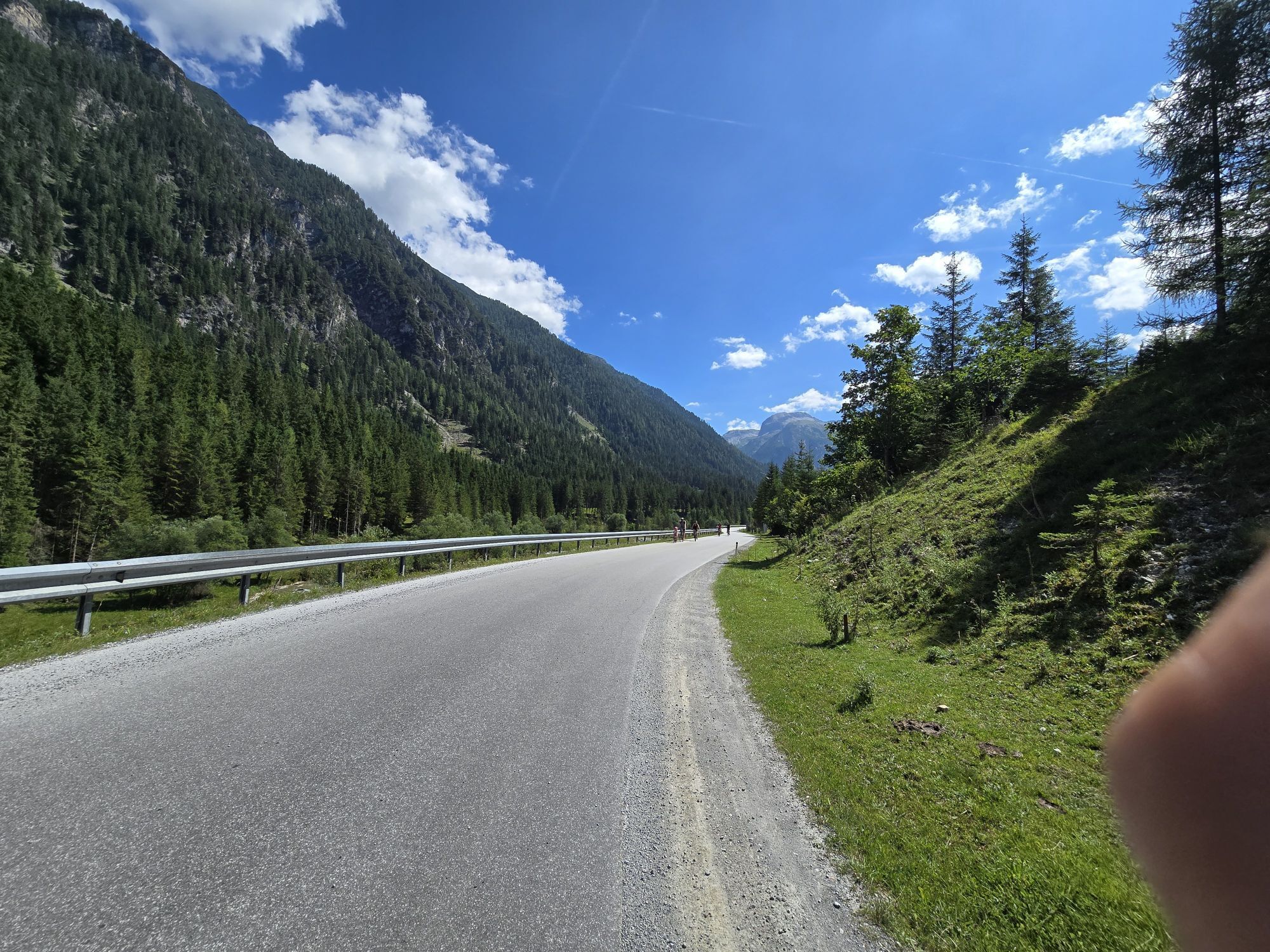
Start at Flachau tourist information - along the Enns cycling path towards the valley end Flachauwinkl – past the Flachauwinkl bathing lake at km 3.5 and also past the valley station of the ski lift Flachauwinkl/Zauchensee at km 6 - at km 10 turn right towards Marbachalms (start of gravel road / barrier) - beautiful alpine valley at the foot of the striking Faulkogel - several places to stop along the Marbach valley - same route back to Flachau.
Áno
For your own safety, wearing a helmet is recommended.
Flachau center / Flachau tourist information
Parking facilities are available in the immediate vicinity of the starting point.
At the Flachau tourist information you can get a cycling map with information about this route.
Obľúbené výlety v okolí
-
4,5
Mosermandl Windischscharte, Salzburger Land/Österreich
ťažkéTuristika 14,6 km -
4,2
Ennskraxn (2410m)
ťažkéTuristika 14,7 km -
4,3
Glöcknerin
ťažkéTuristika 5,60 km -
4,6
Ski route Lackenkogel
strednáSkitour 7,82 km -
4,2
Großarl: Unterwandalm - Karseggalm - Breitenebenalm
strednáTuristika 5,93 km -
5,0
Rundwanderweg von der Fallhausalm und Vögeialm übers Klamml zur Oberhütte am See
strednáTuristika 10 km -
4,4
Ski tour Liebeseck
ťažkéSkitour 14,1 km -
4,5
Penkkopf via Kleinarler hut from Kleinarl
strednáSkitour 4,35 km -
4,8
Obertauern to the Johannes Waterfall
strednáTuristika 9,39 km -
2,6
Glöcknerin
strednáTuristika 9,87 km
Turistika a stopovanie


Nenechajte si ujsť ponuky a inšpiráciu na ďalšiu dovolenku
Vaša e-mailová adresa bol pridaný do poštového zoznamu.