







Ski route Lackenkogel

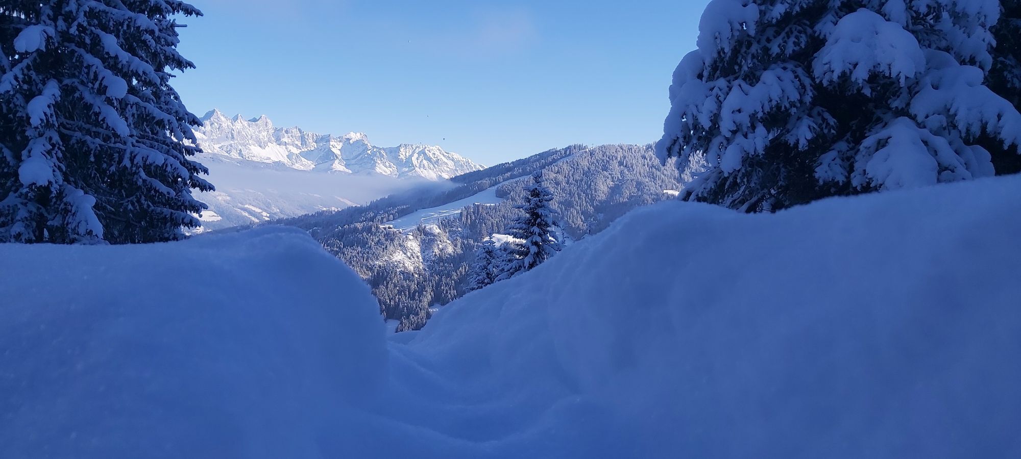
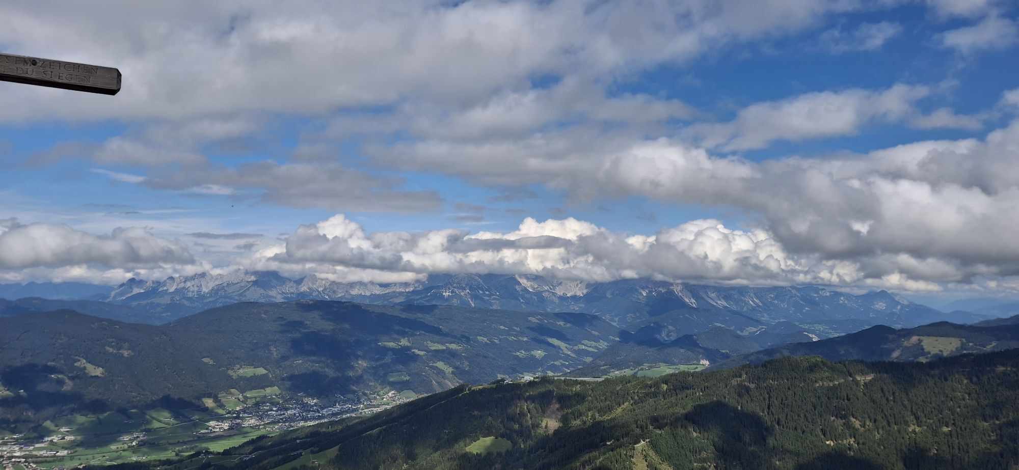
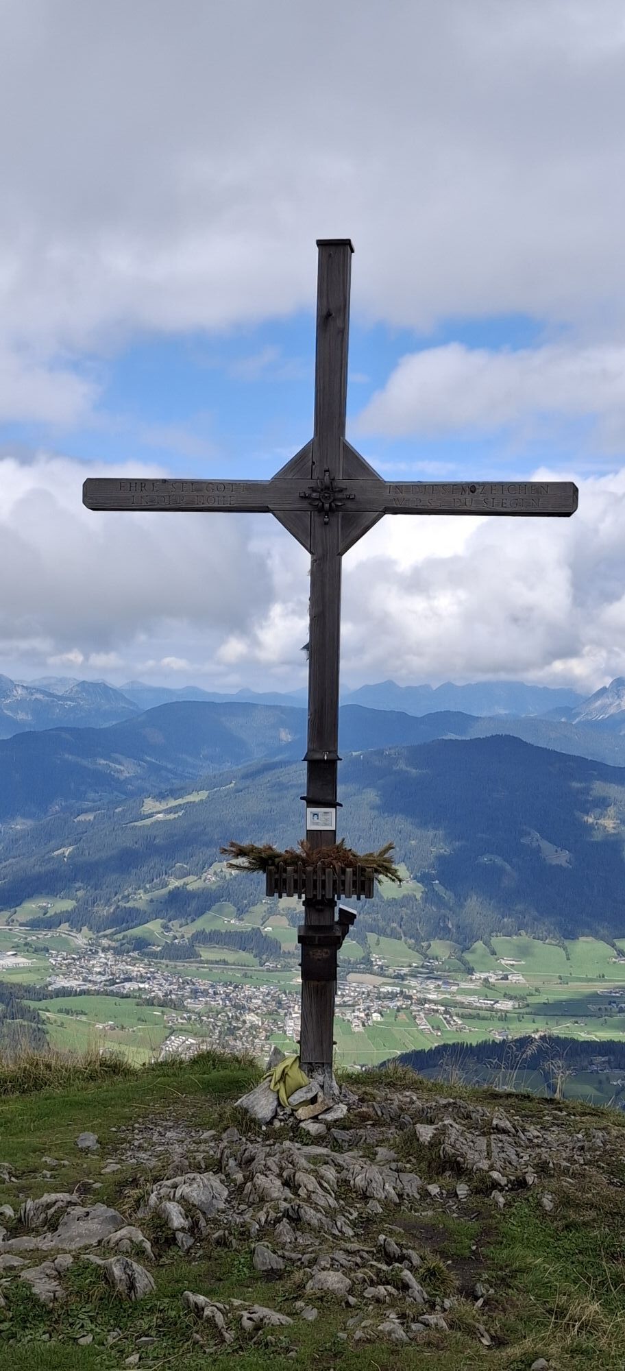
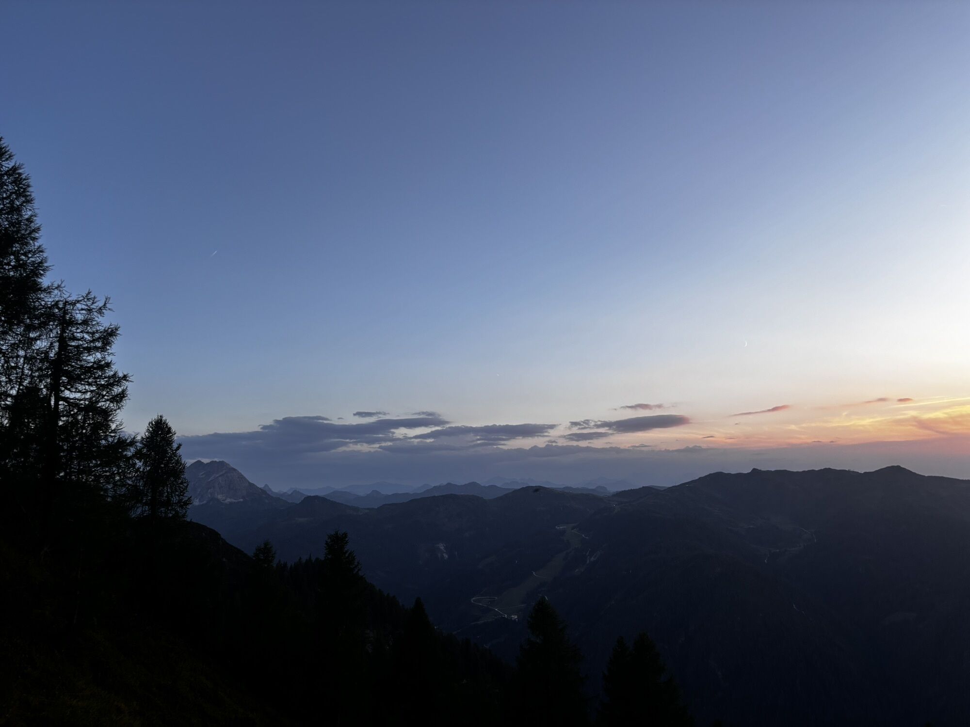
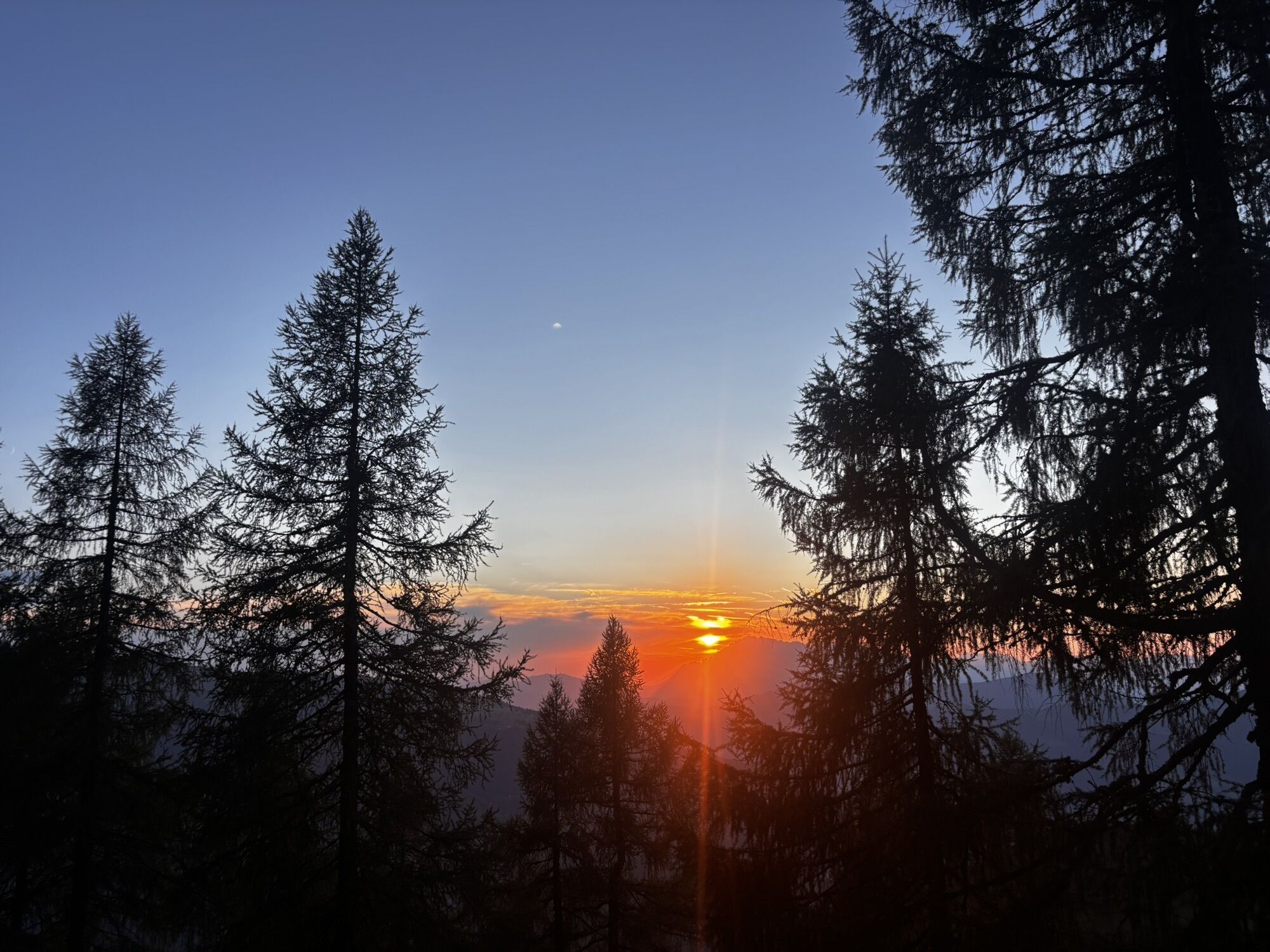

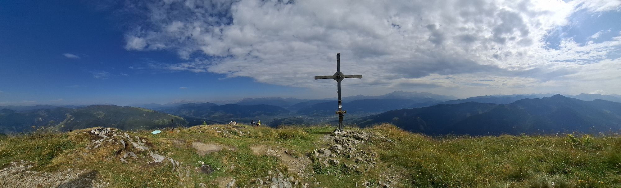
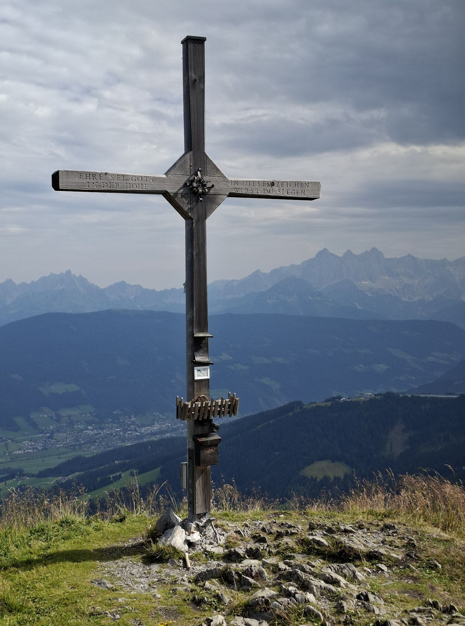
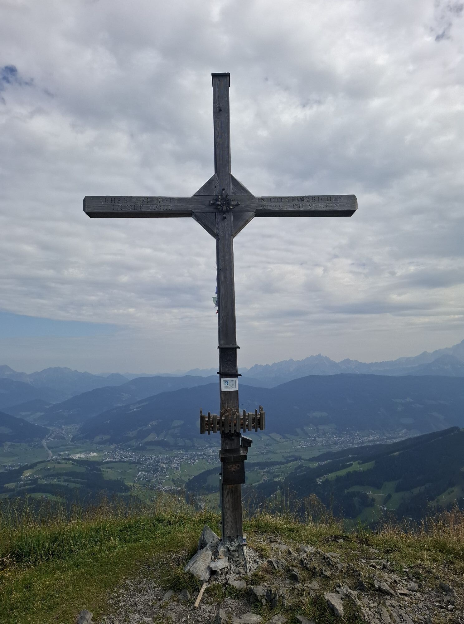
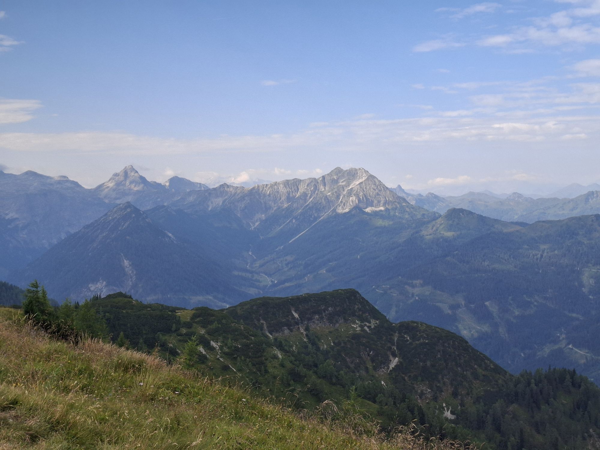
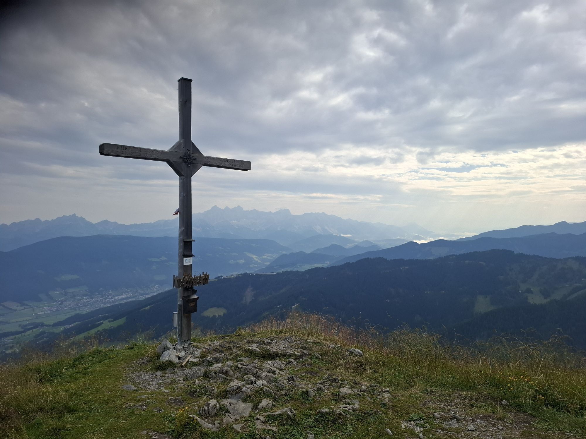
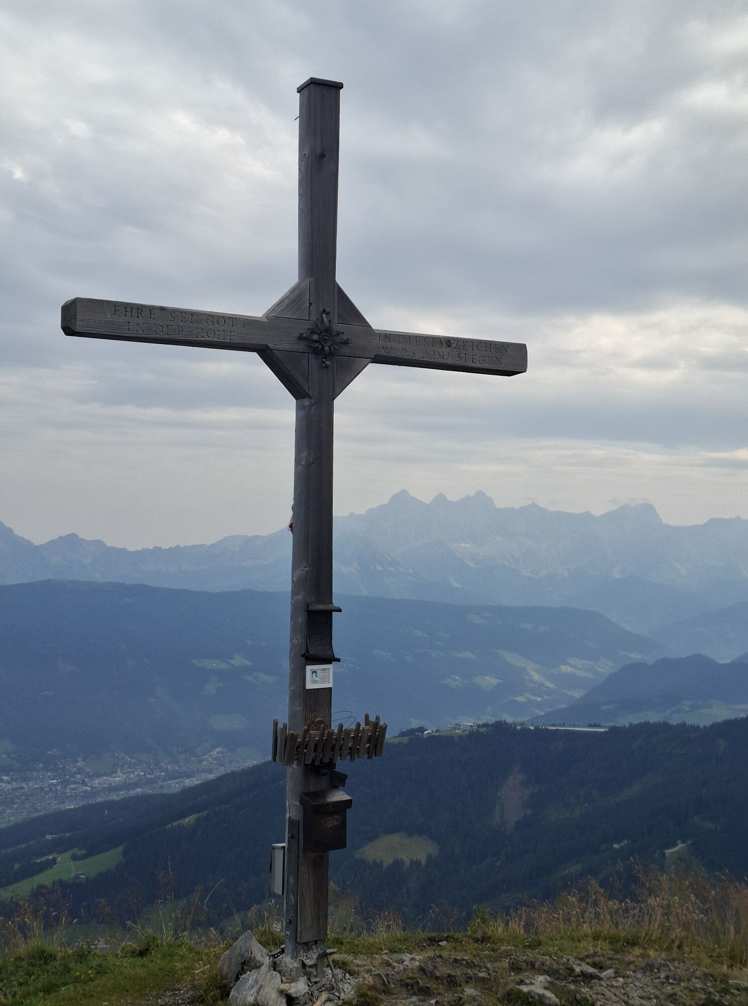
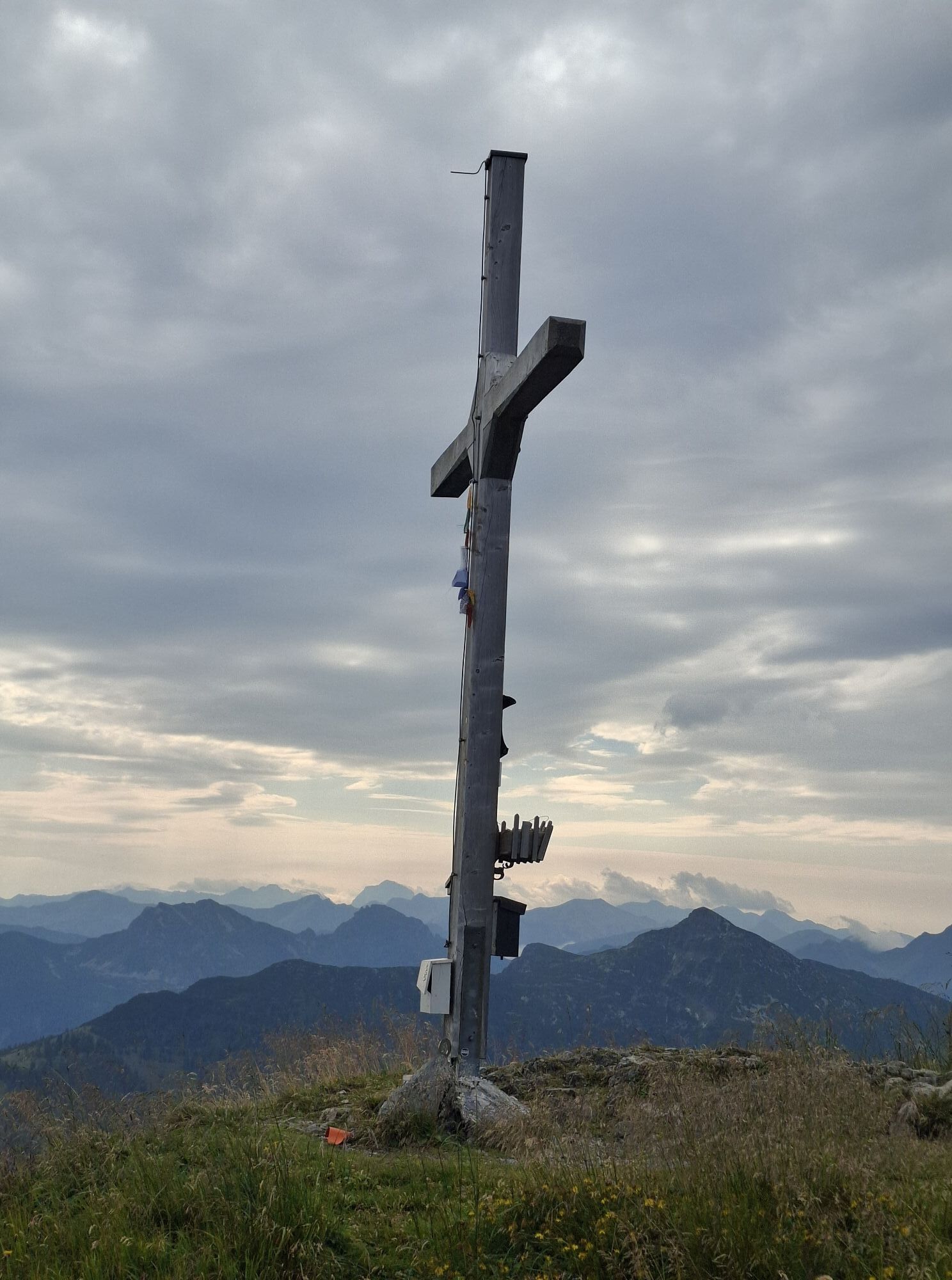
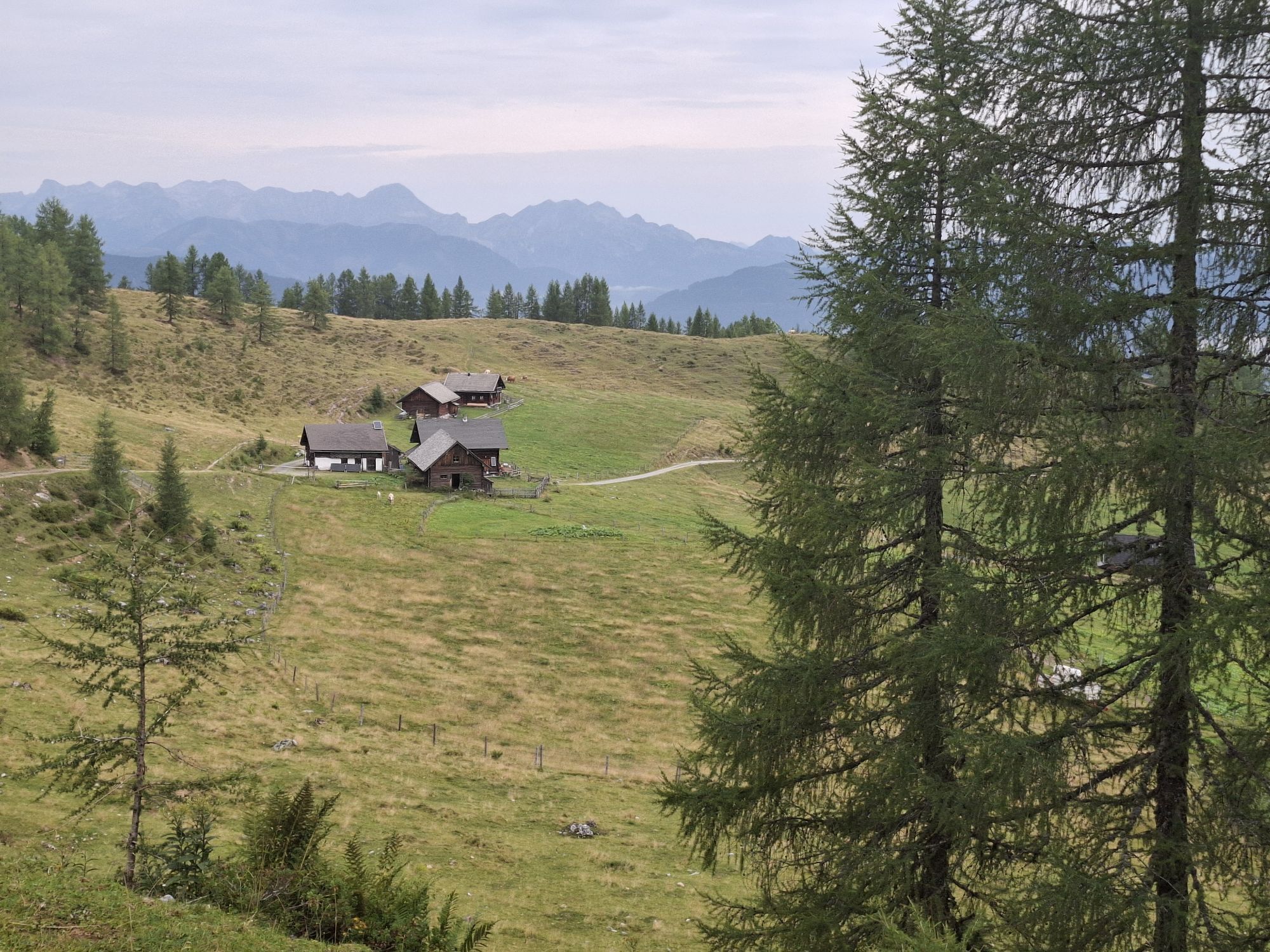
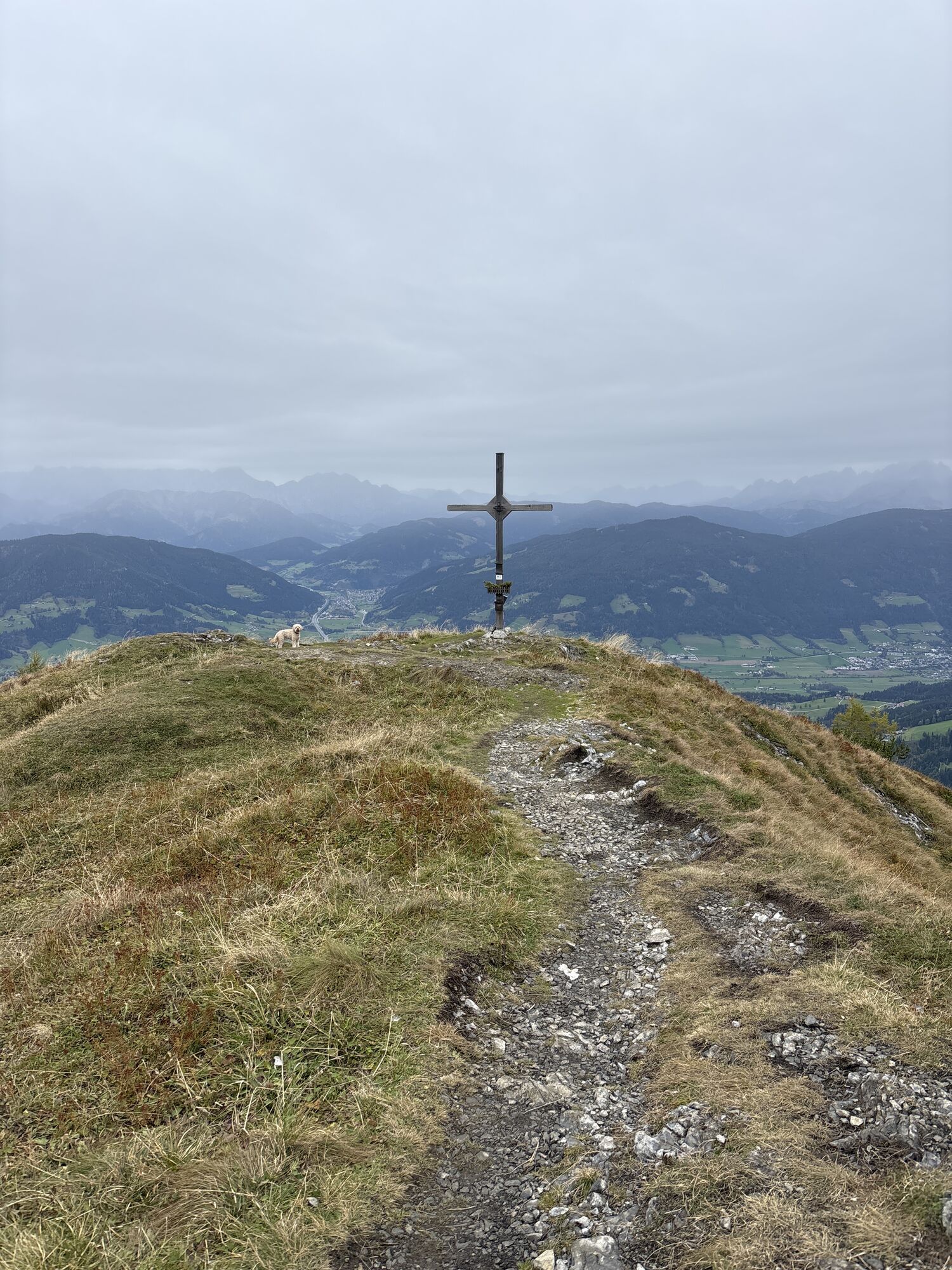
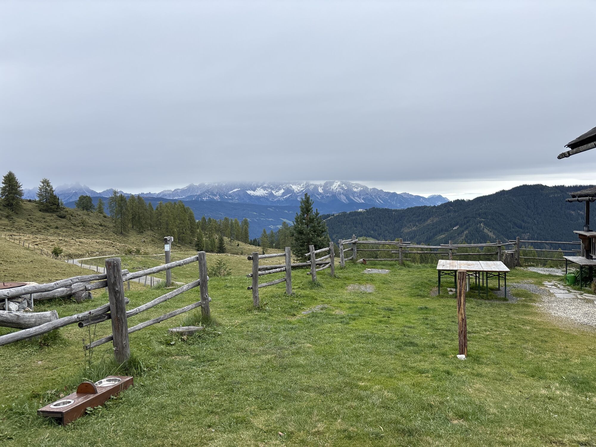
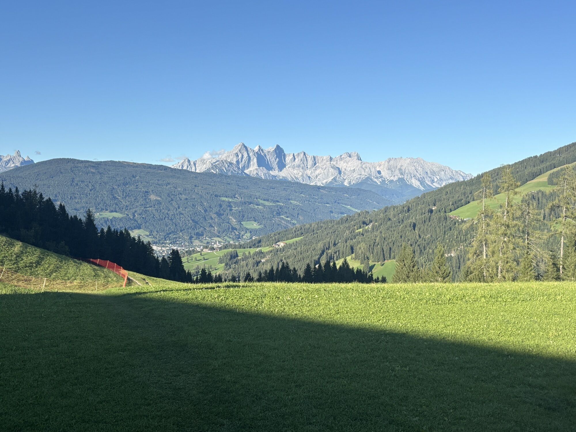

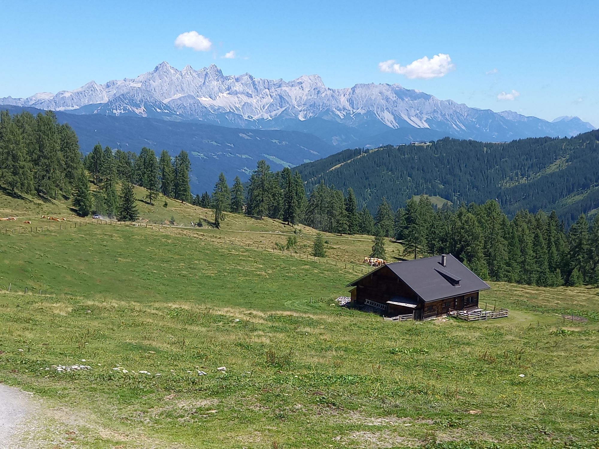
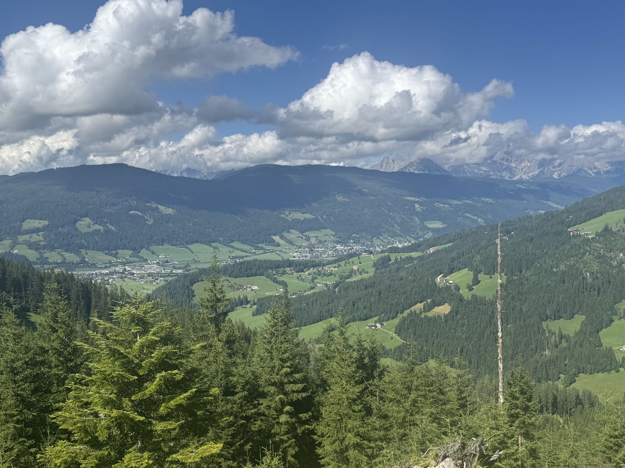
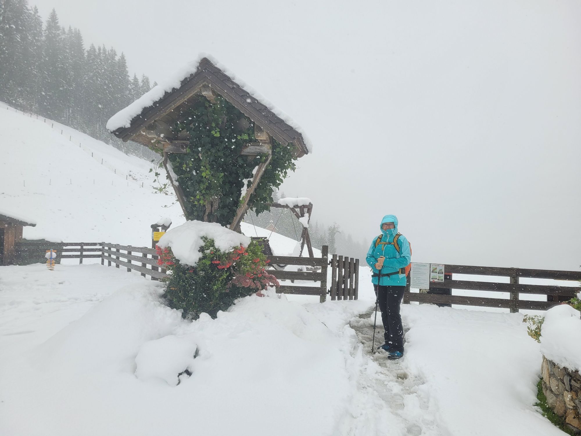
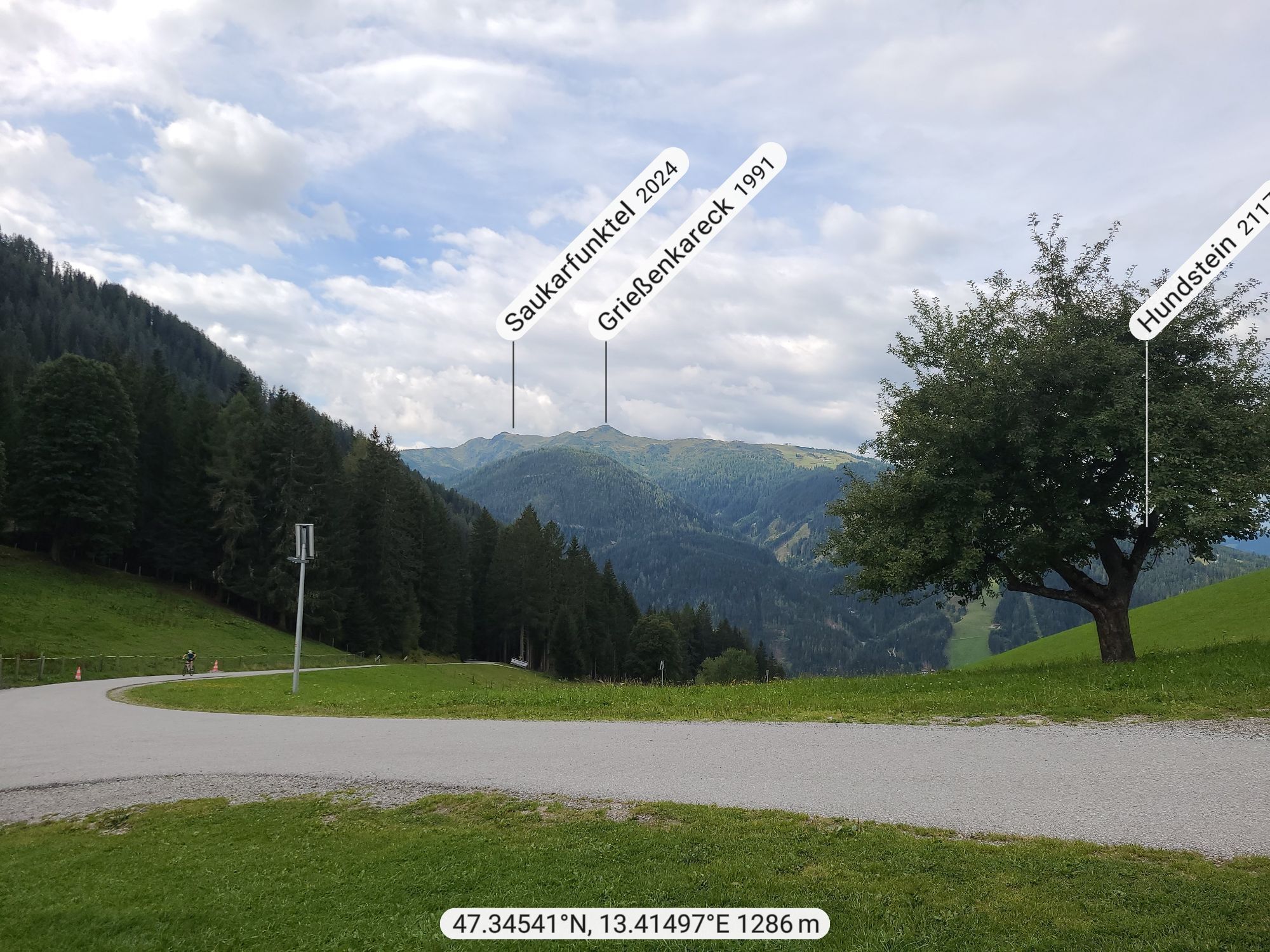
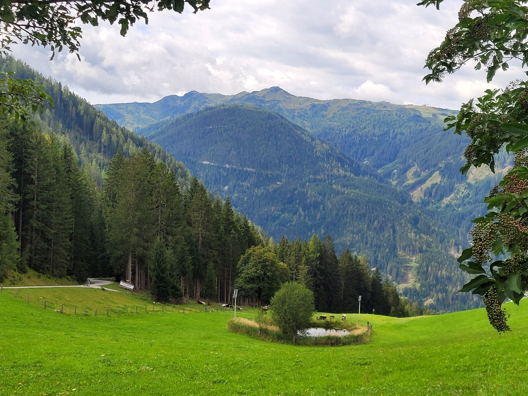
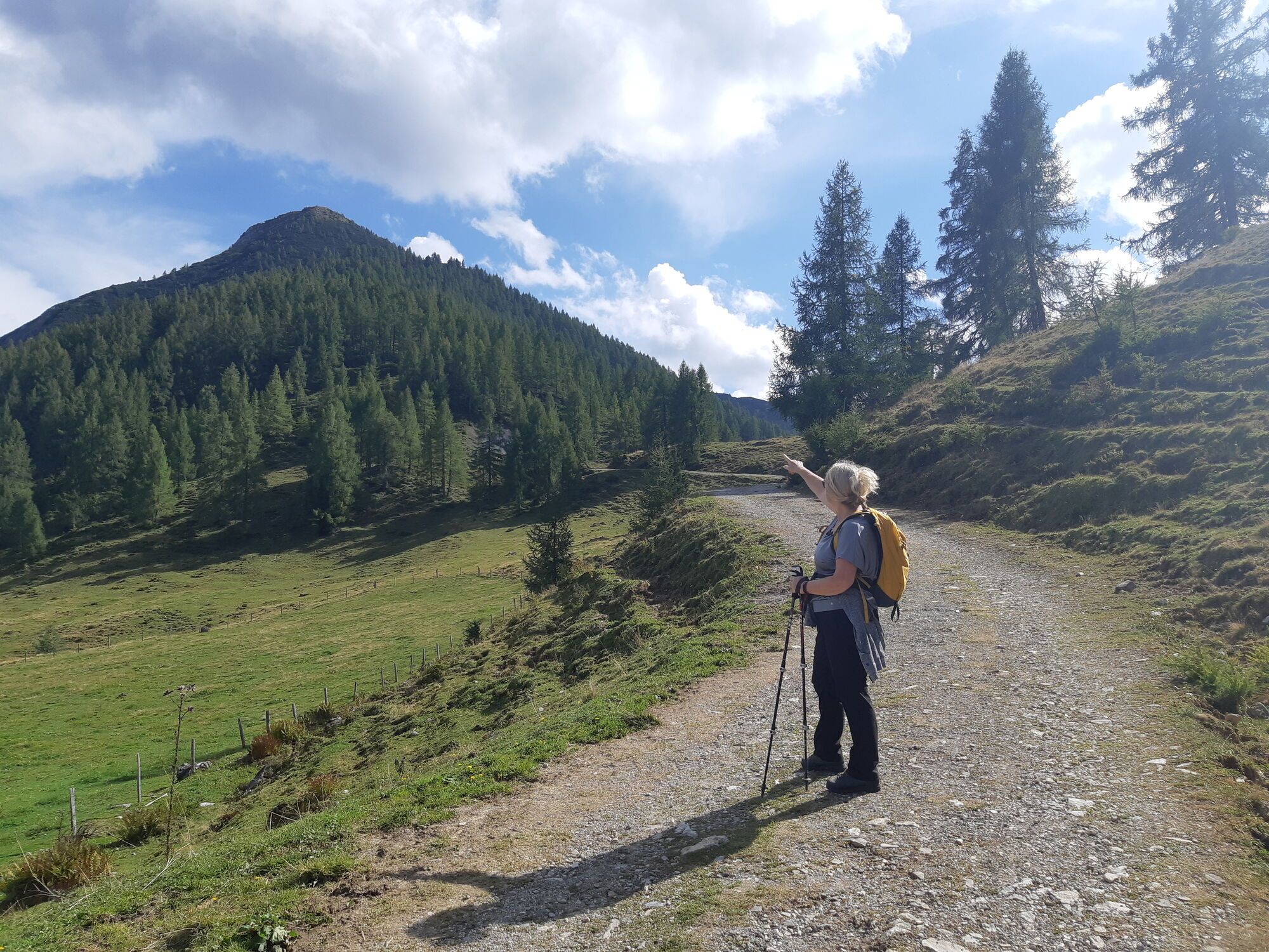
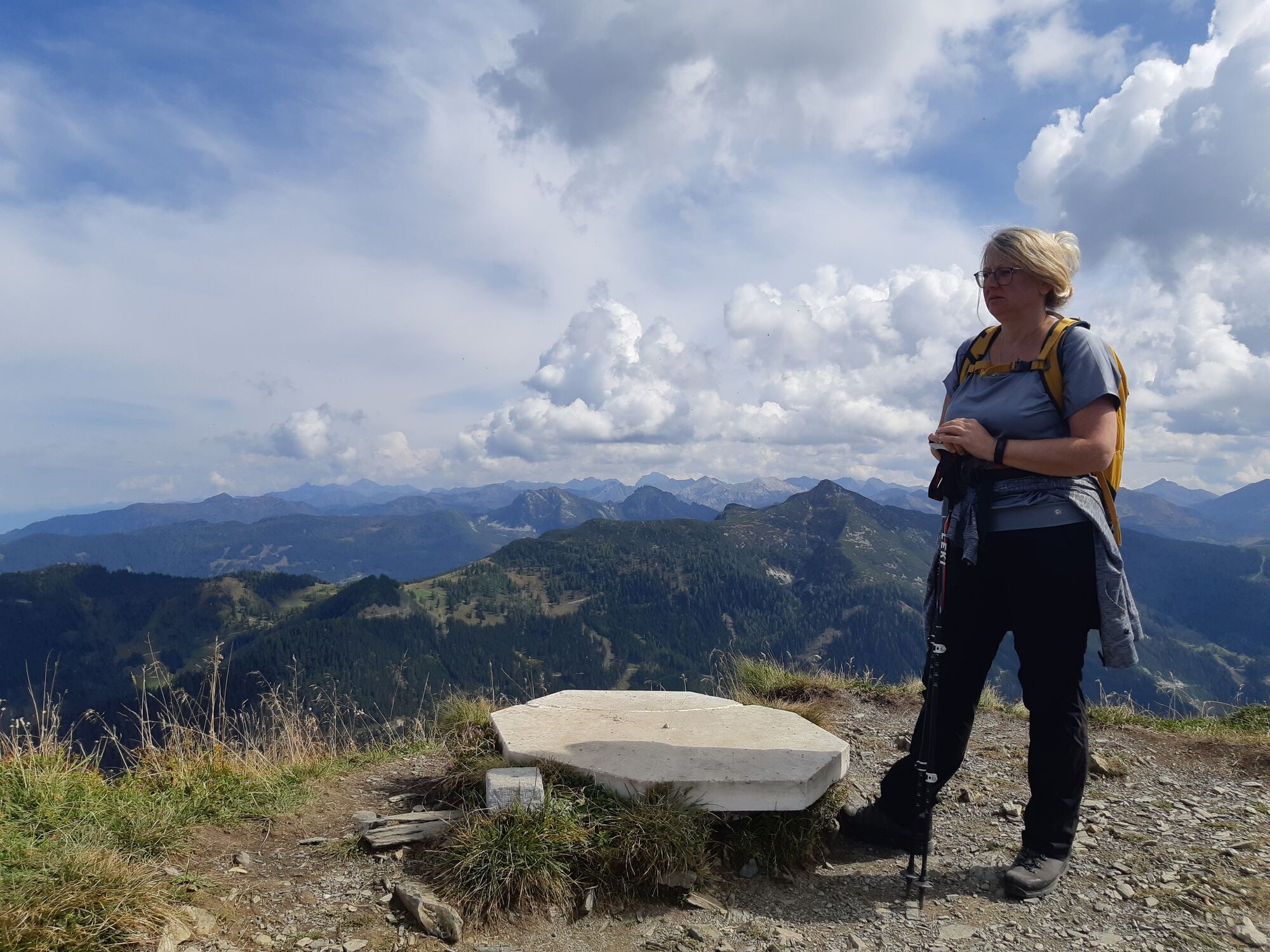
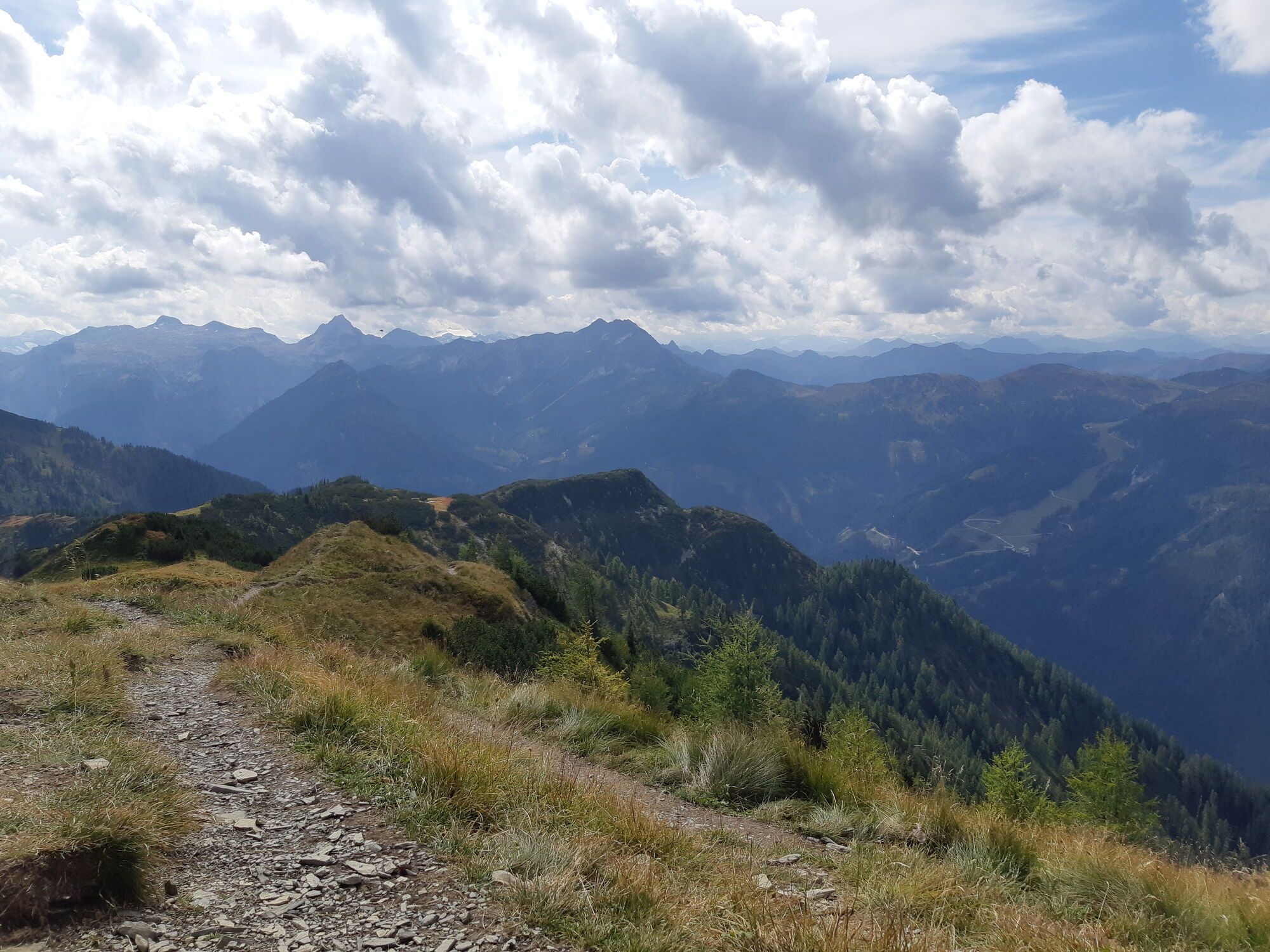
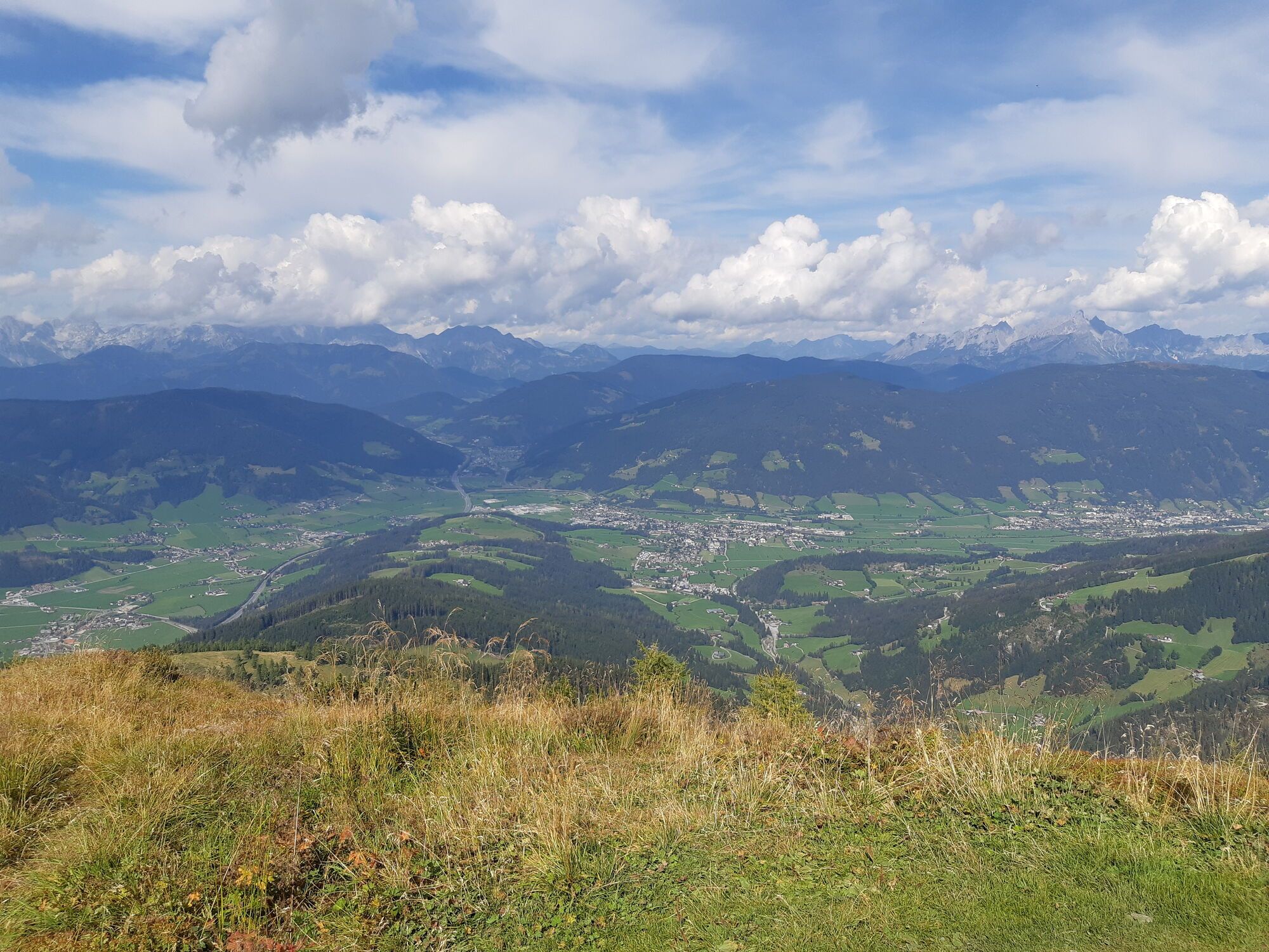
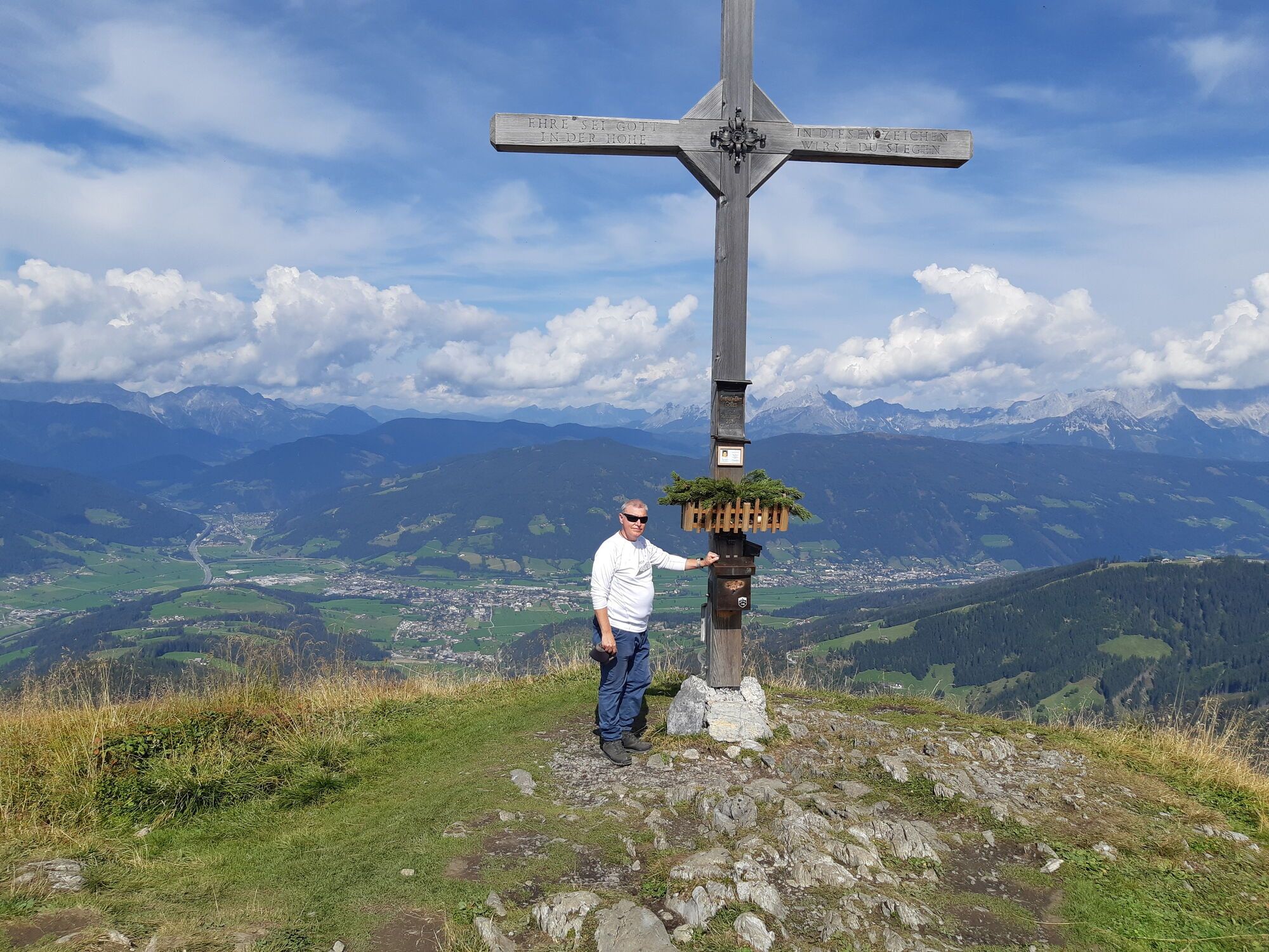
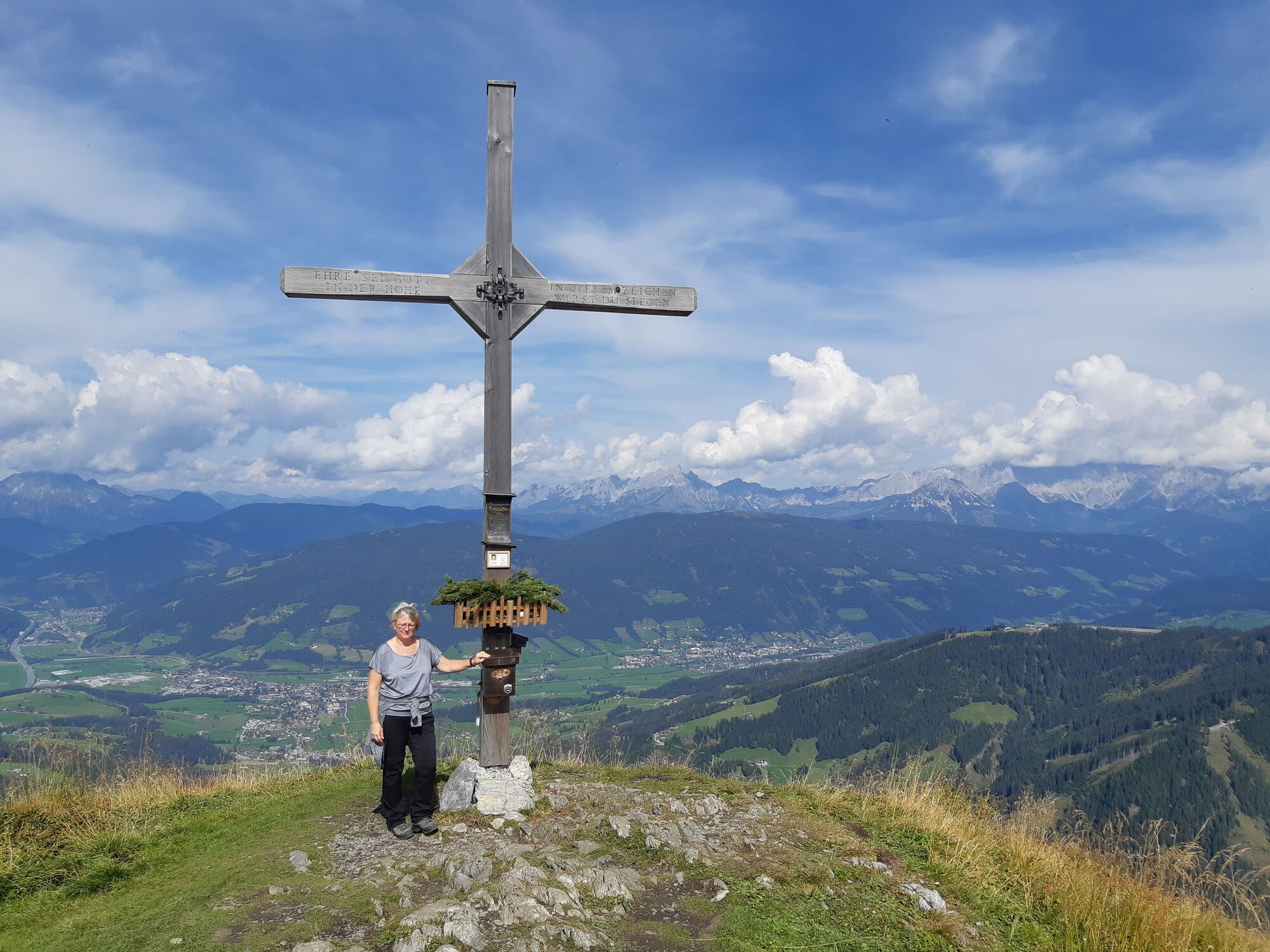
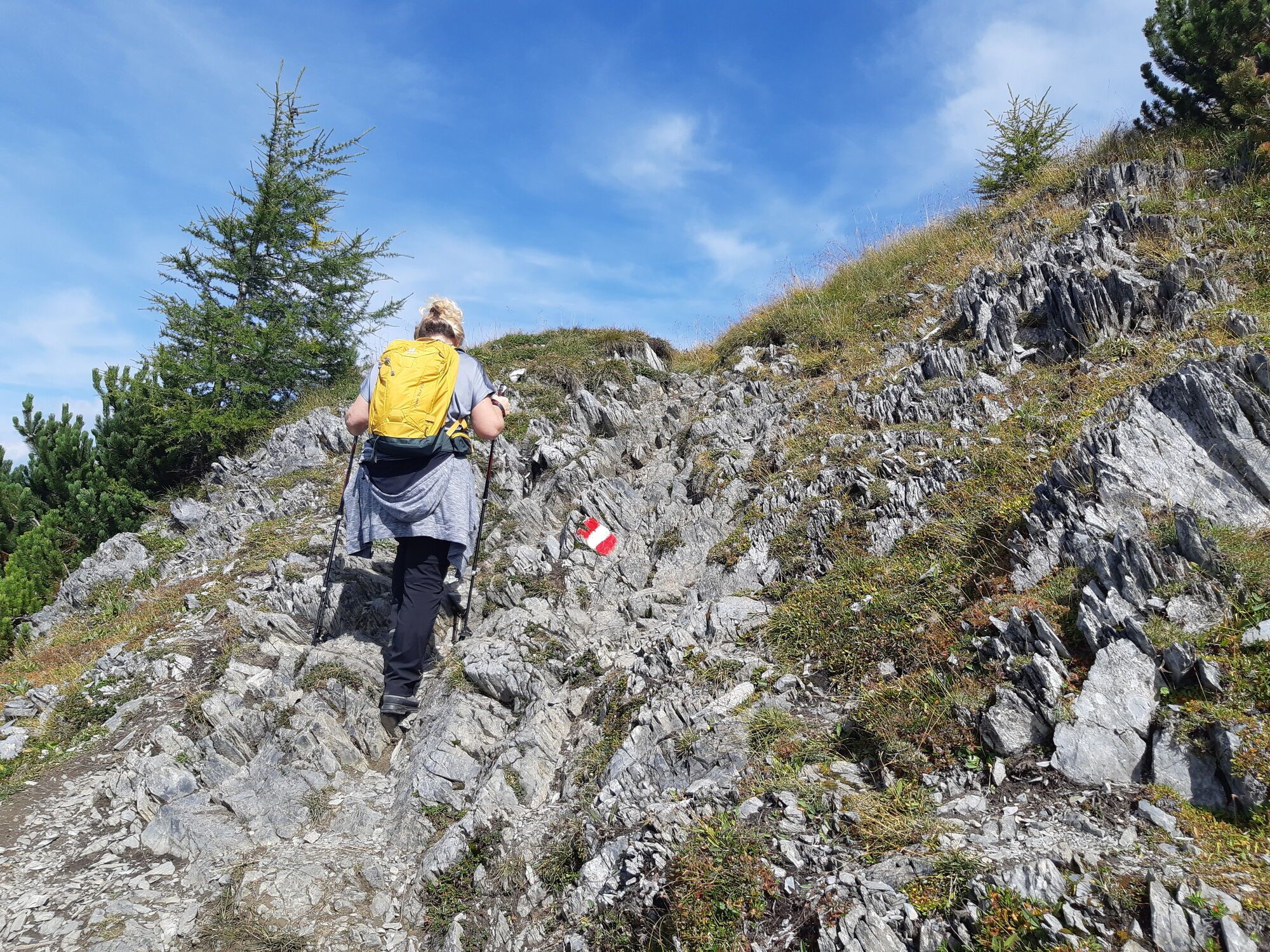
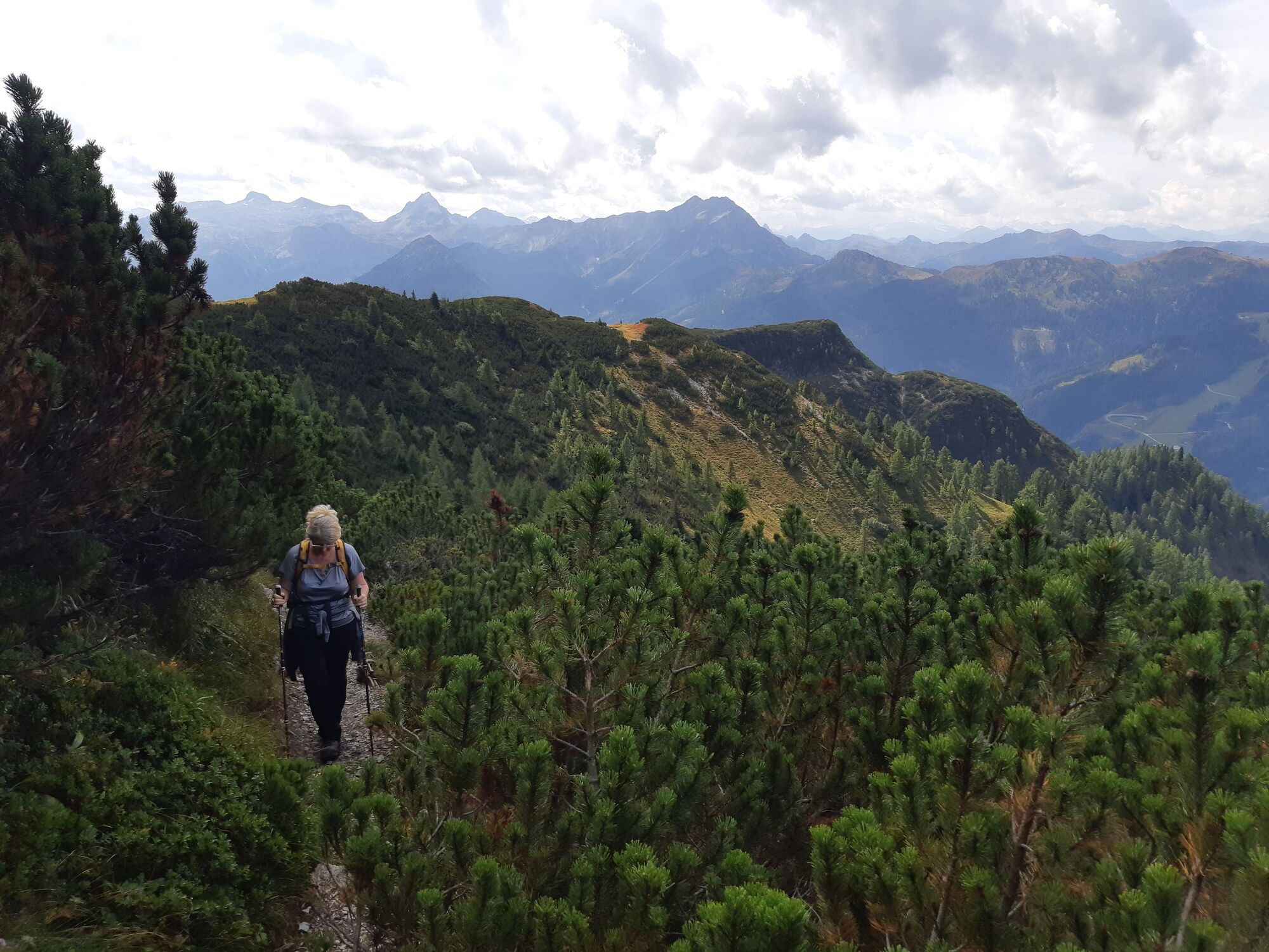
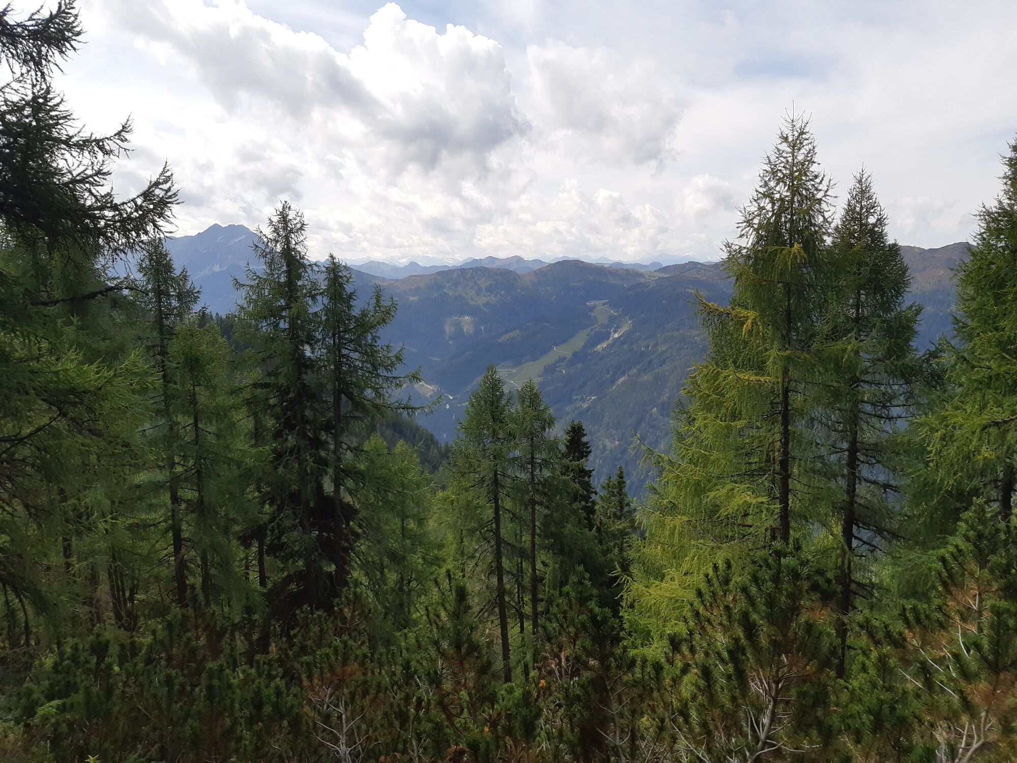
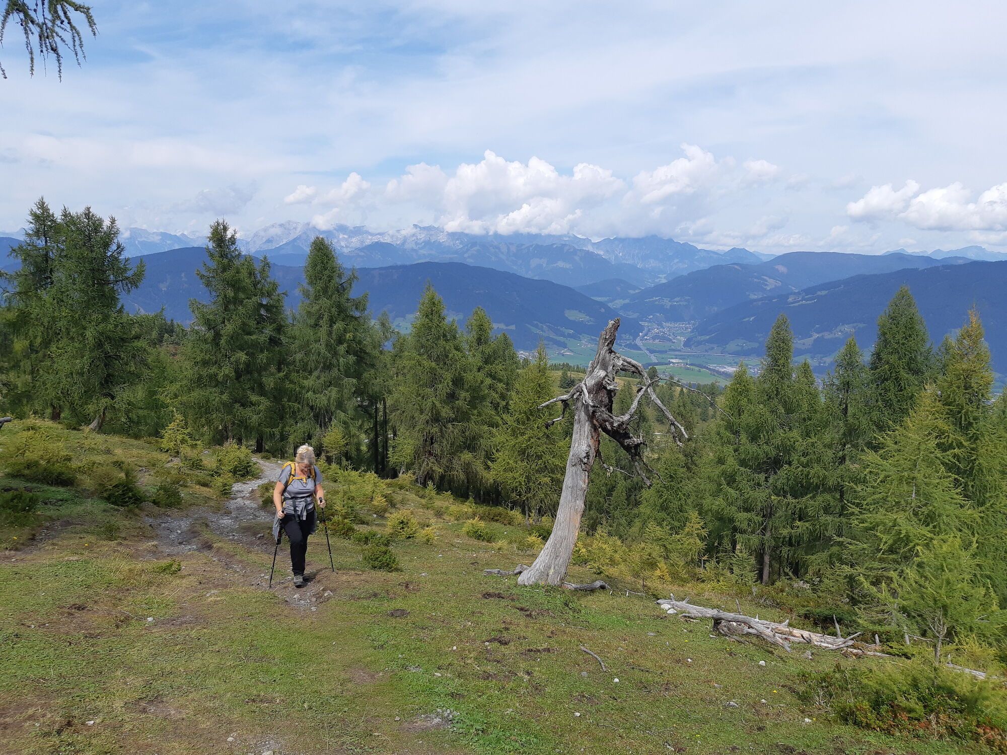
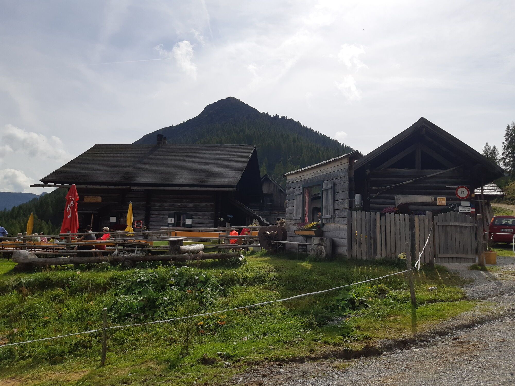
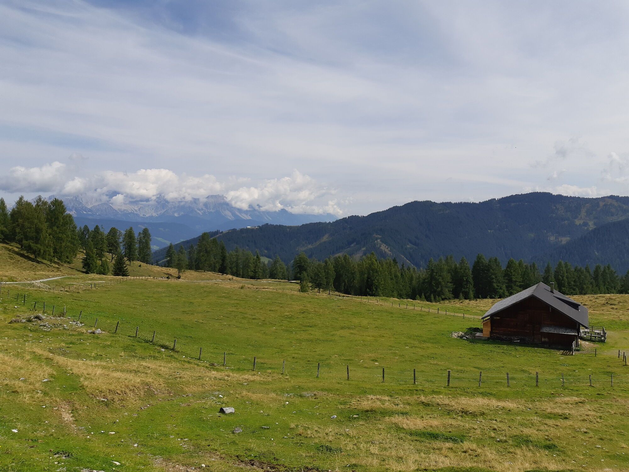
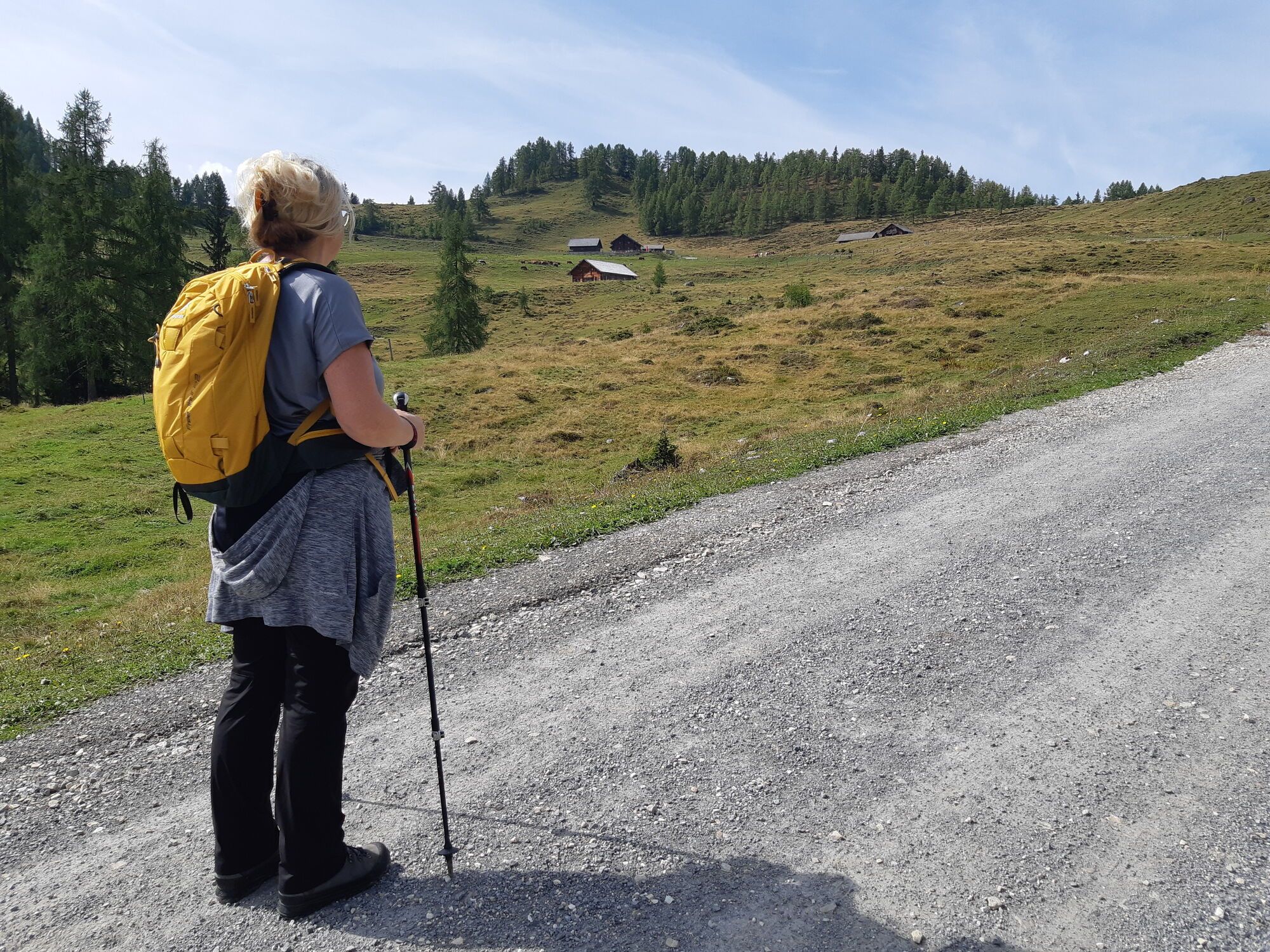
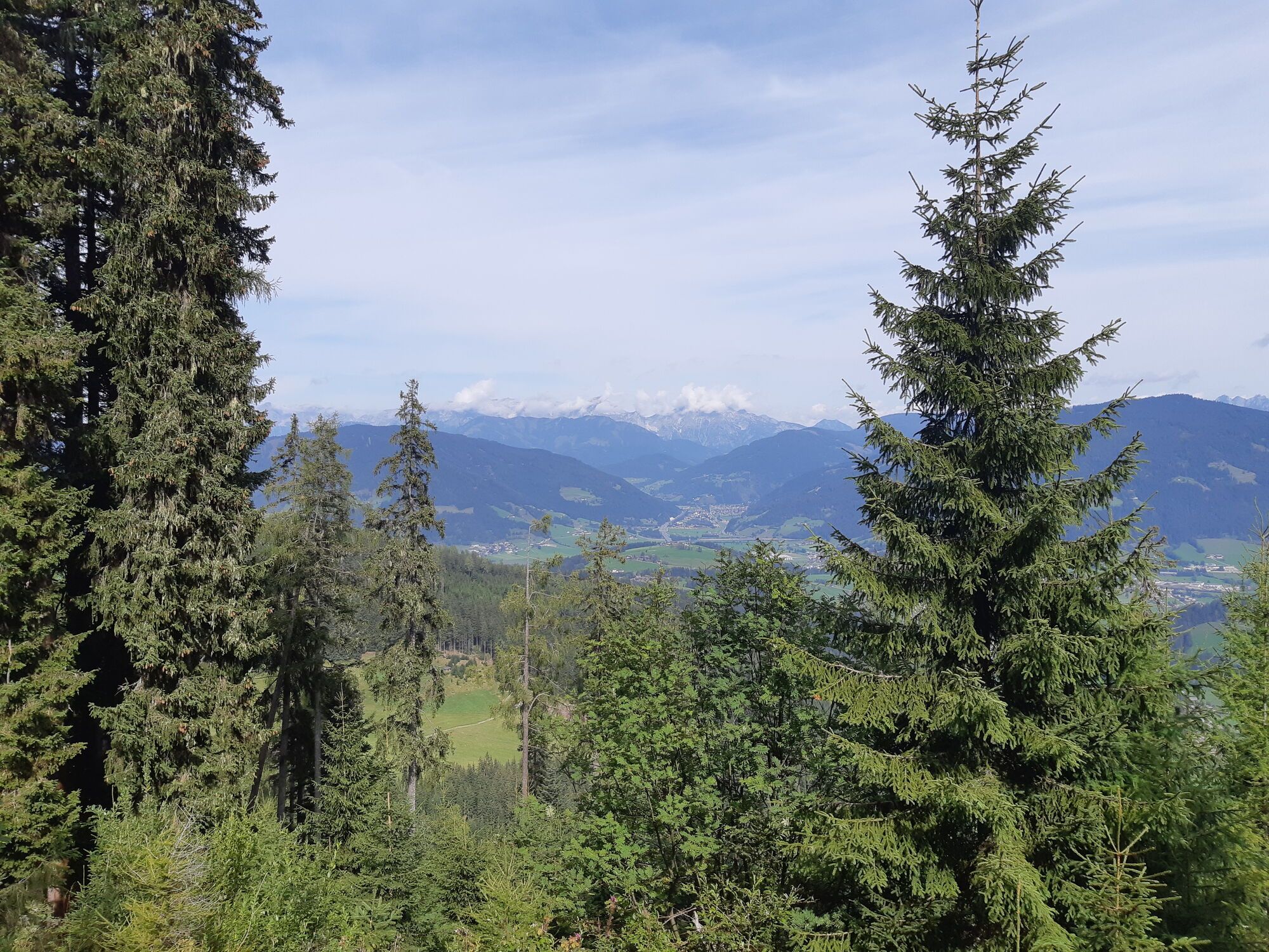
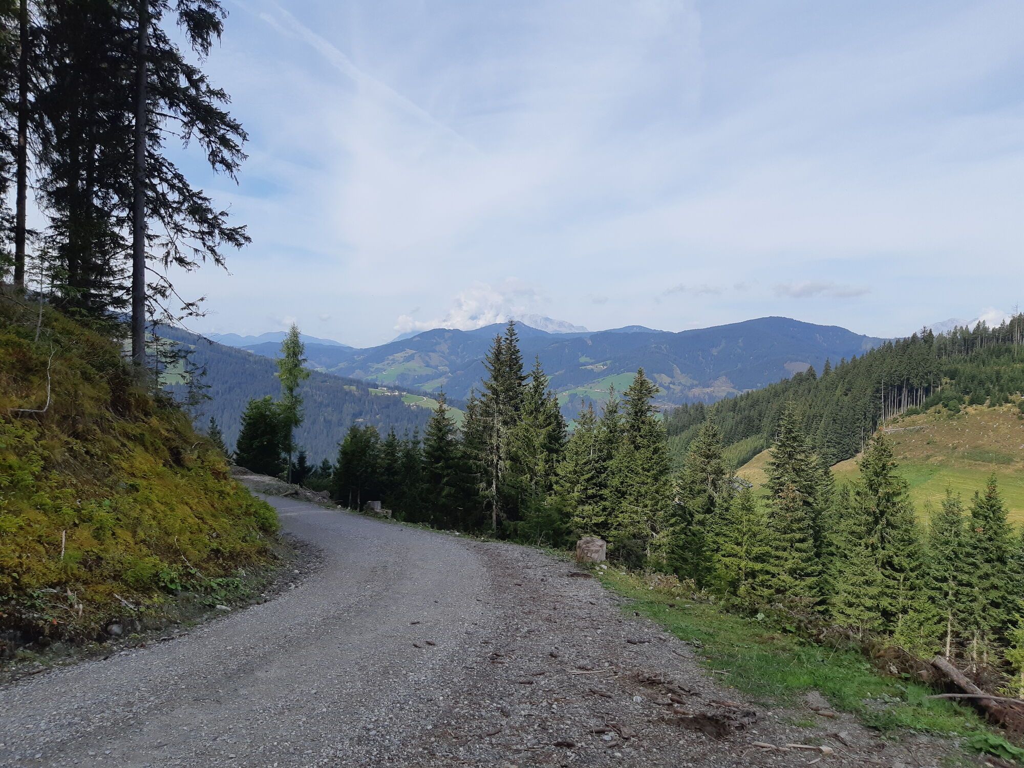
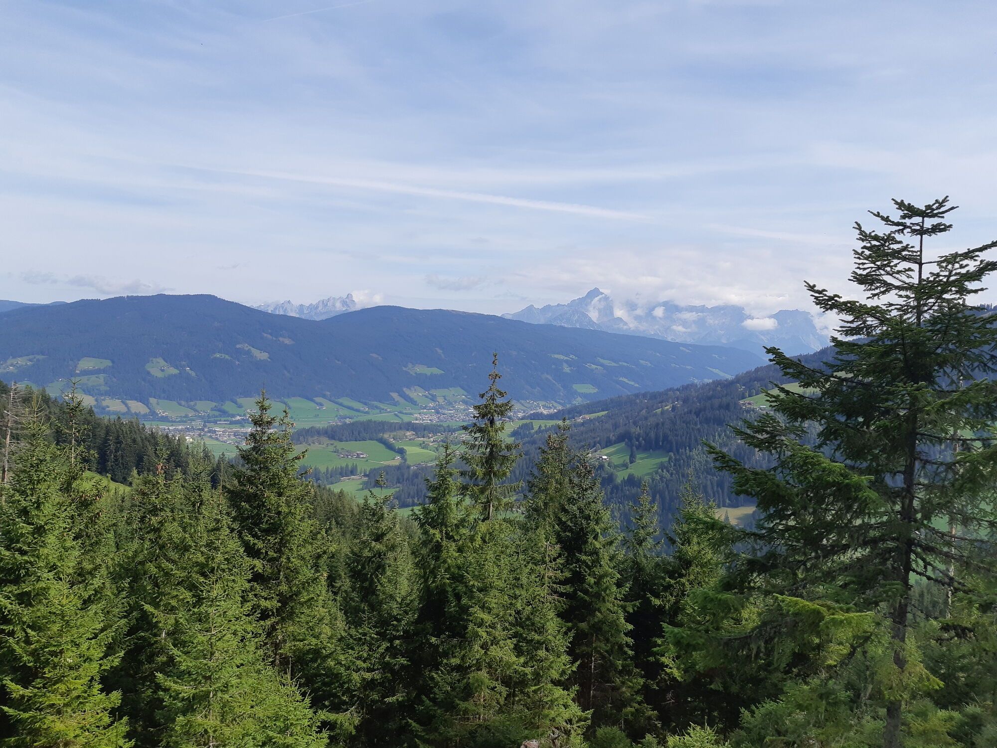
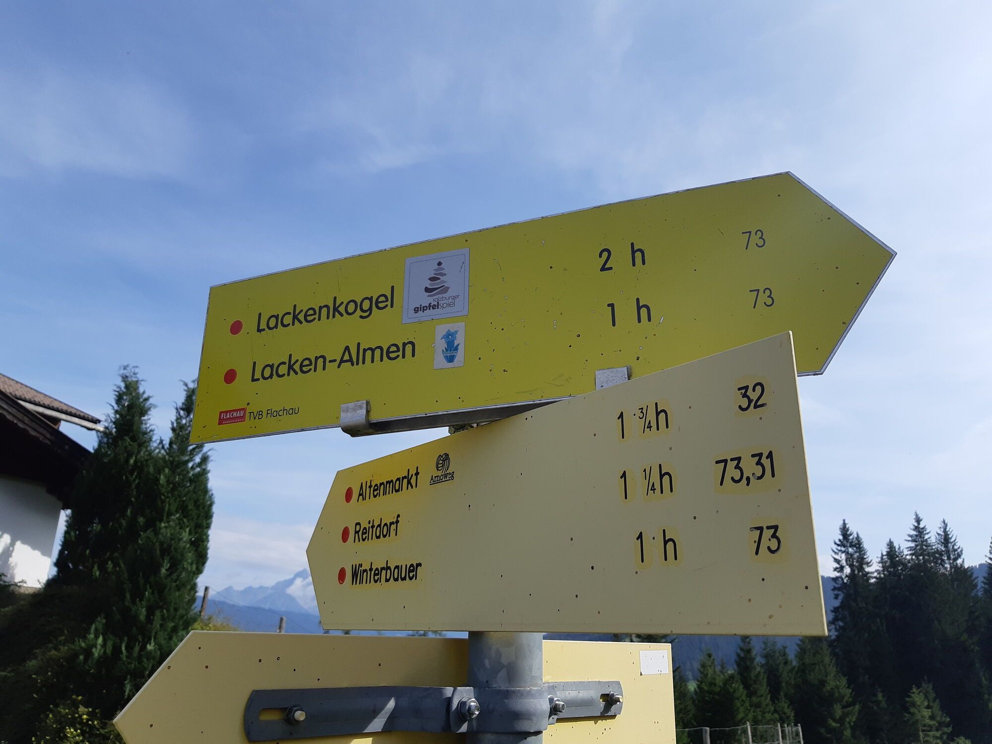
The ascent takes place mostly through forest and can be characterized as moderately difficult. Above the tree line, or from the Lackenalms, ascend in switchbacks to the peak.
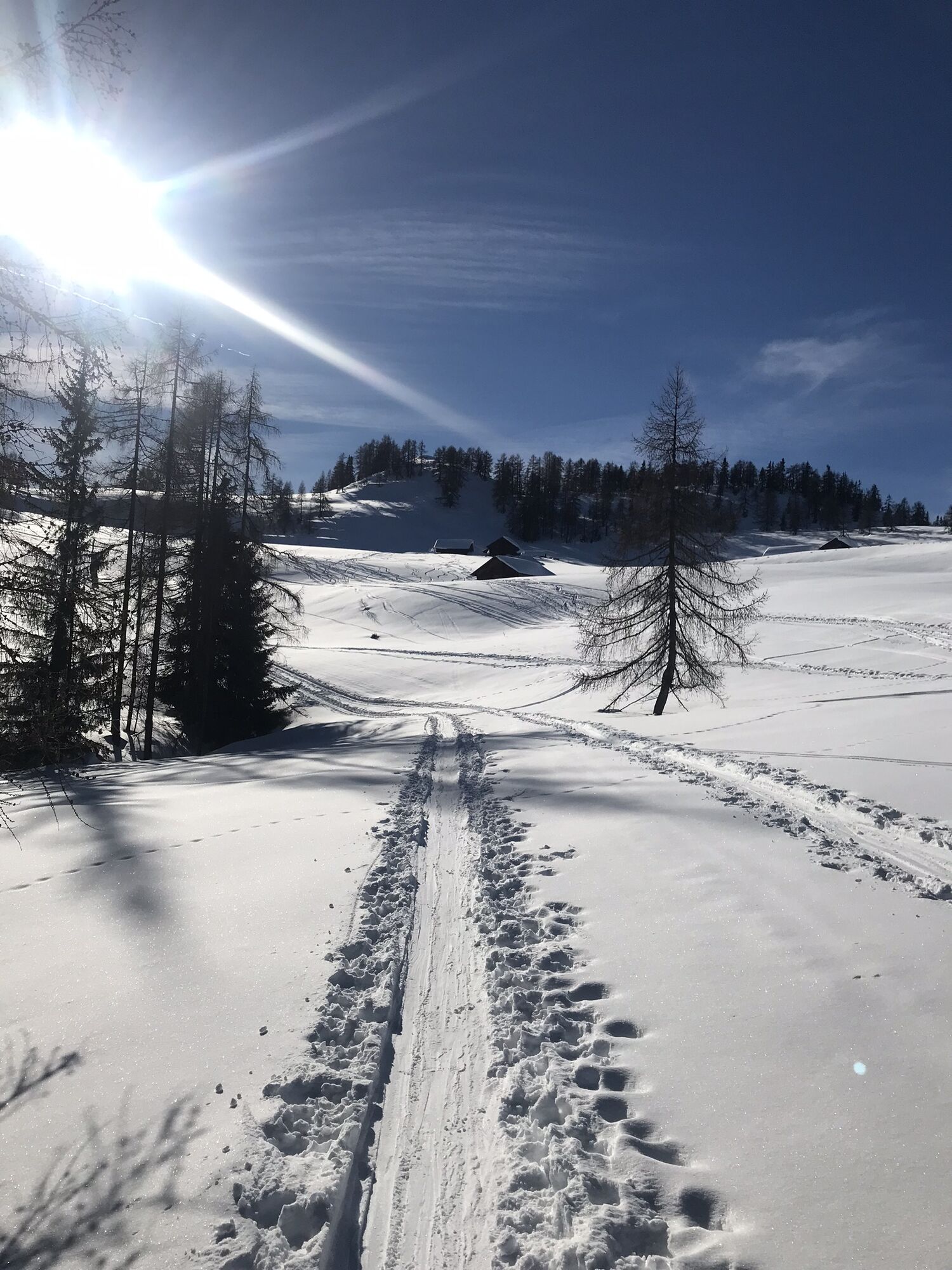
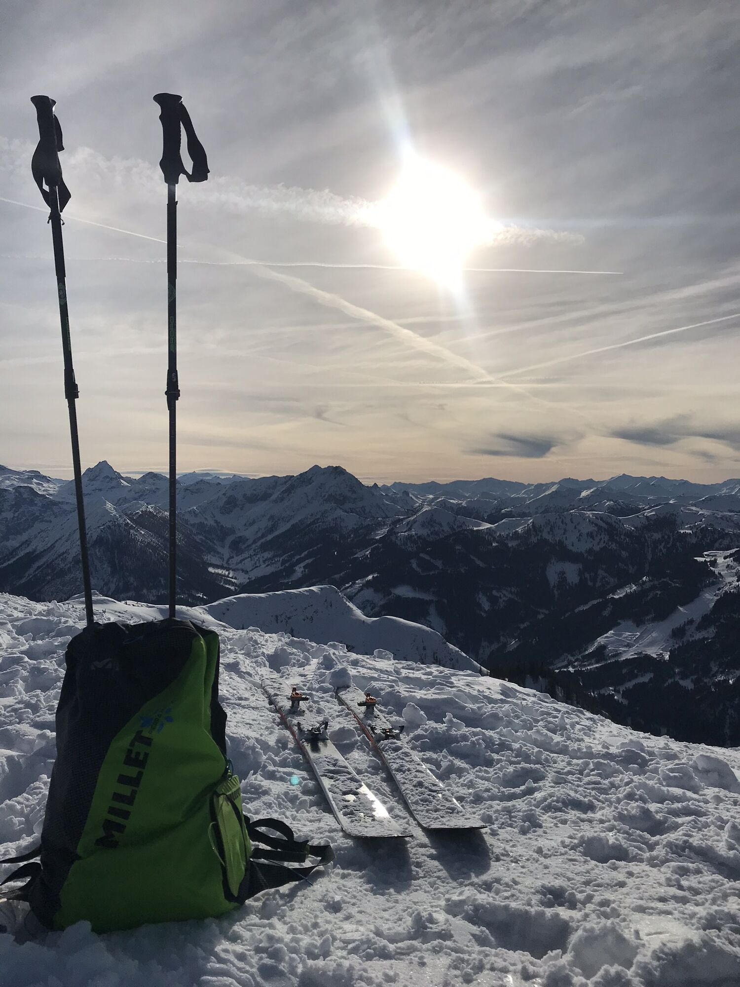
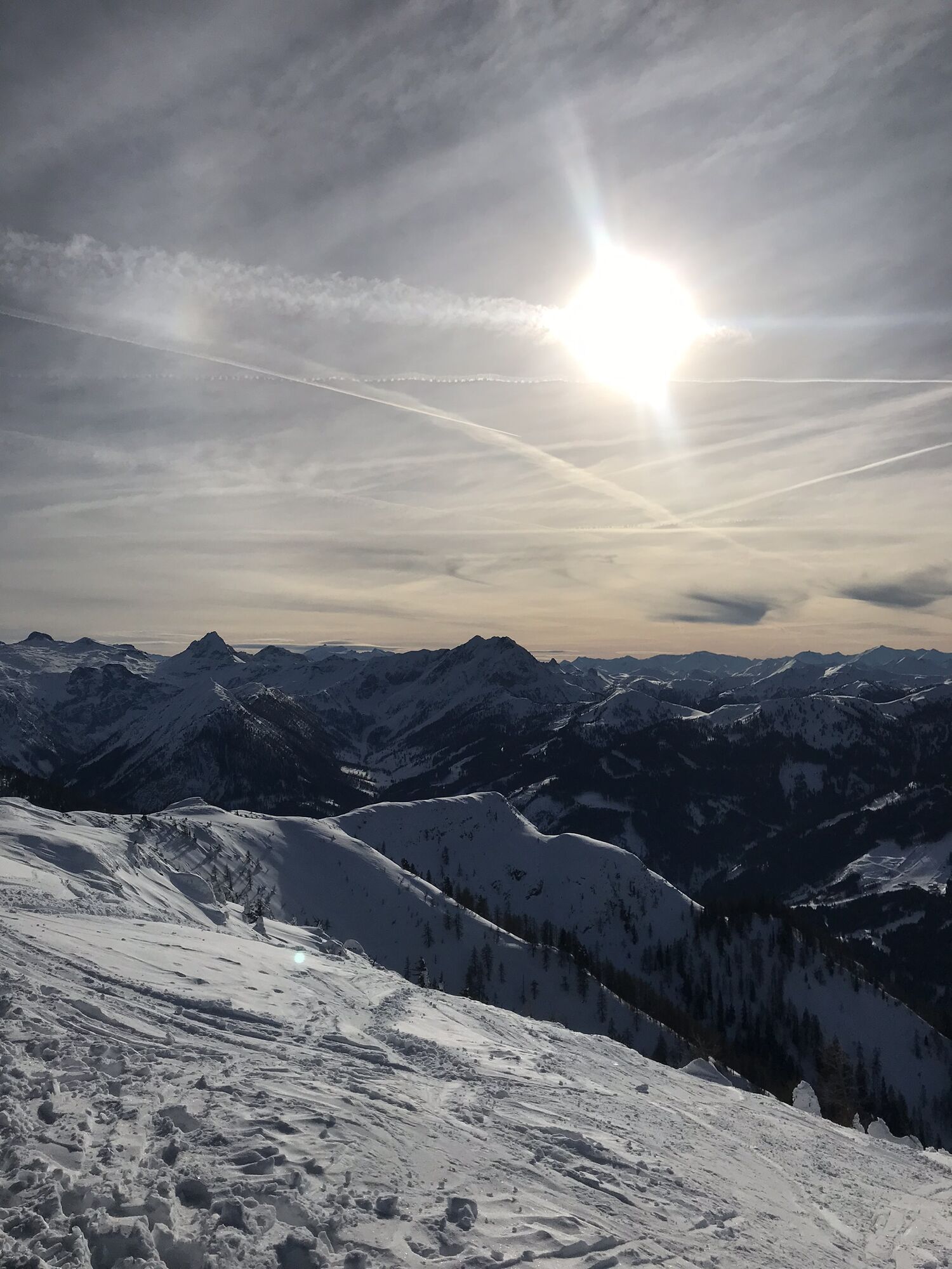
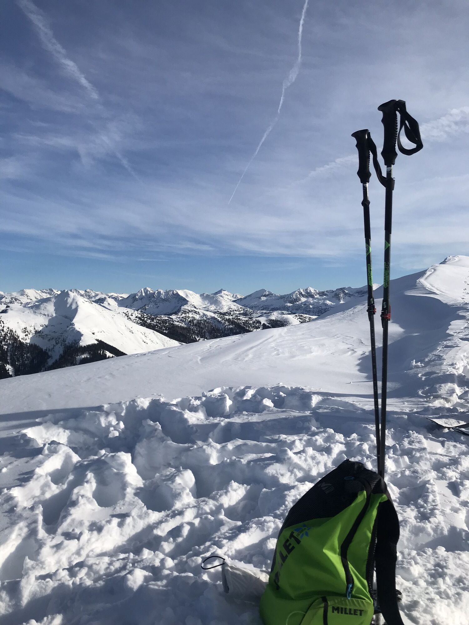
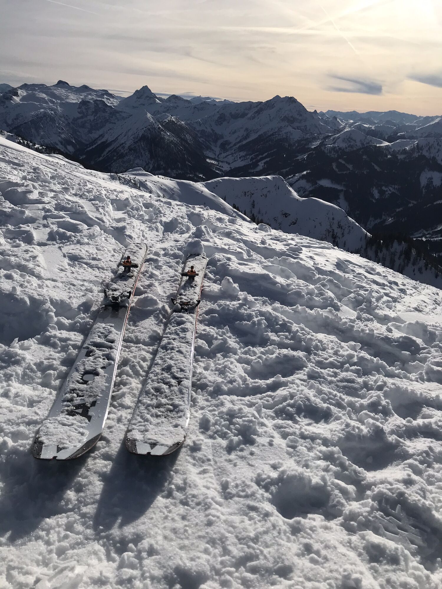
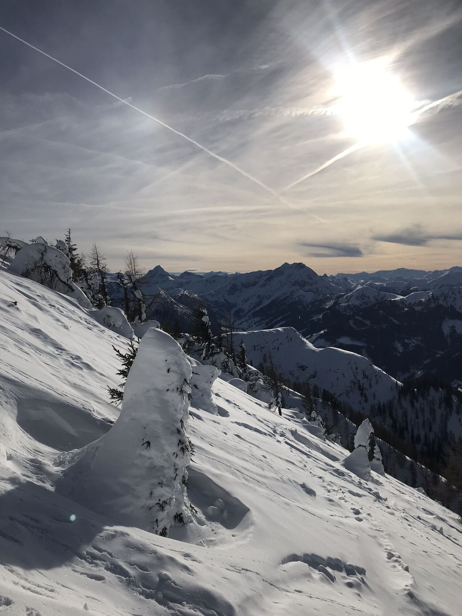

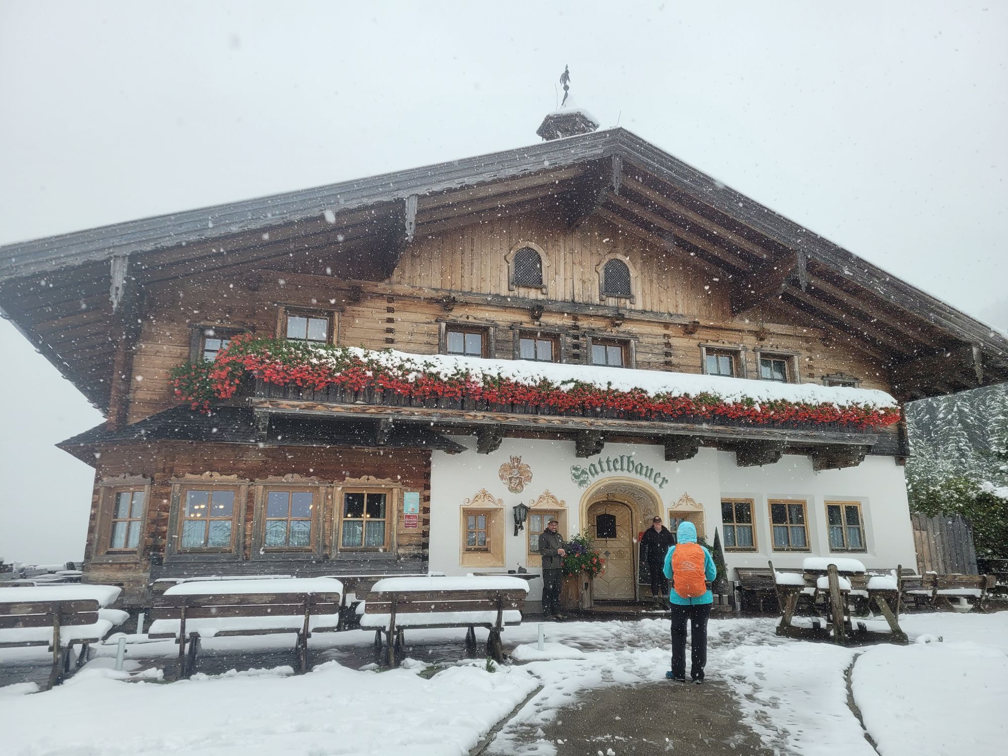
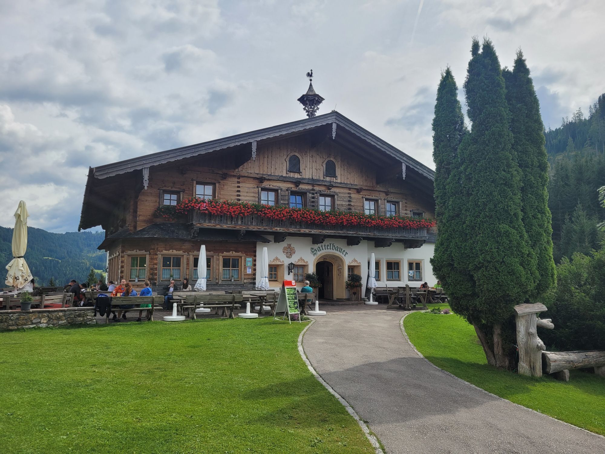
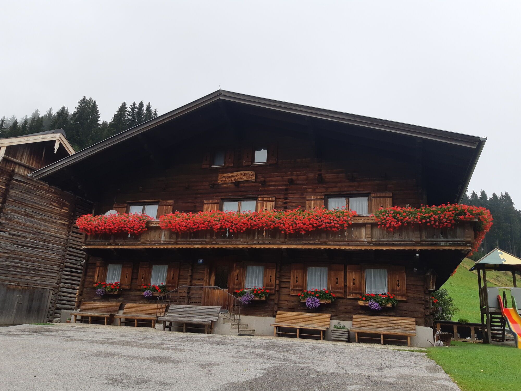
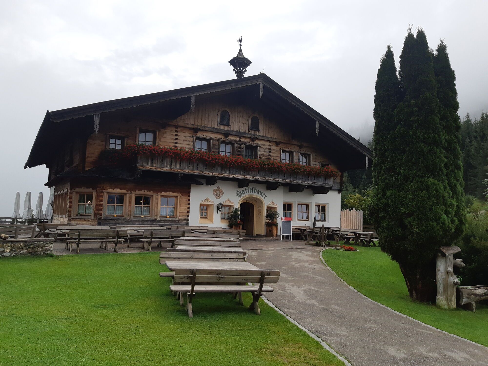
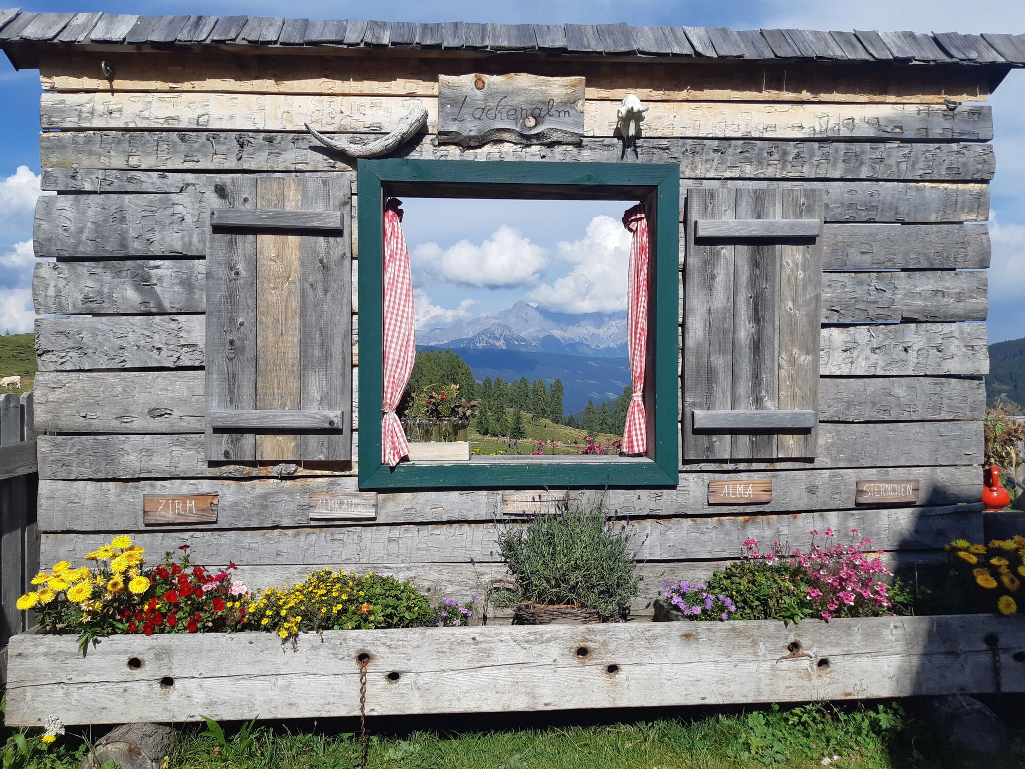
The ski route starts at the Sattelbauer parking lot. From there, go through the forest, following the hiking trail up to the Lackenalms. Past the alm, continue along the ridge to the summit. Panorama view included. The descent follows the same path as the ascent.
Áno
Áno
AVALANCHE transceiver equipment, mobile phone, topographic map, multi-layer clothing, change of clothes, sunscreen, sunglasses, snack.
The route is undertaken entirely at your own risk. Local conditions must be strictly observed.
Please note the current avalanche report
Before starting a route, you should inform someone in the valley of your destination and expected return time. Carrying an avalanche transceiver is strongly recommended.
Avalanche danger scale
1 (LOW)
An avalanche release is only possible under significant additional load on very few, extreme steep slopes. No spontaneous avalanches (so-called slides) are expected. Generally safe conditions.
2 (MODERATE)
An avalanche release is likely under significant additional load mainly on the specified steep slopes. Larger avalanches are not expected. The snowpack is generally well consolidated, except on some steep slopes. Careful route selection on the specified steep slopes and aspects.
3 (CONSIDERABLE)
An avalanche release is probable even with low additional load mainly on the specified steep slopes. Occasionally some medium, occasionally also large avalanches are possible spontaneously. The snowpack is moderately to weakly consolidated on many steep slopes. Experience in avalanche assessment is necessary. Avoid the specified steep slopes and aspects as much as possible.
4 (HIGH)
An avalanche release is possible even with low additional load mainly on the specified steep slopes. Many medium, several large avalanches can occur. On many steep slopes, the snowpack is only weakly consolidated. Limit route selection to moderately steep terrain and observe avalanche runout zones. A lot of experience in avalanche assessment is necessary.
5 (VERY HIGH)
Numerous large avalanches are expected spontaneously, even on moderately steep terrain. At this warning level, safe operation in ski areas is no longer possible. The snowpack is generally weakly consolidated and unstable. Avoid routes.
Ski route rules
Respect for nature and regulations: Observe the applicable regulations in nature and when choosing your route, such as wildlife protection areas, hunting closures, reforestation zones, and information boards. Respect for wildlife: Respect quiet zones for wildlife, avoid feeding areas, and avoid loud noises. Crossing forest areas: In winter, cross forest areas only on permitted paths and routes. Animals react very panic-stricken to unpredictable noise. Behavior towards wildlife: Recognize wildlife habitats and avoid them if possible. Observe wildlife from a safe distance. Dogs must be kept on a leash; it is irresponsible to let dogs run freely in winter. Time planning: Plan your route so that you start early enough and return before dark. In spring, you should be back at the hut by midday to minimize avalanche danger. Avoiding reforestation areas: Never travel through reforestation and young growth areas.A10 Tauern motorway exit Flachau. Through the town center, past the church towards Sattelbauer.
Free parking is available at the Berggasthof Sattelbauer.
More about ski touring in Flachau can be found at: https://www.flachau.com/winter/outdoor-winter/skitouren/
Local weather info: https://www.flachau.com/live/ or www.zamg.ac.at



Webové kamery z prehliadky

Aktivity počas prehliadky
-

Altenmarkt im Pongau, Salzburg/Österreich
27.09.2026 – Turistika -

Flachau, Salzburg/Österreich
26.09.2026 – Turistika -
Flachau, Salzburg/Österreich
20.09.2026 – Turistika -
Flachau, Salzburg/Österreich
16.09.2026 – Turistika -
Altenmarkt im Pongau, Salzburg/Österreich
15.09.2026 – Turistika -
Altenmarkt im Pongau, Salzburg/Österreich
15.09.2026 – Turistika -
Altenmarkt im Pongau, Salzburg/Österreich
19.08.2026 – Turistika -
Altenmarkt im Pongau, Salzburg/Österreich
16.08.2026 – Turistika -

Altenmarkt im Pongau, Salzburg/Österreich
15.08.2026 – Turistika -
Flachau, Salzburg/Österreich
15.08.2026 – Turistika -

Lackenkogel,Flachau, Salzburg/Österreich
12.08.2026 – Turistika -

Altenmarkt im Pongau, Salzburg/Österreich
09.08.2026 – Turistika -
Lackenkogel, Salzburg/Österreich
02.08.2026 – Turistika -

Flachau, Salzburg/Österreich
25.07.2026 – Turistika -
Altenmarkt im Pongau, Salzburg/Österreich
24.07.2026 – Turistika -
Altenmarkt im Pongau, Salzburg/Österreich
23.07.2026 – Turistika -

Flachau, Salzburg/Österreich
21.07.2026 – Turistika -
Flachau, Salzburg/Österreich
21.07.2026 – Turistika -
Flachau, Salzburg/Österreich
12.07.2026 – Turistika -
Lackenkogel, Salzburg/Österreich
11.07.2026 – Turistika
Obľúbené výlety v okolí
-
5,0
Strimskogel-Runde
Turistika 13 km -
4,8
Rundwanderweg von der Fallhausalm und Vögeialm übers Klamml zur Oberhütte am See
strednáTuristika 10 km -
4,9
4-Gipfel-Tour
strednáHorská turistika 6,40 km -
4,8
Obertauern to the Johannes Waterfall
strednáTuristika 9,39 km -
5,0
Großarl: Alpine pasture circuit in Ellmautal
strednáTuristika 9,69 km -
4,6
Grießenkareck
strednáTuristika 4,89 km -
3,7
Glöcknerin
strednáTuristika 9,87 km -
4,4
Ennskraxn (2410m)
ťažkéTuristika 14,7 km -
4,4
Tauernkarsee
svetloTuristika 4,26 km -
4,8
Grossarl: Gründegg
strednáTuristika 9,58 km

Turistika a stopovanie


Nenechajte si ujsť ponuky a inšpiráciu na ďalšiu dovolenku
Vaša e-mailová adresa bol pridaný do poštového zoznamu.





