


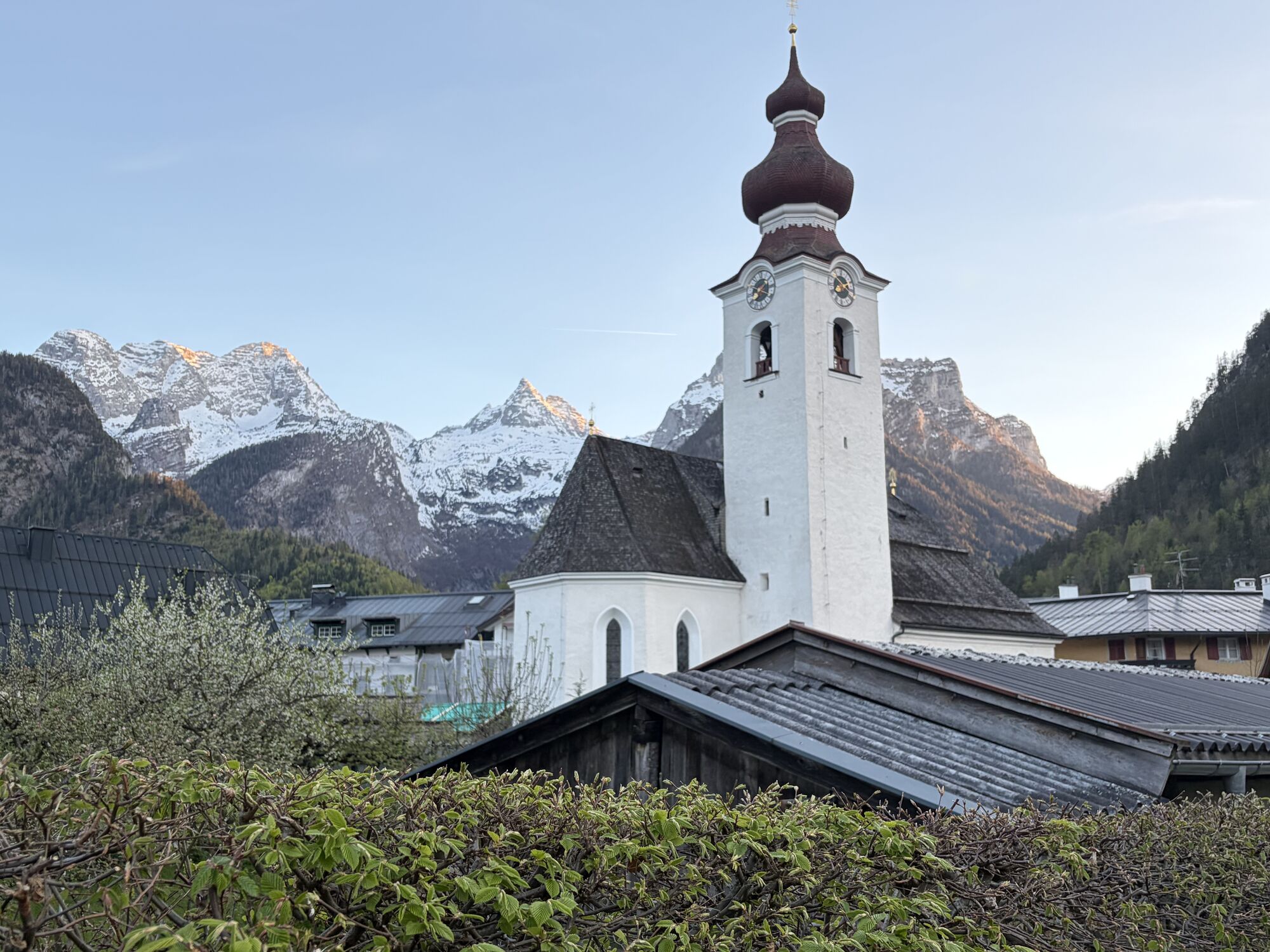
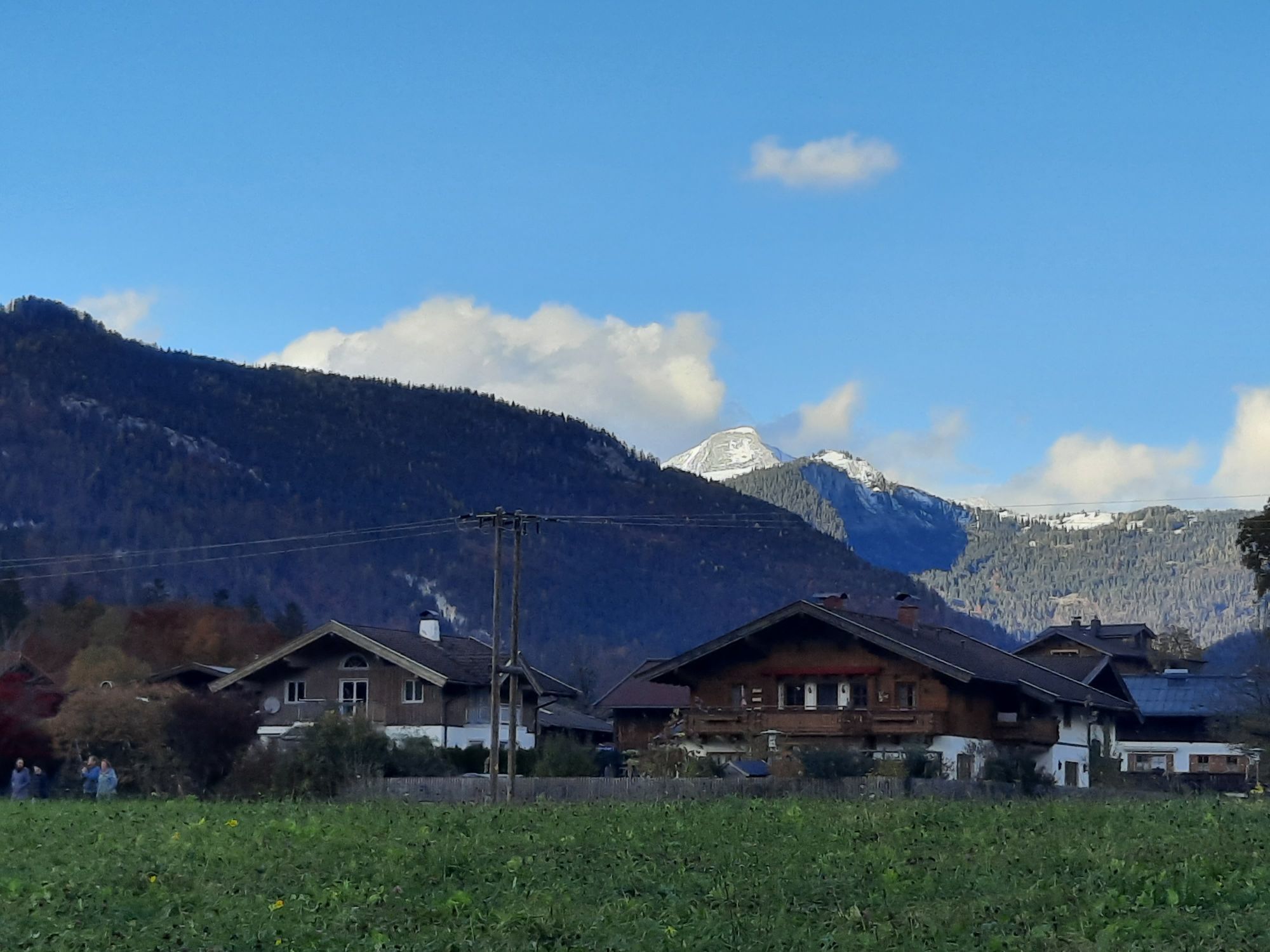
Hundalm route
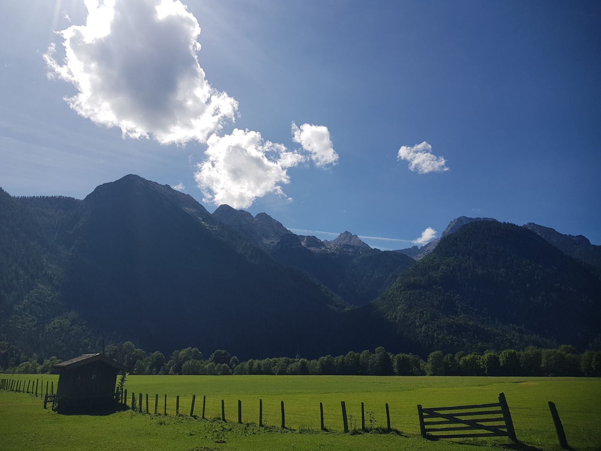
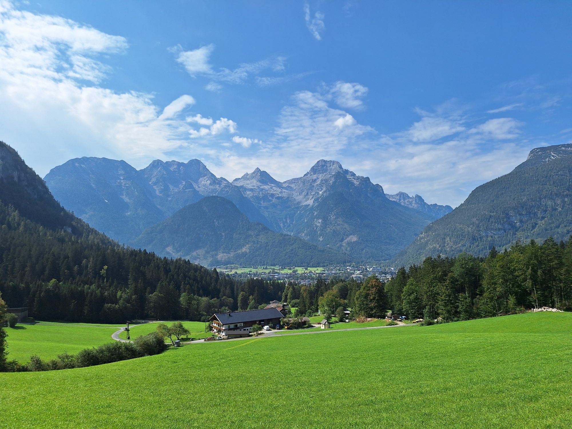
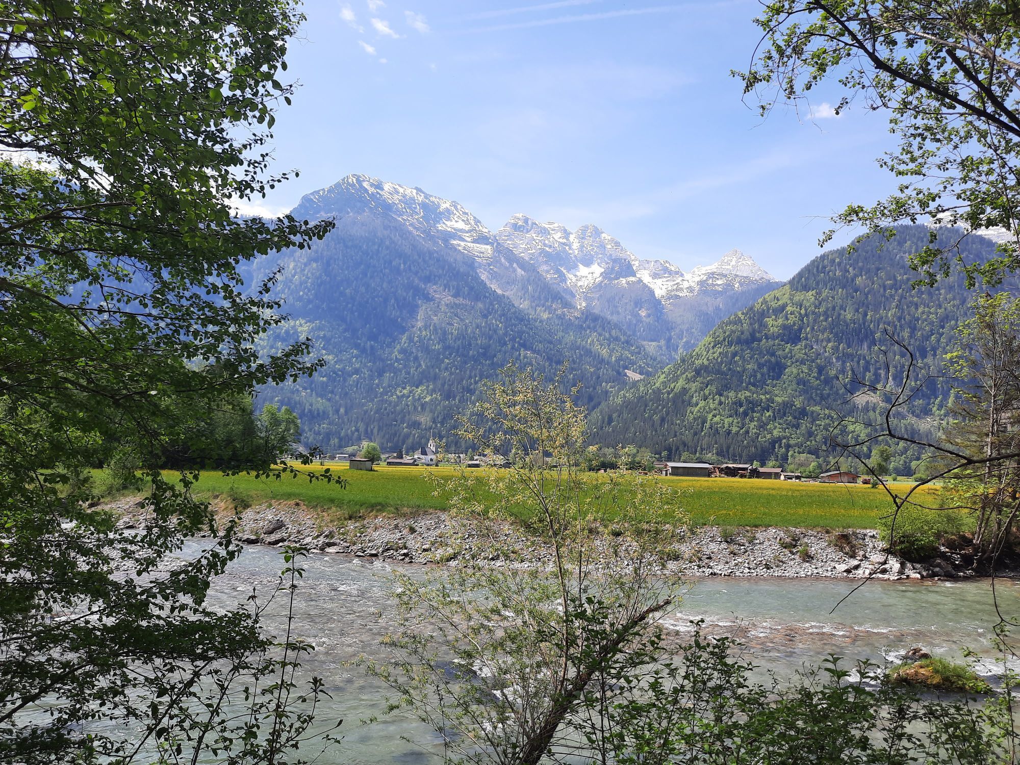
From Lofer the e-bike route goes via Scheffsnoth along the Saalach to Strohwolln. Afterwards, you turn into a 180° bend where the first climb begins. The road leads you up into the Wildental. After a short...
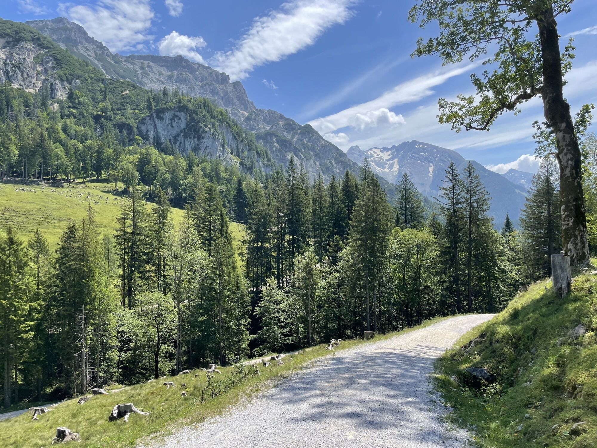
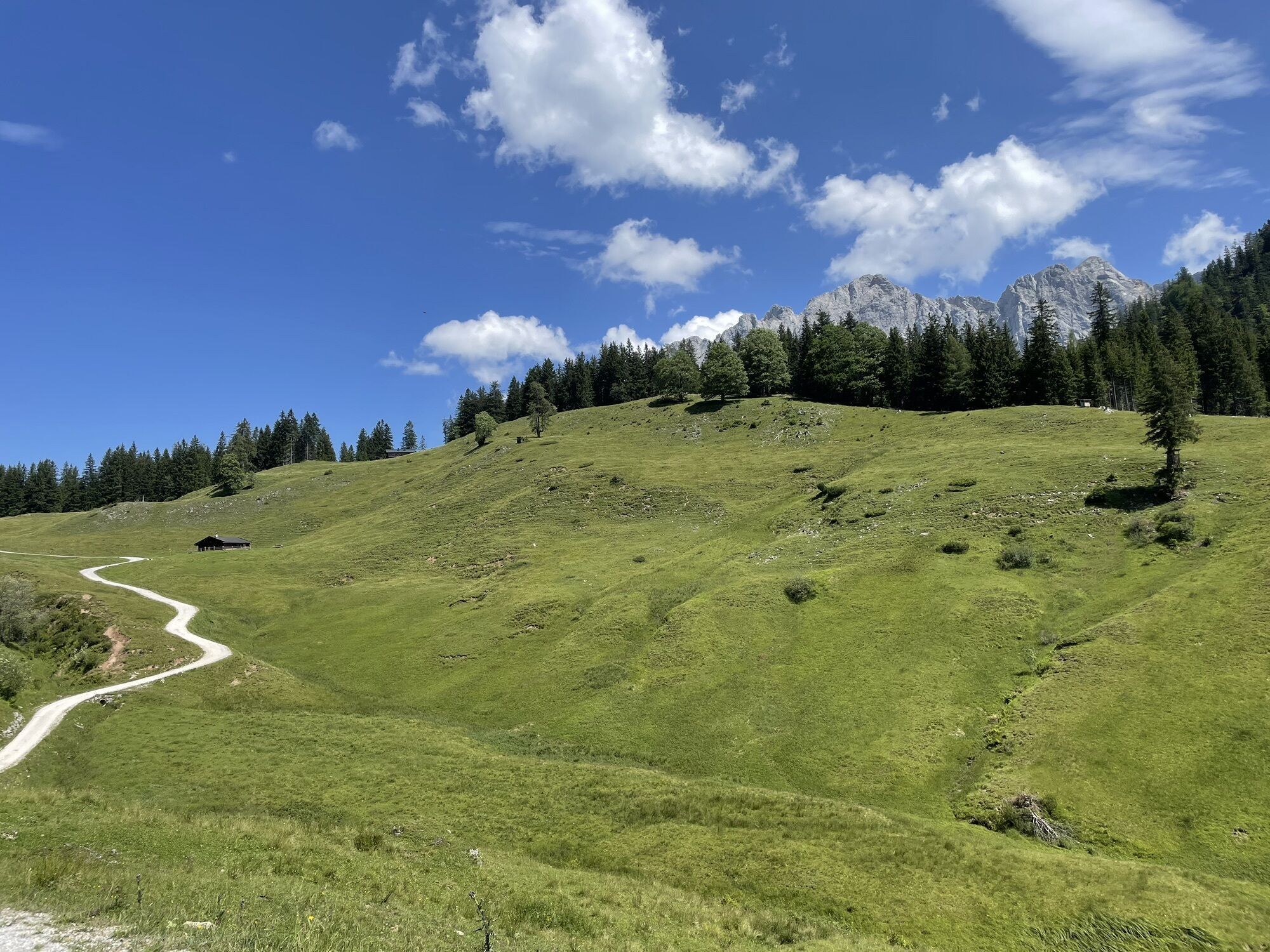
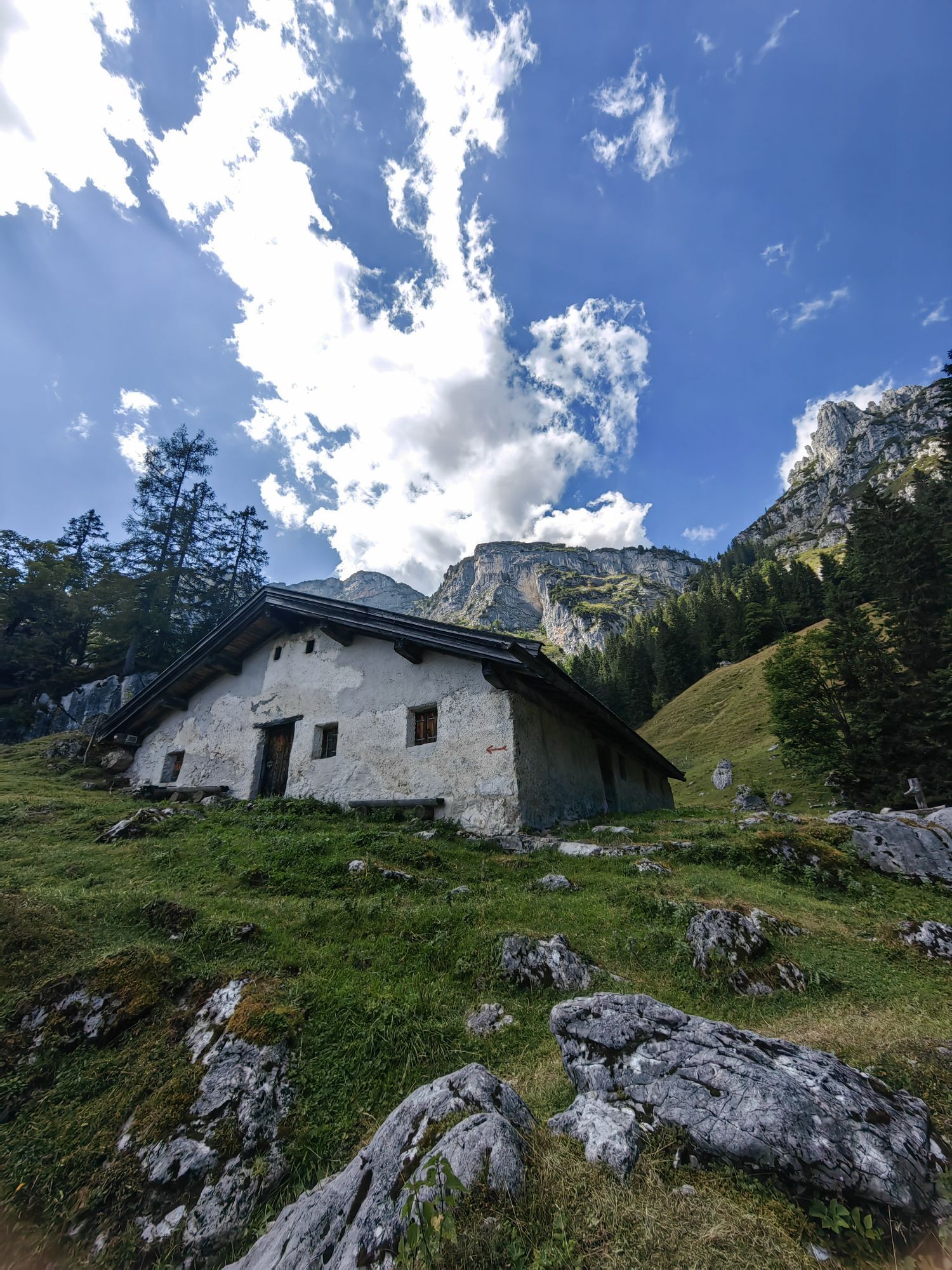
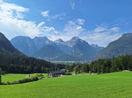
From Lofer the e-bike route goes via Scheffsnoth along the Saalach to Strohwolln. Afterwards, you turn into a 180° bend where the first climb begins. The road leads you up into the Wildental. After a short flat section it goes uphill again, past a few farms towards Hundalm, the highest point of the tour. The descent leads past the Auerweißbachalm and the Auer Wiesn back to Scheffsnoth and further to the start of the route in the center of Lofer.
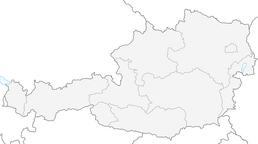
Route SASA 17 on the bike map Salzburger Saalachtal

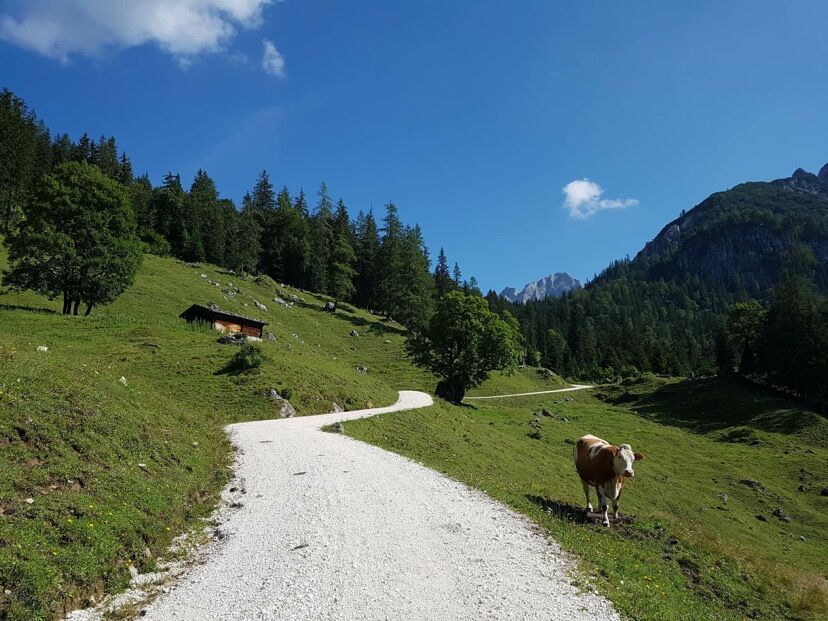
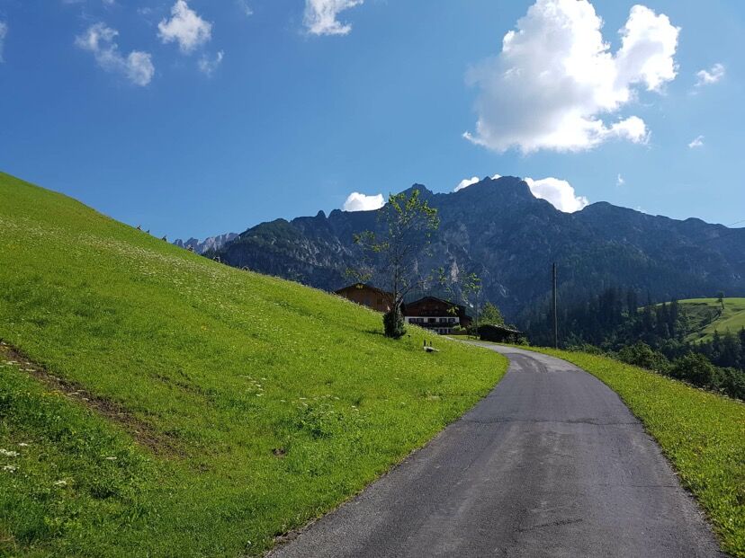
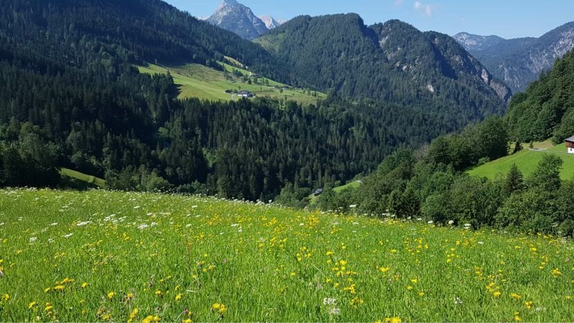

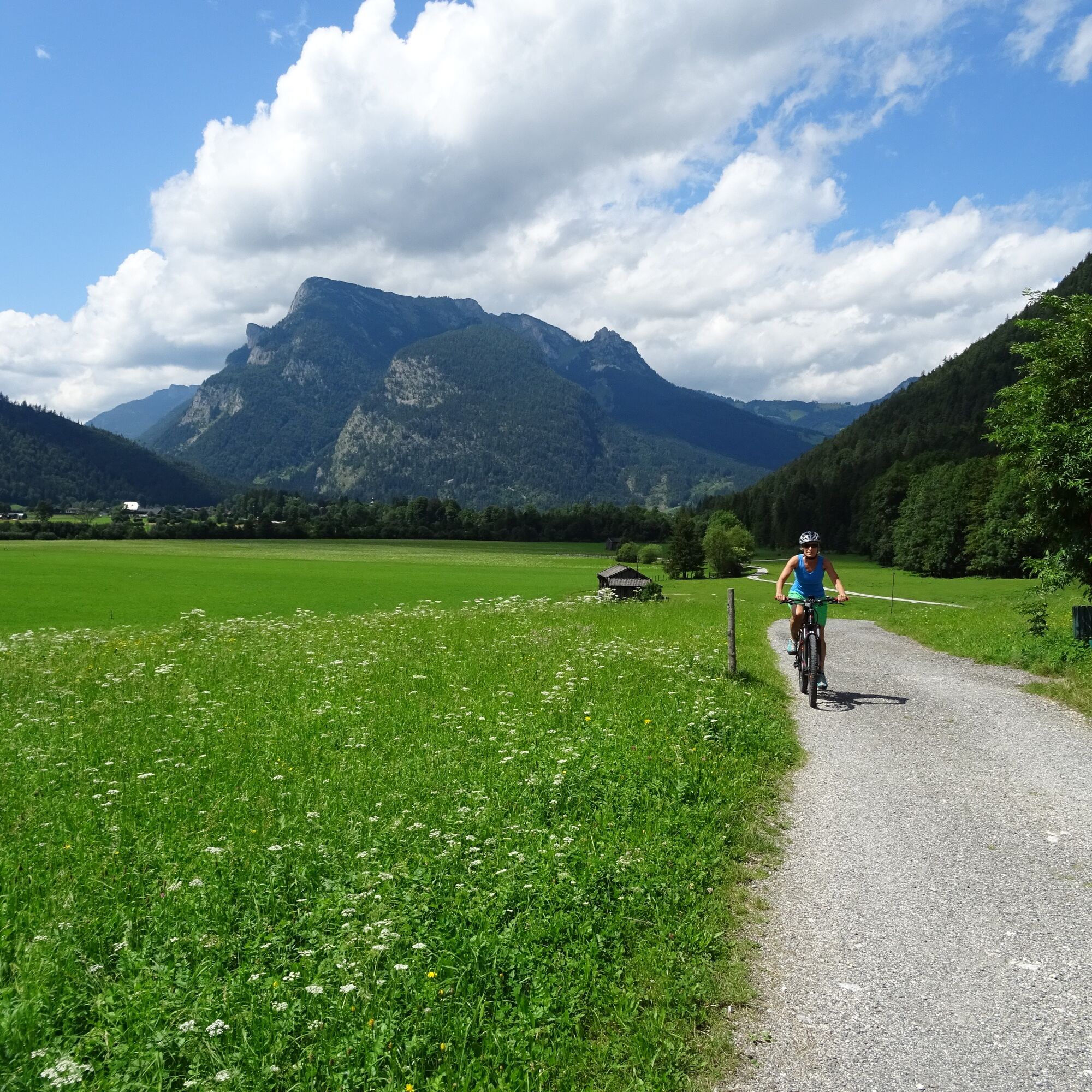
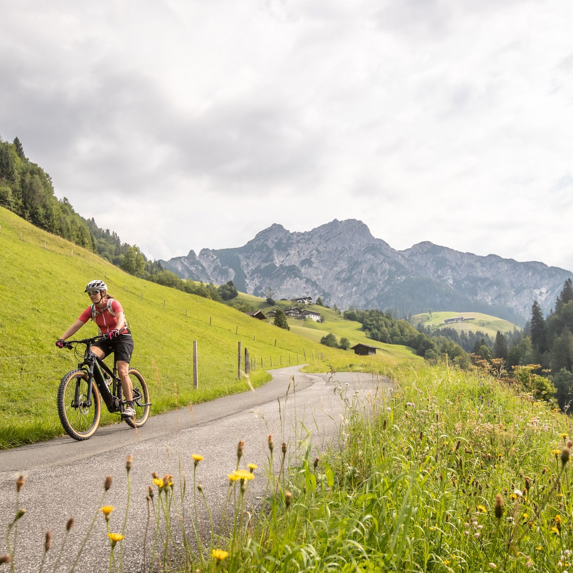
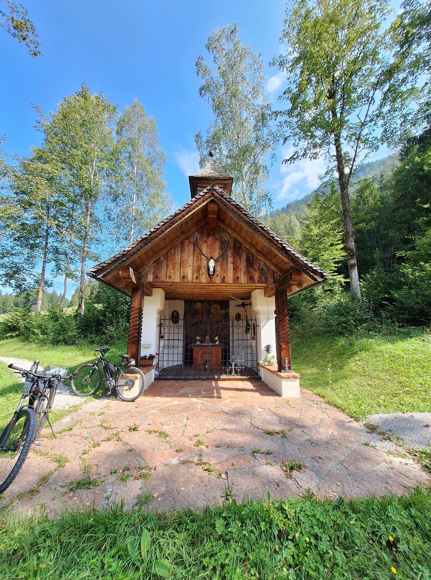
From Lofer in the Salzburger Saalachtal we ride to Scheffsnoth and along the Saalach to Strohwolln. Anyone who wants can briefly leave the bike here and take the short footpath to the Strohwollner Gorge – it’s worth it. Then continue steeply uphill with the bike towards Wildental. From Pöchtlbauer to Hundalm, Auerweißbachalm as well as Holzstube and Auer Wiesen back to Scheffsnoth and to the starting point in Lofer.
Áno
Besides a water bottle, we recommend sturdy footwear, warm clothing and rain protection, repair kit, first aid kit, mobile phone, light, gloves, sunglasses as well as some food. And of course, don’t forget the helmet.
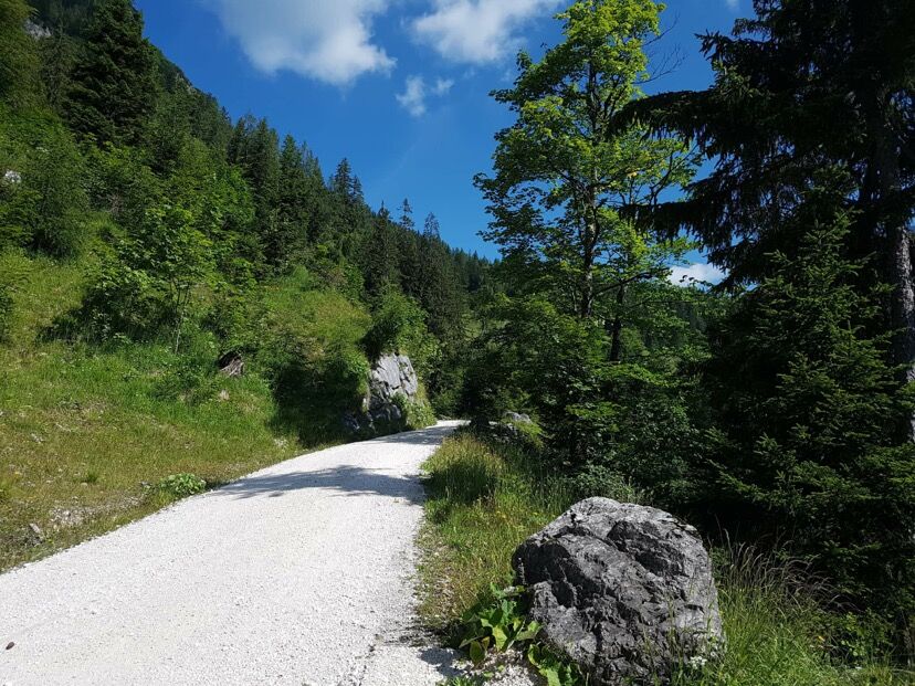
Be careful when going downhill and braking. The route is mostly on gravel roads
Coming from Salzburg: Along the B178 to Lofer. After about 1.5 kilometers the start of the route is directly at the info office Lofer next to the federal road.
Coming from St. Johann/T. and Saalfelden: Take the Salzburg exit at the roundabout in Lofer. After about 400 meters the start of the route is directly at the info office next to the federal road. (Arrival)
By bus line 260 (timetable) to Lofer (stop Lofer Mittelschule/TVB)
Free of charge at the large parking lot Lofer (P2); directly next to the info office
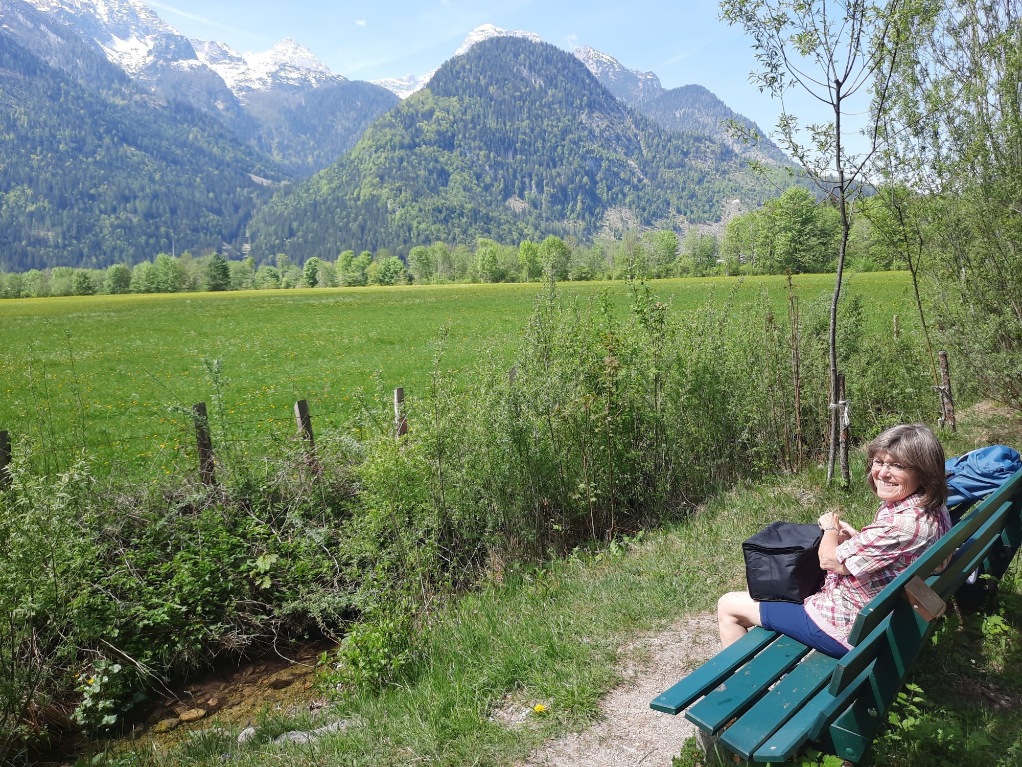
Be sure to stop in Strohwolln and visit the impressive Strohwollner Gorge. The walking time is about 30 minutes. Admission free.


Obľúbené výlety v okolí
-
4,5
Wimbachgrieshütte
Turistika 8,30 km -
4,3
Halsalm
Turistika 6,43 km -
5,0
Watzmann Überschreitung an einem Tag
ťažkéTuristika 23,9 km -
4,9
Ramsau/Hintersee-Runde
svetloTuristika 9,44 km -
3,9
Soleleitungsweg
Turistika 10,5 km -
4,8
Atemberaubende Aussicht auf dem Dürrnbachhorn
strednáTuristika 8,44 km -
5,0
Goldtoni - Wandern - Watzmann - Überschreitung
ťažkéVysoké turné 25,3 km -
4,7
Loferer Steinberge, zum Hinterhorn über die Schmid-Zabierow Hütte, 19.06.22
ťažkéTuristika 14,0 km -
4,2
Passauer Hütte
ťažkéTuristika 4,14 km -
4,5
Seisenberg Gorge
svetloTuristika 2,41 km
Turistika a stopovanie


Nenechajte si ujsť ponuky a inšpiráciu na ďalšiu dovolenku
Vaša e-mailová adresa bol pridaný do poštového zoznamu.