


Ironman - Around the Pinzgauer Grasberge
Fotografie našich používateľov
-
 © Fritz SchernthanerVytvorené dňa 26.08.2025
 -
 © Fritz SchernthanerVytvorené dňa 26.08.2025
 -

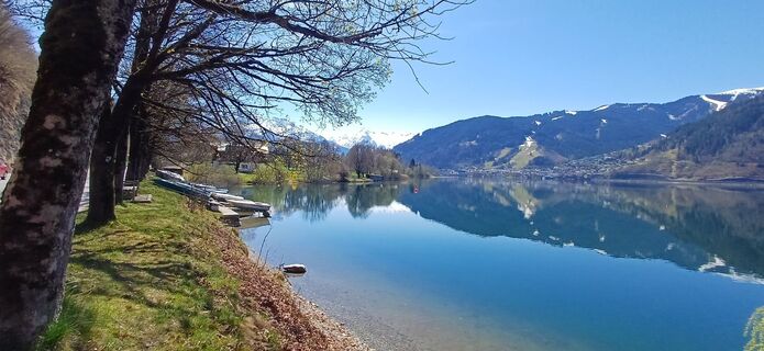
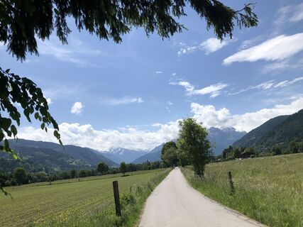
 © Christian LeidenfrostVytvorené dňa 24.06.2025
 -

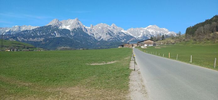
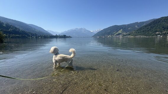
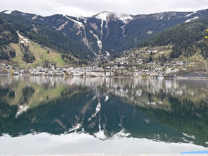
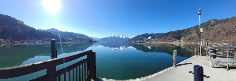
 © Zoran DujakovicVytvorené dňa 03.05.2025
 -
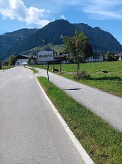
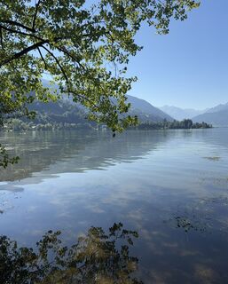
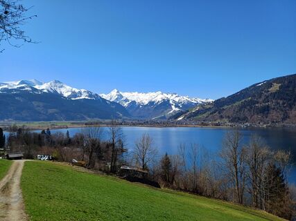
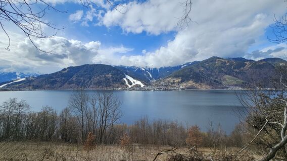
 © martl122Vytvorené dňa 12.04.2025
 -
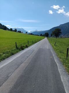
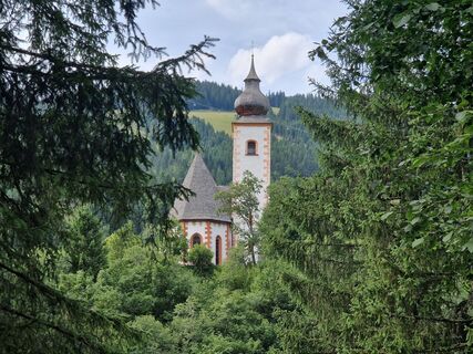
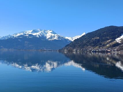
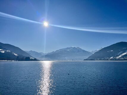
 © martl122Vytvorené dňa 12.04.2025
 -
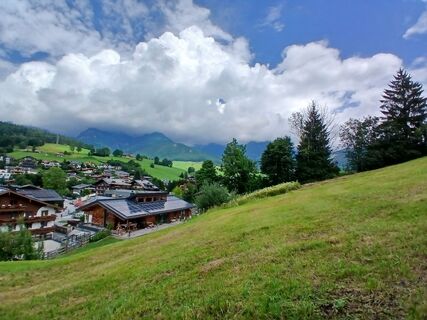
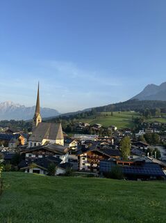
 © Sven KrieblinVytvorené dňa 05.04.2026
 -
 © Johann PegrinVytvorené dňa 17.01.2026
 -
 © Johann PegrinVytvorené dňa 17.01.2026
 -
 © Robert8992Vytvorené dňa 27.12.2025
 -

 © Tinelli 13Vytvorené dňa 12.10.2025
 -
 © SarahVytvorené dňa 07.09.2025
 -
 © SarahVytvorené dňa 07.09.2025
 -
 © Rob RommelseVytvorené dňa 08.08.2025
 -
 © Rob RommelseVytvorené dňa 08.08.2025
 -
 © Rob RommelseVytvorené dňa 08.08.2025
 -
 © Elisabeth StimakovitsVytvorené dňa 20.07.2025
 -
 © Fantom RoKVytvorené dňa 04.07.2025
 -
 © Fantom RoKVytvorené dňa 04.07.2025
 -

 © Marijke WellingVytvorené dňa 02.06.2025
 -
 © Marijke WellingVytvorené dňa 02.06.2025
 -
 © Jürgen SpitzkopfVytvorené dňa 15.04.2025
 -
 © CatZVytvorené dňa 04.04.2025
 -
 © CatZVytvorené dňa 04.04.2025
 -
 © CatZVytvorené dňa 04.04.2025
 -
 © Gundega MucenieceVytvorené dňa 13.03.2025
 -
 © József Bence GálVytvorené dňa 13.01.2025
 -
 © Anna StossierVytvorené dňa 31.08.2024


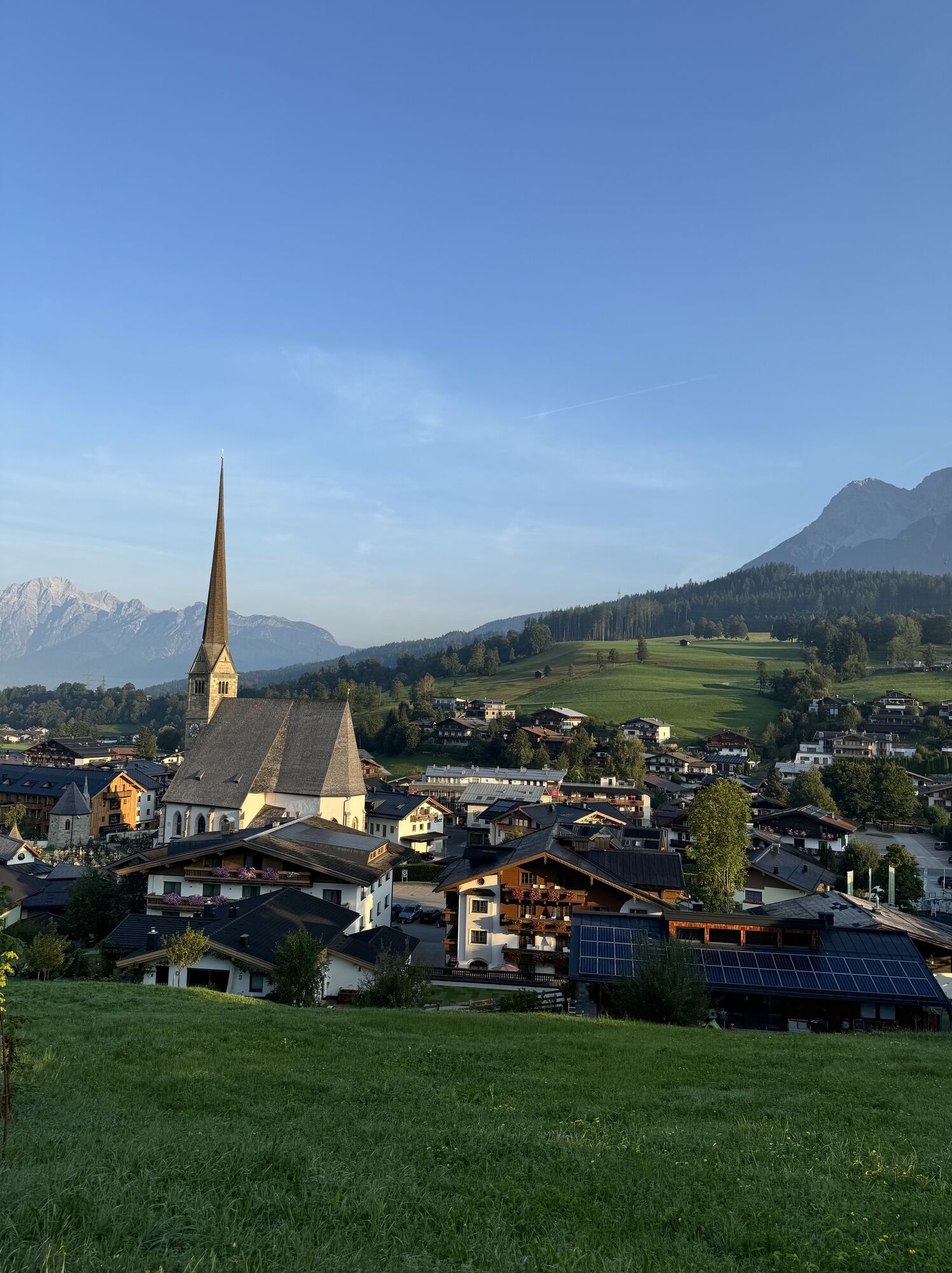
Racing bike round with a length of 64 km, a mountain classification at the Filzensattel with almost 1300 Hm and many curves along the Hochkönig and the Steinerne Meer.


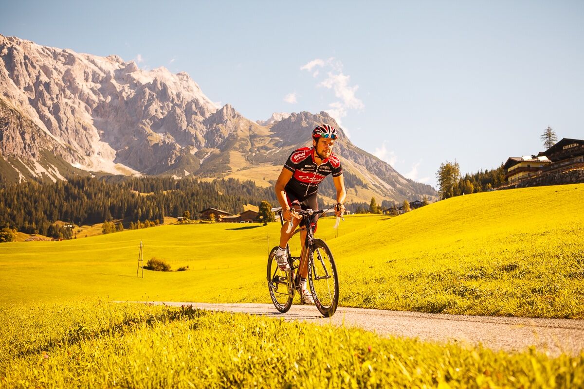
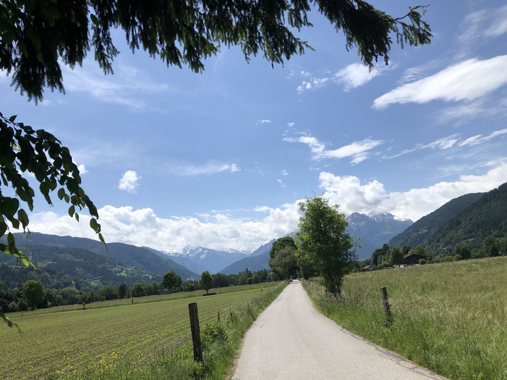
Start at the service center Maria Alm in the direction of the fire station along the cycle path to Almdorf. In Almdorf we continue to Hof, Gerling. Maishofen. Keep left towards Thumersbach. Continue along the Zeller See lake to Bruck an der Glocknerstraße. Through the centre we follow the Tauern Cycle Path via St. Georgen, Griess, Eschenau to the Lend Dienten turn-off. Then take the winding Lendner Straße via Feroli to the Deantner church. Now, after the village, there is the climb over the Filzensattel with a total of approx. 1268 m of altitude. The descent to Hinterthal is full of bends and the Hochkönig Bundesstraße via Hintermoos to the starting point in Maria Alm.
Controlled bike equipment with helmet
Sunglasses
Sun protection
Rain protection
Drinks and a snack
Necessary medication
First aid kit
Bike map
Fair play!
Only ride on marked paths! Close all gates, barriers and pasture gates! Comply with the road traffic regulations! Only overtake at walking pace! Behave respectfully towards other nature users and forestry and hunting staff! Show consideration for animals! Do not leave any rubbish in the countryside! Act responsibly! weather forecasts: Check the current weather conditions at: zamg.at or www.uwz.at.Emergency numbers: Alpine emergency number: 140, International emergency number: 112, Rescue: 144
Coming from Salzburg: Take the A10 motorway to the Bischofshofen exit, then take the B311 towards Bischofshofen. Follow the Hochkönig Bundesstraße/B164 to Maria Alm.
Coming from Innsbruck/ Kufstein: Take the Loferer Straße/B178 in the direction of St. Johann i.T., then follow the Hochkönig Bundesstraße/B164 via Saalfelden to Maria Alm.
A valid vignette is required to use the Austrian motorway and motorway network. It is also compulsory to carry a first-aid kit, warning triangle and high-visibility waistcoat. Further information can be found under Asfinag.
ÖBB-Scotty: Timetable information
Bus line 620: Timetable information
Hiking bus: Timetable information
Free parking at the beginning of the village and in the centre of Maria Alm
Further information on hikes and activities in the Hochkönig region:
For detailed information about hiking maps, the opening hours of the cable cars and the huts and mountain pastures in summer, we recommend you visit the local service centre. There you will not only receive the hiking map, but also valuable tips on the best hiking routes and current conditions.
Opening hours of the mountain lifts in summer: The mountain lifts offer different opening hours during the summer months, which can vary depending on the weather and season. Please check the current operating times in advance.
Opening hours of huts & mountain huts in summer: The huts and mountain huts in the region are ideal rest stops for hikers. Here, too, opening hours may vary depending on the season and day of the week. Ask the friendly hosts for advice about the offers and specialities on site.
For more information, please visit our website: www.hochkoenig.at.
If you have any questions or require specific information, please do not hesitate to contact us:
- E-mail: region@hochkoenig.at
- Telephone: +43 (0)6584 20388
We look forward to helping you and hope you enjoy exploring the beautiful Hochkönig hiking region!
Important spare material: tools, spare tube
Webové kamery z prehliadky
-
Maria Alm - Hochmaisbahn
-
Aberg - Bergstation
-
Bürglalmlift - Dienten
-
Abergalmbahn
-
Sonnkogel
-
Schmittenhöhe
-
Mitterberg bei Thumersbach
-
Sommerrodelbahn
-
Zell am See / Hotel Berner
-
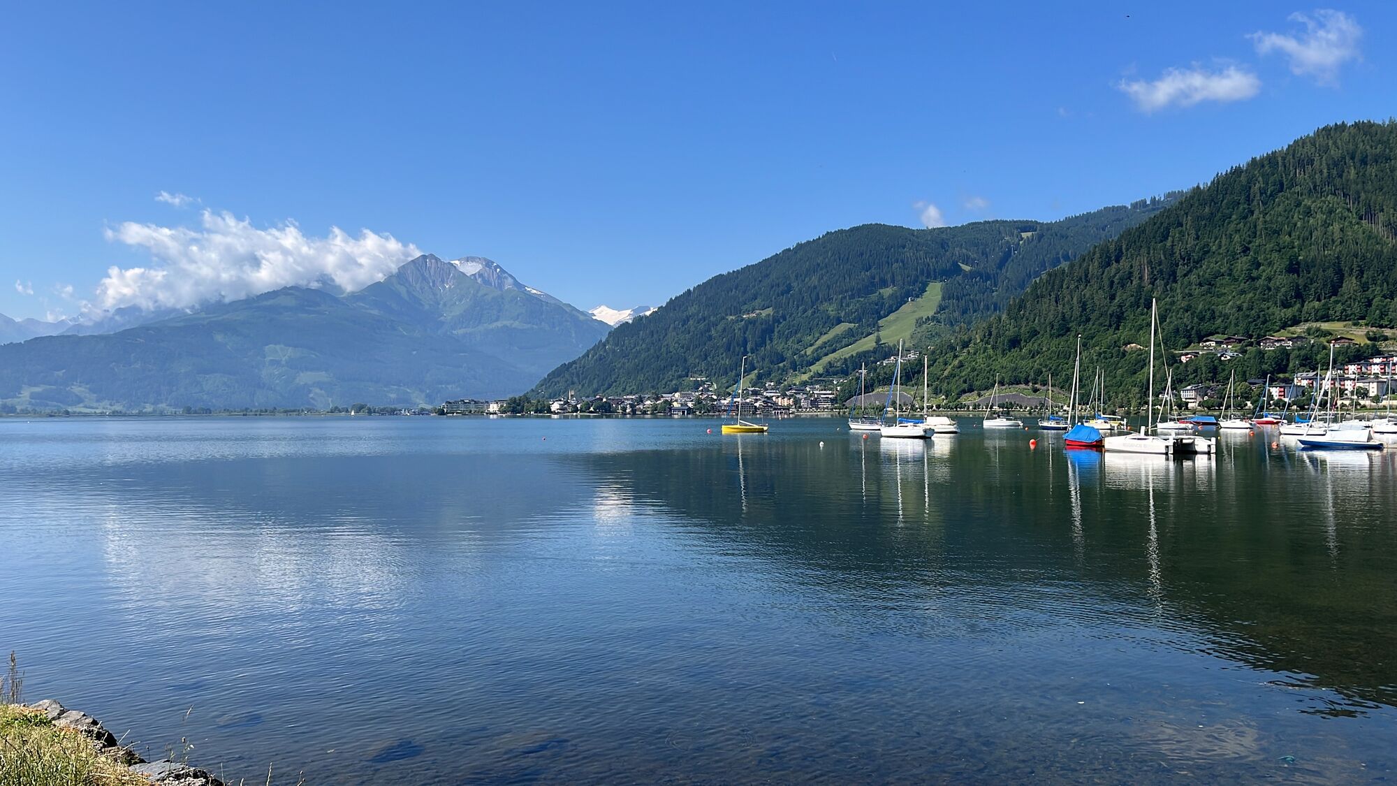
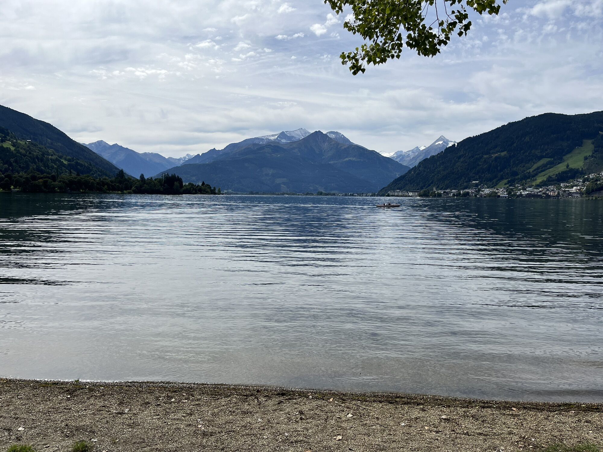
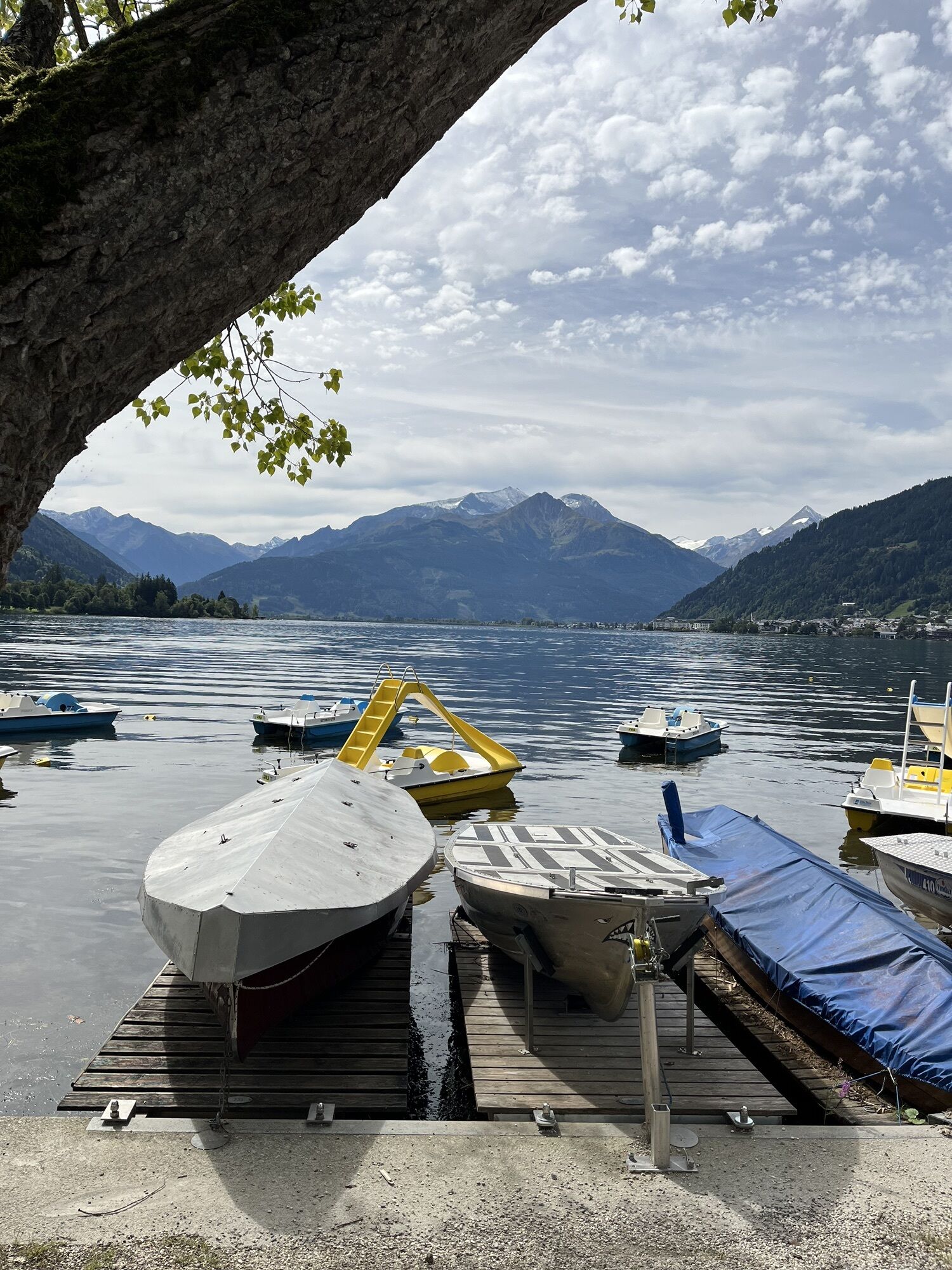
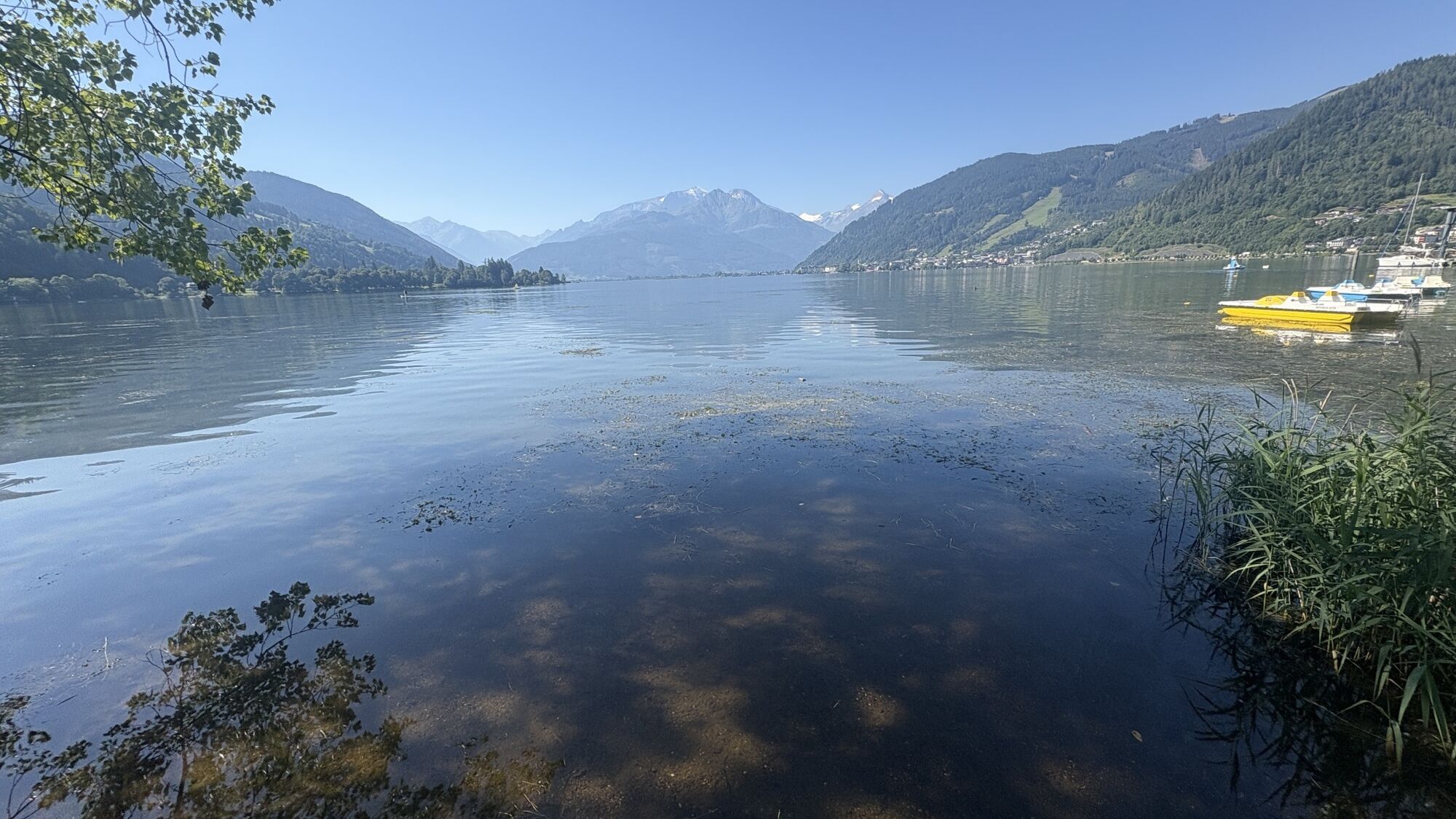
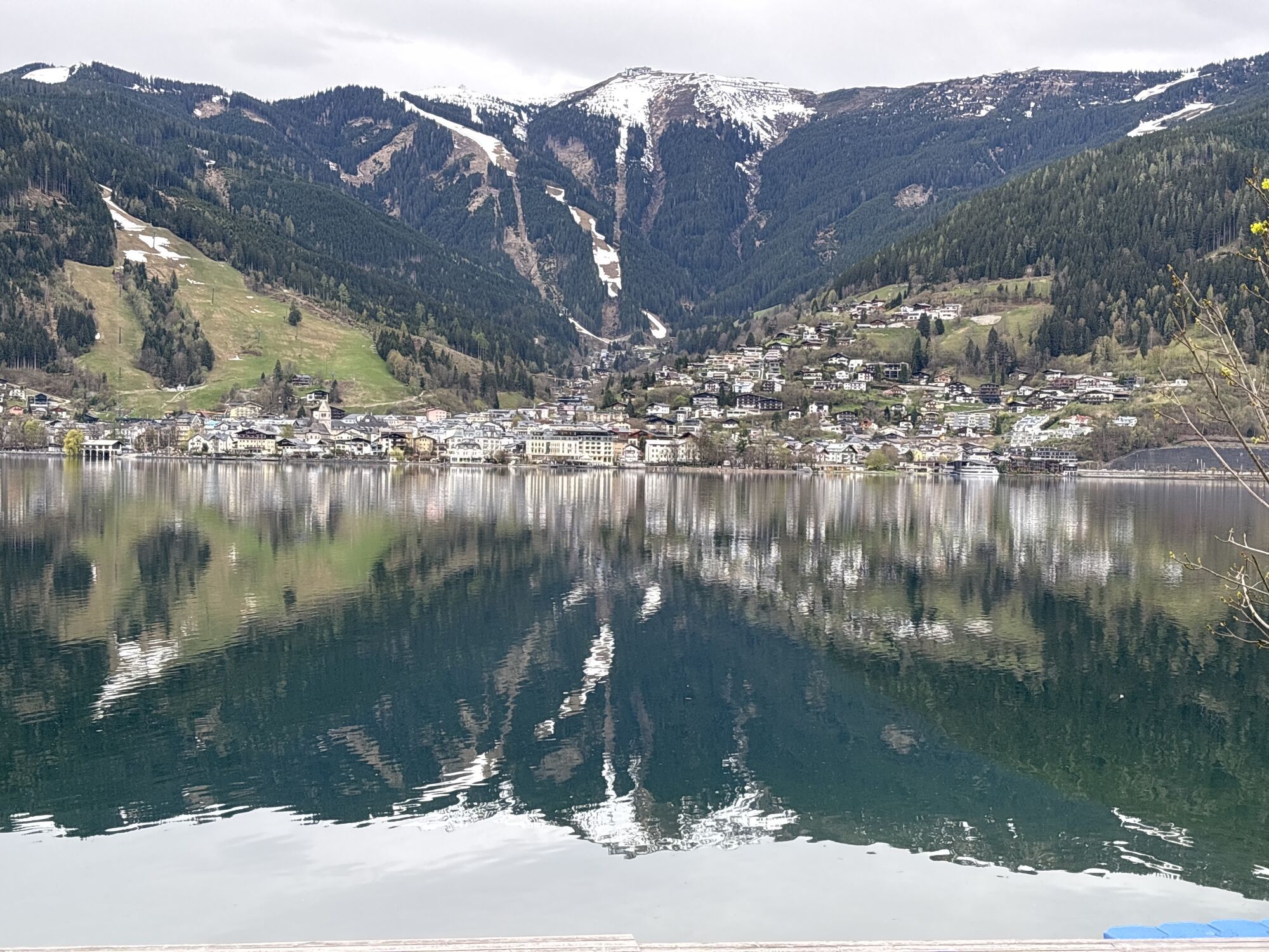
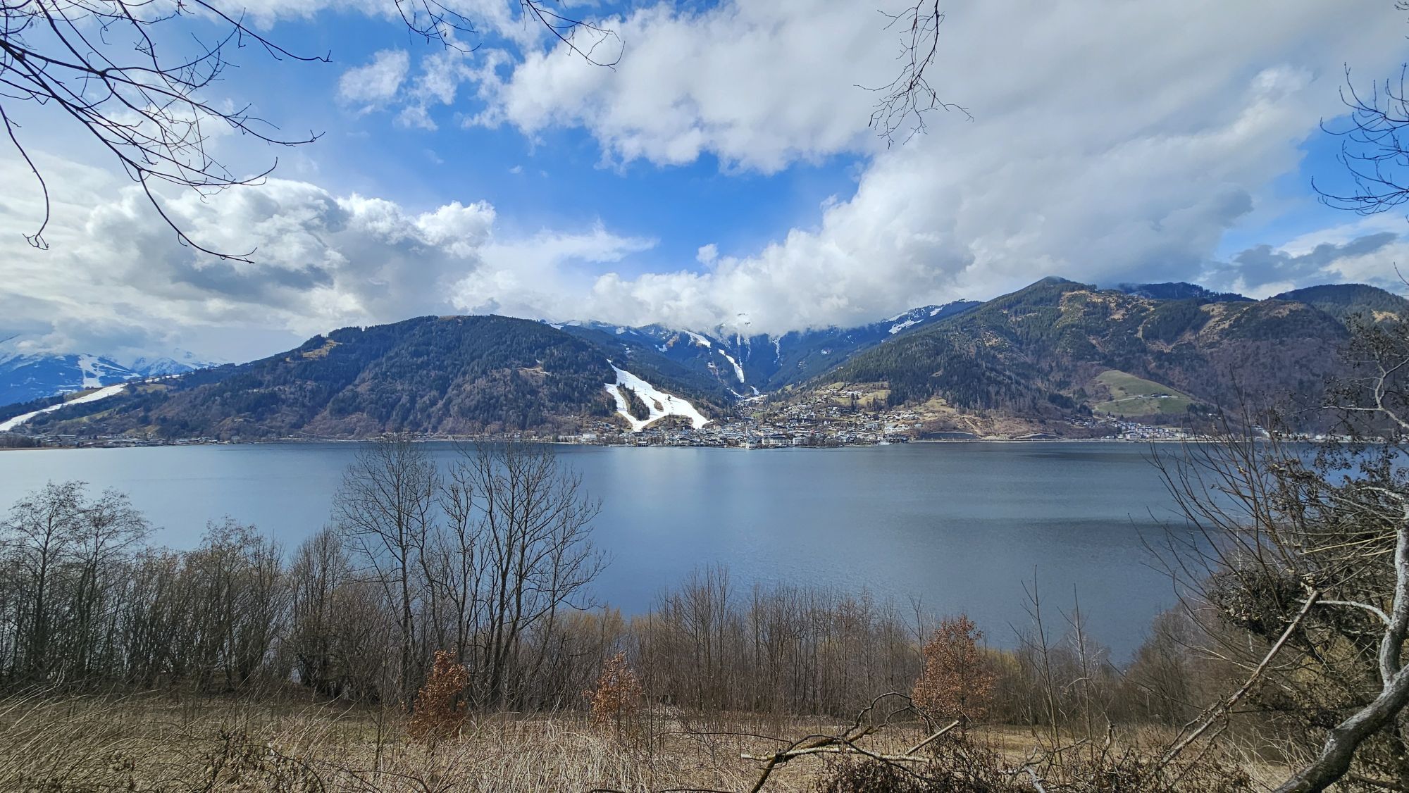
Zell am See
-
Saalfelden
-
Matrashaus am Hochkönig
-
Thumersbach
-
Golfplatz Goldegg
-
Golfplatz Goldegg
-
Sommerrodelbahn
-
Sommerrodelbahn
-
Sommerrodelbahn
-
Sommerrodelbahn
-
Sommerrodelbahn
-
Grünegg Alm & Edelbrennerei
-
Maishofen Sausteige
-
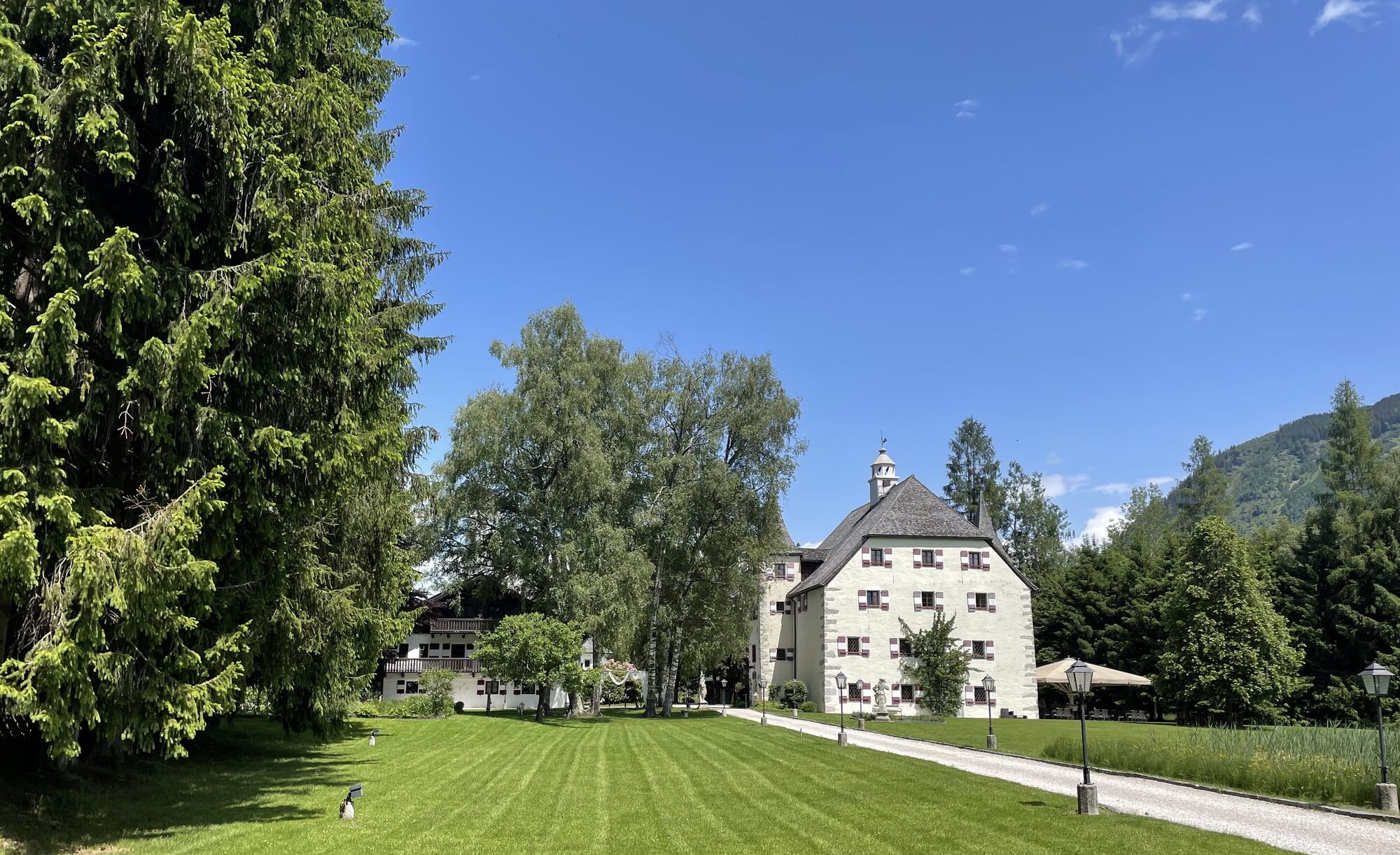
Maishofen - Schloss Kammer
-
Dienten - Übergossene Alm Resort
-
Dienten - Almsee
-
Dienten - Übergossene Alm Resort
-
Natrun Bergstation
-
Dienten, Bürglalmabfahrt
-
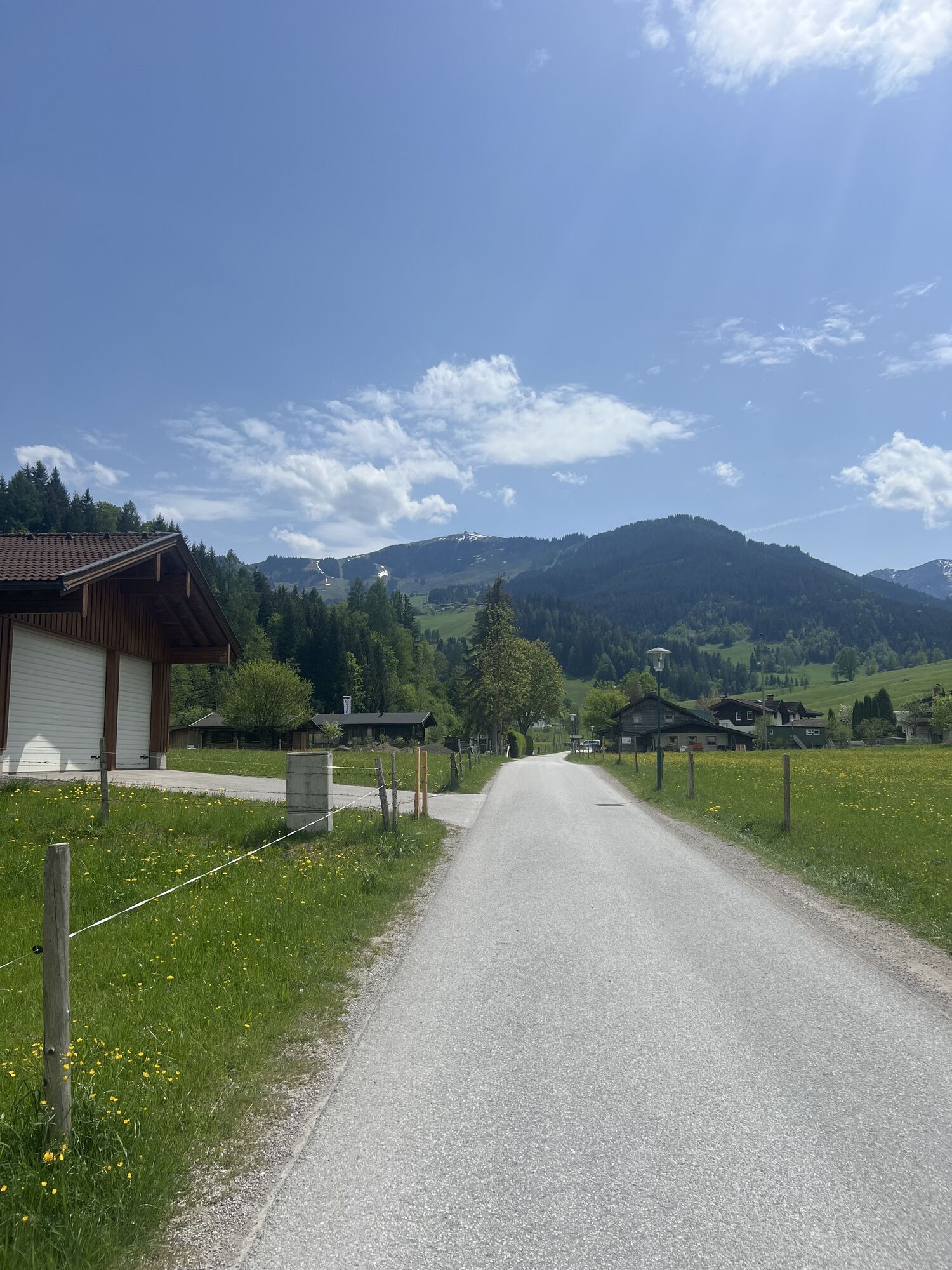
Maishofen Dorfplatz
-
Embach
-
Hoferbichlgut
-
Hinterreit - Saalfelden
-
Saalfelden - Obermühlhof
-
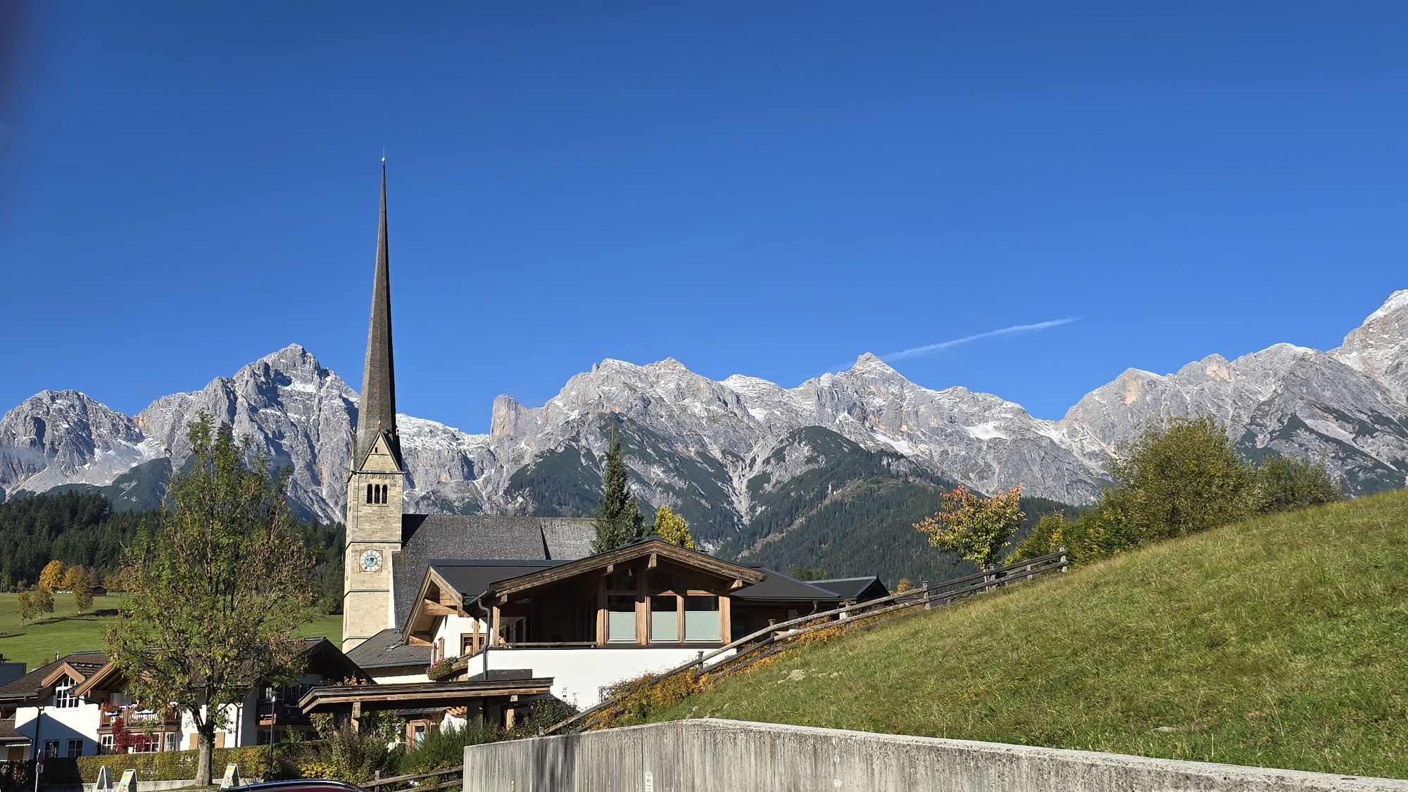
Maria Alm - "die Hochkönigin"
-
Bürglalmbahn Abfahrt
-
Hochkönigblick
-
Hinterthal - Urslauerhof
Obľúbené výlety v okolí
-
4,2
Maria Alm - Riemannhaus
Turistika 3,99 km -
4,8
Summit stormer route Lauskopf
ťažkéTuristika 8,16 km -
4,8
Summit storming route Taghaube
ťažkéTuristika 6,25 km -
4,6
Steinalm
svetloTuristika 2,71 km -
4,1
Schwalbenwand Nr. 80, 81, 82
strednáTuristika 13,0 km -
4,3
Peter-Wiechenthaler Hut
strednáTuristika 4,32 km -
4,4
Alpine and hut hike "Hochmaisalm & Steinbockalm"
strednáTuristika 8,10 km -
4,6
Königsjodler Klettersteig (C/D) Hochkönig
ťažkéVia ferrata 25,8 km -
4,3
Family hike Prinzensee
svetloTuristika 4,13 km -
4,4
Thumersbach, Runde um den Zeller See
svetloTuristika 13,3 km
Turistika a stopovanie


Nenechajte si ujsť ponuky a inšpiráciu na ďalšiu dovolenku
Vaša e-mailová adresa bol pridaný do poštového zoznamu.