







Kaisertour - Großglockner
Úroveň náročnosti: 5
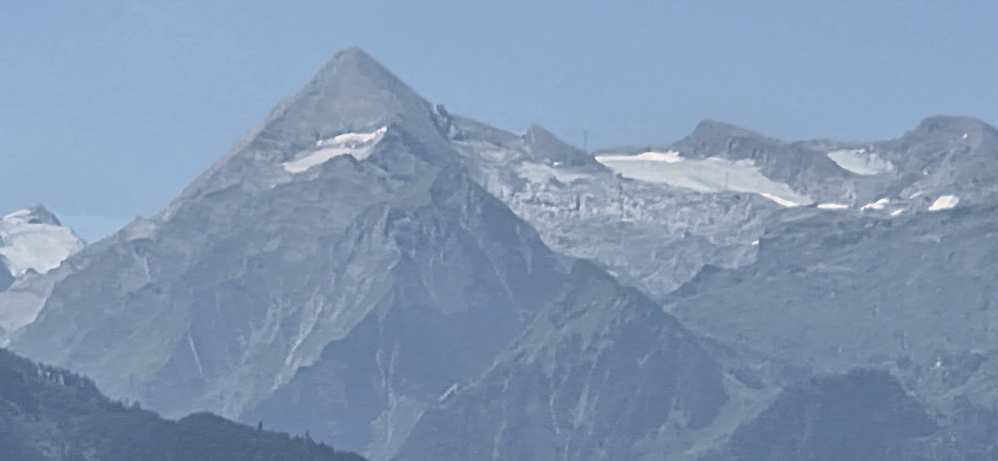
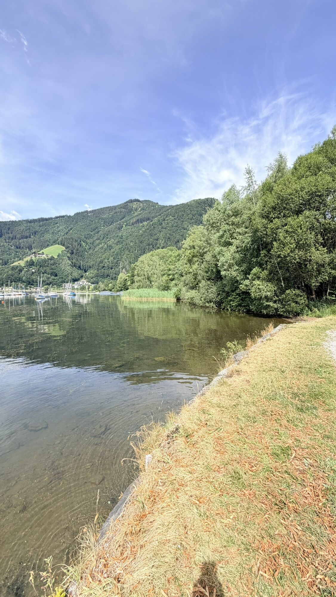
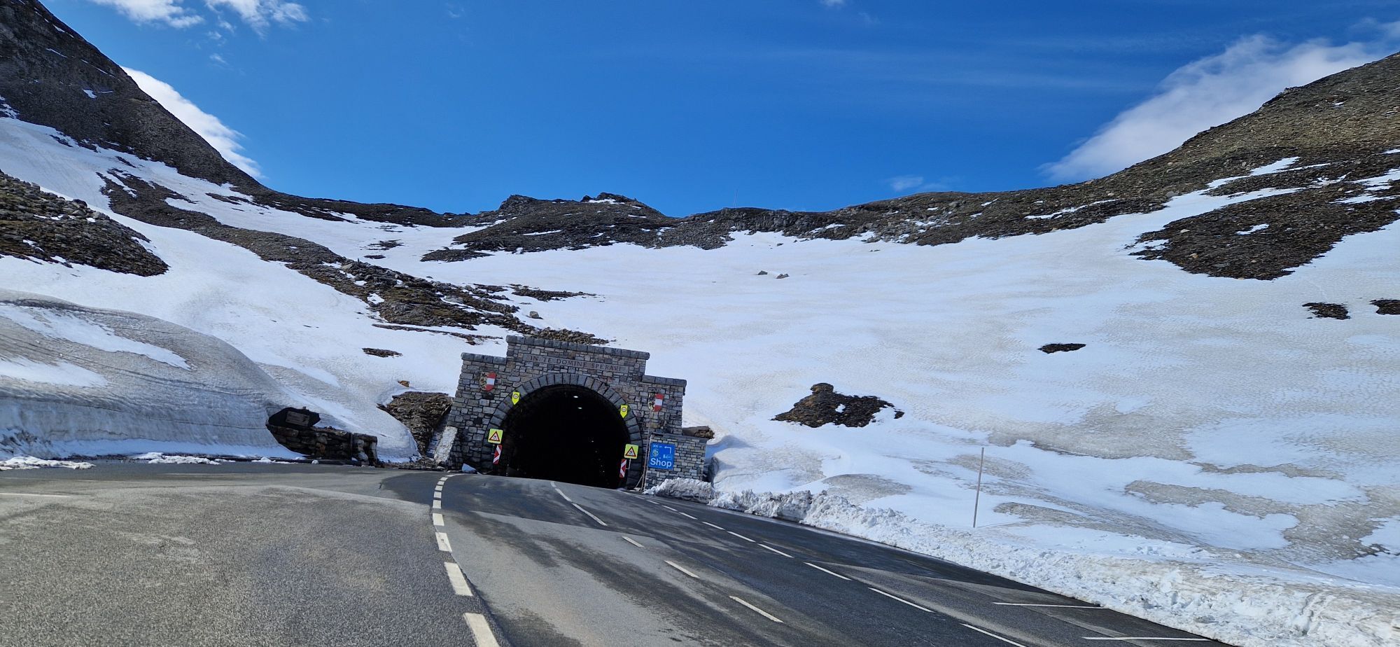
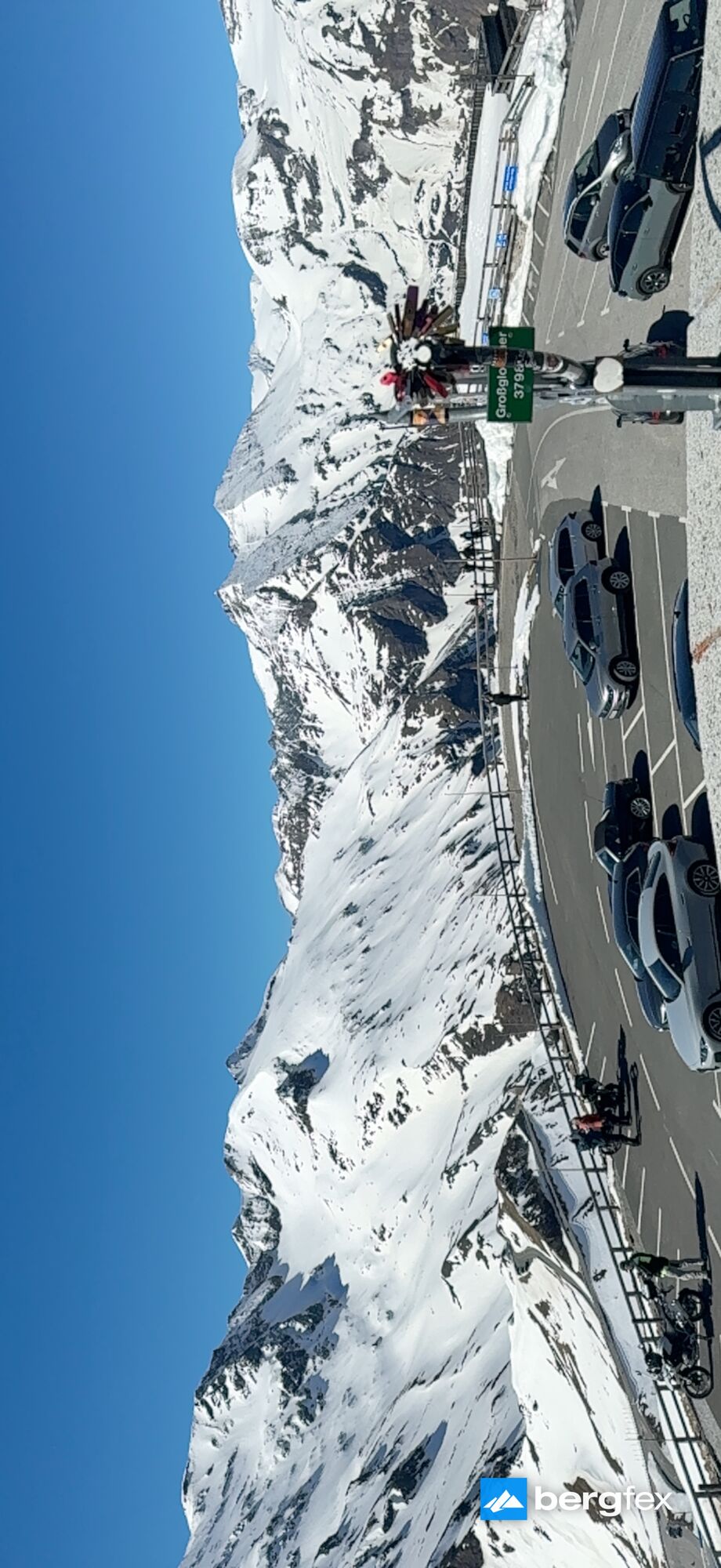
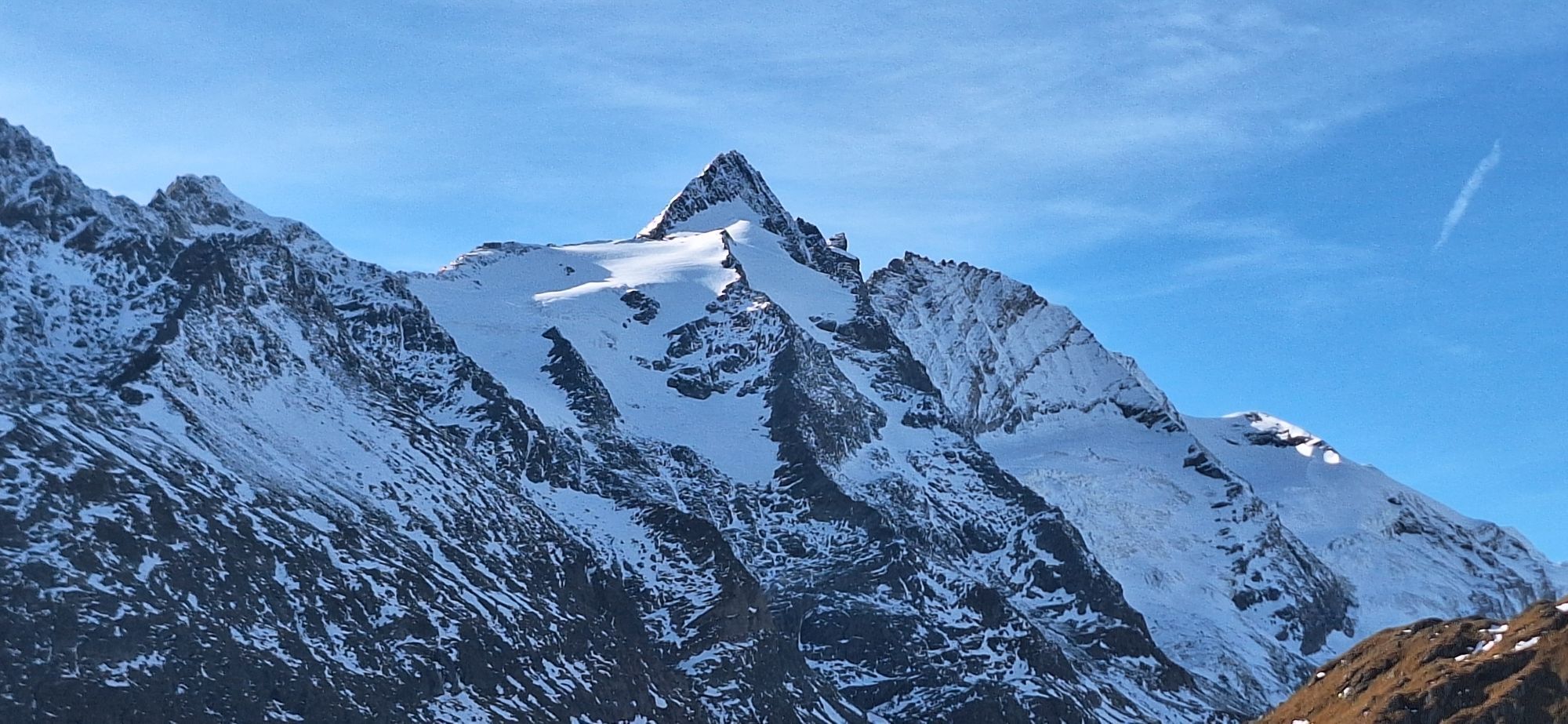
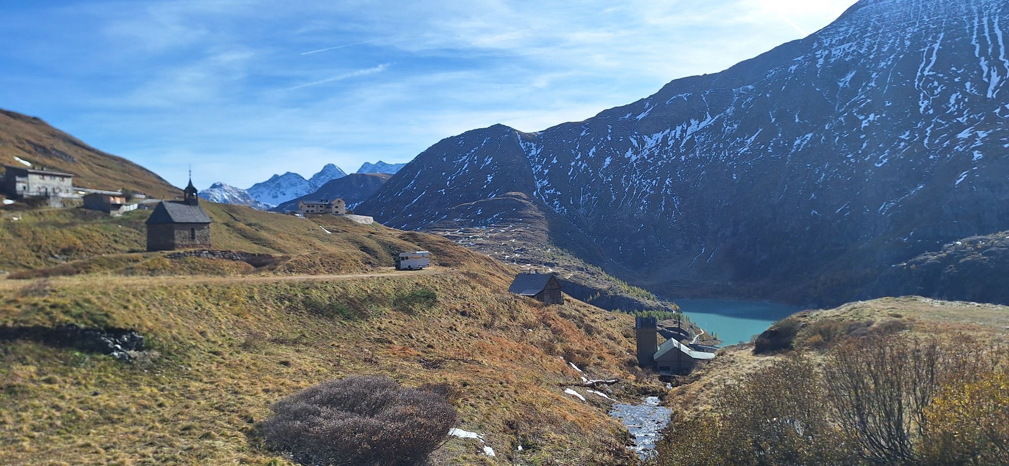
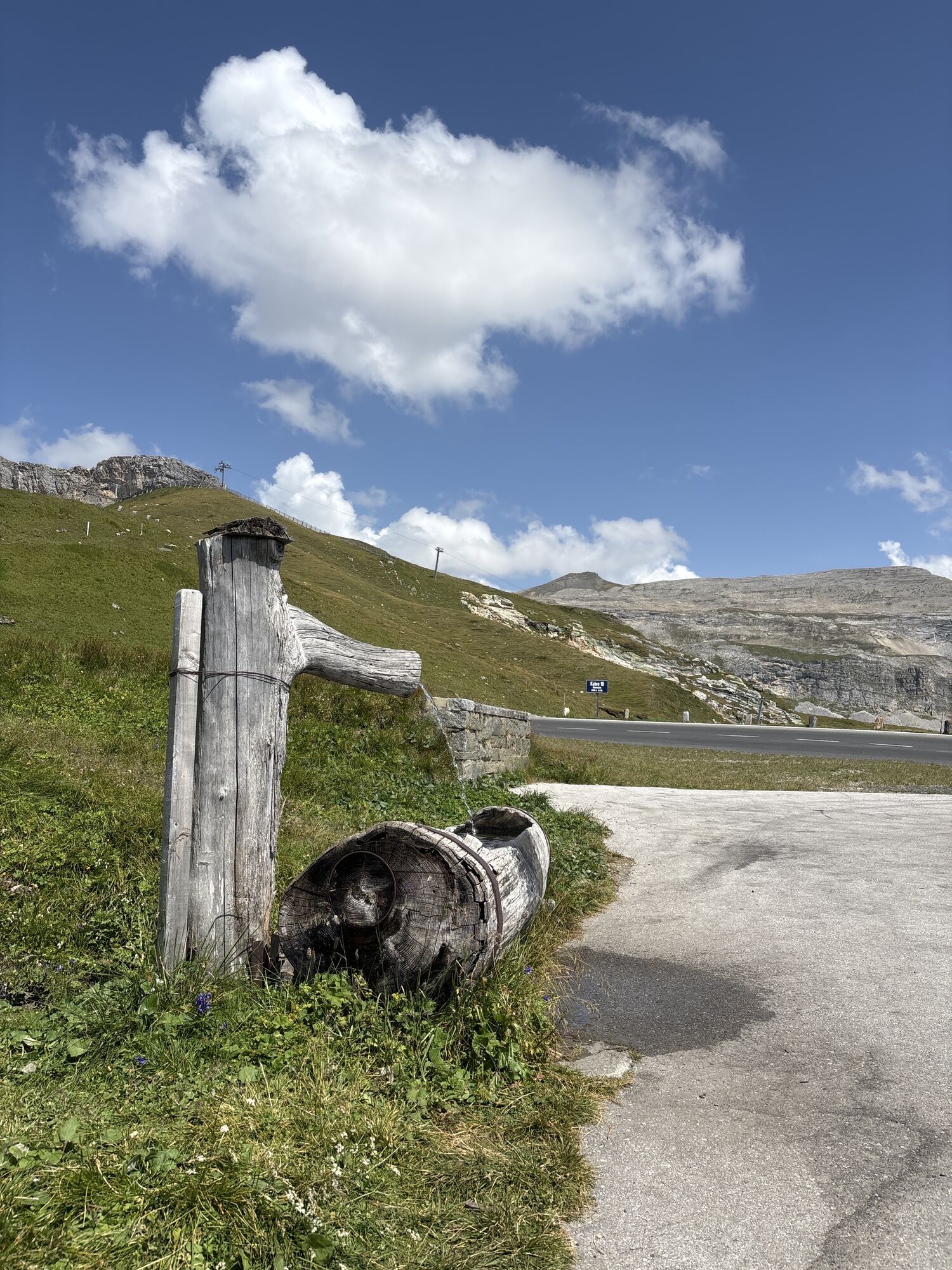
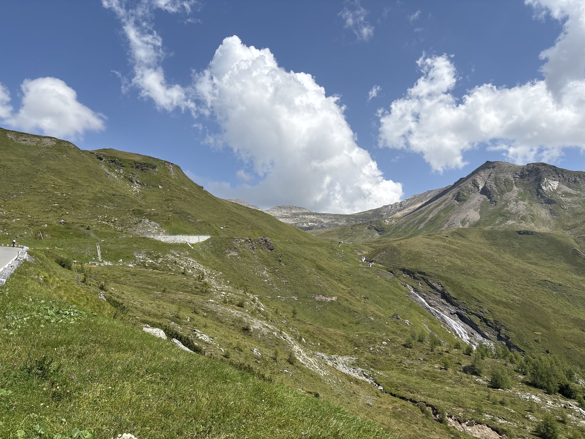
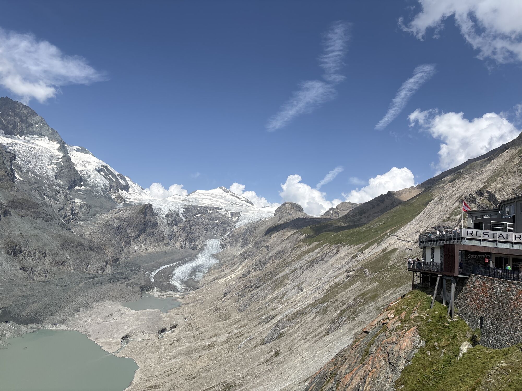
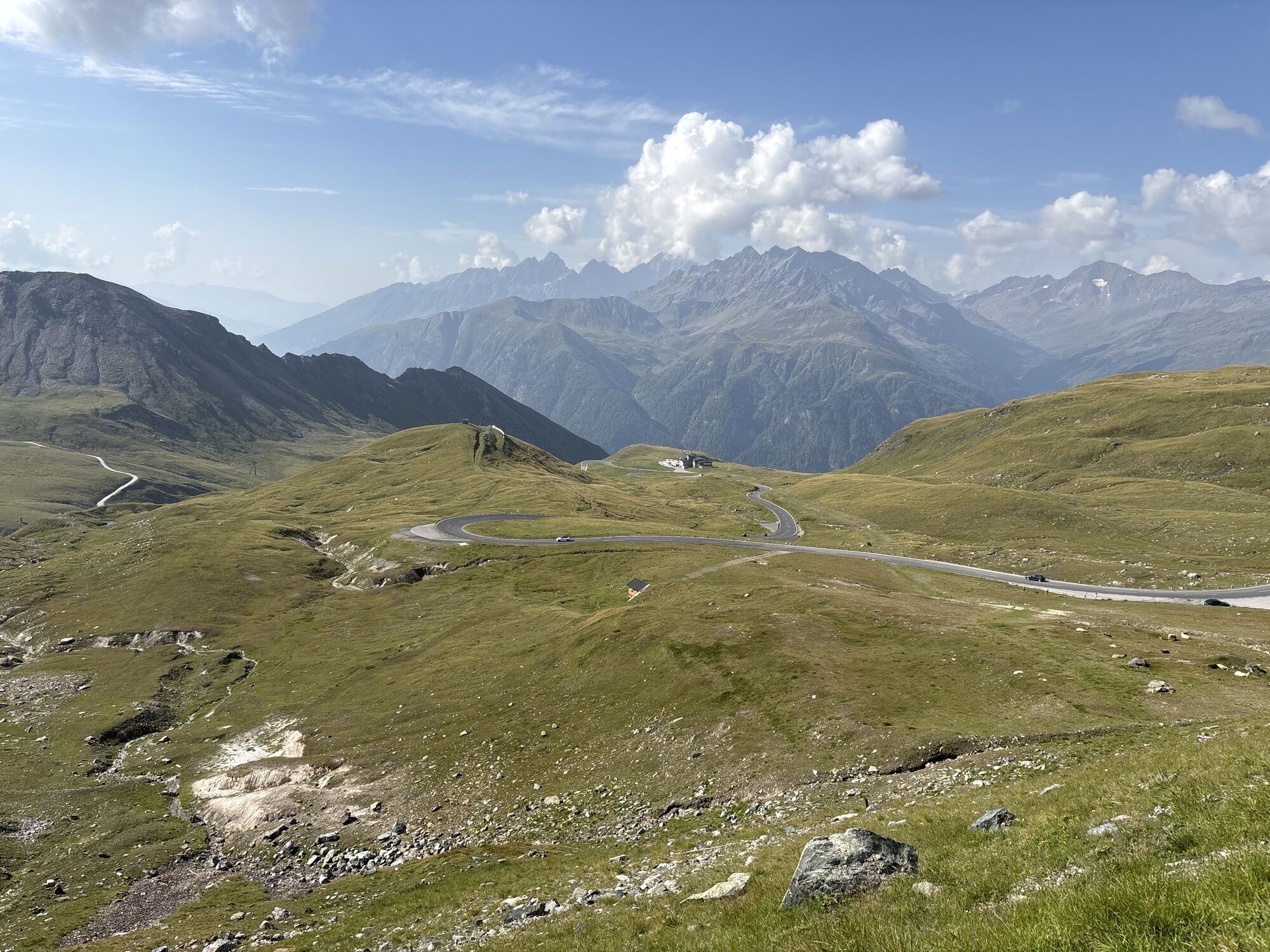
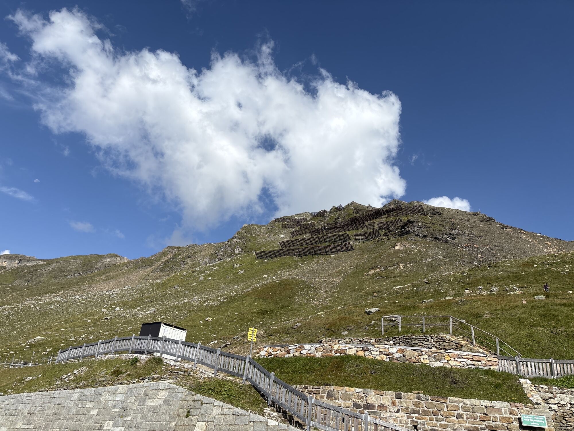
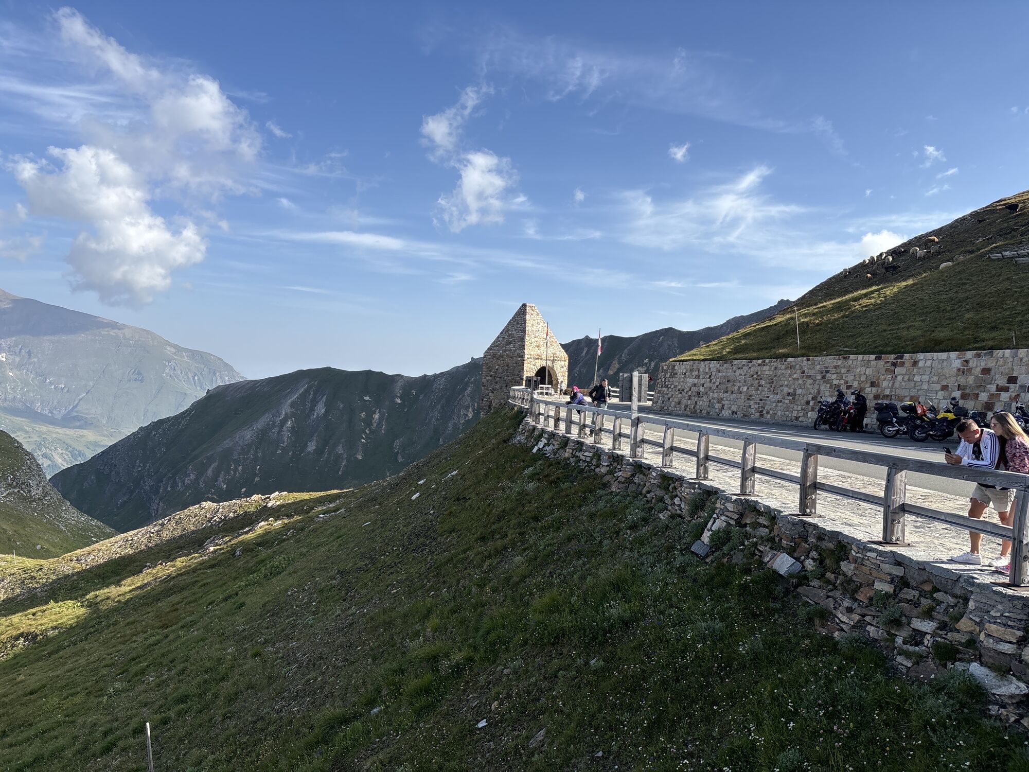
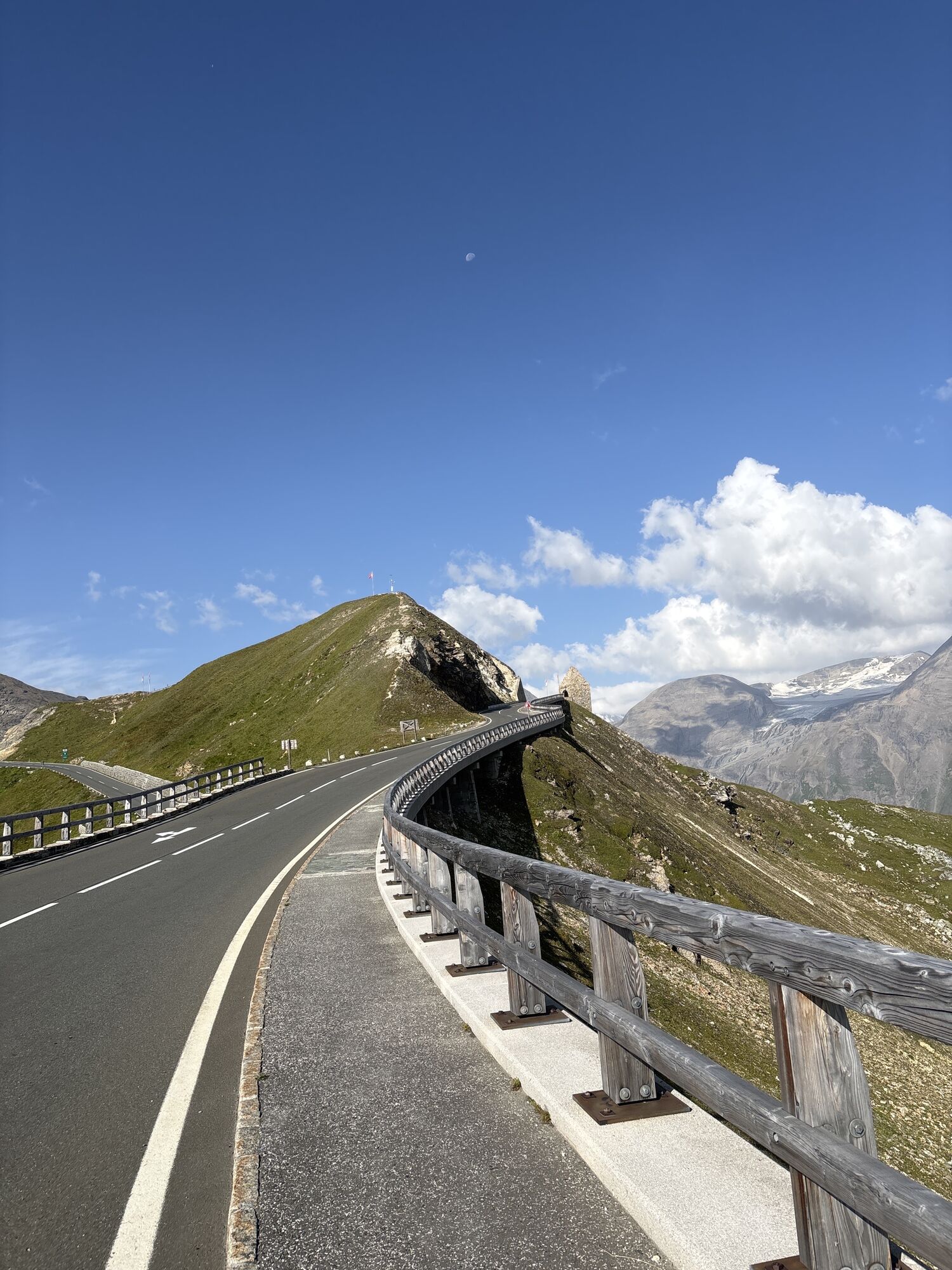
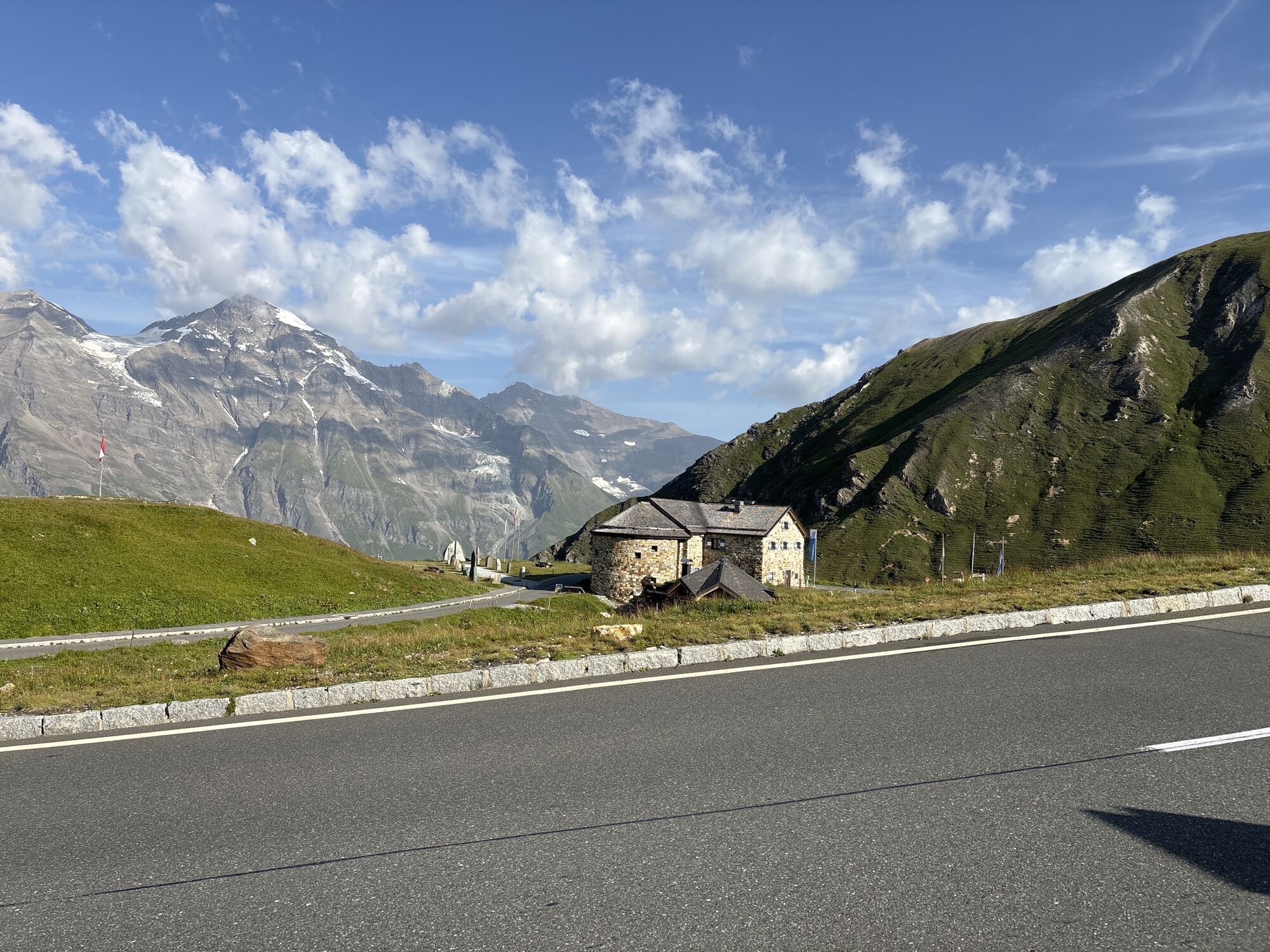
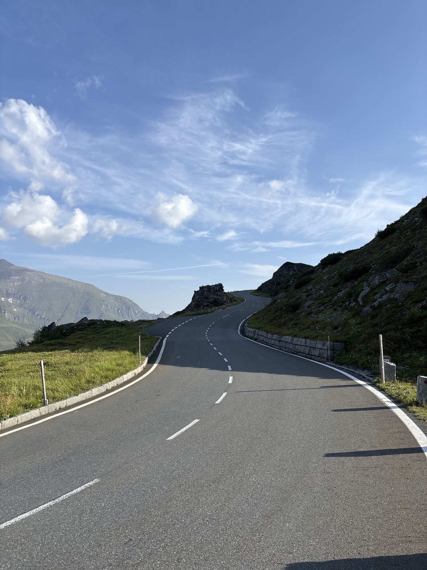
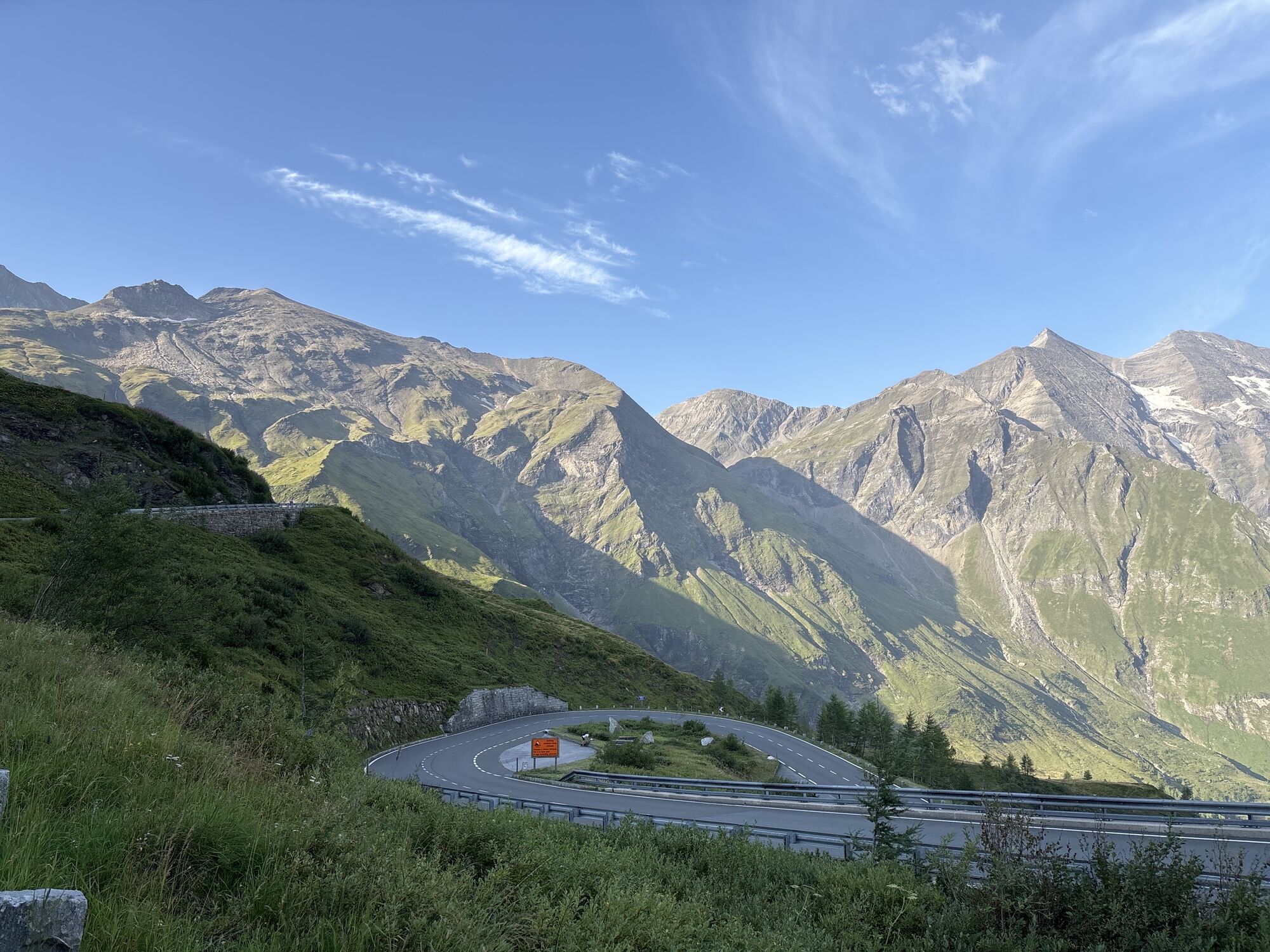
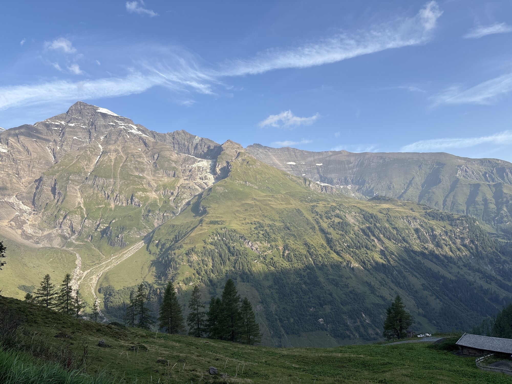
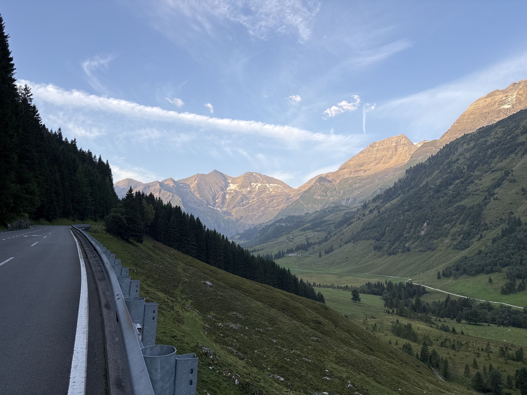

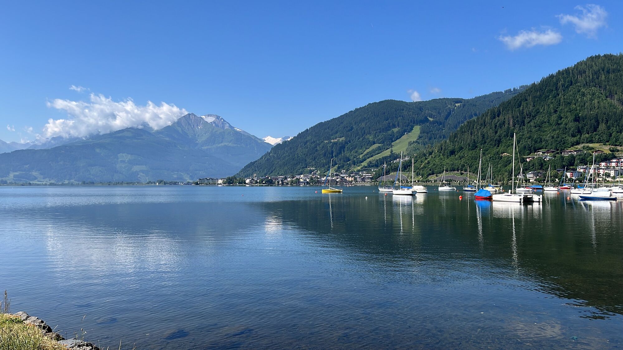
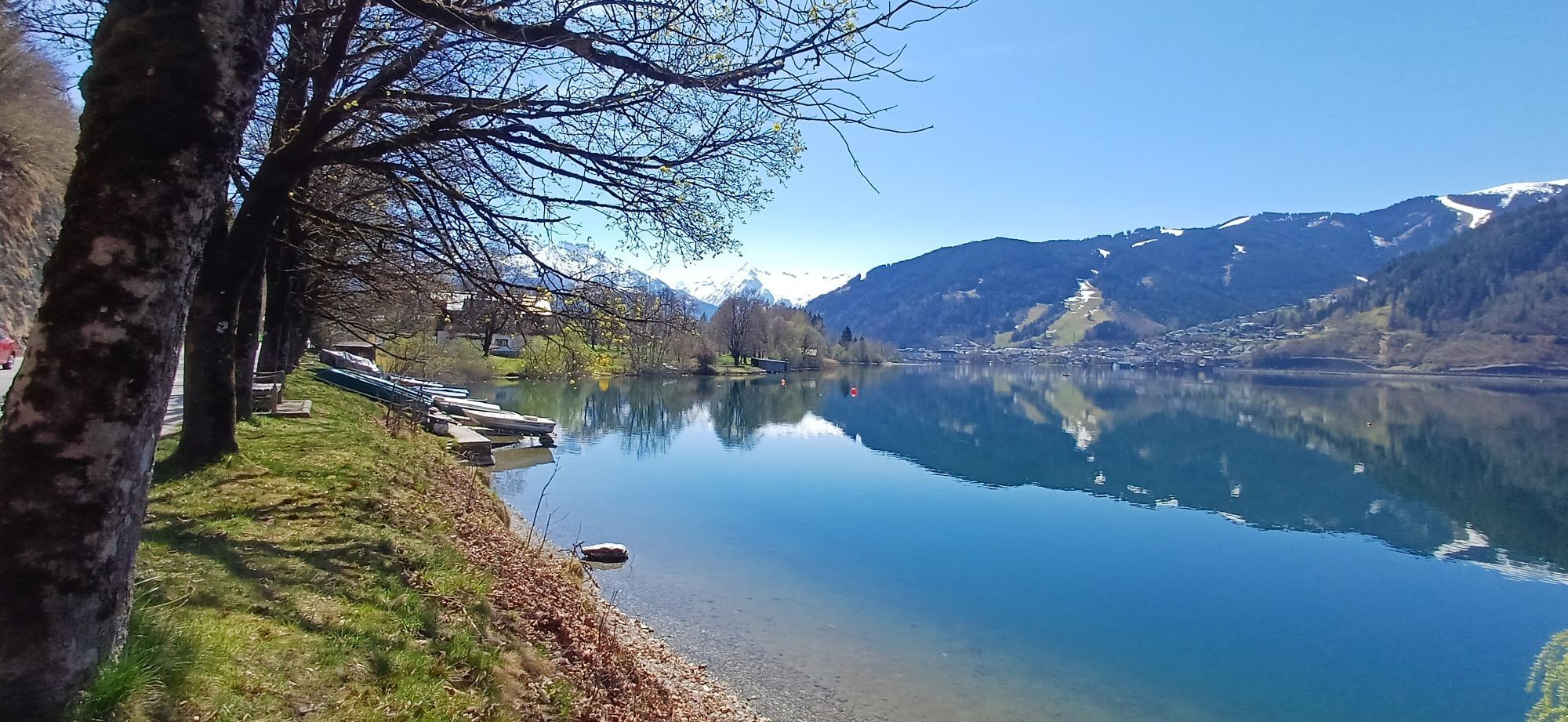
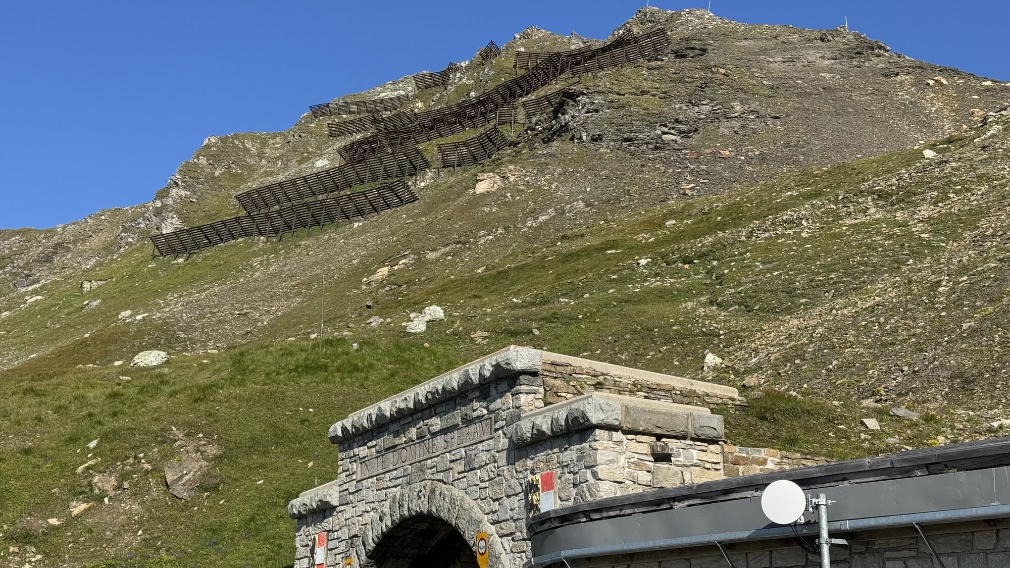
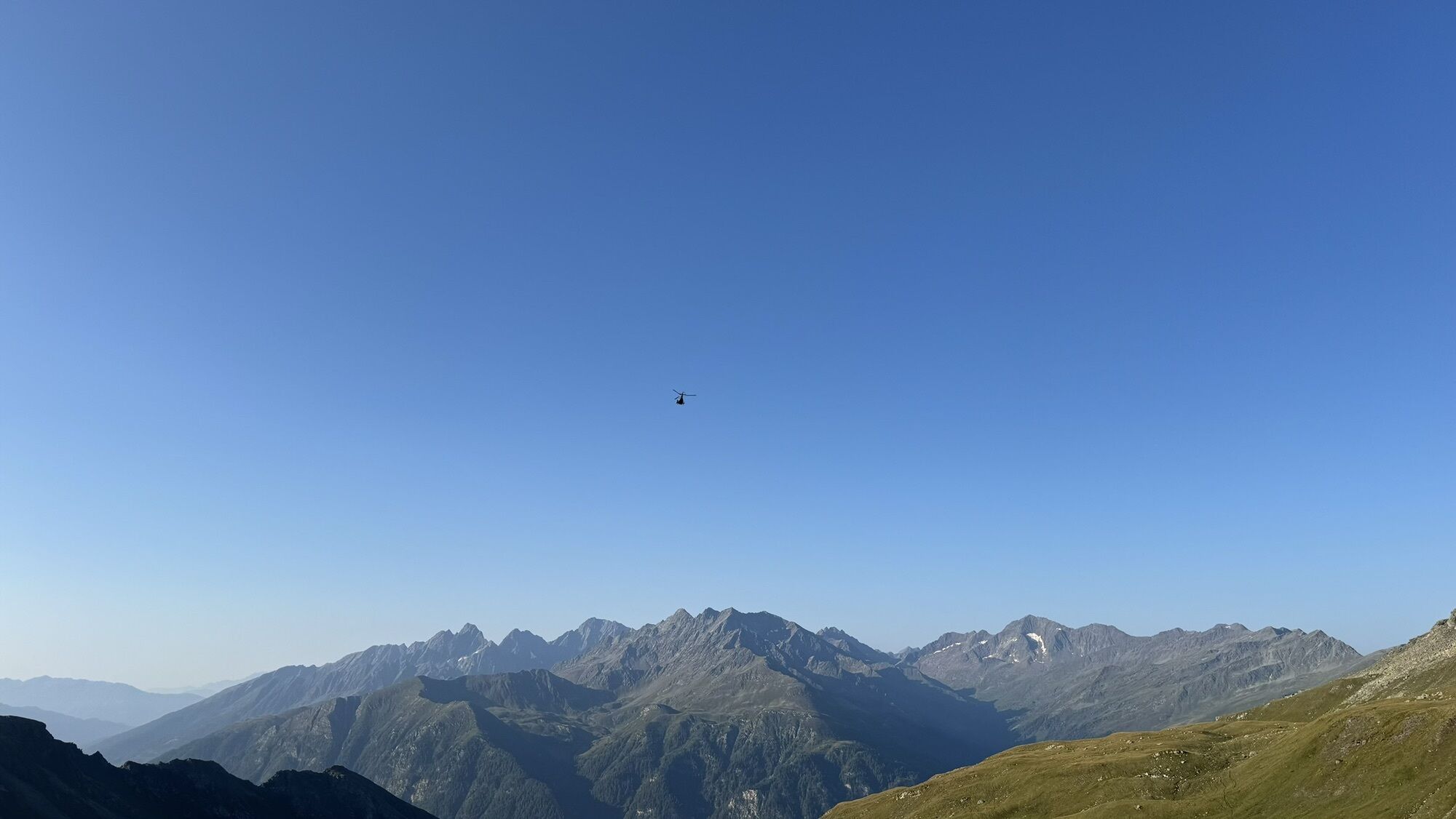
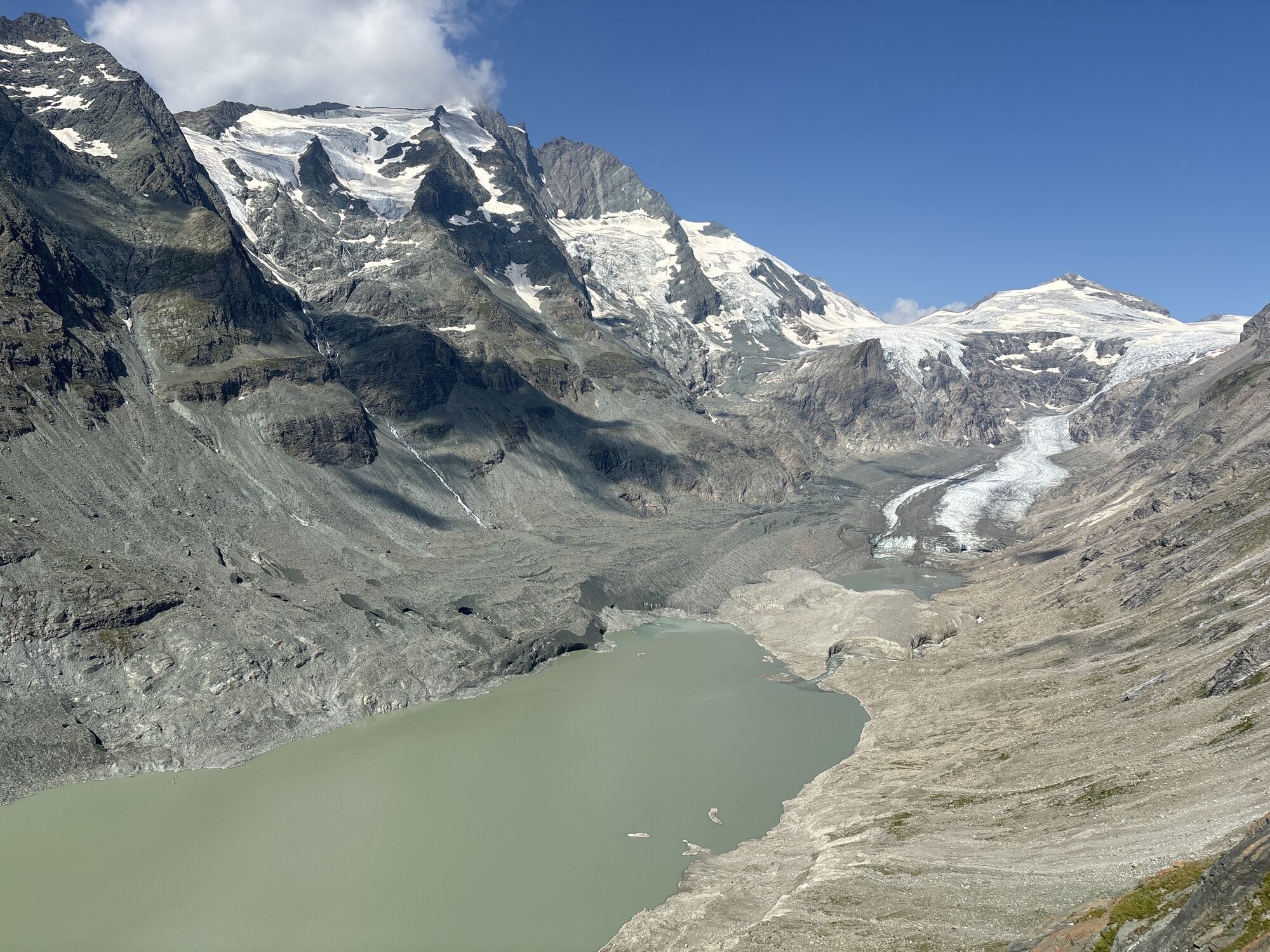

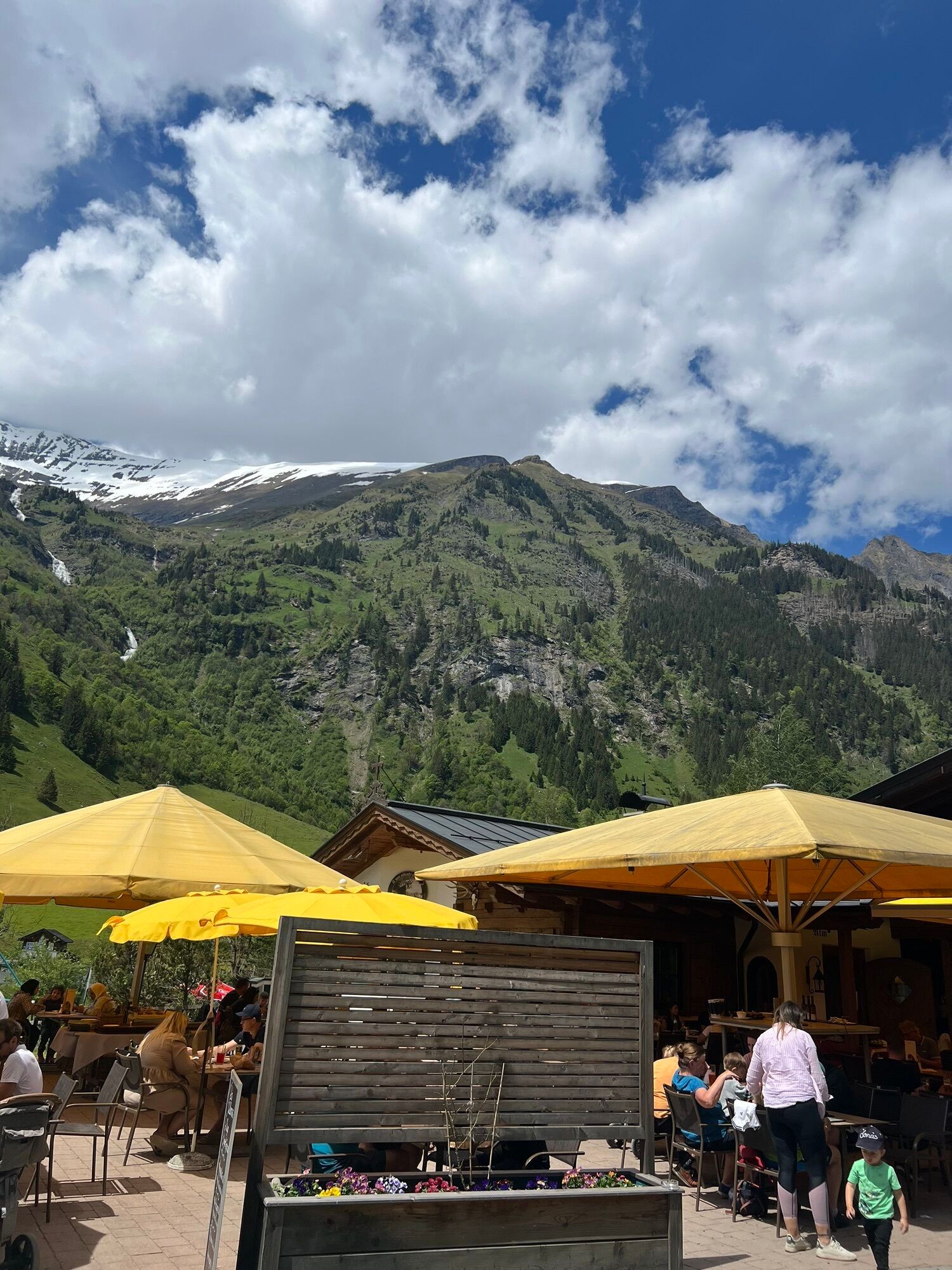
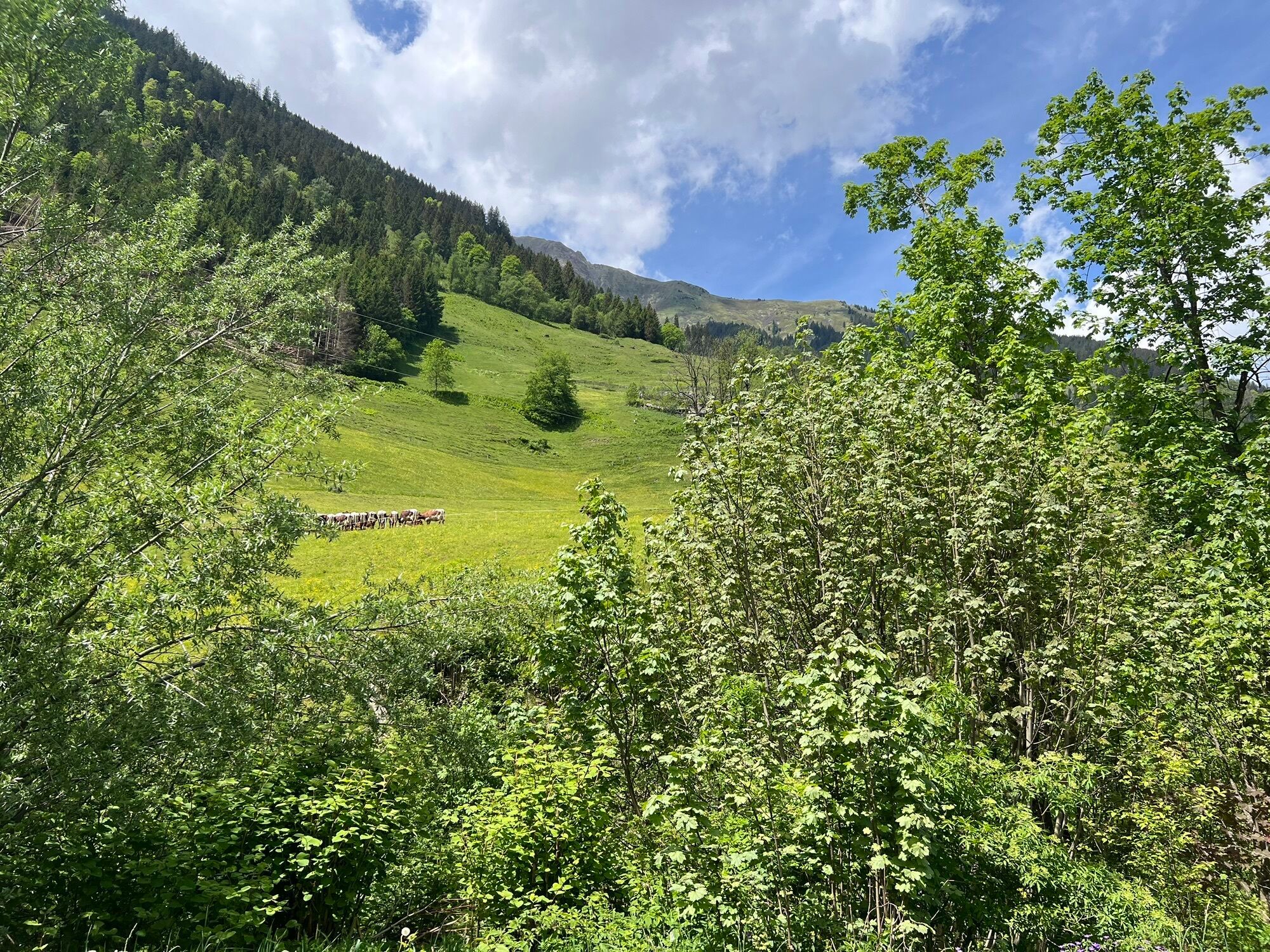
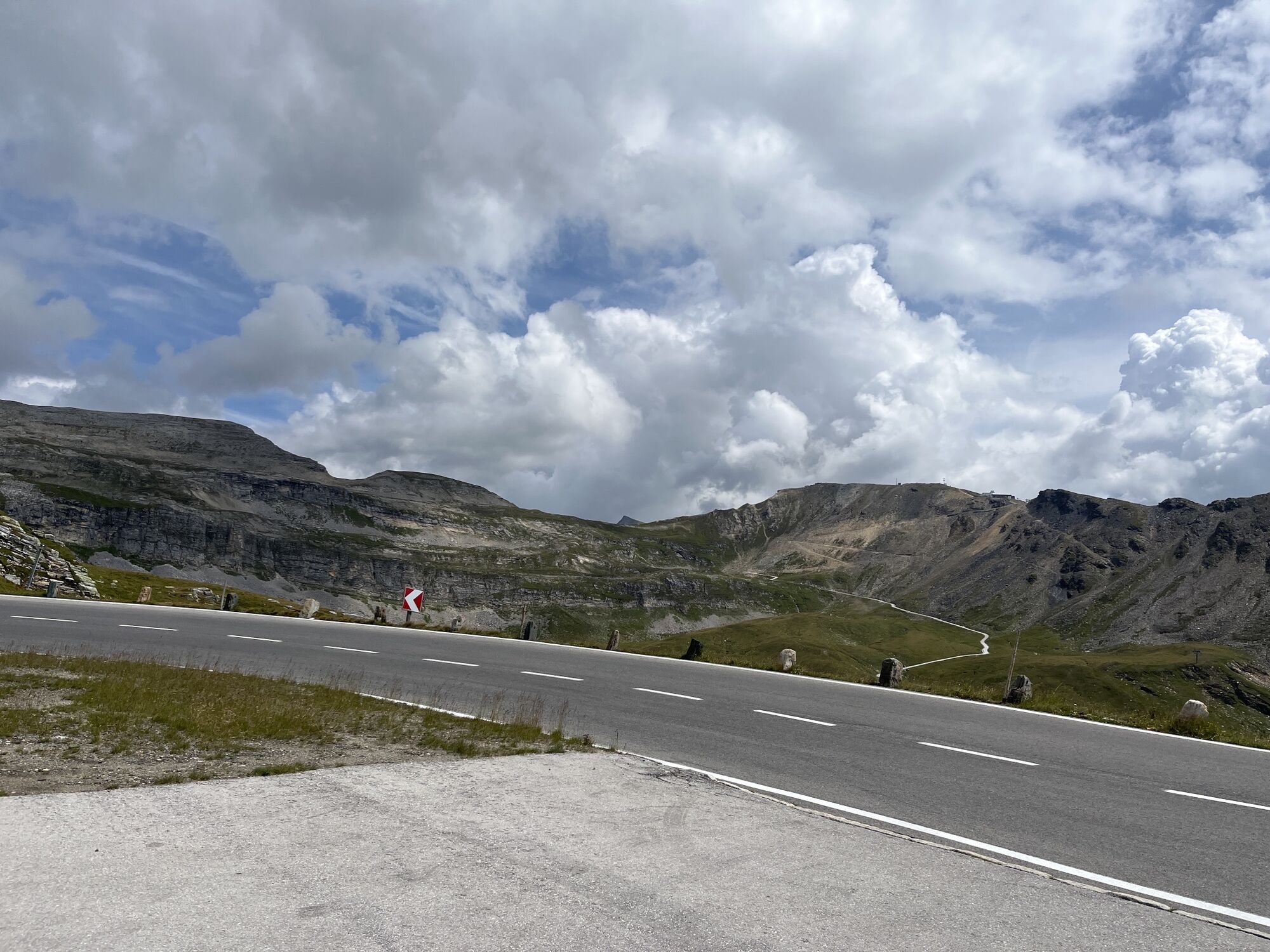
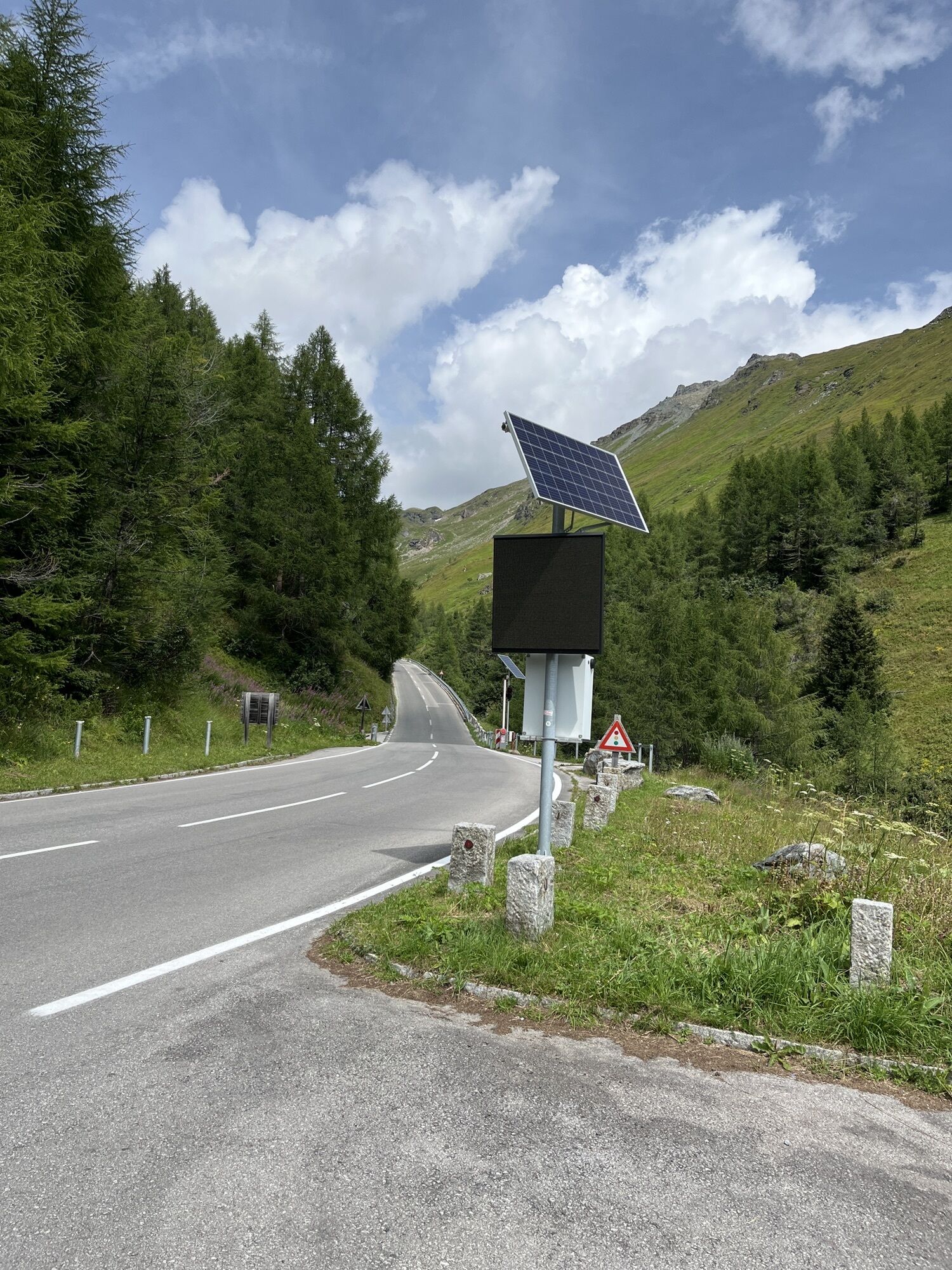
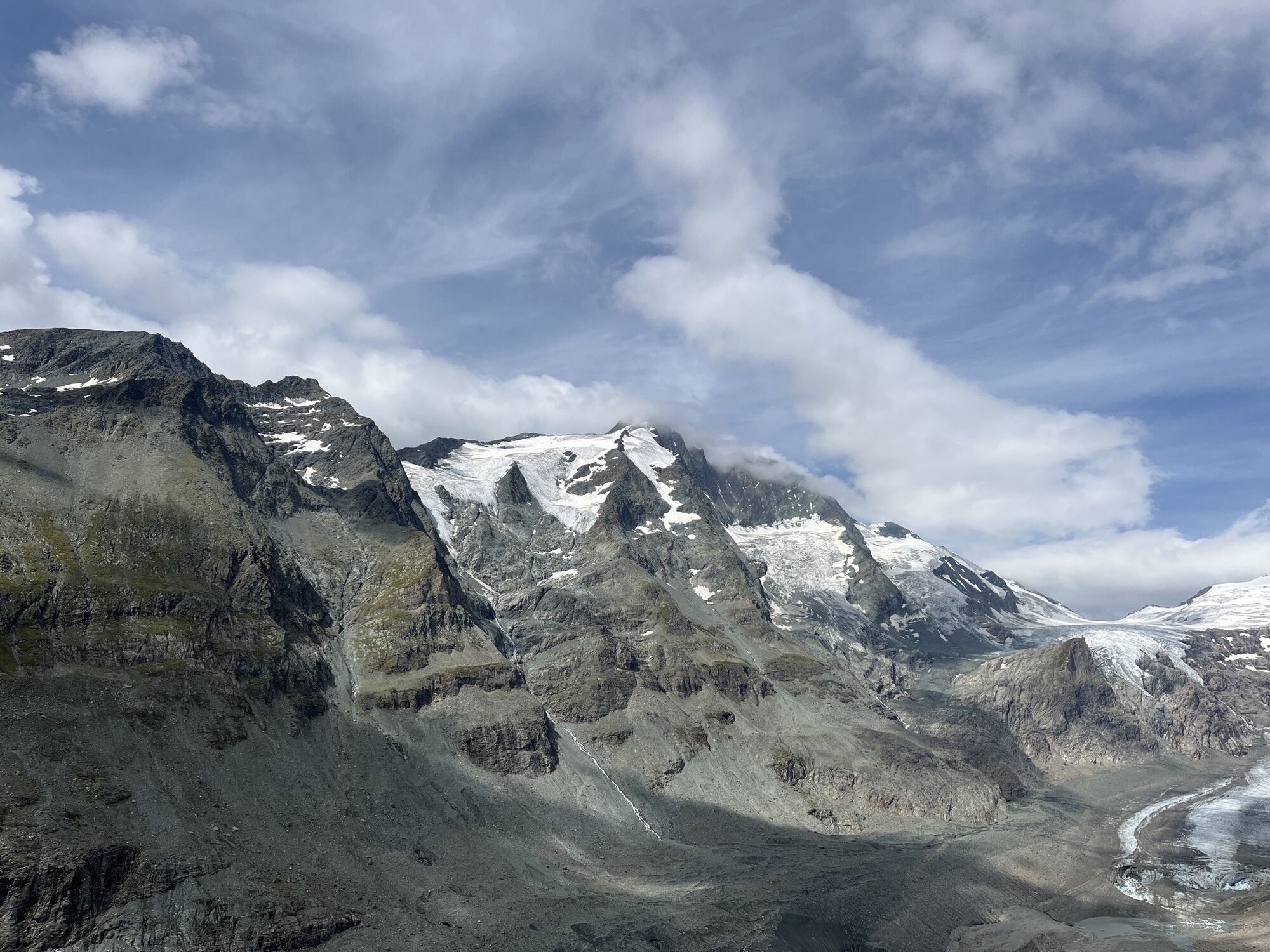
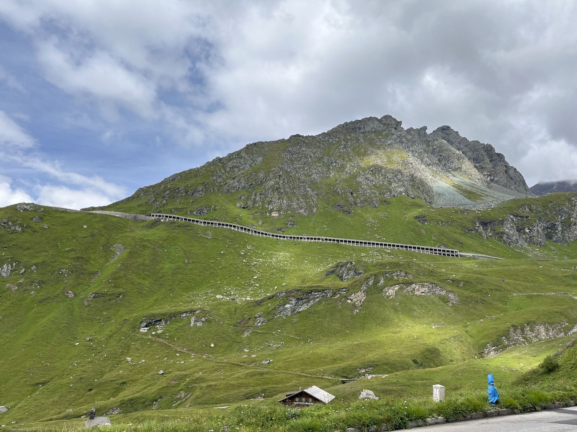
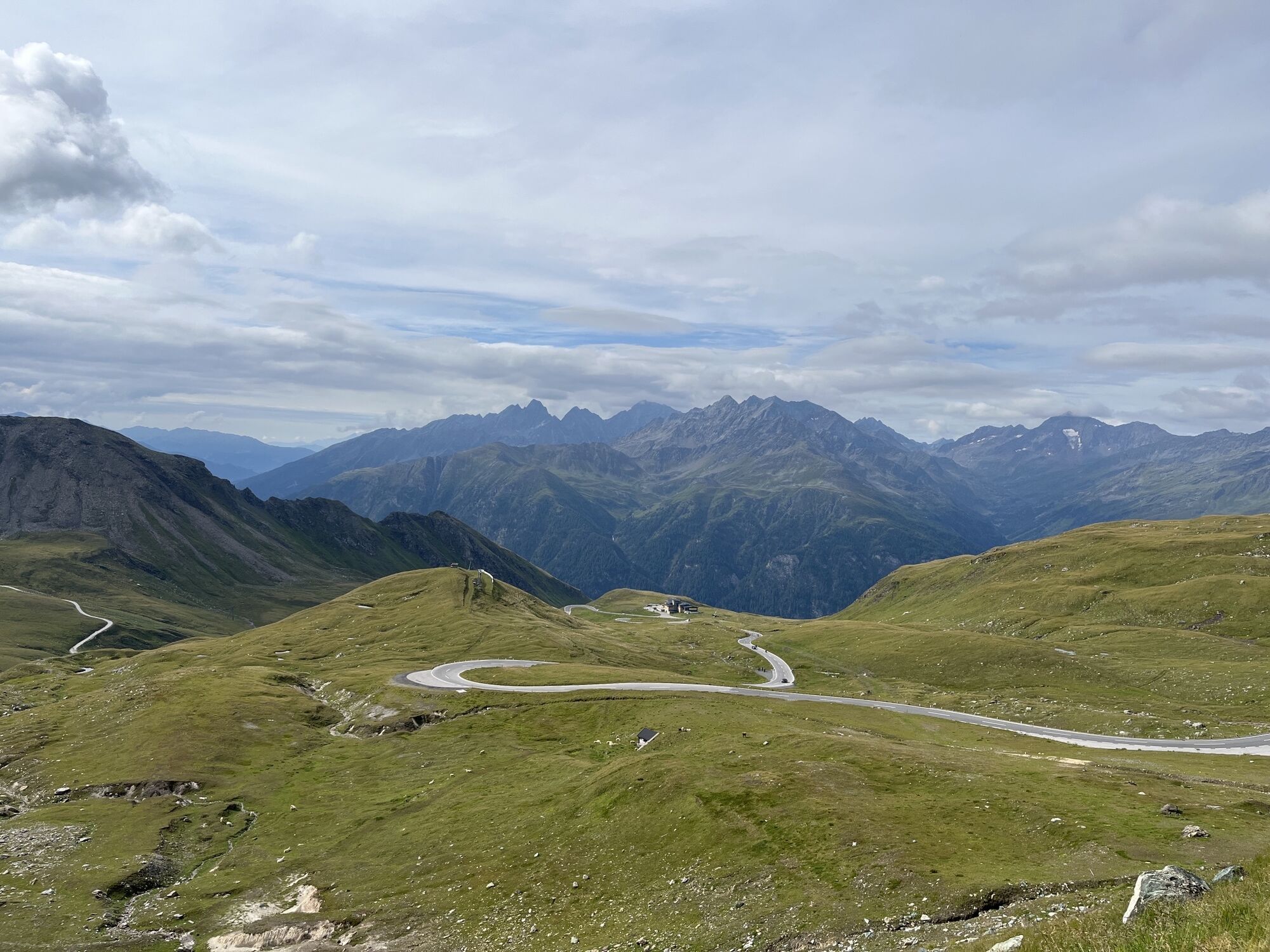
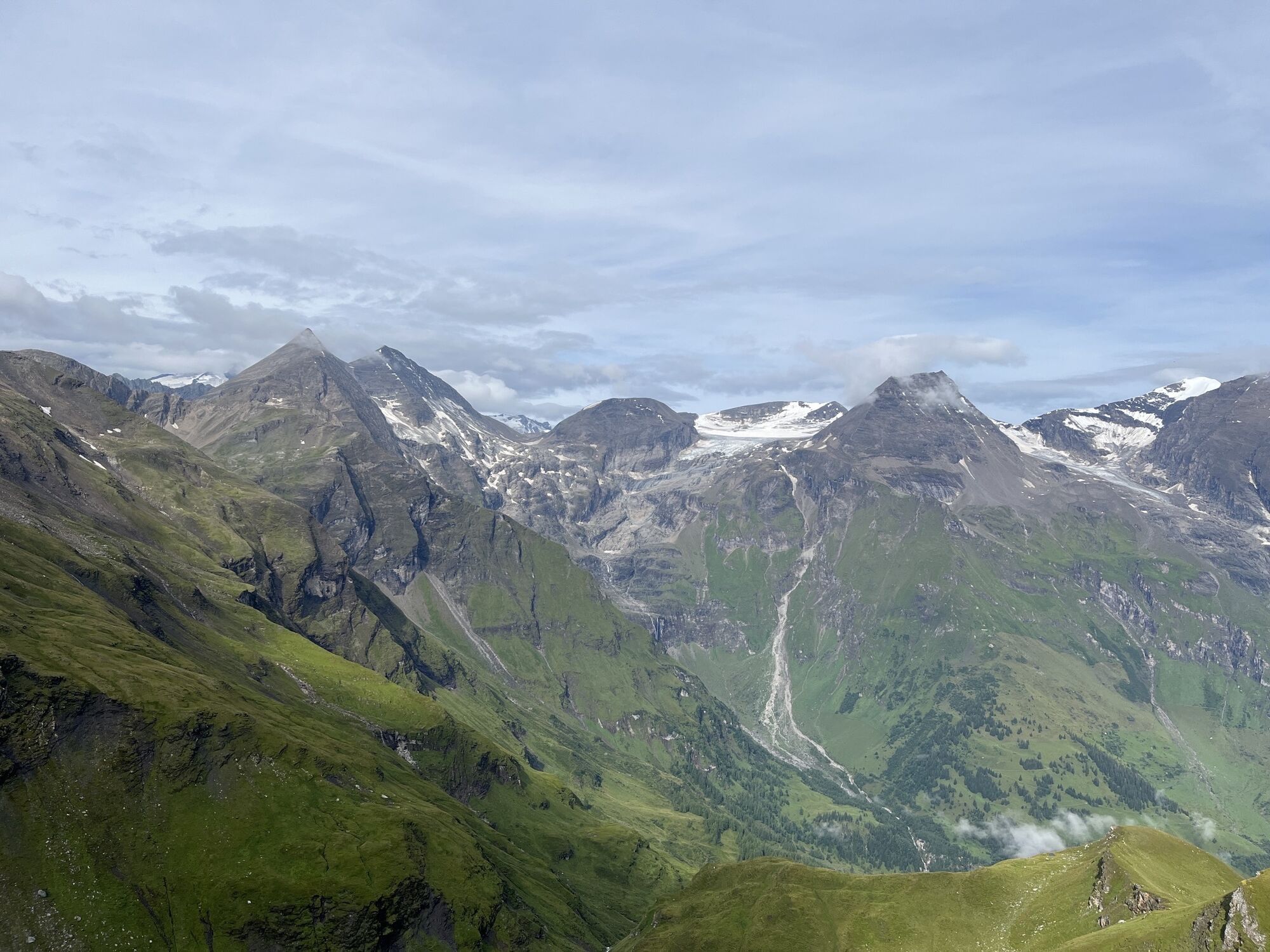
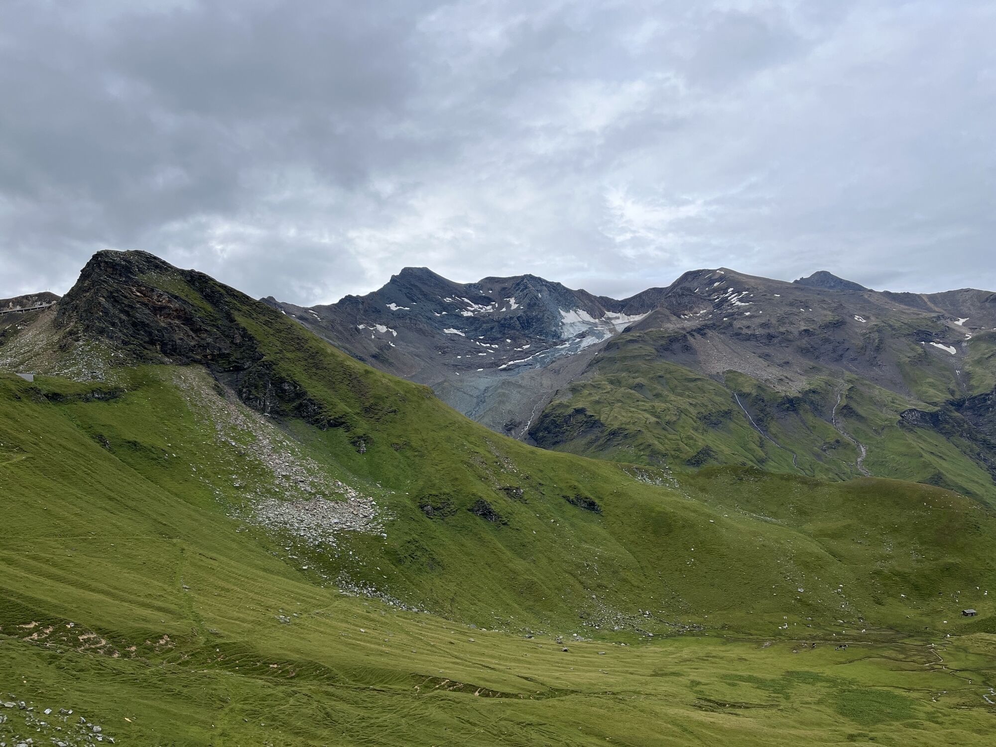
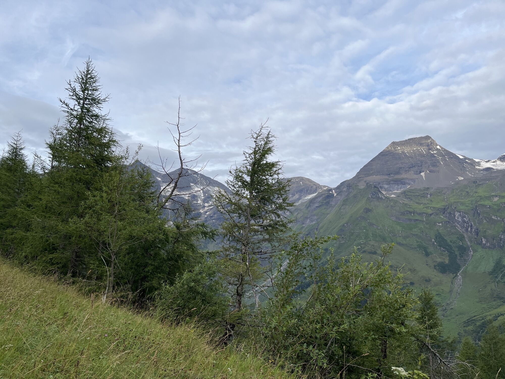
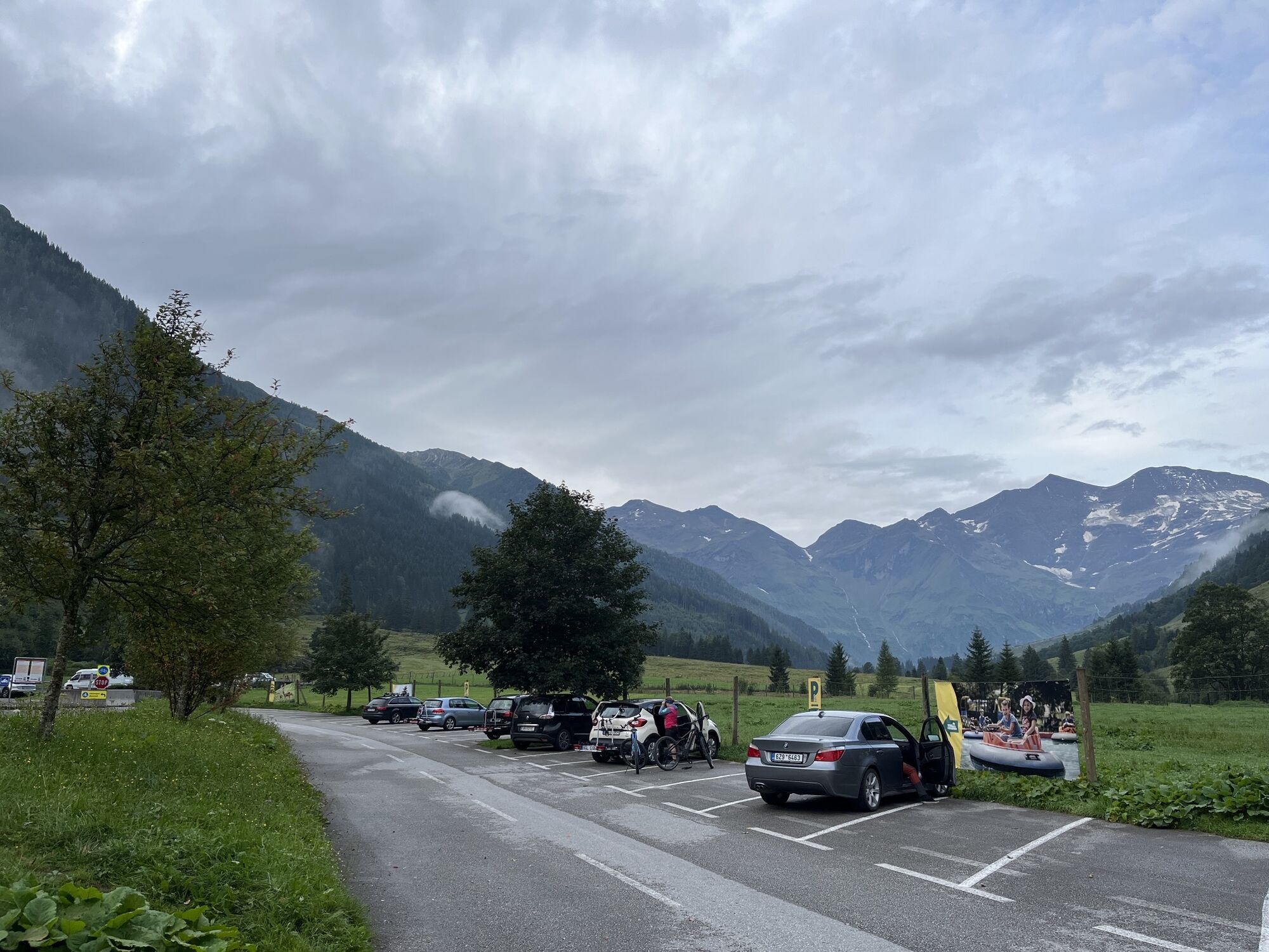
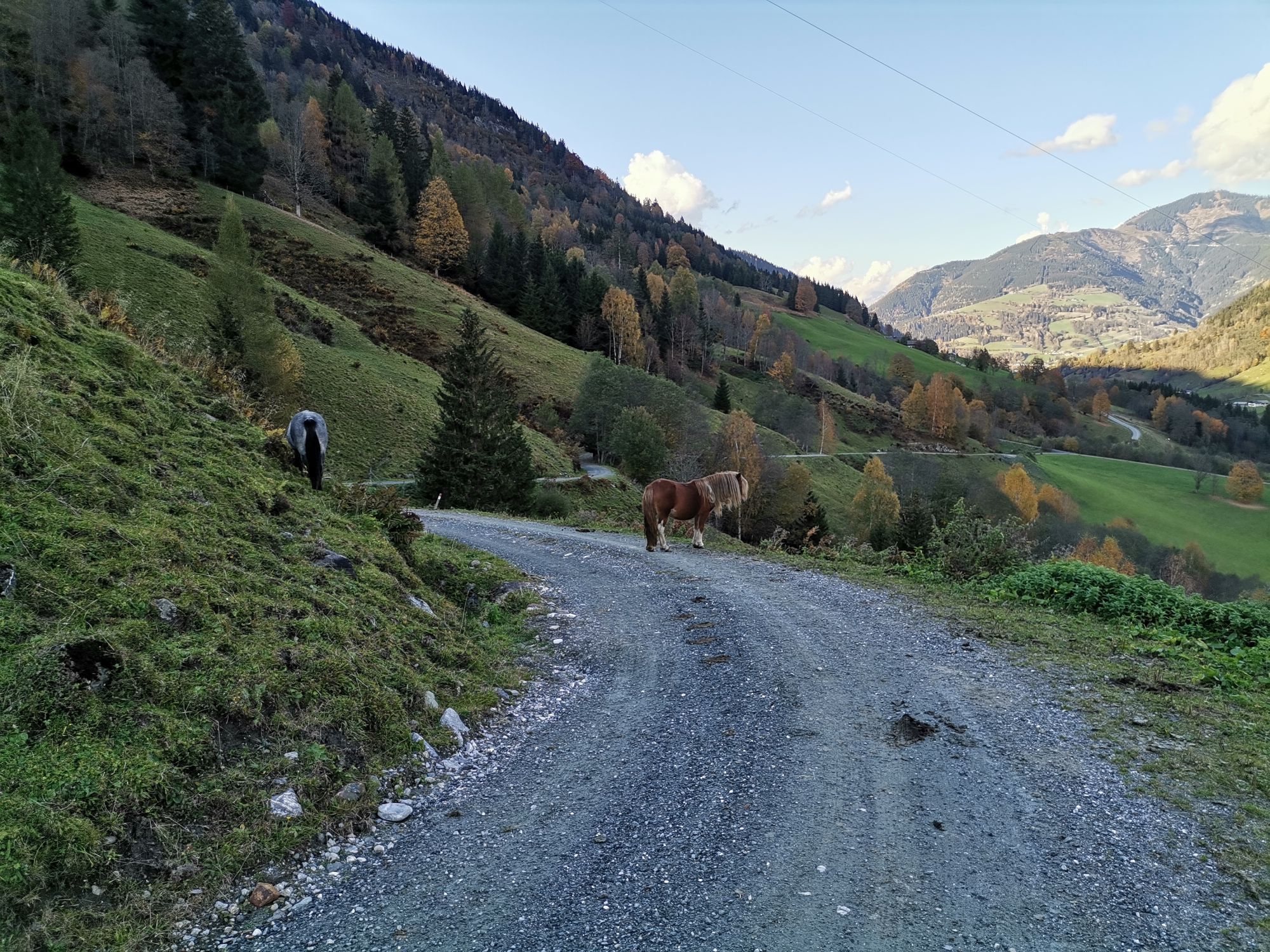
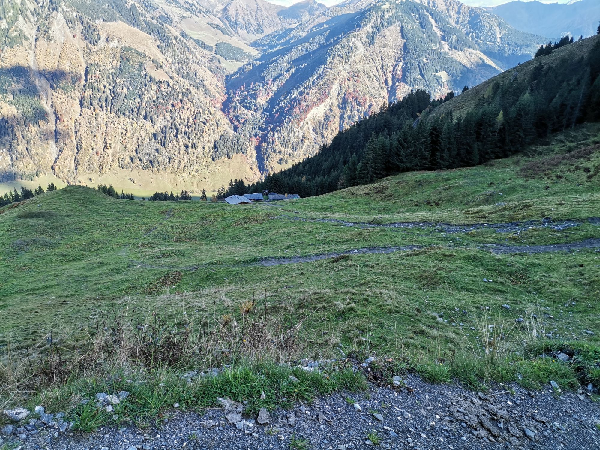
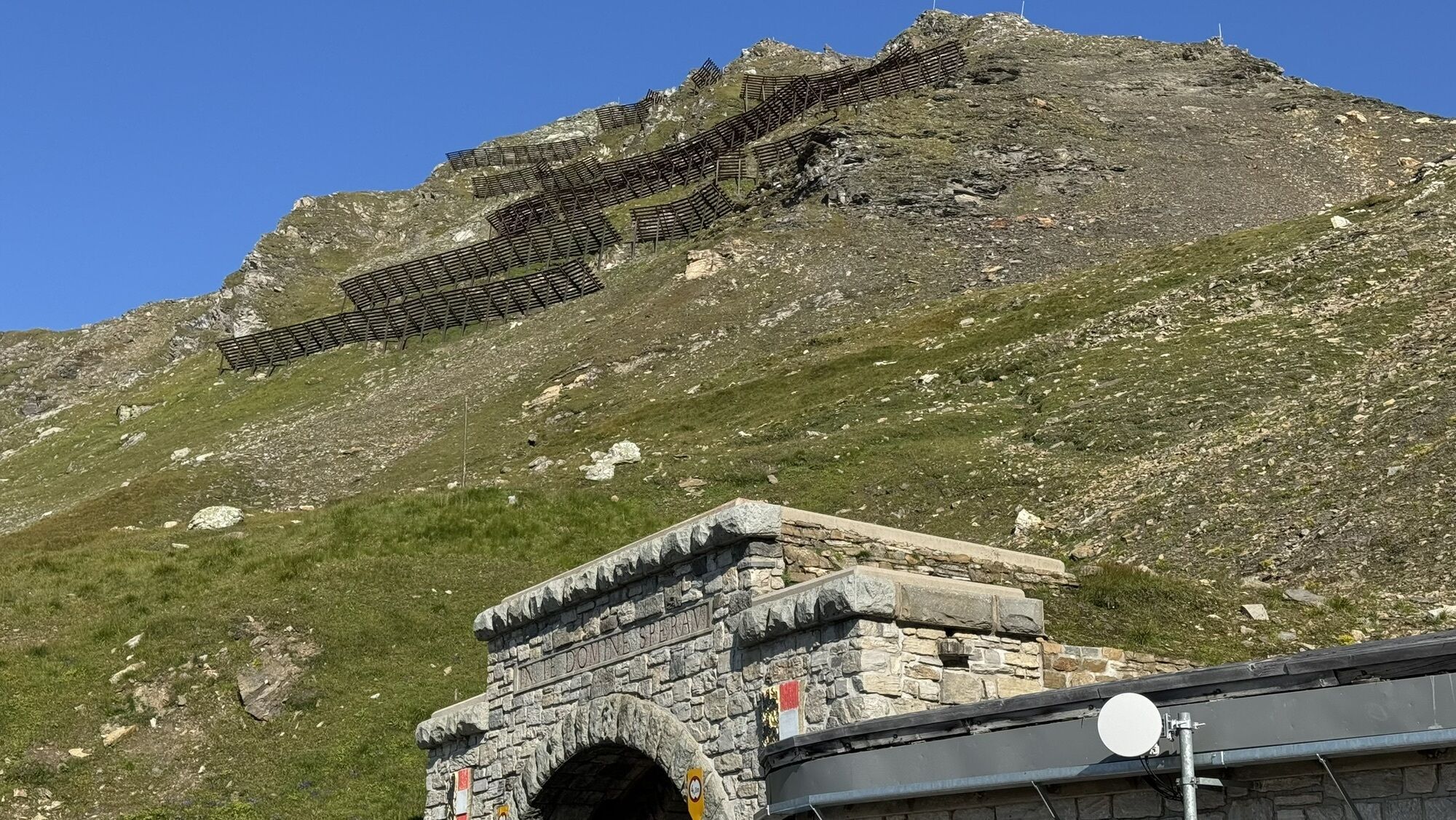
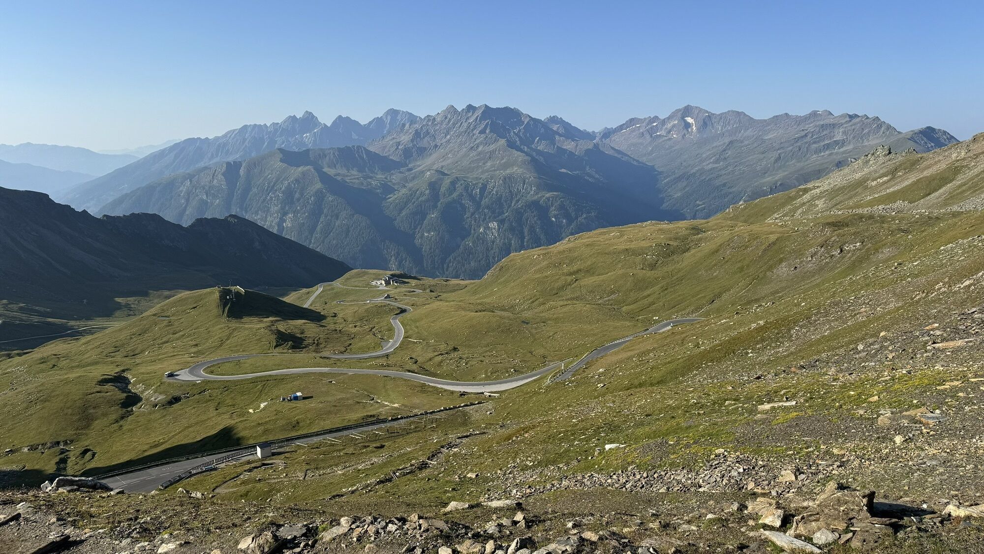
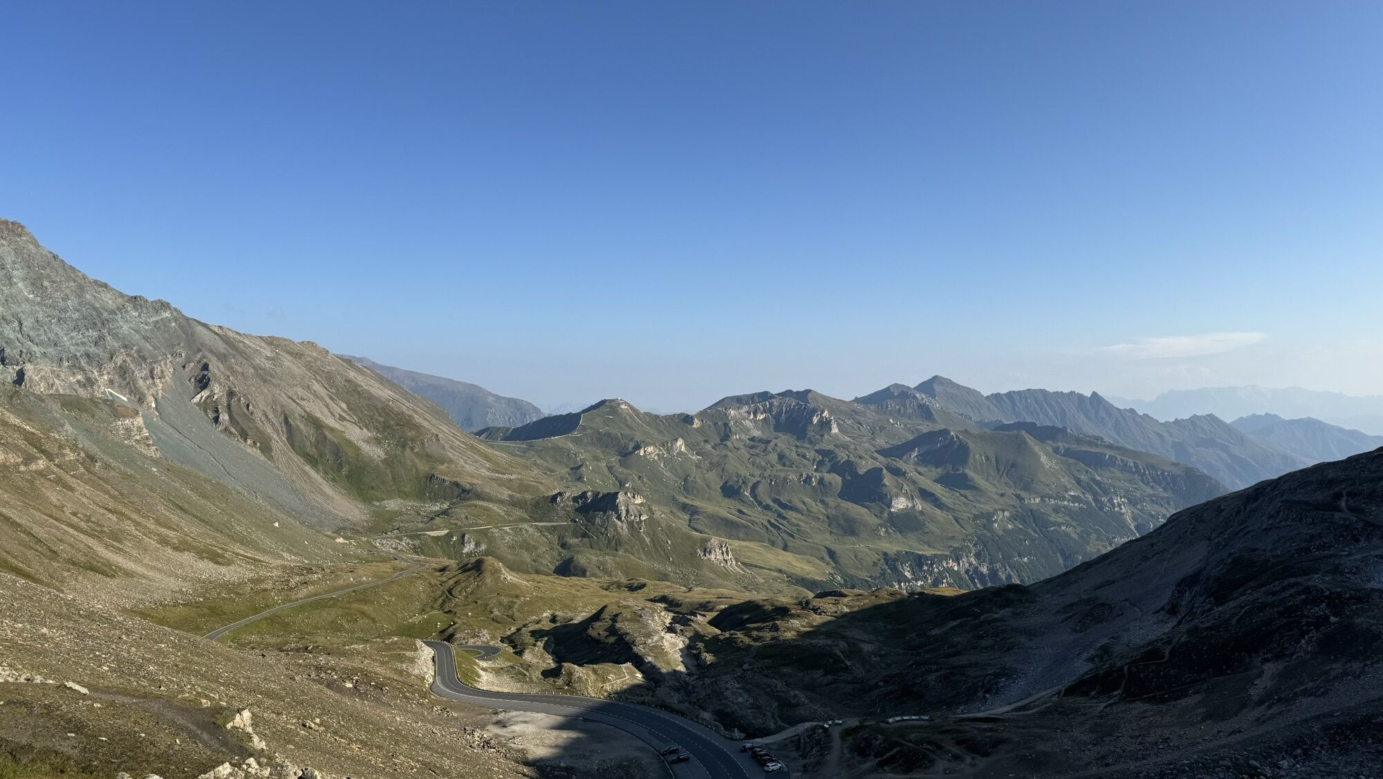
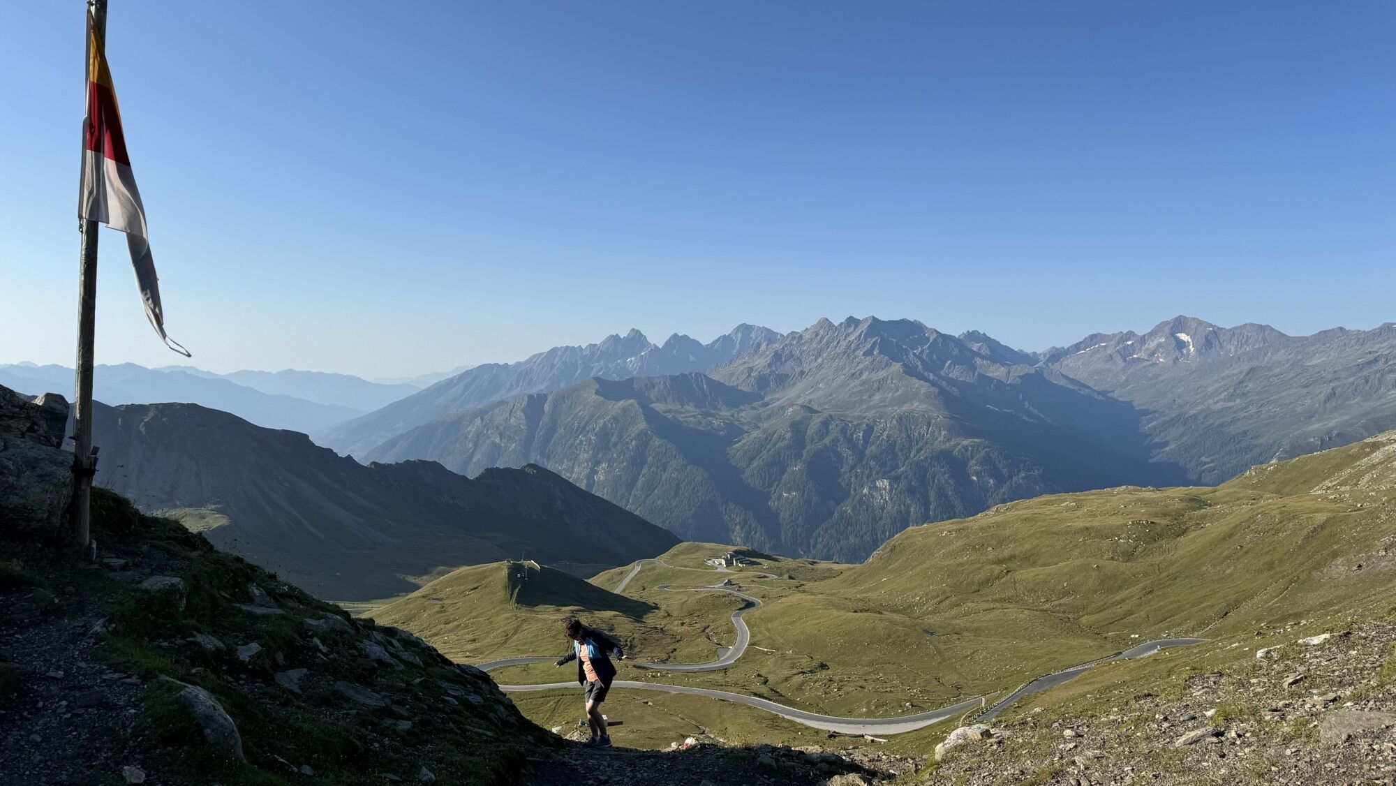
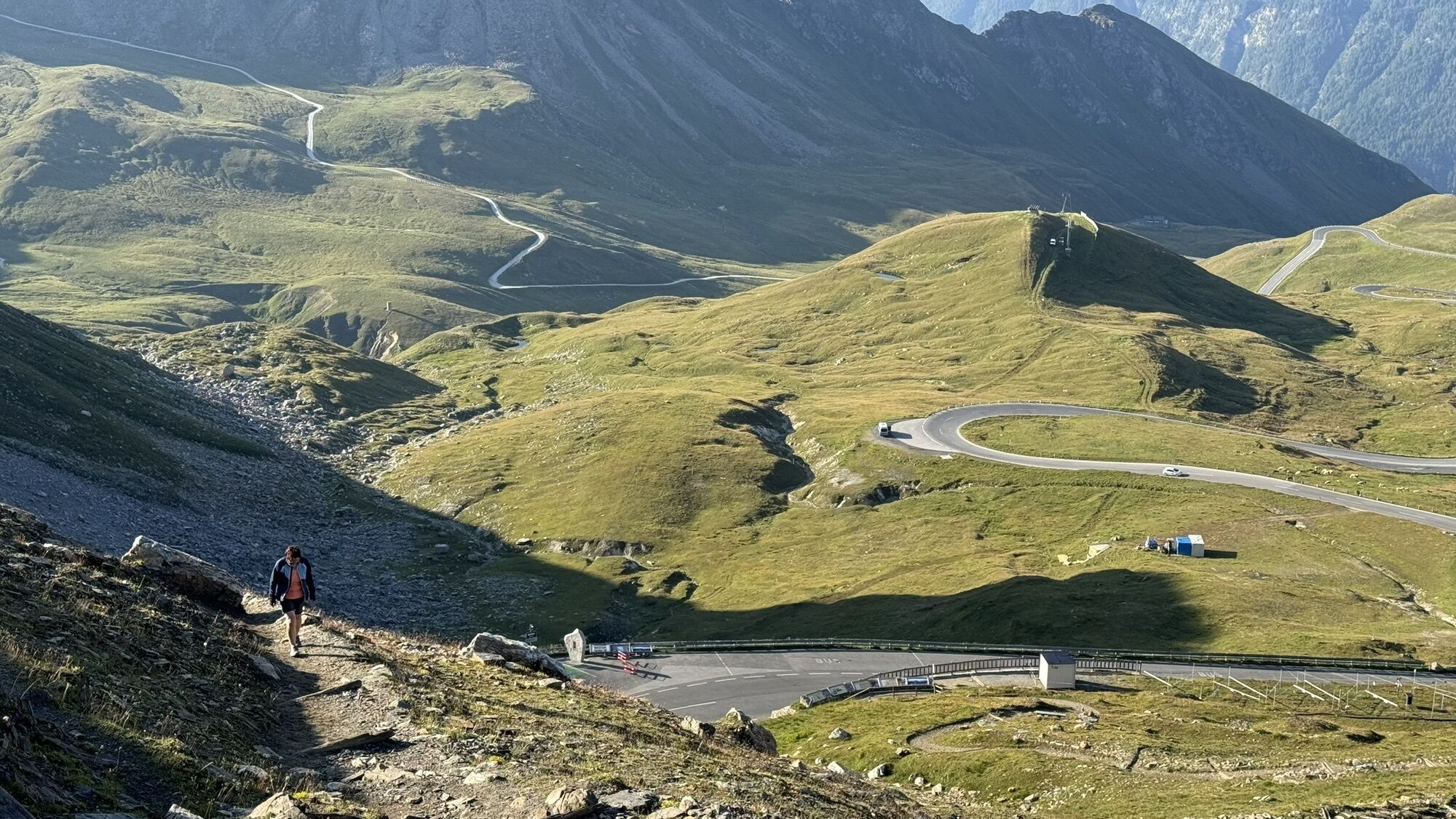
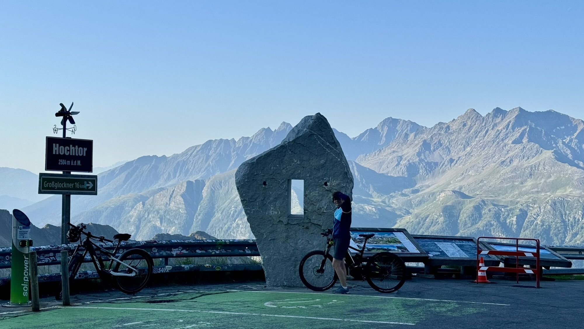
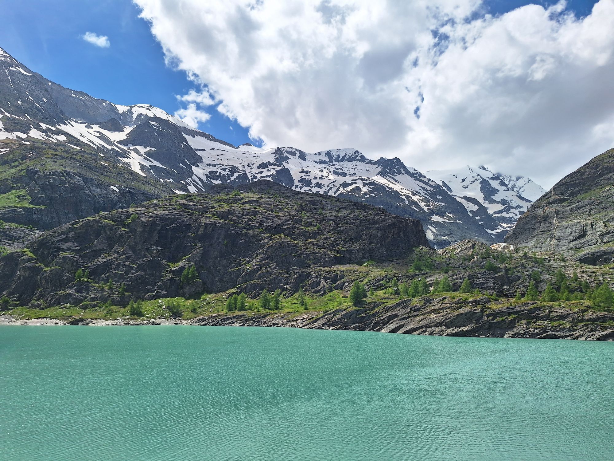
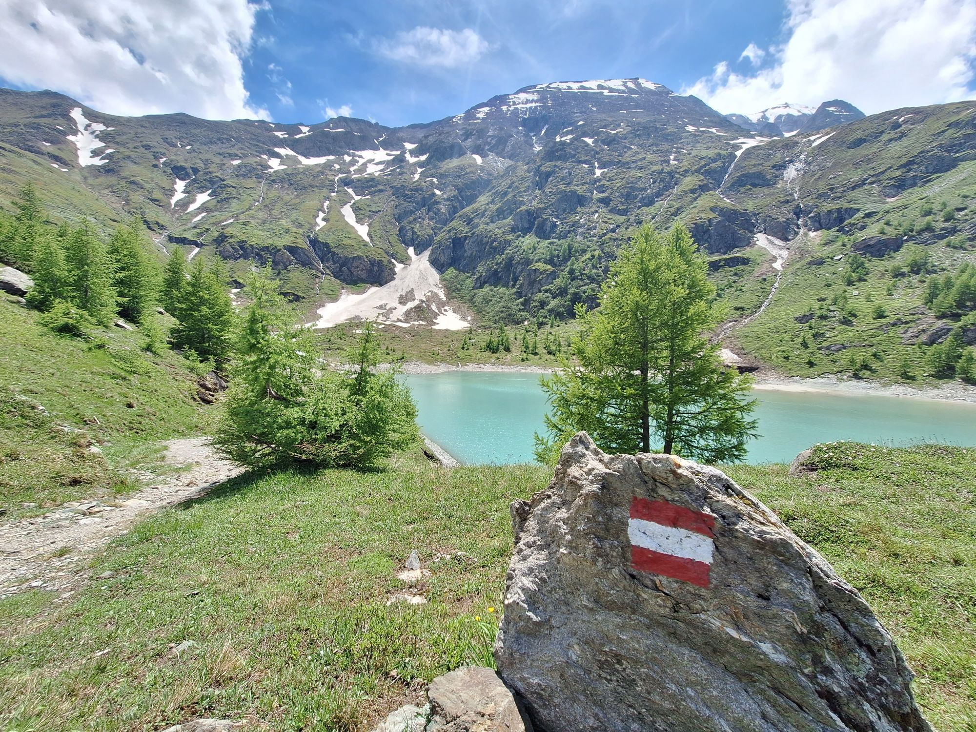
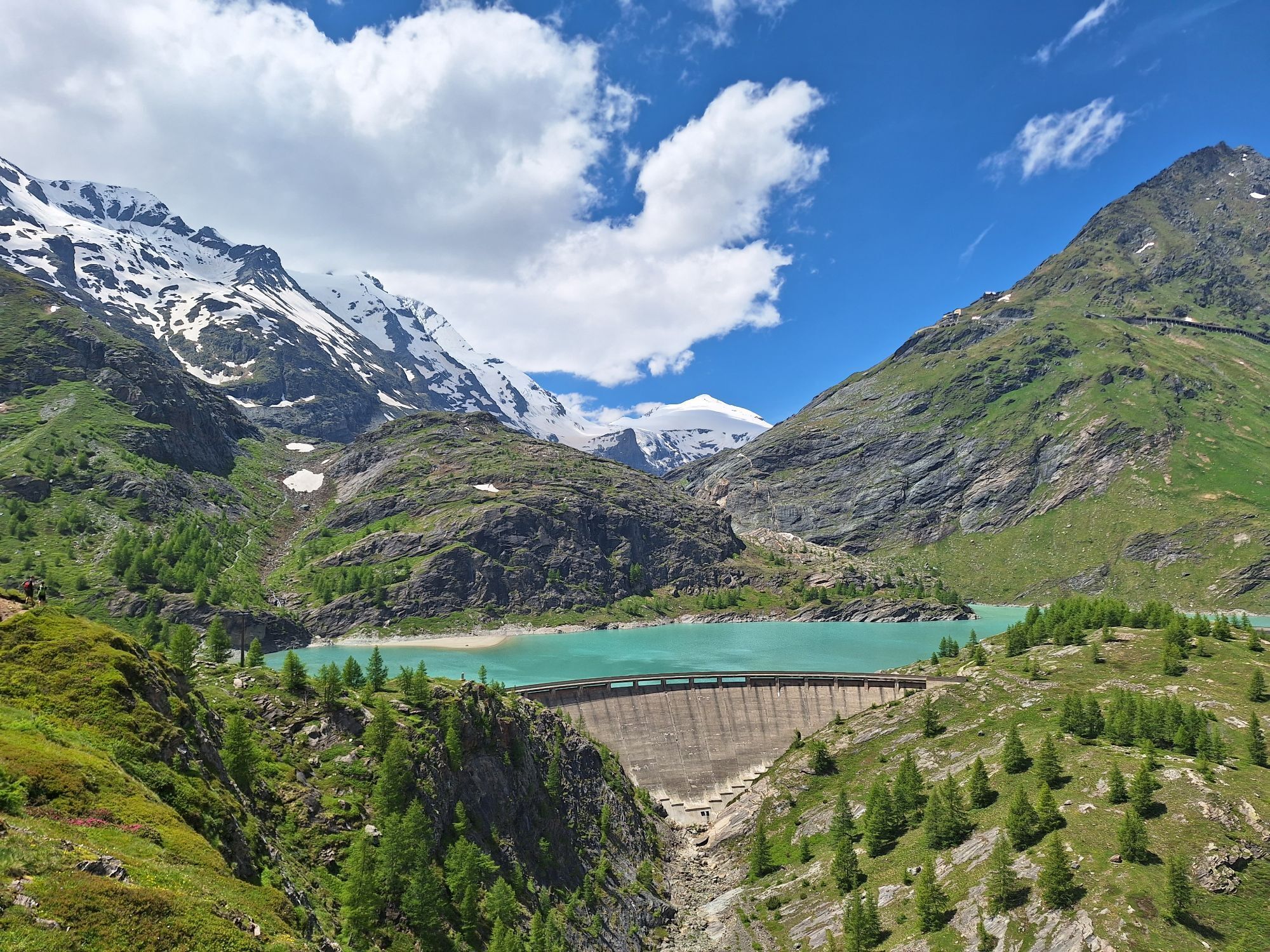


From Saalfelden, you travel to Maishofen and then continue to Thumersbach on the shore of Lake Zell, further to Bruck and Fusch. After 44 kilometers, the main ascent to Austria's highest mountain begins. Past Ferleiten, the impressive Alpine road winds continuously upwards for 1,283 meters of elevation and with a route length of 12.9 kilometers up to the Fuscher Törl at 2,428 m. Those who still have reserves can make a detour from the Fuscher Törl to the Edelweißspitze at 2,571 m (an additional 143 meters of elevation).
Very well-trained athletes can also tackle the second stage if they wish. First, it goes down in curves before the next ascent over Schöneck to the Kaiser Franz-Josefs Höhe at 2,369 m begins.
Áno
Áno
Please note:
The weather in high alpine areas can change very quickly. Snow in the summer months is not uncommon.
5
Webové kamery z prehliadky
-
Schmittenhöhe
-
Heiligenblut Ort
-
Fallbichl
-
Großglockner - KFJ-Höhe
-
Sonnkogel
-
Rossbach Mittelstation
-
Schmittenhöhe
-
Mitterberg bei Thumersbach
-
Sommerrodelbahn
-
Großglockner - Edelweißspitze
-
Großglockner - Fuschertörl
-
Zell am See / Hotel Berner
-
Mesenatenhütte, Wallackhaus
-
Schmittenhöhe
-
Schmittenhöhe
-
Freiwandeck
-
Mesenatenhütte, Wallackhaus
-
Zell am See
-
Saalfelden
-
Leogang Schanteilift
-
Thumersbach
-
Schareck
-
Sommerrodelbahn
-
Sommerrodelbahn
-
Sommerrodelbahn
-
Sommerrodelbahn
-
Sommerrodelbahn
-
Fallbichl
-
Fallbichl
-
Maishofen Sausteige
-
Maishofen - Schloss Kammer
-
Rossbach Mittelstation
-
Rossbach Mittelstation
-
Rossbach Mittelstation
-
Heiligenblut Ort
-
Heiligenblut Ort
-
Heiligenblut Ort
-
Adlersruhe
-
Maishofen Dorfplatz
-
Berggeistalm
Získajte prehľad
Vždy naživo na mieste s viac ako 9 500 webovými kamerami. bergfex Ako používateľ Pro si teraz môžete pozrieť príslušné webové kamery pre mnohé zájazdy v aplikácii zájazdy z. Môžete si tak priamo prezerať aktuálne podmienky.


Obľúbené výlety v okolí
-
4,7
Kaiser-Franz-Josefs-Höhe to Oberwalderhütte
ťažkéTuristika 5,52 km -
4,7
Geotrail Tauernfenster
svetloTuristika 5,90 km -
4,4
Glacier Route to the Pasterze with Gamsgrubenweg (up to Tunnel 6)
strednáTuristika 8,05 km -
4,9
Figerhorn 2743m, Lucknerhaus
ťažkéTuristika 6,69 km -
4,9
Glockner
strednáVysoké turné 19 km -
4,8
Glödis 3206m: PP Seichenbrunn, Lienzer Hütte, Glödis KS A/B
ťažkéVysoké turné 16,1 km -
4,5
Spielmann
strednáTuristika 9,48 km -
4,9
Glockner Alpincenter - Salmhütte - Hohenwartkees
strednáTuristika 8,64 km -
5,0
Wasserfallboden/Mooserboden
ťažkéTuristika 19,5 km -
4,4
Stüdlhütte -Großglockner
Turistika 4,68 km
Turistika a stopovanie


Nenechajte si ujsť ponuky a inšpiráciu na ďalšiu dovolenku
Vaša e-mailová adresa bol pridaný do poštového zoznamu.





