


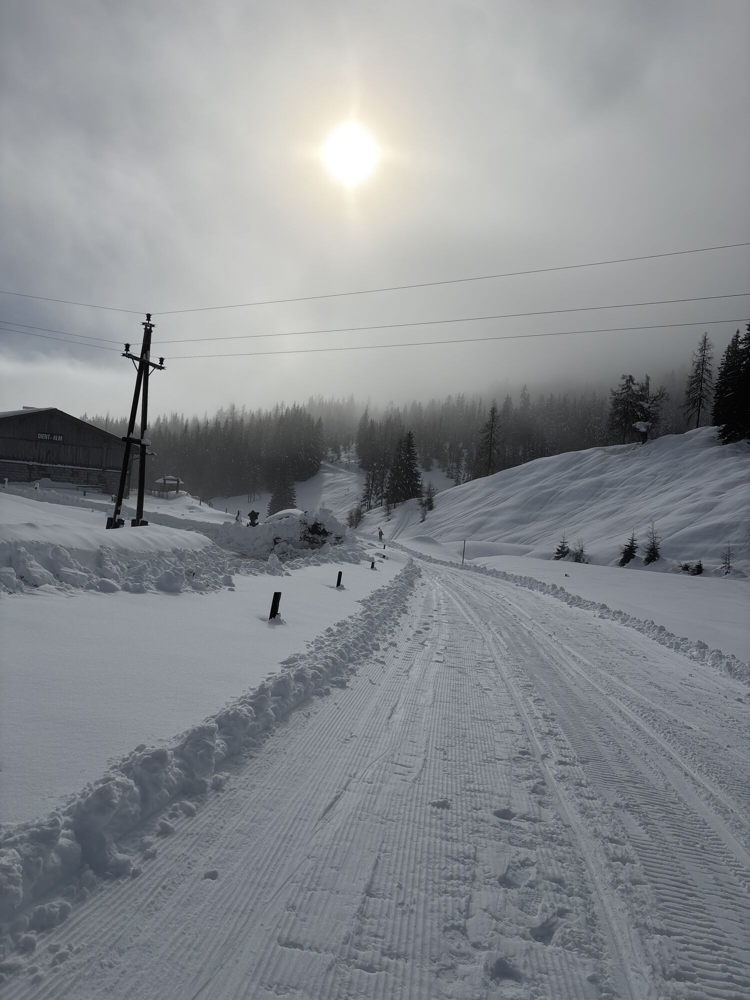
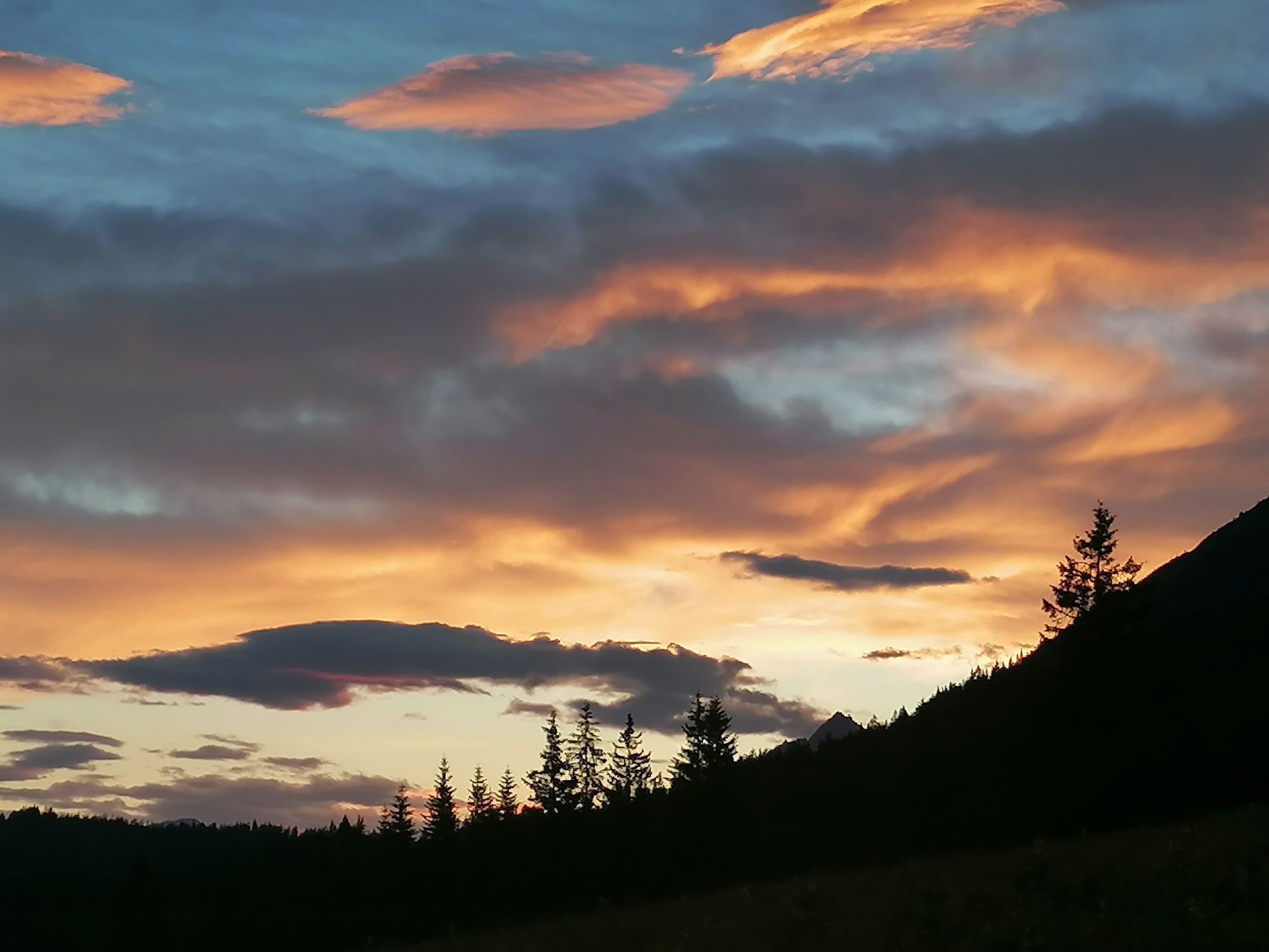
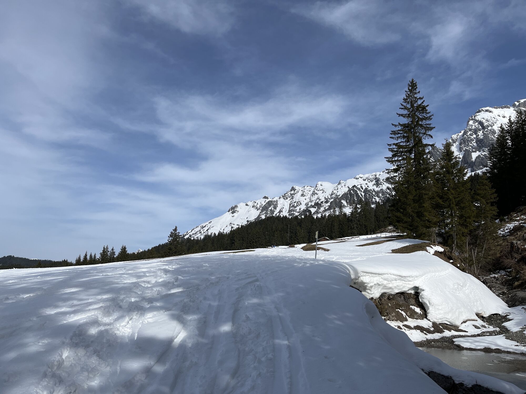
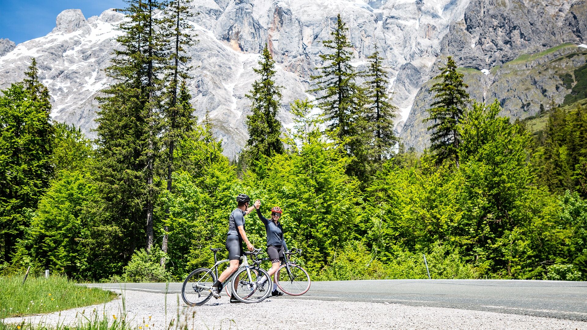
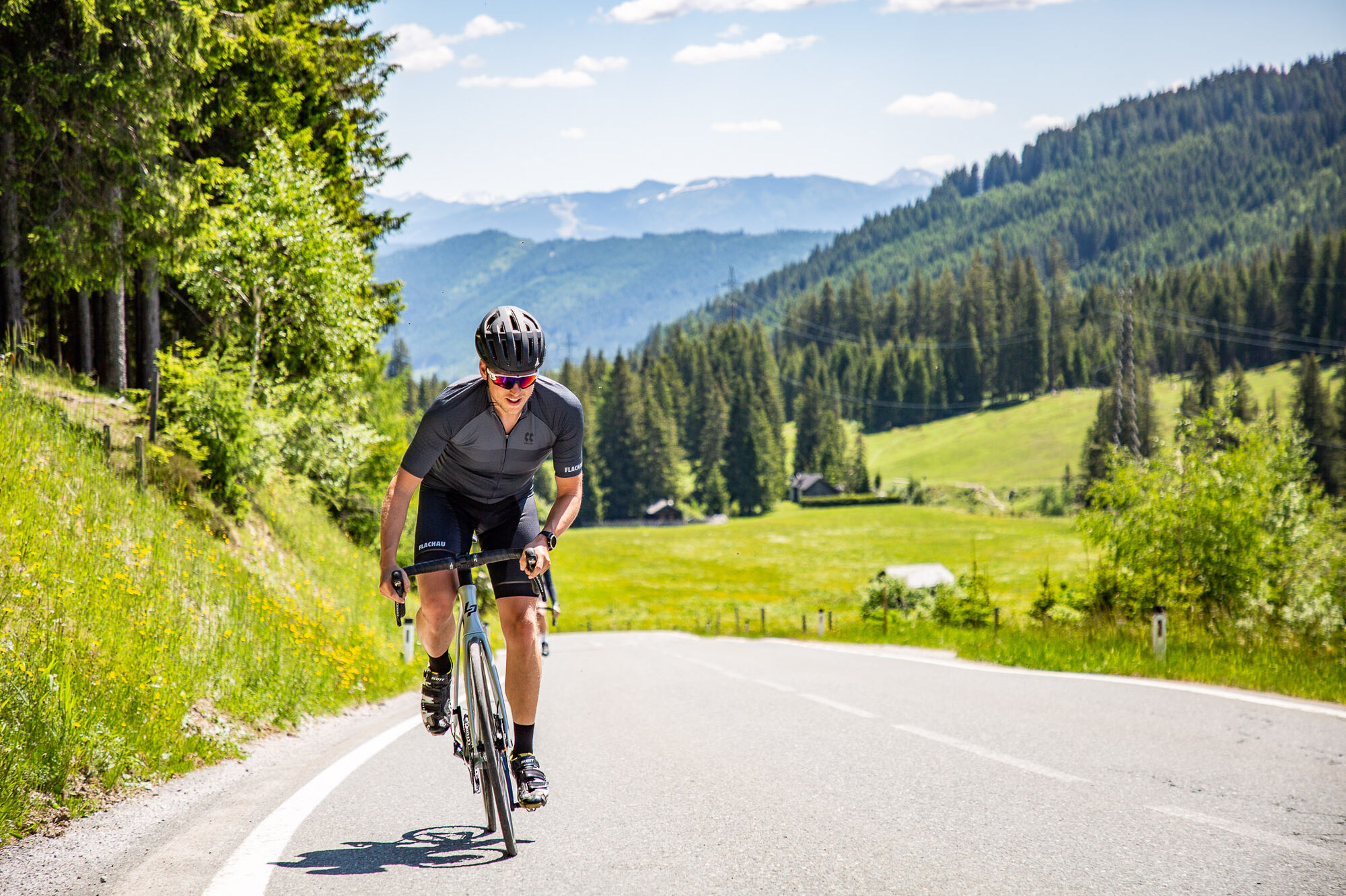
Mühlbach - Dienten - Schwarzach
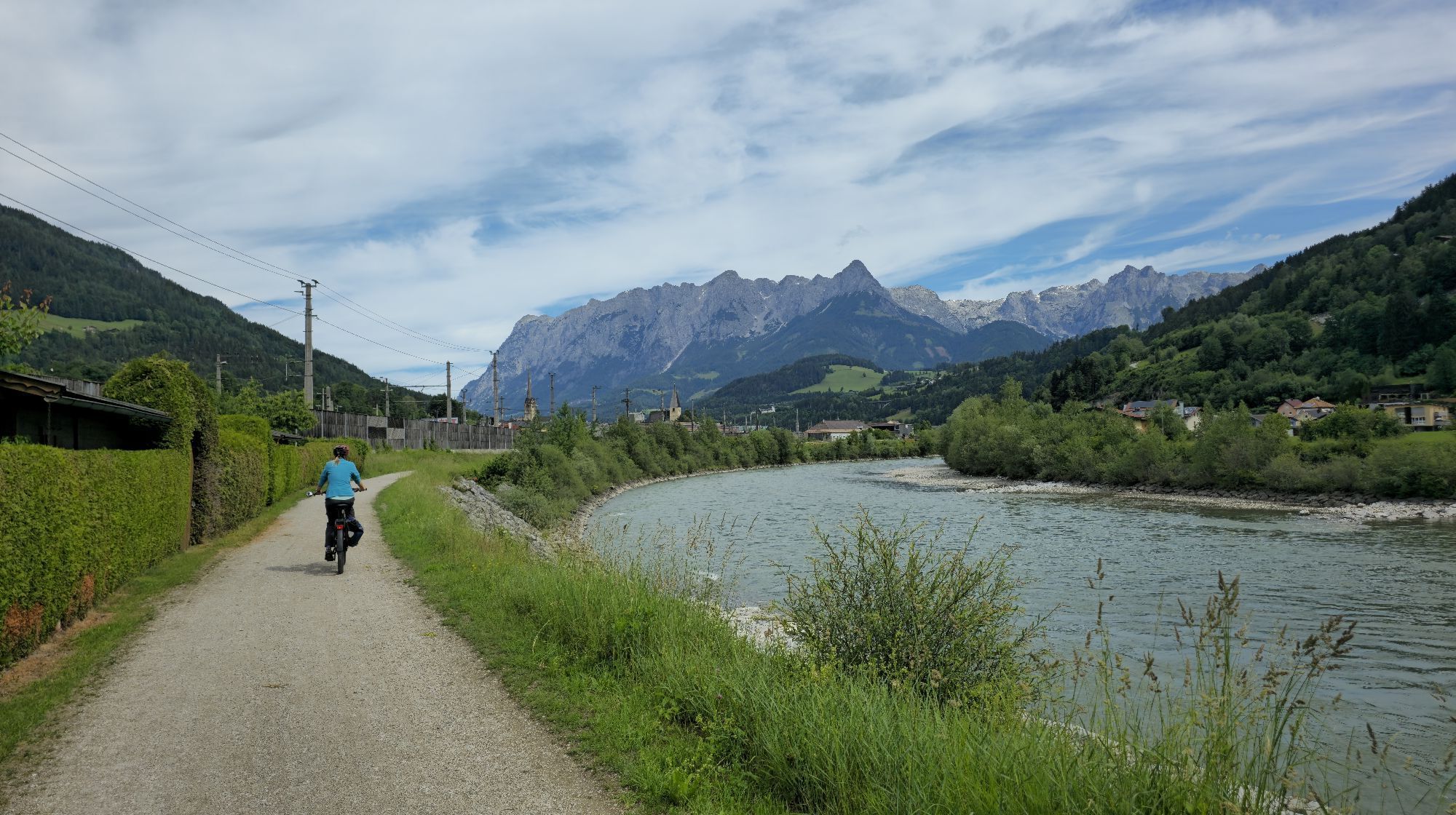
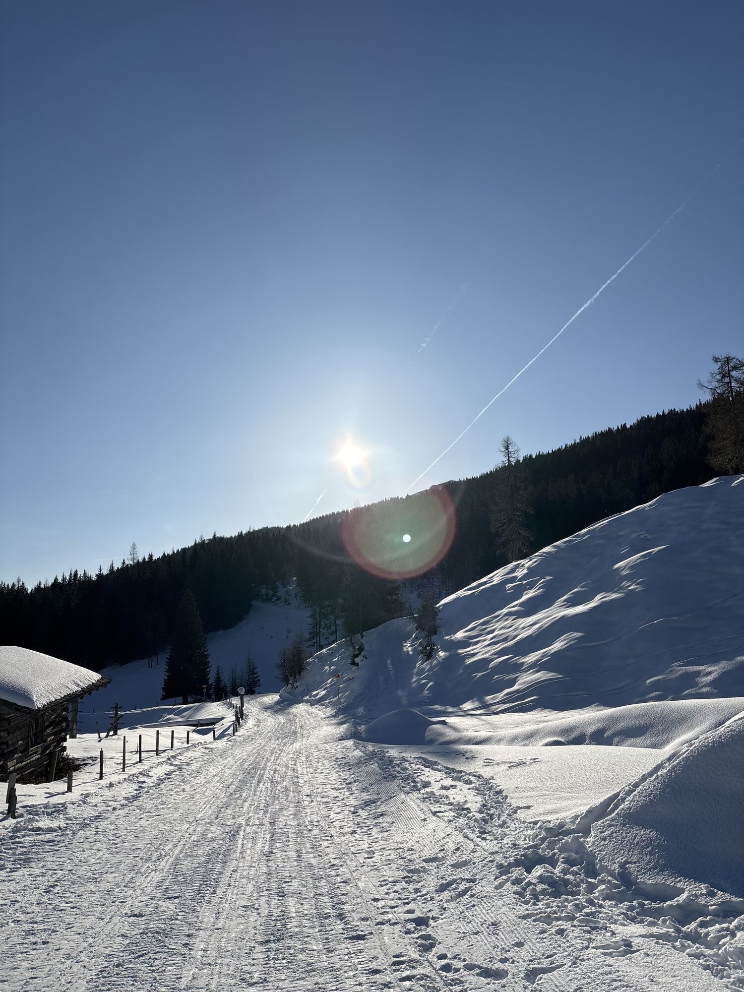
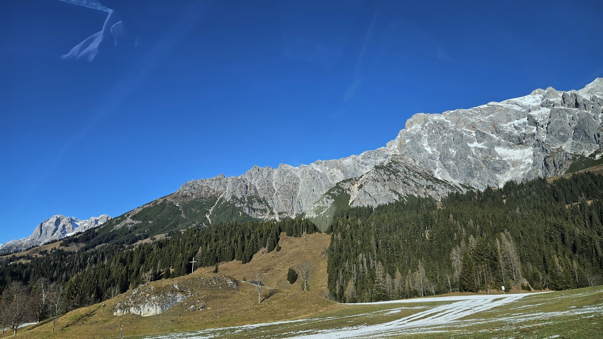
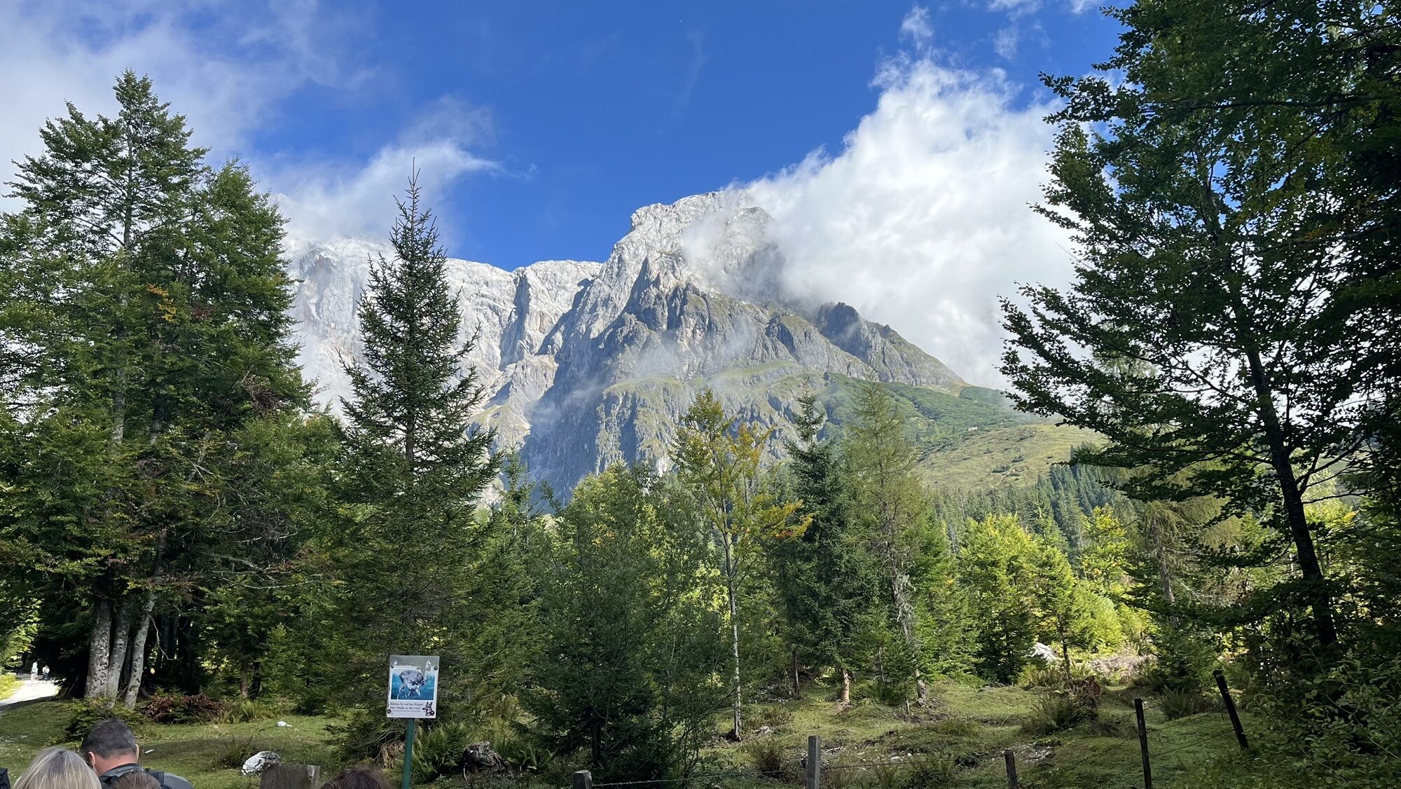
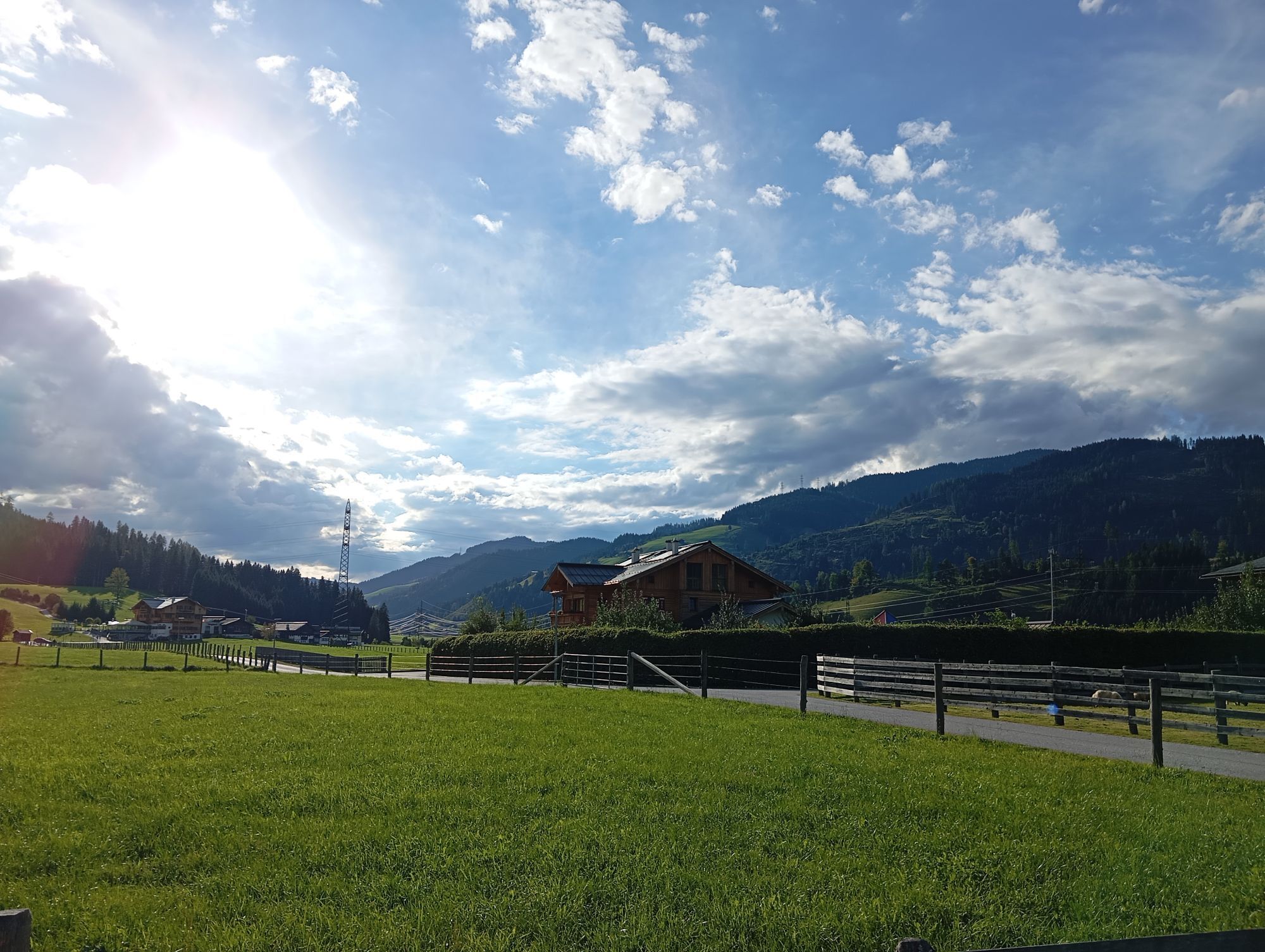
The Dienten Pass is the highlight of this beautiful route. Along the Fritz valley, it goes to Bischofshofen and via Mühlbach at Hochkönig to the Dienten Pass. Returning via Lend, Schwarzach, St. Johann...
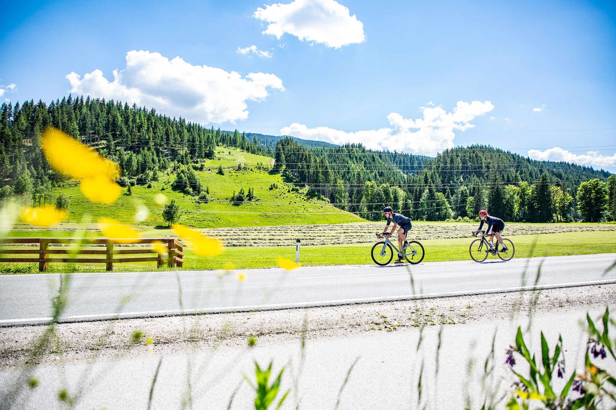
The Dienten Pass is the highlight of this beautiful route. Along the Fritz valley, it goes to Bischofshofen and via Mühlbach at Hochkönig to the Dienten Pass. Returning via Lend, Schwarzach, St. Johann and Wagrain to Flachau, this route remains unforgettable with its variety of climbs, great descents and a charming natural backdrop.

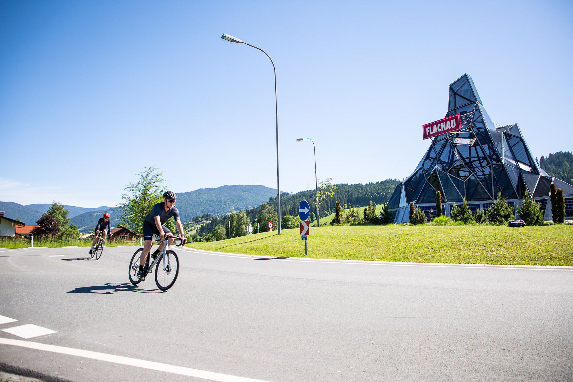
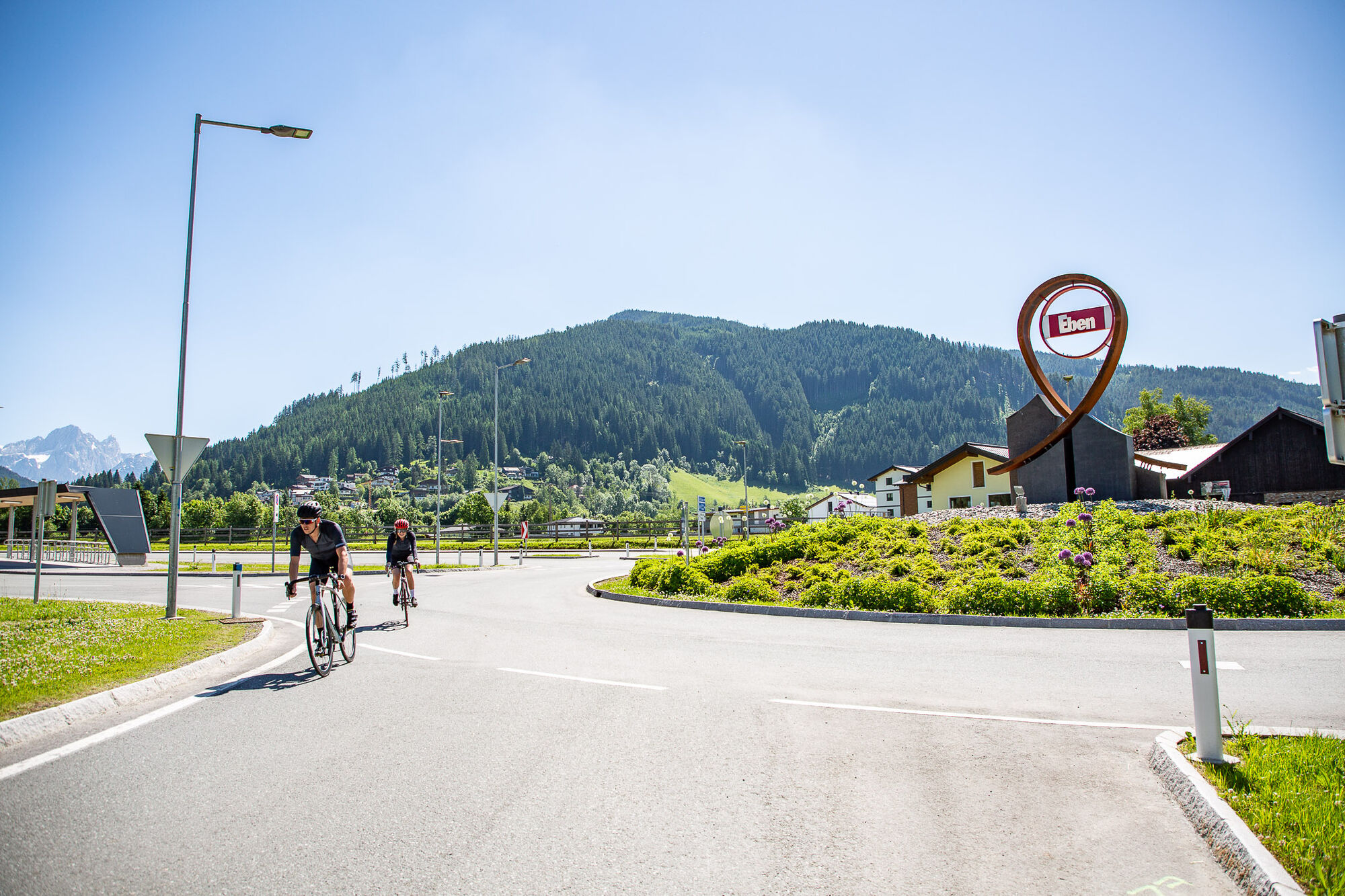
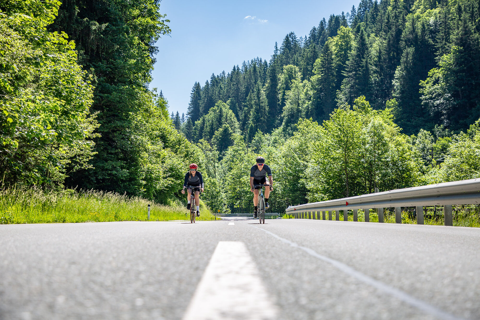
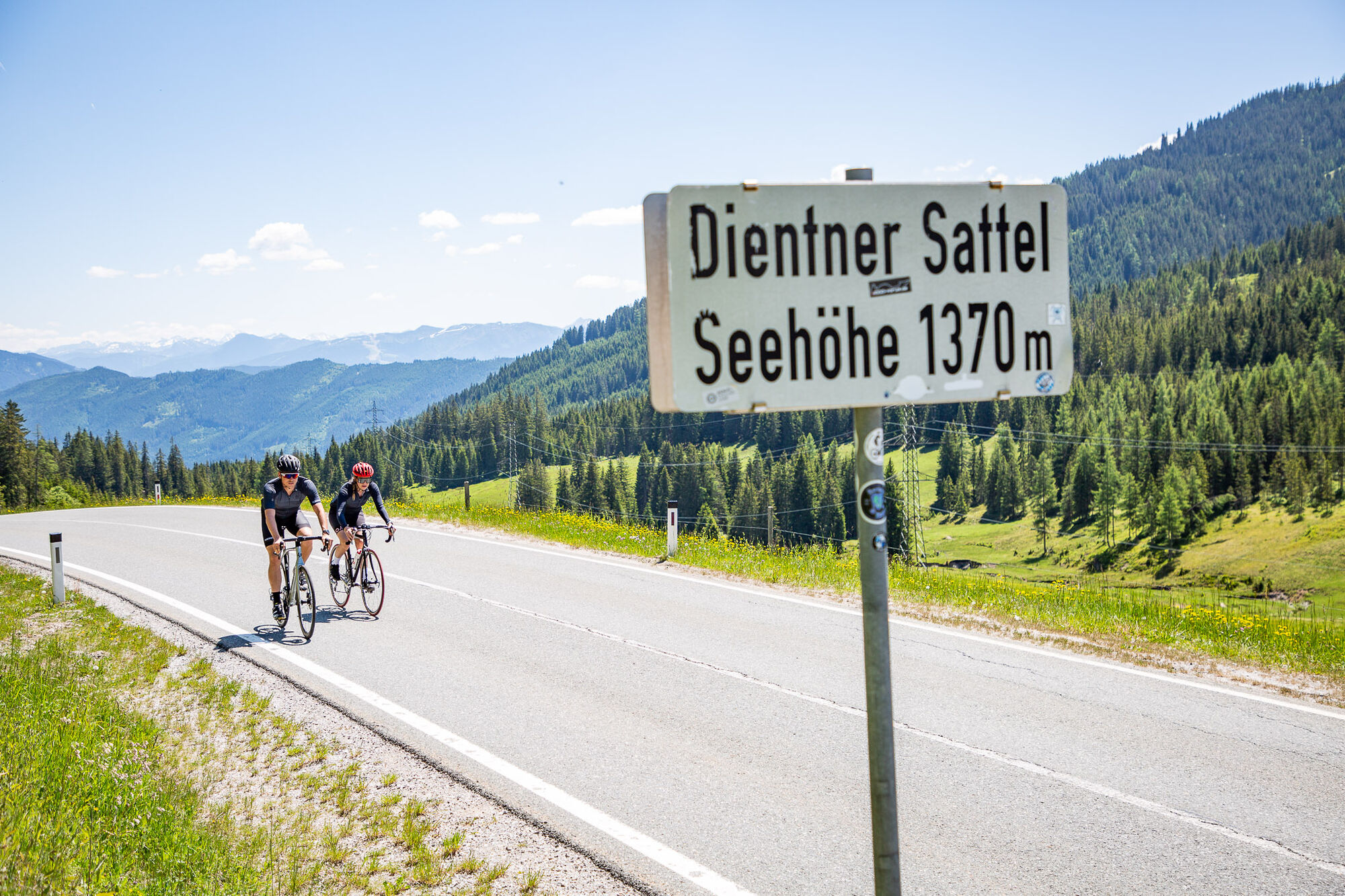


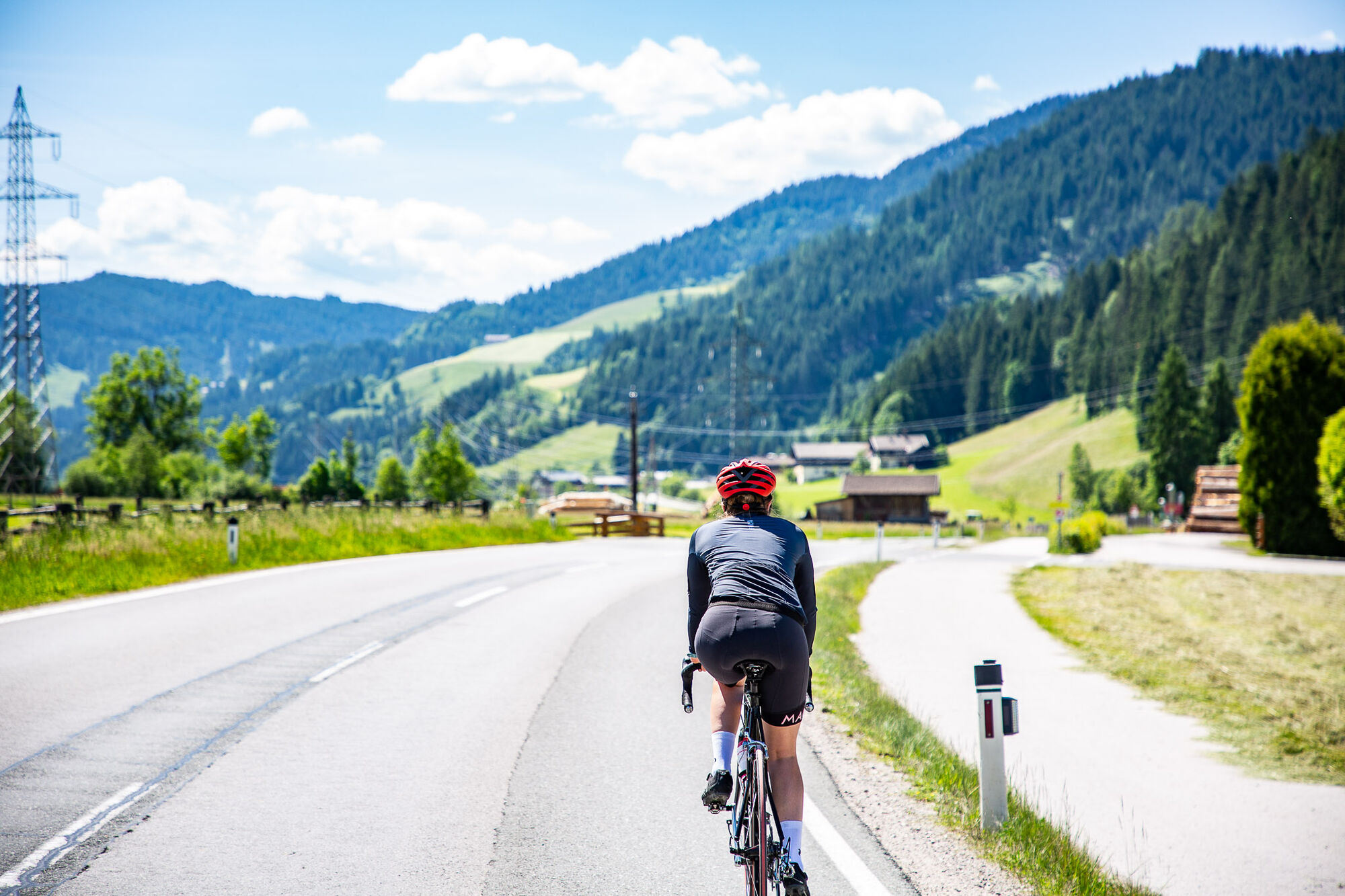
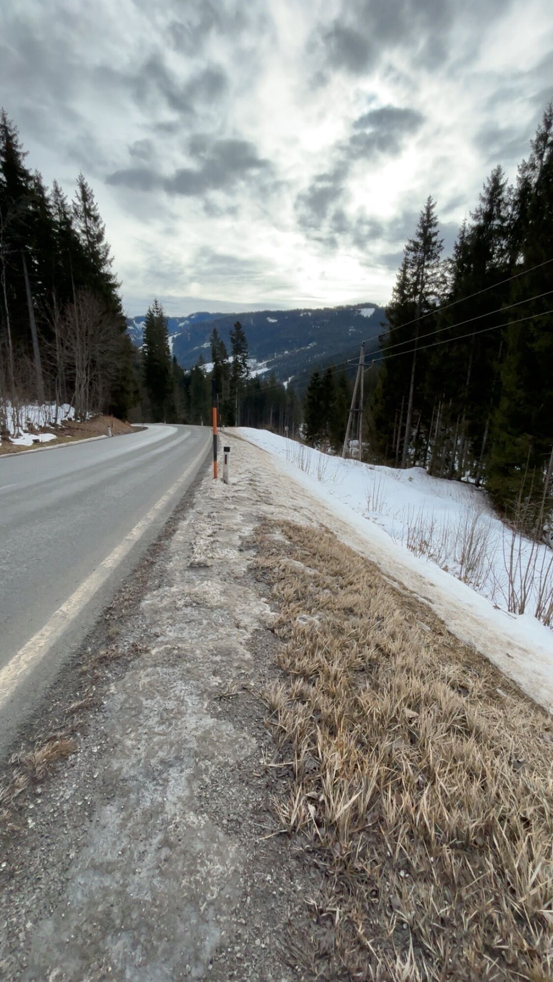
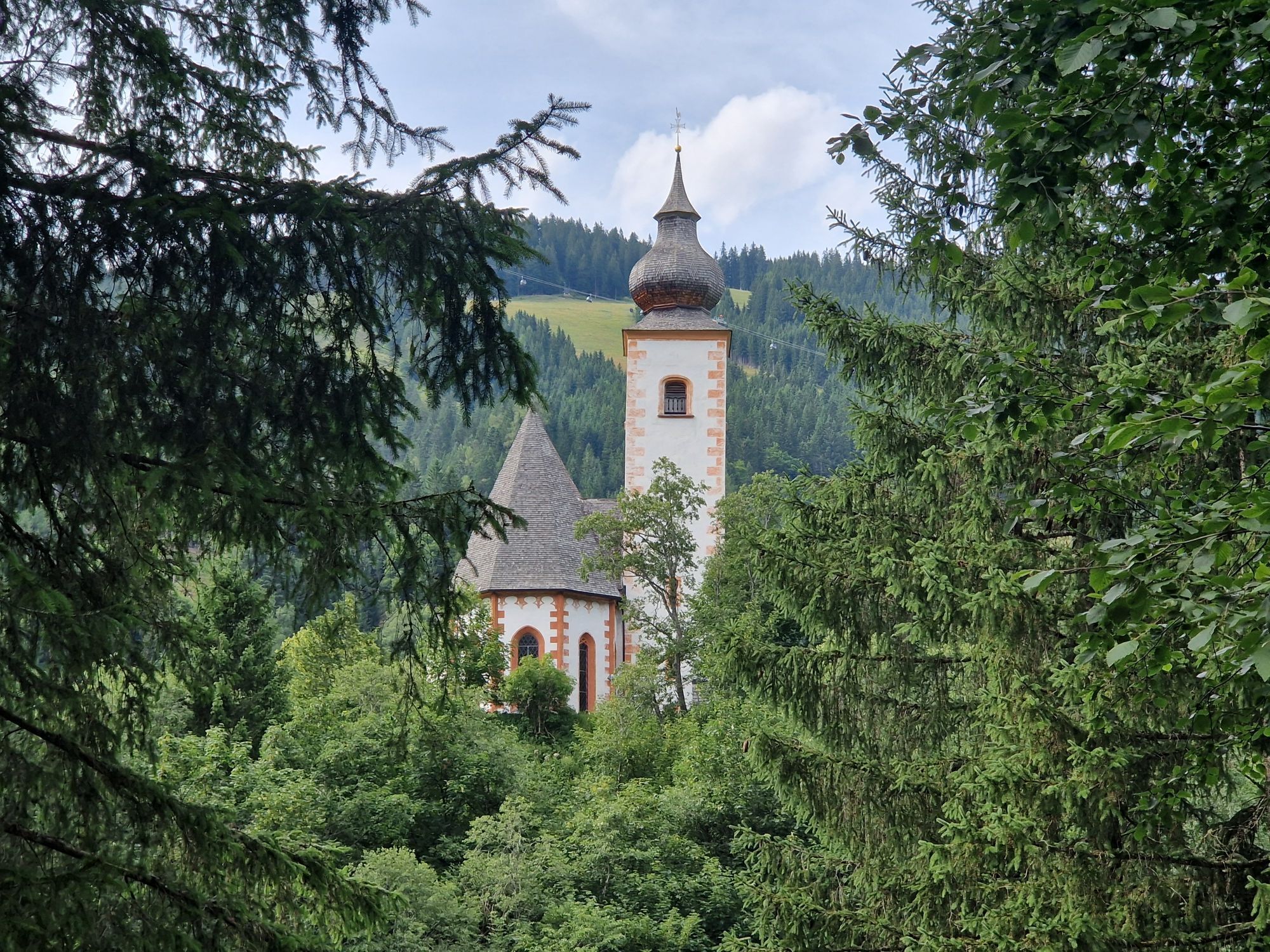
Start Flachau Tourist Information - on Dorfstraße Flachau towards the roundabout at the entrance to Flachau - go straight through the roundabout (second exit) towards Reitdorf – after the Reitdorf municipal office, turn right towards Altenmarkt - after the motorway underpass (km 5) turn left (direction Atomic company) - at Hotel Kesselgrub turn left over the railway crossing towards Eben - through the village Eben over Niedernfritz and Hüttau (Fritz valley) to Bischofshofen - after passing through Bischofshofen, at the second roundabout turn right towards Mühlbach at Hochkönig - long, partly very steep climb past the village Hochkönig and the Dienten Pass towards Dienten - shortly before the village Dienten turn left towards Lend - at the village Lend turn left towards Schwarzach - continue via Schwarzach to St. Johann im Pongau - in St. Johann im Pongau turn right towards Wagrain - steady climb to Wagrain - in the town center of Wagrain (directly at the church) turn left towards Flachau – over the last climb back to Flachau.
The basic equipment includes:
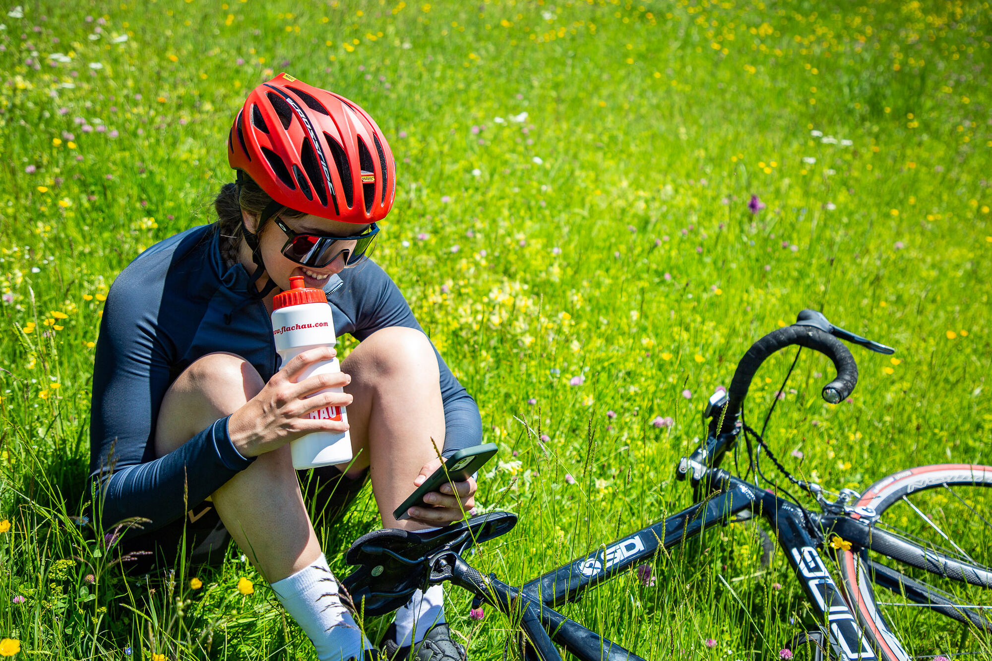
Protective gear Snacks for in between Sunglasses, if necessary sunscreen or rain protection Mobile phoneFlachau center / Flachau Tourist Information
Parking is available in the immediate vicinity of the starting point.
Webové kamery z prehliadky
-
Mühlbach am Hochkönig
-
Maria Alm - Hochmaisbahn
-
Bergstation achterjet
-
Gernkogel - Alpendorf St. Johann
-
Bischling
-
Radstadt - Simonyhof
-
Altenmarkt - Sinnhubbauer
-
Altenmarkt - Schartner
-
St. Johann-Alpendorf
-
Kemahdhöhe
-
Pfarrwerfen Feratel
-
Talstation 8 EUB
-
Reitlehenalm
-
Kemahdhöhe
-
Kemahdhöhe
-
Kemahdhöhe
-
Kemahdhöhe
-
Mühlbach am Hochkönig - Hotel Bergheimat
-
Bischofshofen-Kreuzberg
-
Pfarrwerfen
-
Pfarrwerfen Feratel
-
Pfarrwerfen Feratel
-
Pfarrwerfen Feratel
-
Pfarrwerfen Feratel
-
Pfarrwerfen Feratel
-
Pfarrwerfen Feratel
-
Pfarrwerfen Feratel
-
Bischling
-
Bischling
-
Bischling
-
Bischling
-
Bischling
-
Bischling
-
Bischling
-
Talstation 8 EUB
-
Talstation 8 EUB
-
Talstation 8 EUB
-
Talstation 8 EUB
-
Talstation 8 EUB
-
Talstation 8 EUB
Obľúbené výlety v okolí
-
4,9
Großarl: Aualm - Liechtensteinkopf - Aukopf - Schuhflicker - Schuhflickersee
strednáTuristika 5,84 km -
4,8
Summit storming route Taghaube
ťažkéTuristika 6,25 km -
4,7
Großarl: Mooslehenalm – Niggeltalalm – Viehhausalm
strednáTuristika 5,44 km -
4,7
About the "Four Huts circular route" to Windraucheggalm
strednáTuristika 10,1 km -
4,7
Panorama hike to the Hochkeil
strednáTuristika 6,07 km -
3,6
Wanderung zur Ostpreußenhütte in Werfen (1.630 m)
strednáTuristika 11,2 km -
4,9
Werfenweng Mountainbikerunde Söldenhütte
strednáMountainbike 18,8 km -
4,8
Hochkönig - Gipfel der Gefühle - Matrashaus
ťažkéTuristika 20,9 km -
4,6
Großarl: Saukaralm - Saukarkopf - Gerstreitalm
strednáTuristika 9,39 km -
4,6
Königsjodler Klettersteig (C/D) Hochkönig
ťažkéVia ferrata 25,8 km
Turistika a stopovanie


Nenechajte si ujsť ponuky a inšpiráciu na ďalšiu dovolenku
Vaša e-mailová adresa bol pridaný do poštového zoznamu.