


Russbach: Ski tour to the Gamsfeld
Fotografie našich používateľov
-

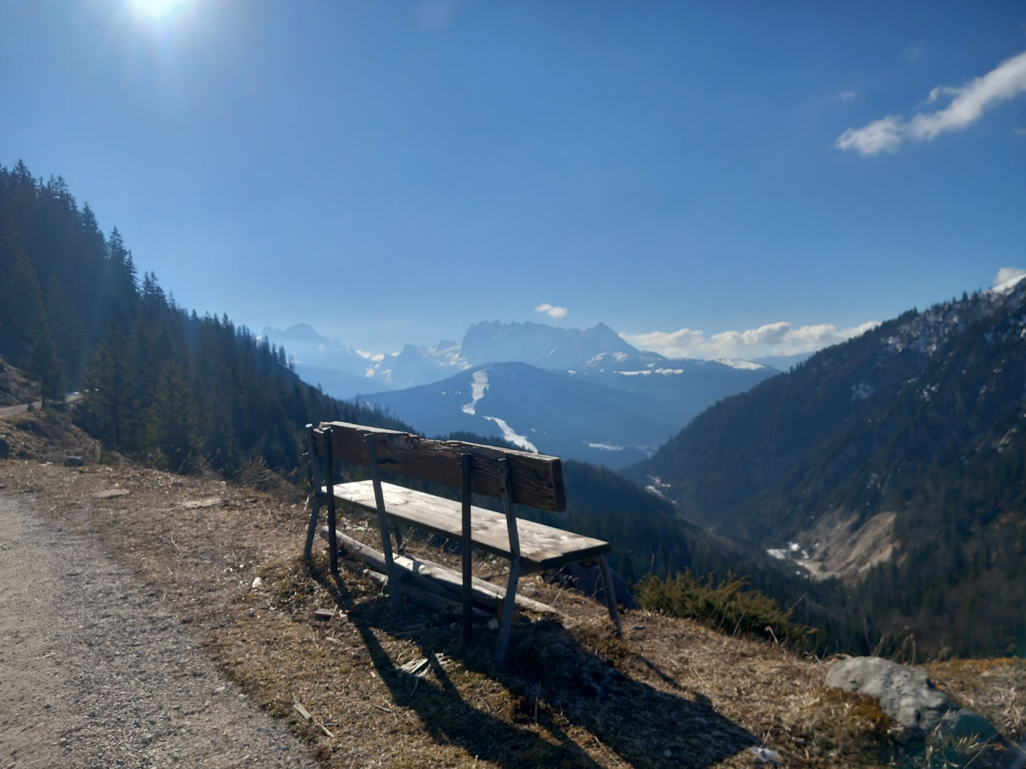
 © Márk János KóródiVytvorené dňa 02.03.2025
 -
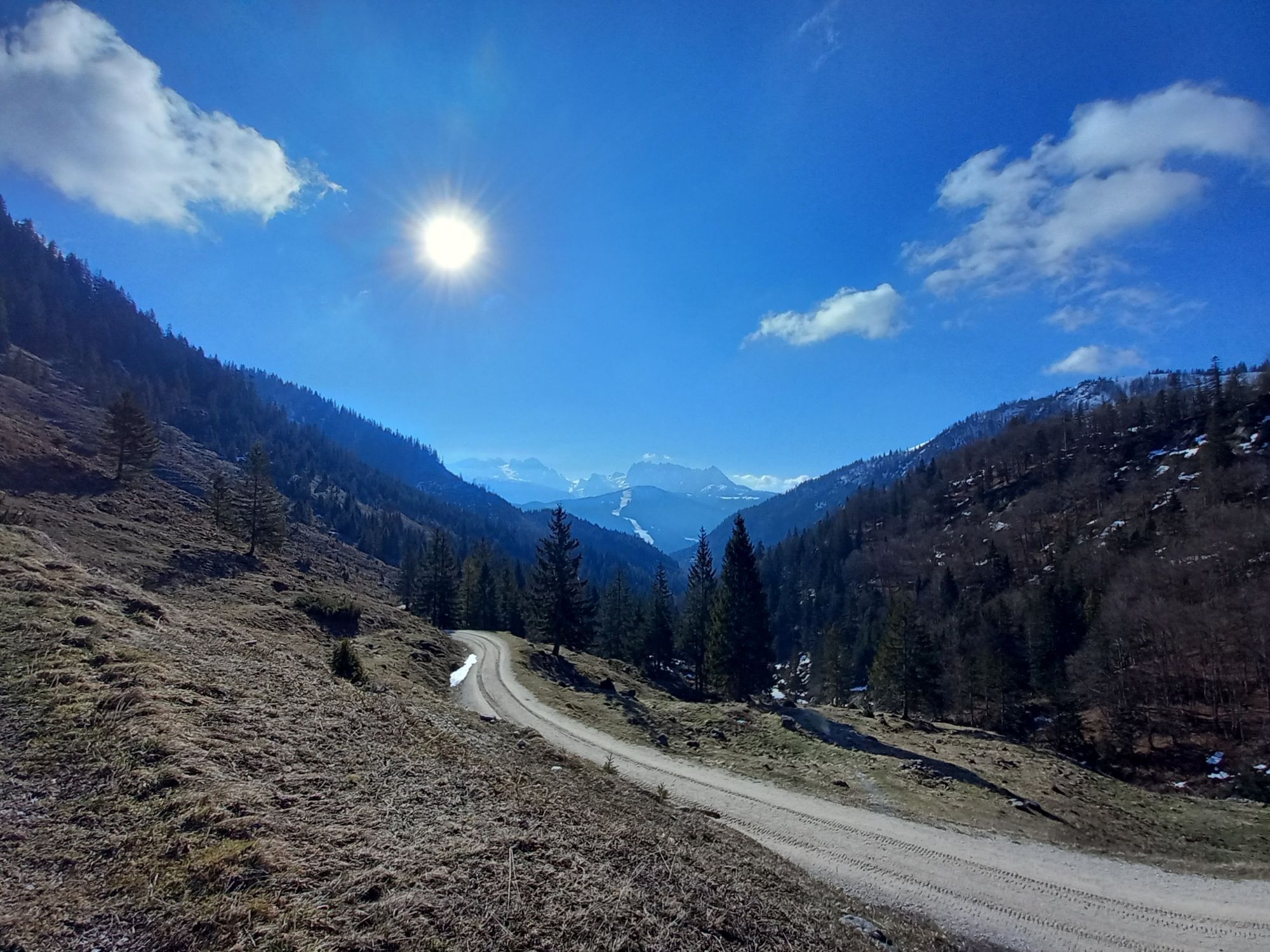
 © Márk János KóródiVytvorené dňa 02.03.2025
 -
 © Márk János KóródiVytvorené dňa 02.03.2025
 -
 © Márk János KóródiVytvorené dňa 02.03.2025
 -
 © Márk János KóródiVytvorené dňa 02.03.2025
 -
 © Márk János KóródiVytvorené dňa 02.03.2025
 -
 © Márk János KóródiVytvorené dňa 02.03.2025
 -

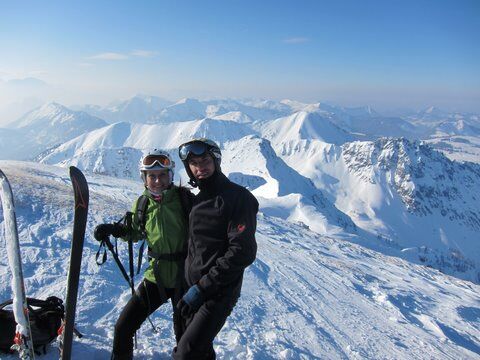
 © Josef VorderleitnerVytvorené dňa 28.12.2024
 -

 © Belinda HaiderVytvorené dňa 10.03.2026
 -
 © Lehel AntalVytvorené dňa 02.03.2025
 -
 © Lehel AntalVytvorené dňa 02.03.2025
 -
 © Lehel AntalVytvorené dňa 02.03.2025
 -
 © Lehel AntalVytvorené dňa 02.03.2025
 -
 © Lehel AntalVytvorené dňa 02.03.2025
 -
 © Lehel AntalVytvorené dňa 02.03.2025
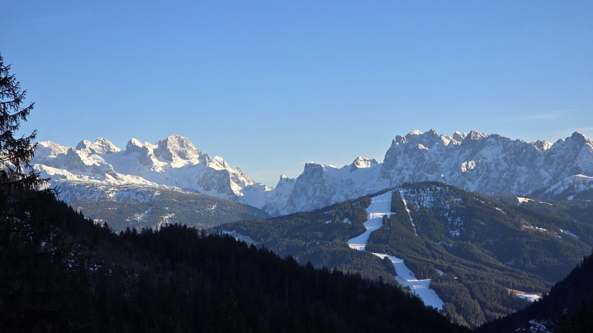


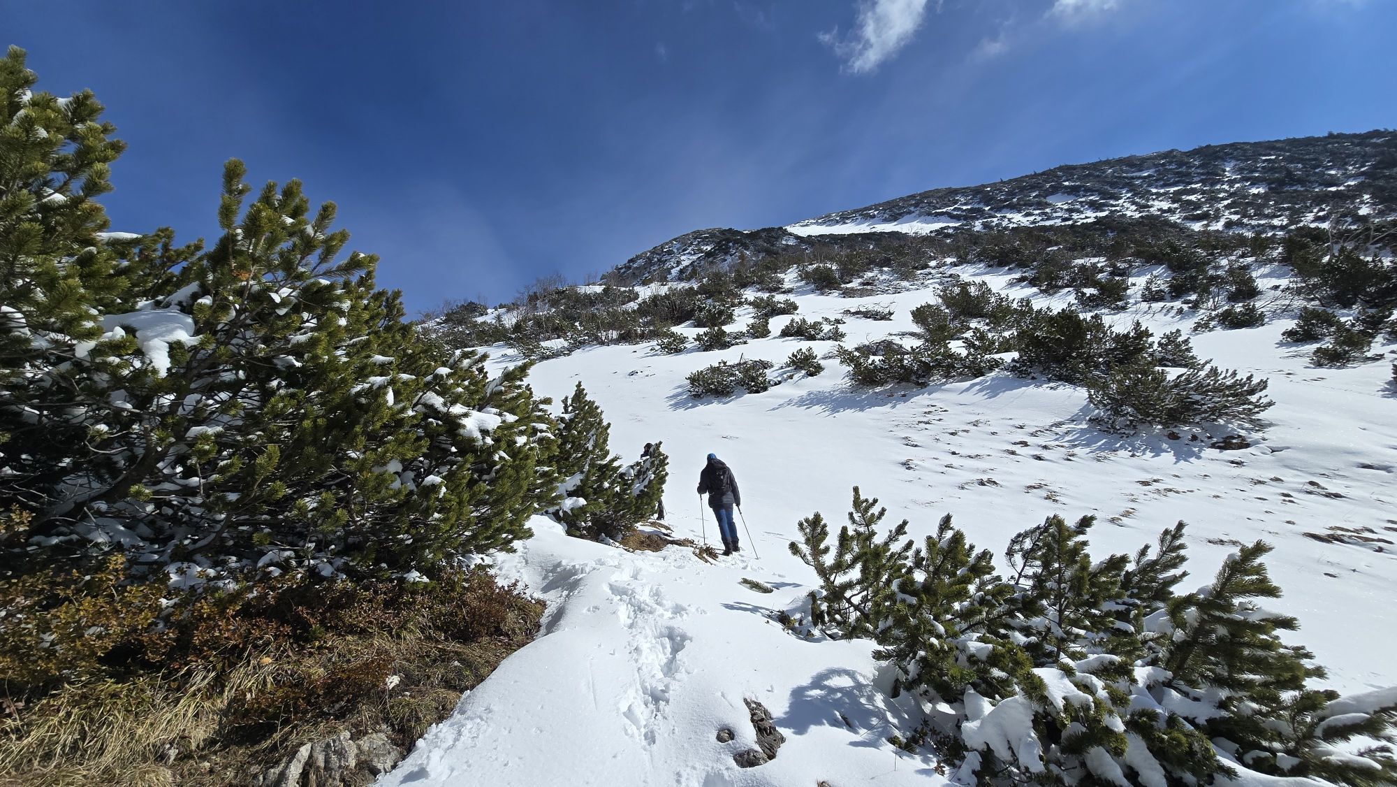

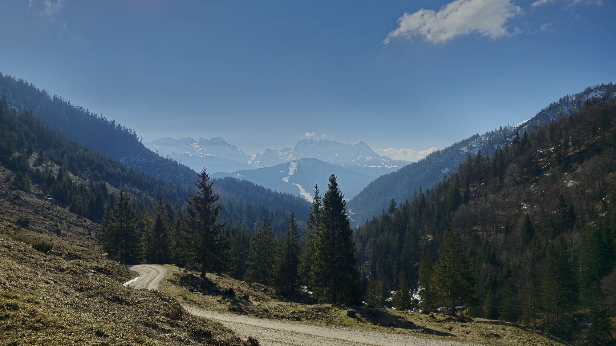
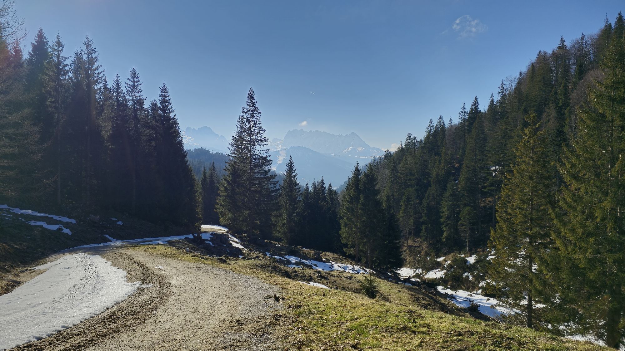


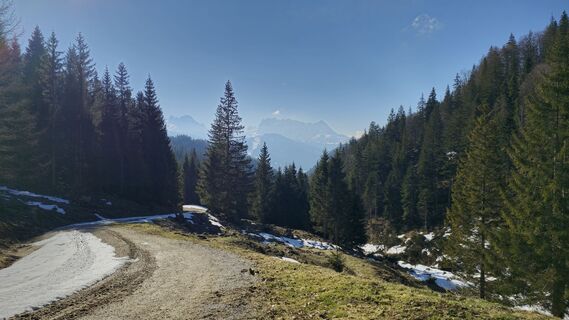
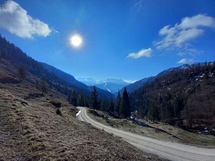
Ascent: On a forest road to the right of the Rinnbach comfortably in 3/4 hour via two double loops to a road fork, about 100m behind a game feeding place (approx. 1120 m). Straight ahead the road continues...
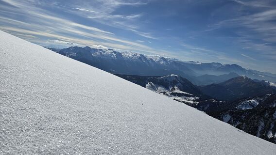
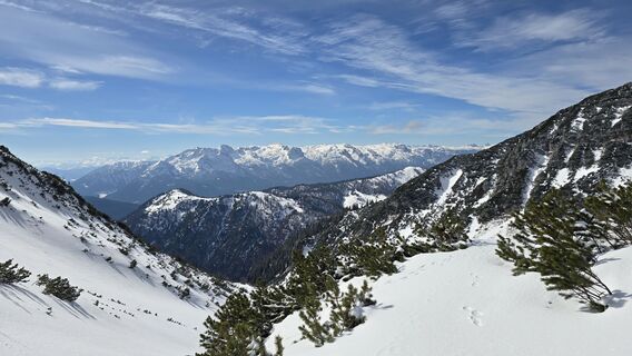
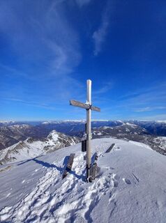
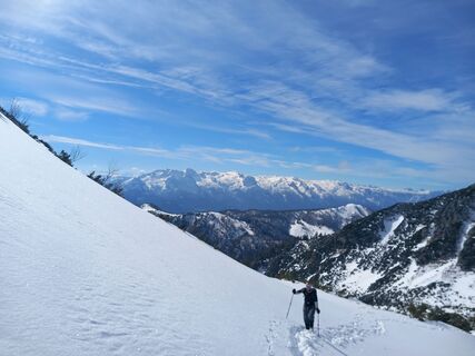
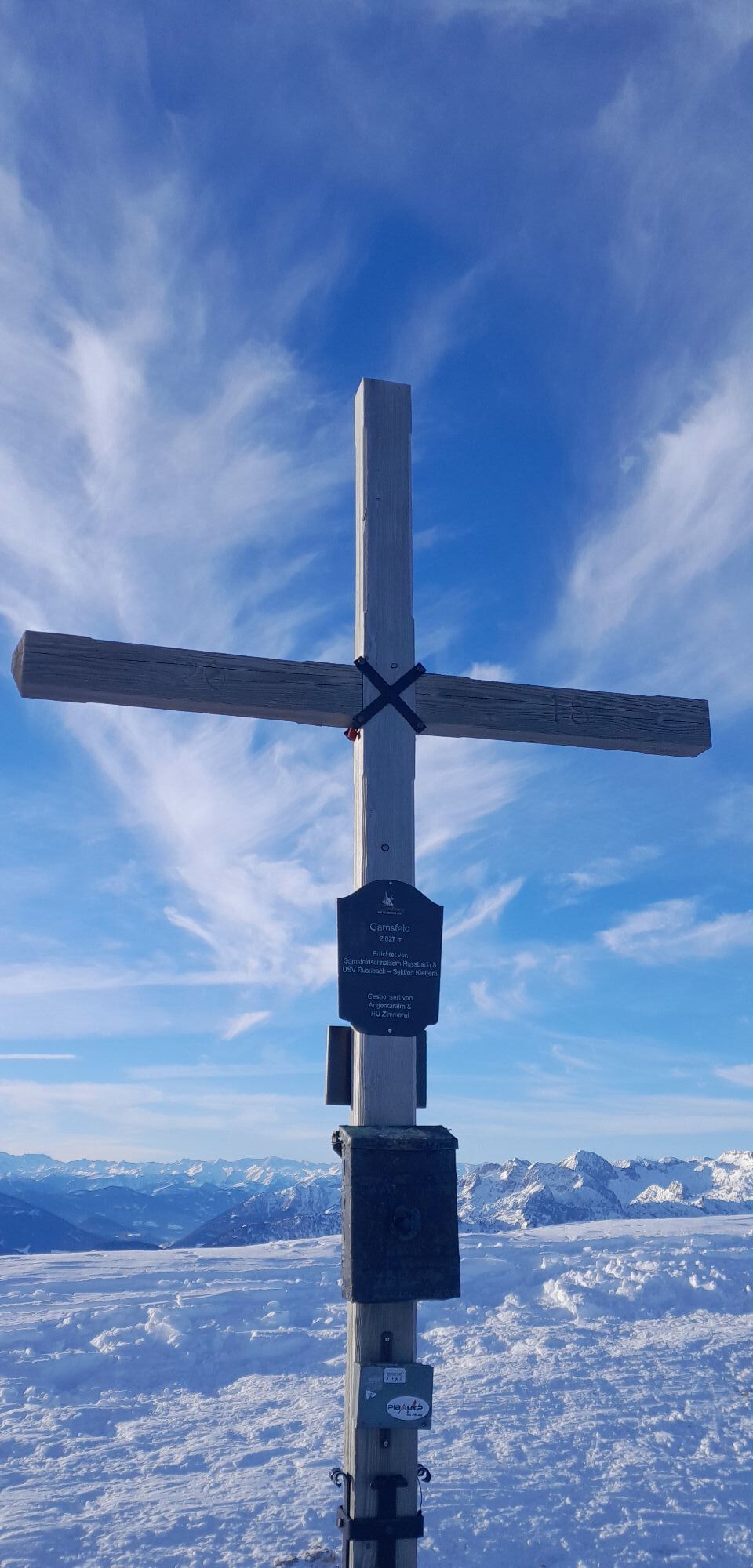
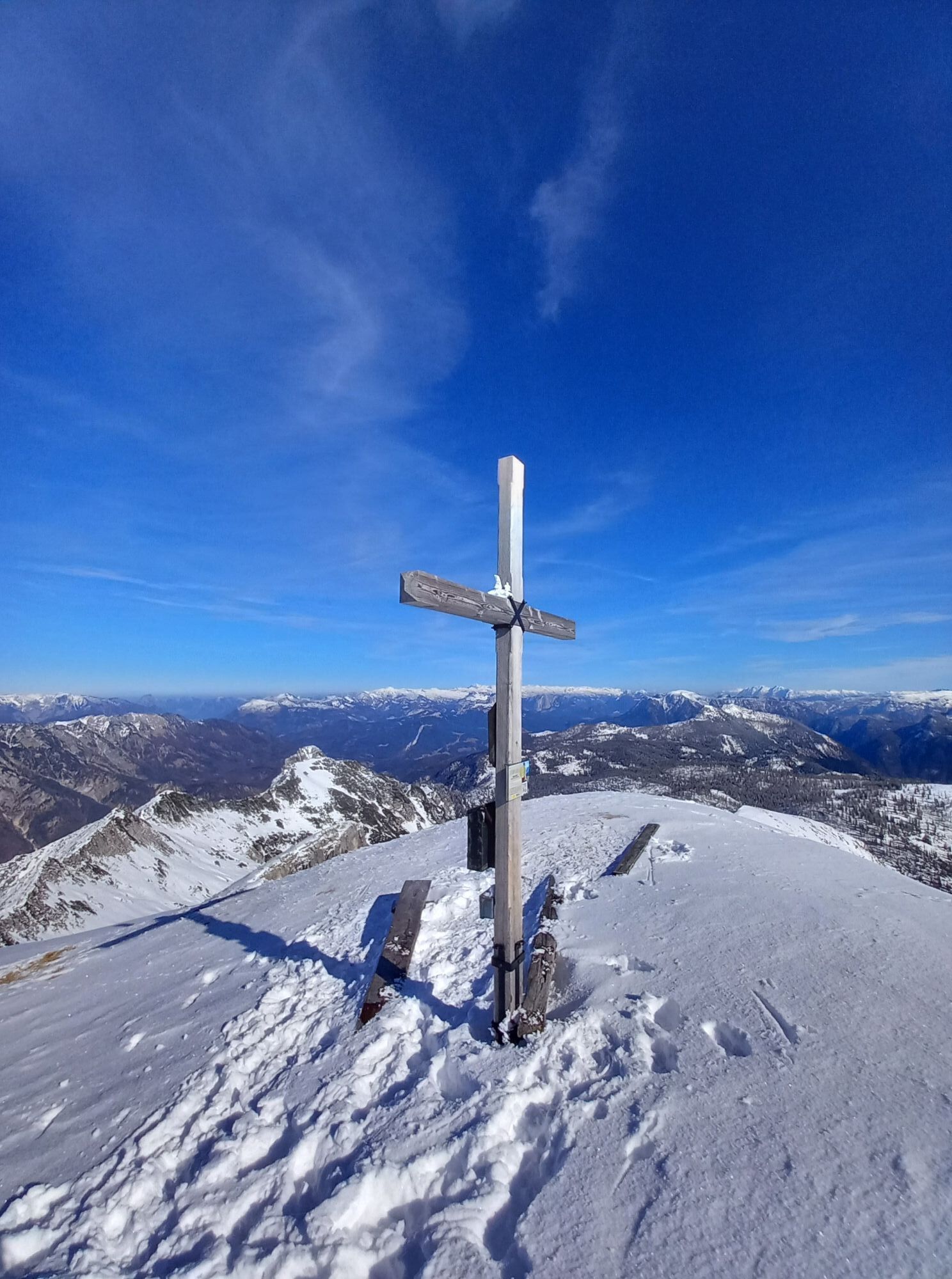
Ascent: On a forest road to the right of the Rinnbach comfortably in 3/4 hour via two double loops to a road fork, about 100m behind a game feeding place (approx. 1120 m). Straight ahead the road continues to the already visible Rinnbergalm. To the Gamsfeld sharply right on the road and moderately rising into a ravine. In its area through light young forest to the tree line, where the ravine widens into a trough valley. On its left side, you reach via a small steep step the Angerkaralm (1423 m). Now another 200 meters of elevation further to a valley junction. Straight ahead the route leads to the Schmalztrager (1889 m), whose enticingly steep southeast flank should only be attempted under absolutely stable firn conditions. To the Gamsfeld turn right (NE) at the junction and soon gain a distinct ledge and via a slope ascending with increasing height a weakly pronounced saddle. Now on the ridge to the right to a hollow and over a broad slope with moderate incline to the southwest ridge of the Gamsfeld. Over this to the left to the summit (2027m).
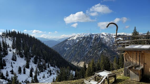
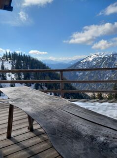
Descent: Normal route: same as ascent. The Angerkaralm hut invites you to stop by on weekends!

Áno
AV device, probe, shovel, (backpack), ski touring equipment
partial avalanche danger!
Postbus No. 470 from Gosau and Golling
Parking lot opposite village church
Webové kamery z prehliadky
-
Hornspitz Talstation
-
Snowpark Dachstein West
-
Edtalm
-
Bergstation Hornbahn - Hornspitz
-
Bergstation Hornbahn - Hornspitz
-
Bergstation Hornbahn - Hornspitz
-
Bergstation Hornbahn - Hornspitz
-
Bergstation Hornbahn - Hornspitz
-
Bergstation Hornbahn - Hornspitz
-
Postalm Zauberteppich
-
Postalm Zauberteppich
-
Postalm Zauberteppich
-
Postalm Zauberteppich
-
Postalm Zauberteppich
-
Postalm Zauberteppich
-
Postalm Zauberteppich
-
Postalm Zauberteppich
-
Hornspitz II Bergstation
-
Snowpark Dachstein West

Obľúbené výlety v okolí
-
4,7
Tour around the Gosaukamm
strednáTuristika 20,9 km -
4,7
Tour around the Lake Gosau
svetloTuristika 4,43 km -
4,5
Adamekhütte vom Vorderen Gosausee
strednáTuristika 23,2 km -
4,9
Schwarzeneckalm-Bleckwand
svetloTuristika 5,94 km -
4,8
Gennerhorn über Lämmerbach
strednáTuristika 10,2 km -
4,7
Mühlenweg und Winnerfall Scheffau am Tennengebirge
strednáTuristika 4,79 km -
4,7
Katrin
strednáTuristika 2,95 km -
4,7
Katrin
svetloTuristika 4,21 km -
4,7
/\ Sparber
ťažkéTuristika 6,82 km -
4,6
Donnerkogel vom Gosausee mit Intersport Klettersteig C/D und Himmelsleiter
ťažkéVia ferrata 7,70 km
Turistika a stopovanie


Nenechajte si ujsť ponuky a inšpiráciu na ďalšiu dovolenku
Vaša e-mailová adresa bol pridaný do poštového zoznamu.