


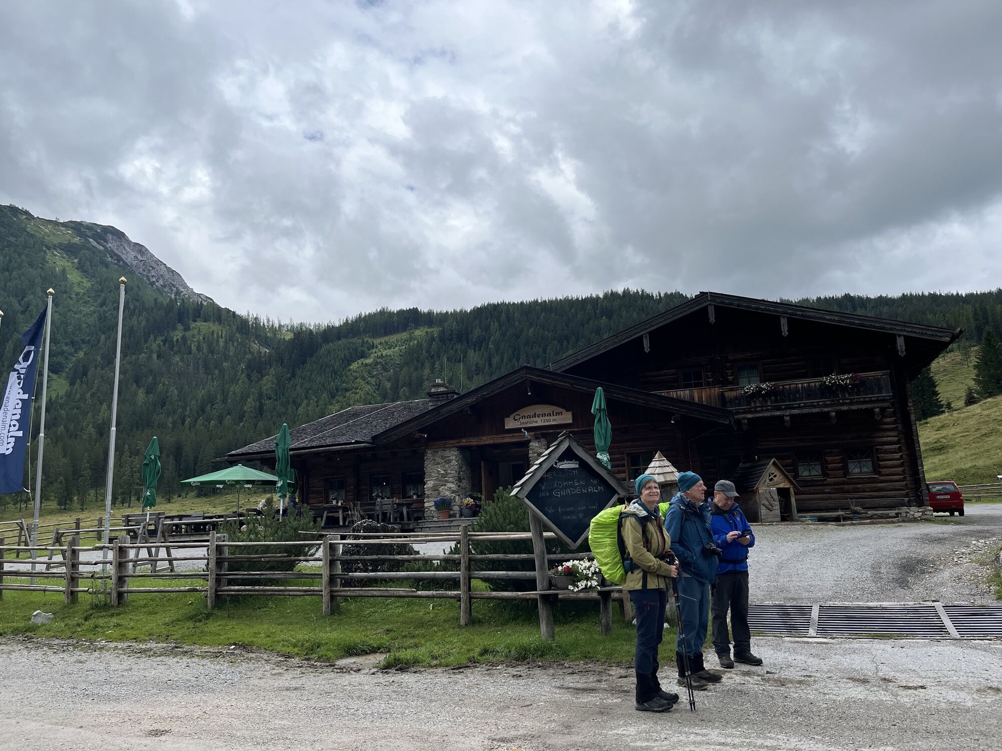
Gnadenalm - Südwienerhütte/Ennslehenhütte


Fotografie našich používateľov
-

 © Robert KremlickaVytvorené dňa 13.03.2025
 -
 © Robert KremlickaVytvorené dňa 13.03.2025
 -
 © Robert KremlickaVytvorené dňa 13.03.2025
 -
 © Robert KremlickaVytvorené dňa 13.03.2025
 -
 © Heinz SperlVytvorené dňa 28.02.2025
 -
 © Heinz SperlVytvorené dňa 28.02.2025
 -
 © Raimund SchulczVytvorené dňa 22.01.2025
 -
 © Raimund SchulczVytvorené dňa 22.01.2025
 -
 © Isabella Schwaiger-MoserVytvorené dňa 14.01.2025
 -
 © Heinz SperlVytvorené dňa 21.02.2024
 -
 © Heinz SperlVytvorené dňa 21.02.2024
 -
 © Heinz SperlVytvorené dňa 21.02.2024
 -
 © Heinz SperlVytvorené dňa 06.02.2024
 -

 © Oliver BeckVytvorené dňa 08.10.2025
 -

 © Bahn MichaVytvorené dňa 04.09.2025
 -
 © Peter RinnerVytvorené dňa 09.07.2025
 -
 © Peter RinnerVytvorené dňa 09.07.2025
 -
 © Peter RinnerVytvorené dňa 09.07.2025
 -
 © Peter RinnerVytvorené dňa 09.07.2025
 -
 © Peter RinnerVytvorené dňa 09.07.2025
 -
 © Peter RinnerVytvorené dňa 09.07.2025
 -
 © Peter RinnerVytvorené dňa 09.07.2025
 -
 © Florian Eder 2Vytvorené dňa 24.06.2025
 -
 © Florian Eder 2Vytvorené dňa 24.06.2025
 -
 © Florian Eder 2Vytvorené dňa 24.06.2025
 -

 © Václav StejskalVytvorené dňa 03.07.2023
 -
 © Václav StejskalVytvorené dňa 03.07.2023
 -
 © Václav StejskalVytvorené dňa 03.07.2023
 -
 © Václav StejskalVytvorené dňa 03.07.2023
 -
 © Václav StejskalVytvorené dňa 03.07.2023


.


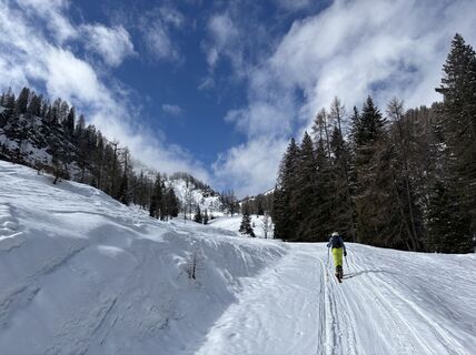
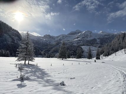
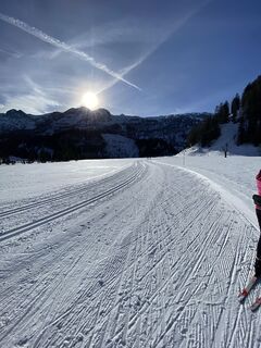
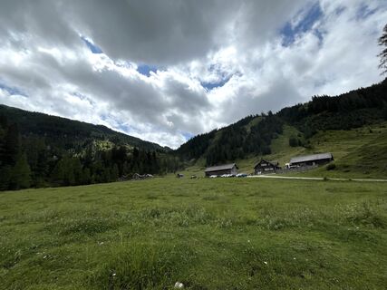
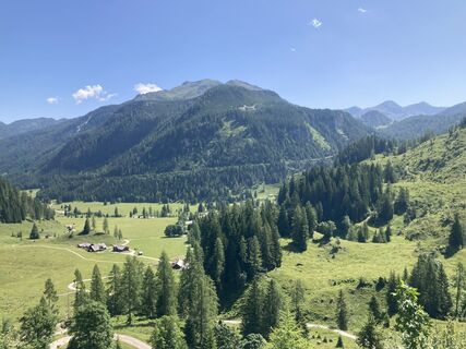
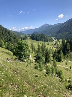
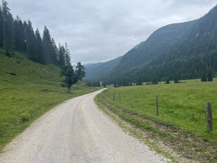
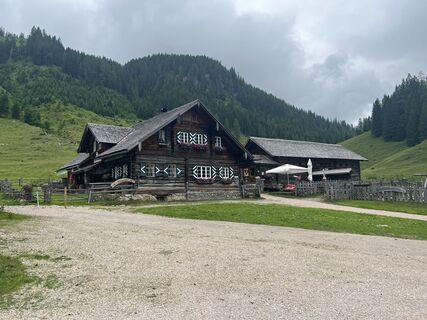
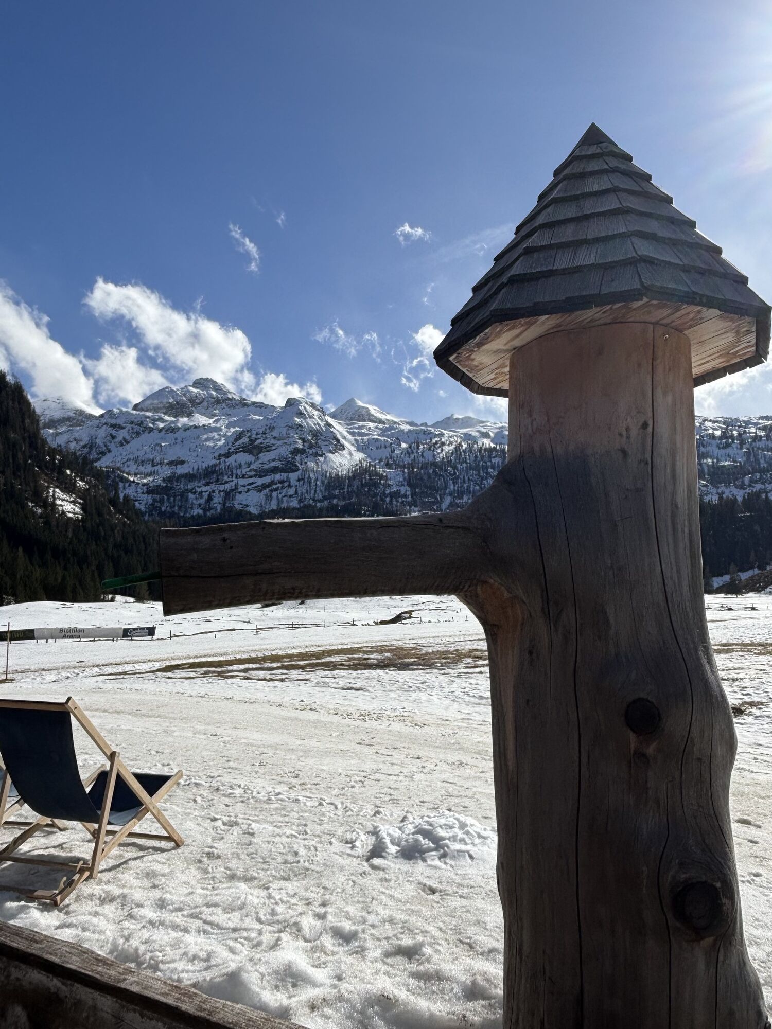
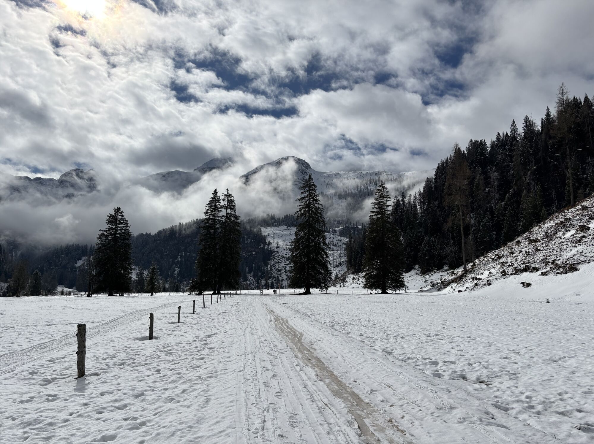
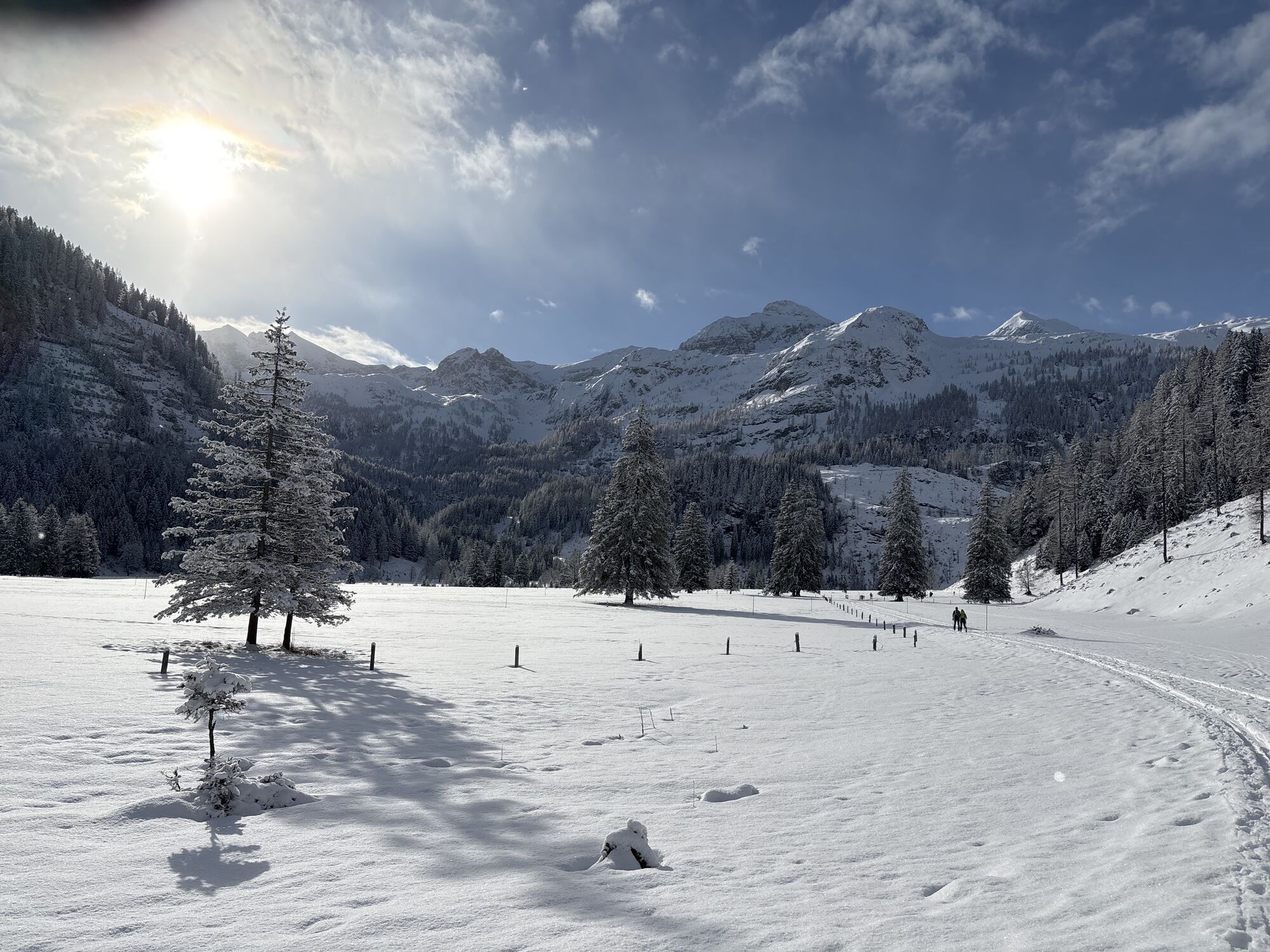
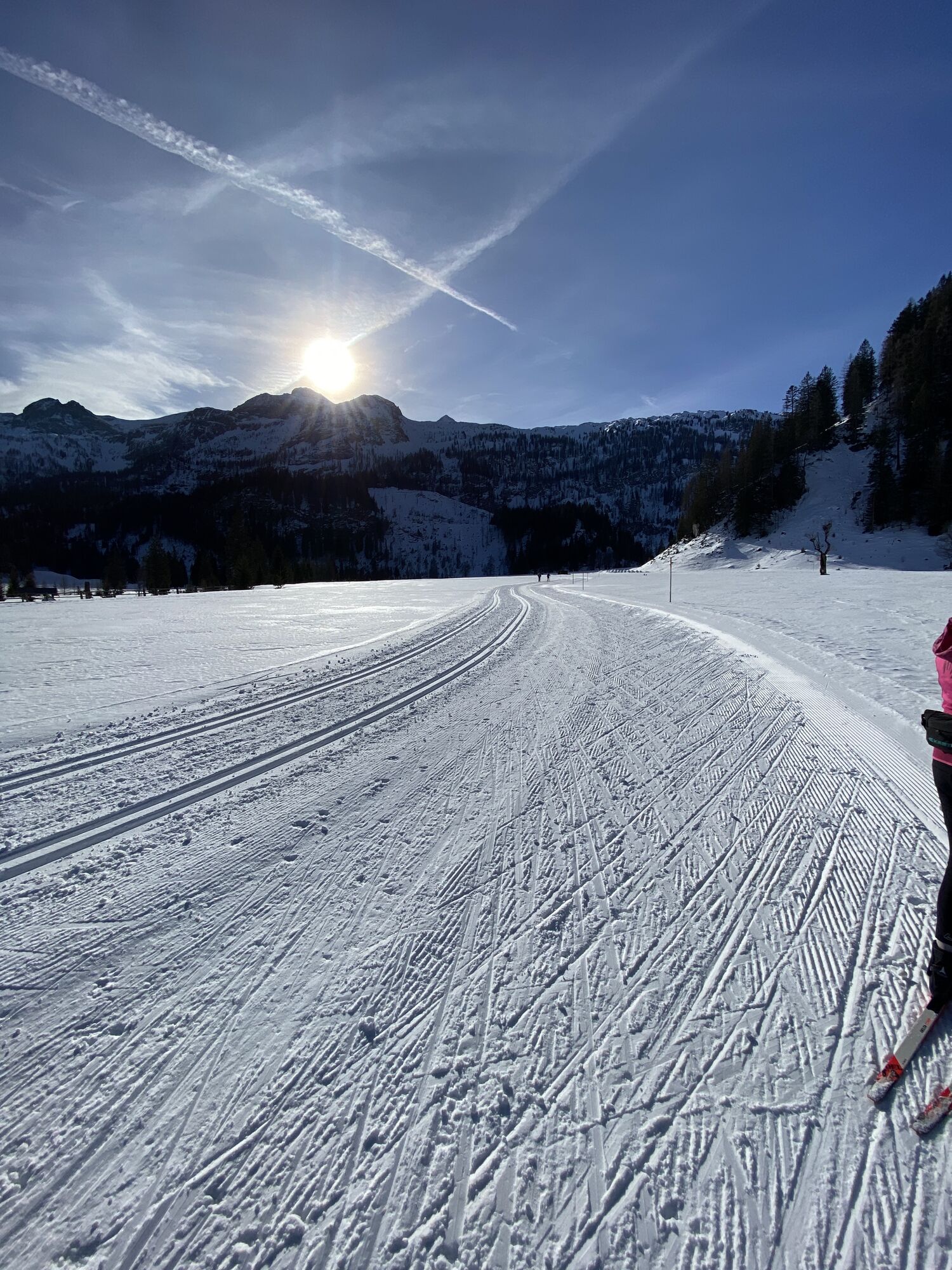
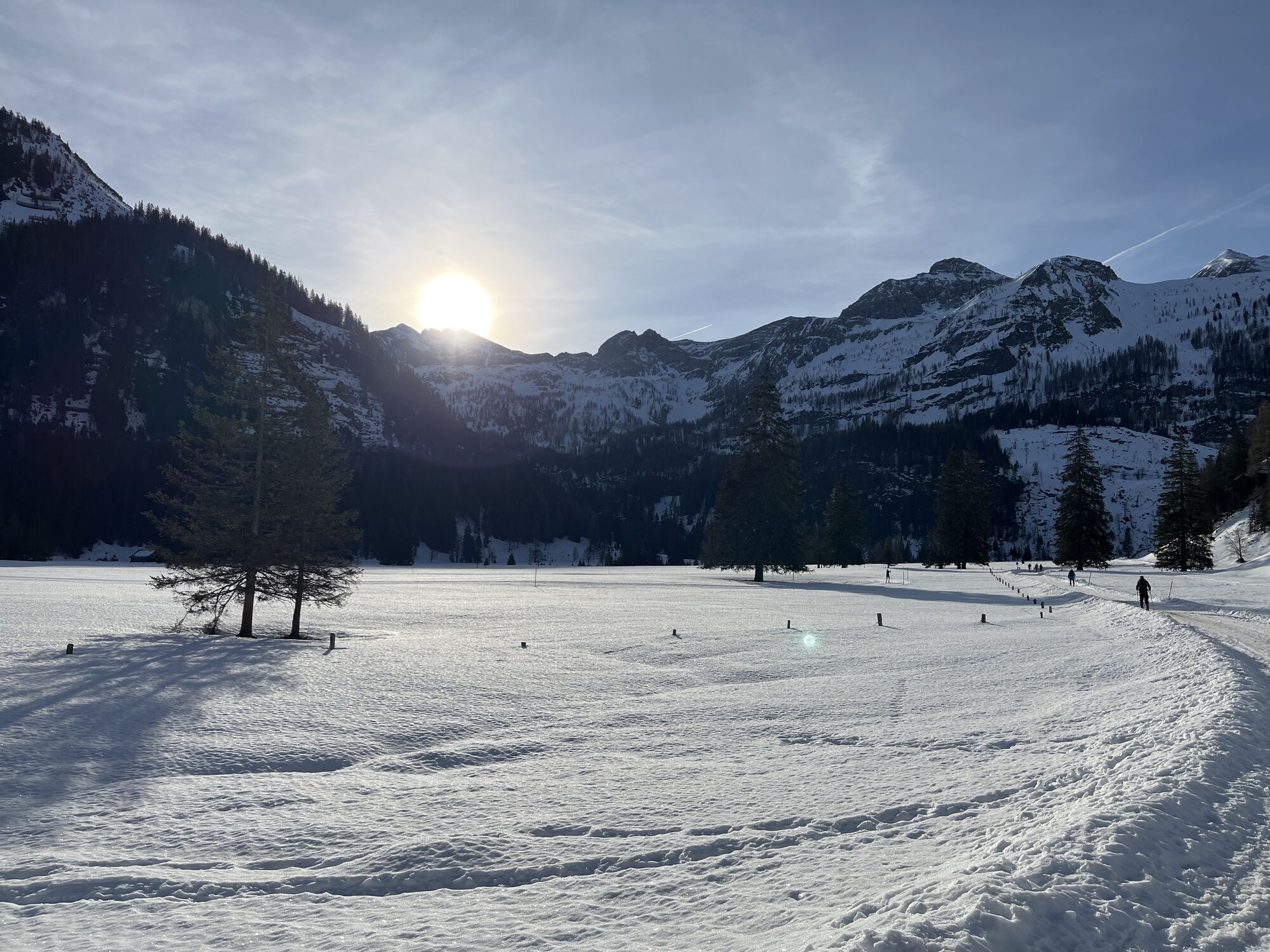
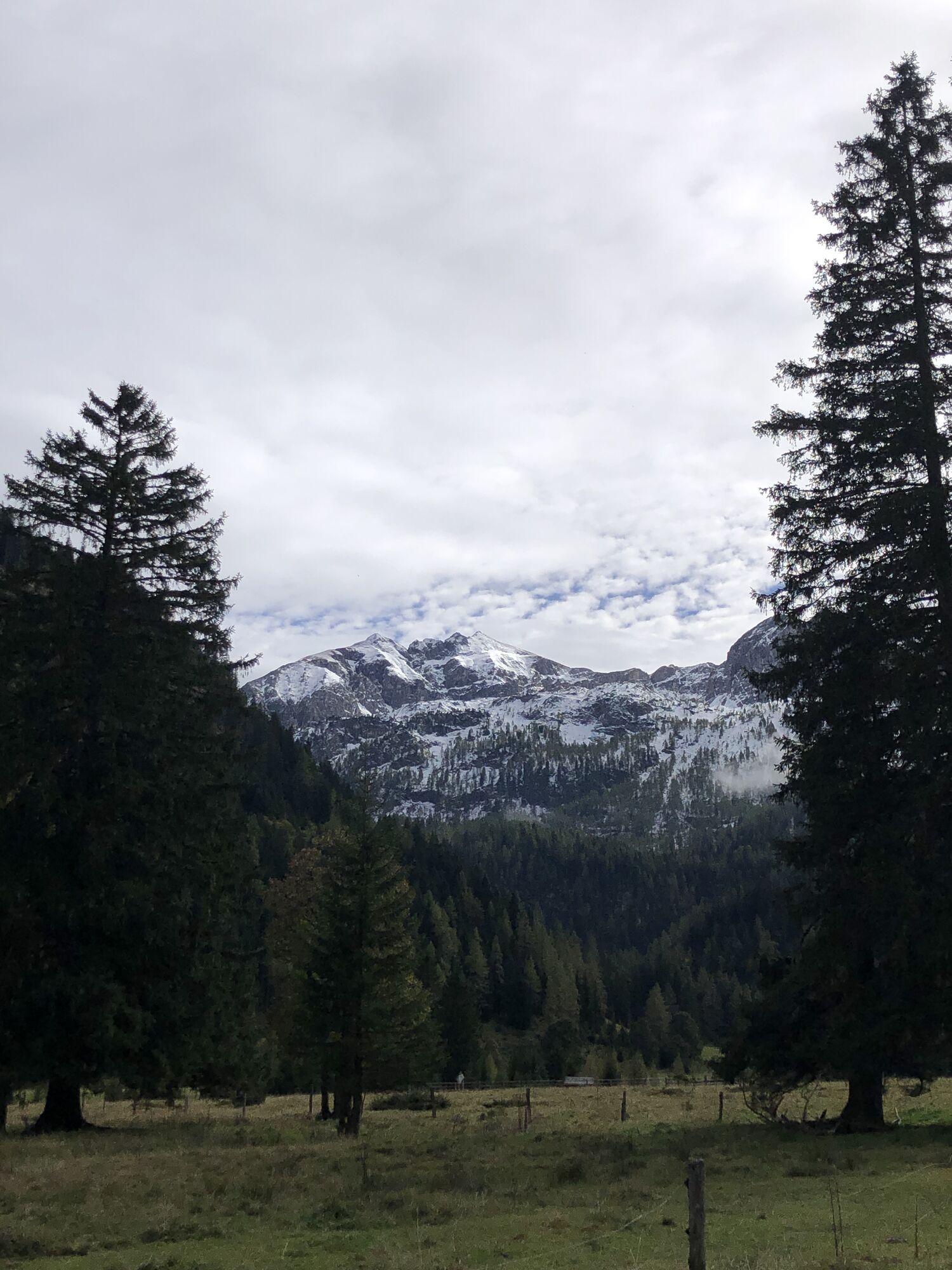
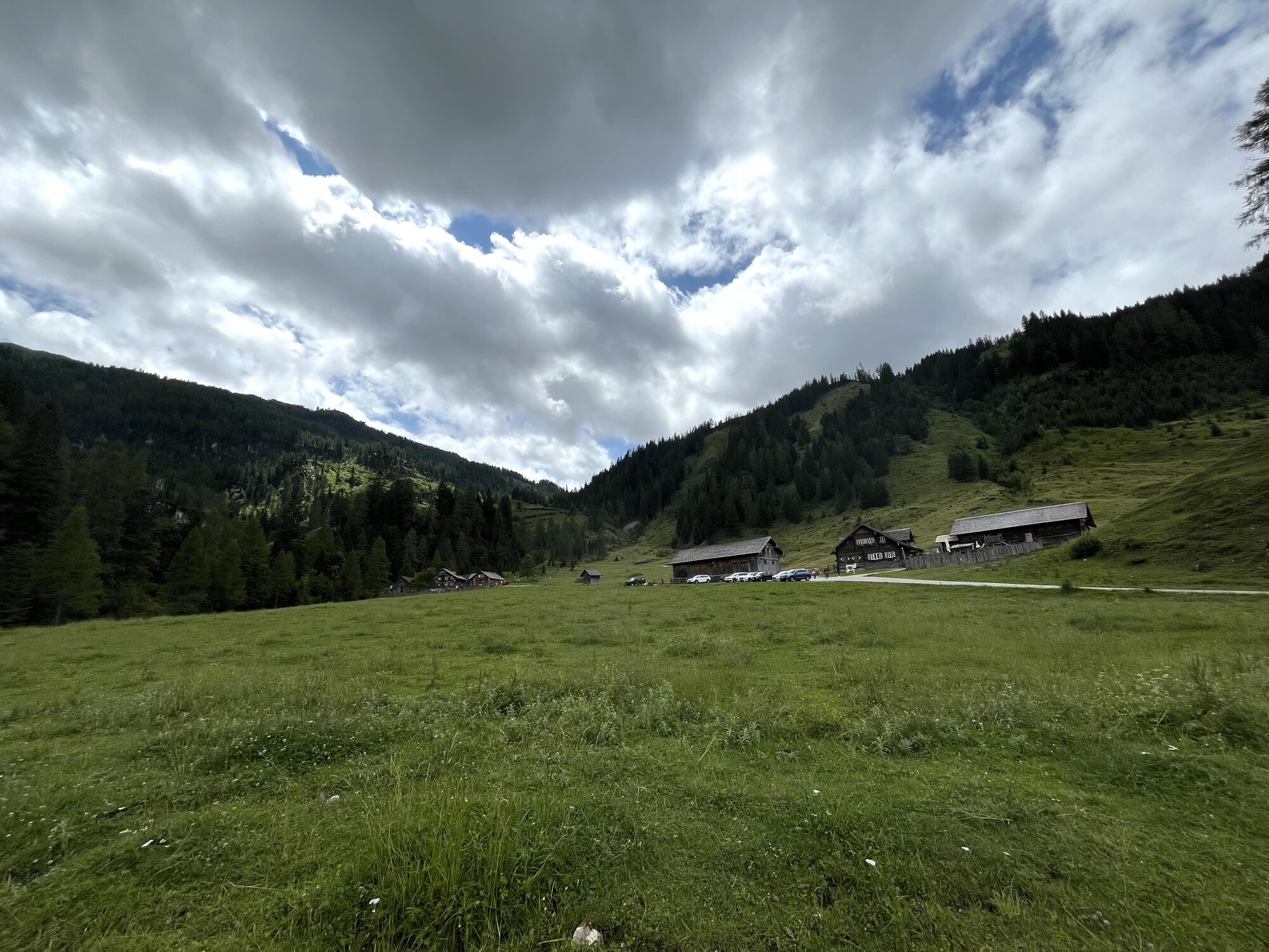
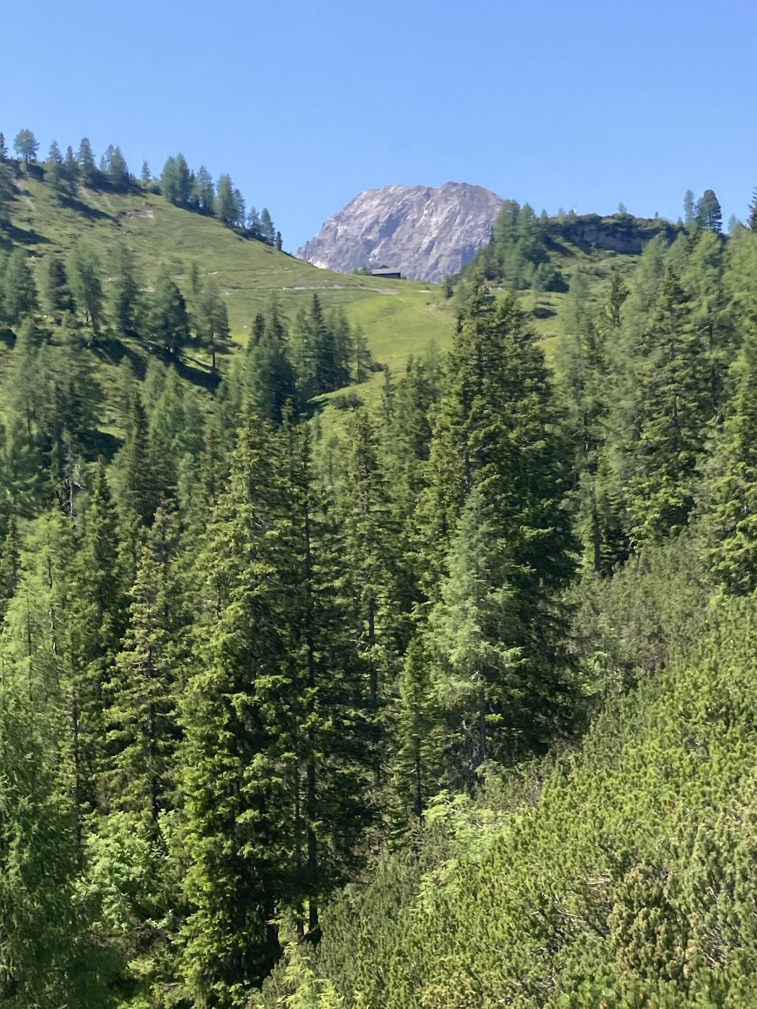
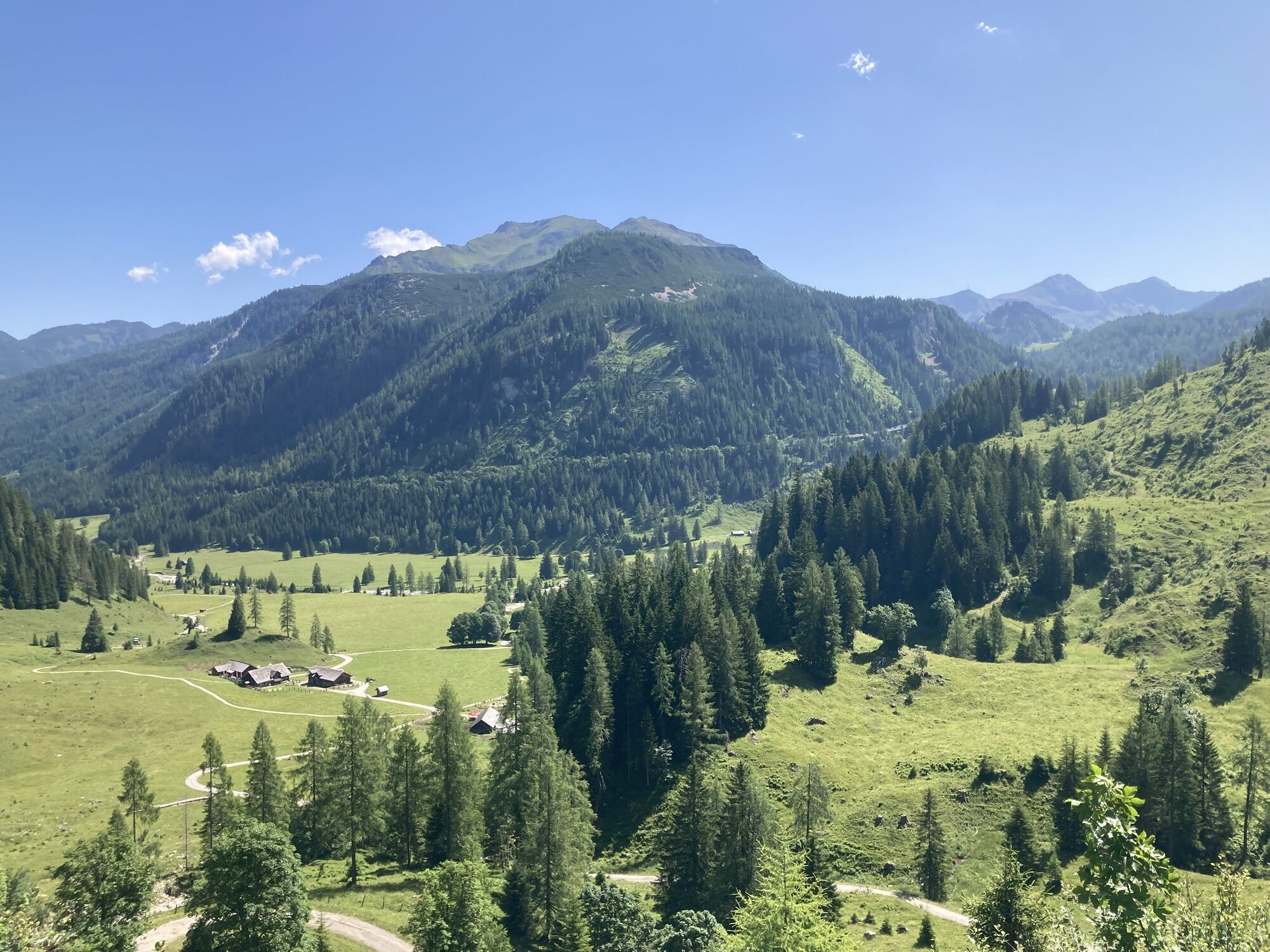
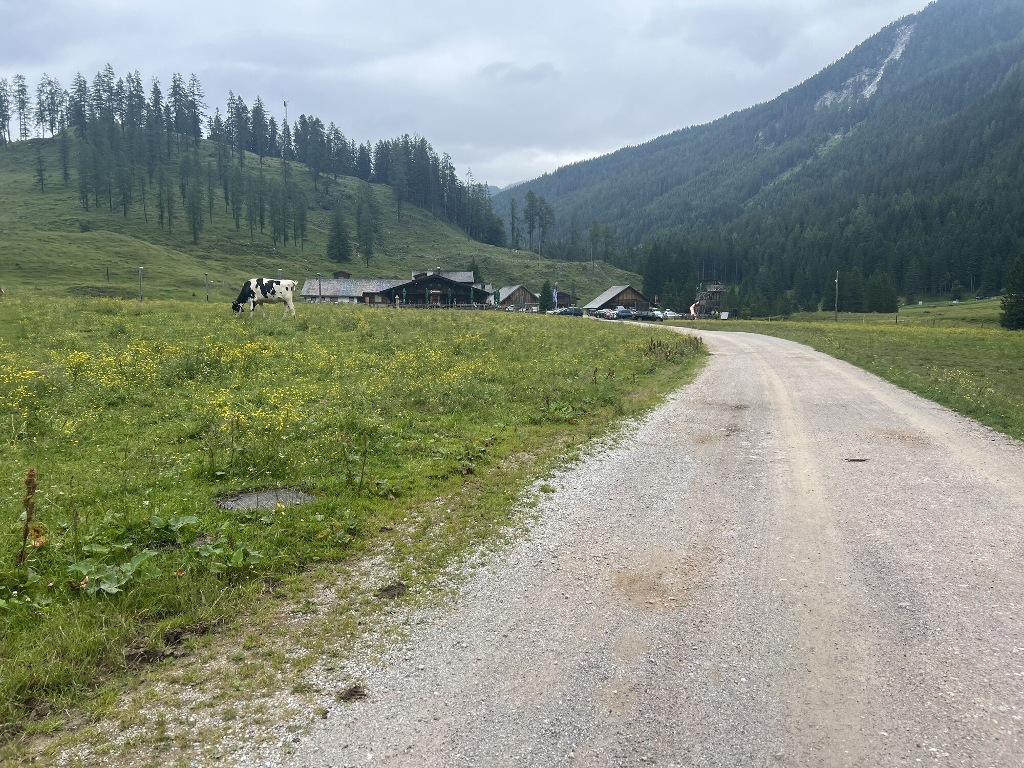
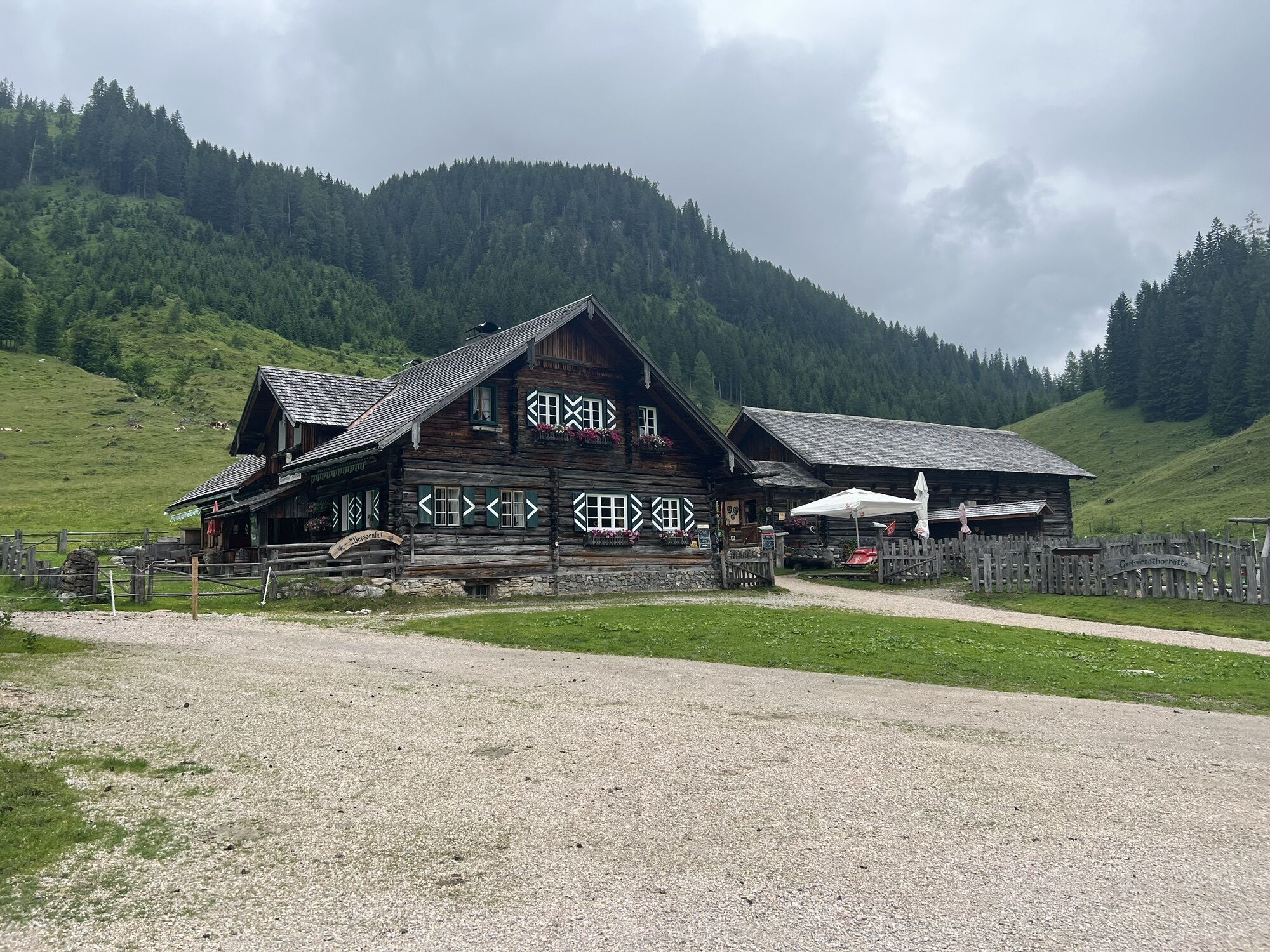
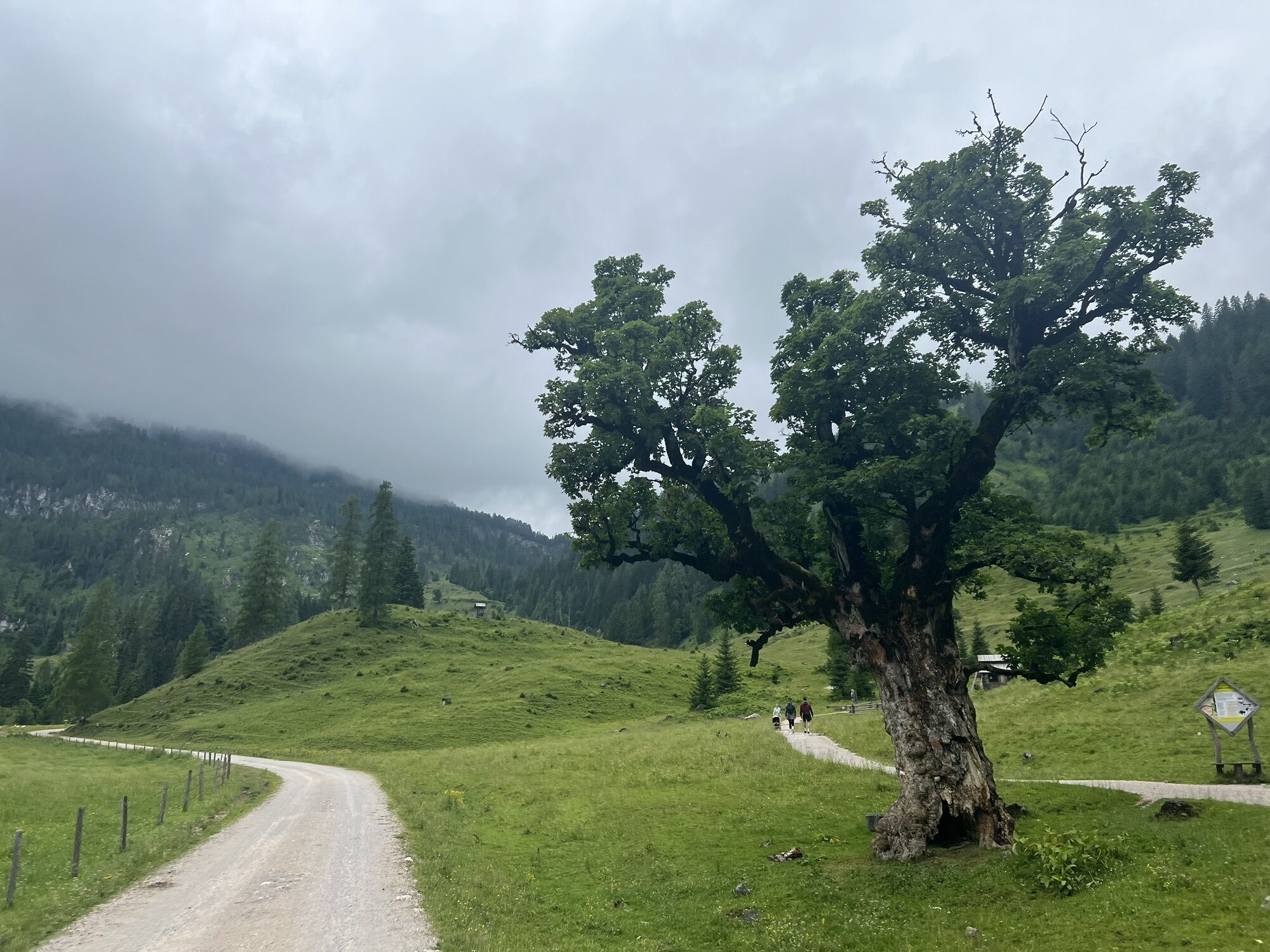
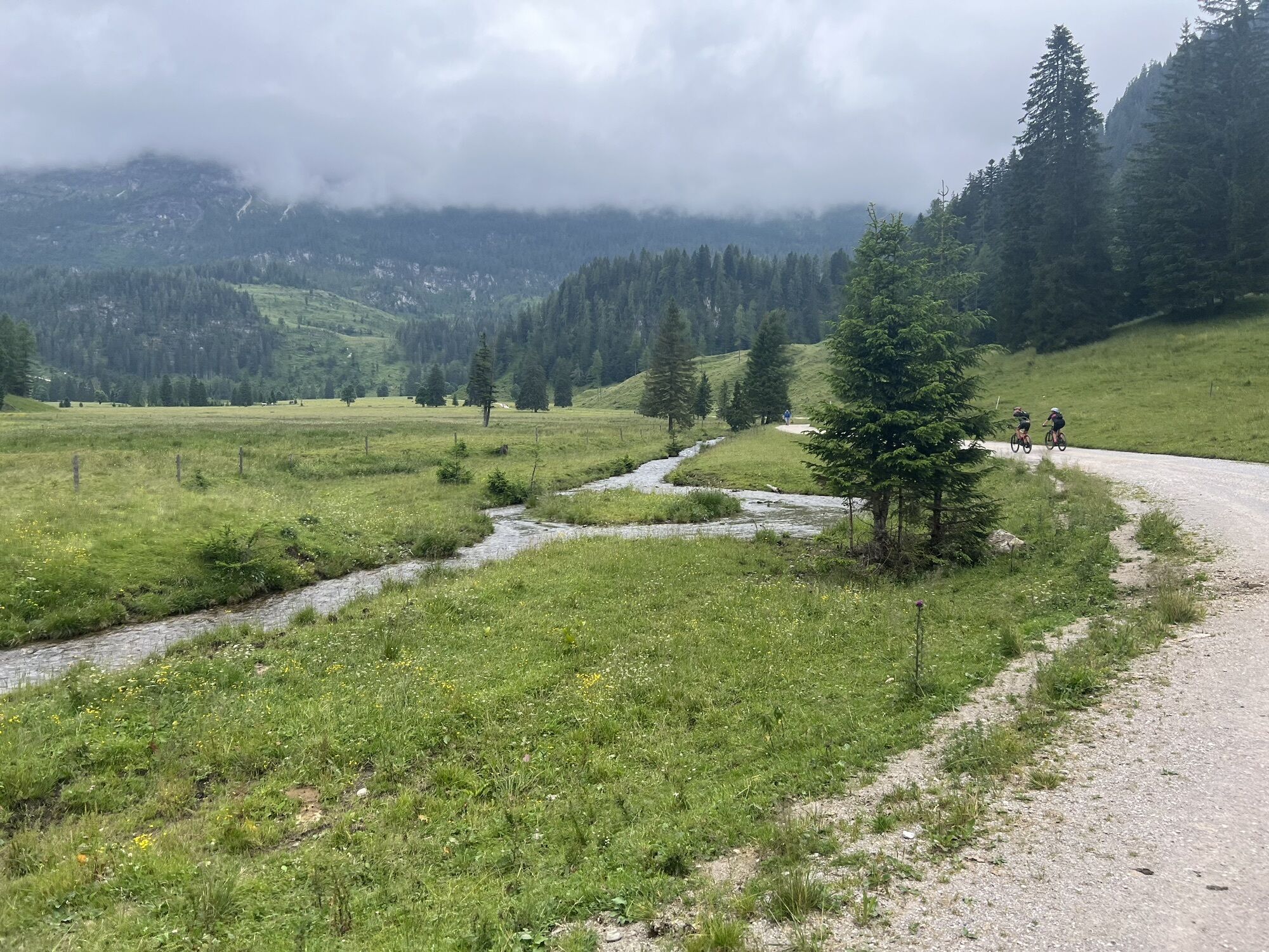
The approach begins at the Gnadenalm. Initially, you follow about two kilometers of the cross-country ski trail, which leads across the wide, open alpine pasture to the Hintergnadenalm at 1,336 m above sea level.
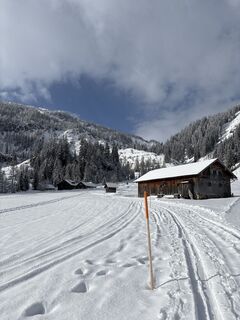
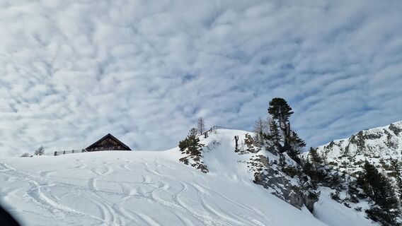
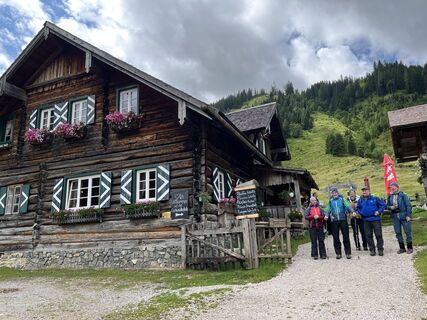
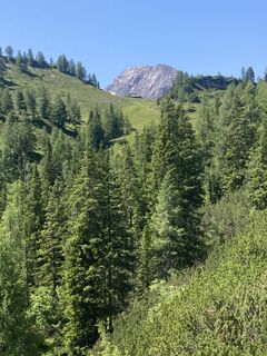
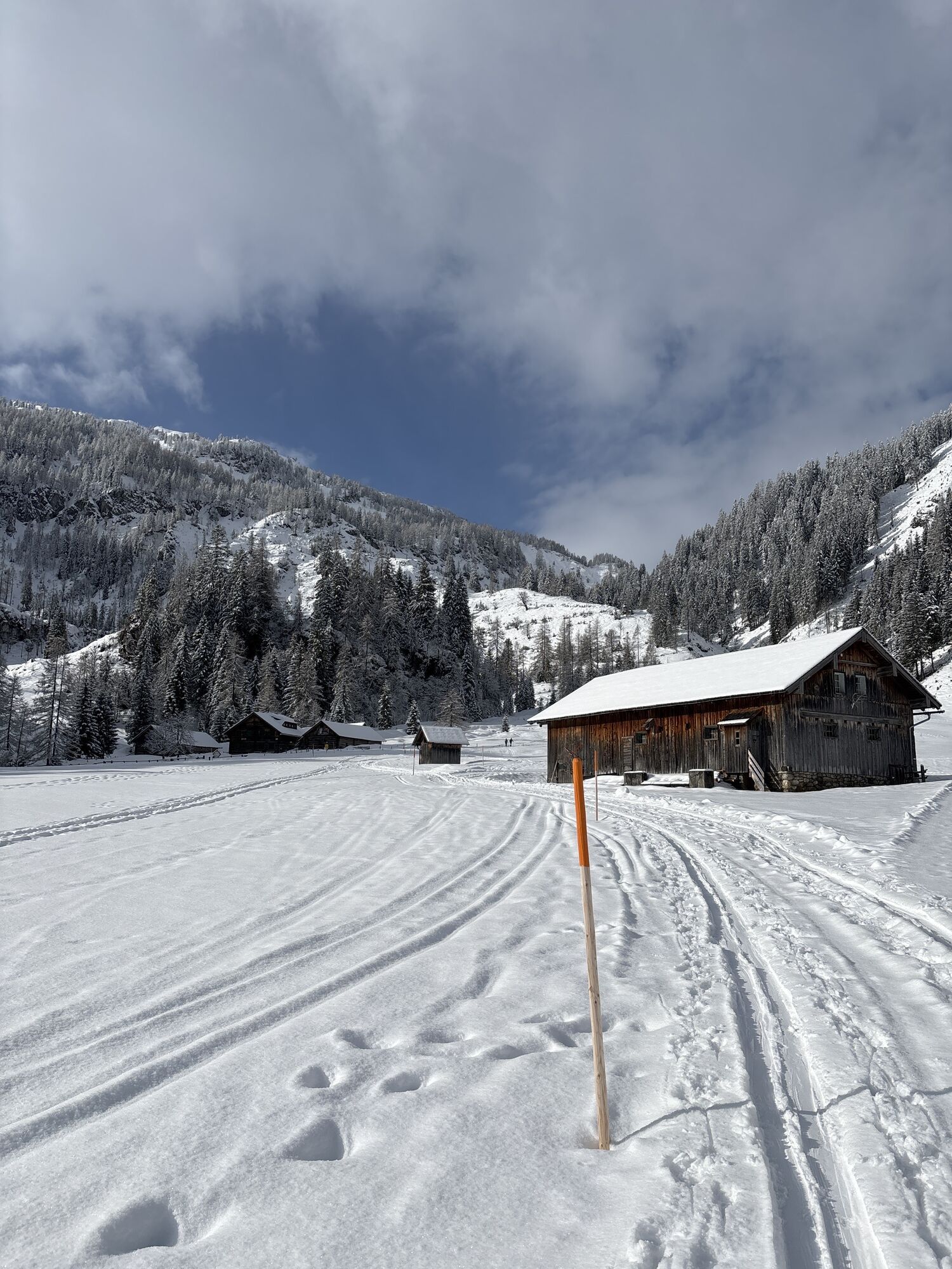
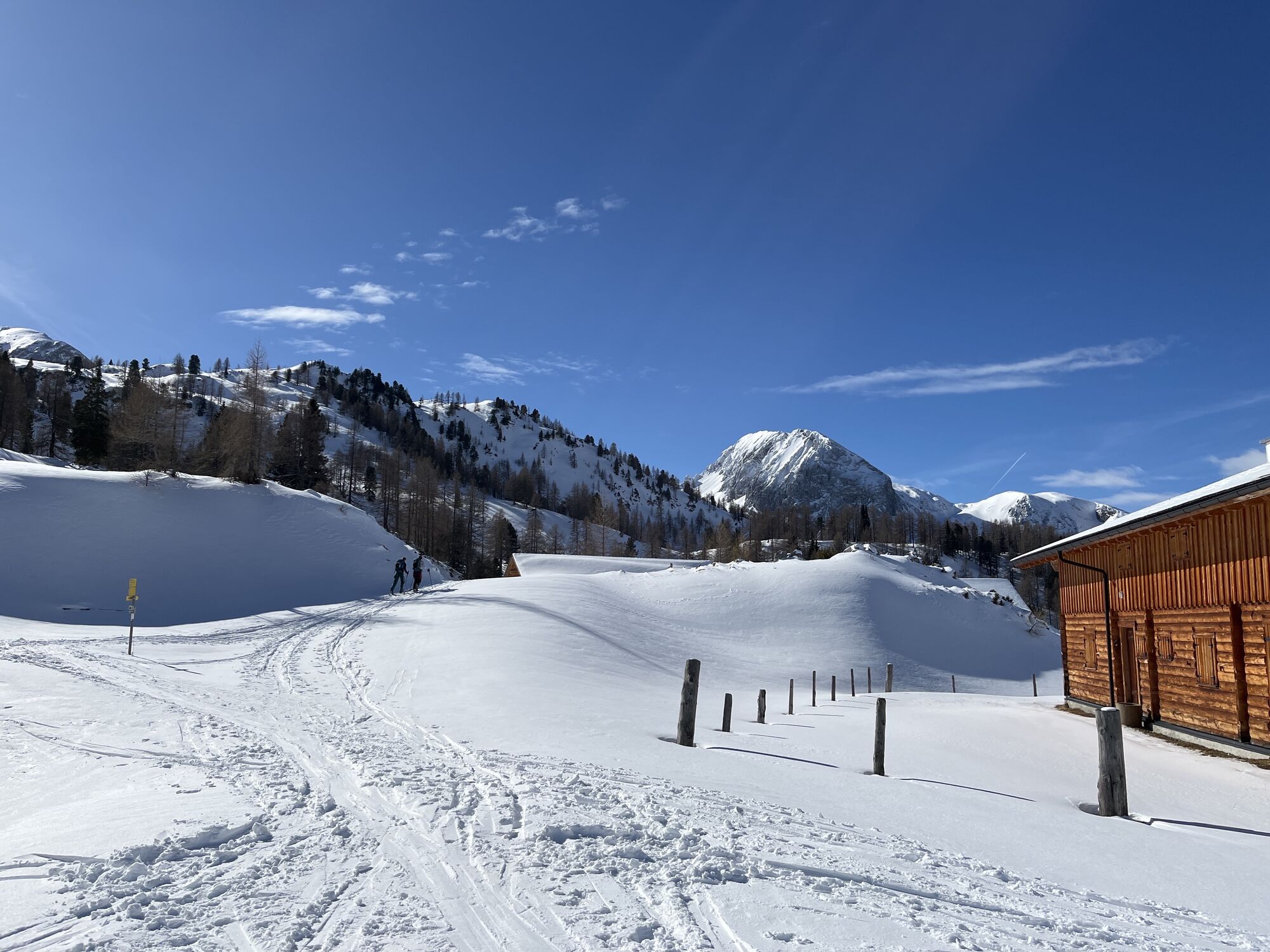
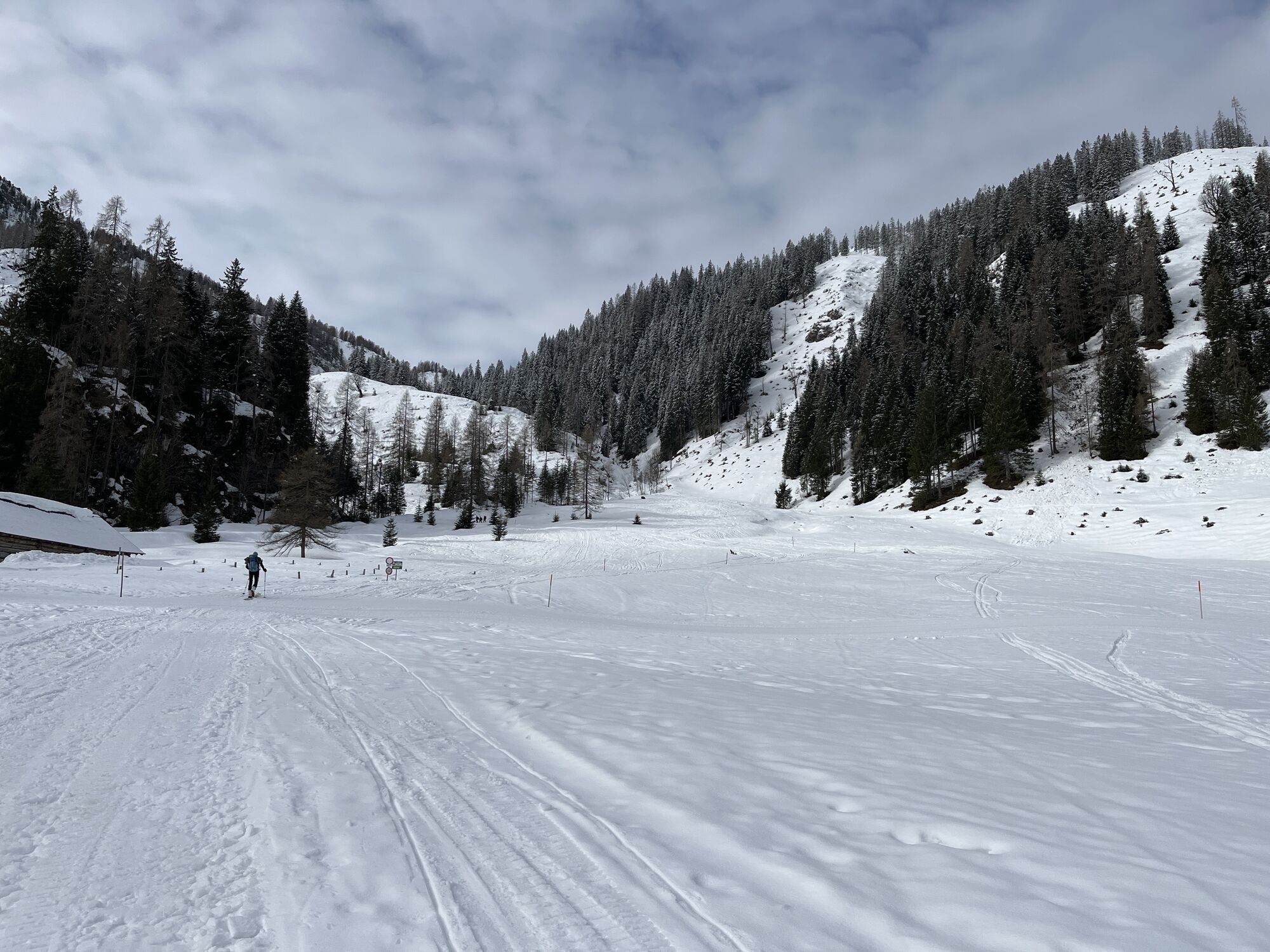
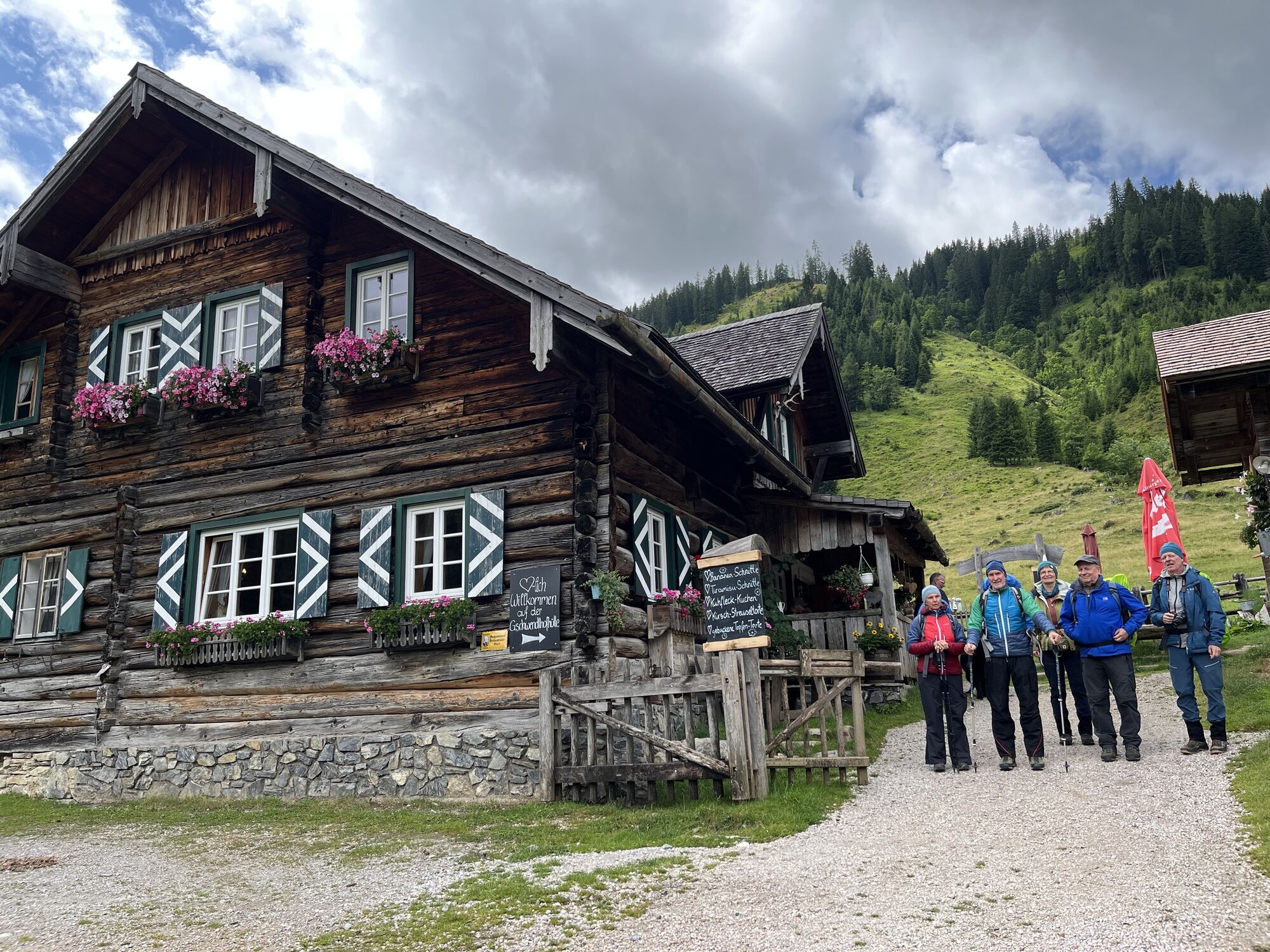
Shortly after the alm, you will encounter a group of huts. From here, you have two options: either continue uphill along the forest road or, depending on snow conditions, ascend through lightly forested terrain next to the path in untracked snow.
AVALANCHE TRANSCEIVER SET – Your life insurance in the backcountry Anyone traveling off marked pistes must carry a complete and functioning avalanche transceiver set (transceiver, probe, shovel) – and know how to use it effectively in an emergency. Only those who are prepared can help or be rescued in an emergency.
Please observe the current avalanche warning levels and use only secured paths. Personal responsibility, appropriate equipment, and mutual consideration are paramount.
ARRIVAL BY CAR
Arrive at your holiday destination safely, quickly and easily. The Obertauern ski region is easily accessible via well-developed roads from all directions!
Access from the north
Motorway Munich - Salzburg - A10 Tauern motorway - Radstadt motorway exit, Exit 63 - B99 Katschberg federal road - Radstadt - Gnadenalm
Access from the south
Villach - A10 Tauern motorway - Motorway exit toll station St. Michael, Exit 104 - Mauterndorf - Obertauern - Gnadenalm
Access from the east
Vienna - A2 - S6 - Semmering - A9 Pyhrn motorway - Liezen B320 - Radstadt or Judenburg - Murtal federal road - Murau - Tamsweg - Mauterndorf - Obertauern - Gnadenalm
TIP: If you want to arrive by public transport, the Postbus line 280 stops directly in Obertauern.
Free parking at the Gnadenbrücke or at the Gnadenalm.
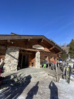
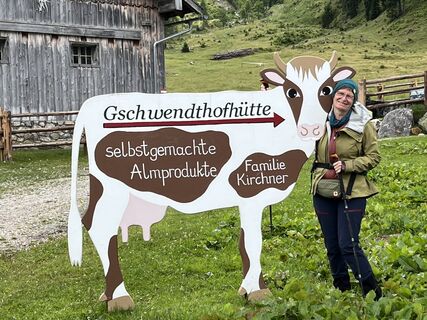
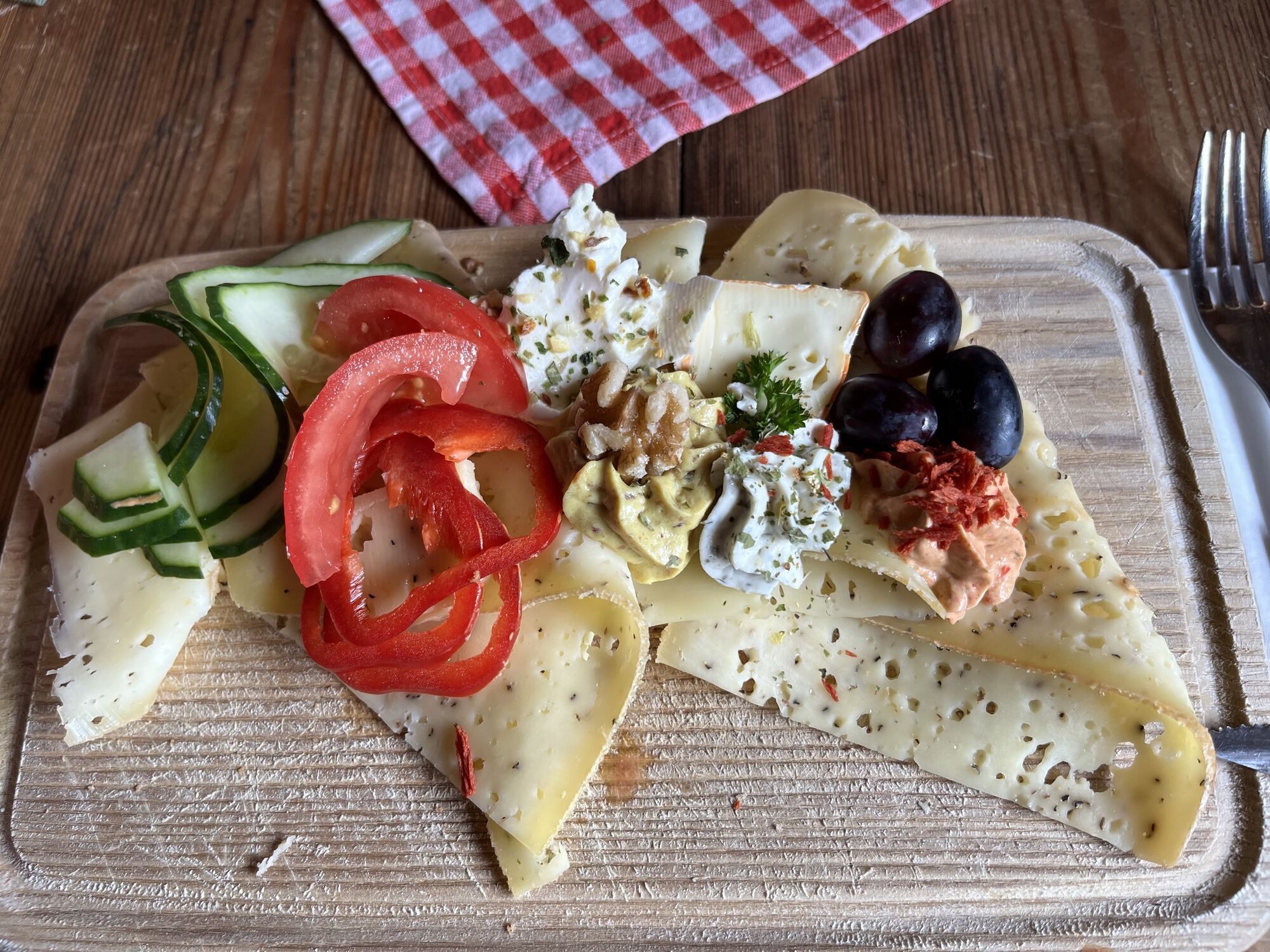
Option to stop for refreshments at the Gnadenalm
Obľúbené výlety v okolí
-
4,2
Ursprungquellweg - von der Ursprungalm zu den Giglachseen
svetloTematická trasa 9,63 km -
4,5
Mosermandl Windischscharte, Salzburger Land/Österreich
ťažkéTuristika 14,6 km -
4,1
Reiteralm Höhen-Rundweg
strednáTuristika 5,50 km -
4,8
Reiteralmrunde
svetloTuristika 5,71 km -
4,2
Ennskraxn (2410m)
ťažkéTuristika 14,7 km -
4,4
Uralm - Giglachsee
svetloTuristika 7,70 km -
4,3
Glöcknerin
ťažkéTuristika 5,60 km -
4,7
Steirische und Lungauer Kalkspitze über das Kranzl
ťažkéTuristika 10,9 km -
5,0
Rundwanderweg von der Fallhausalm und Vögeialm übers Klamml zur Oberhütte am See
strednáTuristika 10 km -
4,7
Ski route Lackenkogel
strednáSkitour 7,82 km
Turistika a stopovanie


Nenechajte si ujsť ponuky a inšpiráciu na ďalšiu dovolenku
Vaša e-mailová adresa bol pridaný do poštového zoznamu.