


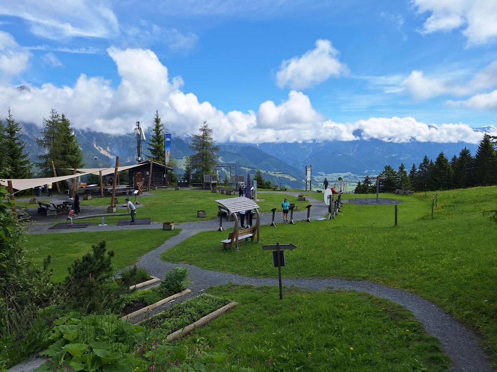
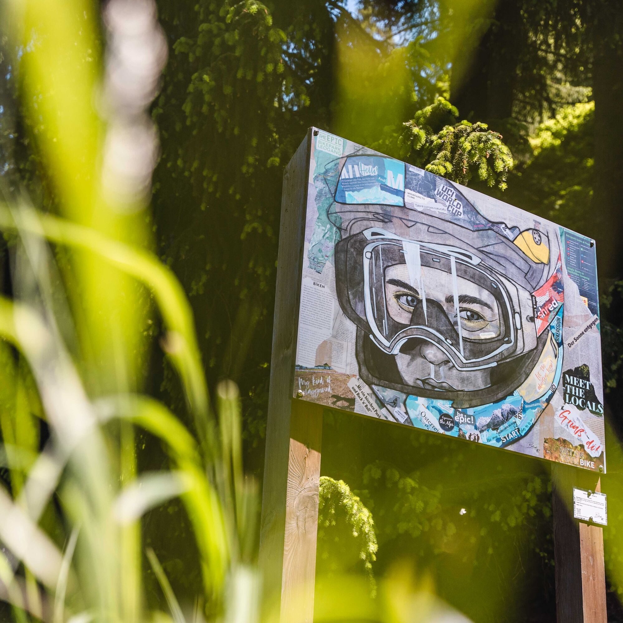
Art hiking trail at Asitz
Fotografie našich používateľov
-

 © EvaVytvorené dňa 22.07.2025
 -
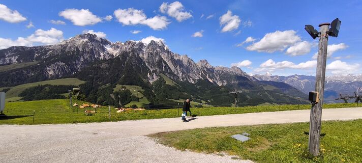 © Markus FischerVytvorené dňa 30.05.2025
 -
 © Markus FischerVytvorené dňa 30.05.2025
 -
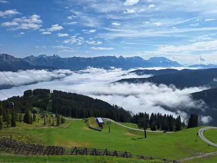
 © Hermann E.Vytvorené dňa 08.06.2024
 -
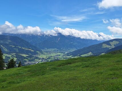
 © Hermann E.Vytvorené dňa 04.06.2024
 -
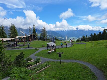
 © Hermann E.Vytvorené dňa 04.06.2024
 -
 © Hermann E.Vytvorené dňa 04.06.2024
 -
 © Volker HeisigVytvorené dňa 04.03.2026
 -
 © Hans-Christian Dr. ErdmannVytvorené dňa 13.02.2026
 -
 © Jakub GajdosVytvorené dňa 30.01.2026
 -
 © Annika ReupkeVytvorené dňa 24.01.2026
 -
 © Annika ReupkeVytvorené dňa 24.01.2026
 -
 © Bjoern KemperVytvorené dňa 08.01.2026
 -

 © Dirk MallowVytvorené dňa 25.09.2025
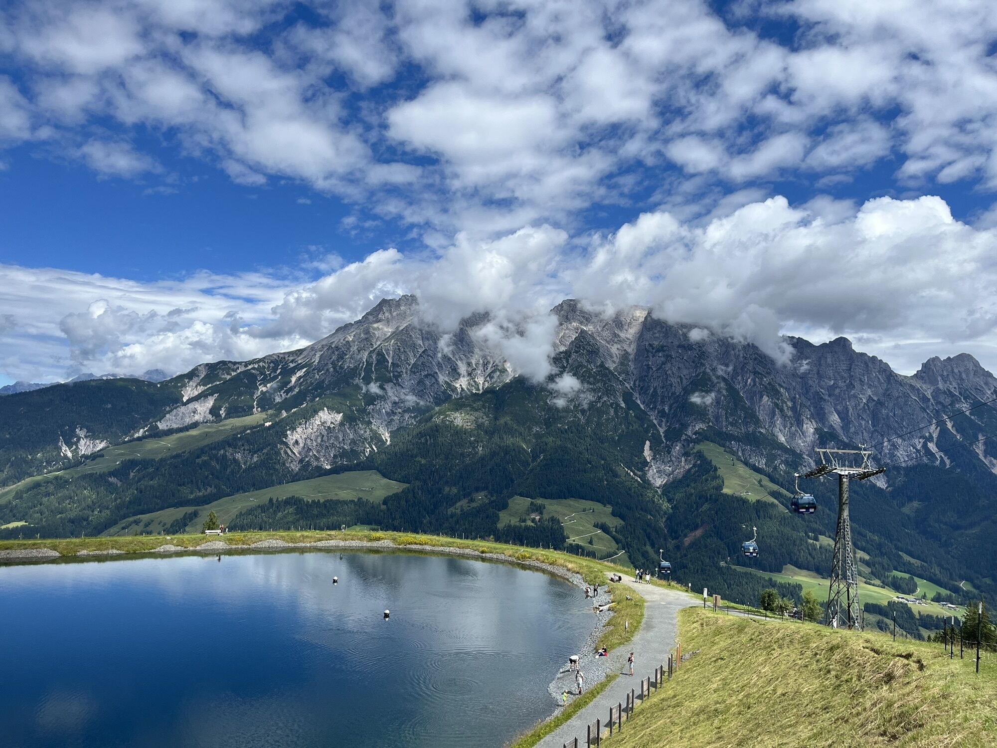


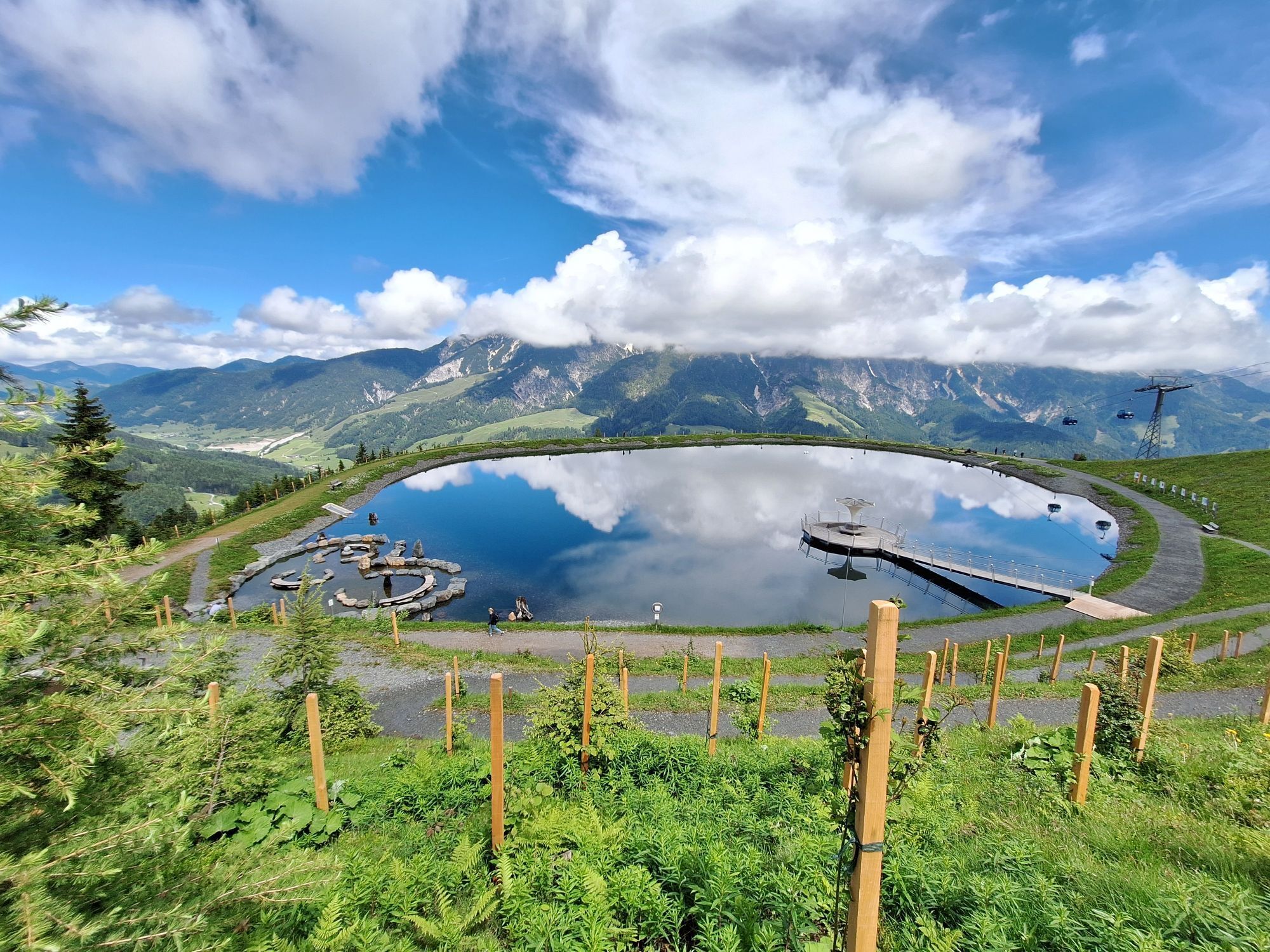
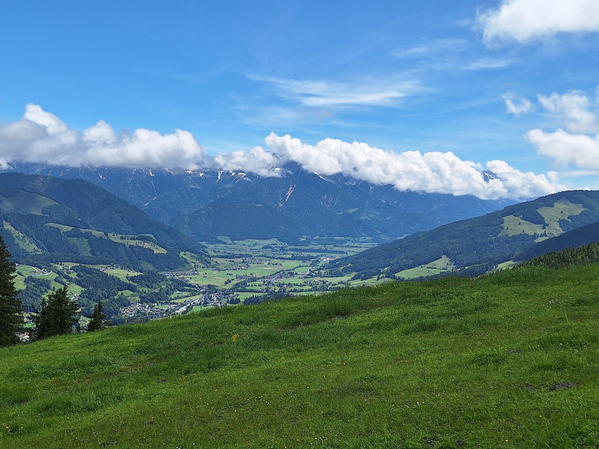


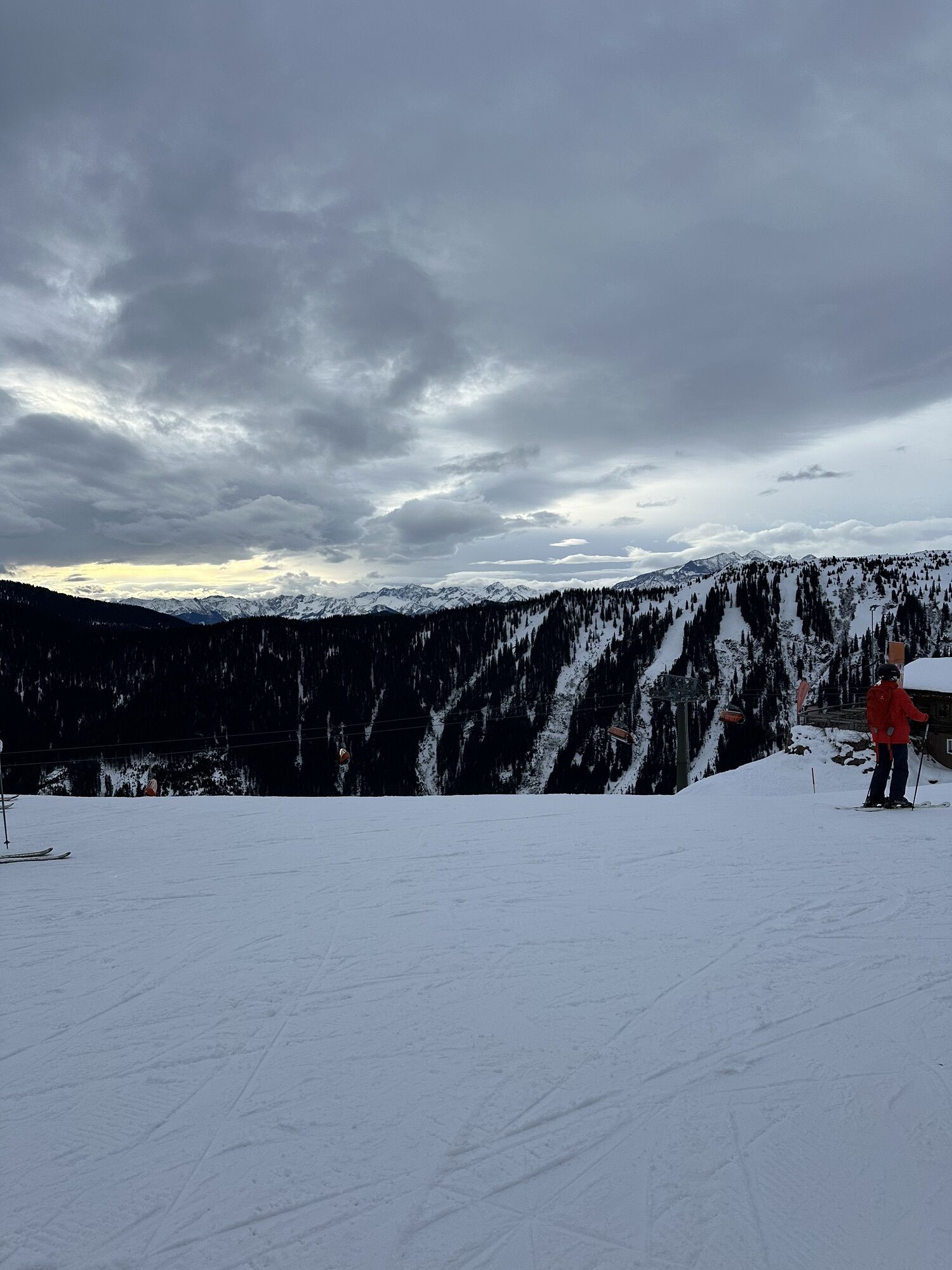
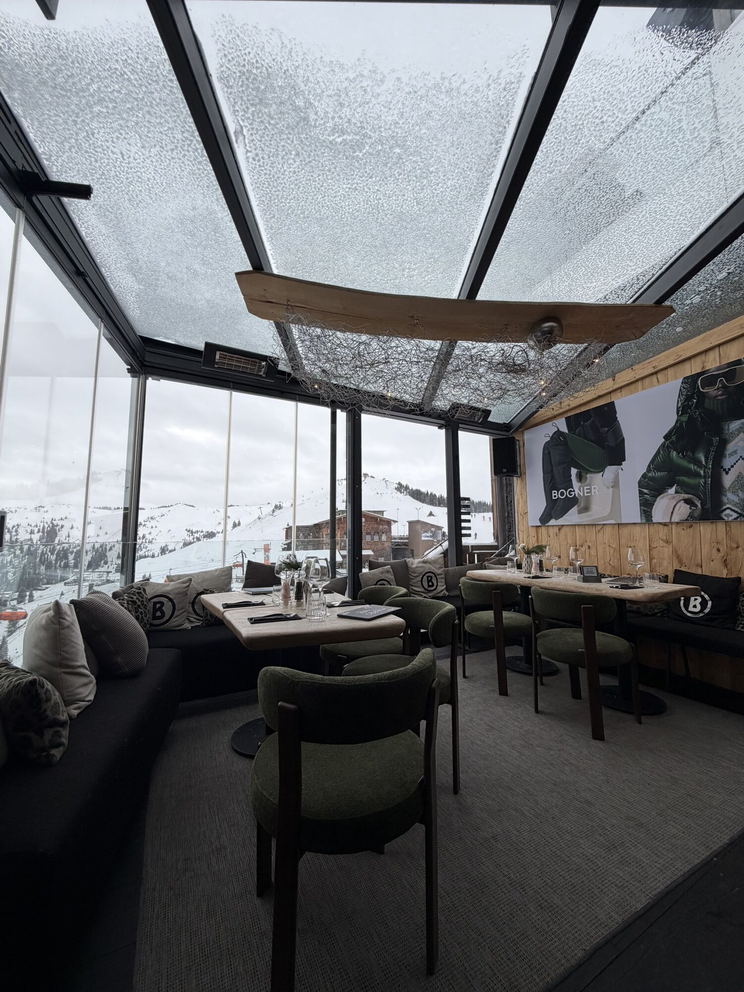
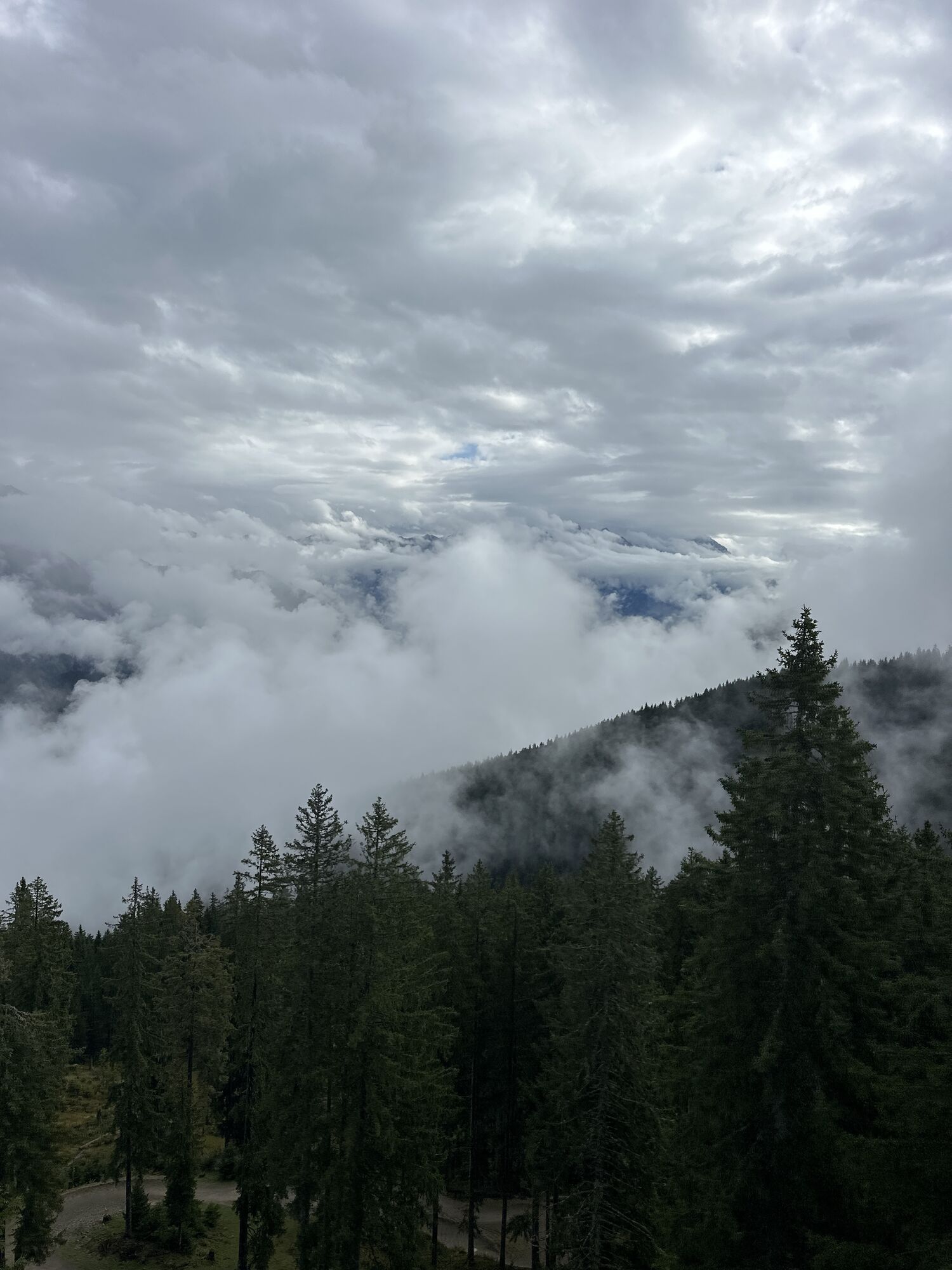
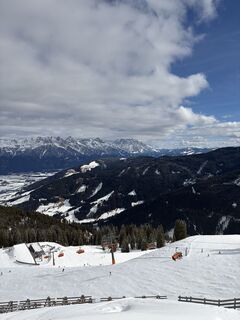
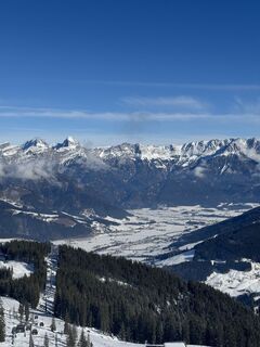
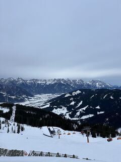
Glide with the Asitz- or with the Steinberg cable car up to 1760 m to the top station. There begins the beautiful forest path over the area "Peaceful Waters on the Asitz" to the Senses Park at the Asitz...
A photographic journey around the world through the eyes of the former, internationally successful snowboarder Stefan Gimpl.
His love of photography eventually merged with his passion for travel, and he brought home many moments captured on camera. His landscape photographs are unique.
Martina Riedlsperger
Chairwoman of the Freiraum Culture Association
Every year, a new theme is dedicated to this hiking trail. Regional and international artists are allowed to present their pictures.

The forest path can be hiked uphill from the middle station to the mountain station of the Asitzbahn or vice versa, from top to bottom.
Clothing adapted to the weather
Sturdy footwear
Backpack
Charged mobile phone for emergency 140 Alpine rescue
Overview/hiking map
Water bottle
Provisions (nuts, bars)
Headwear
Change of clothes
Sunglasses
Sunscreen SPF 30
NOTE: The Asitz is popular with both mountain bikers and hikers. Mutual consideration is requested!
On the Mountain of the Senses, grazing livestock such as cows, horses, sheep, and goats also spend their well-deserved alpine summer. How to behave properly around them can be found here.
For more demanding routes, please note the last descent of the Asitzbahn at 4:30 pm.
We care about our environment – please help us by bringing your trash back to the valley.
BY CAR
From Saalfelden or St. Johann in Tirol via B 164 to Leogang. The valley station of the Asitzbahn is about 4 km from the town center towards Hochfilzen.
BY TRAIN
You can enjoy your holiday from the start by train. No traffic jam will keep you from getting to Saalfelden Leogang! Furthermore, the ÖBB timetable helps you quickly and easily find the ideal train connection to Leogang station: oebb.at (about 30 minutes walk to the starting point)
BY BUS
The valley station of the Leogang Asitzbahn can be reached by postbus from the center of Saalfelden or Leogang. The bus stop "Leogang Asitzbahnen" is located directly at the cable car. Further information can be found at https://fahrplan.salzburg-verkehr.at/
Parking is available at the valley station of the Asitzbahn (Hütten 39, 5771 Leogang) and the Steinbergbahn (Rain 132, 5771 Leogang).
Obľúbené výlety v okolí
-
4,6
Steinalm
svetloTuristika 2,71 km -
4,3
Peter-Wiechenthaler Hut
strednáTuristika 4,32 km -
4,1
Schwalbenwand Nr. 80, 81, 82
strednáTuristika 13,0 km -
4,1
Passauer Hütte
ťažkéTuristika 4,14 km -
4,9
Hochsonnberg Runde
strednáMountainbike 59,8 km -
4,5
Birnbachloch Leogang, Österreich
strednáTuristika 5,18 km -
4,4
Thumersbach, Runde um den Zeller See
svetloTuristika 13,3 km -
4,2
Hundstein-Runde von Maria Alm
ťažkéMountainbike 44,4 km -
4,5
Lettlkaser
strednáTuristika 4,40 km -
5,0
Panorama route 3 peaks and 2 lakes
strednáTuristika 7,35 km

Turistika a stopovanie


Nenechajte si ujsť ponuky a inšpiráciu na ďalšiu dovolenku
Vaša e-mailová adresa bol pridaný do poštového zoznamu.