


Alles Alm Tour


Fotografie našich používateľov
-

 © Bahn MichaVytvorené dňa 04.09.2025
 -

 © Robert KremlickaVytvorené dňa 13.03.2025
 -
 © Robert KremlickaVytvorené dňa 13.03.2025
 -
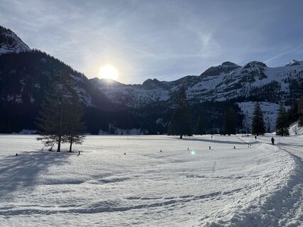
 © Heinz SperlVytvorené dňa 28.02.2025
 -
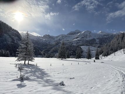
 © Raimund SchulczVytvorené dňa 22.01.2025
 -
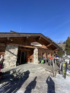
 © Raimund SchulczVytvorené dňa 22.01.2025
 -
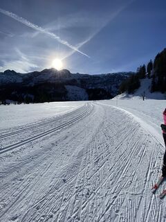
 © Heinz SperlVytvorené dňa 06.02.2024
 -

 © Václav StejskalVytvorené dňa 03.07.2023
 -
 © Václav StejskalVytvorené dňa 03.07.2023
 -
 © Václav StejskalVytvorené dňa 03.07.2023
 -
 © Václav StejskalVytvorené dňa 03.07.2023
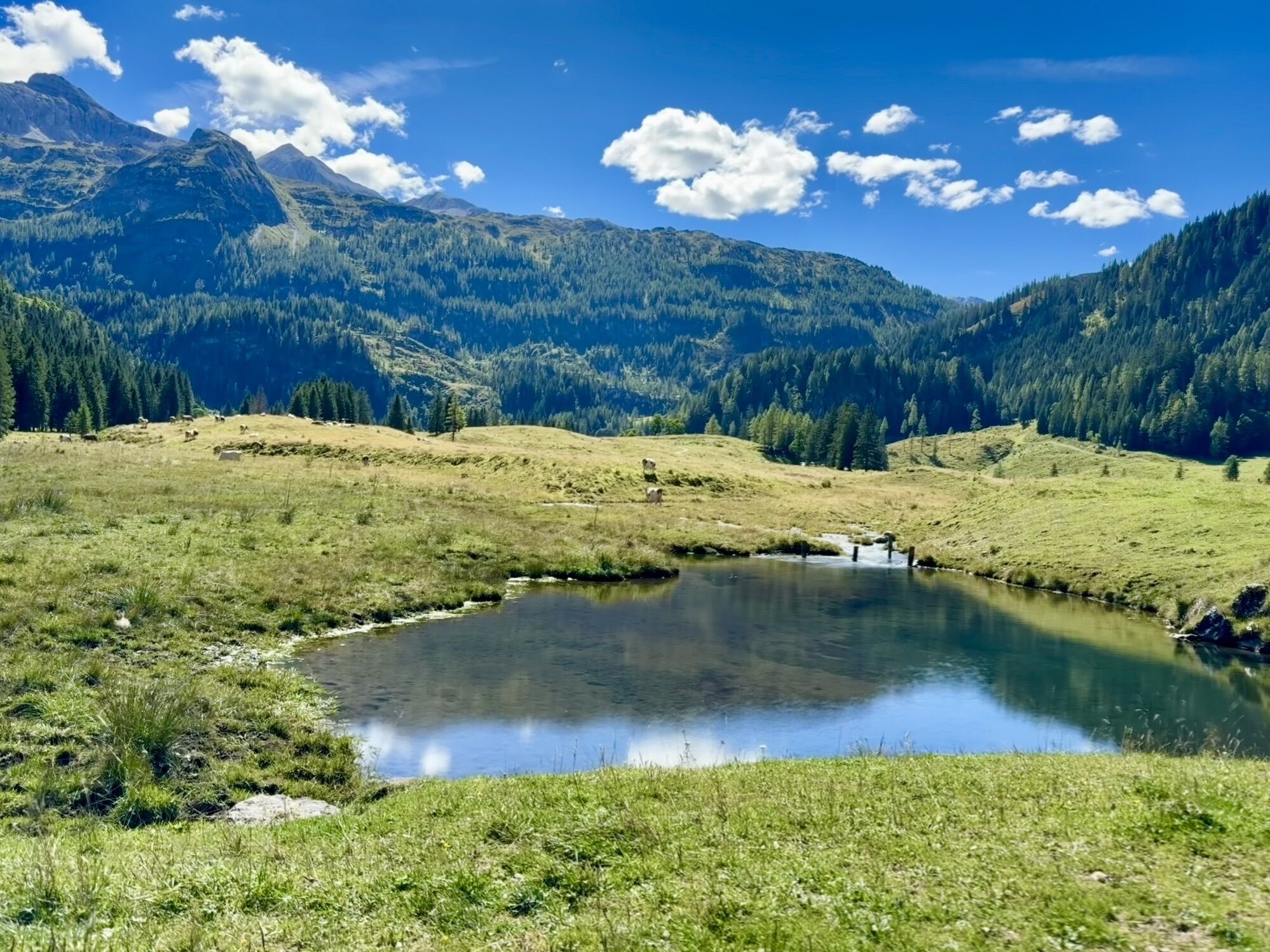

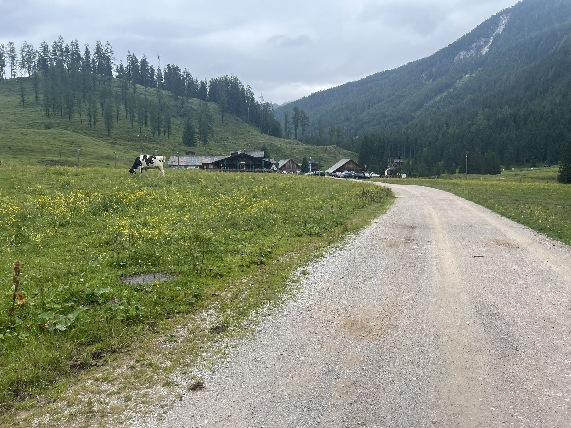
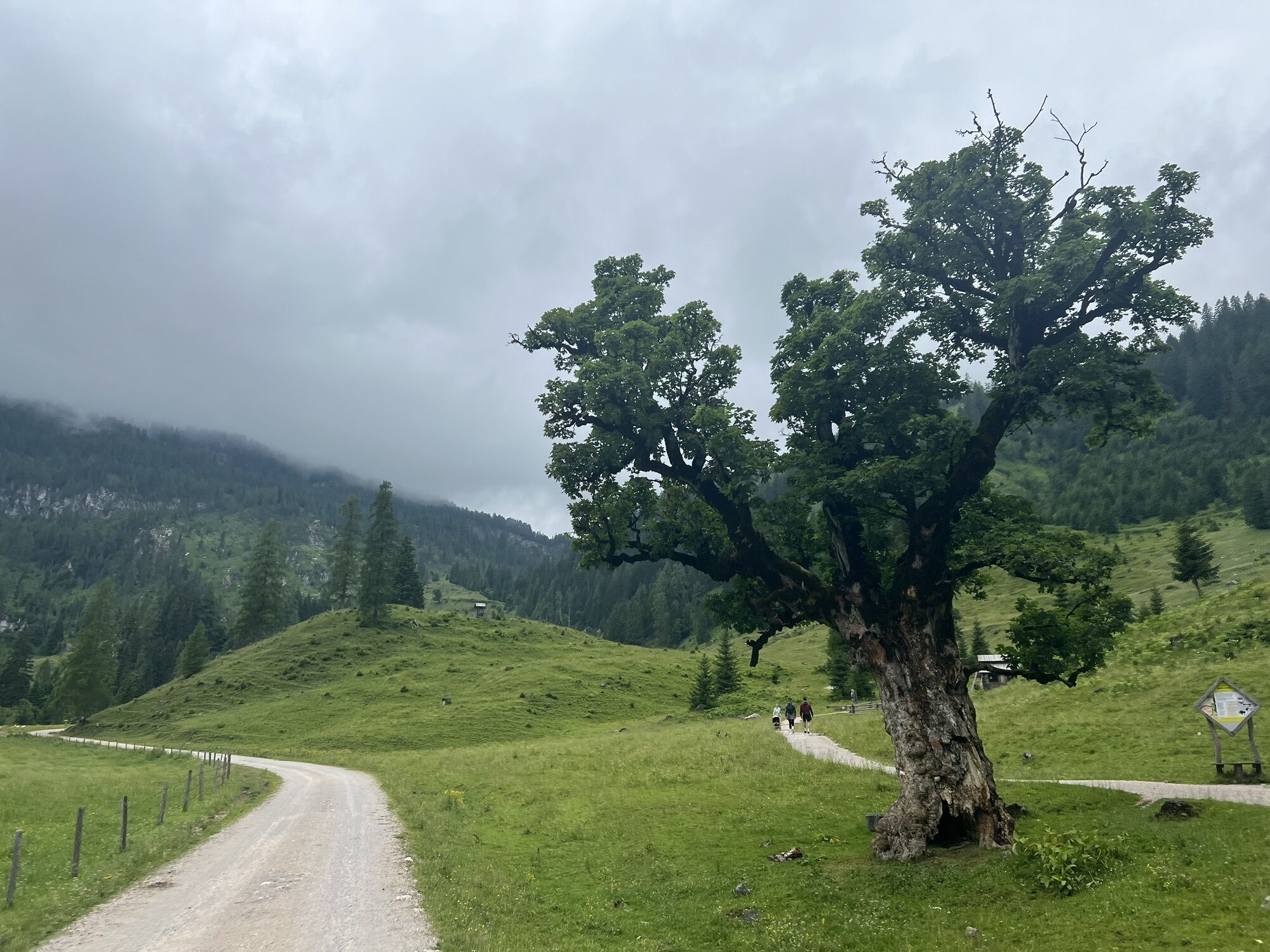
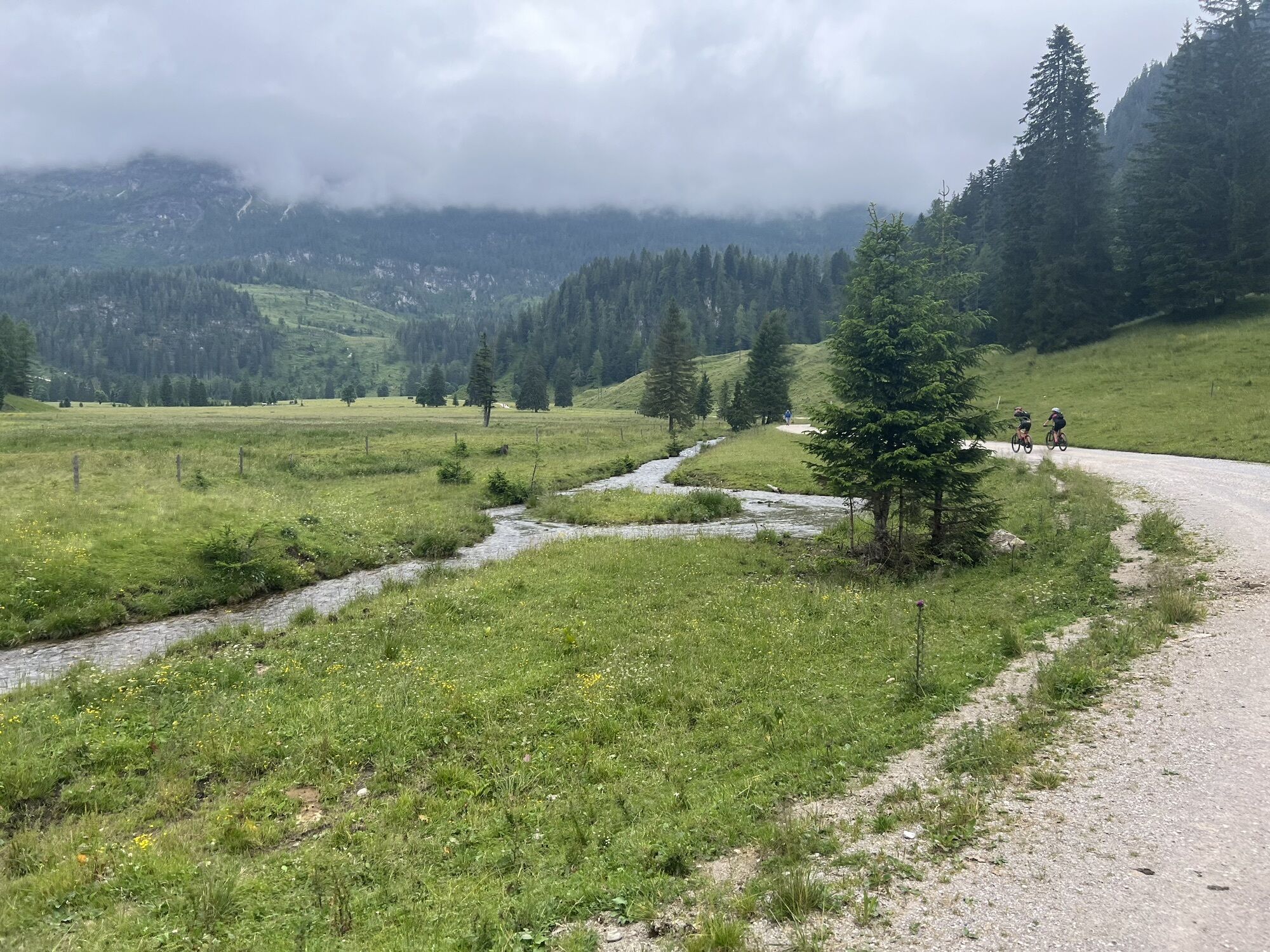


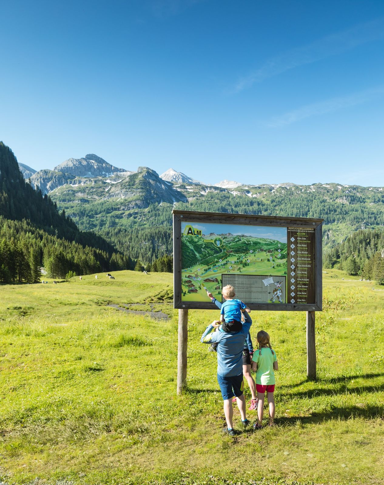
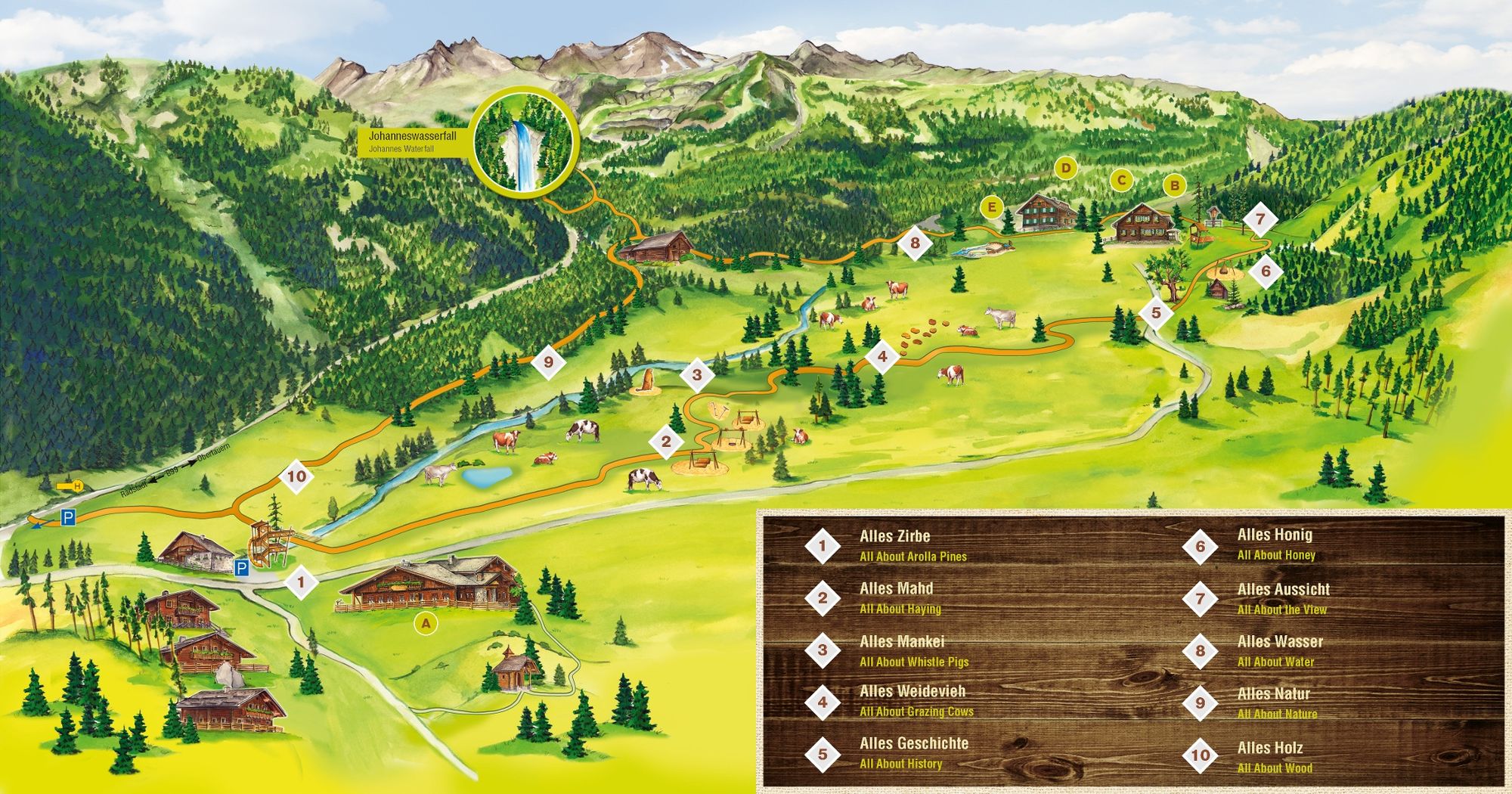
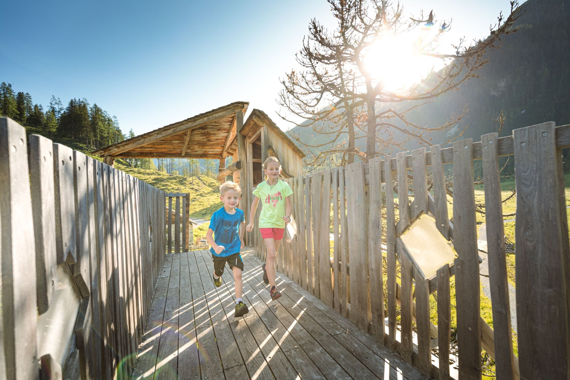
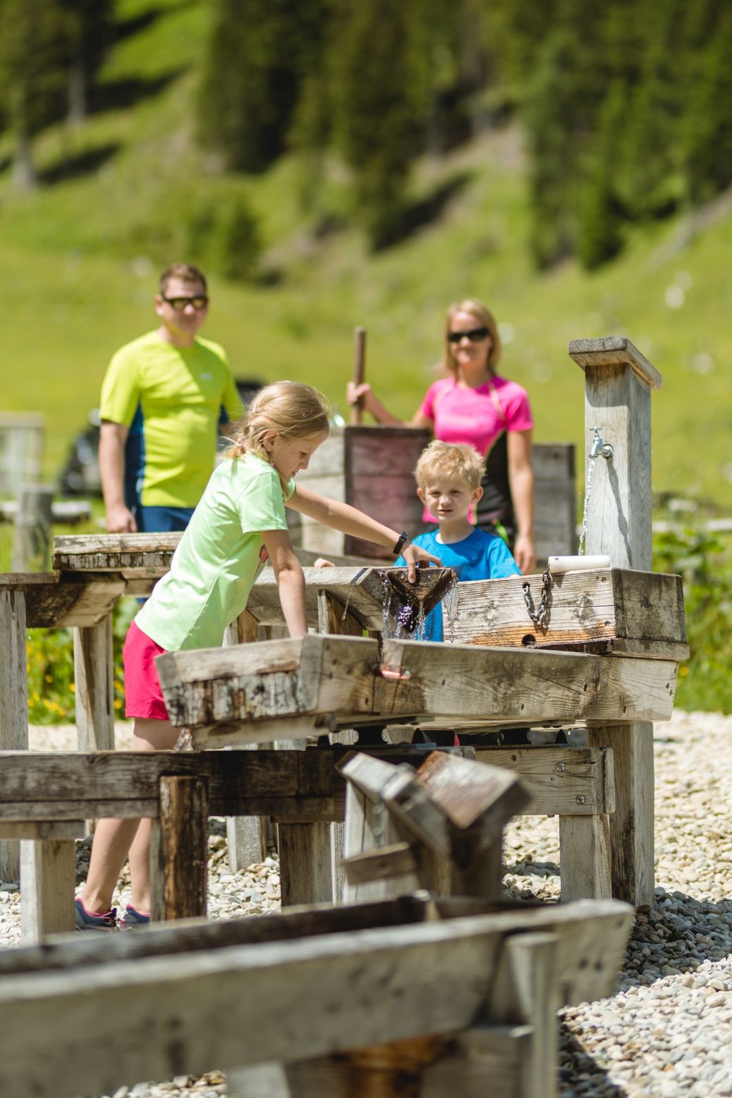
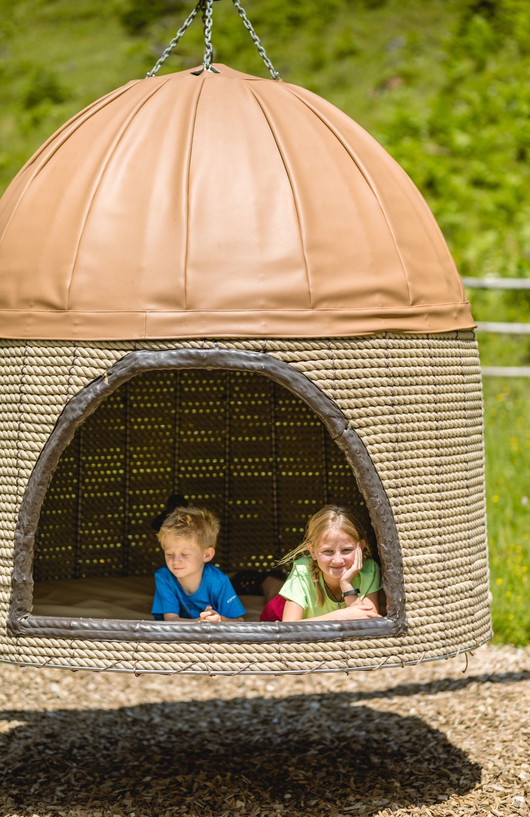
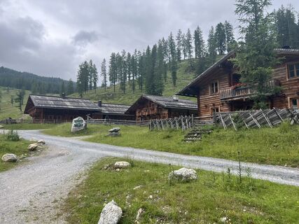
Between the individual hiking sections, visitors can engage with various topics around the alpine pasture in an entertaining way and enjoy and relax with the wonderful view at cozy themed rest areas. Children can romp to their heart's content, balance on the oversized rake and scythe, visit the marmot family in the marmot burrow, prove their skill on the cow-spot jump mile, and much more. "Alles Alm" is free of charge and ideal for a half-day excursion. Numerous rustic alpine huts invite you to linger, and if that's not enough, you can also admire the impressive Johannes Waterfall up close.
Áno
Áno
Áno
Our tips for optimal equipment: good footwear, a comfortable backpack, weatherproof clothing in layers, sufficient sun protection, and enough to drink – so you are well prepared for your hike.
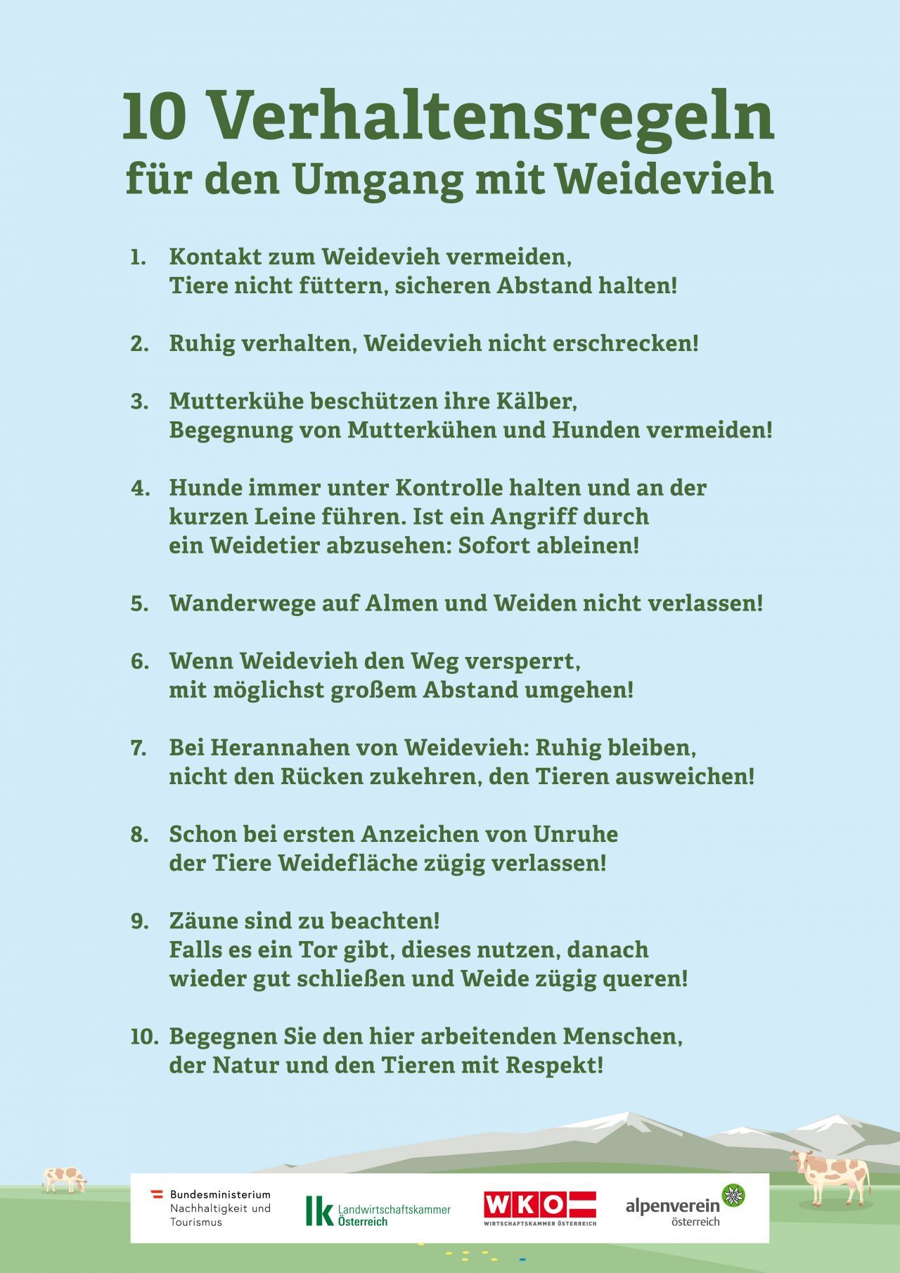
No safety instructions are to be observed.
ARRIVAL BY CAR
Arrive safely, quickly, and easily at your vacation destination. The hike is easily accessible via well-developed roads – and from all directions!
Access from the North
Motorway Munich - Salzburg - A10 Tauern Motorway - Motorway exit Radstadt, Exit 63 - B99 Katschberg Federal Road - Radstadt - parking lot Gnadenalm
Access from the South
Villach - A10 Tauern Motorway - Motorway exit toll station St. Michael, Exit 104 - Mauterndorf - Obertauern - parking lot Gnadenalm
Access from the East
Vienna - A2 - S6 - Semmering - A9 Pyhrn Motorway - Liezen B320 - Radstadt or Judenburg - Murtal Federal Road - Murau - Tamsweg - Mauterndorf - Obertauern - parking lot Gnadenalm
TIP: If you want to travel by public transport, the Postbus line 280 stops directly at the Gnadenalm.
Online bus schedule information
You can park free of charge at the parking lot near the Gnadenalm Stüberl. This parking lot is also the starting point for the hike.
Summer cable cars in Obertauern
Obertauern Tourism Association
Walking times calculated according to the guidelines of the Alpine Club: DAV calculator
Be sure to fill out the puzzle card and win a "Flecki".
Obľúbené výlety v okolí
-
4,5
Mosermandl Windischscharte, Salzburger Land/Österreich
ťažkéTuristika 14,6 km -
4,1
Reiteralm Höhen-Rundweg
strednáTuristika 5,50 km -
4,8
Reiteralmrunde
svetloTuristika 5,71 km -
4,4
Uralm - Giglachsee
svetloTuristika 7,70 km -
4,2
Ennskraxn (2410m)
ťažkéTuristika 14,7 km -
4,3
Glöcknerin
ťažkéTuristika 5,60 km -
4,6
Ski route Lackenkogel
strednáSkitour 7,82 km -
5,0
Rundwanderweg von der Fallhausalm und Vögeialm übers Klamml zur Oberhütte am See
strednáTuristika 10 km -
5,0
Forstau - Rippetegg / Reiteralm
strednáTuristika 13,9 km -
4,4
Ski tour Liebeseck
ťažkéSkitour 14,1 km
Turistika a stopovanie


Nenechajte si ujsť ponuky a inšpiráciu na ďalšiu dovolenku
Vaša e-mailová adresa bol pridaný do poštového zoznamu.